
 Viewpoint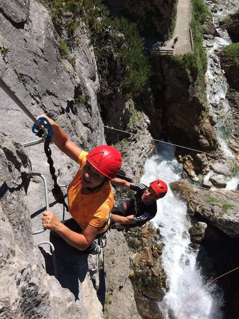
 Historic site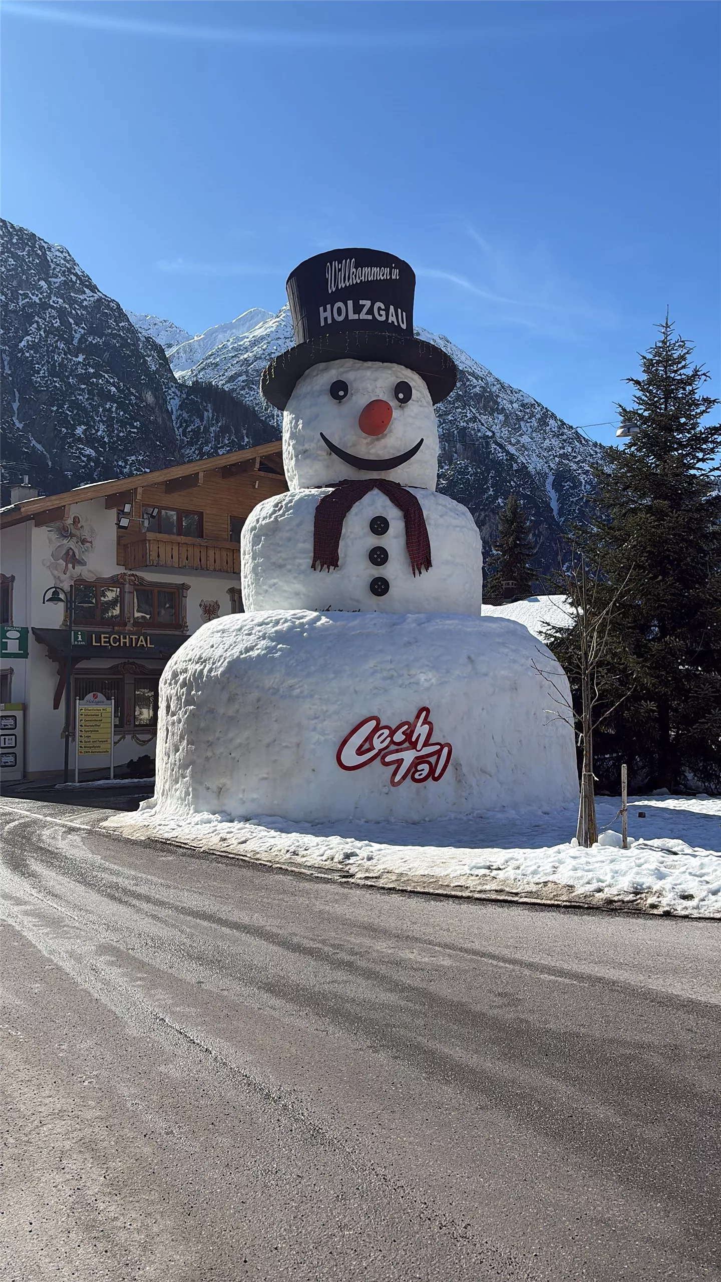
 Via ferrata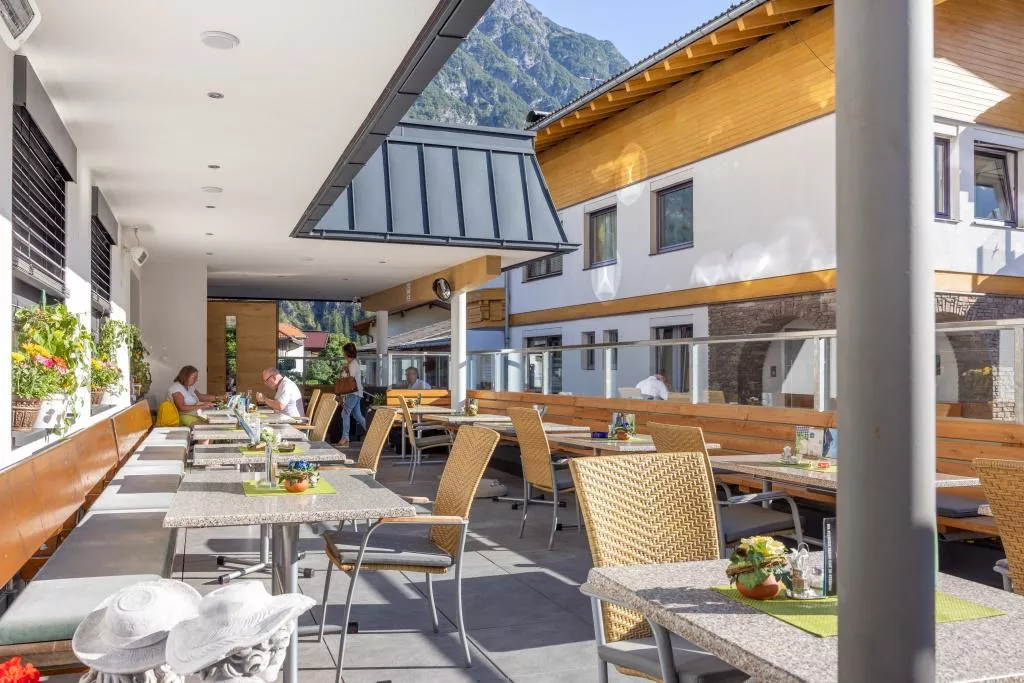
















Curated by Lechtal Tourismus
Holzgau
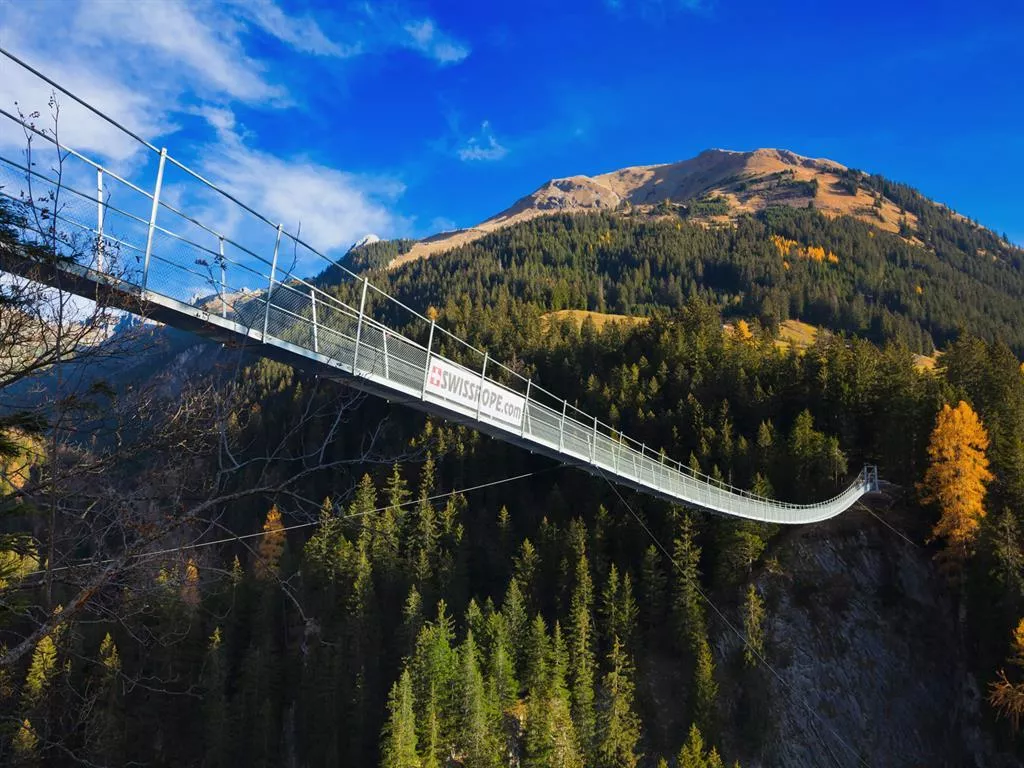
An upper Lechtal village of frescoed merchant houses, where a 200-metre suspension footbridge spans the Höhenbach ravine below the Simms waterfall.
- 11Highlights
- 55Routes
- Featured summit · Krottenkopf
Highlights
4 from neighbouring places
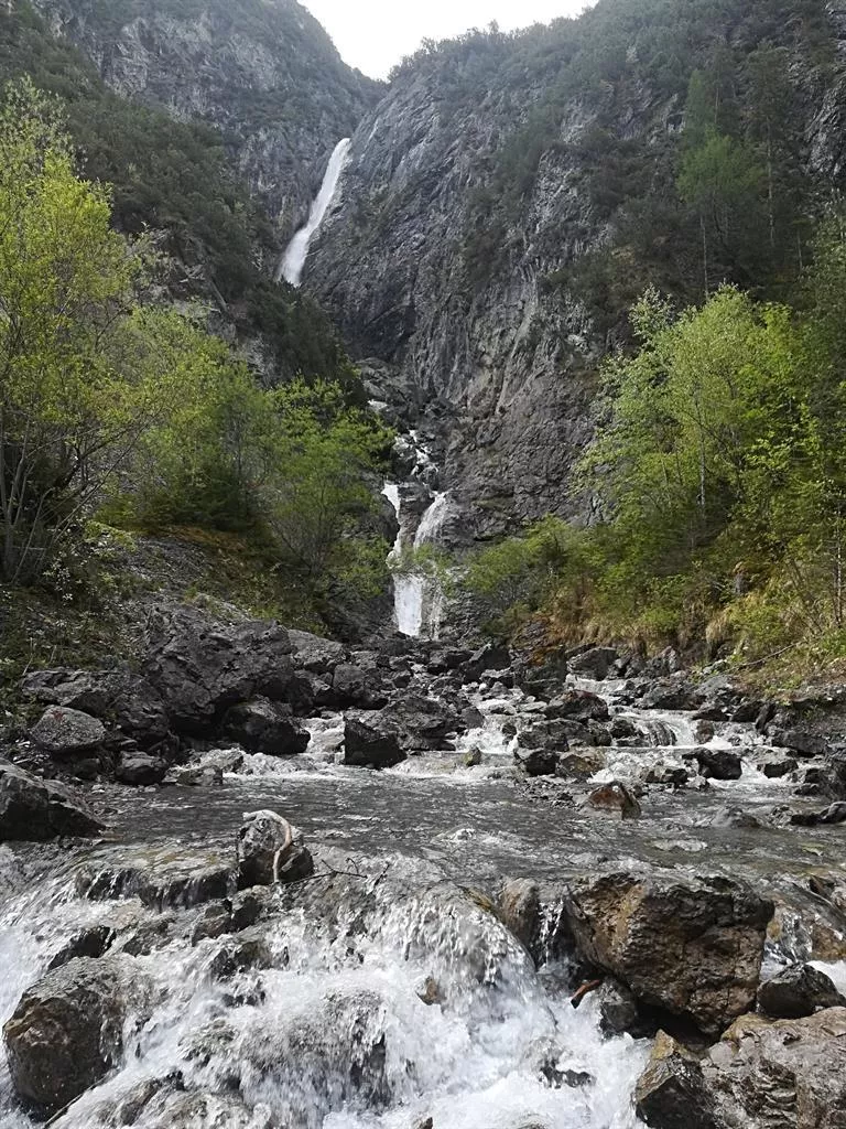
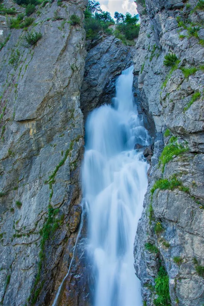
Simmswasserfall
A waterfall in the Höhenbach valley above Holzgau, visited together with the nearby suspension bridge on the Lechtal's walking paths.
Hängebrücke Holzgau
A roughly 200 m pedestrian suspension bridge spanning the Höhenbach gorge at Holzgau, hanging about 110 m above the stream.
Erlebnisklettersteig Simmswasserfall
A via ferrata climbing beside the Simmswasserfall in the Höhenbach gorge at Holzgau, with ladders and cables close to the falling water.
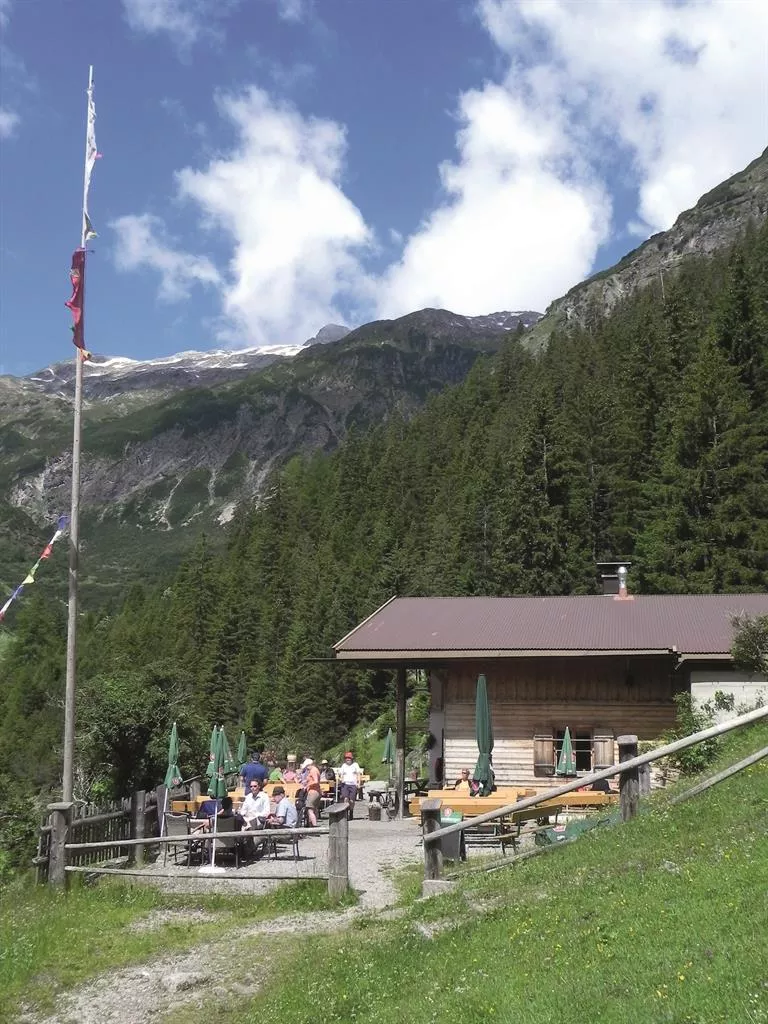
Roßgumpenalm 1.329 m
An alm at 1,329 m in the Höhenbach valley above Holzgau, a refreshment stop near the Simms waterfall on the route toward the Kemptner Hütte.
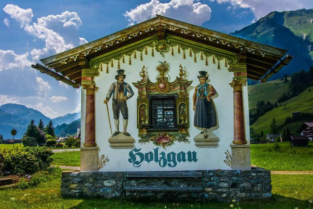
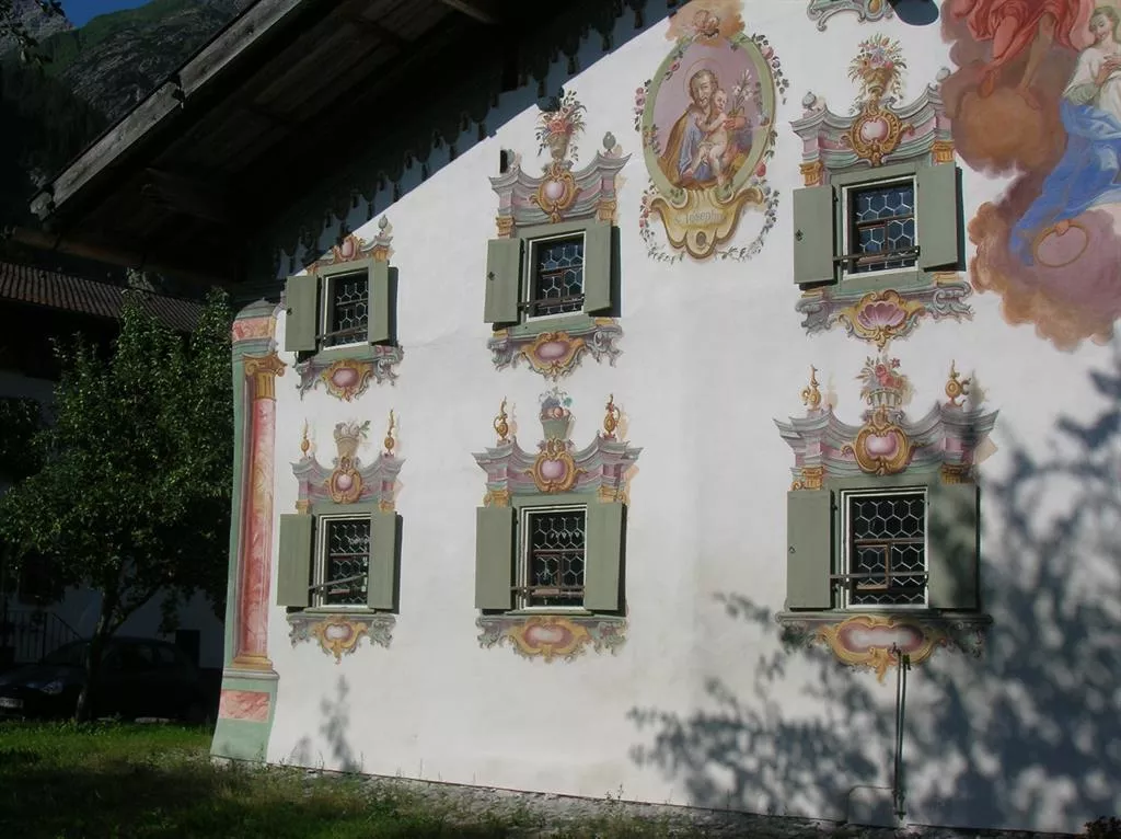
Das Dorf der Lüftlmalerei
Holzgau's historic centre, where many house facades carry Lüftlmalerei frescoes, the painted decoration typical of the region.
Schneemann Holzgau
A snowman figure that has become a small local landmark in Holzgau, a light-hearted stop among the village's painted houses.
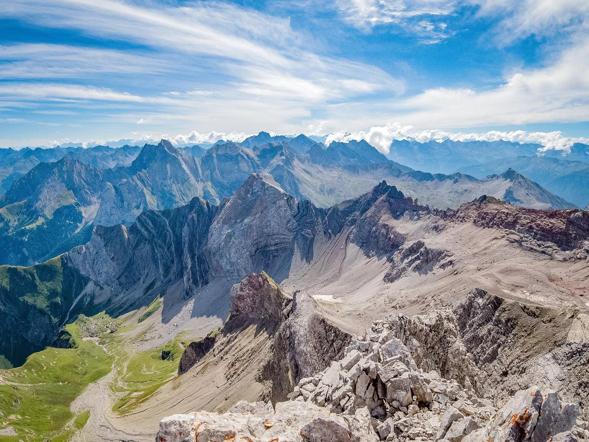
Klettergebiet Freispitze 2884 m
An alpine climbing area on the Freispitze, a 2,884 m peak of the Lechtal Alps approached from Holzgau, with long rock routes.
Dorfstube Holzgau
A traditional inn in the centre of Holzgau, serving Austrian and regional dishes in one of the village's historic houses.
Heimatmuseum Holzgau
Holzgau's local history museum, displaying household objects and records of everyday village life in the upper Lechtal.
Lechtaler Kräuterhexen
A herb collection and workshop venue in Elbigenalp run by the Lechtal 'herb witches', with courses and talks on traditional plant lore.
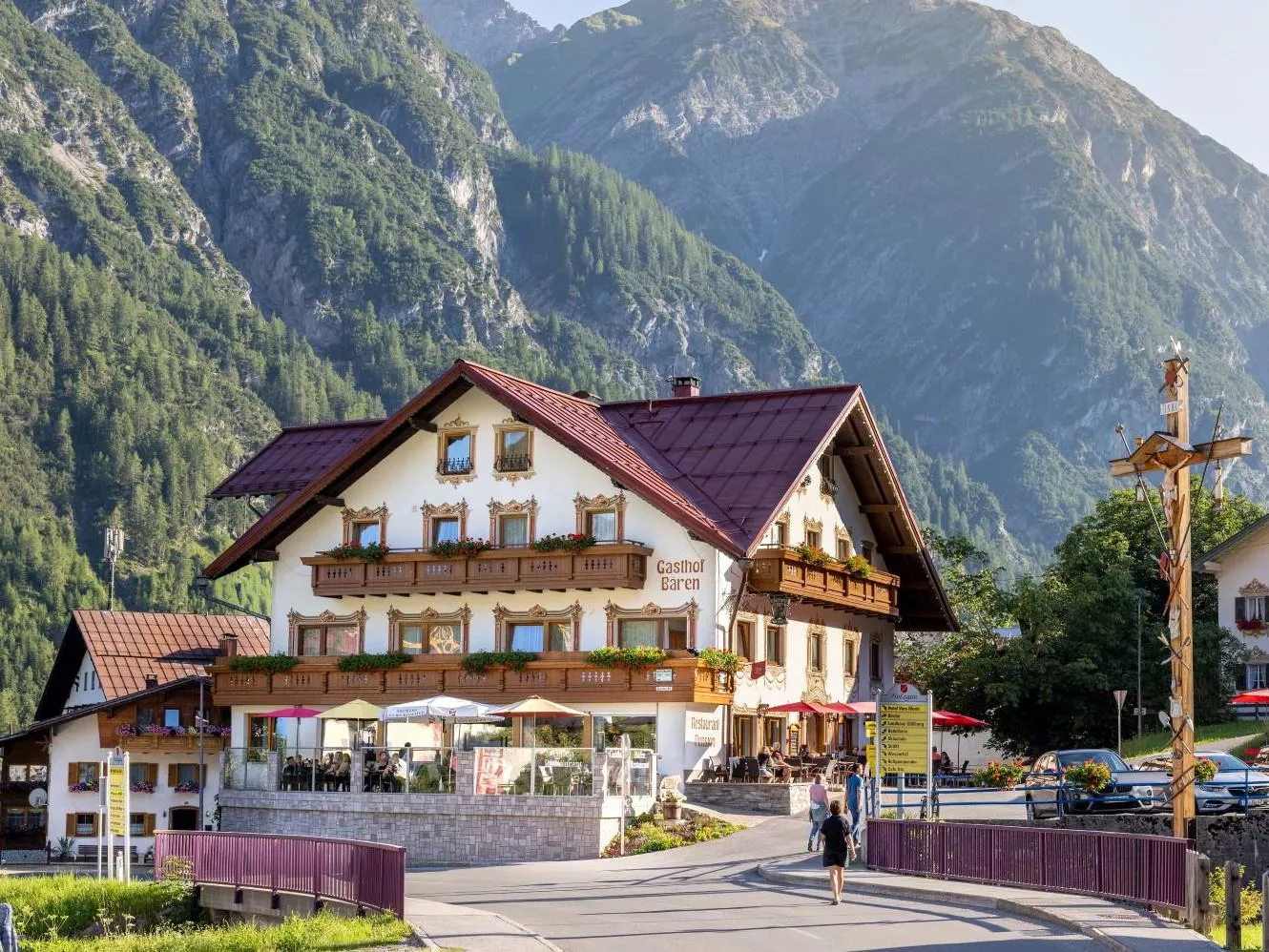
Gasthof Bären
A traditional village inn at Holzgau with a beer garden and a kitchen ranging from Austrian and regional dishes to Italian and vegetarian cooking.
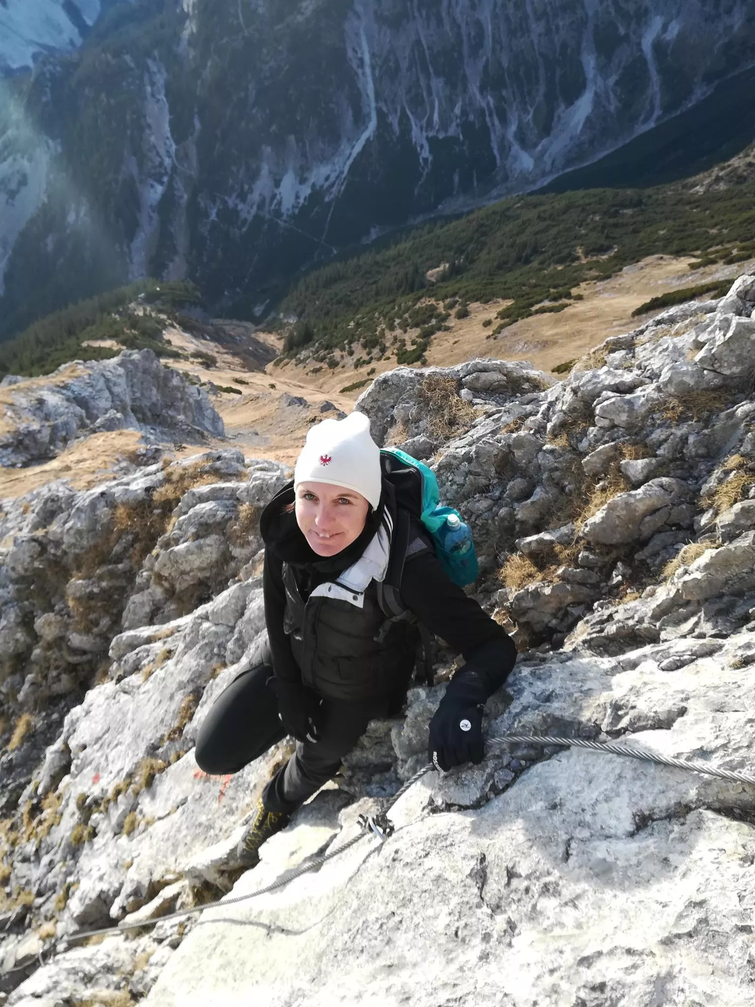
Wanderführerin Daniela Pfefferkorn
3.1 km away, in Steeg
Daniela Pfefferkorn, a certified walking guide based at Steeg, leading group and family hikes in the upper Lechtal.
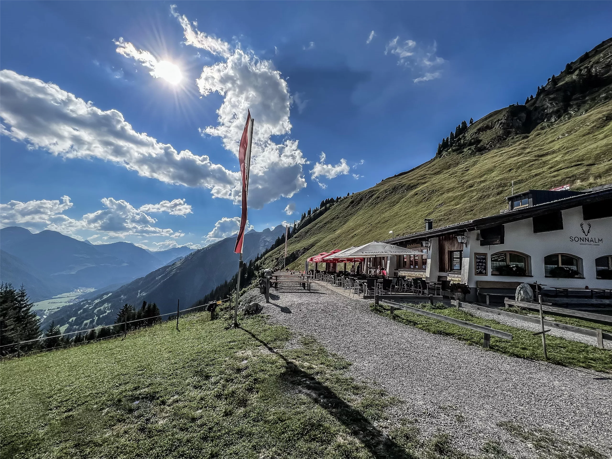
Sonnalm Jöchelspitze 1.800 m
3.2 km away, in Bach
A mountain restaurant at 1,800 m at the top of the Jöchelspitze lifts above Bach, serving walkers in summer and skiers in winter.
Lechmed Kräuterwelt
3.3 km away, in Steeg
A herb workshop in Steeg at the head of the Lechtal, with demonstrations, courses and talks on gathering and processing alpine herbs.
Hägerauer Wasserfall
3.6 km away, in Steeg
A waterfall at Hägerau near Steeg in the upper Lechtal, dropping from the mountainside above the valley floor at about 1,100 m.
Nothing of this kind in Holzgau.
Routes
50 routes, an even mix of activities · see the rest on lechtal.at ↗
Holzgau - Rossgumpenalm
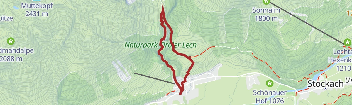
Family walk from Holzgau to the Untere Roßgumpenalp, going by the Simmswasserfall and the Kleittersteig.
- 4.4 km
- Distance
- 247 m
- Ascent
- 1 h 25 min
- Duration
- 30
- Check-ins
 Untere Roßgumpenalp 1 350 m
- Cafe Uta 1 237 m
- Lechtal Tourismus 1 099 m
- Vordere Schochenalpe 1 344 m
 Wehr Wasserkraftkwer Holzgau 1 159 m
Bergstation Jöchspitzbahn - Rossgumpenalm - Holzgau
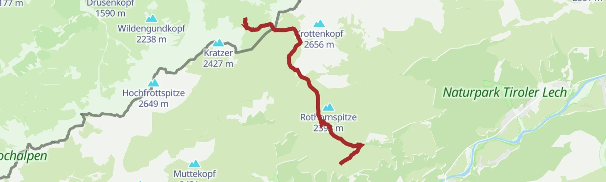
Descending line from the Jöchlspitze lift to Holzgau, crossing the Rothornjoch and dropping past both Roßgumpen alms and Cafe Uta.
- 12.5 km
- Distance
- 544 m
- Ascent
- 5 h 25 min
- Duration
- 60
- Check-ins
Heilbronner Höhenweg
A 29 km high route with 2,627 m of climbing, linking the Rappenseehütte and the Mädelejoch by way of the Wilder Mann and the Krottenkopfscharte.
- 29.0 km
- Distance
- 2 627 m
- Ascent
- 17 h 25 min
- Duration
- 102
- Check-ins
Skitour auf das Mädelegabel
A summit that is busy in summer sees few winter visitors; above the steep step past the Mittlere Schochen Alp the skiing opens out, and in good conditions the skis go to the top.
- 8.3 km
- Distance
- 1 475 m
- Ascent
- 0 m
- Descent
- 4 h 10 min
- Duration
- 25
- Check-ins
- Untere Roßgumpenalp 1 350 m
- Cafe Uta 1 237 m
- Vordere Schochenalpe 1 344 m
- Wehr Wasserkraftkwer Holzgau 1 159 m
Gschwoad
A forest-road climb from Holzgau in the Lechtal, gaining some 450 m in under 5 km on the slopes above the valley floor.
- 4.5 km
- Distance
- 448 m
- Ascent
- 44 min
- Duration
- 1
- Check-ins
Lechradweg von Steeg bis Reutte
A long, nearly level run down the Lech valley to Reutte, following the river past the campsite at Vorderhornbach and the Baggersee.
- 53.2 km
- Distance
- 32 m
- Ascent
- 4 h 50 min
- Duration
- 29
- Check-ins
Steeg-Kaisers
A very long day on the road from the Lechtal into the Tannheimer Tal, over the Vils/Lech watershed and past the Haldensee.
- 118.1 km
- Distance
- 1 951 m
- Ascent
- 12 h 19 min
- Duration
- 76
- Check-ins
Holzgauer Entdeckungstour: Höhenbachtal-Runde
Easy loop from the village square into the Höhenbachtal as far as the Simmswasserfall and Cafe Uta, with a variant returning by the suspension bridge.
- 4.0 km
- Distance
- 194 m
- Ascent
- 1 h 26 min
- Duration
- 24
- Check-ins
- Cafe Uta 1 237 m
- Dorf-Alm 1 098 m
- Lechtal Tourismus 1 099 m
- Wehr Wasserkraftkwer Holzgau 1 159 m
Bergstation Jöchlspitzbahn zur Kemptner Hütte
Mountain route from the lift's top station across the Rothornjoch and the Oberes Mädelejoch to the Kemptner Hütte.
- 8.0 km
- Distance
- 678 m
- Ascent
- 4 h 8 min
- Duration
- 54
- Check-ins
Heilbronner Höhenweg - Rappenseehütte - Kemptner Hütte
A high traverse of the Allgäu main ridge between two refuges, crossing the Große Steinscharte and the Bockkarscharte over the Bockkarkopf and the Wilder Mann.
- 10.4 km
- Distance
- 1 409 m
- Ascent
- 8 h 40 min
- Duration
- 101
- Check-ins
Skitour auf die Grießtaler Spitze
Begins straight from Kaisers, with a short drop into the Ober Grießtal on the way; the final slope is very steep and suits confident skiers.
- 4.3 km
- Distance
- 1 075 m
- Ascent
- 33 m
- Descent
- 2 h 51 min
- Duration
- 5
- Check-ins
Holzgau - Cafe Uta
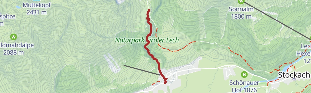
Two-kilometre stroll up the Höhenbachtal from Holzgau to a traditional mountain hut at 1,280 m serving food and drink.
- 2.0 km
- Distance
- 124 m
- Ascent
- 39 min
- Duration
- 17
- Check-ins
- Cafe Uta 1 237 m
- Lechtal Tourismus 1 099 m
- Wehr Wasserkraftkwer Holzgau 1 159 m
Kemptner Hütte - Mädelejoch - Gumpensattel - Panoramaweg - Bernhardseckhütte
A crossing high above the Lechtal from one refuge to the next, over the Oberes Mädelejoch and the Gumpensattel with the Mutte on the way.
- 8.5 km
- Distance
- 828 m
- Ascent
- 5 h 15 min
- Duration
- 44
- Check-ins
Oberstdorf/Spielmannsau - Kemptner Hütte - Holzgau
A long crossing of the Allgäu Alps over the Mädelejoch, from the Bavarian side down past the Roßgumpenalpen into the Lech valley at Holzgau.
- 13.6 km
- Distance
- 1 353 m
- Ascent
- 8 h 6 min
- Duration
- 89
- Check-ins
Rundweg Holzgau-Schönau
Level family loop from Holzgau out to the hamlet of Schönau, passing the Dorf-Alm and the Schönauer Hof.
- 4.5 km
- Distance
- 17 m
- Ascent
- 1 h 6 min
- Duration
- 15
- Check-ins
Holzgau - Wasserfall-Rundweg
Circuit along the Höhenbachtal to the Roßgumpen alms, with the Simmswasserfall on the way up and Cafe Uta on the way back.
- 8.9 km
- Distance
- 323 m
- Ascent
- 2 h 53 min
- Duration
- 37
- Check-ins
- Untere Roßgumpenalp 1 350 m
- Cafe Uta 1 237 m
- Dorf-Alm 1 098 m
- Lechtal Tourismus 1 099 m
- Vordere Schochenalpe 1 344 m
- Wehr Wasserkraftkwer Holzgau 1 159 m
Holzgau - Kemptner Hütte
A climb of 928 m from Holzgau to the Kemptner Hütte, the refuge run by the Kempten section below the Mädelejoch.
- 7.4 km
- Distance
- 928 m
- Ascent
- 4 h 4 min
- Duration
- 62
- Check-ins
Holzgau - Hängebrückenrunde
Village loop that crosses the Holzgau suspension bridge, one of Austria's longest pedestrian spans, hanging high above the Höhenbach gorge — brief thrills on an otherwise easy round.
- 4.9 km
- Distance
- 152 m
- Ascent
- 1 h 32 min
- Duration
- 13
- Check-ins
Holzgau - Roßgumpenalm - Schochenalpsee
From Holzgau up past the Untere Roßgumpenalp to the Schochenalpsee, a mountain lake tucked high above the valley — a steady climb of roughly 850 m.
- 8.2 km
- Distance
- 852 m
- Ascent
- 3 h 37 min
- Duration
- 30
- Check-ins
- Untere Roßgumpenalp 1 350 m
- Cafe Uta 1 237 m
- Lechtal Tourismus 1 099 m
- Vordere Schochenalpe 1 344 m
- Wehr Wasserkraftkwer Holzgau 1 159 m
- Schochenalpsee 1 960 m
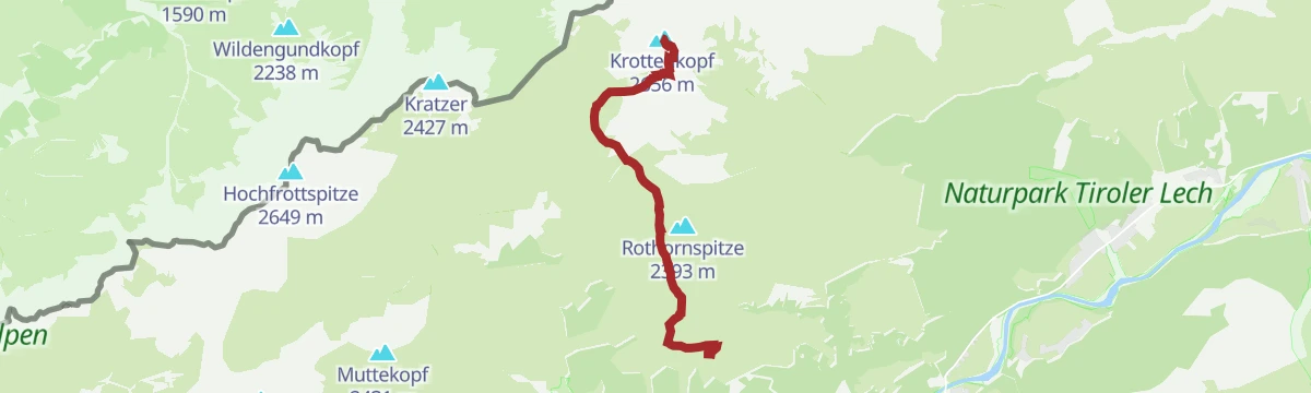
Bergstation Jöchelspitzbahn - Krottenkopf
A climb of 1,129 m from the lift's top station over the Rothornjoch and the Krottenkopfscharte to the highest summit of the Allgäuer Alpen.
- 6.6 km
- Distance
- 1 129 m
- Ascent
- 4 h 45 min
- Duration
- 53
- Check-ins
Holzgauer Hängebrückenrunde
An easy round from the village centre that crosses the roughly 200-m-long suspension bridge high above the Höhenbach, returning past the Restaurant Winklerhof.
- 5.0 km
- Distance
- 156 m
- Ascent
- 1 h 33 min
- Duration
- 13
- Check-ins
Lechweg - Klassische Variante - Etappe 4 - Holzgau bis Elbigenalp
Stage 4 of the classic Lechweg, following the young Lech downstream from Holzgau to Elbigenalp past the Lechtaler Hexenkessel along the way.
- 13.2 km
- Distance
- 436 m
- Ascent
- 4 h 13 min
- Duration
- 21
- Check-ins
- Cafe Uta 1 237 m
- Lechtal Tourismus 1 099 m
- Lechtaler Hexenkessel 1 210 m
- Wehr Wasserkraftkwer Holzgau 1 159 m
- Schuler's Schopf 1 052 m
Holzgau - Grosser Krottenkopf
An ascent of 1,549 m from Holzgau by the Roßgumpen alms and the Krottenkopfscharte to the highest peak in the Allgäuer Alpen.
- 8.9 km
- Distance
- 1 549 m
- Ascent
- 5 h 52 min
- Duration
- 52
- Check-ins
Holzgauer Entdeckungstour: Schiggen & Gföll Runde
Easy loop on quiet field paths around the outskirts of Holzgau, linking the Dorf-Alm with the Restaurant Winklerhof.
- 4.8 km
- Distance
- 149 m
- Ascent
- 1 h 29 min
- Duration
- 13
- Check-ins
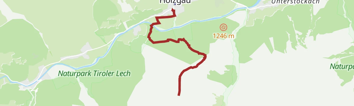
Holzgau - Über´s Windegg zur Sonnalm
A short, steep haul gaining over 800 m to a sunny alm terrace above the Lechtal, approached across the Windegg shoulder.
- 3.8 km
- Distance
- 814 m
- Ascent
- 3 h 16 min
- Duration
- 18
- Check-ins
Heilbronner Höhenweg - Hermann v. Barth Hütte - Kemptner Hütte
Alpine hut link from the Hermann-von-Barth-Hütte across three large cirques and the Krottenkopfscharte to the Kemptner Hütte; carry water and sun protection on hot days.
- 8.3 km
- Distance
- 940 m
- Ascent
- 6 h 14 min
- Duration
- 42
- Check-ins
Holzgauer Entdeckungstouren - Dorf Runde
Nearly flat village round through Holzgau, whose houses are known for their painted façades, passing the Dorf-Alm on the way.
- 4.7 km
- Distance
- 31 m
- Ascent
- 1 h 11 min
- Duration
- 13
- Check-ins
Holzgau - Bach - Madau
A gentle valley stage on the E5 variant, wandering from Holzgau through Bach and into the Madautal to the Berggasthaus Hermine.
- 11.8 km
- Distance
- 262 m
- Ascent
- 3 h 14 min
- Duration
- 14
- Check-ins
Holzgau - Jöchelspitze
Full-length ascent of the Jöchlspitze from the valley, taking in the Lachenkopf and a stop at the Sonnalm — flower-rich slopes high above the Lechtal.
- 11.4 km
- Distance
- 1 129 m
- Ascent
- 6 h 58 min
- Duration
- 39
- Check-ins
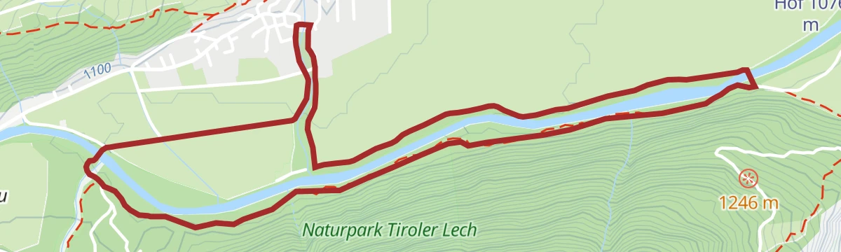
Holzgau - Höhenbachrunde
A very short riverside turn along the Lech by the village, flat throughout and also kept open as a winter stroll.
- 1.4 km
- Distance
- 0 m
- Ascent
- 19 min
- Duration
- 12
- Check-ins
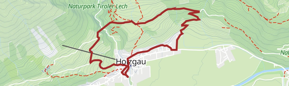
Holzgau - Rundweg Scheibe
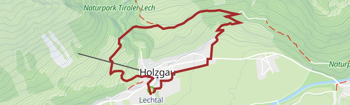
Half-day loop above Holzgau onto the Scheibe terrace, mixing forest tracks and open slopes with steady views up and down the valley.
- 9.0 km
- Distance
- 416 m
- Ascent
- 3 h 10 min
- Duration
- 12
- Check-ins
Bernhardseck Hütte - Hermann v. Barth Hütte
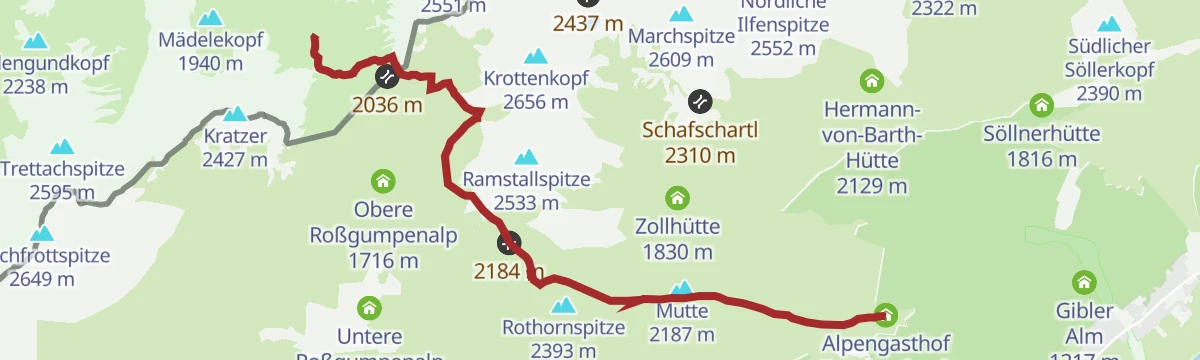
Scenic hut traverse from the Alpengasthof Bernhardseck over the Mutte, the Rothornjoch and the Krottenkopfscharte to the Hermann-von-Barth-Hütte.
- 12.3 km
- Distance
- 919 m
- Ascent
- 5 h 25 min
- Duration
- 33
- Check-ins
Holzgau - Jochwegrunde
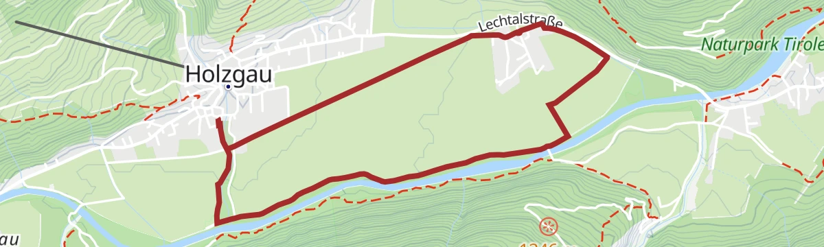
Level loop beside the free-flowing Lech and through flowering hay meadows — an unhurried round on the valley floor with no real climbing.
- 5.2 km
- Distance
- 10 m
- Ascent
- 1 h 15 min
- Duration
- 12
- Check-ins
Lechweg Abschnitt: Holzgau - Bach
An airier section of the Lechweg between Holzgau and Bach, on narrow mountain path that asks for sure feet and a head for heights.
- 8.3 km
- Distance
- 400 m
- Ascent
- 3 h 1 min
- Duration
- 9
- Check-ins
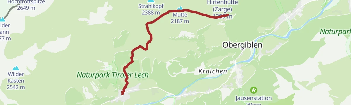
Holzgau-Windegg-Jöchelspitze-über Panoramaweg zur Bernhardseck Hütte
High traverse over the Jöchlspitze and Mutte, then along the ridge path to the Alpengasthof Bernhardseck and the Rothornjoch — a long day with big views.
- 7.9 km
- Distance
- 1 212 m
- Ascent
- 5 h 38 min
- Duration
- 31
- Check-ins
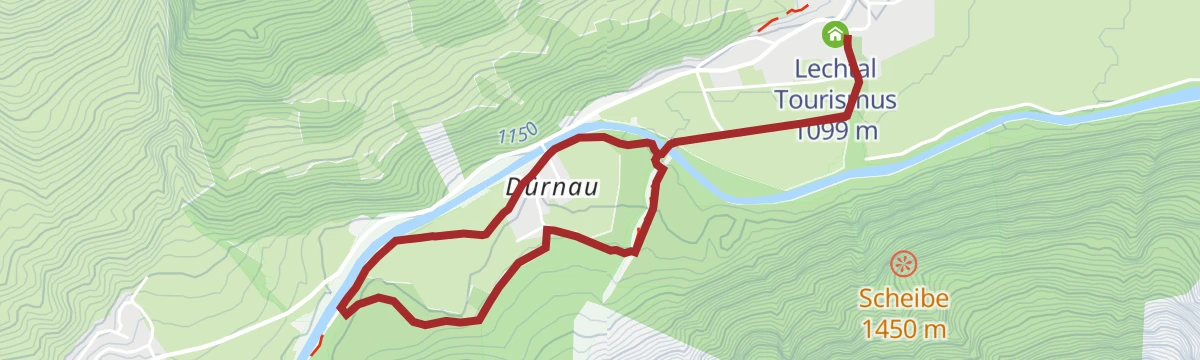
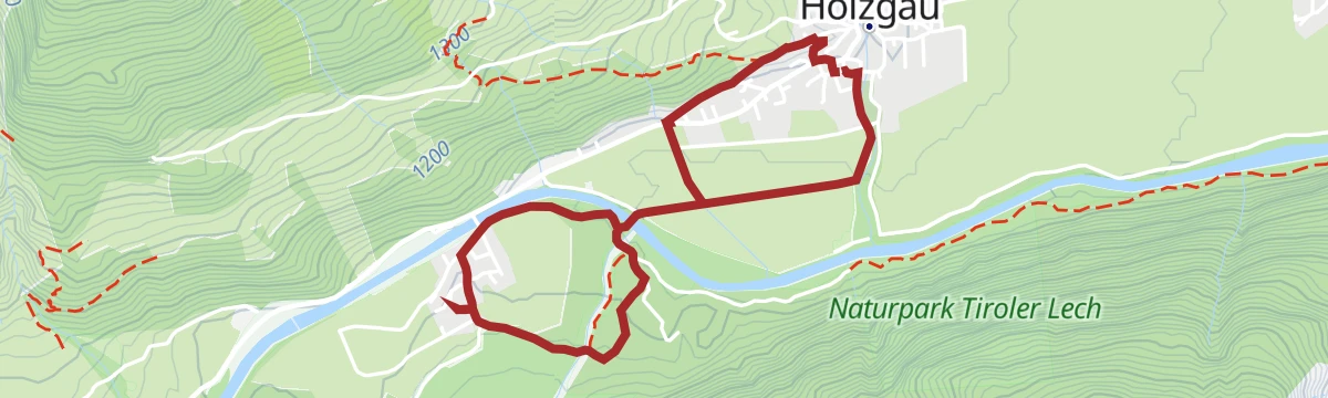
Holzgau - Rundweg Dürnau
Flat circuit across the Dürnau meadows on the valley floor, an easy leg-stretcher from the village with the Lechtal peaks all around.
- 4.9 km
- Distance
- 15 m
- Ascent
- 1 h 12 min
- Duration
- 12
- Check-ins
Holzgau über Hager Höhenweg und Ebene nach Steeg
From Holzgau along the Hager high path and across the Ebene meadows to Steeg, skirting the mouth of the Höhenbachtal gorge with its Simms waterfall.
- 7.7 km
- Distance
- 374 m
- Ascent
- 2 h 44 min
- Duration
- 8
- Check-ins
Lechweg - Gemütliche Variante - Etappe 4 - Steeg bis Bach
Long valley stage of the Lechweg's gentler variant, tracing the river from Steeg through Holzgau to Bach and passing the Holzgau hydropower weir and the Lechtaler Hexenkessel.
- 15.4 km
- Distance
- 459 m
- Ascent
- 4 h 47 min
- Duration
- 24
- Check-ins
- Cafe Uta 1 237 m
- Lechtal Tourismus 1 099 m
- Lechtaler Hexenkessel 1 210 m
- Tourismusinformation 1 114 m
- Wehr Wasserkraftkwer Holzgau 1 159 m
Holzgau - Rundweg Langerfeld
Short, level round toward the Dürnau side of the valley, groomed in winter as an easy walking loop from the village.
- 2.5 km
- Distance
- 26 m
- Ascent
- 38 min
- Duration
- 12
- Check-ins
Steeg über Hager Höhenweg nach Holzgau
Sunny balcony route from Steeg along the hillside to Holzgau, running above the valley floor on the south-facing slope with steady views of the Lechtal Alps.
- 7.2 km
- Distance
- 307 m
- Ascent
- 2 h 27 min
- Duration
- 3
- Check-ins
Holzgau - Peischelspitze
Relentlessly steep route to the Peischelspitze, packing nearly 1,200 m of ascent into five kilometres — a conditioning test with a broad view over the Lechtaler Alps.
- 5.3 km
- Distance
- 1 189 m
- Ascent
- 4 h 20 min
- Duration
- 12
- Check-ins
Holzgauer Entdeckungstour: Dürnau Runde
Gentle valley-floor loop out toward Dürnau and back, one of Holzgau's marked discovery walks with barely 20 m of climbing.
- 3.8 km
- Distance
- 22 m
- Ascent
- 56 min
- Duration
- 12
- Check-ins
Lechweg - Klassische Variante - Etappe 3 - Lechleiten bis Holzgau
Classic Lechweg stage that follows the balcony-like Panoramaweg from Lechleiten high above the river before dropping to Steeg and continuing along the valley floor to Holzgau.
- 16.9 km
- Distance
- 238 m
- Ascent
- 4 h 57 min
- Duration
- 8
- Check-ins
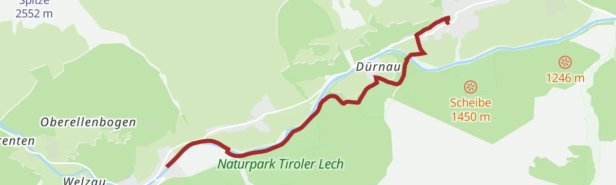
Lechweg Abschnitt: Steeg - Holzgau
A short, level Lechweg leg following the young river downstream from Steeg to Holzgau, village to village; shaded stretches make it workable even on hot summer days.
- 5.2 km
- Distance
- 29 m
- Ascent
- 1 h 18 min
- Duration
- 8
- Check-ins
Lechwegschleife "Durch Wald und Wiesen"
Long Lechweg side loop around Steeg that alternates between shaded forest and open hay meadows, a quiet half-day round away from the main riverside route.
- 15.8 km
- Distance
- 466 m
- Ascent
- 4 h 51 min
- Duration
- 3
- Check-ins
Holzgau - Kleine Hängebrückenrunde
Compact family loop to the Holzgau suspension bridge, crossing high above the Höhenbach before circling straight back to the village.
- 2.6 km
- Distance
- 140 m
- Ascent
- 59 min
- Duration
- 5
- Check-ins
Steeg auf den Muttekopf
Committed ascent from Steeg past the Wildmahdalpe onto a high grass summit of the Lechtal Alps, gaining some 1,300 m on mostly quiet alm and ridge paths.
- 6.8 km
- Distance
- 1 302 m
- Ascent
- 4 h 51 min
- Duration
- 3
- Check-ins
Vitalweg Alternativroute ohne Hängebrücke
The Vitalweg circuit in a version that skips the suspension bridge — the same forest paths and gentle climbing, without the airy crossing.
- 5.4 km
- Distance
- 329 m
- Ascent
- 2 h 16 min
- Duration
- 5
- Check-ins
Von Holzgau auf den Muttekopf
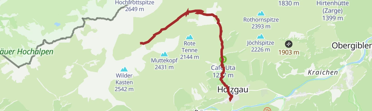
Steep, lonely climb to the 2,431 m summit, gaining some 1,300 m from the valley floor — a fitness route rewarded with a wide panorama over the Lechtal.
- 4.7 km
- Distance
- 1 313 m
- Ascent
- 4 h 38 min
- Duration
Vitalweg Holzgau
A themed exercise loop above Holzgau with eleven activity stations and information boards, climbing gently through forest and meadow.
- 3.8 km
- Distance
- 208 m
- Ascent
- 1 h 29 min
- Duration
- 5
- Check-ins
No routes of this kind in Holzgau yet.
The region's own picks

Featured route
Holzgau - Rossgumpenalm
Family walk from Holzgau to the Untere Roßgumpenalp, going by the Simmswasserfall and the Kleittersteig.
Planning a trip to Holzgau?
Everything else Tyrol has, in one place


Take Holzgau with you into the mountains
Every route on this page with 3D terrain, GPX navigation and offline maps — including the valleys with no signal.
Data sources
- Official website: lechtal.at ↗
- Routes and highlights: Lechtal Tourismus, Tannheimer Tal
- Published as open data by the tourist boards named above.
- Region summary generated from the board's own material.
