



















Curated by Ybbstaler Alpen
Hollenstein an der Ybbs
The upper Ybbstal where the valley narrows between limestone ridges, hamlets from 446 m by the river to 715 m on the slopes, in the Eisenwurzen nature park.
- 2Highlights
- 52Routes
- Featured summit · Hochkogel
Highlights
8 from neighbouring places
Naturpark NÖ Eisenwurzen
A nature park in the Eisenwurzen around Hollenstein an der Ybbs, with gorges, karst springs and walks through old iron-working country.
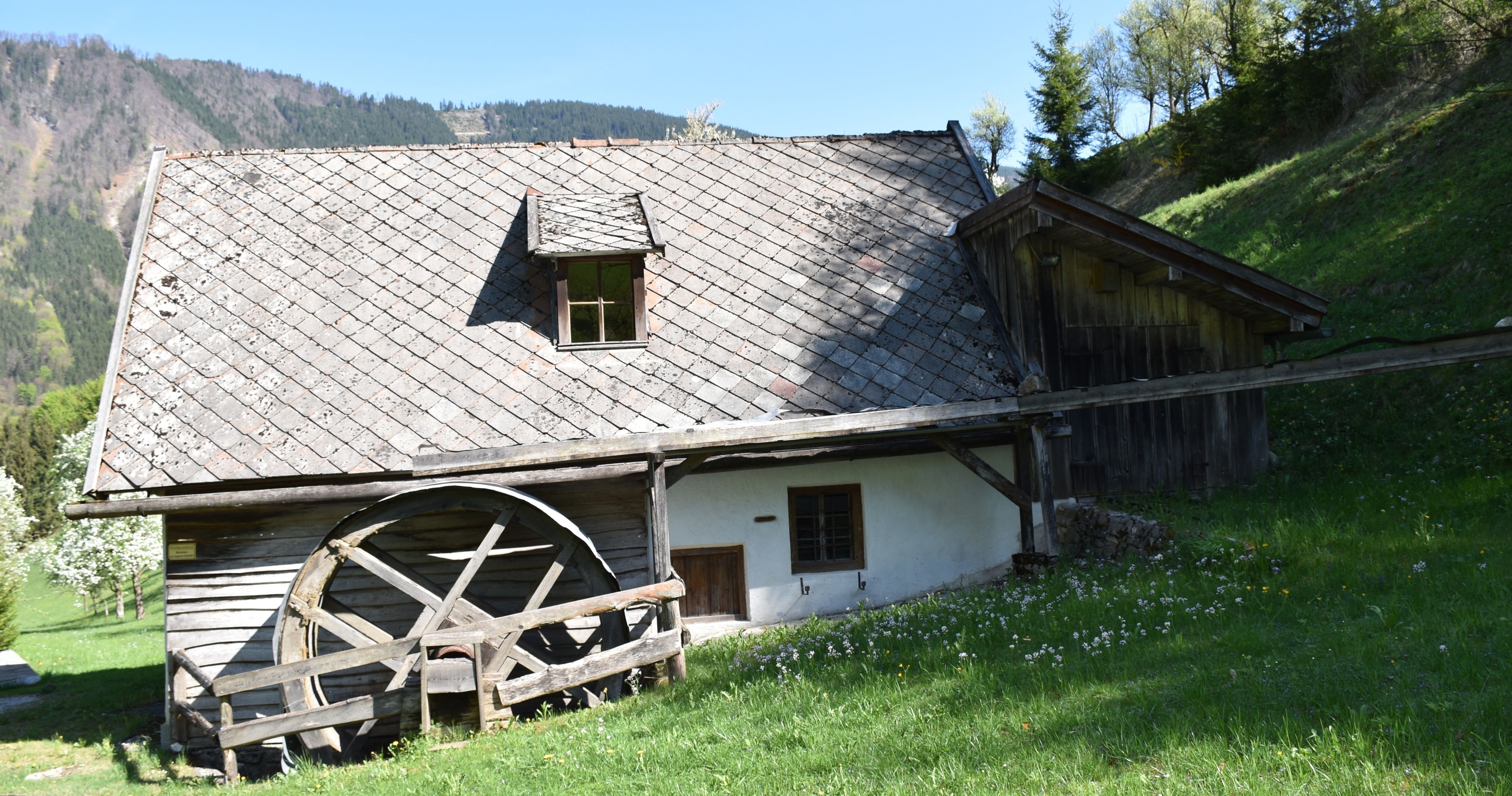
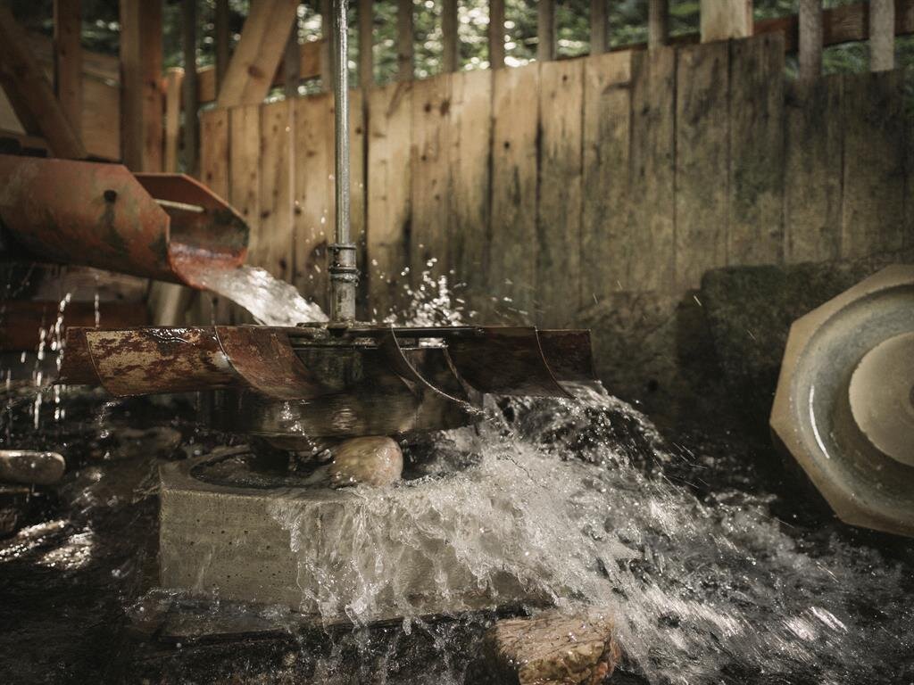
Gugermühle
A former mill at Hollenstein an der Ybbs, kept as a reminder of the water-powered trades of the Ybbs valley.
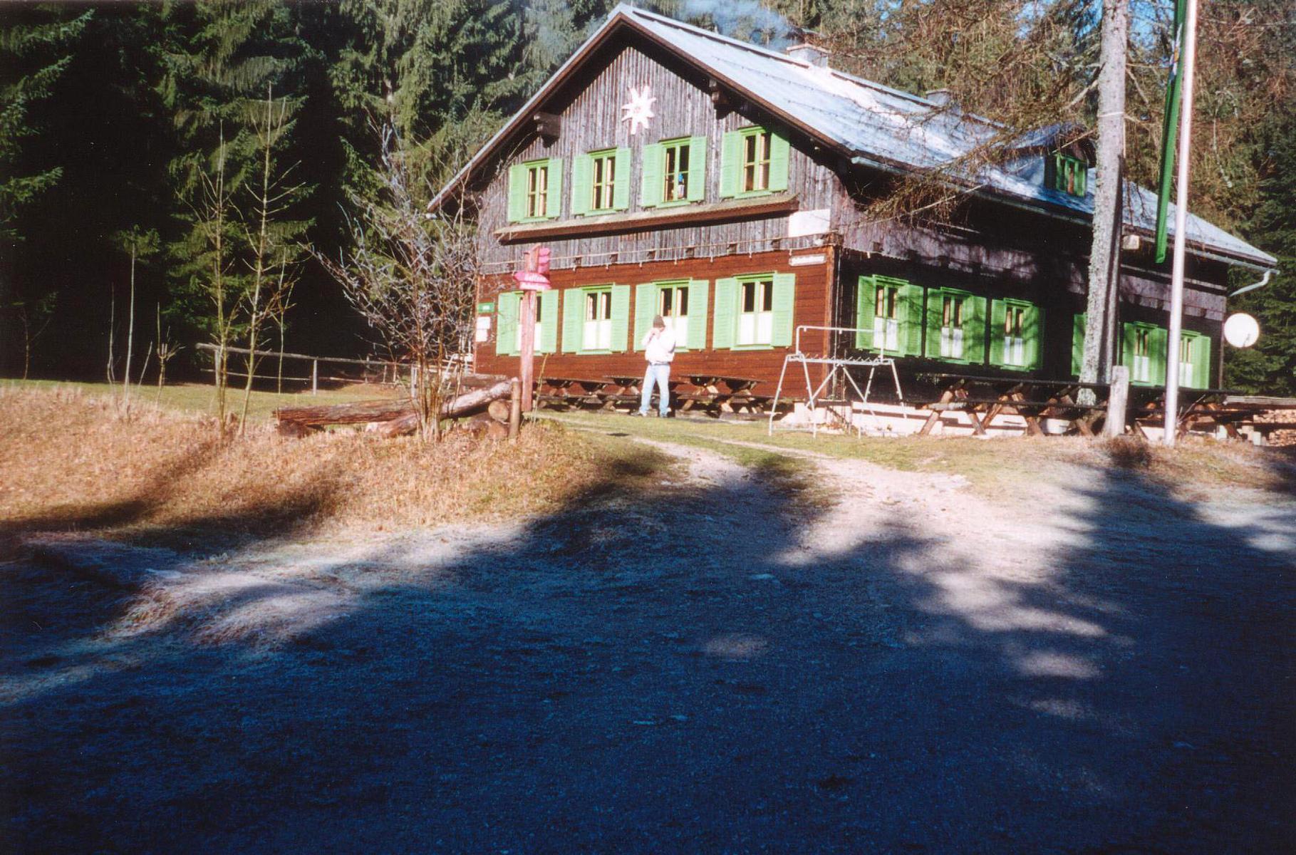
Amstettner Hütte
9.7 km away, in Gaflenz
A hut above Gaflenz in the Eisenwurzen hills, a walking destination from the village.
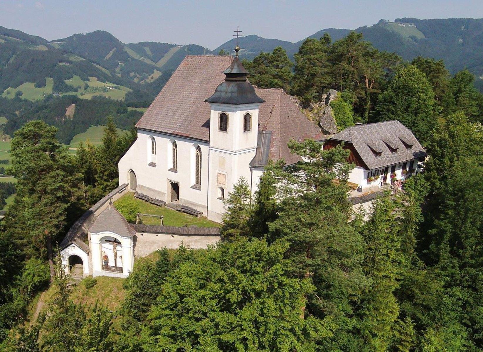
Sebalduskirche
10.9 km away, in Gaflenz
The Sebaldus church at Gaflenz, on the Sebaldusweg pilgrim path, with a view into the nave from the rear porch.
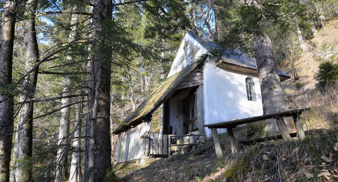
Jörgl-Kapelle
11.5 km away, in St. Georgen am Reith
A small chapel at St. Georgen am Reith in the upper Ybbs valley, in the hills of the Ybbstal Alps.
JoSchi Almhütte Hochkar
13.3 km away, in Göstling an der Ybbs
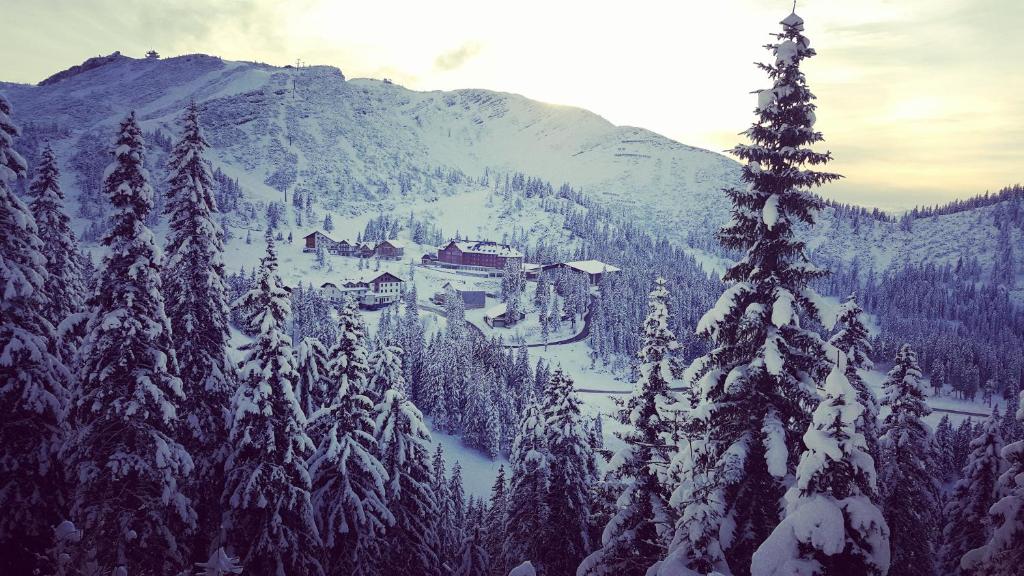
An alpine chalet on the Hochkar above Göstling an der Ybbs, used as group and family accommodation for the ski and walking area.
Hochkar-Kapelle
13.6 km away, in Göstling an der Ybbs
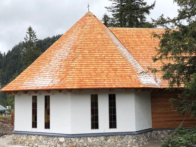
A small chapel on the Hochkar above Göstling an der Ybbs, standing beside the paths on the summit plateau.
ÖTK Schutzhaus Hochkar
13.7 km away, in Göstling an der Ybbs
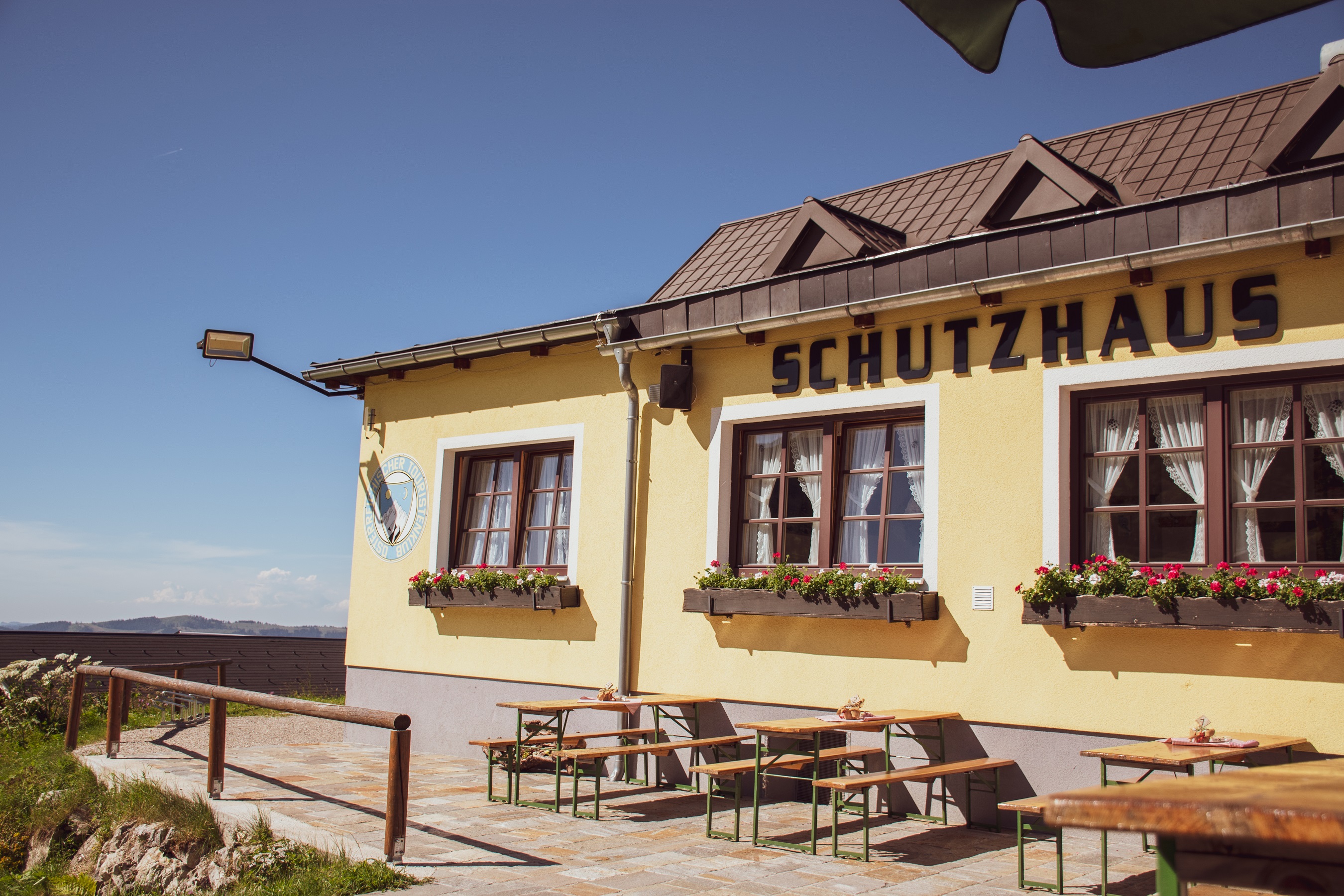
A hut of the Austrian Tourist Club high on the Hochkar above Göstling an der Ybbs, serving skiers in winter and walkers in summer.
Steinkugelmühle
14.4 km away, in Landl
A restored mill near Gams bei Hieflau in the Styrian Eisenwurzen, where stone balls were once ground.
Nothing of this kind in Hollenstein an der Ybbs.
Routes
50 routes, an even mix of activities · see the rest on ybbstaler-alpen.at ↗
Forellenteich
A 2.7 km walk at Hollenstein an der Ybbs to the trout pond, passing the Gasthaus Kloaboch and the Gasthof Jagersberger.
- 2.7 km
- Distance
- 93 m
- Ascent
- 52 min
- Duration
- 3
- Check-ins
Von Hütte zu Hütte über den Königsberg
A 7.4 km hut-to-hut walk over the Königsberg and the Planstein, 400 m of ascent linking the Siebenhütte, Kitzhütte and Vierhütten.
- 7.4 km
- Distance
- 400 m
- Ascent
- 2 h 51 min
- Duration
- 8
- Check-ins
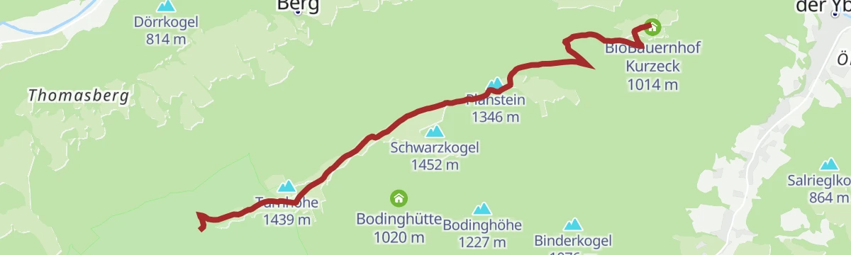
Leitwanderweg "Natur.Genuss.Berg" im Wanderdorf Hollenstein/Ybbs
Hollenstein's main waymarked round: 16.9 km and 974 m of ascent over the Turnhöhe and the Planstein, past the Siebenhütte, Kitzhütte and Vierhütten.
- 16.9 km
- Distance
- 974 m
- Ascent
- 6 h 50 min
- Duration
- 12
- Check-ins
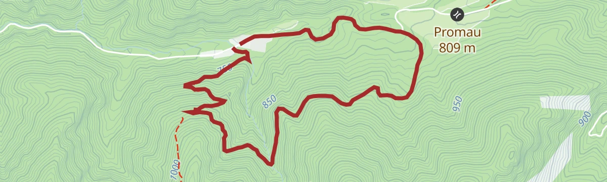
Kleine Promaurunde
A 4.1 km easy loop around Promau at Hollenstein an der Ybbs, with 73 m of climbing.
- 4.1 km
- Distance
- 73 m
- Ascent
- 26 min
- Duration
Panorama-Strecke KURZ
The short version of the panorama route above Hollenstein an der Ybbs, gaining about 360 m to reach open viewpoints.
- 10.1 km
- Distance
- 363 m
- Ascent
- 1 h 14 min
- Duration
- 3
- Check-ins
Almen E-Bike Tour zur Kitzhütte und Siebenhütten-Alm
An e-bike route up the Königsberg from the Gasthof Jagersberger at the valley station, working through forest to the alm huts near 1,300 m.
- 39.1 km
- Distance
- 112 m
- Ascent
- 3 h 34 min
- Duration
- 11
- Check-ins
Kleines Ybbstal ganz groß
A route through the side valleys above Hollenstein an der Ybbs, climbing some 750 m out of the valley floor.
- 56.4 km
- Distance
- 752 m
- Ascent
- 5 h 43 min
- Duration
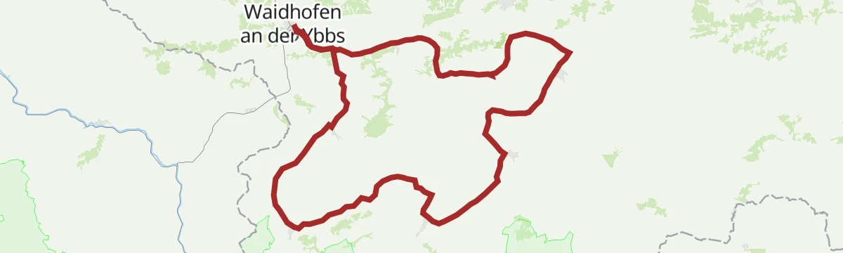
Von Waidhofen auf das Hochkar
A demanding link from the Ybbs valley up to the Hochkar, the highest ski mountain in the Mostviertel, with more than 900 m of climbing.
- 106.8 km
- Distance
- 913 m
- Ascent
- 10 h 20 min
- Duration
- 18
- Check-ins
1000 Schritte-Weg
A level 2.5 km path at Hollenstein an der Ybbs, as short and gentle as its name suggests.
- 2.5 km
- Distance
- 17 m
- Ascent
- 38 min
- Duration
Gamsstein-Tour
A 14 km tour up the Gamsstein above Hollenstein an der Ybbs, graded medium.
- 14.0 km
- Distance
- 60 m
- Ascent
- 3 h 26 min
- Duration
- 3
- Check-ins
Haute Route 11. Etappe: Göstling
A 21.9 km stage with 977 m of ascent over the Turnhöhe and the Planstein, by way of the Siebenhütte and the Vierhütten to Göstling.
- 21.9 km
- Distance
- 977 m
- Ascent
- 7 h 33 min
- Duration
- 10
- Check-ins
Zubringer MTB-Strecken Hollenstein/Ybbs
A link route on the Ybbs valley floor at Hollenstein, connecting the village with the start of the local mountain-bike network.
- 9.5 km
- Distance
- 333 m
- Ascent
- 1 h 10 min
- Duration
Sonnbrand-Almtour Hollenstein/Ybbs
A route from Hollenstein up to the Sonnbrand alms, gentle on asphalt at first and long thereafter.
- 37.8 km
- Distance
- 127 m
- Ascent
- 3 h 28 min
- Duration
- 9
- Check-ins
Lückenschluss Ennsradweg
A link joining the Enns cycle route to the Ybbstal route, with the Eisenwurzen option beyond.
- 12.4 km
- Distance
- 291 m
- Ascent
- 1 h 21 min
- Duration
Am Holzweg
A ride from Göstling up to Lassing and the Mendlingpass, through the old timber-floating country.
- 43.7 km
- Distance
- 456 m
- Ascent
- 4 h 18 min
- Duration
 Mendlingpass 680 m
- Mendlingpass 686 m
 Herrenhaus Fischteich 637 m
- Herrenhaus Fischteich 638 m
 Jausenstation Herrenhaus 643 m
- Promau 809 m
Bachwanderweg
A 2.6 km streamside walk at Hollenstein an der Ybbs by way of Promau, with 63 m of ascent.
- 2.6 km
- Distance
- 63 m
- Ascent
- 46 min
- Duration
Königsbergrunde
A 14.4 km circuit from Hollenstein an der Ybbs over the Eisgrabensattel, with the Kitzhütte on the way.
- 14.4 km
- Distance
- 64 m
- Ascent
- 3 h 31 min
- Duration
- 2
- Check-ins
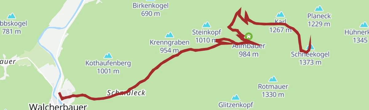
Bauernboden
An 18 km round from Hollenstein an der Ybbs with 939 m of ascent, climbing the Schneekogel and passing the Allmbauer.
- 18.0 km
- Distance
- 939 m
- Ascent
- 6 h 47 min
- Duration
- 2
- Check-ins
Kitzhüttenalm
A long 26.2 km day from Hollenstein an der Ybbs with 840 m of ascent, crossing the Eisgrabensattel to the Kitzhütte and back past the Gasthaus Kloaboch.
- 26.2 km
- Distance
- 840 m
- Ascent
- 3 h 7 min
- Duration
- 5
- Check-ins
Klassische Saurüsselrunde
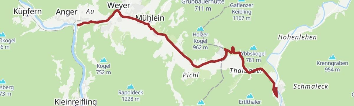
A road round from Waidhofen upstream along the Ybbs, the first hour almost level in the valley.
- 49.5 km
- Distance
- 390 m
- Ascent
- 4 h 45 min
- Duration
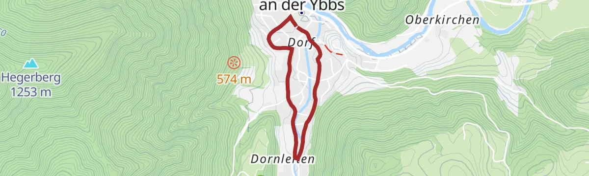
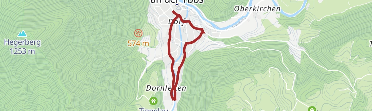
Dorfrundweg "Natur.Genuss.Berg" im Wanderdorf Hollenstein/Ybbs
A 2.9 km village circuit at Hollenstein an der Ybbs, flat and waymarked as part of the Natur.Genuss.Berg network.
- 2.9 km
- Distance
- 18 m
- Ascent
- 43 min
- Duration
Voralpentour
A 13.1 km foothill round from Hollenstein an der Ybbs over the Tanzboden and the Stumpfmauer, with 410 m of ascent.
- 13.1 km
- Distance
- 410 m
- Ascent
- 4 h 4 min
- Duration
- 1
- Check-ins
Haute Route 12. Etappe: Hollenstein
A 21.8 km Haute Route stage through Hollenstein an der Ybbs, 577 m of ascent over the Tanzboden and Stumpfmauer, past the Hinteralm and the Halsmoarhütte.
- 21.8 km
- Distance
- 577 m
- Ascent
- 6 h 31 min
- Duration
- 1
- Check-ins
Gamssteintour
A climb from Hollenstein through the Sandgraben to the Promau rise, on to the Scheibenberg and Moar alms.
- 61.7 km
- Distance
- 780 m
- Ascent
- 6 h 12 min
- Duration
Naturpark NÖ Eisenwurzen
A ride from Hollenstein climbing ten kilometres to Promau, into the Eisenwurzen nature park.
- 44.0 km
- Distance
- 475 m
- Ascent
- 4 h 21 min
- Duration
- Mendlingpass 680 m
- Mendlingpass 686 m
- Herrenhaus Fischteich 637 m
- Herrenhaus Fischteich 638 m
- Jausenstation Herrenhaus 643 m
- Promau 809 m
Eisgrabensattelweg
A 4 km climb from Promau at Hollenstein an der Ybbs up to the Eisgrabensattel, with 196 m of ascent.
- 4.0 km
- Distance
- 196 m
- Ascent
- 1 h 27 min
- Duration
Frenzsattel
An 8.9 km walk from Hollenstein an der Ybbs to the saddle, 463 m of ascent past the Dürreck and Frenzberghütte hunting lodges.
- 8.9 km
- Distance
- 463 m
- Ascent
- 3 h 21 min
- Duration
4 Sebaldustour Maria Seesal-Runde
A longer walking circuit in the hills around Gaflenz, marked as part of the village's numbered series of loop routes in Oberösterreich.
- 70.5 km
- Distance
- 1 034 m
- Ascent
- 19 h 4 min
- Duration
Sonnbrand-Almtour Göstling/Ybbs
A climb from Göstling toward Lassing, leaving the road for the alm tracks over the Promau saddle.
- 34.4 km
- Distance
- 799 m
- Ascent
- 3 h 48 min
- Duration
Promaurunde
A long road route from Waidhofen up the Ybbs valley and through the gorge country beyond Hollenstein.
- 84.2 km
- Distance
- 972 m
- Ascent
- 8 h 23 min
- Duration
 Königsstein 492 m
- Mendlingpass 680 m
- Mendlingpass 686 m
- Herrenhaus Fischteich 637 m
- Herrenhaus Fischteich 638 m
- Jausenstation Herrenhaus 643 m
- +7
Höhenrückenweg
A 4.1 km ridge walk over the Schaueck above Promau at Hollenstein an der Ybbs, with 155 m of ascent.
- 4.1 km
- Distance
- 155 m
- Ascent
- 1 h 21 min
- Duration
Gamsstein-Gipfelwanderung
A 13.6 km walk to the summit of the Gamsstein from Hollenstein an der Ybbs, graded medium.
- 13.6 km
- Distance
- 47 m
- Ascent
- 3 h 18 min
- Duration
Etappe 09 Luchs Trail Palfau
Stage nine of the Luchs Trail, a long day of walking that saves the Mendlingtal for its closing stretch.
- 22.6 km
- Distance
- 1 454 m
- Ascent
- 9 h 38 min
- Duration
Tälertour
A 19.4 km valley round at Hollenstein an der Ybbs with 560 m of ascent, passing the Dürreck hunting lodge.
- 19.4 km
- Distance
- 560 m
- Ascent
- 2 h 15 min
- Duration
Saurüsselrunde über Breitenau
A road-bike loop from Waidhofen, running upstream along the Ybbs on gentle gradients before the climb over the ridge and the return.
- 46.7 km
- Distance
- 395 m
- Ascent
- 4 h 31 min
- Duration
Kleine Scheibenbergrunde
A 5 km loop on the lower Scheibenberg at Hollenstein an der Ybbs, with 281 m of ascent.
- 5.0 km
- Distance
- 281 m
- Ascent
- 1 h 59 min
- Duration
Große Scheibenbergrunde
A 7.5 km circuit on the Scheibenberg at Hollenstein an der Ybbs, gaining 505 m, which makes it steep for its length.
- 7.5 km
- Distance
- 505 m
- Ascent
- 3 h 24 min
- Duration
Saurüsselrunde über Gschnaidt und Konradsheim
A longer version of the same round from Waidhofen, taking in Gschnaidt and Konradsheim above the Ybbs.
- 54.8 km
- Distance
- 560 m
- Ascent
- 5 h 23 min
- Duration
Moorweg
A 2.6 km walk from Promau at Hollenstein an der Ybbs to the moor it is named for, with 90 m of ascent.
- 2.6 km
- Distance
- 90 m
- Ascent
- 49 min
- Duration
Hollensteiner Panoramaweg
A 10.3 km round over the Gallenzer Kogel and the Ziegelauer Sattel above Hollenstein an der Ybbs, with 423 m of ascent.
- 10.3 km
- Distance
- 423 m
- Ascent
- 3 h 27 min
- Duration
Täler und Wasser
A round from Lunz through the Ahorn and Sulbach valleys, returning downstream on the Ybbstal path.
- 75.9 km
- Distance
- 738 m
- Ascent
- 7 h 26 min
- Duration
- Mendlingpass 680 m
- Seebachbad 596 m
- Herdengl 741 m
- Mendlingpass 686 m
- Herrenhaus Fischteich 637 m
- Herrenhaus Fischteich 638 m
- +5
Salcher-Unterkirchen
A 5.2 km easy route from Salcher to Unterkirchen at Hollenstein an der Ybbs, with 127 m of ascent.
- 5.2 km
- Distance
- 127 m
- Ascent
- 1 h 32 min
- Duration
Thomasberg-Gugerlug-Raingrub
A 9.1 km round at Hollenstein an der Ybbs linking Thomasberg, Gugerlug and Raingrub, with 239 m of ascent.
- 9.1 km
- Distance
- 239 m
- Ascent
- 2 h 44 min
- Duration
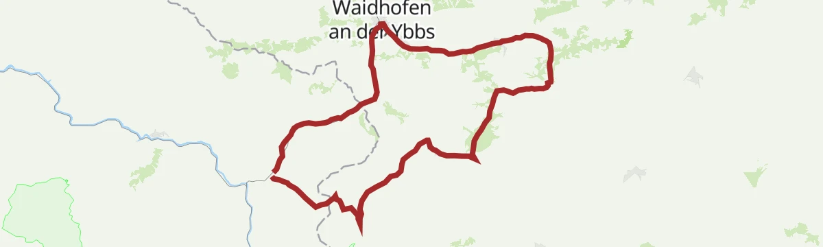
Waidhofner Marathonrunde
A long road circuit from Waidhofen into the Kleine Ybbs valley and on through Ybbsitz.
- 102.3 km
- Distance
- 852 m
- Ascent
- 9 h 53 min
- Duration
Sandgraben
A 2.1 km walk into the Sandgraben at Hollenstein an der Ybbs, with 84 m of ascent.
- 2.1 km
- Distance
- 84 m
- Ascent
- 42 min
- Duration
Ybbstalradweg
One of the Danube-to-Alps links in the Mostviertel, running from the mouth of the Ybbs 107 km up the valley to Lunz am See.
- 108.5 km
- Distance
- 734 m
- Ascent
- 10 h 19 min
- Duration
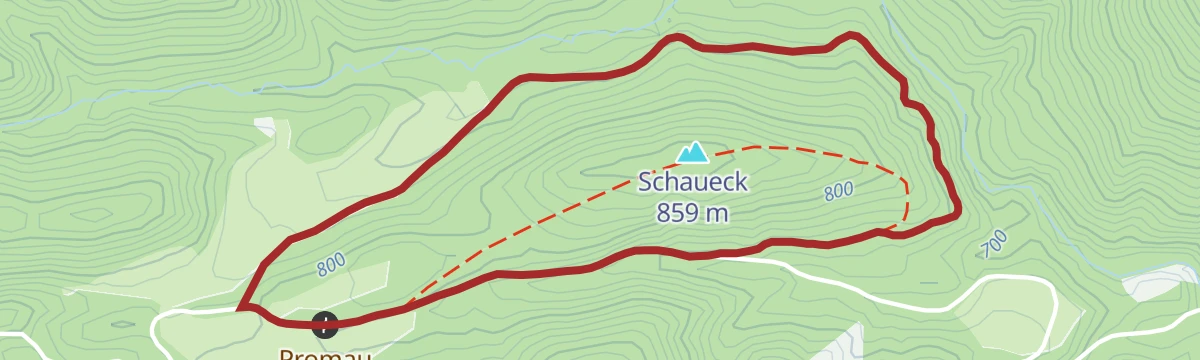
Schaueckrunde (Spitzhiatl Challenge)
A 3.8 km loop over the Schaueck from Promau at Hollenstein an der Ybbs, with 109 m of ascent, counted in the Spitzhiatl challenge.
- 3.8 km
- Distance
- 109 m
- Ascent
- 1 h 9 min
- Duration
Zum heiligen Sebaldus
A ride from Opponitz upstream to Klein-Hollenstein, then a steady five percent pull toward St. Sebald.
- 49.9 km
- Distance
- 398 m
- Ascent
- 4 h 48 min
- Duration
TUT GUT
A 4.9 km waymarked health walk at Hollenstein an der Ybbs with 271 m of ascent, passing the Gasthof Jagersberger.
- 4.9 km
- Distance
- 271 m
- Ascent
- 1 h 55 min
- Duration
Zwei kleine Kircherl
A round from Gaflenz by the Grioßmeierhof and Unterwenden, linking two small country churches.
- 55.2 km
- Distance
- 771 m
- Ascent
- 5 h 37 min
- Duration
No routes of this kind in Hollenstein an der Ybbs yet.
The region's own picks
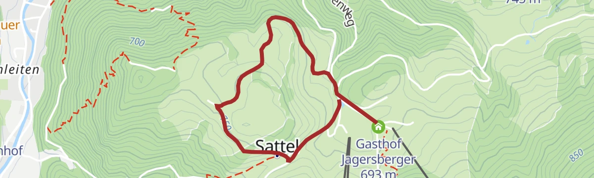
Featured route
Forellenteich
A 2.7 km walk at Hollenstein an der Ybbs to the trout pond, passing the Gasthaus Kloaboch and the Gasthof Jagersberger.
Planning a trip to Hollenstein an der Ybbs?
Everything else Lower Austria has, in one place


Take Hollenstein an der Ybbs with you into the mountains
Every route on this page with 3D terrain, GPX navigation and offline maps — including the valleys with no signal.
Data sources
- Official website: ybbstaler-alpen.at ↗
- Routes and highlights: Ybbstaler Alpen, 360alpenland, Steiermark, Mostviertel
- Published as open data by the tourist boards named above.
- Region summary generated from the board's own material.
