
 Mountain hut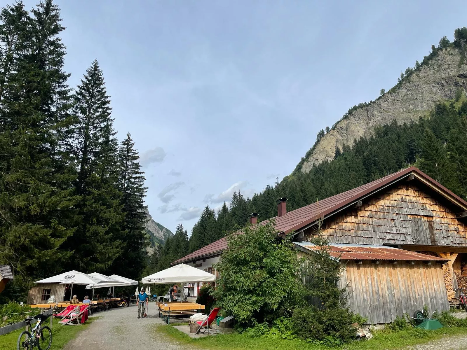
 Viewpoint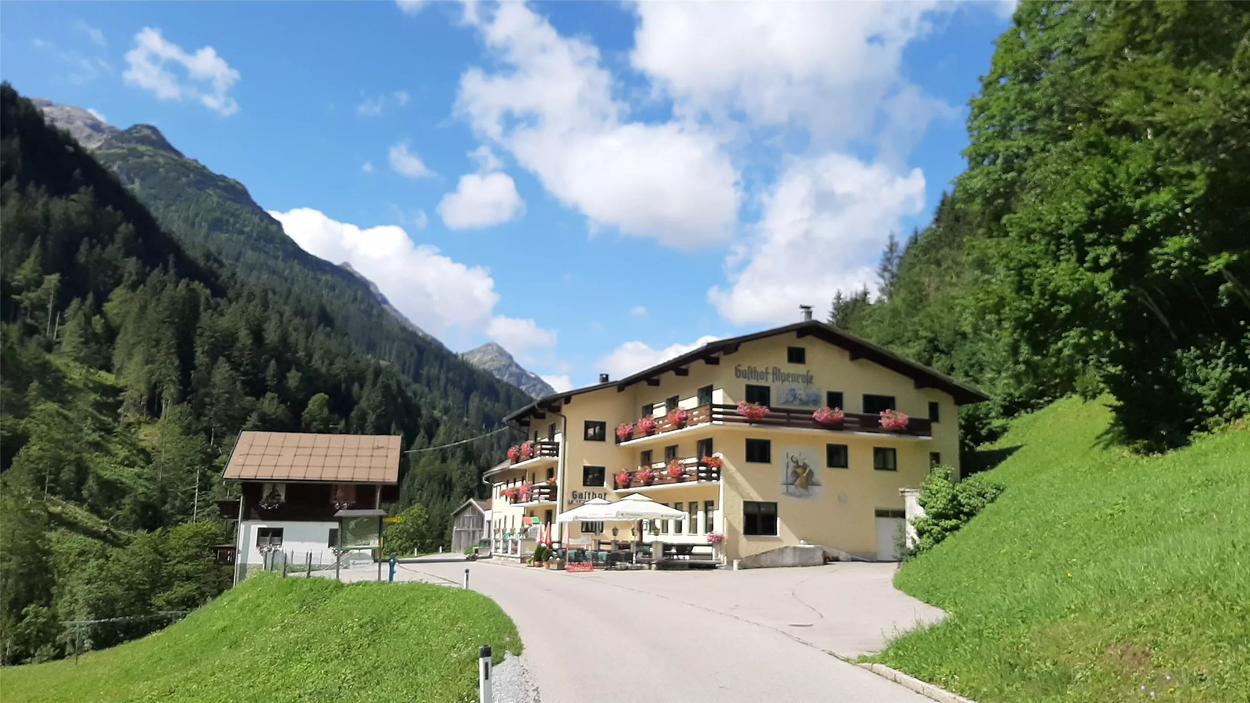
 Historic site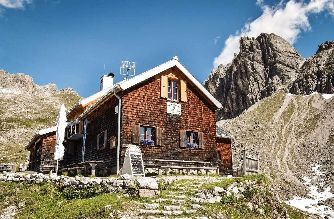
 Via ferrata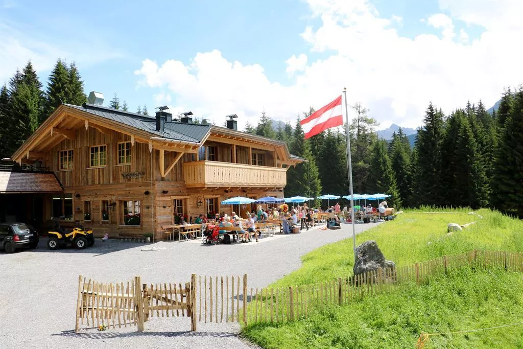








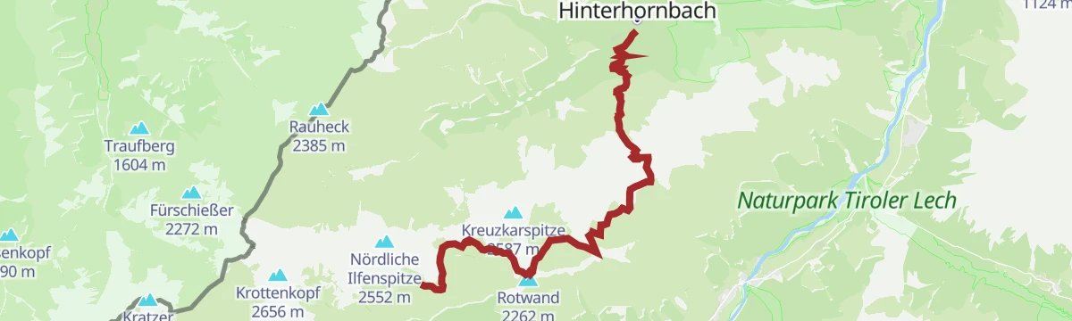

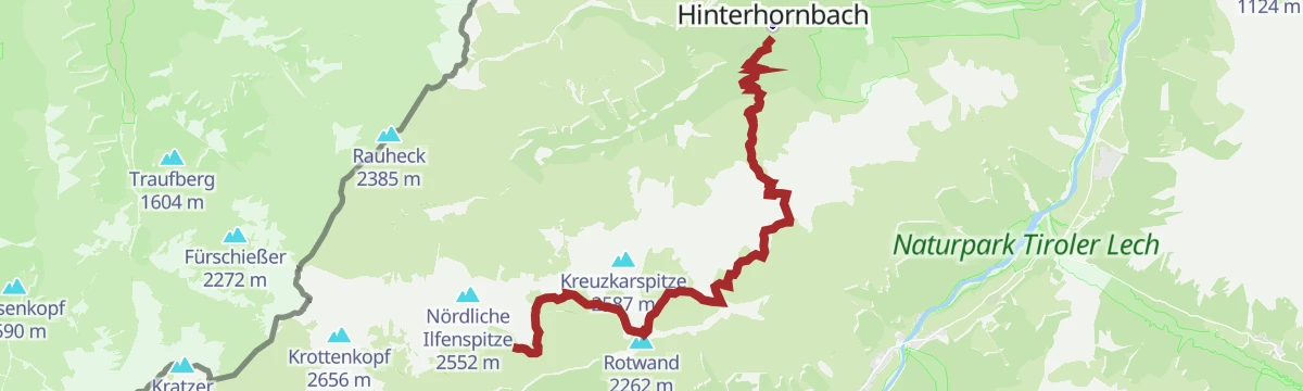


Curated by Lechtal Tourismus
Hinterhornbach
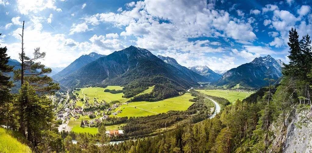
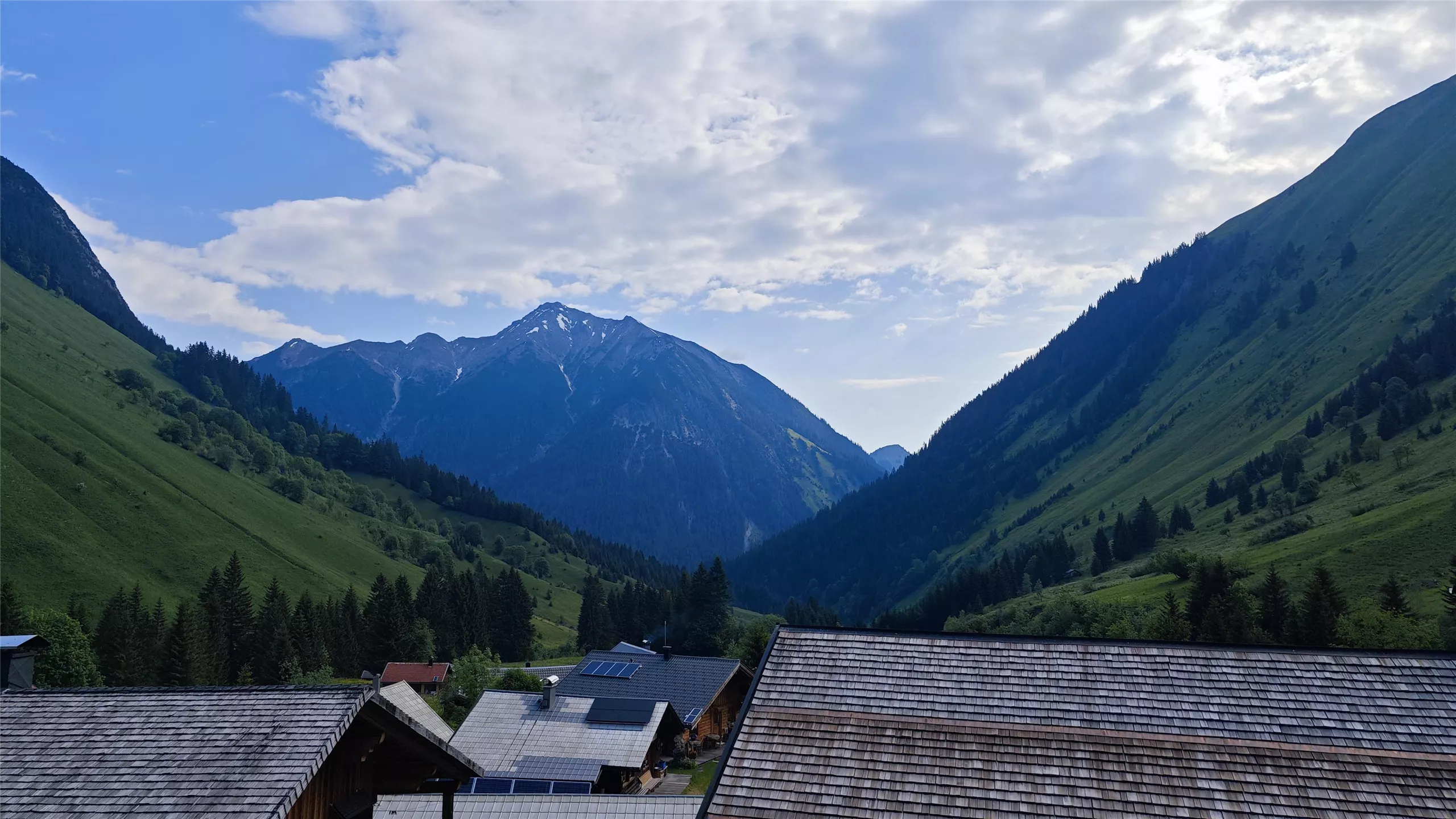
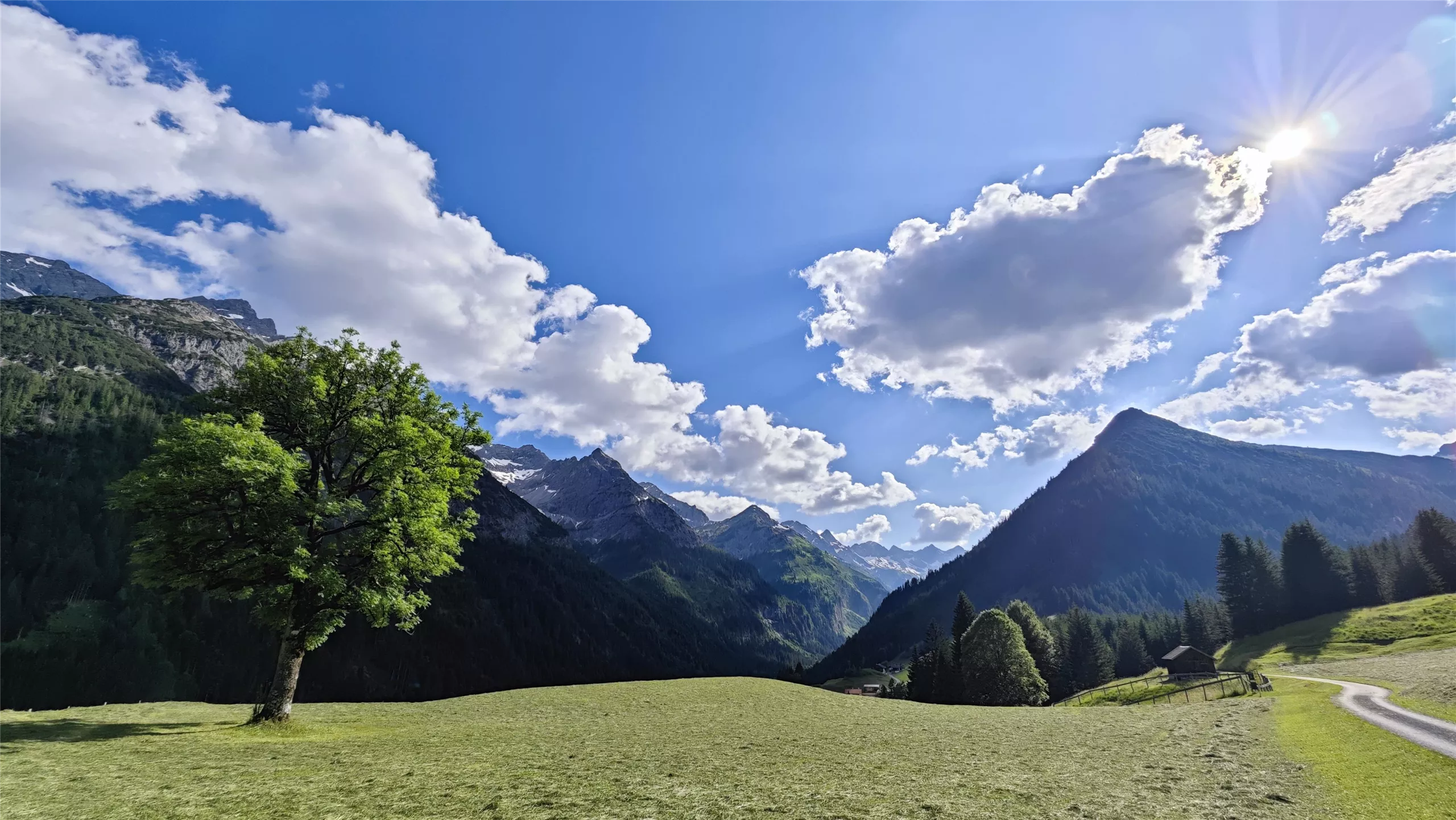
A remote village of under a hundred people at the head of the Hornbachtal, closed in by the Allgäu Alps beneath the Hochvogel.
- 4Highlights
- 27Routes
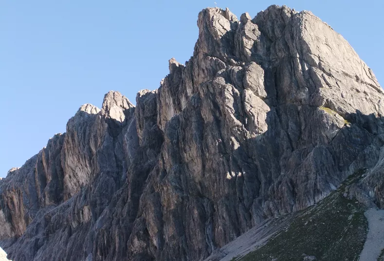
- Featured summit · Kreuzspitze
Highlights
11 from neighbouring places
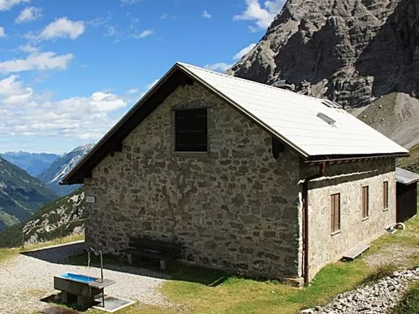
Kaufbeurer Haus 2.007 m
A simple refuge at 2,007 m in the Hornbach chain above Hinterhornbach, a shelter for climbers in this quiet corner of the Allgäu Alps.
Petersbergalm 1.250 m
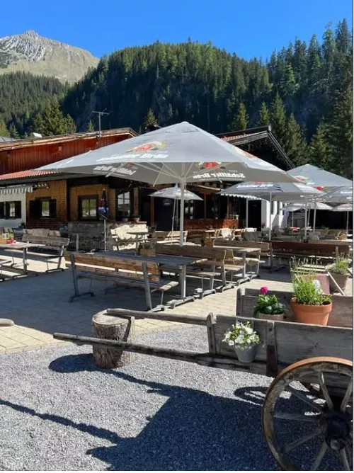
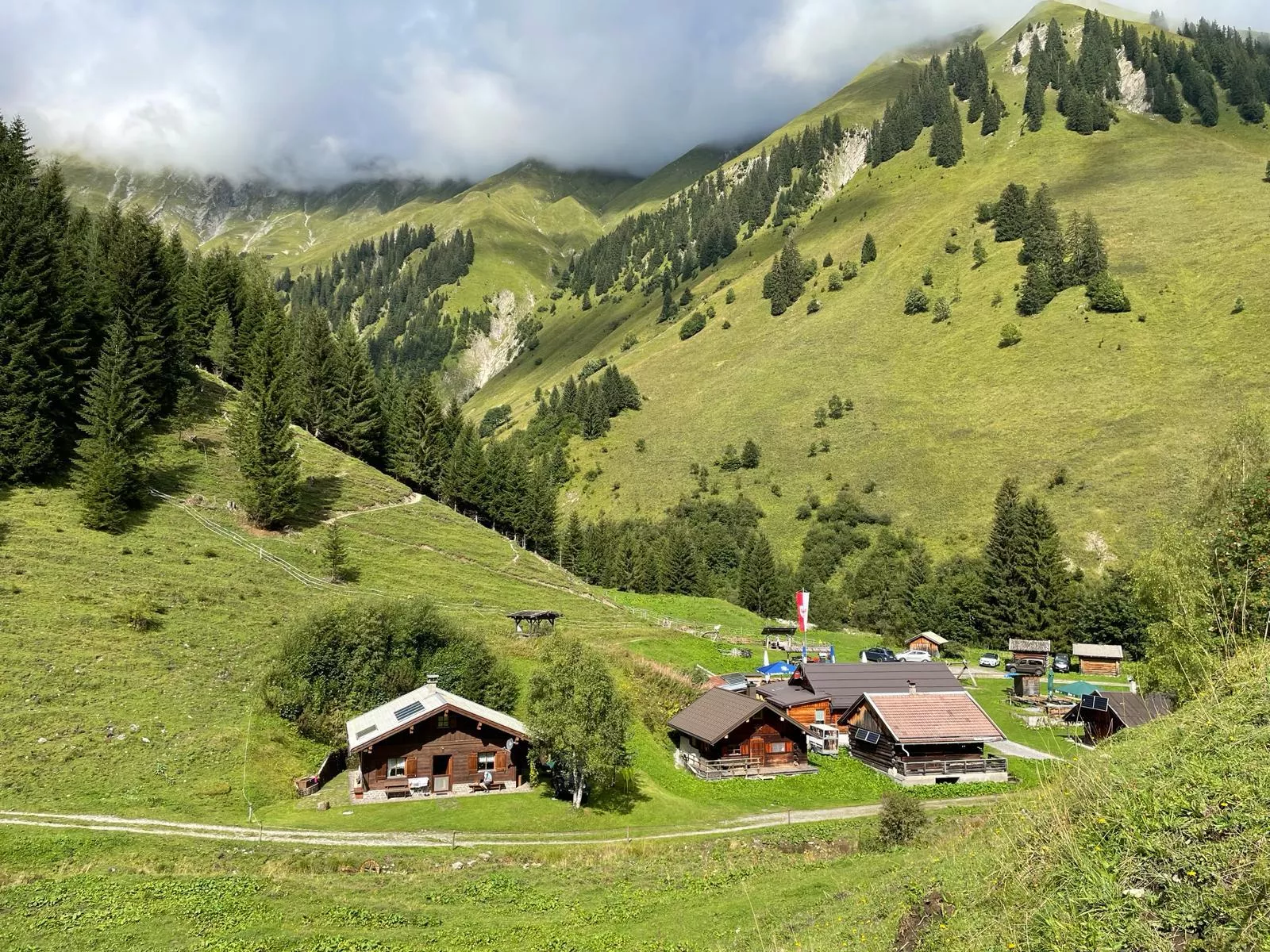
An alpine pasture at 1,250 m above Vorderhornbach, serving regional food to walkers in the Hornbach valley of the Allgäu Alps.
Kraftplatz "Am Anger"
A designated viewpoint rest area at Hinterhornbach, a remote village at 1,101 m beneath the Hornbach chain of the Allgäu Alps.
Berggasthof Alpenrose
A mountain inn at Hinterhornbach, serving Austrian and regional cooking in the remote village beneath the Hornbach chain.
Hermann von Barth Hütte 2.131 m
4.6 km away, in Elbigenalp
A refuge at 2,131 m in the Hornbach chain of the Allgäu Alps above Elbigenalp, a base for climbers on the range's rugged limestone peaks.
Klettergebiet Wolfebner
4.6 km away, in Elbigenalp
A climbing area on the Wolfebner walls near Elbigenalp, offering rock routes above the central Lechtal.
Kasermandl 1.412 m
5.7 km away, in Elbigenalp
A mountain hut at 1,412 m above Elbigenalp with a small restaurant serving regional and international dishes to walkers on the sunny slope.
Gibler Alm 1.208 m
6.3 km away, in Elbigenalp
A family-friendly alm at 1,208 m above Elbigenalp, an easy walking destination with a mountain restaurant and views over the Lechtal.
Pferdekutschenfahrt | Jäger Florian
6.4 km away, in Elbigenalp
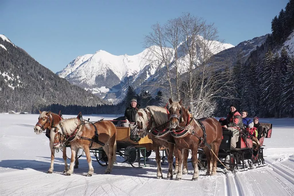
Horse-drawn carriage and sleigh rides with Florian Jäger at Elbigenalp, touring the meadows of the central Lechtal.
Aussichtsplattform Baichlstein | Lechzopf
6.5 km away, in Elbigenalp
A viewing platform on the Baichlstein above Stanzach, overlooking the Lechzopf, where the Lech divides into braided gravel channels.
Almendorf Fallerschein
6.5 km away, in Elbigenalp
A cluster of old larch-log huts at Fallerschein above Stanzach, an alp village occupied only during the summer months.
Wildbeobachtungsstand Fallerschein
6.5 km away, in Elbigenalp
A wildlife observation stand at Fallerschein above Stanzach, where deer and other game can be watched over the forest meadows.
Besucherinformationszentrum Wunderkammer
6.6 km away, in Elbigenalp
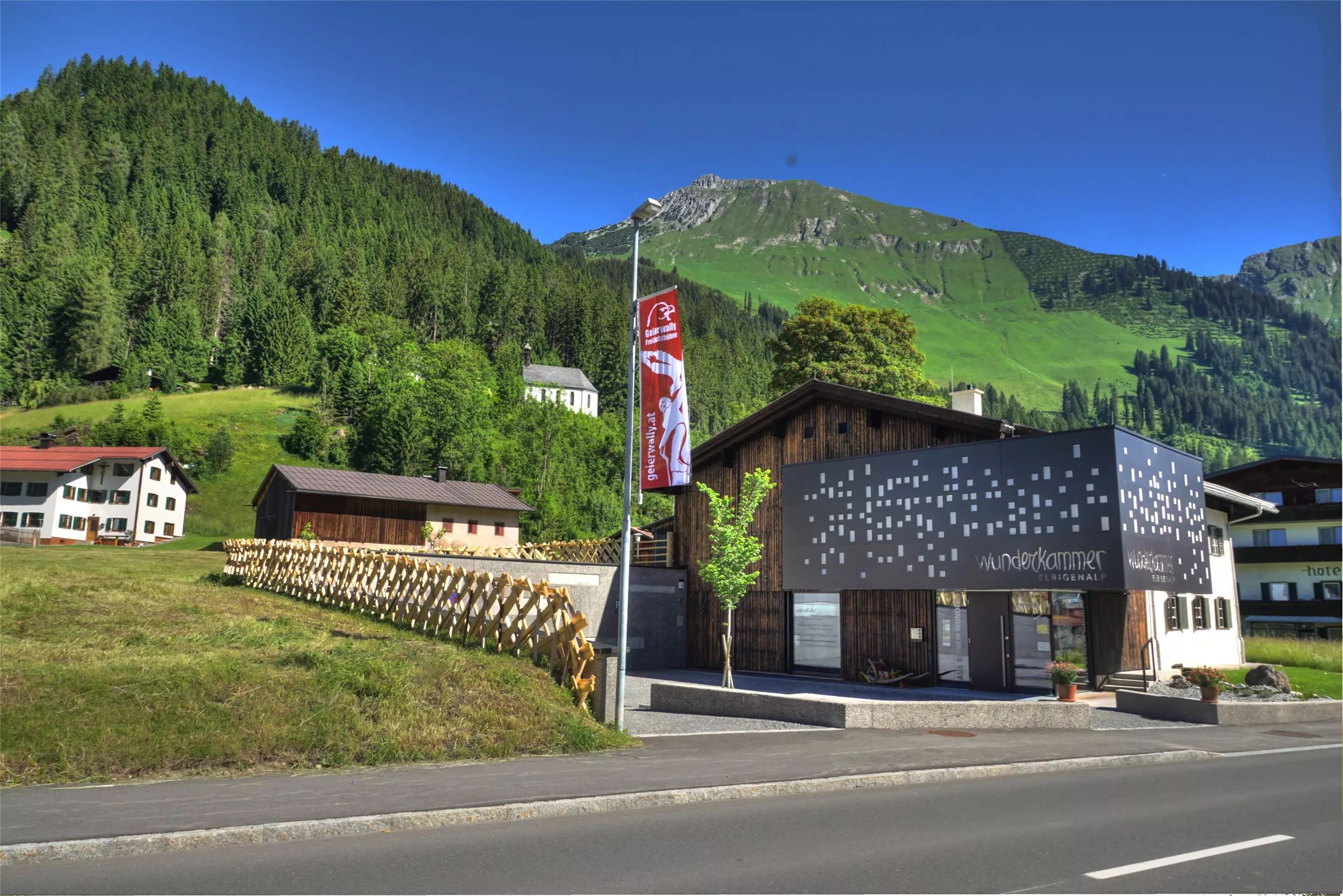
The Wunderkammer visitor centre at Elbigenalp, presenting the Lechtal's nature, crafts and history in a compact exhibition.
Kulturführerin Mathilde Schlichtherle
6.6 km away, in Elbigenalp
Guided village and culture walks in Elbigenalp with local guide Mathilde Schlichtherle, covering the history, churches and crafts of the Lechtal.
Museum Wunderkammer
6.6 km away, in Elbigenalp
A museum and cultural centre in Elbigenalp presenting changing exhibitions, paintings and collections tied to the Lechtal and its people.
Nothing of this kind in Hinterhornbach.
Routes
Hinterhornbach - Neaderpfad Runde
Short, partly shaded loop around the mountain village of Hinterhornbach, passing the Gasthof Alpenrose on the way — comfortable walking for a relaxed half day.
- 4.6 km
- Distance
- 158 m
- Ascent
- 1 h 28 min
- Duration
- 9
- Check-ins
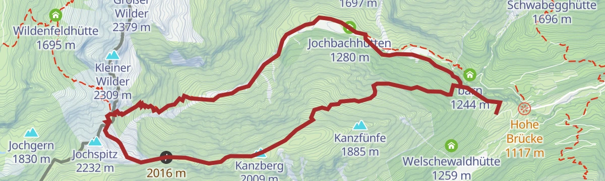
Hinterhornbach - Kanzberg - Jochbach
Circuit from Hinterhornbach that climbs to the Hornbachjoch, tops the Kanzberg and returns through the wild Jochbachtal past the Jochbachhütten.
- 11.4 km
- Distance
- 861 m
- Ascent
- 5 h 35 min
- Duration
- 6
- Check-ins
Grenzgänger Etappe 5 - Hinterhornbach, Hochvogel & Hintersteiner Tal
Stage built around the Hochvogel, passing close under it at the Fuchsensattel before a break at the Prinz-Luitpold-Haus and the descent into the Hintersteiner Tal.
- 14.4 km
- Distance
- 1 654 m
- Ascent
- 10 h
- Duration
- 62
- Check-ins
Skitour auf den Großer Wilder
Ski route up the Jochbachtal, where a steep step above the valley floor asks for care before broad south-east slopes open out; an early start pays, and the Hinterer Wilde can be added.
- 5.4 km
- Distance
- 1 140 m
- Ascent
- 56 m
- Descent
- 3 h 7 min
- Duration
- 3
- Check-ins
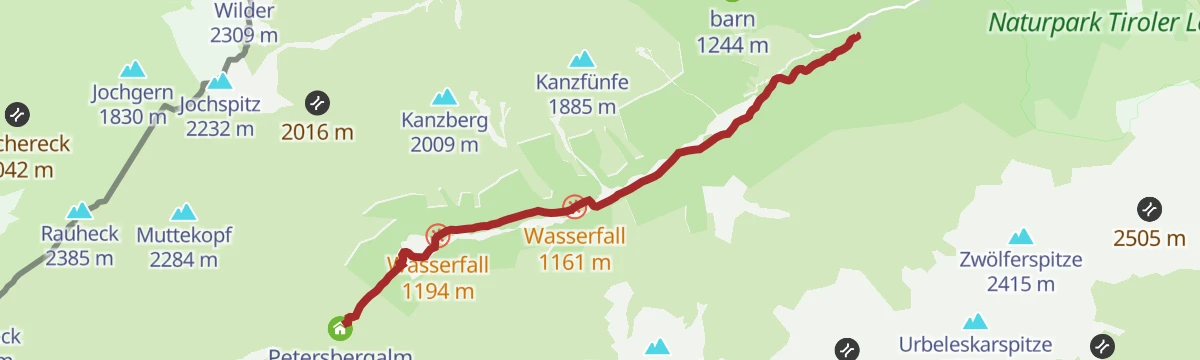
Zur Petersbergalm
A short and easy track to the alm at 1,250 m, following the stream past a pair of waterfalls with very little climbing.
- 5.5 km
- Distance
- 166 m
- Ascent
- 35 min
- Duration
- 8
- Check-ins
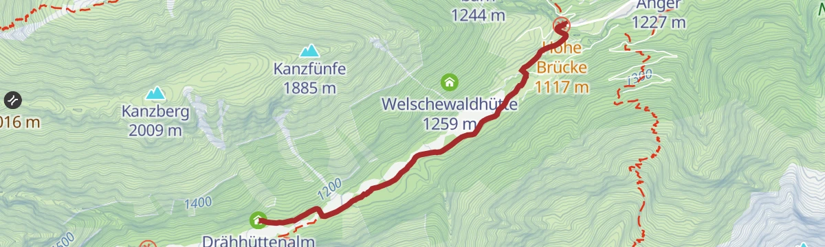
Ins Auszeitdorf Hinterhornbach
An easy valley track up the Hornbachtal to the last village at 1,100 m, crossing the Hohe Brücke with the houses already in view.
- 7.6 km
- Distance
- 174 m
- Ascent
- 47 min
- Duration
- 9
- Check-ins
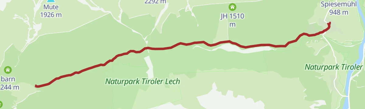
Gravelbike Tour 1.3 - Durch den Naturpark Tiroler Lech
A long gravel run up the Lech valley in Tirol, with the Petersbergalm at 1,250 m and the Drähhüttenalm on the higher sections.
- 79.4 km
- Distance
- 688 m
- Ascent
- 7 h 42 min
- Duration
- 41
- Check-ins
Steeg-Kaisers
A very long day on the road from the Lechtal into the Tannheimer Tal, over the Vils/Lech watershed and past the Haldensee.
- 118.1 km
- Distance
- 1 951 m
- Ascent
- 12 h 19 min
- Duration
- 76
- Check-ins
Hinterhornbach - Petersbergalm
Easy walk from Hinterhornbach to the Petersbergalm, a working alpine dairy, with the Drähhüttenalm along the way — a rewarding snack stop at the turnaround.
- 5.6 km
- Distance
- 176 m
- Ascent
- 1 h 35 min
- Duration
- 8
- Check-ins
Grenzgänger Etappe 4 - Himmelecksattel, Hornbachjoch & Hinterhornbach
A demanding border-country stage from the Prinz-Luitpold-Haus past the Wildenfeldhütte, crossing the Himmelecksattel and the Kanzberg before descending to the Hornbach valley.
- 15.6 km
- Distance
- 1 025 m
- Ascent
- 6 h 56 min
- Duration
- 35
- Check-ins
Petersbergalm – MTB-Spaß rund um das Tannheimer Tal
A gently rising forest-road ride above Hinterhornbach to the Petersbergalm at 1,250 m, passing the Drähhüttenalm and two waterfalls.
- 11.1 km
- Distance
- 230 m
- Ascent
- 1 h 12 min
- Duration
- 8
- Check-ins
Stanzach-Hinterhornbach
A long valley ride between the Lech and the Tannheimer Tal, crossing the Vils/Lech watershed and passing the Haldensee.
- 79.3 km
- Distance
- 1 439 m
- Ascent
- 8 h 24 min
- Duration
- 71
- Check-ins
Hinterhornbach - Am Hornbach entlang
Gentle streamside stroll beside the Hornbach out to the Drähhüttenalm and back, level nearly throughout and also kept open as a winter walking route.
- 3.1 km
- Distance
- 52 m
- Ascent
- 50 min
- Duration
- 3
- Check-ins
Hinterhornbach - Hochvogel
A steep high-alpine climb toward the Hochvogel via the Kaltwinkelscharte, gaining nearly 1,400 m in seven kilometres; the Bäumenheimer Weg is closed because of rockfall danger.
- 7.0 km
- Distance
- 1 386 m
- Ascent
- 5 h 23 min
- Duration
- 16
- Check-ins
Gravelbike Tour 1.3 - Durch den Naturpark Tiroler Lech
A long gravel ride through the Naturpark Tiroler Lech from Weißenbach, taking in the Petersbergalm and the Drähhüttenalm above the river.
- 79.4 km
- Distance
- 1 443 m
- Ascent
- 8 h 24 min
- Duration
- 41
- Check-ins
Hinterhornbach - Bärenbadrunde
Family-friendly loop over Am Anger to the Bärenbadalm, an easygoing round through pasture and forest above the Hornbach valley.
- 7.0 km
- Distance
- 255 m
- Ascent
- 2 h 16 min
- Duration
- 3
- Check-ins
Von Hinterhornbach zum Kanzberg und zum Hornbachjoch
Long, demanding circuit that climbs from Hinterhornbach to the Hornbachjoch, crosses the Kanzberg and Karlespitze, and swings back past the Kanzberghütte and the Jochbachhütten.
- 16.3 km
- Distance
- 1 293 m
- Ascent
- 8 h 21 min
- Duration
- 13
- Check-ins
Gravelbike Tour 2.1 - Lechzopf
A long gravel loop out of the Lechtal, taking in the Fallerschein meadows at around 1,300 m and the quiet Hornbach side valley.
- 65.6 km
- Distance
- 1 523 m
- Ascent
- 7 h 16 min
- Duration
- 30
- Check-ins
Hinterhornbach - Drähütten Runde
Comfortable loop beside the Hornbach to the Drähhüttenalm; the Drähütten huts were once the summer settlements of farmers from the Hornbach villages.
- 6.7 km
- Distance
- 67 m
- Ascent
- 1 h 45 min
- Duration
- 3
- Check-ins
Hermann v. Barth Hütte - Enzensberger Weg - Hinterhornbach
Remote high traverse from the Hermann-von-Barth-Hütte along the Enzensberger Weg past the Kaufbeurer Haus and over the Schwärzerscharte to Hinterhornbach.
- 15.0 km
- Distance
- 609 m
- Ascent
- 6 h 43 min
- Duration
- 9
- Check-ins
Hinterhornbach - Jochbachhütten Runde
Easy family circuit along old smugglers' paths to the Jochbachhütten and back — shaded, gently rising and well suited to children.
- 5.4 km
- Distance
- 194 m
- Ascent
- 1 h 44 min
- Duration
- 3
- Check-ins
Hinterhornbach - Enzensberger Weg
A quiet high route for experienced hikers, linking the Kaufbeurer Haus and the Hermann-von-Barth-Hütte over the Schwärzerscharte — 1,650 m of climbing through the Hornbachkette.
- 15.0 km
- Distance
- 1 651 m
- Ascent
- 8 h 3 min
- Duration
- 9
- Check-ins
Panoramaweg Hinterhornbach
Short view-rich loop above the village via Am Anger, doable in an hour and also maintained as a winter walking path.
- 2.5 km
- Distance
- 88 m
- Ascent
- 44 min
- Duration
- 2
- Check-ins
Hinterhornbach-Bretterspitze
A stiff summit day on the Bretterspitze, gaining 1,500 m in barely six kilometres past the Kaufbeurer Haus and the Schwärzerscharte, with some easy scrambling near the top.
- 6.2 km
- Distance
- 1 502 m
- Ascent
- 5 h 26 min
- Duration
- 8
- Check-ins
Hinterhornbach-Kaufbeurer Haus-Haglertal-Häselgehr
A full crossing of the Hornbachkette: up to the Kaufbeurer Haus, over the Schwärzerscharte and down the quiet Haglertal past the Hagler Hütte to Häselgehr.
- 12.2 km
- Distance
- 1 423 m
- Ascent
- 8 h 42 min
- Duration
- 5
- Check-ins
Häselgehr - Kaufbeurer Haus - Hinterhornbach
Very alpine crossing from Häselgehr over the Gliegerscharte to the Kaufbeurer Haus and down to Hinterhornbach, brushing the fore-summit of the Gliegerkarspitze.
- 12.0 km
- Distance
- 1 534 m
- Ascent
- 8 h 52 min
- Duration
- 5
- Check-ins
Hinterhornbach - Kaufbeurer Haus
Direct, steep approach to the Kaufbeurer Haus, a mountain refuge at 2,005 m on the north flank of the Hornbachkette — over 900 m of ascent in just 3.4 km.
- 3.4 km
- Distance
- 923 m
- Ascent
- 3 h 18 min
- Duration
- 2
- Check-ins
No routes of this kind in Hinterhornbach yet.
The region's own picks

Featured route
Hinterhornbach - Neaderpfad Runde
Short, partly shaded loop around the mountain village of Hinterhornbach, passing the Gasthof Alpenrose on the way — comfortable walking for a relaxed half day.
Planning a trip to Hinterhornbach?
Everything else Tyrol has, in one place


Take Hinterhornbach with you into the mountains
Every route on this page with 3D terrain, GPX navigation and offline maps — including the valleys with no signal.
Data sources
- Official website: lechtal.at ↗
- Routes and highlights: Lechtal Tourismus, Tannheimer Tal, Naturparkregion Reutte
- Published as open data by the tourist boards named above.
- Region summary generated from the board's own material.
