
Curated by Naturparkregion Reutte
Heiterwang
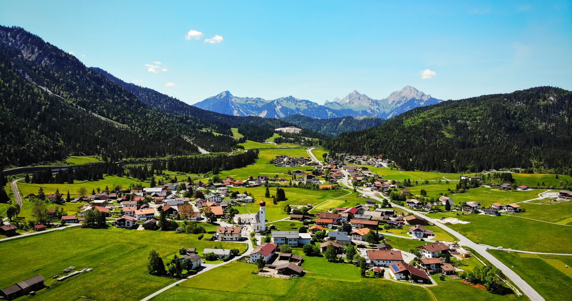
The village on the reed-fringed Heiterwanger See, joined by a channel to the Plansee, in the pass country between the Lechtaler and Ammergau Alps.
- 15Highlights
- 18Routes
Highlights
All 15 from neighbouring places
Festung Klause
4.3 km away, in Reutte
The fortified toll station at the foot of the Ehrenberg castle ensemble near Reutte, which once controlled the road through the narrow valley.
Burgenwelt Ehrenberg
4.4 km away, in Reutte
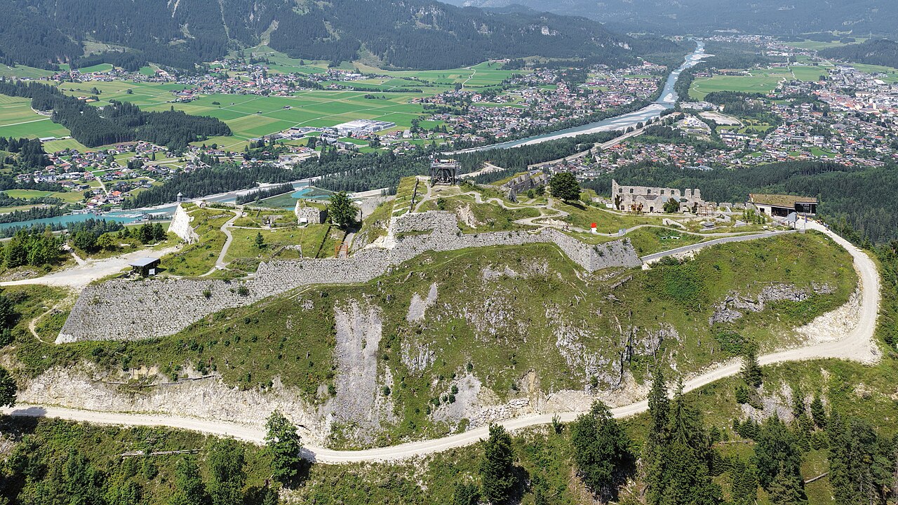
The Ehrenberg castle ensemble near Reutte, with medieval ruins, a fort museum and the highline179 pedestrian suspension bridge.
highline179
4.5 km away, in Reutte
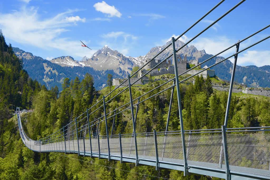
A pedestrian suspension bridge spanning the valley between the Ehrenberg castle ruins and Fort Claudia near Reutte, over 400 m long.
Festung Schlosskopf
4.9 km away, in Reutte
An 18th-century fortress on the Schlosskopf hill above the Ehrenberg castle ensemble near Reutte, built to command the older works below.
Plansee
4.9 km away, in Reutte
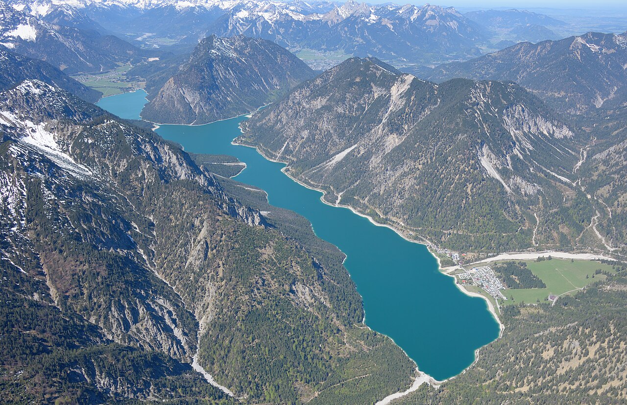
A large fjord-like lake east of Reutte at Breitenwang, joined to the Heiterwanger See by a narrow channel and cruised by excursion boats.
Alpentherme Ehrenberg
5.4 km away, in Reutte
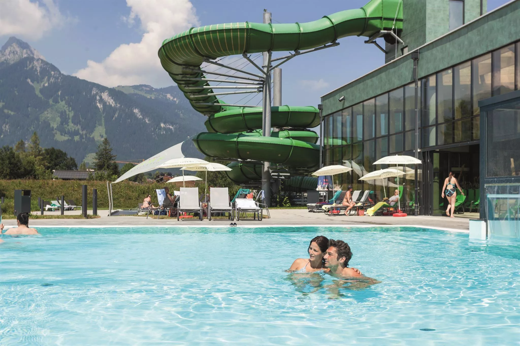
An indoor pool and wellness complex near the Ehrenberg castle ensemble at Reutte, a family swimming option at the mouth of the Lechtal.
Marktgemeindeamt und Nagelsäule
6.2 km away, in Reutte
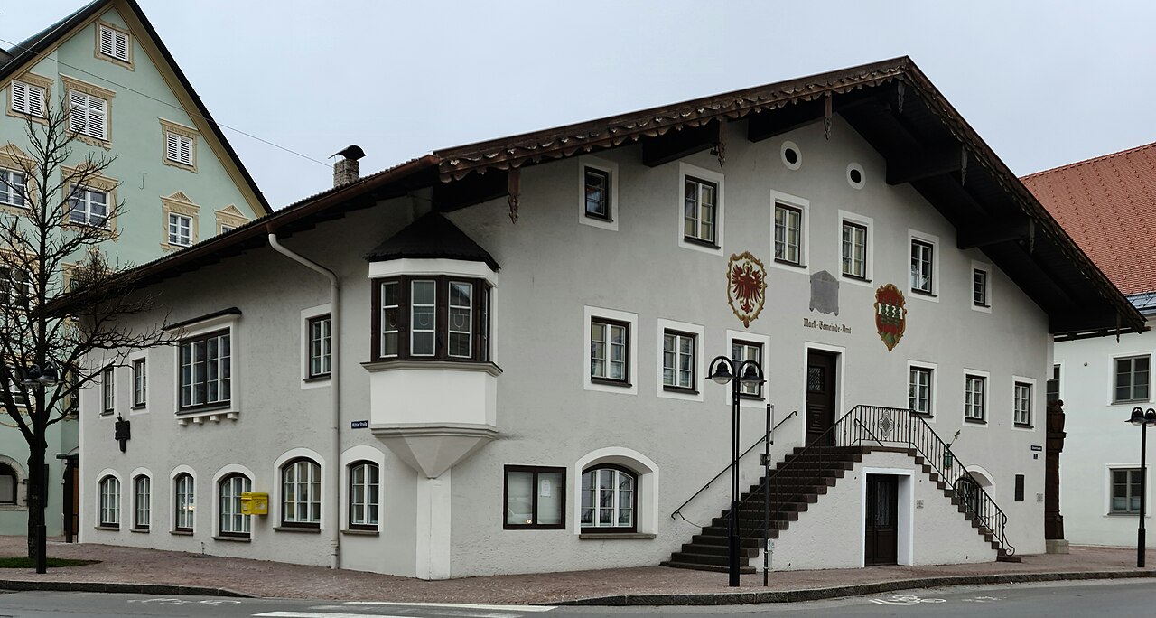
Reutte's market-town hall with the Nagelsäule, a First World War column into which donors drove nails to fund relief for soldiers' families.
Urisee
6.4 km away, in Reutte
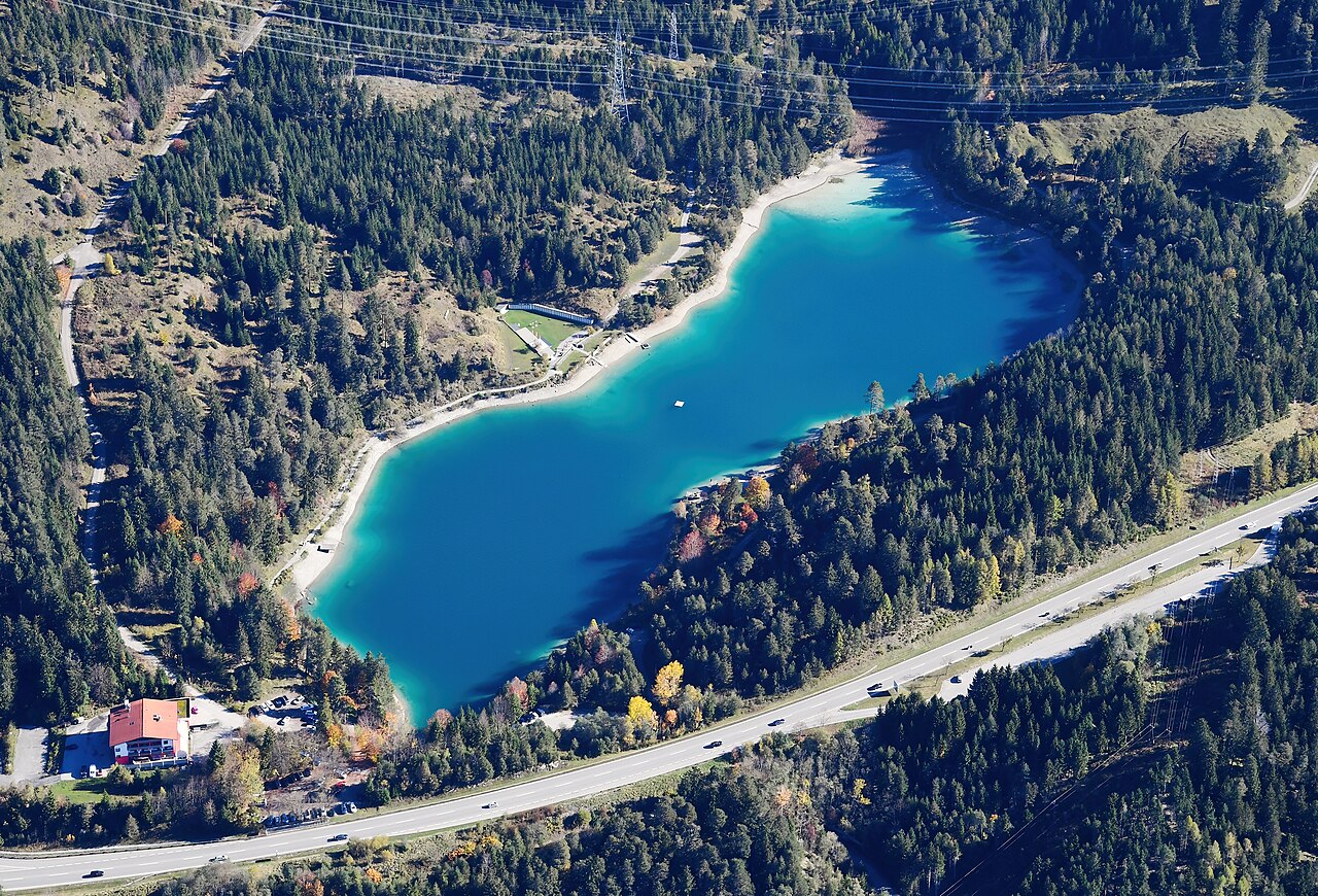
A small bathing lake in the forest above Reutte, warm enough for summer swimming and circled by an easy walking path.
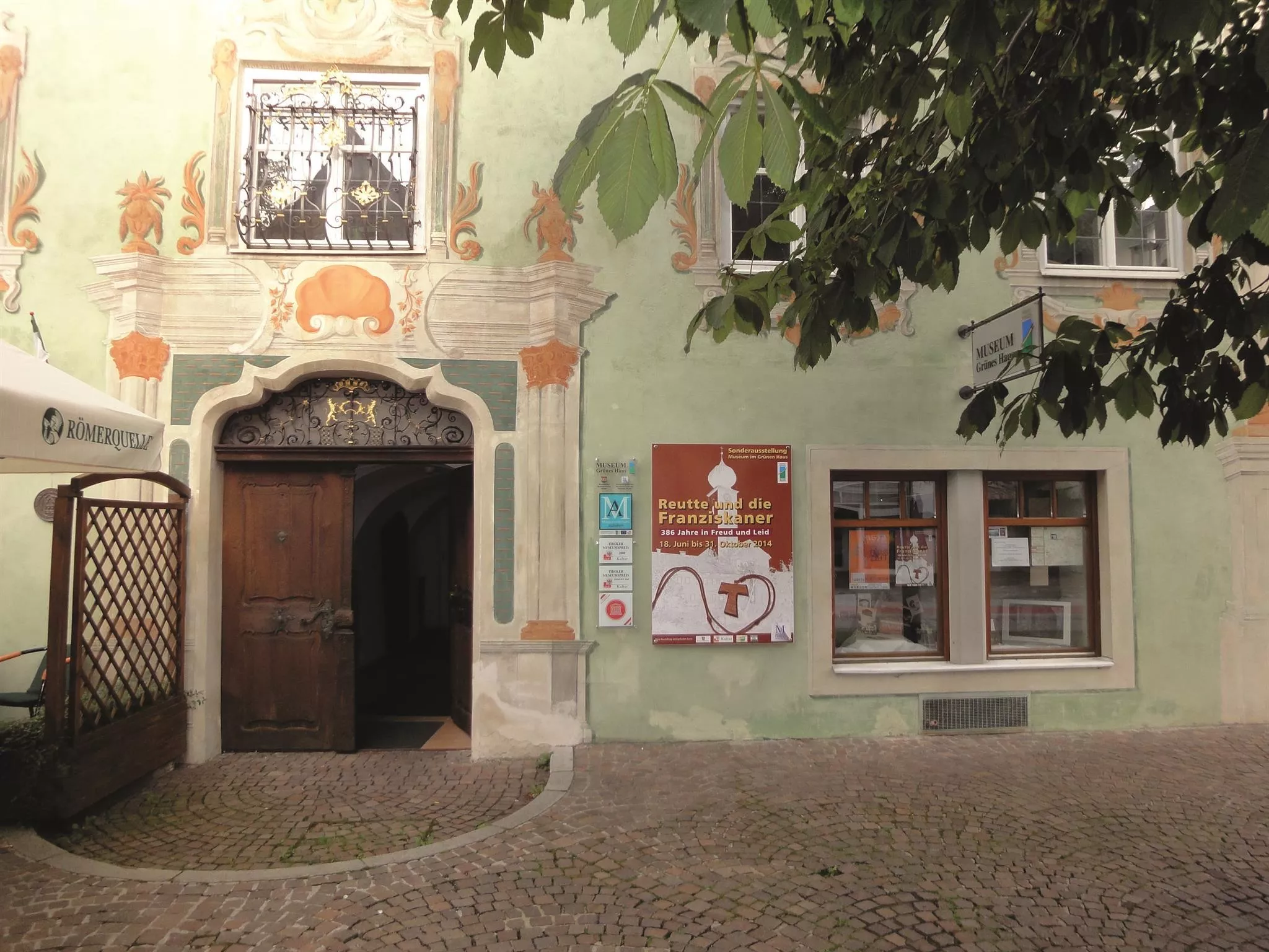
Museum im "Grünen Haus"
6.4 km away, in Reutte
The regional museum in Reutte's Green House, a historic painted town house with collections on the art and history of the Ausserfern district.
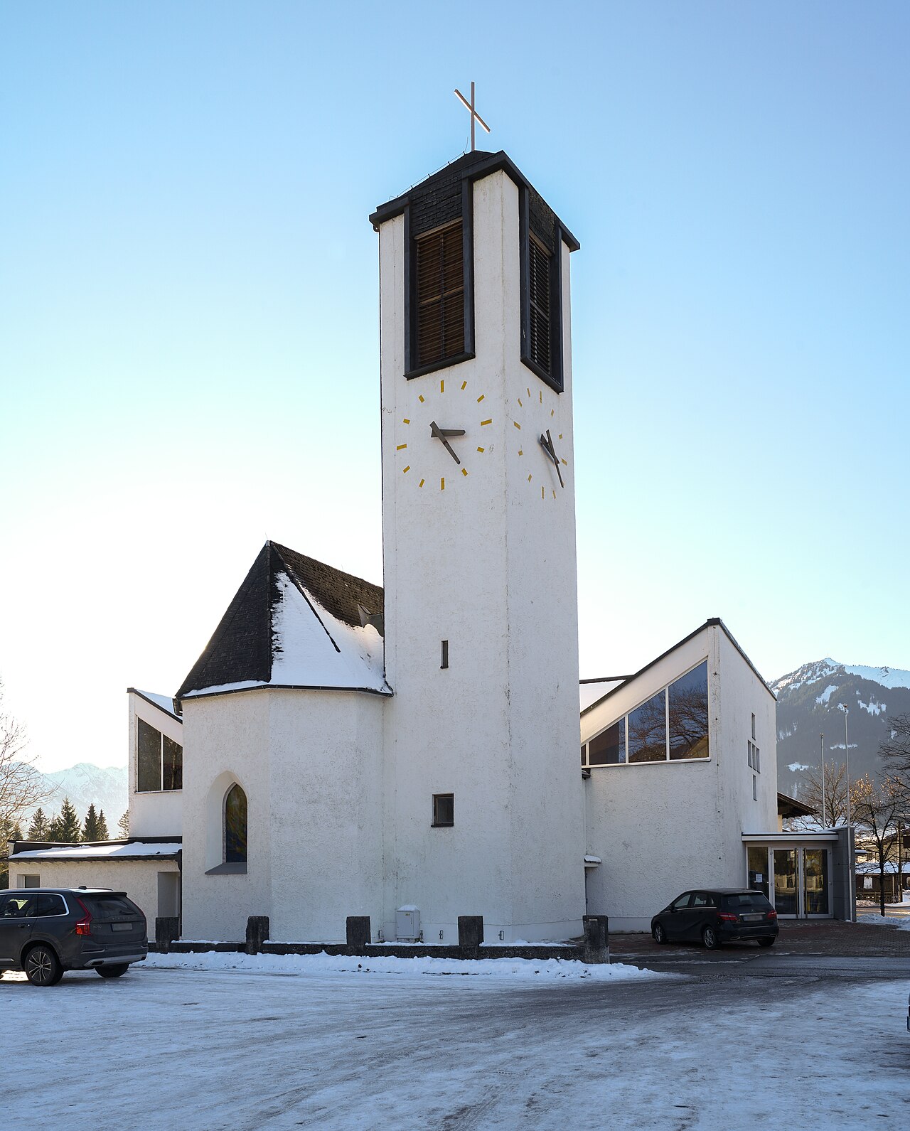
Hl.-Geist-Kirche
6.6 km away, in Reutte
The parish church of Lechaschau, dedicated to the Holy Spirit, standing across the Lech from the market town of Reutte.
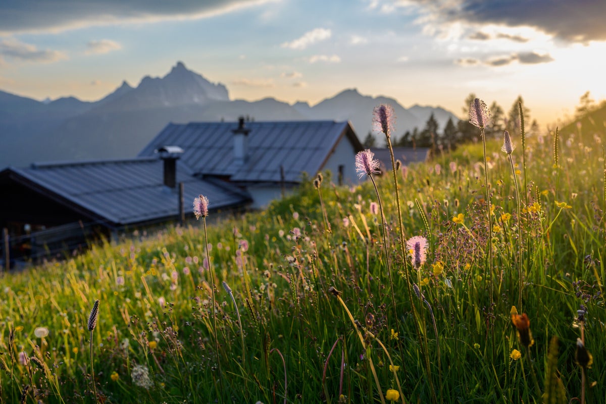
Dürrenberg Alm
7.3 km away, in Reutte
A pasture hut in the hills between Reutte and the Plansee, reached on foot or by bike from the valley.
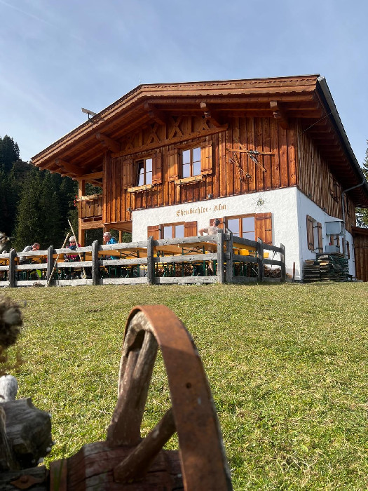
Ehenbichler Alm
7.6 km away, in Reutte
A managed pasture hut in the mountains south of Reutte, open to walkers and mountain bikers during the summer months.
Ehenbichler Raaz-Alm
7.6 km away, in Reutte
A high pasture near Berwang neighbouring the Ehenbichler Alm, where cattle graze in summer and walkers find simple refreshment.
Erlebnis-Freibad Weißenbach
10.1 km away, in Reutte
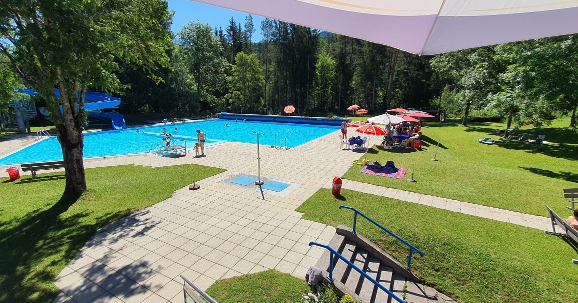
The outdoor swimming pool of Weissenbach am Lech, with pools, slides and lawns for families during the summer season.
Marienkapelle
6.4 km away, in Ehenbichl
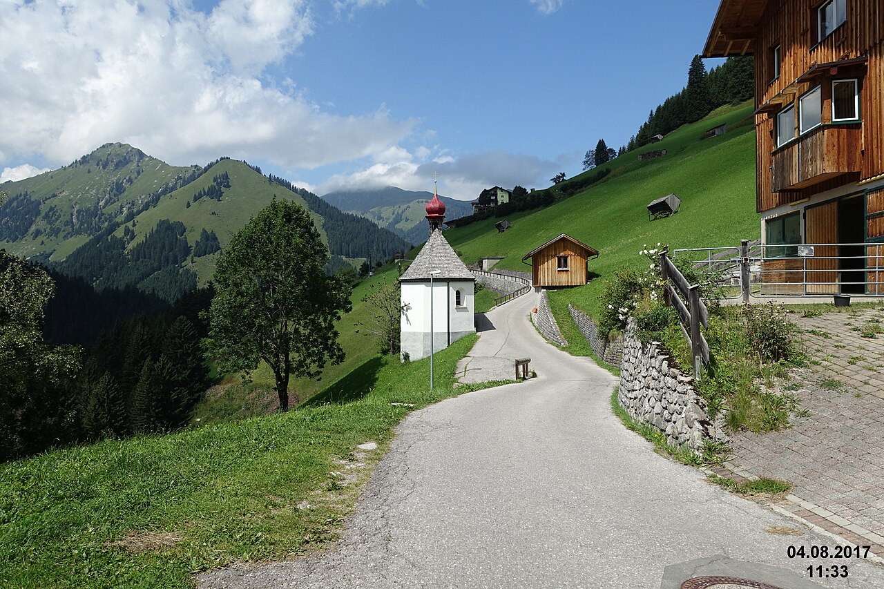
A small chapel dedicated to the Virgin Mary in Höfen near Reutte, one of many wayside churches in the Naturparkregion Reutte.
 Historic site
Nothing of this kind in Heiterwang.
Routes
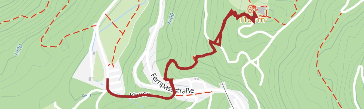
Wanderung zum Fort Claudia ab Burgenwelt Ehrenberg
From the Burgenwelt Ehrenberg car park up to Fort Claudia, the 17th-century outwork across the valley from the main ruin — a short, rewarding history walk.
- 2.0 km
- Distance
- 156 m
- Ascent
- 1 h 1 min
- Duration
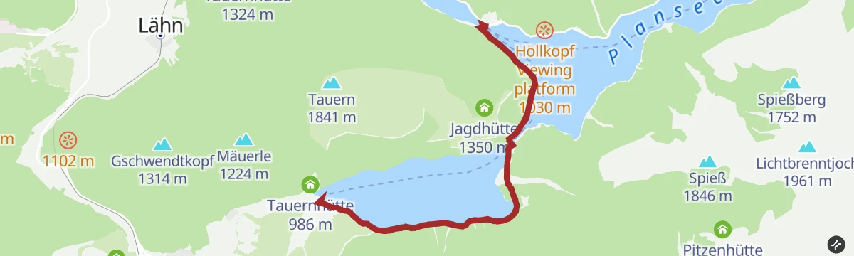
Rundwanderung um den Heiterwanger See
Nearly flat round of the Heiterwanger See through shoreline forest, passing the Speckbacherhütte and Tauernhütte; a boat also links the lake with the Plansee.
- 9.8 km
- Distance
- 79 m
- Ascent
- 2 h 29 min
- Duration
- 21
- Check-ins
Gravelbike Tour 4.3 - Arena Runde
A long gravel circuit on the broad valley floor around Lermoos, passing the camp site and staying between about 980 and 1,100 m.
- 41.4 km
- Distance
- 504 m
- Ascent
- 4 h 9 min
- Duration
- 64
- Check-ins
Biketour Zugspitz-8
A figure of eight right round the Zugspitze from Ehrwald, taking in the Ehrwalder Alm and the Garmisch ski stadium.
- 103.8 km
- Distance
- 2 311 m
- Ascent
- 11 h 23 min
- Duration
- 273
- Check-ins
Rundwanderung um den Plansee
Full circuit of the Plansee, mostly on shoreline paths and forest road, with the Muster Alm and the Speckbacherhütte for breaks along one of Tirol's largest lakes.
- 14.6 km
- Distance
- 224 m
- Ascent
- 3 h 58 min
- Duration
- 20
- Check-ins
Plansee - Griesen | MTB Tour
A long forest-road tour out of Lermoos, running past the Speckbacherhütte and the Höllkopf platform to the lake shore camp site at Seespitz.
- 46.6 km
- Distance
- 778 m
- Ascent
- 4 h 52 min
- Duration
- 32
- Check-ins
Namlosrunde
A long road circuit from Reutte through the Tannheimer Tal past the Haldensee, crossing the Vils–Lech watershed on the way home.
- 87.1 km
- Distance
- 1 713 m
- Ascent
- 9 h 21 min
- Duration
- 85
- Check-ins
Wandertour am Plansee und Heiterwanger See
A nearly level lakeshore hike along the Plansee and on to the Heiterwanger See, passing the Speckbacherhütte — two connected mountain lakes below the Ammergau peaks.
- 10.4 km
- Distance
- 46 m
- Ascent
- 2 h 33 min
- Duration
- 12
- Check-ins
Gravelbike Tour 4.1 - Berwanger Talrunde
A long gravel-road circuit through the Berwanger Tal and down towards the Lech, passing below the Thanellerkar and by the Baggersee.
- 54.1 km
- Distance
- 834 m
- Ascent
- 5 h 35 min
- Duration
- 29
- Check-ins
Gravelbike Tour 4.3 - Arena Runde
A gravel loop on the plateau between Bichlbach and Lermoos, following field tracks and quiet lanes past the Lermoos campsite.
- 41.4 km
- Distance
- 737 m
- Ascent
- 4 h 22 min
- Duration
- 64
- Check-ins
Gravelbike Tour 4.4 - Rund um den Daniel
A long circuit around the Daniel massif from Ehrwald, crossing the Sattel and passing the Plansee shore and the Höllkopf platform.
- 46.6 km
- Distance
- 969 m
- Ascent
- 5 h 3 min
- Duration
- 26
- Check-ins
Von Reutte nach Garmisch-Partenkirchen | Radtour
A day-long ride across the Tirol to Bavaria border by way of Lermoos, finishing beside the ski stadium under the Gudiberg.
- 49.3 km
- Distance
- 625 m
- Ascent
- 4 h 57 min
- Duration
- 61
- Check-ins
Gravelbike Tour 4.2 - Rund um den Thaneller
A gravel circuit out of Heiterwang around the Thaneller, calling at the Stiegalpe, the Lähner Alpe and the Kaminsube Thanellerkar.
- 27.8 km
- Distance
- 591 m
- Ascent
- 3 h 1 min
- Duration
- 21
- Check-ins
Gravelbike Tour 4.1 - Berwanger Talrunde
A gravel loop through the Berwang valley from Reutte, climbing past the Thanellerkar and the Rastkopf huts to the Schwarzes Kreuz.
- 54.1 km
- Distance
- 1 175 m
- Ascent
- 5 h 54 min
- Duration
- 29
- Check-ins
Gravelbike Tour 1.5 - Fünf Seen Runde
A long gravel loop north from Reutte through Pflach and Rieden to the Plansee, passing the Speckbacherhütte and the Karlift.
- 49.4 km
- Distance
- 706 m
- Ascent
- 5 h 3 min
- Duration
- 16
- Check-ins
 Speckbacherhütte 978 m
- Karliftstüberl 1 054 m
 Hüttenmühlsee 843 m
- Neuwaldalpe 1 111 m
- Kuhklause 1 109 m
Gravelbike Tour 4.4 - Rund um den Daniel
A long gravel loop over the Sattel at 1,110 m and down to the Plansee, passing the Höllkopf viewing platform above Bichlbach.
- 46.6 km
- Distance
- 903 m
- Ascent
- 4 h 59 min
- Duration
- 26
- Check-ins
Gravelbike Tour 4.2 - Rund um den Thaneller
A loop on gravel and forest roads past the Lähner Alpe and the Stiegalpe, with the Rastkopfbahn and Thanellerbahn stations on the way.
- 27.8 km
- Distance
- 749 m
- Ascent
- 3 h 10 min
- Duration
- 17
- Check-ins
Gravelbike Tour 1.5 - Fünf Seen Runde
A fifty-kilometre lake circuit on gravel and quiet lanes out of Reutte, with the Lech at Spirkenhof and the Karliftstüberl.
- 49.4 km
- Distance
- 1 053 m
- Ascent
- 5 h 22 min
- Duration
- 16
- Check-ins
- Speckbacherhütte 978 m
- Karliftstüberl 1 054 m
- Hüttenmühlsee 843 m
- Neuwaldalpe 1 111 m
- Kuhklause 1 109 m




No routes of this kind in Heiterwang yet.
Planning a trip to Heiterwang?
Everything else Tyrol has, in one place


Take Heiterwang with you into the mountains
Every route on this page with 3D terrain, GPX navigation and offline maps — including the valleys with no signal.
Data sources
- Official website: reutte.com ↗
- Routes and highlights: Naturparkregion Reutte, Lechtal Tourismus, Region Seefeld, Tannheimer Tal
- Published as open data by the tourist boards named above.
- Region summary generated from the board's own material.
