
 Historic site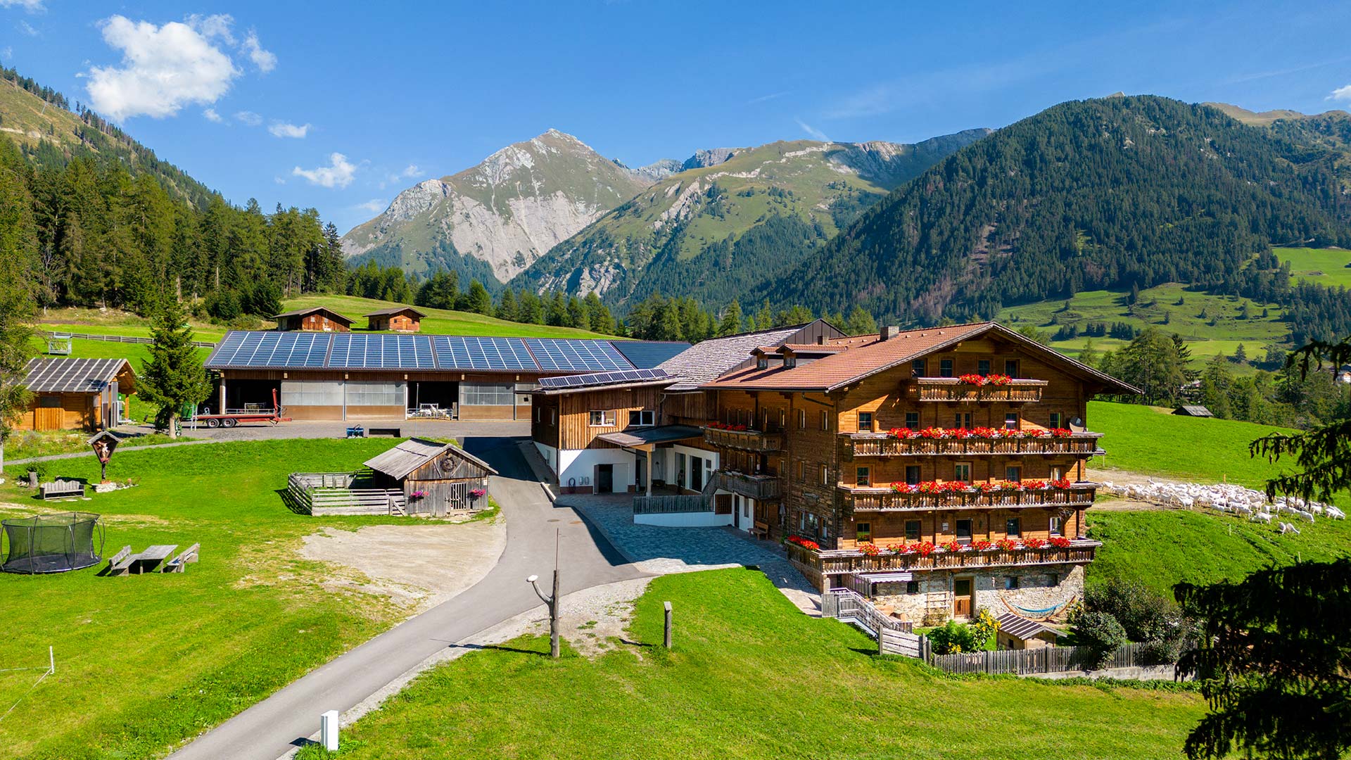







Curated by Osttirol Tourismus
Heiligenblut am Großglockner
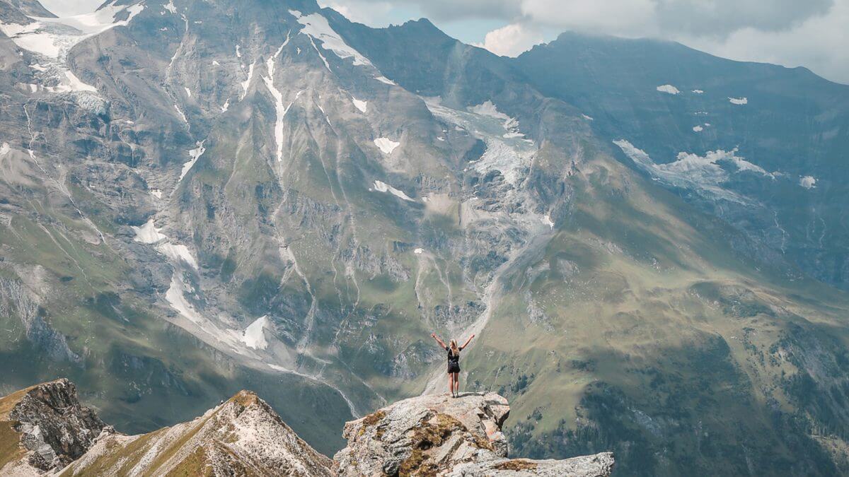
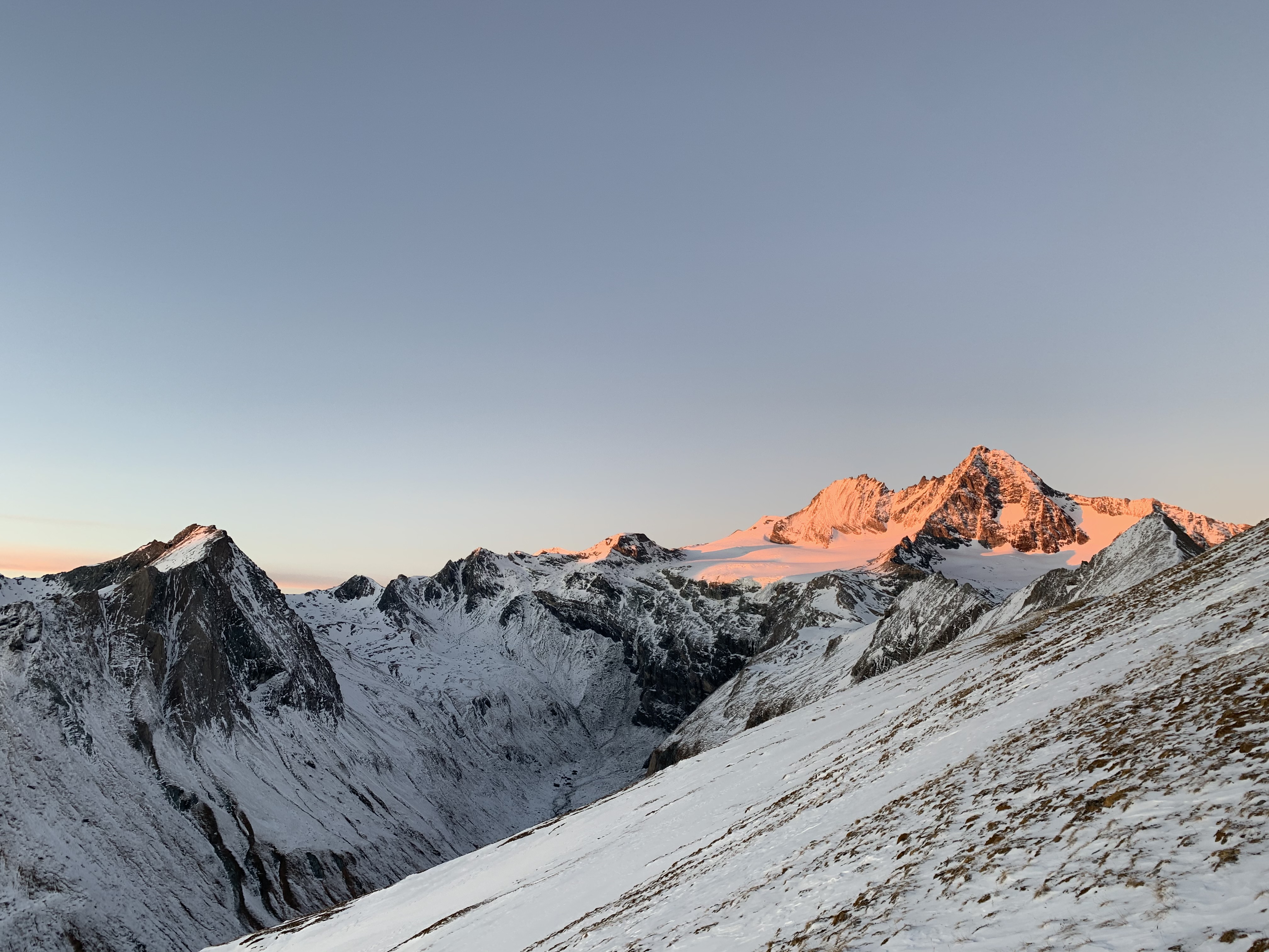
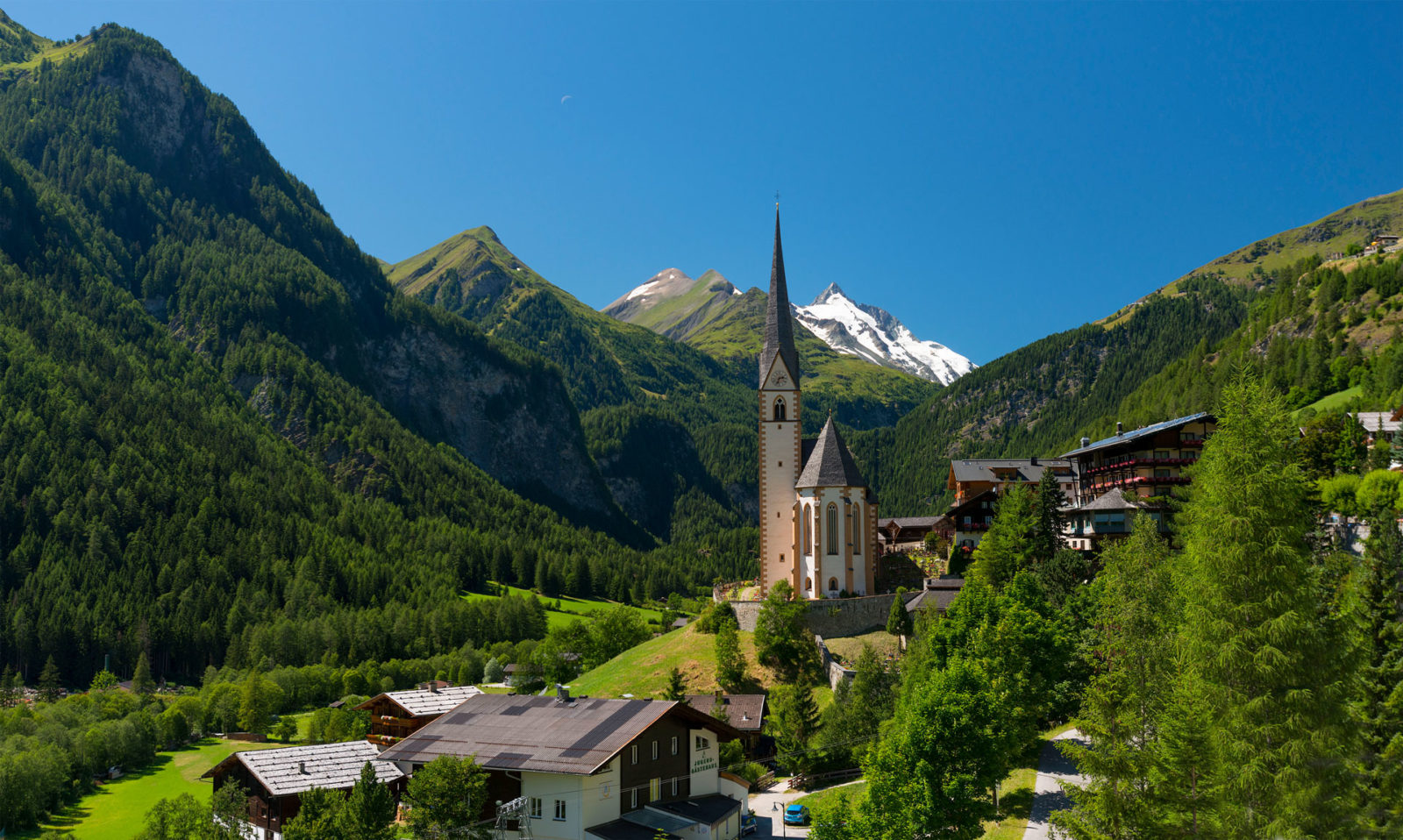
The village at the Kärnten end of the Großglockner-Hochalpenstraße, its slender Gothic pilgrimage church framed against Austria's highest peak and the Pasterze glacier.
- 3Highlights
- 2Routes
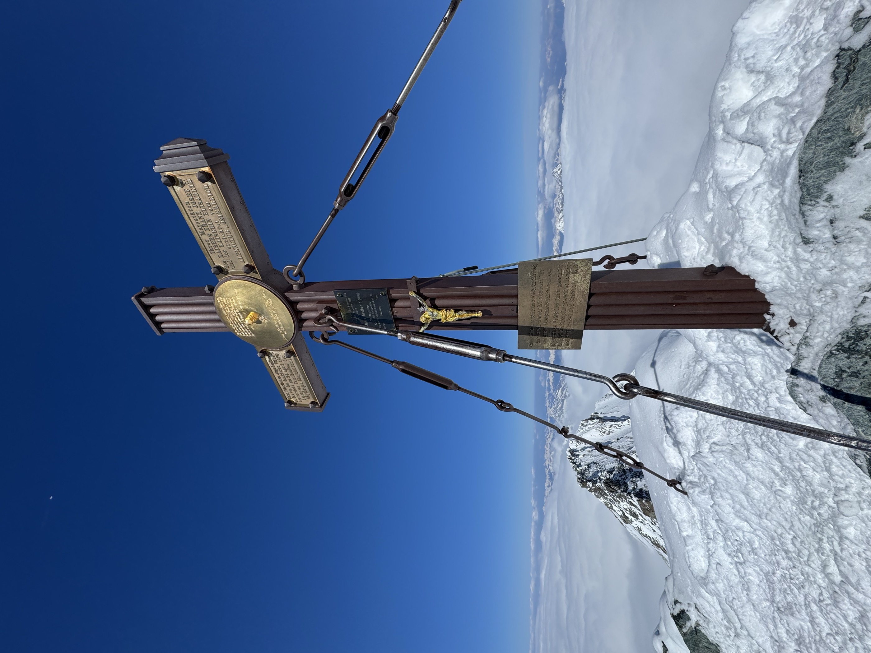
- Featured summit · Großglockner
Highlights
9 from neighbouring places
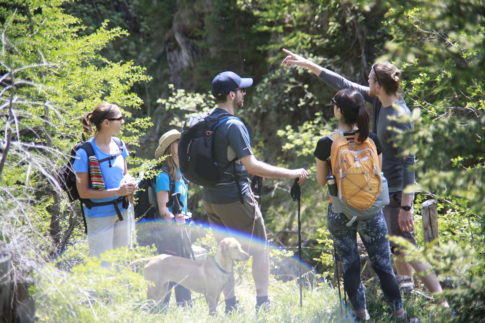
Berge & Wasser erleben im Nationalpark Hohe Tauern
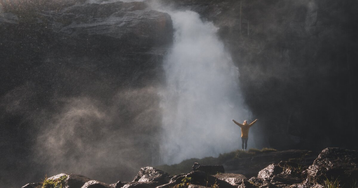
An overview page on walking to waterfalls, gorges and glacier streams in the Hohe Tauern national park.
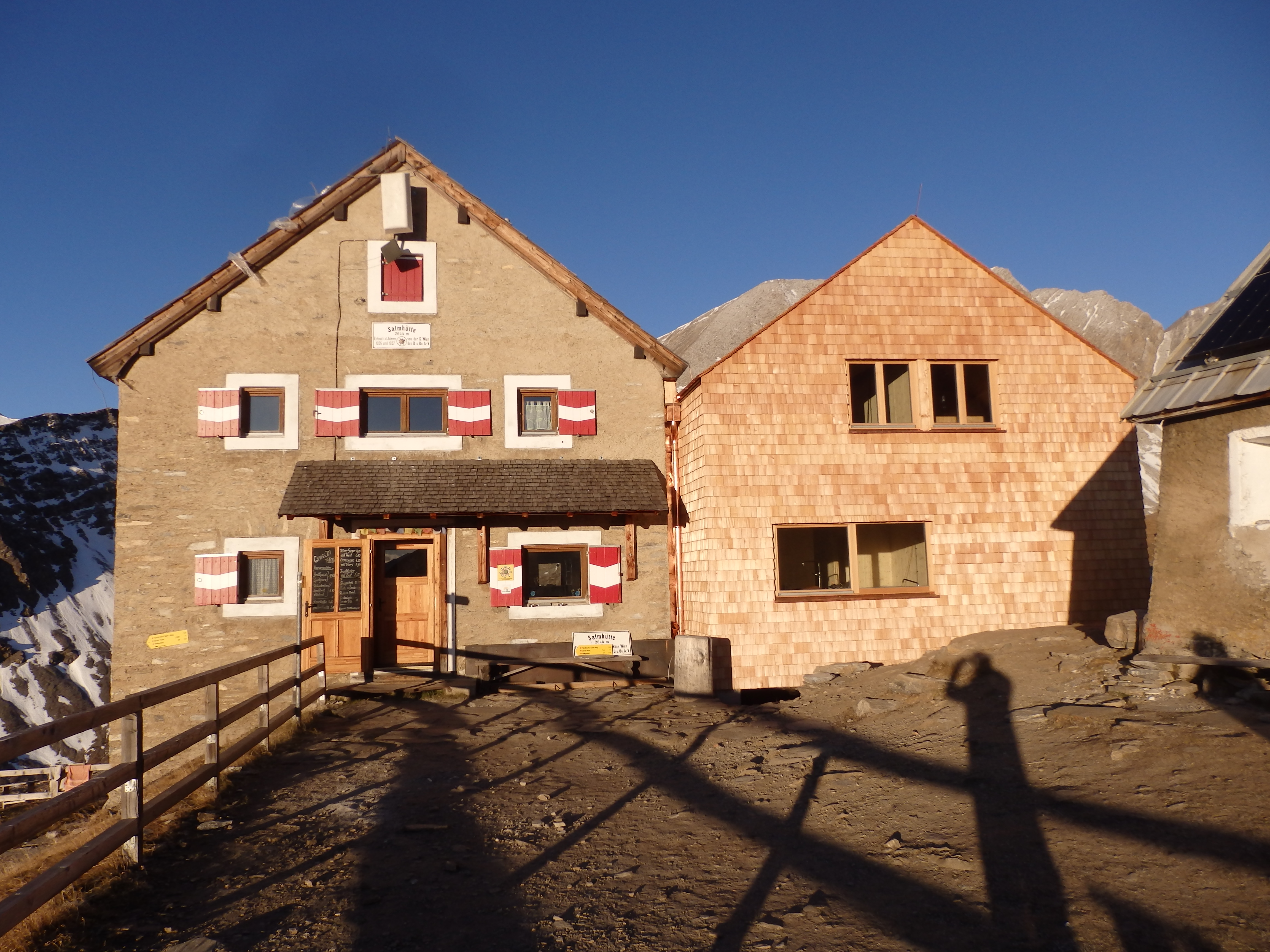
Salmhütte 2.644m
An alpine club hut at 2,644 m below the Großglockner, successor to one of the oldest refuges in the Eastern Alps, first built for the ascent attempts around 1800.
Elberfelderhütte 2.346m
An alpine club hut at 2,346 m in the Schober group, reached through the Gößnitz valley from Heiligenblut and used on high hut-to-hut rounds.
Stüdlhütte 2.802m
9 km away, in Kals am Großglockner
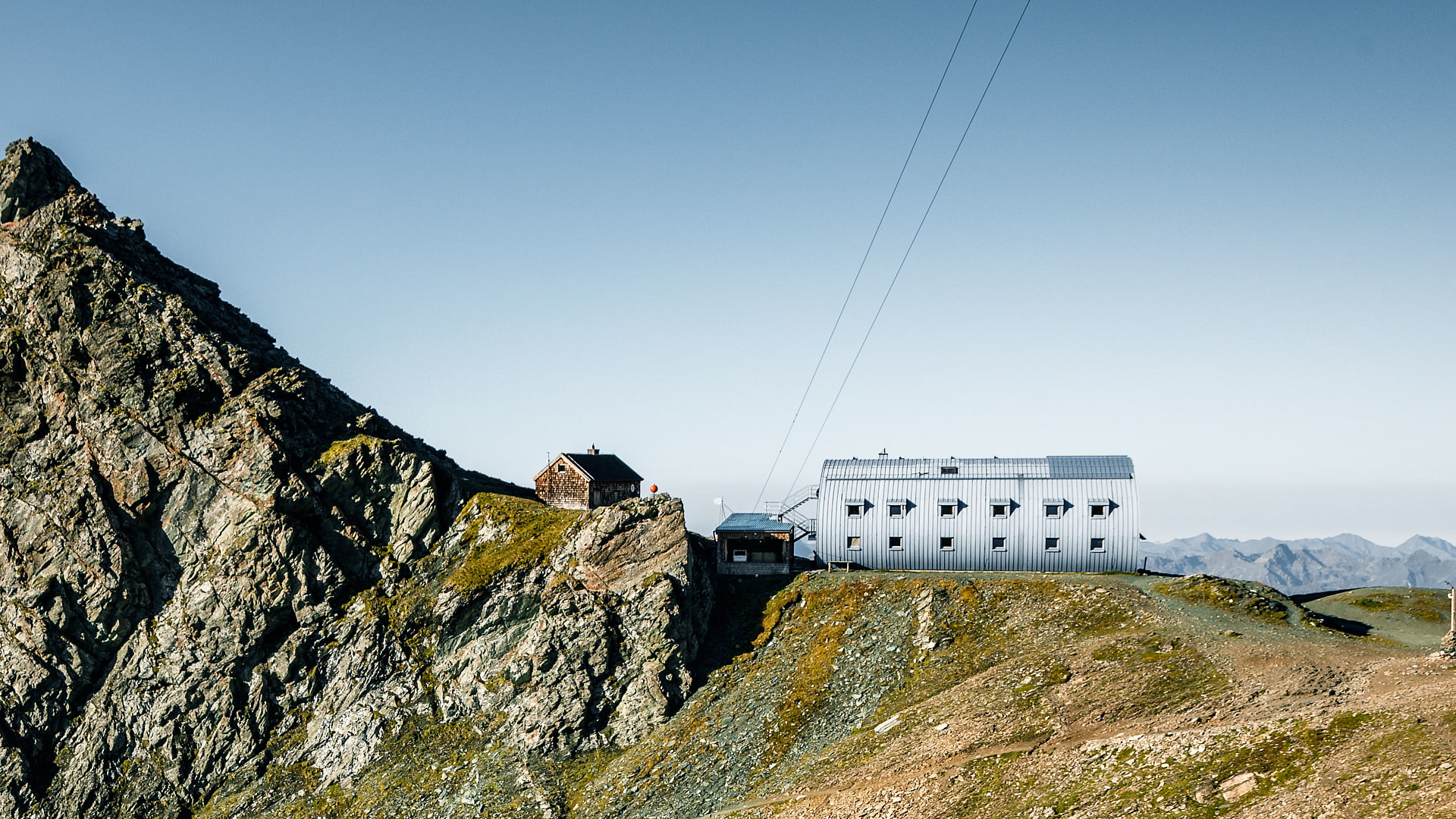
A hut at 2,802 m at the foot of the Großglockner above Kals, the usual overnight base for ascents by the Stüdlgrat and the normal Kals route.
Wild- & Erlebnispark Ferleiten
12.7 km away, in Fusch an der Großglocknerstraße
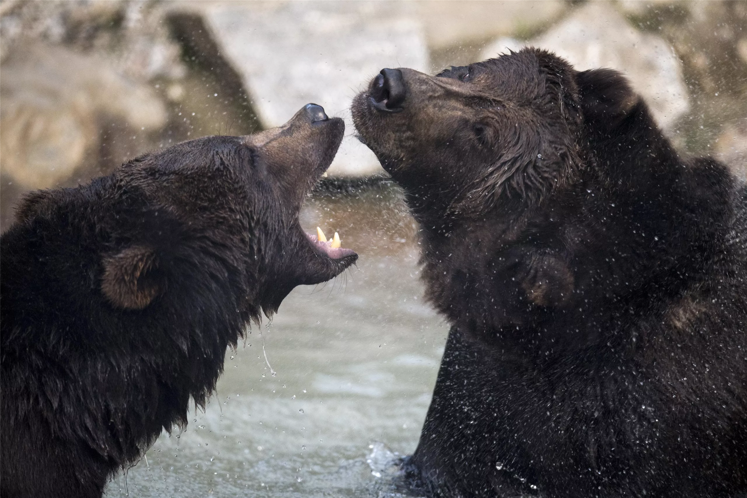
A game park at Ferleiten near Fusch, at the toll gate of the Grossglockner High Alpine Road, with alpine animals and a play area.
Nationalpark-Ausstellung Leben unter Wasser
12.9 km away, in Fusch an der Großglocknerstraße
A Hohe Tauern National Park exhibition at Fusch an der Glocknerstraße on life in mountain streams and lakes.
Kalser Stockmühlen
13 km away, in Kals am Großglockner
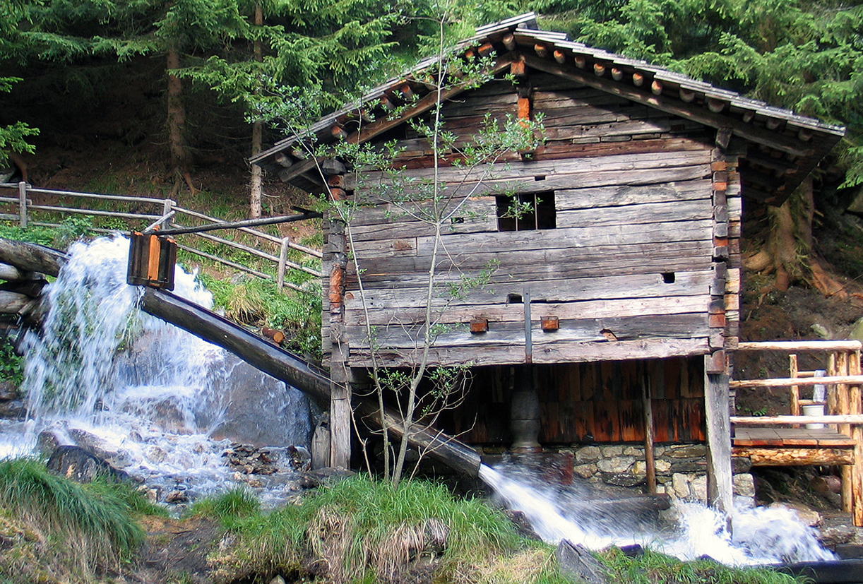
A group of small historic wooden watermills at Kals am Grossglockner, preserved along the stream and explained on a short walking path.
Kererhof
13.2 km away, in Kals am Großglockner
A farmstead in the meadows of Kals am Großglockner, listed among the valley's huts and typical of its mountain farms.
MoaAlm Mountain Retreat
13.2 km away, in Kals am Großglockner
A small lodge above Kals am Großglockner run as a mountain retreat, hosting guided walking and relaxation stays.
Wild & Erlebnispark Fusch/Ferleiten
13.3 km away, in Fusch an der Großglocknerstraße
A wildlife park at Ferleiten above Fusch, beside the toll gate of the Großglockner High Alpine Road, with native alpine animals.
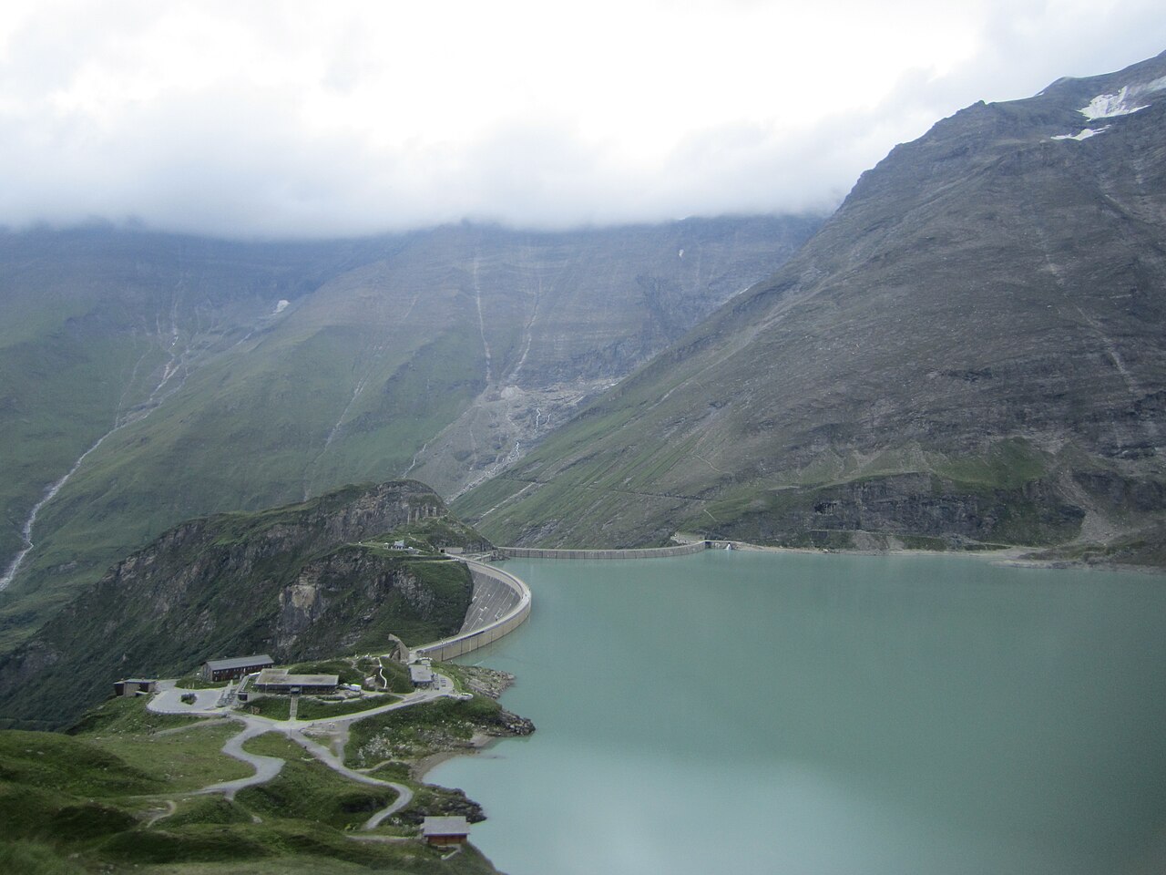
Kapruner Hochgebirgsstauseen
14.1 km away, in Kaprun
The high-altitude reservoirs Wasserfallboden and Mooserboden above Kaprun, part of the historic hydropower scheme, reached in summer by bus and an inclined lift.
Figeralm
14.9 km away, in Kals am Großglockner
An alm hut above Kals am Großglockner belonging to the Figerhof farm, set in the valley's summer grazing area.
Nothing of this kind in Heiligenblut am Großglockner.
Routes
18 from neighbouring places
Skitour Großglockner-Umrundung
Demanding ski circuit around the Großglockner from the Lucknerhaus, crossing the Obere Glocknerscharte and passing the Stüdlhütte; over 3,200 m of climbing in glaciated terrain.
- 20.0 km
- Distance
- 3 221 m
- Ascent
- 3 221 m
- Descent
- 10 h 51 min
- Duration
- 191
- Check-ins
Skitour Burgwartscharte 3.104m
Extended ski tour from the Lucknerhaus valley past the Lucknerhütte and Jörgenalm to a 3,104 m notch in the Schober group, crossing the Berger Törl on the way.
- 14.5 km
- Distance
- 1 443 m
- Ascent
- 1 443 m
- Descent
- 5 h 32 min
- Duration
- 65
- Check-ins
Wanderung zur Salmhütte
7.6 km away, in Kals am Großglockner
From the Lucknerhaus this route rounds high above the Ködnitz valley to the Salmhütte beneath the Großglockner, returning over the Glorerhütte and the Berger Törl.
- 14.5 km
- Distance
- 1 026 m
- Ascent
- 6 h 49 min
- Duration
- 57
- Check-ins
 Lucknerhaus 1 917 m
- Salmhütte 2 644 m
- Glorerhütte 2 651 m
 Berger Törl 2 651 m
- Huteralm 1 921 m
 Oberer Glatzsee 2 627 m
Skitour Glorer Hütte 2.642m
8.1 km away, in Kals am Großglockner
Ski tour from the Lucknerhaus in the Kalser Glocknertal through the Berger Törl to the Glorerhütte at 2,642 m, a saddle-top hut between the Glockner and Schober groups.
- 3.7 km
- Distance
- 732 m
- Ascent
- 732 m
- Descent
- 2 h 22 min
- Duration
- 43
- Check-ins
Wanderung zur Glorer Hütte
8.1 km away, in Kals am Großglockner
From the Lucknerhaus past the Huteralm and over the Berger Törl to the Glorerhütte, a pass hut on the Kals side of the Großglockner.
- 8.3 km
- Distance
- 737 m
- Ascent
- 4 h 38 min
- Duration
- 43
- Check-ins
Wanderung zur Lucknerhütte 2.241m
8.7 km away, in Kals am Großglockner
Easy hut walk in the Kalser Glocknertal, passing the Jörgenalm and Huteralm meadows on the way to the Lucknerhütte below Austria's highest peak, the Großglockner.
- 5.2 km
- Distance
- 326 m
- Ascent
- 2 h 14 min
- Duration
- 64
- Check-ins
E-Bike & Climb Großglockner 3.798m
8.7 km away, in Kals am Großglockner
The e-bike approach from Kals to the Lucknerhütte and Stüdlhütte, continuing on foot over the Adlersruhe to Austria's highest summit.
- 17.3 km
- Distance
- 1 929 m
- Ascent
- 4 h 25 min
- Duration
- 232
- Check-ins
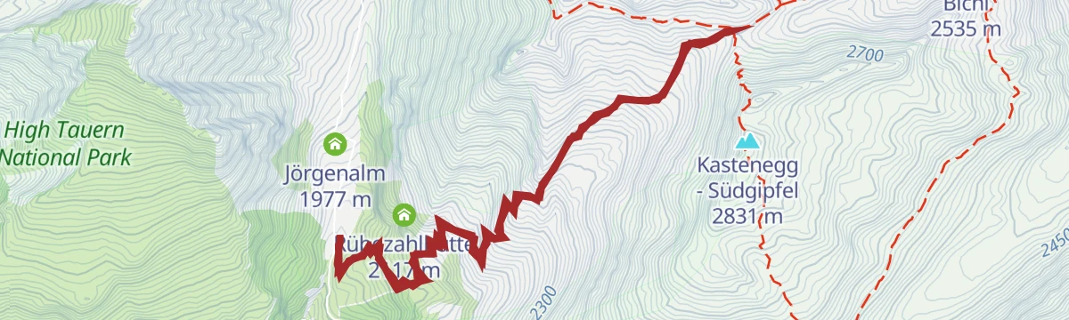
Lucknerhütte Nr. 152
8.7 km away, in Kals am Großglockner
A short track climb continuing above the Lucknerhaus, past the Jörgenalm huts to the refuge at 2,241 m in the Ködnitztal.
- 5.4 km
- Distance
- 331 m
- Ascent
- 52 min
- Duration
- 84
- Check-ins
Lucknerhausrunde Nr. 117
11.2 km away, in Kals am Großglockner
A forest-road circuit up the Ködnitztal from Kals, turning at the Lucknerhaus and the Huteralm below the Großglockner.
- 13.7 km
- Distance
- 657 m
- Ascent
- 1 h 51 min
- Duration
- 27
- Check-ins
Teischnitztal Nr. 113
11.7 km away, in Kals am Großglockner
A long forest-road climb from Kals into a side valley of the Großglockner group, topping out at the Pifang-Alm at 2,250 m.
- 18.2 km
- Distance
- 951 m
- Ascent
- 2 h 36 min
- Duration
- 2
- Check-ins
Glödis Klettersteig
13.9 km away, in Nußdorf-Debant
Secured south-east ridge route on the Glödis, the shapely rock pyramid of the Schober group, approached from the Lienzer Hütte in the Debanttal.
- 16.1 km
- Distance
- 230 m
- Ascent
- 6 h 28 min
- Duration
- 26
- Check-ins
Skitour Gridenkarköpfe 3.031m
8.1 km away, in Kals am Großglockner
Long ski tour from the Kals side over the Peischlachtörl into the Schober group, reaching a 3,031 m summit after nearly 13 km of skinning.
- 6.0 km
- Distance
- 1 166 m
- Ascent
- 1 166 m
- Descent
- 3 h 47 min
- Duration
- 8
- Check-ins
Böses Weibl
8.7 km away, in Kals am Großglockner
Summer route from the Lucknerhaus over the Peischlachtörl into the Schober group, climbing to a 3,119 m viewpoint counted among the region's more attainable three-thousanders.
- 14.1 km
- Distance
- 1 274 m
- Ascent
- 7 h 60 min
- Duration
- 36
- Check-ins
Skitour Stüdlhütte 2.802 m
8.7 km away, in Kals am Großglockner
Winter ascent from the Lucknerhaus at the Glocknerwinkel up past the Lucknerhütte to the Stüdlhütte, a popular staging point for ski mountaineering on the Großglockner.
- 4.8 km
- Distance
- 880 m
- Ascent
- 880 m
- Descent
- 2 h 53 min
- Duration
- 101
- Check-ins
Stüdlhütte 2.802 m
8.7 km away, in Kals am Großglockner
From the Glocknerwinkel car park on the Kalser Glocknerstraße the trail climbs past the Lucknerhütte to the Stüdlhütte at 2,802 m, base camp for Großglockner aspirants.
- 9.3 km
- Distance
- 876 m
- Ascent
- 5 h 27 min
- Duration
- 78
- Check-ins
Themenweg "Glocknerspur – BergeDenken"
8.9 km away, in Kals am Großglockner
Short theme loop at the Lucknerhaus in Kals that pairs Großglockner views with trailside stations reflecting on mountains, passing the old Jörgenalm buildings.
- 1.9 km
- Distance
- 106 m
- Ascent
- 45 min
- Duration
- 51
- Check-ins
Bike & Hike Figerhorn 2.743m
11.1 km away, in Kals am Großglockner
A steep paved climb out of Kals am Großglockner to the Lucknerhaus, the riding half of a bike-and-hike ascent of the Figerhorn.
- 19.4 km
- Distance
- 1 428 m
- Ascent
- 3 h 34 min
- Duration
- 36
- Check-ins
Lana-Tembler Nr. 115
13.6 km away, in Kals am Großglockner
A short and easy forest-road link on the Kals valley floor, running between the village lifts and the Temblerhof.
- 5.0 km
- Distance
- 166 m
- Ascent
- 36 min
- Duration
- 1
- Check-ins
Moaalmstraße Nr. 114
13.1 km away, in Kals am Großglockner
A forest-road climb from the national park information point in Kals up to the Moaalm on the slopes above the valley.
- 11.0 km
- Distance
- 510 m
- Ascent
- 1 h 27 min
- Duration
- 4
- Check-ins
Staumauerklettersteig MOBO107
14 km away, in Kaprun
A via ferrata traversing the crest and face of the Mooserboden dam wall high above Kaprun, an unusual mix of concrete and rock with the reservoir far below.
- 740 m
- Distance
- 72 m
- Ascent
- 34 min
- Duration
- 34
- Check-ins
No routes of this kind in Heiligenblut am Großglockner yet.
The region's own picks

Featured route
Skitour Großglockner-Umrundung
Demanding ski circuit around the Großglockner from the Lucknerhaus, crossing the Obere Glocknerscharte and passing the Stüdlhütte; over 3,200 m of climbing in glaciated terrain.
Planning a trip to Heiligenblut am Großglockner?
Everything else Carinthia has, in one place


Take Heiligenblut am Großglockner with you into the mountains
Every route on this page with 3D terrain, GPX navigation and offline maps — including the valleys with no signal.
Data sources
- Official website: osttirol.com ↗
- Routes and highlights: Osttirol Tourismus, Nationalpark, Zell am See-Kaprun Tourismus, Salzburgerland, Großarltal Tourismus
- Published as open data by the tourist boards named above.
- Region summary generated from the board's own material.
