
Curated by Retzer Land
Hardegg
Austria's smallest town, on the Thaya where the river cuts a wooded gorge along the Czech border, the gateway to the Thayatal national park.
Photo: Martin Vavřík
- 3Highlights
- 16Routes
- Featured summit · Max-Plateau
Highlights
11 from neighbouring places
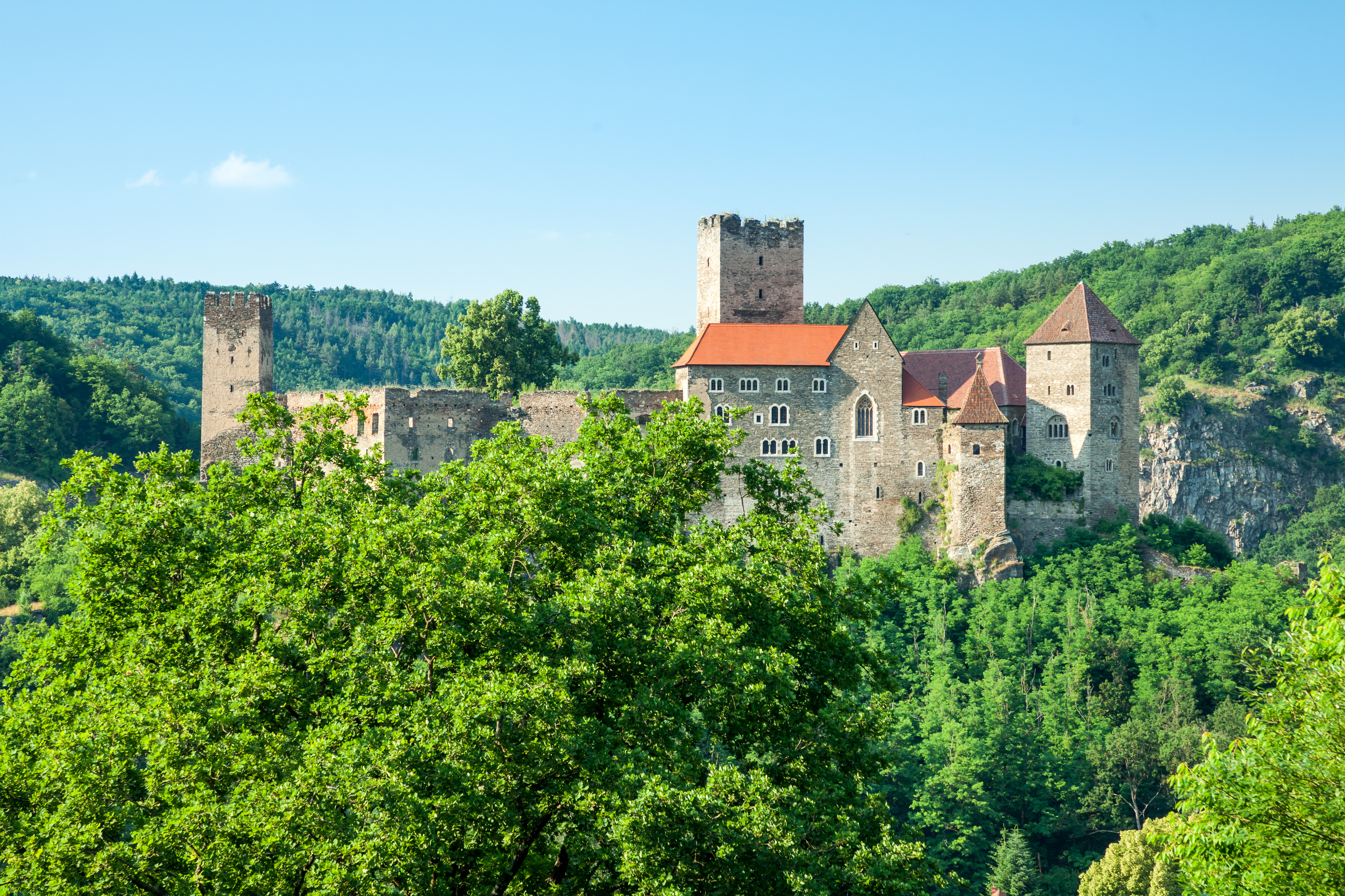
Burg Hardegg
A castle above the Thaya at Hardegg, the smallest town in Austria, looking across the river into the Czech Republic.
Erlebnis Perlmutt Manufaktur
A workshop at Felling near Hardegg where mother-of-pearl buttons and ornaments are still made by hand.
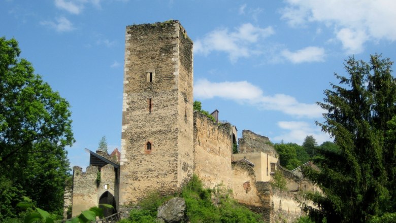
Ruine Kaja
A castle ruin above the Kaja stream near Hardegg, on the edge of the Thayatal National Park.
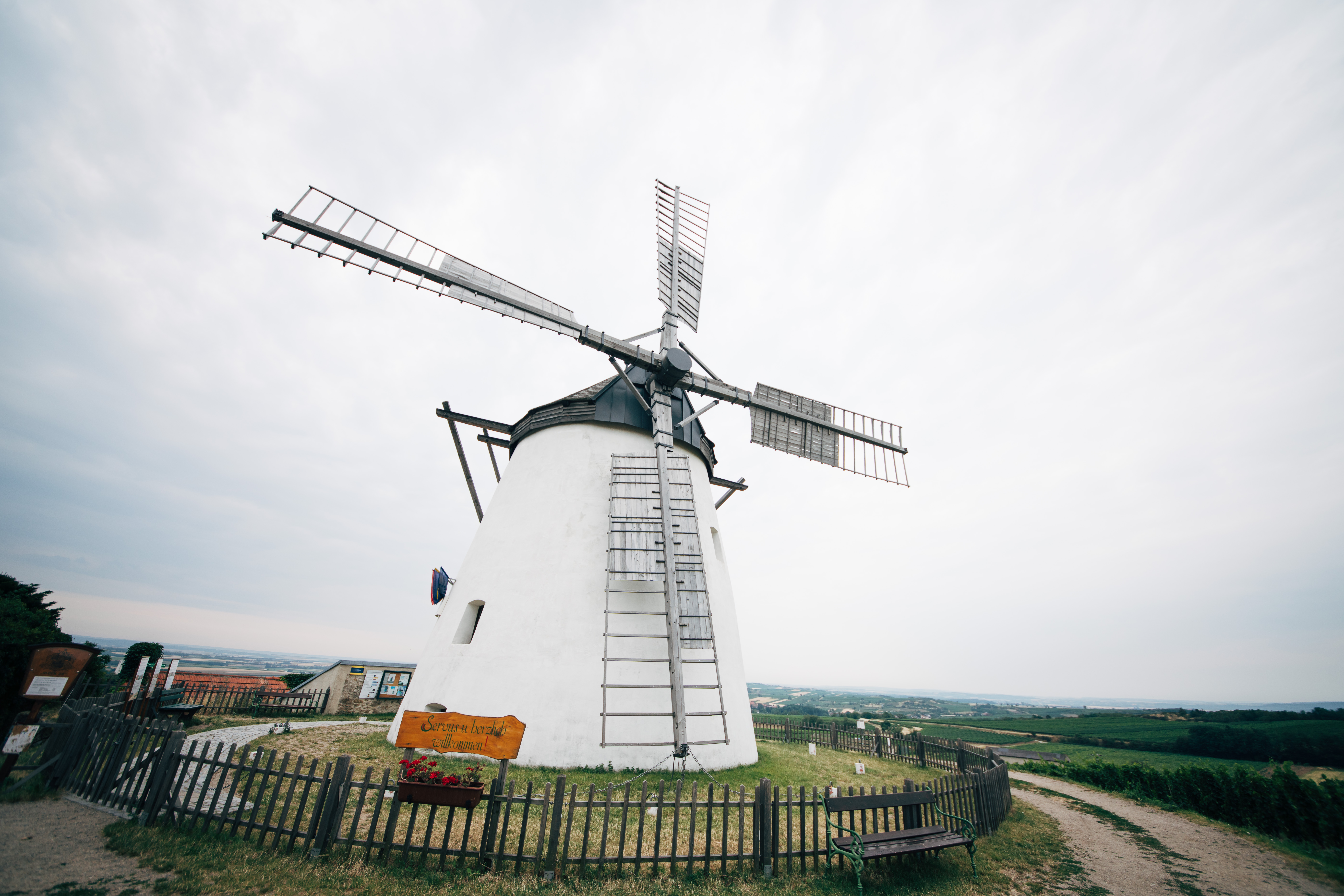
Retzer Windmühle
10 km away, in Retz
A windmill on the hill above Retz, one of the few left in Austria and still fitted with its sails.
Pfarrkirche Oberretzbach
10.1 km away, in Retzbach
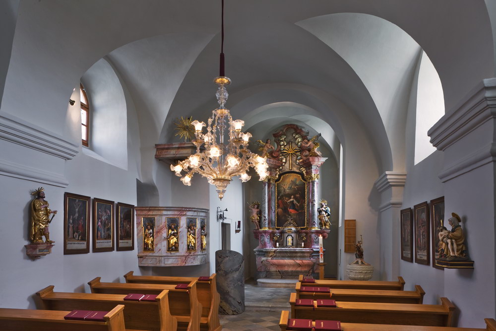
The parish church of Oberretzbach, one of the villages of Retzbach near Retz.
Pfarrkirche Mitterretzbach
10.4 km away, in Retzbach
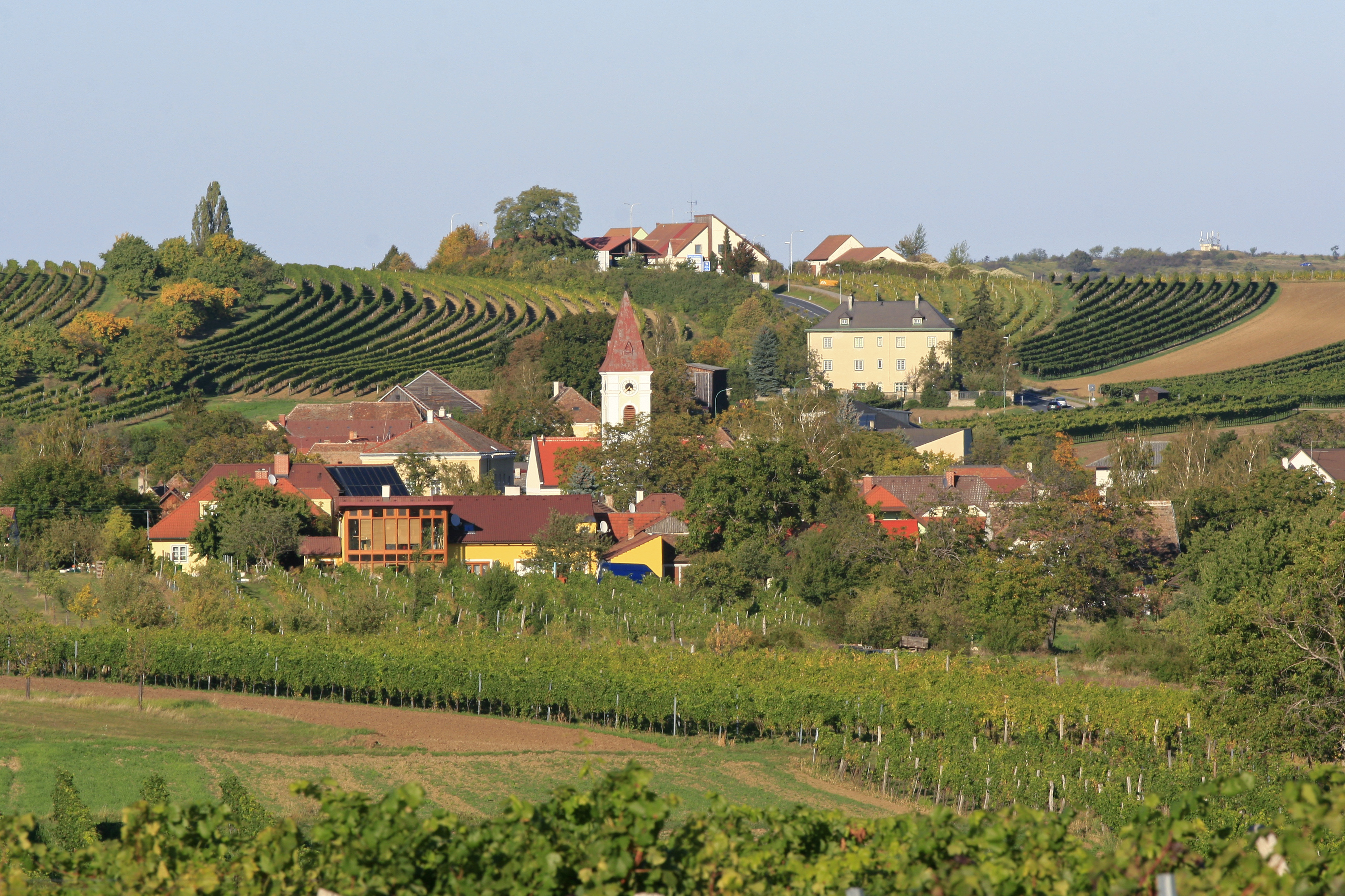
The parish church of Mitterretzbach, in the wine country of the northern Weinviertel.
Museum Retz und Südmährische Galerie
10.7 km away, in Retz
The town museum of Retz, together with a gallery on South Moravia across the nearby border.
Retzer Erlebniskeller
10.8 km away, in Retz
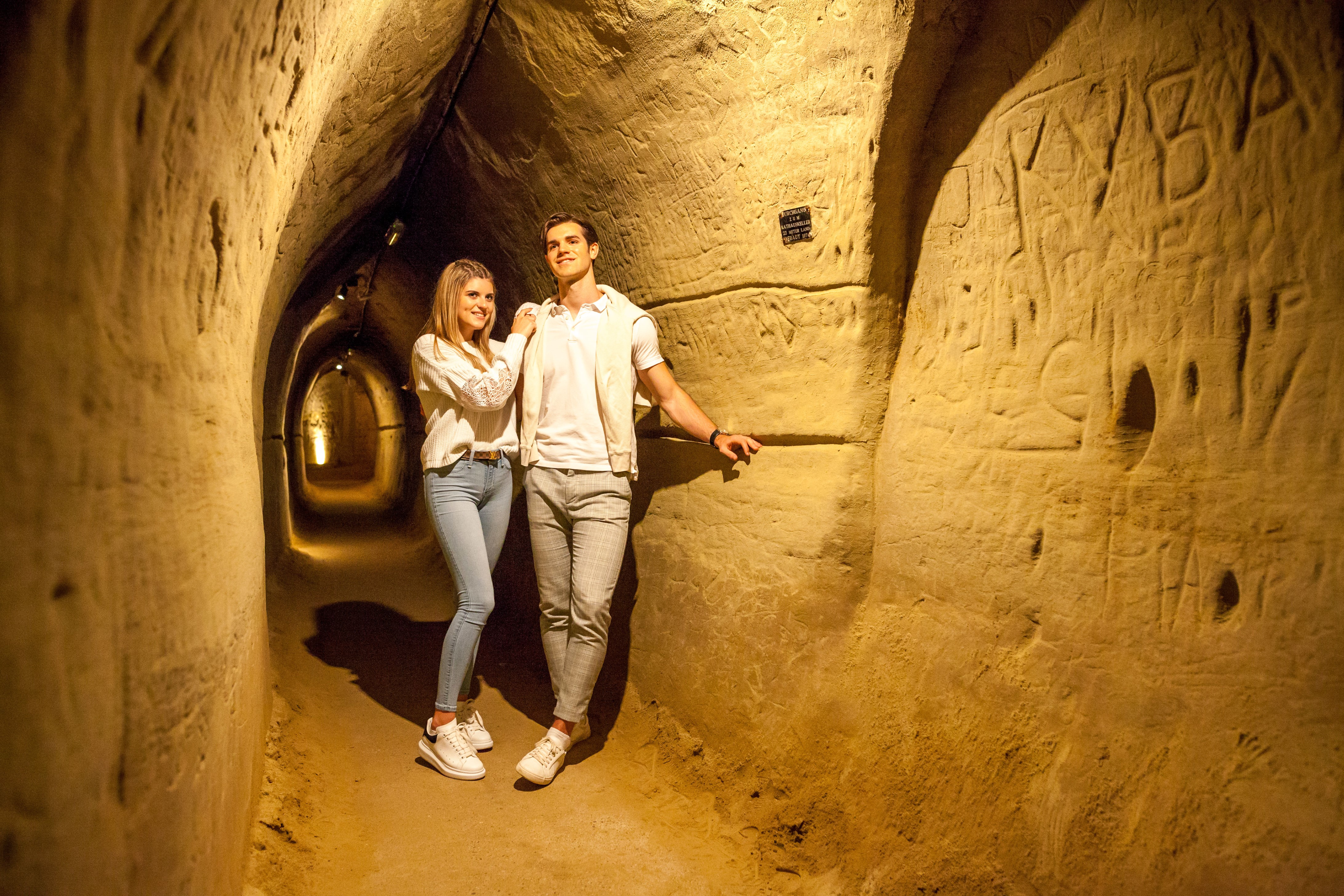
A guided route through the cellars under Retz, the largest historic wine cellar system in Austria.
Kirche St. Jakob Unterretzbach
13.5 km away, in Retzbach
The church of St. James at Unterretzbach, in the Retzbach municipality near the Czech border.
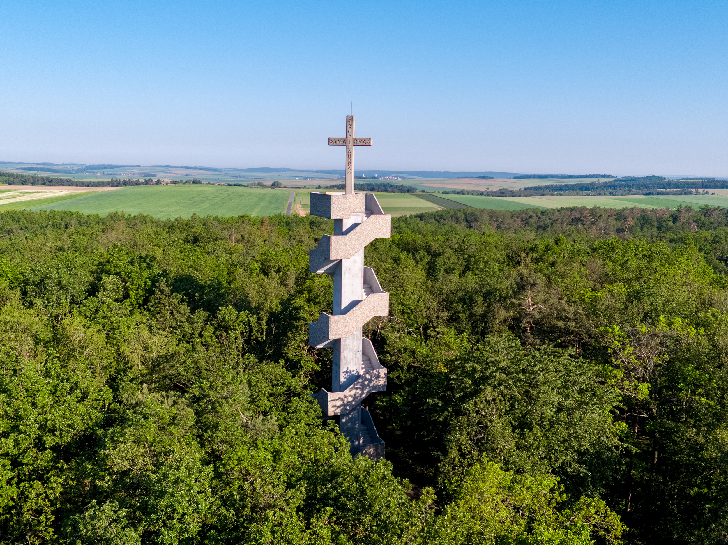
Europawarte Waitzendorf
8.9 km away, in Schrattenthal
A lookout tower at Waitzendorf near Schrattenthal, with views over the Weinviertel and into Moravia.
Kirche Waitzendorf Hl. Dreifaltigkeit
10.1 km away, in Schrattenthal
A church of the Holy Trinity at Waitzendorf, a village of Schrattenthal in the Weinviertel.
Kirche Obermarkersdorf St. Nikolaus und Urban
10.4 km away, in Schrattenthal
A church dedicated to St. Nicholas and St. Urban at Obermarkersdorf, a wine village near Schrattenthal.
Kirche Schrattenthal St. Augustinus
13 km away, in Schrattenthal
The church of St. Augustine at Schrattenthal, in the wine country north-west of Retz.
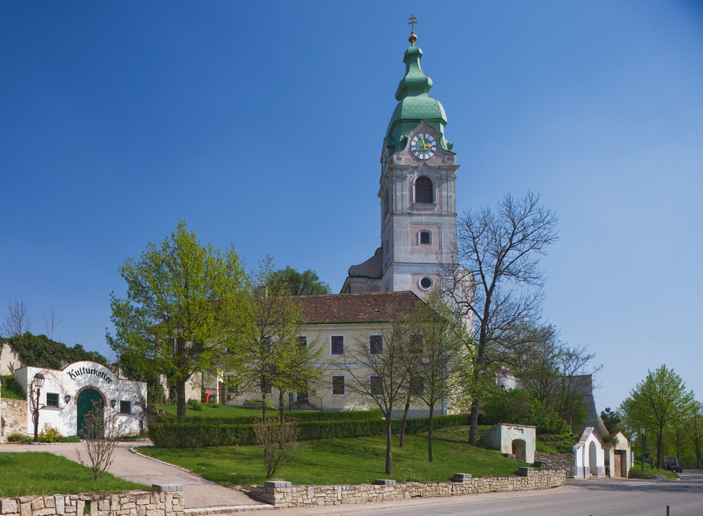
Schloss Schrattenthal
13.1 km away, in Schrattenthal
A castle in Schrattenthal, one of the smallest towns in Austria, in the wine country north-west of Retz.
 Historic site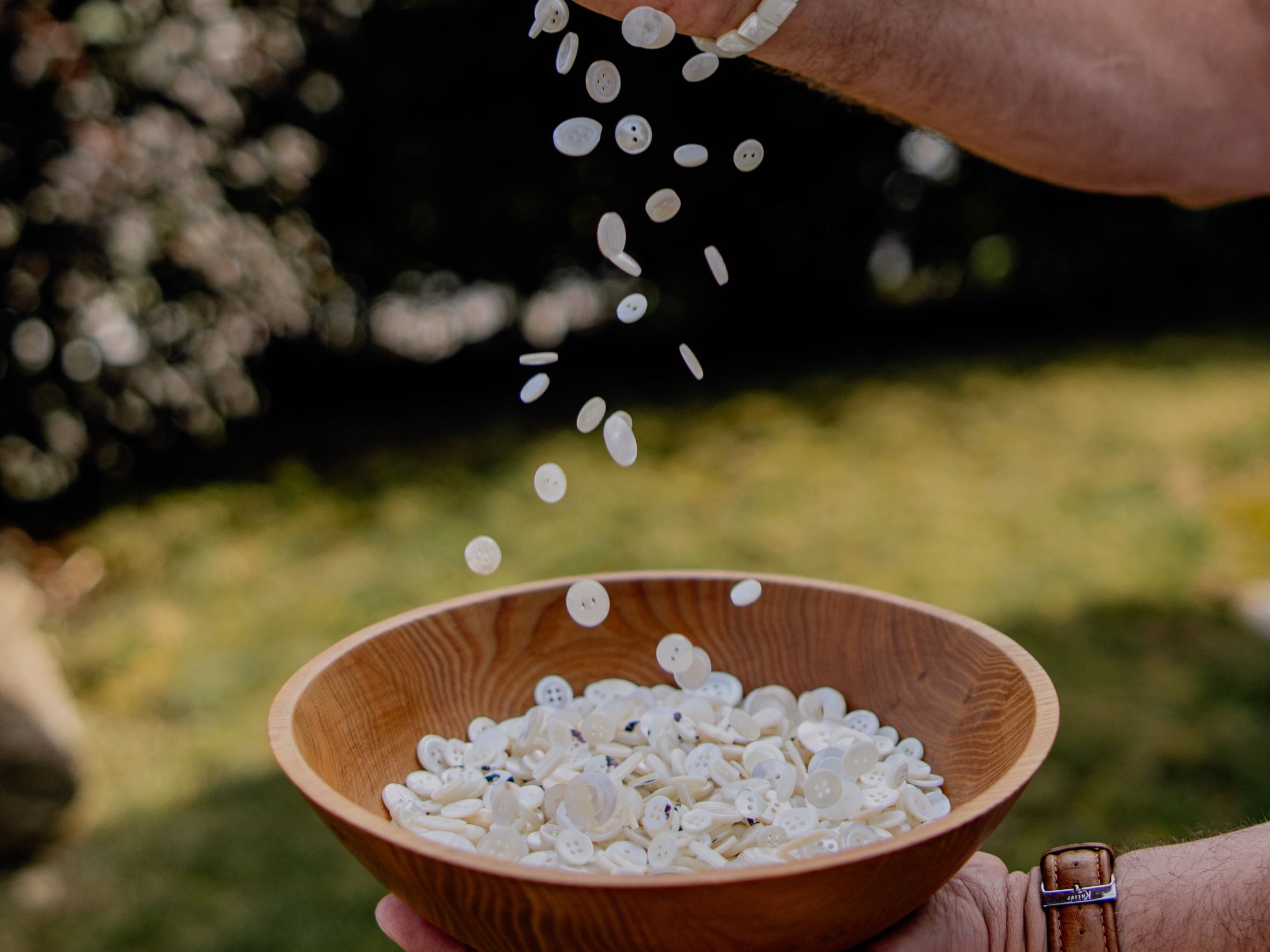
 Viewpoint
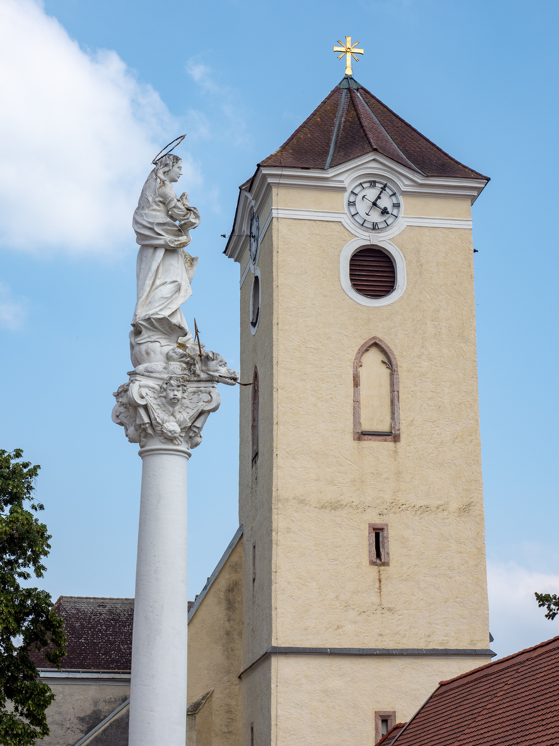
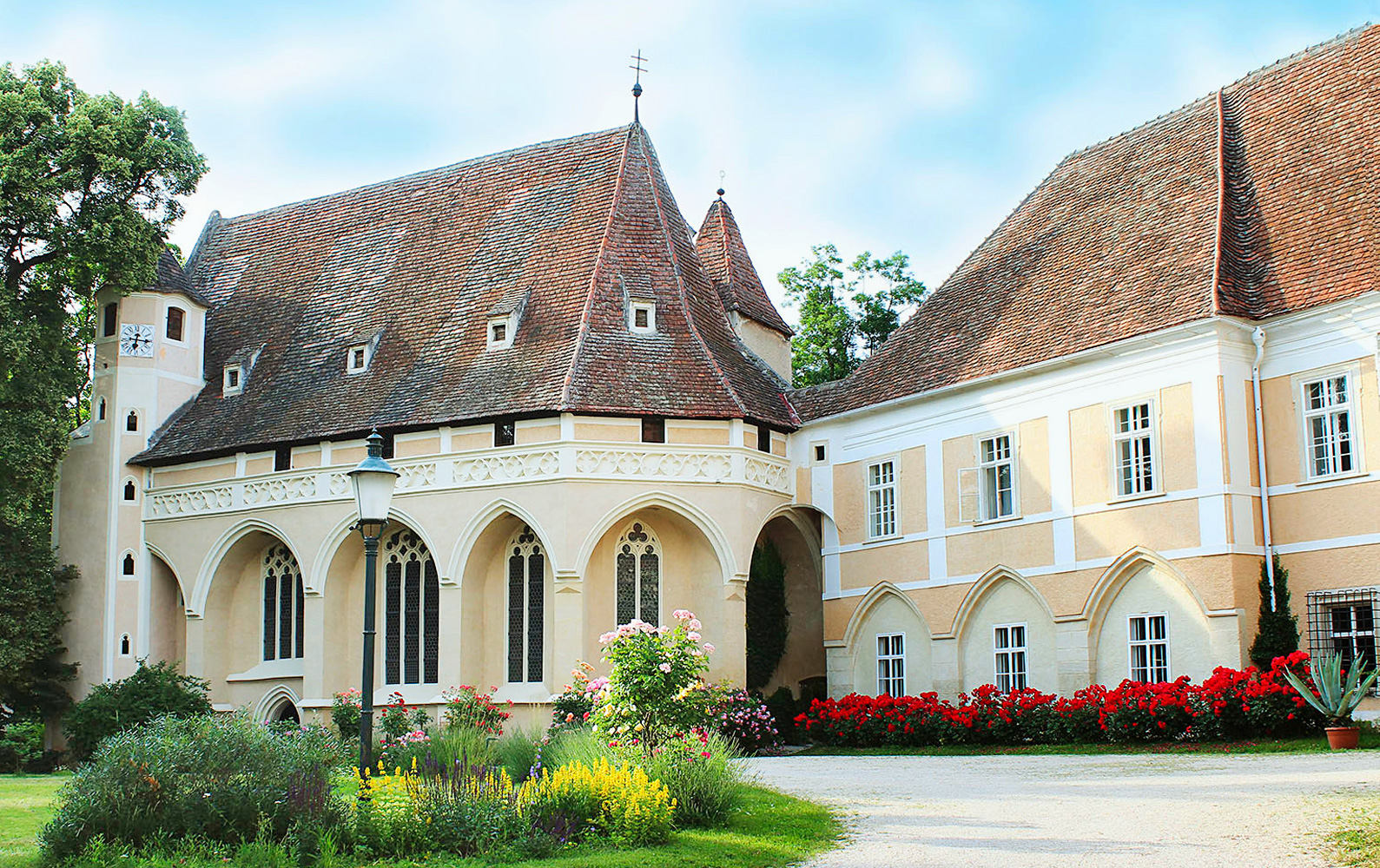
Nothing of this kind in Hardegg.
Routes
Hardegger Rundwanderweg
A 4.5 km circuit at Hardegg with 154 m of ascent, up to the Max-Plateau and past the Xandlhütte.
- 4.5 km
- Distance
- 154 m
- Ascent
- 1 h 26 min
- Duration
Einsiedlerweg und Wildkatzenwanderweg
A 7.3 km pair of linked trails from the Nationalparkhaus Thayatal at Hardegg, with 203 m of ascent.
- 7.3 km
- Distance
- 203 m
- Ascent
- 2 h 12 min
- Duration
Rundwanderweg Hardegg
A 22.5 km circuit around Hardegg in the Thayatal, with 460 m of ascent.
- 22.5 km
- Distance
- 460 m
- Ascent
- 6 h 24 min
- Duration
Iron Curtain Trail
A signposted long-distance route from Gmünd to Bratislava along the former border, passing the Blockheide, Slavonice, Mikulov and Petržalka.
- 402.1 km
- Distance
- 58 m
- Ascent
- 35 h 42 min
- Duration
- 3
- Check-ins
Hardegger Warte
A 5.6 km walk from Hardegg up to the Warte, with 155 m of ascent.
- 5.6 km
- Distance
- 155 m
- Ascent
- 1 h 41 min
- Duration
Eisleiten
A 12.9 km cross-border round from Hardegg with 294 m of ascent, calling at the Podyjí national park information centre.
- 12.8 km
- Distance
- 294 m
- Ascent
- 3 h 44 min
- Duration
Kamp-Thaya-March-Radroute
A stage of the long-distance route linking Krems with Stopfenreuth, following the March past Zwerndorf and the ponds of the Heuparz.
- 425.2 km
- Distance
- 776 m
- Ascent
- 38 h 26 min
- Duration
- 3
- Check-ins
 Steinbigl 507 m
- Parapluieberg 367 m
- Hofinger Bühel 421 m
 March Thaya Zentrum 154 m
 Anlandebecken 6 153 m
- Anlandebecken 2 153 m
- +14
Hennerweg
A level 2 km path from the Nationalparkhaus Thayatal at Hardegg, with barely any climbing.
- 2.0 km
- Distance
- 21 m
- Ascent
- 32 min
- Duration
Merkersdorfer Rundwanderweg
A 9.8 km circuit from Merkersdorf at Hardegg, with 177 m of ascent.
- 9.8 km
- Distance
- 177 m
- Ascent
- 2 h 44 min
- Duration
6 Städte Radtour
A long border loop from the main square in Retz linking six historic towns in Austria and Moravia, among them Znojmo, Vranov and Hardegg.
- 96.8 km
- Distance
- 84 m
- Ascent
- 8 h 40 min
- Duration
Kajaweg
A 1.1 km path at Hardegg leading over to Kaja, flat and the shortest waymarked walk in the area.
- 1.1 km
- Distance
- 26 m
- Ascent
- 19 min
- Duration
Ruine Neuhäusl
An 11.8 km walk from Hardegg out to the ruins of Neuhäusl, with 254 m of ascent.
- 11.8 km
- Distance
- 254 m
- Ascent
- 3 h 23 min
- Duration
KTM Etappe 5: Drosendorf
The fifth stage of the KTM route, from Retz over the Parapluieberg to Drosendorf on the Thaya.
- 43.0 km
- Distance
- 419 m
- Ascent
- 4 h 13 min
- Duration
Thayatalweg
A 9.4 km route along the Thaya at Hardegg, with 196 m of ascent.
- 9.4 km
- Distance
- 196 m
- Ascent
- 2 h 41 min
- Duration
Nationalpark Thayatal Radweg
A cross-border loop from the national park centre at Hardegg into the Czech Podyjí, passing its information centre and riverside campsites.
- 28.2 km
- Distance
- 452 m
- Ascent
- 2 h 55 min
- Duration
Reblausexpress Radweg
A ride between the walled town of Drosendorf and Retz, running beside the railway line through small villages such as Langau and Hofern.
- 50.3 km
- Distance
- 294 m
- Ascent
- 4 h 44 min
- Duration
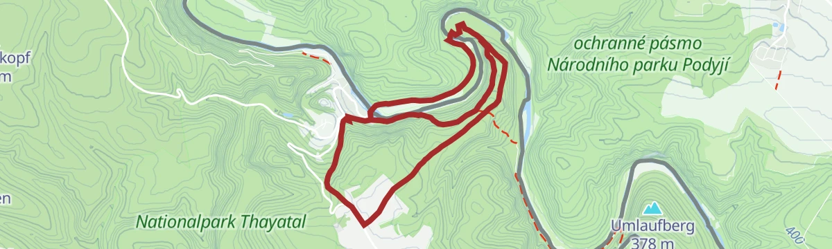


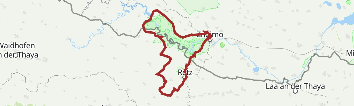
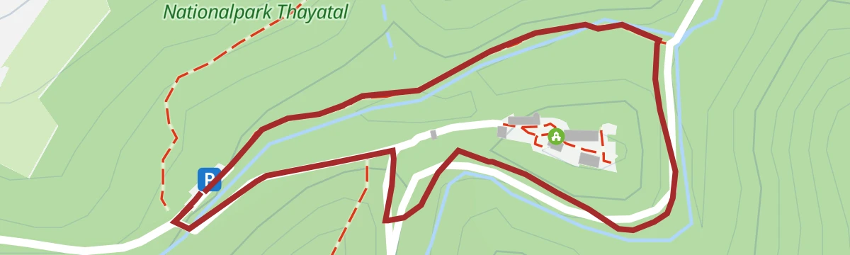


No routes of this kind in Hardegg yet.
The region's own picks
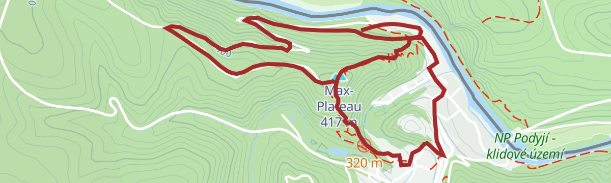
Featured route
Hardegger Rundwanderweg
A 4.5 km circuit at Hardegg with 154 m of ascent, up to the Max-Plateau and past the Xandlhütte.
Planning a trip to Hardegg?
Everything else Lower Austria has, in one place


Take Hardegg with you into the mountains
Every route on this page with 3D terrain, GPX navigation and offline maps — including the valleys with no signal.
Data sources
- Official website: retzer-land.at ↗
- Routes and highlights: Retzer Land
- Published as open data by the tourist boards named above.
- Region summary generated from the board's own material.
