
- 15Highlights
- 7Routes
Highlights
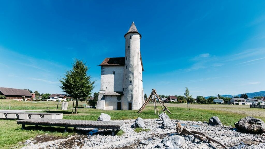
Textildruckmuseum Mittelweiherburg
Block-printing and engraving in a fabric works bought by Melchior Jenny in 1838 and closed in 1880 after a Dorfbach water dispute.
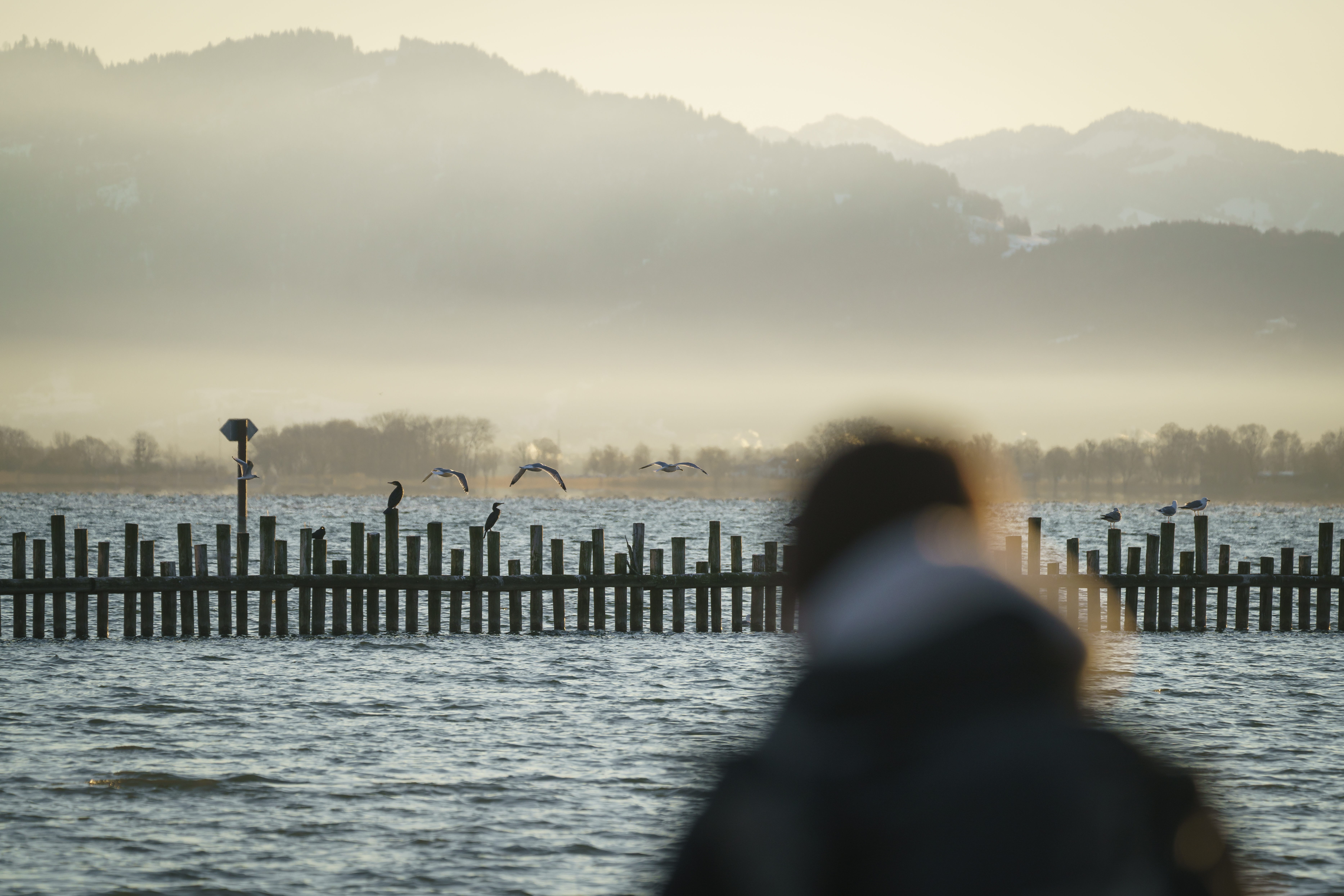
Birdwatching im Rheindelta am Bodensee
A birdwatching ground in the Rheindelta known well beyond Vorarlberg, where whooper swans winter on the open water.
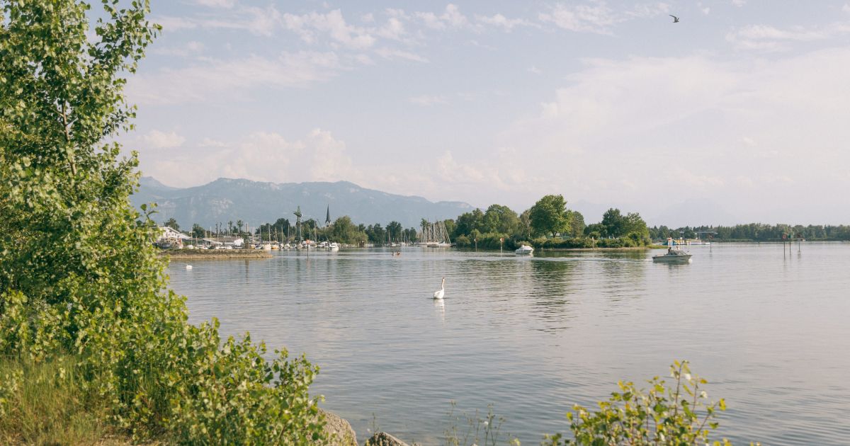
Grüner Damm
An embankment closing the Binnenbecken opposite the lido, with bathing and grilling spots and open views across the water.
Funworld Hard
A leisure centre in Hard with bowling, laser tag and billiards under one roof.
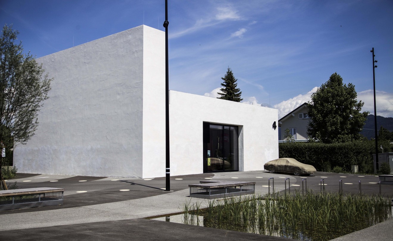
Galerie Maximilian Hutz
Contemporary Austrian and international art from a gallery founded in 2011 and based on In der Wirke in Hard since 2016.
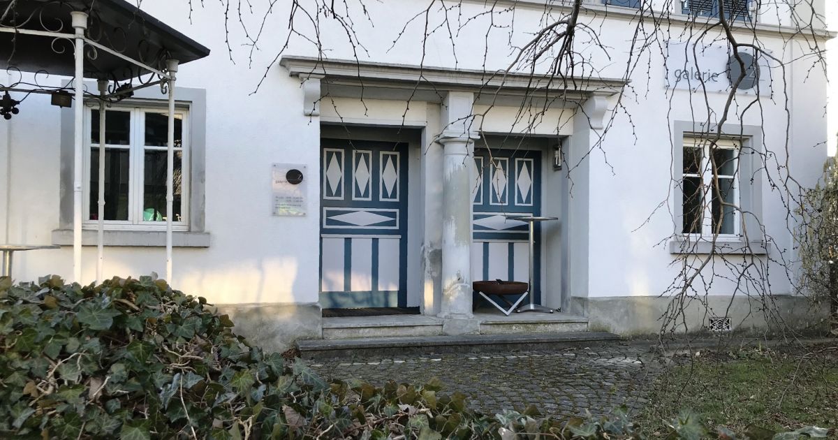
Galerie.Z
A gallery in the Bürgerhaus on the Landstraße, showing drawings and, in particular, works on paper.
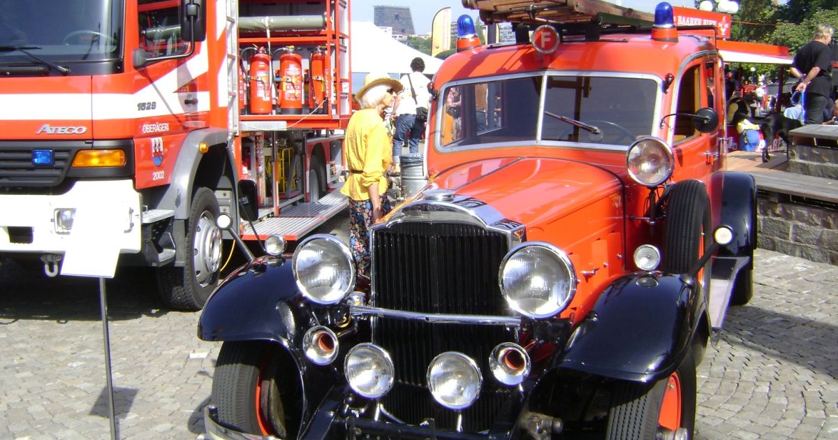
Museum des Feuerwehr-Oldtimer-Vereins Hard
Every former engine of the Hard fire brigade kept in running order, with nearly 70 years of equipment alongside them.
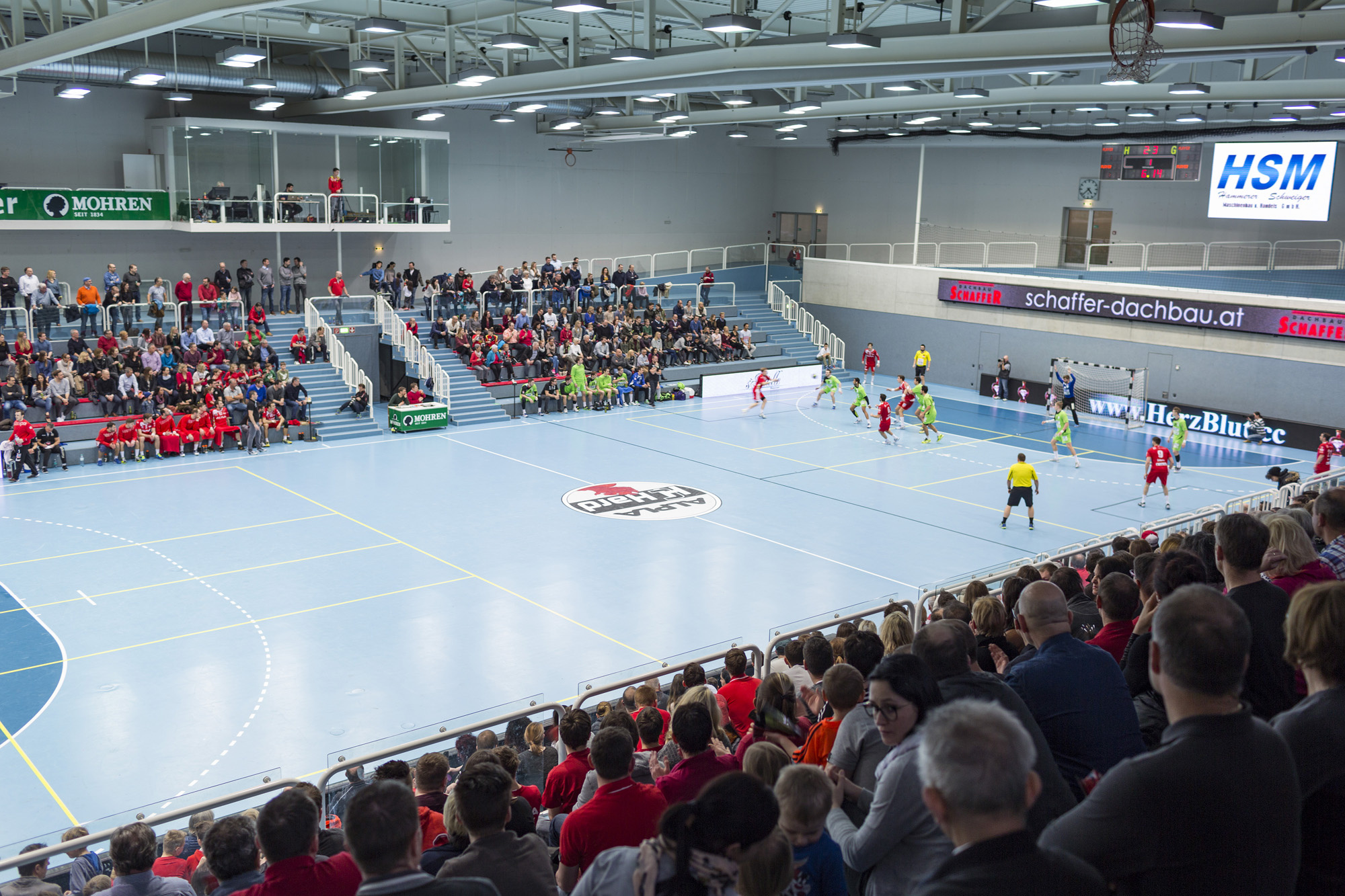
Sporthalle am See
The sports hall of Hard, close to the Lake Constance shore, used for club and school sport.
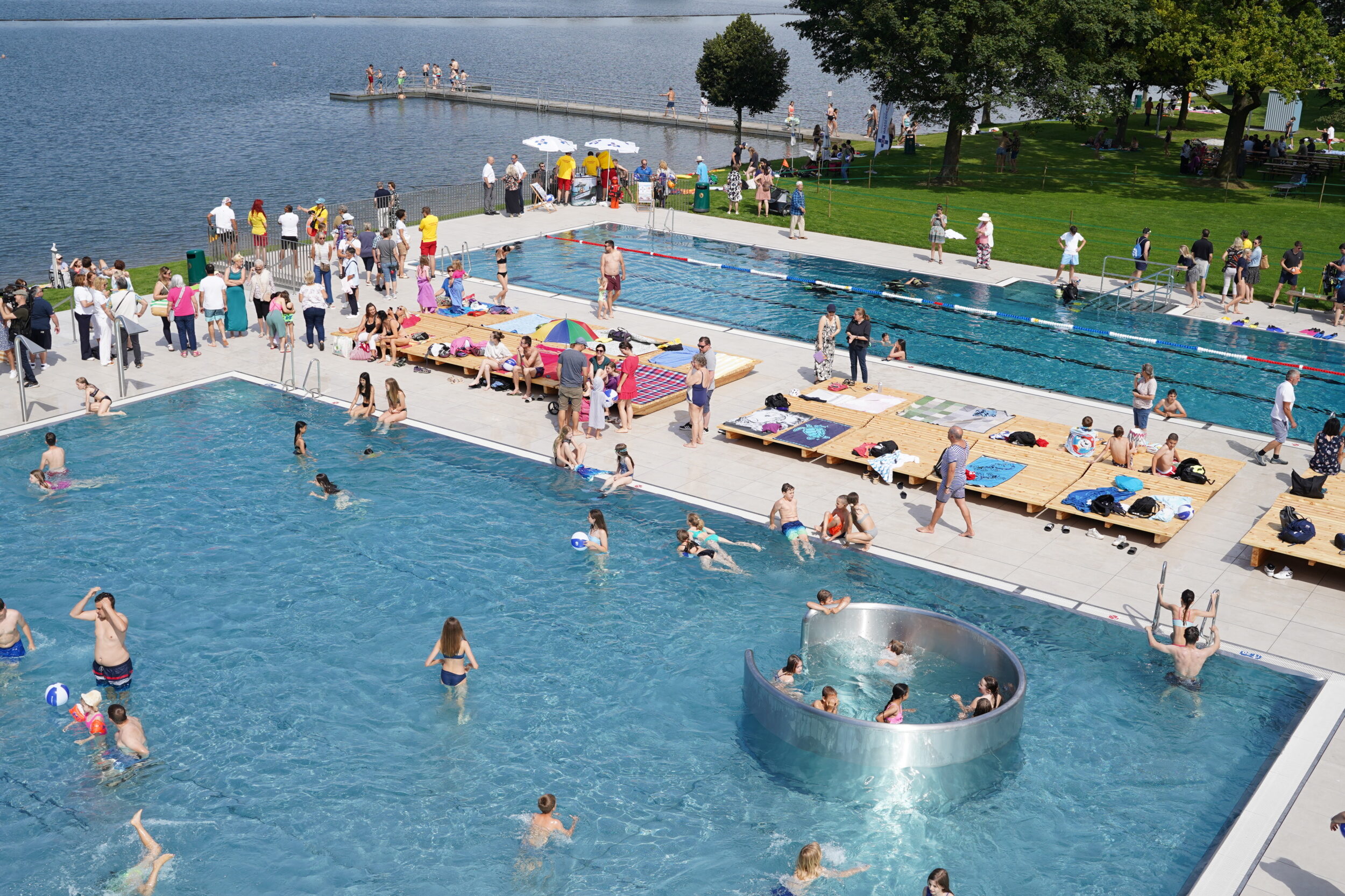
Strandbad Hard
Lake swimming under mature trees, with slides, a toddler pool and beach volleyball courts on the Bodensee shore.
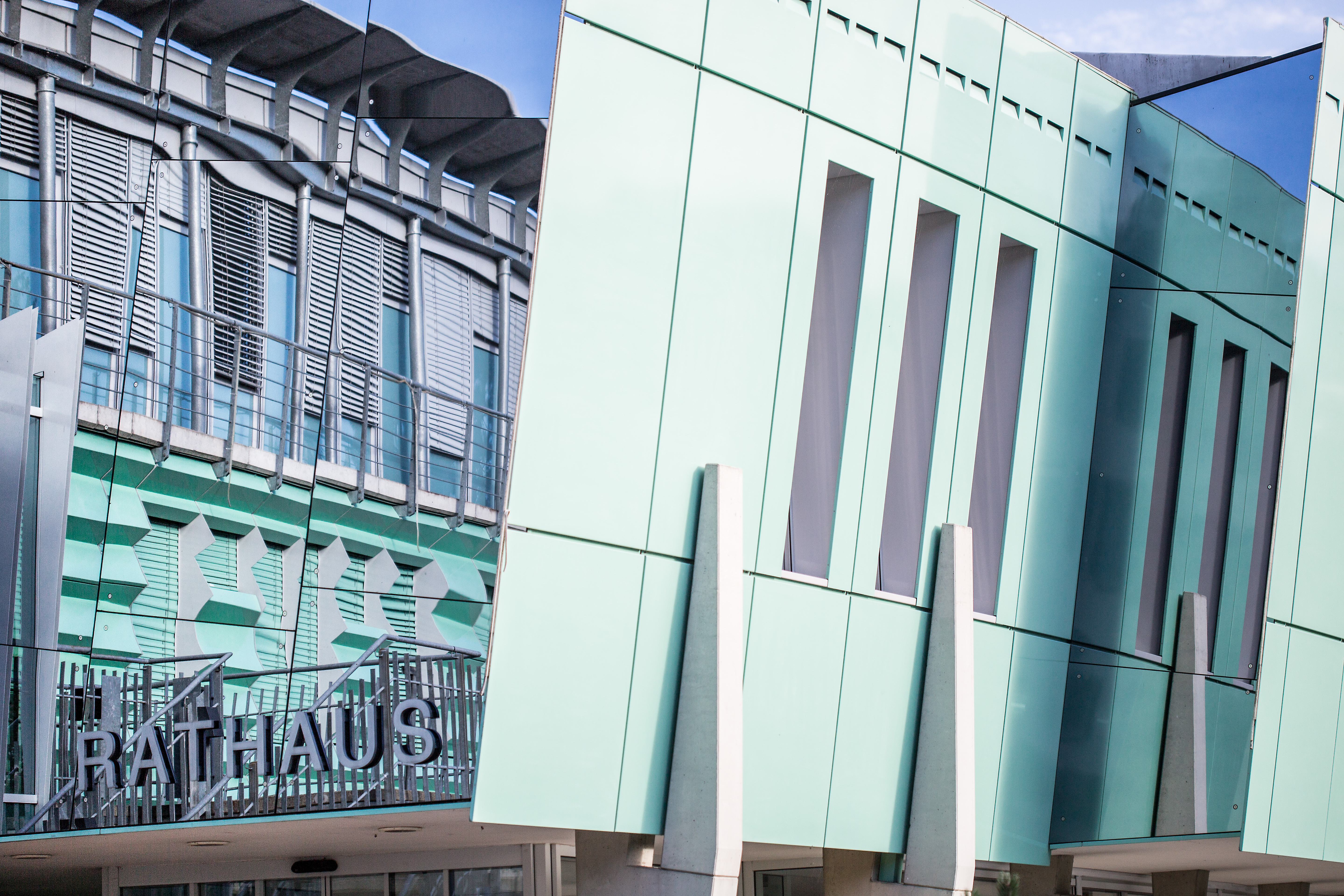
Rathaus Hard
A town hall by Albin Arzberger, Thomas Klas and Christian Lässer, shaped less like an office than a ship heading for the horizon.
Spannrahmen Hard
A production hall of the former Wirkerei Wolff knitting mill, now an events venue that keeps its industrial fabric visible.
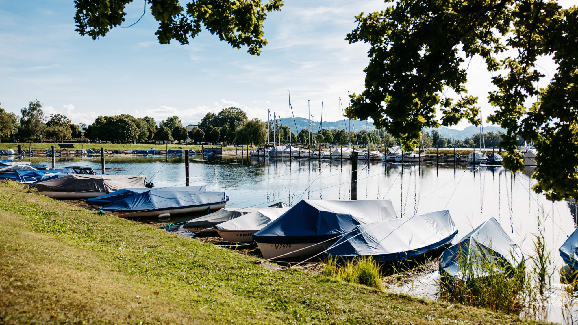
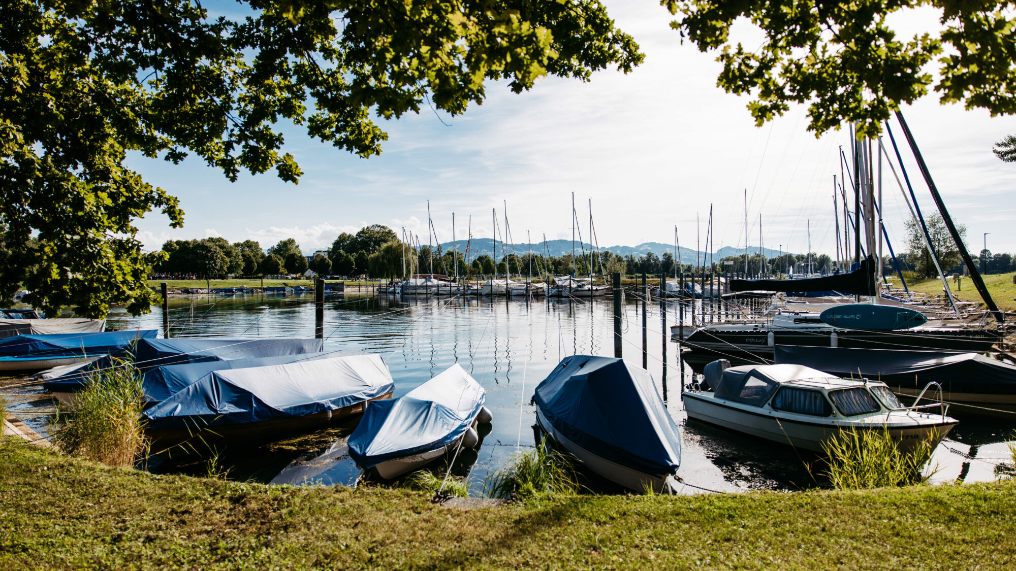
Harder Hafen
Berth of the Jugendstil paddle steamer Hohentwiel and the Art Deco motor ship Oesterreich on the Hard lakefront.
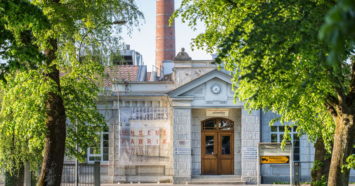
Kammgarn Kulturwerkstatt
A cultural venue in the disused Schoeller mill, running music, theatre, cabaret and children's programmes since 1996.
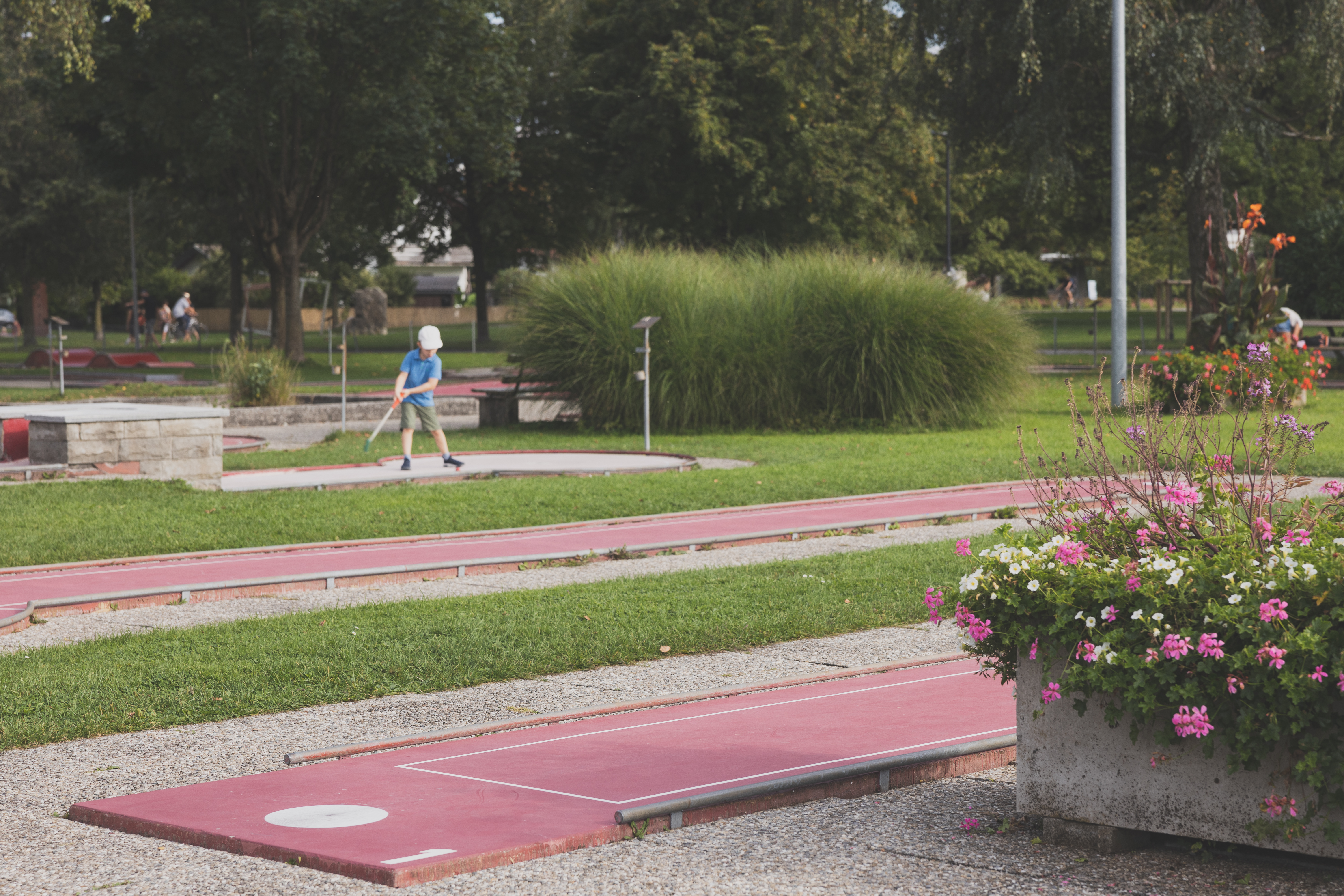
Minigolfplatz Hard
Minigolf at the harbour, about as close to the Bodensee as a course can be laid.
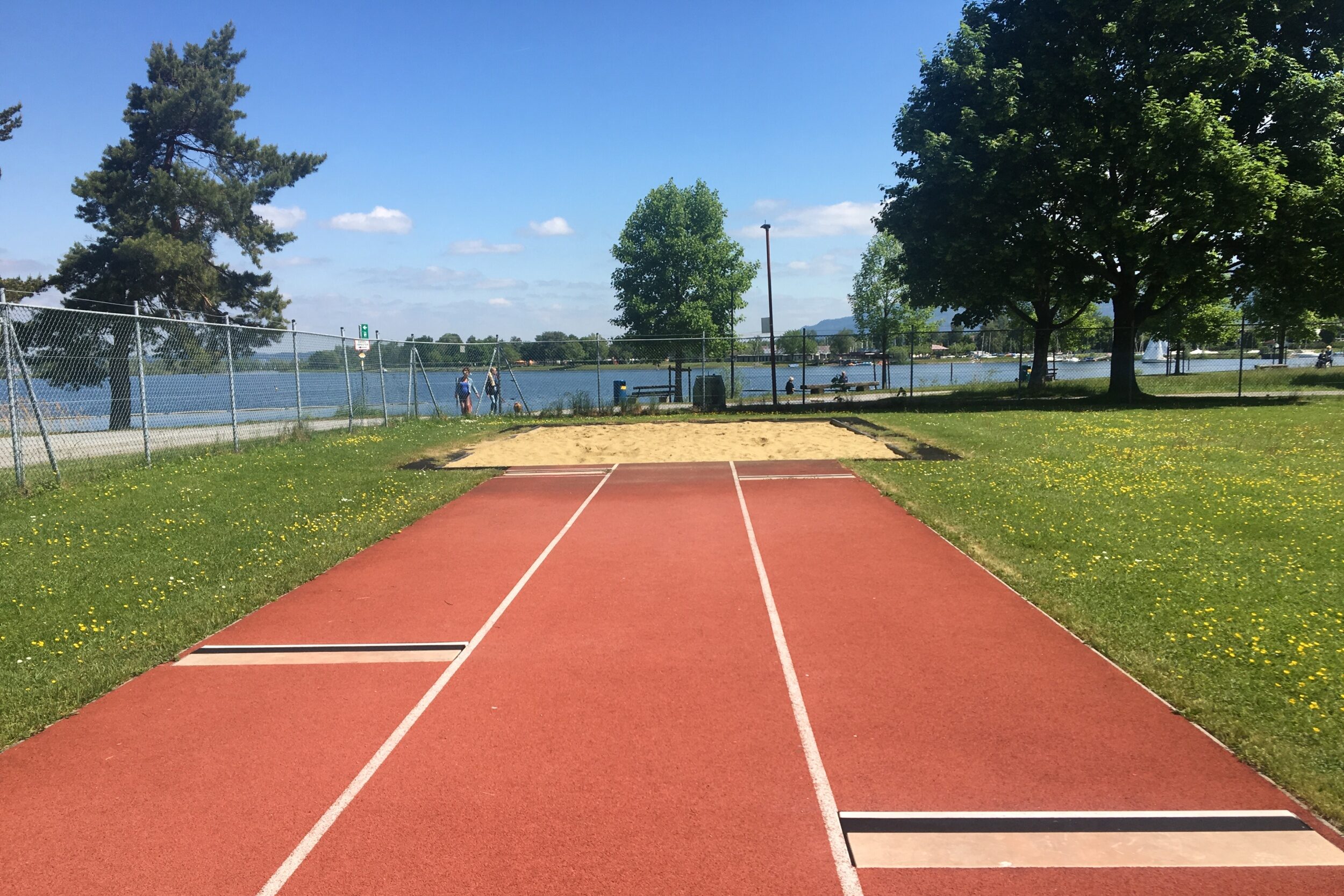
Sportanlagen am See
The sports grounds of Hard by Lake Constance, with pitches and courts used by local clubs.
 Viewpoint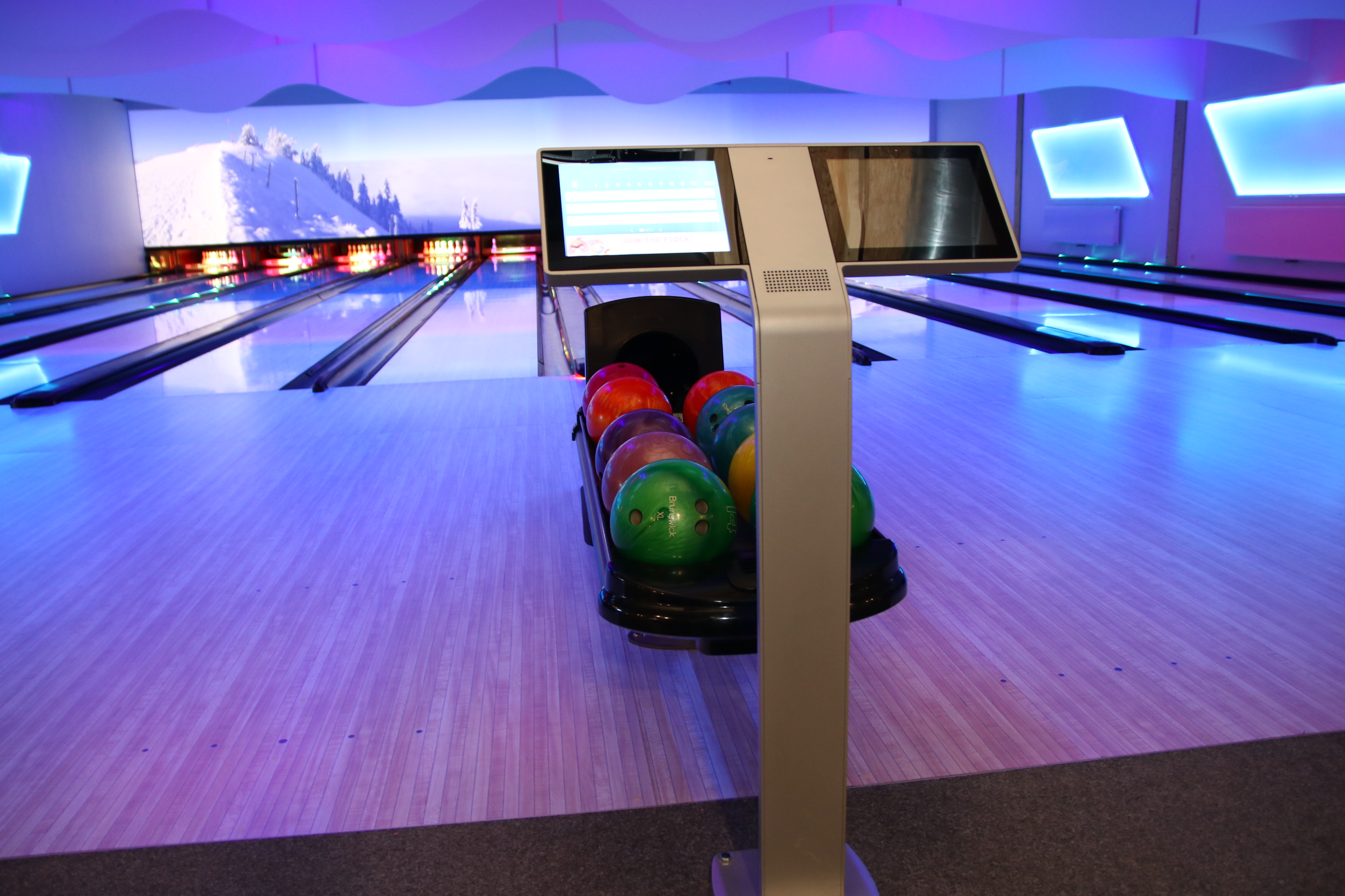
 Historic site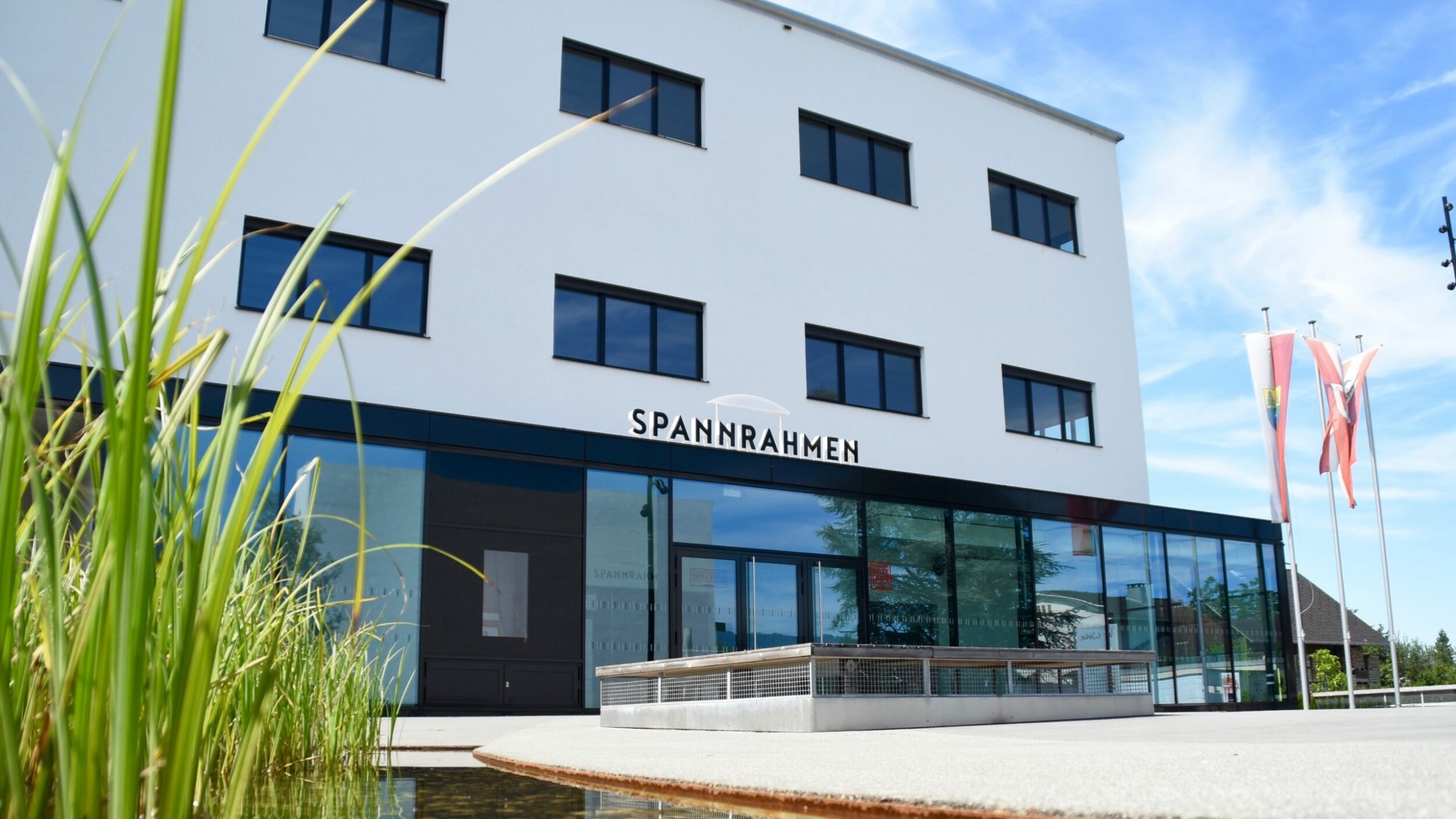
Nothing of this kind in Hard.
Routes
13 from neighbouring places
Barrierefrei: Seepromenade in der Harder Bucht – Seepark und Grüner Damm
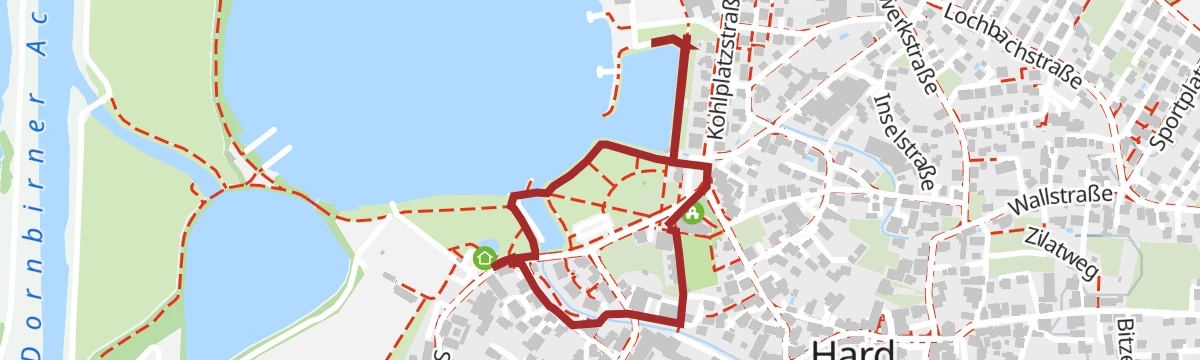
A level, step-free shore path in the Harder Bucht, turning at the dam end. The bay became a recreation area only after 1950.
- 4.4 km
- Distance
- 0 m
- Ascent
- 1 h 2 min
- Duration
Open route Vorarlberg Tourismus GmbH40 Jahre Bodensee-Radweg: Schlösser, Ried und Reben-Tour
A long, level run through the Rhine valley on both sides of the border, past its castles and vineyards.
- 86.8 km
- Distance
- 323 m
- Ascent
- 7 h 60 min
- Duration
- 1
- Check-ins
 Tourismus & Stadtmarketing 431 m
 Lehmlöcher 410 m
- ÖBB Reisezentrum 457 m
- Bürgerservice 442 m
Harder Ges(ch)ichtspunkte
A loop through the old village centre past former inns, the first schoolhouse and St. Sebastian, laid out for the town's centenary in 2005.
- 1.8 km
- Distance
- 0 m
- Ascent
- 25 min
- Duration
Open route Amt der Vorarlberger Landesregierung – Abteilung KulturRheindelta Radrundfahrt
A flat circuit of the Rhine delta from Bregenz, with 11 km of it along the Hard lakefront and through the reedbeds.
- 43.0 km
- Distance
- 41 m
- Ascent
- 3 h 51 min
- Duration
Open route Vorarlberg Tourismus GmbHLagunenrundweg an der Rheinmündung
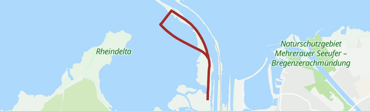
A 4.7 km loop round the lagoon at the Rhine mouth, where the protected Rheindelta shore is a resting place for migrating birds.
- 4.7 km
- Distance
- 0 m
- Ascent
- 1 h 6 min
- Duration
Open route Bodensee-Vorarlberg TourismusRheindelta Rundtour
A gravel loop through the Mehrerauer Seeufer reserve and the Rohrspitz reedbeds, flat throughout, returning along the Bregenzer Ach.
- 39.5 km
- Distance
- 42 m
- Ascent
- 3 h 33 min
- Duration
Open route Vorarlberg Tourismus GmbHSeerunde Hard
Eight stations along the Harder lakeshore covering two centuries of local history, app-guided, starting at the Fensterlose Kirche.
- 1.7 km
- Distance
- 0 m
- Ascent
- 23 min
- Duration
Open route Marktgemeindeamt Hard / GemeindearchivMin Weag 01 | Bregenz – Pfänder/Moosegg
4.9 km away, in Bregenz
Two and a half hours from the city centre through forest onto the 1,064 m Hausberg, 683 m of climbing.
- 6.4 km
- Distance
- 660 m
- Ascent
- 2 h 54 min
- Duration
Open route Vorarlberg TourismusVon Bregenz zum Jannersee in Lauterach
5.3 km away, in Bregenz
An easy 7 km to the Jannersee with a stop at Dietrichs Kostbarkeiten on the way.
- 6.2 km
- Distance
- 0 m
- Ascent
- 34 min
- Duration
Open route Vorarlberg TourismusLeiblachtal Route
5.4 km away, in Bregenz
From the lakeside promenade along the Pipeline and the Leiblach as far as Hohenweiler, 133 m of climbing.
- 13.5 km
- Distance
- 104 m
- Ascent
- 1 h 16 min
- Duration
Open route Vorarlberg Tourismus3 Tausender Höhenrundweg: Pfänder – Hochberg – Hirschberg
7.9 km away, in Lochau
A ridge round from the 1,064 m Pfänder over the Hochberg and the Hirschberg, looking out over Lake Constance and the Rheintal.
- 17.1 km
- Distance
- 455 m
- Ascent
- 5 h 8 min
- Duration
Open route Vorarlberg TourismusAlberschwende - Brüggelekopf
13.3 km away, in Alberschwende
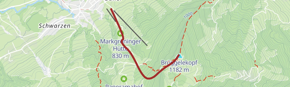
A ski tour from Alberschwende to Brüggelekopf, 421 m of climbing in 2.2 km to a high point of 1,166 m.
- 2.0 km
- Distance
- 0 m
- Ascent
- 0 m
- Descent
- 30 min
- Duration
Open route PeakVisor tTRL (OpenStreetMap piste_type=skitour)Bödele - Guntenspitze
13.6 km away, in Schwarzenberg
From Bödele at 1,101 m, 858 m of ascent over 8.5 km to Guntenspitze.
- 8.4 km
- Distance
- 0 m
- Ascent
- 0 m
- Descent
- 2 h 3 min
- Duration
Open route PeakVisor tTRL (OpenStreetMap piste_type=skitour)Rund um den Pfänder
4.9 km away, in Bregenz
A circuit of the Pfänder from Bregenz station over Fluh, Hirschberg and Hochberg to Möggers, returning by Hörbranz and Lochau with 891 m of climbing.
- 27.4 km
- Distance
- 757 m
- Ascent
- 3 h 9 min
- Duration
Open route Bodensee-Vorarlberg TourismusBarrierefrei: An der Bregenzerach – Der Uferrundweg Lauterach-Rieden
4.4 km away, in Lauterach
A step-free circuit on the Bregenzerach embankments from the Achpark, out to the Weidach motorway bridge and back.
- 3.9 km
- Distance
- 10 m
- Ascent
- 56 min
- Duration
Open route Vorarlberg Tourismus GmbHAusschau vom Pfänder
5.9 km away, in Bregenz
The full climb from the Pfänderbahn valley station at 420 m by Hintermoos and the Pfänderdohle to the 1062 m summit.
- 3.7 km
- Distance
- 609 m
- Ascent
- 2 h 20 min
- Duration
Open route Bodensee-Vorarlberg TourismusDornbirner Höhenweg
10.7 km away, in Dornbirn
A moderate 446 m along the hillside terraces above the town, topping out around 706 m.
- 13.3 km
- Distance
- 381 m
- Ascent
- 1 h 33 min
- Duration
Open route Vorarlberg TourismusMin Weag 02 | Pfänder/Moosegg – Sulzberg
8.4 km away, in Lochau
A Min Weag stage high above Lake Constance through wood and field to an alp, then over meadows to Sulzberg.
- 16.7 km
- Distance
- 712 m
- Ascent
- 5 h 40 min
- Duration
Open route Vorarlberg TourismusUrban & Culture Bike Tour
10.5 km away, in Dornbirn
Quiet green space, city and architecture on the ride down to the Bodensee at Bregenz, 100 m of climbing.
- 21.6 km
- Distance
- 103 m
- Ascent
- 2 h 2 min
- Duration
Open route Vorarlberg TourismusAuf dem Mehrerauer Bodenseeweg – Vom Festspielhaus zur Achmündung
4.6 km away, in Bregenz
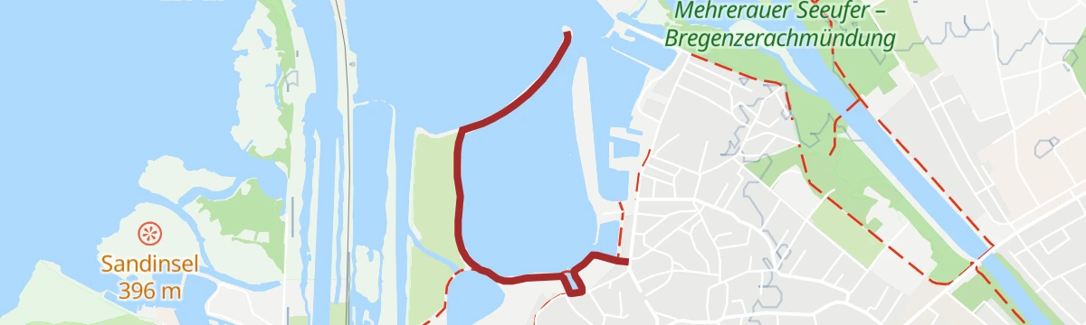
A flat lakeside walk from the Festspielhaus to the mouth of the Ach, with bathing places along the way.
- 6.4 km
- Distance
- 0 m
- Ascent
- 1 h 30 min
- Duration
Open route Bodensee-Vorarlberg Tourismus









No routes of this kind in Hard yet.
Planning a trip to Hard?
Everything else Vorarlberg has, in one place


Take Hard with you into the mountains
Every route on this page with 3D terrain, GPX navigation and offline maps — including the valleys with no signal.
Data sources
- Official website: hard.at ↗
- Routes and highlights: Bodensee-Vorarlberg Tourismus, Vorarlberg Tourismus, Marktgemeinde Hard, Vorarlberg Tourismus GmbH, PeakVisor tTRL (OpenStreetMap piste_type=skitour), Galerie Maximilian Hutz, Amt der Vorarlberger Landesregierung – Abteilung Kultur, Marktgemeindeamt Hard / Gemeindearchiv
- Published as open data by the tourist boards named above.
- Region summary generated from the board's own material.
