
 Historic site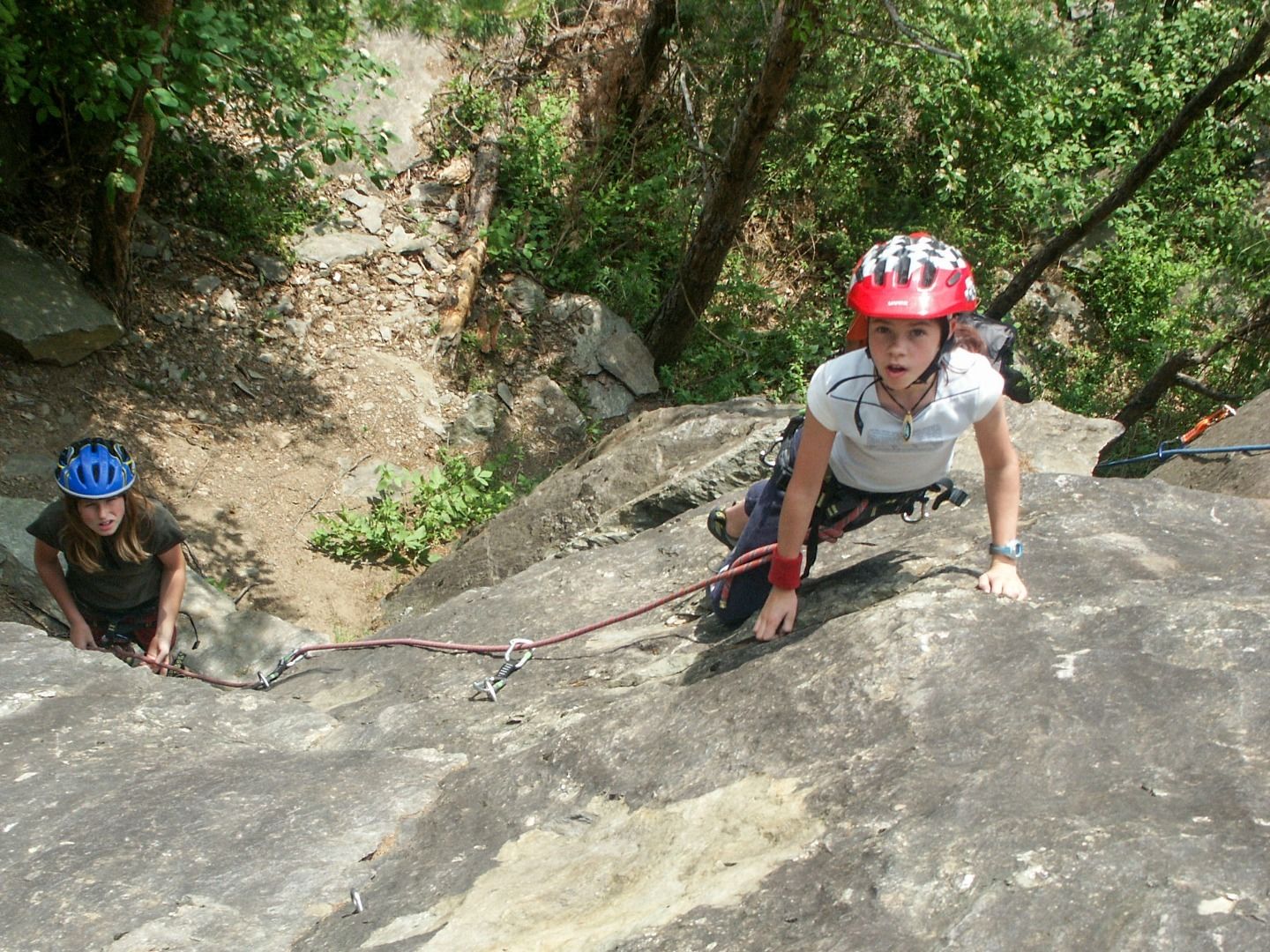

















Curated by Ötztal Tourismus
Haiming
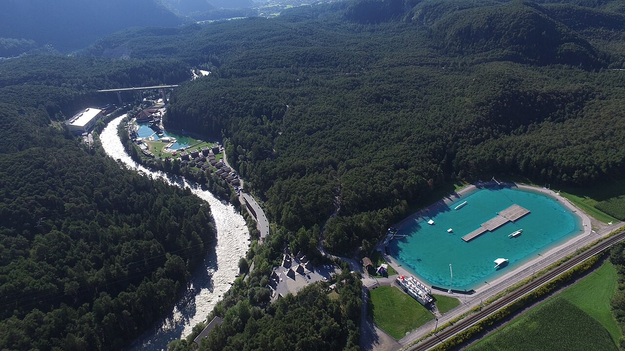
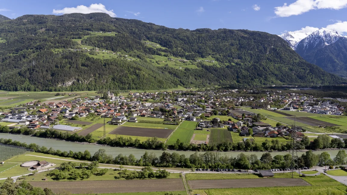
On the Inn at the mouth of the Ötztal, an old fruit-growing village with orchards on the Haimingerberg and the Area 47 sports park filling the river junction.
- 9Highlights
- 63Routes
- Featured summit · Tschirgant
Highlights
6 from neighbouring places
Area 47
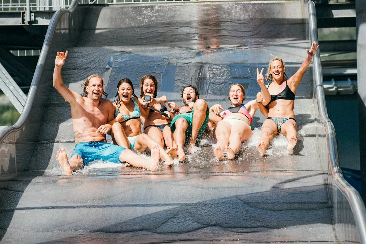
An outdoor adventure park at the mouth of the Ötztal near Ötztal-Bahnhof, combining a water play area with rafting, canyoning and climbing.
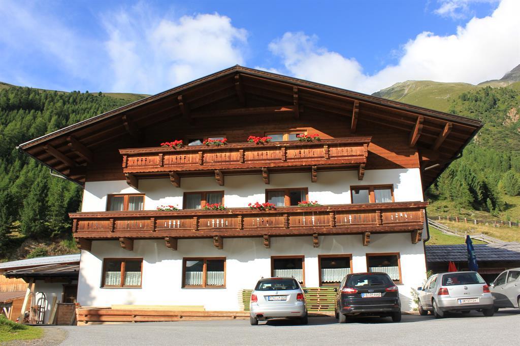
Almhof Mareil
An inn between Ochsengarten and Kühtai on the Kaiser-Franz-Josef, Höllwiesen and Knappen paths, with its own bus stop below.
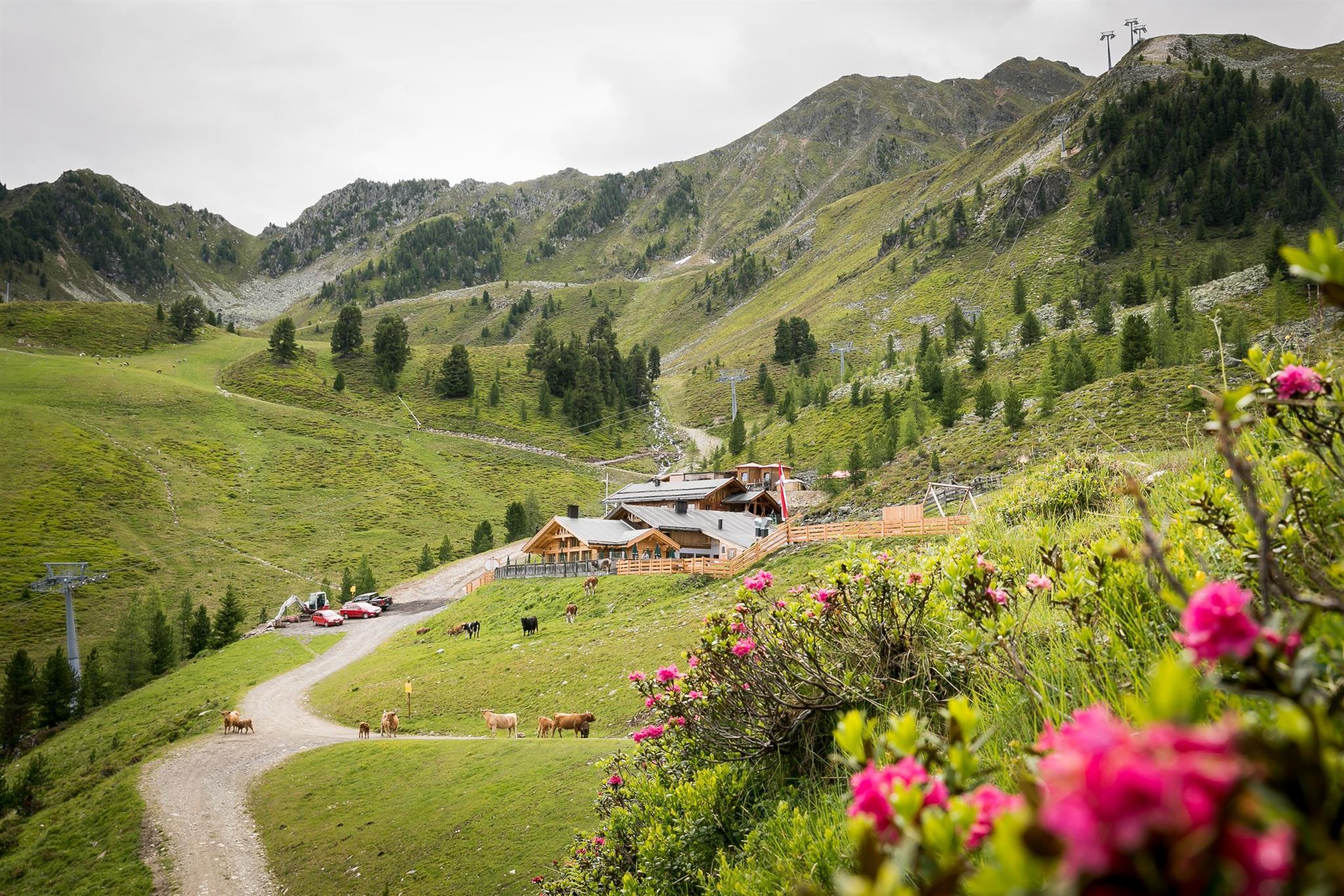
Balbach Alm
A hut on the Hochoetz slopes serving traditional Tirolean cooking, with overnight places available.
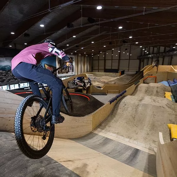
AREA47 - Indoor Bikepark
An indoor bike park at AREA47 near Ötztal-Bahnhof, with ramps and lines for riding practice in any weather and any season.
AREA47 - Water Area
The water sports section of AREA47 at the mouth of the Ötztal, with slides, jumps and a bathing lake laid out for summer visitors.
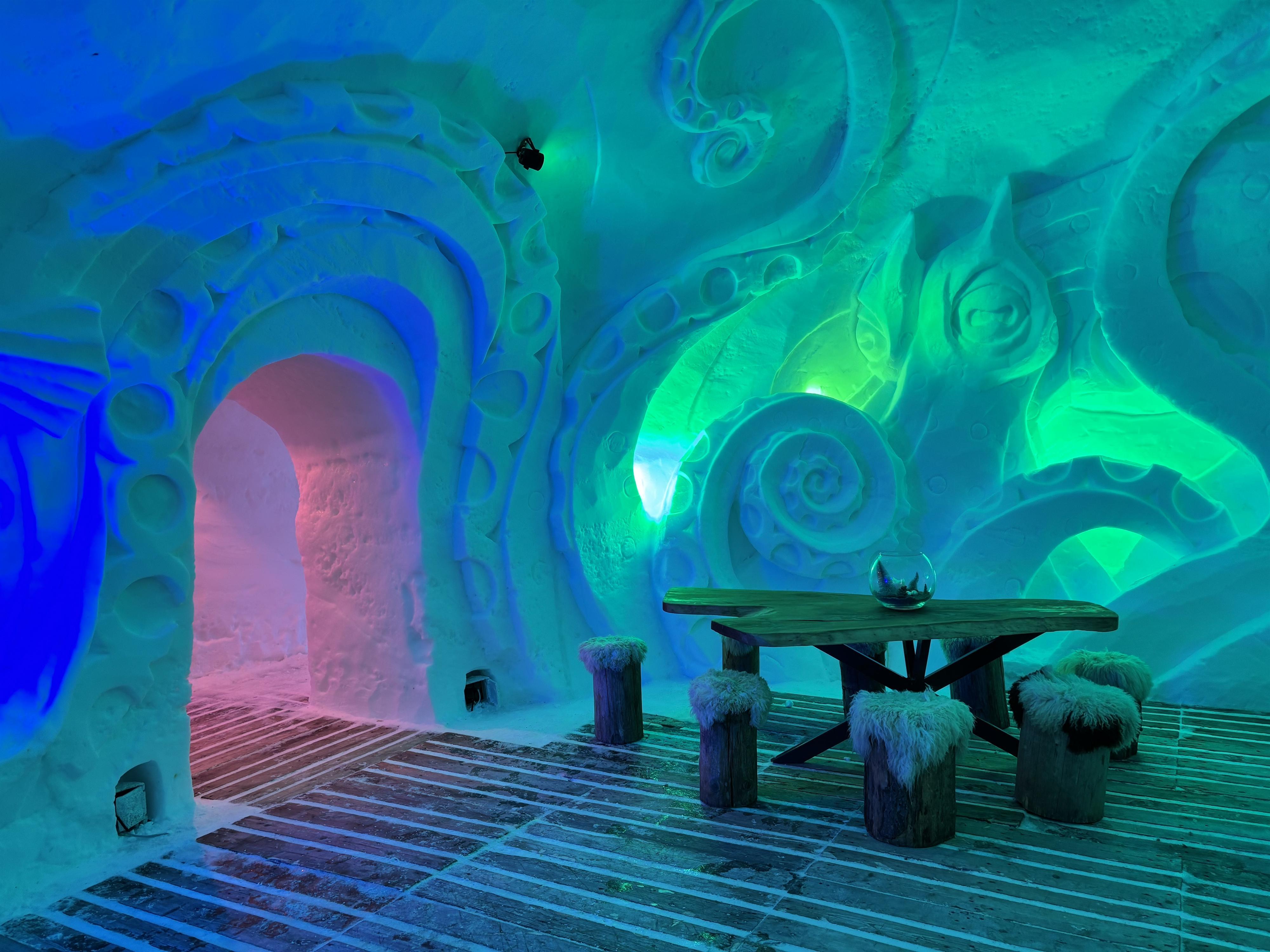
Schneedorf Hochoetz
Austria's first igloo village, rebuilt each winter at about 2,000 m at Hochoetz, with rooms cut from snow and open for overnight stays.
Brunau
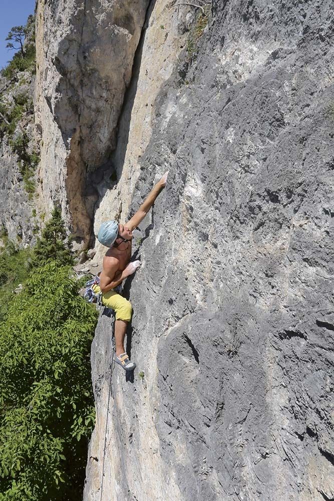
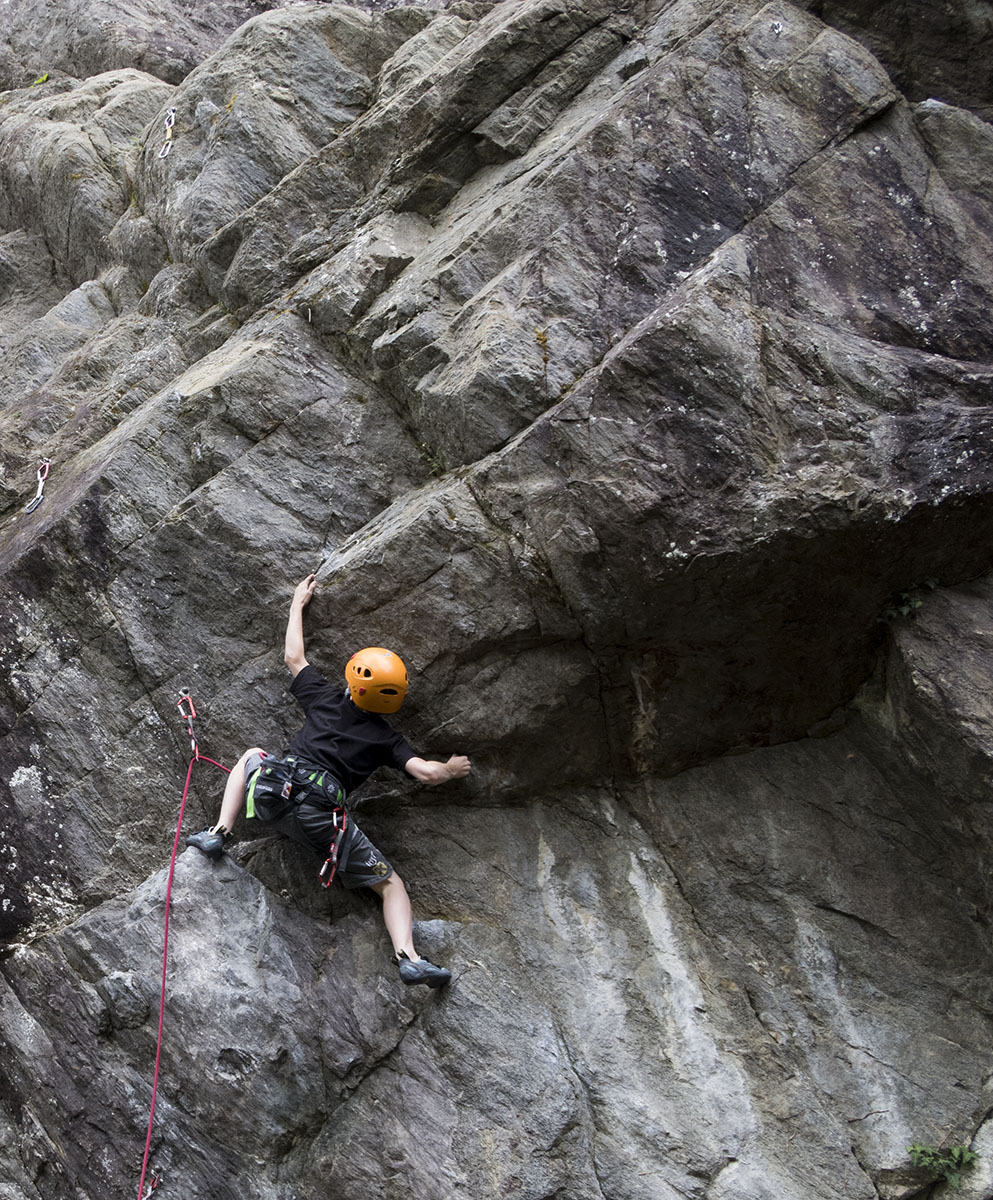
A former quarry at 736 m near Haiming, sheltered enough to climb from spring to late autumn and a good place to start on rock.
Geierwand
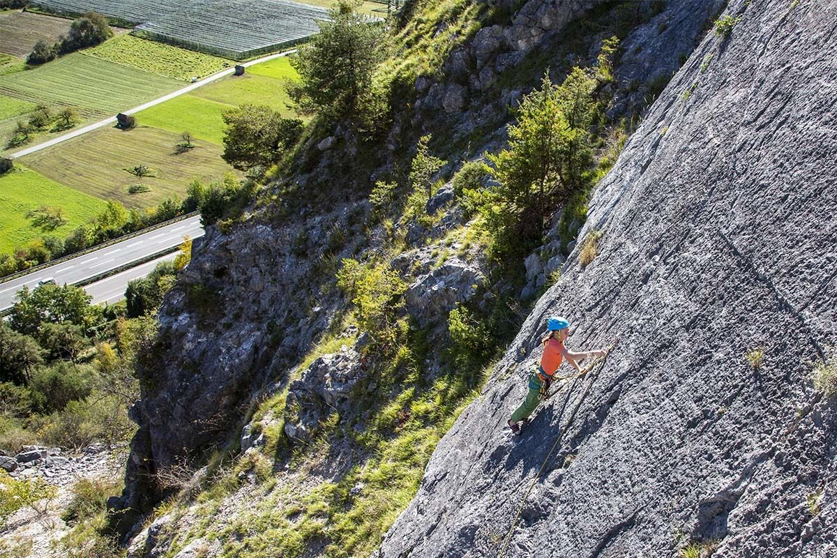
A sunny wall at 750 m above Haiming with well-protected multi-pitch routes, climbable most of the year but hot in summer.
KG Simmering
A crag on the Simmering at 719 m with several sectors of well-protected single- and multi-pitch routes, most at the easier grades.
Amberger See
2 km away, in Oetz
A moor lake at 1,522 m in a hollow scoured by the ice-age glacier, also known as the Brandsee.
Auerklamm
3.3 km away, in Oetz
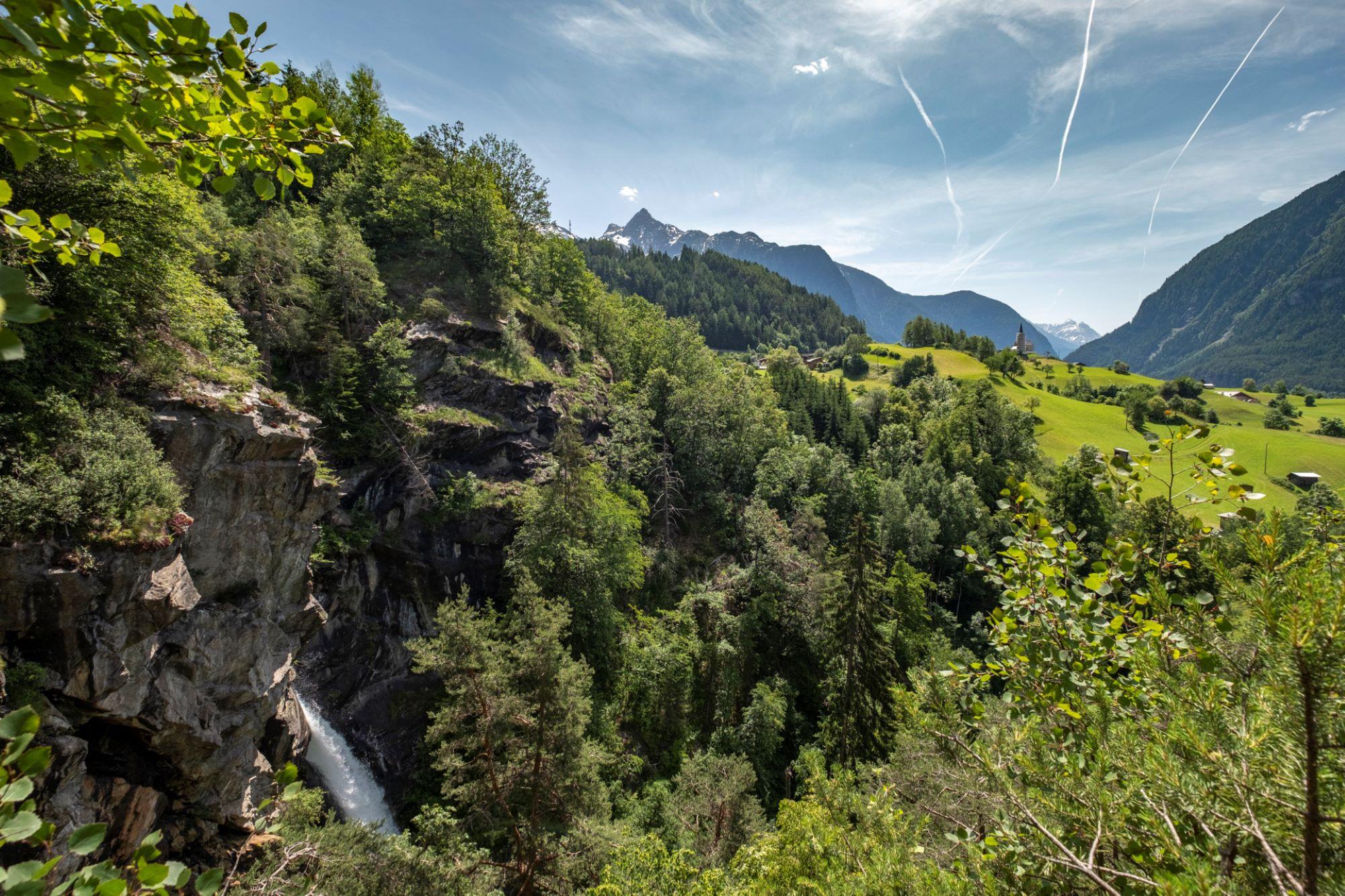
A gorge near Sautens used for canyoning. The walking path stays on the rim rather than entering it, with views down to the stream and its falls.
Tschirgant Bergsturz
3.3 km away, in Sautens
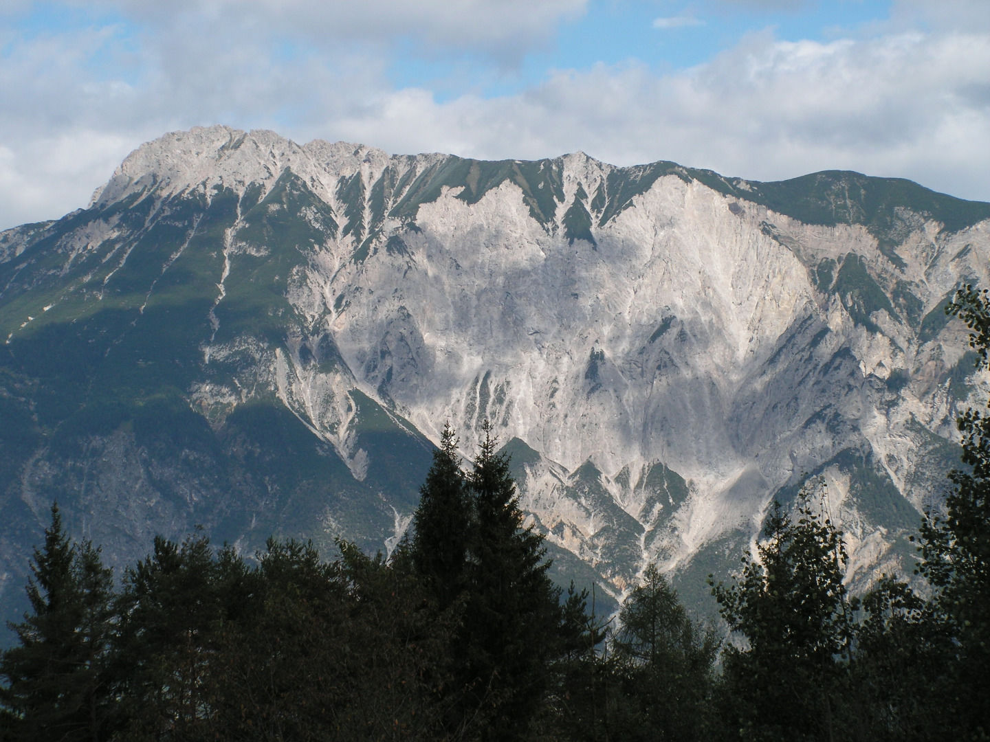
The Tschirgant rockslide buried the lower Ötztal some 3,000 to 3,500 years ago; the ground it left has been shaped by people ever since.
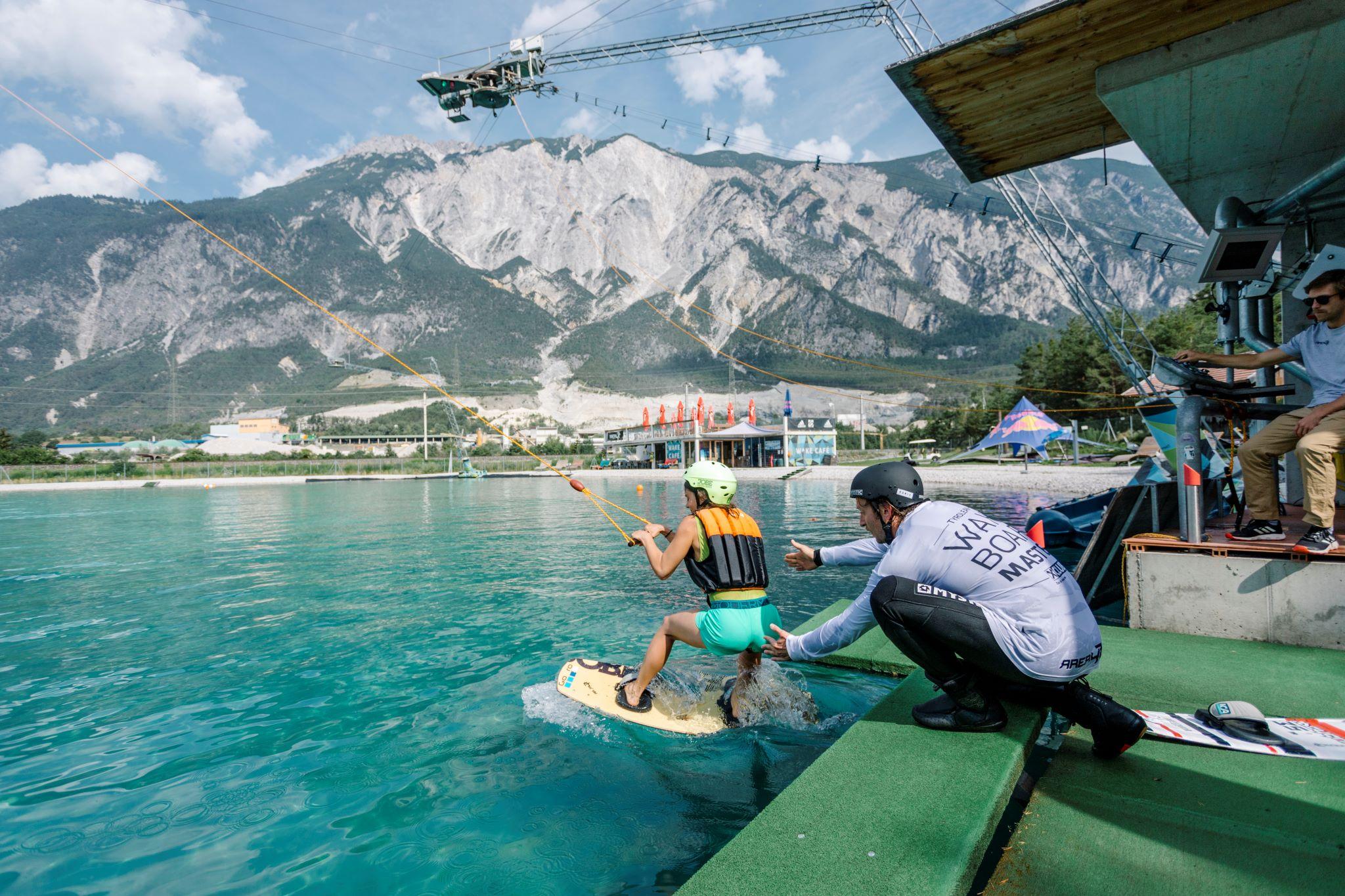
AREA 47 - Wake AREA
3.6 km away, in Roppen
A 420 m cable wakeboard tow on a five-mast system, with a set of shaped obstacles, at the AREA 47 site.
Rammelstein
3.6 km away, in Sautens
A shaded crag at 761 m above Sautens, decades old, renovated in 2007 and extended with the Jonathan sector in 2012.
Freischwimmbad Sautens
3.8 km away, in Sautens
An open-air pool at Sautens with a children's basin, a large lawn, a buffet restaurant and two clay tennis courts.
Nothing of this kind in Haiming.
Routes
50 routes, an even mix of activities · see the rest on oetztal.com ↗
Klettersteig Geierwand
Usable all year whenever approach and descent are free of snow and ice, this B–C wall climb near the Ötztal entrance crosses a rope bridge high above the Inn; expect noise from power-station construction blasting nearby.
- 1.1 km
- Distance
- 0 m
- Ascent
- 25 min
- Duration
- 7
- Check-ins
Klettersteig Haiming-Geierwand
A via ferrata on the Geierwand above Haiming, mostly grade B but with a long approach; blasting for the Imst-Haiming power station is nearby.
- 405 m
- Distance
- 70 m
- Ascent
- 19 min
- Duration
Open route Climbers Paradise *Neu*Feldring Alm
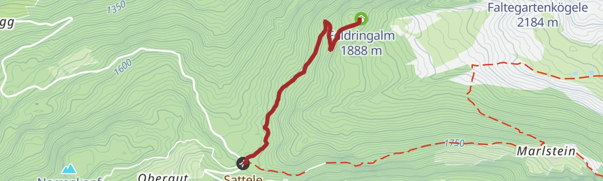
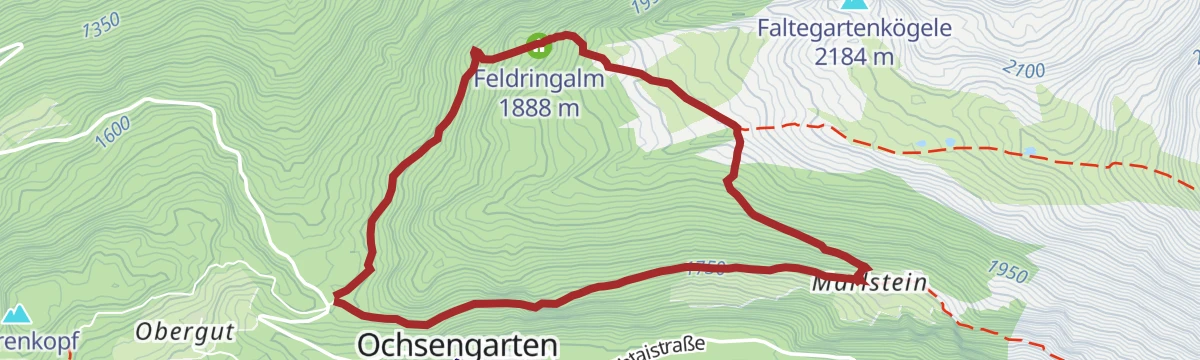
Easiest of the Ochsengarten alm walks: a comfortably rising forest road from the Sattele to the Feldring Alm, with a narrow-path shortcut near the top.
- 2.1 km
- Distance
- 196 m
- Ascent
- 51 min
- Duration
- 17
- Check-ins
Höhenweg Hochoetz - Kühtai
Panoramic link from Hochoetz to Kühtai: forest road past the Kühtaile and Balbach alms, then a gently rolling high path via the unstaffed upper Issalm and along the Längental reservoir to the Dortmunder Hütte and the bus home.
- 8.9 km
- Distance
- 282 m
- Ascent
- 2 h 51 min
- Duration
- 51
- Check-ins
Knappenweg
Full mining-trail loop above Hochoetz taking in the Rossköpfe, the Wetterkreuzkogel and the Rotes Wandl, linking the Bielefelder Hütte with the Kühtaile and Balbach alms high above the Ötztal.
- 11.8 km
- Distance
- 807 m
- Ascent
- 5 h 25 min
- Duration
- 86
- Check-ins
Faltegartenköpfl (01)
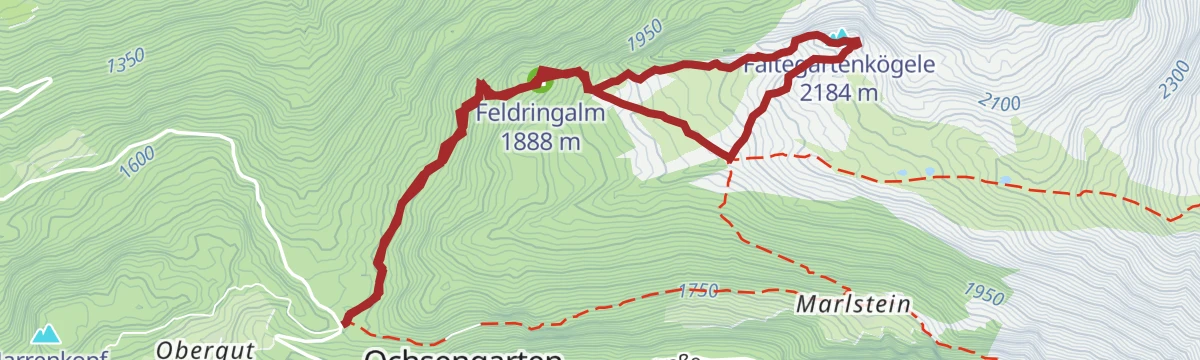
Mellow ski tour from the Sattele above Ochsengarten, following the sledding run to the Feldringalm and crossing the wide, open Feldringer Böden to a summit that stays in view almost the whole way.
- 4.2 km
- Distance
- 481 m
- Ascent
- 0 m
- Descent
- 1 h 33 min
- Duration
- 37
- Check-ins
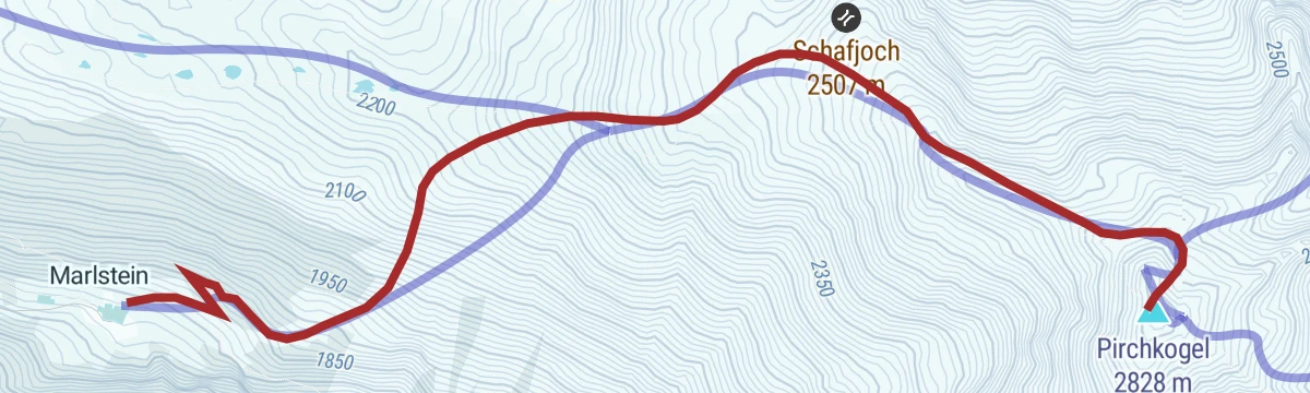
Pirchkogel (02)
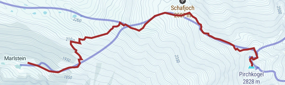
Committing ski tour from Marlstein through glades and up a rolling rib to the Schafjoch, where the broad back narrows to a ridge before a short steep traverse and the final metres to the summit.
- 4.0 km
- Distance
- 1 043 m
- Ascent
- 17 m
- Descent
- 2 h 43 min
- Duration
- 7
- Check-ins
6051 Sattele-Feldring Alm
A short, easy link from the Sattele saddle across to the alm at 1,888 m, with only a couple of hundred metres to climb.
- 4.2 km
- Distance
- 190 m
- Ascent
- 33 min
- Duration
- 17
- Check-ins
Tour zum Rettenbachferner
A very long climb from the Ötztal up towards the Rettenbachferner above Sölden, topping out at the Restaurant Rettenbach at 2,666 m.
- 62.5 km
- Distance
- 2 326 m
- Ascent
- 7 h 5 min
- Duration
- 129
- Check-ins
Familien Radtour Haiming Apfelmeile
A flat family tour through the orchards on the valley floor at Haiming, passing the rafting base beside the Inn.
- 9.3 km
- Distance
- 11 m
- Ascent
- 50 min
- Duration
- 7
- Check-ins
Von Innsbruck nach Kühtai
A long road ride out of the Inn valley, climbing to the saddle at 2,017 m with the Dortmunder Hütte just below it.
- 106.6 km
- Distance
- 1 930 m
- Ascent
- 11 h 16 min
- Duration
- 86
- Check-ins
Almhof Mareil
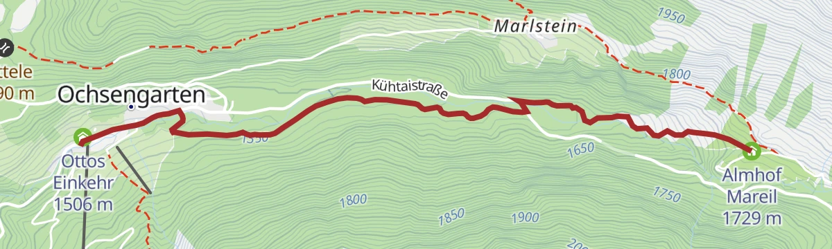
Easy walk from Ochsengarten along the Bienenweg through quiet forest, crossing the stream and climbing the Höllwiesenweg to an alm inn at Mareil.
- 3.7 km
- Distance
- 225 m
- Ascent
- 1 h 13 min
- Duration
- 3
- Check-ins
Gipfeltour Faltegartenköpfl
Straightforward summit walk from the Sattele car park above Ochsengarten, up the forest road to the Feldringalm and across the Feldringer Böden to the 2,184 m top.
- 4.0 km
- Distance
- 502 m
- Ascent
- 2 h 6 min
- Duration
- 37
- Check-ins
Kühtai - Pirchkogel - Marlstein
Ridge crossing from Kühtai over the Pirchkogel and Hinterer Grieskogel, descending to Marlstein above Ochsengarten — a long day linking two valleys.
- 14.9 km
- Distance
- 1 127 m
- Ascent
- 7 h 21 min
- Duration
- 64
- Check-ins
Skipistentour Ochsengarten - Hochoetz (04)
Uphill ski route from the Ochsengarten valley station to the Hochoetz panorama restaurant, mostly on groomed forest roads and quiet woodland paths beside the pistes — sociable enough to climb two abreast.
- 5.0 km
- Distance
- 499 m
- Ascent
- 0 m
- Descent
- 1 h 45 min
- Duration
- 29
- Check-ins
Pirchkogel von Marlstein
Steep, direct ski tour from Marlstein above Ochsengarten to the Pirchkogel, packing about 1,000 m of climbing into 4.4 km — a serious grade for strong tourers.
- 4.4 km
- Distance
- 1 003 m
- Ascent
- 1 003 m
- Descent
- 3 h 10 min
- Duration
- 7
- Check-ins
6050 Amberger See | Brandsee
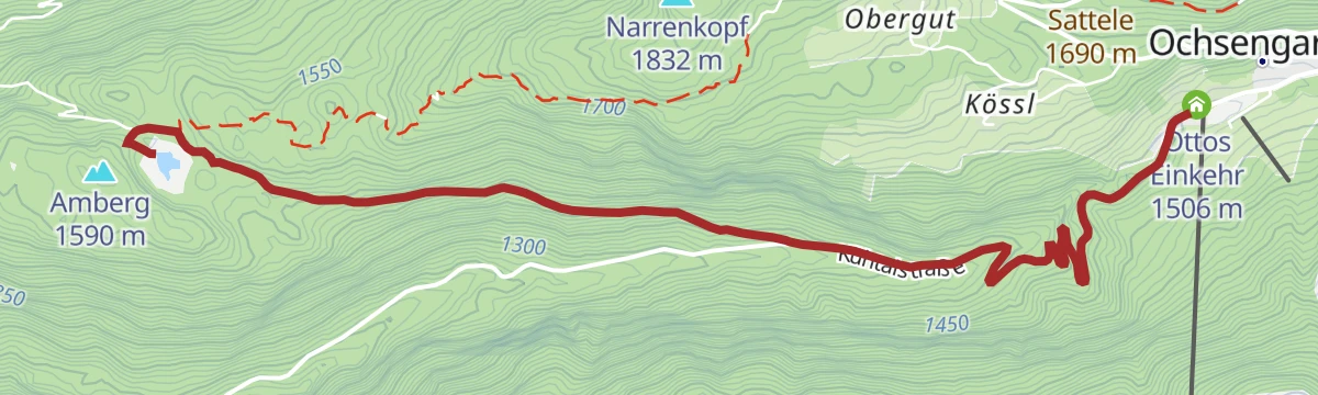
A short, easy ride at Ochsengarten reaching two small mountain lakes, with the ice-climbing crags of the Atlantis Eisfall below.
- 5.0 km
- Distance
- 215 m
- Ascent
- 38 min
- Duration
- 4
- Check-ins
 Brandsee 1 521 m
 Ottos Einkehr 1 506 m
Gravelbike Tour - Ötztal Plus
A long gravel ride through the lower Ötztal, passing the Habicher See and the Waldcafe Stuböbele high on the valley side.
- 63.2 km
- Distance
- 889 m
- Ascent
- 6 h 27 min
- Duration
- 22
- Check-ins
Ötztal Radweg Etappe 1: Haiming - Oetz
The opening stage of the valley cycle route, starting from the railway station in the Inn valley and climbing gently into the mouth of the Ötz valley.
- 14.5 km
- Distance
- 176 m
- Ascent
- 1 h 25 min
- Duration
- 3
- Check-ins
Rennradtour - Oetz - Kühtai - Sattele Runde
A road circuit over two passes, the Kühtaisattel at 2,017 m and the lower Sattele, returning to the floor of the Ötztal.
- 45.2 km
- Distance
- 1 484 m
- Ascent
- 5 h 24 min
- Duration
- 72
- Check-ins
Sautens - AREA 47
A level riverside walk from the Sautens leisure centre along the Ötztaler Ache, crossing at the Brunauer Steg and following a gravel track to the gates of the AREA 47 adventure park.
- 3.7 km
- Distance
- 11 m
- Ascent
- 57 min
- Duration
Gipfeltour Faltegartenköpfl und Grünwaslkreuz
Loop from the Sattele over the Feldringalm and the moor-dotted alm plateaus, climbing the Bettlersteig to the 2,184 m summit and descending via the lower Grünwasl cross to rejoin the outward route.
- 7.8 km
- Distance
- 525 m
- Ascent
- 3 h 32 min
- Duration
- 37
- Check-ins
Gipfeltour Pirchkogel
Point-to-point tour from Kühtai steeply past the Schwarzmoosseen, where horses graze in summer, to the summit, then down over the Feldringer Böden to Marlstein and Ochsengarten.
- 13.4 km
- Distance
- 821 m
- Ascent
- 6 h 36 min
- Duration
- 34
- Check-ins
Faltegartenkögele
Compact ski tour from the Sattele saddle to the panorama summit above Ochsengarten — under 500 m of climbing, with wide views over the surrounding valleys.
- 3.3 km
- Distance
- 484 m
- Ascent
- 484 m
- Descent
- 1 h 40 min
- Duration
- 24
- Check-ins
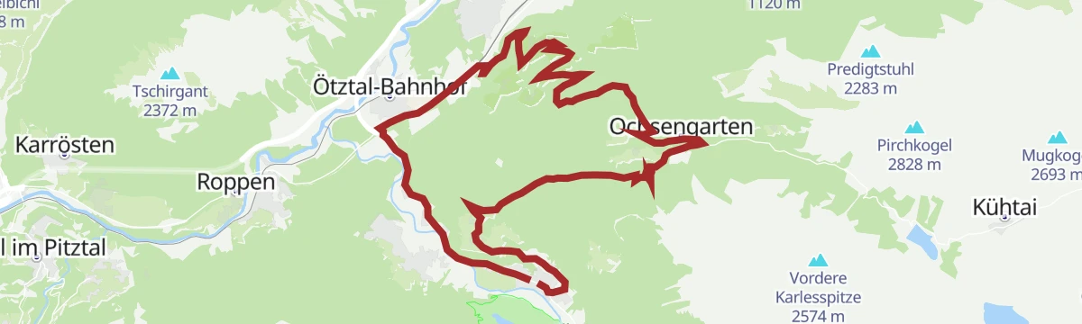
6059 Ötztal Bahnhof - Haiming
An almost level connection along the valley floor between the railway station and the village, a useful link rather than an outing.
- 4.5 km
- Distance
- 10 m
- Ascent
- 25 min
- Duration
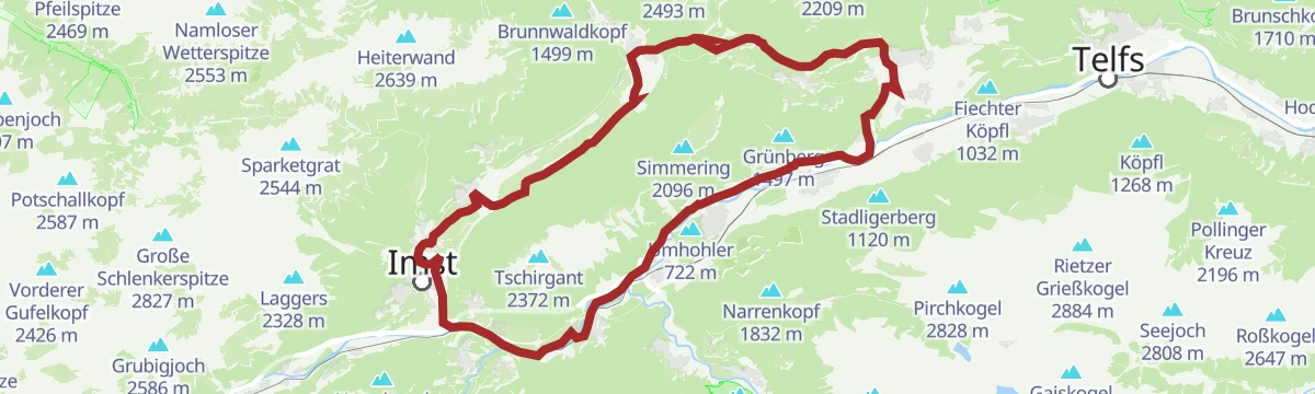
Gravelrunde Tschirgantmassiv
A gravel circuit right around the Tschirgant massif, passing the Rafting Alm on the Inn and the mouth of the Pitztal.
- 56.0 km
- Distance
- 691 m
- Ascent
- 5 h 37 min
- Duration
- 20
- Check-ins
Rennradtour - Oetz - Kühtai - Finstertaler Stausee
A long road climb from the Ötztal to Kühtai, continuing past the Dortmunder Hütte to the dam wall at 2,344 m above the Finstertal.
- 43.0 km
- Distance
- 1 554 m
- Ascent
- 5 h 17 min
- Duration
- 57
- Check-ins
Schatzsuche Dorfrunde Ochsengarten
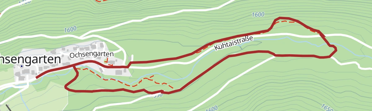
Geocaching village loop at Ochsengarten: a wide, stroller-friendly forest path with hidden caches to find on both sides of the stream — a treasure hunt for families.
- 2.9 km
- Distance
- 42 m
- Ascent
- 47 min
- Duration
Faltegartenköpfl
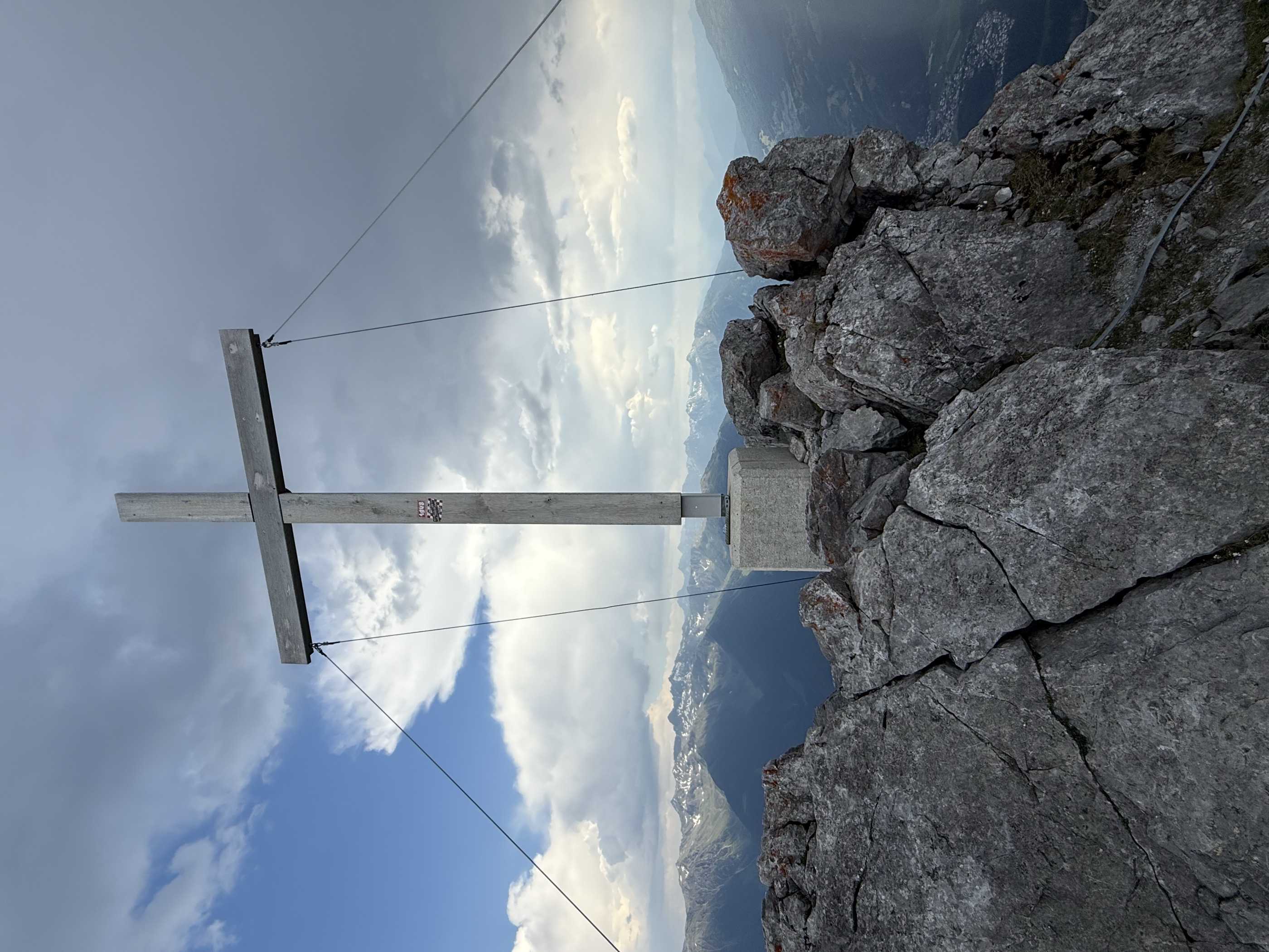
Panorama summit walk above Ochsengarten via the Feldringalm, climbing from the Sattele road saddle to the summit cross of the Faltegartenkögele.
- 8.5 km
- Distance
- 538 m
- Ascent
- 3 h 41 min
- Duration
- 37
- Check-ins
Tschirgant - Simmering
A 14.6 km traverse from the Karröster Alm over the Zwölferkopf and Simmering towards Obsteig, passing the Haiminger Alm and the Simmeringalm.
- 14.6 km
- Distance
- 1 162 m
- Ascent
- 8 h 18 min
- Duration
- 22
- Check-ins
Haiminger Alm <> Simmering Alm
A short, nearly flat traverse between two alms high above Haiming, linking their access tracks on the mountainside.
- 3.1 km
- Distance
- 12 m
- Ascent
- 20 min
- Duration
Tschirgantrunde
A circuit of the Tschirgant on valley tracks, passing the Weiße Haus, Camping Rossbach and the turn-off into the Pitztal.
- 56.0 km
- Distance
- 691 m
- Ascent
- 5 h 37 min
- Duration
- 20
- Check-ins
Rennradtour - Sölden - Area 47
A road run down the length of the Ötztal from Sölden to Area 47 at the valley mouth, and back again.
- 76.4 km
- Distance
- 801 m
- Ascent
- 7 h 32 min
- Duration
- 47
- Check-ins
Sattele - Faltegartenköpfl
Panorama hike from the Sattele saddle, looping by the Feldringalm on the way to the Faltegartenkögele — a steady, family-manageable summit above Ochsengarten.
- 7.3 km
- Distance
- 482 m
- Ascent
- 3 h 16 min
- Duration
- 37
- Check-ins
Haiminger Alm
Sustained climb from the centre of Haiming across the Inn and up an ever-steepening path over the Haiminger Mure, past the unstaffed Lintighütte and the Kehre viewpoint to the alm above the treeline.
- 6.8 km
- Distance
- 1 188 m
- Ascent
- 4 h 37 min
- Duration
- 3
- Check-ins
Trailcenter Ötztaler Höhe / Oachkatzl Trail
A short easy singletrack in the trail centre on the Ötztaler Höhe above Haiming, a little over a kilometre from top to bottom.
- 1.1 km
- Distance
- 32 m
- Ascent
- 8 min
- Duration
Gravelrunde Piburger See
A long gravel ride down the Inn valley from Imst to the Piburger See, with the Seehäusl and Seerestaurant at the lake before the return.
- 60.8 km
- Distance
- 1 136 m
- Ascent
- 6 h 28 min
- Duration
- 15
- Check-ins
Ötztal Radweg Gesamtstrecke (11)
The full valley cycle route from the Inn at Haiming all the way up to Sölden, gaining height steadily over 60 km.
- 60.2 km
- Distance
- 906 m
- Ascent
- 5 h 57 min
- Duration
- 38
- Check-ins
Schatzsuche Ochsengarten Sattele Runde
Geocache loop from the Sattele along the Kaiser Franz Josef path to Marlstein, climbing to the Grünwaslkreuz and returning via the Feldringalm, with caches at quirks like the Brotkastl stone.
- 6.6 km
- Distance
- 341 m
- Ascent
- 2 h 28 min
- Duration
- 17
- Check-ins
Grünberg - Haiminger Alm
Long traverse high above the Inn valley from the Grünberg to the Haiminger Alm, stringing together the Holzerhütte, Guggehütte and Hubertushütte.
- 15.9 km
- Distance
- 868 m
- Ascent
- 6 h 11 min
- Duration
- 3
- Check-ins
Trailcenter Ötztaler Höhe / WIDI Trail
One of the gentlest lines in the trail centre above Haiming, a kilometre of singletrack with almost no height gain.
- 1 000 m
- Distance
- 10 m
- Ascent
- 6 min
- Duration
Imster Radmarathon | Panoramarunde (Jubiläum)
A long tour out of Imst over the Holzleitensattel at 1,119 m, looping back down the Inn valley past the mouth of the Pitztal.
- 79.5 km
- Distance
- 727 m
- Ascent
- 7 h 45 min
- Duration
- 14
- Check-ins
Tschirgantrunde
A road circuit around the massif between the Inn and Ötz valleys, climbing to Gasthaus Arzkasten before the run back down the river.
- 54.3 km
- Distance
- 986 m
- Ascent
- 5 h 45 min
- Duration
- 14
- Check-ins
Apfelmeile Haiming
Flat orchard walk from Haiming's municipal office along the apple road to Simmering and Silz, returning through the Pirchet forest past long rows of fruit plantations.
- 9.6 km
- Distance
- 10 m
- Ascent
- 2 h 15 min
- Duration
- 7
- Check-ins
Trailcenter Ötztaler Höhe / Wolfsrudel Trail
An easy wooded singletrack in the trail centre on the Ötztaler Höhe, dropping some 60 m over a kilometre and a half above Haiming.
- 1.4 km
- Distance
- 32 m
- Ascent
- 9 min
- Duration
Haimingerberg Sattele
A long climb out of the Inn valley over the Haimingerberg to the Sattele at 1,690 m, with Ottos Einkehr shortly below the pass.
- 58.6 km
- Distance
- 2 095 m
- Ascent
- 7 h 11 min
- Duration
- 13
- Check-ins
Mieminger Plateau Runde
A near-100 km road round out of the Inn valley, climbing to the terrace villages above Mieming and past Gasthaus Arzkasten.
- 97.1 km
- Distance
- 1 138 m
- Ascent
- 9 h 41 min
- Duration
- 12
- Check-ins
Almhof Mareil über Sattele
Gentle route from the Sattele toward the Feldringalm, branching off after half a kilometre toward Marlstein and continuing to the alm inn at Mareil.
- 4.0 km
- Distance
- 263 m
- Ascent
- 1 h 42 min
- Duration
- 6
- Check-ins
Tschirgantrunde mit dem Rennrad
A round of the Tschirgant crossing the Holzleitensattel at 1,119 m, with the return along the floor of the Inn valley.
- 51.8 km
- Distance
- 683 m
- Ascent
- 5 h 14 min
- Duration
- 12
- Check-ins
Rennradrunde Oetz - Sattele - Oetz
A road climb from the Ötztal floor to the Sattele at 1,690 m, passing Ottos Einkehr before the descent back to Oetz.
- 29.5 km
- Distance
- 1 010 m
- Ascent
- 3 h 34 min
- Duration
- 10
- Check-ins
No routes of this kind in Haiming yet.
The region's own picks
Featured route
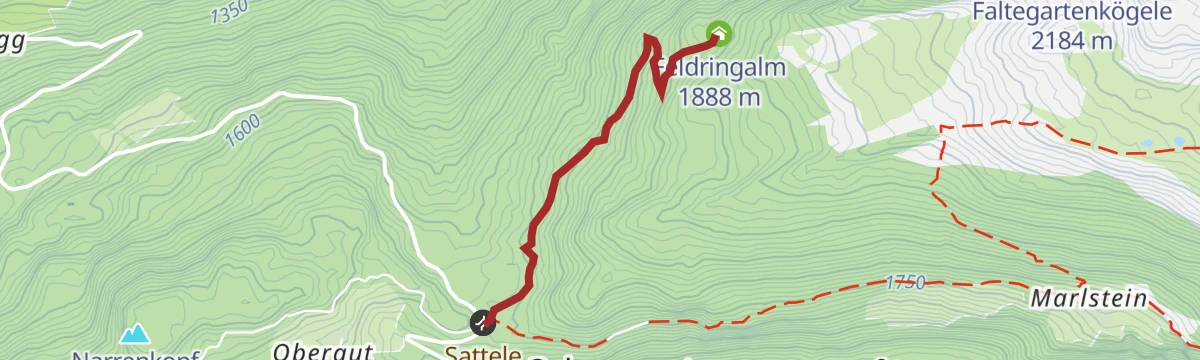
Feldring Alm
Easiest of the Ochsengarten alm walks: a comfortably rising forest road from the Sattele to the Feldring Alm, with a narrow-path shortcut near the top.
Planning a trip to Haiming?
Everything else Tyrol has, in one place


Take Haiming with you into the mountains
Every route on this page with 3D terrain, GPX navigation and offline maps — including the valleys with no signal.
Data sources
- Official website: oetztal.com ↗
- Routes and highlights: Ötztal Tourismus, Imst Tourismus, Innsbruck Tourismus, Climbers Paradise *Neu*, Tirol Werbung, St. Anton am Arlberg, Serfaus-Fiss-Ladis
- Published as open data by the tourist boards named above.
- Region summary generated from the board's own material.
