
 Historic site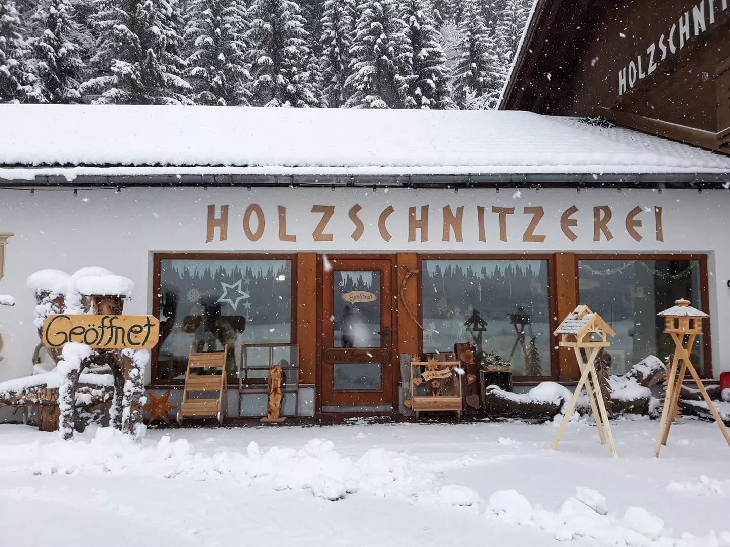
 Viewpoint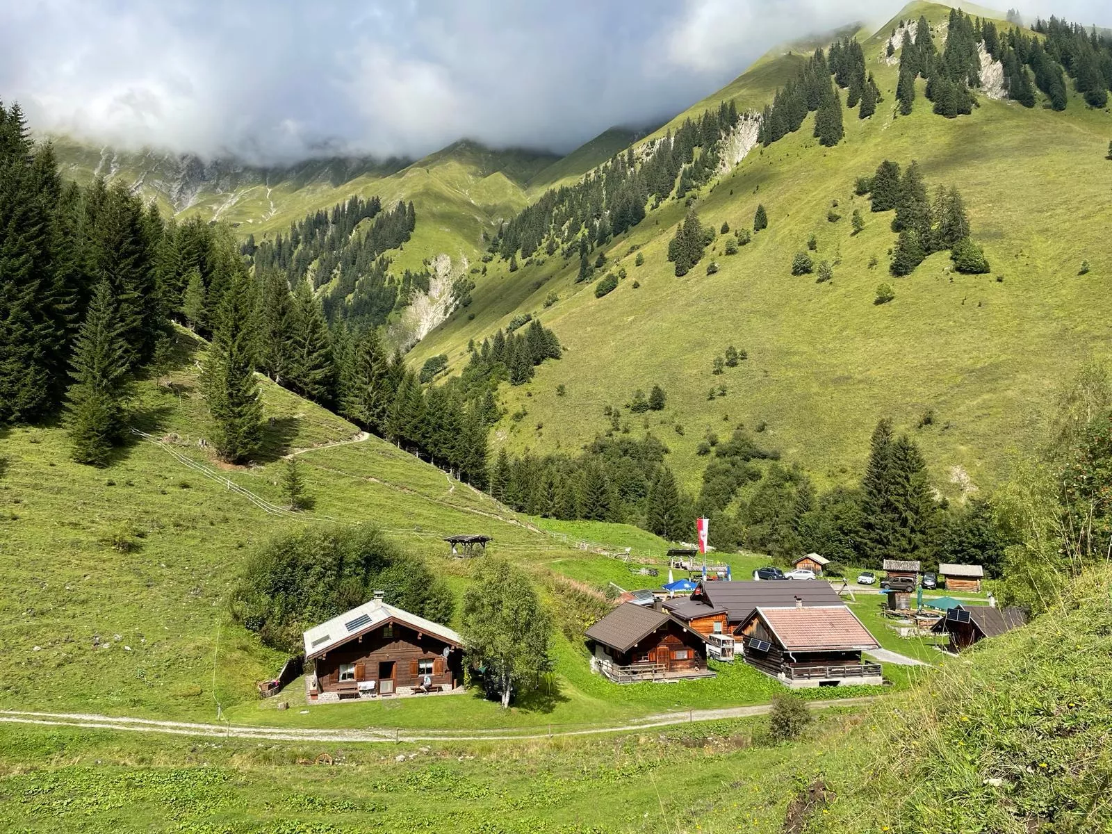

 Cable car















Curated by Lechtal Tourismus
Häselgehr
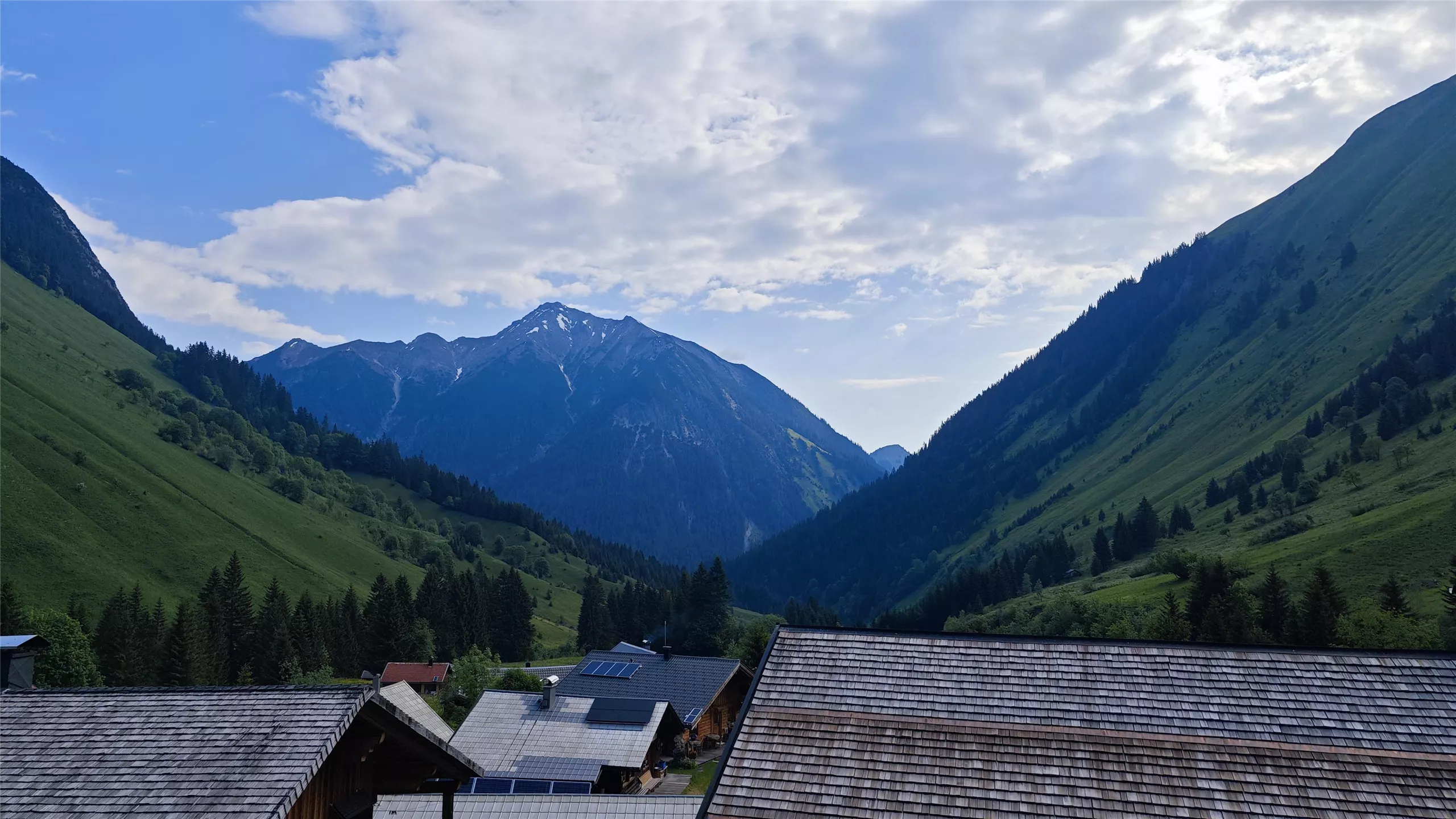
A Lechtal farming village at about 1000 m below the Hornbach chain, with the Doser waterfall nearby and a living wood-carving tradition.
- 4Highlights
- 41Routes
- Featured summit · Bretterspitze
Highlights
11 from neighbouring places
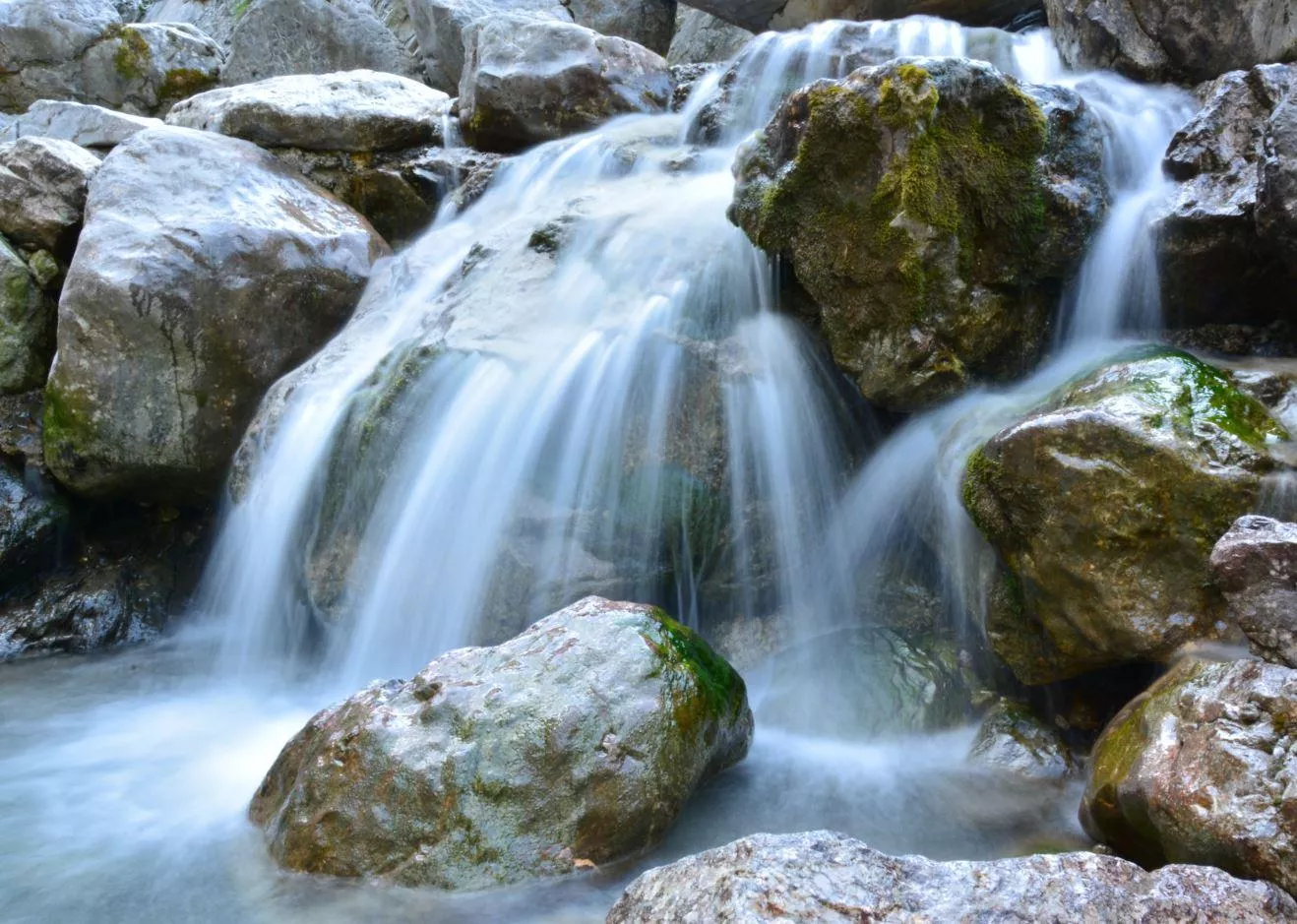
Doser Wasserfall
A waterfall near Häselgehr in the Lechtal, fed by the Doser spring and reached on an easy walk from the village at 1,006 m.
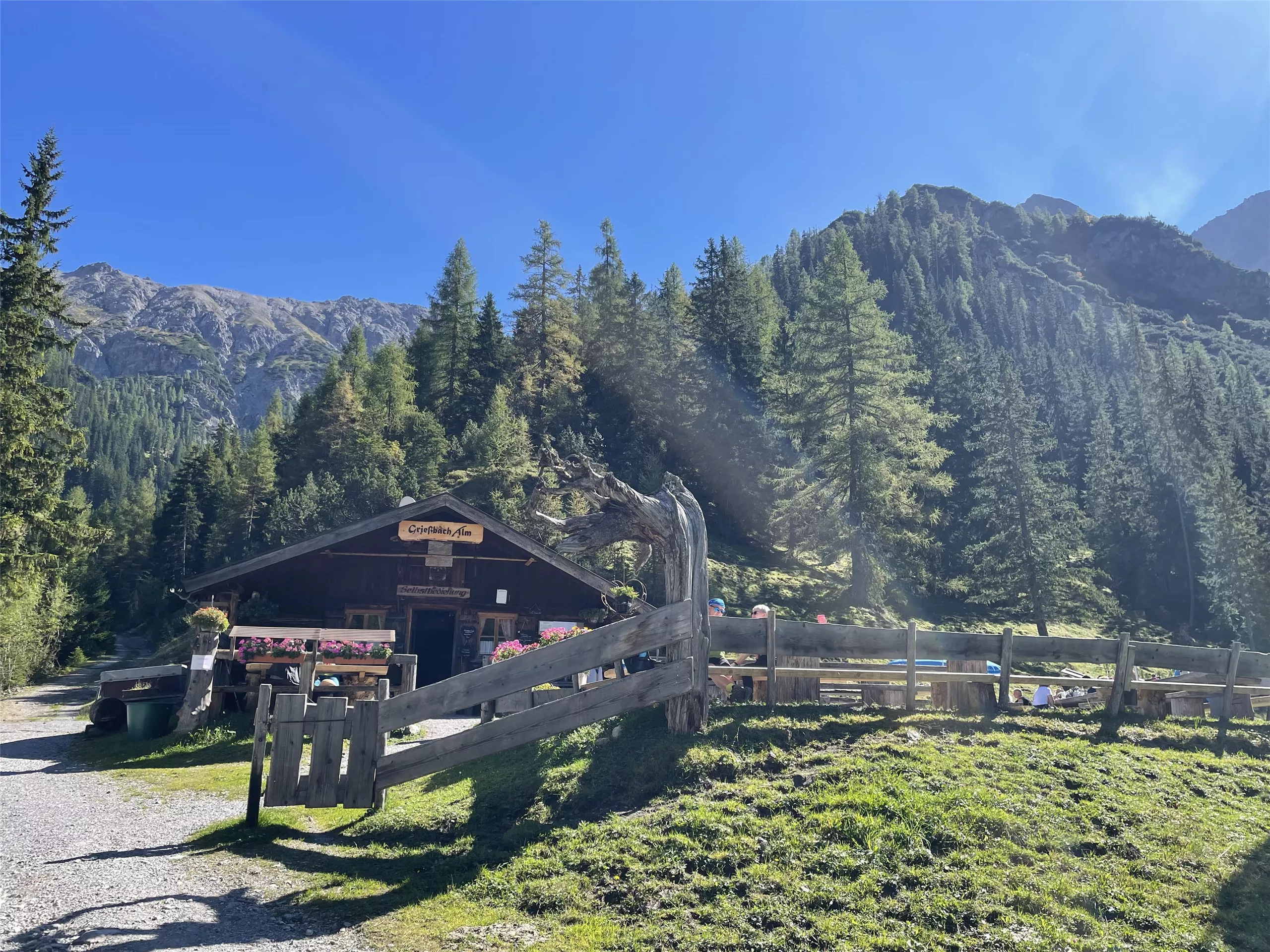
Grießbach Alm 1.496 m
An alpine pasture at 1,496 m above Häselgehr, serving regional dishes to walkers in the Grießbach valley south of the Lech.
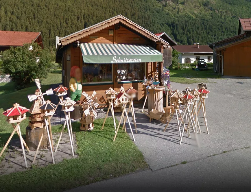
Holzschnitzerei Weißenbach
A wood-carving workshop at Häselgehr open to visitors, showing figures and reliefs made in the Lechtal carving tradition.
Zirba Madle - Holzschnitzereien Melanie Klotz
The carving workshop of Melanie Klotz in Häselgehr, showing hand-carved work in Swiss stone pine with demonstrations and a small exhibition.
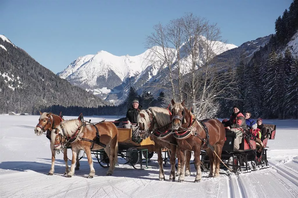
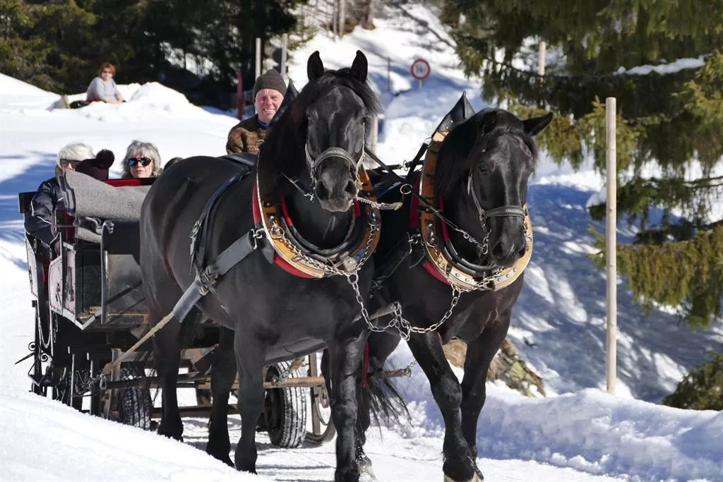
Pferdekutschenfahrt | Jäger Florian
3.5 km away, in Elbigenalp
Horse-drawn carriage and sleigh rides with Florian Jäger at Elbigenalp, touring the meadows of the central Lechtal.
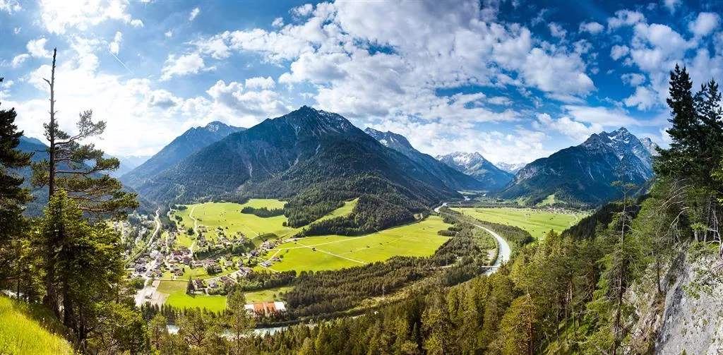
Aussichtsplattform Baichlstein | Lechzopf
3.5 km away, in Elbigenalp
A viewing platform on the Baichlstein above Stanzach, overlooking the Lechzopf, where the Lech divides into braided gravel channels.
Almendorf Fallerschein
3.5 km away, in Elbigenalp
A cluster of old larch-log huts at Fallerschein above Stanzach, an alp village occupied only during the summer months.
Wildbeobachtungsstand Fallerschein
3.5 km away, in Elbigenalp
A wildlife observation stand at Fallerschein above Stanzach, where deer and other game can be watched over the forest meadows.
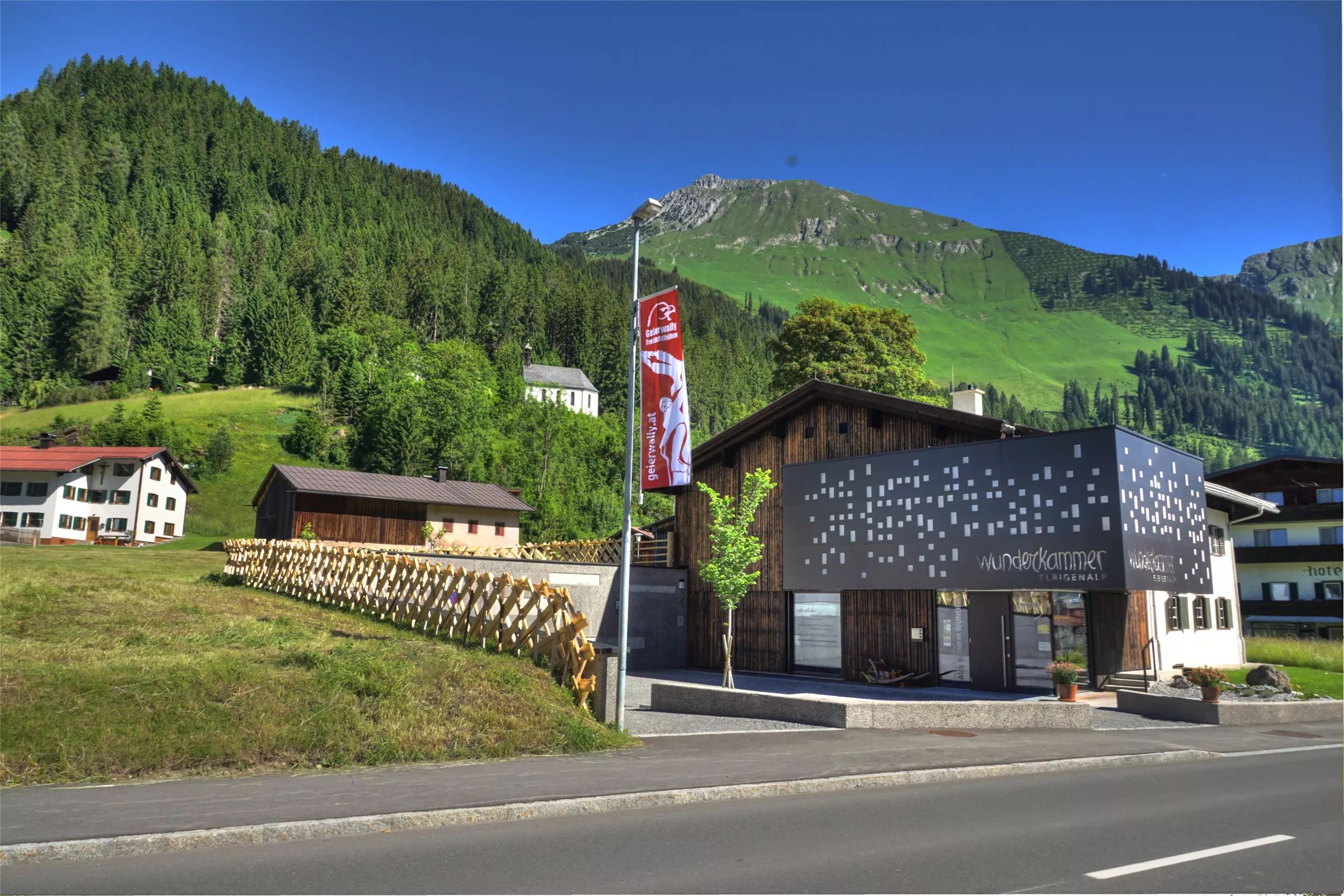
Besucherinformationszentrum Wunderkammer
3.7 km away, in Elbigenalp
The Wunderkammer visitor centre at Elbigenalp, presenting the Lechtal's nature, crafts and history in a compact exhibition.
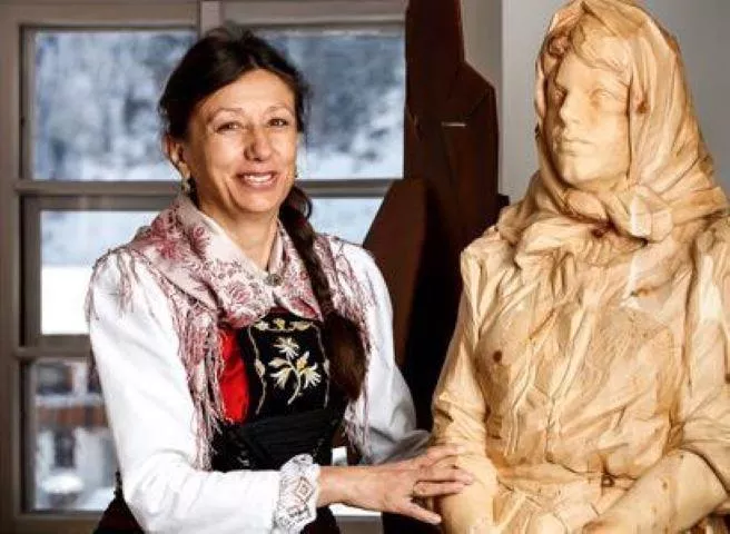
Kulturführerin Mathilde Schlichtherle
3.7 km away, in Elbigenalp
Guided village and culture walks in Elbigenalp with local guide Mathilde Schlichtherle, covering the history, churches and crafts of the Lechtal.
Museum Wunderkammer
3.7 km away, in Elbigenalp
A museum and cultural centre in Elbigenalp presenting changing exhibitions, paintings and collections tied to the Lechtal and its people.
Lechtaler HAUSSEGEN
3.9 km away, in Elbigenalp
A family schnapps distillery in Elbigenalp offering guided visits and tastings of spirits made from local fruit and alpine ingredients.
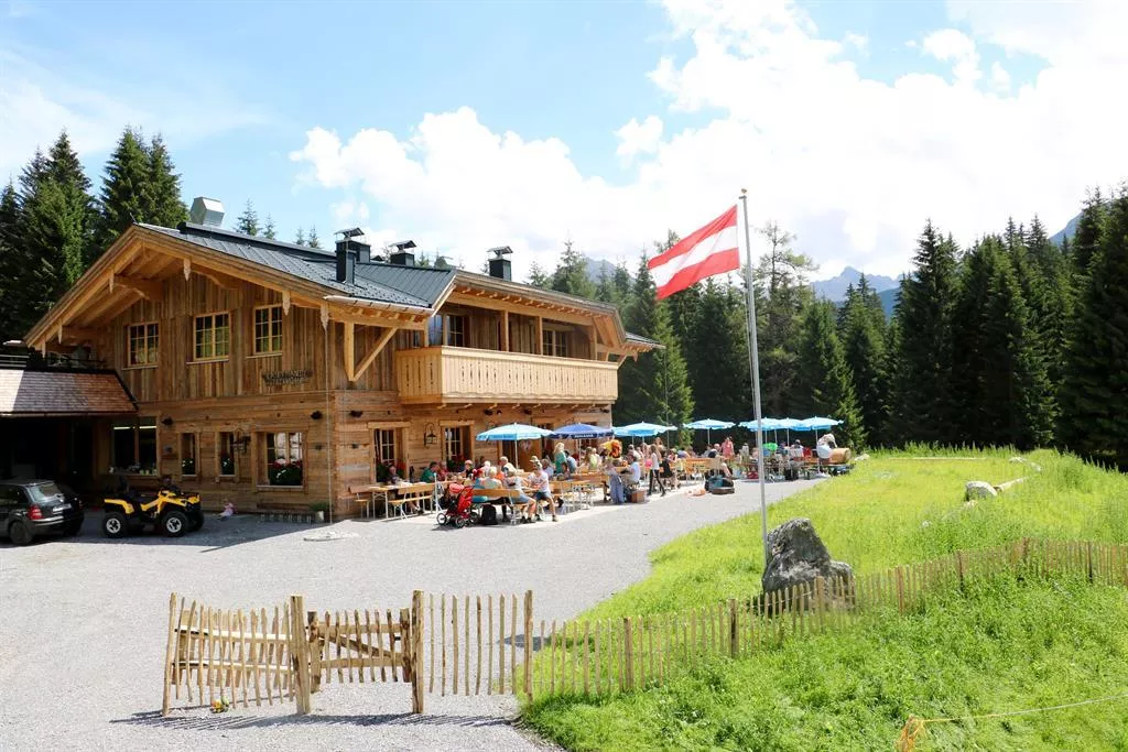
Kasermandl 1.412 m
4 km away, in Elbigenalp
A mountain hut at 1,412 m above Elbigenalp with a small restaurant serving regional and international dishes to walkers on the sunny slope.
Pferdekutschenfahrt | Bals Thomas
4 km away, in Elbigenalp
Horse-drawn carriage rides with the Bals family at Häselgehr, a gentle way to see the Lech valley floor from the road.
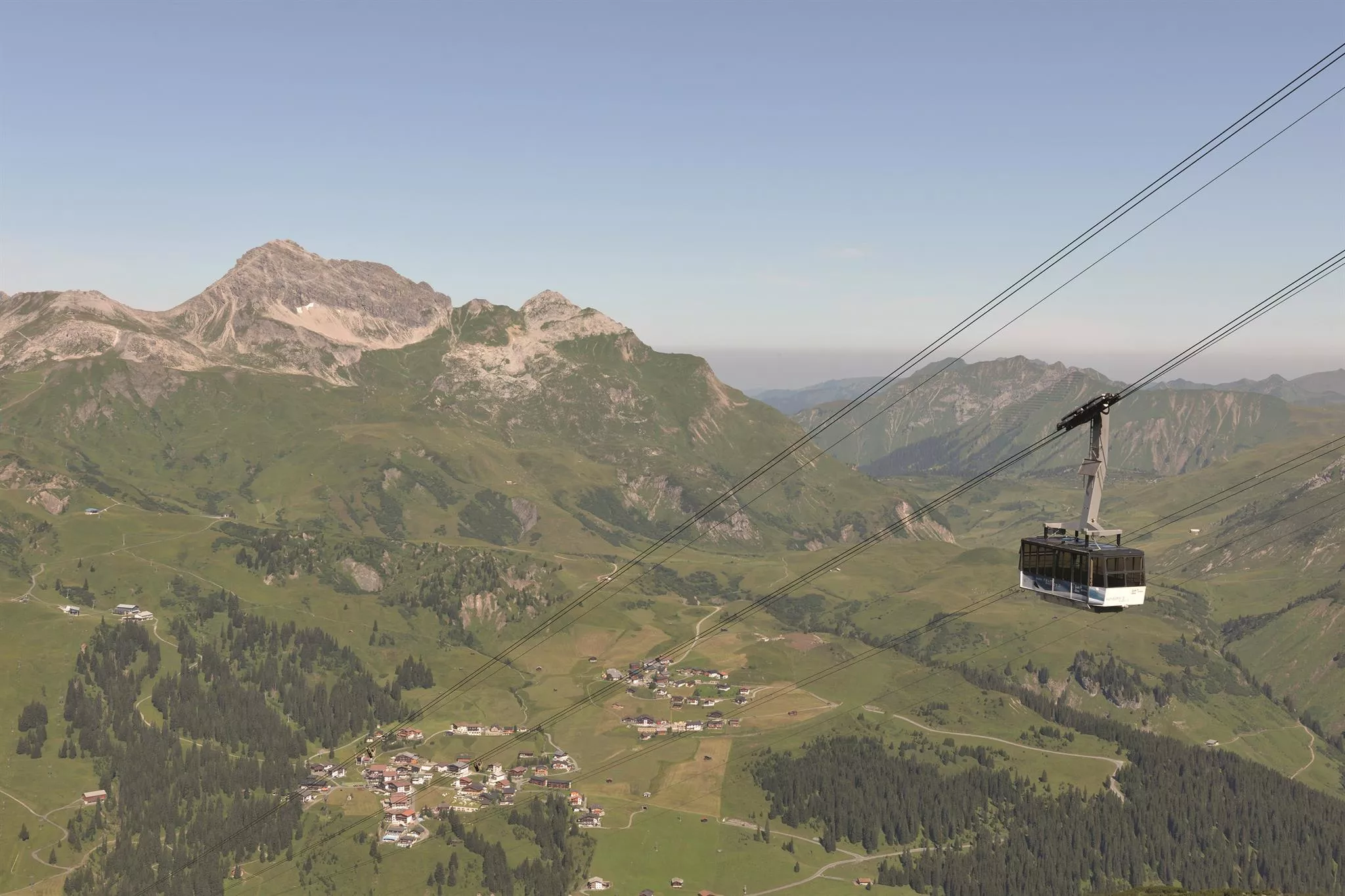
Rüfikopfbahn
4 km away, in Elbigenalp
The cable car from Lech am Arlberg onto the Rüfikopf, giving access at over 2,300 m to ski runs and high walking paths.
Nothing of this kind in Häselgehr.
Routes
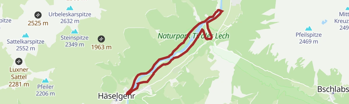
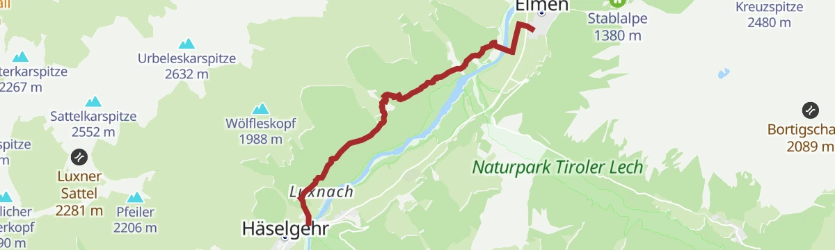
Am Lech entlang: Häselgehr - Elmen
Level winter walk along the Lech from Häselgehr to Elmen, following the river downstream across the open valley floor.
- 6.0 km
- Distance
- 0 m
- Ascent
- 1 h 25 min
- Duration
- 2
- Check-ins
Häselgehr/Grießau - Grießbachalm
Family climb from Grießau near Häselgehr to the Grießbachalm, a steady 400 m ascent to a managed pasture hut.
- 4.7 km
- Distance
- 407 m
- Ascent
- 1 h 49 min
- Duration
- 3
- Check-ins
Lechwegschleife "Bergwald und Schnitzerdorf"
Long Lechweg side loop above Bach and Elbigenalp, threading mountain forest between the Gibler Alm, the Kasermandl hut and the Berggasthof Klapf.
- 16.3 km
- Distance
- 654 m
- Ascent
- 5 h 26 min
- Duration
- 19
- Check-ins
Skitour auf die Woleckleskar-Spitze übers Haglertal
The sheltered Haglertal keeps this 1,520 m tour in condition late into spring, even when the first stretch means carrying skis; the Bretter Spitze can be added.
- 6.1 km
- Distance
- 1 439 m
- Ascent
- 0 m
- Descent
- 3 h 49 min
- Duration
- 3
- Check-ins
Zur Grießbachalm
A direct forest-road climb from the Lech valley to the Grießbachalm at 1,475 m, 460 m of ascent in under 6 km.
- 5.9 km
- Distance
- 444 m
- Ascent
- 47 min
- Duration
- 3
- Check-ins
Lechradweg von Steeg bis Reutte
A long, nearly level run down the Lech valley to Reutte, following the river past the campsite at Vorderhornbach and the Baggersee.
- 53.2 km
- Distance
- 32 m
- Ascent
- 4 h 50 min
- Duration
- 29
- Check-ins
Steeg-Kaisers
A very long day on the road from the Lechtal into the Tannheimer Tal, over the Vils/Lech watershed and past the Haldensee.
- 118.1 km
- Distance
- 1 951 m
- Ascent
- 12 h 19 min
- Duration
- 76
- Check-ins
Doserkopfkapelle Rundweg
Short loop at Häselgehr up to the chapel on the Doserkopf, an easy round with views over the village and the Lech valley.
- 3.3 km
- Distance
- 124 m
- Ascent
- 1 h 4 min
- Duration
- 2
- Check-ins
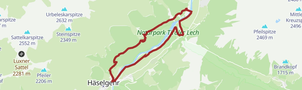
Häselgehr - Klimmer Runde
Level circuit from Häselgehr towards Klimm along flower meadows and the banks of the Lech, one of the Alps' last wild rivers.
- 10.1 km
- Distance
- 43 m
- Ascent
- 2 h 28 min
- Duration
- 2
- Check-ins
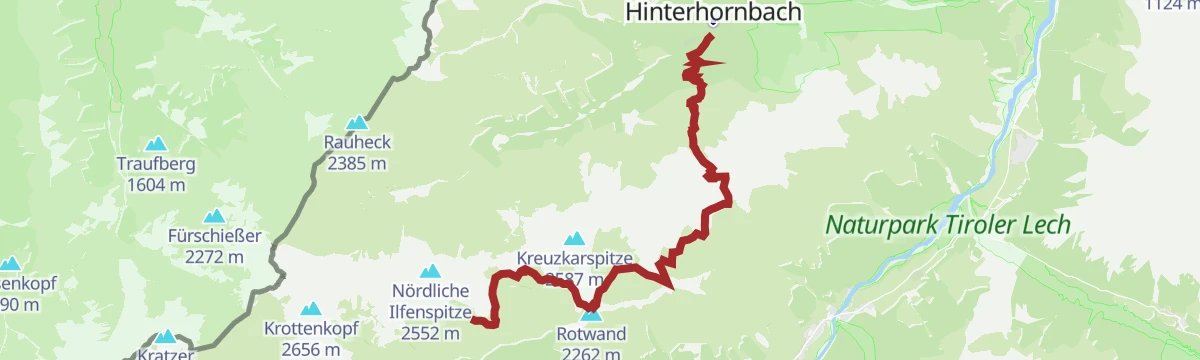
Hermann v. Barth Hütte - Enzensberger Weg - Hinterhornbach
Remote high traverse from the Hermann-von-Barth-Hütte along the Enzensberger Weg past the Kaufbeurer Haus and over the Schwärzerscharte to Hinterhornbach.
- 15.0 km
- Distance
- 609 m
- Ascent
- 6 h 43 min
- Duration
- 9
- Check-ins
Ins Auszeitdorf Gramais
A short climb from the Lech valley up the side valley road to the hamlet of Gramais, 372 m of ascent in under 8 km.
- 7.8 km
- Distance
- 372 m
- Ascent
- 56 min
- Duration
Gravelbike Tour 2.2 - Auszeit Tour
A gravel tour on the tracks and side roads of the upper Lech valley around Häselgehr, with modest climbing and a riverside campsite en route.
- 24.3 km
- Distance
- 513 m
- Ascent
- 2 h 38 min
- Duration
- 2
- Check-ins
Häselgehr-Gramais
A long day linking the Lech valley with the Tannheimer Tal, past the Haldensee and over the Vils-Lech watershed at 1,146 m.
- 87.1 km
- Distance
- 1 626 m
- Ascent
- 9 h 16 min
- Duration
- 62
- Check-ins
Doserwasserfall Rundweg
Easy loop to the Doserwasserfall at Häselgehr, a spring-fed fall that runs dry each 11 November and returns punctually on 23 April.
- 2.5 km
- Distance
- 34 m
- Ascent
- 40 min
- Duration
- 2
- Check-ins
Grießau über Schönwald nach Elbigenalp
Slope-side route from Grießau over the Schönwald to Elbigenalp, climbing past the Hirtenhütte with steady views along the Lechtal.
- 8.2 km
- Distance
- 432 m
- Ascent
- 3 h 6 min
- Duration
- 2
- Check-ins
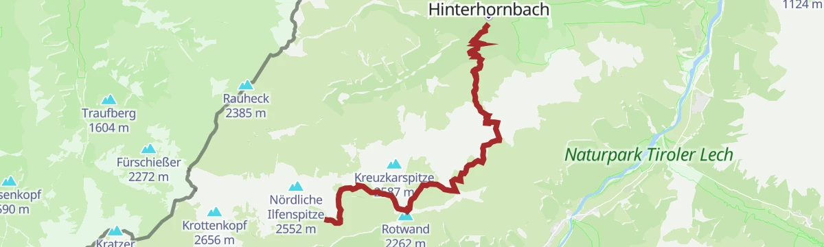
Hinterhornbach - Enzensberger Weg
A quiet high route for experienced hikers, linking the Kaufbeurer Haus and the Hermann-von-Barth-Hütte over the Schwärzerscharte — 1,650 m of climbing through the Hornbachkette.
- 15.0 km
- Distance
- 1 651 m
- Ascent
- 8 h 3 min
- Duration
- 9
- Check-ins
Gravelbike Tour 2.2 - Auszeit Tour
A ride on the valley roads and gravel of the Lechtal near Häselgehr, rolling rather than flat, with the Lech alongside for much of the way.
- 24.3 km
- Distance
- 873 m
- Ascent
- 2 h 59 min
- Duration
- 2
- Check-ins
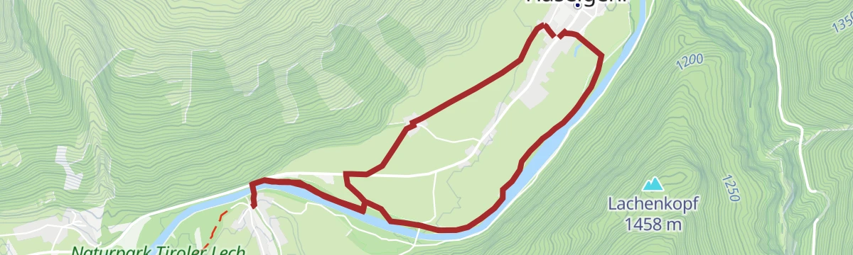
Häselgehr - Rauchwandrunde
Flat loop below the Rauchwand at Häselgehr, a smooth round equally popular with walkers, runners and cyclists.
- 6.3 km
- Distance
- 24 m
- Ascent
- 1 h 32 min
- Duration
- 2
- Check-ins
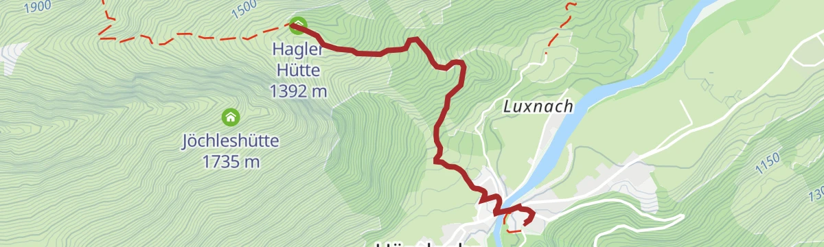
Häselgehr zur Haglertalhütte
Short, steep climb from Häselgehr into the Haglertal to the unstaffed Hagler Hütte, gaining about 400 m on forest paths.
- 2.4 km
- Distance
- 396 m
- Ascent
- 1 h 31 min
- Duration
- 1
- Check-ins
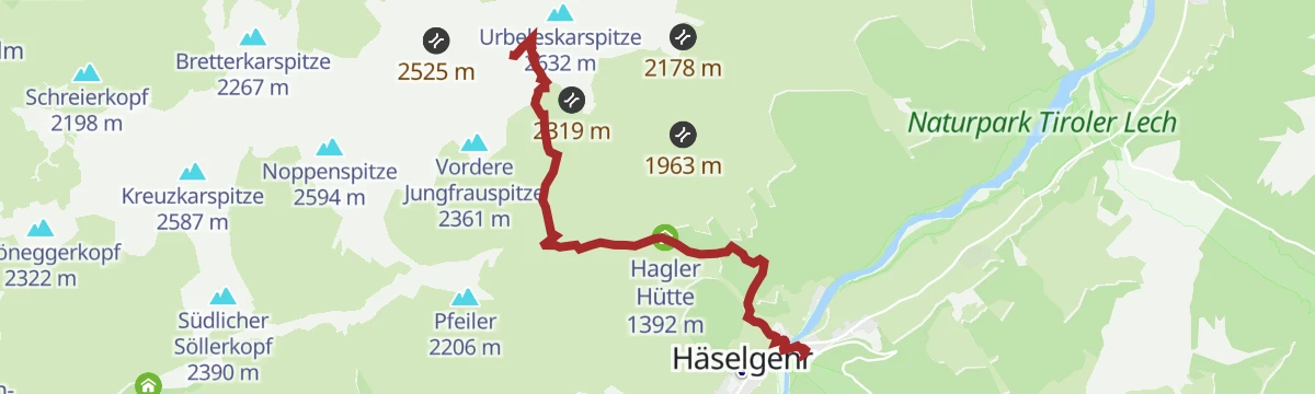
Bretterspitze
Big, rough day from Häselgehr to the Bretterspitze, climbing past the Hagler Hütte and the Griesschartl with some 1,600 m of ascent.
- 6.3 km
- Distance
- 1 618 m
- Ascent
- 5 h 50 min
- Duration
- 6
- Check-ins
Elbigenalp - Duarfer Feldwegrunde
Easy field-track loop through Elbigenalp past the Brunnwasser, a flat village round well suited to an evening stroll.
- 4.8 km
- Distance
- 38 m
- Ascent
- 1 h 13 min
- Duration
- 1
- Check-ins
 Brunnwasser 1 024 m
 Tiroler Lechtal - Tourismusinformation Elbigenalp 1 055 m
Elbigenalp - Grießau Feldrunde
Level field-path loop from Elbigenalp to Grießau and back, an easy round across the valley meadows with barely any ascent.
- 7.6 km
- Distance
- 58 m
- Ascent
- 1 h 56 min
- Duration
Häselgehr-Haglertal-Hermann v. Barth-Hütte
Long ascent from Häselgehr through the Haglertal, climbing past the Hagler Hütte and over the Balschtesattel to the Hermann-von-Barth-Hütte.
- 11.7 km
- Distance
- 1 332 m
- Ascent
- 5 h 56 min
- Duration
- 6
- Check-ins
Elbigenalp - Pfarrer Innerhofer Runde
Flat loop around Elbigenalp named after a local priest, equally popular for running, Nordic walking and easy strolling.
- 5.1 km
- Distance
- 78 m
- Ascent
- 1 h 23 min
- Duration
- 1
- Check-ins
- Brunnwasser 1 024 m
Elbigenalp - Wanderung Grünau-Grießau
Cultural round from Elbigenalp through Grünau and Grießau, passing the plague chapel, the parish church with its bone house and the Wunderkammer village museum.
- 8.0 km
- Distance
- 206 m
- Ascent
- 2 h 23 min
- Duration
Häselgehr-Luxnacher Sattel-Hermann v. Barth Hütte
Extended mountain route from Häselgehr over the Luxnacher Sattel to the Hermann-von-Barth-Hütte, joining the Haglertal approach near the Hagler Hütte.
- 11.5 km
- Distance
- 1 331 m
- Ascent
- 5 h 53 min
- Duration
- 6
- Check-ins
Elmen - Häselgehr Familienfreundliche Lechweg Wanderung
Family-friendly Lechweg walk from Elmen to Häselgehr, an almost level riverside stretch beside the braided channels of the Lech.
- 5.3 km
- Distance
- 47 m
- Ascent
- 1 h 20 min
- Duration
Häselgehr - Fuchsloch-Runde
Level round from Häselgehr past the Farberhaus and through the Fuchsloch meadows, close to the rushing Lech for much of the way.
- 9.2 km
- Distance
- 65 m
- Ascent
- 2 h 19 min
- Duration
Hinterhornbach-Kaufbeurer Haus-Haglertal-Häselgehr
A full crossing of the Hornbachkette: up to the Kaufbeurer Haus, over the Schwärzerscharte and down the quiet Haglertal past the Hagler Hütte to Häselgehr.
- 12.2 km
- Distance
- 1 423 m
- Ascent
- 8 h 42 min
- Duration
- 5
- Check-ins
Grießau über Innerhoferweg nach Elbigenalp
Relaxed walk from Grießau to Elbigenalp on the Innerhoferweg, a gently rising path along the slope above the valley meadows.
- 6.3 km
- Distance
- 245 m
- Ascent
- 2 h 4 min
- Duration
Lechwegschleife "An den Wasserfällen"
Lechweg side loop from Elmen linking side streams and waterfalls, a varied round through protection forest and river meadows.
- 10.9 km
- Distance
- 208 m
- Ascent
- 3 h 3 min
- Duration
Häselgehr - Kaufbeurer Haus - Hinterhornbach
Very alpine crossing from Häselgehr over the Gliegerscharte to the Kaufbeurer Haus and down to Hinterhornbach, brushing the fore-summit of the Gliegerkarspitze.
- 12.0 km
- Distance
- 1 534 m
- Ascent
- 8 h 52 min
- Duration
- 5
- Check-ins
Häselgehr - Grießau Runde
Flat loop from Häselgehr to Grießau and back past the Farberhaus, an easy round on the valley floor.
- 6.1 km
- Distance
- 10 m
- Ascent
- 1 h 27 min
- Duration
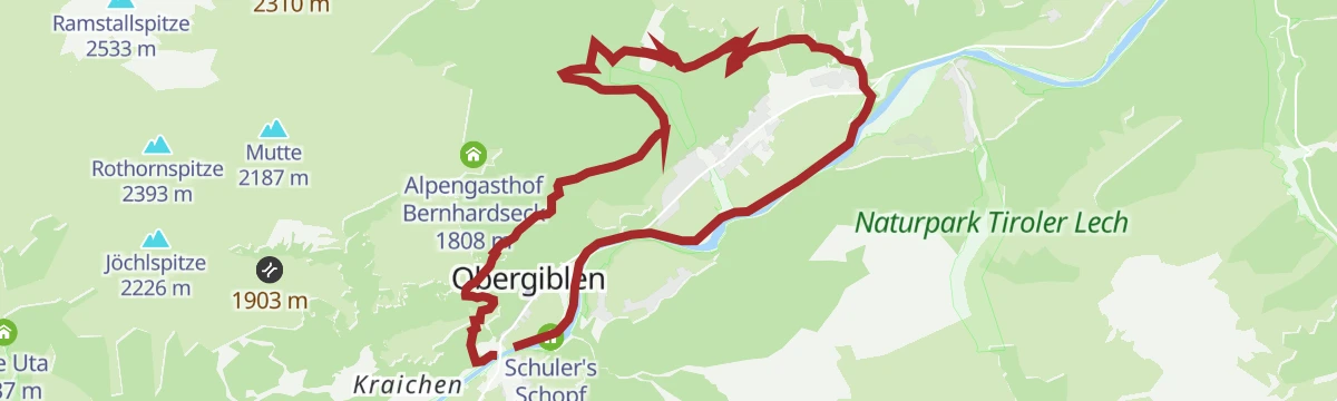
Lechweg - Gemütliche Variante - Etappe 5 - Bach bis Elmen
Relaxed Lechweg stage keeping to the valley floor from Bach to Elmen, passing Schuler's Schopf and a string of villages beside the young Lech.
- 14.9 km
- Distance
- 206 m
- Ascent
- 4 h 2 min
- Duration
Lechweg - Klassische Variante - Etappe 5 - Elbigenalp bis Stanzach
Long classic Lechweg stage from Elbigenalp to Stanzach, following the river downstream past Häselgehr and Elmen with modest climbing spread over nearly 20 km.
- 19.5 km
- Distance
- 404 m
- Ascent
- 5 h 38 min
- Duration
- 5
- Check-ins
Lechweg Abschnitt: Elbigenalp - Häselgehr
Easy, level Lechweg leg from Elbigenalp to Häselgehr, a short riverside link between the two villages.
- 5.8 km
- Distance
- 0 m
- Ascent
- 1 h 22 min
- Duration
Häselgehr-Wannenspitze-Grießbachalm
Committing ridge round from Häselgehr over the Karlesspitze, both Zwickspitzen and the Wannenspitze, descending via the Wieslejoch to the Grießbachalm.
- 17.7 km
- Distance
- 1 476 m
- Ascent
- 9 h 26 min
- Duration
- 3
- Check-ins
Lechweg Abschnitt: Häselgehr - Elmen
Lechweg leg from Häselgehr to Elmen passing the Doser Wasserfall, whose water springs from a rock grotto and once drove a mill.
- 6.3 km
- Distance
- 195 m
- Ascent
- 1 h 59 min
- Duration
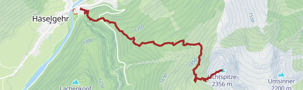
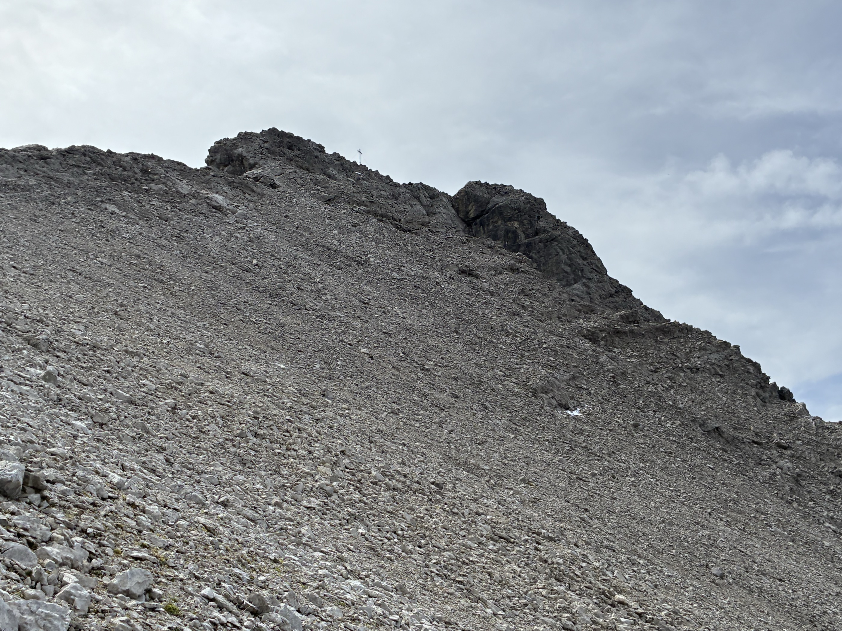
Häselgehr - Lichtspitze
Steep and in places demanding route from Häselgehr to the Lichtspitze, cramming nearly 1,400 m of ascent into a little over four kilometres.
- 4.4 km
- Distance
- 1 370 m
- Ascent
- 4 h 50 min
- Duration
Häselgehr - Schönau Runde
A flat valley loop on the floor of the Tirolean Lechtal, circling the meadows between the village and the hamlet of Schönau — an easy stroll with barely any climbing.
- 4.5 km
- Distance
- 10 m
- Ascent
- 1 h 4 min
- Duration
Häselgehrer Lechauenrunde
Level loop through the Lech riverside meadows at Häselgehr, following the braided gravel banks of one of the last wild rivers in the Alps.
- 5.3 km
- Distance
- 10 m
- Ascent
- 1 h 16 min
- Duration
No routes of this kind in Häselgehr yet.
The region's own picks

Featured route
Am Lech entlang: Häselgehr - Elmen
Level winter walk along the Lech from Häselgehr to Elmen, following the river downstream across the open valley floor.
Planning a trip to Häselgehr?
Everything else Tyrol has, in one place


Take Häselgehr with you into the mountains
Every route on this page with 3D terrain, GPX navigation and offline maps — including the valleys with no signal.
Data sources
- Official website: lechtal.at ↗
- Routes and highlights: Lechtal Tourismus, Tannheimer Tal, Naturparkregion Reutte
- Published as open data by the tourist boards named above.
- Region summary generated from the board's own material.
