
Curated by Piemonte Outdoor
Groscavallo
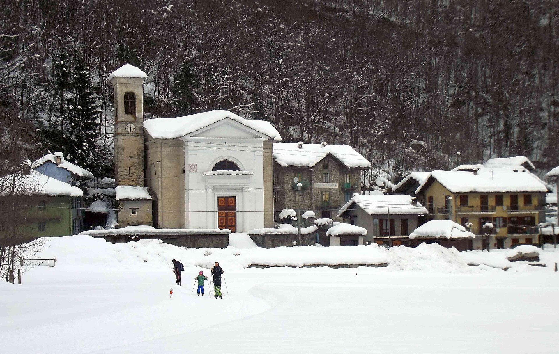
Scattered comune at the head of the Val Grande di Lanzo, under the Levanna peaks on the French border.
- 5Highlights
- 7Routes
Highlights
All 5 from neighbouring places
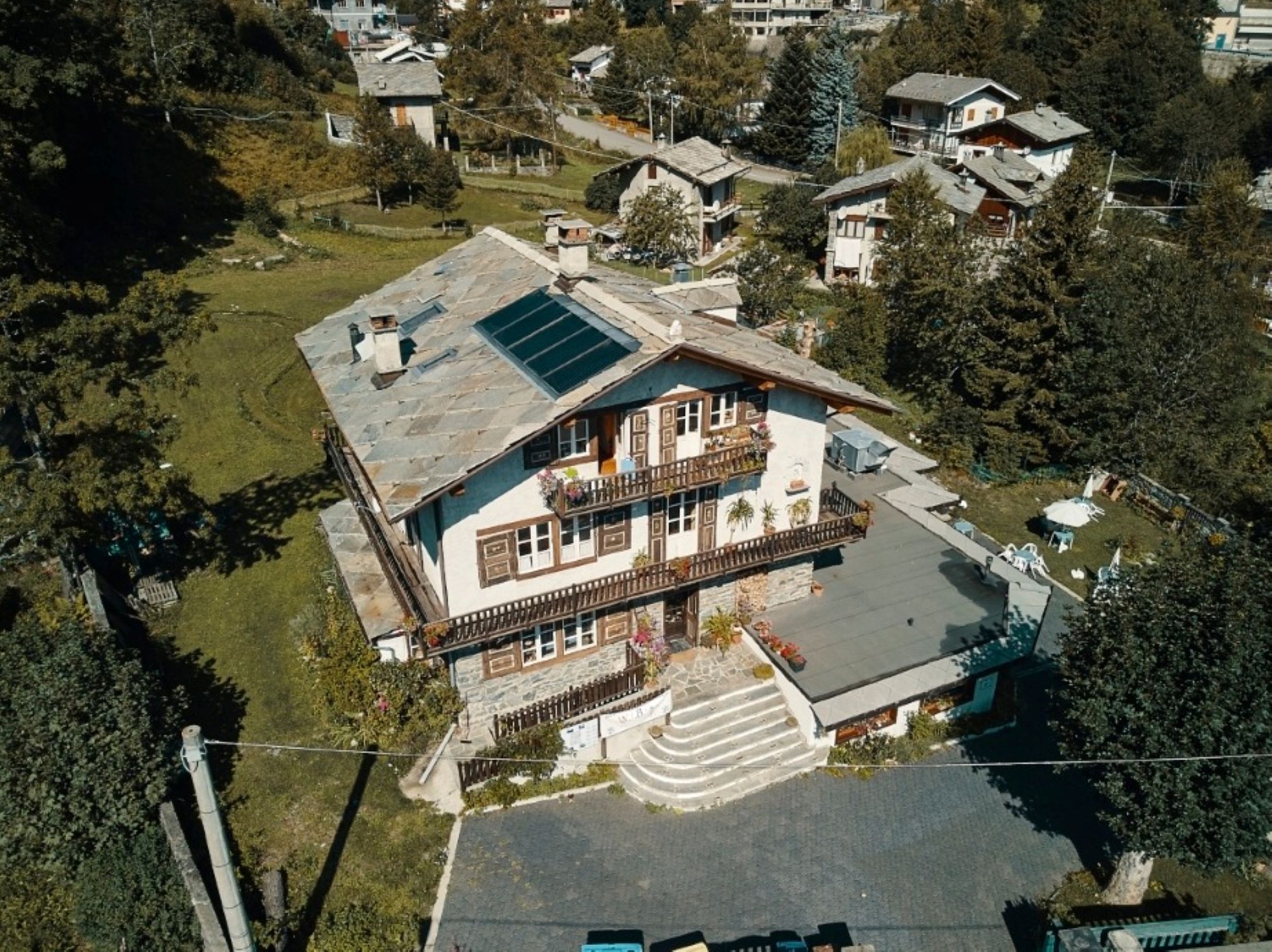
Rifugio Les Montagnards
7.5 km away, in Balme
A hut in the middle of Balme, the village of guides at the head of the Val d'Ala.
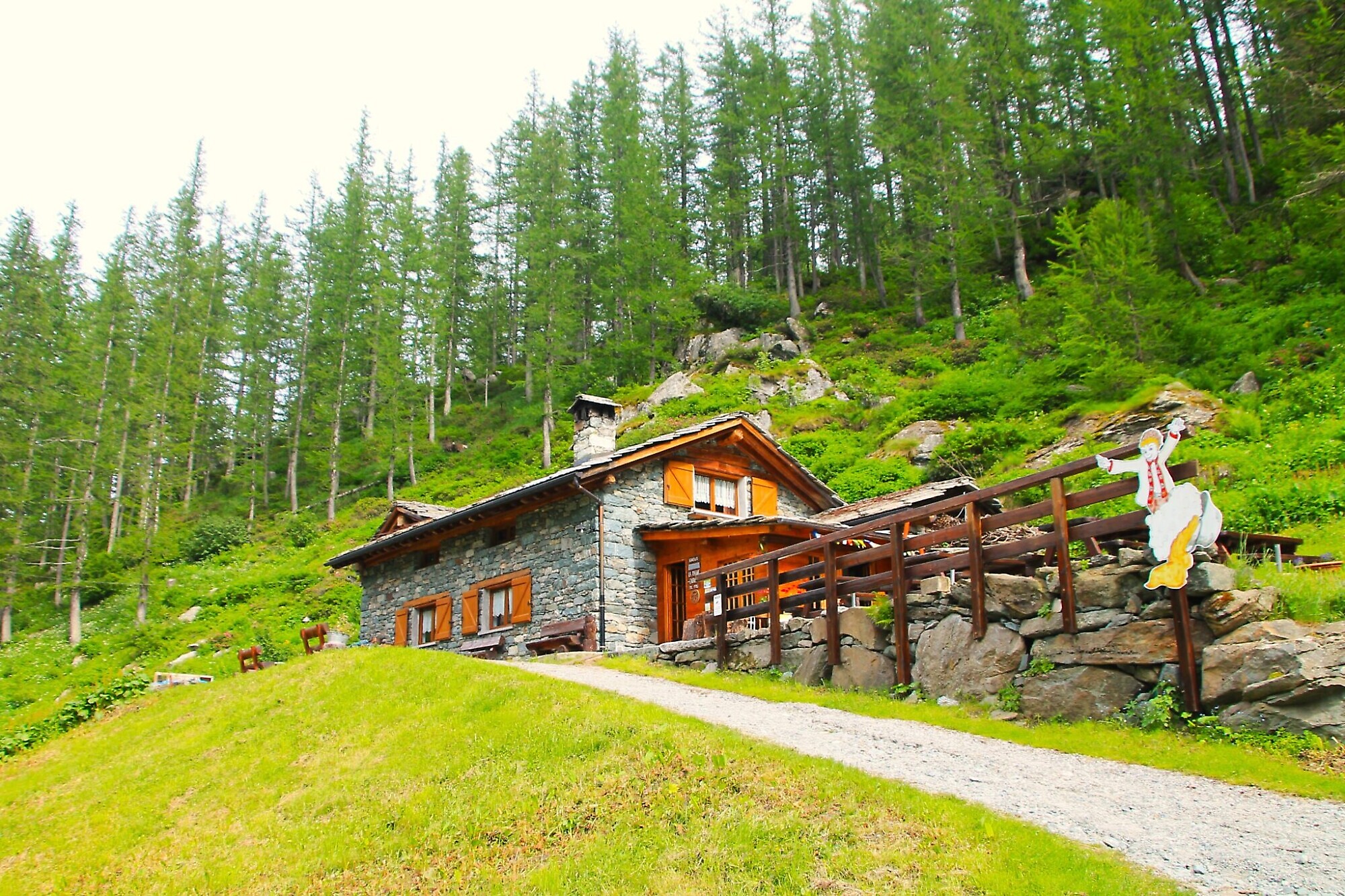
Rifugio La Masinà
8.1 km away, in Balme
A refreshment stop on the Pian della Mussa, facing the peaks that close the Valli di Lanzo.
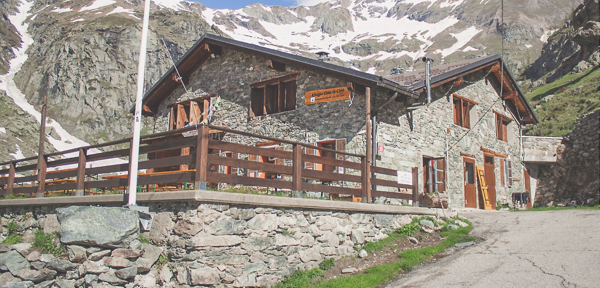
Rifugio Ciriè
8.8 km away, in Balme
A walkers' hut at the head of the Pian della Mussa, the broad pasture basin that closes the Val d'Ala above Balme.
Rifugio Gastaldi
10.6 km away, in Balme
A CAI Torino alpine hut in the cirque above the Pian della Mussa, the usual base for the Uja di Ciamarella and Bessanese.
Rifugi
10.6 km away, in Balme
The huts of Balme and the Pian della Mussa, at the head of the Val d'Ala in the Valli di Lanzo.
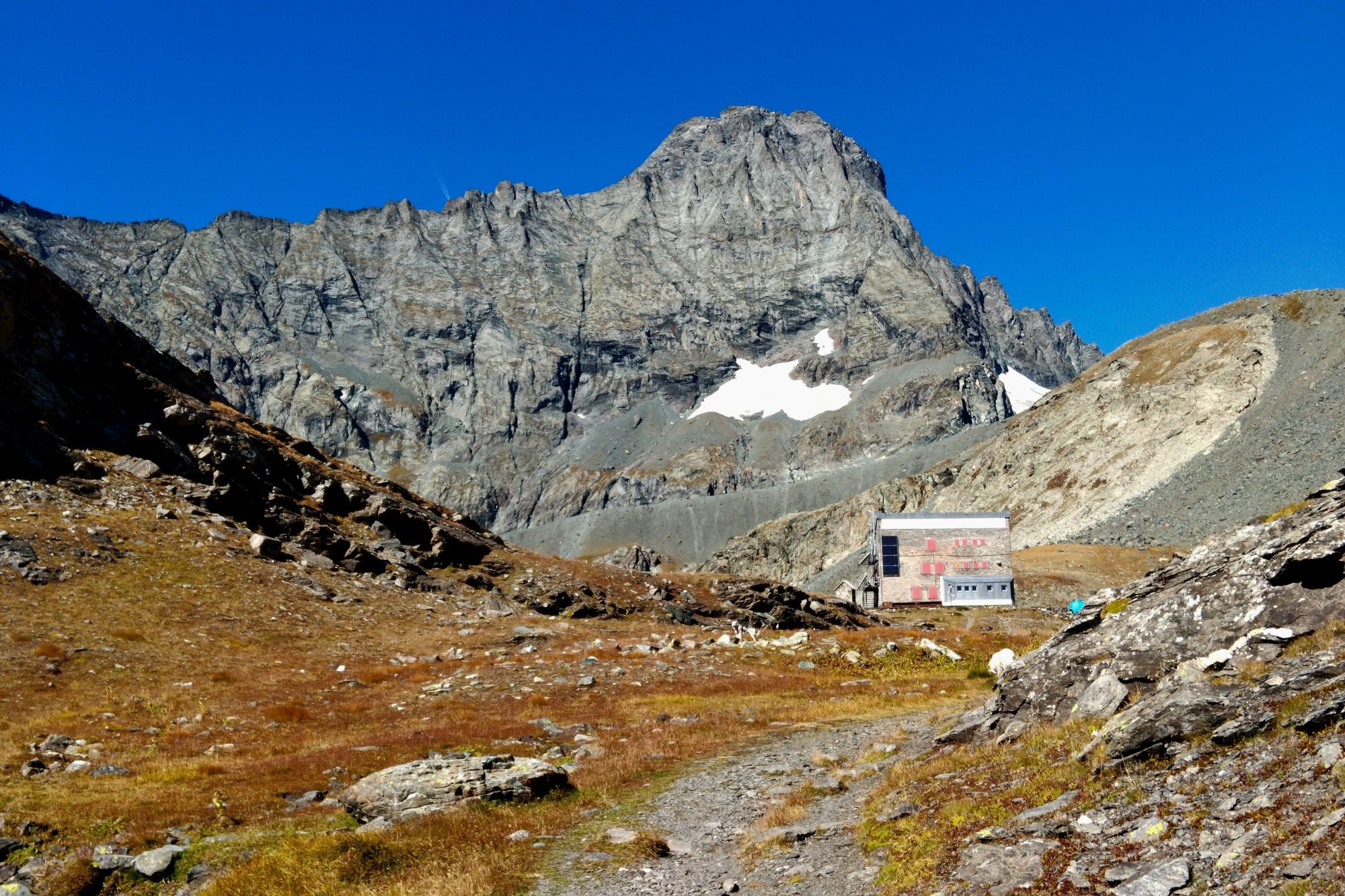
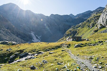
Nothing of this kind in Groscavallo.
Routes
13 from neighbouring places
Alta Via delle Valli di Lanzo: Tappa 2 Rifugio Daviso
A stage of the Lanzo valleys high route climbing to the Rifugio Daviso above Groscavallo, at the head of the Val Grande.
- 7.1 km
- Distance
- 735 m
- Ascent
- 5 h 15 min
- Duration
- 11
- Check-ins
Alta Via delle Valli di Lanzo: Tappa 3 Bivacco Gias Nuovo
A stage of the Lanzo valleys high route climbing to the Gias Nuovo bivouac in the mountains above Balme.
- 9.1 km
- Distance
- 1 059 m
- Ascent
- 6 h 18 min
- Duration
- 28
- Check-ins
Alta Via delle Valli di Lanzo: Tappa 1A Forno Alpi Graie
A variant first stage of the Lanzo valleys high route from Forno Alpi Graie, longer and gentler than the direct climb.
- 11.0 km
- Distance
- 589 m
- Ascent
- 6 h 14 min
- Duration
- 8
- Check-ins
Alta Via Canavesana: Tappa 5 Alpe Vailet
A high stage above Ceresole Reale over the Colle della Crocetta and Colle della Terra Fertà, past Lago d'Unghiasse and the Bivacco Cecilia Genisio.
- 13.9 km
- Distance
- 2 721 m
- Ascent
- 15 h 11 min
- Duration
- 9
- Check-ins
Tre Vallate: Tappa 6 Frazione Pialpetta
The sixth stage of the Tre Vallate circuit, starting from Pialpetta in the Val Grande di Lanzo.
- 8.8 km
- Distance
- 643 m
- Ascent
- 4 h 32 min
- Duration
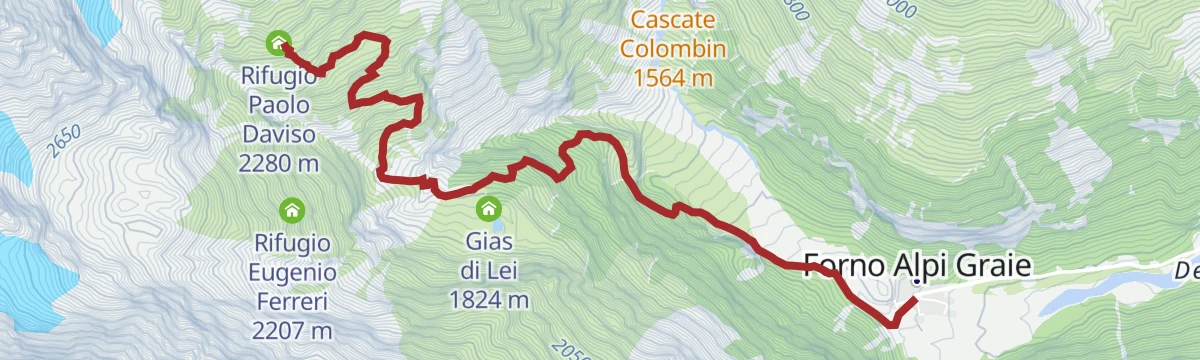
Alta Via delle Valli di Lanzo: Tappa 1 Frazione Forno Alpi Graie
The opening stage of the Lanzo valleys high route, climbing steeply out of Forno Alpi Graie at the head of the Val Grande.
- 6.1 km
- Distance
- 1 118 m
- Ascent
- 4 h 16 min
- Duration
- 6
- Check-ins
Tre Vallate: Tappa 5 Borgata Vonzo
A long stage past the Bivacco Cecilia Genisio to Lago d'Unghiasse, crossing the Colle della Terra d'Unghiasse high above Groscavallo.
- 22.3 km
- Distance
- 1 702 m
- Ascent
- 11 h 24 min
- Duration
 Bivacco Cecilia Genisio 2 230 m
 Lago d'Unghiasse 2 472 m
 Colle della Terra d'Unghiasse 2 668 m
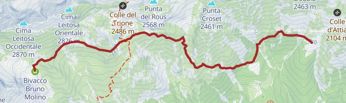
Tour dell'Uja: Tappa 3 Alpe d’Attia
4.7 km away, in Balme
A stage of the circuit of the Uja di Mondrone, ending at the Alpe d'Attia above Balme in the Val d'Ala.
- 7.7 km
- Distance
- 343 m
- Ascent
- 3 h 36 min
- Duration
- 2
- Check-ins
Alta Via Canavesana: Tappa 6 Ceresole Reale (Fraz. Villa)
8.3 km away, in Ceresole Reale
A demanding stage of the Canavesana high route, ending at the hamlet of Villa in Ceresole Reale in the Orco valley.
- 10.9 km
- Distance
- 3 005 m
- Ascent
- 16 h 15 min
- Duration
- 5
- Check-ins
- Colle della Porta 3 001 m
- Bivacco Giraudo 2 630 m
- Lago Piatta 2 668 m
Tour dell'Uja: Tappa 2 Borgata Bracchiello
6.4 km away, in Ala di Stura
The second stage of a multi-day circuit in the Stura valley, walking between hamlets above Ala di Stura and over the Colle d'Attia.
- 8.1 km
- Distance
- 427 m
- Ascent
- 4 h 42 min
- Duration
- 1
- Check-ins
Alta Via delle Valli di Lanzo: Tappa 4 Rifugio Città di Ciriè
8.8 km away, in Balme
A stage of the Lanzo valleys high route ending at the Rifugio Città di Ciriè, over the Rocca Venoni above Balme.
- 12.0 km
- Distance
- 1 402 m
- Ascent
- 6 h 59 min
- Duration
- 68
- Check-ins
Trek Calcante: Tappa 2C Alpe Longimala
10.2 km away, in Ala di Stura
A high stage in the mountains above Viù, crossing the Colle Tre Laiet at over 2,200 metres on the way to the alp on the far side.
- 11.6 km
- Distance
- 823 m
- Ascent
- 5 h 58 min
- Duration
- 3
- Check-ins
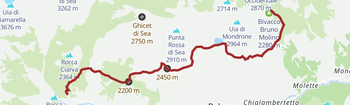
Tour dell'Uja: Tappa 4 Bivacco Molino
8.8 km away, in Balme
A stage of the circuit round the Uja di Mondrone, finishing at the Molino bivouac above the Val d'Ala.
- 9.9 km
- Distance
- 1 176 m
- Ascent
- 6 h 15 min
- Duration
- 28
- Check-ins
- Rifugio Città di Ciriè 1 850 m
- Bivacco Bruno Molino 2 280 m
- Lago del Ru 2 574 m
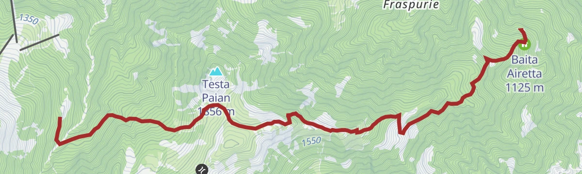
Trek Calcante: Tappa 2B Cappella della Consolata
13.5 km away, in Mezzenile
A short, steep stage above Mezzenile in the Valli di Lanzo, climbing past the Baita Airetta to a hillside chapel.
- 7.6 km
- Distance
- 802 m
- Ascent
- 4 h 15 min
- Duration
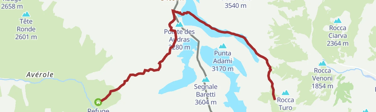
Tour della Bessanese: Tappa 3 Refuge Avérole
10.6 km away, in Balme
A stage of the Bessanese circuit crossing the watershed from Balme to the Refuge d'Avérole on the French side.
- 9.0 km
- Distance
- 1 100 m
- Ascent
- 6 h 32 min
- Duration
- 22
- Check-ins
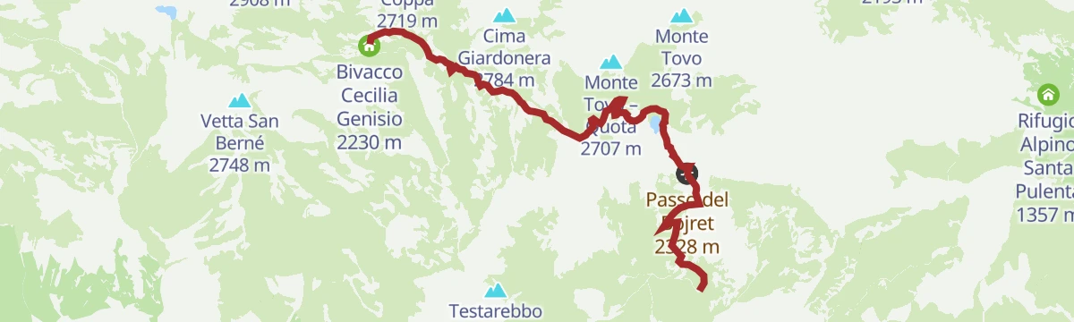
Alta Via Canavesana: Tappa 4 Santuario Madonna di Ciavanis
11 km away, in Chialamberto
A high stage above Chialamberto crossing the Colle Forca and the Passo del Bojret, past the Lago del Boiret and the Bivacco Cecilia Genisio.
- 7.4 km
- Distance
- 2 458 m
- Ascent
- 13 h 7 min
- Duration
- Lago Pian di Lee 2 290 m
- Colle Forca 2 548 m
- Lago del Boiret 2 254 m
- Passo del Bojret 2 328 m
- Bivacco Cecilia Genisio 2 230 m
Giroparco Gran Paradiso Tappa 3: Noasca
11.3 km away, in Noasca
A long walking stage over the high ground above the Orco valley, descending at the end to the village of Noasca.
- 15.5 km
- Distance
- 1 000 m
- Ascent
- 6 h 50 min
- Duration
Giroparco Gran Paradiso Tappa 2: Bivacco Giraudo
12 km away, in Noasca
A long stage above Noasca, calling at the Rifugio Casa di Caccia del Gran Piano before the final pull to a bivouac hut at 2,630 metres.
- 15.3 km
- Distance
- 169 m
- Ascent
- 5 h 31 min
- Duration
- 1
- Check-ins
Alta Via Canavesana: Tappa 7 Bivacco Giraudo
12 km away, in Noasca
A long, demanding stage in the mountains above Noasca, crossing the Bocchetta del Ges between two high bivouac huts.
- 14.3 km
- Distance
- 2 743 m
- Ascent
- 15 h 21 min
- Duration
- 2
- Check-ins
Tour dell'Uja: Tappa 1 Borgata Trambiè
11.4 km away, in Cantoira
A first stage out of Cantoira in the Valli di Lanzo, climbing over the Colle Balance and the shoulder of Monte di Santa Cristina.
- 10.8 km
- Distance
- 956 m
- Ascent
- 5 h 46 min
- Duration
- 15
- Check-ins
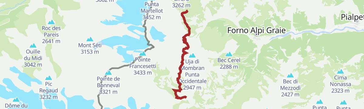
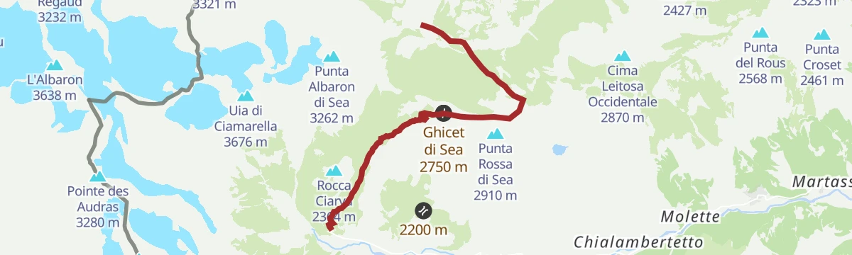







No routes of this kind in Groscavallo yet.
Planning a trip to Groscavallo?
Everything else Piedmont has, in one place


Take Groscavallo with you into the mountains
Every route on this page with 3D terrain, GPX navigation and offline maps — including the valleys with no signal.
Data sources
- Official website: turismotorino.org ↗
- Routes and highlights: Piemonte Outdoor, Turismovallidilanzo
- Published as open data by the tourist boards named above.
- Region summary generated from the board's own material.
