
Curated by Val Seriana
Gromo
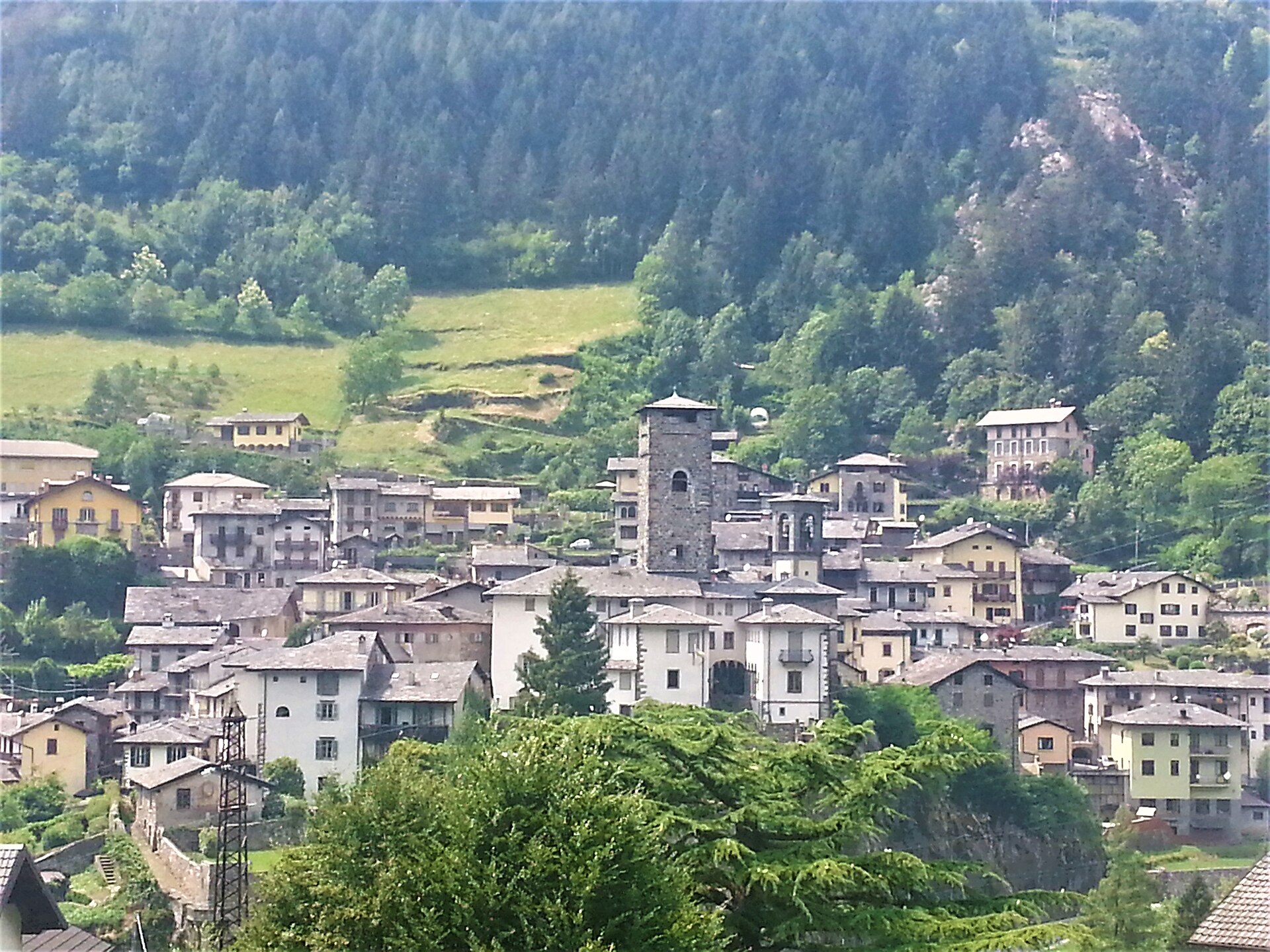
Seriana valley village that forged blades for the Republic of Venice, with a bike park on the Spiazzi slopes above.
Photo: Nazasca · CC BY-SA 4.0 licence
- 7Highlights
- 6Routes
Highlights
8 from neighbouring places
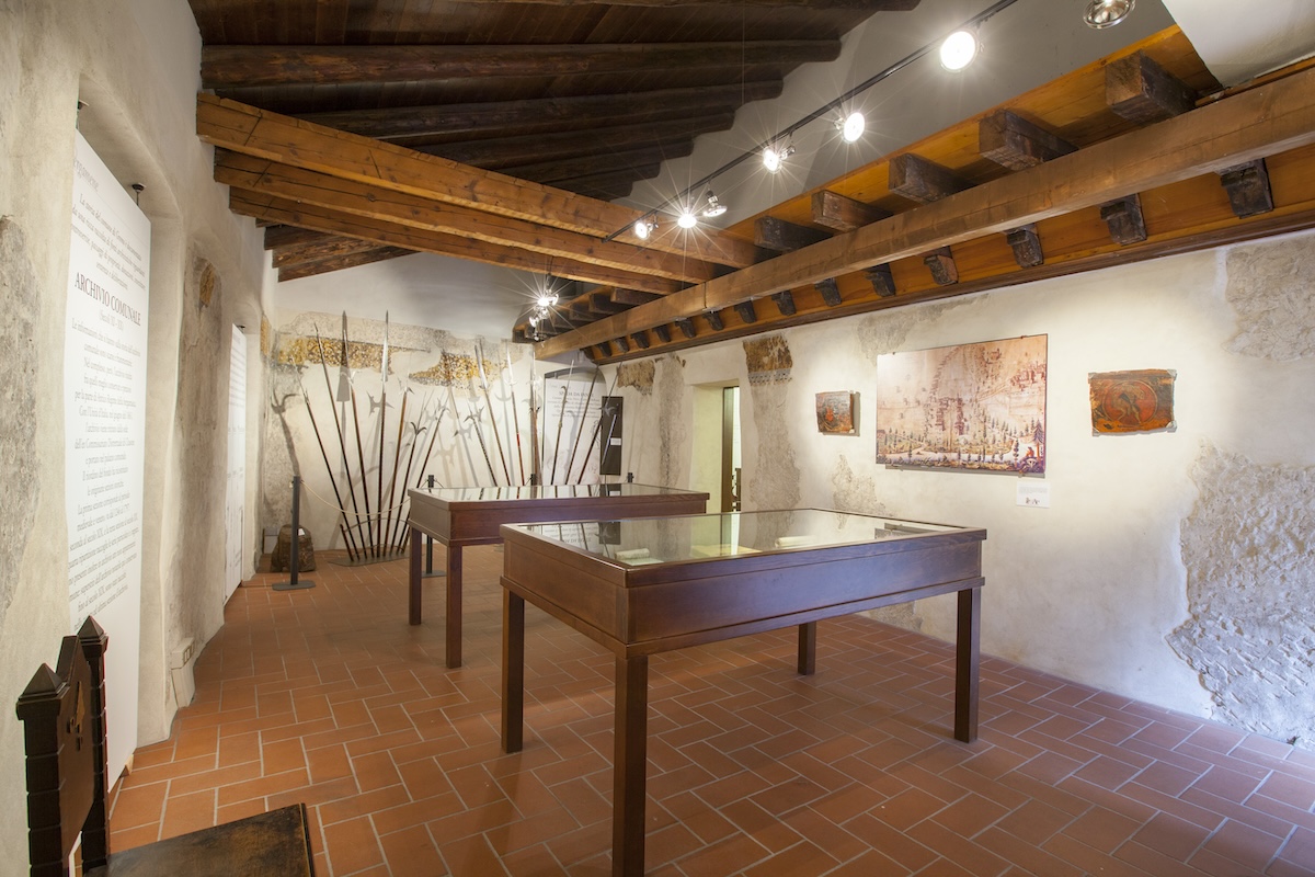
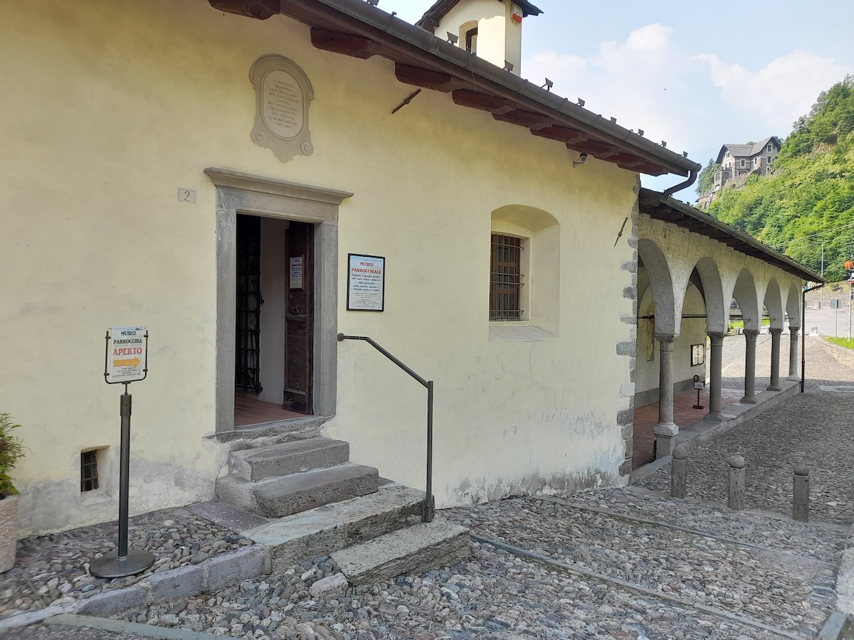
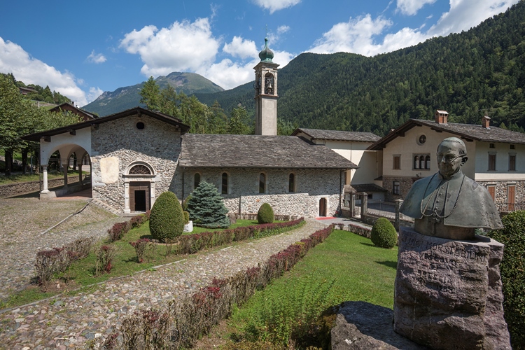
Museo parrocchiale di Gromo “Mons. Luigi Morstabilini”
The parish collection at Gromo: vestments, silver and paintings from the valley's churches.
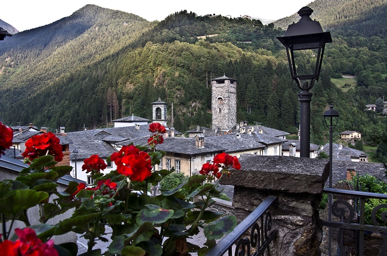
Castello Ginami
A fourteenth-century tower house in Gromo, the seat of the family that ran the valley's blade forges.
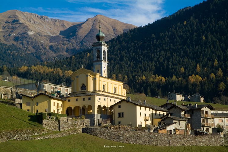
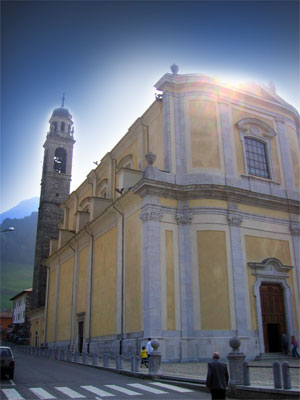
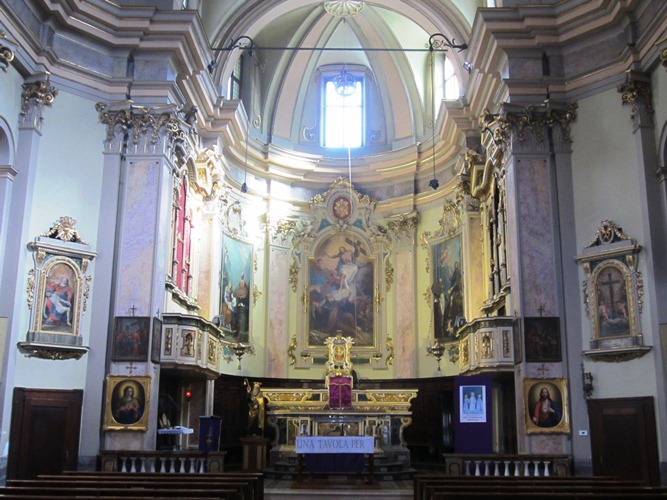
Chiesa di San Giacomo Apostolo e San Vincenzo Levita
Gromo's parish church, on the terrace above the Serio gorge.
Chiesa di San Gregorio Magno
A church in Gromo, near the old square where the blade-makers had their workshops.
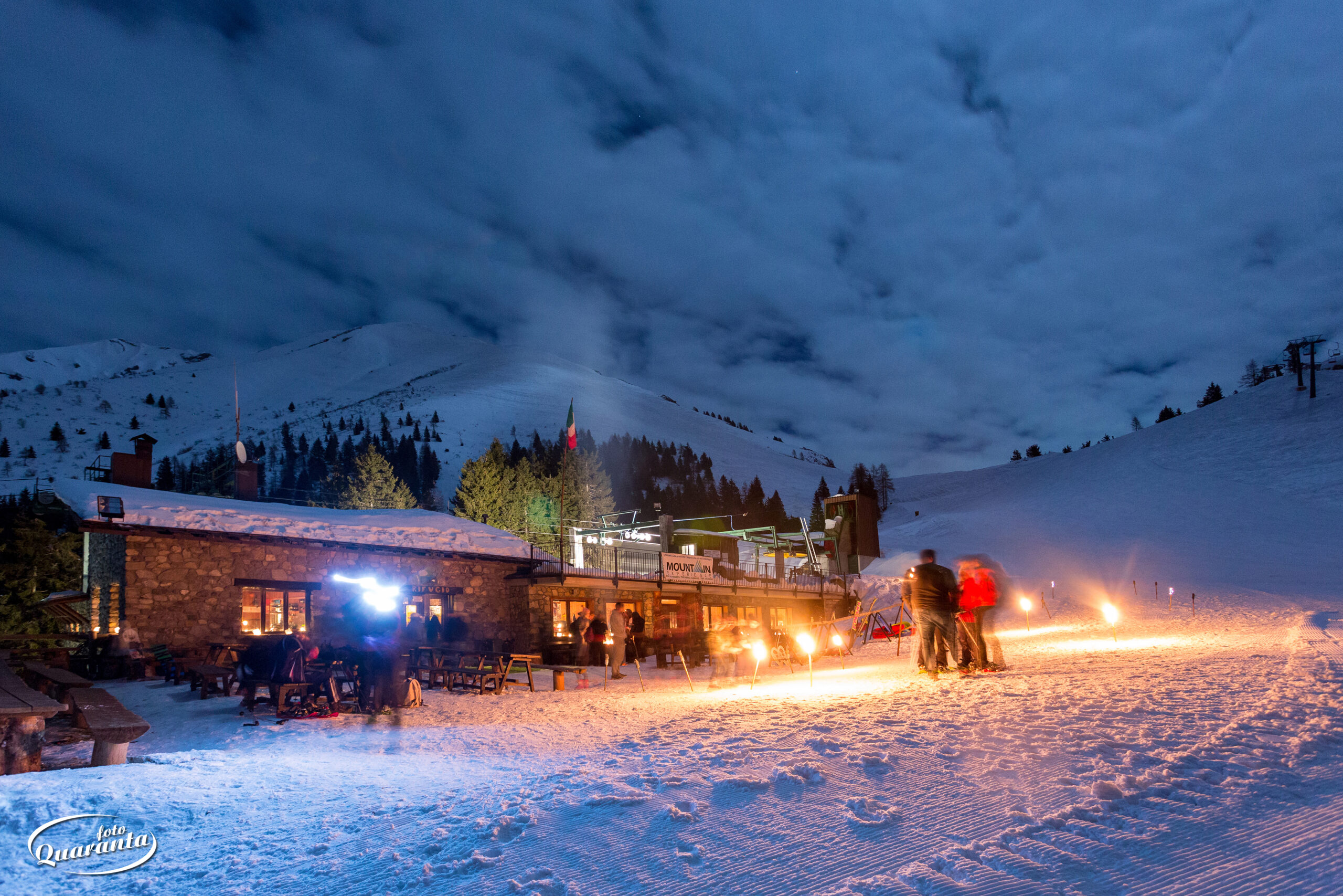
Rifugio Vodala
1.9 km away, in Ardesio
A hut above Ardesio in the upper Val Seriana, below the Orobie ridge.
Chiesa di Santa Maria Nascente
3.5 km away, in Gandellino
A church in the Gandellino hamlets, above the Serio.
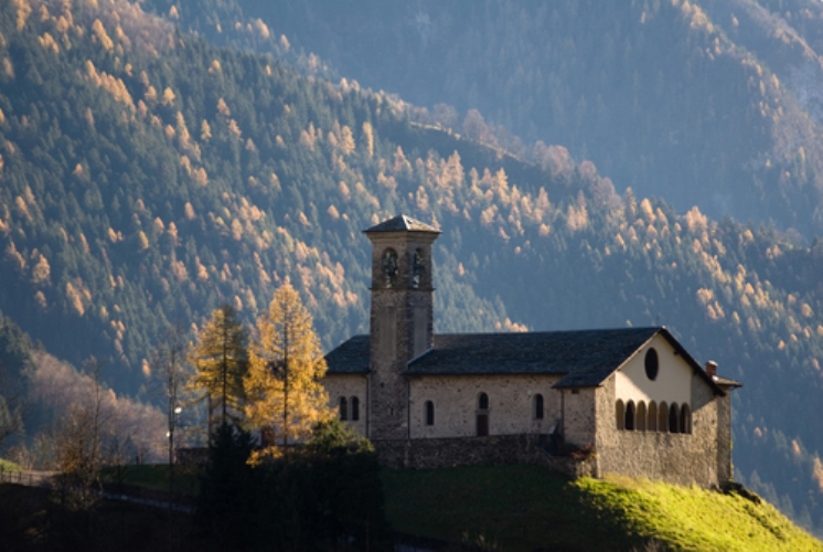
Chiesetta dei Foppi
4.9 km away, in Ardesio
A small church at the Foppi hamlet above Ardesio, on the paths towards the Orobie.
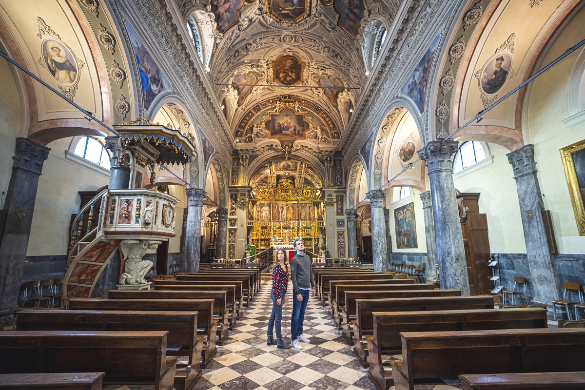
Chiesa Parrocchiale di San Giorgio
5 km away, in Ardesio
The parish church of San Giorgio at Ardesio in the upper Val Seriana.
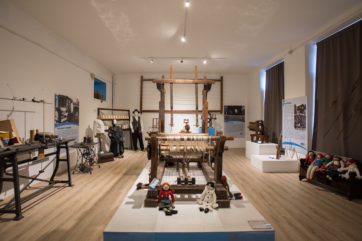
MEtA Museo Etnografico Alta Valle Seriana
5.1 km away, in Ardesio
The ethnographic museum of the upper Val Seriana at Ardesio, in three sections on land, work and belief.
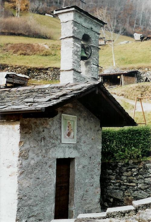
Chiesa di Sant’Antonio Abate
5.3 km away, in Valbondione
A small church on the Valbondione slope, on the old track up the valley.
Santuario Madonna delle Grazie
5.4 km away, in Ardesio
The sanctuary of the Madonna delle Grazie at Ardesio, a Marian pilgrimage church of the upper Val Seriana.
 Historic site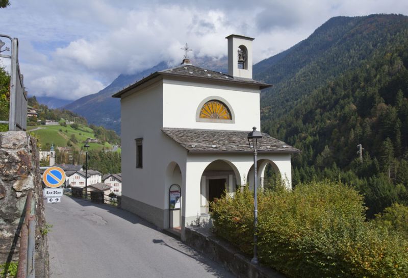
 Mountain hut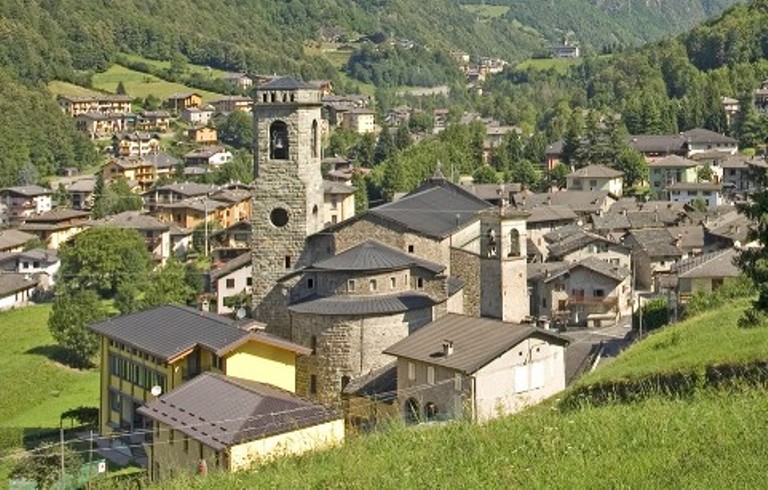
Nothing of this kind in Gromo.
Routes
14 from neighbouring places
Sotto le stelle al Rifugio Vodala
A steep evening climb by the Alpini path to the Rifugio Vodala at 1,650 m above Gromo.
- 1.9 km
- Distance
- 434 m
- Ascent
- 1 h 35 min
- Duration
- 71
- Check-ins
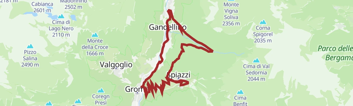
Val Sedornia a Gromo
A long climb out of Gromo in the Val Seriana, up past the Spiazzi and the bike park into the Val Sedornia.
- 21.9 km
- Distance
- 1 149 m
- Ascent
- 8 h 17 min
- Duration
- 65
- Check-ins
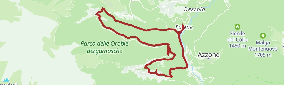
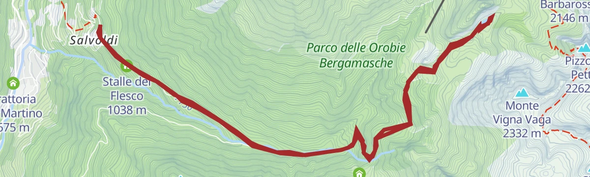
Val Sedornia in MTB
A climb out of Gromo into the Val Sedornia, passing the Ristorante Posta al Castello and the barns at Stalle del Flesco.
- 21.0 km
- Distance
- 884 m
- Ascent
- 2 h 42 min
- Duration
- 43
- Check-ins
Cycle path of river Serio
A long ride beside the Serio, on the cycleway that runs from the lower valley up through Clusone towards Valbondione.
- 53.9 km
- Distance
- 716 m
- Ascent
- 5 h 25 min
- Duration
- 51
- Check-ins
Escursione ai Laghi del Cardeto
A climb from the Val Seriana to the three Cardeto tarns on the flank of the Monte Madonnino.
- 15.3 km
- Distance
- 1 062 m
- Ascent
- 7 h 5 min
- Duration
- 62
- Check-ins
Ciclabile dell'Alta Val Seriana
A valley cycle path through the upper Val Seriana, following the floor of the valley from Clusone as far as Valbondione at 869 m.
- 24.3 km
- Distance
- 565 m
- Ascent
- 2 h 34 min
- Duration
- 51
- Check-ins
Da Colere alla Malga Polzone
7.8 km away, in Colere
A short ski-touring line from Colere up to Malga Polzone, laid out for beginners and keeping clear of the pisted runs.
- 2.3 km
- Distance
- 482 m
- Ascent
- 0 m
- Descent
- 1 h 19 min
- Duration
- 80
- Check-ins
Da Colere a Teveno in MTB
8.8 km away, in Vilminore di Scalve
A hill ride linking two upper Val di Scalve villages above Vilminore in the Bergamo Alps, with a long and steady gain in height.
- 15.0 km
- Distance
- 725 m
- Ascent
- 2 h 2 min
- Duration
Trekking alla Diga del Gleno
9.3 km away, in Vilminore di Scalve
A short climb in the Val di Scalve to the ruins of the Gleno dam, which collapsed in 1923 and flooded the valley below.
- 2.2 km
- Distance
- 366 m
- Ascent
- 1 h 35 min
- Duration
- 38
- Check-ins
Altopiano Tour
9.4 km away, in Clusone
A short circuit of the Clusone plateau, ridden or walked, through its fields and old lanes.
- 17.8 km
- Distance
- 212 m
- Ascent
- 1 h 47 min
- Duration
- 10
- Check-ins
Escursione Lago Spigorel
2.5 km away, in Gandellino
A long climb up the Val Sedornia above Gandellino to the Lago Spigorel, in the Orobie Bergamasche.
- 12.8 km
- Distance
- 866 m
- Ascent
- 5 h 45 min
- Duration
- 67
- Check-ins
Colere e le sue frazioni in MTB
8.8 km away, in Colere
A quiet ride through the hamlets of Colere in the green Val di Scalve, climbing past the ski-area base at Carbonera.
- 13.1 km
- Distance
- 700 m
- Ascent
- 1 h 55 min
- Duration
- 41
- Check-ins
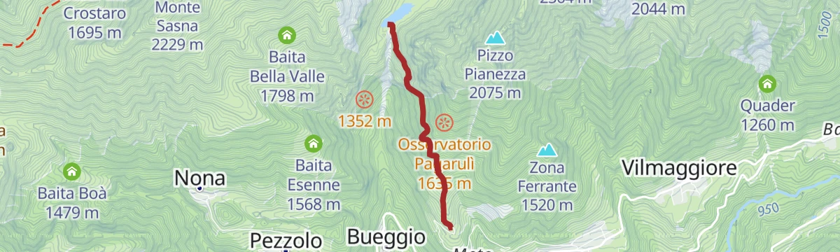
Val Sedornia and lago Spigorel
2.5 km away, in Gandellino
A demanding ascent from Gandellino through the Val Sedornia to the Spigorel lake, high in the Bergamasque Orobie.
- 6.9 km
- Distance
- 1 035 m
- Ascent
- 4 h 6 min
- Duration
- 67
- Check-ins
Riserva del Giovetto in e-bike
11.5 km away, in Borno
An e-bike climb out of Borno through the protected woods of Paline to the Croce di Salven and on up to the Rifugio San Fermo.
- 29.9 km
- Distance
- 1 857 m
- Ascent
- 4 h 50 min
- Duration
- 107
- Check-ins
Da Vilminore al passo della Manina in MTB
9.9 km away, in Vilminore di Scalve
A long climb from the valley floor at 1,015 m to the pass at the head of the valley, past the two Barbarossa malghe and Baita Case Rosse.
- 18.5 km
- Distance
- 1 232 m
- Ascent
- 3 h 9 min
- Duration
- 35
- Check-ins
Dal Curò tra i fiori della Val Seriana
10.2 km away, in Valbondione
From the Curò hut towards Monte Cimone, on a stretch of the Val Seriana known for its alpine flora.
- 4.0 km
- Distance
- 12 m
- Ascent
- 1 h 42 min
- Duration
- 119
- Check-ins
Il Rifugio Gianpace nella selvaggia Val Sanguigno
5.5 km away, in Valgoglio
A climb into the wild Val Sanguigno in the upper Val Seriana to the Rifugio Gianpace, in country left largely to itself.
- 2.8 km
- Distance
- 380 m
- Ascent
- 1 h 33 min
- Duration
- 12
- Check-ins
Trekking in Val Sedornia e lago Spigorel
2.5 km away, in Gandellino
A steep climb up the Val Sedornia above Gandellino to Lago Spigorel, one of the alpine lakes of the Orobie.
- 6.9 km
- Distance
- 1 035 m
- Ascent
- 4 h 6 min
- Duration
- 67
- Check-ins
Tour dell'Altopiano di Clusone
11.8 km away, in Clusone
A circuit of the Clusone plateau, leaving the cycle path for the old pastoral road above the town.
- 30.1 km
- Distance
- 849 m
- Ascent
- 3 h 28 min
- Duration
- 9
- Check-ins
Barzesto, Vilminore di Scalve e frazioni in MTB
12.8 km away, in Vilminore di Scalve
A climbing loop through the hamlets of the Val di Scalve between Schilpario and the main village, topping out at Comen at 1,319 m.
- 17.7 km
- Distance
- 996 m
- Ascent
- 2 h 40 min
- Duration
- 26
- Check-ins






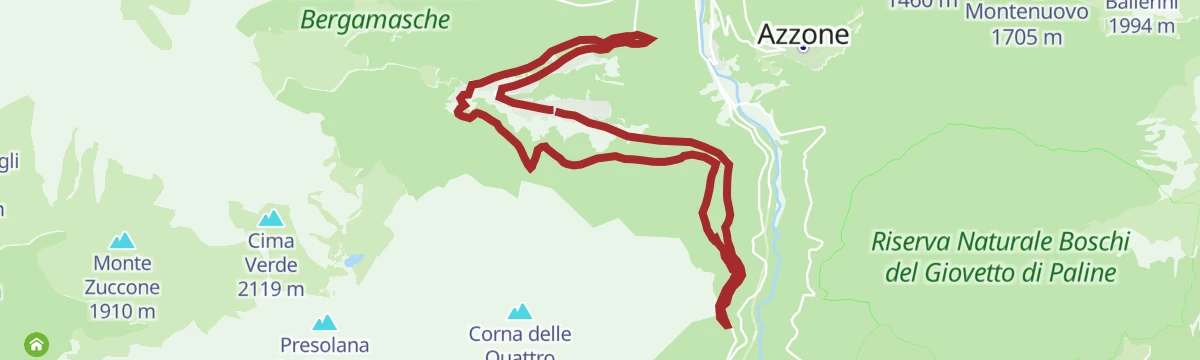


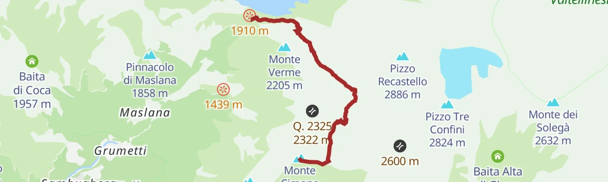


No routes of this kind in Gromo yet.
Planning a trip to Gromo?
Everything else Lombardy has, in one place


Take Gromo with you into the mountains
Every route on this page with 3D terrain, GPX navigation and offline maps — including the valleys with no signal.
Data sources
- Official website: valseriana.eu ↗
- Routes and highlights: Val Seriana, in Lombardia
- Published as open data by the tourist boards named above.
- Region summary generated from the board's own material.
