
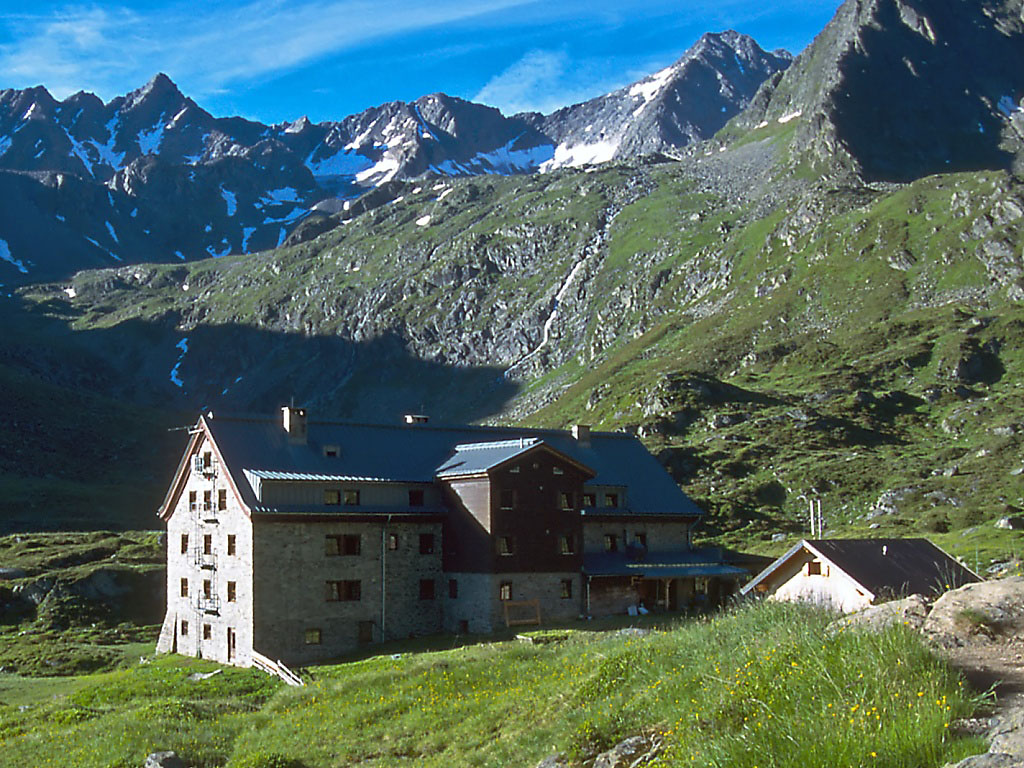
 Mountain hut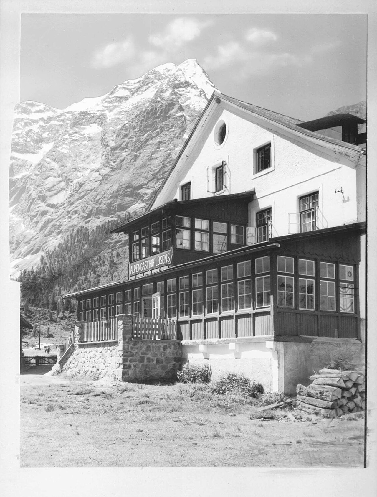
 Historic site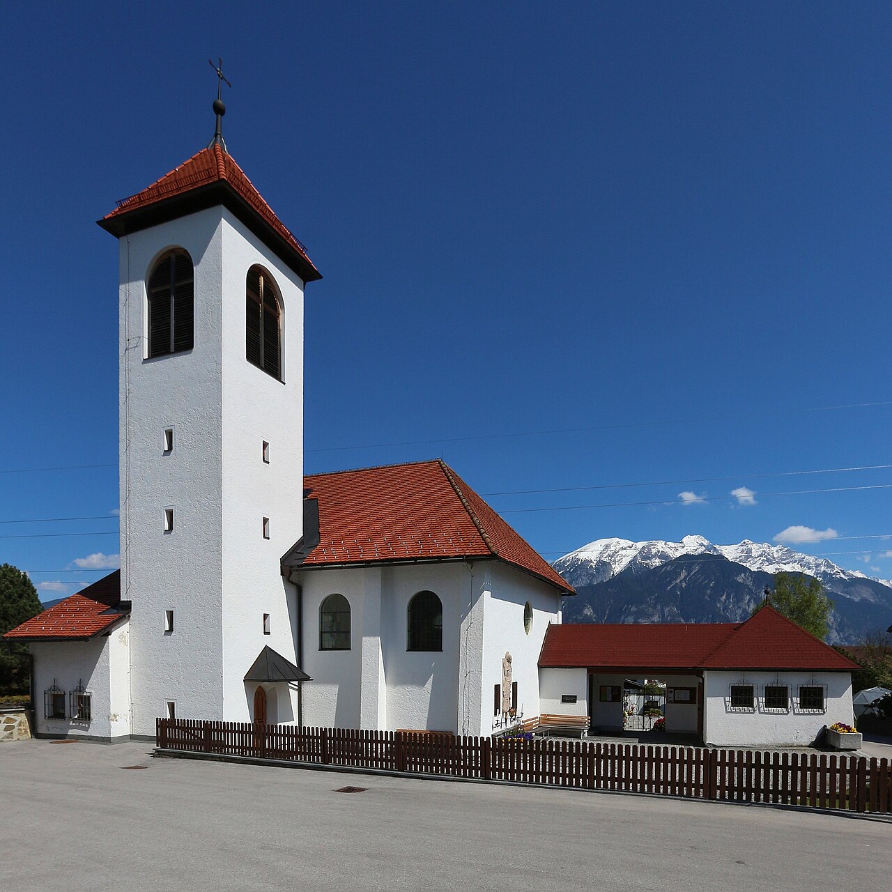
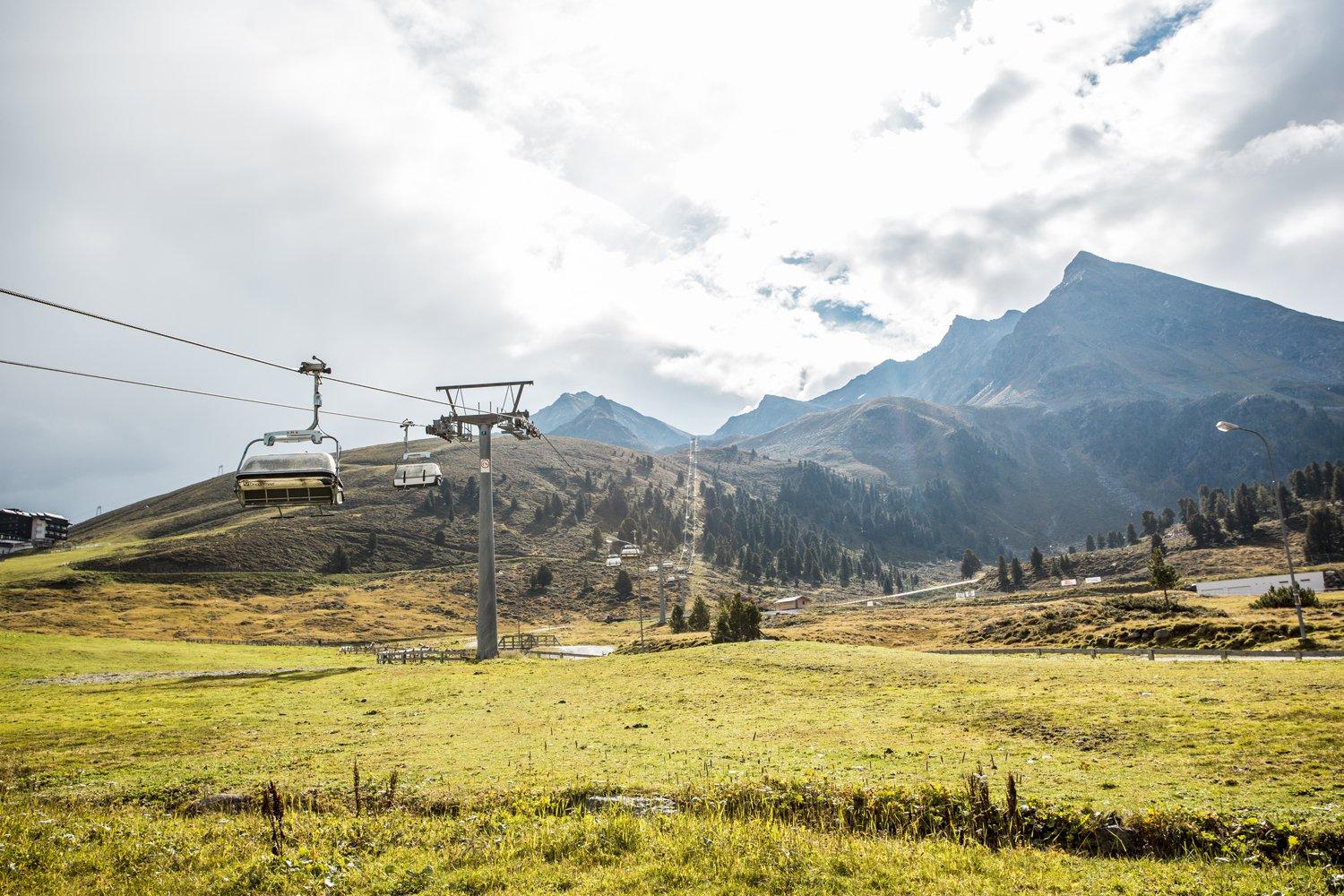
 Cable car
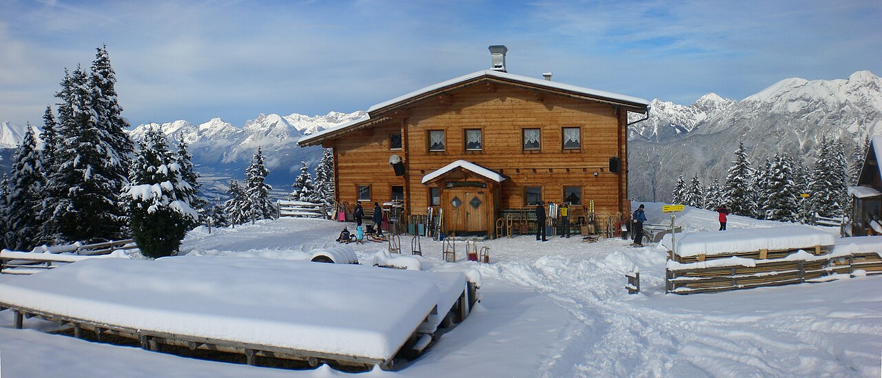


Curated by Innsbruck Tourismus
Gries im Sellrain
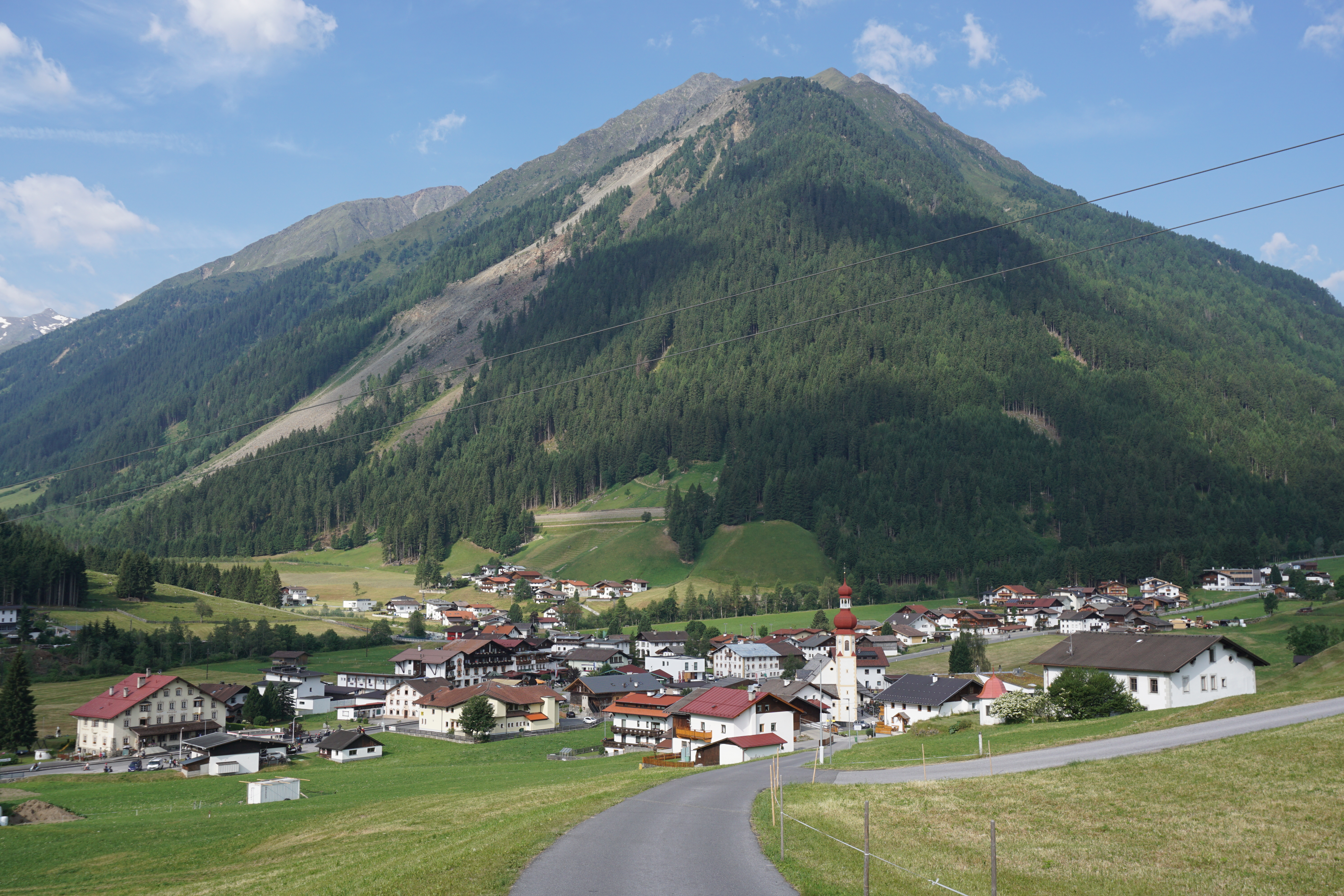
A quiet Sellraintal village at nearly 1200 m where the road branches toward Lüsens, deep in the northern Stubai Alps.
- 15Highlights
- 11Routes
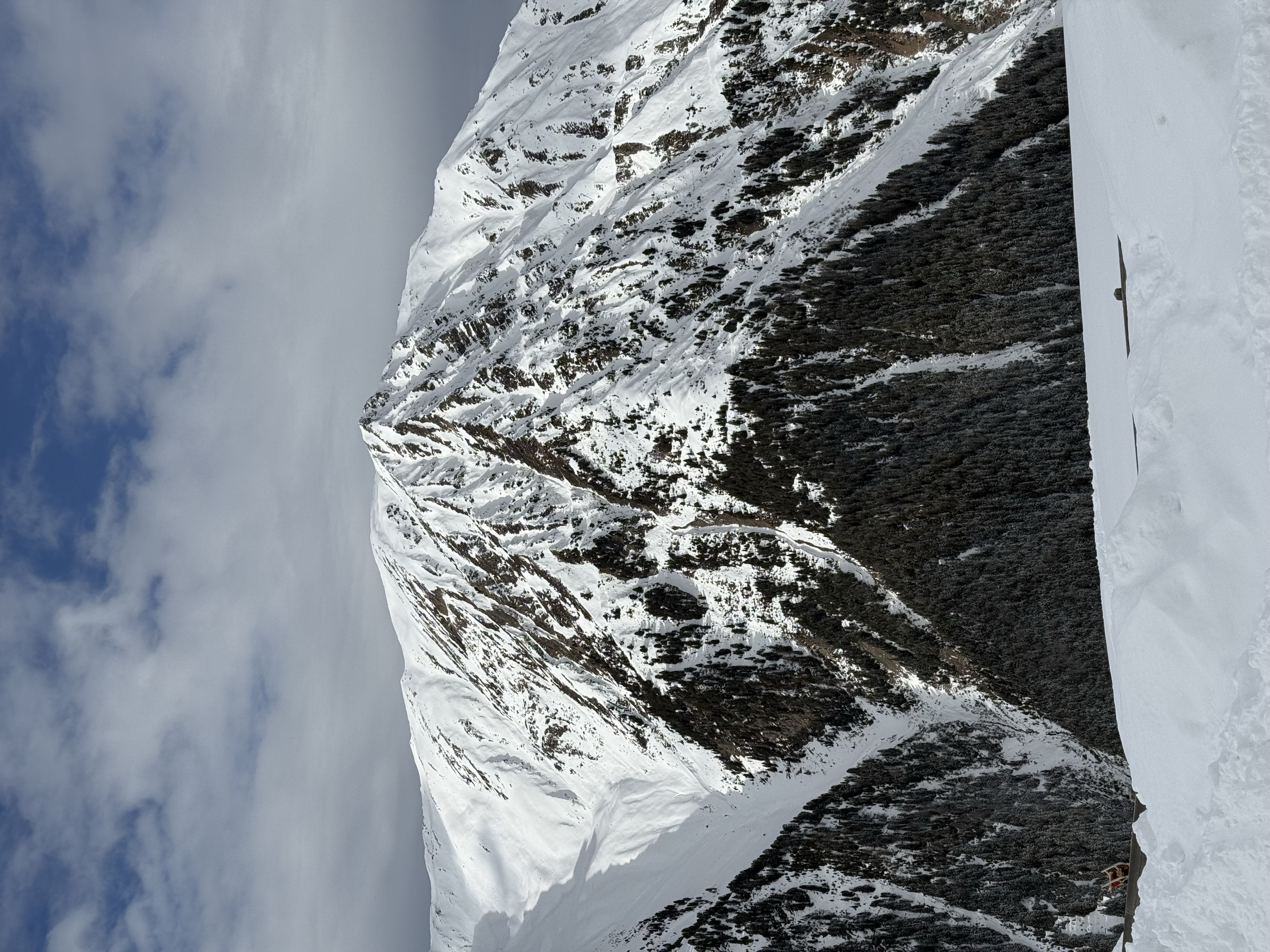
- Featured summit · Freihut
Highlights
All 15 from neighbouring places
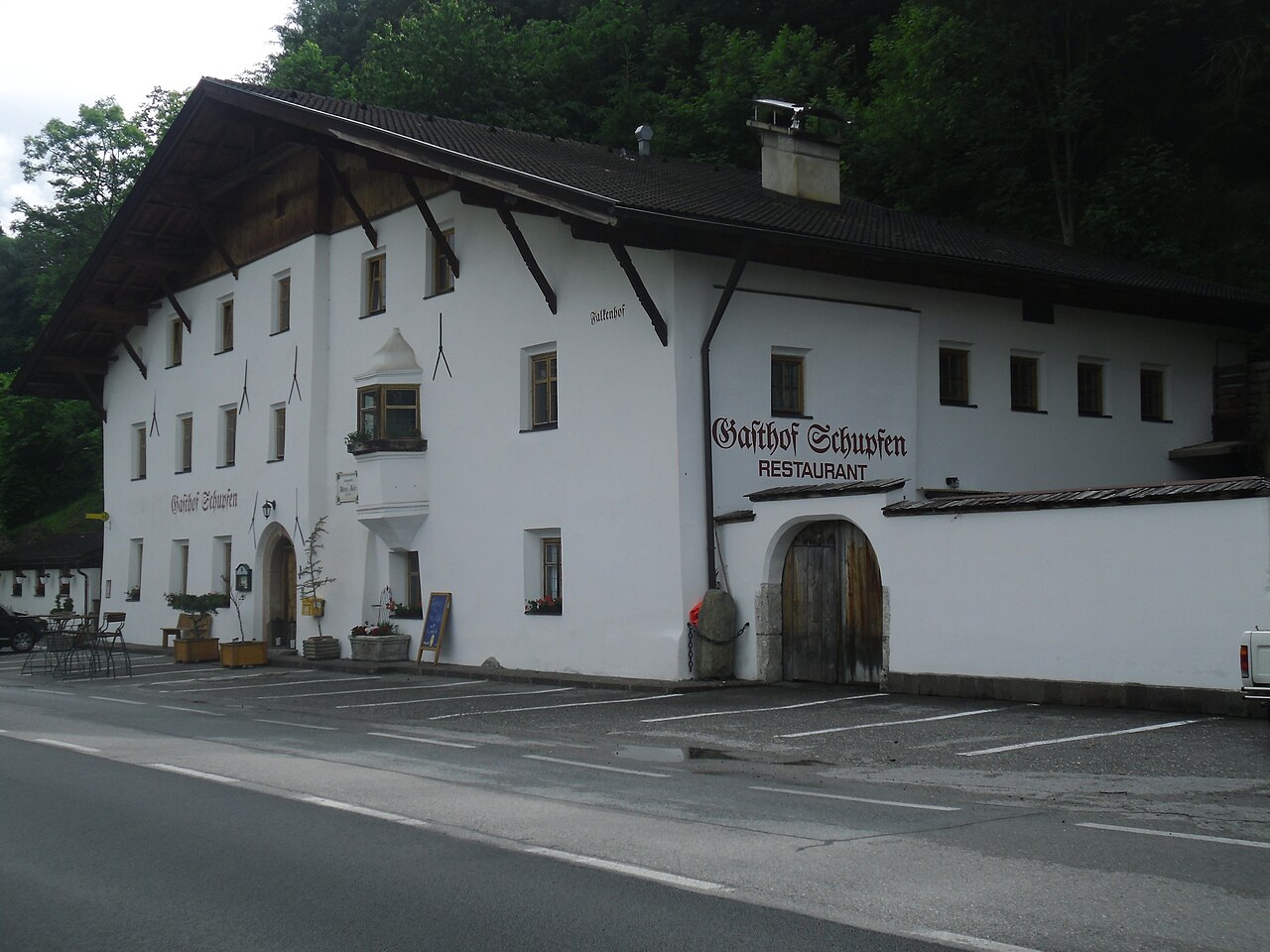
Gasthof Ruetz
4.7 km away, in St. Sigmund im Sellrain
A traditional inn at St. Sigmund im Sellrain, a refreshment and overnight stop for walkers and ski tourers in the Sellrain valley.
Alpengasthof Lüsens
6 km away, in St. Sigmund im Sellrain
An alpine inn at Lüsens in the innermost Sellrain valley above St. Sigmund, a traditional base for walks and ski tours toward the Lüsener Fernerkogel.
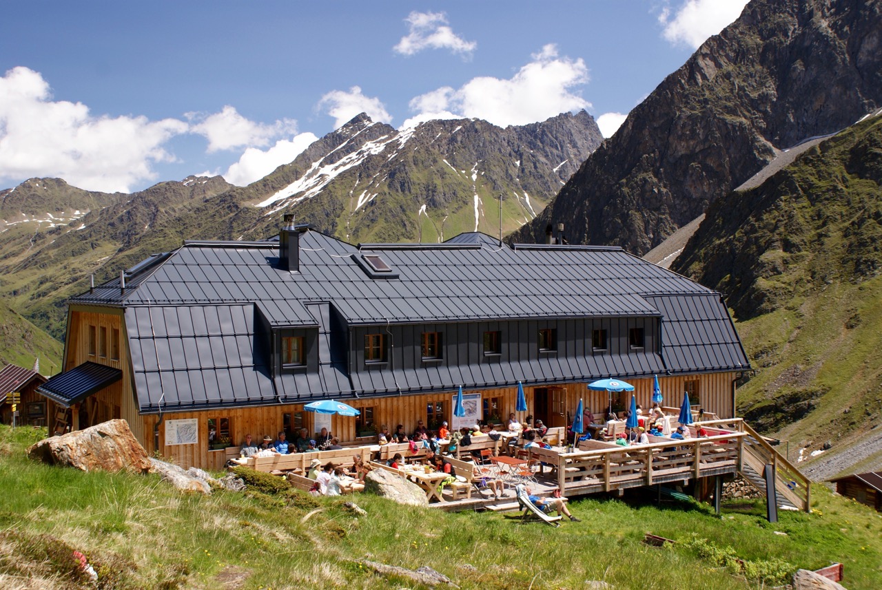
Pforzheimer Hütte
7 km away, in St. Sigmund im Sellrain
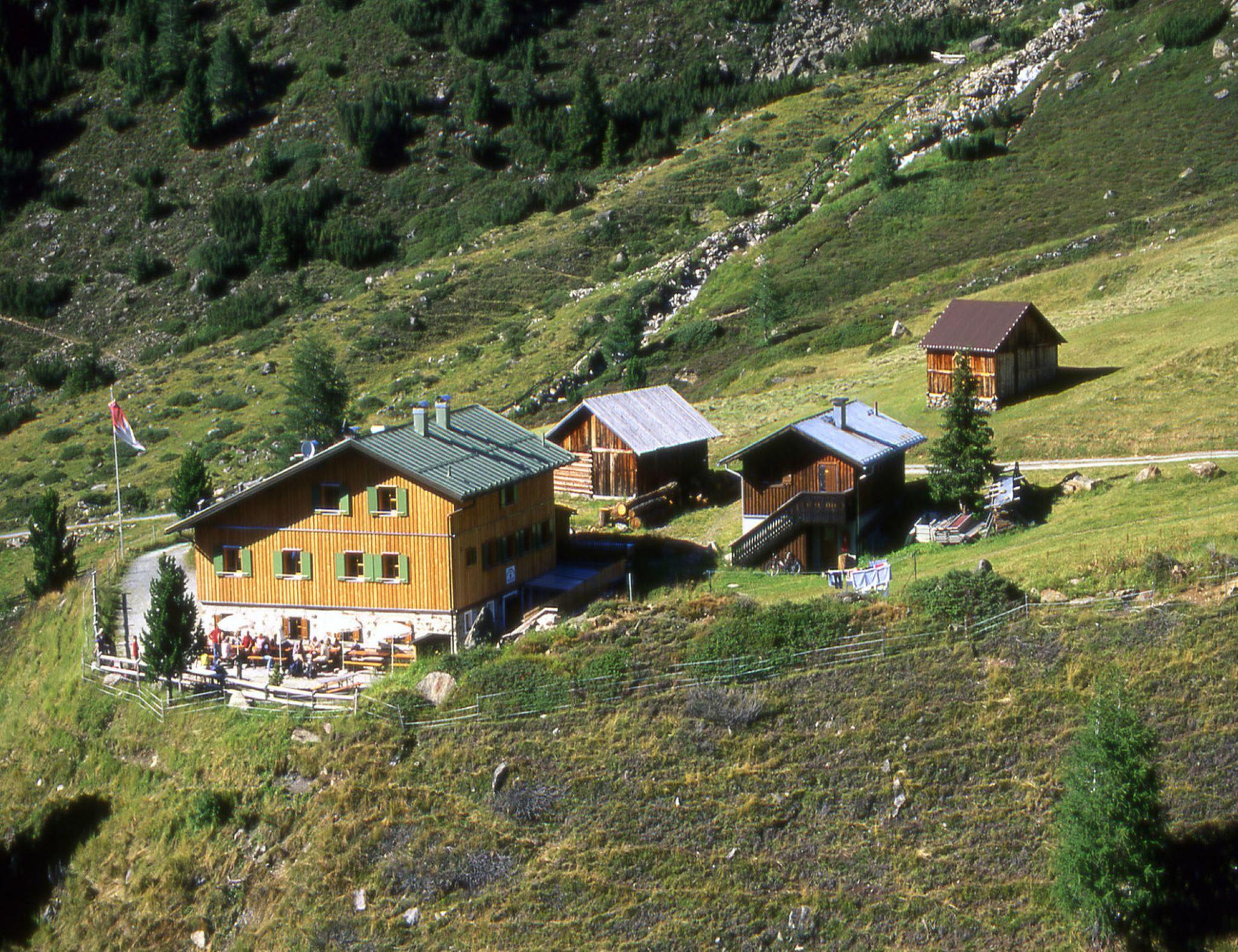
An Alpine Club hut in the Gleirsch valley above St. Sigmund im Sellrain, a base for summit tours and ski touring in the Stubai Alps.
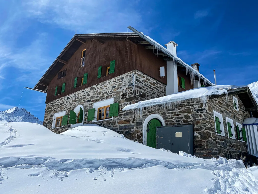
Westfalenhaus
9.3 km away, in St. Sigmund im Sellrain
A high mountain hut above St. Sigmund im Sellrain, a base for summit tours and crossings in the northern Stubai Alps.
Pfarrkirche Ranggen
9.1 km away, in Ranggen
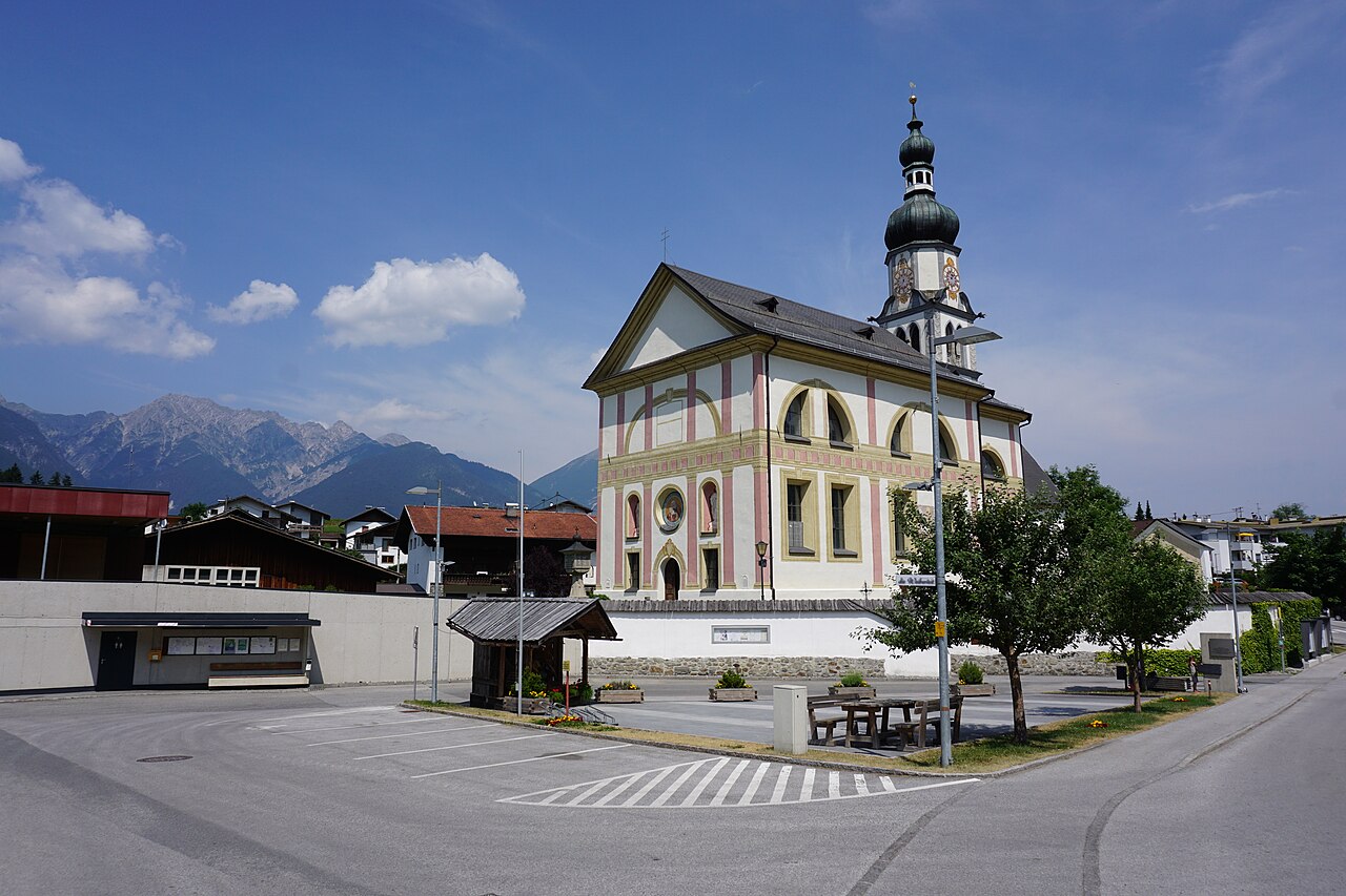
The parish church of Ranggen (826 m), the landmark of a small farming village in the hills west of Innsbruck.
Mooskapelle in Grinzens
9.5 km away, in Grinzens
A small chapel in the meadows near Grinzens, a wayside devotional stop in the villages on the terrace southwest of Innsbruck.
Ausserwieserhof Kaser
10 km away, in Neustift im Stubaital
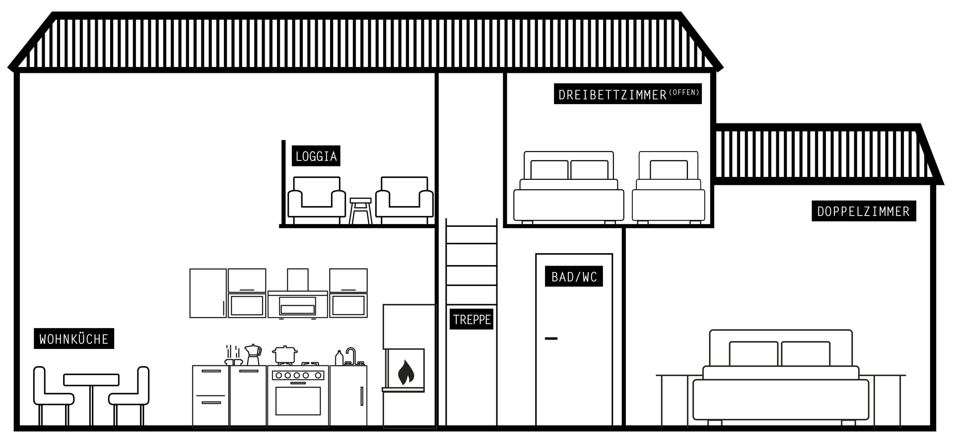
A rustic hut, or Kaser, belonging to the Ausserwieserhof farm above Neustift, rented out as a simple mountain retreat.
Schweinfurter Hütte
10.6 km away, in Umhausen
An Alpine Club hut in the Horlachtal, used in summer for peaks and traverses and in winter for ski touring and snowshoeing.
Franz-Senn-Hütte
10.9 km away, in Neustift im Stubaital
A large Alpine Club hut at 2,147 m in the Oberbergtal above Neustift, a stage on the Stubai High Trail and a base for glacier tours and climbing courses.
Drei-Seen-Bahn
11 km away, in Silz
A four-seat chairlift at Kühtai with weather hoods and bike carriers, serving the three-lakes walk and a large high-alpine playground.
Kleinhorlachalm
11.2 km away, in Umhausen
An alpine pasture in the Horlachtal below the Schweinfurter Hütte, reached by forest road along the Horlachbach from Niederthai.
Schlickeralm 1.643m
11.6 km away, in Telfes im Stubai
A working pasture hut at 1,643 m in the Schlick 2000 walking area, serving its own dairy produce below the Kalkkögel.
Birgitzer Alm
11.8 km away, in Birgitz
An alpine pasture hut above Birgitz (859 m) on the slopes toward the Kalkkögel, a destination for walkers in summer and tobogganers in winter.
Pfarrkirche St. Viktor & Magdalena
11.9 km away, in Kematen in Tirol
The parish church of Kematen in Tirol (610 m), dedicated to St. Victor and St. Magdalene, near the mouth of the Sellrain valley.
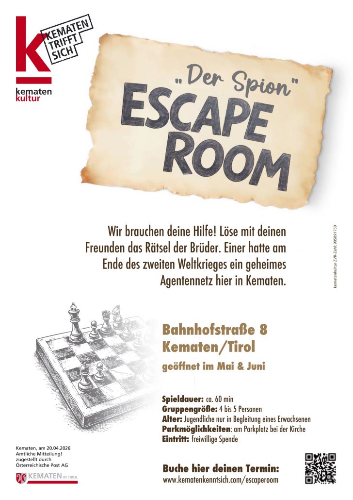
"Der Spion" Escape Room
11.9 km away, in Kematen in Tirol
An escape-room game in Kematen in Tirol where teams unravel a spy story against the clock in a themed set of rooms.
Nothing of this kind in Gries im Sellrain.
Routes
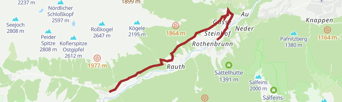
Gams-Dorfrunde - Gries im Sellrain
Easy signposted village loop from the Tourismusbüro in Gries im Sellrain, following the chamois-themed round over meadows and farm lanes above the valley.
- 7.4 km
- Distance
- 278 m
- Ascent
- 2 h 25 min
- Duration
- 1
- Check-ins
Juifenalm (25)
Steady climb out of the Sellrain valley on forest tracks to the Juifenalm, a working alm perched high above the valley floor.
- 9.5 km
- Distance
- 592 m
- Ascent
- 4 h 4 min
- Duration
- 3
- Check-ins
Sellrainer Hüttenrunde: 7. Etappe
Closing stage of the Sellrain hut round, coming down from the high country into Kühtai past the Dortmunder Hütte and on down the valley - nearly 25 km of trail.
- 24.7 km
- Distance
- 973 m
- Ascent
- 8 h 12 min
- Duration
- 64
- Check-ins
Juifenalm - Skitour
Popular ski tour from the Sellraintal up to the Juifenalm, a short, moderate ascent that suits early season and half-day outings.
- 4.9 km
- Distance
- 596 m
- Ascent
- 596 m
- Descent
- 2 h 9 min
- Duration
- 3
- Check-ins
Sömen von Moos
Steep ski tour from Moos near Gries im Sellrain, gaining almost 1,200 m past the Aflinger Alm to the Sömen summit slopes — one for settled snow and strong legs.
- 3.6 km
- Distance
- 1 176 m
- Ascent
- 1 176 m
- Descent
- 3 h 30 min
- Duration
Von Innsbruck nach Kühtai
A long road ride out of the Inn valley, climbing to the saddle at 2,017 m with the Dortmunder Hütte just below it.
- 106.6 km
- Distance
- 1 930 m
- Ascent
- 11 h 16 min
- Duration
- 86
- Check-ins
Reh-Dorfrunde - Gries im Sellrain
Short, easy deer-themed village round from the Tourismusbüro in Gries im Sellrain — a signed loop over meadows suited to families with small children.
- 3.3 km
- Distance
- 127 m
- Ascent
- 1 h 5 min
- Duration
- 1
- Check-ins
Heuriesenweg - Zu/Abstieg Sellraintaler Höhenwanderweg
Steep connector from Gries im Sellrain onto the Sellrain high-level path, climbing nearly 800 m in three kilometres — a stiff access leg rather than a stroll.
- 3.0 km
- Distance
- 773 m
- Ascent
- 4 h 12 min
- Duration
- 1
- Check-ins
Praxmar - Freihut - St. Sigmund(30)
Demanding summit round from Praxmar over the Freihut and Kleine Freihut, descending past the Apothekerhütte to St. Sigmund in the Sellrain.
- 9.5 km
- Distance
- 959 m
- Ascent
- 5 h 53 min
- Duration
Innsbruck - Lüsens
A long out-and-back from the Inn valley up the Sellraintal, past the Kaiser Ferdinand waterfalls to the Lüsener Alm at 1,631 m.
- 74.5 km
- Distance
- 1 654 m
- Ascent
- 8 h 10 min
- Duration
- 9
- Check-ins
Sellraintaler Besinnungsweg
Long themed walk along the Sellraintal whose stations invite quiet reflection, linking the valley villages over woodland and meadow paths.
- 18.3 km
- Distance
- 990 m
- Ascent
- 7 h 4 min
- Duration
No routes of this kind in Gries im Sellrain yet.
The region's own picks

Featured route
Gams-Dorfrunde - Gries im Sellrain
Easy signposted village loop from the Tourismusbüro in Gries im Sellrain, following the chamois-themed round over meadows and farm lanes above the valley.
Planning a trip to Gries im Sellrain?
Everything else Tyrol has, in one place


Take Gries im Sellrain with you into the mountains
Every route on this page with 3D terrain, GPX navigation and offline maps — including the valleys with no signal.
Data sources
- Official website: innsbruck.info ↗
- Routes and highlights: Innsbruck Tourismus, Tourismusverband Stubai Tirol, Ötztal Tourismus
- Published as open data by the tourist boards named above.
- Region summary generated from the board's own material.
