
 Historic site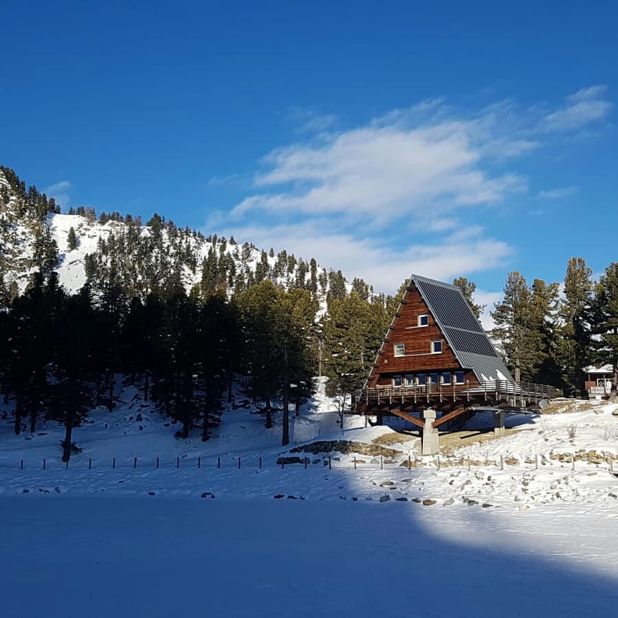
 Mountain hut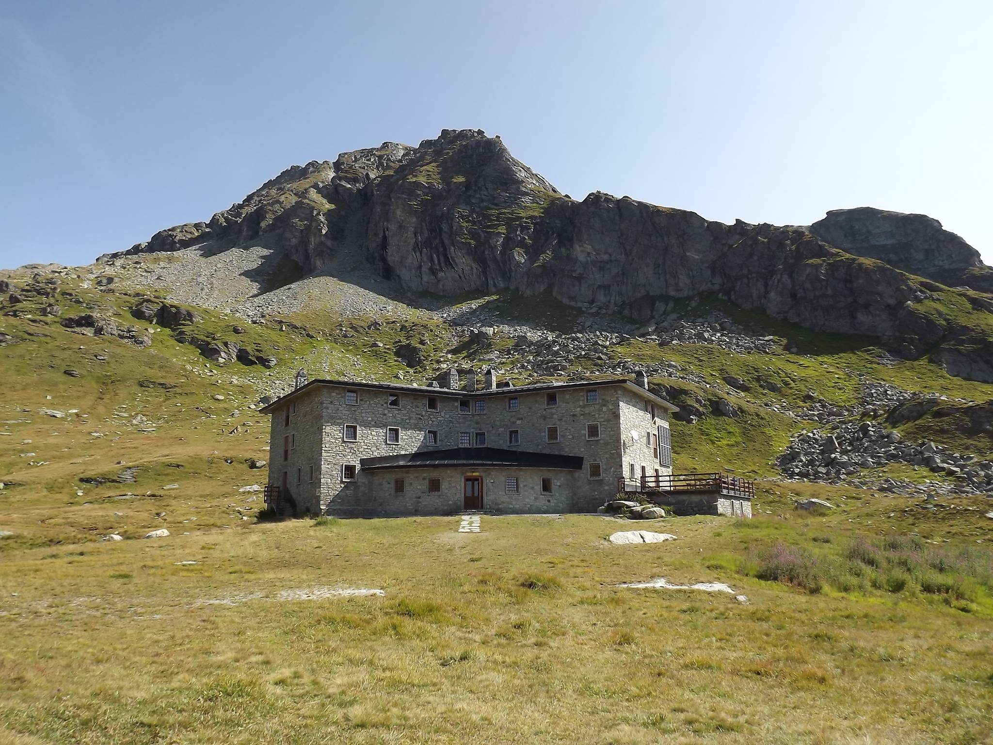











Curated by Monterosa Outdoor
Gressoney-Saint-Jean
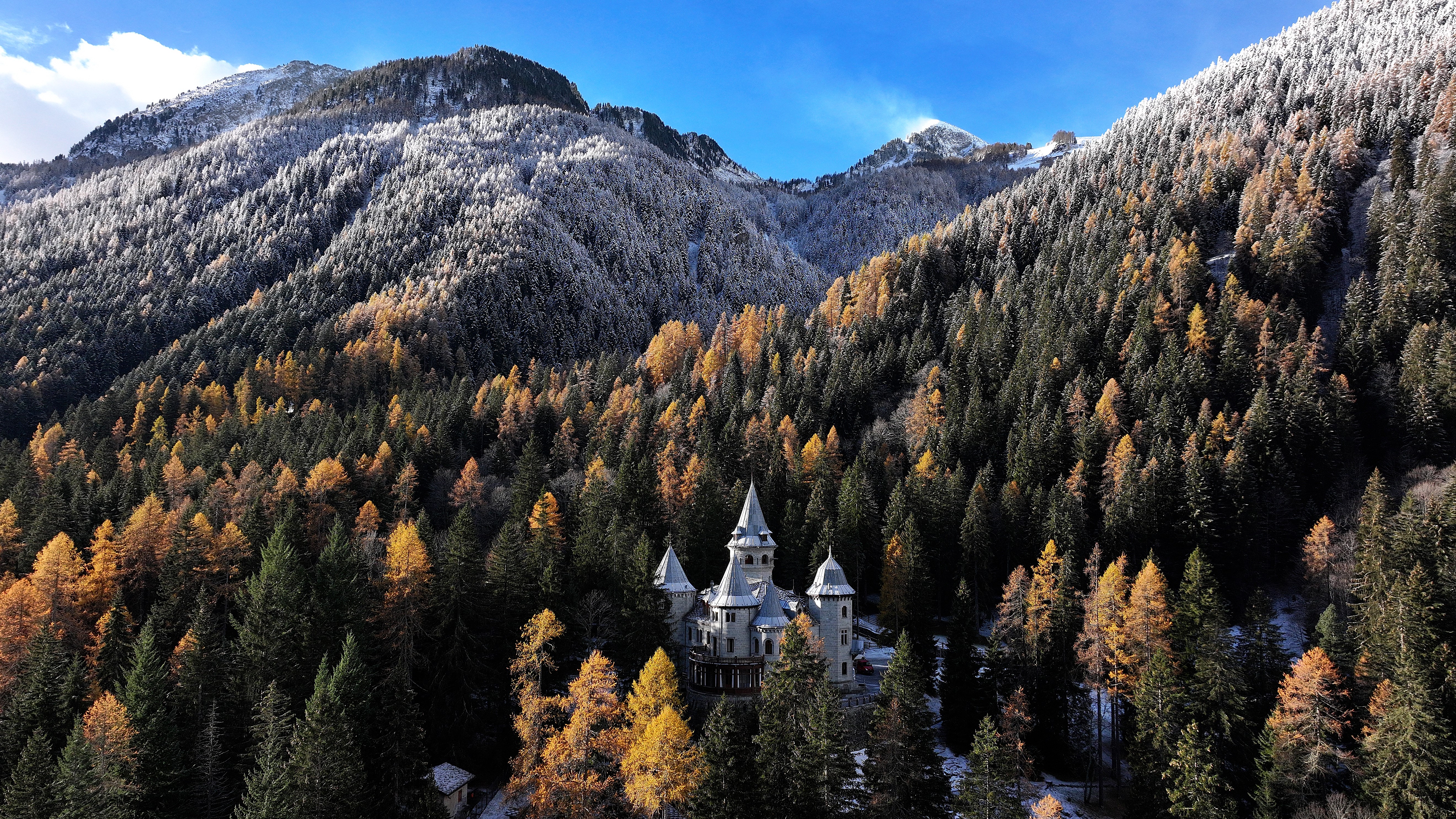
The lower Walser village of the Lys valley, with Castel Savoia and Lago Gover under the Monte Rosa massif.
- 3Highlights
- 35Routes
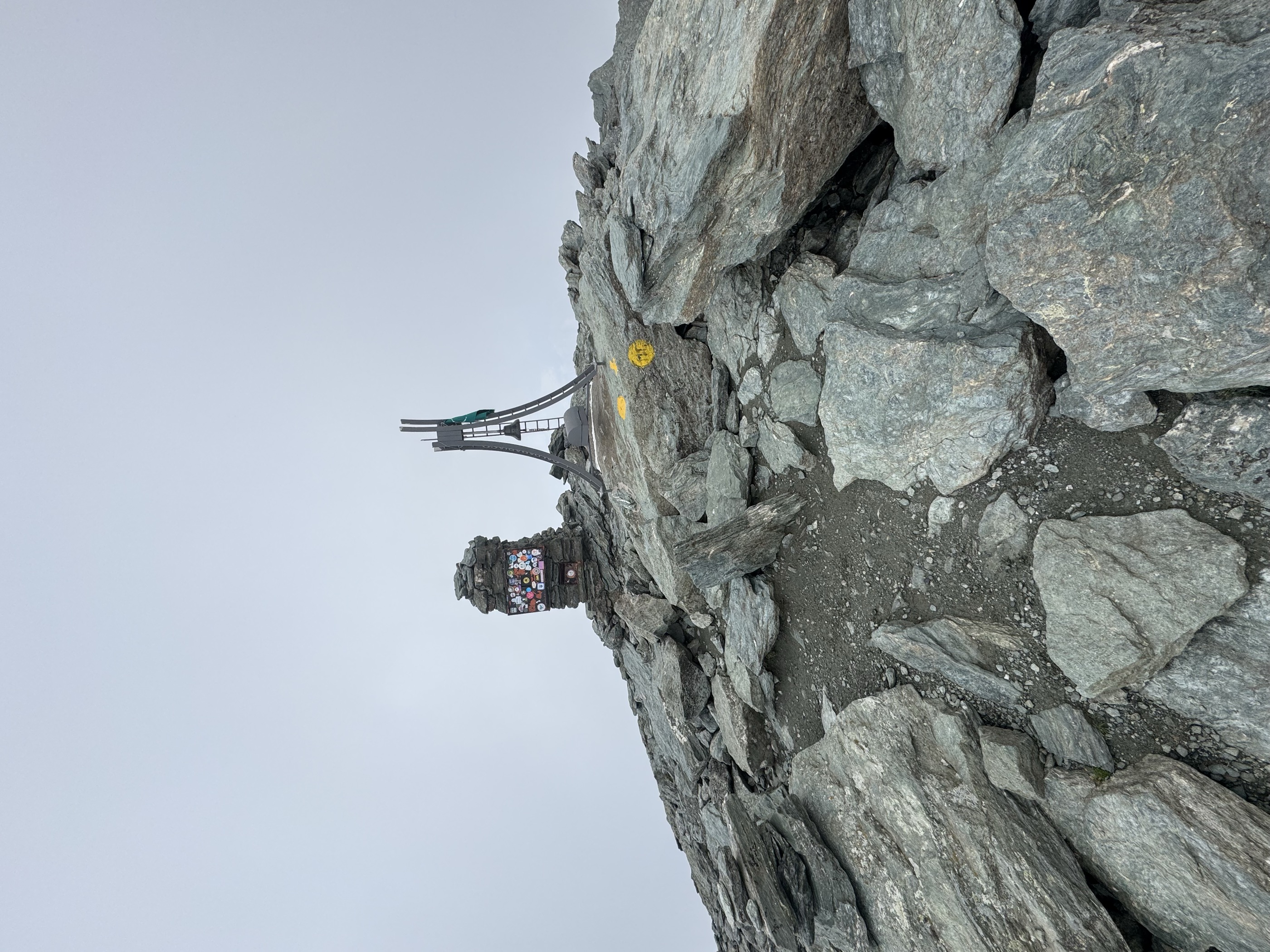
- Featured summit · Testa Grigia
Highlights
12 from neighbouring places
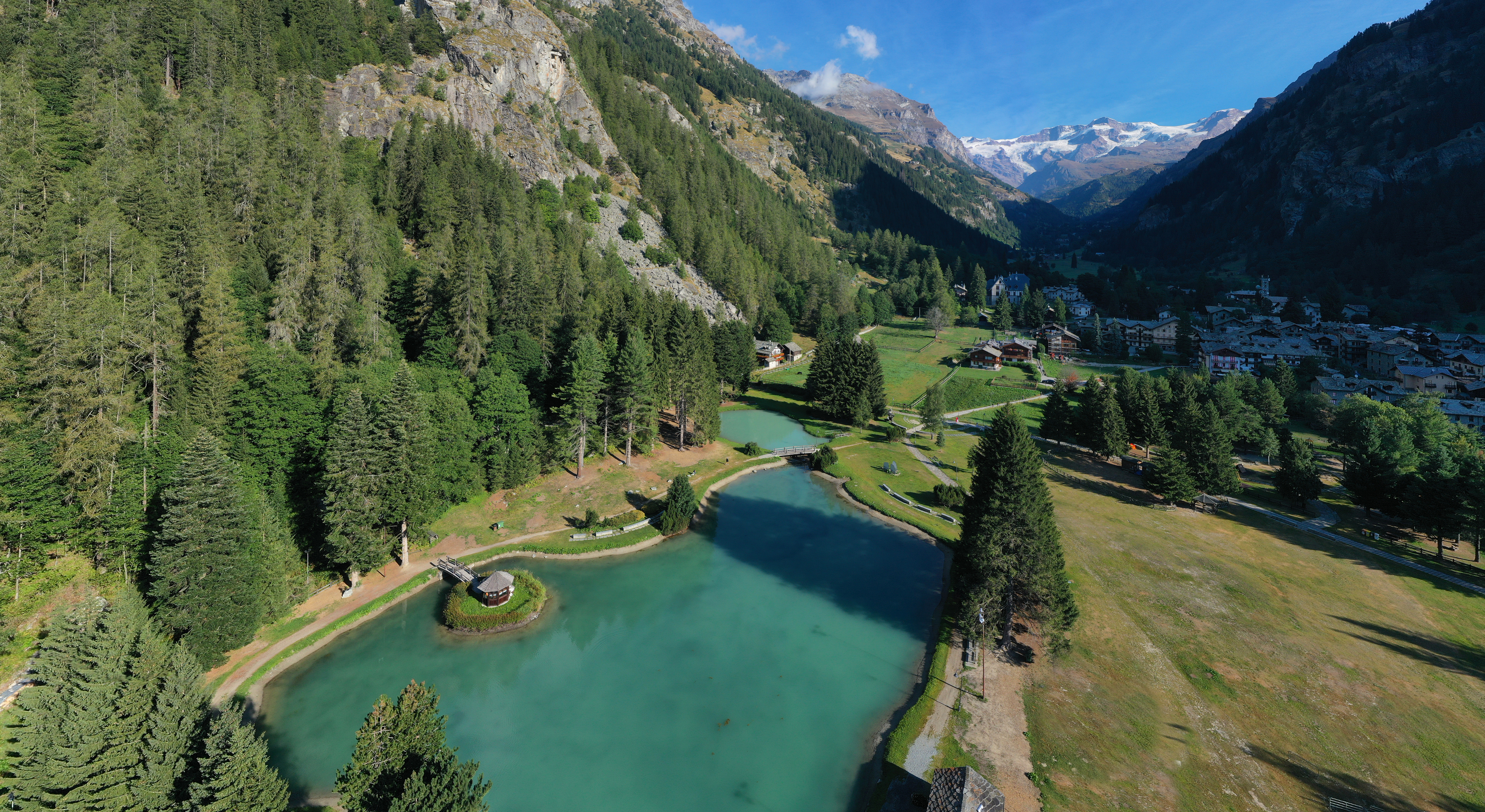
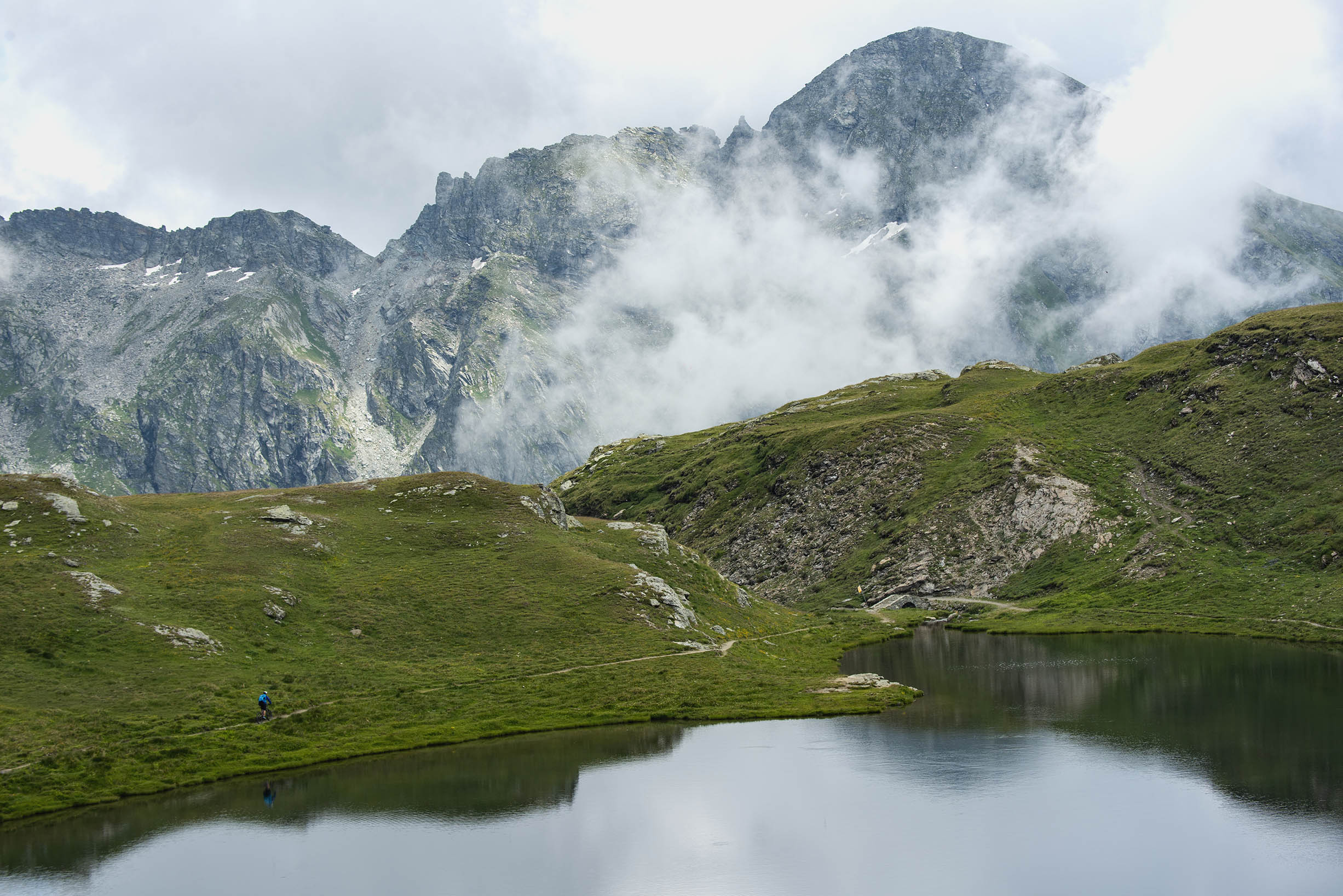
Lago Gover
A small lake in old conifer woods above Gressoney-Saint-Jean, with the Monte Rosa summits reflected on clear days.
Castel Savoia
The fairytale residence built from 1899 for Queen Margherita above Gressoney-Saint-Jean, with five towers and its own park.
Casa Capriata-Rifugio Carlo Mollino
A hut in the Weissmatten ski area above 2,000 m, the Casa Capriata designed by the architect Carlo Mollino.
Rifugio Arp
4.2 km away, in Brusson
A hut at 2,446 m on a grass terrace in the Palasinaz valley, among its lakes above Brusson.
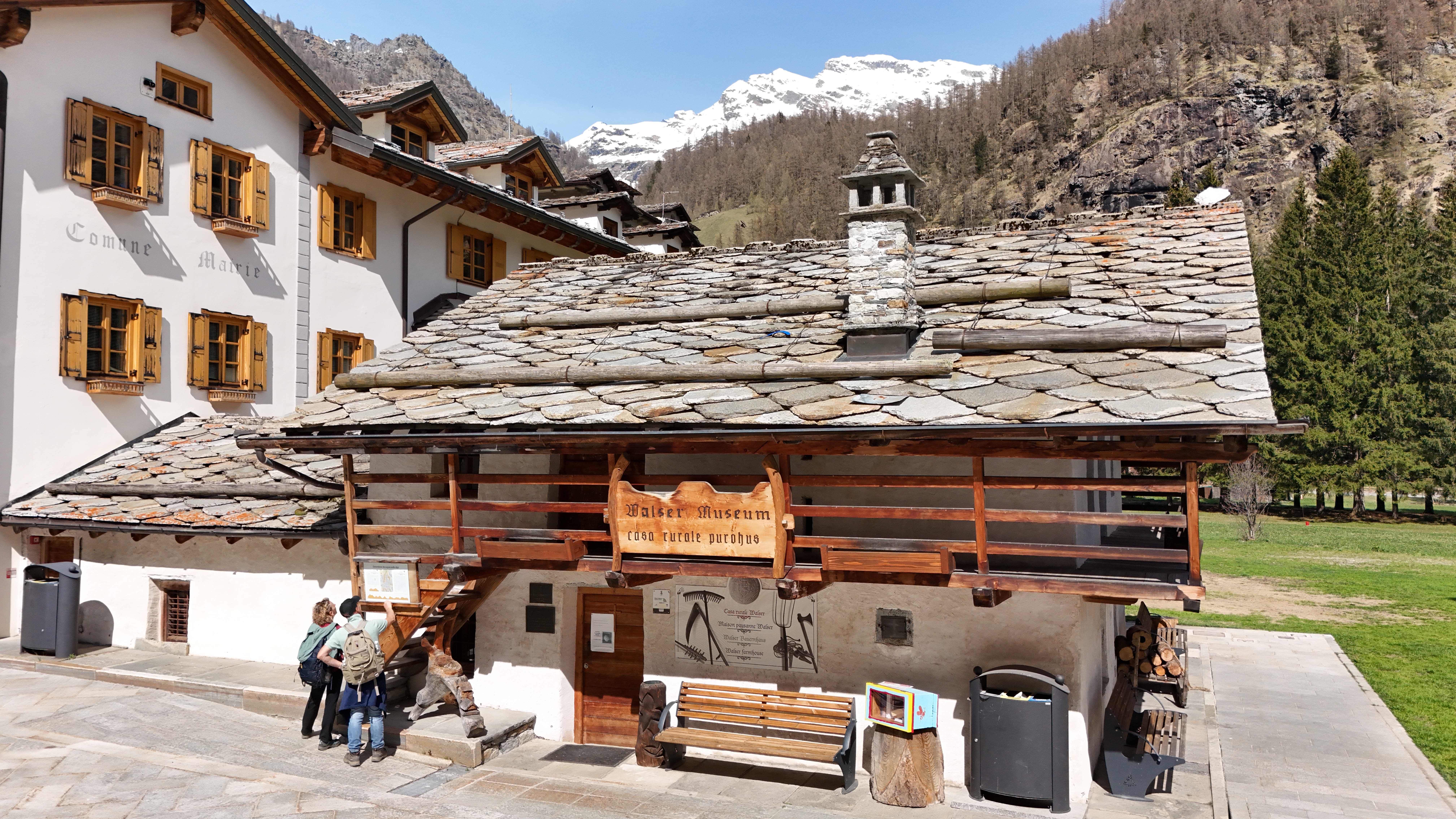
Ecomuseo Walser
4.7 km away, in Gressoney-La-Trinité
A Walser house at Gressoney kept as it was lived in, with the timber gallery and stone roof of the Lys valley.
Laghi di Palasinaz
4.8 km away, in Brusson
Seven small lakes in the Palasinaz basin above Brusson, a long-standing walking round of the Val d'Ayas.
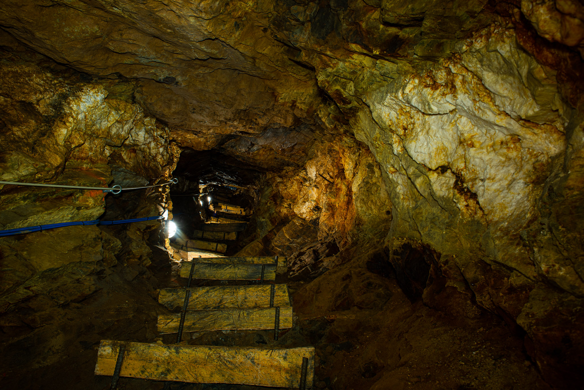
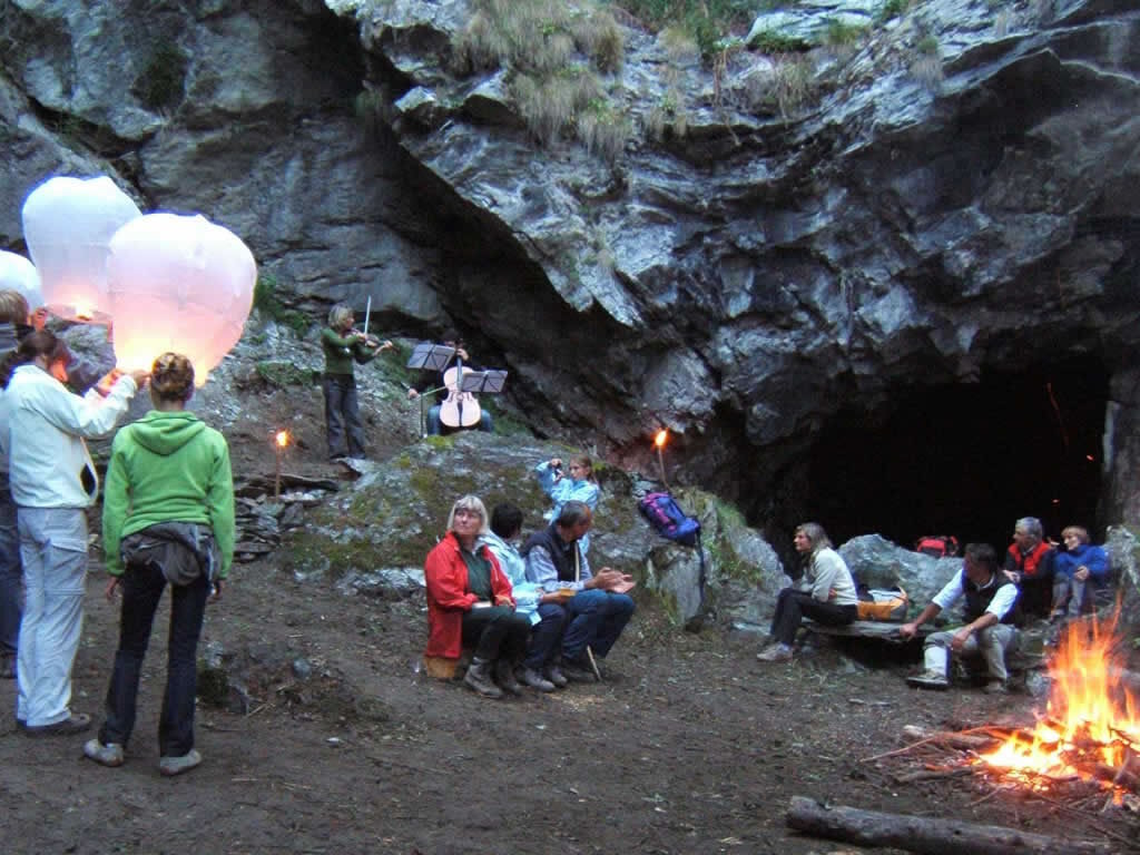
Miniere di Brusson
7.5 km away, in Brusson
Gold workings in the Val d'Ayas at Brusson, driven along the Chamousira vein and open underground.
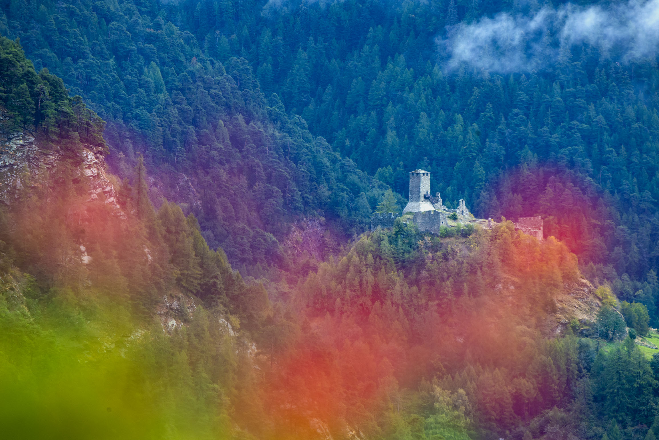
Castello di Graines
7.9 km away, in Brusson
An eleventh-century castle of the primitive type on a rock spur above Brusson, one of the oldest in the Valle d'Aosta.
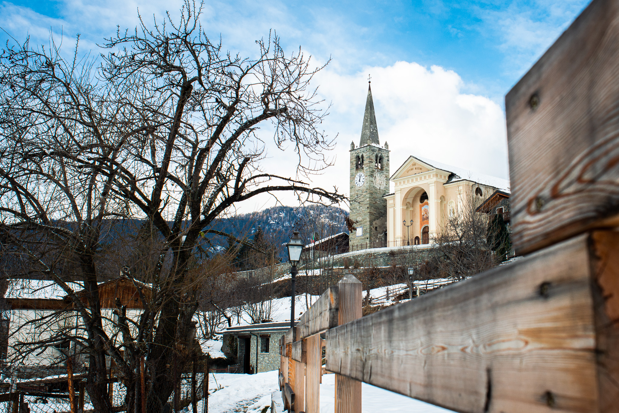
Chiesa di San Maurizio
8.1 km away, in Brusson
The church of San Maurizio in upper Brusson, built between 1870 and 1873 to a design by Giuseppe Lancia.
Le Miniere di manganese
8.6 km away, in Alagna Valsesia
Manganese workings above Alagna, driven into the slope in the nineteenth century and open on guided visits.
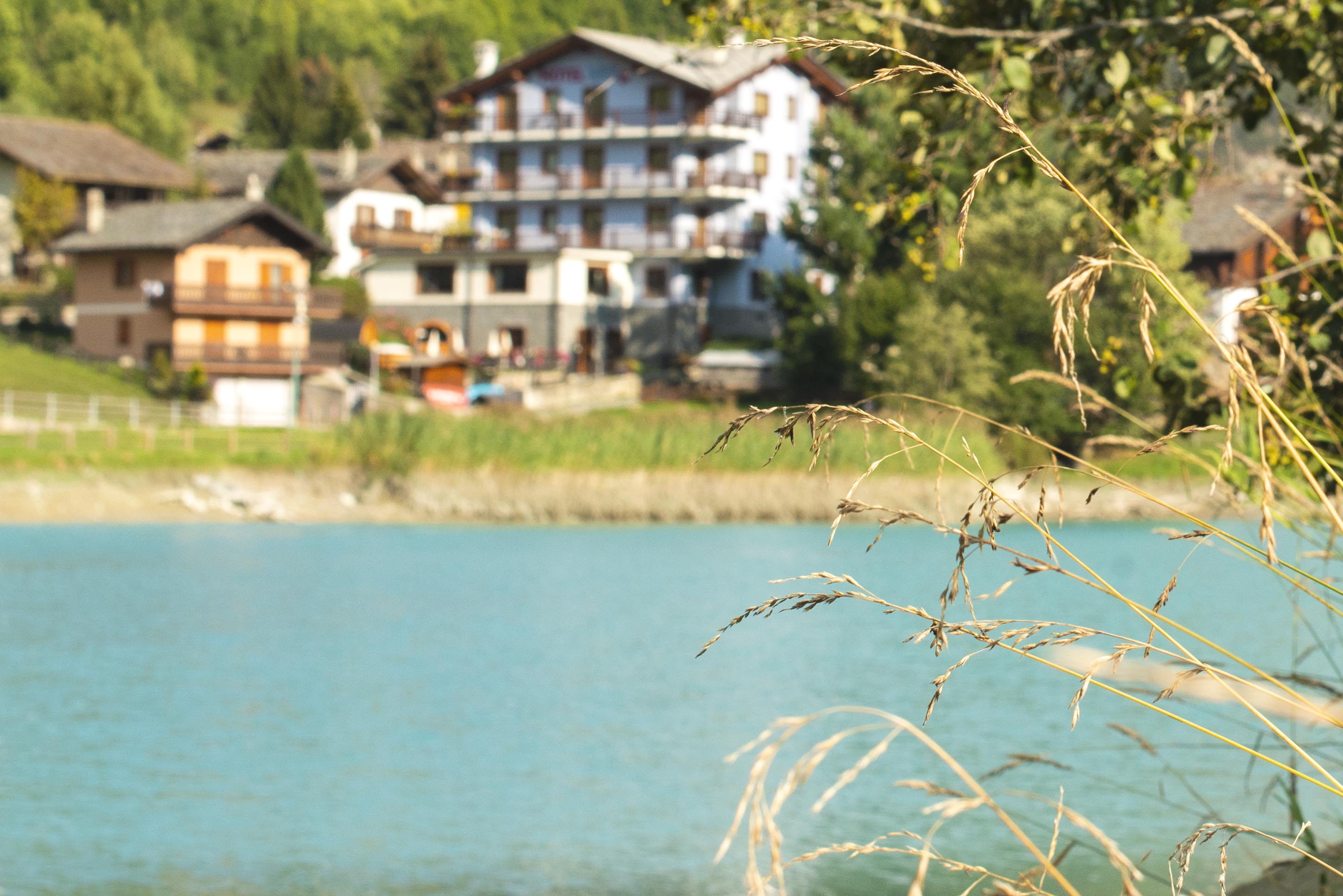
Lago di Brusson
9.1 km away, in Brusson
A lake among meadows at Brusson, with a lakeside path and playground on its shore.
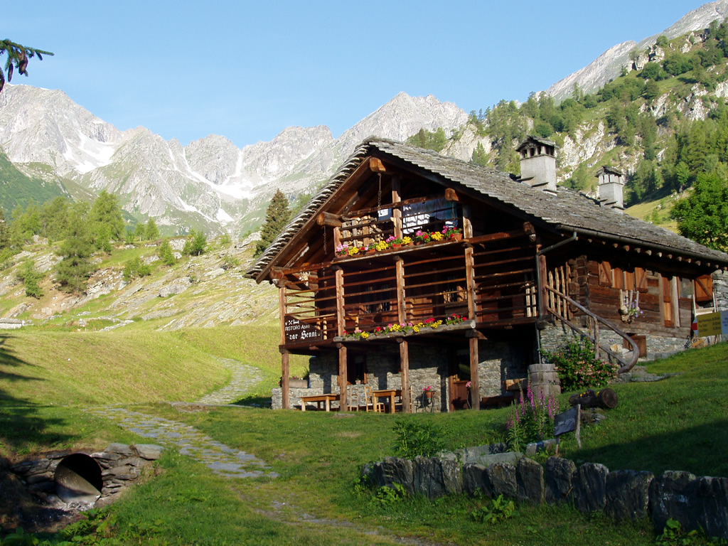
RIFUGIO ZAR SENNI
9.7 km away, in Alagna Valsesia
A hut in the Otro basin above Alagna, a hanging Walser valley of stone-and-timber hamlets.
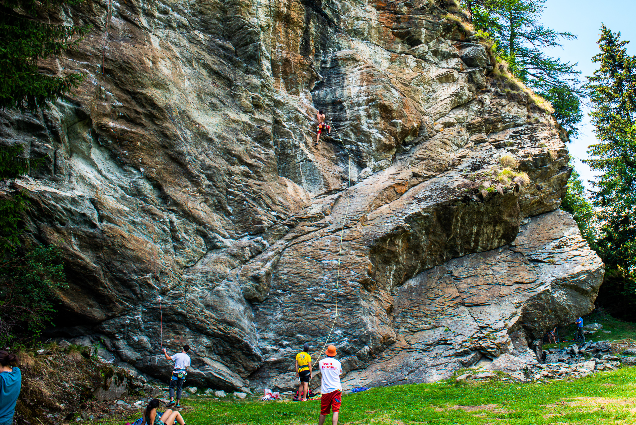
La Falesia di Extrapieraz
10.4 km away, in Brusson
A sport-climbing crag at Extrapieraz above Brusson, with easy routes suited to families.
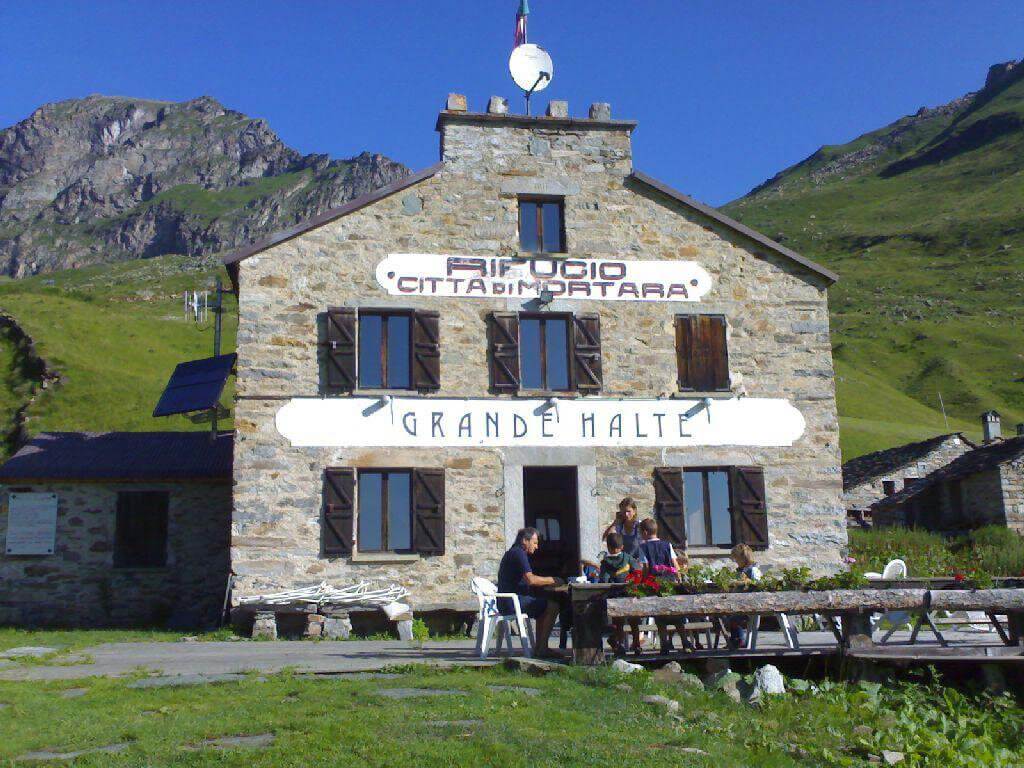
GRAND HALTE
10.7 km away, in Alagna Valsesia
A hut in Alagna built at the turn of the twentieth century, now run as an inn with a kitchen of its own.
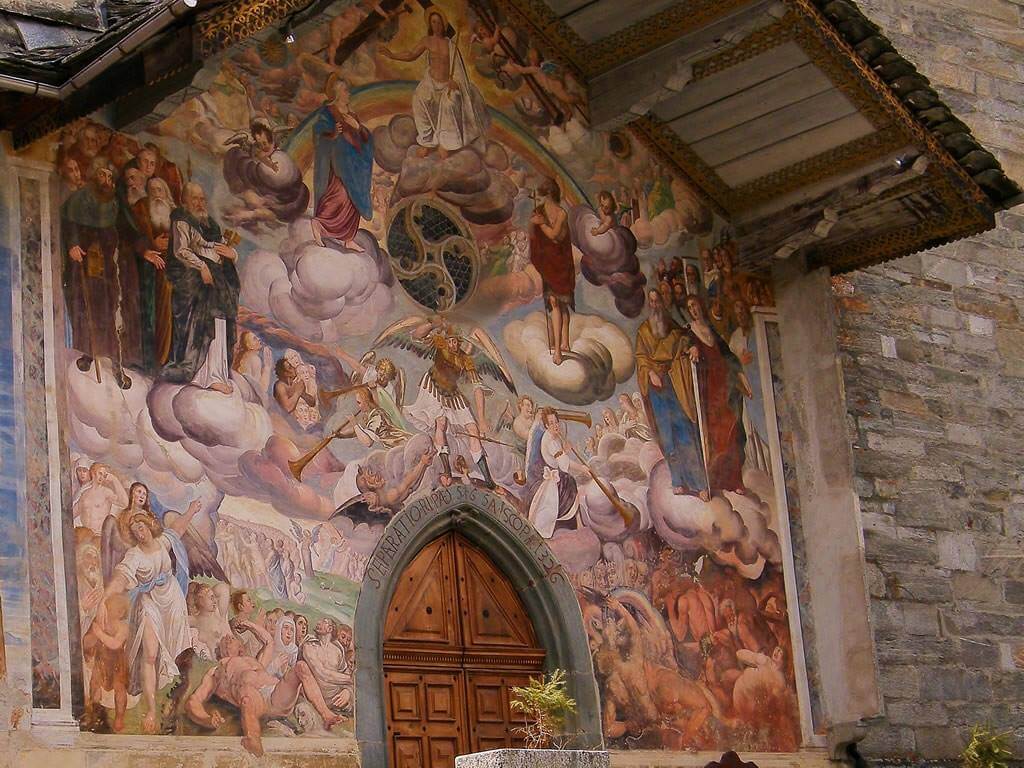
La Chiesa di Riva Valdobbia
10.9 km away, in Alagna Valsesia
A church consecrated in 1326 at Riva Valdobbia, rebuilt after a flood of the Vogna torrent in 1640, with a painted facade.
Nothing of this kind in Gressoney-Saint-Jean.
Routes
Colle Pinter
A short walk to the Colle Pinter above Ayas, on the way towards the Testa Grigia.
- 1.9 km
- Distance
- 0 m
- Ascent
- 1 h 10 min
- Duration
- 80
- Check-ins
Col Ranzola
A climb from Gressoney-Saint-Jean to the Col Ranzola, the old pass between the Lys and Ayas valleys.
- 9.8 km
- Distance
- 648 m
- Ascent
- 4 h 22 min
- Duration
- 38
- Check-ins
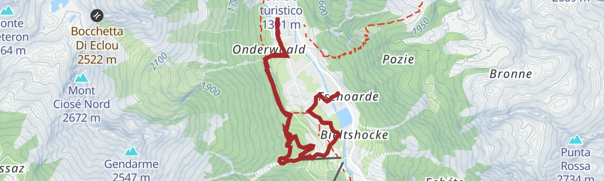
Gressoney-Saint-Jean
A long, hard day above Gressoney-Saint-Jean in the upper Lys valley, on the Walser slopes under Monte Rosa.
- 25.4 km
- Distance
- 2 294 m
- Ascent
- 14 h 23 min
- Duration
- 94
- Check-ins
Passo di Pra Bianco
An easy walk to the Pra Bianco pass above Gressoney-Saint-Jean, at the head of the Lys valley.
- 4.0 km
- Distance
- 318 m
- Ascent
- 2 h 3 min
- Duration
- 29
- Check-ins
Alpenzu Piccolo e Alpenzu Grande
A climb to Alpenzu Grande and Alpenzu Piccolo, which count among the earliest Walser settlements in the Lys valley.
- 3.4 km
- Distance
- 0 m
- Ascent
- 47 min
- Duration
- 28
- Check-ins
Monte Rosa WalserWaeg 15 km
A long stretch of the Walser Weg through the Lys valley, linking the German-speaking hamlets below Monte Rosa.
- 15.4 km
- Distance
- 571 m
- Ascent
- 5 h 1 min
- Duration
- 83
- Check-ins
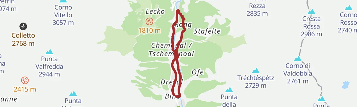
Rong
An easy, nearly level walk to Rong on the valley floor at Gressoney-Saint-Jean.
- 4.7 km
- Distance
- 111 m
- Ascent
- 1 h 22 min
- Duration
Alpenzu grande
A short, steep climb from the Lys valley to the Walser hamlet of Alpenzu Grande above Gressoney-Saint-Jean.
- 2.7 km
- Distance
- 358 m
- Ascent
- 2 h 6 min
- Duration
- 28
- Check-ins
Issime Staffal
A long valley route from Issime up to Staffal at the head of the Gressoney valley, under Monte Rosa.
- 24.1 km
- Distance
- 888 m
- Ascent
- 7 h 1 min
- Duration
- 68
- Check-ins
Monte Taf
A climb from Gressoney-Saint-Jean to Monte Taf, on the slopes above the Lys valley.
- 8.4 km
- Distance
- 783 m
- Ascent
- 4 h 53 min
- Duration
- 23
- Check-ins
Alpenzu e col Pinter
A long climb by the Walser hamlet of Alpenzu to the Colle Pinter, the pass over into the Ayas valley.
- 11.7 km
- Distance
- 1 356 m
- Ascent
- 8 h 7 min
- Duration
- 55
- Check-ins
Sentiero dei villaggi Walser
A nearly level route linking the Walser hamlets of the Lys valley around Gressoney-Saint-Jean.
- 12.6 km
- Distance
- 236 m
- Ascent
- 3 h 32 min
- Duration
- 22
- Check-ins
Punta Regina
A climb above Gressoney-Saint-Jean to the Punta Regina, on the ridge west of the Lys valley.
- 9.7 km
- Distance
- 965 m
- Ascent
- 5 h 56 min
- Duration
- 43
- Check-ins
Alpe Jatza
A climb from Gressoney-Saint-Jean to the Alpe Jatza, a pasture on the slopes above the Lys valley.
- 5.9 km
- Distance
- 547 m
- Ascent
- 3 h 25 min
- Duration
- 19
- Check-ins
Col Valdobbia e Valdobbiola
A long climb from the Lys valley to the Col Valdobbia and the Valdobbiola, the crossings towards the Valsesia.
- 13.7 km
- Distance
- 1 291 m
- Ascent
- 8 h 1 min
- Duration
- 38
- Check-ins
Passeggiata Lys Gressoney-Saint-Jean Gressoney-La-Trinité
A gentle valley walk on trail 15 between Gressoney-Saint-Jean and Gressoney-La-Trinité, with very little height gain the whole way.
- 7.7 km
- Distance
- 270 m
- Ascent
- 2 h 15 min
- Duration
- 18
- Check-ins
Testa Grigia
A long and steep ascent of the Testa Grigia from the floor of the Lys valley at Gressoney-La-Trinité.
- 12.4 km
- Distance
- 1 693 m
- Ascent
- 9 h 53 min
- Duration
- 38
- Check-ins
Passeggiata della Regina
An easy walk above Gressoney-Saint-Jean, the promenade named for Queen Margherita, who spent her summers at Castel Savoia.
- 8.7 km
- Distance
- 117 m
- Ascent
- 2 h 19 min
- Duration
- 18
- Check-ins
Sentiero Walser
A long section of the Walser path above Gressoney-Saint-Jean, working between the German-speaking hamlets of the Lys valley.
- 15.3 km
- Distance
- 1 030 m
- Ascent
- 6 h 36 min
- Duration
- 37
- Check-ins
Alpenzu Piccolo
A climb to the old Walser hamlet of Alpenzu Piccolo on the slopes above the Lys valley.
- 5.3 km
- Distance
- 361 m
- Ascent
- 2 h 25 min
- Duration
- 9
- Check-ins
Grande Traversata della Valsesia: Tappa 5 Ospizio Sottile al Colle Valdobbia
A hard stage of the Valsesia traverse ending at the Ospizio Sottile, the old hospice standing on the Colle di Valdobbia.
- 9.1 km
- Distance
- 3 320 m
- Ascent
- 17 h 36 min
- Duration
- 36
- Check-ins
RASSA
From the car park at Rassa, 917 m, beyond the stream on the left of the village, a surfaced lane runs on to the start of a steep road.
- 11.8 km
- Distance
- 0 m
- Ascent
- 4 h 11 min
- Duration
- 2
- Check-ins
Col Valfredda
A steep climb from the Lys valley to the Col Valfredda, high on the ridge above Gressoney-Saint-Jean.
- 11.3 km
- Distance
- 1 385 m
- Ascent
- 8 h 14 min
- Duration
- 30
- Check-ins
Castel Savoia
A walk above Gressoney-Saint-Jean to Castel Savoia, the summer residence built for Queen Margherita.
- 8.7 km
- Distance
- 321 m
- Ascent
- 2 h 50 min
- Duration
- 2
- Check-ins
Rifugio Sottile
A climb from the Lys valley to the Sottile hut at the Col Valdobbia, on the old crossing towards the Valsesia.
- 9.7 km
- Distance
- 1 094 m
- Ascent
- 6 h 34 min
- Duration
- 22
- Check-ins
Valle dei Principi
A steep climb through forest above Gressoney into the Valle dei Principi, which opens out into level pasture and huts.
- 7.5 km
- Distance
- 782 m
- Ascent
- 4 h 46 min
- Duration
Col Valnera
A steep climb from Gressoney-Saint-Jean to the Col Valnera on the ridge above the Lys valley.
- 9.4 km
- Distance
- 1 286 m
- Ascent
- 7 h 30 min
- Duration
- 17
- Check-ins
Andro Tschalvrinò
A route above Gressoney-Saint-Jean on the Walser slopes of the Lys valley, its name taken from the local Titsch dialect.
- 11.7 km
- Distance
- 408 m
- Ascent
- 3 h 46 min
- Duration
Piccolo Rothorn
A hard ascent of the Piccolo Rothorn, on the ridge east of Gressoney-La-Trinité between the Lys valley and Alagna.
- 11.4 km
- Distance
- 1 408 m
- Ascent
- 8 h 21 min
- Duration
- 13
- Check-ins
Col del Loo
A long climb from the Lys valley to the Col del Loo, high on the ridge above Gressoney-Saint-Jean.
- 16.6 km
- Distance
- 1 113 m
- Ascent
- 7 h 29 min
- Duration
- 9
- Check-ins
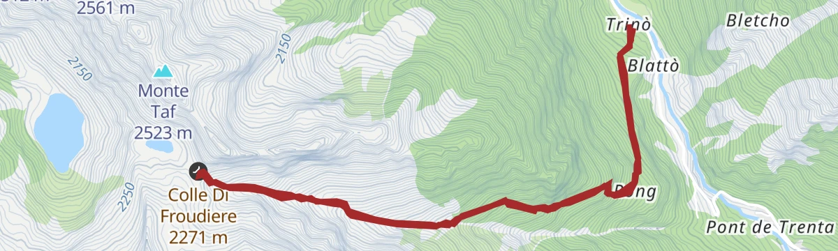
Passo di Frudiere
A climb from Gressoney-Saint-Jean to the Passo di Frudiere, the crossing west towards the Ayas valley.
- 7.9 km
- Distance
- 1 023 m
- Ascent
- 6 h 1 min
- Duration
- 7
- Check-ins
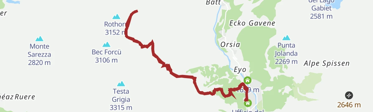
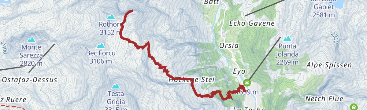
Onderwoald-Hockene Stei-Rothorn
A steep climb from the Punta Jolanda chairlift at Gressoney-La-Trinité, over an arched bridge and up by Onderwoald and Hockene Stei to the Rothorn.
- 5.4 km
- Distance
- 1 397 m
- Ascent
- 4 h 59 min
- Duration
- 4
- Check-ins
Passo Alpetto
A steep climb from the Lys valley to the Passo Alpetto, on the watershed above Gressoney-Saint-Jean.
- 9.6 km
- Distance
- 1 276 m
- Ascent
- 7 h 28 min
- Duration
- 4
- Check-ins
Bocchetta di Eclou
A steep climb from Gressoney-Saint-Jean to the Bocchetta di Eclou on the ridge above the Lys valley.
- 8.0 km
- Distance
- 1 146 m
- Ascent
- 6 h 38 min
- Duration
- 3
- Check-ins
Passo Rissuolo
A long climb from the Lys valley to the Passo Rissuolo, a high crossing on the eastern watershed.
- 10.0 km
- Distance
- 1 397 m
- Ascent
- 8 h 7 min
- Duration
- 1
- Check-ins
No routes of this kind in Gressoney-Saint-Jean yet.
The region's own picks
Featured route
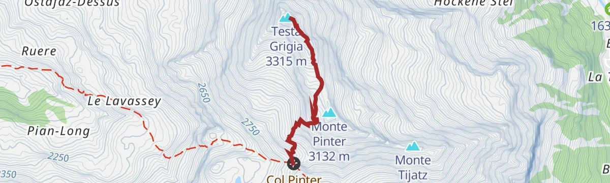
Colle Pinter
A short walk to the Colle Pinter above Ayas, on the way towards the Testa Grigia.
Planning a trip to Gressoney-Saint-Jean?
Everything else Aosta Valley has, in one place


Take Gressoney-Saint-Jean with you into the mountains
Every route on this page with 3D terrain, GPX navigation and offline maps — including the valleys with no signal.
Data sources
- Official website: lovevda.it ↗
- Routes and highlights: Monterosa Outdoor, Visit Monterosa, Piemonte Outdoor, Visitvalsesiavercelli
- Published as open data by the tourist boards named above.
- Region summary generated from the board's own material.
