
 Historic site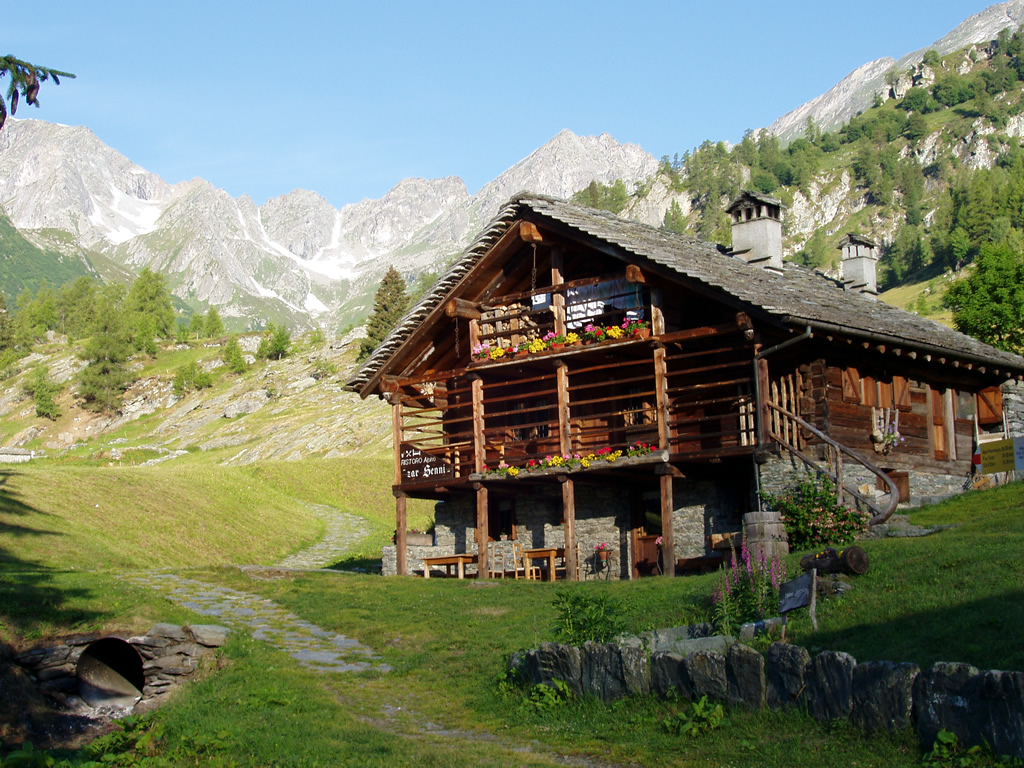










Curated by Visit Monterosa
Gressoney-La-Trinité
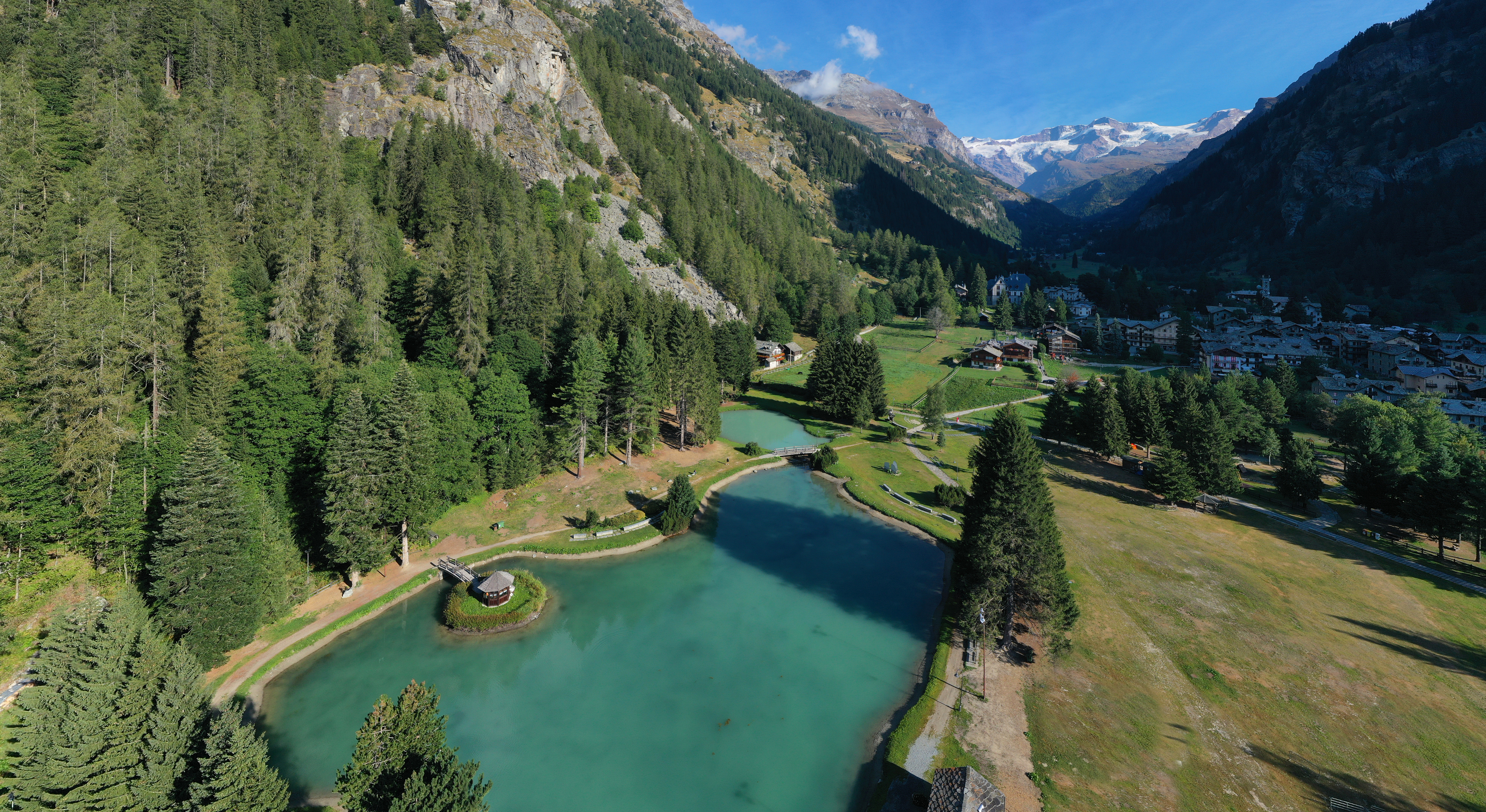
The upper Walser village of the Lys valley below the Lyskamm, with lifts towards the Punta Indren glacier terrain.
- 3Highlights
- 32Routes
- Featured summit · Testa Grigia
Highlights
12 from neighbouring places
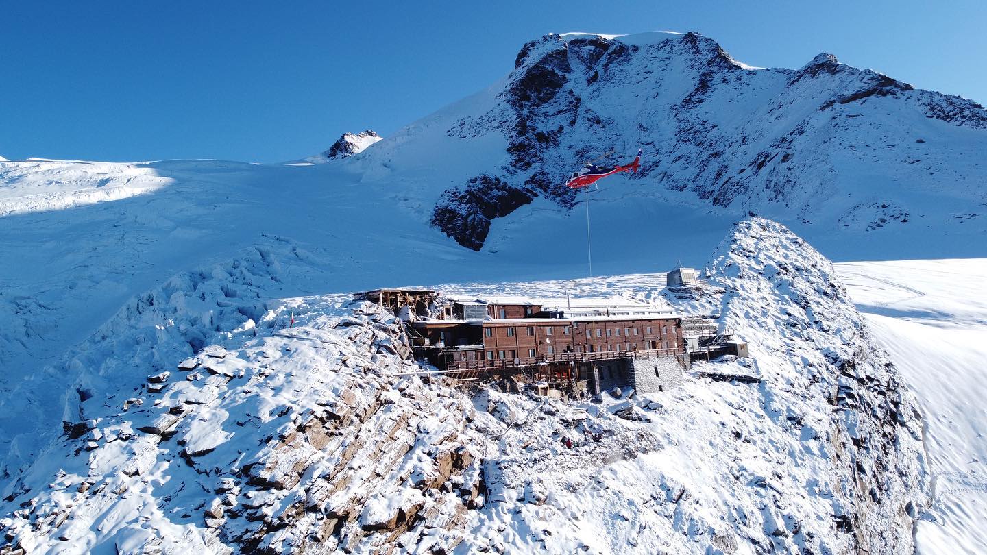
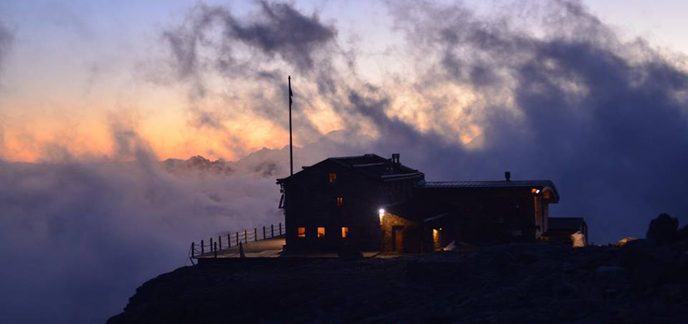
Rifugio Capanna Gnifetti
A hut on the Monte Rosa glaciers above Gressoney-La-Trinité, the usual overnight stop for the Punta Gnifetti climbs.
Rifugio Città di Mantova
A guides' hut at 3,498 m on the Garstelet glacier above Gressoney, a staging post for the Monte Rosa four-thousanders.
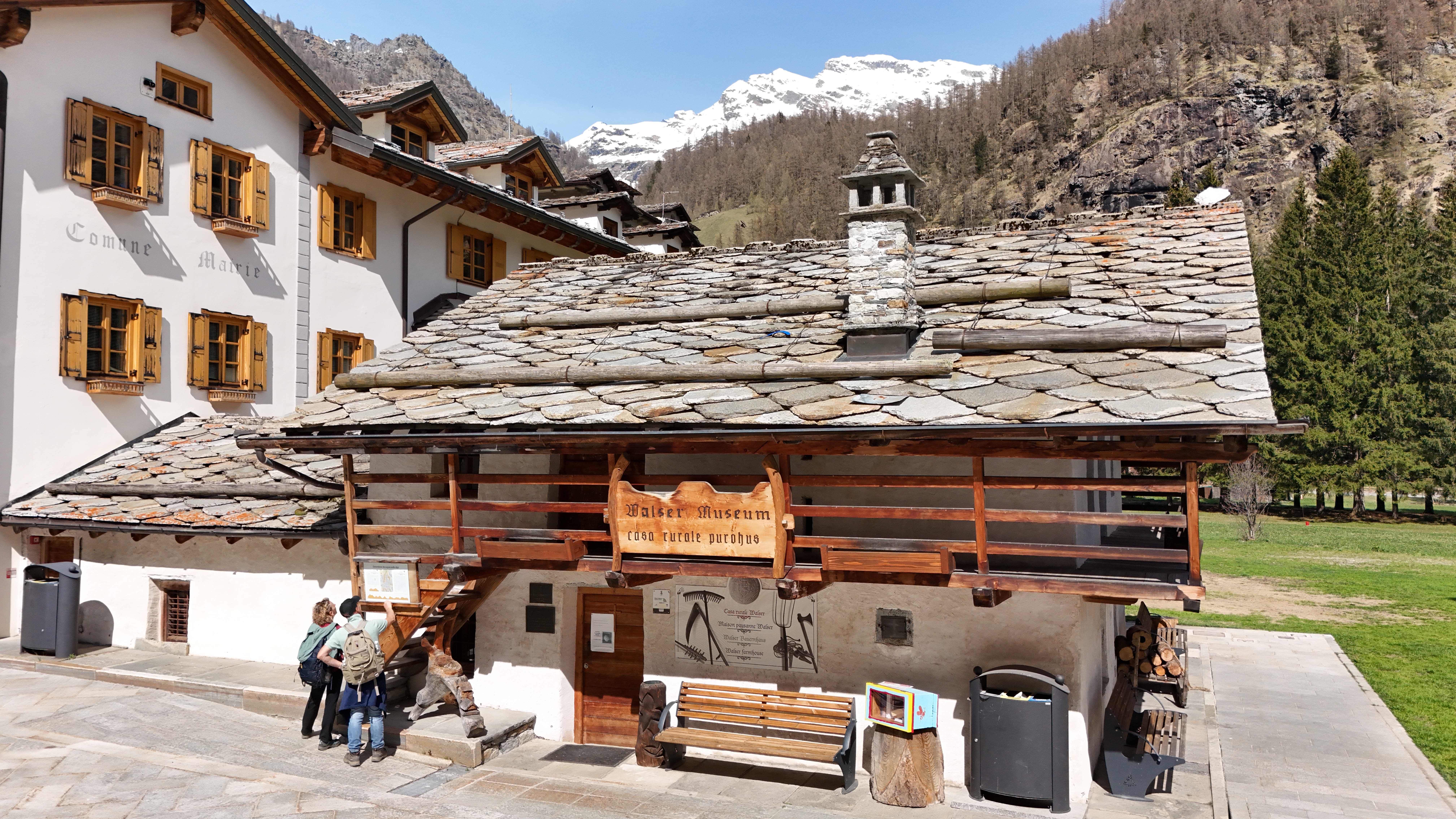
Ecomuseo Walser
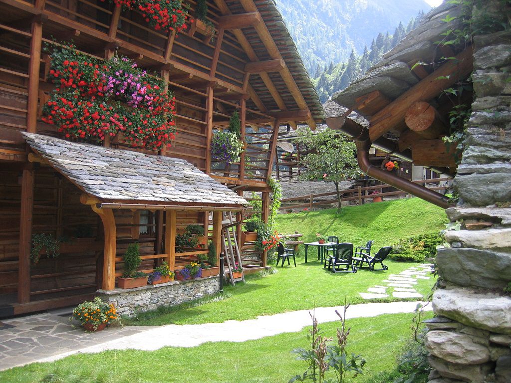
A Walser house at Gressoney kept as it was lived in, with the timber gallery and stone roof of the Lys valley.
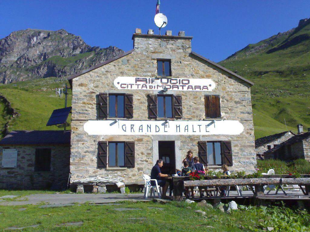
GRAND HALTE
6.6 km away, in Alagna Valsesia
A hut in Alagna built at the turn of the twentieth century, now run as an inn with a kitchen of its own.
Rifugio Mezzalama
6.9 km away, in Ayas
A hut at 3,036 m on the Val d'Ayas side of Monte Rosa, named after the alpinist Ottorino Mezzalama.
Le Miniere di manganese
7.2 km away, in Alagna Valsesia
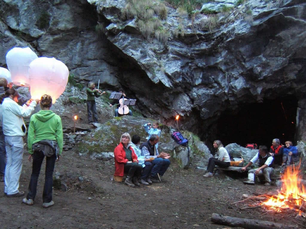
Manganese workings above Alagna, driven into the slope in the nineteenth century and open on guided visits.
RIFUGIO ZAR SENNI
8 km away, in Alagna Valsesia
A hut in the Otro basin above Alagna, a hanging Walser valley of stone-and-timber hamlets.
RIFUGIO PASTORE
8.2 km away, in Alagna Valsesia
A hut on the Alpe Pile meadows at 1,575 m in the Alta Valsesia park, on an old Walser pasture below Monte Rosa.
Il panorama del Rosa dal rifugio Pastore
8.2 km away, in Alagna Valsesia
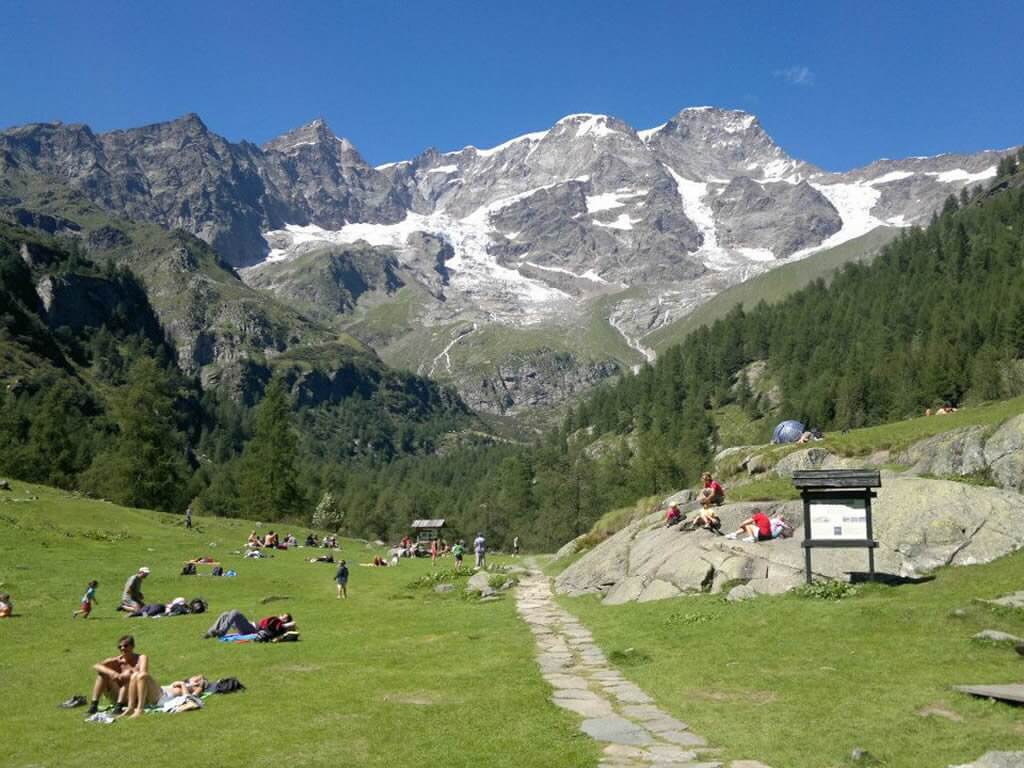
A twenty-minute walk from the Alpe Pile hut to the most open view of the Monte Rosa glaciers.
La Chiesa di Alagna
8.9 km away, in Alagna Valsesia
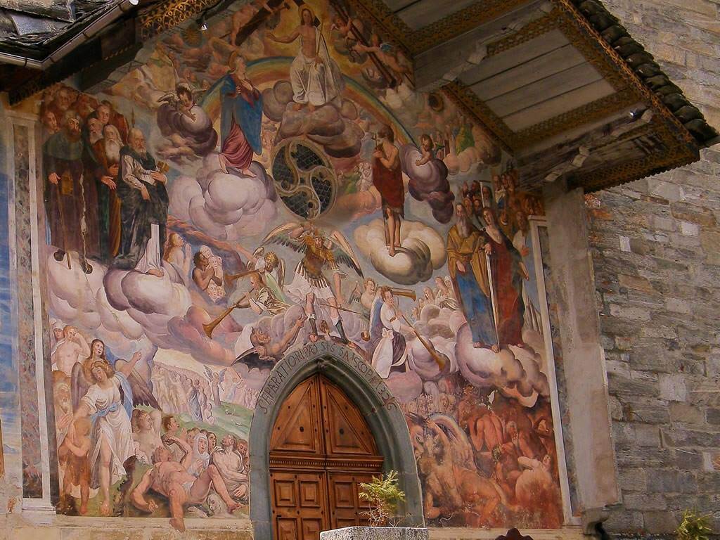
The parish church of San Giovanni Battista in the Cantro quarter of Alagna, its portico carrying nineteenth-century frescoes.
Baita Walser Reale
8.9 km away, in Alagna Valsesia
A Walser house of stone and timber above Alagna, rebuilt in the traditional way and run as a hut.
Il lago ed il rifugio dell’Alpe Campo
9.8 km away, in Alagna Valsesia
A pasture and small lake on the Alpe Campo terrace, the classic balcony view of the Monte Rosa east face.
L’assolata Val Vogna fino al lago de la Peccia
9.9 km away, in Alagna Valsesia
A gently graded path up the Val Vogna from Riva Valdobbia, an old Walser mule track leading to the Lago della Peccia.
Lago Gover
10.3 km away, in Gressoney-Saint-Jean
A small lake in old conifer woods above Gressoney-Saint-Jean, with the Monte Rosa summits reflected on clear days.
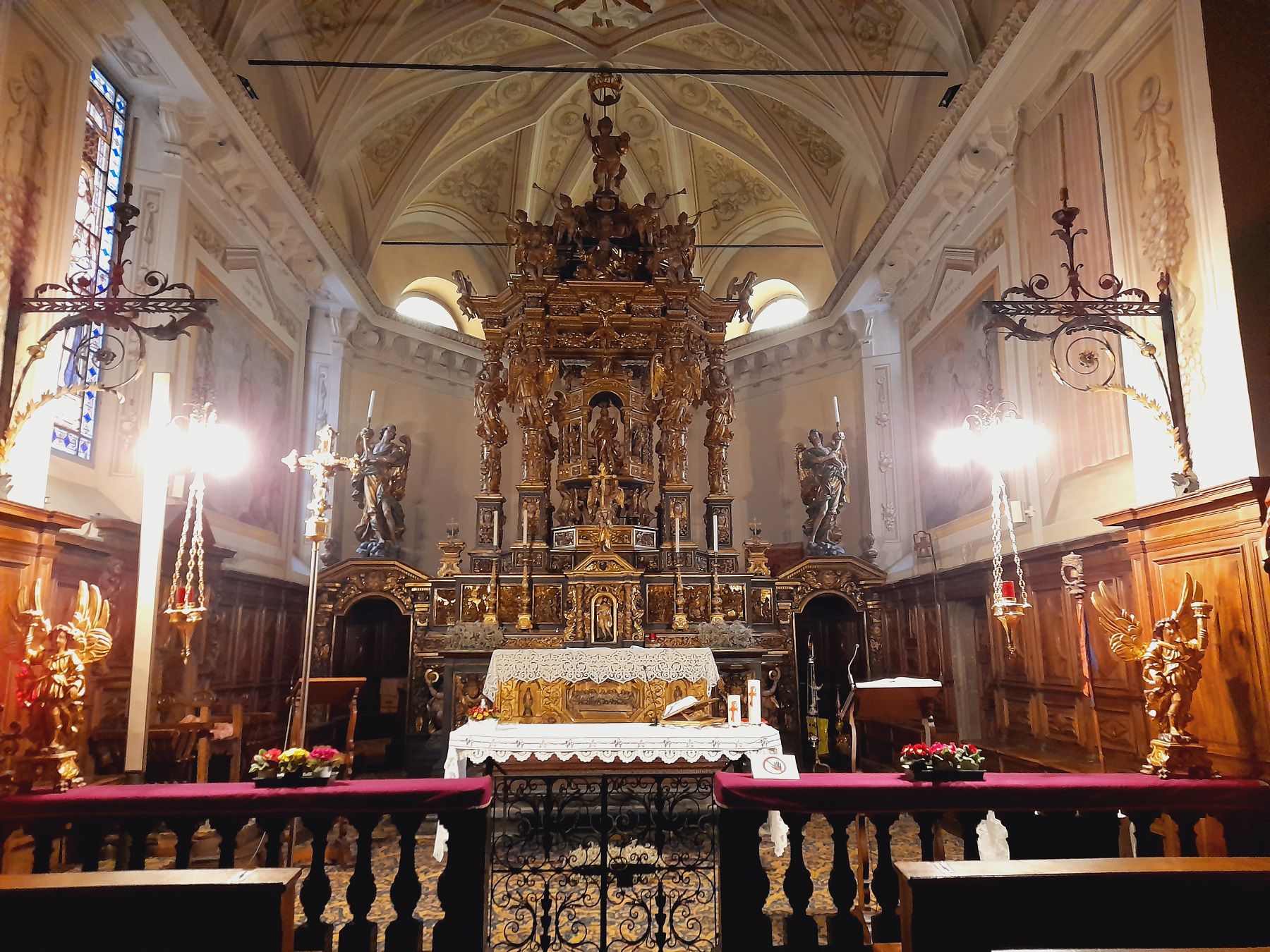
La Chiesa di Riva Valdobbia
10.8 km away, in Alagna Valsesia
A church consecrated in 1326 at Riva Valdobbia, rebuilt after a flood of the Vogna torrent in 1640, with a painted facade.
Nothing of this kind in Gressoney-La-Trinité.
Routes
Punta Jolanda
A walk from the top of the Punta Jolanda chairlift above Gressoney, tied to the lift's opening hours.
- 4.3 km
- Distance
- 226 m
- Ascent
- 1 h 26 min
- Duration
- 57
- Check-ins
Rifugio Quintino Sella
A climb from the Bettaforca side above Gressoney-La-Trinité to the Quintino Sella hut, on the Monte Rosa flank of the Lys valley.
- 8.3 km
- Distance
- 862 m
- Ascent
- 5 h 16 min
- Duration
- 325
- Check-ins
ALAGNA
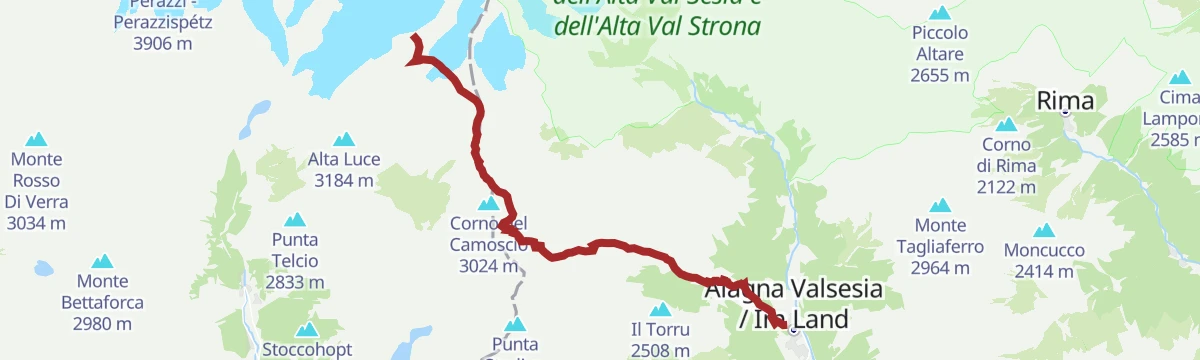
The old crossing from Alagna towards Gressoney by the Col d'Olen, once the easiest way between the two valleys.
- 12.3 km
- Distance
- 2 499 m
- Ascent
- 9 h 26 min
- Duration
- 289
- Check-ins
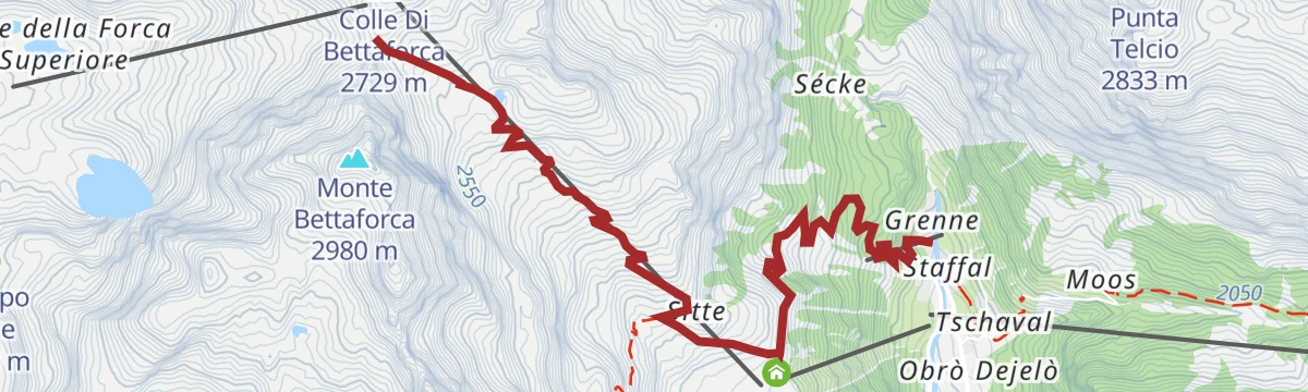
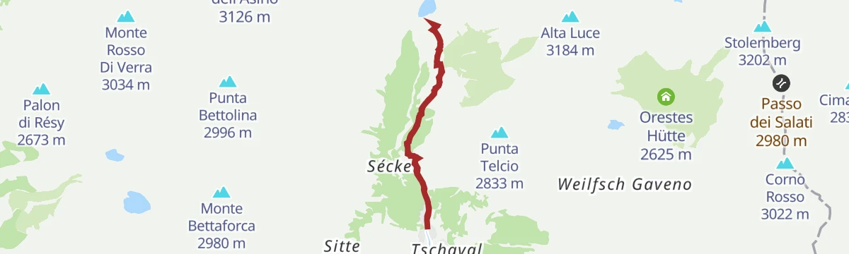
Col Bettaforca
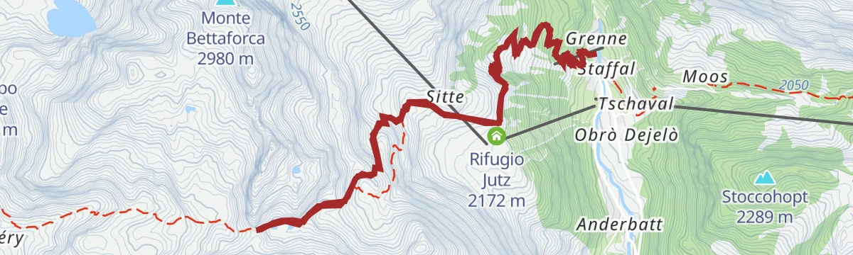
A climb from Stafal past Rifugio Jutz and Ristoro Sitten to the pass at 2,672 m at the head of the Gressoney valley.
- 10.9 km
- Distance
- 852 m
- Ascent
- 2 h 6 min
- Duration
- 88
- Check-ins
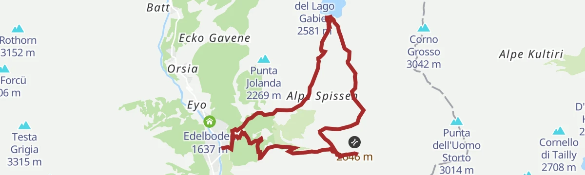
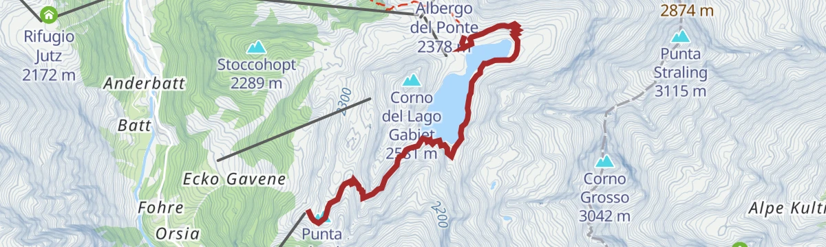
Lago Gabiet (da Punta Jolanda)
An easy walk from the top of the Punta Jolanda lift above Gressoney-La-Trinité to the Gabiet lake.
- 6.4 km
- Distance
- 180 m
- Ascent
- 1 h 56 min
- Duration
- 30
- Check-ins
Staffal
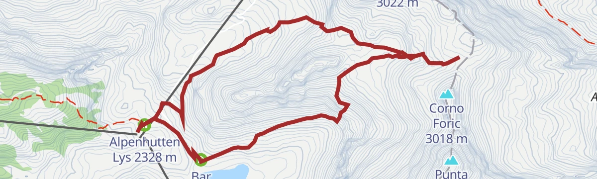
From the top station of the Gabiet gondola, a dirt track into the Vallone di Mos followed on waymark 6a, under the Stolemberg.
- 9.8 km
- Distance
- 612 m
- Ascent
- 5 h 24 min
- Duration
- 244
- Check-ins
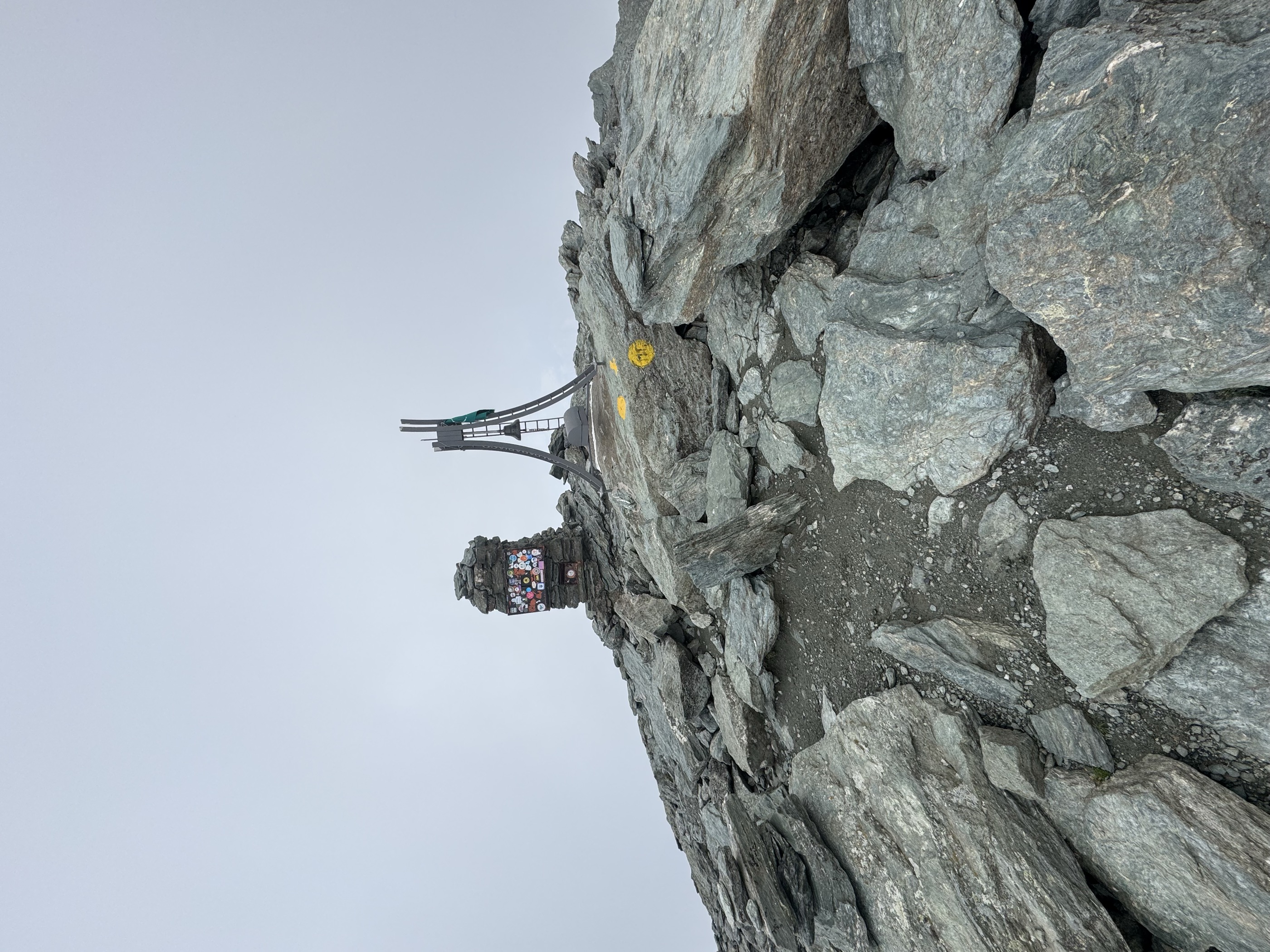
 Stolemberg 3 202 m
 Rifugio Città di Mantova 3 498 m
- Alpenhutten Lys 2 328 m
 Lago Verde inferiore II 2 607 m
- Lago Verde inferiore 2 608 m
- Lago Verde superiore 2 609 m
- +3
Rifugio Città di Mantova
A long climb from the head of the Lys valley towards the Città di Mantova hut, high on the Monte Rosa slopes above Gressoney-La-Trinité.
- 13.3 km
- Distance
- 1 134 m
- Ascent
- 7 h 12 min
- Duration
- 275
- Check-ins
- Rifugio Città di Mantova 3 498 m
- Albergo del Ponte 2 378 m
- Alpenhutten Lys 2 328 m
- Lago Verde inferiore II 2 607 m
- Lago Verde inferiore 2 608 m
- Lago Garstelet 3 387 m
- +1
Punta Jolanda
A short climb above Gressoney-La-Trinité from Edelboden up to Bedemi at about 1,900 m, following the line of the lifts.
- 8.6 km
- Distance
- 587 m
- Ascent
- 1 h 30 min
- Duration
- 17
- Check-ins
Piazza Tache
A steep path from the square at Gressoney-La-Trinité on waymarks 9 and 9a, climbing through thin larch wood to Piazza Tache.
- 3.6 km
- Distance
- 194 m
- Ascent
- 1 h 10 min
- Duration
- 23
- Check-ins
Alta Luce
A route to the Alta Luce, a peak on the ridge above Gressoney-La-Trinité at the head of the Lys valley.
- 13.0 km
- Distance
- 855 m
- Ascent
- 5 h 47 min
- Duration
- 165
- Check-ins
Tour del Monte Rosa
A stage of the ten-day Tour of Monte Rosa, a circuit of about 160 km among the highest summits of the range.
- 17.3 km
- Distance
- 929 m
- Ascent
- 8 h 8 min
- Duration
- 178
- Check-ins
Monterosa Ski Col Bettaforca
A short, steep climb to the Colle di Bettaforca, the pass between the Gressoney and Ayas valleys.
- 3.1 km
- Distance
- 551 m
- Ascent
- 2 h 5 min
- Duration
- 165
- Check-ins
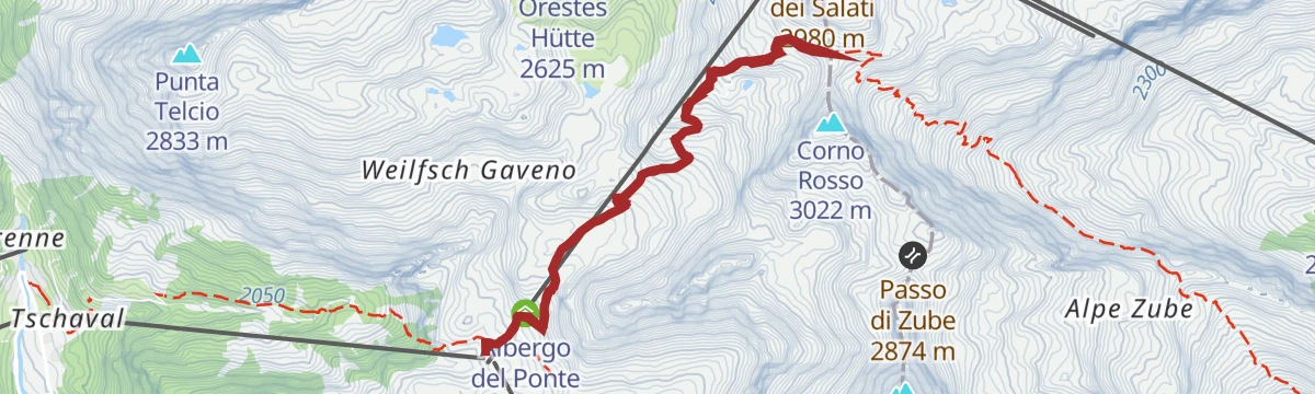
Passo Salati
A long climb from Gressoney-La-Trinité to the Passo dei Salati, on the ridge at the head of the Lys valley towards Alagna.
- 17.4 km
- Distance
- 1 168 m
- Ascent
- 7 h 51 min
- Duration
- 130
- Check-ins
 Passo dei Salati 2 980 m
- Albergo del Ponte 2 378 m
- Wunderbar 1 821 m
- Lago col d'Olen 2 727 m
Passo Zube
A climb from Gressoney-La-Trinité to the Passo Zube, on the ridge closing the head of the Lys valley.
- 6.8 km
- Distance
- 560 m
- Ascent
- 3 h 35 min
- Duration
- 134
- Check-ins
Monterosa Ski Passo dei Salati
A steady climb to the Passo dei Salati, high in the Monte Rosa ski area above Gressoney-La-Trinité.
- 8.2 km
- Distance
- 650 m
- Ascent
- 4 h 12 min
- Duration
- 124
- Check-ins
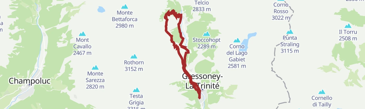
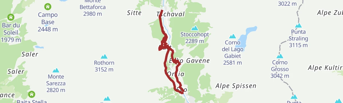
Gressoney La Trinité
From Stafal along the right bank of the Lys torrent, then turning away from the water to climb the slope above Gressoney-La-Trinité.
- 5.2 km
- Distance
- 0 m
- Ascent
- 1 h 13 min
- Duration
- 88
- Check-ins
Issime Staffal
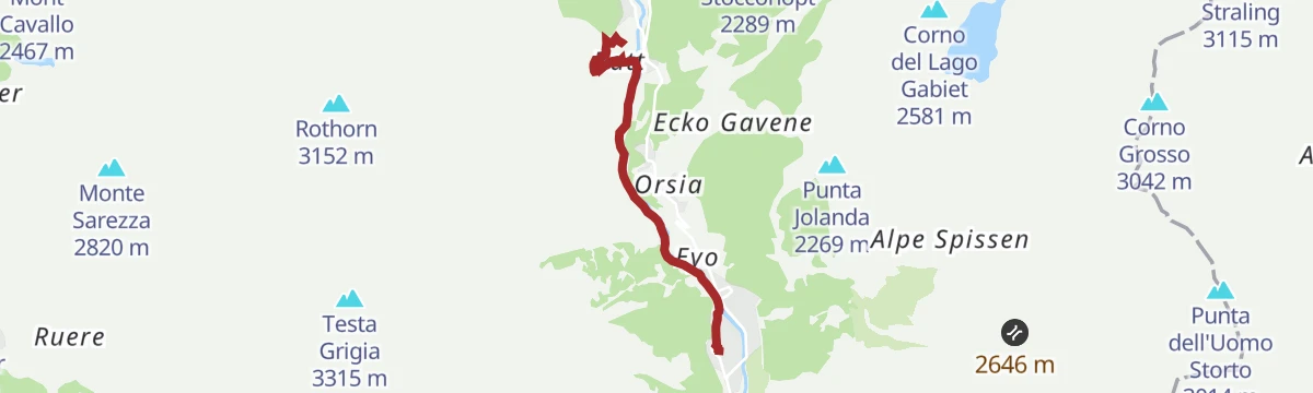
A long valley route from Issime up to Staffal at the head of the Gressoney valley, under Monte Rosa.
- 24.1 km
- Distance
- 888 m
- Ascent
- 7 h 1 min
- Duration
- 68
- Check-ins
Sant’Anna
A walk up to Sant'Anna on the slopes above Gressoney-La-Trinité, in the upper Lys valley.
- 11.7 km
- Distance
- 620 m
- Ascent
- 4 h 27 min
- Duration
- 88
- Check-ins
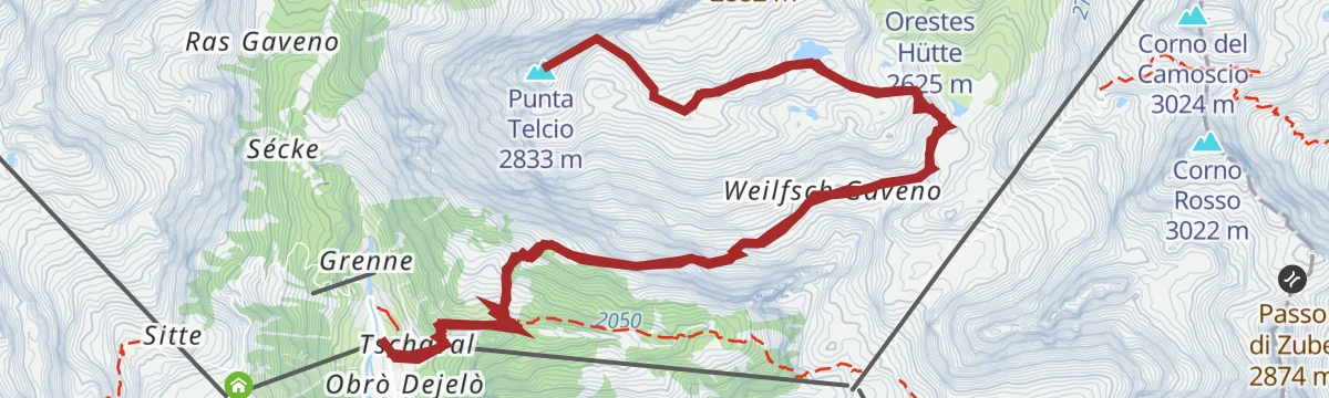
Punta Telcio
A long climb to Punta Telcio, a peak on the slopes above Gressoney-La-Trinité in the upper Lys valley.
- 15.1 km
- Distance
- 1 027 m
- Ascent
- 6 h 53 min
- Duration
- 59
- Check-ins
- Punta Telcio 2 833 m
- Lago Verde inferiore II 2 607 m
- Lago Verde inferiore 2 608 m
- Lago Blu 2 687 m
- Punta Telcio nord 2 710 m
- Punta Telcio sud 2 707 m
Col d’Olen
A climb from the head of the Lys valley to the Col d'Olen, the pass over into the Valsesia above Alagna.
- 7.0 km
- Distance
- 560 m
- Ascent
- 3 h 36 min
- Duration
- 75
- Check-ins
Testa Grigia
A long and steep ascent of the Testa Grigia from the floor of the Lys valley at Gressoney-La-Trinité.
- 12.4 km
- Distance
- 1 693 m
- Ascent
- 9 h 53 min
- Duration
- 38
- Check-ins
Passo del Rothorn
A climb to the Passo del Rothorn on the ridge east of Gressoney-La-Trinité, above the upper Lys valley.
- 9.7 km
- Distance
- 848 m
- Ascent
- 5 h 20 min
- Duration
- 57
- Check-ins
- Rifugio Jutz 2 172 m
- Colle de Rothorn 2 689 m
- Lago del Salero superiore 2 638 m
- Lago del Salero inferiore 2 628 m
Staffal-Bettolina
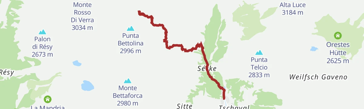
Trail 1 from Stafal at the head of the Lys valley up to the Passo della Bettolina at 2,906 m.
- 4.7 km
- Distance
- 1 085 m
- Ascent
- 3 h 56 min
- Duration
- 36
- Check-ins
Anello Gressoney-La-Trinité
A loop from the car park at Gressoney-La-Trinité, over the bridge and up the meadows behind the cable car ticket offices.
- 10.8 km
- Distance
- 556 m
- Ascent
- 4 h 2 min
- Duration
- 43
- Check-ins
Passo della Bettolina inferiore
A climb to the lower Bettolina pass on the ridge between the Lys and Ayas valleys, above Gressoney-La-Trinité.
- 9.1 km
- Distance
- 1 084 m
- Ascent
- 6 h 28 min
- Duration
- 36
- Check-ins
Edelboden
A walk to Edelboden, one of the Walser settlements on the slopes of the upper Lys valley above Gressoney-La-Trinité.
- 8.3 km
- Distance
- 343 m
- Ascent
- 2 h 47 min
- Duration
- 40
- Check-ins
Piccolo Rothorn
A hard ascent of the Piccolo Rothorn, on the ridge east of Gressoney-La-Trinité between the Lys valley and Alagna.
- 11.4 km
- Distance
- 1 408 m
- Ascent
- 8 h 21 min
- Duration
- 13
- Check-ins
Alpenzu Piccolo
A climb to the old Walser hamlet of Alpenzu Piccolo on the slopes above the Lys valley.
- 5.3 km
- Distance
- 361 m
- Ascent
- 2 h 25 min
- Duration
- 9
- Check-ins
Bivacco Gastaldi e Gabiet
A long climb above Gressoney-La-Trinité to the Gastaldi bivouac and the Gabiet lake.
- 10.5 km
- Distance
- 1 148 m
- Ascent
- 6 h 56 min
- Duration
- 7
- Check-ins
Bivacco Gastaldi
A steep climb to the Gastaldi bivouac, starting from the yard opposite the Wongade restaurant on the valley road.
- 3.3 km
- Distance
- 0 m
- Ascent
- 46 min
- Duration
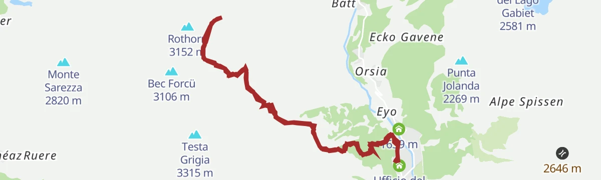
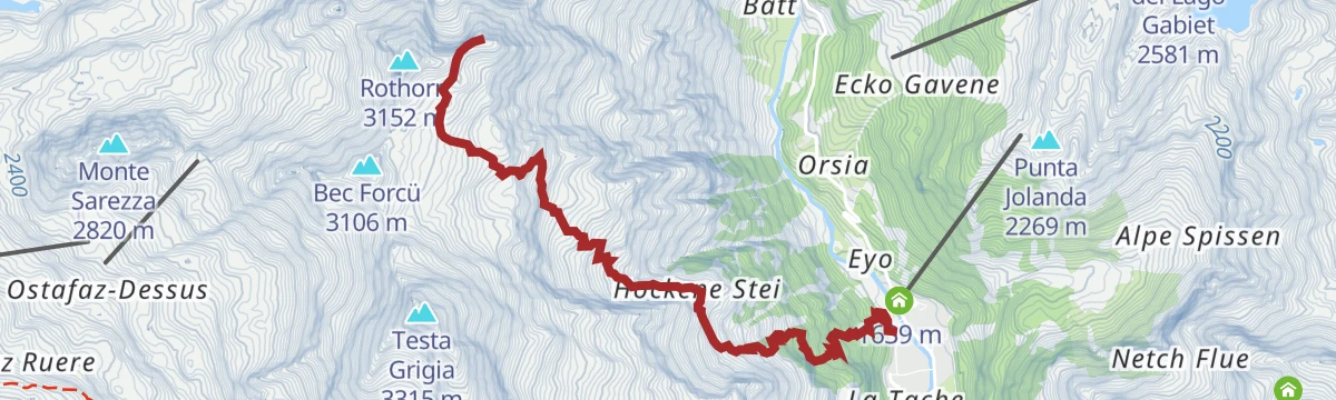
Onderwoald-Hockene Stei-Rothorn
A steep climb from the Punta Jolanda chairlift at Gressoney-La-Trinité, over an arched bridge and up by Onderwoald and Hockene Stei to the Rothorn.
- 5.4 km
- Distance
- 1 397 m
- Ascent
- 4 h 59 min
- Duration
- 4
- Check-ins
Sorgenti del Lys
A climb to the springs of the Lys below the Monte Rosa glaciers, at the head of the valley above Stafal.
- 6.5 km
- Distance
- 601 m
- Ascent
- 3 h 45 min
- Duration
No routes of this kind in Gressoney-La-Trinité yet.
The region's own picks
Featured route
Punta Jolanda
A walk from the top of the Punta Jolanda chairlift above Gressoney, tied to the lift's opening hours.
Planning a trip to Gressoney-La-Trinité?
Everything else Aosta Valley has, in one place


Take Gressoney-La-Trinité with you into the mountains
Every route on this page with 3D terrain, GPX navigation and offline maps — including the valleys with no signal.
Data sources
- Official website: lovevda.it ↗
- Routes and highlights: Visit Monterosa, Monterosa Outdoor, Visitvalsesiavercelli
- Published as open data by the tourist boards named above.
- Region summary generated from the board's own material.
