
 Historic site
 Cable car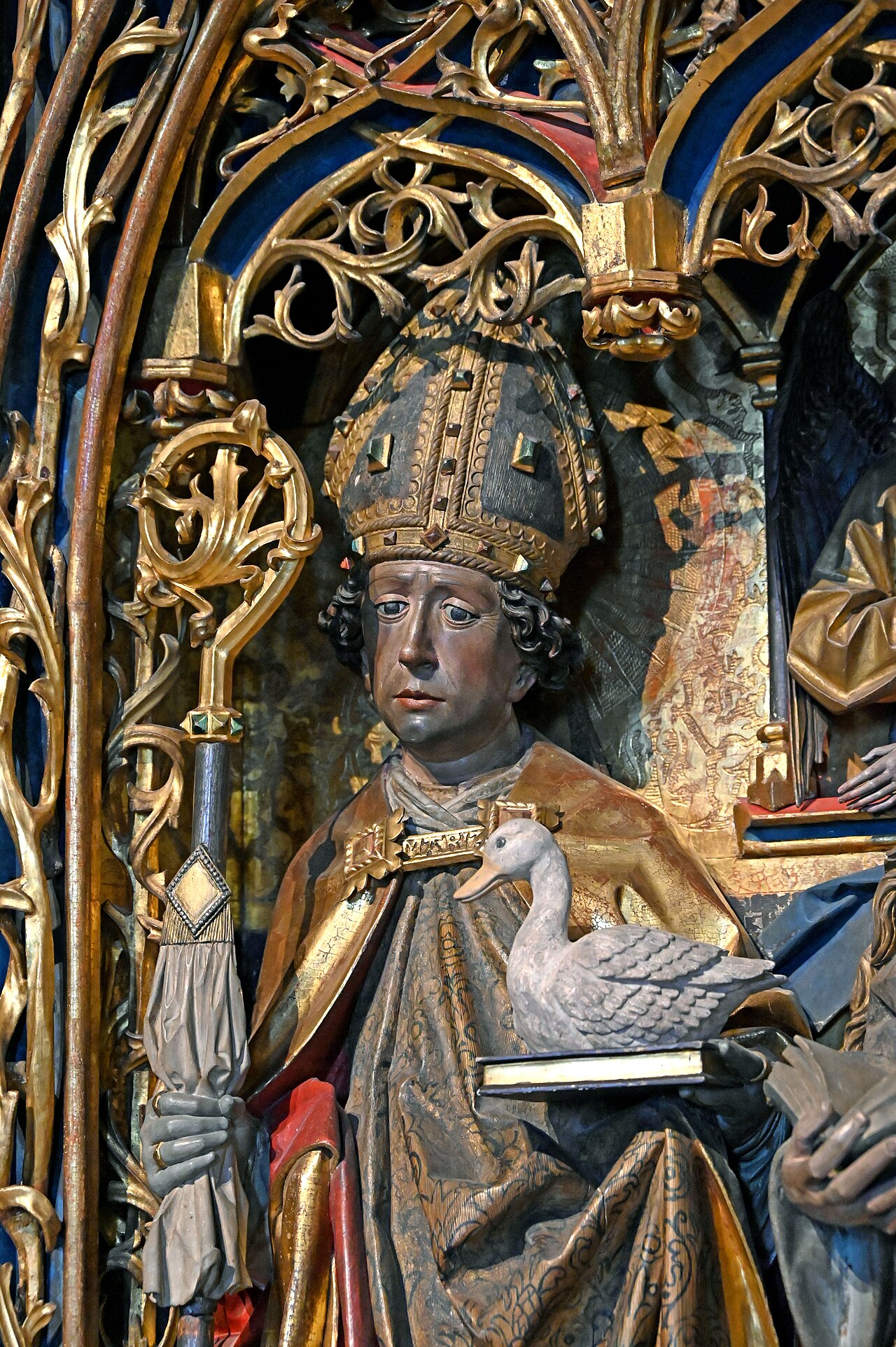









Curated by Tannheimer Tal
Grän
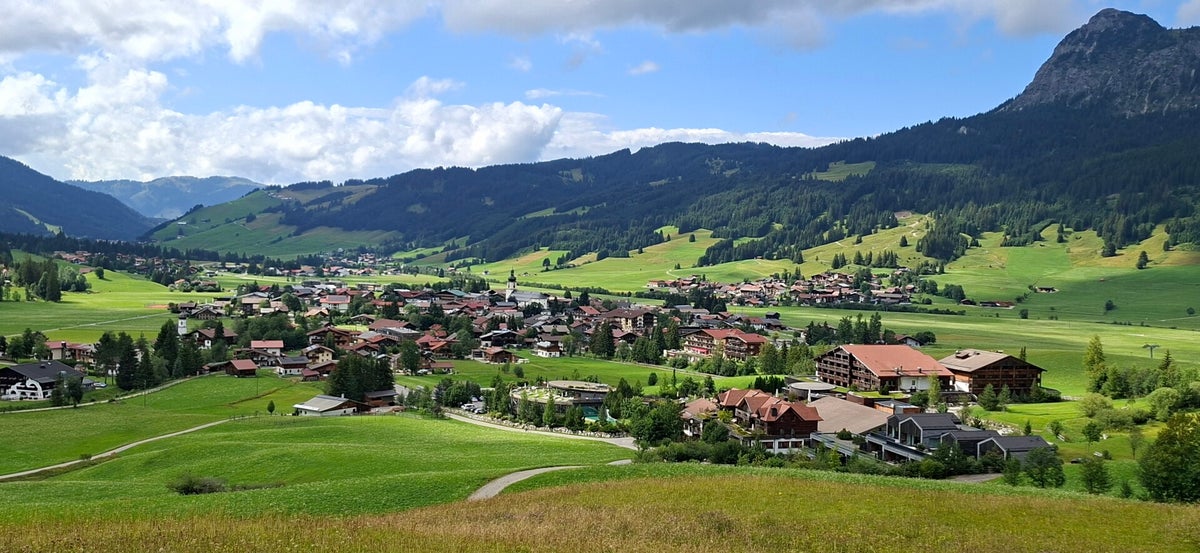
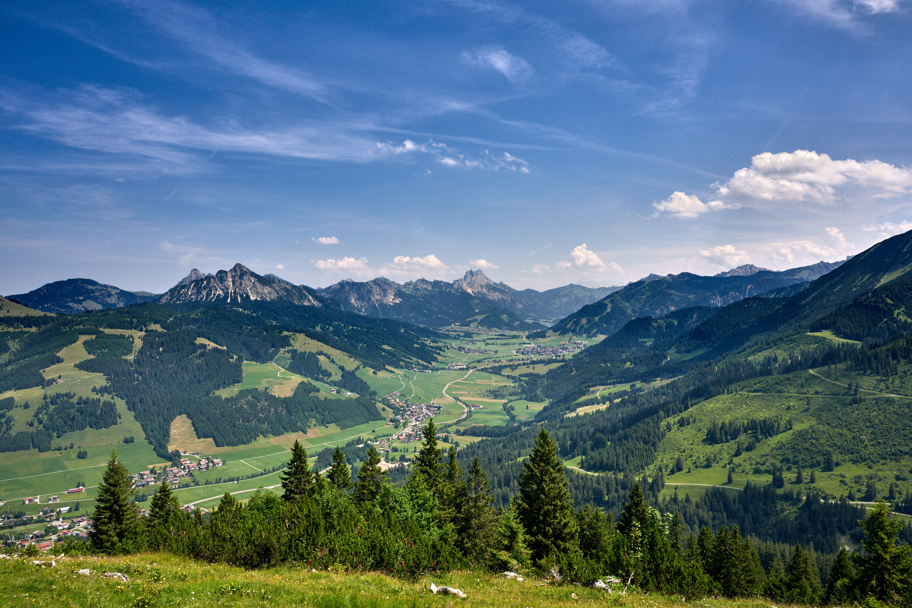
A Tannheimer Tal village near the Bavarian border at about 1140 m, spread between the Haldensee lake and the crags of the Tannheim range.
- 5Highlights
- 68Routes
- Featured summit · Aggenstein
Highlights
10 from neighbouring places
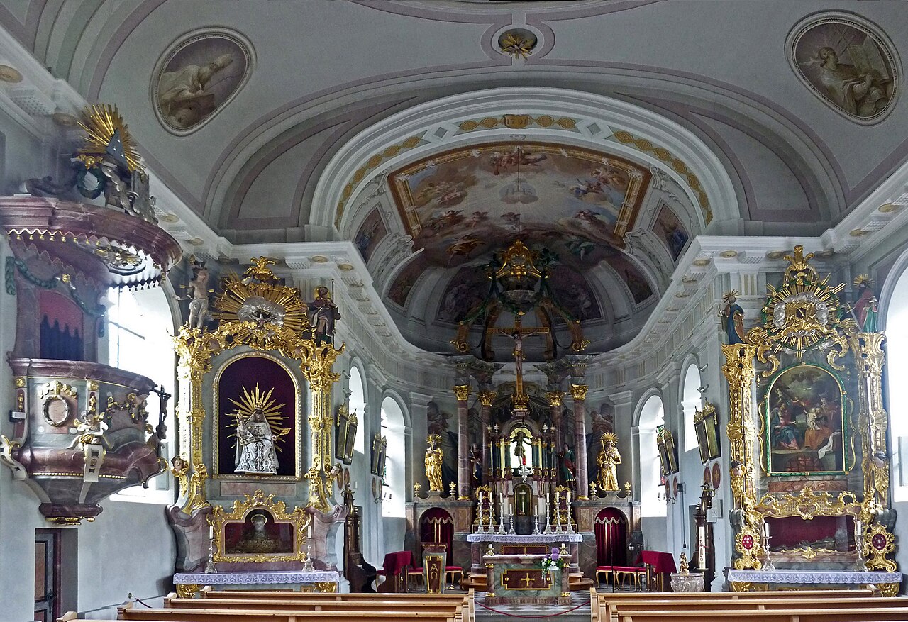
Pfarrkirche zum Hl. Wendelin
The parish church of Grän in the Tannheimer Tal, dedicated to St Wendelin, the patron saint of shepherds and herders.
Vater-unser-Weg
A contemplative themed path at Grän whose stations follow the lines of the Lord's Prayer, laid out for a quiet walk near the village.
Bergbahnen Tannheimer Tal - Füssener Jöchle
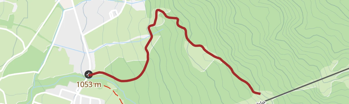
A gondola from Grän up to the Füssener Jöchle, opening walks along the ridge country between the Tannheimer Tal and the Allgäu.
Erlebnisspielplatz in Grän
An adventure playground in Grän at 1,138 m, one of a chain of free village play areas along the Tannheimer Tal.
Waldspielplatz am Bächle Grän
A forest playground by a small stream near Grän, with natural play features under the trees close to the Haldensee.
St. Martin Kapelle
2.1 km away, in Tannheim
A chapel dedicated to St Martin between Tannheim and Grän, one of the many small churches scattered along the Tannheimer Tal.
Bergbahnen Tannheimer Tal - Neunerköpfle
2.4 km away, in Tannheim
A gondola from Tannheim onto the Neunerköpfle, a well-known paragliding launch and the start of high-path walks above the valley.
Tanni - Kinderclub
2.6 km away, in Tannheim
A supervised children's club in Tannheim, named after the Tannheimer Tal's marmot mascot Tanni and offering activity programmes for guests.
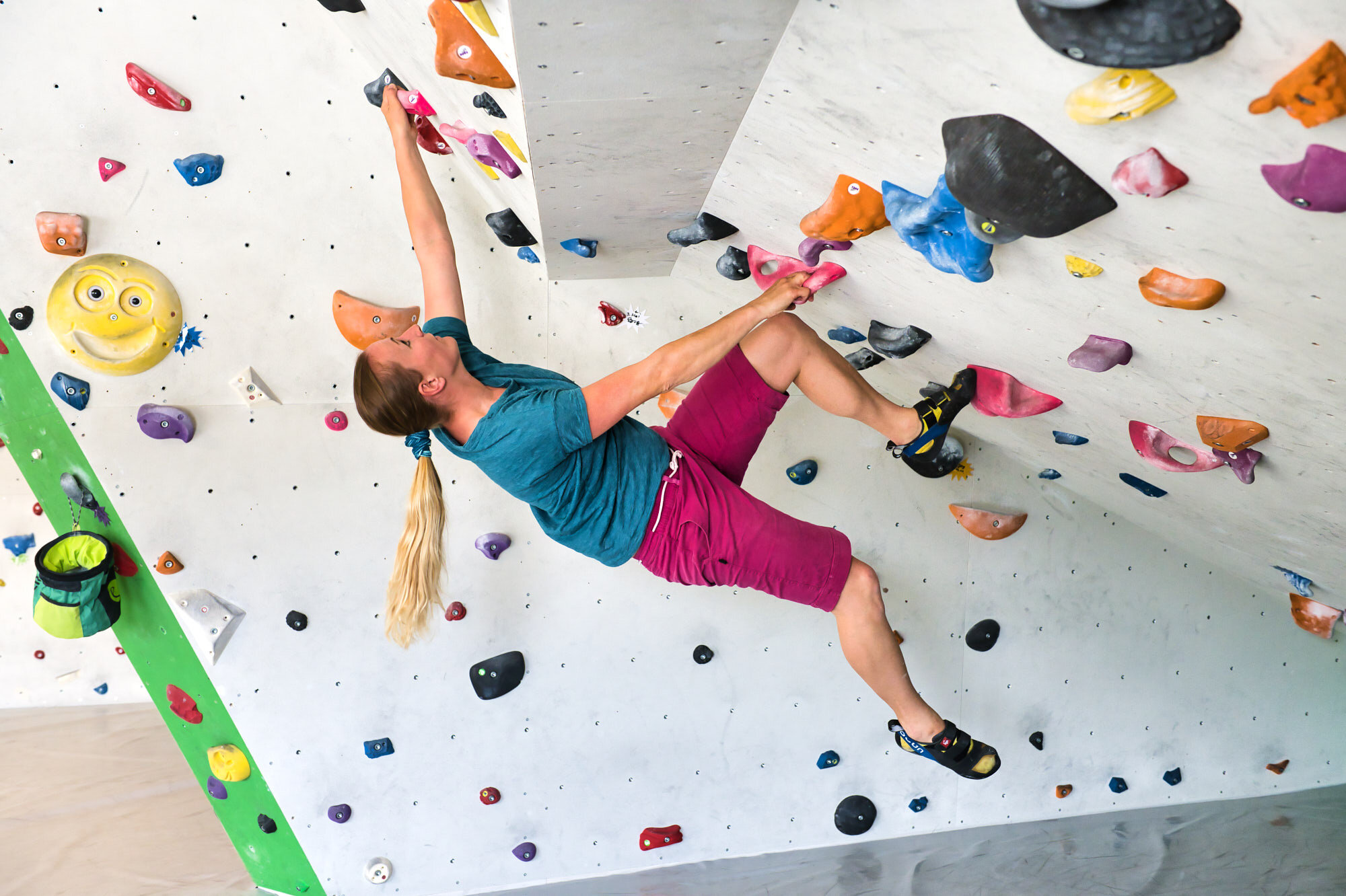
Kletter- und Bouldertreff Tannheim
2.6 km away, in Tannheim
An indoor climbing and bouldering facility in Tannheim, a weatherproof alternative to the limestone crags of the Tannheim range.
Großer Spielplatz Tannheim
2.7 km away, in Tannheim
The large central playground of Tannheim, with climbing and play equipment for children next to the village's guest facilities.
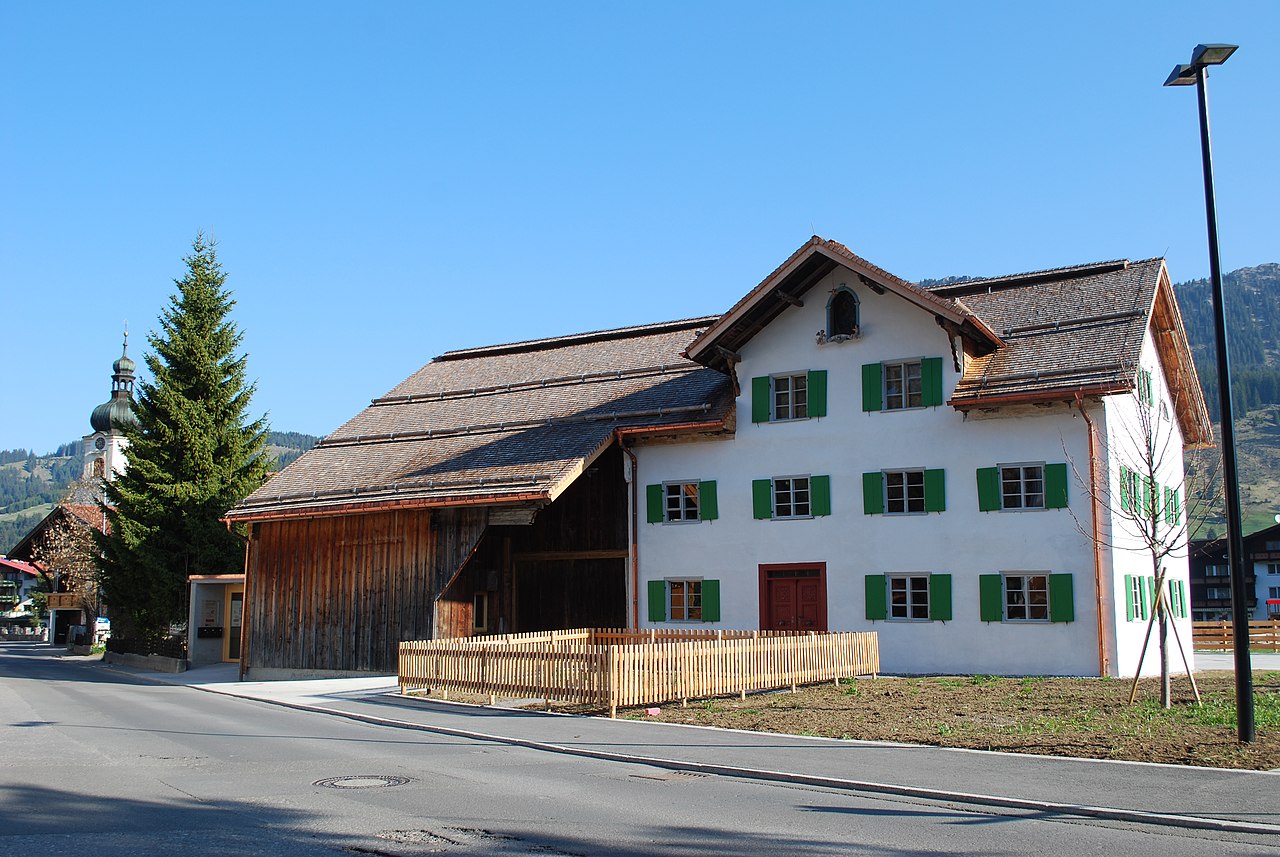
Felixé Mina’s Haus in Tannheim
3 km away, in Tannheim
A preserved old farmhouse in Tannheim kept as a museum, showing how farming families in the Tannheimer Tal once lived and worked.
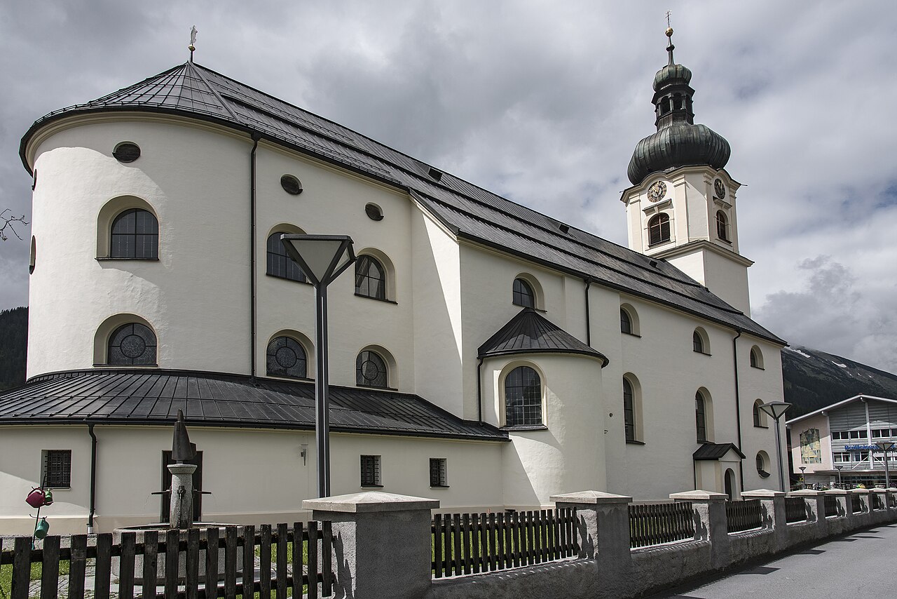
Pfarrkirche St. Nikolaus
3 km away, in Tannheim
The baroque parish church of Tannheim, dedicated to St Nicholas and large enough to be known locally as the cathedral of the valley.
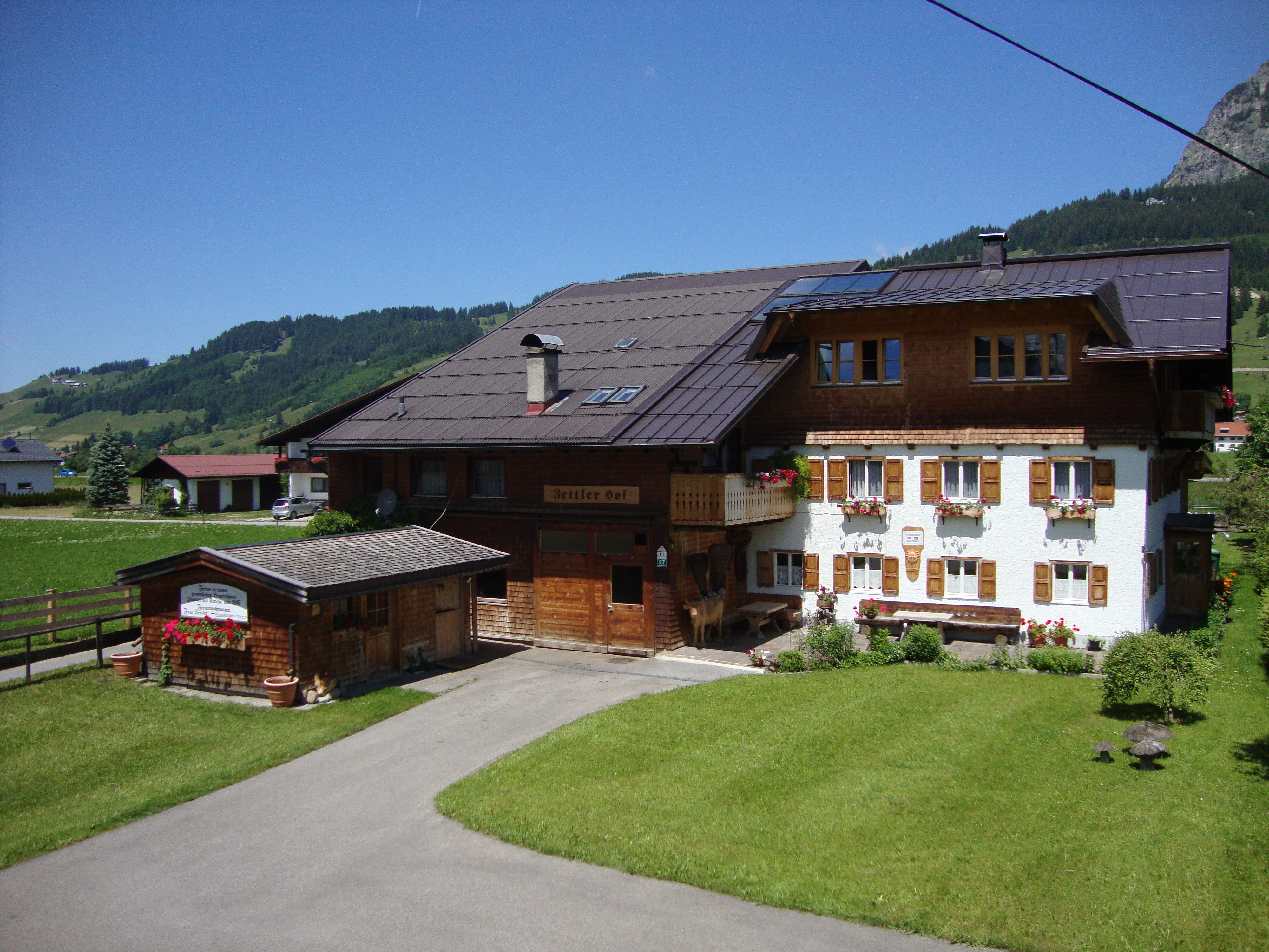
Zettlerhof + Fewo Zettler
3.1 km away, in Tannheim
A farmhouse with holiday flats in Tannheim, offering rural self-catering accommodation on the floor of the Tannheimer Tal.
Haus Peintner
3.1 km away, in Tannheim
A guesthouse with holiday flats in Tannheim, simple hut-style lodging close to the centre of the Tannheimer Tal's main village.
Sportplatz St. Leonhard in Tannheim
3.6 km away, in Tannheim
A sports ground and play area at St Leonhard in Tannheim, used for village games and family recreation in the Tannheimer Tal.
Nothing of this kind in Grän.
Routes
50 routes, an even mix of activities · see the rest on tannheimertal.com ↗
Haldensee-Runde
Flat lakeside loop around the Haldensee past bathing spots and shoreline cafés, an easy round for families or an evening leg-stretch.
- 4.3 km
- Distance
- 59 m
- Ascent
- 1 h 9 min
- Duration
- 46
- Check-ins
Aggenstein Variante 1
Direct ascent of the Aggenstein from Grän via the Bad Kissinger Hütte and the Bayern-Tirol-Sattel; a short secured passage guards the rocky border summit.
- 9.7 km
- Distance
- 891 m
- Ascent
- 5 h 35 min
- Duration
- 157
- Check-ins
Aggenstein Variante 2
Longer loop on the Aggenstein above Grän via the Bad Kissinger Hütte and the Bayern-Tirol-Sattel, with the Füssener Jöchle lift easing the start.
- 15.3 km
- Distance
- 1 216 m
- Ascent
- 7 h 51 min
- Duration
- 280
- Check-ins
Adlerhorstrunde
A rolling circuit around the Haldensee, climbing to the Adlerhorst at 1,317 m and crossing the watershed between the Vils and the Lech.
- 13.6 km
- Distance
- 399 m
- Ascent
- 1 h 35 min
- Duration
- 56
- Check-ins
Gravelbike Tour 3.1 - Talumrundung Tannheimer Tal
A forest-road circuit of the Tannheimer Tal from Schattwald, passing the Haldensee shore and Tauscher's Alm before the return through Tannheim.
- 53.7 km
- Distance
- 1 675 m
- Ascent
- 6 h 21 min
- Duration
- 119
- Check-ins
2026_RAD-MARATHON_103 km
The long course of a road marathon out of the Tannheimer Tal, crossing the Oberjoch pass and the Wertach-Iller watershed on the German side.
- 103.4 km
- Distance
- 1 489 m
- Ascent
- 10 h 34 min
- Duration
- 203
- Check-ins
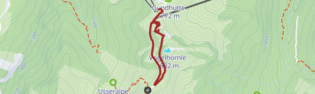
9erlebnisweg
Family discovery trail around the Neunerkopf summit area above the Tannheimer Tal, a short loop taking in the Vogelhörnle viewpoint.
- 2.0 km
- Distance
- 92 m
- Ascent
- 42 min
- Duration
- 37
- Check-ins
Drei-Seen-Tour (mit dem Tiroler Bergwege-Gütesiegel ausgezeichnet)
Certified tour past three mountain lakes - Vilsalpsee, Traualpsee and the Lache at the Landsberger Hütte - with a lift-assisted start from Tannheim.
- 14.6 km
- Distance
- 389 m
- Ascent
- 4 h 23 min
- Duration
- 141
- Check-ins
Zur Bad Kissinger Hütte über den Gräner Höhenweg
Balcony route from Grän climbing high along the valley flank to the hut beneath the Aggenstein; the Füssener Jöchle lift offers a shortcut for the return.
- 12.8 km
- Distance
- 1 142 m
- Ascent
- 7 h 11 min
- Duration
- 273
- Check-ins
Almentour
A steep haul from the Tannheimer valley to the Gappenfeldalpe and the two notches above it, the Strindenscharte and the Gappenfeldscharte.
- 8.6 km
- Distance
- 809 m
- Ascent
- 1 h 55 min
- Duration
- 53
- Check-ins
Talumrundung
A full circuit of the Tannheimer Tal on forest and alm roads, past the Haldensee campsites and the Tannheimer Hütte valley station.
- 53.1 km
- Distance
- 1 699 m
- Ascent
- 6 h 19 min
- Duration
- 105
- Check-ins
Oberjochrunde
A long road circuit from Vils over the Oberjochpass at 1,150 m, crossing the Wertach-Iller watershed and passing the Wiedhag-Alpe.
- 82.7 km
- Distance
- 1 101 m
- Ascent
- 8 h 22 min
- Duration
- 194
- Check-ins
Winterwandern auf der Höh´
Short winter walk on the heights around the Neunerkopf and Vogelhörnle, with wide views across the snowbound Tannheimer Tal.
- 2.2 km
- Distance
- 108 m
- Ascent
- 48 min
- Duration
- 37
- Check-ins
Zum "Kuckst Du" - Sonnenpanoramahut in Grän
Steep, short haul from Grän to the 'Kuckst Du' panorama hut near the Füssener Jöchle, packing almost 700 m of ascent into under 3 km.
- 3.0 km
- Distance
- 672 m
- Ascent
- 3 h 42 min
- Duration
- 124
- Check-ins
Füssener Hütte - Otto Mayr Hütte
Hut-to-hut route from the Füssener Jöchle over the Reintaljöchl to the Otto-Mayr-Hütte, crossing the quiet karst hollows of the Tannheim range.
- 11.1 km
- Distance
- 1 001 m
- Ascent
- 6 h 17 min
- Duration
- 184
- Check-ins
Talumrundung Tannheim (8016)
A waymarked round of the valley on gravel and alm roads, topping the Älbalas Köpfla and passing Schattwald and the Haldensee shore.
- 51.4 km
- Distance
- 1 841 m
- Ascent
- 6 h 18 min
- Duration
- 90
- Check-ins
2026_RAD-MARATHON_66 km
The shorter of the two marathon courses out of the Tannheimer Tal, again over the Oberjoch pass and past the Moorhütte and the Wiedhag-Alpe.
- 65.9 km
- Distance
- 1 087 m
- Ascent
- 6 h 52 min
- Duration
- 186
- Check-ins
Zu der Edenbachalm in Haldensee
Gentle walk from the Haldensee shore to the Edenbachalpe, a small pasture hut above the lake, passing Tauscher's Alm along the way.
- 6.5 km
- Distance
- 288 m
- Ascent
- 2 h 15 min
- Duration
- 37
- Check-ins
Gessenwangalm - Füssener Jöchle - Sonnenalm
Loop above Grän climbing past the Gessewang-Alpe to the Füssener Jöchle and the Sonnenalm, joining quiet alm tracks with the lift-station terraces.
- 8.7 km
- Distance
- 701 m
- Ascent
- 4 h 30 min
- Duration
- 122
- Check-ins
2026 SEEN-LAUF Tannheimer Tal - 6 Hütten-TRAIL (L)
Long course of the Tannheim valley lake run, stringing six huts around the Haldensee and the Gimpel flank; runnable paths with sustained climbing.
- 25.2 km
- Distance
- 1 602 m
- Ascent
- 10 h 56 min
- Duration
- 172
- Check-ins
Gravelbike Tour 3.2 - Enge/Vilstal Runde
A gravel round out of the Tannheimer Tal into the Vils valley, past the Dorfer Weiher and the old customs house near the border.
- 34.1 km
- Distance
- 575 m
- Ascent
- 3 h 34 min
- Duration
- 65
- Check-ins
 Forellenteich 930 m
 Fallmühle 935 m
- Restaurant Auszeit 1 080 m
- Werkstatt 930 m
- Dorfer Weiher 865 m
- Altes Zollhaus 1 114 m
- +6
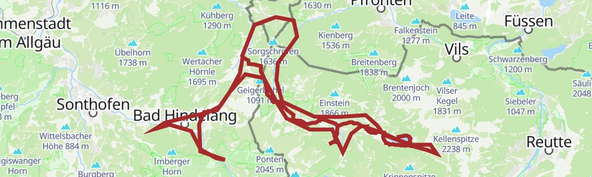
GrenzenLoser Radspaß Bad Hindelang Tannheimer Tal
A long day on the road between the Tannheimer Tal and Bad Hindelang, crossing the border at Oberjoch and the Wertach/Iller watershed.
- 116.5 km
- Distance
- 2 351 m
- Ascent
- 12 h 33 min
- Duration
- 181
- Check-ins
Wiesenrundweg - große Runde
Flat meadow loop at Grän-Haldensee crossing the Vils-Steinacher Achen watershed, an easy round with open views of the Tannheim peaks.
- 4.6 km
- Distance
- 57 m
- Ascent
- 1 h 13 min
- Duration
- 16
- Check-ins
Von Haldensee über das Neunerköpfle nach Tannheim
Crossing from Haldensee over the Neunerköpfle to Tannheim past the Gundhütte and Strindenalpe pastures; an oversized summit book crowns the top.
- 10.6 km
- Distance
- 770 m
- Ascent
- 5 h 4 min
- Duration
- 105
- Check-ins
Gräner Höhenweg Rundwanderung (mit dem Tiroler Bergwege-Gütesiegel ausgezeichnet)
Circuit on Grän's certified mountain paths, following the high route past the Bad Kissinger Hütte and Sebenalpe along the Aggenstein flank.
- 12.8 km
- Distance
- 1 030 m
- Ascent
- 6 h 38 min
- Duration
- 171
- Check-ins
Vilstalrunde
A circuit of the Vils valley past the Dorfer Weiher and the old customs house on the Bavarian border.
- 34.6 km
- Distance
- 544 m
- Ascent
- 3 h 35 min
- Duration
- 65
- Check-ins
- Forellenteich 930 m
- Fallmühle 935 m
- Restaurant Auszeit 1 080 m
- Werkstatt 930 m
- Dorfer Weiher 865 m
- Altes Zollhaus 1 114 m
- +6
Engetalrunde
A circuit from the Tannheimer Tal through the Engetal and over the Oberjoch pass.
- 53.5 km
- Distance
- 733 m
- Ascent
- 5 h 26 min
- Duration
- 171
- Check-ins
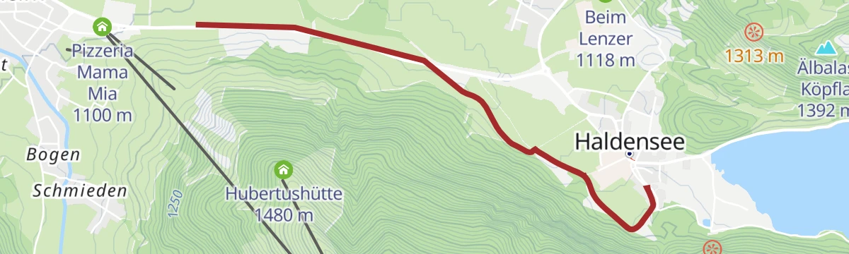
Haldensee - Haller
Short lakeside link between Haldensee village and Haller on the shore path, passing the Herzerl am See photo spot.
- 1.9 km
- Distance
- 44 m
- Ascent
- 34 min
- Duration
- 14
- Check-ins
2026 SEEN-LAUF Tannheimer Tal - 3 Hütten-Trail (S)
Short trail-run course of the valley's lake race, climbing over the Krinnenalpe and Gräner Ödenalpe before dropping back to the Haldensee shore.
- 12.9 km
- Distance
- 798 m
- Ascent
- 5 h 29 min
- Duration
- 75
- Check-ins
Sebenalm (1.650 m)
Long round from Grän over the Füssener Jöchle and past the Vilser Alm to the Sebenalpe at 1,650 m on the quiet Vils side of the border ridge.
- 13.7 km
- Distance
- 1 185 m
- Ascent
- 7 h 31 min
- Duration
- 129
- Check-ins
Rottachseerunde
A long road circuit from the Tannheimer Tal over the Oberjoch to the Rottachsee and back.
- 107.4 km
- Distance
- 1 563 m
- Ascent
- 11 h
- Duration
- 155
- Check-ins
Grän-Adlerhorst (nicht geräumt)
Winter route from Grän up to the Adlerhorst viewpoint; the path is not cleared of snow, so expect an untracked climb of about 300 m.
- 4.8 km
- Distance
- 300 m
- Ascent
- 2 h 4 min
- Duration
- 9
- Check-ins
Nesselwängler Edenalpe - Gräner Ödenalpe - Haldensee - Litnis (2.068m)
Varied round above the Haldensee linking the Nesselwängler Edenalpe and Gräner Ödenalpe with the Litnisschrofen, whose 2,068 m top needs sure feet.
- 10.3 km
- Distance
- 690 m
- Ascent
- 4 h 38 min
- Duration
- 72
- Check-ins
Durch´s Birkental
Long circuit through the Birkental behind Nesselwängle, climbing to the Gappenfeld and Strinden scharten before returning along the Haldensee.
- 25.1 km
- Distance
- 1 254 m
- Ascent
- 9 h 11 min
- Duration
- 108
- Check-ins
Bannwaldseerunde
A long road tour from the Lech valley over to Füssen and Hohenschwangau, returning through the Tannheimer Tal past the Haldensee.
- 95.3 km
- Distance
- 1 155 m
- Ascent
- 9 h 32 min
- Duration
- 127
- Check-ins
Winterwanderweg Tannheim nach Haldensee und zurück.
Level winter walking route from Tannheim to the Haldensee and back, an easy out-and-back along the valley floor.
- 4.4 km
- Distance
- 38 m
- Ascent
- 1 h 7 min
- Duration
- 7
- Check-ins
Höhenstrecke
High-level route from the Neunerkopf over the Gappenfeldscharte and Strindenscharte, linking the Gappenfeld and Strinden pastures above the Tannheimer Tal.
- 10.6 km
- Distance
- 584 m
- Ascent
- 4 h 9 min
- Duration
- 66
- Check-ins
Landsberger Hütte (1.805 m) - Rote Spitze (2.130 m) - Steinkarspitze (2.015 m)
Long horseshoe from Tannheim to the Landsberger Hütte, adding the Rote Spitze and Steinkarspitze above the Traualpsee before descending the Strindental.
- 20.9 km
- Distance
- 1 300 m
- Ascent
- 8 h 55 min
- Duration
- 105
- Check-ins
Auf König Ludwigs Spuren
A long road tour from Vils to the castle village of Hohenschwangau and on to Füssen, returning by the Tannheimer Tal below the Breitenberg.
- 81.0 km
- Distance
- 1 452 m
- Ascent
- 8 h 33 min
- Duration
- 117
- Check-ins
Wiesenrundweg - kleine Runde
Short meadow loop from Grän-Haldensee, a flat stroll across the valley pastures that fills an easy hour.
- 2.6 km
- Distance
- 50 m
- Ascent
- 43 min
- Duration
- 6
- Check-ins
2026 SEEN-LAUF Tannheimer Tal - 7 km Nordic Walking
Nordic-walking course of the valley's lake-run event, a 7 km lap around the Haldensee with minimal gradient and constant water views.
- 7.3 km
- Distance
- 100 m
- Ascent
- 1 h 57 min
- Duration
- 61
- Check-ins
2026 SEEN-LAUF Tannheimer Tal - 25 km Lauf
Flat 25 km race lap of the Tannheim valley floor between Haldensee and Tannheim, run mostly beside the Vils with barely 350 m of climbing.
- 24.9 km
- Distance
- 345 m
- Ascent
- 6 h 41 min
- Duration
- 84
- Check-ins
Gravelbike Tour 1.1 - Rund um die Tannheimer Berge
A long gravel circuit right around the Tannheimer Berge, from Hohenschwangau past the Alatsee and back below the Tannheimer Hütte valley station.
- 80.7 km
- Distance
- 1 573 m
- Ascent
- 8 h 38 min
- Duration
- 114
- Check-ins
Vater unser - Runde
Contemplative loop at Grän themed on the Lord's Prayer, an easy round past yoga platforms with views across the Tannheimer Tal.
- 5.7 km
- Distance
- 113 m
- Ascent
- 1 h 36 min
- Duration
- 1
- Check-ins
Edenbachalpe - Obere Strindenalpe - Usseralpe
Alm-to-alm circuit above Tannheim linking the Edenbachalpe, the Obere and Untere Strindenalpe and the Usseralpe, with several working alps for a rest stop along the way.
- 11.1 km
- Distance
- 723 m
- Ascent
- 4 h 54 min
- Duration
- 61
- Check-ins
Von Tannheim zur Sulzspitze
Ridge-and-scharte tour from Tannheim over the Neunerkopf to the Sulzspitze, threading the Strindenscharte and Gappenfeldscharte and passing the Gappenfeldalpe on the return.
- 15.4 km
- Distance
- 1 147 m
- Ascent
- 7 h 31 min
- Duration
- 81
- Check-ins
Seenrunde
A long circuit linking the lakes of the Tannheimer Tal and the Vils valley on quiet valley roads.
- 92.4 km
- Distance
- 1 125 m
- Ascent
- 9 h 15 min
- Duration
- 107
- Check-ins
- Fischerhütte 792 m
- Breitenberg Bistro 844 m
- Forellenteich 930 m
- Touristinformation Tannheim 1 098 m
- Pizzeria Mama Mia 1 100 m
- Dorfer Weiher 865 m
- +12
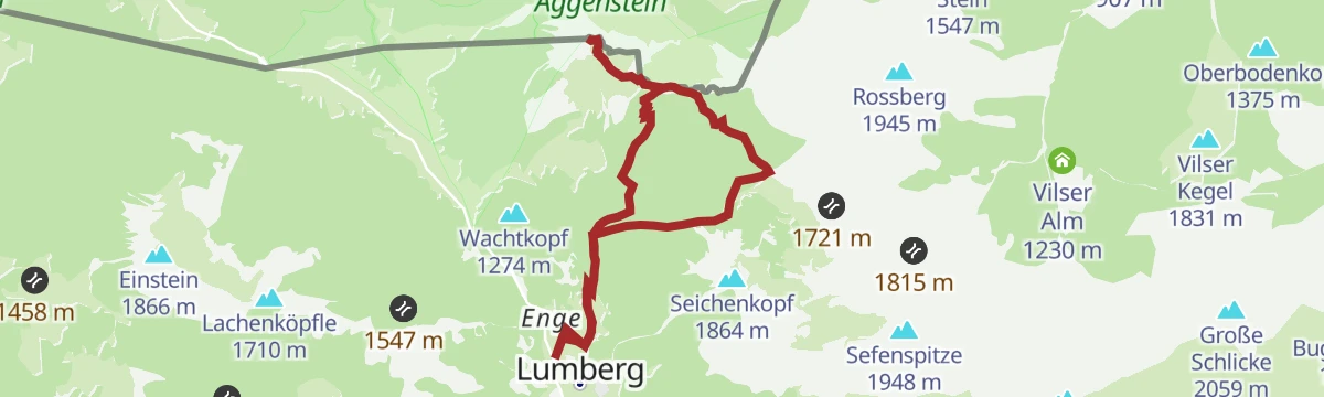
Grän - Lumberg
Short, sharp walk from Grän up the Lumberg knoll, a quick viewpoint climb of about 150 m above the village.
- 1.6 km
- Distance
- 154 m
- Ascent
- 57 min
- Duration
Haller Haldensee Runde
Circuit of the Haldensee from Haller, passing lakeside stops like Tauscher's Alm and the Vils/Lech watershed marker on mostly level paths.
- 7.2 km
- Distance
- 186 m
- Ascent
- 2 h 9 min
- Duration
- 61
- Check-ins
Radweg Tannheimer Tal - Radwandern
Valley cycle route running the length of the Tannheimer Tal beside the Vils, linking Schattwald, Tannheim and the Haldensee on almost level ground.
- 19.1 km
- Distance
- 113 m
- Ascent
- 4 h 45 min
- Duration
- 53
- Check-ins
- Tauscher's Alm 1 136 m
- Natur-Camping-Haldensee 1 126 m
- Restaurant Auszeit 1 080 m
- Fischteich 1 080 m
- Haus Schattwald 1 100 m
- Tagesspeicher Vilsstausee 1 049 m
No routes of this kind in Grän yet.
The region's own picks

Featured route
Haldensee-Runde
Flat lakeside loop around the Haldensee past bathing spots and shoreline cafés, an easy round for families or an evening leg-stretch.
Planning a trip to Grän?
Everything else Tyrol has, in one place


Take Grän with you into the mountains
Every route on this page with 3D terrain, GPX navigation and offline maps — including the valleys with no signal.
Data sources
- Official website: tannheimertal.com ↗
- Routes and highlights: Tannheimer Tal, Lechtal Tourismus, Naturparkregion Reutte
- Published as open data by the tourist boards named above.
- Region summary generated from the board's own material.
