
Curated by Dolomitiprealpi
Gosaldo
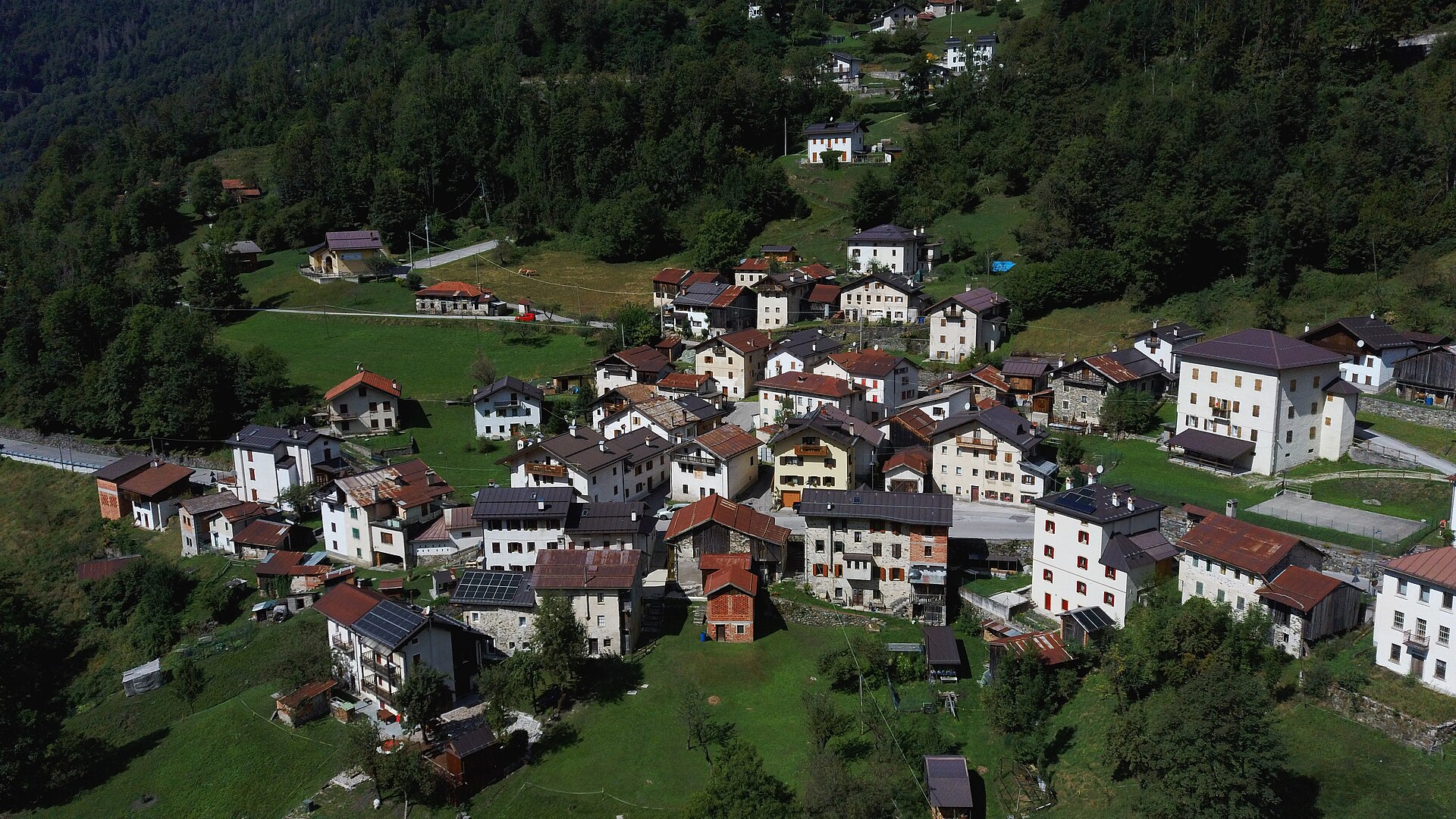
Agordino village in the Mis valley under the Pale di San Lucano, once a mercury-mining parish.
Photo: Syrio · CC BY-SA 4.0 licence
- 8Highlights
- 11Routes
- Featured summit · Col Molinai
Highlights
All 8 from neighbouring places
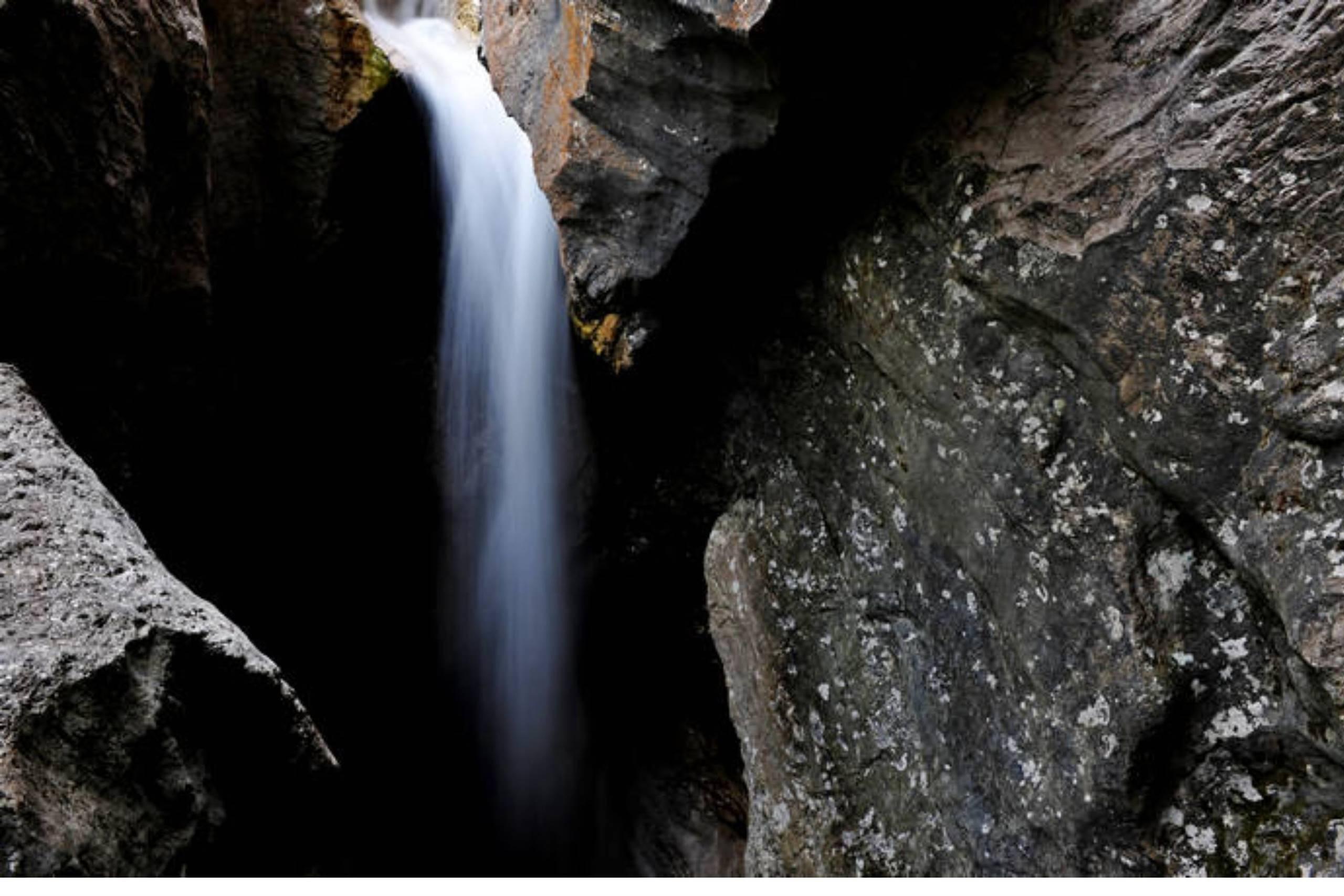
Cascata della Soffia
5.1 km away, in Sospirolo
A waterfall on the Torrente Mis in the Valle del Mis, inside the Dolomiti Bellunesi national park at Sospirolo.
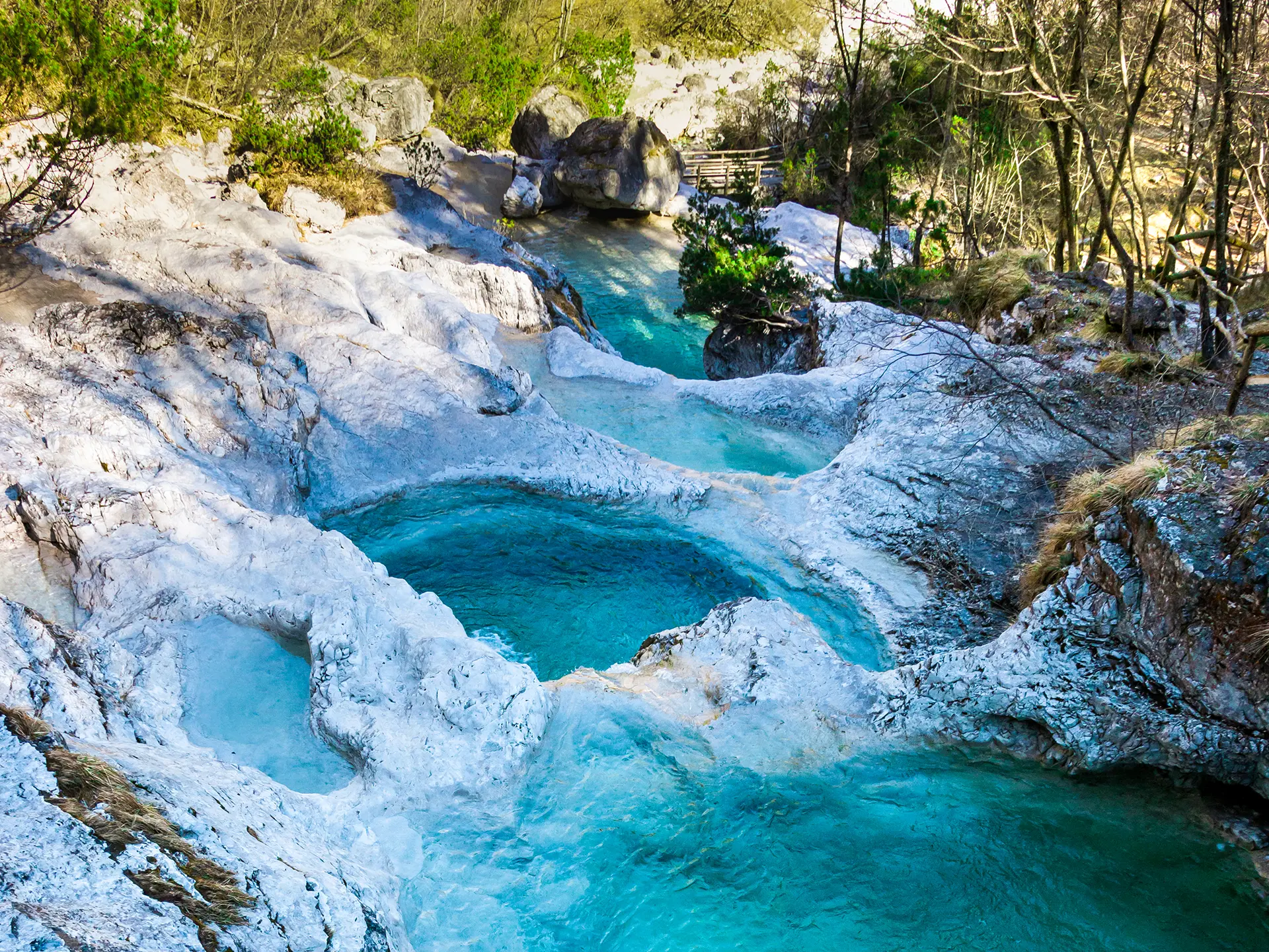
Lago del Mis
7.3 km away, in Sospirolo
A turquoise reservoir in the Val Mis, with the Cadini del Brenton potholes on the stream above.
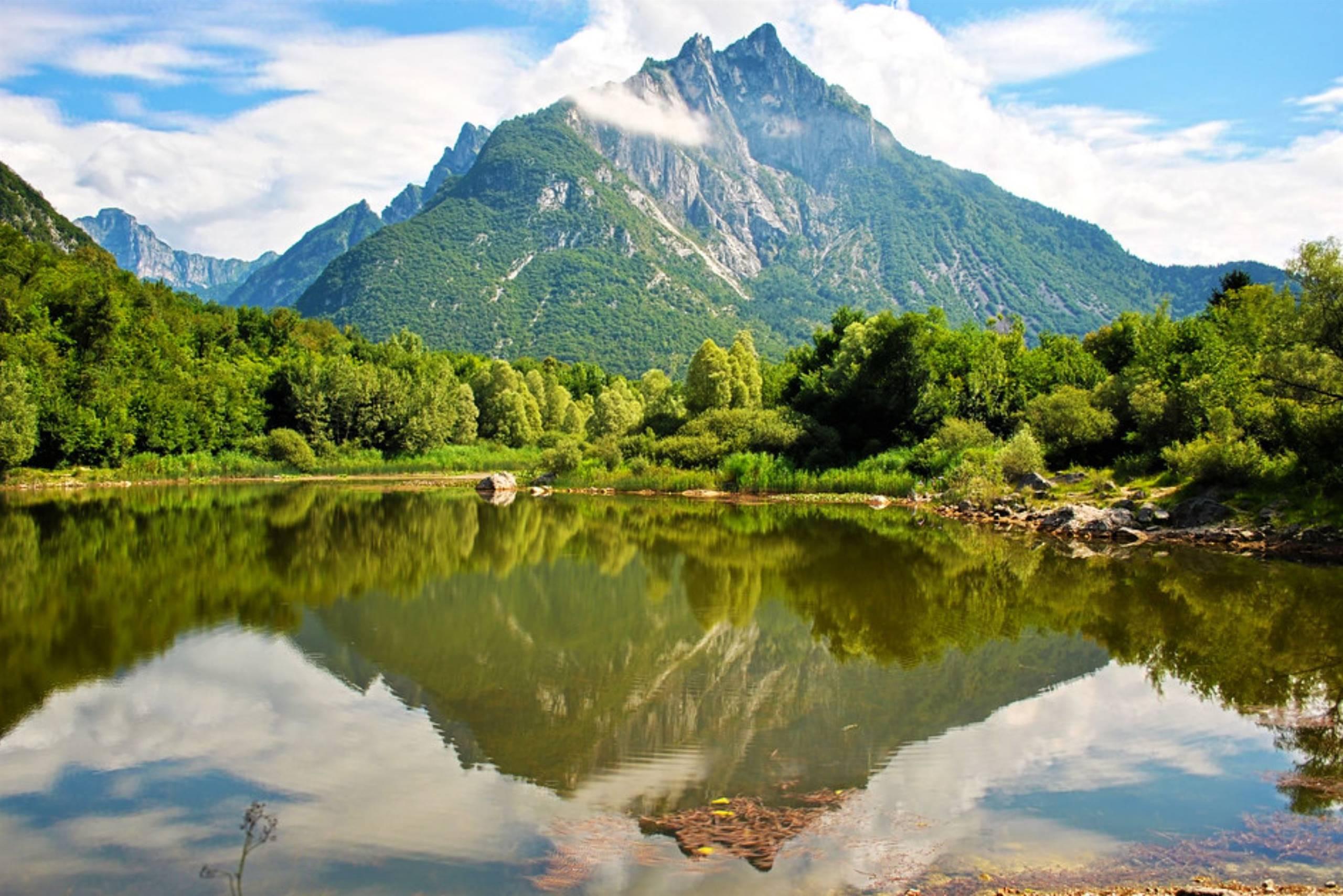
Lago di Vedana
10.5 km away, in Sospirolo
A small lake at the mouth of the Val Cordevole near Sospirolo, below the walls of the Certosa di Vedana.
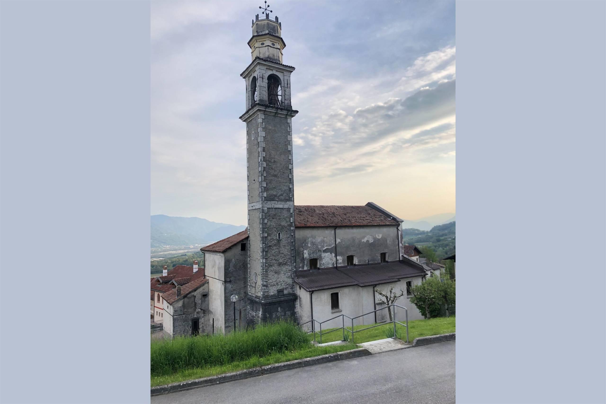
Chiesa di San Gottardo
10.6 km away, in Sospirolo
A church at Sospirolo, in the lower Cordevole valley north-west of Belluno.
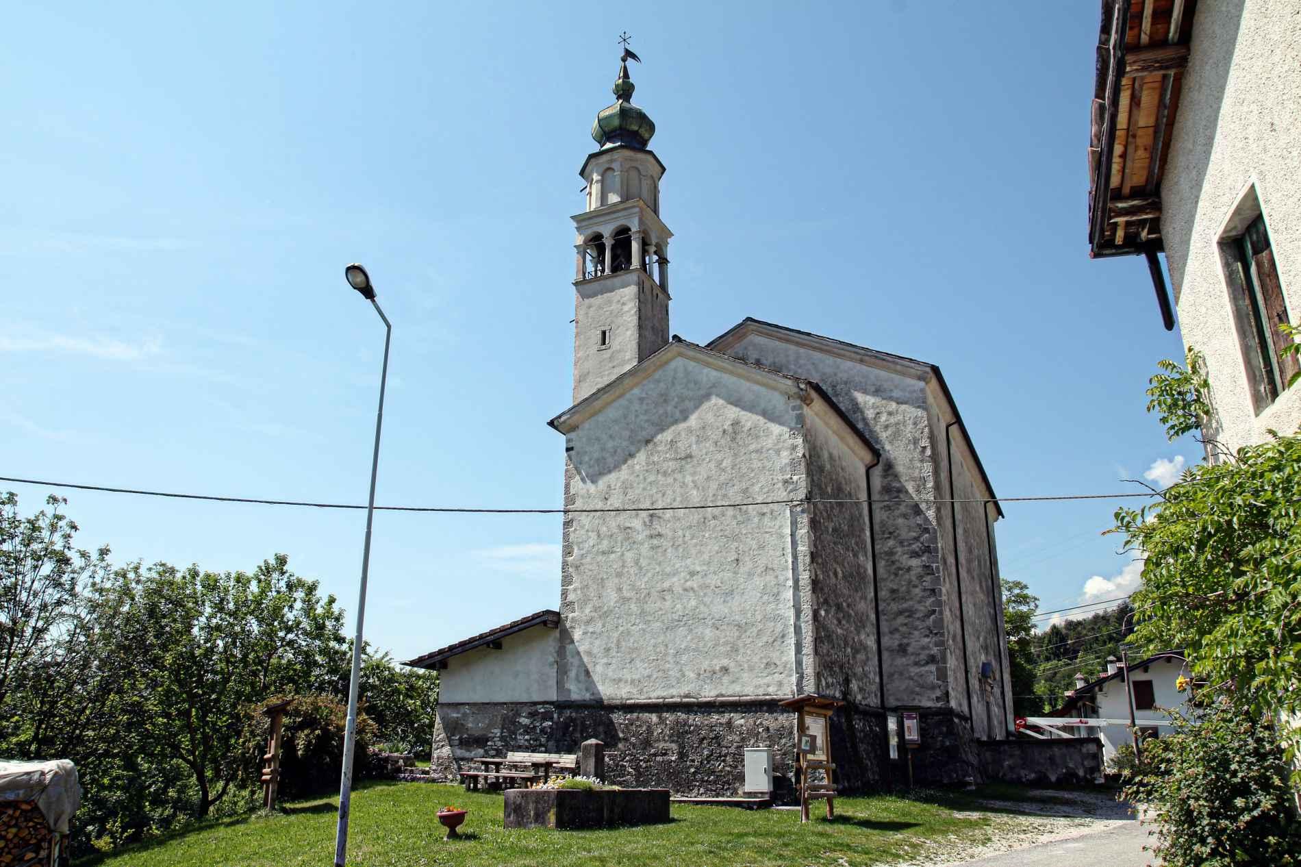
Chiesa di San Gregorio
12 km away, in San Gregorio nelle Alpi
The parish church of San Gregorio nelle Alpi, a village on the sunny slope of the Valbelluna below the Monti del Sole.
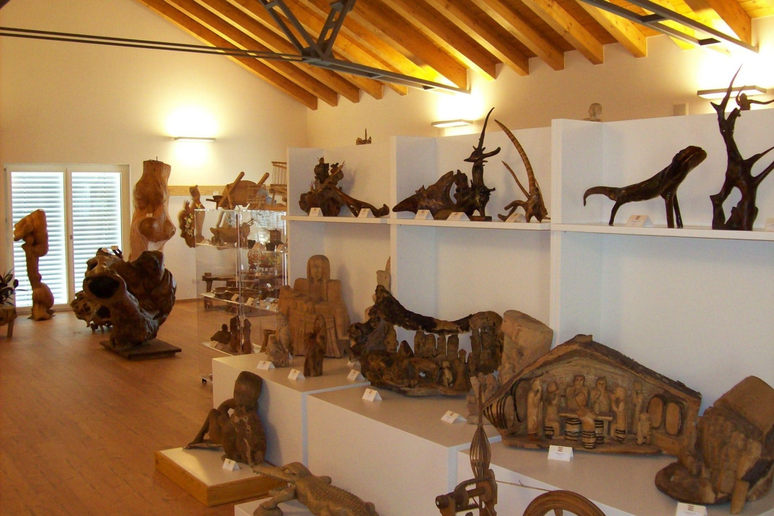
Museo delle zoche, della tarsia e delle stampe antiche
12.1 km away, in San Gregorio nelle Alpi
A village museum at San Gregorio nelle Alpi holding zoche, inlaid woodwork and old printed plates.
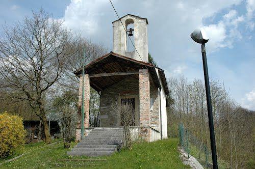
Chiesa San Pietro in Corona
13.5 km away, in Sedico
The church of San Pietro in Corona, in the comune of Sedico, at the foot of the Dolomiti Bellunesi national park.
Chiesa Parrocchiale Santa Maria Annunziata
13.6 km away, in Sedico
The parish church of Sedico, dedicated to the Annunciation, in the Valbelluna where the Cordevole meets the Piave.
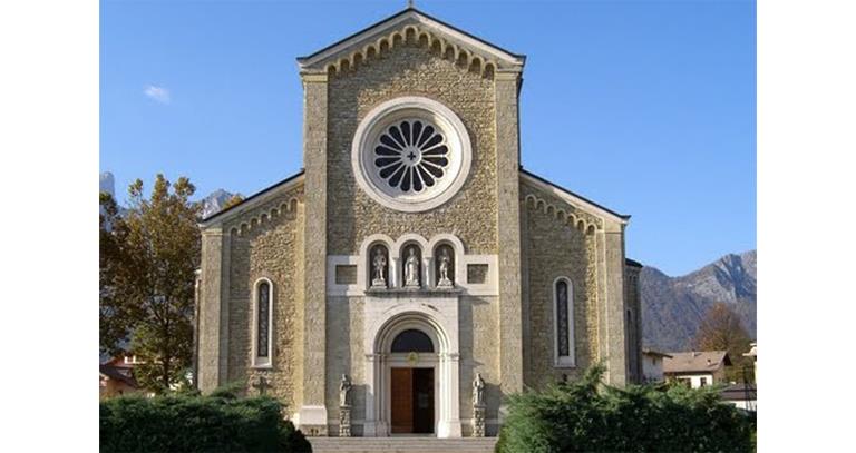
Nothing of this kind in Gosaldo.
Routes
CRODA GRANDA - AGNER WILD TREK - STAGE 2 - Malga Cavallera - Rifugio Scarpa
A mid-height stage from Malga Cavallera by the Bivacco Menegazzi and the Col di Luna pass to the Rifugio Scarpa, facing Monte Agner.
- 6.8 km
- Distance
- 356 m
- Ascent
- 2 h 28 min
- Duration
- 123
- Check-ins
 Rifugio Scarpa - Gurekian all'Agner 1 735 m
- Malga Losch 1 723 m
- Bivacco Menegazzi al Pianlonch 1 737 m
- Rifugio Malga Cavallera 1 685 m
 Passo del Col di Luna 1 718 m
- Casera de Camp 1 751 m
Open route APT San Martino di Castrozza, Primiero e VanoiRegade from Cereda
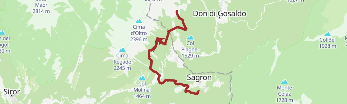
A climb from Passo Cereda past the low hill of Col Molinai onto the equipped Sentiero delle Regàde, reaching the Forcella d'Oltro at just over 2,000 metres.
- 14.5 km
- Distance
- 1 299 m
- Ascent
- 8 h 10 min
- Duration
- 51
- Check-ins
 Col Molinai 1 464 m
- Rifugio Malga Cavallera 1 685 m
- Passo Cereda 1 369 m
- Rifugio Cereda 1 374 m
- Forcella d'Oltro 2 094 m
- Chiesetta di Santa Rita 1 431 m
Open route APT San Martino di Castrozza, Primiero e VanoiRoad Bike Alleghe 3 - Pale di San Martino Loop
A three-climb road circuit from Alleghe, crossing Passo Valles and the Rolle Pass on the ring around the Pale group above Paneveggio.
- 112.0 km
- Distance
- 2 990 m
- Ascent
- 12 h 46 min
- Duration
- 520
- Check-ins
- Rolle Pass 1 971 m
- Passo Valles 2 032 m
- Malga Rolle 1 905 m
- Rifugio Capanna Passo Valles 2 037 m
- Bierstube 977 m
- Hotel Venezia 1 957 m
- +18
Open route Consorzio Operatori Turistici Alleghe - CaprileCRODA GRANDA - AGNER WILD TREK - STAGE 3 - Rifugio Scarpa - Sagron Mis (Chalet Giasenei)
A descending stage under the Agner, dropping from Malga Losch through the wild Val de Zoppei and out on cart roads past Baita di Berto.
- 15.0 km
- Distance
- 616 m
- Ascent
- 5 h 58 min
- Duration
- 71
- Check-ins
Open route APT San Martino di Castrozza, Primiero e VanoiAVDB - Stage 4: Miniere Val Imperina - Malga Erera
A long stage from the old mine workings of Valle Imperina over the Forcella Franche, then across the Mis and up past Casera Vallon to Malga Erera.
- 18.2 km
- Distance
- 1 761 m
- Ascent
- 8 h 44 min
- Duration
- 10
- Check-ins
- Malga Erera 1 709 m
- Forcella Franche 991 m
- Casera Campotorondo 1 767 m
- Casera Vallon 1 314 m
- Forcella Pelse 1 847 m
Open route Dolomiti Bellunesi - The Mountains of VenicePalaronda Road Bike Tour
A long road circuit over the Rolle and Valles passes, alternating hard climbing with fast descents and some technical ground.
- 95.5 km
- Distance
- 3 137 m
- Ascent
- 11 h 26 min
- Duration
- 423
- Check-ins
- Còl de Simón 759 m
- Rolle Pass 1 971 m
- Passo Valles 2 032 m
- Malga Rolle 1 905 m
- Rifugio Capanna Passo Valles 2 037 m
- Hotel Venezia 1 957 m
- +16
Open route APT San Martino di Castrozza, Primiero e VanoiCRODA GRANDA - AGNER WILD TREK - STAGE 1 - Sagron Mis (Chalet Giasenei) - Malga Cavallera (Domadore variant)
An opening stage from Chalet Giasenei past the Chiesetta di Santa Rita, then on forest roads towards Passo Cereda and the refuge at Malga Cavallera.
- 9.1 km
- Distance
- 784 m
- Ascent
- 3 h 55 min
- Duration
- 19
- Check-ins
Open route APT San Martino di Castrozza, Primiero e VanoiPiani Eterni from Sagron
A demanding day from Pante di Sagrón over the Forcella dell'Omo to the high pastures at Malga Erera, coming back by the Forcella Pelse.
- 18.9 km
- Distance
- 1 632 m
- Ascent
- 10 h 20 min
- Duration
- 9
- Check-ins
- Malga Erera 1 709 m
- Casera Campotorondo 1 767 m
- Casera Vallon 1 314 m
- Il Casin 864 m
- Forcella Pelse 1 847 m
- Forcella dell'Omo 1 946 m
Open route APT San Martino di Castrozza, Primiero e VanoiRoad-Bike Alleghe 8 Monti del Sole Route
A long road ride down the Valle del Cordevole to Ponte Mas, then up the Valle del Mis past Lago del Ghirlo before the climb to Gosaldo.
- 102.4 km
- Distance
- 1 682 m
- Ascent
- 10 h 40 min
- Duration
- 152
- Check-ins
- Bierstube 977 m
- Alla Caminada 970 m
- Water inlet for Ghirlo powerplant 971 m
- Pizzeria Al Fornel 934 m
- Ristorante alla Stanga 436 m
 Polane 563 m
- +5
Open route Consorzio Operatori Turistici Alleghe - CaprileTorrenti Sagron - Mis F
An easy valley route following the watercourses of the Sagron and Mis area, close to level for its whole length.
- 8.2 km
- Distance
- 169 m
- Ascent
- 3 h 30 min
- Duration
Open route Trentino FishingConca Tour Hike&Bike
A loop on back roads around the Conca Agordina, linking its villages over the Forcella Aurine and the Forcella Franche.
- 76.0 km
- Distance
- 2 189 m
- Ascent
- 8 h 48 min
- Duration
- 12
- Check-ins
- Forcella Aurine 1 299 m
- Al Rustico Ristorante 776 m
- Agriturismo Busa dei Sbràse 679 m
- Forcella Franche 991 m
Open route Conca Agordina




No routes of this kind in Gosaldo yet.
The region's own picks
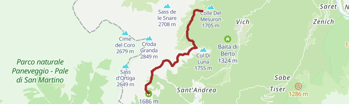
Featured route
CRODA GRANDA - AGNER WILD TREK - STAGE 2 - Malga Cavallera - Rifugio Scarpa
A mid-height stage from Malga Cavallera by the Bivacco Menegazzi and the Col di Luna pass to the Rifugio Scarpa, facing Monte Agner.
Planning a trip to Gosaldo?
Everything else Veneto has, in one place


Take Gosaldo with you into the mountains
Every route on this page with 3D terrain, GPX navigation and offline maps — including the valleys with no signal.
Data sources
- Official website: agordinodolomiti.it ↗
- Routes and highlights: Dolomitiprealpi, APT San Martino di Castrozza, Primiero e Vanoi, Consorzio Operatori Turistici Alleghe - Caprile, Dolomiti Bellunesi - The Mountains of Venice, Trentino Fishing, Conca Agordina
- Published as open data by the tourist boards named above.
- Region summary generated from the board's own material.
