



















Curated by APT Madonna di Campiglio, Pinzolo, Val Rendena
Giustino
Rendena valley village below the Presanella, sharing the Pinzolo lifts and the long walks into the Adamello park.
- 2Highlights
- 53Routes
- Featured summit · Doss del Sabion
Highlights
All 2 from neighbouring places
Baita Valon
12.6 km away, in Comano Terme
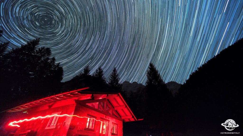
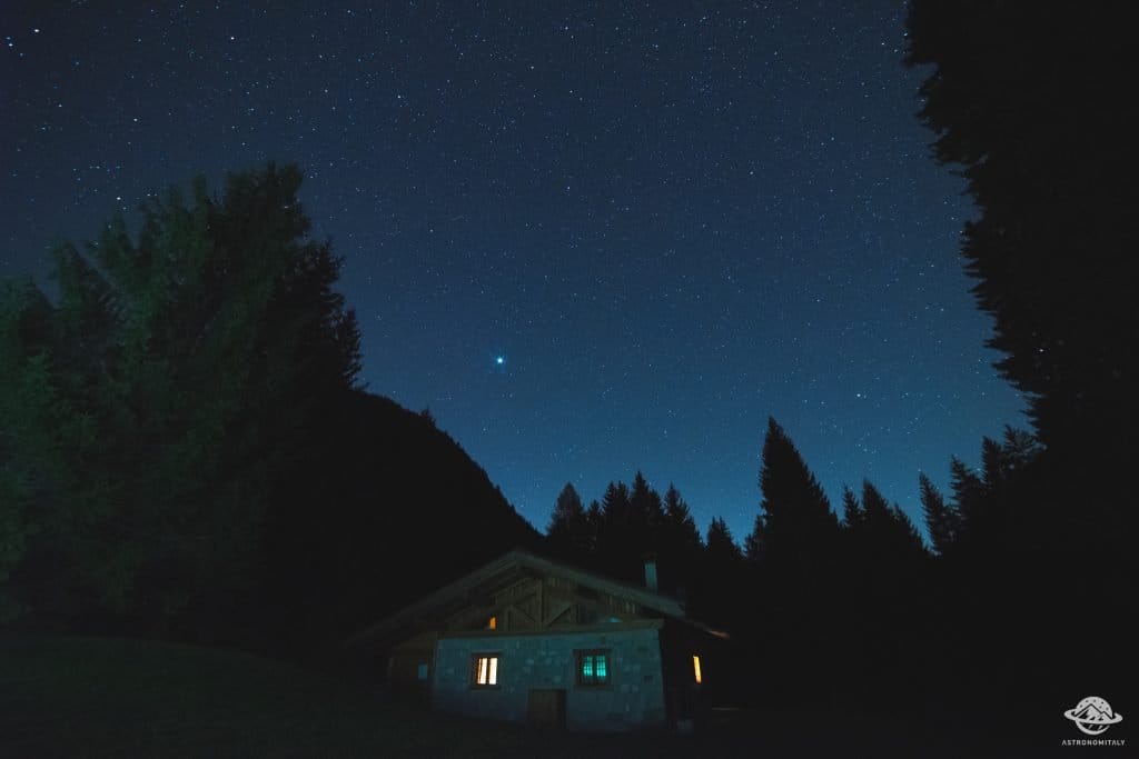
A hut on the Valon meadows above Comano, used for walks and for its dark night skies.
Stargazing a Baita Valon, Trentino
12.6 km away, in Comano Terme
Night-sky watching from the Valon meadows above Comano Terme, away from valley lights.
Nothing of this kind in Giustino.
Routes
50 routes, an even mix of activities · see the rest on campigliodolomiti.it ↗
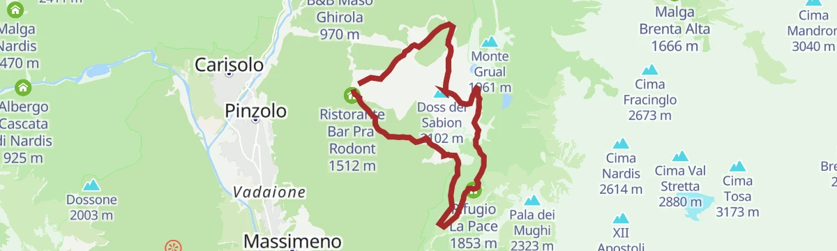
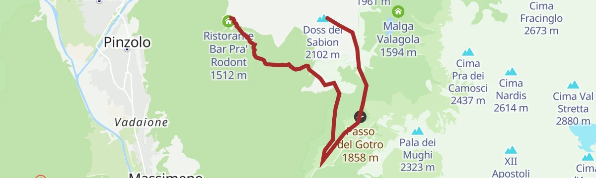
Doss del Sabion - Bregn da l’Ors - Pra Rodont
A traverse from the Doss del Sabion above Pinzolo by Bregn da l'Ors to Pra Rodont.
- 5.2 km
- Distance
- 44 m
- Ascent
- 1 h 54 min
- Duration
- 106
- Check-ins
 Doss del Sabion 2 102 m
 Doss del Sabion 2 103 m
- Ristorante Bar Pra' Rodont 1 512 m
 Passo Bregn de l'Ors 1 836 m
- Malga Bandalors 1 633 m
Open route APT Madonna di Campiglio, Pinzolo, Val RendenaDoss del Sabion Tour
A tour to the Doss del Sabion with the lift to Pra Rodont taking the sting out of it, looking from the Brenta across to the Presanella.
- 11.4 km
- Distance
- 638 m
- Ascent
- 4 h 30 min
- Duration
- 158
- Check-ins
- Doss del Sabion 2 102 m
- Doss del Sabion 2 103 m
- Malga Cioca 1 723 m
- Ristorante Bar Pra' Rodont 1 512 m
- Malga Movlina 1 782 m
- Passo Bregn de l'Ors 1 836 m
- +3
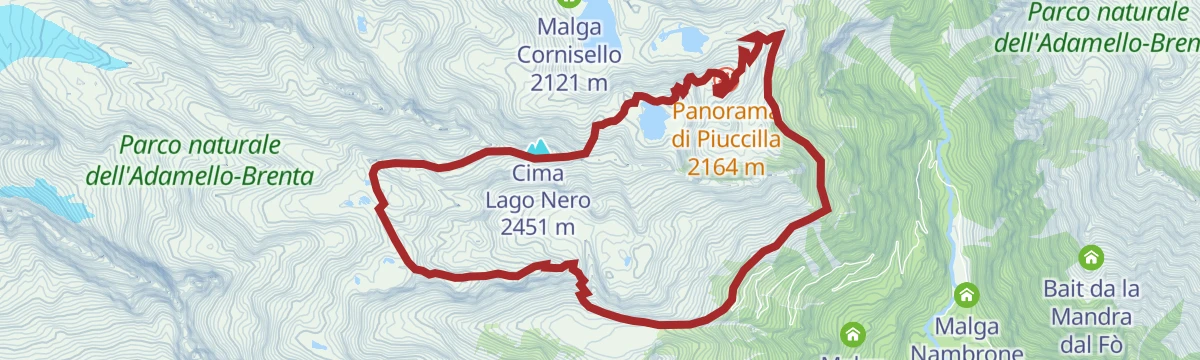
Open route APT Madonna di Campiglio, Pinzolo, Val RendenaTrek ring to Cornisello – Amola
A circuit below the east walls of Cima Cornisello, Monte Nero and the Presanella, past the Cornisello lakes, Lago Nero and the Segantini tarns.
- 13.3 km
- Distance
- 1 085 m
- Ascent
- 6 h 57 min
- Duration
- 122
- Check-ins
- Croz del Sass 2 328 m
- Rifugio Segantini 2 373 m
- Rifugio Cornisello 2 120 m
- Malga Valina d'Amola 2 008 m
- Bocchetta de l'Om 2 353 m
- Vecchia funivia Enel 2 163 m
- +2
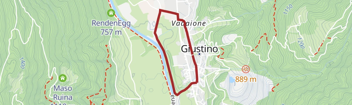
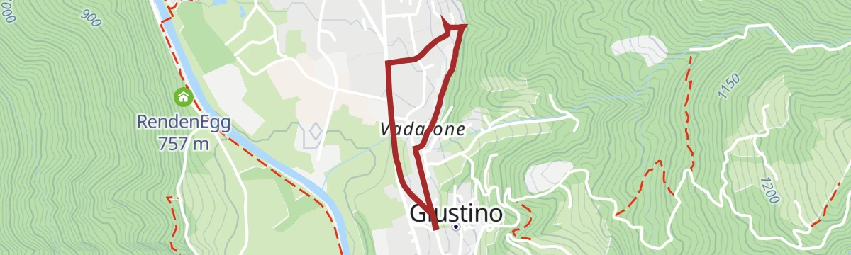
Open route APT Madonna di Campiglio, Pinzolo, Val RendenaCycle Tour
A very short and nearly flat ride around Giustino on the floor of the Val Rendena, below the Brenta Dolomites.
- 2.3 km
- Distance
- 31 m
- Ascent
- 14 min
- Duration
Open route APT Madonna di Campiglio, Pinzolo, Val RendenaRendena route n°983
An easy ride down the Sarca on dirt road from Pinzolo, through Bocenago and Massimeno before turning back up the valley.
- 10.5 km
- Distance
- 171 m
- Ascent
- 1 h 6 min
- Duration
- 12
- Check-ins
Open route APT Madonna di Campiglio, Pinzolo, Val RendenaVillages and waterfalls
A very long road tour from Andalo past the lake at Molveno into the Val Genova, where the waterfalls are, and back over the Sella di Andalo.
- 112.2 km
- Distance
- 2 787 m
- Ascent
- 12 h 35 min
- Duration
- 79
- Check-ins
- Fontanella 845 m
- Val Genova information point 905 m
- Lago Park Hotel 826 m
- Grand Hotel Molveno 838 m
- Sella di Andalo 1 042 m
- APT Dolomiti Paganella 1 021 m
- +4
Open route APT Dolomiti di Brenta e PaganellaDoss del Sabion - Malga Cioca - Pra Rodont
A descent from Doss del Sabion, with its view of the Brenta and the Adamello-Presanella, to Malga Cioca, a converted farm with a café by the Tulot lift.
- 4.9 km
- Distance
- 35 m
- Ascent
- 1 h 50 min
- Duration
- 105
- Check-ins
- Doss del Sabion 2 102 m
- Doss del Sabion 2 103 m
- Malga Cioca 1 723 m
- Ristorante Bar Pra' Rodont 1 512 m
Open route APT Madonna di Campiglio, Pinzolo, Val RendenaDoss del Sabion - Malga Movlina - Pra Rodont
A route from the top of Doss del Sabion along the ridge on winter ski runs and forest roads to the Madonnina chapel, the Gotro pass and Malga Movlina.
- 7.1 km
- Distance
- 80 m
- Ascent
- 2 h 24 min
- Duration
- 141
- Check-ins
- Doss del Sabion 2 102 m
- Doss del Sabion 2 103 m
- Ristorante Bar Pra' Rodont 1 512 m
- Malga Movlina 1 782 m
- Passo Bregn de l'Ors 1 836 m
- Rifugio La Pace 1 853 m
- +2
Open route APT Madonna di Campiglio, Pinzolo, Val RendenaValagola Trail n°975
A long trail route with the Brenta Dolomites on one side and the Adamello-Presanella group on the other, dropping towards Valagola.
- 20.0 km
- Distance
- 87 m
- Ascent
- 6 h 7 min
- Duration
- 122
- Check-ins
- Doss del Sabion 2 102 m
- Doss del Sabion 2 103 m
- Prà della Casa 1 167 m
- Passo Bregn de l'Ors 1 836 m
- Malga Valagola 1 594 m
 Lago di Valagola 1 600 m
- +3
Open route APT Madonna di Campiglio, Pinzolo, Val RendenaMedium Route - Top Dolomites Gran Fondo
The shorter of the granfondo road courses, running from Pinzolo over the Passo del Durone and finishing with the climb to Madonna di Campiglio.
- 83.5 km
- Distance
- 2 519 m
- Ascent
- 9 h 31 min
- Duration
- 45
- Check-ins
- Falesia Fontanella 1 384 m
- La Cantina di Suisse 1 506 m
- Panorama Hotel Fontanella 1 434 m
- Bar Ristorante Passo Durone 995 m
- Passo del Durone 1 010 m
- Chiesetta degli alpini 1 029 m
- +3
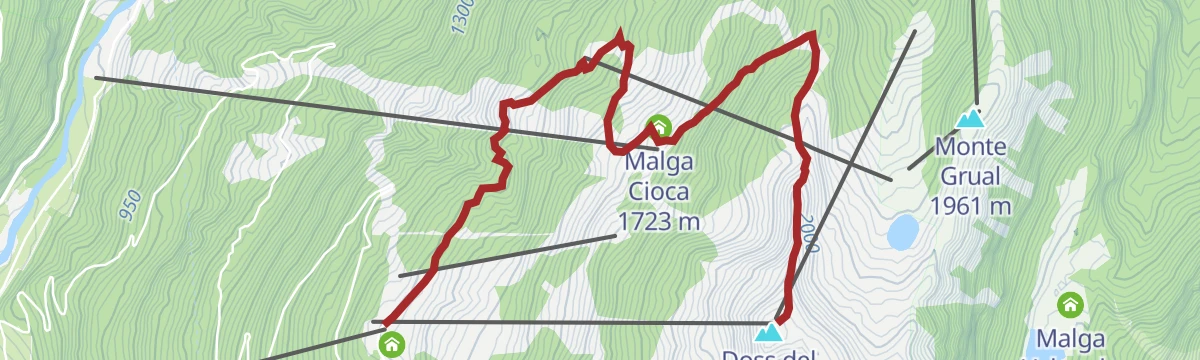
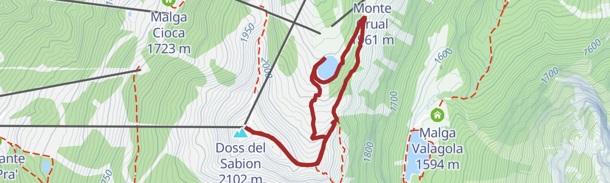
Open route APT Madonna di Campiglio, Pinzolo, Val RendenaDoss del Sabion - Lago Grual
A loop starting and finishing on Doss del Sabion, round the Grual reservoir, with four wooden viewing structures that together form a piste basher.
- 3.7 km
- Distance
- 190 m
- Ascent
- 1 h 23 min
- Duration
- 77
- Check-ins
- Doss del Sabion 2 102 m
- Doss del Sabion 2 103 m
- Bacino Grual 1 918 m
Open route APT Madonna di Campiglio, Pinzolo, Val RendenaRifugio Segantini tour
A climb from the Cornisello lakes in Val Nambrone to the Rifugio Segantini, the base under the granite of the Presanella.
- 9.4 km
- Distance
- 554 m
- Ascent
- 3 h 52 min
- Duration
- 122
- Check-ins
- Croz del Sass 2 328 m
- Rifugio Segantini 2 373 m
- Rifugio Cornisello 2 120 m
- Malga Valina d'Amola 2 008 m
- Bocchetta de l'Om 2 353 m
- Vecchia funivia Enel 2 163 m
- +1
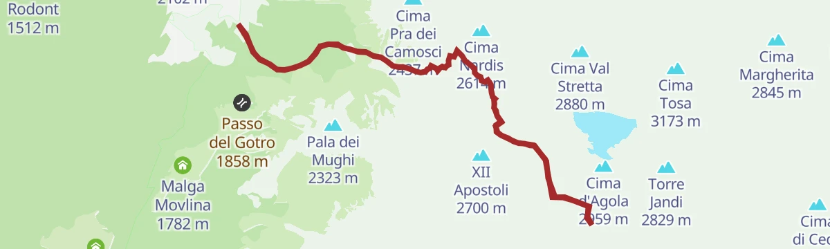
Open route APT Madonna di Campiglio, Pinzolo, Val Rendena“Fratelli Garbari” Hut at the XII Apostles
A long climb from the Val Rendena side to the Fratelli Garbari hut at the XII Apostoli, in the glacial basin under the western Brenta.
- 13.4 km
- Distance
- 1 242 m
- Ascent
- 7 h 46 min
- Duration
- 121
- Check-ins
- Doss del Sabion 2 102 m
- Doss del Sabion 2 103 m
- Rifugio XII Apostoli 2 489 m
- Passo Bregn de l'Ors 1 836 m
Open route APT Madonna di Campiglio, Pinzolo, Val RendenaDaone Pass Tour
A dirt-road climb from Pinzolo along the eastern flank of the valley to Passo Daone, returning through Amolo and Provaiolo to the cycle path.
- 46.7 km
- Distance
- 1 431 m
- Ascent
- 5 h 30 min
- Duration
- 19
- Check-ins
- Passo Daone 1 290 m
- Ristorante "Capanna Durmont" 1 292 m
- RendenEgg 757 m
- Villa Santi 1 170 m
- Maso Colombin 1 220 m
- Ristorante Pizzeria Le Fontane 595 m
- +2
Open route APT Madonna di Campiglio, Pinzolo, Val RendenaFrom Malga Cioca to Madonnina area tour
A level high traverse from Malga Cioca, at the top of the Tulot gondola, across to the Madonnina, facing the Adamello-Presanella and Val Rendena.
- 3.0 km
- Distance
- 138 m
- Ascent
- 56 min
- Duration
- 29
- Check-ins
Open route APT Madonna di Campiglio, Pinzolo, Val RendenaValina d'Amola - Rifugio Segantini - Cornisello
A route up the Val d'Amola to the Segantini hut and across to the Cornisello lakes below the Presanella.
- 9.4 km
- Distance
- 560 m
- Ascent
- 3 h 52 min
- Duration
- 122
- Check-ins
- Croz del Sass 2 328 m
- Rifugio Segantini 2 373 m
- Rifugio Cornisello 2 120 m
- Malga Valina d'Amola 2 008 m
- Bocchetta de l'Om 2 353 m
- Vecchia funivia Enel 2 163 m
- +1
Open route APT Madonna di Campiglio, Pinzolo, Val RendenaMalga Movlina Trail n°974
A long, little-used route towards Malga Movlina, held between the Brenta massif and the Adamello-Presanella group.
- 20.3 km
- Distance
- 235 m
- Ascent
- 6 h 32 min
- Duration
- 120
- Check-ins
- Doss del Sabion 2 102 m
- Doss del Sabion 2 103 m
- Malga Movlina 1 782 m
- Passo Bregn de l'Ors 1 836 m
- Rifugio La Pace 1 853 m
- Passo del Gotro 1 858 m
- +1
Open route APT Madonna di Campiglio, Pinzolo, Val RendenaShort Route - Top Dolomites Gran Fondo
The short course of a road race that starts in Pinzolo and finishes up at Madonna di Campiglio, under the Brenta Dolomites.
- 29.0 km
- Distance
- 1 038 m
- Ascent
- 3 h 18 min
- Duration
- 14
- Check-ins
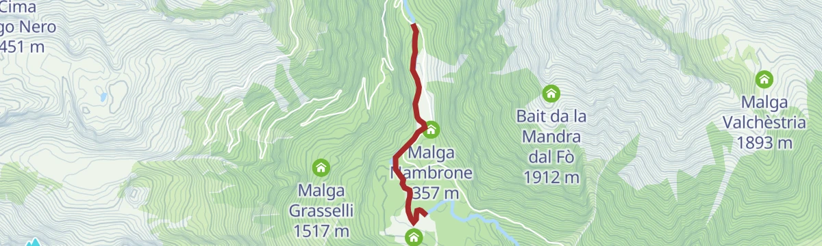
Open route APT Madonna di Campiglio, Pinzolo, Val RendenaSarca di Nambrone PT1
A flat riverside stretch on the Sarca di Nambrone in Val Nambrone above Pinzolo.
- 1.6 km
- Distance
- 0 m
- Ascent
- 24 min
- Duration
- 28
- Check-ins
Open route Trentino FishingDoss del Sabion - Malga Grual - Pra Rodont
A descent from Doss del Sabion past Malga Grual, closed to visitors, and on to Malga Cioca at the foot of the Tulot gondola.
- 7.6 km
- Distance
- 0 m
- Ascent
- 2 h 20 min
- Duration
- 110
- Check-ins
- Doss del Sabion 2 102 m
- Doss del Sabion 2 103 m
- Malga Cioca 1 723 m
- Ristorante Bar Pra' Rodont 1 512 m
- Malga Grual 1 790 m
Open route APT Madonna di Campiglio, Pinzolo, Val RendenaDoss del Sabion Tour n°968
A ridge tour based on Doss del Sabion, with Madonna di Campiglio north, the Brenta east, the Val Rendena south and the Presanella west.
- 16.1 km
- Distance
- 22 m
- Ascent
- 5 h 2 min
- Duration
- 110
- Check-ins
- Doss del Sabion 2 102 m
- Doss del Sabion 2 103 m
- Malga Cioca 1 723 m
- Ristorante Bar Pra' Rodont 1 512 m
- Malga Grual 1 790 m
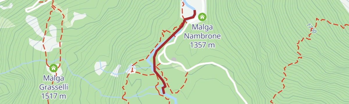
Open route APT Madonna di Campiglio, Pinzolo, Val RendenaThe "Amolacqua" trail in Val Nambrone, across bridges and crystal-clear waters
A short walk on boardwalks through the undergrowth of the Val Nambrone to the Amola waterfall, beside the turquoise pools of the Sarca.
- 1.3 km
- Distance
- 17 m
- Ascent
- 21 min
- Duration
- 20
- Check-ins
Open route APT Madonna di Campiglio, Pinzolo, Val RendenaDoss del Sabion – Malga Bandalors - Prarodont
A mostly downhill route from Doss del Sabion, steep and broken at the start, past the Bandalors dairy where the Rendena cows are milked.
- 10.3 km
- Distance
- 638 m
- Ascent
- 4 h 25 min
- Duration
- 106
- Check-ins
- Doss del Sabion 2 102 m
- Doss del Sabion 2 103 m
- Ristorante Bar Pra' Rodont 1 512 m
- Passo Bregn de l'Ors 1 836 m
- Malga Bandalors 1 633 m
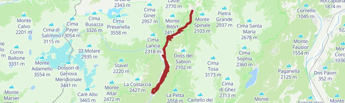
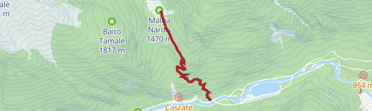
Open route APT Madonna di Campiglio, Pinzolo, Val RendenaFrom Giustino to Rifugio XII Apostoli
A climb on SAT 307 from Giustino on old pasture paths, then over the Passo Bandalors to the hut on its rock spur above the Val di Nardis.
- 11.6 km
- Distance
- 1 787 m
- Ascent
- 7 h 3 min
- Duration
- 54
- Check-ins
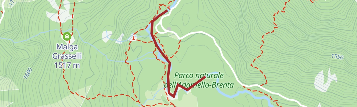
Open route APT Madonna di Campiglio, Pinzolo, Val RendenaSarca di Nambrone - Turistica A - PP12
A very short stretch beside the Sarca di Nambrone on the valley floor above Giustino.
- 500 m
- Distance
- 12 m
- Ascent
- 8 min
- Duration
- 19
- Check-ins
Open route Trentino FishingCavradoss trail n°969
A long descent off Doss del Sabion, which looks to Madonna di Campiglio, the Brenta, the Val Rendena and the Adamello-Presanella.
- 13.7 km
- Distance
- 77 m
- Ascent
- 4 h 36 min
- Duration
- 85
- Check-ins
- Doss del Sabion 2 102 m
- Doss del Sabion 2 103 m
- Malga Grual 1 790 m
- Casa del Parco PNAB 1 130 m
- Maso Pin 1 162 m
Open route APT Madonna di Campiglio, Pinzolo, Val RendenaCima Pratofiorito
An ascent of Cima Pratofiorito, which stands east of the XII Apostoli basin and can be reached without real climbing, though the upper part suits experienced hikers only.
- 12.6 km
- Distance
- 1 087 m
- Ascent
- 6 h 53 min
- Duration
- 48
- Check-ins
Open route APT Madonna di Campiglio, Pinzolo, Val RendenaFiume Sarca di Val Genova NK4
A very short flat stretch beside the Sarca where it leaves the Val Genova at Caderzone Terme.
- 594 m
- Distance
- 0 m
- Ascent
- 8 min
- Duration
- 17
- Check-ins
From Doss del Sabion to Valagola Lake
A descent from Doss del Sabion, reached by lift, through alpine pasture to Lago di Valagola, set among forest between Cima Nardis and Fracinglo.
- 5.7 km
- Distance
- 484 m
- Ascent
- 3 h 5 min
- Duration
- 85
- Check-ins
Open route APT Madonna di Campiglio, Pinzolo, Val RendenaCornisello lake tour n°979
A long route from Sant'Antonio di Mavignola into Val Nambrone and up to the Cornisello lakes, on a road laid in the 1950s for a dam that was never built.
- 28.2 km
- Distance
- 1 316 m
- Ascent
- 9 h 52 min
- Duration
- 46
- Check-ins
- Lago di Cornisello Inferiore 2 087 m
- Malga Cornisello 2 121 m
- Rifugio Nambrone 1 350 m
- Malga Nambrone 1 357 m
- Masuncla 1 163 m
Open route APT Madonna di Campiglio, Pinzolo, Val RendenaSarca di Nambrone NK5
A very short flat stretch along the Sarca di Nambrone in the valley above Giustino.
- 810 m
- Distance
- 0 m
- Ascent
- 13 min
- Duration
- 16
- Check-ins
Open route Trentino FishingBrogn da l'Ors Tour n°973
A long descent, demanding in places, facing the Brenta Dolomites and the Adamello-Presanella group throughout.
- 11.8 km
- Distance
- 79 m
- Ascent
- 4 h 13 min
- Duration
- 79
- Check-ins
Open route APT Madonna di Campiglio, Pinzolo, Val RendenaCima Scarpacò
A long exploratory route among granite spires and high tarns to Cima Scarpacò, largely unmarked and rarely visited; the summit book dates from 1952.
- 28.0 km
- Distance
- 2 370 m
- Ascent
- 16 h 17 min
- Duration
- 33
- Check-ins
- Cima Scarpacò 3 255 m
- Corno de la Nòna 2 352 m
- Anticima Est di Scarpacò 3 234 m
- Lago di Cornisello Inferiore 2 087 m
- Malga Cornisello 2 121 m
- Passo delle Marmotte 2 889 m
- +11
Open route APT Madonna di Campiglio, Pinzolo, Val RendenaRio Flanginech Z
A flat streamside stretch along the Rio Flanginech on the valley floor at Giustino.
- 4.0 km
- Distance
- 0 m
- Ascent
- 2 h 7 min
- Duration
- 6
- Check-ins
Open route Trentino FishingVal d'Amola - La Via delle Valli
A climb into the Vallina d'Amola basin, grazed by horses, donkeys, goats and Rendena cows, then on in an hour to the Segantini hut.
- 7.2 km
- Distance
- 753 m
- Ascent
- 4 h 35 min
- Duration
- 66
- Check-ins
- Croz del Sass 2 328 m
- Rifugio Segantini 2 373 m
- Malga Valina d'Amola 2 008 m
- Passo dei Quattro Cantoni 2 775 m
- B.tta q. 2787 2 778 m
Open route APT Madonna di Campiglio, Pinzolo, Val RendenaVal Germénega - La Via delle Valli
A long crossing from the Val Genova past Chalet da Gino, up the Val Seniciaga and into the Val Germénega to the San Giuliano lakes hut.
- 20.4 km
- Distance
- 1 630 m
- Ascent
- 10 h 31 min
- Duration
- 17
- Check-ins
- Rifugio San Giuliano 1 960 m
- Baita Cacciatori 1 536 m
- Malga Germenega Bassa 1 582 m
- Malga Germenega Di Mezzo 1 872 m
Open route APT Madonna di Campiglio, Pinzolo, Val RendenaGrual Z
A short level stretch by the Grual water on the high ground above the Val Rendena.
- 3.0 km
- Distance
- 0 m
- Ascent
- 1 h 49 min
- Duration
- 5
- Check-ins
Open route Trentino FishingTrek ring to Rifugio Segantini
A circuit under the Presanella peaks past streams, falls and small ponds, facing the Brenta group as it reddens in the evening; fine from about ten.
- 4.9 km
- Distance
- 362 m
- Ascent
- 2 h 22 min
- Duration
- 61
- Check-ins
Open route APT Madonna di Campiglio, Pinzolo, Val RendenaCima Lancia - Presanella Group
An ascent of Cima Lancia in the Presanella group, straightforward apart from the steep grass ridge at the top, with a long circular return.
- 17.1 km
- Distance
- 1 495 m
- Ascent
- 9 h 27 min
- Duration
- 14
- Check-ins
- Cima Lancia 2 318 m
- Corno de la Nòna 2 352 m
- Malga Amola 1 349 m
- Malga Amola 1 354 m
- Bivacco Massimo Nella 2 068 m
- Malga Geridol 1 717 m
- +6
Open route APT Madonna di Campiglio, Pinzolo, Val RendenaBelvedere Tour
A short circuit on the slope just above the village of Giustino in the Val Rendena.
- 1.8 km
- Distance
- 30 m
- Ascent
- 30 min
- Duration
Open route APT Madonna di Campiglio, Pinzolo, Val RendenaTrek to Nambrone restaurant – Amola waterfall
A steep start and then easier ground to the Amola waterfall above the Nambrone inn; the short AmolAcqua loop at the bottom takes prams and wheelchairs.
- 6.1 km
- Distance
- 382 m
- Ascent
- 2 h 36 min
- Duration
- 20
- Check-ins
Open route APT Madonna di Campiglio, Pinzolo, Val RendenaVal Siniciaga - The Way of the Valleys
A demanding climb from the Val Genova along part of the peace trail, up a valley that carried a military cable car, past a restored Austrian cemetery.
- 17.5 km
- Distance
- 1 418 m
- Ascent
- 9 h 7 min
- Duration
- 4
- Check-ins
- Passo Altar 2 386 m
- Baita Cacciatori 1 536 m
- Malga Germenega Bassa 1 582 m
- Malga Seniciaga Alta 1 947 m
Open route APT Madonna di Campiglio, Pinzolo, Val RendenaFiume Sarca NK3
A very short flat stretch beside the river Sarca on the valley floor at Giustino.
- 684 m
- Distance
- 0 m
- Ascent
- 10 min
- Duration
Open route Trentino FishingVal Nardis - La Via delle Valli
A climb from Ponte Verde into the narrow Val Nardis on trail 210, an old grazing valley above Val Genova that sees few walkers.
- 4.8 km
- Distance
- 558 m
- Ascent
- 3 h 20 min
- Duration
- 13
- Check-ins
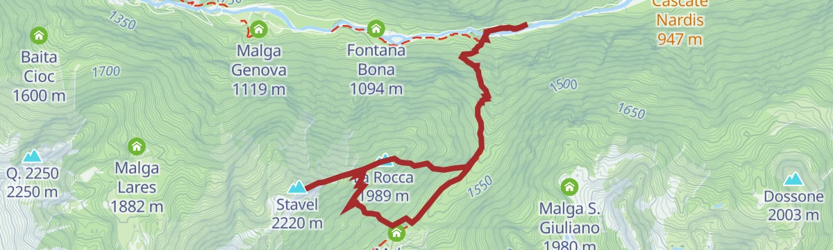
Open route APT Madonna di Campiglio, Pinzolo, Val RendenaThe War Observatory Trail: Monte Stavel – Val Genova – The Great War Itineraries
A hard route from Scala di Bò up the Val Siniciaga to the Monte Rocca ridge, with a cabled step, then the Om di Lares pass to Monte Stavel past trenches.
- 9.5 km
- Distance
- 1 157 m
- Ascent
- 6 h 52 min
- Duration
- 2
- Check-ins
- Stavel 2 220 m
- La Rocca 1 989 m
- Baita Cacciatori 1 536 m
- Malga Germenega Bassa 1 582 m
- Sella della Rocca 1 951 m
Open route APT Madonna di Campiglio, Pinzolo, Val RendenaRio Nardis G2
A level route along the Rio Nardis where it runs out into the Val Rendena at Giustino.
- 4.5 km
- Distance
- 0 m
- Ascent
- 3 h 22 min
- Duration
Open route Trentino FishingQuartz Quarry circuit
A loop above Giustino and Massimeno, passing over the workings of the old quartz quarry on the hillside.
- 4.9 km
- Distance
- 356 m
- Ascent
- 2 h 21 min
- Duration
Open route APT Madonna di Campiglio, Pinzolo, Val RendenaThe ‘Landesschützen’ Trail B51 – The Great War Itineraries
A historical route through the upper Val Nardis, marking the Kaiserschützen company posted to guard the valley from 1916 with the help of local guides.
- 8.0 km
- Distance
- 965 m
- Ascent
- 5 h 44 min
- Duration
Open route APT Madonna di Campiglio, Pinzolo, Val RendenaSt. John's
A short walk from Giustino to the San Giovanni chapel, which the Baschenis brothers frescoed, returning by way of Massimeno.
- 2.5 km
- Distance
- 113 m
- Ascent
- 51 min
- Duration
Open route APT Madonna di Campiglio, Pinzolo, Val RendenaThe ‘Hauptmann Theodor Bernatz’ Artillery – The Great War Itineraries
An almost level high traverse between the Seyfriedhütte and the Ganöta saddle north-west of Cima Tamalè, where stretches of military paving survive.
- 1.1 km
- Distance
- 60 m
- Ascent
- 26 min
- Duration
Open route APT Madonna di Campiglio, Pinzolo, Val Rendena
No routes of this kind in Giustino yet.
The region's own picks

Featured route
Doss del Sabion - Bregn da l’Ors - Pra Rodont
A traverse from the Doss del Sabion above Pinzolo by Bregn da l'Ors to Pra Rodont.
Planning a trip to Giustino?
Everything else Trentino-Alto Adige/Südtirol has, in one place


Take Giustino with you into the mountains
Every route on this page with 3D terrain, GPX navigation and offline maps — including the valleys with no signal.
Data sources
- Official website: campigliodolomiti.it ↗
- Routes and highlights: APT Madonna di Campiglio, Pinzolo, Val Rendena, Trentino Fishing, Astrotourism, APT Dolomiti di Brenta e Paganella, Visit Trentino
- Published as open data by the tourist boards named above.
- Region summary generated from the board's own material.
