




Curated by Valtellina Outdoor
Gerola Alta
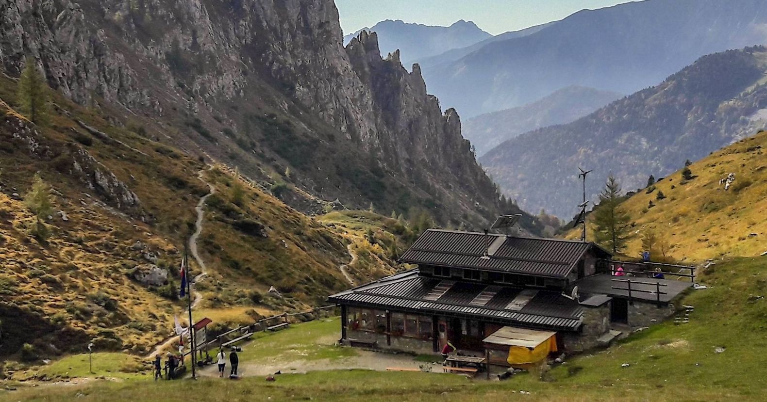
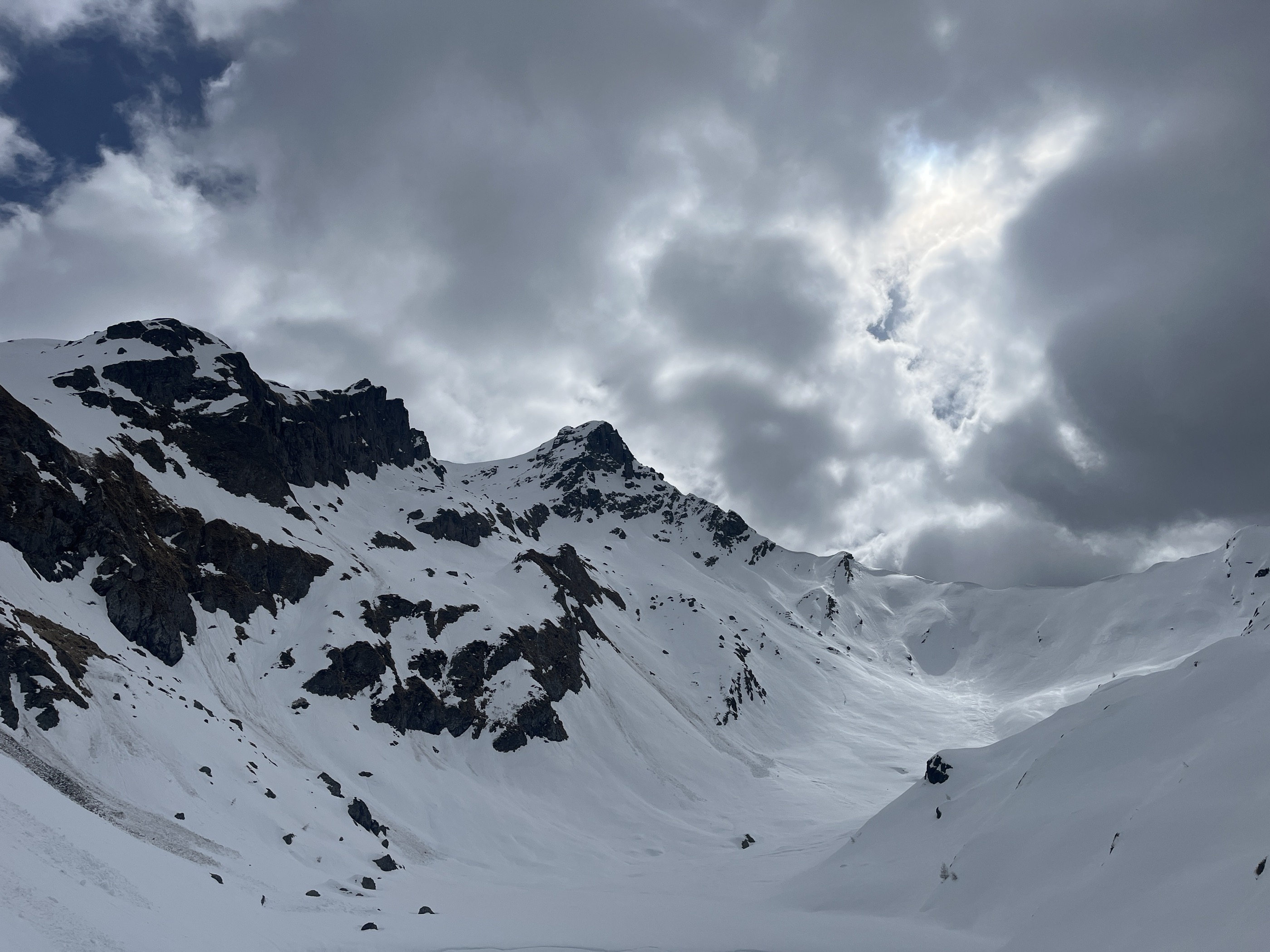
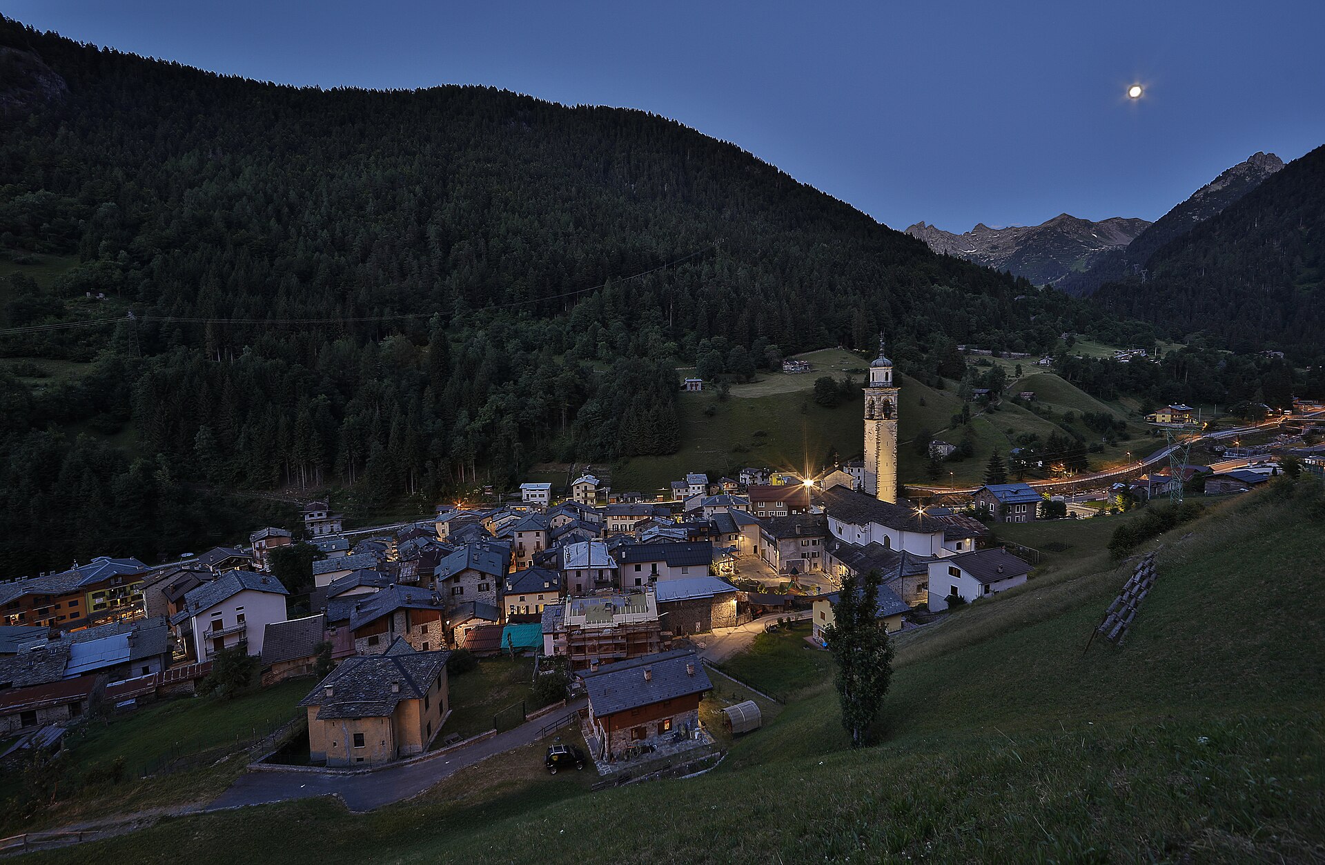
Village at the head of the Val Gerola, cheese country, with the Orobie ridge and its refuges above the pastures.
- 3Highlights
- 8Routes
- Featured summit · Pizzo dei Tre Signori
Highlights
All 3 from neighbouring places
Ethnographisches Museum des oberen Brembana-Tals
7.8 km away, in Valtorta
A museum at Valtorta on herding, cheese-making and winter life at the head of the Brembana valley.
Rifugio Olmo
8.7 km away, in Mezzoldo
A hut above Mezzoldo in the upper Val Brembana, below the San Marco pass.
Museo Civico di Storia Naturale di Morbegno
9.4 km away, in Morbegno
A natural history museum at Morbegno on the Orobie and Rhaetian slopes that meet at the valley mouth.
Nothing of this kind in Gerola Alta.
Routes
12 from neighbouring places
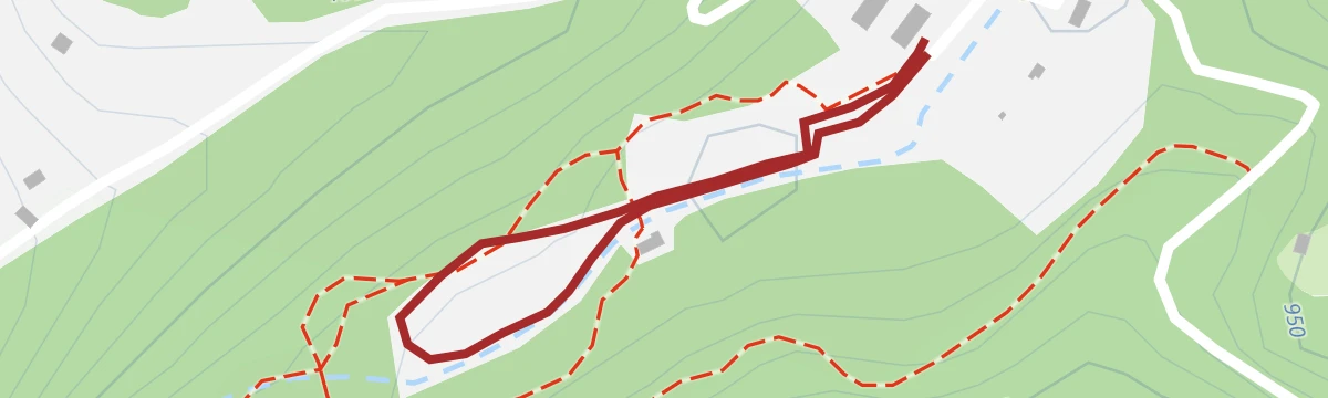
Walk in the forest in Valgerola
A short walk through fir forest in the Val Gerola, cool in summer and silent under snow.
- 1.8 km
- Distance
- 201 m
- Ascent
- 50 min
- Duration
- 43
- Check-ins
Open route Valtellina OutdoorIn Valgerola al Rifugio Salmurano
A short climb in the Val Gerola to the Salmurano hut, just below the pass of the same name on the Orobie crest.
- 2.9 km
- Distance
- 399 m
- Ascent
- 1 h 35 min
- Duration
- 55
- Check-ins
Rododendri in Val Gerola
A demanding round in the Val Gerola timed for the rhododendron flowering, when the slopes above the huts turn deep pink.
- 14.0 km
- Distance
- 1 041 m
- Ascent
- 6 h 49 min
- Duration
- 188
- Check-ins
Ecomusenses, the accessible trail in Valgerola
A paved, shaded kilometre in the Val Gerola with scent beds, sound instruments, touch panels and gnome houses, laid out to be walked by anyone.
- 639 m
- Distance
- 10 m
- Ascent
- 12 min
- Duration
Open route Valtellina OutdoorLaveggiolo Trona Soliva with joelette
A dirt road from the car park at Laveggiolo, 1,460 m, into the Val Vedrano, over a wooden bridge and round the mountainside towards Trona Soliva; joelette-friendly.
- 13.3 km
- Distance
- 512 m
- Ascent
- 4 h 23 min
- Duration
- 12
- Check-ins
Open route Valtellina OutdoorPizzo dei Tre Signori, symbolic peak among three provinces
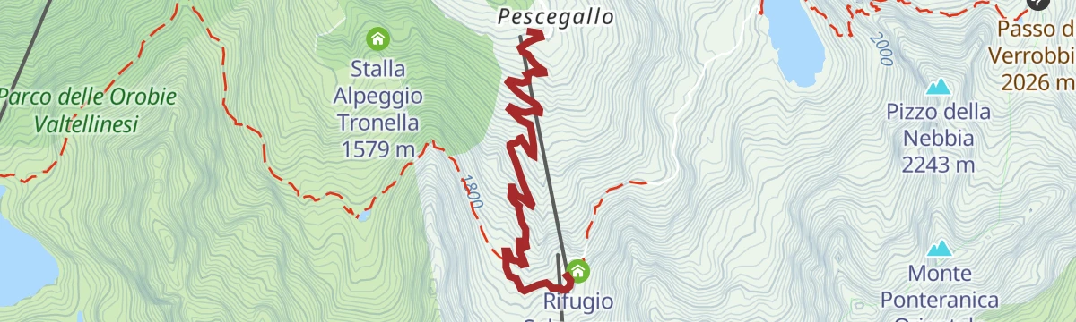
A climb from Pescegallo on trail 148 past the Trona and Inferno reservoirs to the Pizzo dei Tre Signori, the peak where three provinces meet.
- 7.8 km
- Distance
- 1 214 m
- Ascent
- 4 h 55 min
- Duration
- 173
- Check-ins
 Pizzo dei Tre Signori 2 554 m
- Bastionata di Piazzocco 2 480 m
 Cioky Bar 1 456 m
- Stalla Alpeggio Tronella 1 579 m
 Bocchetta di Varrone 2 126 m
- Rifugio FALC 2 120 m
- +5
Open route Valtellina OutdoorGerola Alta - Ecomusens path with joelette
The Valgerola ecomuseum's multi-sensory trail, walked out and back with a joelette because the last link of the loop is not yet passable.
- 1.8 km
- Distance
- 169 m
- Ascent
- 1 h 2 min
- Duration
Open route Valtellina OutdoorValgerola Lakes Tour
From Pescegallo on trail 148 to the Trona dam, built in the early 1940s for power, then over scree and old mine workings to the Lago dell'Inferno at 2,072 m.
- 14.8 km
- Distance
- 1 141 m
- Ascent
- 7 h 25 min
- Duration
- 149
- Check-ins
- Pizzo Paradiso 2 493 m
- Cioky Bar 1 456 m
- Stalla Alpeggio Tronella 1 579 m
- Bocchetta di Varrone 2 126 m
- Rifugio FALC 2 120 m
- Bocchetta d'inferno 2 306 m
- +6
Open route Valtellina OutdoorPasso San Marco by bike
9.6 km away, in Morbegno
A 1,700 m road climb from Morbegno through Arzo and Albaredo to the old Venetian trade pass at nearly 2,000 m on the Orobie watershed.
- 26.1 km
- Distance
- 1 760 m
- Ascent
- 3 h 21 min
- Duration
- 28
- Check-ins
- Passo San Marco 1 991 m
- ANA Morbegno 368 m
- Crotto di Arzo 728 m
- Agriturismo Ortesida 540 m
- Rifugio Alpe Lago 1 557 m
Open route Valtellina OutdoorValli di Tartano gran tour con cli sci
11.7 km away, in Tartano
A long, demanding high route through the Tartano mountains, crossing Passo di Lemma and Passo del Vallone within sight of the granite walls of Val Masino.
- 13.5 km
- Distance
- 1 342 m
- Ascent
- 1 184 m
- Descent
- 5 h 5 min
- Duration
- 27
- Check-ins
Bosco dei Bambini, mountain bike fun
13.2 km away, in Dazio
An easy woodland loop below the Colmen di Dazio, rolling past old lime kilns and the hamlet of Regolido on a natural surface.
- 4.3 km
- Distance
- 80 m
- Ascent
- 28 min
- Duration
Open route Valtellina OutdoorLa ciclabile della Valsassina
13.8 km away, in Pasturo
A valley cycle path through the Valsassina from Barzio down to Cortenova, passing the Rocca di Baiedo crags and the Cascata dello Sprizzottolo.
- 13.6 km
- Distance
- 80 m
- Ascent
- 1 h 21 min
- Duration
- 4
- Check-ins
Rifugio Benigni - Rifugio Cà San Marco
3 km away, in Ornica
A high traverse above Ornica from the Rifugio Benigni to Ca' San Marco, on the old Venetian road over the Brembana watershed.
- 8.8 km
- Distance
- 378 m
- Ascent
- 3 h 37 min
- Duration
- 89
- Check-ins
Dal Rifugio Cà San Marco a Foppolo
5.9 km away, in Averara
A long crossing from Ca' San Marco over the Passo San Marco on the old Priula mule road, then on towards Foppolo.
- 18.0 km
- Distance
- 1 273 m
- Ascent
- 8 h 48 min
- Duration
- 133
- Check-ins
Una ricca palude ai Piani Olimpici
8.1 km away, in Valtorta
A flat, very short walk across the marshland of the Piani Olimpici above Valtorta, in the upper Brembana valley.
- 762 m
- Distance
- 10 m
- Ascent
- 12 min
- Duration
ERSAF e-bike Percorso Culturale-Naturalistico
10.6 km away, in Morbegno
A long, nearly level e-bike route through the lower Valtellina, out to the Isola della Pescaia and the Sasso di Dascio viewpoint near Dascio.
- 55.2 km
- Distance
- 199 m
- Ascent
- 5 h 5 min
- Duration
- 1
- Check-ins
Open route Valtellina OutdoorAlle falde del Monte Valletto
5.3 km away, in Cusio
A pasture circuit under the Valletto in the Orobie, over the Passo Salmurano and the Colletto del Monte Avaro past the Casera Valletto.
- 11.3 km
- Distance
- 905 m
- Ascent
- 5 h 45 min
- Duration
- 95
- Check-ins
Da Valtorta al Rifugio Grassi
7.3 km away, in Valtorta
A steep climb from Valtorta to the Grassi hut, on the crest between the head of the Brembana valley and the Valsassina.
- 6.5 km
- Distance
- 1 016 m
- Ascent
- 4 h 11 min
- Duration
- 31
- Check-ins
Great War Trail
5.6 km away, in Albaredo per San Marco
A short, easy loop from the Passo San Marco onto Cima Villa, on a wartime path kept up by the local Alpini section.
- 2.1 km
- Distance
- 127 m
- Ascent
- 53 min
- Duration
- 23
- Check-ins
Open route Valtellina OutdoorSull'anello "Festival Ride"
10.9 km away, in Morbegno
A hill loop through the lesser-known villages of the lower Valtellina, climbing to Cino and dropping back past the Isola della Pescaia.
- 36.8 km
- Distance
- 1 086 m
- Ascent
- 4 h 17 min
- Duration
- 1
- Check-ins
No routes of this kind in Gerola Alta yet.
The region's own picks

Featured route
Walk in the forest in Valgerola
A short walk through fir forest in the Val Gerola, cool in summer and silent under snow.
Planning a trip to Gerola Alta?
Everything else Lombardy has, in one place


Take Gerola Alta with you into the mountains
Every route on this page with 3D terrain, GPX navigation and offline maps — including the valleys with no signal.
Data sources
- Official website: la-valtellina.com ↗
- Routes and highlights: Valtellina Outdoor, in Lombardia, Visitbergamo, Italia.it
- Published as open data by the tourist boards named above.
- Region summary generated from the board's own material.
