
Curated by Alpbachtal Tourismus
Fügen
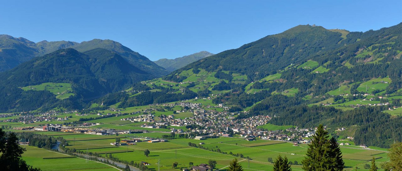
A market village of the lower Zillertal on the valley floor at about 550 m, home to a hay-milk show dairy with the Spieljoch lifts above.
- 1Highlights
- 4Routes
Highlights
14 from neighbouring places
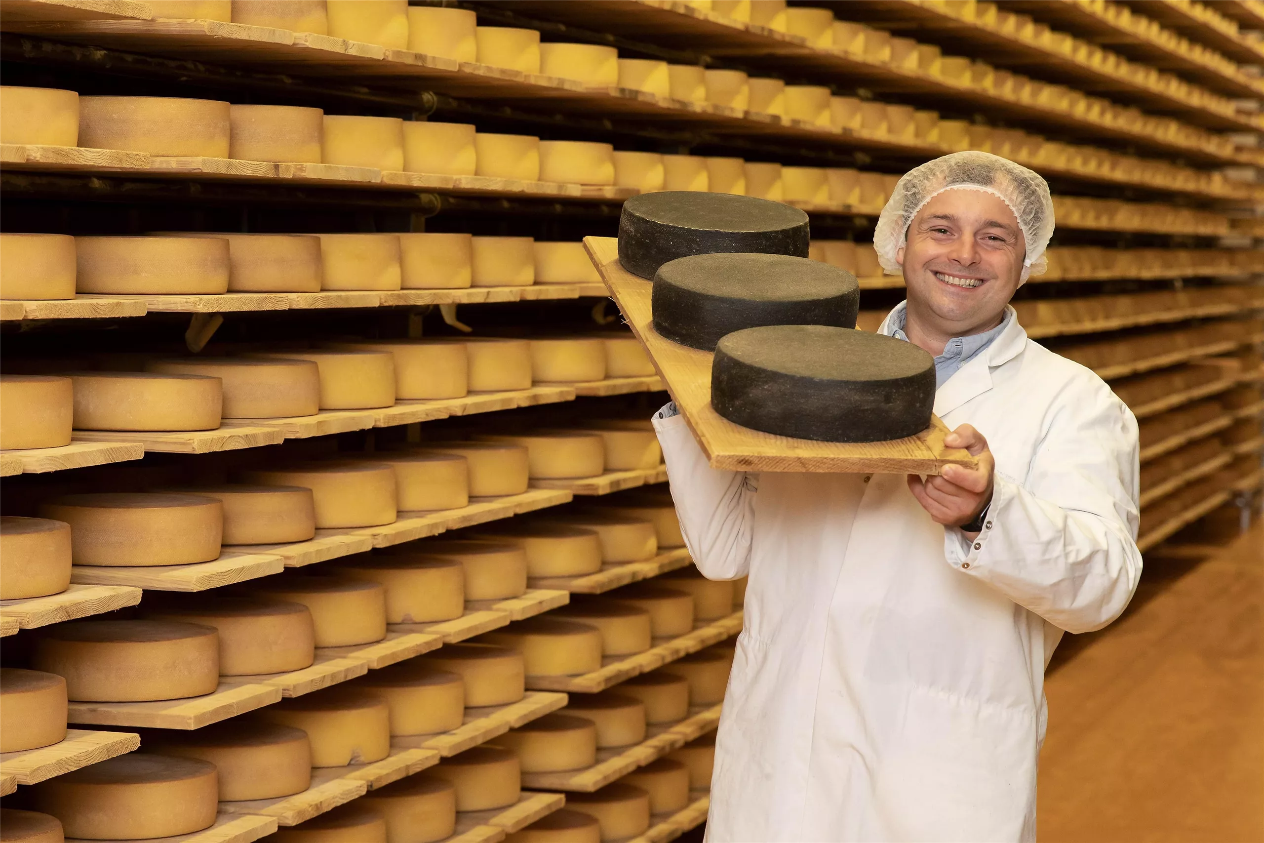
Zillertaler Heumilch Sennerei
A show dairy at Fügen in the Zillertal processing hay milk from valley farms, with a visitor gallery overlooking the cheese production.
Top of Alpbachtal
5.7 km away, in Alpbach
A summit viewpoint on the Wiedersbergerhorn above Alpbach, reached with the mountain lifts and looking across the Alpbachtal toward the Zillertal Alps.
Schwablkapelle
6 km away, in Reith im Alpbachtal
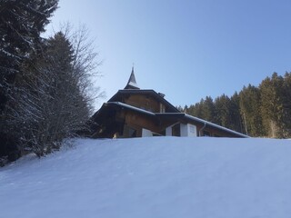
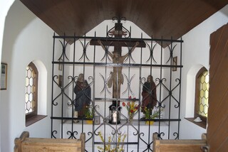
A farm chapel at the Schwabl farmstead above Reith im Alpbachtal, typical of the private chapels of Tyrolean hill farms.
Rosenkranzkapelle am Reither Kogel
6.1 km away, in Reith im Alpbachtal
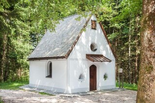
A rosary chapel on the wooded Reither Kogel, reached on the walking trails that circle the hill above Reith im Alpbachtal.
Dauerstoa Alm
6.6 km away, in Alpbach
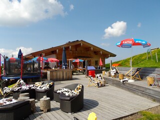
An alpine pasture hut above Inneralpbach on the way toward the Wiedersbergerhorn, serving snacks to walkers in the summer months.
Berggasthof Hornboden
6.6 km away, in Alpbach
A mountain inn at the Hornboden near the top station of the Wiedersbergerhorn gondola above Alpbach, open to skiers and summer walkers.
Abenteuerpark Zillertal
6.6 km away, in Kaltenbach
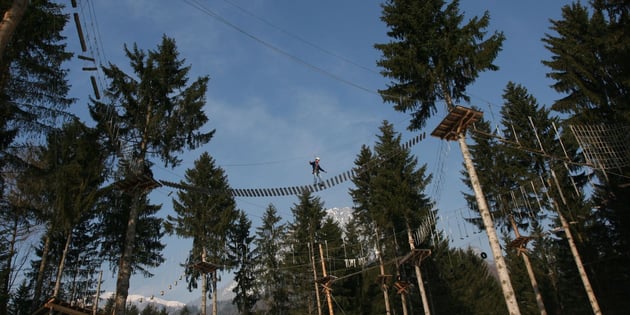
A high ropes course at Kaltenbach in the Zillertal of Tyrol, with routes strung between trees.
Gschwendtkapelle
6.6 km away, in Reith im Alpbachtal
A farm chapel at Gschwendt near Reith im Alpbachtal; the name denotes ground once cleared of forest for farming.
Kapelle Maria vom Guten Rat
6.9 km away, in Reith im Alpbachtal
A chapel of Mary of Good Counsel near Reith im Alpbachtal, a quiet devotional stop on the slopes below the Reither Kogel.
Knappenhaus
7.1 km away, in Reith im Alpbachtal
A historic miners' house (Knappenhaus) at Reith im Alpbachtal, recalling the ore mining that once employed men from the surrounding valley.
Hubkapelle
7.2 km away, in Reith im Alpbachtal
A farm chapel at the Hub farmstead in Reith im Alpbachtal, one of a cluster of family chapels around the village.
Hauser Kapelle
7.3 km away, in Münster
A farm chapel at the Hauser farmstead near Münster, typical of the private chapels raised by Inn valley farming families.
Kristall-Glas Ascher
7.6 km away, in Münster
A family glass workshop in Münster offering cut and engraved crystal glass from its own production.
Juppi Stadl
7.8 km away, in Reith im Alpbachtal
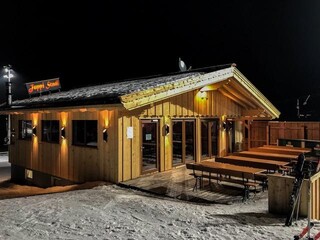
A hut on the Reither Kogel above Reith im Alpbachtal, at the Juppi family adventure area served by the Reitherkogelbahn.
Grünangerl Kapelle
7.8 km away, in Münster
A small chapel called the Grünangerl Kapelle on the green edge of Münster; the name refers to a little meadow (Angerl).
 Mountain hut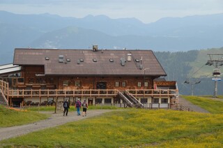
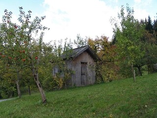
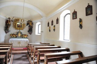
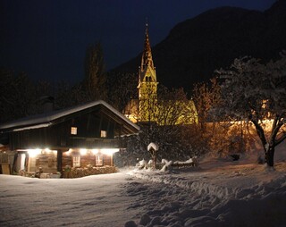
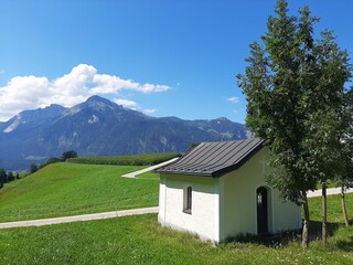

Nothing of this kind in Fügen.
Routes
16 from neighbouring places
Rennrad 16 Zillertal Extrem
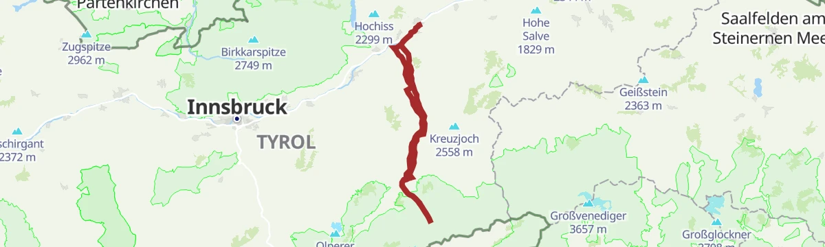
More than 3,500 m of climbing in 108 km, taking in the Melchboden at 2,022 m, the Platzlalm and the Kerschbaumer Sattel.
- 108.7 km
- Distance
- 3 244 m
- Ascent
- 12 h 42 min
- Duration
- 77
- Check-ins
Rennrad 10 Stillup
A long ride up the Zillertal to Mayrhofen, then into the side valley on the toll road to the Grüne-Wand-Hütte at 1,437 m.
- 108.5 km
- Distance
- 1 209 m
- Ascent
- 10 h 46 min
- Duration
- 71
- Check-ins
Rennrad 13 Zillergrund Stausee
A long ride to Mayrhofen and on up the side valley towards the reservoir, reaching the Bärenbadalm at about 1,450 m.
- 109.6 km
- Distance
- 1 070 m
- Ascent
- 10 h 44 min
- Duration
- 47
- Check-ins
Rennrad 12 Zillertal Cappucino
A flat run from the Inn up the valley to Mayrhofen and back, following the valley floor past Zell am Ziller.
- 74.7 km
- Distance
- 278 m
- Ascent
- 6 h 53 min
- Duration
- 35
- Check-ins
Alpbachtaler Almerlebniswanderung
5.9 km away, in Reith im Alpbachtal
Alm-experience round above Alpbach linking the Dauerstoa Alm, Wildsauhütte and Hochlindalm over the Kerschbaumer Sattel — pasture paths with steady climbing.
- 9.3 km
- Distance
- 748 m
- Ascent
- 3 h 36 min
- Duration
- 23
- Check-ins
Panoramaweg Reith i.A.
5.9 km away, in Reith im Alpbachtal
Gentle balcony path on the Reither Kogel plateau, rounding the Spitzerköpfel with steady views over the Inn valley; the gondola takes care of the altitude.
- 6.7 km
- Distance
- 64 m
- Ascent
- 2 h 14 min
- Duration
- 4
- Check-ins
Inntalradweg - Reith i.A. 322
6.9 km away, in Reith im Alpbachtal
A short, easy connector dropping from the Reitherkogelbahn in Reith down to the main cycle route along the river Inn.
- 3.5 km
- Distance
- 160 m
- Ascent
- 25 min
- Duration
- 1
- Check-ins
Skitour Loderstein (1.830 m) Reith im Alpbachtal
6.9 km away, in Reith im Alpbachtal
Ski tour above Reith im Alpbachtal onto the Loderstein, climbing past the Wildsauhütte and Hechenblaikenalm to a quiet forest summit at 1,830 m.
- 9.3 km
- Distance
- 1 025 m
- Ascent
- 1 017 m
- Descent
- 3 h 49 min
- Duration
- 4
- Check-ins
3. Tag - Mountainbike-Sternfahrt Alpbachtal
7.9 km away, in Reith im Alpbachtal
The closing stage, climbing to the Bayreuther Hütte at 1,560 m and coming back down to the Reitherkogelbahn and the Inn valley.
- 30.1 km
- Distance
- 1 176 m
- Ascent
- 3 h 47 min
- Duration
- 15
- Check-ins
Rundweg Hochlindalm (Reith i.A.) 317
7.9 km away, in Reith im Alpbachtal
Long pasture loop above Reith im Alpbachtal that strings together the Wildsauhütte, Hochlindalm and Schindlebenalm, with rustic huts spaced along the way.
- 16.3 km
- Distance
- 785 m
- Ascent
- 5 h 48 min
- Duration
- 6
- Check-ins
Singletrail Otto-Leixl-Hütte 345
12.3 km away, in Hart im Zillertal
A short singletrack between the Steinbergalm and the Otto-Leixl-Hütte at 1,911 m.
- 1.1 km
- Distance
- 0 m
- Ascent
- 11 min
- Duration
- 3
- Check-ins
Gern
12.7 km away, in Wildschönau
A moderate winter tour above Auffach, skinning past the Grasingalm and the Talstner Niederalm into the Gern high valley — about 830 m of climbing on pasture terrain.
- 4.9 km
- Distance
- 830 m
- Ascent
- 830 m
- Descent
- 2 h 46 min
- Duration
- 7
- Check-ins
Klettersteig am Reintalersee
13.5 km away, in Kramsach
Via ferrata above the Reintalersee near Kramsach, combining a lakeside approach past the Fischerstube with a wired climb in the crags over the water.
- 4.7 km
- Distance
- 410 m
- Ascent
- 3 h 19 min
- Duration
- 16
- Check-ins
Auffach-Grasingalm
13.9 km away, in Wildschönau
A forest-road climb from the Schatzbergbahn valley station up past the Talstner Niederalm to the pastures at 1,644 m above Wildschönau.
- 7.7 km
- Distance
- 815 m
- Ascent
- 1 h 53 min
- Duration
- 6
- Check-ins
Alpbachtal e-Bike Battle
8 km away, in Reith im Alpbachtal
An e-bike climb from Reith im Alpbachtal over the Kerschbaumer Sattel, on past the Wildsauhütte to the reservoir at 1,519 m.
- 23.1 km
- Distance
- 1 125 m
- Ascent
- 3 h 9 min
- Duration
- 13
- Check-ins
Wanderung zur Wildsauhütte
5.9 km away, in Reith im Alpbachtal
Half-day loop from Reith over the Kerschbaumer Sattel to the Wildsauhütte, returning past the Hechenblaikenalm and the Steindl Häusl on quiet farm lanes.
- 11.3 km
- Distance
- 429 m
- Ascent
- 3 h 42 min
- Duration
- 9
- Check-ins
Reither Kogel Gipfelerlebnis
5.9 km away, in Reith im Alpbachtal
Short family summit walk onto the Reither Kogel, passing the Juppi Kid's Club Zauberhütte on a gondola-served hill with wide views over the Alpbachtal.
- 4.9 km
- Distance
- 266 m
- Ascent
- 1 h 53 min
- Duration
- 9
- Check-ins
Skitour Gamskopf von Inneralpbach
8.1 km away, in Alpbach
Steep ski tour from Inneralpbach to the Gamskopf, gaining over 1,100 m in under six kilometres through alm clearings to an open summit slope.
- 5.7 km
- Distance
- 1 105 m
- Ascent
- 0 m
- Descent
- 3 h 3 min
- Duration
- 2
- Check-ins
MTB-route 320 Hornboden - Reith i.A.
7.9 km away, in Reith im Alpbachtal
A steep forest-road climb from the valley to the alms at 1,850 m below the Spitzerköpfel, passing the Hochlindalm and Wildsauhütte.
- 17.4 km
- Distance
- 1 323 m
- Ascent
- 2 h 26 min
- Duration
- 26
- Check-ins
Schatzberg Rundwanderung
9 km away, in Alpbach
Full valley-to-summit circuit of the Schatzberg from Alpbach, climbing past the Postalm to the Gipfö Hit at the top and returning by the Wurmegg Hochleger.
- 15.0 km
- Distance
- 1 036 m
- Ascent
- 6 h 55 min
- Duration
- 66
- Check-ins




No routes of this kind in Fügen yet.
Planning a trip to Fügen?
Everything else Tyrol has, in one place


Take Fügen with you into the mountains
Every route on this page with 3D terrain, GPX navigation and offline maps — including the valleys with no signal.
Data sources
- Official website: wilderkaiser.info ↗
- Routes and highlights: Alpbachtal Tourismus, Wildschönau Tourismus, Wilder Kaiser Tourismus, Mayrhofen
- Published as open data by the tourist boards named above.
- Region summary generated from the board's own material.
