
Curated by Lechtal Tourismus
Forchach
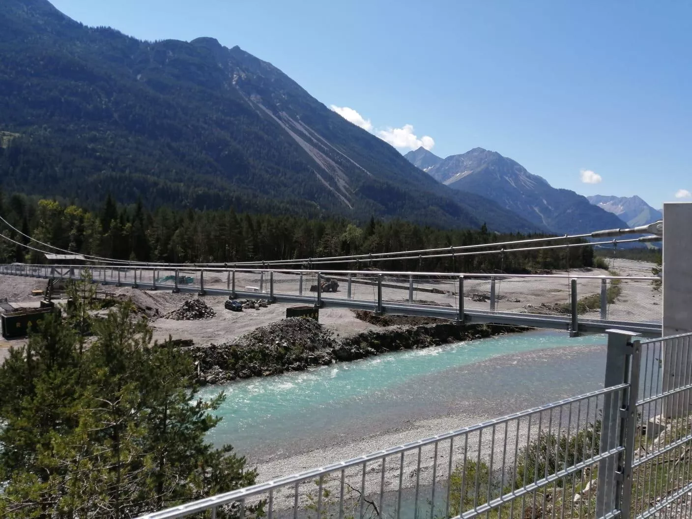
One of the smallest Lechtal villages, set on the braided gravel banks of the wild Lech, which a long pedestrian suspension bridge crosses here.
- 1Highlights
- 32Routes
Highlights
14 from neighbouring places
Hängebrücke Forchach
A suspension footbridge across the Lech at Forchach, letting walkers cross the wide gravel bed of one of the Alps' last wild rivers.
Erlebnis-Freibad Weißenbach
3.9 km away, in Reutte
The outdoor swimming pool of Weissenbach am Lech, with pools, slides and lawns for families during the summer season.
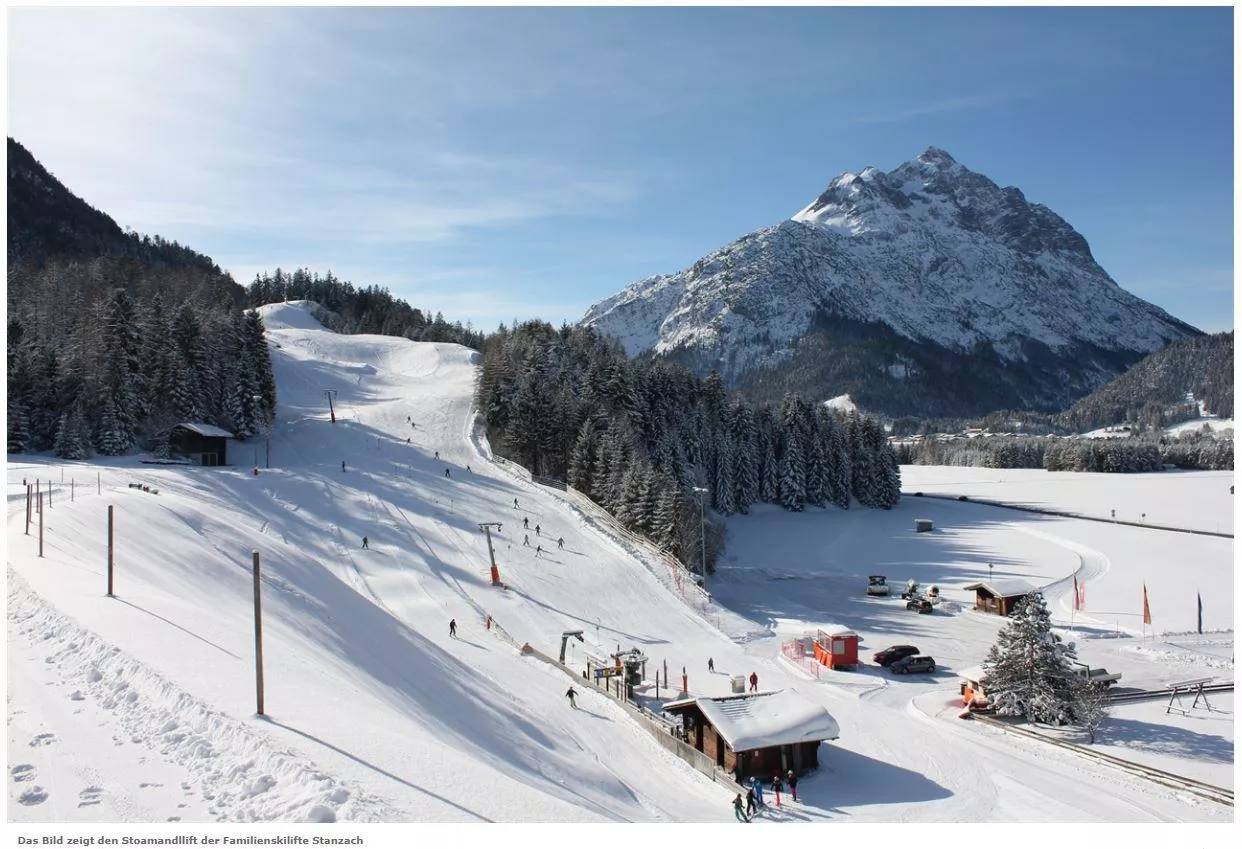
Skilift Stanzach - Stoamandllift
4.4 km away, in Stanzach
A village ski lift at Stanzach in the Lechtal, its name taken from Stoamandl, the dialect word for a stone cairn figure.
Skilifte Stanzach - Übungslift
4.4 km away, in Stanzach
A practice ski lift at Stanzach, serving the village nursery slope for beginners in the middle Lechtal at 940 m.
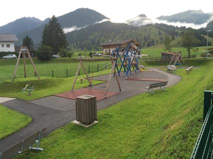
Spielplatz Weißenbach
4.6 km away, in Weißenbach am Lech
A public playground in Weissenbach am Lech, a free stop for families in the Naturparkregion Reutte.
Fischwasser Weißenbach und Nesselwängler Ache
4.9 km away, in Weißenbach am Lech
Fly-fishing waters on the Weissenbach and Nesselwängler Ache near Weissenbach am Lech, clear mountain streams in the Tiroler Lech nature park.
Berggut Gaicht
5.9 km away, in Weißenbach am Lech
A mountain estate at Gaicht above Nesselwängle, offering hut-style lodging near the pass between the Tannheimer Tal and the Lech valley.
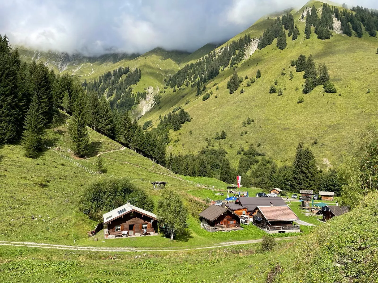
Ehenbichler Raaz-Alm
7.2 km away, in Reutte
A high pasture near Berwang neighbouring the Ehenbichler Alm, where cattle graze in summer and walkers find simple refreshment.
Ehenbichler Alm
7.3 km away, in Reutte
A managed pasture hut in the mountains south of Reutte, open to walkers and mountain bikers during the summer months.
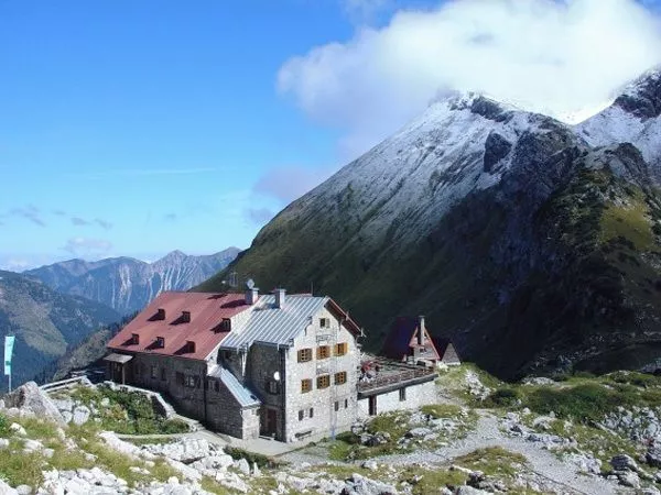
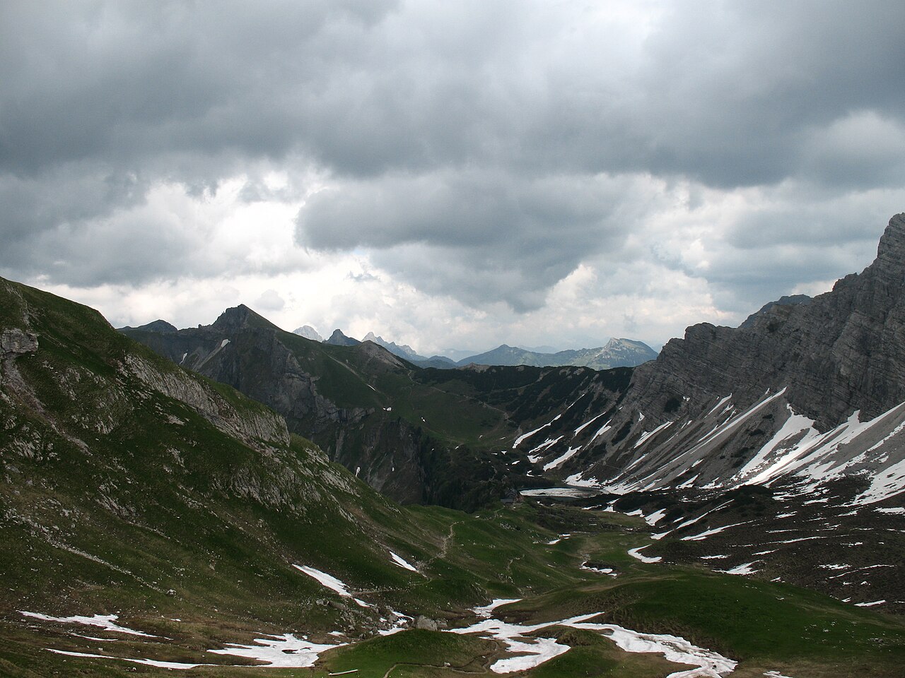
Landsberger Hütte
7.5 km away, in Weißenbach am Lech
A staffed Alpine Club hut in the Tannheim mountains above the Vilsalpsee, reached on foot from Tannheim and a base for ridge walks and climbs.
Michls Fallerscheinstube 1.302 m
7.6 km away, in Stanzach
An alm restaurant at 1,302 m in Fallerschein, a historic log-hut village above Stanzach, serving regional dishes in the summer months.
Sennerstüberl Fallerschein 1.302 m
7.6 km away, in Stanzach
An alm parlour at 1,302 m in Fallerschein, the old log-hut settlement above Stanzach, serving regional dishes to summer visitors.
Festung Schlosskopf
10.2 km away, in Reutte
An 18th-century fortress on the Schlosskopf hill above the Ehrenberg castle ensemble near Reutte, built to command the older works below.
highline179
10.6 km away, in Reutte
A pedestrian suspension bridge spanning the valley between the Ehrenberg castle ruins and Fort Claudia near Reutte, over 400 m long.
Burgenwelt Ehrenberg
10.6 km away, in Reutte
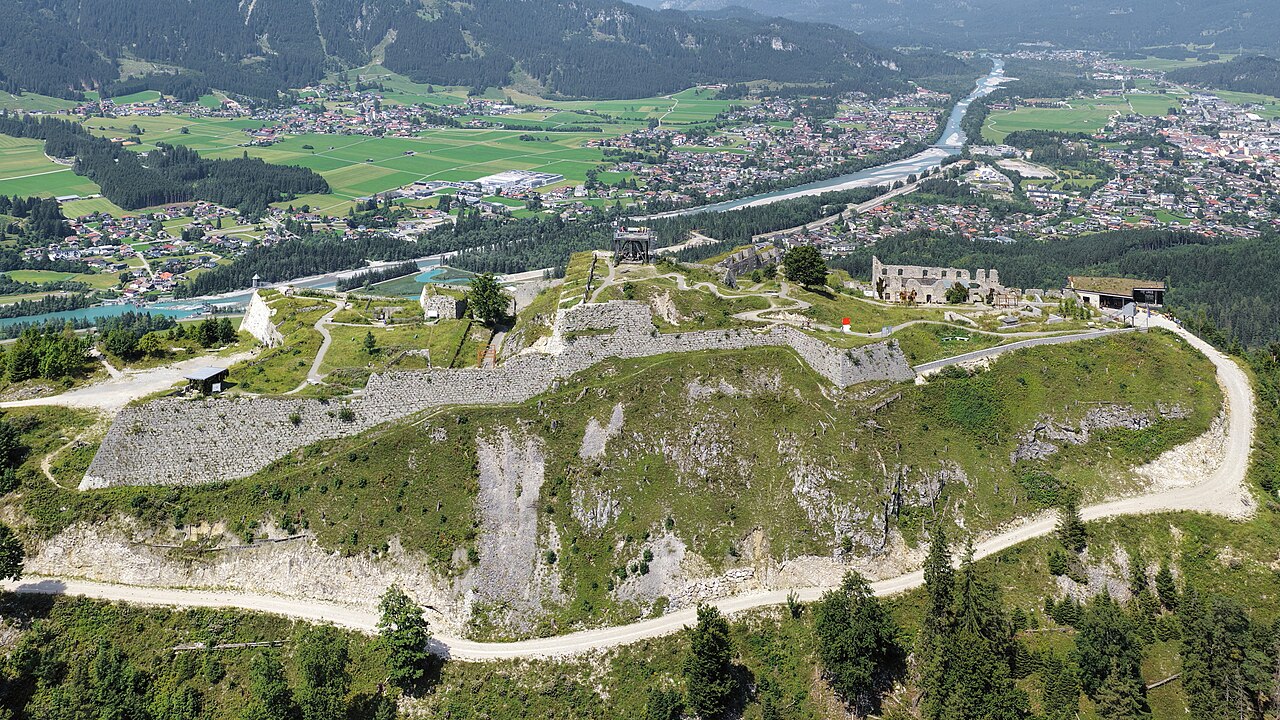
The Ehrenberg castle ensemble near Reutte, with medieval ruins, a fort museum and the highline179 pedestrian suspension bridge.
 Viewpoint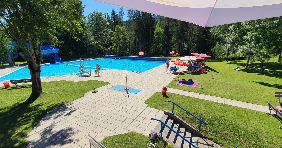
 Cable car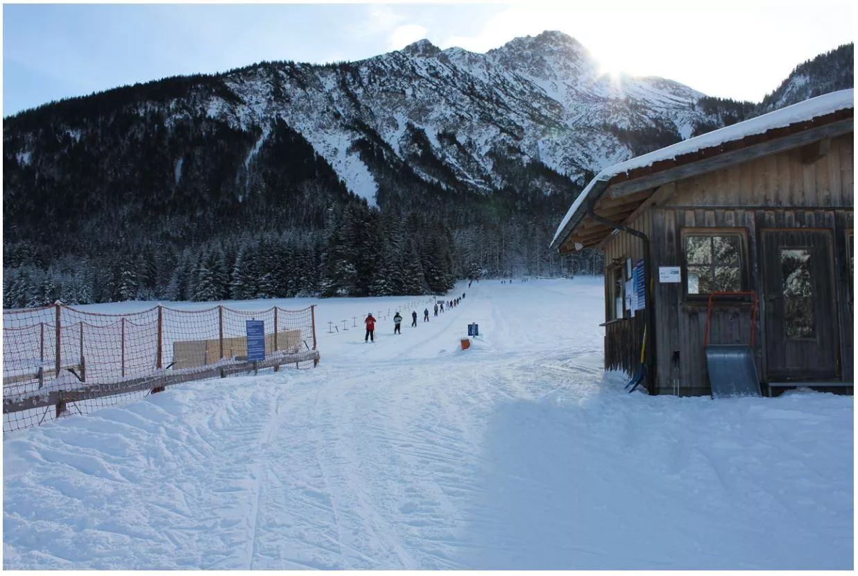
 Mountain hut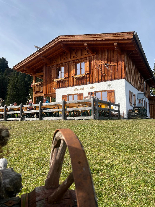
 Historic site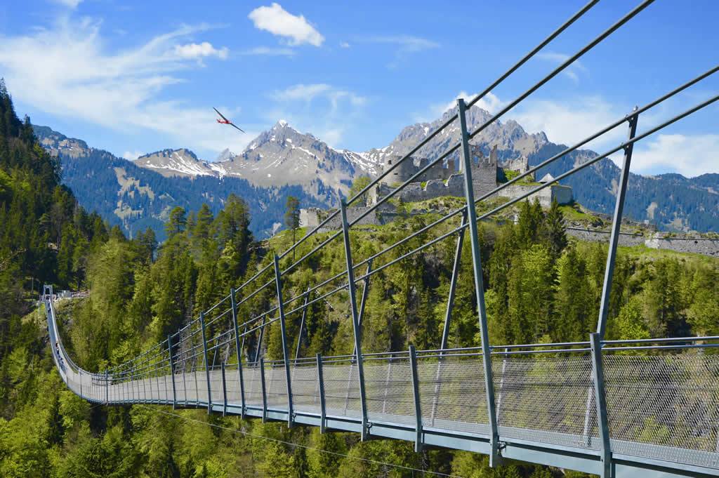
Nothing of this kind in Forchach.
Routes
Forchach - Zur Schwarzwasserschlucht
Easy walk from Forchach to the mouth of the Schwarzwasserschlucht, where the Schwarzwasserbach emerges from its gorge towards the wild Lech.
- 3.5 km
- Distance
- 32 m
- Ascent
- 53 min
- Duration
- 6
- Check-ins
Stanzach - Über die Hängebrücke
A long, level loop from Stanzach that crosses the Lech on a suspension bridge — laid out to suit families, wheelchairs and pushchairs.
- 12.8 km
- Distance
- 42 m
- Ascent
- 3 h 6 min
- Duration
- 9
- Check-ins
Forchach - Landsberger Hütte
Long approach from Forchach over the Steinkarscharte to the Landsberger Hütte, the Alpine Club hut set among the lakes of the Tannheim mountains.
- 14.1 km
- Distance
- 1 114 m
- Ascent
- 5 h 30 min
- Duration
- 38
- Check-ins
Gravelbike Tour 1.3 - Durch den Naturpark Tiroler Lech
A long gravel run up the Lech valley in Tirol, with the Petersbergalm at 1,250 m and the Drähhüttenalm on the higher sections.
- 79.4 km
- Distance
- 688 m
- Ascent
- 7 h 42 min
- Duration
- 41
- Check-ins
2026_RAD-MARATHON_103 km
The long course of a road marathon out of the Tannheimer Tal, crossing the Oberjoch pass and the Wertach-Iller watershed on the German side.
- 103.4 km
- Distance
- 1 489 m
- Ascent
- 10 h 34 min
- Duration
- 203
- Check-ins
Lechweg Abschnitt: Forchach - Weißenbach
Flat, easy Lechweg section from Forchach to Weißenbach past the Baggersee, a gentle riverbank link stage of about seven kilometres.
- 6.8 km
- Distance
- 22 m
- Ascent
- 1 h 40 min
- Duration
- 5
- Check-ins
Forchach - Zu den Sieglseen
Climb from Forchach into the Schwarzwassertal to the two Sieglseen, small lakes lying at about 1,205 m in a quiet forest basin.
- 11.4 km
- Distance
- 485 m
- Ascent
- 3 h 33 min
- Duration
- 6
- Check-ins
Forchach - Prinz-Luitpoldhaus
Marathon crossing from Forchach through the Schwarzwassertal into the Allgäu Alps to the Prinz-Luitpold-Haus at 1,846 m below the Hochvogel.
- 18.4 km
- Distance
- 1 689 m
- Ascent
- 8 h 50 min
- Duration
- 31
- Check-ins
Gravelbike Tour 4.1 - Berwanger Talrunde
A long gravel-road circuit through the Berwanger Tal and down towards the Lech, passing below the Thanellerkar and by the Baggersee.
- 54.1 km
- Distance
- 834 m
- Ascent
- 5 h 35 min
- Duration
- 29
- Check-ins
Namlosrunde
A long road circuit from Reutte through the Tannheimer Tal past the Haldensee, crossing the Vils–Lech watershed on the way home.
- 87.1 km
- Distance
- 1 713 m
- Ascent
- 9 h 21 min
- Duration
- 85
- Check-ins
Rundweg Lechausee | Barrierefrei
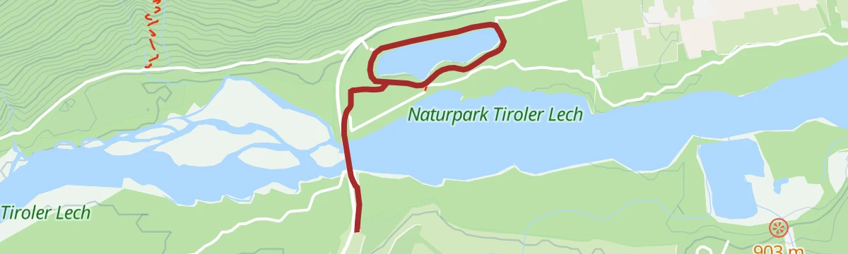
Barrier-free loop around the Lechausee near Forchach, a level lakeside circuit accessible with wheelchairs and prams.
- 2.5 km
- Distance
- 18 m
- Ascent
- 37 min
- Duration
- 4
- Check-ins
Rundweg Bergle Weißenbach
Nearly flat round at Weißenbach circling the Bergle rise, passing a swimmable Baggersee — a long but gentle valley walk.
- 8.9 km
- Distance
- 79 m
- Ascent
- 2 h 16 min
- Duration
- 4
- Check-ins
Lechweg - Gemütliche Variante - Etappe 6 - Elmen bis Weißenbach
Relaxed Lechweg stage from Elmen to Weißenbach on the valley floor, passing the Baggersee bathing lake and a bird-watching hide along the Lech.
- 20.0 km
- Distance
- 210 m
- Ascent
- 5 h 19 min
- Duration
- 13
- Check-ins
Lechzopf Tour
A nearly level ride along the braided river Lech between Elmen and Vorderhornbach, on the valley track past the campsite.
- 26.2 km
- Distance
- 162 m
- Ascent
- 2 h 28 min
- Duration
- 14
- Check-ins
Steeg-Kaisers
A very long day on the road from the Lechtal into the Tannheimer Tal, over the Vils/Lech watershed and past the Haldensee.
- 118.1 km
- Distance
- 1 951 m
- Ascent
- 12 h 19 min
- Duration
- 76
- Check-ins
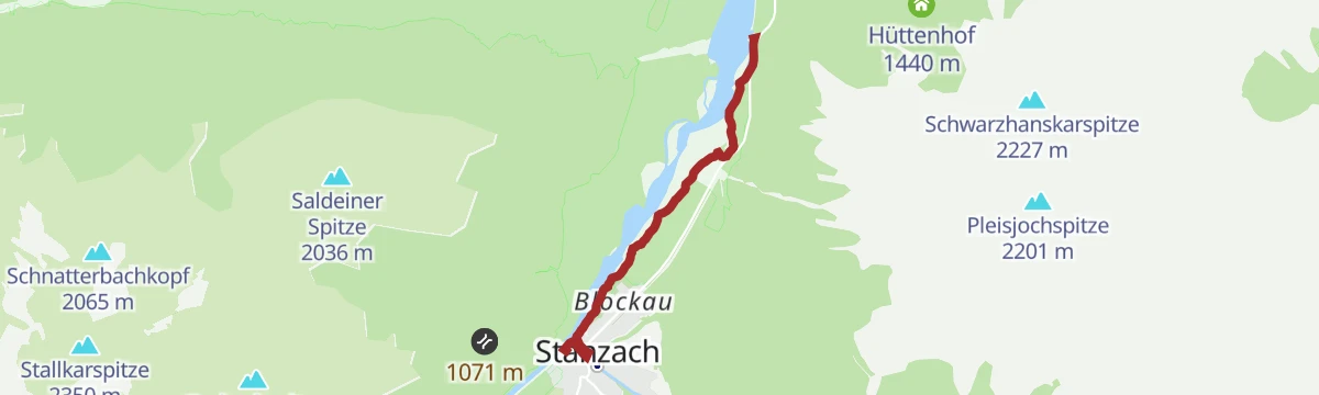
Am Lech entlang: Forchach-Stanzach
Flat riverside walk from Forchach to Stanzach, passing a bird-watching hide on the gravel banks of the braided Lech.
- 4.1 km
- Distance
- 21 m
- Ascent
- 60 min
- Duration
- 3
- Check-ins
Stanzach - Höhenweg nach Forchach
A nearly flat panorama path linking Stanzach with Forchach along the Lech valley, passing a Vogelbeobachtungshütte where you can watch birdlife over the river flats; a good family outing.
- 8.4 km
- Distance
- 57 m
- Ascent
- 2 h 7 min
- Duration
- 3
- Check-ins
Lechweg - Klassische Variante - Etappe 6 - Stanzach bis Wängle
Stage 6 of the classic Lechweg: over 20 nearly flat kilometres from Stanzach to Wängle, following the wild river past gravel banks and a bird hide.
- 20.8 km
- Distance
- 63 m
- Ascent
- 5 h 4 min
- Duration
- 8
- Check-ins
Lechzopf Tour – MTB-Spaß rund um das Tannheimer Tal
A rolling ride on tracks along the Lech between Stanzach and Vorderhornbach, passing the Jagdthüttenalpe and a riverside campsite.
- 26.6 km
- Distance
- 387 m
- Ascent
- 2 h 43 min
- Duration
- 14
- Check-ins
Stanzach-Hinterhornbach
A long valley ride between the Lech and the Tannheimer Tal, crossing the Vils/Lech watershed and passing the Haldensee.
- 79.3 km
- Distance
- 1 439 m
- Ascent
- 8 h 24 min
- Duration
- 71
- Check-ins
Lechweg Abschnitt: Stanzach - Forchach
A level stage of the Lechweg from Stanzach to Forchach, tracing gravel banks through the braided channels of the wild river landscape.
- 5.5 km
- Distance
- 0 m
- Ascent
- 1 h 18 min
- Duration
- 3
- Check-ins
Forchach - Älpele
Relentless little climb from Forchach to the Älpele, gaining over 800 m in barely three kilometres past the Hochstanzer Alpe.
- 3.1 km
- Distance
- 843 m
- Ascent
- 3 h 1 min
- Duration
- 2
- Check-ins
Forchach - Schwarzhanskarspitze
Very steep summit route from Forchach past the Hochstanzer Alpe towards the Schwarzhanskarspitze, gaining almost 1,300 m in five kilometres.
- 5.0 km
- Distance
- 1 286 m
- Ascent
- 4 h 37 min
- Duration
- 2
- Check-ins
Lechzopf-Runde (8007)
A waymarked mountain-bike round along the Lech valley floor, with little climbing and a stop possible at the Feldele or the Jagdthüttenalpe.
- 26.7 km
- Distance
- 407 m
- Ascent
- 2 h 45 min
- Duration
- 14
- Check-ins
Häselgehr-Gramais
A long day linking the Lech valley with the Tannheimer Tal, past the Haldensee and over the Vils-Lech watershed at 1,146 m.
- 87.1 km
- Distance
- 1 626 m
- Ascent
- 9 h 16 min
- Duration
- 62
- Check-ins
Stanzach zum Lechzopf nach Forchach
Flat riverside walk from Stanzach to the Lechzopf gravel bars near Forchach, past a bird-watching hide on the wild Lech.
- 4.0 km
- Distance
- 0 m
- Ascent
- 58 min
- Duration
- 3
- Check-ins
Forchach - Rundweg nach Weißenbach
Long, level loop between Forchach and Weißenbach along both sides of the Lech, running through the core zone of the protected wild river.
- 12.4 km
- Distance
- 89 m
- Ascent
- 3 h 7 min
- Duration
Gravelbike Tour 1.3 - Durch den Naturpark Tiroler Lech
A long gravel ride through the Naturpark Tiroler Lech from Weißenbach, taking in the Petersbergalm and the Drähhüttenalm above the river.
- 79.4 km
- Distance
- 1 443 m
- Ascent
- 8 h 24 min
- Duration
- 41
- Check-ins
Forchach - Koppenweg
Level meadow walk on the sunny plateau at Forchach, an easy family route with wide views along the valley.
- 5.8 km
- Distance
- 10 m
- Ascent
- 1 h 23 min
- Duration
Gravelbike Tour 2.1 - Lechzopf
A long gravel loop out of the Lechtal, taking in the Fallerschein meadows at around 1,300 m and the quiet Hornbach side valley.
- 65.6 km
- Distance
- 1 523 m
- Ascent
- 7 h 16 min
- Duration
- 30
- Check-ins
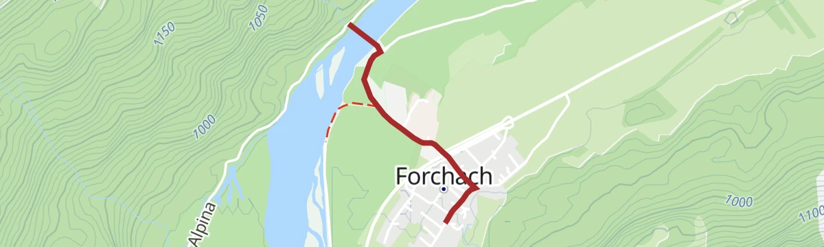
Forchach zur Hängebrücke
Very short, flat stroll from Forchach to the suspension bridge across the Lech, an easy objective for an evening walk.
- 1.1 km
- Distance
- 0 m
- Ascent
- 16 min
- Duration
Gravelbike Tour 4.1 - Berwanger Talrunde
A gravel loop through the Berwang valley from Reutte, climbing past the Thanellerkar and the Rastkopf huts to the Schwarzes Kreuz.
- 54.1 km
- Distance
- 1 175 m
- Ascent
- 5 h 54 min
- Duration
- 29
- Check-ins






No routes of this kind in Forchach yet.
Planning a trip to Forchach?
Everything else Tyrol has, in one place


Take Forchach with you into the mountains
Every route on this page with 3D terrain, GPX navigation and offline maps — including the valleys with no signal.
Data sources
- Official website: lechtal.at ↗
- Routes and highlights: Lechtal Tourismus, Naturparkregion Reutte, Tannheimer Tal
- Published as open data by the tourist boards named above.
- Region summary generated from the board's own material.
