
 Viewpoint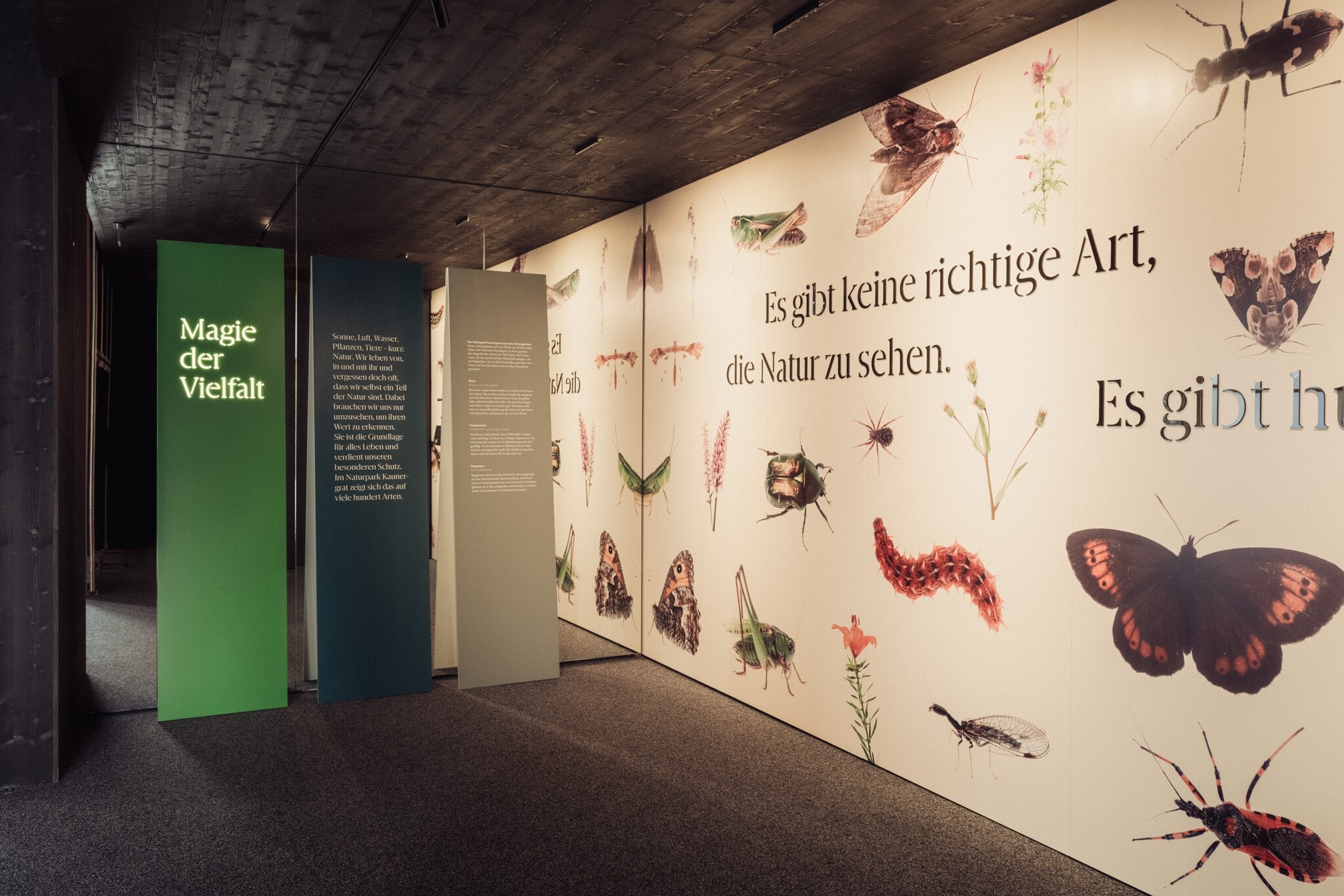
 Historic site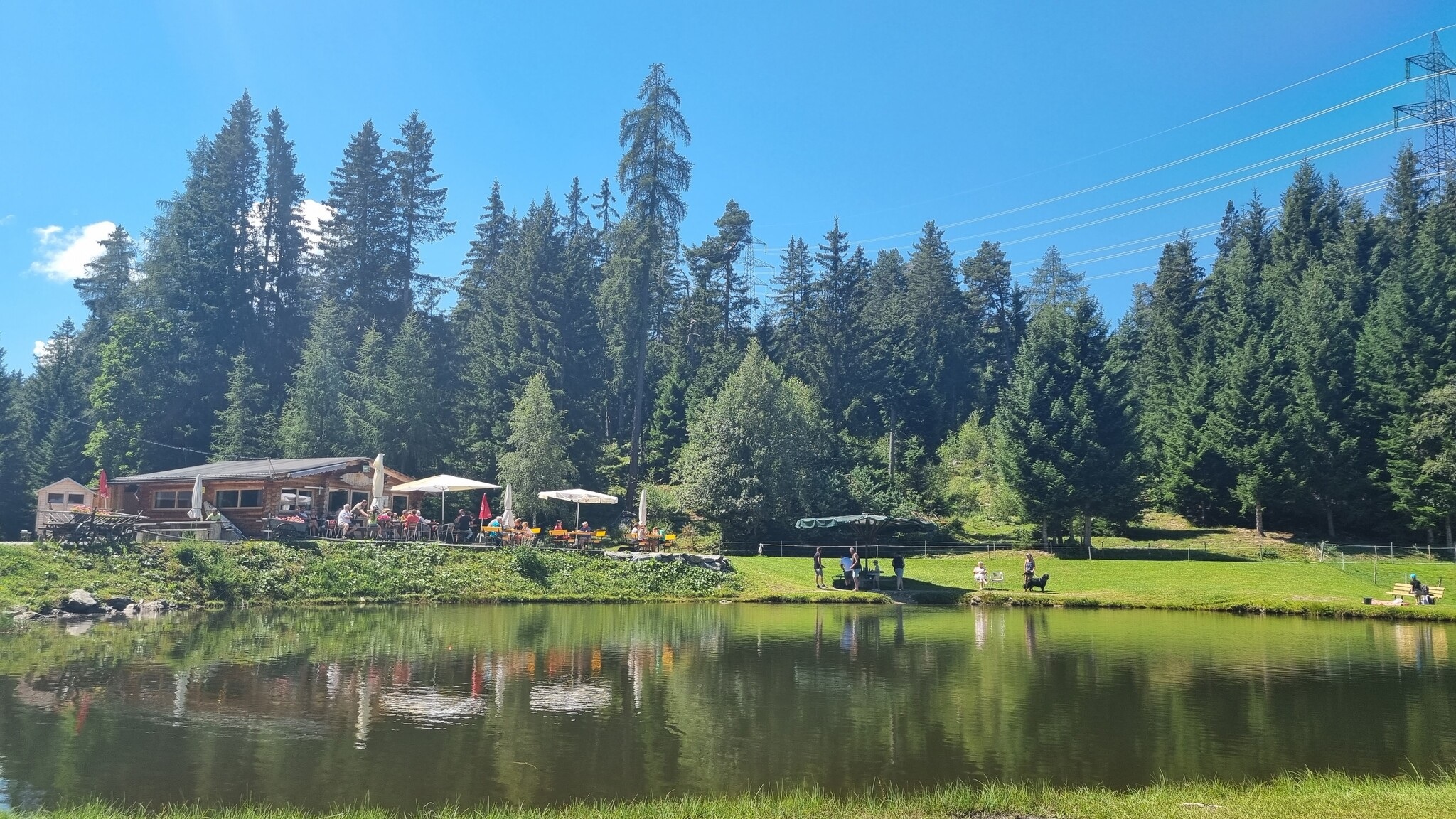













Curated by Tourismusverband Pitztal
Fließ
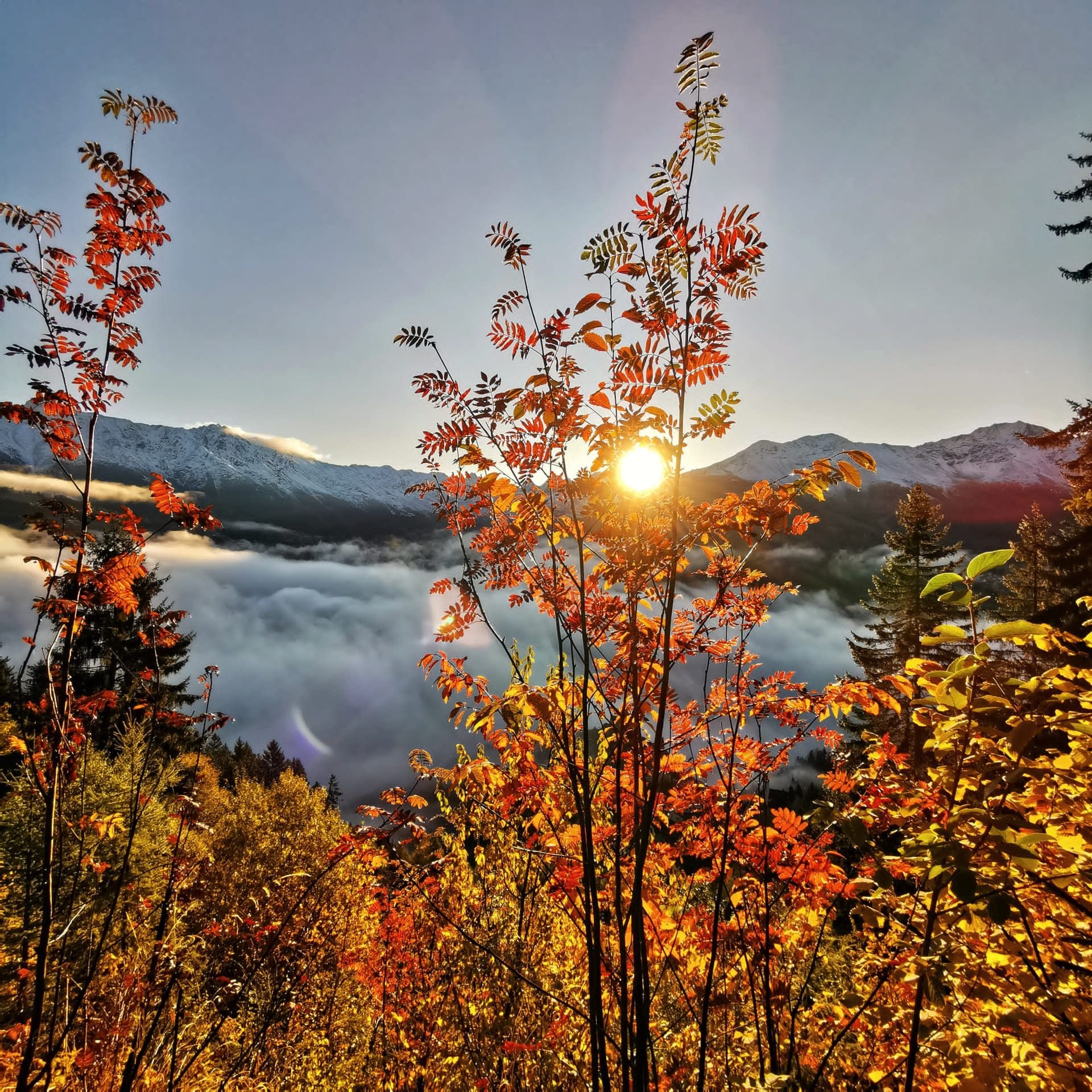
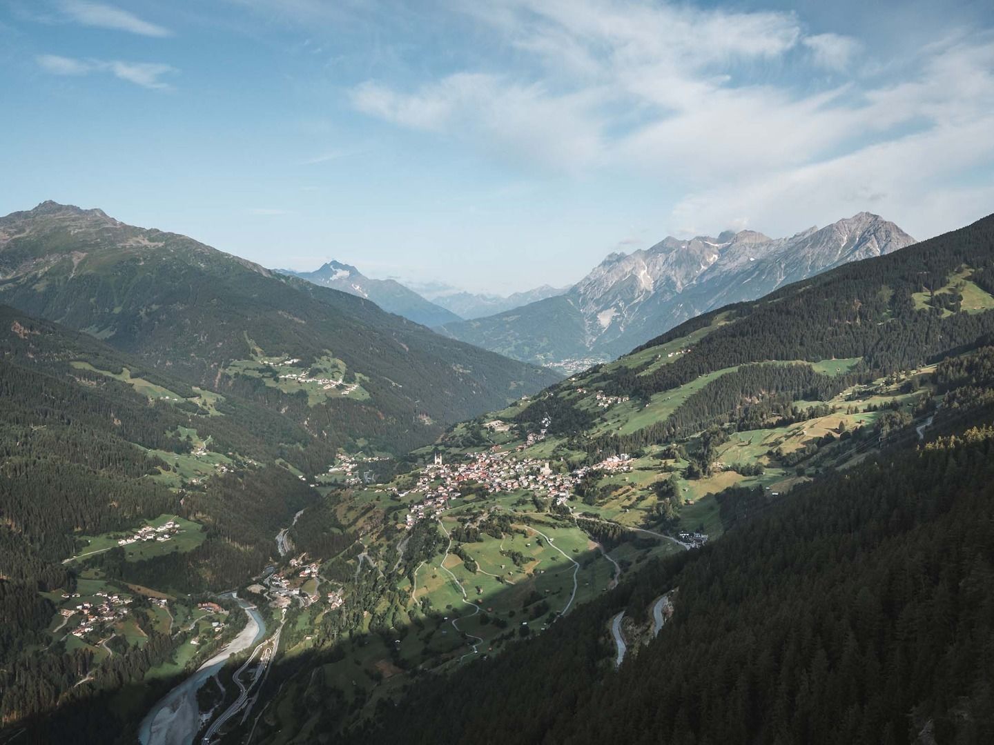
Spread on the steep slope above the young Inn near Landeck, an archaeological hotspot on the Via Claudia Augusta with the Piller Moor high above.
- 8Highlights
- 43Routes
- Featured summit · Glanderspitze
Highlights
7 from neighbouring places
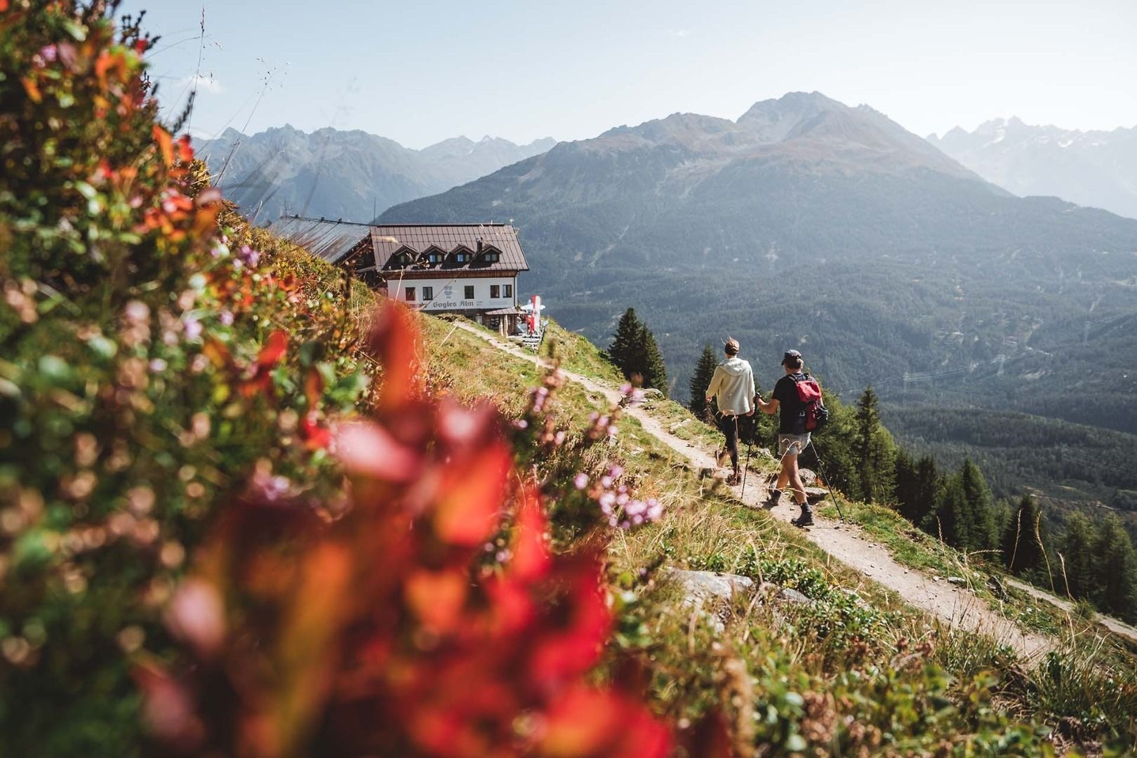
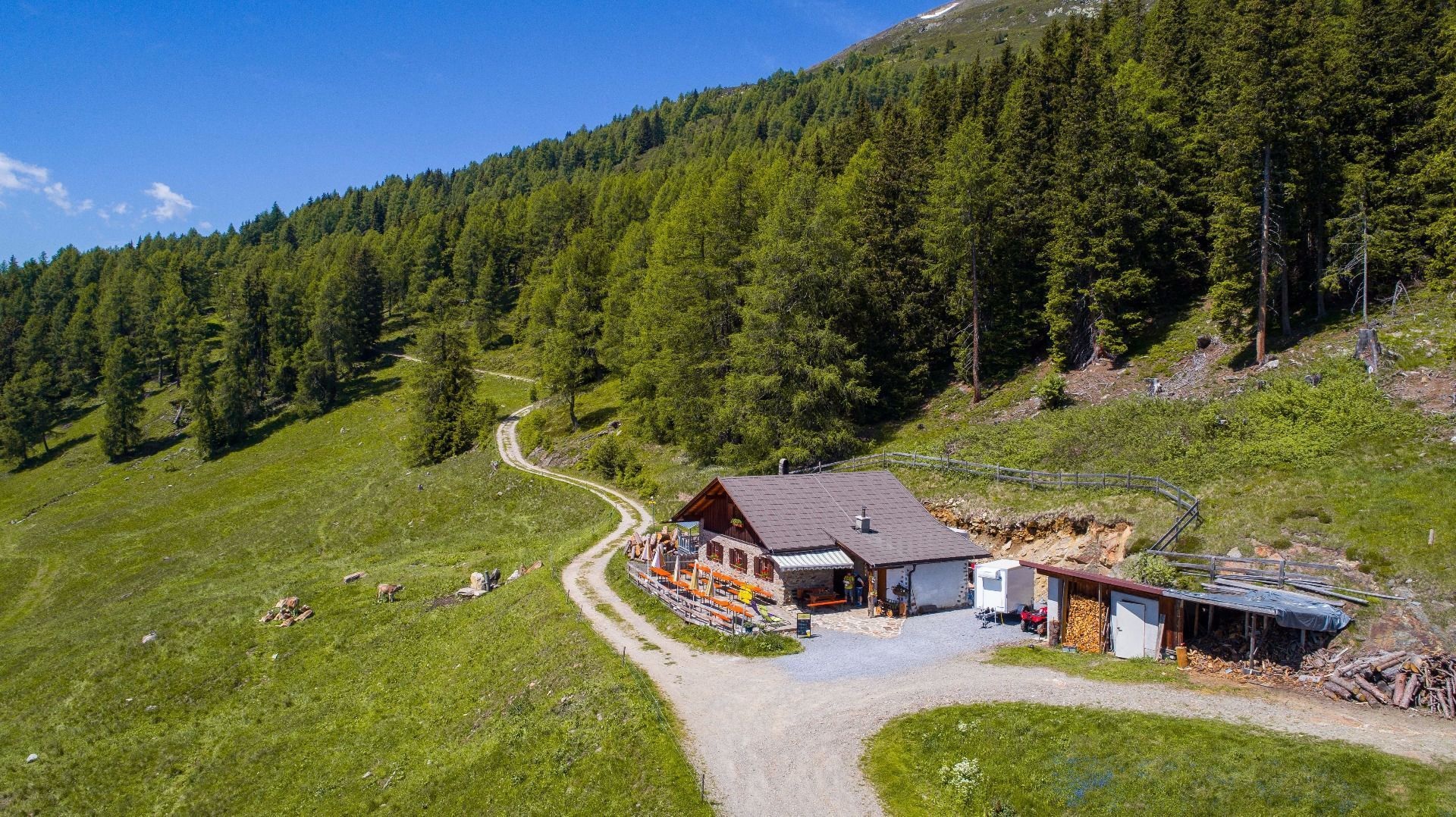
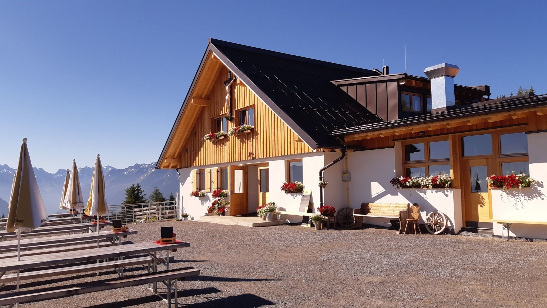
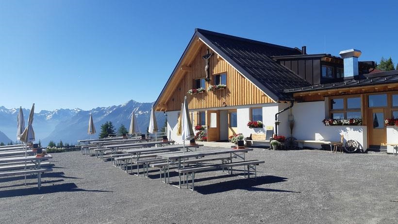
Gogles Alm (2.017m)
An alpine pasture at 2,017 m on the Venet ridge, reached on foot from the Piller saddle.
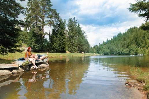
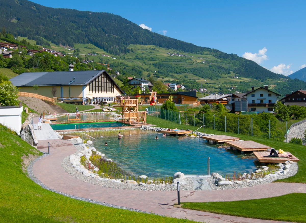
Landschaftsteich Piller
A small landscaped pond on the Piller saddle, part of the Kaunergrat nature park's visitor area.
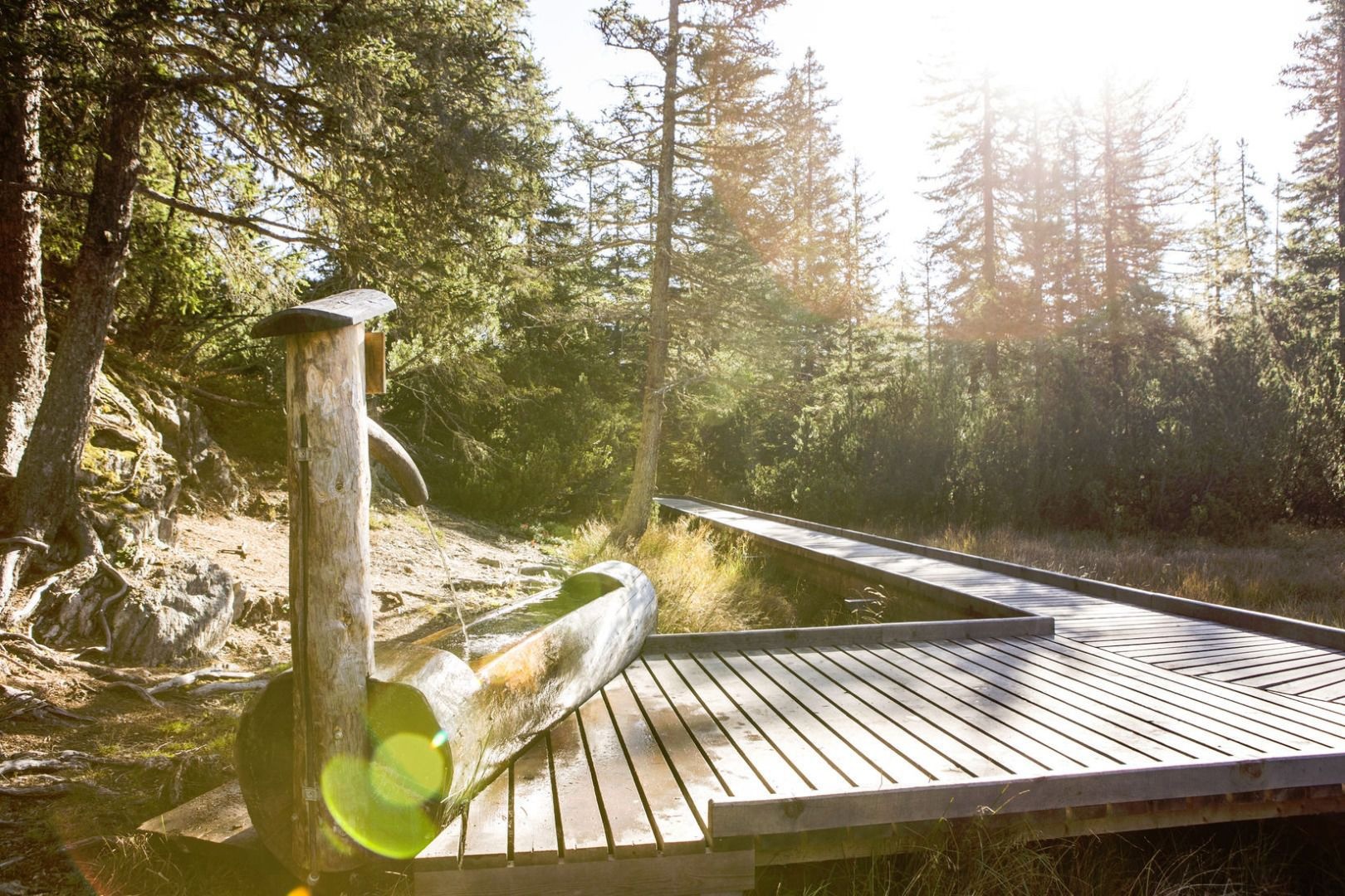
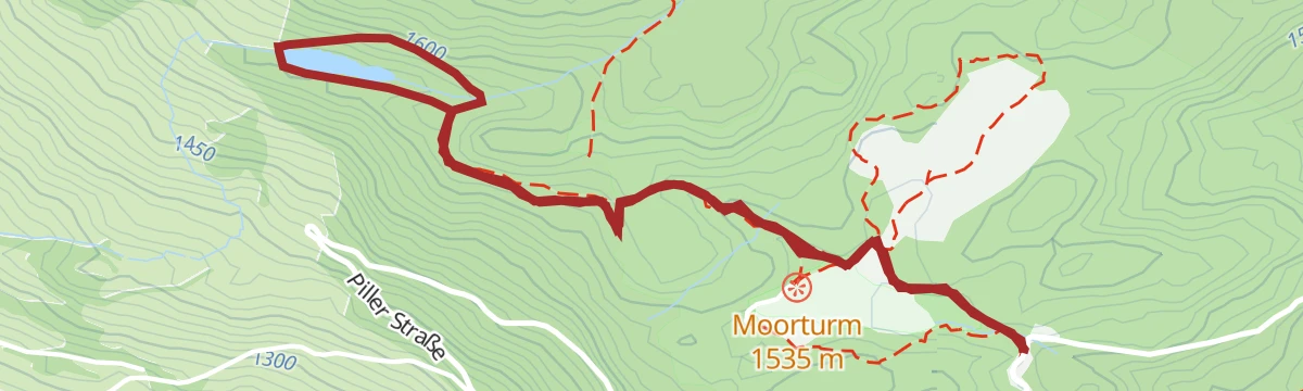
Piller Moor
A raised bog on the Piller saddle at about 1,500 m, a protected relic of the post-glacial landscape.
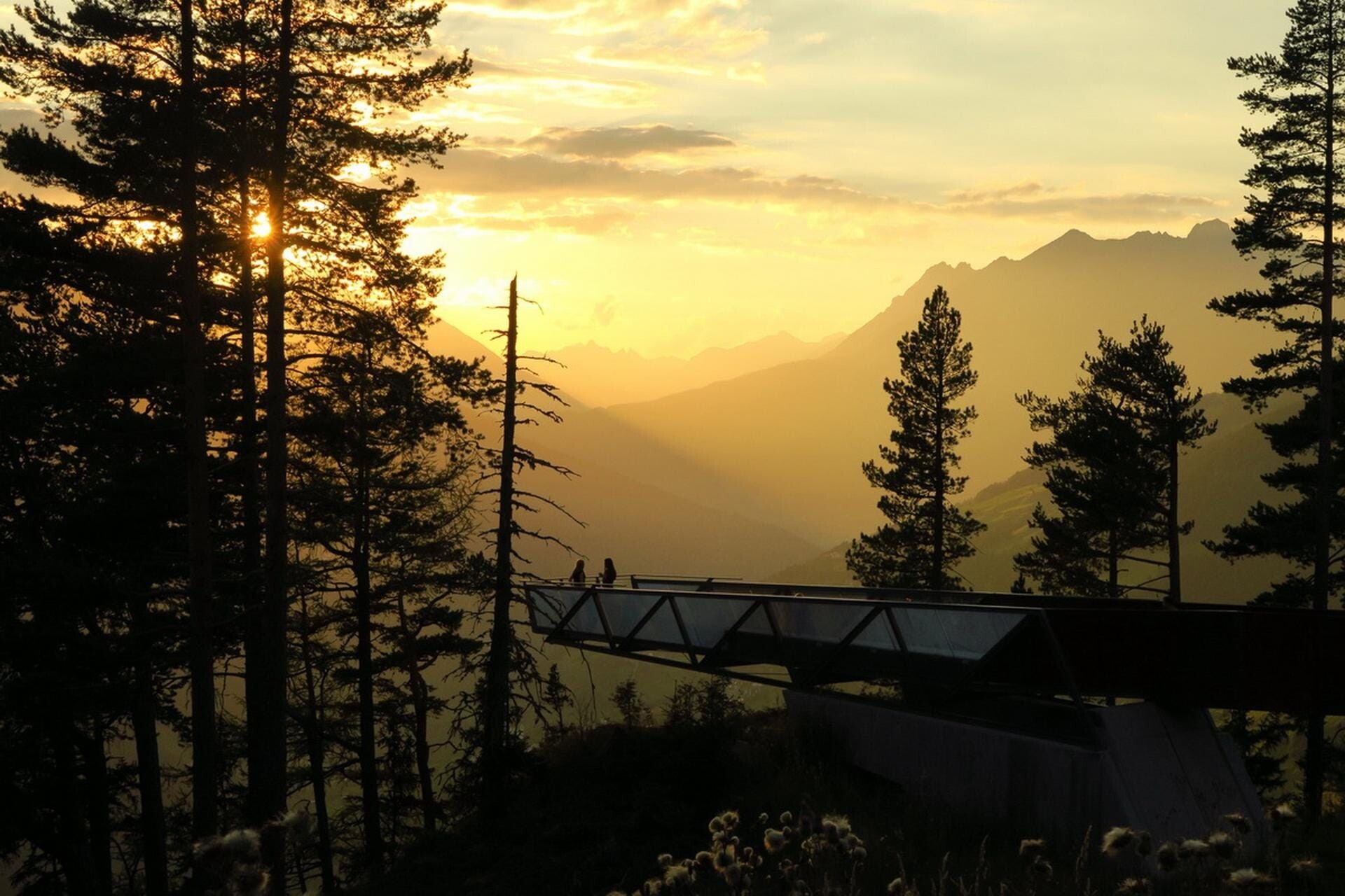
Aussichtsplattform Gacher Blick
A barrier-free viewing platform on the Piller saddle, projecting over the slope above the Inn valley.
Ausstellung Magie der Vielfalt
An exhibition at the Piller saddle on the biological diversity of the Kaunergrat nature park.
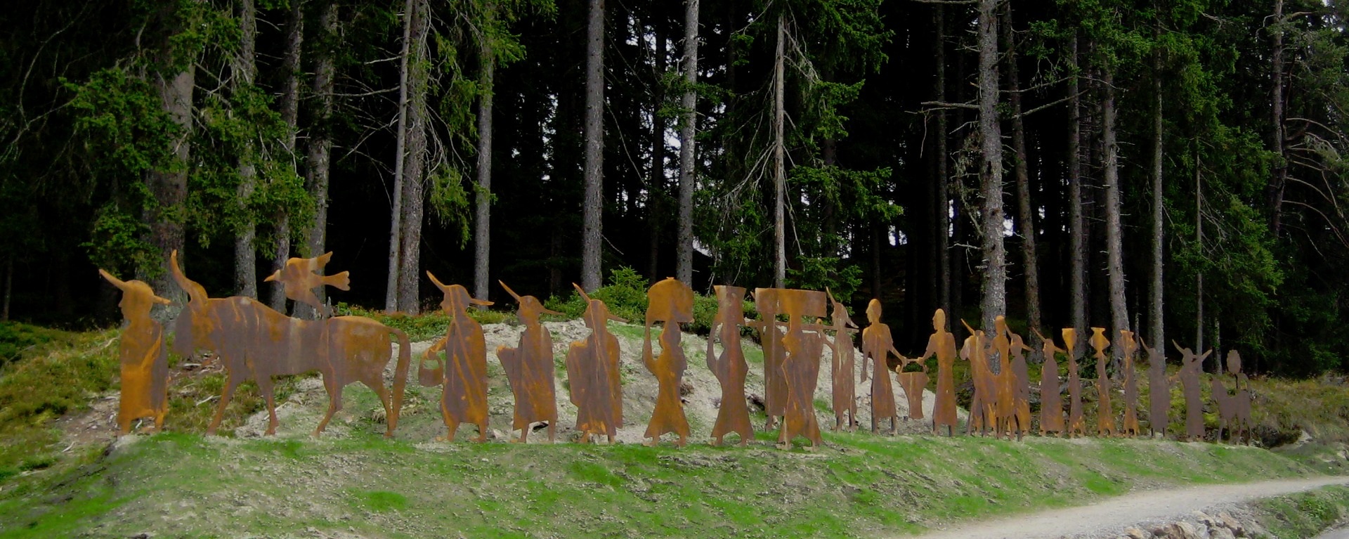
Brandopferplatz Piller Sattel
A prehistoric burnt-offering site on the Piller saddle, in use from the Bronze Age into the Roman period.
Jausenstation Fischteich Piller (1.400 m)
A snack station at 1,400 m beside the fishing pond on the Piller saddle.
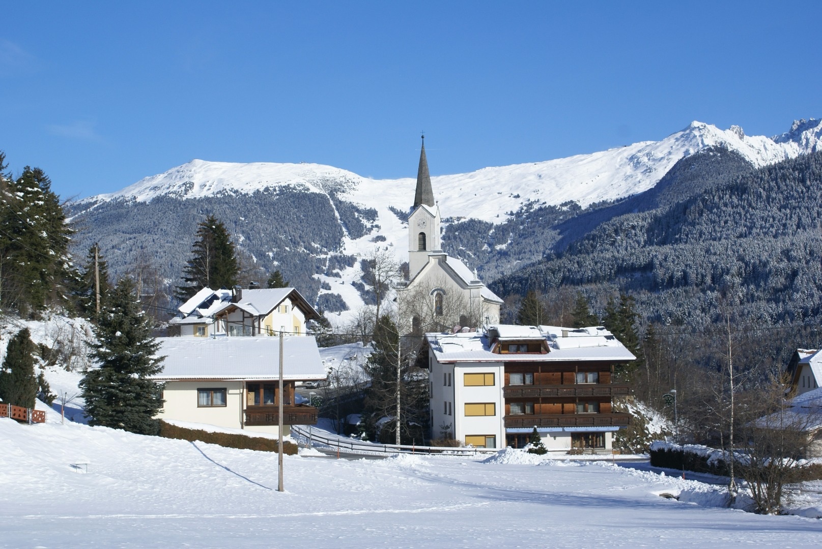
Kaplaneikirche Maria Schnee in Piller
The chaplaincy church of Piller, dedicated to Our Lady of the Snows.
Café Obladis
4.8 km away, in Ladis
A café at Obladis, the hamlet in the woods above Ladis known for its old mineral spring, at the quiet edge of Serfaus-Fiss-Ladis.
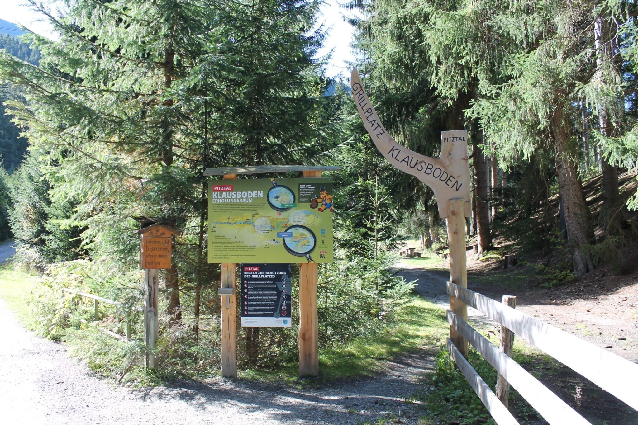
Erholungsraum Klausboden
5.1 km away, in Wenns
A quiet recreation area at Klausboden on the Piller plateau, with benches and short walking loops.
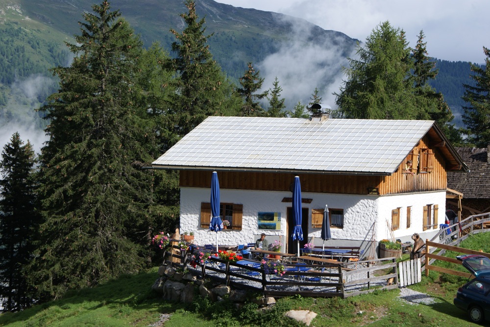
Larcher Alm (1.814 m)
5.6 km away, in Wenns
An alpine pasture at 1,814 m on the Venet slope above Wenns.
Kielebergalm (1.767 m)
5.9 km away, in Wenns
An alpine pasture at 1,767 m between the Piller saddle and the Pitztal.
Venetalm (1.994 m)
7.4 km away, in Wenns
An alpine pasture at 1,994 m on the Venet, the ridge separating the Pitztal from the Inn valley.
Imsterberger Venetalm
7.5 km away, in Wenns
An alpine pasture on the Venet slopes above Imsterberg, a summer refreshment stop for walkers in the Imst region.
Nothing of this kind in Fließ.
Routes
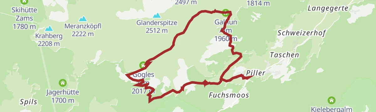
Gogles Alm - Larcher Alm
Level high path from the Gogles Alm to the Larcher Alm above Fließ, with the Galflun Alm on the way.
- 4.3 km
- Distance
- 132 m
- Ascent
- 1 h 32 min
- Duration
- 21
- Check-ins
1) Almwanderung Venet
A 12 km walk on the Venet above Fließ, linking the Galflun Alm, the Fließer Schihütte and the Gogles Alm with 800 m of climbing.
- 12.0 km
- Distance
- 795 m
- Ascent
- 5 h 22 min
- Duration
- 15
- Check-ins
Venet-Rundwanderweg - Start Audershof/Wenns
A full circuit of the Venet massif from Audershof above Wenns, stringing together the Glanderspitze, Kreuzjoch and a chain of alms — Gogles, Larcher, Venetalm, Galflun — in one very long panoramic day.
- 26.0 km
- Distance
- 1 475 m
- Ascent
- 10 h 24 min
- Duration
- 55
- Check-ins
Skitour zur Goglesalm
A moderate ski tour to the Gogles Alm on the Venet slopes above Fließ, mostly on forest tracks and open clearings — a manageable half-day objective.
- 5.2 km
- Distance
- 511 m
- Ascent
- 0 m
- Descent
- 1 h 48 min
- Duration
- 11
- Check-ins
Naturparkhaus Kaunergrat - Gogles Alm 795
A climb on from the pass to the Gogles Alm at 2,017 m, gaining another 500 m above the viewpoints at the Gachenblick.
- 6.1 km
- Distance
- 511 m
- Ascent
- 55 min
- Duration
- 24
- Check-ins
SFL Extrem Tour 7100
Nearly 2,400 m of climbing across the Serfaus-Fiss-Ladis slopes, over the Fisser Joch and up to the Schönjöchl at 2,491 m.
- 57.3 km
- Distance
- 2 369 m
- Ascent
- 7 h 19 min
- Duration
- 133
- Check-ins
St. Anton - Kaunertaler Gletscher - St. Anton
A 104 km road ride from the Arlberg across to the Kaunertal and up the glacier road to 2,750 m, over 4,000 m of climbing in the day.
- 156.4 km
- Distance
- 4 157 m
- Ascent
- 17 h 48 min
- Duration
- 86
- Check-ins
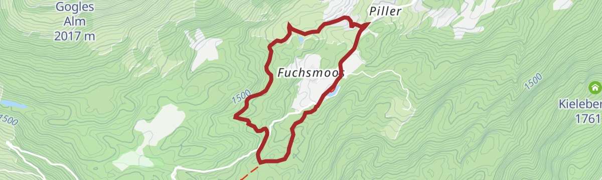
Rund um das Naturparkhaus - Vom Naturparkhaus nach Fließ
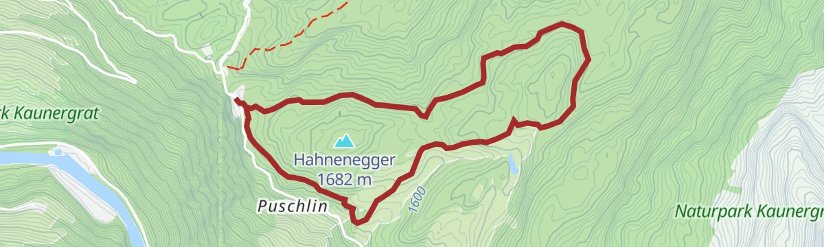
Easy walk from the nature park house on the Pillerhöhe down to Fließ, passing the Gachenblick viewpoint and the Waldweiher pond.
- 5.6 km
- Distance
- 62 m
- Ascent
- 1 h 56 min
- Duration
- 13
- Check-ins
 Pillerhöhe 1 590 m
 Pillerhöhe 1 559 m
 Gachenblick 1 576 m
 Waldweiher 1 552 m
5) Almwanderung Venet
Second variant of the Venet pasture walk, 12.4 km with 812 m of climbing by the Fließer Schihütte and the Gogles Alm.
- 12.4 km
- Distance
- 802 m
- Ascent
- 5 h 26 min
- Duration
- 15
- Check-ins
Venet-Rundwanderweg - Start Plattenrain/Arzl
The Venet circuit begun from Plattenrain above Arzl: a very long ridge-and-alm round over the Glanderspitze and Kreuzjoch, with the Gogles, Larcher, Venet and Galflun alms spaced along the way.
- 26.0 km
- Distance
- 1 476 m
- Ascent
- 10 h 24 min
- Duration
- 55
- Check-ins
7114 | Piller - Naturparkhaus Kaunergrat
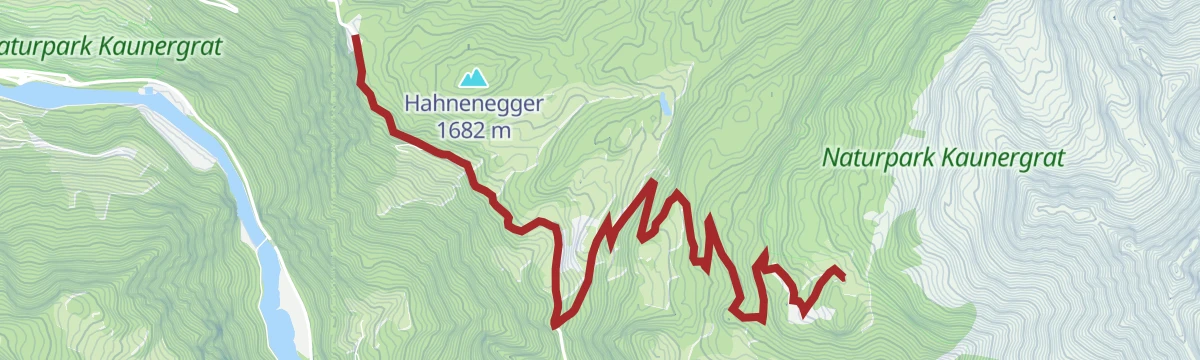
A short forest-road climb up to the Pillerhöhe and the nature-park house at the Gachenblick, 466 m of ascent in under 6 km.
- 5.8 km
- Distance
- 321 m
- Ascent
- 44 min
- Duration
- 13
- Check-ins
SFL Extrem Enduro Tour 7100
A big enduro traverse across the Fisser Joch and the Schönjoch, both near 2,450 m, with over 2,000 m of climbing in the day.
- 52.3 km
- Distance
- 1 825 m
- Ascent
- 6 h 22 min
- Duration
- 125
- Check-ins
Piller Runde
A long road loop over the Pillerhöhe, dropping to Prutz in the Inn valley and climbing again to Fiss, with over 2,000 m of ascent.
- 83.9 km
- Distance
- 2 090 m
- Ascent
- 9 h 25 min
- Duration
- 33
- Check-ins
große Harberundwanderung
The longer of the two Harber loops on the Pillerhöhe, 6.5 km of easy walking by the Gachenblick viewpoint.
- 6.5 km
- Distance
- 128 m
- Ascent
- 1 h 50 min
- Duration
- 9
- Check-ins
1) Piller Moor - Naturparkhaus - Kult-ur-weg
Round on the Pillerhöhe linking the Piller bog, the nature park house and the culture trail, 8.6 km with 343 m of climbing.
- 8.6 km
- Distance
- 322 m
- Ascent
- 2 h 48 min
- Duration
- 13
- Check-ins
Rundwanderung Fischteich - Gogles Alm - Glanderspitze – Pillerkreuz – Galflun Alm
Big round from the Piller fish pond by the Gogles Alm to the Glanderspitze, returning over the Pillerkreuz and the Galflun Alm, with 1,318 m of ascent.
- 15.1 km
- Distance
- 1 174 m
- Ascent
- 7 h 36 min
- Duration
- 28
- Check-ins
Variante Naturparkhaus Kaunergrat - Aifner Alm
A variant climb from the nature-park house up to the Aifner Alm at 1,974 m, on forest roads above the Pillerhöhe.
- 7.4 km
- Distance
- 485 m
- Ascent
- 58 min
- Duration
- 13
- Check-ins
Gravelrunde Venetmassiv
A gravel loop around the Venet massif crossing the Pillerhöhe at 1,559 m, with the Gachenblick and the Gasthof Kronburg on the way back.
- 56.6 km
- Distance
- 1 203 m
- Ascent
- 6 h 11 min
- Duration
- 20
- Check-ins
- Pillerhöhe 1 590 m
- Pillerhöhe 1 559 m
- Gachenblick 1 576 m
- Gasthof Kronburg 938 m
- Info-Point Pitztal 750 m
- Zweiter Weiher 920 m
- +2
kleine Harberundwanderung
Short Harber loop above the Pillerhöhe, 3.6 km with barely 100 m of climbing to the Gachenblick.
- 3.6 km
- Distance
- 79 m
- Ascent
- 1 h 3 min
- Duration
- 9
- Check-ins
2) Piller Moor - Naturparkhaus - Kult-ur-weg
Variant of the Piller bog and culture-trail round, 8.6 km over the Pillerhöhe with the Gachenblick as the high point.
- 8.6 km
- Distance
- 319 m
- Ascent
- 2 h 47 min
- Duration
- 13
- Check-ins
Almenwanderung am Venet
Harder hut-to-hut round on the Venet, 12.9 km and 933 m of climbing linking the Gogles Alm, the Larcher Alm and the Fließer Schihütte.
- 12.9 km
- Distance
- 826 m
- Ascent
- 5 h 37 min
- Duration
- 21
- Check-ins
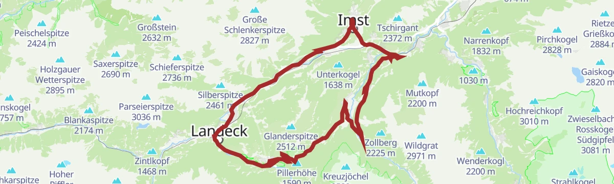
Pillerrunde
A big loop through the Inn valley and the Pitztal mouth, climbing over the Pillerhöhe pass before the run back to Imst.
- 65.8 km
- Distance
- 1 587 m
- Ascent
- 7 h 20 min
- Duration
- 11
- Check-ins
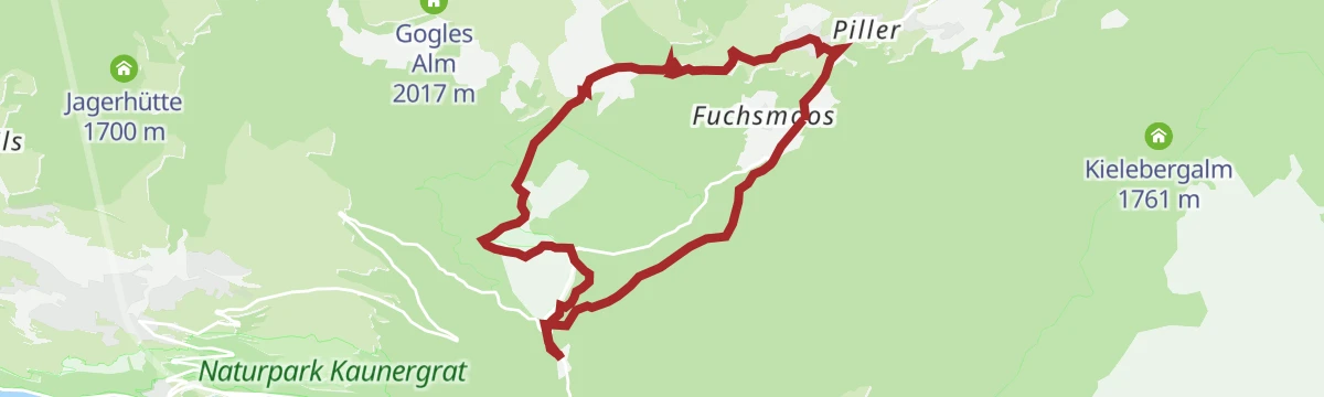
2) Piller Fischteich
Easy 4.5 km walk out to the fish pond at Piller and back, with 144 m of climbing.
- 4.5 km
- Distance
- 115 m
- Ascent
- 1 h 20 min
- Duration
4) Harber Wiesen - Naturparkhaus
Route across the Harber meadows to the nature park house on the Pillerhöhe, 8.1 km with 360 m of ascent.
- 8.1 km
- Distance
- 325 m
- Ascent
- 2 h 42 min
- Duration
- 13
- Check-ins
Wanderung zur Aifner Alm und Aifenspitzen
Long day from the Pillerhöhe to the Aifner Alm and on to the Kleine Aifnerspitze, 17.6 km with 1,240 m of climbing.
- 17.6 km
- Distance
- 1 178 m
- Ascent
- 7 h 56 min
- Duration
- 16
- Check-ins
Hochgallmigg Enduro Tour 758
An enduro tour to Hochgallmigg over the Falterjöchl, taking in the Mannawald hut at 1,541 m.
- 47.1 km
- Distance
- 1 484 m
- Ascent
- 5 h 38 min
- Duration
- 5
- Check-ins
3) Piller Fischteich
Second short loop out to the Piller fish pond, 4.5 km with 135 m of gentle climbing.
- 4.5 km
- Distance
- 99 m
- Ascent
- 1 h 18 min
- Duration
Rundwanderung Kult(Ur)Weg
Culture-trail circuit over the Pillerhöhe past the Gachenblick, 8 km with 347 m of climbing.
- 8.0 km
- Distance
- 285 m
- Ascent
- 2 h 35 min
- Duration
- 13
- Check-ins
Taschen - Galflun Alm - Larcher Alm – Gstoanigkapelle - Taschen
Round of 12.2 km from Taschen with 914 m of climb over the Galflun Alm and Larcher Alm, coming back by the Gstoanigkapelle.
- 12.2 km
- Distance
- 852 m
- Ascent
- 5 h 41 min
- Duration
- 10
- Check-ins
Hochgallmigg Tour 758
The shorter way to Hochgallmigg above Fließ, crossing the Falterjöchl with the Fiss lifts nearby.
- 36.7 km
- Distance
- 1 450 m
- Ascent
- 4 h 37 min
- Duration
- 5
- Check-ins
Erlebniswanderung Piller Moor
Short discovery walk through the raised bog at Piller, 2.8 km with under 100 m of climbing.
- 2.8 km
- Distance
- 42 m
- Ascent
- 46 min
- Duration
Wanderung vom Piller Moor zur Gogles Alm
Walk from the Piller bog up to the Gogles Alm, 521 m of climbing with the Fließer Schihütte on the way.
- 8.5 km
- Distance
- 491 m
- Ascent
- 3 h 26 min
- Duration
- 13
- Check-ins
Rundwanderung Klausboden - Kielebergalm - Aifnerspitze – Aifner Alm
Demanding 14.8 km round from Klausboden with nearly 1,300 m of climb by the Kielebergalm to the Kleine Aifnerspitze and down past the Aifner Alm.
- 14.8 km
- Distance
- 1 280 m
- Ascent
- 8 h 8 min
- Duration
- 9
- Check-ins
Rundwanderung Landschaftsteich Piller
A 2.4 km stroll around the landscaped pond at Piller, nearly level throughout.
- 2.4 km
- Distance
- 51 m
- Ascent
- 41 min
- Duration
Wanderung zur Gogles Alm
A medium walk on the slopes above Fließ that passes the Fließer Schihütte on the way up to the Gogles Alm.
- 8.2 km
- Distance
- 518 m
- Ascent
- 3 h 33 min
- Duration
- 13
- Check-ins
Rundwanderung Landschaftsteich Piller - Aifner Alm – Kreuzjöchl – Kielebergalm
Demanding 16 km round from the Piller pond by the Aifner Alm over the Kreuzjöchel to the Kielebergalm, with nearly 1,400 m of climbing.
- 16.1 km
- Distance
- 1 316 m
- Ascent
- 8 h 26 min
- Duration
- 7
- Check-ins
Rundwanderung Piller
Very short village loop at Piller, 2 km with 77 m of climbing to go at.
- 2.0 km
- Distance
- 46 m
- Ascent
- 35 min
- Duration
Matzlewald - Kielebergalm - Naturparkhaus am Gachenblick
A 10.6 km route from the Matzlewald over the Kielebergalm and the Pillerhöhe to the Naturparkhaus at Gachenblick, 736 m of climb.
- 10.6 km
- Distance
- 707 m
- Ascent
- 3 h 55 min
- Duration
- 11
- Check-ins
1) Kieleberg Alm und Aifner Alm
Demanding 14.3 km day linking the Kielebergalm and the Aifner Alm, with 1,247 m of climb on the sunny flank above Wenns.
- 14.4 km
- Distance
- 1 244 m
- Ascent
- 7 h 53 min
- Duration
- 6
- Check-ins
Wanderung zum Waldweiher
Short, easy walk through the woods above Fließ, turning at the small Waldweiher pond.
- 4.3 km
- Distance
- 116 m
- Ascent
- 1 h 17 min
- Duration
- Waldweiher 1 552 m
Panoramawanderung Kielebergalm
Walk over the Pillerhöhe to the Kielebergalm, with the Gachenblick lookout along the way and 327 m of climbing in all.
- 10.6 km
- Distance
- 291 m
- Ascent
- 3 h 37 min
- Duration
- 11
- Check-ins
3) Kieleberg und Aifner Alm
A 13.6 km round over the Kieleberg linking the Kielebergalm with the Aifner Alm, with just over 1,000 m of ascent.
- 13.6 km
- Distance
- 989 m
- Ascent
- 6 h 31 min
- Duration
- 6
- Check-ins
Klausboden - Naturparkhaus am Gachenblick
From Klausboden a 448 m climb over the Pillerhöhe to the Naturparkhaus at Gachenblick, 5.2 km one way.
- 5.2 km
- Distance
- 426 m
- Ascent
- 2 h 6 min
- Duration
- 9
- Check-ins
No routes of this kind in Fließ yet.
The region's own picks

Featured route
Gogles Alm - Larcher Alm
Level high path from the Gogles Alm to the Larcher Alm above Fließ, with the Galflun Alm on the way.
Planning a trip to Fließ?
Everything else Tyrol has, in one place


Take Fließ with you into the mountains
Every route on this page with 3D terrain, GPX navigation and offline maps — including the valleys with no signal.
Data sources
- Official website: pitztal.com ↗
- Routes and highlights: Tourismusverband Pitztal, Serfaus-Fiss-Ladis, Imst Tourismus, St. Anton am Arlberg
- Published as open data by the tourist boards named above.
- Region summary generated from the board's own material.
