
 Cable car
 Historic site















Curated by Kitzbüheler Alpen Tourismus
Fieberbrunn
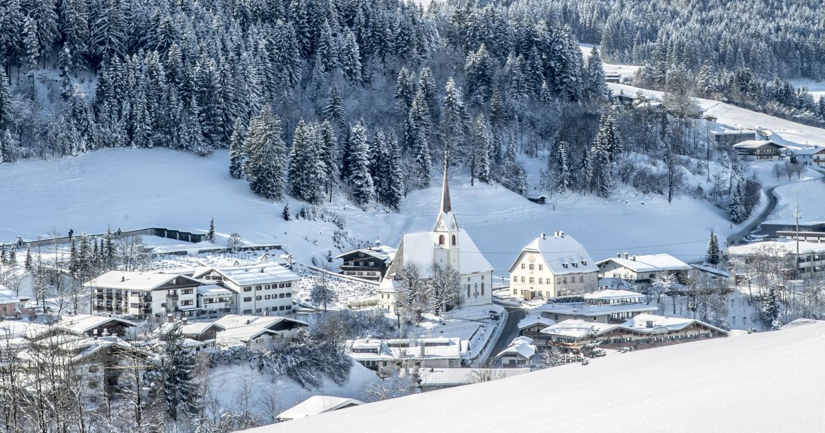
The largest village of the Pillerseetal in the Kitzbühel Alps, a two-season resort with freeride terrain linked to Saalbach and the moor lake Lauchsee.
- 4Highlights
- 68Routes
- Featured summit · Buchensteinwand
Highlights
11 from neighbouring places
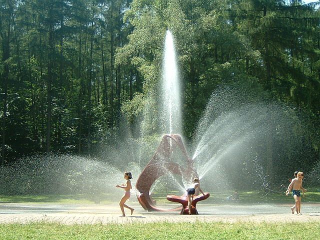
Kinderspielplatz | Kindergarten Fieberbrunn
A playground at the kindergarten in Fieberbrunn, also usable as a play area for visiting families.
Kinderspielplatz | Pfaffenschwendt
A children's playground serving the Pfaffenschwendt hamlet of Fieberbrunn in the Pillersee region.
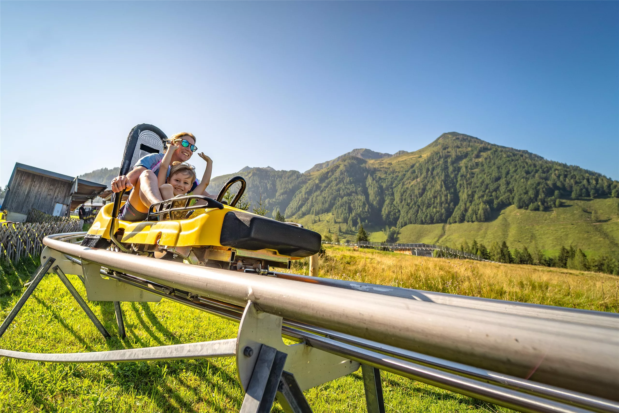
Bergbahnen Fieberbrunn
The lift company serving Fieberbrunn in the Pillerseetal, whose gondolas connect the village to the Saalbach-Hinterglemm ski circuit and to summer walking terrain.
MEC Modelleisenbahnclub Fieberbrunn
A model railway club in Fieberbrunn whose members show detailed layouts to visitors in the Pillerseetal village.
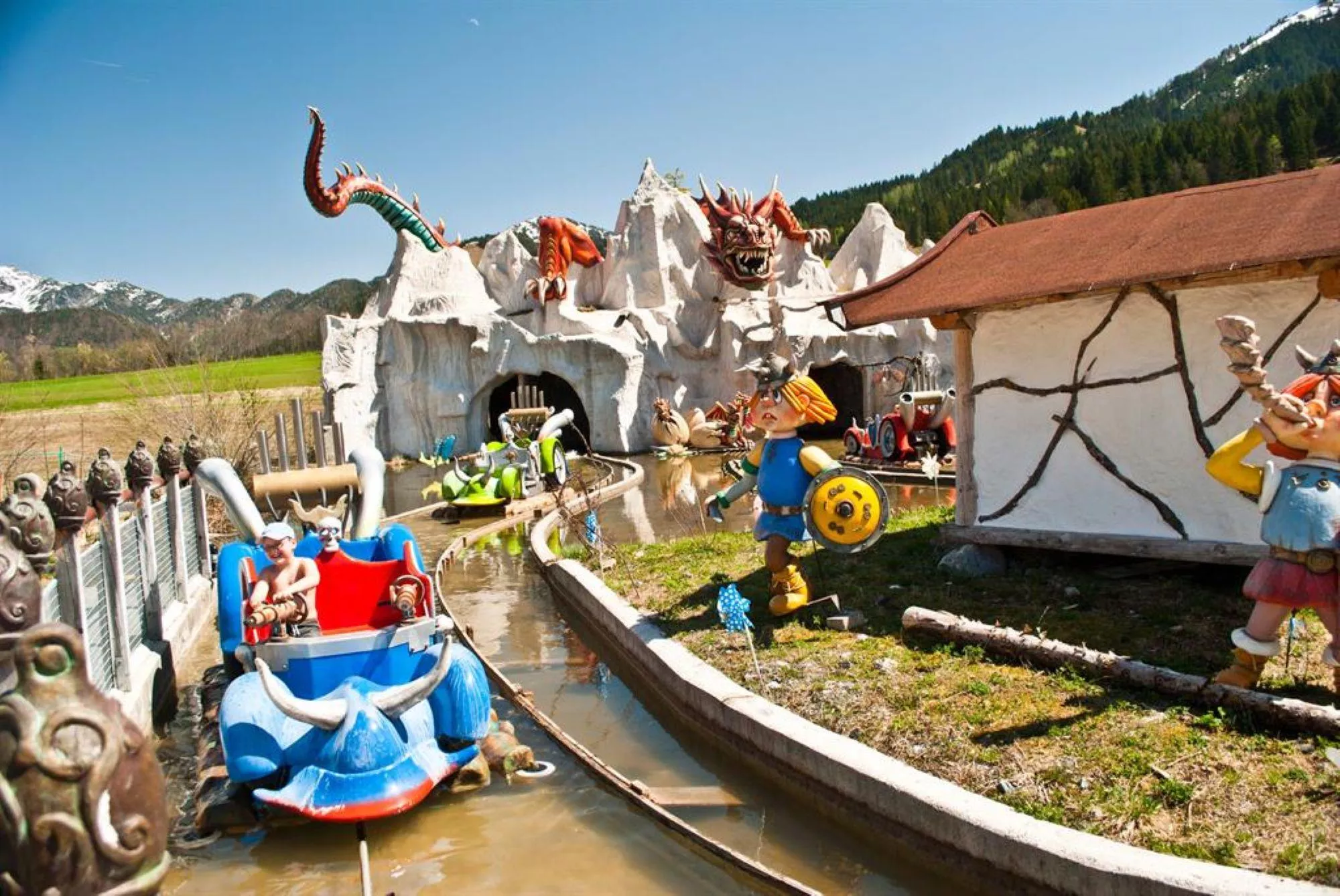
Erlebnispark Familienland Pillersee
5 km away, in St. Jakob in Haus
A family amusement park at St. Jakob in Haus in the Pillerseetal, with rides, water features and play areas near the Pillersee.
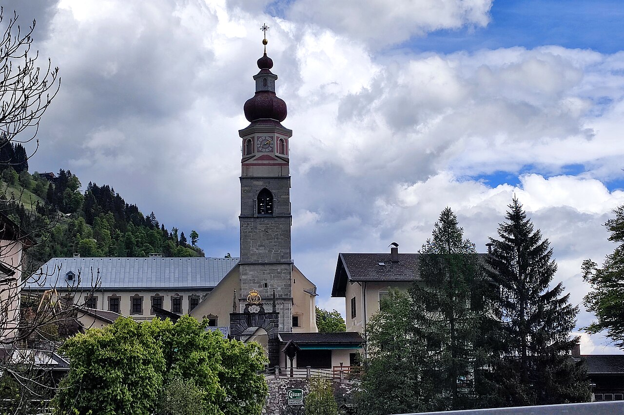
Pfarrkirche Maria Schnee
5.4 km away, in Hochfilzen
The parish church of Hochfilzen in the Pillersee region, dedicated to Our Lady of the Snows, a fitting patron for a village at 959 m.
Spielberghaus
6.6 km away, in Saalbach-Hinterglemm
A mountain inn on the Spielberg in the Kitzbüheler Alpen, reached on foot or by bike in summer and known for its winter toboggan run.
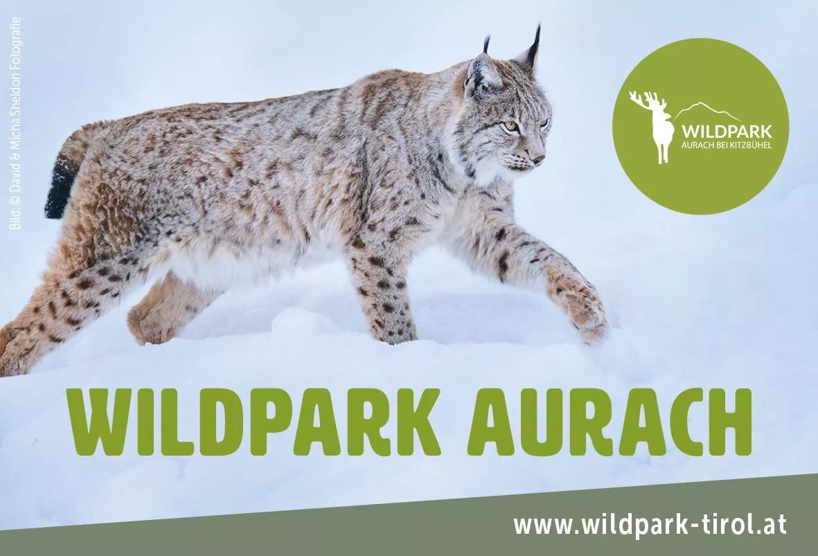
Wildpark Aurach
8.4 km away, in Aurach bei Kitzbühel
A game park in the hills above Aurach near Kitzbühel, home to deer and many other animal species along an easy walking circuit.
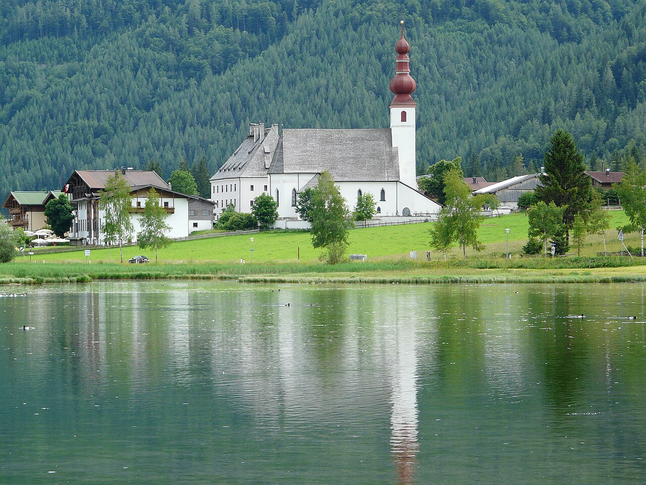
Pfarrkirche St. Ulrich am Pillersee
8.7 km away, in St. Ulrich am Pillersee
The parish church of St. Ulrich am Pillersee, a village church of medieval origin standing near the lake that names the place.
Spielplatz Alpenhaus
9.2 km away, in Kitzbühel
A playground at the Alpenhaus on the Kitzbüheler Horn, giving children a play stop at the mountain restaurant.
Panoramastraße zum Kitzbüheler Horn
9.2 km away, in Kitzbühel
A toll road winding up the Kitzbüheler Horn from the valley, giving access to the alpine flower garden and the summit area.
Kitzbüheler Horn
9.3 km away, in Kitzbühel
The 1,996 m peak above Kitzbühel, reached by cable car and a toll road, with an alpine flower garden below the summit and wide views of the Kitzbühel Alps.
BichlAlm
9.5 km away, in Kitzbühel
A mountain restaurant on the Bichlalm east of Kitzbühel, a quieter corner of the mountains away from the main Hahnenkamm slopes.
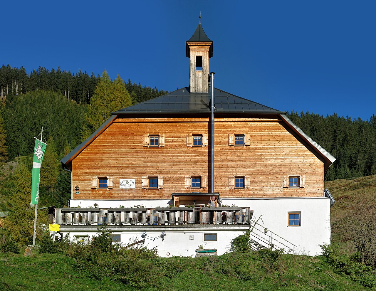
Kelchalm | Bochumer Hütte
9.7 km away, in Aurach bei Kitzbühel
A mountain hut in the former Kelchalm mining area above Aurach bei Kitzbühel, offering meals and simple overnight accommodation.
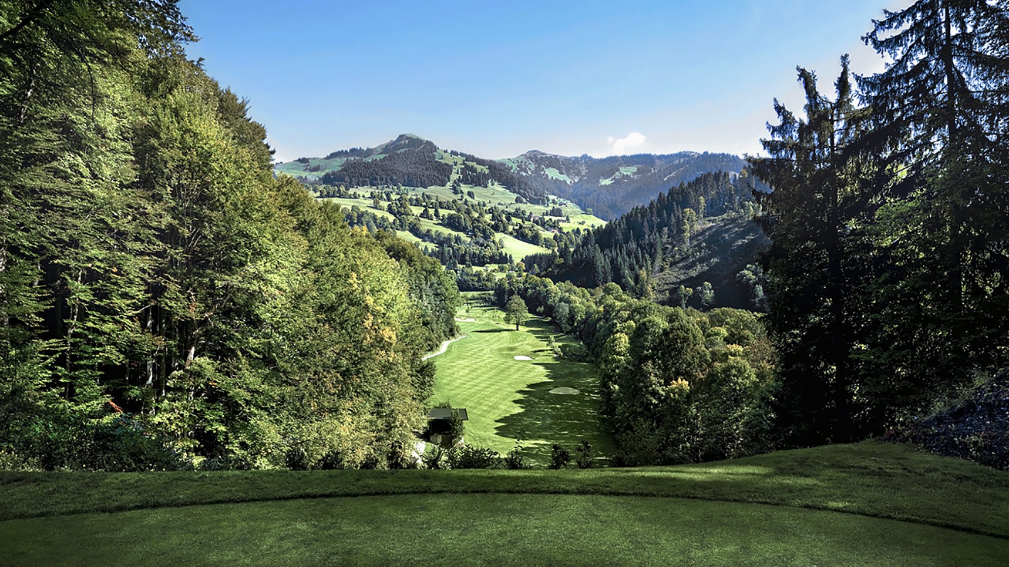
PGA Golfschule Eichenheim
10.2 km away, in Aurach bei Kitzbühel
A PGA golf school at the Eichenheim course in Kitzbühel, offering lessons from beginner clinics to individual coaching.
Nothing of this kind in Fieberbrunn.
Routes
50 routes, an even mix of activities · see the rest on kitzbueheler-alpen.com ↗
Klettersteig Himmel & Henne Fieberbrunn
Well-equipped via ferrata above Fieberbrunn with an A-grade family variant and B to D pitches on the way to the Henne, passing the Wildsee and the Wildseeloderhaus.
- 7.1 km
- Distance
- 651 m
- Ascent
- 5 h 11 min
- Duration
- 32
- Check-ins
Klettersteig Marokka Fieberbrunn
Sporting cabled route to the top of the Marokka, with exposed sections and a swaying rope bridge, reached from the Wildseeloderhaus by the Wildsee.
- 5.8 km
- Distance
- 480 m
- Ascent
- 3 h 56 min
- Duration
- 23
- Check-ins
Panorama-/Blumenweg Buchensteinwand
Level summit loop on the Buchensteinwand, circling near the Jakobskreuz summit cross with Pillersee valley views and flower plantings.
- 576 m
- Distance
- 16 m
- Ascent
- 10 min
- Duration
- 32
- Check-ins
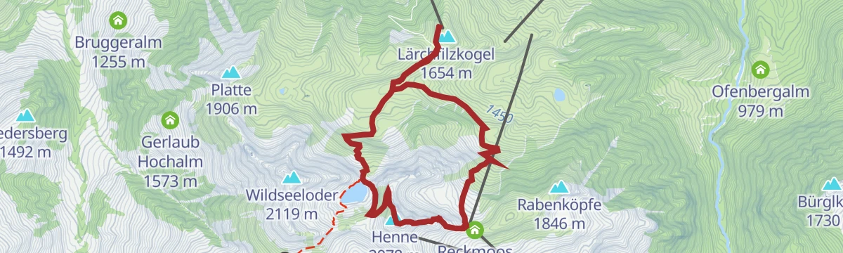
Wildseelodersee - Blumensteig- Streuböden
From Fieberbrunn's middle station up past the Laerchfilzhochalm to the protected mountain lake at the Wildseeloderhaus, returning on a flower-lined path over the Griessenbodenalm.
- 10.1 km
- Distance
- 506 m
- Ascent
- 3 h 42 min
- Duration
- 54
- Check-ins
Wildseeloder - Bichlalm - Kitzbühel
Long crossing from the Wildseeloderhaus above Fieberbrunn over the Lärchfilzkogel and Bichlalm down to Kitzbühel, a full-day ridge and alm traverse.
- 21.0 km
- Distance
- 869 m
- Ascent
- 7 h 4 min
- Duration
- 42
- Check-ins
Streuböden Line
A short, easy flow trail above Fieberbrunn, dropping from the lift mid-station at about 1,200 m towards the Obingleitnlift.
- 2.6 km
- Distance
- 5 m
- Ascent
- 14 min
- Duration
- 11
- Check-ins
Streubödentour 260
A steep pull on service roads out of Fieberbrunn, from the Biwak by D&D and the S4 Alm up to the huts at 1,200 m by the mid-station.
- 4.0 km
- Distance
- 407 m
- Ascent
- 57 min
- Duration
- 34
- Check-ins
Panorama Alm Saalbach Runde
A big alm-road circuit crossing the Schanzl from Fieberbrunn to the Spielberghaus and the Bergeralm, with the hut at 1,619 m on the way.
- 35.2 km
- Distance
- 1 360 m
- Ascent
- 4 h 25 min
- Duration
- 60
- Check-ins
Schweinestberg Line
An easy, near-level ride on the valley floor at Fieberbrunn, past the Biwak by D&D between the Obingleitnlift and Streuböden stations.
- 3.8 km
- Distance
- 22 m
- Ascent
- 21 min
- Duration
- 3
- Check-ins
3. Etappe KAT Bike Sport+
The third stage of a multi-day traverse of the Kitzbühel Alps, close to 3,000 m of climbing over the Wildalpgatterl, Lärchfilzhochalm and Stanglalm.
- 106.7 km
- Distance
- 2 992 m
- Ascent
- 12 h 18 min
- Duration
- 81
- Check-ins
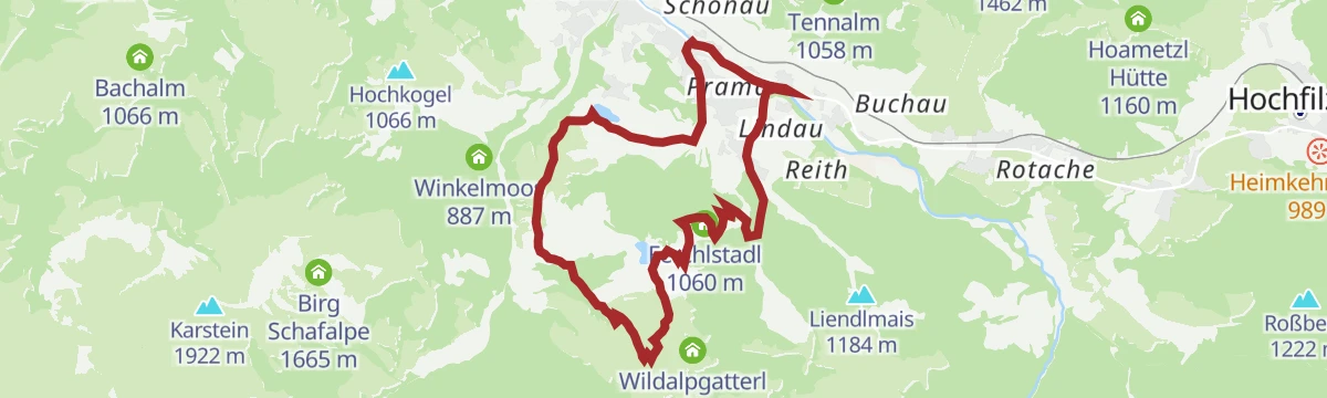
Mittelstation Streuböden - Wildalpgatterl - Jägersteig - Lärchfilzhochalm
A short family leg on Fieberbrunn's mountain, passing the game enclosure at the Wildalpgatterl before reaching a serviced high pasture that makes an easy first mountain lunch stop.
- 2.5 km
- Distance
- 181 m
- Ascent
- 1 h 12 min
- Duration
- 23
- Check-ins
WaiWi Etappe 4: Wildseelodersee - Wildseeloder Gipfel - Fieberbrunn
Final WaiWi stage: from the lake beside the Wildseeloderhaus over the Wildseeloder summit, then a long descent past the Wildalm and Streuböden into Fieberbrunn.
- 11.2 km
- Distance
- 287 m
- Ascent
- 3 h 20 min
- Duration
- 44
- Check-ins
WaiWi Etappe 3: Fieberbrunn - Wildseelodersee
Third WaiWi stage climbing from Fieberbrunn past the Lärchfilzhochalm to the Wildseeloderhaus on the shore of the Wildseelodersee, 1,100 m above the start.
- 8.7 km
- Distance
- 1 096 m
- Ascent
- 6 h 29 min
- Duration
- 41
- Check-ins
Hänsn Line
A short easy flow trail on the lower slopes above Fieberbrunn, ending near the S4 Alm and the Obingleitnlift at the valley station.
- 940 m
- Distance
- 0 m
- Ascent
- 5 min
- Duration
- 9
- Check-ins
243 | Burgeralm - Spielbergalm
A short but steep forest-road climb from the pastures above Fieberbrunn over the Schanzl to the Spielberghaus at 1,320 m.
- 5.8 km
- Distance
- 515 m
- Ascent
- 1 h 14 min
- Duration
- 11
- Check-ins
E-Bike & Climb Himmel & Henne
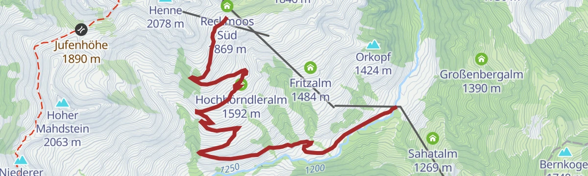
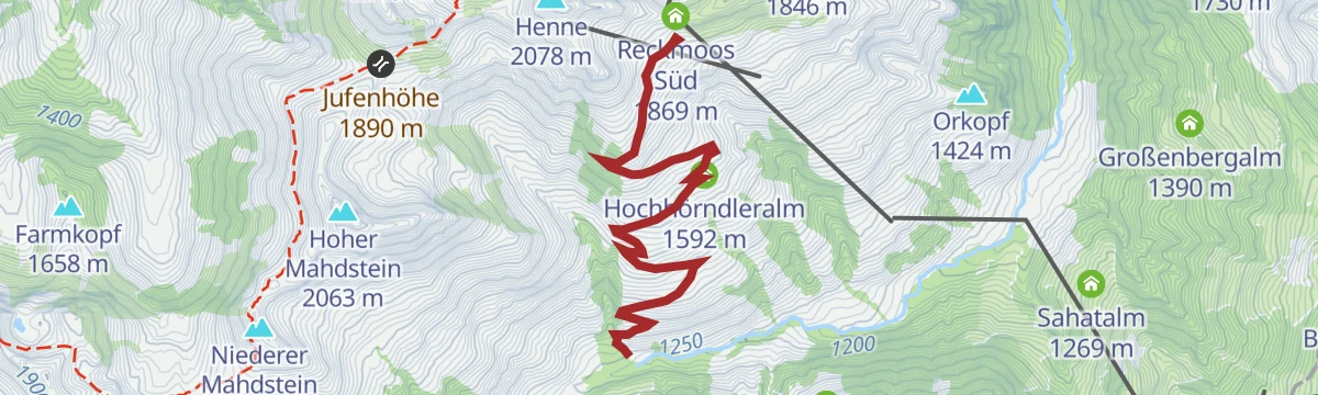
A long e-bike day above Fieberbrunn past the Hörndler Grundalm and the Hochhörndler Hütte to the Reckmoos huts at about 1,870 m.
- 34.9 km
- Distance
- 178 m
- Ascent
- 3 h 16 min
- Duration
- 25
- Check-ins
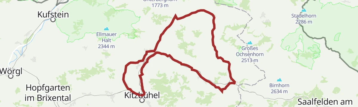
11 Rund um das Kitzbüheler Horn
A long road circuit right around the Horn, from the Glemmtal over the Pass Thurn and back through Kitzbühel on the way home.
- 115.9 km
- Distance
- 1 673 m
- Ascent
- 11 h 51 min
- Duration
- 56
- Check-ins
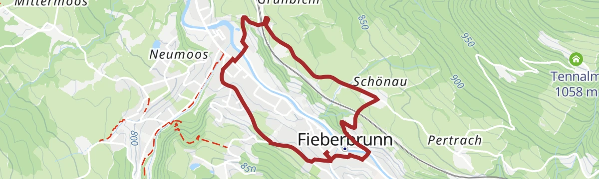
Dorfwanderung Fieberbrunn
Short village stroll around Fieberbrunn's center on mostly level lanes, an easy round past church, old farmhouses and the Infobüro.
- 3.1 km
- Distance
- 90 m
- Ascent
- 57 min
- Duration
- 2
- Check-ins
05 Andreas Widhölzl Runde
Rolling loop above Fieberbrunn named for a local ski-jumping champion, climbing to Streuböden and the Enzianhütte before easing back into the valley.
- 12.2 km
- Distance
- 530 m
- Ascent
- 4 h 10 min
- Duration
- 37
- Check-ins
Umgebung: 4. Etappe KAT Walk Family
Fourth KAT Walk Family stage, from St. Johann in Tirol to Fieberbrunn by way of the Streuböden area and the Enzianhütte.
- 19.3 km
- Distance
- 604 m
- Ascent
- 5 h 52 min
- Duration
- 37
- Check-ins
1. Sektion Iglmoos Trail
A short, easy singletrack descent above Fieberbrunn in Tirol, the first of two linked sections making up the run down.
- 794 m
- Distance
- 0 m
- Ascent
- 4 min
- Duration
Burgeralm - Spielberghaus 243
A short, steep forest-road link between two alms above Fieberbrunn, crossing the Schanzl at the top of the climb.
- 5.8 km
- Distance
- 501 m
- Ascent
- 1 h 12 min
- Duration
- 11
- Check-ins
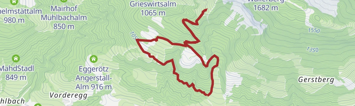
256 | Rundweg Lärchfilzhochalm
A forest-road circuit above Fieberbrunn taking in the Grießenbodenalm, the Wildalm at 1,567 m and the Wildalpgatterl.
- 18.6 km
- Distance
- 907 m
- Ascent
- 2 h 32 min
- Duration
- 23
- Check-ins
Bike & Hike Tour Wildseeloder
A steep ride from Fieberbrunn up past the Lärchfilzhochalm to the lake at 1,847 m, with the peak above it finished on foot.
- 12.3 km
- Distance
- 1 340 m
- Ascent
- 3 h 5 min
- Duration
- 39
- Check-ins
on Tour mit dem Kinderwagen: Mittermoos Runde
Stroller-friendly loop from Fieberbrunn's center through the Mittermoos meadows on wide, gently graded farm lanes.
- 5.1 km
- Distance
- 117 m
- Ascent
- 1 h 29 min
- Duration
- 2
- Check-ins
Wildseeloderhaus - Wildseelodergipfel (2.118m)
Ascent past the Wildalm to the hut on the shore of the Wildsee, finishing with the summit push to 2,118 m high above Fieberbrunn.
- 6.1 km
- Distance
- 629 m
- Ascent
- 3 h 51 min
- Duration
- 36
- Check-ins
Fieberbrunner Höhenweg
Long high-level circuit above the Pillersee valley, crossing the Lärchfilzkogel and the Gebrajoch to the Wildseeloderhaus and its lake before dropping back to Fieberbrunn.
- 26.4 km
- Distance
- 836 m
- Ascent
- 8 h 15 min
- Duration
- 26
- Check-ins
2. Sektion Iglmoos Trail
The lower continuation of the same easy singletrack line above Fieberbrunn, running on down towards the valley floor.
- 896 m
- Distance
- 0 m
- Ascent
- 5 min
- Duration
Hochhörndler Hütte 2020
A steep forest-road climb from the TirolS mid-station above Fieberbrunn, past the Hörndler Grundalm and Hochhörndleralm to a hut at 1,800 m.
- 6.6 km
- Distance
- 751 m
- Ascent
- 1 h 43 min
- Duration
- 10
- Check-ins
Lärchfilzhochalmrunde 256
A high circuit on alm tracks from the centre of Fieberbrunn, linking the Wildalm at 1,567 m with the two Grießenbodenalm huts.
- 23.7 km
- Distance
- 959 m
- Ascent
- 3 h
- Duration
- 23
- Check-ins
Bike & Hike Burgeralm - Spielberghorn - Kleberkopf
A ride out of Fieberbrunn to the Spielbergtörl at 1,671 m, from where the two peaks either side of the pass are climbed on foot.
- 27.9 km
- Distance
- 1 541 m
- Ascent
- 4 h 9 min
- Duration
- 19
- Check-ins
Schreiende Brunnen - Pulvermacher Almhütte
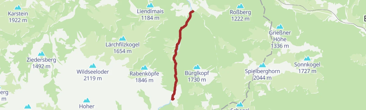
Easy walk up the Hörndlinger Graben to the 'screaming springs', karst outlets that surge audibly after rain, with the Pulvermacherscherm hut as the turnaround point.
- 4.5 km
- Distance
- 246 m
- Ascent
- 1 h 45 min
- Duration
- 1
- Check-ins
WaiWi Etappe 2: St. Ulrich am Pillersee - Buchensteinwand - Fieberbrunn
Second leg of the WaiWi long-distance trail: from St. Ulrich am Pillersee over the Buchensteinwand and past the Tennalm down to Fieberbrunn.
- 15.1 km
- Distance
- 687 m
- Ascent
- 5 h 14 min
- Duration
- 18
- Check-ins
Wanderschuh - Rundwanderung
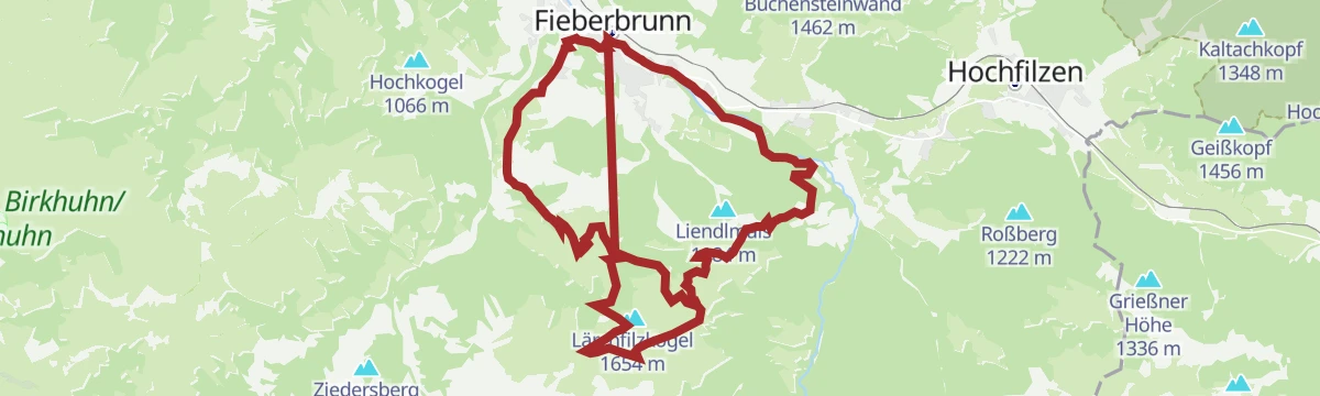
Day-long valley circuit around Fieberbrunn linking the Enzianhütte, the S4 Alm and the moor lake Lauchsee — long on distance, gentle on gradients.
- 26.1 km
- Distance
- 677 m
- Ascent
- 7 h 47 min
- Duration
- 25
- Check-ins
278 | Gerstboden
A forest-road climb on the Fieberbrunn side of the ridge, topping out by the Wetterkreuz and Reiter-Ost lift stations at about 1,620 m.
- 5.7 km
- Distance
- 628 m
- Ascent
- 1 h 27 min
- Duration
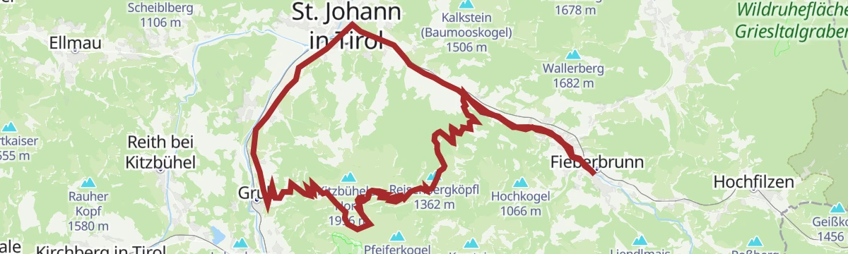
Raintal - Hornköpfl 254 - Kitzbühel 255 - St. Johann i.T. 20 - Fieberbrunn
A long mountain-bike day up to the hut and reservoir above 1,700 m, returning past the Fritzhütte, the Trattalmen and the Obere Reintalalm.
- 47.3 km
- Distance
- 1 420 m
- Ascent
- 5 h 32 min
- Duration
- 19
- Check-ins
 Hornköpfl 1 773 m
 Hornköpflhütte 1 751 m
 Speicherteich Hornköpfl 1 706 m
- Fritzhütte 1 565 m
- Infobüro Fieberbrunn 774 m
- Tourismus Büro 659 m
- +11
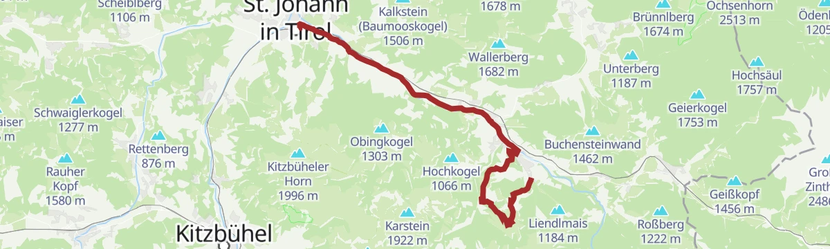
3 Pillersee-Runde
A long road day linking St. Johann in Tirol with Fieberbrunn and Kitzbühel, taking in the Seerestaurant Blattl on the lakeshore.
- 78.4 km
- Distance
- 988 m
- Ascent
- 7 h 53 min
- Duration
- 17
- Check-ins
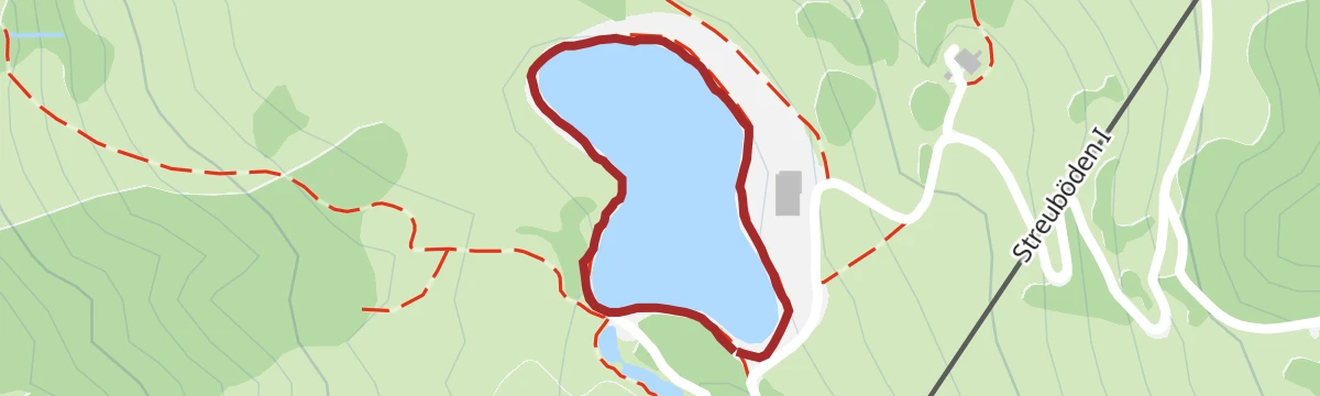
Museum goes wild - digitaler Rundwanderweg
Short digital discovery loop at the Streuböden mid-station, where app-guided stops around the reservoir tell wildlife stories for families.
- 726 m
- Distance
- 14 m
- Ascent
- 12 min
- Duration
Fieberbrunn - Buchensteinwand
Direct ascent from the village past the Tennalm to the summit crowned by the Jakobskreuz, a walk-in summit cross overlooking the Pillerseetal.
- 9.6 km
- Distance
- 675 m
- Ascent
- 4 h 29 min
- Duration
- 17
- Check-ins
Spielberg über Burgeralm
Sustained climb from the Eiserne Hand side over the Burgeralm and the Spielbergtörl to the Spielberghorn, gaining some 1,200 m on the ridge between Tirol and Salzburg.
- 7.9 km
- Distance
- 1 208 m
- Ascent
- 6 h 57 min
- Duration
- 13
- Check-ins
Hörndlingergraben - "Hennerleiter" - Spielberghaus Nr. 259 & 278
A long forest-road tour above Fieberbrunn linking the Pulvermacherscherm, the Luis Alm at 1,580 m and the Burgeralm, crossing the Schanzl.
- 21.5 km
- Distance
- 1 009 m
- Ascent
- 2 h 52 min
- Duration
- 17
- Check-ins
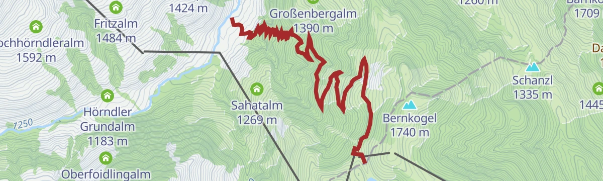
Bike & Hike Burgeralm - Bürglkopf - Bernkogel
A long climb from the centre of Fieberbrunn to the Spielberghaus, where the bike is left for the walk onto the ridge summits.
- 36.0 km
- Distance
- 1 783 m
- Ascent
- 4 h 58 min
- Duration
- 14
- Check-ins
Rohreralm - Hochreit
Quiet walk on forest lanes above the Rosenegg side of Fieberbrunn, climbing gently to the Hochreit plateau and its alm meadows.
- 5.3 km
- Distance
- 337 m
- Ascent
- 2 h 18 min
- Duration
Gästehaus Elisabeth - Buchensteinwand Jakobskreuz
Steep, direct route up the Buchensteinwand to the Jakobskreuz, the walk-in summit cross with views across the Pillerseetal and to the Loferer Steinberge.
- 3.2 km
- Distance
- 625 m
- Ascent
- 3 h 29 min
- Duration
- 12
- Check-ins
Herrgott - Gebrakapelle - Gebragipfel
Relentlessly steep route from Fieberbrunn past the Gebra chapel to the Großer Gebra summit, gaining nearly 1,000 m over a short distance.
- 5.6 km
- Distance
- 986 m
- Ascent
- 5 h 34 min
- Duration
- 4
- Check-ins
Kalksteinradrunde
A long circuit from Going out to the Pillerseetal and back through Kalkstein, with the Fischteich ponds and Das Bergblick on the way.
- 66.9 km
- Distance
- 547 m
- Ascent
- 6 h 27 min
- Duration
- 11
- Check-ins
- Tourist Information Center 756 m
- Tourismusverband Pillerseetal 777 m
- Fischteich 835 m
- Das Bergblick 855 m
- Fischteich 835 m
- Moserbauer 754 m
- +2
Pillerseetal-Runde Gravel
A longer gravel circuit of the whole Pillerseetal, taking in the Wiesensee and Fieberbrunn.
- 50.9 km
- Distance
- 676 m
- Ascent
- 5 h 9 min
- Duration
- 9
- Check-ins
- Tourismusverband Pillerseetal 777 m
- Infobüro Fieberbrunn 774 m
- Fischteich 835 m
- Wiesensee 930 m
- Fischteich 835 m
- Moserbauer 754 m
- +2
Hike Hochhörndler Hütte
Steady forest climb out of the Hörndlinger Graben to a small hut on the Hochhörndleralm pastures high above Fieberbrunn.
- 9.0 km
- Distance
- 577 m
- Ascent
- 3 h 56 min
- Duration
- 9
- Check-ins
Wander-WM 2026 | Samstag Flecken | lang
Long marked course laid out for the 2026 Hiking World Championships at St. Ulrich, climbing via the Hoametzl Hütte and Kantalm on a 22 km round.
- 22.0 km
- Distance
- 784 m
- Ascent
- 7 h 6 min
- Duration
- 3
- Check-ins
251 | Pletzergraben-Lämmerbühelalpe
A steady forest-road climb out of the centre of Fieberbrunn, working up the wooded flanks to the Lämmerbühelalm at 1,540 m.
- 13.7 km
- Distance
- 935 m
- Ascent
- 2 h 22 min
- Duration
- 3
- Check-ins
No routes of this kind in Fieberbrunn yet.
The region's own picks

Featured route
Panorama-/Blumenweg Buchensteinwand
Level summit loop on the Buchensteinwand, circling near the Jakobskreuz summit cross with Pillersee valley views and flower plantings.
Planning a trip to Fieberbrunn?
Everything else Tyrol has, in one place


Take Fieberbrunn with you into the mountains
Every route on this page with 3D terrain, GPX navigation and offline maps — including the valleys with no signal.
Data sources
- Official website: kitzbueheler-alpen.com ↗
- Routes and highlights: Kitzbüheler Alpen Tourismus, Kitzbühel Tourismus, Wilder Kaiser Tourismus, Kaiserwinkl Tourismus
- Published as open data by the tourist boards named above.
- Region summary generated from the board's own material.
