
 Historic site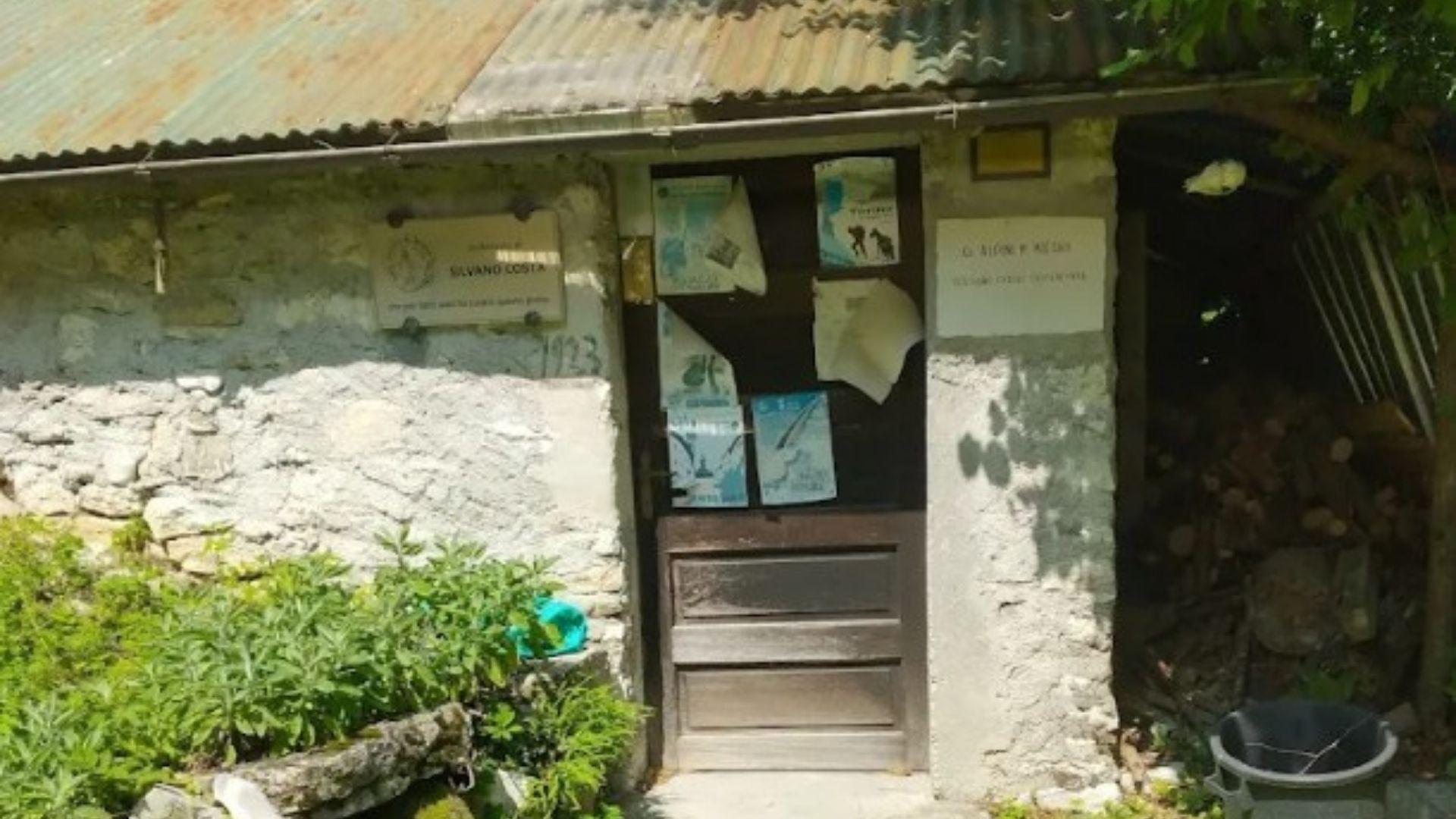
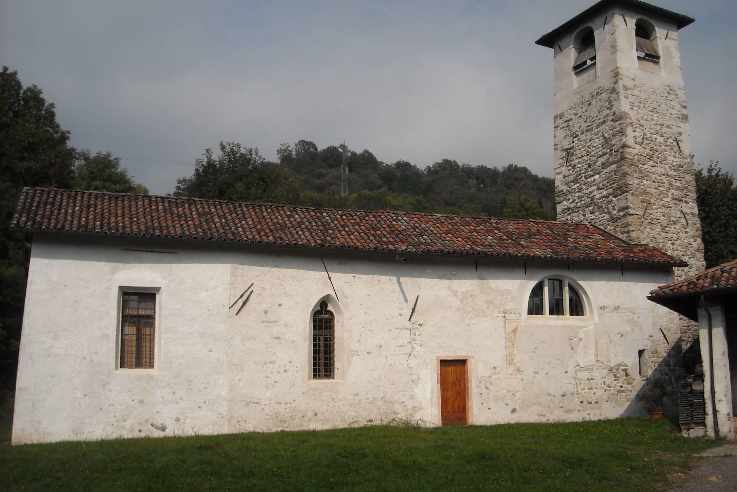
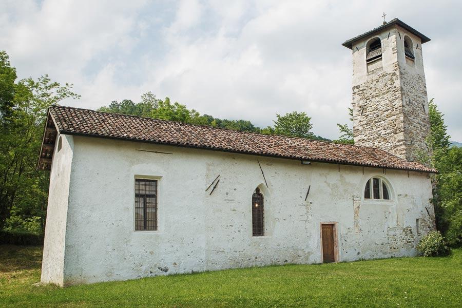
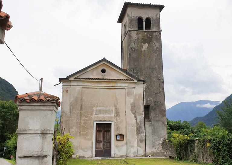
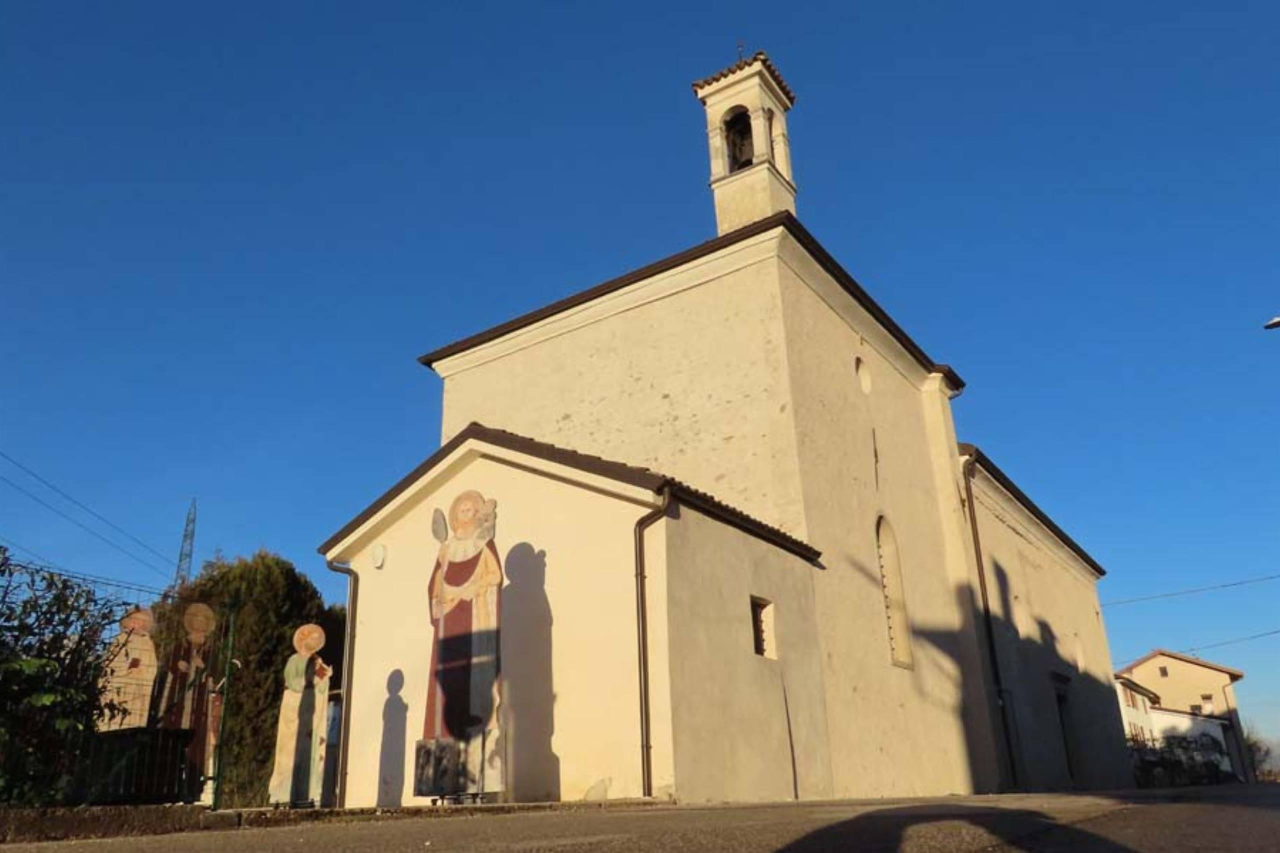










Curated by CAI Dolomiti Bellunesi
Feltre
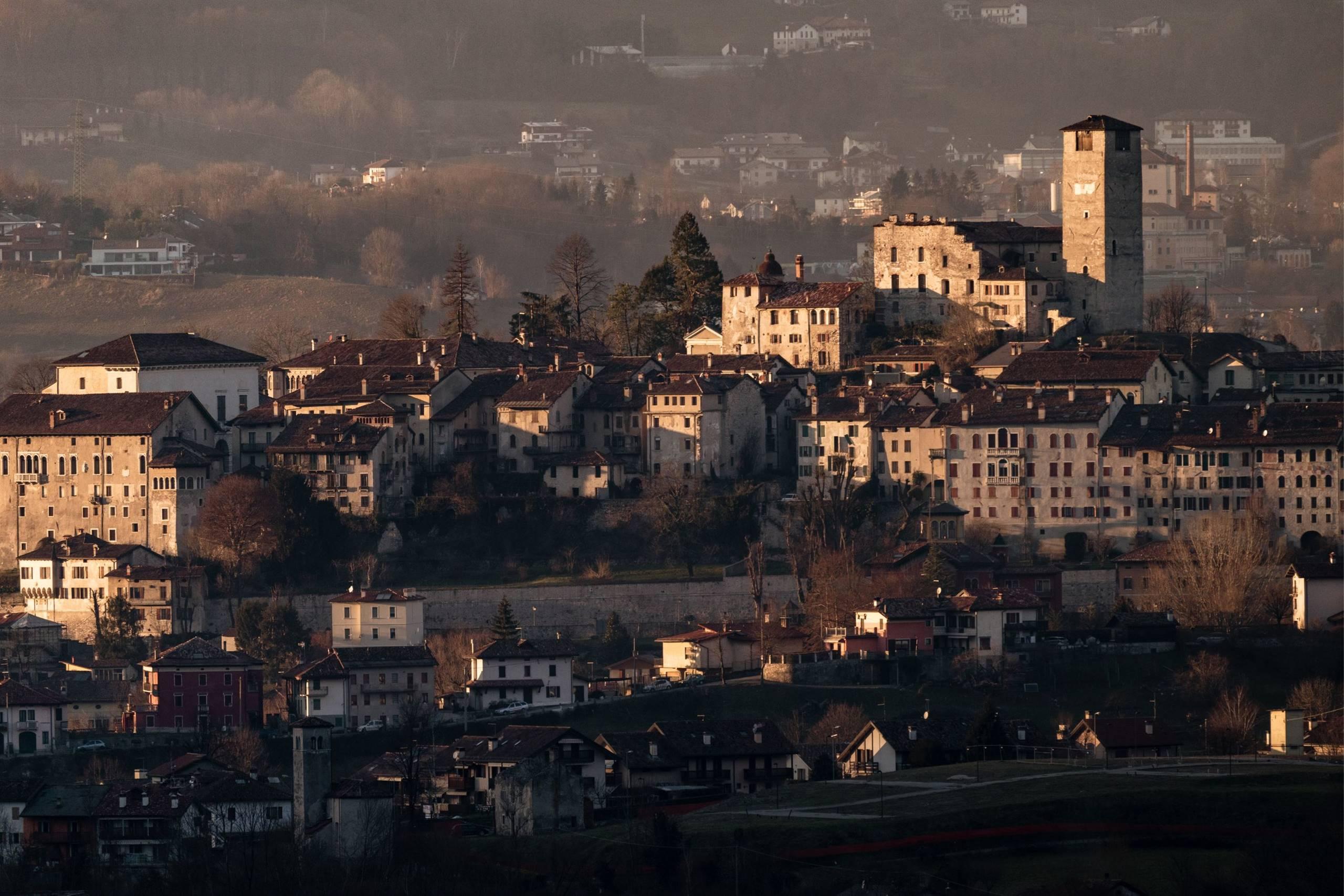
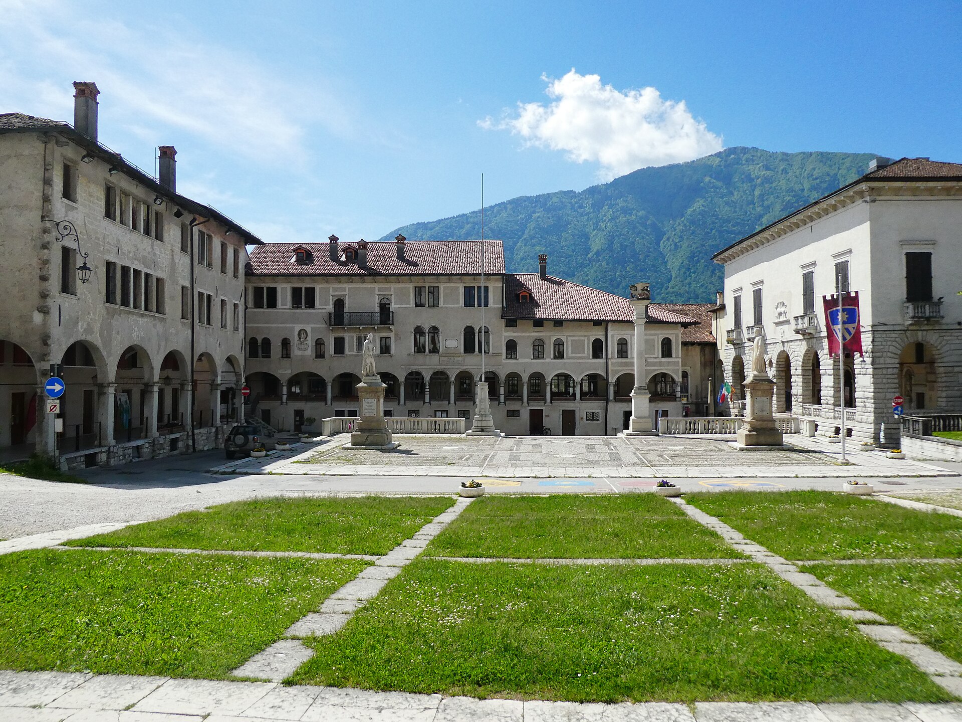
Walled Renaissance town on a hill above the Piave, with an arcaded main street and the Vette Feltrine behind it.
Photo: Syrio · CC BY-SA 4.0 licence
- 11Highlights
- 29Routes
- Featured summit · Monte Tomatico
Highlights
4 from neighbouring places
Castello di Alboino
The castle crowning the hill above Feltre, its tall tower standing over the walled old town in the Valbelluna.
Rifugio/bivacco Alpini Monte Miesna
A small shelter kept by the Alpini on Monte Miesna, in the hills above Feltre.
Riserva naturale Vincheto di Celarda
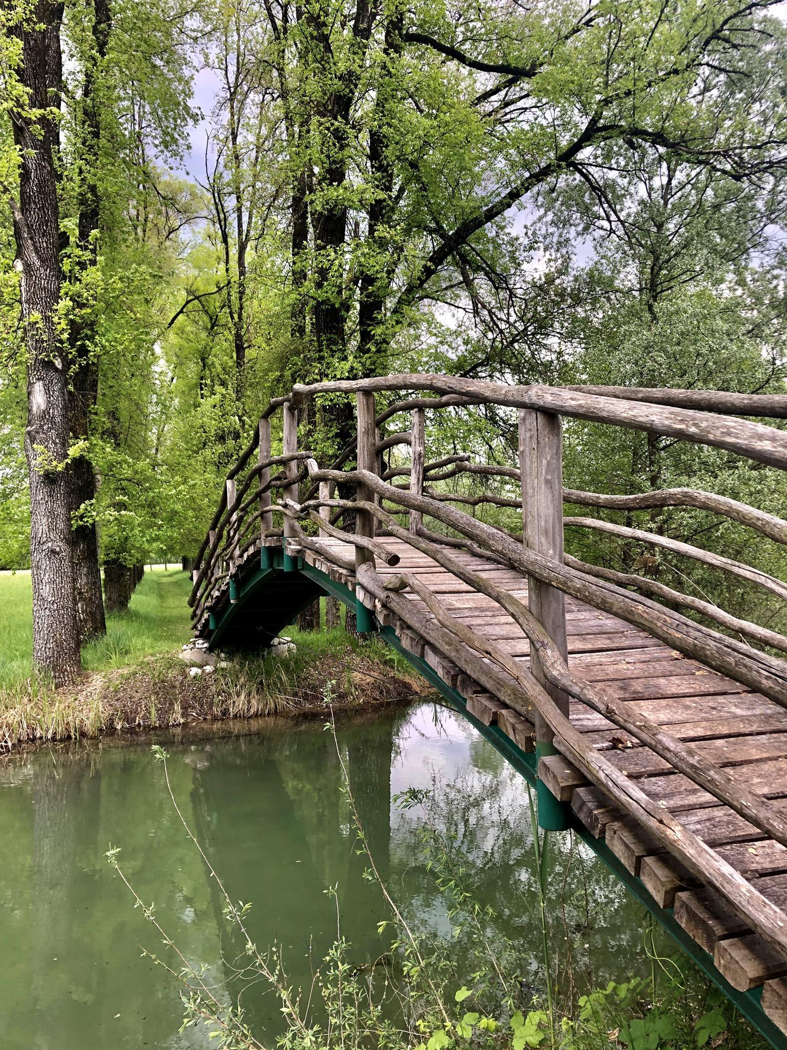
A state nature reserve of wet woodland, meadows and ponds on the Piave floodplain at Celarda, near Feltre.
Museo Diocesano Belluno Feltre
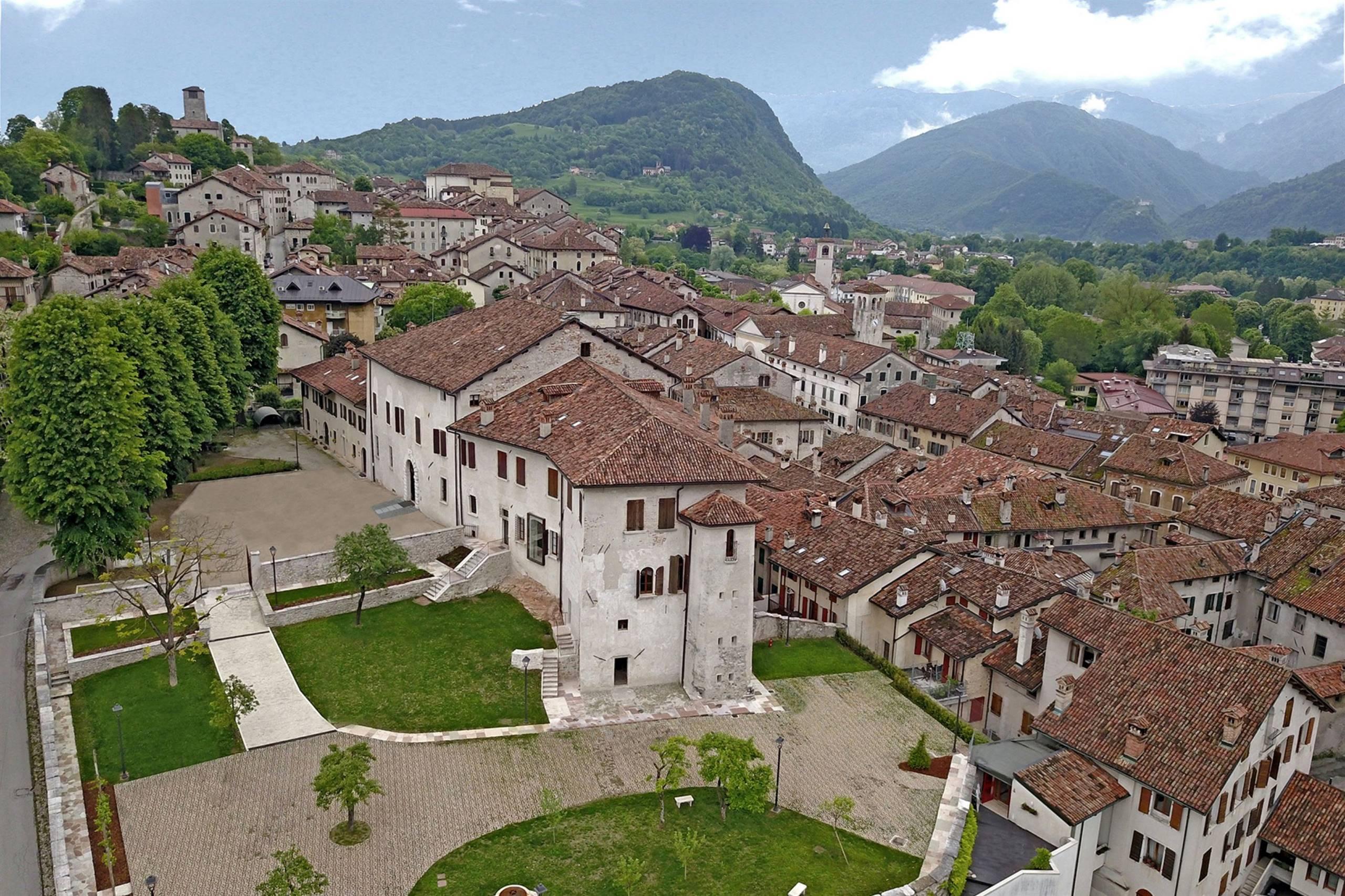
The diocesan museum of Belluno and Feltre, with sacred art and furnishings gathered from churches across the Feltrino and the Valbelluna.
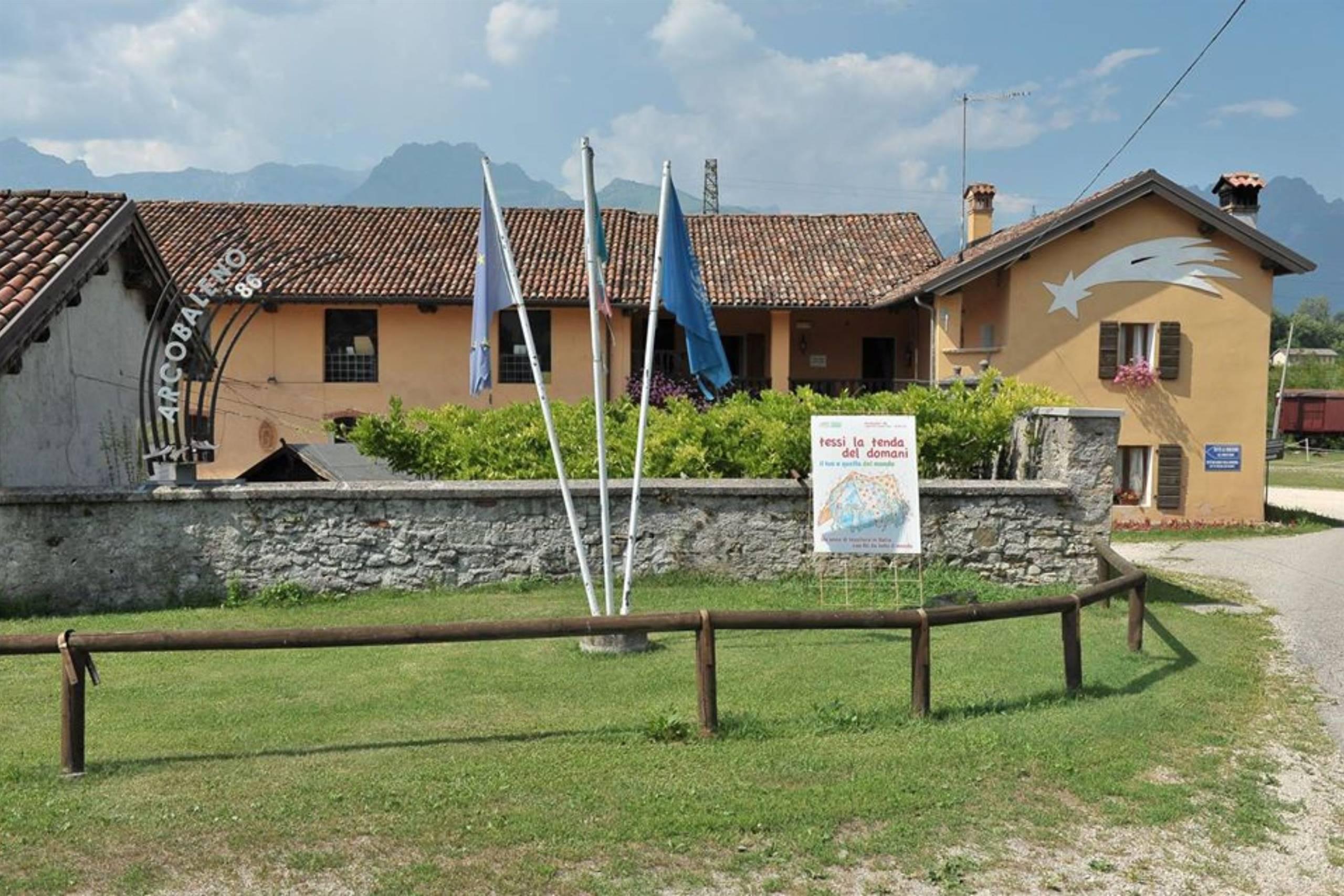
Museo dei sogni, memoria, coscienza e presepi
A museum in Feltre gathering nativity scenes together with displays on dreams, memory and conscience.
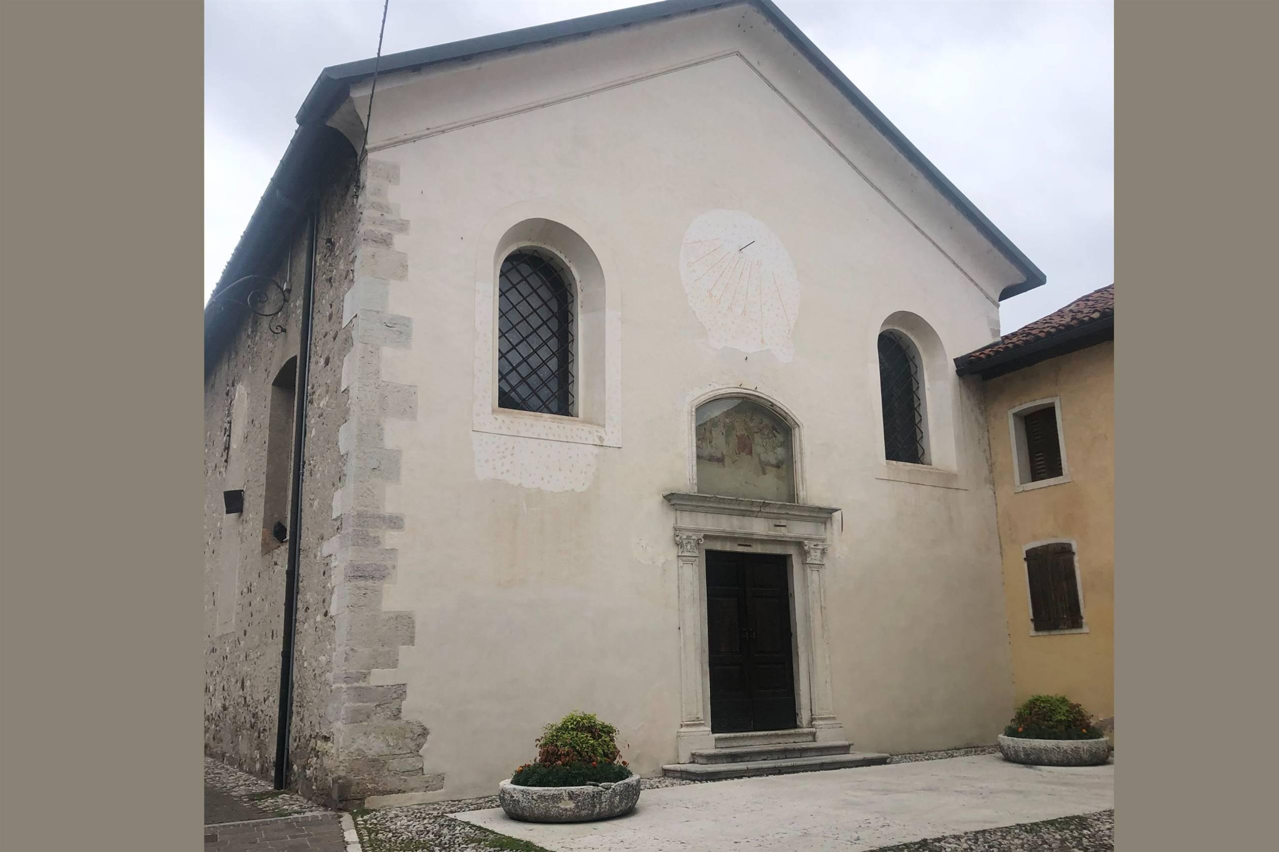
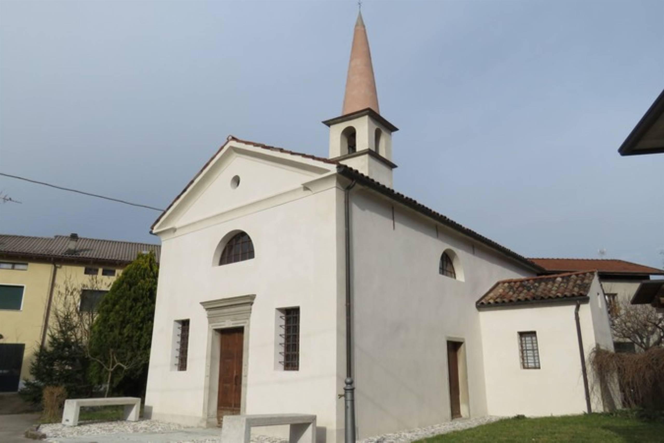
Chiesa di S.Maria degli Angeli
A church in Feltre, in the Valbelluna between the Feltre Dolomites and the Piave.
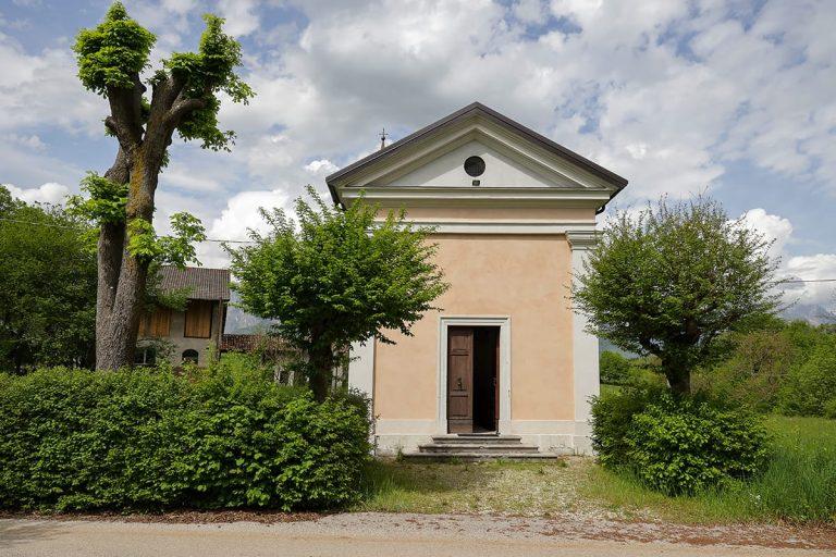
Chiesa di San Benedetto a Celarda
A church at Celarda, a hamlet of Feltre on the flat land beside the Piave.
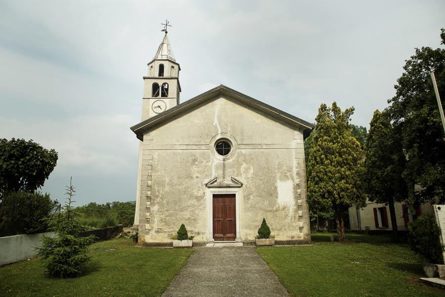
Chiesa di San Fermo a Villaga
A church at Villaga, a hamlet of Feltre in the Valbelluna below the Feltre Dolomites.
Chiesa di San Marcello
A church in Feltre, the walled town on the northern side of the Valbelluna.
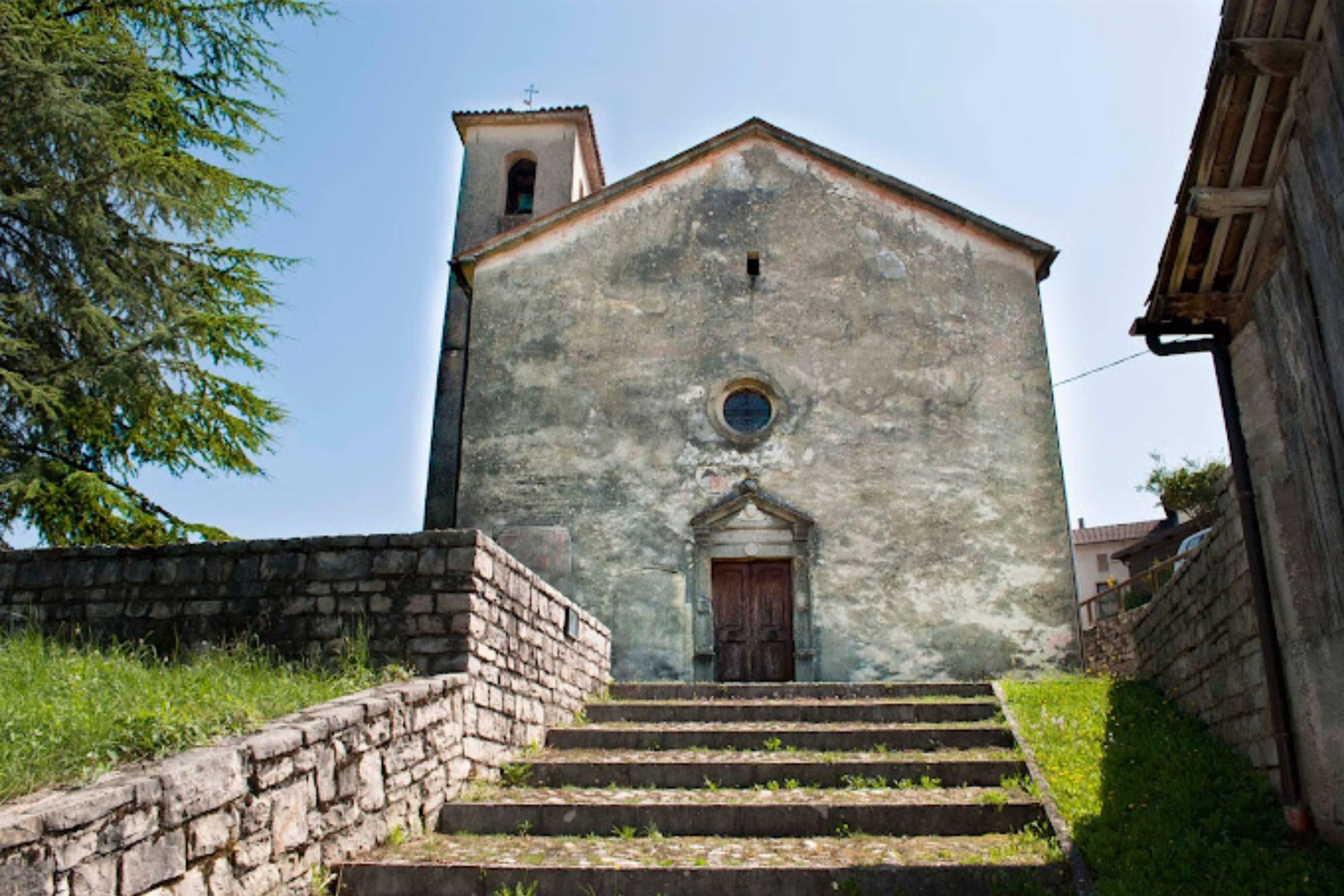
Chiesa di San Marcello a Umin
A church at Umin, one of the hamlets of Feltre in the hills of the Valbelluna.
Chiesa di San Paolo
A church in Feltre, at the foot of the hill carrying the old walled town.
Chiesa di San Bernardo di Cesana
4.9 km away, in Borgo Valbelluna
A church dedicated to Saint Bernard at Cesana, a hamlet on the slope above the Valbelluna in Borgo Valbelluna.
Chiesa di San Bartolomeo di Villapiana
5.6 km away, in Borgo Valbelluna
A church at Villapiana, in Borgo Valbelluna, dedicated to the apostle Bartholomew, on the hillside above the Valbelluna.
Chiesa di San Giacomo di Colderù
7.5 km away, in Borgo Valbelluna
A church at Colderù, in the hills of Borgo Valbelluna, dedicated to Saint James the Apostle.
Chiesa di Sant’Antonio Abate di Bardies
7.6 km away, in Borgo Valbelluna
A church at Bardies, in the Valbelluna hills of Borgo Valbelluna, dedicated to Anthony the Abbot.
Nothing of this kind in Feltre.
Routes
In the timeless world of Pian dei Violini
A walk below the Vette Feltrine to the ruined settlements of Pian dei Violini, where the Stien stream rises and drills potholes in the rock.
- 5.2 km
- Distance
- 297 m
- Ascent
- 2 h 5 min
- Duration
- 2
- Check-ins
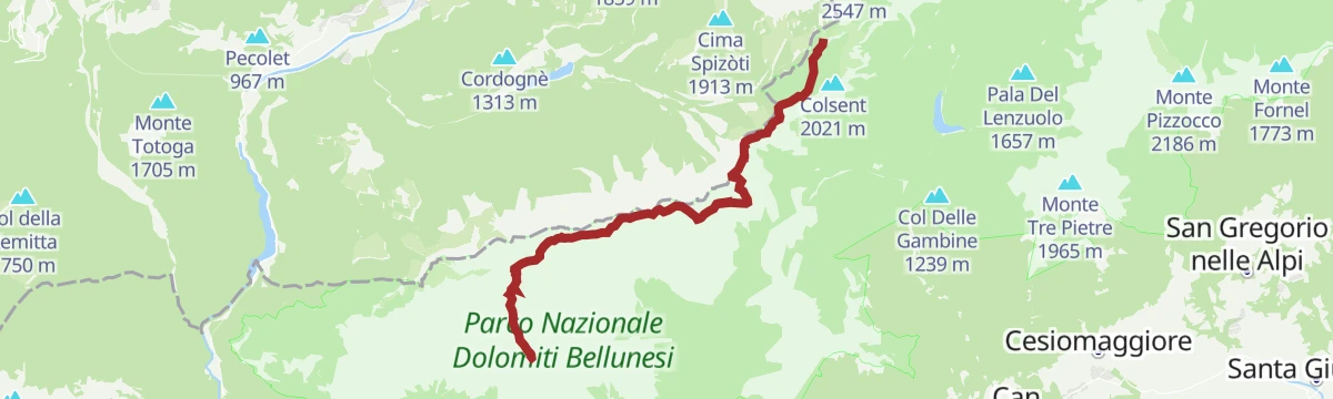
Open route CAI Dolomiti BellunesiCrossing of the Vette Feltrine (from Dal Piaz Hut to Boz Hut)
A traverse from the Dal Piaz hut to the Boz hut on Alta Via 2, CAI trail 801, with a few exposed steps that call for sure footing.
- 12.0 km
- Distance
- 859 m
- Ascent
- 6 h 8 min
- Duration
- 55
- Check-ins
 Rifugio Giorgio Dal Piaz 1 973 m
- Rifugio Bruno Boz 1 718 m
 Passo Le Vette Grandi 1 994 m
- Bivacco Invernale Matteo Fiori 1 727 m
- Passo della Finestra 1 766 m
- Passo di Pietena 2 119 m
- +1
Open route CAI Dolomiti BellunesiAVDB - Stage 6: Rif. Boz - Rif. Dal Piaz
A demanding stage across the Vette Feltrine from Rifugio Bruno Boz, crossing Passo di Pietena and Forcella di Valon before Rifugio Giorgio Dal Piaz.
- 13.1 km
- Distance
- 1 289 m
- Ascent
- 7 h 30 min
- Duration
- 55
- Check-ins
- Rifugio Giorgio Dal Piaz 1 973 m
- Rifugio Bruno Boz 1 718 m
- Passo Le Vette Grandi 1 994 m
- Bivacco Invernale Matteo Fiori 1 727 m
- Passo della Finestra 1 766 m
- Passo di Pietena 2 119 m
- +1
Open route Dolomiti Bellunesi - The Mountains of VeniceMonte Tomatico from Tomo
The shorter of the two approaches to the same summit, starting at Tomo and climbing steadily to a cross with the Lagorai in view.
- 20.8 km
- Distance
- 1 464 m
- Ascent
- 3 h 41 min
- Duration
- 9
- Check-ins
Open route CAI Dolomiti BellunesiA dive into Prehistory: the Covoli of Val di Lamèn
A quiet circuit in the Val di Lamèn past rock shelters with traces of Neolithic and medieval use, and the summit of Pafagai over Feltre.
- 6.2 km
- Distance
- 581 m
- Ascent
- 3 h 37 min
- Duration
- 3
- Check-ins
Open route CAI Dolomiti BellunesiCrossing of the Vette Feltrine (from Rifugio Boz to Rifugio Dal Piaz)
A traverse on CAI path 801 linking two refuges over Passo di Pietena, with a few short exposed steps where sure footing matters.
- 12.6 km
- Distance
- 1 292 m
- Ascent
- 7 h 27 min
- Duration
- 55
- Check-ins
- Rifugio Giorgio Dal Piaz 1 973 m
- Rifugio Bruno Boz 1 718 m
- Passo Le Vette Grandi 1 994 m
- Bivacco Invernale Matteo Fiori 1 727 m
- Passo della Finestra 1 766 m
- Passo di Pietena 2 119 m
- +1
Open route CAI Dolomiti BellunesiMonte Tomatico from Feltre
A long road climb from Feltre through forest to a summit cross with views over the Valbelluna and out to the Venetian plain.
- 24.8 km
- Distance
- 1 590 m
- Ascent
- 4 h 6 min
- Duration
- 7
- Check-ins
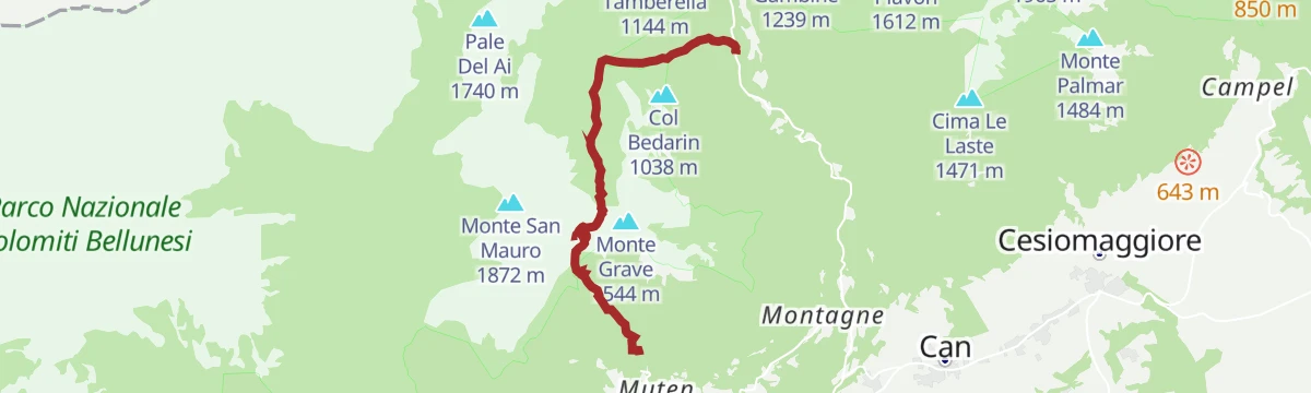
Open route CAI Dolomiti BellunesiAncient hermitages and shepherd paths: the Chiesetta di San Mauro
A ring over the south side of Monte San Mauro, then across the meadows of Monte Grave, past a chapel named for a bishop of Verona who lived as a hermit.
- 6.1 km
- Distance
- 667 m
- Ascent
- 4 h 2 min
- Duration
- 2
- Check-ins
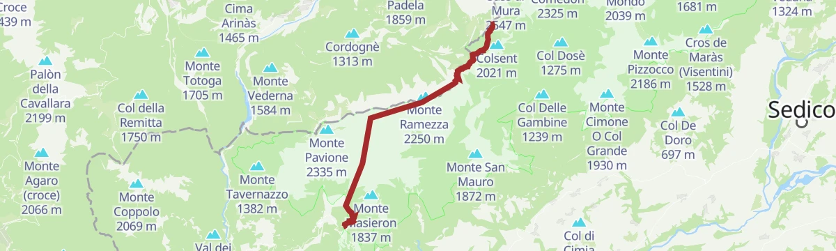
Open route CAI Dolomiti BellunesiPark2Trek Dolomites - stage 2
A stage of Alta Via 2 linking the Belluno Dolomites park, known for its rare flora, with the Paneveggio and Pale di San Martino reserve.
- 12.5 km
- Distance
- 957 m
- Ascent
- 6 h 43 min
- Duration
- 55
- Check-ins
- Rifugio Giorgio Dal Piaz 1 973 m
- Rifugio Bruno Boz 1 718 m
- Passo Le Vette Grandi 1 994 m
- Bivacco Invernale Matteo Fiori 1 727 m
- Passo della Finestra 1 766 m
- Passo di Pietena 2 119 m
- +1
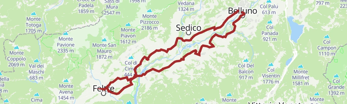
Open route APT San Martino di Castrozza, Primiero e VanoiAnello della Valbelluna
A long ring out of Belluno on the Piave's right bank, over the Villiago rise and on through Sedico, Santa Giustina and Busche.
- 78.2 km
- Distance
- 676 m
- Ascent
- 7 h 35 min
- Duration
- 2
- Check-ins
- Ufficio Turistico di Belluno - IAT 385 m
- Ufficio Turistico di Feltre 289 m
- Area Prior 273 m
- Ufficio Informazioni di Mel 353 m
Open route Dolomiti Bellunesi - The Mountains of VeniceCAI path 819 of the Chiesetta di San Mauro
A marked route on forest roads and paths to the small San Mauro chapel, warm and south-facing at first, then shaded in Val Lunga and Val Fraina.
- 5.9 km
- Distance
- 729 m
- Ascent
- 4 h 32 min
- Duration
- 2
- Check-ins
Open route CAI Dolomiti BellunesiCrossing from Val di San Martino to Croce d'Aune passing through Rifugio Dal Piaz
A traverse of the Vette Feltrine from the Val di San Martino, up the Scalòn to the Busa delle Vette and the Dal Piaz hut, then down to Croce d'Aune.
- 12.9 km
- Distance
- 1 502 m
- Ascent
- 8 h 10 min
- Duration
- 54
- Check-ins
 Pala Croce d'Aune 1 887 m
- Rifugio Giorgio Dal Piaz 1 973 m
- Passo Croce d'Aune 1 011 m
- Passo Le Vette Grandi 1 994 m
- Punto informativo Croce d'Aune 1 022 m
- Forzelon 1 894 m
- +2
Open route CAI Dolomiti BellunesiThe Val Belluna Ring: the places of biodiversity
A two-day e-bike circuit from Belluno by way of Feltre, Mel and Limana, calling at small farms and hamlets along the Piave.
- 77.7 km
- Distance
- 616 m
- Ascent
- 7 h 28 min
- Duration
- 2
- Check-ins
- Ufficio Turistico di Belluno - IAT 385 m
- Ufficio Turistico di Feltre 289 m
- Area Prior 273 m
- Ufficio Informazioni di Mel 353 m
Open route MONTAGNA BELLUNESESan Mauro Chapel
A well-marked climb inside the Belluno Dolomites park to the San Mauro chapel, dedicated to a bishop of Verona who withdrew to the mountains.
- 4.3 km
- Distance
- 647 m
- Ascent
- 3 h 44 min
- Duration
- 2
- Check-ins
Open route CAI Dolomiti BellunesiLoop hike from Lamèn Valley to Dal Piaz Refuge with return via Passo Croce d'Aune
A demanding ring above the Val di Lamèn to the Dal Piaz hut, returning by the Alta Via 2 to Croce d'Aune and the chapel path back.
- 14.7 km
- Distance
- 1 326 m
- Ascent
- 8 h 22 min
- Duration
- 31
- Check-ins
- Pala Croce d'Aune 1 887 m
- Rifugio Giorgio Dal Piaz 1 973 m
- Passo Le Vette Grandi 1 994 m
- Forzelon 1 894 m
- Baita Col. Bonsembiante 1 089 m
- Baita San Martino 775 m
Open route CAI Dolomiti BellunesiSilence, crystal-clear waters, and enchanted ruins: the Val di San Martino
A walk below the Vette Feltrine to the ruined settlements of Pian dei Violini, where the Stien stream rises and has drilled potholes in the rock.
- 11.8 km
- Distance
- 545 m
- Ascent
- 4 h 7 min
- Duration
- 2
- Check-ins
Open route CAI Dolomiti BellunesiAlta Via no. 2 on the Pale di San Martino - Stage 7
A long stage of the Alta Via 2, crossing Passo della Finestra above Sovramonte and passing the Bivacco Matteo Fiori on the way to Rifugio Bruno Boz.
- 15.8 km
- Distance
- 975 m
- Ascent
- 7 h 57 min
- Duration
- 23
- Check-ins
Open route APT San Martino di Castrozza, Primiero e VanoiSan Vittore Nature Trail and Vincheto Nature Reserve
A nature trail from the San Vittore sanctuary over La Rocchetta and Monte Miesna, with labelled trees along the way, dropping to the Vincheto di Celarda reserve beside the Piave.
- 10.2 km
- Distance
- 569 m
- Ascent
- 4 h 1 min
- Duration
- 1
- Check-ins
Open route CAI Dolomiti BellunesiAVDB - Stage 7: Rif. Dal Piaz - Feltre
The long descent from the Dal Piaz hut to Feltre, partly on the Via Claudia Augusta, past stepped-roof casere and the Paradis meadows below Monte Magheron.
- 17.3 km
- Distance
- 58 m
- Ascent
- 5 h 45 min
- Duration
- 18
- Check-ins
Open route Dolomiti Bellunesi - The Mountains of VeniceMiesna e Riserva Naturale Vincheto di Celarda
A low route over Monte Miesna and down to the Vincheto di Celarda reserve, a wetland on the Piave below Feltre.
- 10.6 km
- Distance
- 108 m
- Ascent
- 2 h 44 min
- Duration
CAI path 812 of the "Scalòn delle Vette"
The steep staircase of trails into the Busa delle Vette, climbing hard but without technical passages, inside the Belluno Dolomites park.
- 5.2 km
- Distance
- 1 322 m
- Ascent
- 4 h 48 min
- Duration
- 13
- Check-ins
Open route CAI Dolomiti BellunesiCAI trail 820 of Passo della Lasta
A narrow, little-used path up to the Passo della Lasta, gateway to the flower-rich glacial cirque of the Busa, with the Grappa group across the Valbelluna.
- 2.0 km
- Distance
- 795 m
- Ascent
- 2 h 57 min
- Duration
Open route CAI Dolomiti BellunesiMonte Tomatico from Carpen
A demanding ascent on marked CAI paths up the south-east flanks past Malga Pradalon, through abandoned pastures to a summit facing the Venetian plain.
- 13.3 km
- Distance
- 1 472 m
- Ascent
- 8 h 53 min
- Duration
- 7
- Check-ins
Open route CAI Dolomiti BellunesiCAI path 803 of Ramezza
A trail in the Belluno Dolomites park starting on a dirt road, then through forest that thins out around 1,450 metres, towards the Ramezza pastures.
- 6.3 km
- Distance
- 1 335 m
- Ascent
- 4 h 56 min
- Duration
- 4
- Check-ins
Open route CAI Dolomiti BellunesiCasera Ramezza from Val di San Martino
From the Val di San Martino past Pian dei Violini and through the woods of Val Fratta to the pastures under Sasso Scarnia.
- 9.2 km
- Distance
- 931 m
- Ascent
- 5 h 43 min
- Duration
- 4
- Check-ins
Open route CAI Dolomiti BellunesiCAI trail 815 of the "Forzelòn"
The steepest of the Vette Feltrine trails, climbing the barrier above Val di Lamèn to a window on the Busa delle Vette. Graded for experienced hikers.
- 2.9 km
- Distance
- 1 205 m
- Ascent
- 4 h 15 min
- Duration
- 3
- Check-ins
Open route CAI Dolomiti BellunesiVal di Lamèn, Passo della Lasta and Forzelòn, among chamois and edelweiss
A hard ring linking the Passo della Lasta and the Forzelòn above Val di Lamèn, with exposed ground, chamois herds and edelweiss on the ledges.
- 8.6 km
- Distance
- 1 330 m
- Ascent
- 7 h 37 min
- Duration
- 3
- Check-ins
- Pala Croce d'Aune 1 887 m
- Forzelon 1 894 m
- Forcella di Dosso Perazze 1 507 m
- Baita San Martino 775 m
Open route CAI Dolomiti BellunesiCAI path 816 of the "Scalòn di Piètena"
A demanding line through the Busa di Piètena, one of the glacial hollows of the Vette Feltrine, steep in places but without technical ground.
- 5.0 km
- Distance
- 1 316 m
- Ascent
- 4 h 49 min
- Duration
Open route CAI Dolomiti BellunesiPath 850 from Carpen to Malga Pradalòn
A quiet, steep old herders' path climbing the south-eastern flank of Monte Tomatico among ruined pastures, ending shortly below the top.
- 4.8 km
- Distance
- 1 129 m
- Ascent
- 4 h 11 min
- Duration
Open route CAI Dolomiti Bellunesi
No routes of this kind in Feltre yet.
The region's own picks

Featured route
In the timeless world of Pian dei Violini
A walk below the Vette Feltrine to the ruined settlements of Pian dei Violini, where the Stien stream rises and drills potholes in the rock.
Planning a trip to Feltre?
Everything else Veneto has, in one place


Take Feltre with you into the mountains
Every route on this page with 3D terrain, GPX navigation and offline maps — including the valleys with no signal.
Data sources
- Official website: italia.it ↗
- Routes and highlights: CAI Dolomiti Bellunesi, Dolomitiprealpi, Dolomiti Bellunesi - The Mountains of Venice, APT San Martino di Castrozza, Primiero e Vanoi, MONTAGNA BELLUNESE
- Published as open data by the tourist boards named above.
- Region summary generated from the board's own material.
