







Curated by Piemonte Outdoor
Exilles
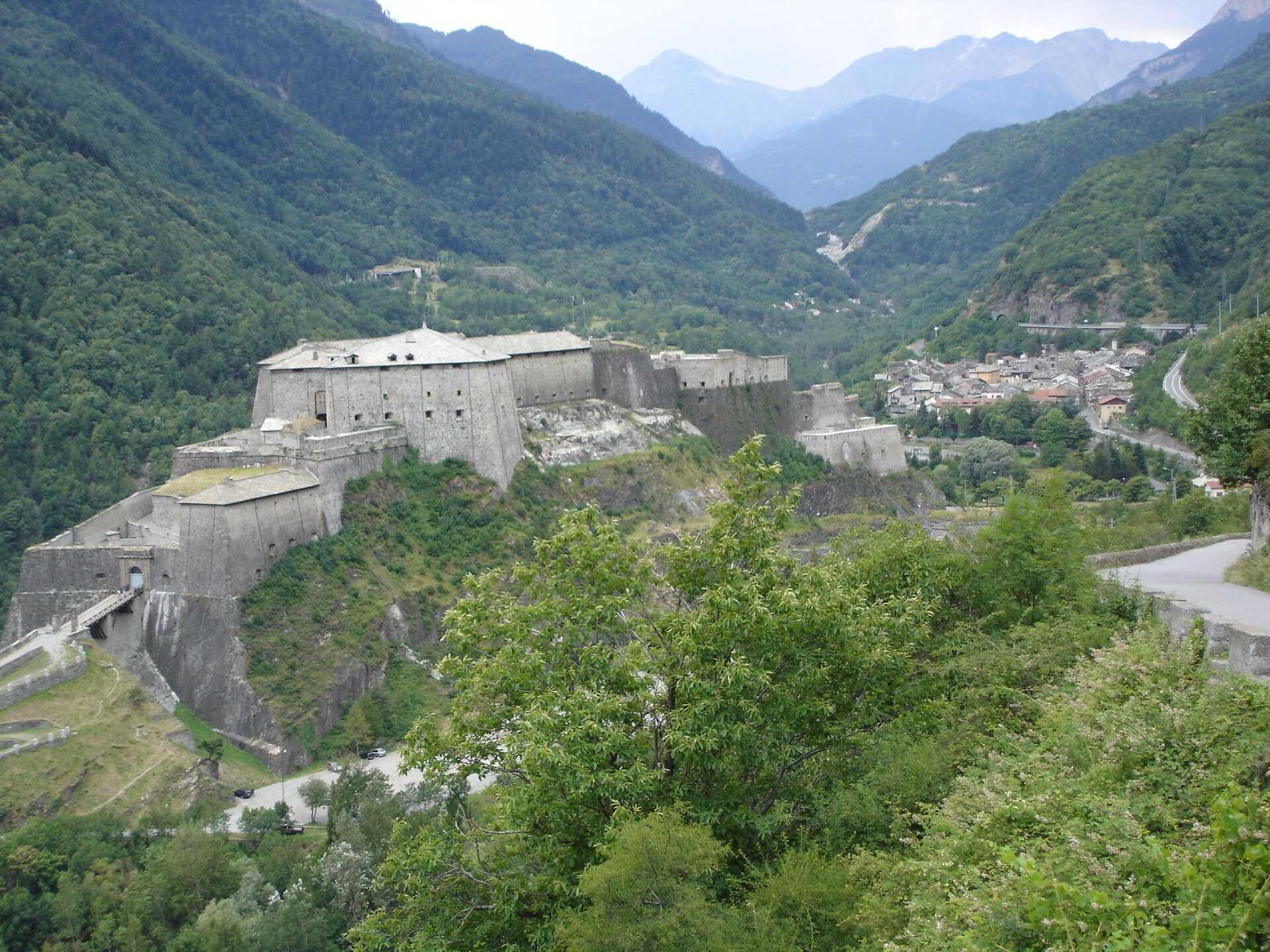
Upper Susa valley village guarding the road to France beneath the great fort rebuilt in the nineteenth century.
Photo: Touriste · Public domain
- 9Routes
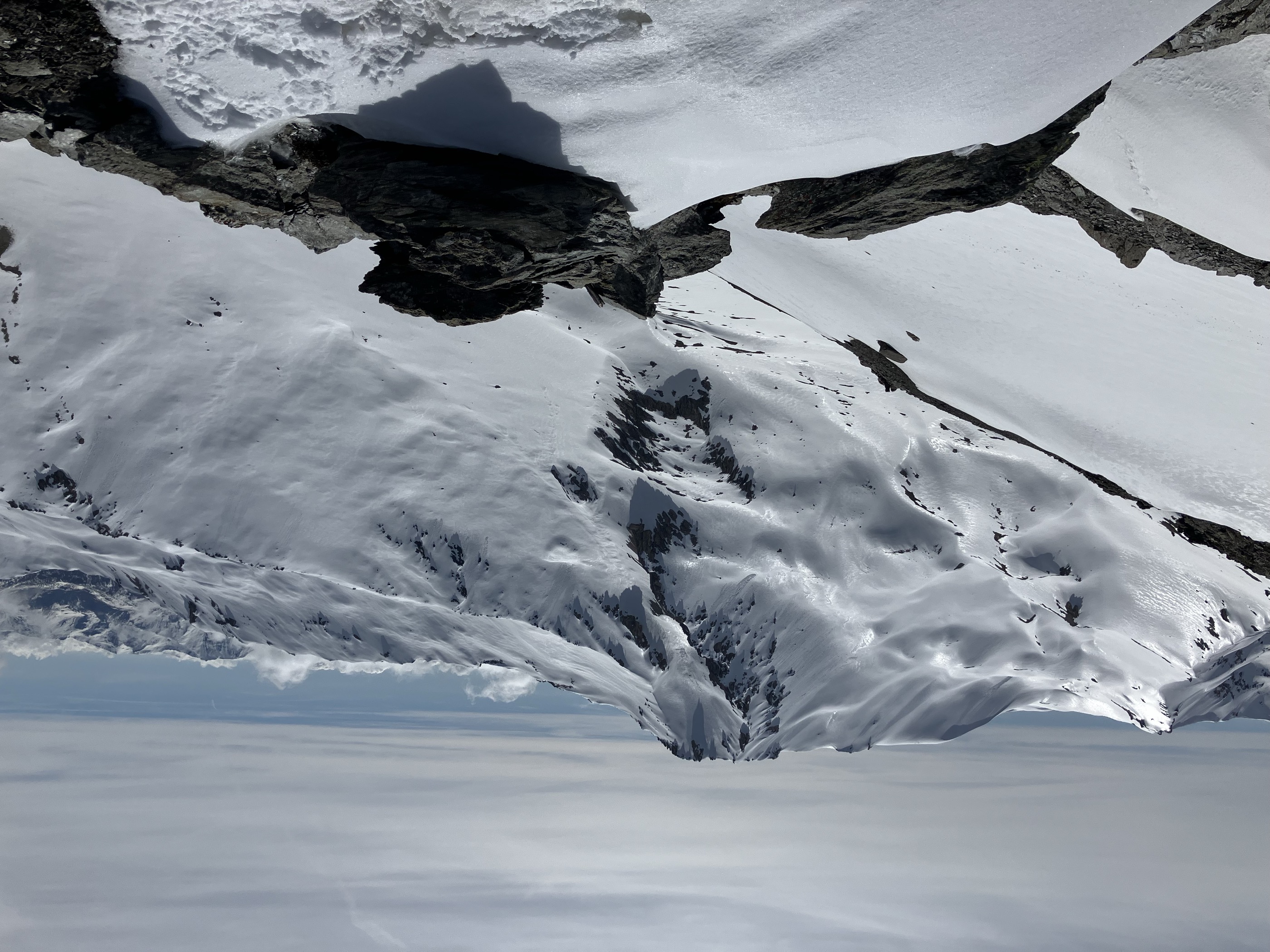
- Featured summit · Cima del Vallonetto
Routes
4 from neighbouring places
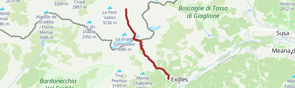
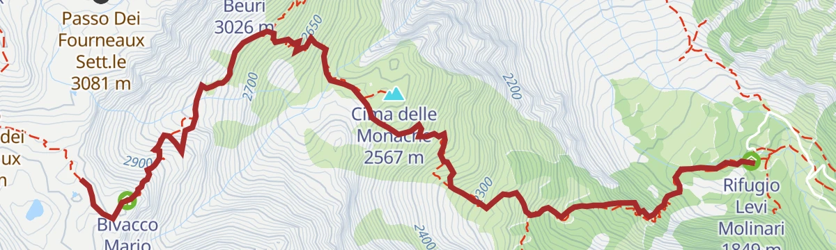
Tour d'Ambin: Tappa 3 Rifugio Vaccarone
A high stage from Rifugio Levi Molinari across the Passo Clopacà and over Monte Clopacà, with Capanna Sibille under the Ambin ridge.
- 8.6 km
- Distance
- 340 m
- Ascent
- 2 h 51 min
- Duration
- 18
- Check-ins
Glorioso Rimpatrio dei Valdesi: Tappa 1A Colle Clapier
A long, steep stage of the Waldensian Glorious Return above Exilles, by Rifugio Luigi Vaccarone and the Passo Clopacà to the Col de Clapier.
- 12.0 km
- Distance
- 2 477 m
- Ascent
- 13 h 45 min
- Duration
- 23
- Check-ins
Tour d'Ambin: Tappa 5 Bivacco Sigot
A stage of the Ambin circuit ending at the Bivacco Sigot, high above Exilles in the upper Susa valley.
- 13.7 km
- Distance
- 90 m
- Ascent
- 3 h 26 min
- Duration
- 7
- Check-ins
Tour d'Ambin: Tappa 1 San Colombano
The first stage of the Tour d'Ambin, a long climb from Exilles in the Susa valley up to the San Colombano huts.
- 10.1 km
- Distance
- 1 621 m
- Ascent
- 9 h 16 min
- Duration
- 20
- Check-ins
Tour d'Ambin: Tappa 4 Rifugio Levi-Molinari
A stage of the Tour d'Ambin ending at the Levi-Molinari hut in the Galambra valley above Exilles.
- 5.6 km
- Distance
- 3 000 m
- Ascent
- 15 h 36 min
- Duration
- 20
- Check-ins
Glorioso Rimpatrio dei Valdesi: Tappa 2 Frazione San Giacomo
A long valley stage of the Waldensian Glorious Return in the Val di Susa, linking Rifugio Daniele Arlaud with the Baita Candido Viberti.
- 22.4 km
- Distance
- 1 710 m
- Ascent
- 11 h 8 min
- Duration
- 18
- Check-ins
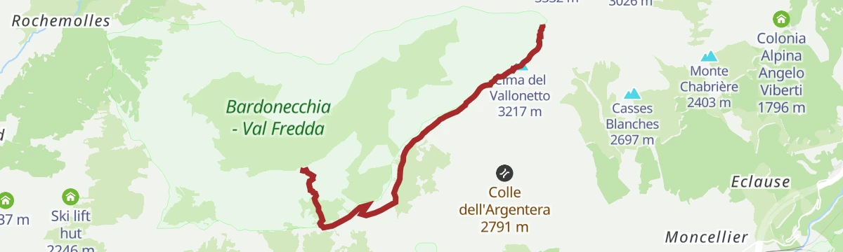
Tour d'Ambin: Tappa 5A Passo Galambra
A high stage of the Tour d'Ambin over the Passo Galambra, under the Cima del Vallonetto on the Exilles side of the Susa valley.
- 7.7 km
- Distance
- 3 066 m
- Ascent
- 16 h 11 min
- Duration
- 9
- Check-ins
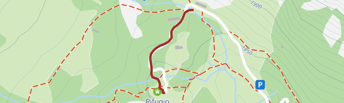
Tour d'Ambin: Tappa 1A Grange della Valle
A variant start to the Tour d'Ambin, climbing from Exilles to the pastures of the Grange della Valle.
- 271 m
- Distance
- 1 860 m
- Ascent
- 9 h 18 min
- Duration
- 7
- Check-ins
Tour d'Ambin: Tappa 3A Lago del Gias
A demanding stage of the Ambin circuit above Exilles, climbing to the Lago del Gias high in the border mountains of Piemonte.
- 11.2 km
- Distance
- 2 730 m
- Ascent
- 14 h 55 min
- Duration
Glorioso Rimpatrio dei Valdesi: Tappa 3 Rifugio Daniele Arlaud
5 km away, in Salbertrand
A long stage of the Waldensian Glorious Return route, ending at the Rifugio Arlaud in the Gran Bosco above Salbertrand.
- 16.3 km
- Distance
- 556 m
- Ascent
- 5 h 12 min
- Duration
- 22
- Check-ins
Tour d'Ambin: Tappa 2A Col Clapier
7.2 km away, in Giaglione
A short link on the Ambin circuit above Giaglione, reaching the bivouac hut just below the pass at over 2,500 m.
- 412 m
- Distance
- 2 490 m
- Ascent
- 12 h 28 min
- Duration
- 8
- Check-ins
Tour d'Ambin: Tappa 5B Caserme Pramand
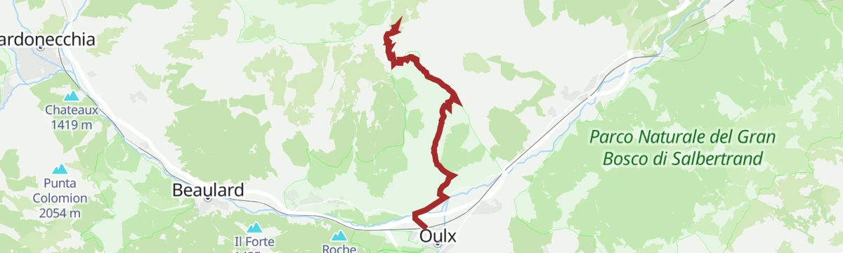
8.9 km away, in Oulx
A stage of the Ambin circuit climbing to the Pramand barracks, a fortified post on the ridge above Oulx.
- 9.7 km
- Distance
- 2 544 m
- Ascent
- 13 h 49 min
- Duration
- 4
- Check-ins
Glorioso Rimpatrio dei Valdesi:Tappa 4 Località Granges
10.2 km away, in Pragelato
A long Waldensian pilgrimage stage over the Colle del Pis into the Val Troncea, passing the refuge at Mulino di Laval.
- 22.7 km
- Distance
- 1 070 m
- Ascent
- 7 h 59 min
- Duration
- 28
- Check-ins
No routes of this kind in Exilles yet.
The region's own picks

Featured route
Tour d'Ambin: Tappa 3 Rifugio Vaccarone
A high stage from Rifugio Levi Molinari across the Passo Clopacà and over Monte Clopacà, with Capanna Sibille under the Ambin ridge.
Planning a trip to Exilles?
Everything else Piedmont has, in one place


Take Exilles with you into the mountains
Every route on this page with 3D terrain, GPX navigation and offline maps — including the valleys with no signal.
Data sources
- Official website: valsusainfo.it ↗
- Routes and highlights: Piemonte Outdoor
- Published as open data by the tourist boards named above.
- Region summary generated from the board's own material.
