
 Historic site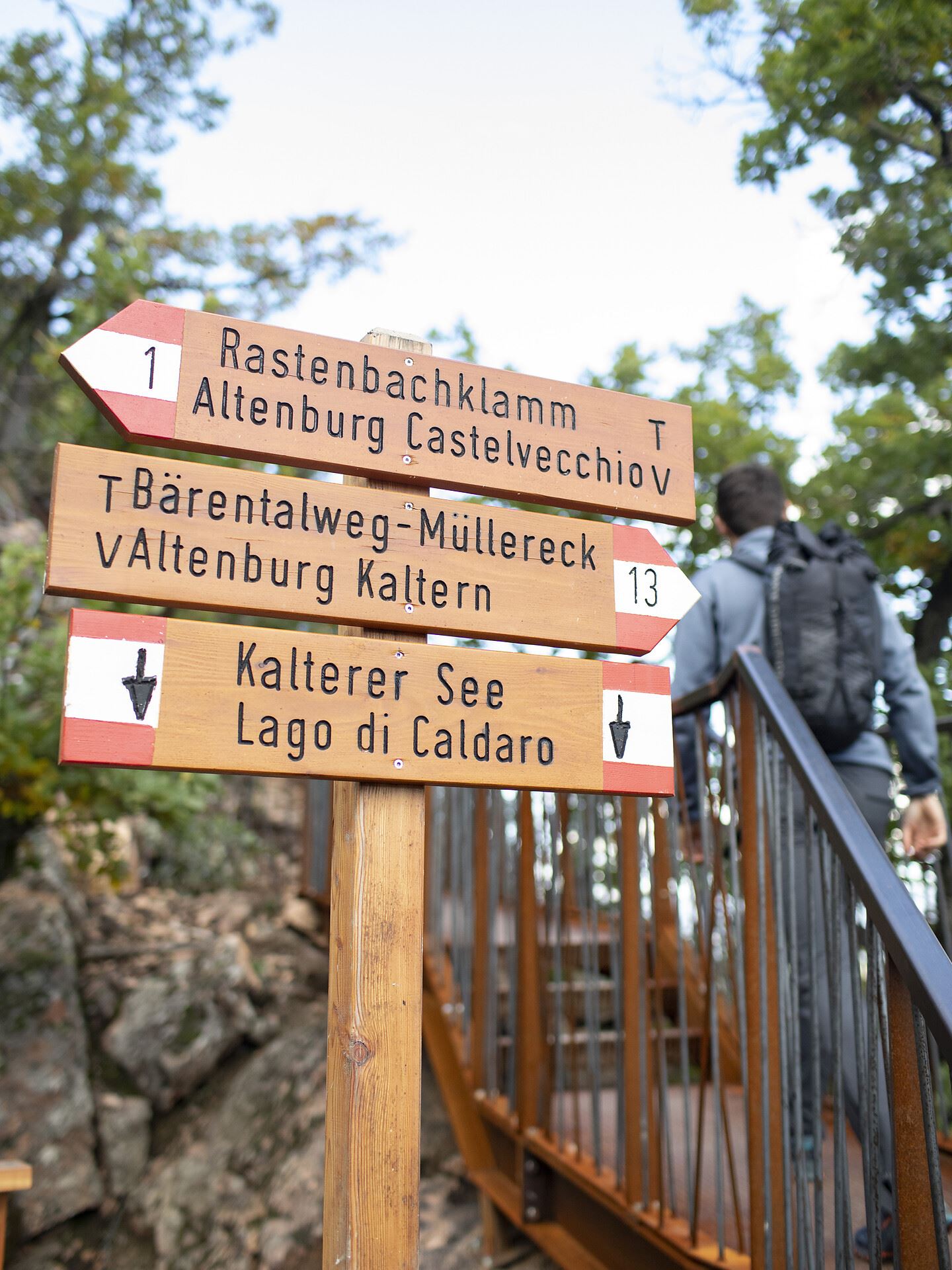









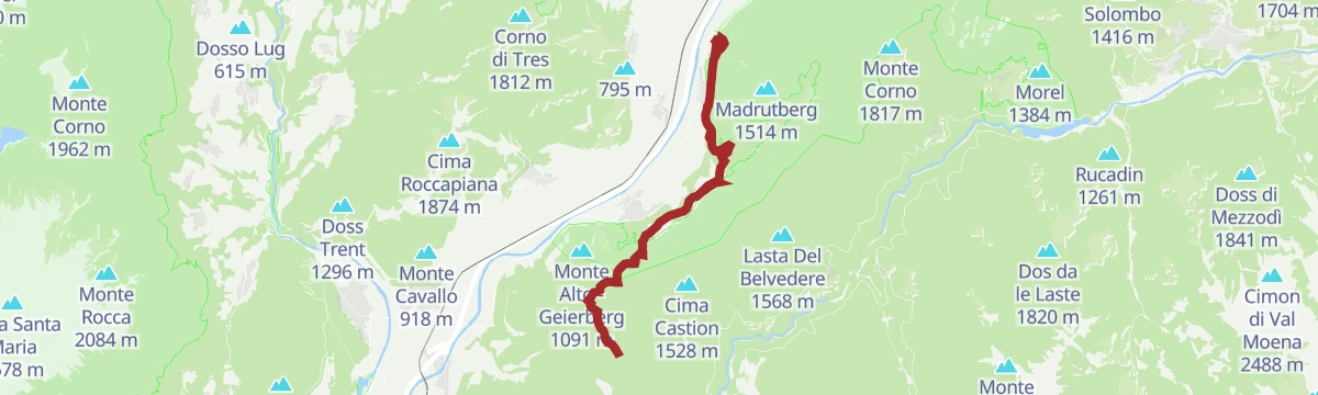
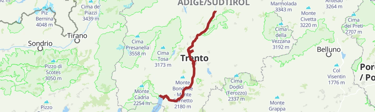
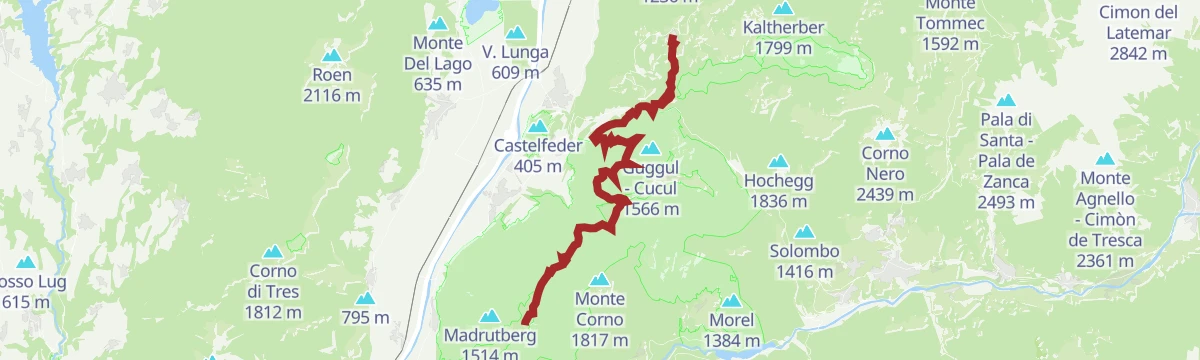


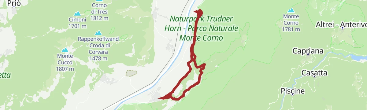


Curated by Südtirols Süden
Egna/Neumarkt
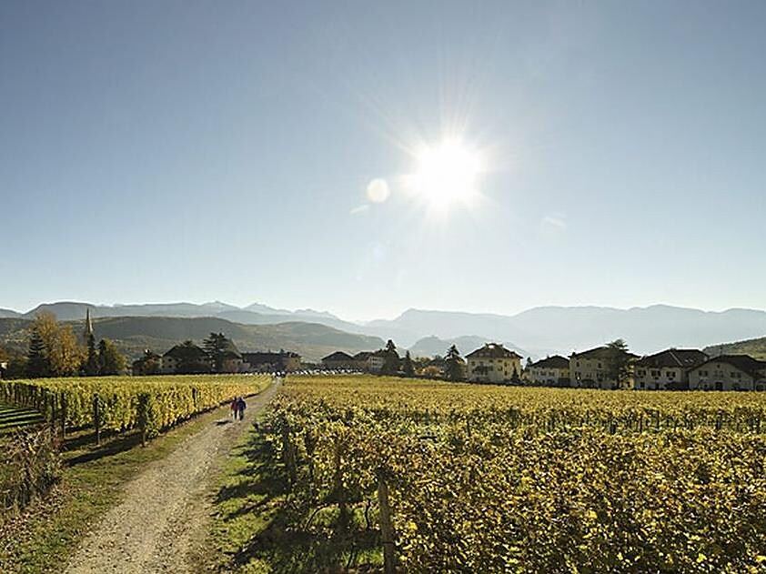
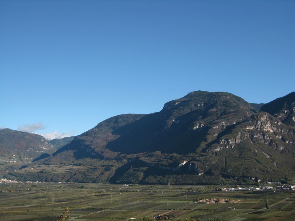
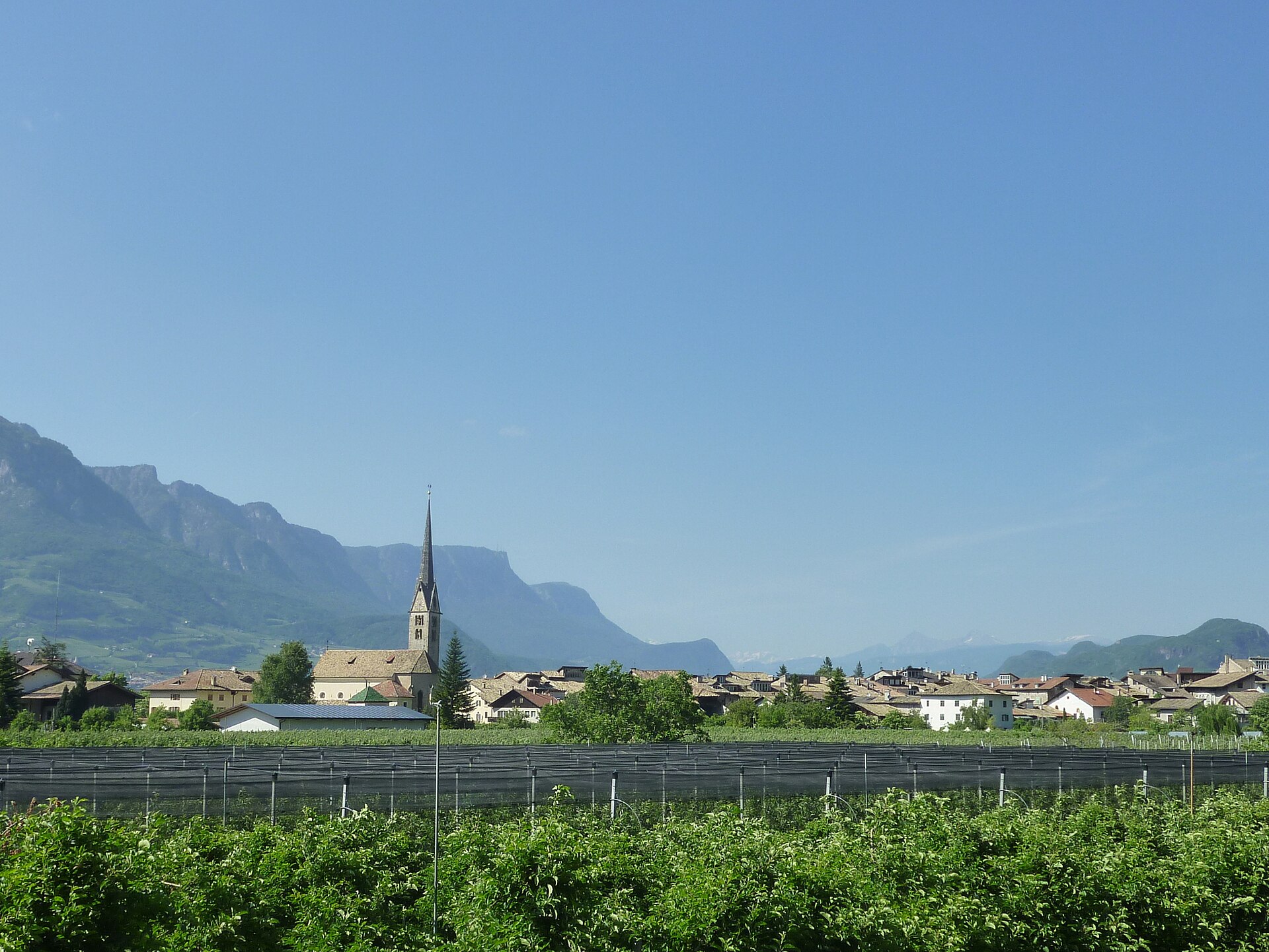
Bassa Atesina market town of arcaded lanes on the wine road, below the Trudner Horn woods.
- 15Highlights
- 53Routes
- Featured summit · Königswiese, M. prato del re
Highlights
All 15 from neighbouring places
Tour in bicicletta:Lago di Monticolo- Lago di Caldaro
4.3 km away, in Cortaccia sulla strada del vino/Kurtatsch an der Weinstraße
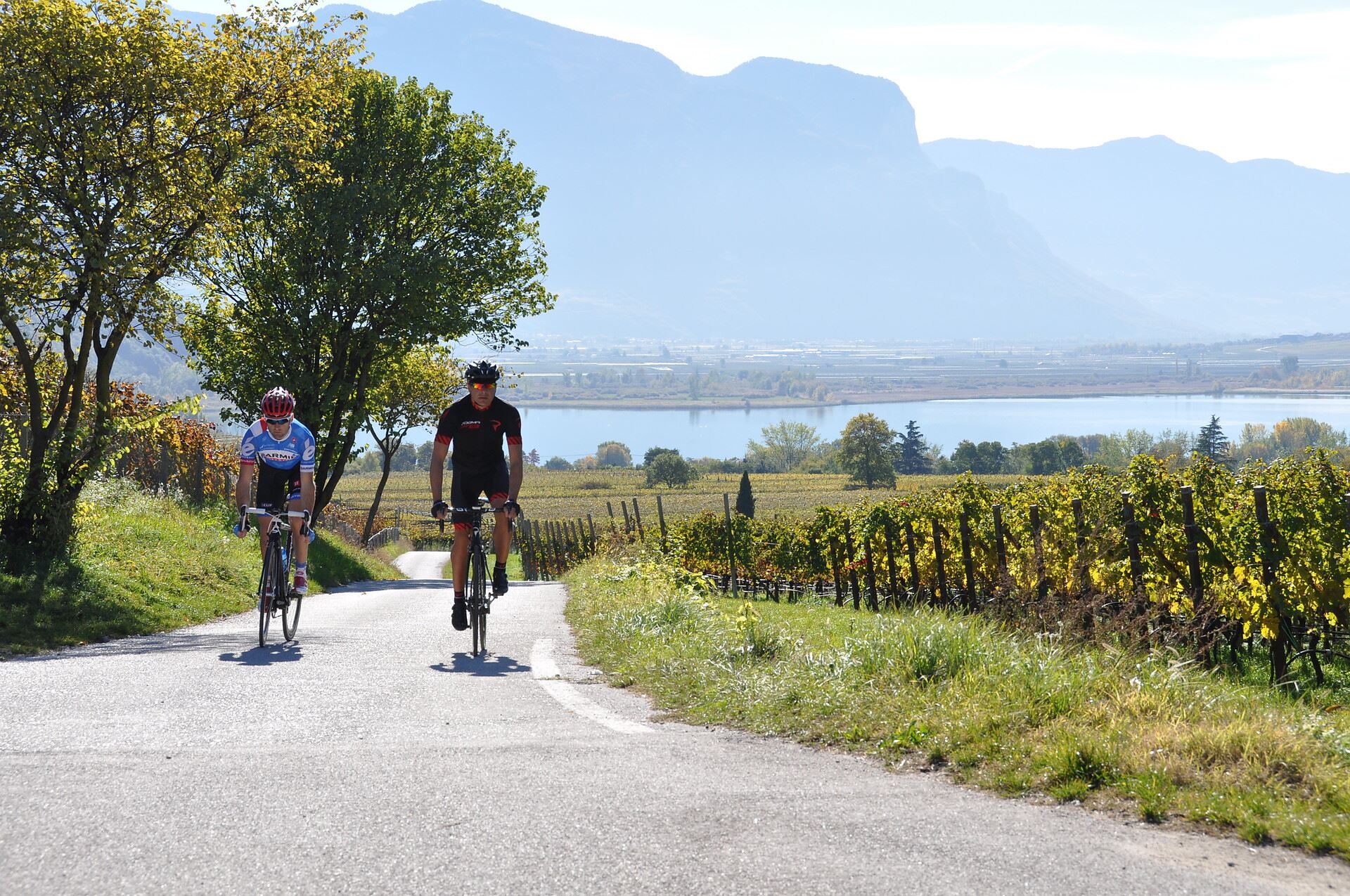
A cycle route linking the Monticolo and Caldaro lakes through the Bassa Atesina vineyards.
Tour in bicicletta: Lago di Caldaro
4.3 km away, in Cortaccia sulla strada del vino/Kurtatsch an der Weinstraße
A cycle route from the Cortaccia vineyards down to the Caldaro lake, the warmest bathing lake in the Alps.
Chiesa S. Giuseppe al lago
9 km away, in Caldaro sulla strada del vino/Kaltern an der Weinstraße
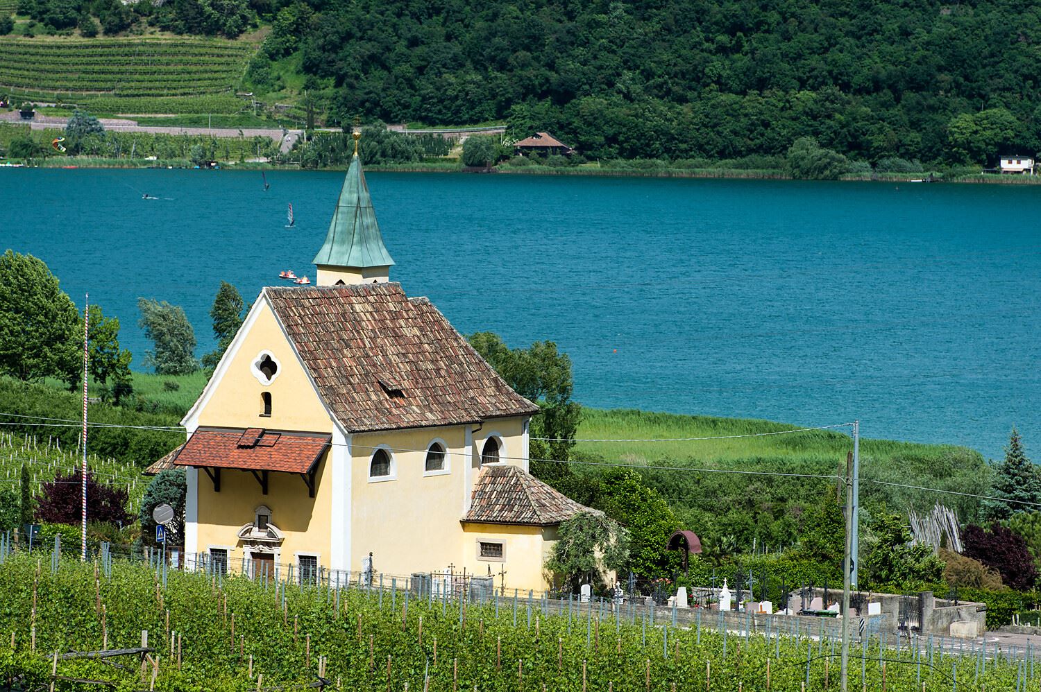
The church of San Giuseppe on the shore of Lake Caldaro.
Lago di Caldaro
9.2 km away, in Caldaro sulla strada del vino/Kaltern an der Weinstraße
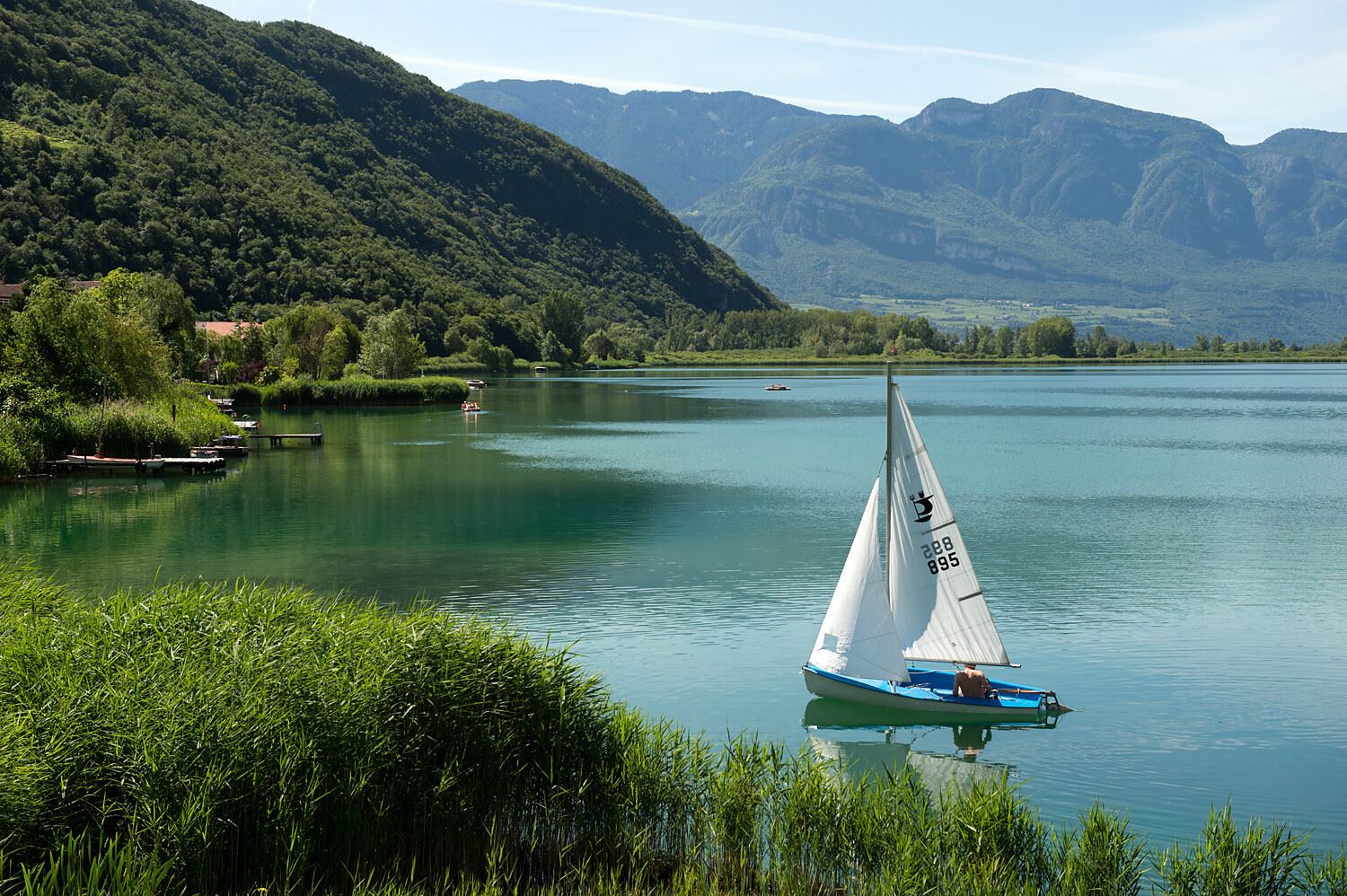
The warmest bathing lake in the Alps, in the vineyards below the Mendola ridge south of Bolzano.
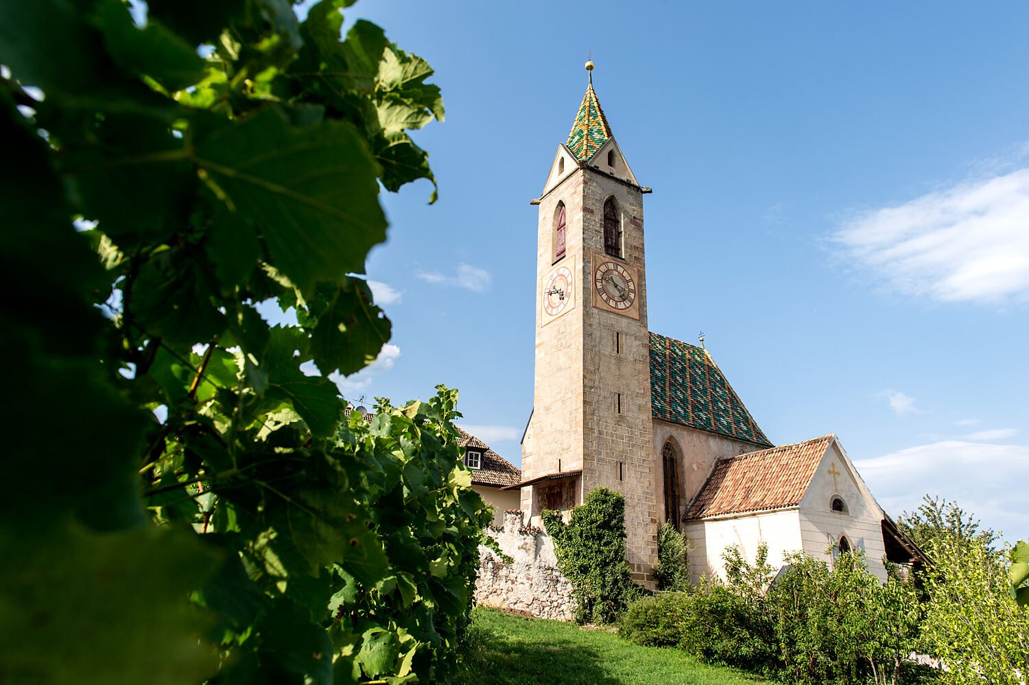
Chiesa S. Vigilio a Castelvecchio
9.3 km away, in Caldaro sulla strada del vino/Kaltern an der Weinstraße
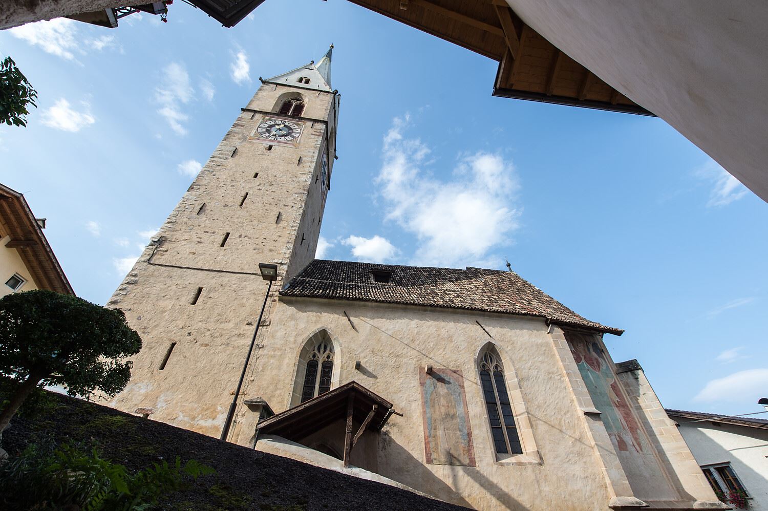
The church of San Vigilio at Castelvecchio, above the Rastenbach gorge near Caldaro.
Ferrata dal rifugio Oltradige al Monte Roen
9.5 km away, in Termeno sulla strada del vino/Tramin an der Weinstraße
A via ferrata above Termeno, climbing from the Rifugio Oltradige to Monte Roen on the Mendola ridge west of the Val d'Adige.
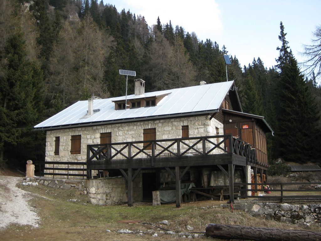
Rifugio Oltradige
9.6 km away, in Termeno sulla strada del vino/Tramin an der Weinstraße
A refuge below Monte Roen on the Mendola ridge, reached from Termeno and Caldaro on the vineyard slopes of the Oltradige.
Castelvecchio (Gola Rastenbach)
9.6 km away, in Caldaro sulla strada del vino/Kaltern an der Weinstraße
The ruins of Castelvecchio above the Rastenbach gorge, on the path between Caldaro and its lake.
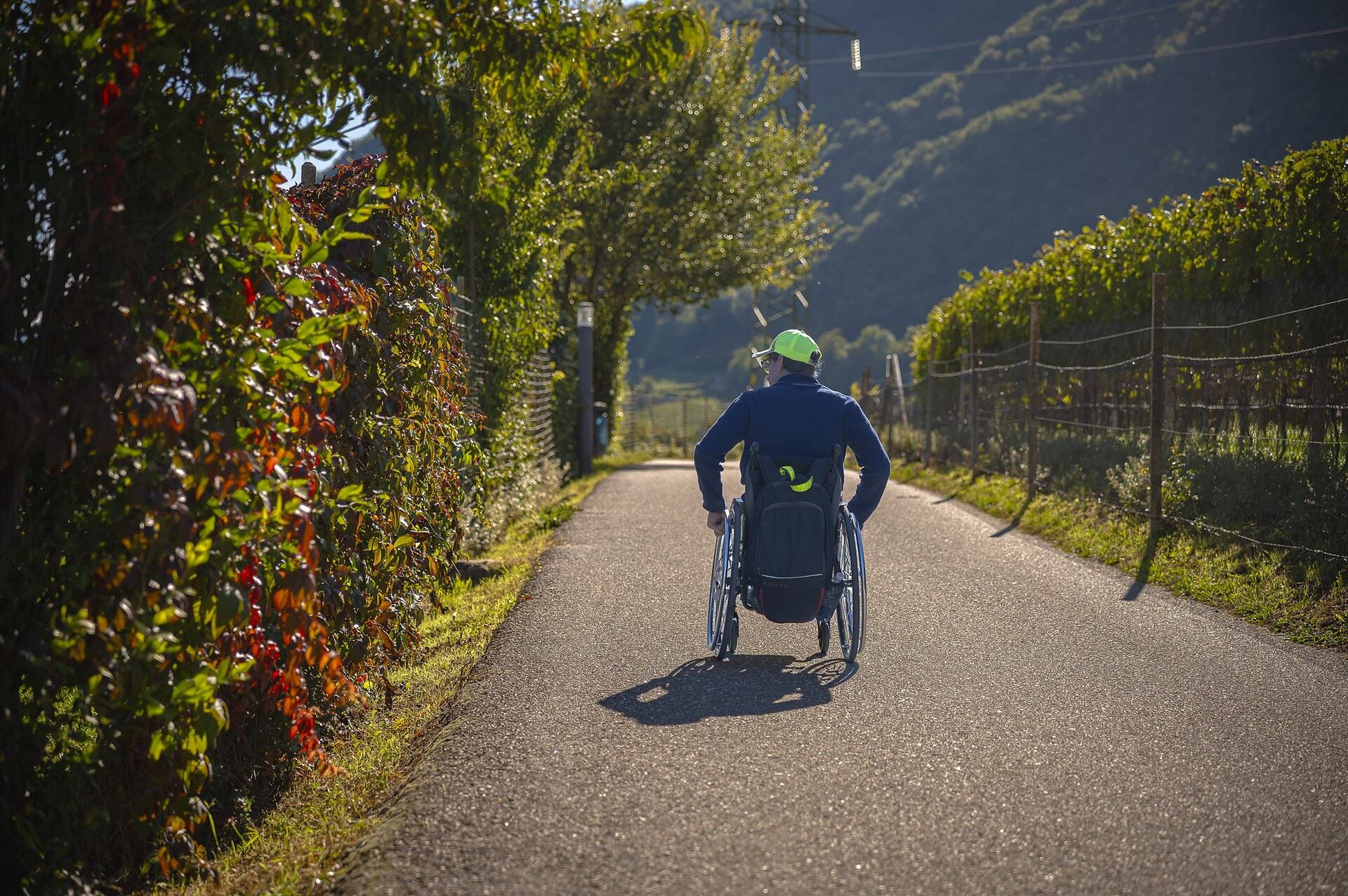
Percorso accessibile a tutti al lago
9.8 km away, in Caldaro sulla strada del vino/Kaltern an der Weinstraße
A level, step-free path around part of the Caldaro lake, the warmest bathing lake in the Alps.
Thalhof al Lago
10 km away, in Caldaro sulla strada del vino/Kaltern an der Weinstraße
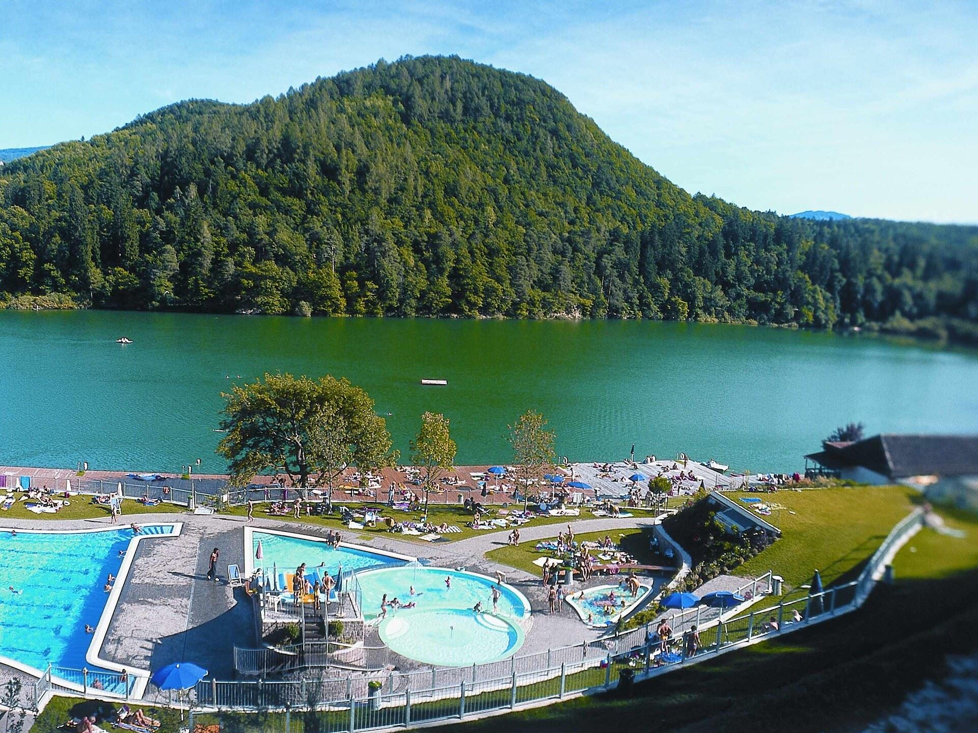
A lakeside bathing house on Lake Caldaro, among the vineyards of the Wine Road.
Castel Ringberg
10.9 km away, in Caldaro sulla strada del vino/Kaltern an der Weinstraße
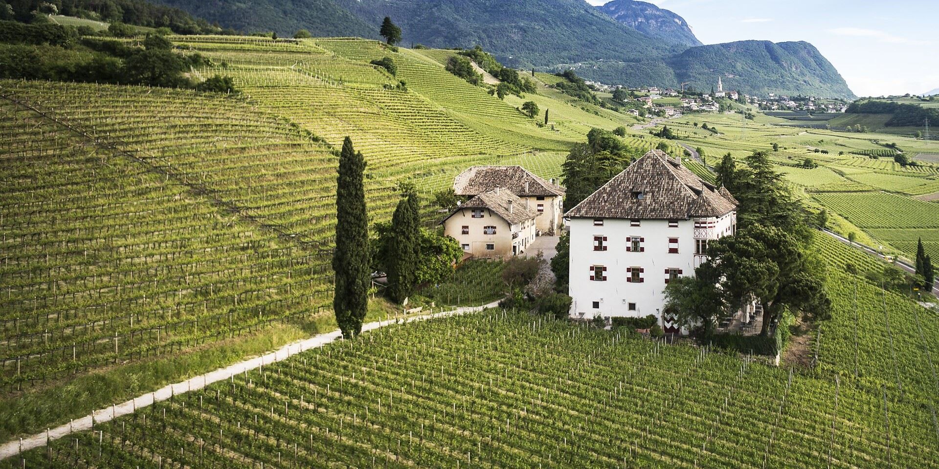
A Renaissance manor of the prince-bishops above Lake Caldaro, still a working wine estate.
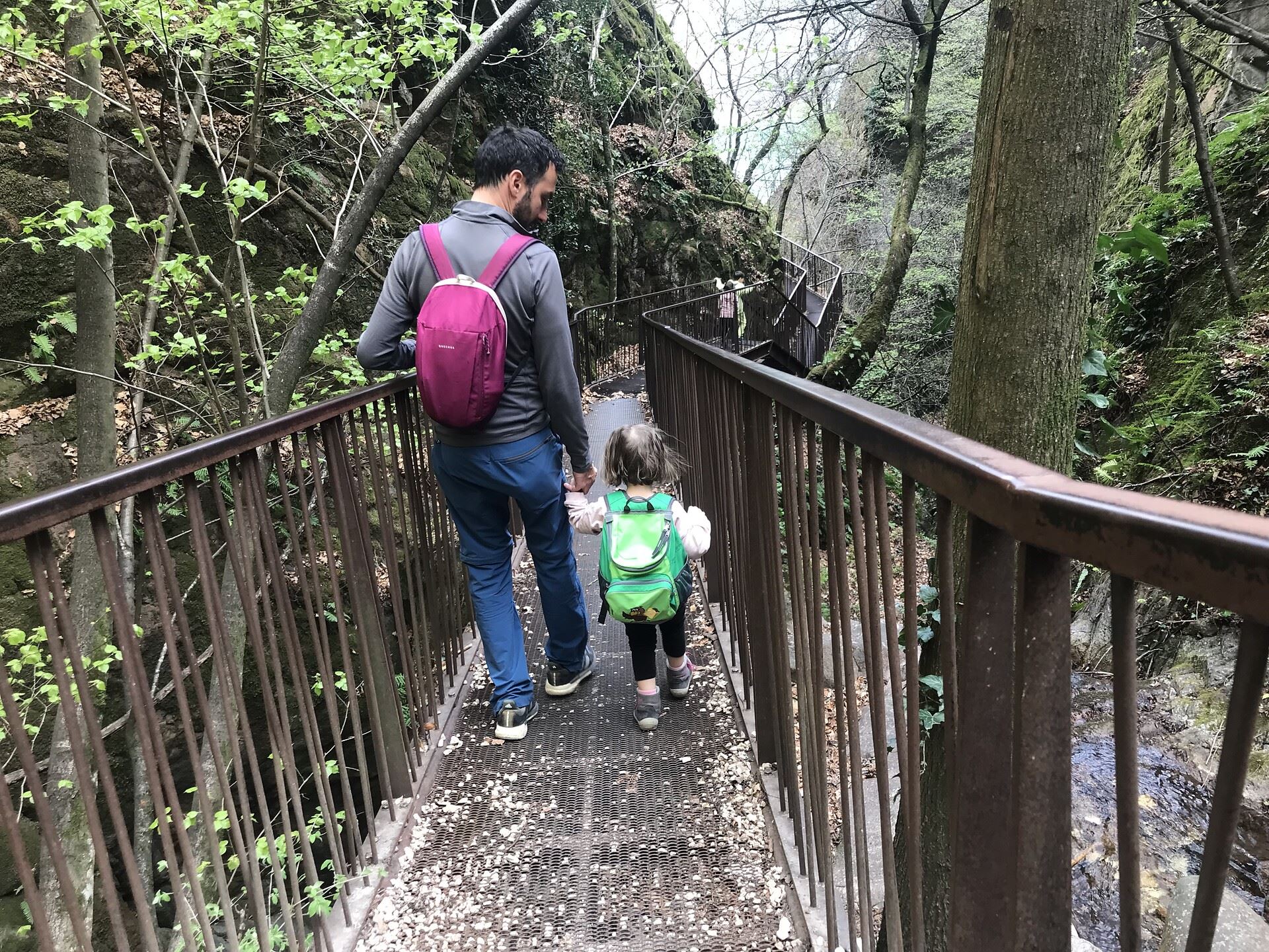
Da S. Antonio attraverso la Gola Rastenbach e il sentiero della Pace
11.5 km away, in Caldaro sulla strada del vino/Kaltern an der Weinstraße
The Rastenbach gorge above Caldaro, where a stepped path passes a Romanesque chapel on the way to the lake.
Chiesa a S. Antonio
12.8 km away, in Caldaro sulla strada del vino/Kaltern an der Weinstraße
The church of Sant'Antonio at Caldaro, on the terrace above the lake.
Percorso didattico sul vino di Castel Sallegg
13.1 km away, in Caldaro sulla strada del vino/Kaltern an der Weinstraße
A vineyard trail at Castel Sallegg above Caldaro, explaining the Lagrein and Schiava grown there.
Chiesa dei frati francescani a Caldaro
13.1 km away, in Caldaro sulla strada del vino/Kaltern an der Weinstraße
The Franciscan friars' church in Caldaro, on the Wine Road below the Mendola.
Nothing of this kind in Egna/Neumarkt.
Routes
50 routes, an even mix of activities · see the rest on merano-suedtirol.it ↗
Tour of Gschnon / Casignano
A walk between the mountain hamlets of Casignano and Gsteig in the Monte Corno park, with ten information stops, a mill and the Klösterle.
- 5.0 km
- Distance
- 243 m
- Ascent
- 1 h 47 min
- Duration
- 2
- Check-ins
Open route Südtirols SüdenGfrill/Caria - Trudner Horn/Monte Corno
A walk from Cauria through the Monte Corno nature park to the Trudner Horn, with its alpine farm for a stop and the Adige lowlands in view.
- 12.2 km
- Distance
- 477 m
- Ascent
- 4 h 3 min
- Duration
- 20
- Check-ins
 Malga Monte Corno - Trudner Horn Alm 1 710 m
 Lago Nero - Schwarzsee 1 717 m
- Infostelle Parco 1 331 m
 Gfriller Sattel - Sella di Cauria 1 450 m
Open route Südtirols SüdenThrough the Nature Park San Lugano - Neumarkt/Egna
A long crossing of the Monte Corno park from San Lugano over the Malga Corno and the Weissensee, dropping through Gfrill to Egna in the Adige valley.
- 21.5 km
- Distance
- 789 m
- Ascent
- 8 h 5 min
- Duration
- 49
- Check-ins
- Malga Monte Corno - Trudner Horn Alm 1 710 m
- Passo di San Lugano - San-Lugano-Sattel 1 097 m
- Antonio Longo 1 104 m
- Passo Cisa - Ziss-Sattel 1 448 m
- Krabes Alm - Le Malghette 1 542 m
- Gsteigerhof - Maso Gsteiger 895 m
- +5
Open route Südtirols SüdenMTB a Malga Cislon
A long climb off the Adige floor near Castelfeder up to Malga Cislon at 1,254 m, where a fire pond sits beside the pasture.
- 48.3 km
- Distance
- 1 326 m
- Ascent
- 5 h 32 min
- Duration
- 46
- Check-ins
- Cislon-Alm - Malga Cislon 1 254 m
- Bacino Antincendio - Löschweiher 1 244 m
- ex Stazione di Pausa 962 m
- House Castelfeder 331 m
- Castelfeder - Grill-Imbiss - ristoro 221 m
- Lamberthof 734 m
- +3
Castelfeder – Bolzano – Valle Isarco
The Adige cycle path from the Bolzano basin up the Isarco valley by Chiusa toward Bressanone.
- 76.1 km
- Distance
- 617 m
- Ascent
- 7 h 12 min
- Duration
- 183
- Check-ins
 Paterbichl 559 m
- Mila Bistro 282 m
- Kampill Center 270 m
- Klammwirt 559 m
- Hiasele 312 m
- Agrocenter Bozen OHG 296 m
- +17
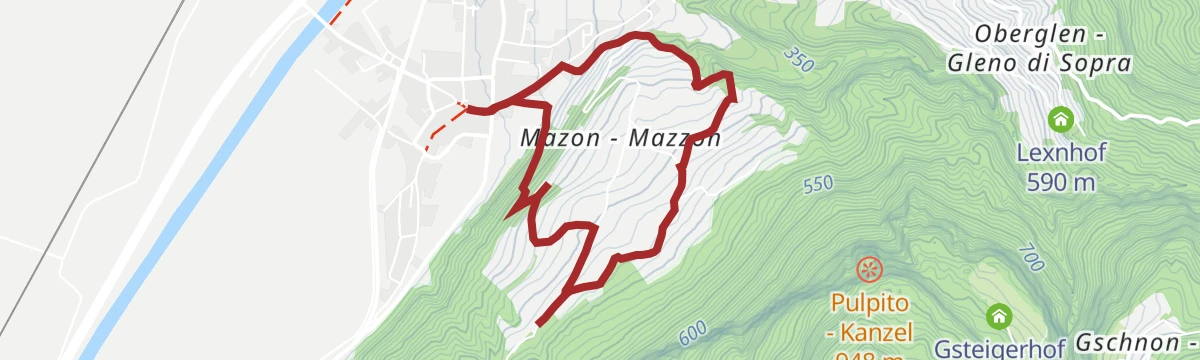
Open route Südtirols SüdenA delightful stroll to Mazon/Mazzon
A walk up to Mazzon through the vines of the Monte Corno park, on a slope known for its Pinot Noir.
- 4.8 km
- Distance
- 217 m
- Ascent
- 1 h 40 min
- Duration
Open route Südtirols SüdenMontan/Montagna - Glen/Gleno - Gschnon/Casignano - Gsteig - Montan/Montagna
A ring from Montagna through the Monte Corno park by Gleno, Casignano and Gsteig, with Castelfeder and the Mendola across the Adige valley.
- 13.7 km
- Distance
- 801 m
- Ascent
- 5 h 35 min
- Duration
- 5
- Check-ins
Open route Südtirols SüdenOn the tracks of A. Dürer: The Dürer path
The long Dürer route, tracing the detour the painter made in 1494 when the flooded Adige pushed him over Pochi towards the Cembra valley and Segonzano.
- 26.9 km
- Distance
- 1 606 m
- Ascent
- 10 h 27 min
- Duration
- 28
- Check-ins
- Sas delle Otto 322 m
- Rifugio Lago Santo 1 208 m
- Chiosco alle Piramidi 601 m
- Passo della Crocola 948 m
- Pozze 1 054 m
- Roccolo 940 m
- +6
Open route Südtirols SüdenCastelfeder – Trento – Garda
A cycle-path route down the Adige from Ora to Lake Garda, through orchards, vineyards and the old river towns.
- 92.1 km
- Distance
- 198 m
- Ascent
- 8 h 25 min
- Duration
- 172
- Check-ins
- Prati Del Diavolo 208 m
- Taio 189 m
- Garda Dolomiti Azienda per il turismo S.p.A. 69 m
- Soardi Center 212 m
- cappella di San Rocco 213 m
- Passo San Giovanni 272 m
- +15
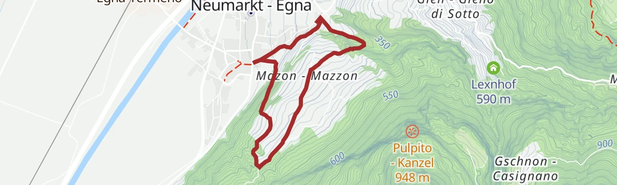
Open route Sterzing, Pfitsch und FreienfeldPinot Noir Walkway - alternative route: Neumarkt/Egna - Mazon/Mazzon - Neumarkt/Egna
An easy loop from Egna out to Mazzon and back through the Pinot Noir vineyards on the edge of the Monte Corno park.
- 5.1 km
- Distance
- 220 m
- Ascent
- 1 h 44 min
- Duration
Open route Südtirols SüdenTappa c | Cauria - Montagna
A stage dropping from Cauria over the Passo Cauria to Casignano and Gsteig, past the Gleno falls and along the old Fiemme railway into Montagna.
- 10.8 km
- Distance
- 144 m
- Ascent
- 3 h 38 min
- Duration
- 3
- Check-ins
Open route Sterzing, Pfitsch und FreienfeldTappa c1 | Anterivo - Montagna
A demanding stage dropping from Anterivo at 1,200 m to the Pinot Noir village of Montagna, by way of Malga Corno and the unstaffed Hackelboden hut.
- 15.2 km
- Distance
- 566 m
- Ascent
- 6 h 1 min
- Duration
- 28
- Check-ins
- Malga Monte Corno - Trudner Horn Alm 1 710 m
- Passo Cisa - Ziss-Sattel 1 448 m
- Hotel Waldheim 1 219 m
- Gsteigerhof - Maso Gsteiger 895 m
- Forsthütte Hackelboden 1 430 m
Open route Sterzing, Pfitsch und FreienfeldIn bici tra dolci vigneti e le maestose Dolomiti – da Egna a Castelrotto
A long climb-heavy ride from the vineyard country north of Trento up to the village of Castelrotto, with the Dolomites in view on the upper half.
- 55.5 km
- Distance
- 1 169 m
- Ascent
- 5 h 44 min
- Duration
- 146
- Check-ins
- Mila Bistro 282 m
- Kampill Center 270 m
- Hiasele 312 m
- Agrocenter Bozen OHG 296 m
- Tourist Information 1 069 m
- Hochklaus 380 m
- +13
Open route Seis am SchlernThe wine walk: from Mazon/Mazzon to Pinzon/Pinzano
A short walk between Mazzon and Pinzano through the vineyards that give Egna and Montagna their Pinot Noir.
- 2.1 km
- Distance
- 95 m
- Ascent
- 41 min
- Duration
Open route Südtirols SüdenNeumarkt/Egna – Kanzel
A family circuit from Egna climbing to the Kanzel, a wooded viewpoint terrace above the floor of the Adige valley.
- 11.0 km
- Distance
- 787 m
- Ascent
- 5 h 13 min
- Duration
- 2
- Check-ins
Open route Südtirols SüdenTappa c1 | Montagna – Anterivo
A demanding leg from the wine village of Montagna to Anterivo at 1,200 metres, by the Gleno waterfall and the unmanned Hackelboden hut.
- 15.2 km
- Distance
- 1 340 m
- Ascent
- 7 h 2 min
- Duration
- 28
- Check-ins
- Malga Monte Corno - Trudner Horn Alm 1 710 m
- Passo Cisa - Ziss-Sattel 1 448 m
- Hotel Waldheim 1 219 m
- Gsteigerhof - Maso Gsteiger 895 m
- Forsthütte Hackelboden 1 430 m
Open route Sterzing, Pfitsch und FreienfeldBy bike from gentle vineyards to the majestic Dolomites – from Egna to Castelrotto
A road tour that leaves the Adige vineyards on the South Tyrolean Wine Road and then climbs steadily to Castelrotto beneath the Dolomites.
- 55.3 km
- Distance
- 1 168 m
- Ascent
- 5 h 43 min
- Duration
- 130
- Check-ins
- Mila Bistro 282 m
- Hiasele 312 m
- Agrocenter Bozen OHG 296 m
- Tourist Information 1 069 m
- Hochklaus 380 m
- Puntnofen 311 m
- +12
Open route Südtirols SüdenHiking tour: Gschnon/Casignano - Königswiese
A climb from Casignano to the Königswiese, a 1,622-metre wooded height in the Monte Corno park between the Adige and the Aaltal.
- 9.7 km
- Distance
- 697 m
- Ascent
- 4 h 36 min
- Duration
- 1
- Check-ins
Open route Südtirols SüdenDürerweg
The full Dürerweg from the Adige lowlands over the Sauch pass to the Cembra valley, following the way Albrecht Dürer went in 1494.
- 28.1 km
- Distance
- 1 370 m
- Ascent
- 9 h 41 min
- Duration
- 25
- Check-ins
Castelfeder – Trient – Garda
The same Adige descent to Lake Garda on well-signed paths, at a gradient that suits riders of any standard.
- 91.6 km
- Distance
- 125 m
- Ascent
- 8 h 18 min
- Duration
- 110
- Check-ins
- Garda Dolomiti Azienda per il turismo S.p.A. 69 m
- cappella di San Rocco 213 m
- Passo San Giovanni 272 m
- Chiesa di Sant'Antonio 223 m
- Villa Eleganza 228 m
- Mori - Ala 167 m
- +7
Open route Südtirols SüdenGfrill/Cauria - Königswiese: Fabulous beech groves and pictorial forests
A circuit from Cauria climbing by two old farmsteads to Königswiese, a wooded top at 1,622 m reached through beech and mixed forest.
- 8.0 km
- Distance
- 356 m
- Ascent
- 2 h 45 min
- Duration
Open route Südtirols SüdenThe Dürer path - Hospice San Floriano to the Lago Santo
A Dürerweg stage from the old St. Florian hospice by Laghetti, climbing past the Madrutt cliff and the gorge at Salorno towards Lago Santo.
- 16.8 km
- Distance
- 1 447 m
- Ascent
- 7 h 21 min
- Duration
- 24
- Check-ins
- Sas delle Otto 322 m
- Rifugio Lago Santo 1 208 m
- Passo della Crocola 948 m
- Pozze 1 054 m
- Roccolo 940 m
- Baita Fiorita 1 095 m
- +5
Open route Südtirols SüdenTour to the Garda Lake
A long, nearly level ride down to the north end of Lake Garda and the villages along its shore.
- 96.2 km
- Distance
- 166 m
- Ascent
- 8 h 45 min
- Duration
- 110
- Check-ins
- Garda Dolomiti Azienda per il turismo S.p.A. 69 m
- cappella di San Rocco 213 m
- Passo San Giovanni 272 m
- ENI 197 m
- Villa Eleganza 228 m
- Visitrovereto.it 190 m
- +7
Open route Südtirols SüdenTappa b1 | Cauria – Aldino
A demanding stage from Cauria down over the Passo Cauria to Casignano and Molini, then steeply to the Malga Cislon and on to Aldino.
- 23.9 km
- Distance
- 1 343 m
- Ascent
- 9 h 43 min
- Duration
- 16
- Check-ins
- Cislon-Alm - Malga Cislon 1 254 m
- Al Ponte - Brückenwirt 764 m
- Dorfnerhof 950 m
- Infostelle Parco 1 331 m
- Gfriller Sattel - Sella di Cauria 1 450 m
Open route Sterzing, Pfitsch und FreienfeldFrom the Plateau to the "Wine-road"
A long road tour down to the Adige and north along the South Tyrolean wine road as far as the Lago di Caldaro, returning over Passo Santel.
- 100.2 km
- Distance
- 1 290 m
- Ascent
- 10 h 6 min
- Duration
- 105
- Check-ins
- Tre3 1 037 m
- Albergo El Paso 1 036 m
- Passo Santel 1 040 m
- La Rocchetta 2019 270 m
- Maso Cervara 245 m
- APT Dolomiti Paganella 1 021 m
- +14
Open route APT Dolomiti di Brenta e PaganellaThe Pinot Noir Trail
An educational route through the Pinot Noir vineyards of the Unterland, from Auer past Castelfeder and the Trudner Horn nature park.
- 16.2 km
- Distance
- 522 m
- Ascent
- 5 h 5 min
- Duration
- 9
- Check-ins
Open route Südtirols SüdenGita giornaliera al Lago di Garda
A road-bike day out to Lake Garda over the Passo San Giovanni, almost flat for its whole length.
- 98.6 km
- Distance
- 131 m
- Ascent
- 8 h 56 min
- Duration
- 98
- Check-ins
- Prati Del Diavolo 208 m
- Soardi Center 212 m
- cappella di San Rocco 213 m
- Passo San Giovanni 272 m
- Chiesa di Sant'Antonio 223 m
- ENI 197 m
- +12
Open route Sterzing, Pfitsch und FreienfeldIl sentiero di Dürer
A long low route on the Dürer trail, the way the painter is said to have travelled between the Cembra valley and the Adige.
- 22.7 km
- Distance
- 428 m
- Ascent
- 6 h 22 min
- Duration
- 8
- Check-ins
In bicicletta dal fascino medievale all’atmosfera mediterranea – da Glorenza a Egna
A day-long valley ride from Glorenza to Egna, following the Adige past apple orchards and wine cellars into the Bassa Atesina.
- 105.8 km
- Distance
- 20 m
- Ascent
- 9 h 39 min
- Duration
- 75
- Check-ins
- Maso al Lago - Schenk 237 m
- Quellensee 655 m
- Informationsbüro Kastelbell - Tschars - Associazione turistica di Castelbello - Ciardes 584 m
- Nationalpark Stelvio 913 m
- Moser's Speckhäusl 626 m
- Castelfeder - Grill-Imbiss - ristoro 221 m
- +8
Open route Sterzing, Pfitsch und FreienfeldM-10 Power Trail
A long route above Tramin to the Sas delle Otto, climbing out of the vineyards onto the wooded Mendola flank.
- 23.7 km
- Distance
- 384 m
- Ascent
- 6 h 29 min
- Duration
- 3
- Check-ins
By bike from medieval charm to Mediterranean flair – from Glurns to Neumarkt
A long, almost flat point-to-point down the Etschtal from the walled town of Glurns to Neumarkt, on cycle paths through orchards and vineyards.
- 105.5 km
- Distance
- 0 m
- Ascent
- 9 h 36 min
- Duration
- 70
- Check-ins
- Maso al Lago - Schenk 237 m
- Quellensee 655 m
- Informationsbüro Kastelbell - Tschars - Associazione turistica di Castelbello - Ciardes 584 m
- Nationalpark Stelvio 913 m
- Moser's Speckhäusl 626 m
- Castelfeder - Grill-Imbiss - ristoro 221 m
- +5
Open route Südtirols SüdenTappa c | Montagna - Cauria
The leg from Montagna to Cauria, on the disused Fiemme railway to the Gleno falls and then up through Gsteig and Casignano on forest paths.
- 10.8 km
- Distance
- 940 m
- Ascent
- 4 h 27 min
- Duration
- 3
- Check-ins
Open route Sterzing, Pfitsch und FreienfeldRadweg Unterland
A vineyard circuit south from Kurtatsch to Margreid, home of a grapevine planted in 1601, and Salurn, back along the Adige and past Lake Kaltern.
- 44.3 km
- Distance
- 254 m
- Ascent
- 4 h 10 min
- Duration
- 45
- Check-ins
- Appartement Florian 255 m
- Castelfeder - Grill-Imbiss - ristoro 221 m
- Turismusverein Kurtatsch - Informazioni Turistiche Cortaccia 344 m
- Pub Pizzeria Weinstraße 295 m
- Tramin 277 m
- Viktor's Imbiss 223 m
- +2
Open route Südtirols SüdenCircular hiking trail from Neumarkt/Egna via Laag/Laghetti to Buchholz/Pochi and Salurn/Salorno
A long circuit from Egna by Laghetti to Pochi and Salorno, on the Dürer route past the Roman bridge and up towards the Sauch pass.
- 17.9 km
- Distance
- 750 m
- Ascent
- 6 h 4 min
- Duration
- 1
- Check-ins
- Sas delle Otto 322 m
- Kalkofen - Calcara 363 m
- Höfelen 273 m
- Ansitz Karneid 223 m
- Anegg 425 m
- Baita Garba Garbenhütte 224 m
- +1
Open route Südtirols SüdenGita giornaliera a Trento
An easy day on the Adige cycle path from the Bolzano basin down to Trento.
- 56.4 km
- Distance
- 22 m
- Ascent
- 5 h 2 min
- Duration
- 43
- Check-ins
- Prati Del Diavolo 208 m
- ENI 197 m
- Castelfeder - Grill-Imbiss - ristoro 221 m
- gas 212 m
- BikeBreak - Bicigrill Faedo 208 m
- ex Lord Hotel 210 m
- +3
Open route Sterzing, Pfitsch und FreienfeldBike Tour: Waltherplatz
A long day from Kurtatsch to Bolzano on the Adige cycle path, returning over the Überetsch railway line through Eppan, Kaltern and Tramin.
- 62.7 km
- Distance
- 505 m
- Ascent
- 6 h 2 min
- Duration
- 39
- Check-ins
- Tourist Information 261 m
- Maso al Lago - Schenk 237 m
- Castelfeder - Grill-Imbiss - ristoro 221 m
- Turismusverein Kurtatsch - Informazioni Turistiche Cortaccia 344 m
- Tramin 277 m
- Freisingerhof 329 m
- +1
Open route Südtirols SüdenRoadbike: Südtiroler - Trientner Weinstraßen
A road tour south under the cliffs to Mezzocorona and Lavis, climbing to Pressano above the Trentino vineyards before the Adige path home.
- 73.5 km
- Distance
- 810 m
- Ascent
- 7 h 17 min
- Duration
- 38
- Check-ins
- Prati Del Diavolo 208 m
- Turismusverein Kurtatsch - Informazioni Turistiche Cortaccia 344 m
- Pub Pizzeria Weinstraße 295 m
- Passo Croce 616 m
- gas 212 m
- Da Silvio 211 m
- +6
Open route Südtirols SüdenFrom Ora to Trento
A level run up the Adige cycle path from Ora to Trento, past Castelfeder and the Faedo bike stop.
- 48.1 km
- Distance
- 21 m
- Ascent
- 4 h 18 min
- Duration
- 35
- Check-ins
- Prati Del Diavolo 208 m
- Castelfeder - Grill-Imbiss - ristoro 221 m
- gas 212 m
- BikeBreak - Bicigrill Faedo 208 m
- ex Lord Hotel 210 m
- Da Silvio 211 m
- +2
Open route Südtirols SüdenG-GE-03 Etschradweg
A long, level ride on the Adige valley cycleway, between the vineyards of Tramin, the shore of the Kalterer See and Castelfeder.
- 56.2 km
- Distance
- 283 m
- Ascent
- 5 h 14 min
- Duration
- 33
- Check-ins
Via Claudia Augusta, Merano-Salorno
The Via Claudia Augusta from Marlengo by Lana and Nalles to Bolzano, through the castle country south of Merano.
- 58.1 km
- Distance
- 157 m
- Ascent
- 5 h 21 min
- Duration
- 32
- Check-ins
- Maso al Lago - Schenk 237 m
- Castelfeder - Grill-Imbiss - ristoro 221 m
- Touristinfo 303 m
- Tourismusverein Marling 363 m
- Touristen Information - Ufficio informazioni turistiche 283 m
- Tourist Office Tscherms/Cermes 294 m
- +5
Open route Südtirols SüdenBike tour: Lake Monticolo- Lake di Caldaro
A ride from Neumarkt and Auer up to the two Montiggl lakes on a forest road, returning down the western shore and through Tramin and Rungg.
- 39.9 km
- Distance
- 493 m
- Ascent
- 3 h 60 min
- Duration
- 31
- Check-ins
- Seehotel Ambach 223 m
- Castelfeder - Grill-Imbiss - ristoro 221 m
- Turismusverein Kurtatsch - Informazioni Turistiche Cortaccia 344 m
- Tramin 277 m
- Viktor's Imbiss 223 m
- Freisingerhof 329 m
Open route Südtirols SüdenSouthern Wine Route, Wine & bike: Gewürztraminer and Pinot Noir
A wine-village tour to Salorno and back by way of Egna, Ora and Lake Kaltern, over the Kreiter Sattel; the Salorno-Ora leg can go by train.
- 46.8 km
- Distance
- 410 m
- Ascent
- 4 h 32 min
- Duration
- 31
- Check-ins
- Seehotel Ambach 223 m
- Appartement Florian 255 m
- Castelfeder - Grill-Imbiss - ristoro 221 m
- Turismusverein Kurtatsch - Informazioni Turistiche Cortaccia 344 m
- Tramin 277 m
- Kreiter Sattel - Sella di Novale al Varco 382 m
- +5
Open route Südtirols SüdenWeinstraße - Vino 50
An easy loop through the vineyards south of Bolzano, running from Margreid along the Adige past the Bicigrill at Faedo.
- 41.5 km
- Distance
- 55 m
- Ascent
- 3 h 44 min
- Duration
- 29
- Check-ins
- Prati Del Diavolo 208 m
- gas 212 m
- BikeBreak - Bicigrill Faedo 208 m
- Da Silvio 211 m
- La Cacciatora 210 m
- SV Margreid - GS Magrè 213 m
- +3
Open route Südtirols SüdenCycling and Sightseeing: Leuchtenburg/Castelchiaro Round Tour at Lake Caldaro
A round from Klughammer on the Kalterer See up to the Leuchtenburg ruin and back along the shore.
- 24.8 km
- Distance
- 243 m
- Ascent
- 2 h 26 min
- Duration
- 21
- Check-ins
- Seehotel Ambach 223 m
- Appartement Florian 255 m
- Castelfeder - Grill-Imbiss - ristoro 221 m
- Kreiter Sattel - Sella di Novale al Varco 382 m
Open route Südtirols SüdenBike Tour:Unterland
A tour of the southern wine villages from Kurtatsch by way of Margreid and Kurtinig to Salurn, with the Haderburg above and Laag on the way home.
- 46.3 km
- Distance
- 348 m
- Ascent
- 4 h 26 min
- Duration
- 19
- Check-ins
- Castelfeder - Grill-Imbiss - ristoro 221 m
- Turismusverein Kurtatsch - Informazioni Turistiche Cortaccia 344 m
- Tramin 277 m
- Viktor's Imbiss 223 m
- Freisingerhof 329 m
- Maval - Centro di Ippoterapia - Hippotherapiezentrum 209 m
- +3
Open route Südtirols SüdenBassa Atesina/Unterland Tour
A run along the South Tyrolean wine road, taking in the arcades of Egna, Cortaccia and Termeno.
- 25.2 km
- Distance
- 204 m
- Ascent
- 2 h 26 min
- Duration
- 18
- Check-ins
- Castelfeder - Grill-Imbiss - ristoro 221 m
- Turismusverein Kurtatsch - Informazioni Turistiche Cortaccia 344 m
- Tramin 277 m
- Viktor's Imbiss 223 m
- Freisingerhof 329 m
Open route Südtirols SüdenVia Claudia Augusta, Bolzano-Salorno lungo l’Adige
A level stage of the old Roman road south from Bolzano along the Adige, through the orchards of the Bassa Atesina past Castelfeder.
- 30.9 km
- Distance
- 0 m
- Ascent
- 2 h 45 min
- Duration
- 17
- Check-ins
- Maso al Lago - Schenk 237 m
- Castelfeder - Grill-Imbiss - ristoro 221 m
- Maier Anton Schotterwerk Bozen - Inerti Bolzano 243 m
- Safety Park 235 m
Open route Sterzing, Pfitsch und FreienfeldFrom Salorno to Bolzano
An easy valley ride heading north from the Trentino border through Egna and Ora, ending in the old streets of the provincial capital.
- 39.8 km
- Distance
- 90 m
- Ascent
- 3 h 35 min
- Duration
- 14
- Check-ins
Open route Südtirols SüdenWine Route Südtirols Süden
A circuit through the southernmost vineyards of South Tyrol, reaching Salurn at the province's edge and returning via Neumarkt and Auer.
- 42.4 km
- Distance
- 257 m
- Ascent
- 4 h
- Duration
- 12
- Check-ins
- Castelfeder - Grill-Imbiss - ristoro 221 m
- Turismusverein Kurtatsch - Informazioni Turistiche Cortaccia 344 m
- SV Margreid - GS Magrè 213 m
- Höfelen 273 m
- Ansitz Karneid 223 m
- Baita Garba Garbenhütte 224 m
Open route Südtirols SüdenVia Claudia Augusta, Andriano-Appiano-Caldaro-Salorno
The Überetsch line of the old Roman road, climbing to San Paolo and following the wine road south to Salorno.
- 37.4 km
- Distance
- 211 m
- Ascent
- 3 h 32 min
- Duration
- 9
- Check-ins
Open route Südtirols Süden
No routes of this kind in Egna/Neumarkt yet.
The region's own picks

Featured route
Tour of Gschnon / Casignano
A walk between the mountain hamlets of Casignano and Gsteig in the Monte Corno park, with ten information stops, a mill and the Klösterle.
Planning a trip to Egna/Neumarkt?
Everything else Trentino-Alto Adige/Südtirol has, in one place


Take Egna/Neumarkt with you into the mountains
Every route on this page with 3D terrain, GPX navigation and offline maps — including the valleys with no signal.
Data sources
- Official website: merano-suedtirol.it ↗
- Routes and highlights: Südtirols Süden, Kaltern an der Weinstraße, Sterzing, Pfitsch und Freienfeld, Tramin an der Weinstraße, Suedtiroler Unterland, Seis am Schlern, APT Dolomiti di Brenta e Paganella
- Published as open data by the tourist boards named above.
- Region summary generated from the board's own material.
