
- 9Highlights
- 47Routes
Highlights
6 from neighbouring places
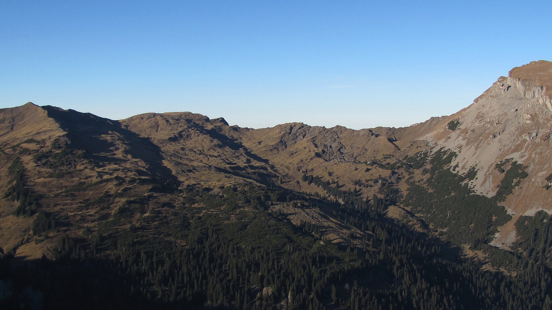
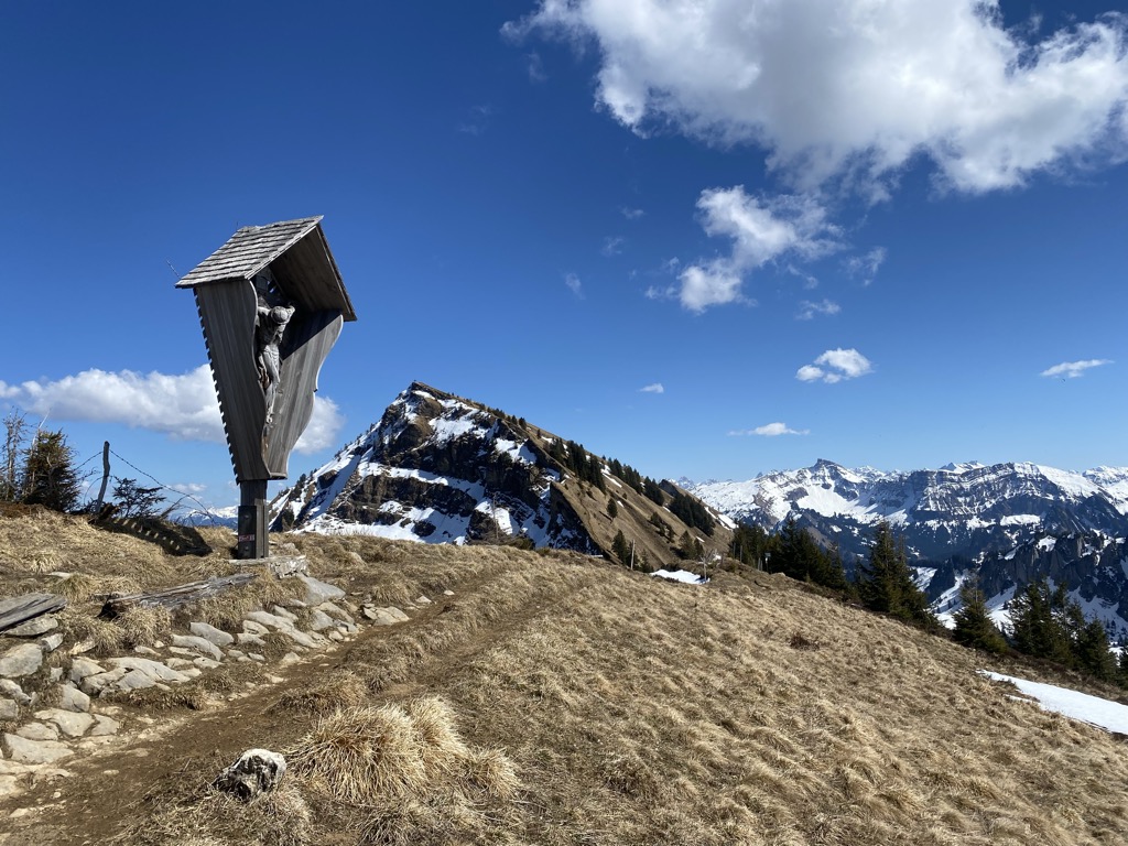
Berlingersköpfle
A 2,010 m secondary top of the Hählekopf in the Allgäu Alps, on the high ground south of Schönenbach.
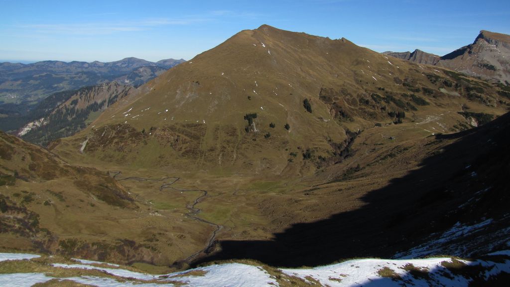
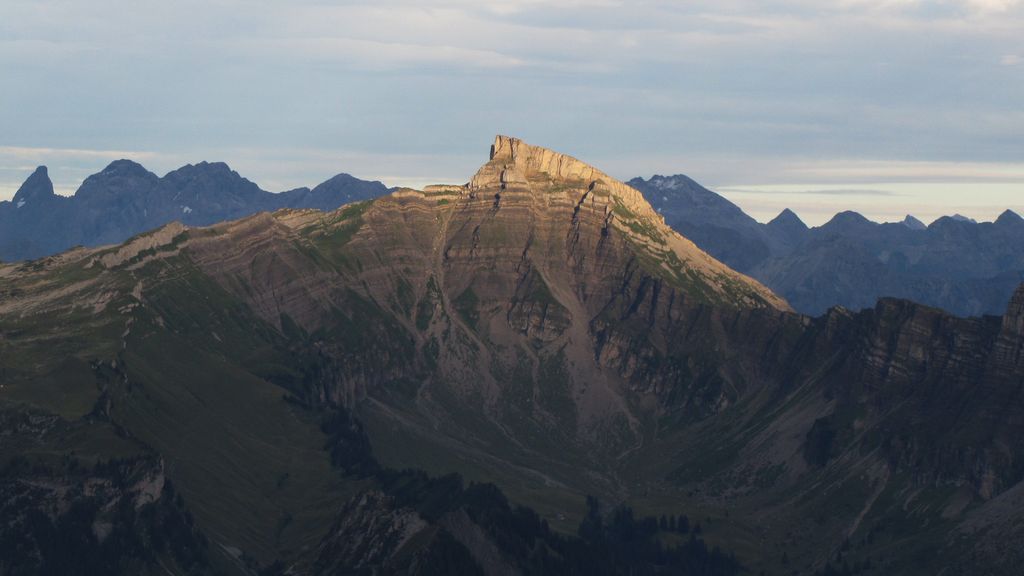
Hählekopf
A 2,058 m mountain of the Allgäu Alps, on the high ground between Schönenbach and the Kleinwalsertal.
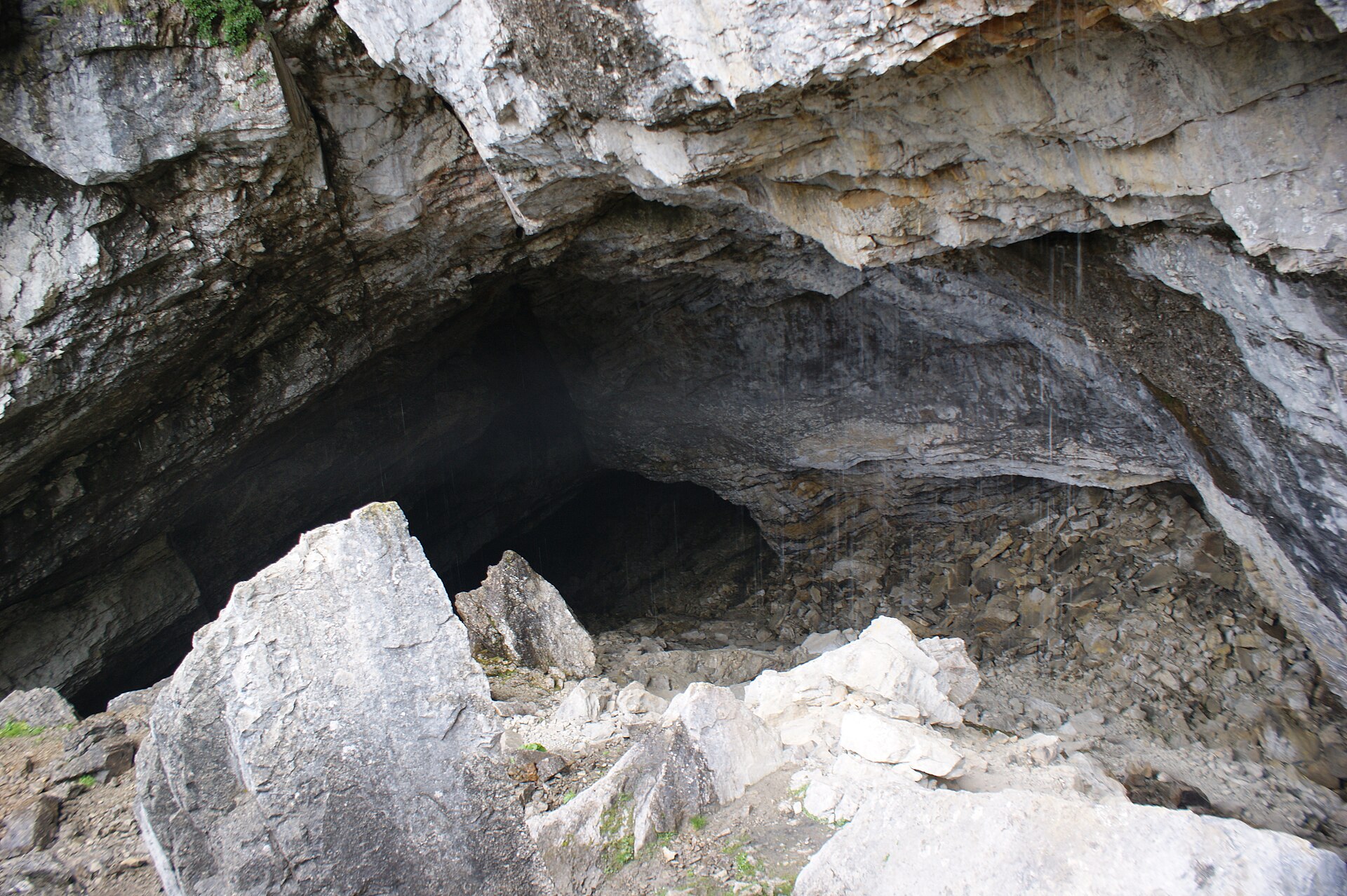
Schneckenlochhöhle
A large karst cave near Schönenbach, one of the biggest in Vorarlberg.
PeakVisor / OpenStreetMapStongerhöhe
A 1,772 m top on the ridge that carries the Winterstaude, less than a kilometre from that summit.
Winterstaude
A 1,877 m mountain south of Hittisau, its north side partly served by lifts and skied in winter.
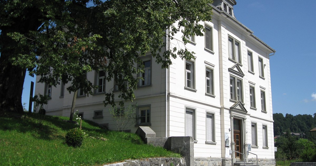
Egg Museum
The village museum in Egg in the Bregenzerwald, on local history, crafts and Wälder dress.
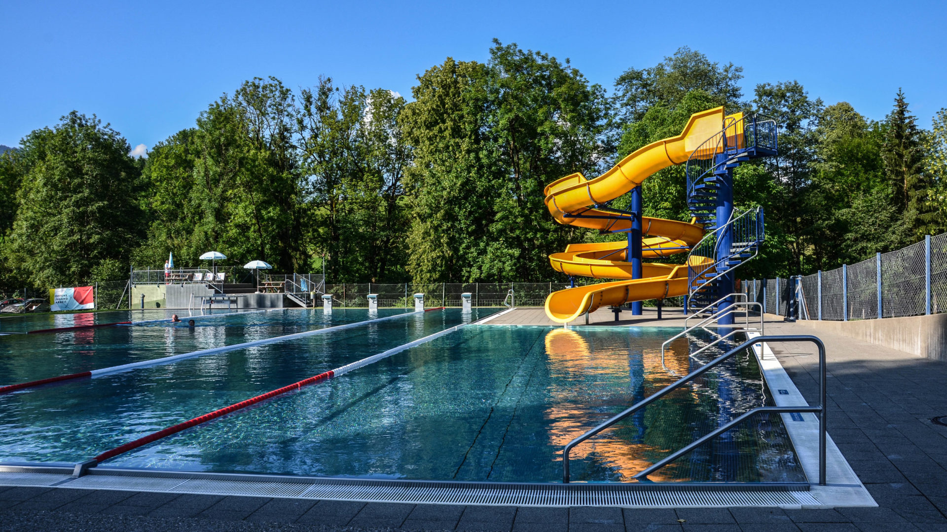
Schwimmbad Egg
An open-air pool with a fifty-metre yellow-and-orange slide that turns several times on the way down.
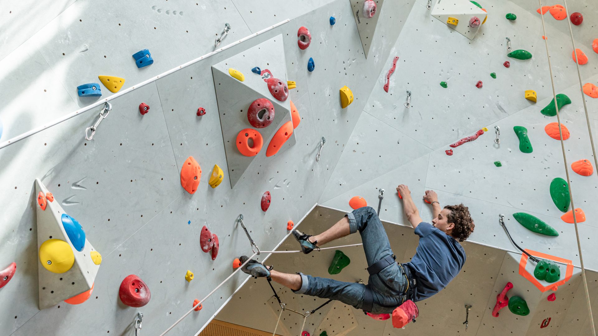
Kletterwald Egg
A climbing hall of about 500 m² of wall, built into the new middle-school building alongside its sports hall.
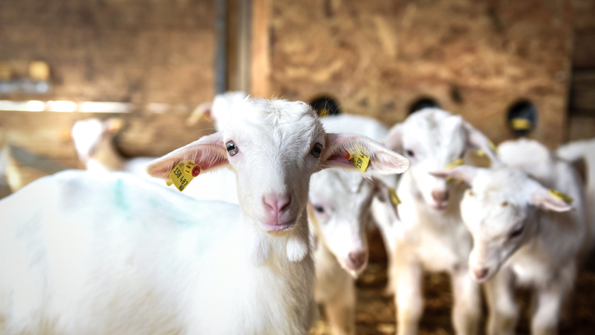
Bauernhof be-greifen in Egg
A working farm run to be walked through, where the whole agricultural cycle can be watched at close quarters.
Lingenauerealpe
1.9 km away, in Bezau
An alp at 1,594 m on the Winterstaude ridge, a few hundred metres from the summit line.
PeakVisor / OpenStreetMapSammerealpe
2.1 km away, in Bezau
An alp at 1,525 m three kilometres north of the village, close under the Schreiberesattel.
PeakVisor / OpenStreetMapStonger Sattel
2.2 km away, in Andelsbuch
A saddle at 1,639 m on the ridge east of the village, between the Niedere and the Winterstaude.
Hintere Niedere
2.6 km away, in Andelsbuch
A 1,715 m top on the Niedere plateau east of the village, the high point of the walking country up there.
Luguntenkopf
2.7 km away, in Bezau
A 1,702 m top about 3 km north-east of the village, the highest listed here.
Baumgartenhöhe
3.5 km away, in Andelsbuch
A 1,640 m rise beside the Baumgarten top station, two kilometres south-east of the village.
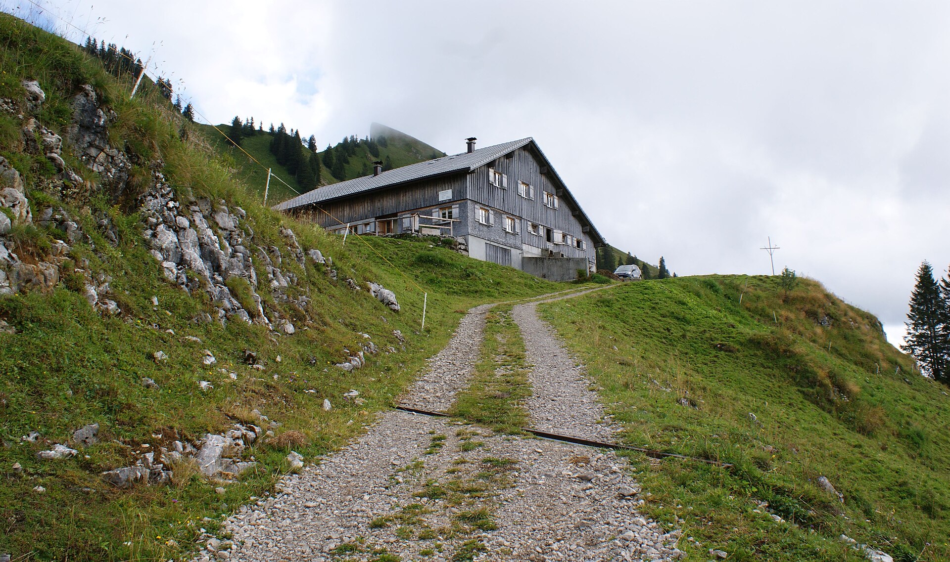
 Mountain hut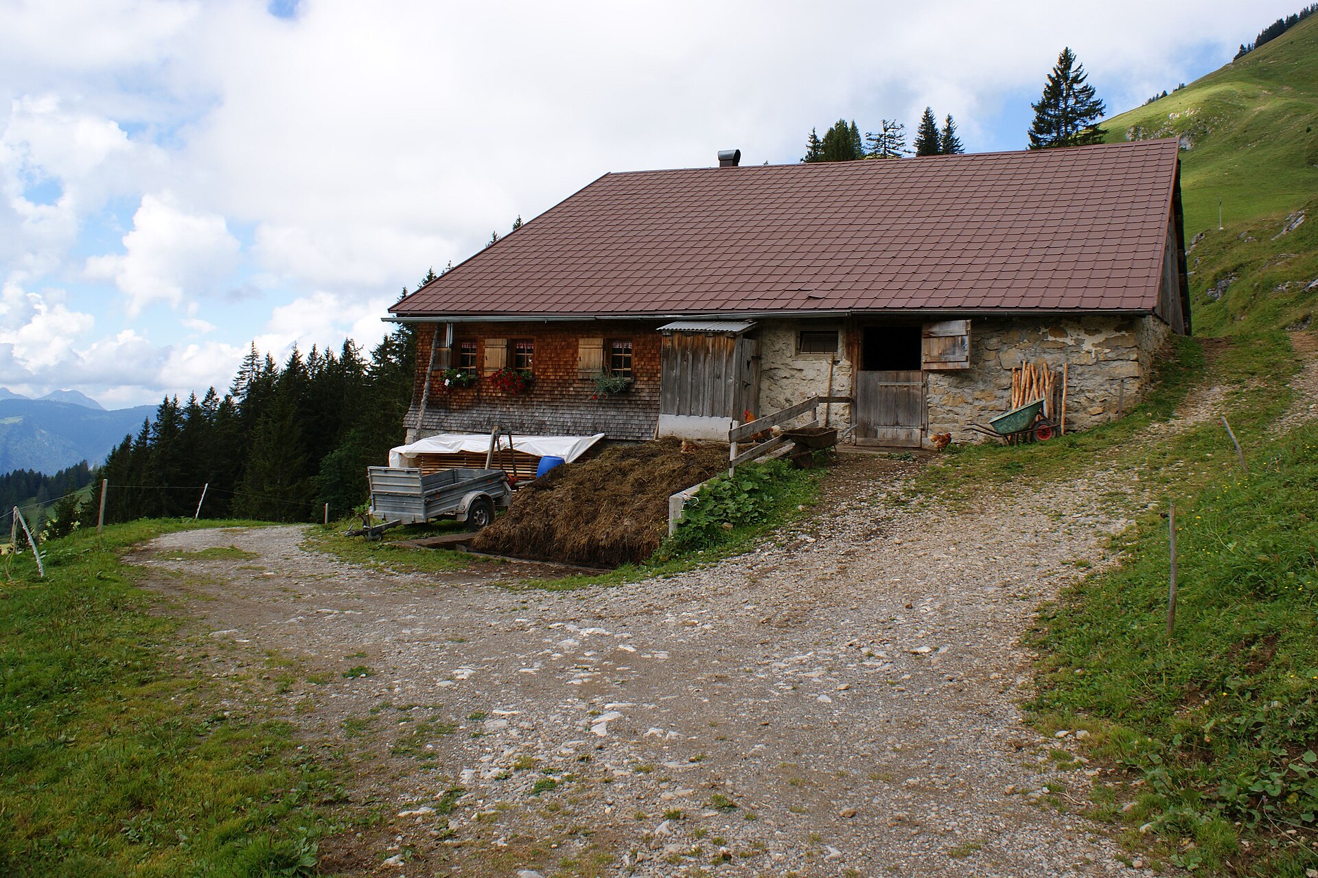
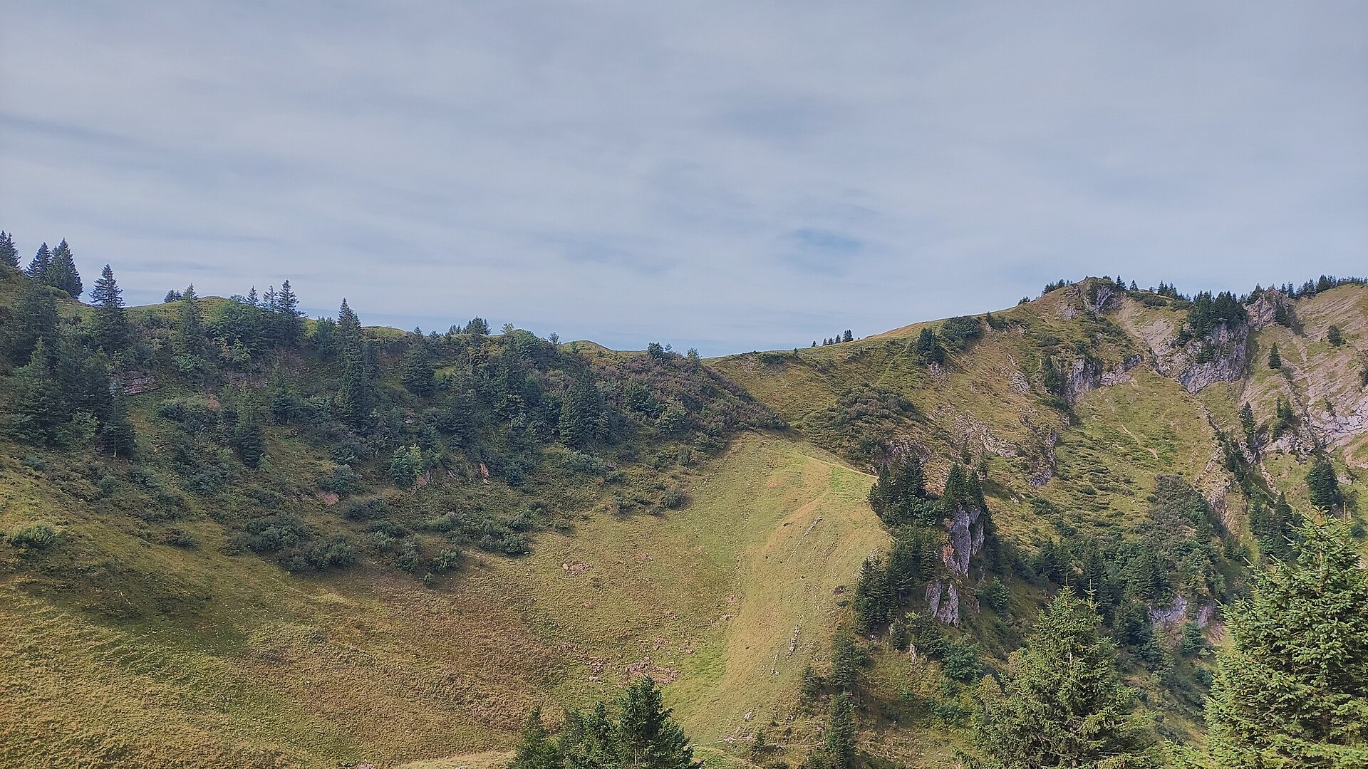
 Mountain pass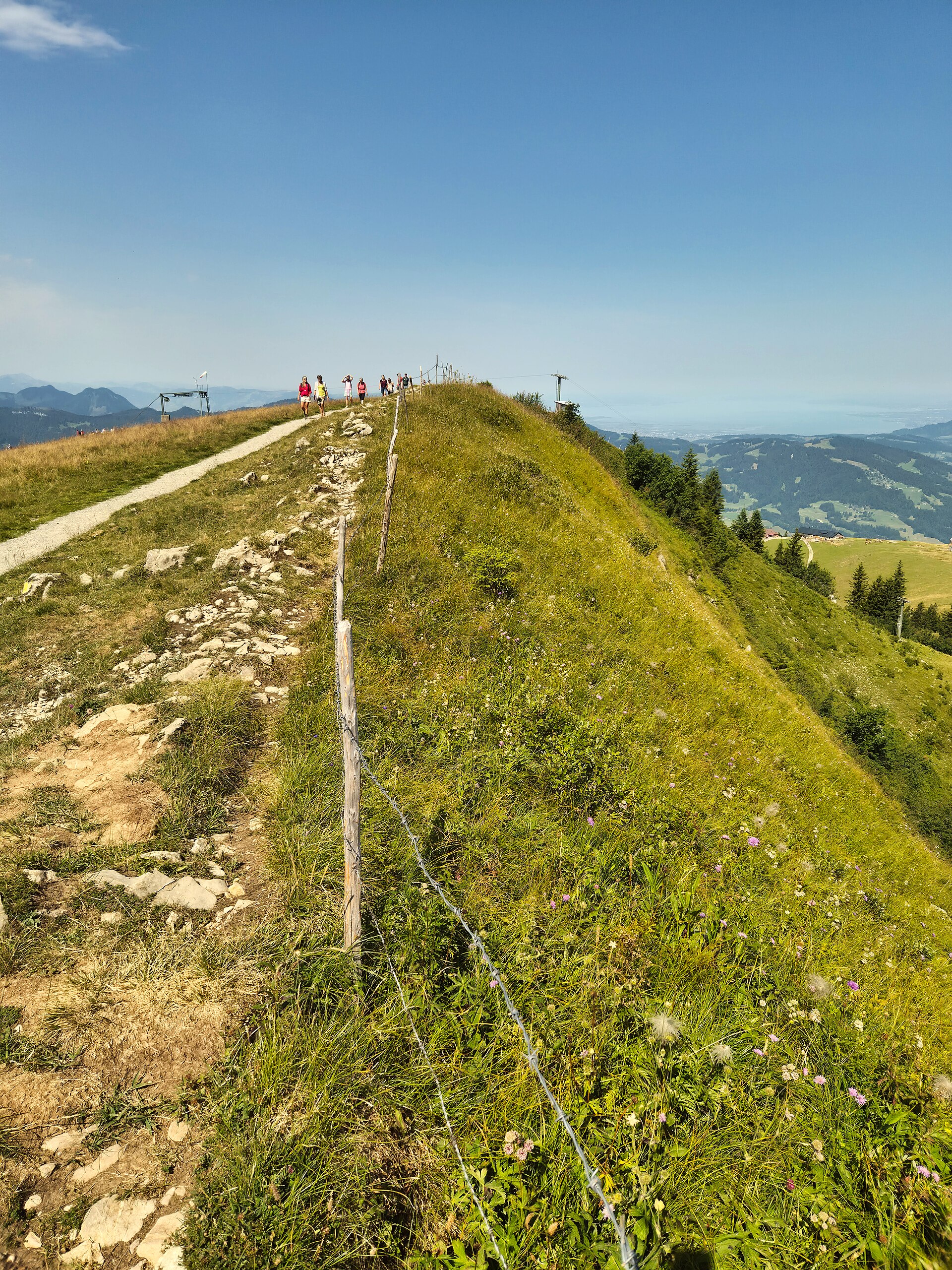
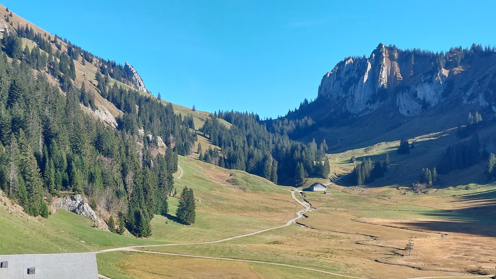
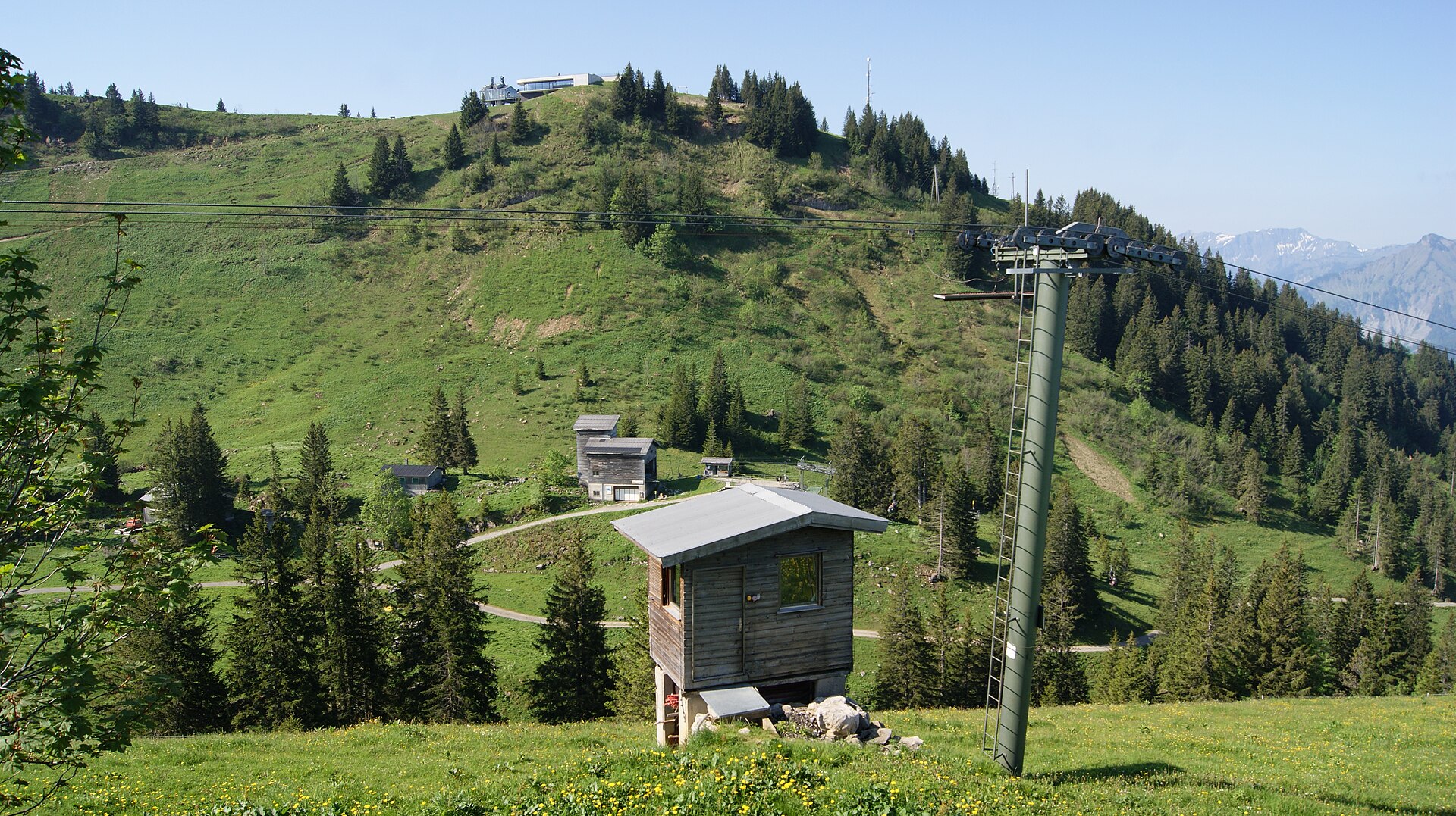
Nothing of this kind in Egg.
Routes
Bezau | Panoramaweg zur Niedere Höhe
A gentle climb beside the piste from Baumgarten to the Niedere Höhe, which looks to the Swiss Alps and Lake Constance.
- 5.9 km
- Distance
- 232 m
- Ascent
- 1 h 58 min
- Duration
Open route Vorarlberg TourismusAndelsbuch | Niedere – Winterstaude
Across the Niedere plateau past abandoned alps to the Winterstaude, a grass summit with one exposed 100 m crossing.
- 8.8 km
- Distance
- 553 m
- Ascent
- 3 h 48 min
- Duration
Open route Vorarlberg TourismusBergtour über den Hohen Ifen
A demanding alpine round over the Hoher Ifen, one of the best-known Walser summits, from the Ifenbahn valley station.
- 13.9 km
- Distance
- 928 m
- Ascent
- 6 h 14 min
- Duration
Open route Vorarlberg TourismusSchetteregg - Bullerschkopf
A ski tour from Schetteregg to Bullerschkopf, 679 m of climbing in 4.5 km to a high point of 1,738 m.
- 4.0 km
- Distance
- 0 m
- Ascent
- 0 m
- Descent
- 59 min
- Duration
Open route PeakVisor tTRL (OpenStreetMap piste_type=skitour)Auenhütte - Hoher Ifen
From Auenhütte at 1,271 m, 8 km and 964 m of climbing to Hoher Ifen at 2,201 m.
- 6.6 km
- Distance
- 0 m
- Ascent
- 0 m
- Descent
- 1 h 36 min
- Duration
Open route PeakVisor tTRL (OpenStreetMap piste_type=skitour)40 Jahre Bodensee-Radweg: Den Bregenzerwald entdecken
A ride along the Bregenzerache that can be combined with the R1 cycle bus, past old Wälder houses and new timber buildings.
- 47.1 km
- Distance
- 596 m
- Ascent
- 4 h 47 min
- Duration
Open route Vorarlberg TourismusAndelsbuch | Von der Niedere nach Schönenbach
A descending traverse from the Niedere plateau across the middle mountains into the vorsäß village of Schönenbach.
- 11.1 km
- Distance
- 386 m
- Ascent
- 4 h 12 min
- Duration
Open route Vorarlberg TourismusBezau | Schönenbach – Hoher Ifen
From the Schönenbach car park onto the Hoher Ifen and back by the Halden Hochalpe, on the great limestone plateau.
- 19.5 km
- Distance
- 1 402 m
- Ascent
- 9 h 13 min
- Duration
Open route Vorarlberg TourismusSchetteregg - Tristenkopf
From Schetteregg at 1,070 m, 654 m of ascent over 3.1 km to Tristenkopf.
- 2.8 km
- Distance
- 0 m
- Ascent
- 0 m
- Descent
- 41 min
- Duration
Open route PeakVisor tTRL (OpenStreetMap piste_type=skitour)Egg | Skitour Winterstaude
A much-used ski tour close to Egg; steep grass beneath, but north-facing descent slopes that hold snow well.
- 4.4 km
- Distance
- 839 m
- Ascent
- 35 m
- Descent
- 2 h 21 min
- Duration
Open route Vorarlberg TourismusAlberschwende | Achtalweg bis Andelsbuch – Bödele – Alberschwende
A long e-bike round by Egg, Andelsbuch and Schwarzenberg up to the Bödele, returning through Dornbirn.
- 39.2 km
- Distance
- 966 m
- Ascent
- 4 h 23 min
- Duration
Open route Vorarlberg TourismusArchitekturweg Bregenzerwald | Lingenau – Egg – Schwarzenberg (Etappe 2)
The second stage of the architecture trail, from Lingenau by Egg to Schwarzenberg past notable timber buildings.
- 11.2 km
- Distance
- 472 m
- Ascent
- 3 h 46 min
- Duration
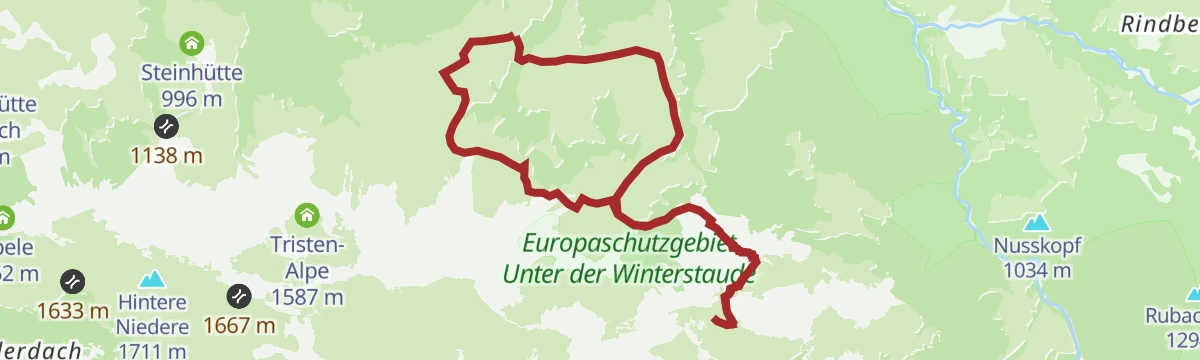
Open route Vorarlberg TourismusEgg | Amagmach – Winterstaude – Amagmach
A demanding round from Amagmach to the Winterstaude, mostly on paths, with ridge walking and cable-secured steps.
- 13.1 km
- Distance
- 1 006 m
- Ascent
- 6 h 32 min
- Duration
Open route Vorarlberg TourismusSchönenbach - Hoher Ifen
Hoher Ifen from Schönenbach: 1,250 m of climbing in 10.6 km, topping out at 2,201 m.
- 9.0 km
- Distance
- 0 m
- Ascent
- 0 m
- Descent
- 2 h 12 min
- Duration
Open route PeakVisor tTRL (OpenStreetMap piste_type=skitour)Andelsbuch | Rund um die Winterstaude
A circuit of the Winterstaude through a quiet valley, demanding enough that good bike-handling is assumed.
- 38.4 km
- Distance
- 1 376 m
- Ascent
- 4 h 42 min
- Duration
Open route Vorarlberg TourismusEgg | Entlang der alten Bahntrasse & über die Subersach
Along the old railway line beside the Bregenzerache and past the Lingenau tufa, one of the great sinter formations north of the Alps.
- 8.9 km
- Distance
- 315 m
- Ascent
- 2 h 50 min
- Duration
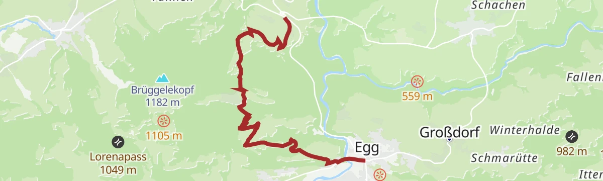
Open route Vorarlberg TourismusEgg | Die Aussicht über Egg genießen
A round from the centre of Egg over the high bridge to Kaltenbrunnen, which looks out over the Vorderwald villages.
- 15.4 km
- Distance
- 694 m
- Ascent
- 5 h 20 min
- Duration
Open route Vorarlberg TourismusSkitour vom Parkplatz Ifen auf den Hählekopf
A ski tour up the Schwarzwassertal from the Ifen car park, on ground shared with wildlife and best kept to the marked line.
- 13.0 km
- Distance
- 808 m
- Ascent
- 806 m
- Descent
- 4 h 14 min
- Duration
Open route Vorarlberg TourismusAu-Schoppernau | Schönenbach – Schreiberesattel
A ride for strong legs from Au over the Stoggersattel to Schönenbach and back by the Schreiberesattel.
- 49.0 km
- Distance
- 1 906 m
- Ascent
- 6 h 9 min
- Duration
Open route Vorarlberg TourismusEgg | Schwebend über die Subersach
A shaded valley round from Egg to the Drahtsteg, a 57 m wire-rope footbridge hanging 15 m above the Subersach.
- 10.0 km
- Distance
- 353 m
- Ascent
- 3 h 13 min
- Duration
Open route Vorarlberg TourismusHittisau | über Schetteregg nach Großdorf
From Hittisau up to the hamlet of Stöcken at the foot of the Hittisberg, then over the Hinterberg alps to Großdorf.
- 20.0 km
- Distance
- 716 m
- Ascent
- 6 h 34 min
- Duration
Open route Vorarlberg TourismusBezau | Schönenbach – Schreiberesattel
A hard ride from Bezau to Schönenbach and back over the Schreiberesattel and the Wildmoos alps.
- 29.5 km
- Distance
- 1 233 m
- Ascent
- 3 h 47 min
- Duration
Open route Vorarlberg TourismusEgg | Von Egg nach Alberschwende
A winter walk from the village square at Egg by Kaltenbrunnen to Alberschwende, leaving the summer line where it is snowed over.
- 9.2 km
- Distance
- 394 m
- Ascent
- 2 h 58 min
- Duration
Open route Vorarlberg TourismusKäseweg Bregenzerwald | Schetteregg – Au (3. Etappe)
The third stage of the Käseweg, from Schetteregg over the Hammeratsberg vorsäß and Schönenbach down to Au.
- 20.4 km
- Distance
- 718 m
- Ascent
- 6 h 47 min
- Duration
Open route Vorarlberg TourismusEgg | Achtal-Runde
A round from Egg to Alberschwende and back along the trackbed of the old Bregenzerwald railway.
- 23.6 km
- Distance
- 585 m
- Ascent
- 2 h 38 min
- Duration
Open route Vorarlberg TourismusEgg | Von Schetteregg auf den Bullerschkopf
A round through the Schetteregg alp country to the Bullerschkopf, starting at the car park by the ski lifts.
- 11.8 km
- Distance
- 808 m
- Ascent
- 5 h 23 min
- Duration
Open route Vorarlberg TourismusMin Weag 08 | Schönenbach – Mittelberg
A hard full-day crossing from the Bregenzerwald into the Kleinwalsertal that demands good route-finding.
- 18.3 km
- Distance
- 1 289 m
- Ascent
- 8 h 13 min
- Duration
Open route Vorarlberg TourismusGraveltour Bregenzerwald Kurz
A short gravel round out of Andelsbuch through the Vorderwald and back.
- 25.3 km
- Distance
- 623 m
- Ascent
- 2 h 50 min
- Duration
Open route Vorarlberg TourismusEgg | Zum Sonnenhang Kaltenbrunnen
From the centre of Egg over the sunny slope at Kaltenbrunnen to Müselbach, with views the whole way.
- 7.1 km
- Distance
- 369 m
- Ascent
- 2 h 31 min
- Duration
Open route Vorarlberg TourismusSibratsgfäll | Zum schönsten Vorsäß – Sibratsgfäll-Schönenbach
A wild route through the Subersach gorge from Sibratsgfäll to the vorsäß village of Schönenbach and back.
- 15.5 km
- Distance
- 350 m
- Ascent
- 4 h 29 min
- Duration
Open route Vorarlberg TourismusHandwerk und Innovation
A ride through the Bregenzerwald along its craft tradition, from timber building to fair-faced concrete.
- 38.7 km
- Distance
- 622 m
- Ascent
- 4 h 4 min
- Duration
Open route Vorarlberg TourismusEgg | Zur Alpe Erles Finne
An easy walk to the Alpe Erles Finne, a dairy alp worked by the Wirth family from early May to mid-September.
- 9.3 km
- Distance
- 550 m
- Ascent
- 3 h 12 min
- Duration
Open route Vorarlberg TourismusHittisau | Mittelwald-Runde
A varied road round through the Bregenzerwald with sporting climbs and long descents, for riders in good shape.
- 35.3 km
- Distance
- 515 m
- Ascent
- 3 h 37 min
- Duration
Open route Vorarlberg TourismusKäseweg Bregenzerwald | Hittisau – Schetteregg (2. Etappe)
The second stage of the Käseweg, running from the soft foothills near Sulzberg to the dairy alps above Schetteregg.
- 14.8 km
- Distance
- 799 m
- Ascent
- 5 h 5 min
- Duration
Open route Vorarlberg TourismusLingenau | Rund um die Subersach
A mountain-bike round over the Rotenberg selection forest to Hittisau and Sibratsgfäll, back by the Schetteregg alps.
- 33.9 km
- Distance
- 820 m
- Ascent
- 3 h 47 min
- Duration
Open route Vorarlberg TourismusLingenau | Durch die Subersachschlucht
From the middle of Lingenau down into the Gschwendtobel and through the gorges of the Subersach.
- 9.0 km
- Distance
- 365 m
- Ascent
- 3 h
- Duration
Open route Vorarlberg TourismusMellau l Rennrad Mellau – Lorenapass
A road ride linking eight villages of the middle Bregenzerwald over the Bödele and the Lorenapass.
- 42.9 km
- Distance
- 738 m
- Ascent
- 4 h 30 min
- Duration
Open route Vorarlberg TourismusLingenau | Negrellirunde
A demanding round from the Rotenberg down to the Negrelli bridge, needing a sure foot.
- 11.5 km
- Distance
- 367 m
- Ascent
- 3 h 36 min
- Duration
Open route Vorarlberg TourismusMellau l Rennrad Mellau – Vorderwald
A long road round out of Mellau taking in most of the villages of the outer Bregenzerwald.
- 51.4 km
- Distance
- 894 m
- Ascent
- 5 h 24 min
- Duration
Open route Vorarlberg TourismusSchetteregg | Auf den Tristenkopf
A mountain walk to the Alpe Andlisbrongen, where alp cheese and butter are made from mid-May to early September.
- 11.0 km
- Distance
- 756 m
- Ascent
- 5 h 21 min
- Duration
Open route Vorarlberg TourismusRadweg Bregenzerwald
The valley cycle route from Schoppernau down to Doren, following the Bregenzerache the whole way.
- 39.4 km
- Distance
- 234 m
- Ascent
- 3 h 51 min
- Duration
Open route Vorarlberg TourismusSibratsgfäll | Entlang der Subersach
One of six waymarked trails here, from the Krähenberg car park to the Iferalpe and across the Subersach.
- 10.5 km
- Distance
- 275 m
- Ascent
- 3 h 8 min
- Duration
Open route Vorarlberg TourismusSchwarzenberg | Bödele – Brüggelekopf – Egg – Schwarzenberg
An e-bike round from Schwarzenberg up to the Bödele and back by Egg and the Ach reservoir.
- 31.1 km
- Distance
- 1 095 m
- Ascent
- 3 h 48 min
- Duration
Open route Vorarlberg TourismusSibratsgfäll | Iferalpe – Schönenbach
An easy round on made-up alp roads from the Krähenberg car park into the vorsäß country around Schönenbach.
- 13.3 km
- Distance
- 303 m
- Ascent
- 3 h 51 min
- Duration
Open route Vorarlberg TourismusSchwarzenberg | Schetteregg Runde
A forest-road circuit past vorsäß settlements, among them the quiet Fallenbach with its old farmhouses.
- 36.6 km
- Distance
- 1 269 m
- Ascent
- 4 h 27 min
- Duration
Open route Vorarlberg TourismusVorsäßgebiet & Naturpark Nagelfluhkette | Lingenau – Schetteregg – Sibratsgfäll – Lingenau
A mountain-bike route from Lingenau through the Schetteregg vorsäß country into the Nagelfluhkette nature park.
- 34.4 km
- Distance
- 811 m
- Ascent
- 3 h 49 min
- Duration
Open route Vorarlberg TourismusWald- und Wiesentour durch den Bregenzerwald
Meadow and forest tracks out of Egg through Schönenbach and Bezau, climbing 1,000 m across the Bregenzerwald.
- 39.8 km
- Distance
- 1 108 m
- Ascent
- 4 h 35 min
- Duration
Open route Vorarlberg Tourismus GmbH






No routes of this kind in Egg yet.
Planning a trip to Egg?
Everything else Vorarlberg has, in one place


Take Egg with you into the mountains
Every route on this page with 3D terrain, GPX navigation and offline maps — including the valleys with no signal.
Data sources
- Official website: egg.at ↗
- Routes and highlights: Vorarlberg Tourismus, PeakVisor / OpenStreetMap, PeakVisor tTRL (OpenStreetMap piste_type=skitour), Bregenzerwald Tourismus, Egg, Vorarlberg Tourismus GmbH
- Published as open data by the tourist boards named above.
- Region summary generated from the board's own material.
