
Curated by Vorarlberg Tourismus
Doren
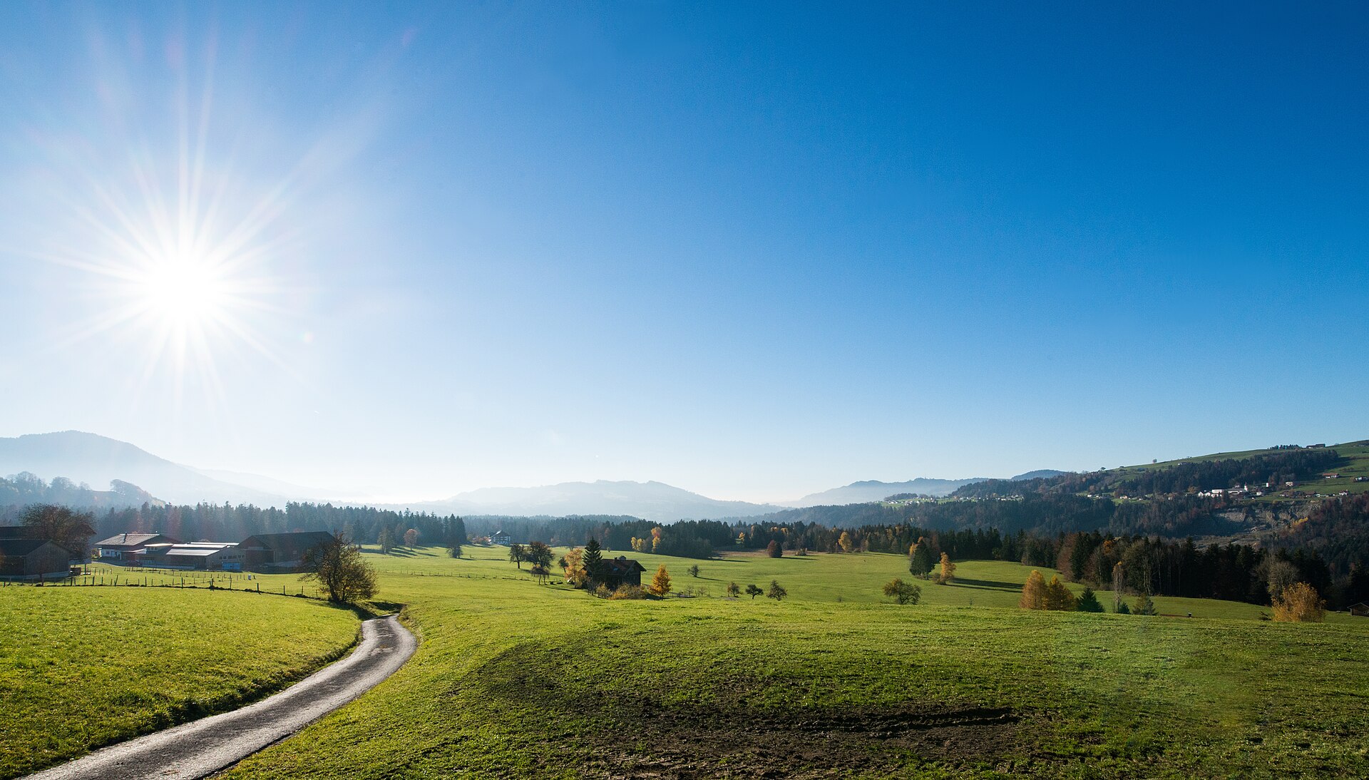
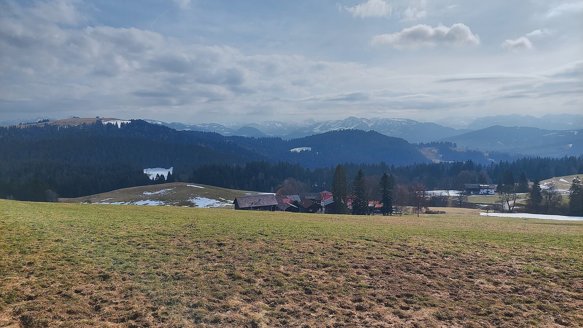
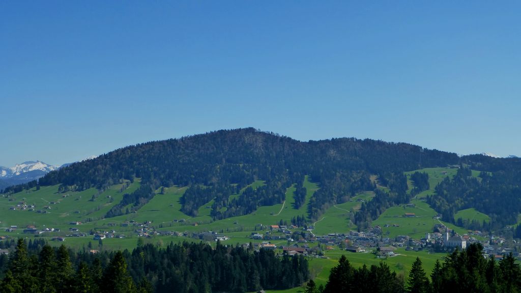
A sunny south-facing terrace at 700 m, where Austria's first cheese-making school opened in 1901.
- 1Highlights
- 5Routes
Highlights
14 from neighbouring places
Unser KleinWien
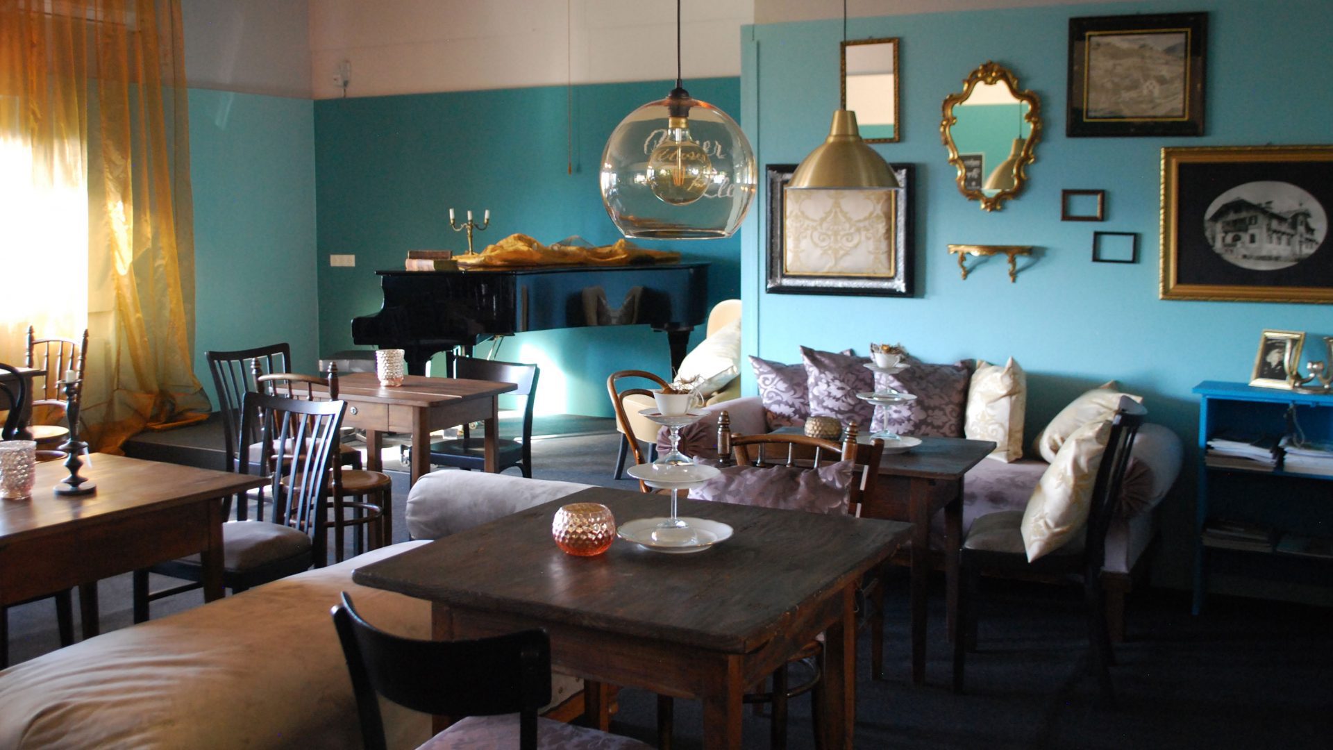
A disused bakery in the middle of the village, bought by the municipality and given a new use.
 Natural feature Feel free to use my photos, but please mention me as the author and if you want send me a message. or (rufre@lenz-nenning.at) · CC BY-SA 3.0 at
Roßbad
2 km away, in Krumbach
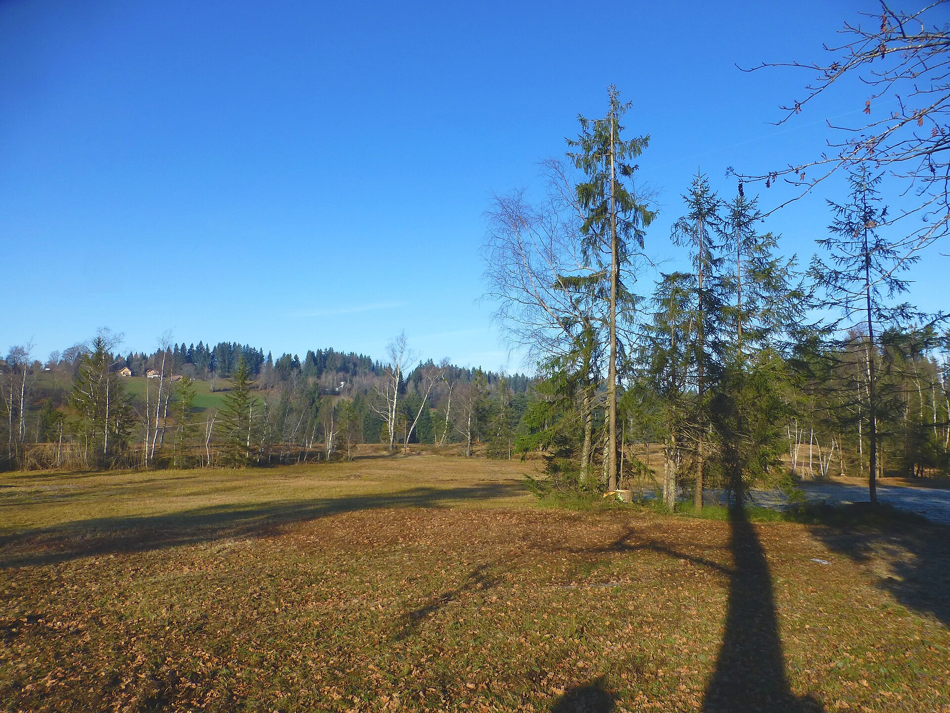
A nature reserve of 103 hectares at about 660 m in the west of the municipality.
PeakVisor / OpenStreetMapSulzberg | Moorbad Oberköhler
3 km away, in Sulzberg
A moor bath on the belt of bog with its rare flora that runs for kilometres along the ridge north of the village.
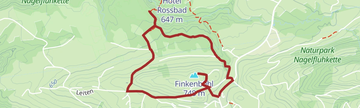
Finkenbühl
3.2 km away, in Langenegg
A rise of 748 m immediately north of the village centre, on the edge of the Nord nature reserve.
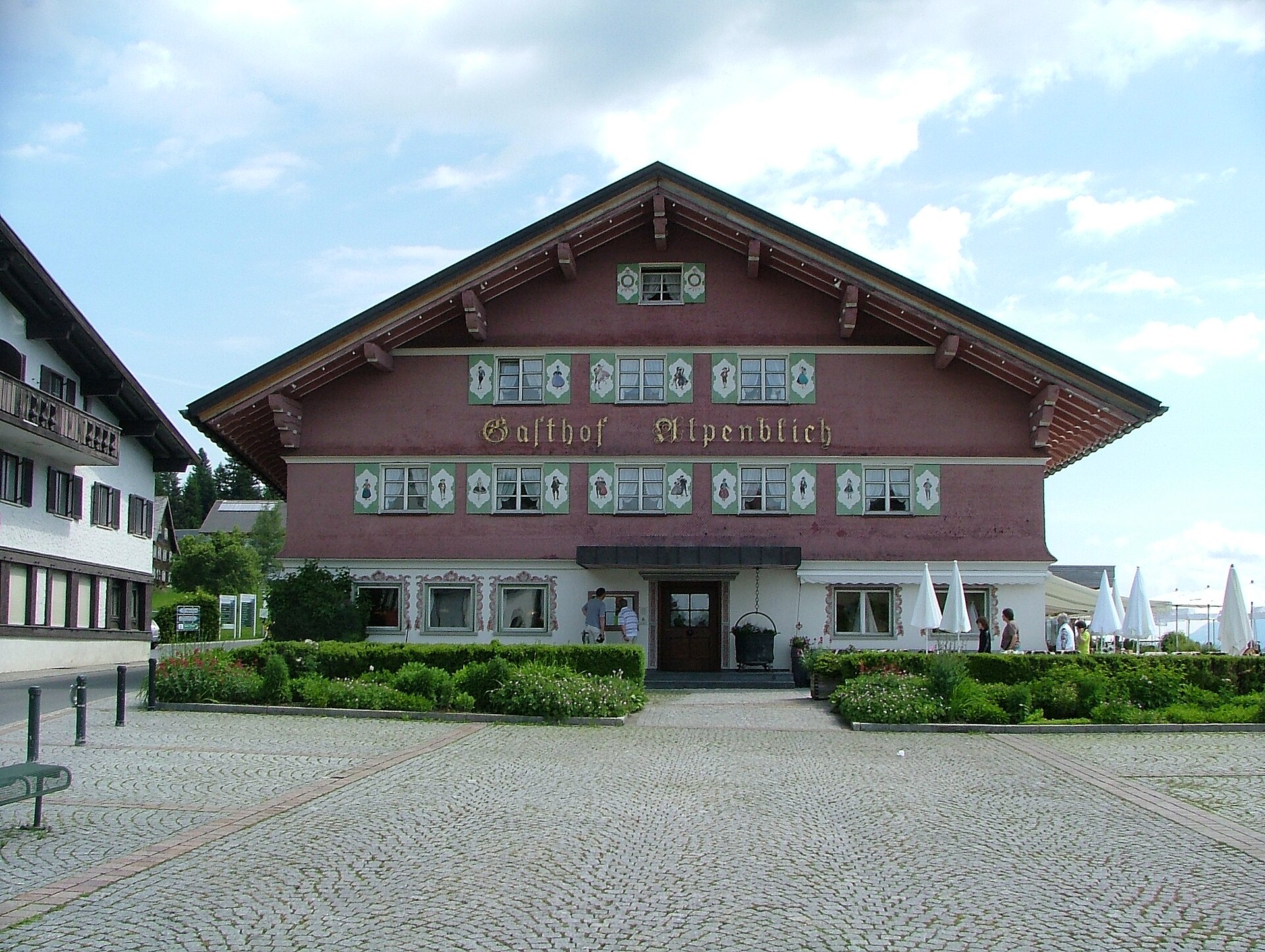
Gasthof Alpenblick
4.1 km away, in Sulzberg
An inn on the plateau half a kilometre south-west of the village square, looking out over the Bregenzerwald.
PeakVisor / OpenStreetMapBaukultur in Sulzberg
4.2 km away, in Sulzberg
The building heritage of Sulzberg and Thal, from the Empire-style church designed by Alois Negrelli onwards.
Hirschberg
4.8 km away, in Langen bei Bregenz
A 1,095 m top a kilometre north-west of the village, on the southern ridge of the Pfänder.
Geserberg
4.9 km away, in Langen bei Bregenz
A mountain flank on the south-western spur of the Hirschberg, its high point at 939 m, part of the Pfänder ridge.
Museum-Depot in Alberschwende
6 km away, in Alberschwende
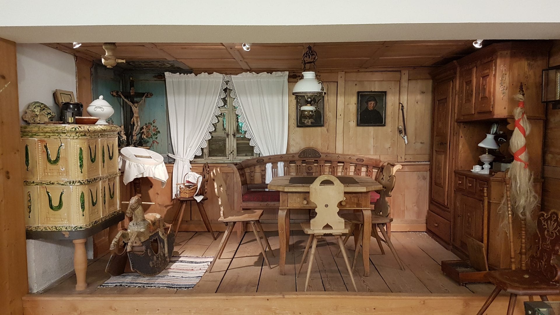
An open store museum shown by guided visit, its collection covering the years before motorisation.
Brüggelekopf
6.1 km away, in Alberschwende
The village's own mountain at 1,182 m, a summit of the Bregenzerwald range reached from the old lift station.
Farnacher Moos
6.5 km away, in Alberschwende
A protected bog on the low ground below the village, crossed by the walking route from Schwarzach.
PeakVisor / OpenStreetMapRotenberg
6.4 km away, in Hittisau
A 994 m hill north-east of the village, covered by the selection forest the local theme trail explains.
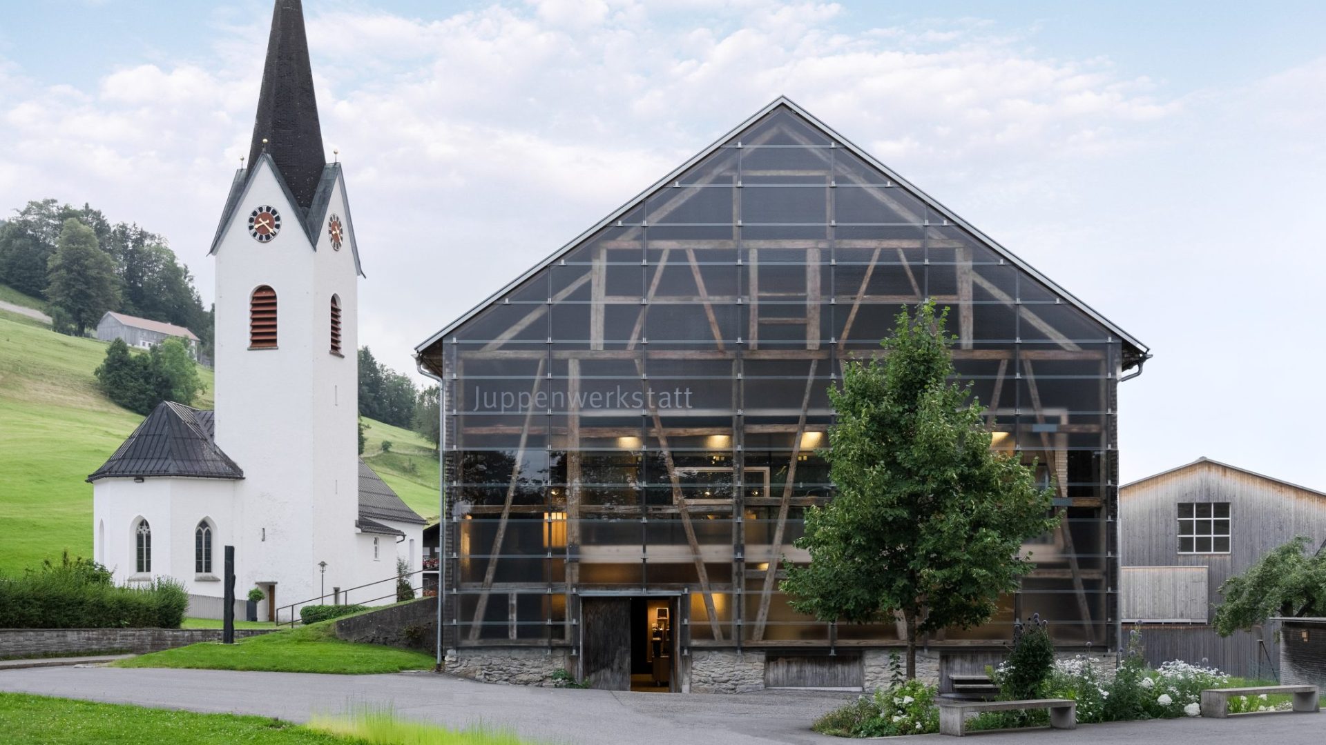
Juppenwerkstatt Riefensberg
6.9 km away, in Riefensberg
The workshop where the Bregenzerwald Juppe is made; making and wearing it entered Austria's intangible heritage list in 2021.
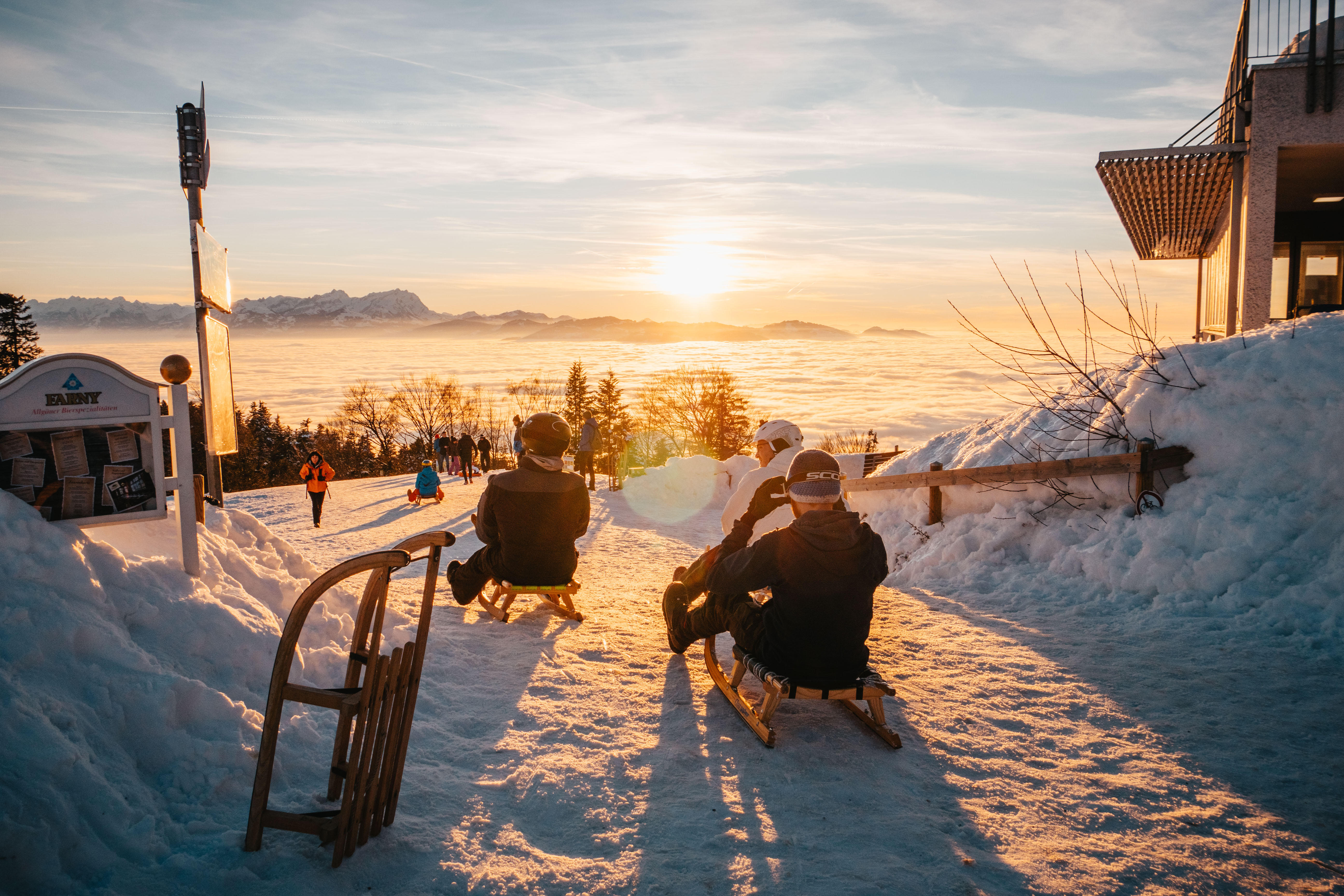
Rodeln am Pfänder
7.1 km away, in Lochau
A prepared toboggan slope by the Pfänderdohle, a few steps below the Pfänderbahn top station when snow allows.
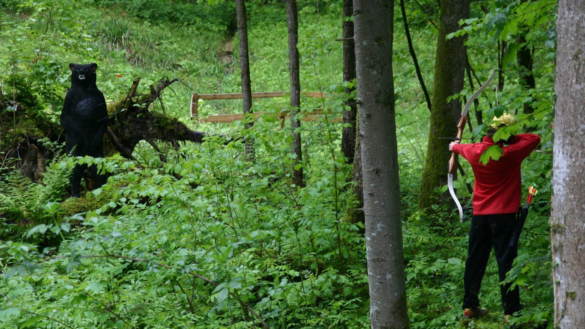
Riefensberg – 3D Bogenparcours
7.1 km away, in Riefensberg
A 3D archery course laid out through the woods, shot at animal targets along a walking circuit.
 Historic site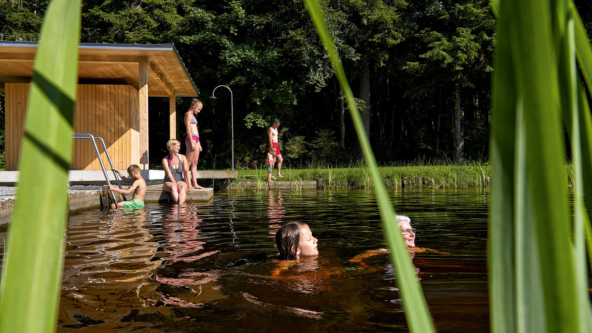
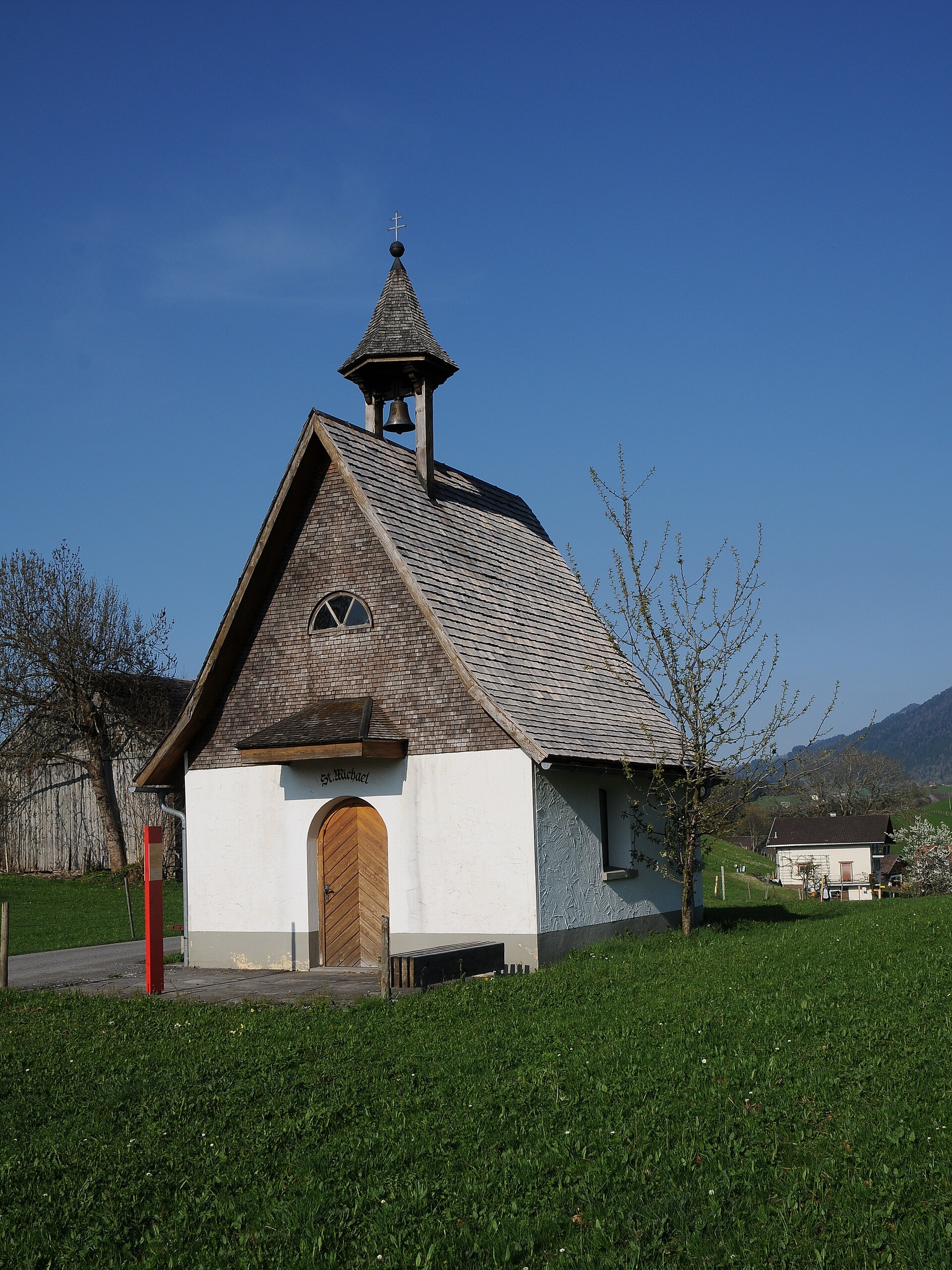
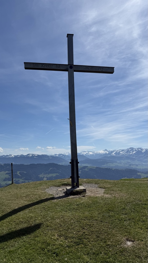
 Mountain hut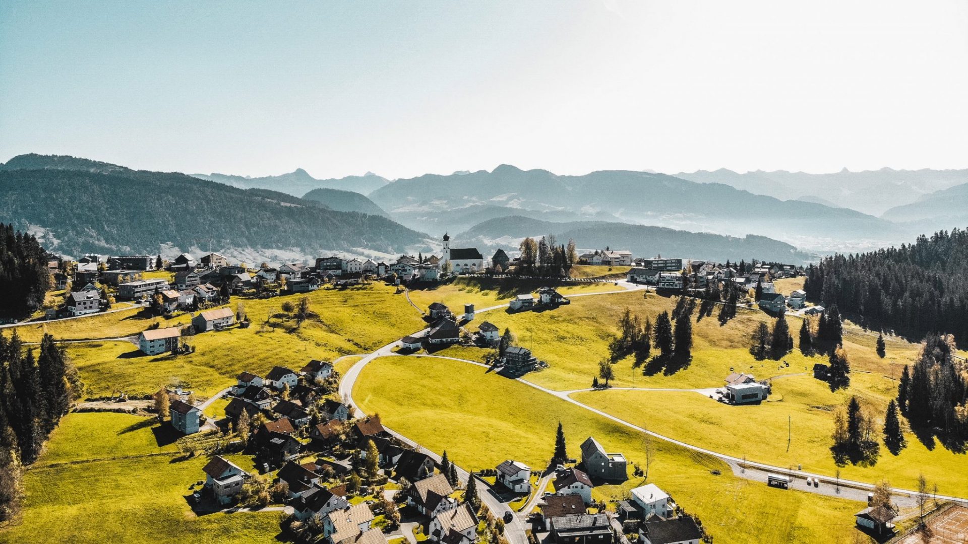
Nothing of this kind in Doren.
Routes
15 from neighbouring places
Doren | Lesewanderweg StandWOrtWeg
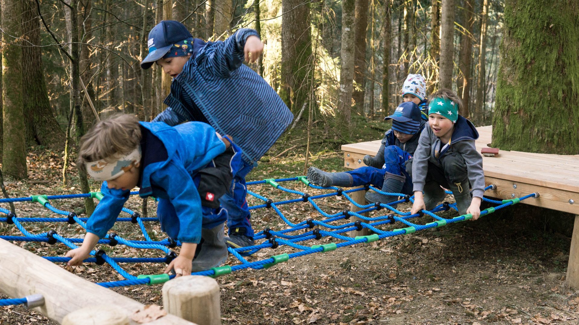
A family round behind the village hall through shaded forest ways, playing with perspective and puzzles.
- 4.9 km
- Distance
- 193 m
- Ascent
- 1 h 38 min
- Duration
Open route Vorarlberg TourismusDoren | Weissachbrücke – Egg
Down from the village to where the Weißach meets the Bregenzerache, then level along the river to Egg.
- 12.0 km
- Distance
- 164 m
- Ascent
- 3 h 22 min
- Duration
Open route Vorarlberg TourismusSulzberg | Radtour Sonnseite über Doren
A ride from the Sulzberg village square past the St Leonhard chapel to Doren, returning on the sunny side.
- 13.5 km
- Distance
- 327 m
- Ascent
- 1 h 31 min
- Duration
Open route Vorarlberg Tourismus40 Jahre Bodensee-Radweg: Den Bregenzerwald entdecken
A ride along the Bregenzerache that can be combined with the R1 cycle bus, past old Wälder houses and new timber buildings.
- 47.1 km
- Distance
- 596 m
- Ascent
- 4 h 47 min
- Duration
Open route Vorarlberg TourismusSulzberg | Von Sulzberg nach Doren
A round along the Sulzberg ridge to Doren, with the view open over the outer Bregenzerwald for most of the way.
- 10.8 km
- Distance
- 362 m
- Ascent
- 3 h 26 min
- Duration
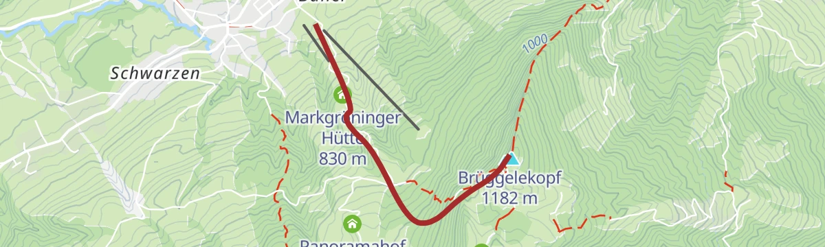
Open route Vorarlberg TourismusAlberschwende - Brüggelekopf
5.7 km away, in Alberschwende
A ski tour from Alberschwende to Brüggelekopf, 421 m of climbing in 2.2 km to a high point of 1,166 m.
- 2.0 km
- Distance
- 0 m
- Ascent
- 0 m
- Descent
- 30 min
- Duration
Open route PeakVisor tTRL (OpenStreetMap piste_type=skitour)Alberschwende | Sagenweg von Alberschwende bis Andelsbuch
6 km away, in Alberschwende
The legend trail run the other way, from Alberschwende to Andelsbuch, well signed and suited to families.
- 17.7 km
- Distance
- 629 m
- Ascent
- 5 h 48 min
- Duration
Open route Vorarlberg TourismusBödele - Guntenspitze
9.6 km away, in Schwarzenberg
From Bödele at 1,101 m, 858 m of ascent over 8.5 km to Guntenspitze.
- 8.4 km
- Distance
- 0 m
- Ascent
- 0 m
- Descent
- 2 h 3 min
- Duration
Open route PeakVisor tTRL (OpenStreetMap piste_type=skitour)Von Bregenz zum Jannersee in Lauterach
9.7 km away, in Bregenz
An easy 7 km to the Jannersee with a stop at Dietrichs Kostbarkeiten on the way.
- 6.2 km
- Distance
- 0 m
- Ascent
- 34 min
- Duration
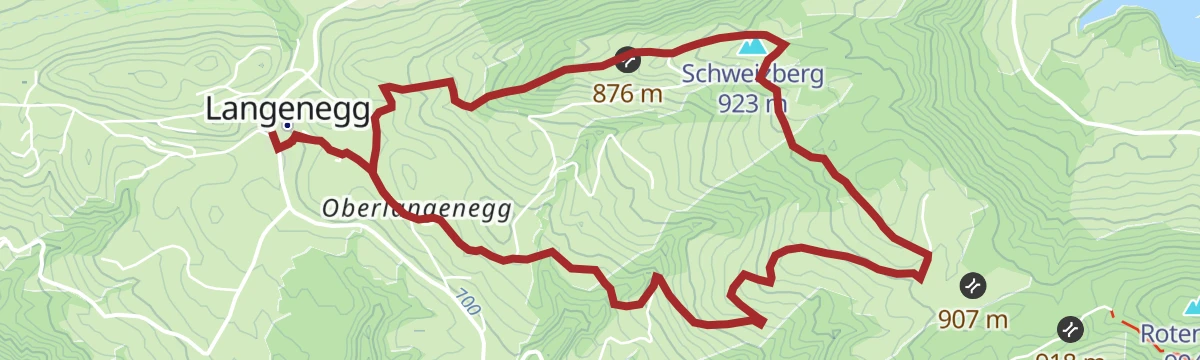
Open route Vorarlberg TourismusLangenegg | Energiewanderung
3.5 km away, in Langenegg
A gentle round through selection forest and the Nord reserve, a well-kept moor, past the village's energy portals.
- 4.2 km
- Distance
- 110 m
- Ascent
- 1 h 15 min
- Duration
Open route Vorarlberg TourismusSulzberg-Thal | Mit dem Rad von Thal nach Lindenberg (über Weiler und Röthenbach)
4.7 km away, in Sulzberg
A cross-border ride from Thal to Weiler and Lindenberg in the Allgäu, returning by Scheidegg and Scheffau.
- 35.0 km
- Distance
- 342 m
- Ascent
- 3 h 25 min
- Duration
Open route Vorarlberg TourismusLeiblachtal Route
9.6 km away, in Bregenz
From the lakeside promenade along the Pipeline and the Leiblach as far as Hohenweiler, 133 m of climbing.
- 13.5 km
- Distance
- 104 m
- Ascent
- 1 h 16 min
- Duration
Open route Vorarlberg TourismusLangenegg | Libellenweg
3.6 km away, in Langenegg
From the Nord nature reserve down to the Bregenzerache along the old Wälderbahn line, then a sharp climb back.
- 11.5 km
- Distance
- 227 m
- Ascent
- 3 h 15 min
- Duration
Open route Vorarlberg TourismusBolgenach - Hochhädrich
8.7 km away, in Hittisau
Hochhädrich from Bolgenach: 730 m of climbing in 4.3 km, topping out at 1,549 m.
- 3.7 km
- Distance
- 0 m
- Ascent
- 0 m
- Descent
- 54 min
- Duration
Open route PeakVisor tTRL (OpenStreetMap piste_type=skitour)Min Weag 02 | Pfänder/Moosegg – Sulzberg
6.9 km away, in Lochau
A Min Weag stage high above Lake Constance through wood and field to an alp, then over meadows to Sulzberg.
- 16.7 km
- Distance
- 712 m
- Ascent
- 5 h 40 min
- Duration
Open route Vorarlberg TourismusSchwarzenberg | Skitour Hochälpelekopf
10.1 km away, in Schwarzenberg
A beginner's ski tour to a 1,464 m viewpoint over the Bregenzerwald, with the Hochälpele Hütte a few metres below the summit.
- 4.2 km
- Distance
- 495 m
- Ascent
- 128 m
- Descent
- 1 h 38 min
- Duration
Open route Vorarlberg Tourismus GmbHUmgang Langenegg
3.5 km away, in Langenegg
A village circuit through a place that runs its own local currency, the Talente, and has remade itself in recent decades.
- 3.1 km
- Distance
- 51 m
- Ascent
- 51 min
- Duration
Open route Vorarlberg TourismusRennradrunde Wolfurt – Buch – Achrain
5.9 km away, in Alberschwende
A road-bike round tying the Rheintal to the higher ground of Buch and Alberschwende, 428 m of climbing.
- 25.3 km
- Distance
- 412 m
- Ascent
- 2 h 38 min
- Duration
Open route Vorarlberg TourismusDornbirner Höhenweg
13.4 km away, in Dornbirn
A moderate 446 m along the hillside terraces above the town, topping out around 706 m.
- 13.3 km
- Distance
- 381 m
- Ascent
- 1 h 33 min
- Duration
Open route Vorarlberg TourismusLangenegg | Lindenweg
3.6 km away, in Langenegg
A round named for the lime tree: the village arms show two intertwined lime branches for the joining of Ober- and Unterlangenegg.
- 7.3 km
- Distance
- 247 m
- Ascent
- 2 h 19 min
- Duration
Open route Vorarlberg Tourismus






No routes of this kind in Doren yet.
Planning a trip to Doren?
Everything else Vorarlberg has, in one place


Take Doren with you into the mountains
Every route on this page with 3D terrain, GPX navigation and offline maps — including the valleys with no signal.
Data sources
- Official website: bregenzerwald.at ↗
- Routes and highlights: Vorarlberg Tourismus, PeakVisor / OpenStreetMap, Bregenzerwald Tourismus, PeakVisor tTRL (OpenStreetMap piste_type=skitour), Bodensee-Vorarlberg Tourismus, Vorarlberg Tourismus GmbH
- Published as open data by the tourist boards named above.
