











Curated by APT Valli di Sole, Peio e Rabbi
Dimaro Folgarida
A Val di Sole comune at the mouth of the Val Meledrio, its Folgarida lifts linked to Madonna di Campiglio.
- 1Highlights
- 34Routes
- Featured summit · Monte Vigo
Highlights
9 from neighbouring places
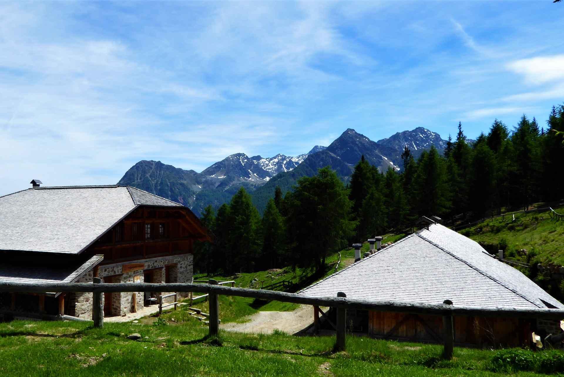
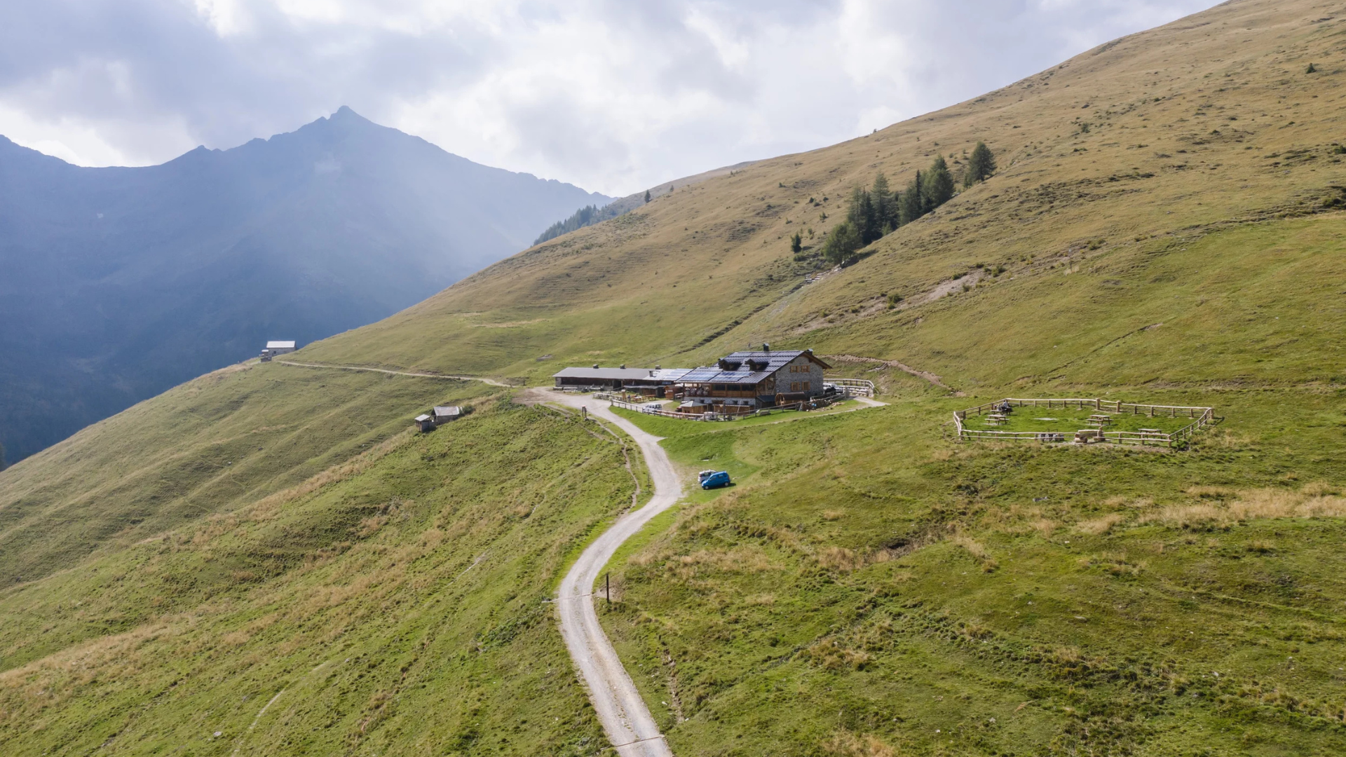
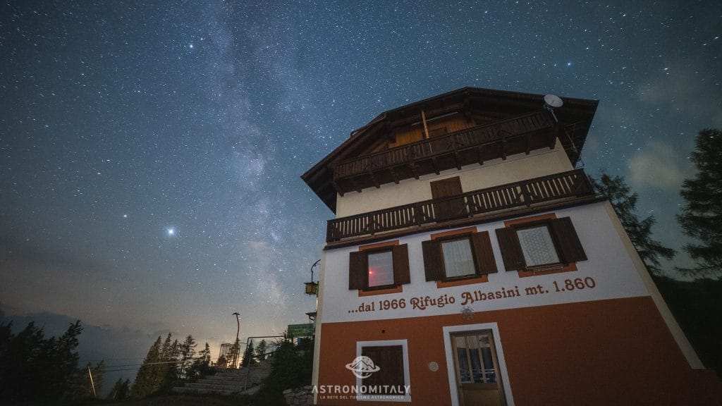
Rifugio Albasini
A hut above Folgarida in the Val di Sole, certified as a dark-sky site for star watching.
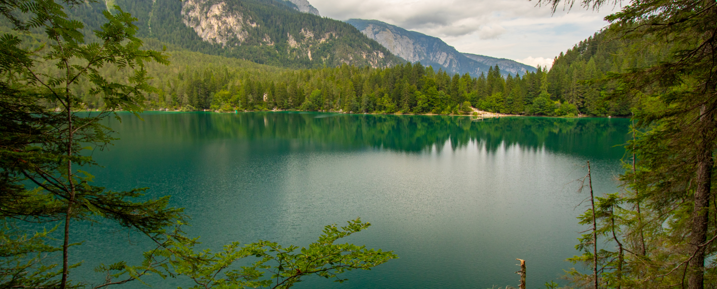
Lago di Tovel
6.4 km away, in Ville d'Anaunia
A lake at 1,178 m below the Brenta Dolomites, once famous for the red algal bloom that coloured its water.
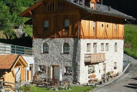
Chalet Val di Rabbi
8.8 km away, in Rabbi
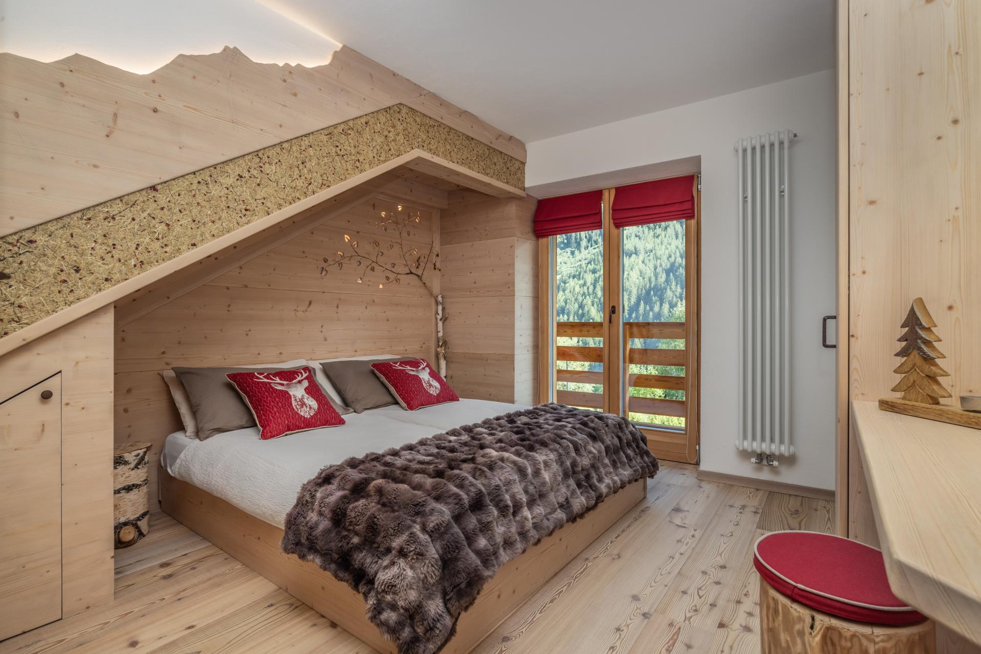
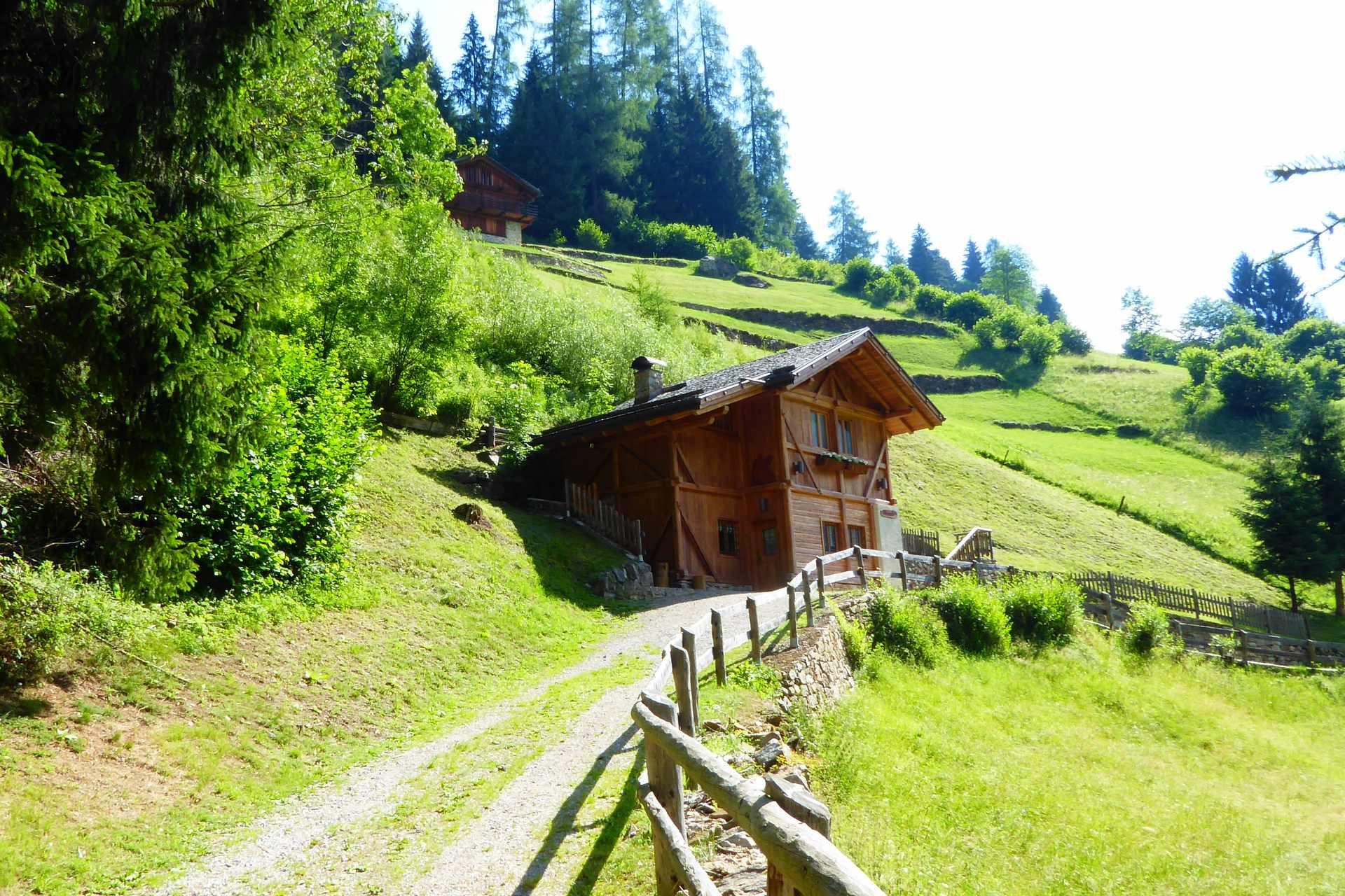
An eighteenth-century farmhouse in Rabbi, converted for walkers and skiers.
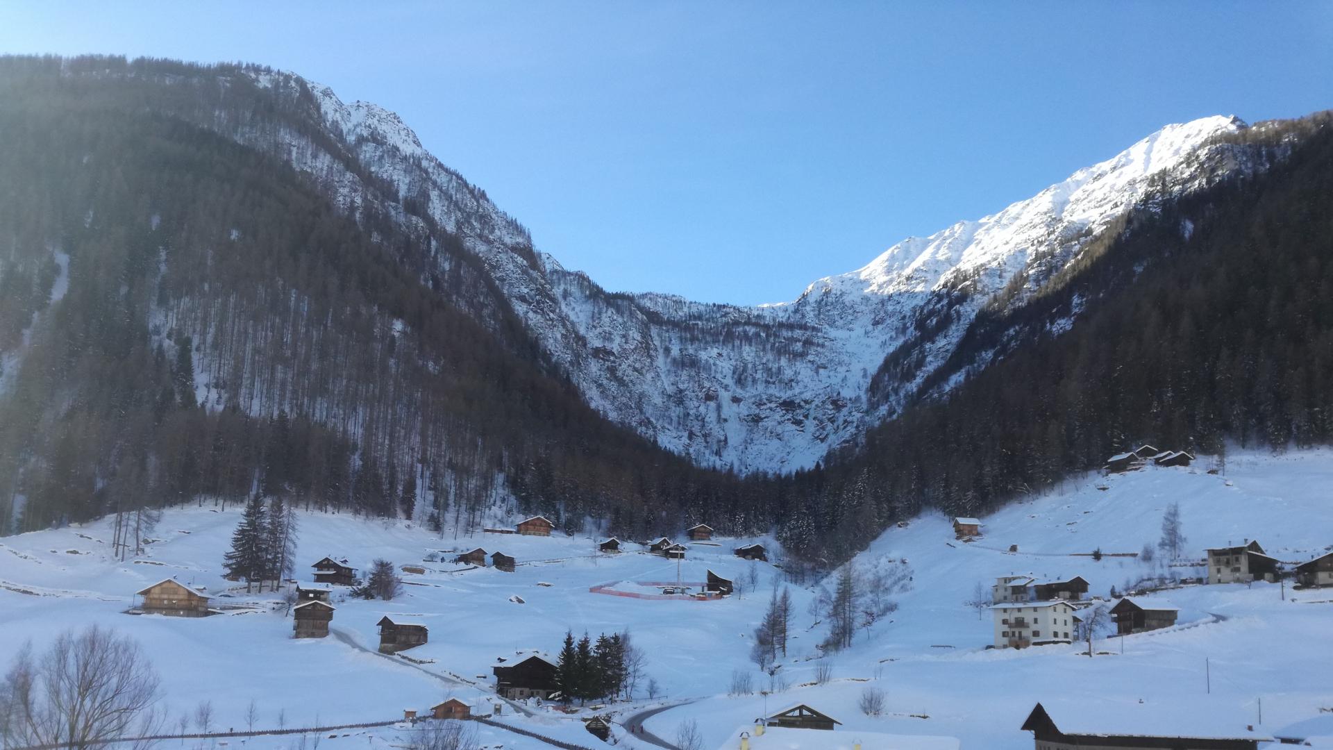
Cascate di Valorz
11.6 km away, in Rabbi
A waterfall in the Val di Rabbi reached through the Valorz farmsteads, inside the Stelvio national park.
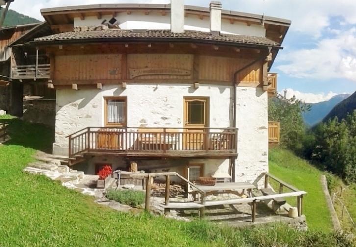
Baita L'Anda
13.3 km away, in Rabbi
A restored farmhouse hut at Piazzola di Rabbi, at 1,300 m in the Stelvio national park.
Malga Caldesa Bassa
13.5 km away, in Rabbi
A summer dairy pasture in the Val di Rabbi, open to walkers in the Stelvio national park.
Malga Monte Sole
13.6 km away, in Rabbi
A dairy pasture on the sunny side of the Val di Rabbi, in the Stelvio national park.
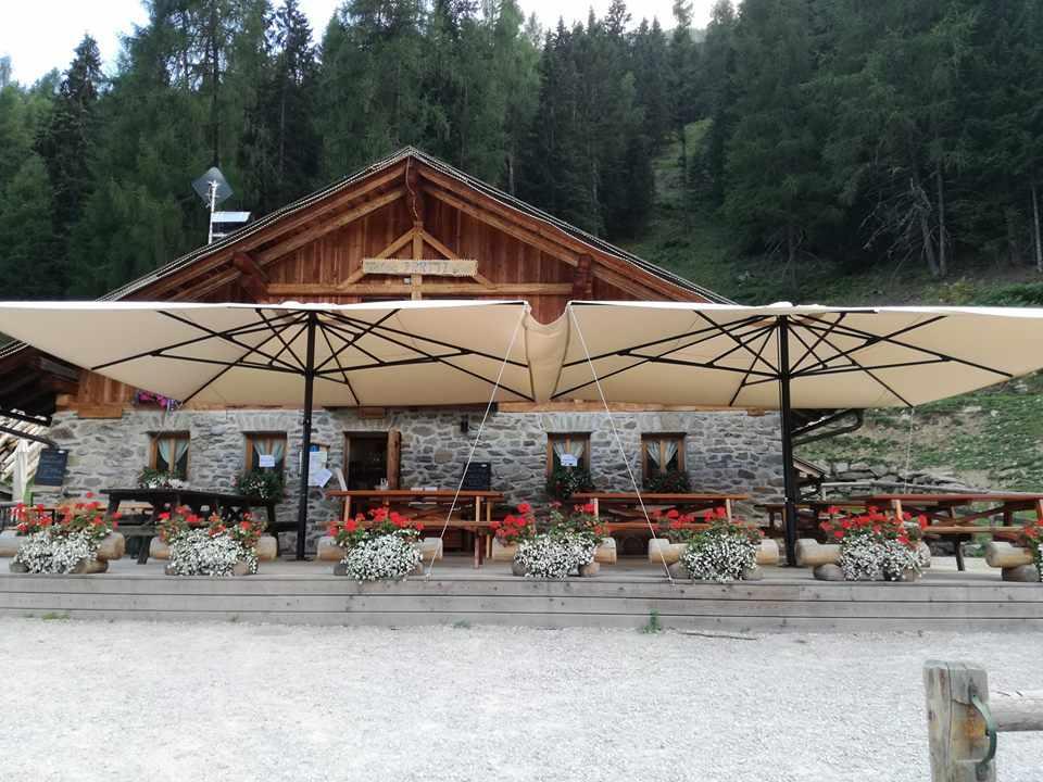
MAS DEL MEZDI'
13.9 km away, in Rabbi
A detached chalet at Somrabbi in the Val di Rabbi, inside the Stelvio national park.
Bambi Chalet
14.1 km away, in Rabbi
A converted hay barn in the Val di Rabbi, kept as it was built, in the Stelvio national park.
Malga Fratte
14.4 km away, in Rabbi
A dairy pasture in the lower Val di Rabbi, on the paths into the Stelvio national park.
Nothing of this kind in Dimaro Folgarida.
Routes
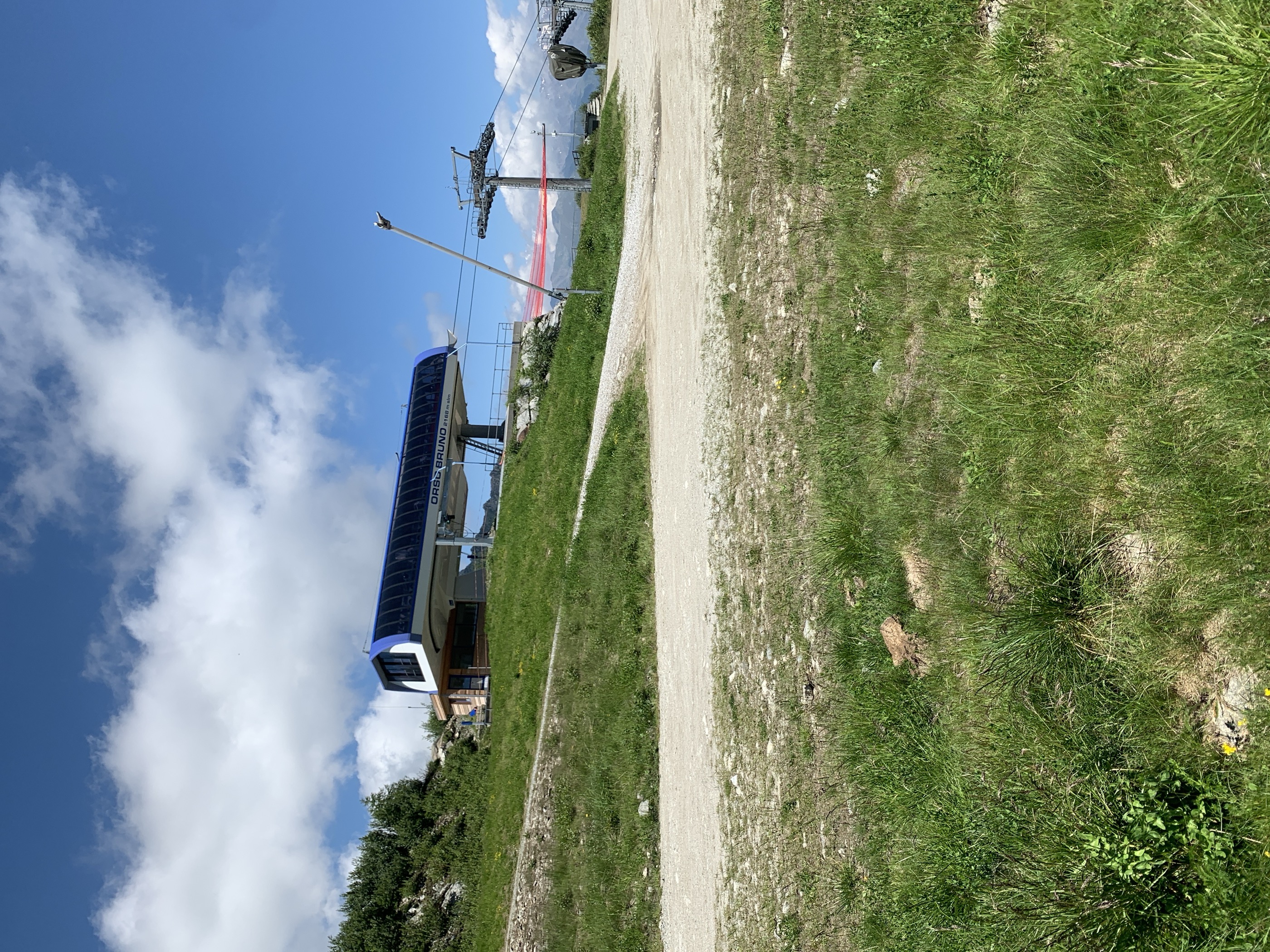
Hike to Rifugio Orso Bruno
A climb by Malghet Aut to the Rifugio Orso Bruno on Monte Vigo, looking out to the Brenta on one side and the Adamello on the other.
- 6.7 km
- Distance
- 296 m
- Ascent
- 2 h 18 min
- Duration
- 147
- Check-ins
 Monte Vigo 2 179 m
- Malghet Aut 1 855 m
 Rifugio Orso Bruno 2 200 m
- Rifugio Alpe Daolasa 2045 2 041 m
- Rosalpina 1 871 m
- Rifugio Solander 2 045 m
- +3
Open route APT Valli di Sole, Peio e RabbiMalghet Aut - Lake Malghette
A hike from Malghet Aut over the shoulder of Monte Vigo, reaching the Orso Bruno hut, then dropping through woods to Lago delle Malghette facing the Brenta.
- 9.9 km
- Distance
- 570 m
- Ascent
- 3 h 38 min
- Duration
- 172
- Check-ins
- Monte Vigo 2 179 m
- Malghet Aut 1 855 m
- Rifugio Orso Bruno 2 200 m
- Rifugio Malghette 1 890 m
- Rifugio Alpe Daolasa 2045 2 041 m
- Rosalpina 1 871 m
- +4
Open route APT Valli di Sole, Peio e RabbiDBT Stage 2: Bivacco Costanzi - Rifugio Graffer
The second Dolomiti di Brenta Trek stage, from the Costanzi bivouac past the ruins of Malga Scale and the Vagliana pastures to the Graffer hut.
- 14.4 km
- Distance
- 1 080 m
- Ascent
- 7 h 15 min
- Duration
- 118
- Check-ins
- Rifugio Giorgio Graffer al Grostè 2 261 m
- Malga Vaglianella 1 831 m
- Malga Vagliana 1 974 m
- Malga Mondifrà 1 623 m
- Malga Mondifrà 1 641 m
- Bivacco Claudio Costanzi Albasini 2 365 m
- +1
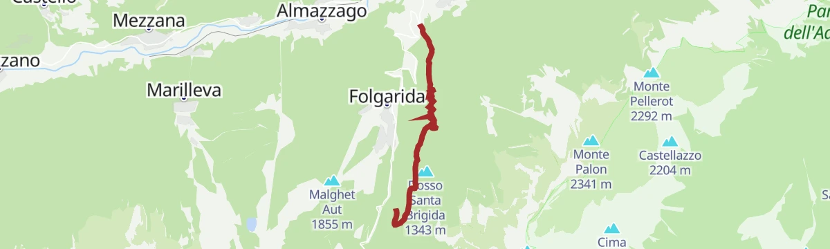
Open route APT Madonna di Campiglio, Pinzolo, Val RendenaFolgarida Trail No. 712
A single track descent from the Solander hut to Daolasa, through woods and ski runs and past the middle of Folgarida.
- 11.7 km
- Distance
- 24 m
- Ascent
- 1 h 30 min
- Duration
- 45
- Check-ins
- Rifugio Alpe Daolasa 2045 2 041 m
- Rosalpina 1 871 m
- Rifugio Solander 2 045 m
- Mas dele Strie 1 468 m
- Hotel Gran Baita 1 246 m
- Dolce Amaro 810 m
Open route APT Valli di Sole, Peio e RabbiTRANSALP 2006: Malè - Madonna di Campiglio
The seventh stage of the 2006 Transalp, up the Val di Sole to the Malga Panciana and over Monte Vigo to Campiglio.
- 47.1 km
- Distance
- 2 138 m
- Ascent
- 5 h 56 min
- Duration
- 240
- Check-ins
- Monte Vigo 2 179 m
- Rifugio Orso Bruno 2 200 m
- Fortini 1 629 m
- LAB Après-Ski 1 632 m
- Rifugio Alpe Daolasa 2045 2 041 m
- Malga Panciana 1 886 m
- +13
Open route APT Valli di Sole, Peio e RabbiDolomiti-Garda Alpine Cycling / Male - Riva del Garda
The full Dolomiti-Garda route through four Trentino valleys, from the Adamello Brenta park down to Lake Garda.
- 109.5 km
- Distance
- 3 039 m
- Ascent
- 12 h 49 min
- Duration
- 230
- Check-ins
- Falesia Fontanella 1 384 m
- Fortini 1 629 m
- LAB Après-Ski 1 632 m
 Laghetto Conca Verde 1 496 m
- La Cantina di Suisse 1 506 m
- Condominio Villa Golf 1 646 m
- +24
Open route APT Madonna di Campiglio, Pinzolo, Val RendenaWalk to the Rifugio Solander
An easy walk to the Solander hut, which stands under Monte Vigo above Folgarida, usually begun from the Malghet Aut mid-station.
- 4.0 km
- Distance
- 179 m
- Ascent
- 1 h 23 min
- Duration
- 79
- Check-ins
- Malghet Aut 1 855 m
- Rifugio Alpe Daolasa 2045 2 041 m
- Rosalpina 1 871 m
- Rifugio Solander 2 045 m
- Rifugio Dario Albasini 1 853 m
- Chalet degli Angeli 1 852 m
- +1
Open route APT Valli di Sole, Peio e RabbiMalga Dimaro and Lago Malghette
A family hike from Malga Dimaro to Lago delle Malghette, where the Brenta Dolomites are mirrored in the water. Not passable with a pushchair.
- 7.5 km
- Distance
- 317 m
- Ascent
- 2 h 30 min
- Duration
- 53
- Check-ins
Open route APT Valli di Sole, Peio e RabbiTorrente Meledrio F1-2
A long route up the Meledrio torrent from Dimaro, past the Pison waterfall and on into the head of the Val Meledrio.
- 12.5 km
- Distance
- 1 177 m
- Ascent
- 5 h 11 min
- Duration
- 29
- Check-ins
Open route Trentino FishingTrail La Preda No. 710
A downhill bike run reached by the Daolasa cable car, with roots, stone, jumps and berms on the way back to the valley floor.
- 12.0 km
- Distance
- 35 m
- Ascent
- 1 h 32 min
- Duration
- 44
- Check-ins
- Rifugio Alpe Daolasa 2045 2 041 m
- Rosalpina 1 871 m
- Rifugio Solander 2 045 m
- Ristorante al Soldino dell'Imperatore- Pizzeria 1 350 m
- Dolce Amaro 810 m
Open route APT Valli di Sole, Peio e RabbiRace Val di Sole Marathon
The Val di Sole marathon course, a national gran fondo route over Monte Vigo by the Orso Bruno hut.
- 57.3 km
- Distance
- 3 116 m
- Ascent
- 8 h 26 min
- Duration
- 153
- Check-ins
- Monte Vigo 2 179 m
- Rifugio Orso Bruno 2 200 m
- Rifugio Alpe Daolasa 2045 2 041 m
- Malga Panciana 1 886 m
- Rosalpina 1 871 m
- Rifugio Solander 2 045 m
- +12
Open route APT Valli di Sole, Peio e RabbiDolomiti-Garda Alpine Cycling 1 - Malè - Pinzolo
The opening stage of the Dolomiti-Garda route, from Malè up the Val di Sole to Pinzolo.
- 42.1 km
- Distance
- 1 211 m
- Ascent
- 4 h 52 min
- Duration
- 199
- Check-ins
- Falesia Fontanella 1 384 m
- Fortini 1 629 m
- LAB Après-Ski 1 632 m
- Laghetto Conca Verde 1 496 m
- La Cantina di Suisse 1 506 m
- Condominio Villa Golf 1 646 m
- +15
Open route APT Madonna di Campiglio, Pinzolo, Val RendenaAlbasini Hut – Malga di Dimaro walk
A short walk between the Albasini hut above Folgarida and Malga di Dimaro, with the Brenta wall in view across the valley.
- 5.2 km
- Distance
- 284 m
- Ascent
- 2 h
- Duration
- 63
- Check-ins
- Malghet Aut 1 855 m
- Rosalpina 1 871 m
- Rifugio Dario Albasini 1 853 m
- Malga Folgarida di Dimaro 1 662 m
- Chalet degli Angeli 1 852 m
- Skiausleihe 1 847 m
Open route APT Valli di Sole, Peio e RabbiBelvedere - Cascata del Pison
A walk in the woods of the Val Meledrio beside the Meledrio stream to the Pison waterfall, under the red rock of Sasso Rosso.
- 8.3 km
- Distance
- 233 m
- Ascent
- 2 h 31 min
- Duration
- 10
- Check-ins
Open route APT Valli di Sole, Peio e RabbiCima Nana
A long ascent up the Valle del Vento past the Costanzi bivouac and a scree pass, finishing on an exposed section to the cross on Cima Nana.
- 18.4 km
- Distance
- 1 850 m
- Ascent
- 11 h 22 min
- Duration
- 20
- Check-ins
- Cima Nana 2 572 m
- Bivacco Claudio Costanzi Albasini 2 365 m
- Ristorante al Soldino dell'Imperatore- Pizzeria 1 350 m
- Malga Scale 1 558 m
Open route APT Valli di Sole, Peio e RabbiEpic Trail Alpeggi del Brenta N° 1314
A long ride from the top of the Daolasa lift by Malghet Aut and Malga di Dimaro to the Campo Carlo Magno pass and up the Grostè road.
- 29.3 km
- Distance
- 613 m
- Ascent
- 3 h 37 min
- Duration
- 112
- Check-ins
- Rifugio Boch 2 085 m
- Rifugio Alpe Daolasa 2045 2 041 m
- Malga Vaglianella 1 831 m
- Rifugio Solander 2 045 m
- Malga Vagliana 1 974 m
- Malga Folgarida di Dimaro 1 662 m
- +2
Open route APT Valli di Sole, Peio e RabbiAlpine Gravel Monte Vigo
A gravel climb up the Val Meledrio to Alpe Daolasa and on to the top of Monte Vigo, returning past the Lago dei Caprioli.
- 47.0 km
- Distance
- 1 588 m
- Ascent
- 5 h 40 min
- Duration
- 182
- Check-ins
- Monte Vigo 2 179 m
- Cascata del Pison 1 151 m
- Rifugio Orso Bruno 2 200 m
- Rifugio Alpe Daolasa 2045 2 041 m
- Malga Panciana 1 886 m
- Lago dei Caprioli 1 321 m
- +13
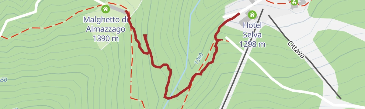
Open route APT Valli di Sole, Peio e RabbiFolgarida - Malghetto di Almazzago
A nearly level stroll from Folgarida to the Malghetto di Almazzago, a viewpoint over Dimaro and the lower Val di Sole.
- 856 m
- Distance
- 83 m
- Ascent
- 23 min
- Duration
- 6
- Check-ins
Open route APT Valli di Sole, Peio e RabbiFolgarida – Malga Selva Nera di Carciato
A wooded walk from Folgarida on SAT trails 329 and 365, opening out at the pastures of Malga Selva Nera di Carciato.
- 11.3 km
- Distance
- 618 m
- Ascent
- 4 h 24 min
- Duration
- 8
- Check-ins
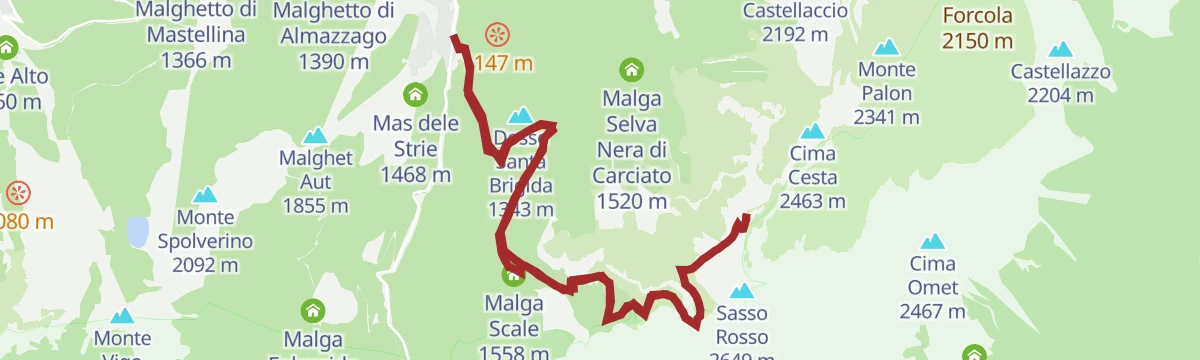
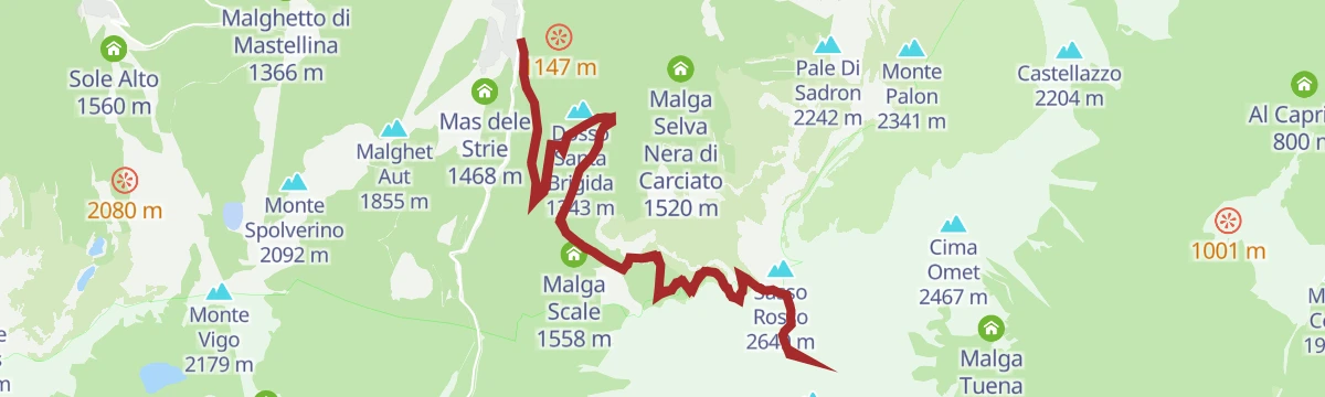
Open route APT Valli di Sole, Peio e RabbiValle del Vento – Prà Castron pass
A long climb up the Val Meledrio forest road, then by path past the old Malga Scale and the narrow Valle del Vento to the Prà Castron pass.
- 17.1 km
- Distance
- 1 759 m
- Ascent
- 10 h 46 min
- Duration
- 9
- Check-ins
- Ristorante al Soldino dell'Imperatore- Pizzeria 1 350 m
 Passo di Pra Castron 2 503 m
- Malga Scale 1 558 m
Open route APT Valli di Sole, Peio e RabbiVal Meledrio route N°715
A long, mostly downhill route in the Adamello Brenta park through thick woods and restored alpine dairies into the Val Meledrio.
- 24.4 km
- Distance
- 253 m
- Ascent
- 2 h 50 min
- Duration
- 65
- Check-ins
- Rifugio Alpe Daolasa 2045 2 041 m
- Rosalpina 1 871 m
- Rifugio Solander 2 045 m
- Malga Folgarida di Dimaro 1 662 m
- Malga Mondifrà 1 623 m
- Malga Mondifrà 1 641 m
- +1
Open route APT Valli di Sole, Peio e RabbiVal di Sole Cycle Path
A long valley cycle path beside the Noce, running down from Cogolo di Peio as far as Mostizzolo, with a side option into Val di Peio.
- 43.5 km
- Distance
- 365 m
- Ascent
- 4 h 24 min
- Duration
- 20
- Check-ins
- Mostizzolo 592 m
- Bucaneve 809 m
- Associazione sportiva 618 m
- Hotel Job 755 m
- Al cervo 896 m
- Bar ristorante pizzeria Kristall 892 m
- +3
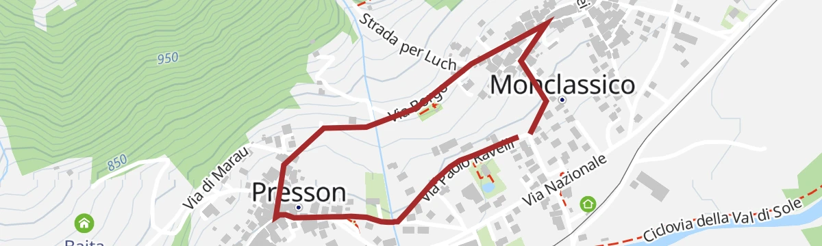
Open route APT Valli di Sole, Peio e RabbiMonclassico and Presson - The Sundials Villages
A short walk through Monclassico and Presson, where more than fifty painted sundials by invited artists cover the house walls.
- 1.7 km
- Distance
- 35 m
- Ascent
- 29 min
- Duration
Open route APT Valli di Sole, Peio e RabbiMalga Presson Bassa
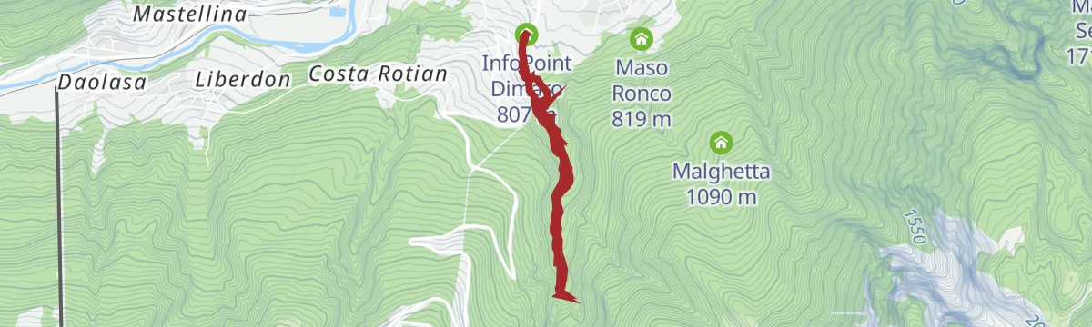
A climb from the Venetian sawmill at Dimaro into the Val Meledrio to Malga Presson at 1,292 m.
- 5.9 km
- Distance
- 470 m
- Ascent
- 2 h 10 min
- Duration
- 6
- Check-ins
Open route APT Valli di Sole, Peio e RabbiVento Valley – Benon Summit
A hard ascent from Folgarida through the Valle del Vento to Cima Benon, one of the northernmost tops on the Costanzi traverse of the Brenta.
- 21.2 km
- Distance
- 1 930 m
- Ascent
- 12 h 6 min
- Duration
- 8
- Check-ins
- Cima Benon 2 684 m
- Ristorante al Soldino dell'Imperatore- Pizzeria 1 350 m
- Passo di Pra Castron 2 503 m
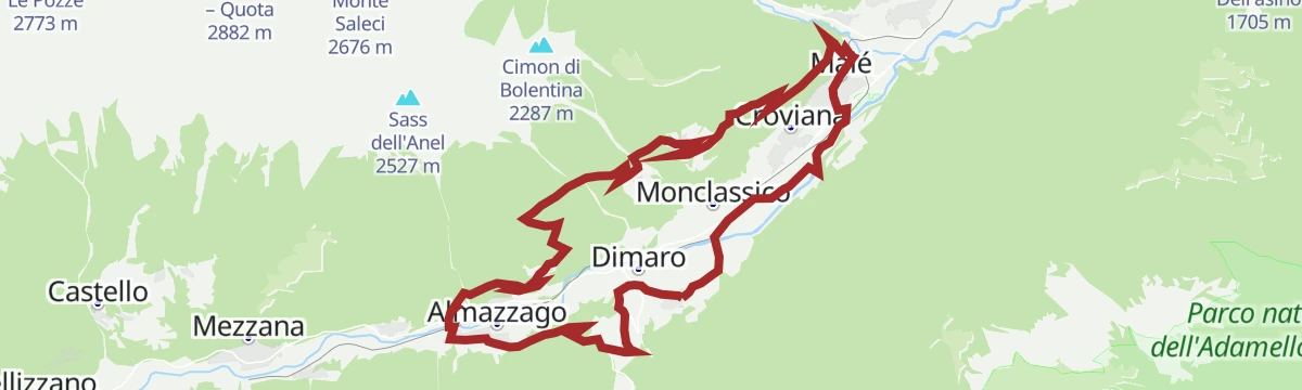
Open route APT Valli di Sole, Peio e RabbiDolomiti di Brenta Bike Explorer - Val di Sole: I masi di Bolentina
A steep climb from the Noce valley floor near Malé up to the scattered barns of Mont di Bolentina, with the return through Monclassico.
- 25.4 km
- Distance
- 1 099 m
- Ascent
- 3 h 18 min
- Duration
- 9
- Check-ins
Open route APT Dolomiti di Brenta e PaganellaSegheria Veneziana - Val Meledrio - Sentiero della Lec - Carciato
An easy family route from the Venetian sawmill in Dimaro along the Meledrio stream to the small hydroelectric plant, returning by the Lec path.
- 4.3 km
- Distance
- 167 m
- Ascent
- 1 h 25 min
- Duration
Open route APT Valli di Sole, Peio e RabbiVal Meledrio Loop
A loop through the fir woods of the Val Meledrio, past the ecomuseum with its working Venetian sawmill, a lime kiln and a water-powered hammer mill.
- 11.1 km
- Distance
- 465 m
- Ascent
- 3 h 45 min
- Duration
- 5
- Check-ins
Open route APT Valli di Sole, Peio e RabbiDimaro, Valle dei Cavalli
A steady climb from Carciato up the long Valle dei Cavalli to the abandoned Malga Cavalli at 2,061 m, where the view finally opens.
- 13.3 km
- Distance
- 1 637 m
- Ascent
- 9 h 43 min
- Duration
- 5
- Check-ins
Open route APT Valli di Sole, Peio e RabbiAlpine Gravel Lower Valley
A gravel loop across the lower Val di Sole, part valley cycle path and part dirt lane, running out past Ossana's castle walls to Monclassico.
- 48.7 km
- Distance
- 883 m
- Ascent
- 5 h 9 min
- Duration
- 2
- Check-ins
Open route APT Valli di Sole, Peio e RabbiMalè - Carciato
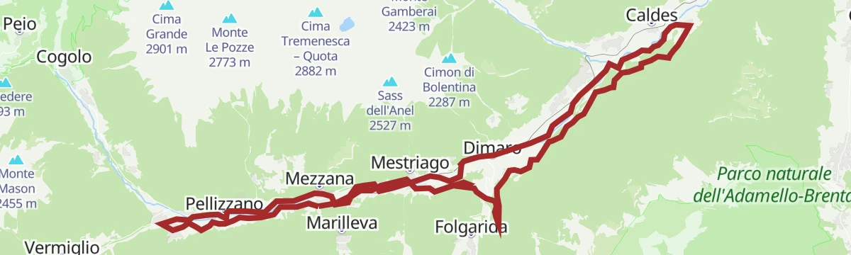
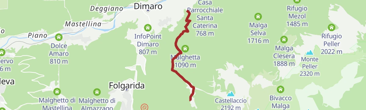
A quiet riverside walk down the Val di Sole beside the Noce, passing the Ontaneta di Croviana reserve and the MMape mill museum.
- 11.0 km
- Distance
- 333 m
- Ascent
- 3 h 24 min
- Duration
- 1
- Check-ins
- Flying Park 745 m
- Ristorante L'Osteria del Bosco - Baita Regazzini 747 m
- Casa Parrocchiale Santa Caterina 768 m
Open route APT Valli di Sole, Peio e RabbiSundials Route N° 711
A route from Daolasa by Deggiano and Presson to Monclassico and Croviana, where painted sundials mark the fronts of the houses.
- 18.6 km
- Distance
- 545 m
- Ascent
- 5 h 42 min
- Duration
Open route APT Valli di Sole, Peio e RabbiMalga Sadron
A hike from Monclassico up to Malga Sadron at about 1,415 m, ringed by broad pastures on the sunny side of the Val di Sole.
- 8.0 km
- Distance
- 627 m
- Ascent
- 4 h 3 min
- Duration
Open route APT Valli di Sole, Peio e RabbiTorrente Noce B
A long valley-floor walk down the Noce through Val di Sole, linking Mezzana, Marilleva, Dimaro and Monclassico.
- 16.9 km
- Distance
- 304 m
- Ascent
- 4 h 27 min
- Duration
Open route Trentino Fishing
No routes of this kind in Dimaro Folgarida yet.
The region's own picks

Featured route
Hike to Rifugio Orso Bruno
A climb by Malghet Aut to the Rifugio Orso Bruno on Monte Vigo, looking out to the Brenta on one side and the Adamello on the other.
Planning a trip to Dimaro Folgarida?
Everything else Trentino-Alto Adige/Südtirol has, in one place


Take Dimaro Folgarida with you into the mountains
Every route on this page with 3D terrain, GPX navigation and offline maps — including the valleys with no signal.
Data sources
- Official website: visitvaldisole.it ↗
- Routes and highlights: APT Valli di Sole, Peio e Rabbi, Valdirabbi, APT Madonna di Campiglio, Pinzolo, Val Rendena, Trentino Fishing, Astrotourism, Italia.it, APT Dolomiti di Brenta e Paganella
- Published as open data by the tourist boards named above.
- Region summary generated from the board's own material.
