
 Mountain hut
 Cable car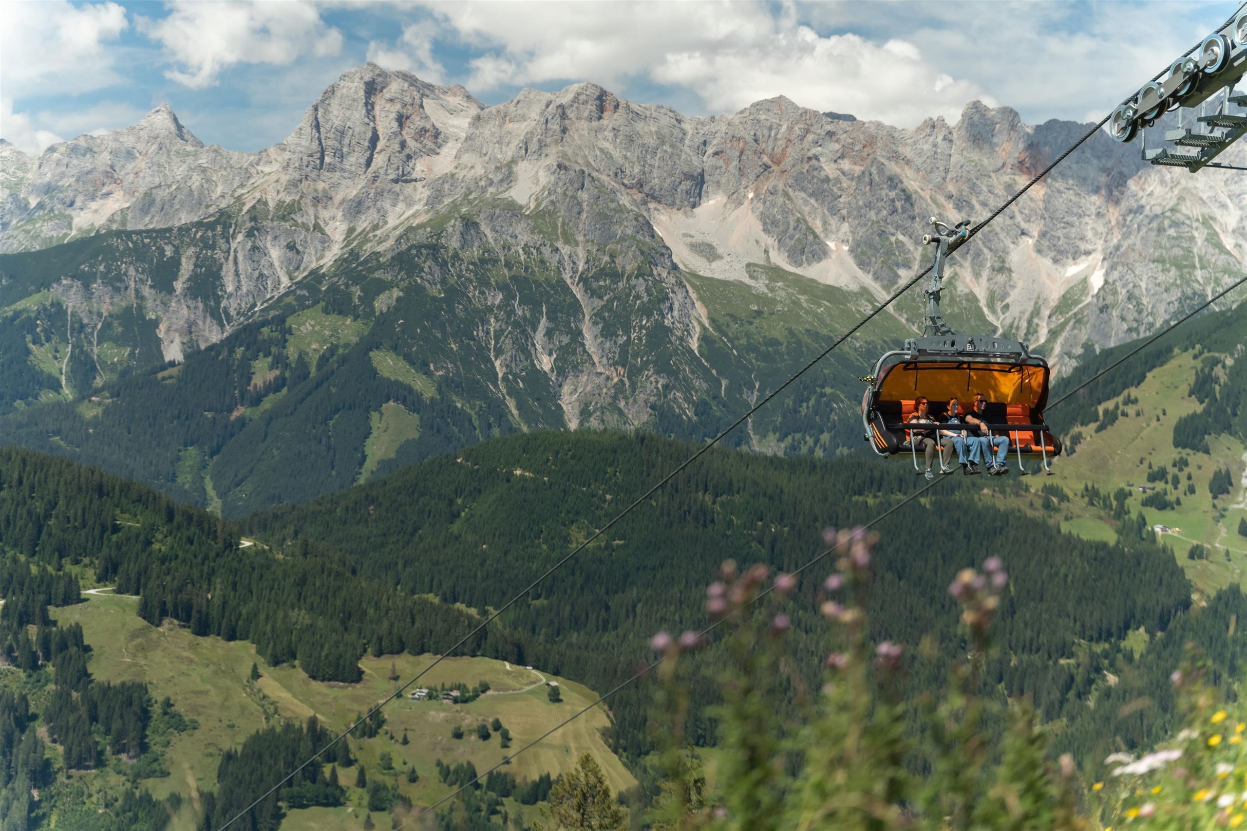






















Curated by Hochkönig Tourismus
Dienten am Hochkönig
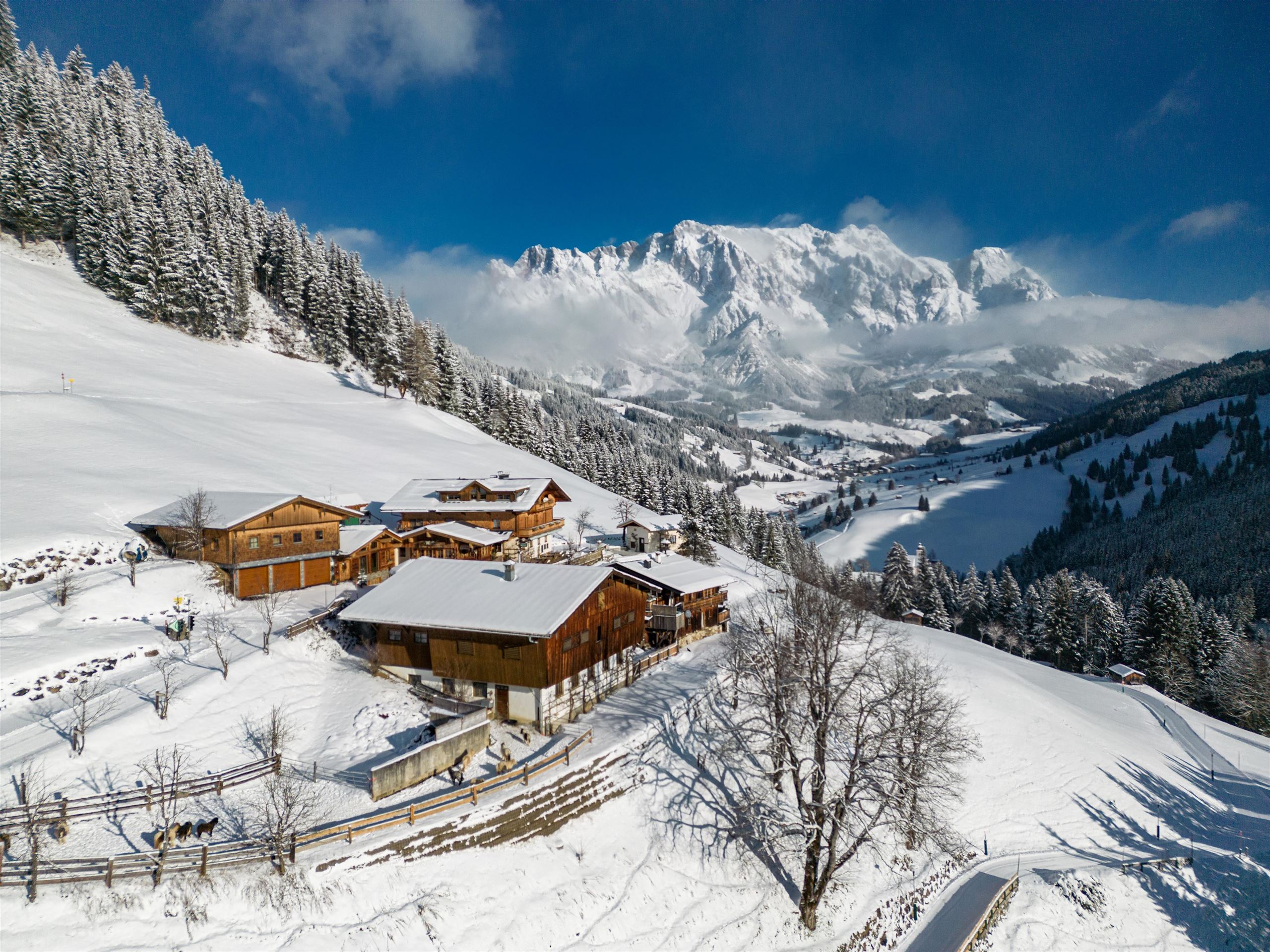
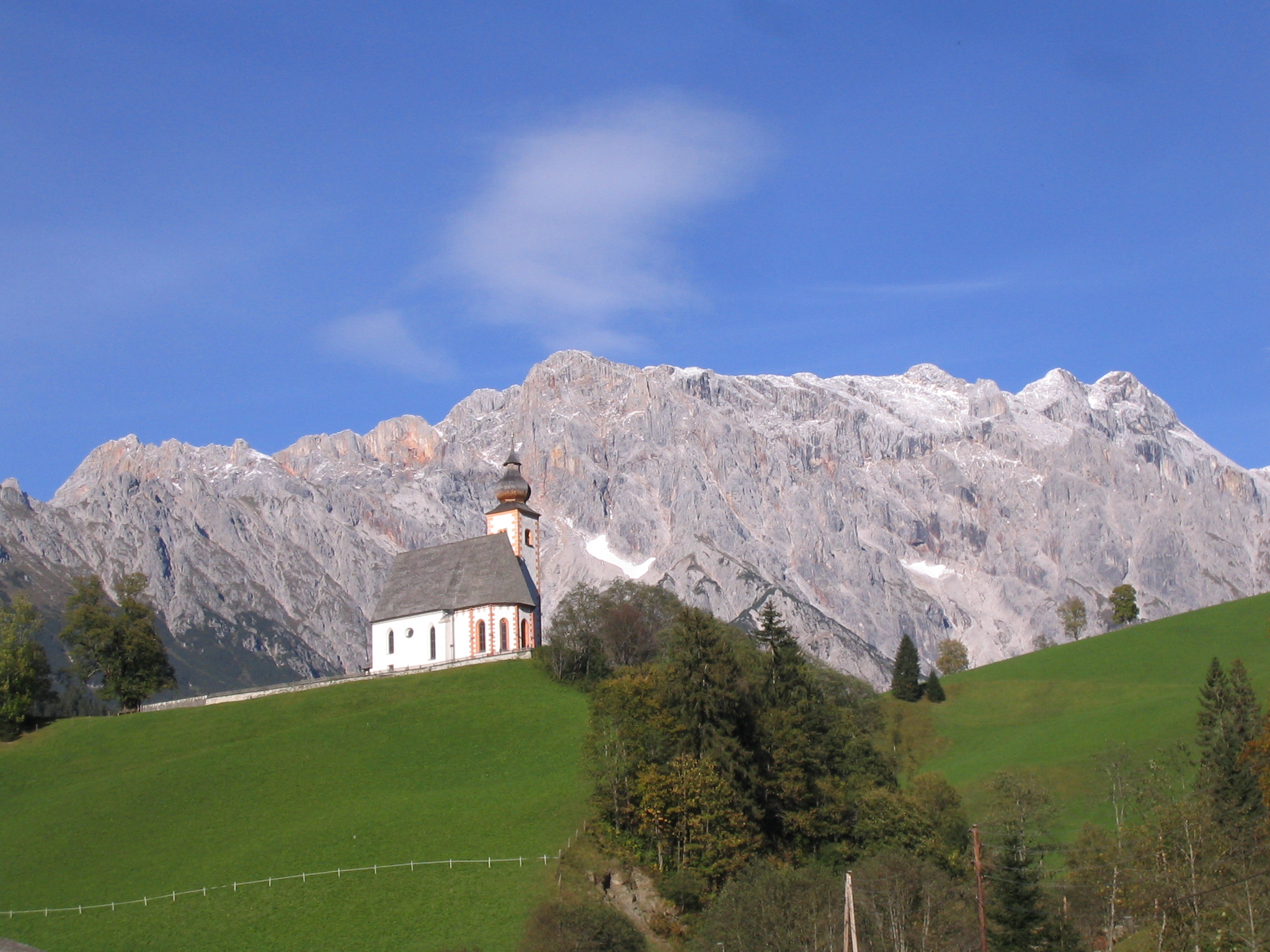
A steep mountain parish above 1,000 m tucked under the southern walls of the Hochkönig, linking the ski slopes between Maria Alm and Mühlbach.
Photo: Aconcagua · CC BY-SA 3.0 licence
- 26Highlights
- 103Routes
- Featured summit · Hundstein
Highlights
The 20 highest-rated · see the rest on hochkoenig.at ↗
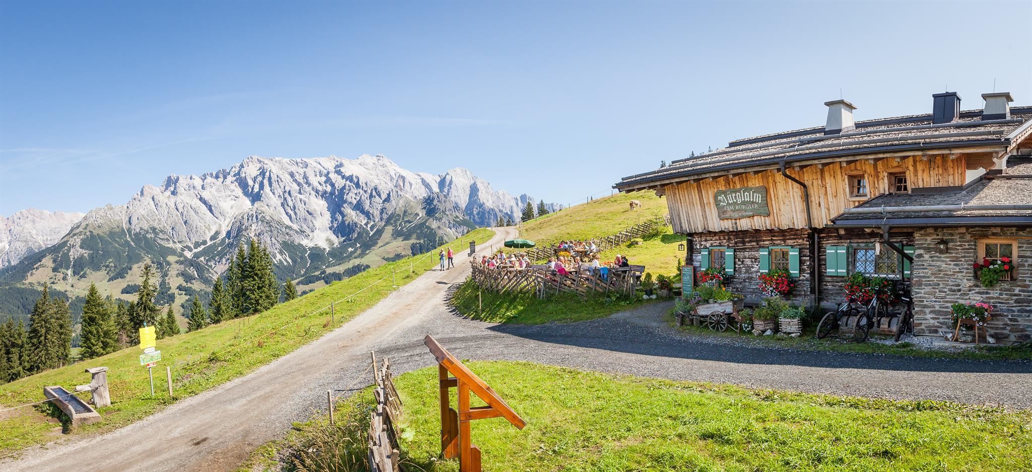
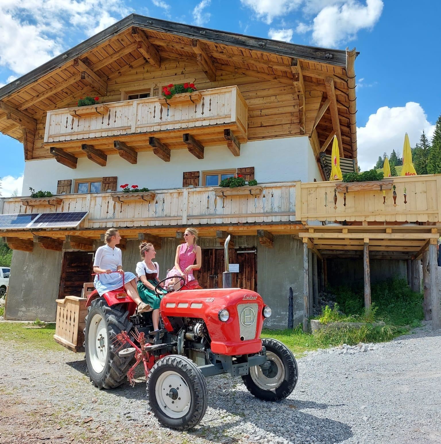
Bürglalm 1.593 m
A working alm at 1,593 m on the Bürgl above Dienten am Hochkönig, serving certified regional dishes to skiers and summer walkers.
Die Deantnerin 1.240 m
A hut at 1,240 m above Dienten am Hochkönig, Falstaff-listed, mixing regional Austrian cooking with international dishes.
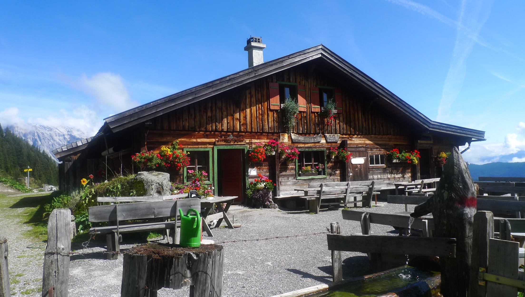
Erichhütte 1.545 m
A hut at 1,545 m at the foot of the Hochkönig's south face near the Dientner Sattel, a base for walks beneath the rock walls.
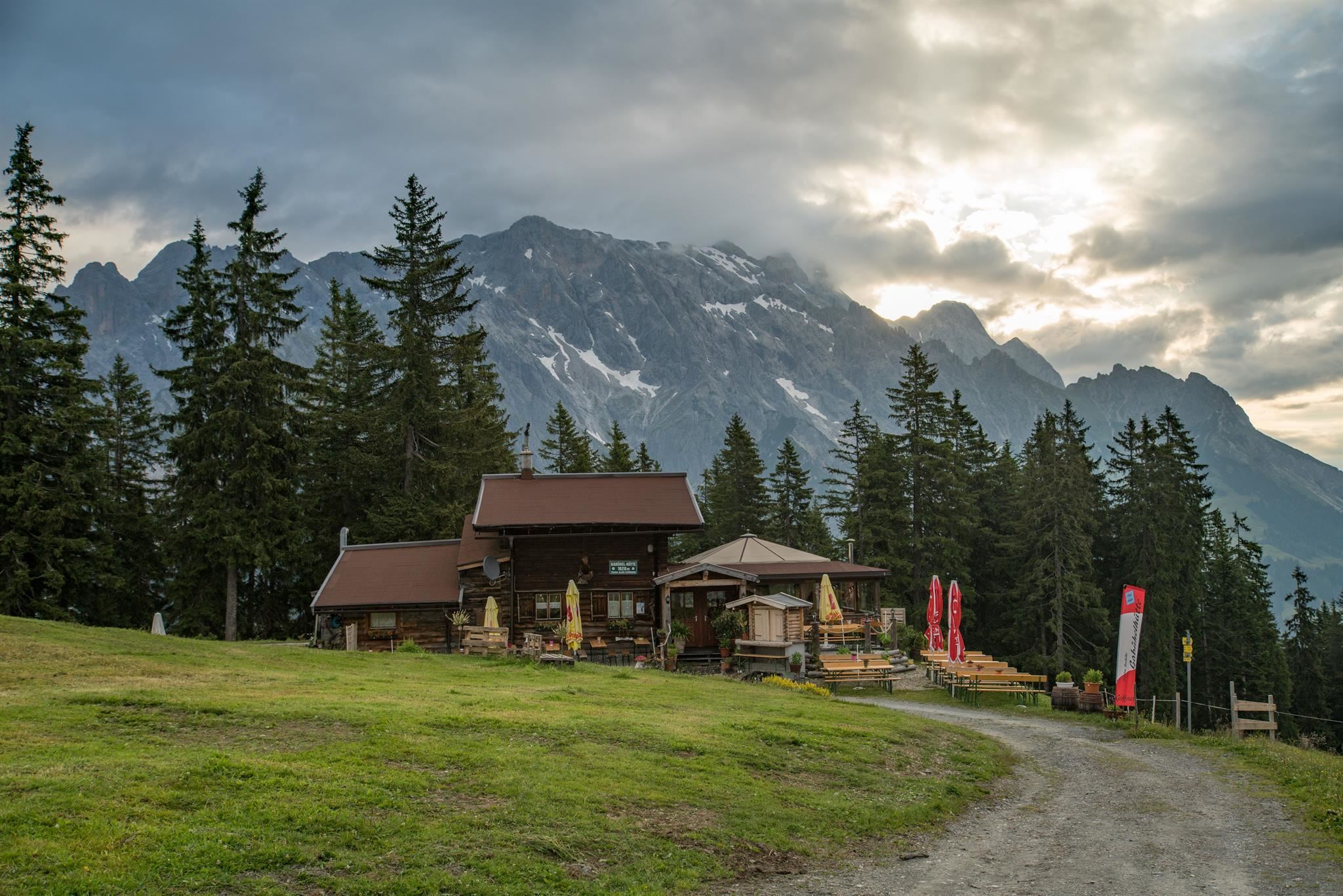
Gabühelhütte 1.620 m
A hut at 1,620 m on the Gabühel above Dienten am Hochkönig, reachable by gondola or on foot, with home cooking and vegan options.
Grünegg Alm
A mountain restaurant above Dienten am Hochkönig, the Grünegg Alm, serving traditional Austrian food through the seasons.
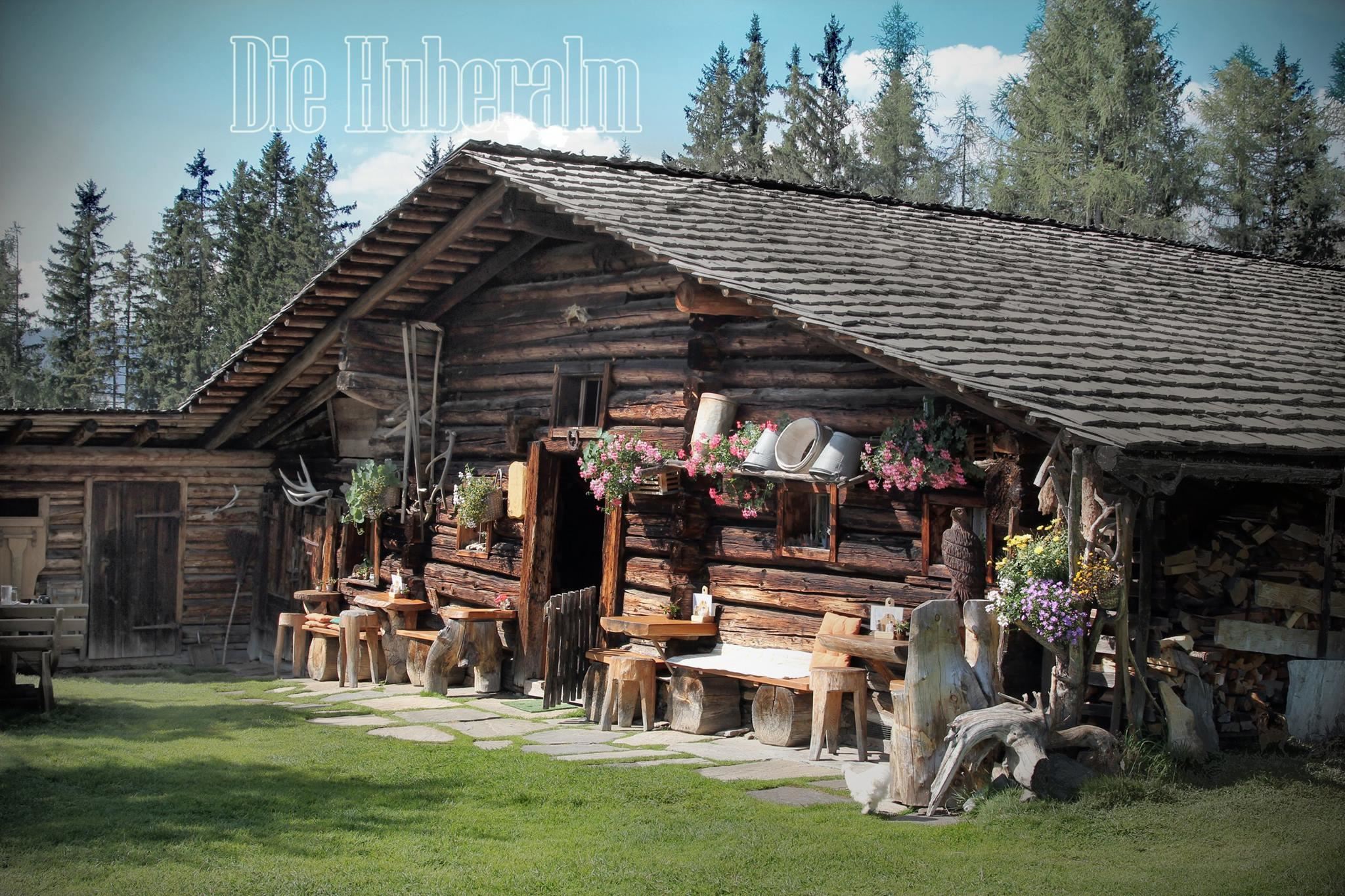
Huberalm 1.422 m
A quiet working alm at 1,422 m above Dienten am Hochkönig, serving simple alm fare to walkers in the summer season.
Königsbergalm 1.325 m
A pasture hut at 1,325 m on the Königsberg above Dienten, serving home-style regional food in the meadows south of the Hochkönig.
Moosalm 1.386 m
A pasture hut at 1,386 m above Dienten am Hochkönig, offering home cooking on the walking routes around the village.
Pichlalm 1.435 m
A pasture hut at 1,435 m in the mountains between Maria Alm and Dienten, serving regional home cooking in open alm country.
Reicheralm 1.580 m
A high pasture hut at 1,580 m in the grazing country south of Dienten, serving Austrian dishes during the summer season.
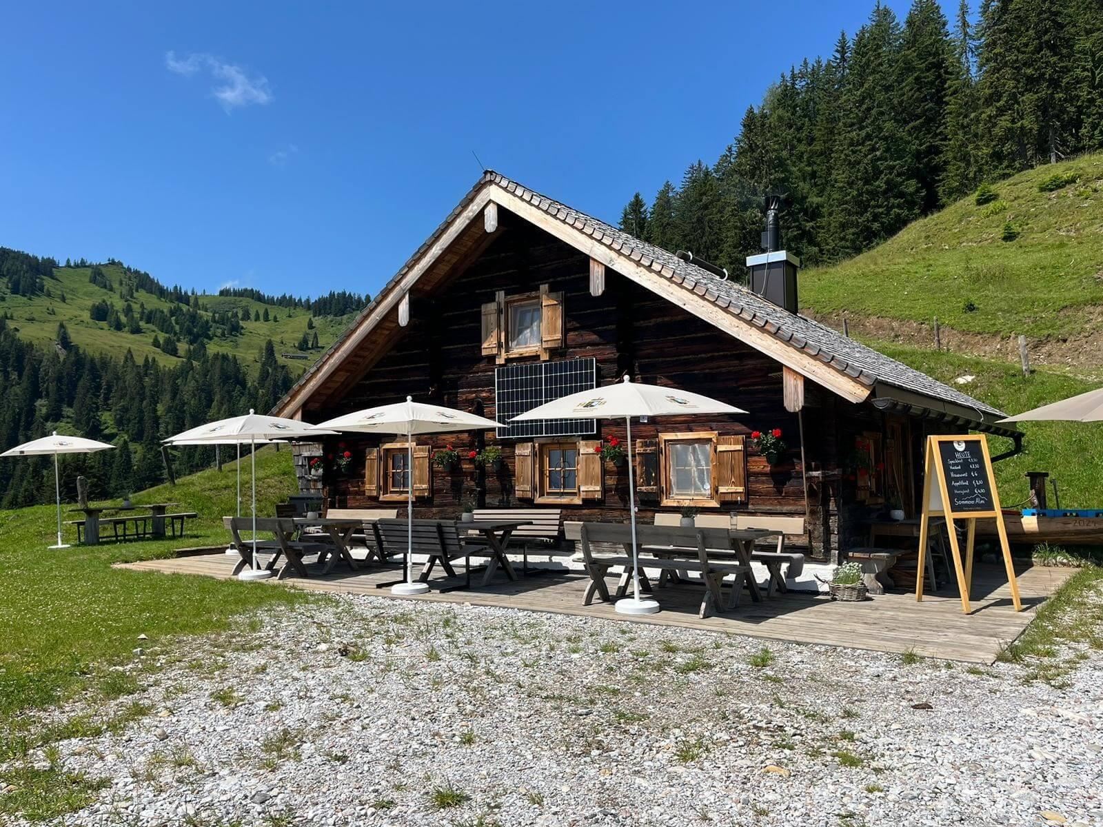
Sommereralm
A small working alm above Dienten am Hochkönig, serving simple refreshments to walkers during the summer grazing season.
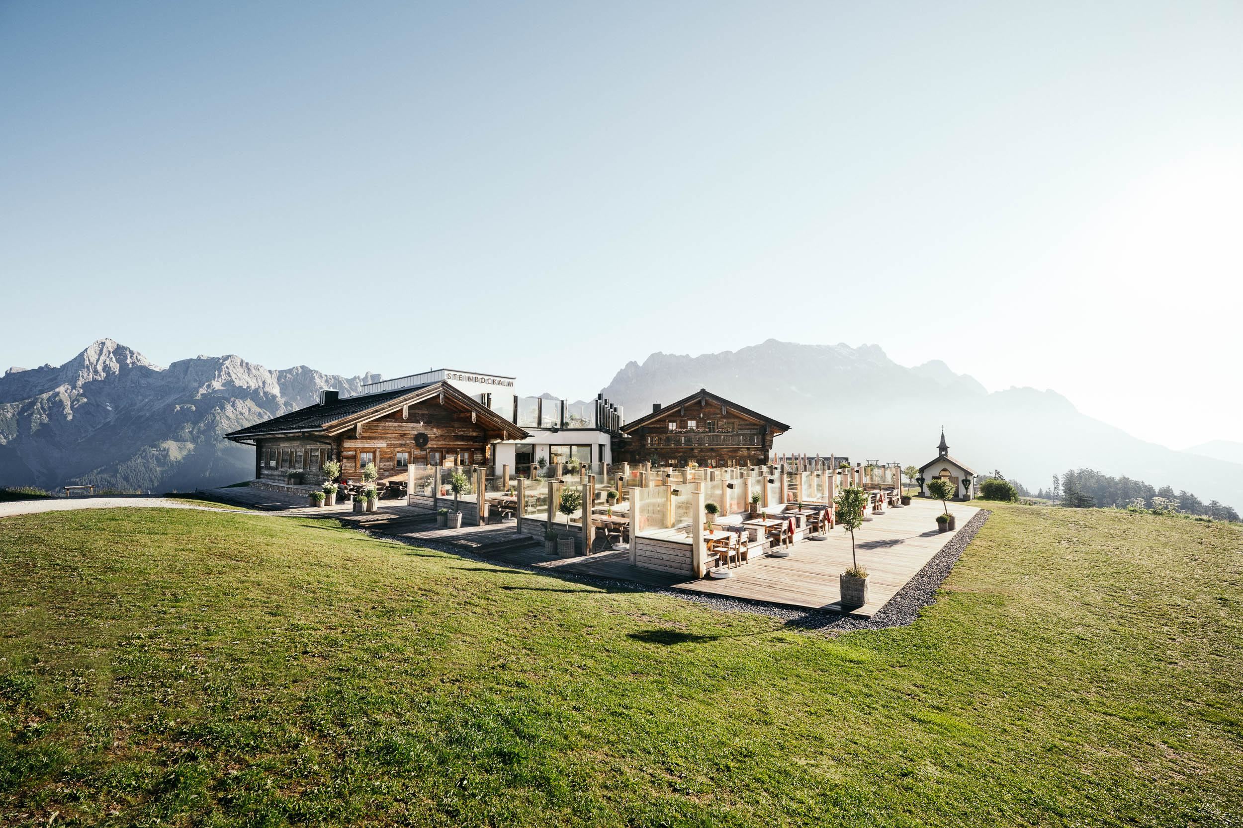
Steinbockalm 1.634 m
A hut at 1,634 m in the Maria Alm sector of the Hochkönig area, serving traditional and vegan dishes beside pistes and paths.
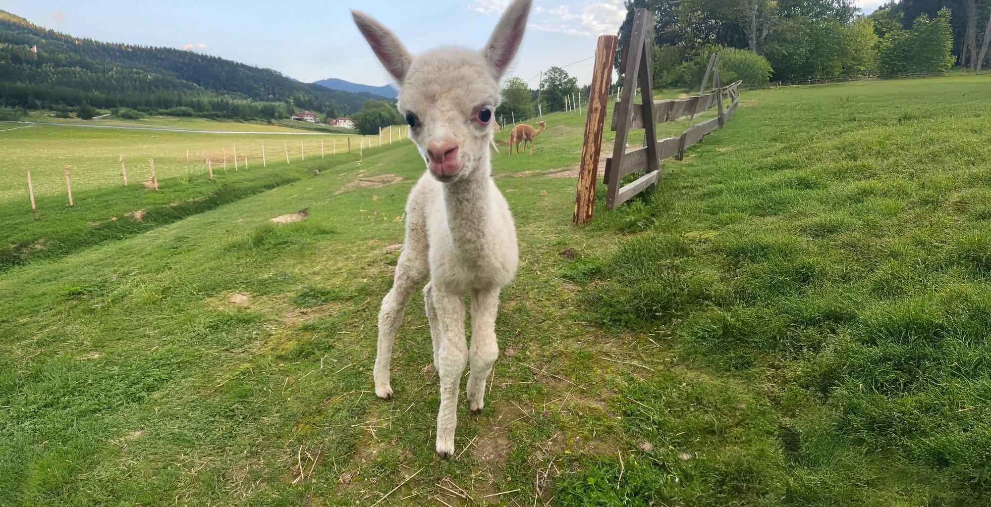
Alpakawanderung am Gabühel
Alpaca walks on the Gabühel above Dienten am Hochkönig, led from the farm along easy mountain paths suited to families with children.
Bürglalm 6er Sesselbahn
A six-seat chairlift onto the Bürglalm above Dienten am Hochkönig, part of the lift chain crossing the Hochkönig ski area.
Bürglalm 6er Sesselbahn 1.655 m
The Bürglalm six-seat chairlift at Dienten am Hochkönig, listed at 1,655 m, used by skiers in winter and by lift walkers in summer.
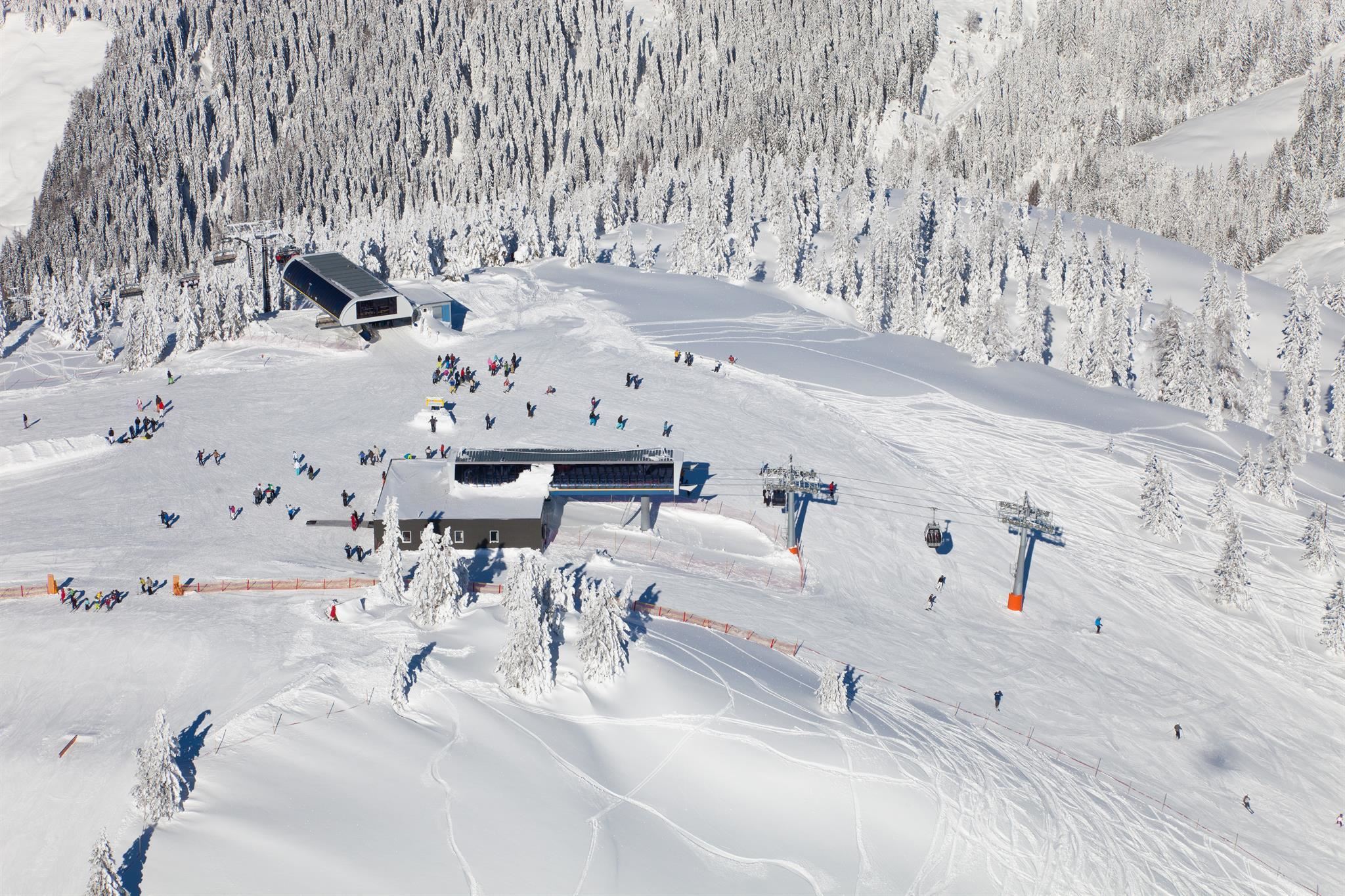
Dachegg 6er Sesselbahn
A six-seat chairlift at Dachegg above Dienten am Hochkönig, one of the links in the ski circuit between Dienten and Mühlbach.
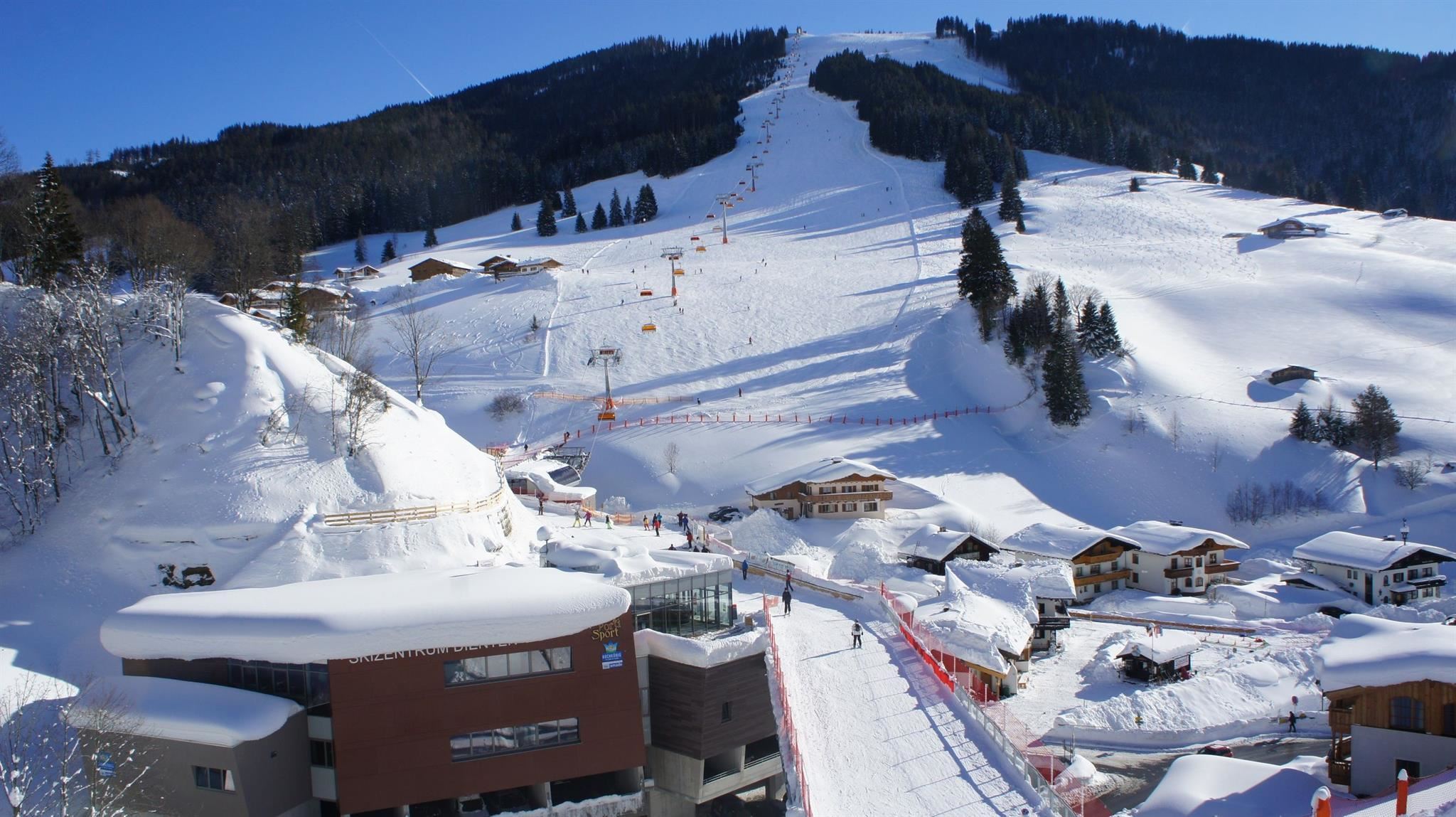
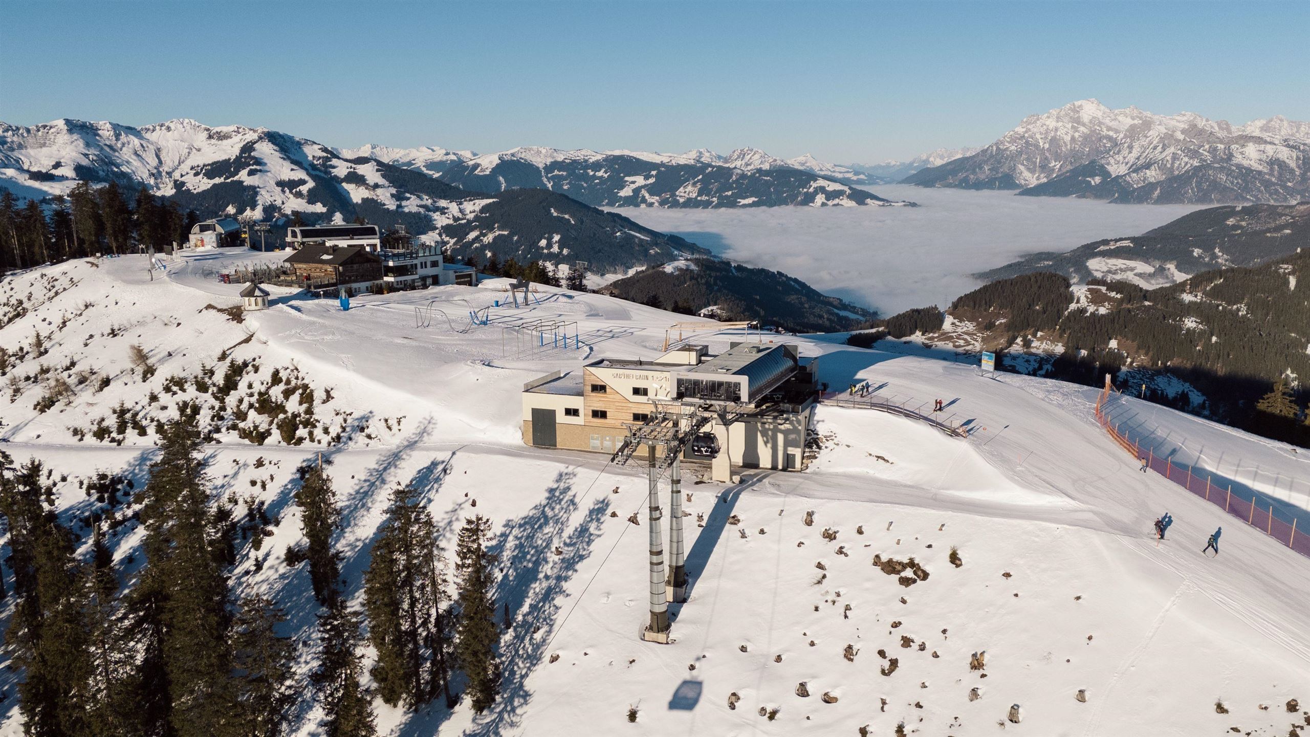
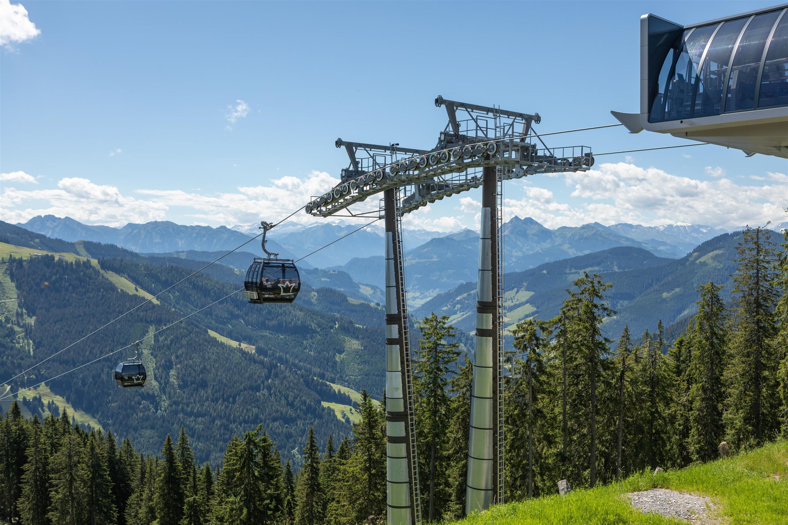
Gabühel 10er Kabinenbahn
A ten-person gondola from Dienten am Hochkönig onto the Gabühel, giving quick access to the ski slopes and summer paths above the village.
Gabühel 10er Kabinenbahn 1.620 m
The Gabühel ten-person gondola at Dienten am Hochkönig, listed at 1,620 m, carrying skiers and walkers to the open slopes above the pass road.
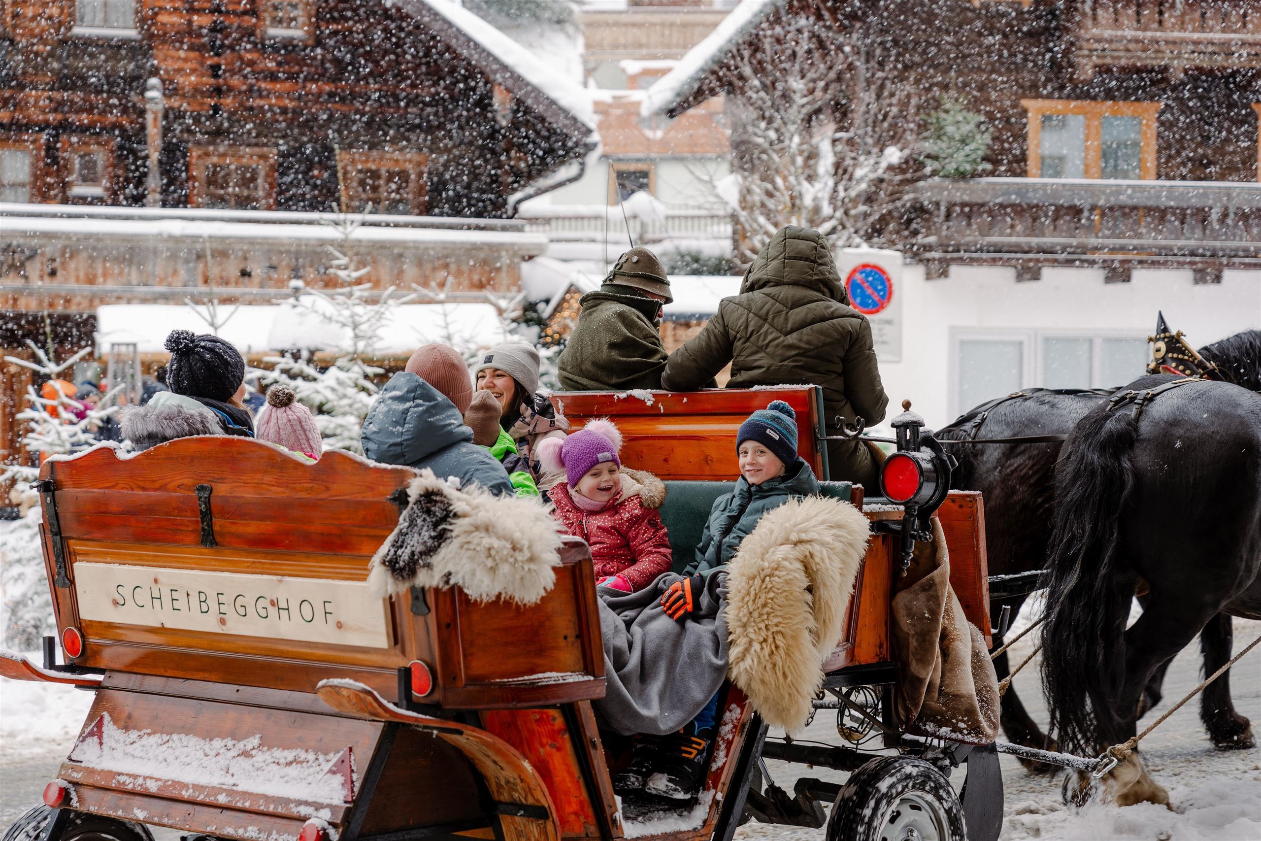
Pferdeschlittenfahrten Esterbauer
Winter sleigh rides with the Esterbauer horses at Dienten am Hochkönig, 1,051 m, crossing snow-covered meadows below the Hochkönig.
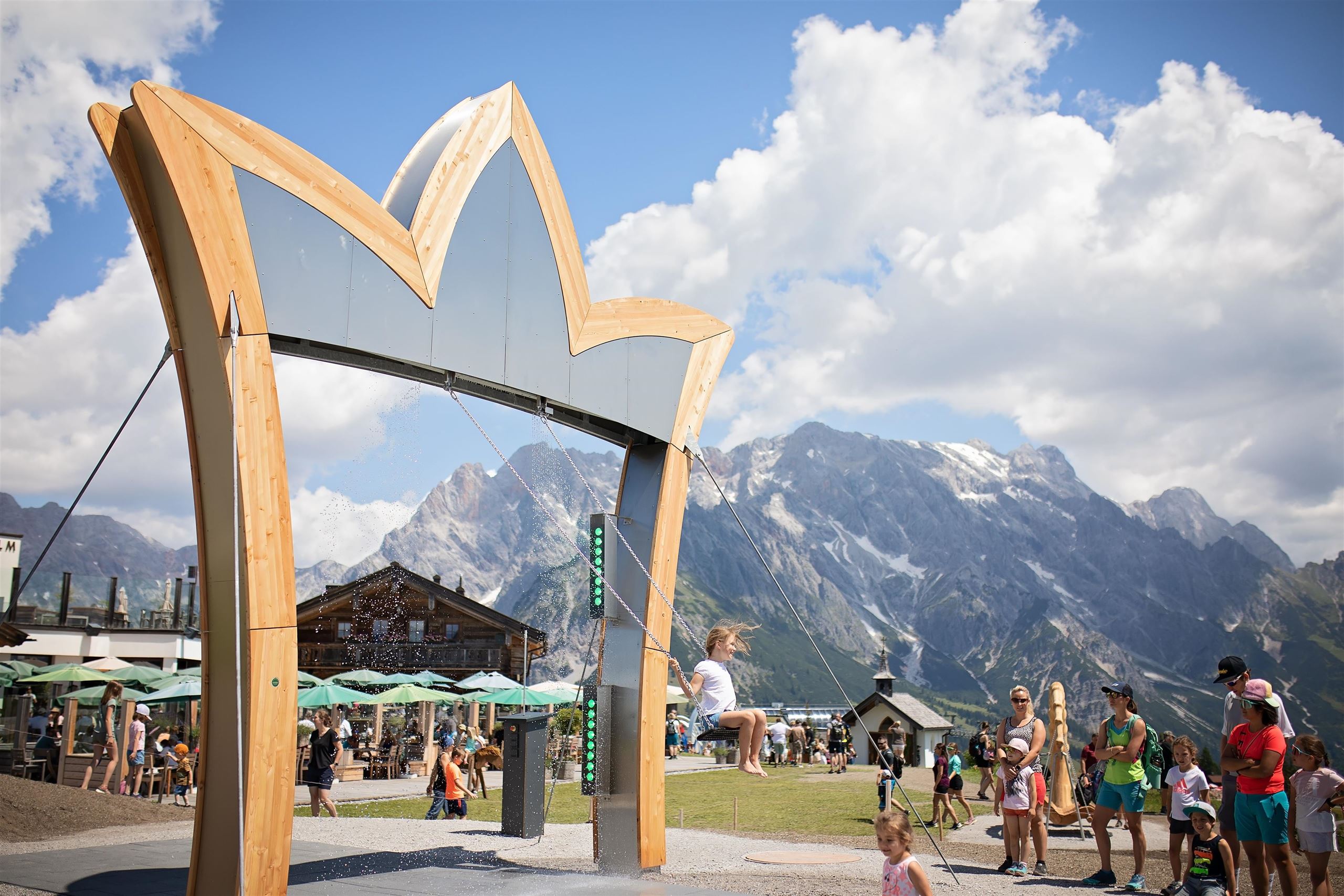
Schaukelpark Hochkönig
A swing park at Dienten am Hochkönig where oversized and unusual swings stand along an easy walking route with mountain views.
Nothing of this kind in Dienten am Hochkönig.
Routes
50 routes, an even mix of activities · see the rest on hochkoenig.at ↗
Königsjodler Klettersteig – Hochkönig
One of the longest cabled routes in Salzburg: 1,650 m of ascent from the Erichhütte over the Grandlspitz and Kematstein by the Hohe Scharte on the Hochkönig ridge.
- 5.2 km
- Distance
- 1 560 m
- Ascent
- 6 h 41 min
- Duration
- 29
- Check-ins
Klettersteig Grandlspitz
Short but hard ferrata above the Erichhütte, mostly graded B/C with a few C/D moves, topping out at 2,310 m near the Taghaubenscharte.
- 8.0 km
- Distance
- 933 m
- Ascent
- 7 h 2 min
- Duration
- 22
- Check-ins
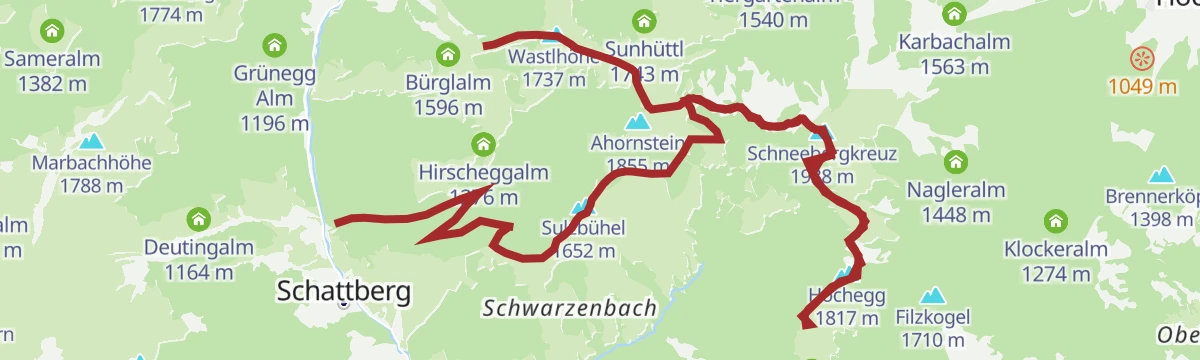
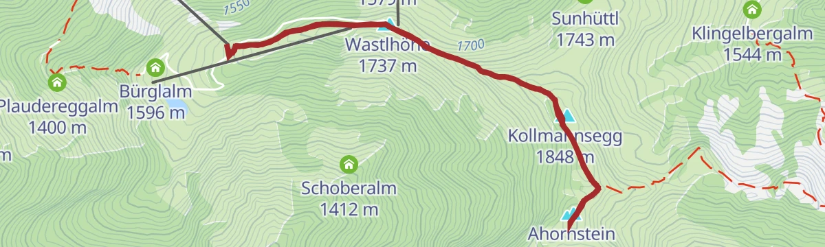
Bike & Hike Bürglalmbahn-Ahornstein TEIL WANDERN
Walking half of a bike-and-hike day, from the Bürglalm lift over the Wastlhöhe and Kollmannsegg to the Ahornstein, with 214 m of ascent.
- 5.0 km
- Distance
- 247 m
- Ascent
- 1 h 49 min
- Duration
- 40
- Check-ins
Hochkönig Hüttenhüpfer Tour 3. Etappe
Closing stage of the hut-hopping round, through alms and woodland to the cross on the Schneeberg, with the Karbachalm lift as an alternative to walking down.
- 11.9 km
- Distance
- 585 m
- Ascent
- 5 h 28 min
- Duration
- 69
- Check-ins
Der Weg der vielen Schritte - Pilgerwandern am Hochkönig
Pilgrim route of nearly 30 km below the Hochkönig, over the Natrun and past the Erichhütte and Jufenalm, meant to be walked step by deliberate step.
- 29.8 km
- Distance
- 1 377 m
- Ascent
- 10 h 31 min
- Duration
- 100
- Check-ins
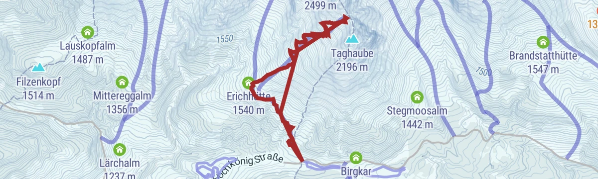
Skitour Taghaube (Taghaubenscharte)
Ski tour to the Taghaubenscharte, 800 m of climbing that steepens above the Erichhütte, with the upper slopes held in shade.
- 6.6 km
- Distance
- 796 m
- Ascent
- 789 m
- Descent
- 2 h 53 min
- Duration
- 17
- Check-ins
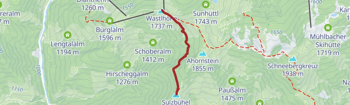
MTB Verbindungstrail Wastlhöhe Sulzbühel
A brief, near-level ridge connector above Dienten am Hochkönig, from the Zachhofalm lift station across to the Sulzbühel side.
- 2.5 km
- Distance
- 20 m
- Ascent
- 16 min
- Duration
- 22
- Check-ins
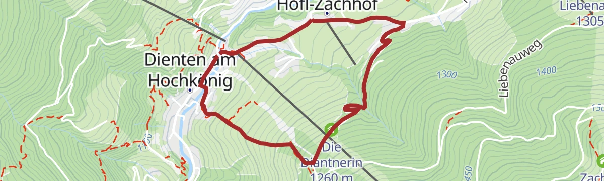
MTB Tour Nani & Mariedl Trail (Tour 10)
A loop pairing the forest-road climb to the Zachhof Alm with a singletrack descent back down to Dienten am Hochkönig.
- 11.0 km
- Distance
- 608 m
- Ascent
- 1 h 38 min
- Duration
- 19
- Check-ins
Königstour Bike LIGHT gesamt
A very long day linking the alms of the Hochkönig area, among them the Karbachalm, Bürglalm and Tiergartenalm, with well over 3,000 m of climbing.
- 77.4 km
- Distance
- 3 609 m
- Ascent
- 10 h 17 min
- Duration
- 152
- Check-ins
IRONMAN 70.3. WM-Radstrecke
The road racing circuit around Zell am See, running out to Bruck in the Salzach valley and over the Filzensattel before returning to the lake.
- 89.9 km
- Distance
- 1 247 m
- Ascent
- 9 h 9 min
- Duration
- 17
- Check-ins
Königsstrecke mit Genuss in Dienten - AHORNSTEIN
Short panorama walk in Dienten over the Wastlhöhe and Kollmannsegg to the Ahornstein, with 225 m of ascent.
- 5.2 km
- Distance
- 282 m
- Ascent
- 2 h 1 min
- Duration
- 40
- Check-ins
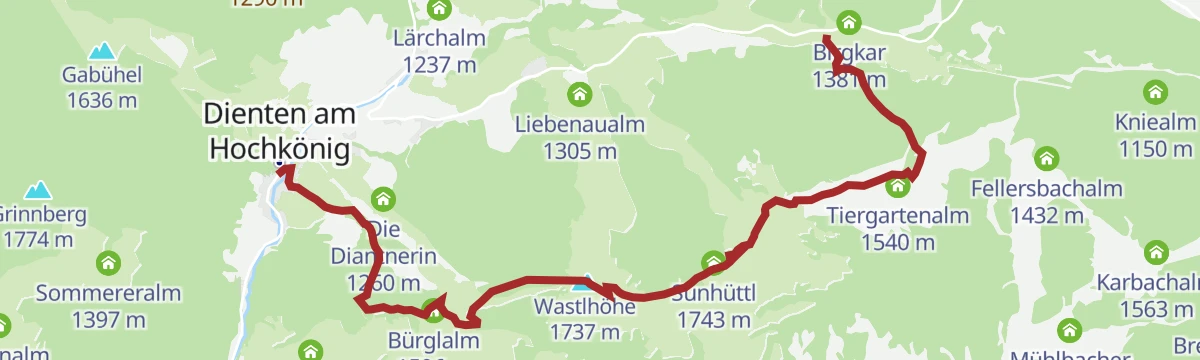
Almwanderung vom Dientner Sattel ins Dorf Dienten
Alm walk over grassy tops around 1,740 m from the Dientner Sattel down into Dienten, facing the Hochkönig, with the Bürglalm and Dientalm en route.
- 8.5 km
- Distance
- 432 m
- Ascent
- 3 h 43 min
- Duration
- 44
- Check-ins
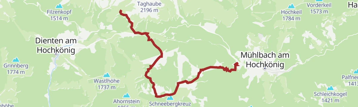
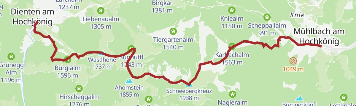
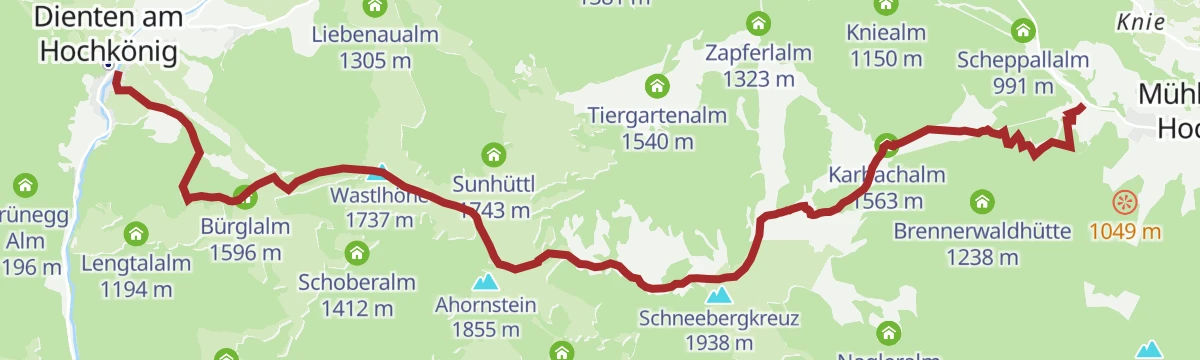
PINZGA HATSCHA Etappe 7 (von Mühlbach nach Dienten)
Seventh stage of the Pinzgau long-distance route, from Mühlbach over the Karbachalm, Schneeberg and Kollmannsegg to Dienten, with 1,227 m of climbing.
- 14.4 km
- Distance
- 1 247 m
- Ascent
- 7 h 31 min
- Duration
- 86
- Check-ins
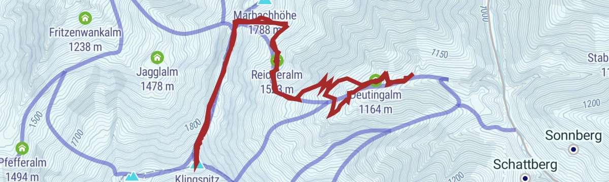
Skitour zum Klingspitz
Ski tour of 900 m to the Klingspitz by the Deutingalm and Reicheralm, facing the Hohe Tauern and the Steinernes Meer from the top.
- 10.7 km
- Distance
- 906 m
- Ascent
- 908 m
- Descent
- 3 h 48 min
- Duration
- 9
- Check-ins
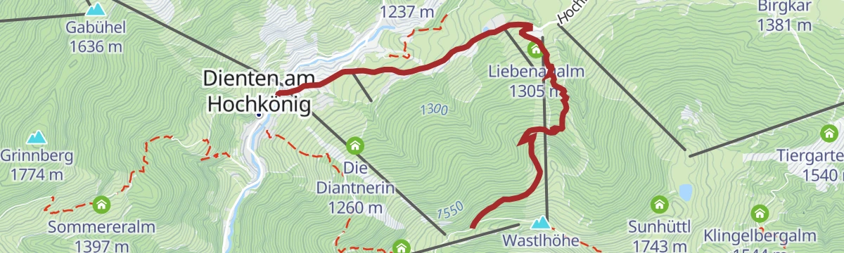
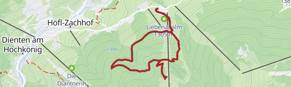
DI10 Nani & Mariedl MTB Trail
An easy downhill singletrack on the Liebenau side of Dienten, dropping from the Zachhof Alm past the Liebenaualm to the lift station.
- 5.0 km
- Distance
- 0 m
- Ascent
- 39 min
- Duration
- 11
- Check-ins
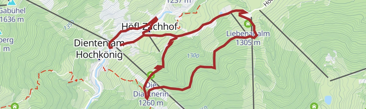
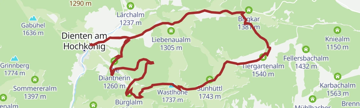
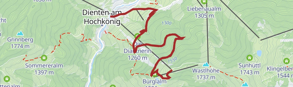
e-Bike Tour - Liebenaualm Runde
A short e-bike circuit above Dienten to the Liebenaualm, with the Übergossene Alm and Die Diantnerin along the way.
- 8.3 km
- Distance
- 350 m
- Ascent
- 1 h 4 min
- Duration
- 11
- Check-ins
MTB - Panoramatour Region Hochkönig
A long forest-road traverse from the alms above Maria Alm, over the Wastlhöhe and by the Mittereggalm and Zachhof Alm, down to Bischofshofen at 550 m.
- 48.3 km
- Distance
- 1 940 m
- Ascent
- 6 h 12 min
- Duration
- 78
- Check-ins
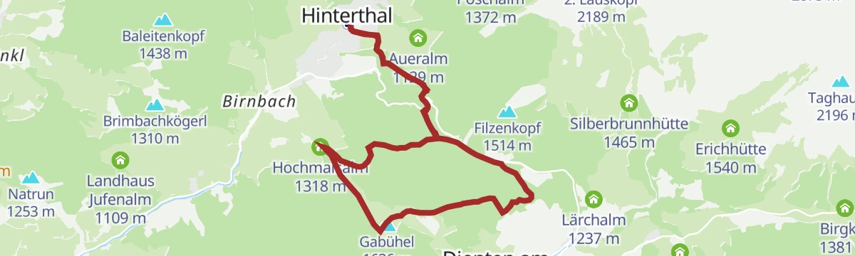
Dientner Runde + Rauriserhöhe
A long road circuit from Maria Alm over the Filzensattel to Bruck at the mouth of the Salzach valley, with a second big climb before the return.
- 72.7 km
- Distance
- 1 642 m
- Ascent
- 7 h 60 min
- Duration
- 16
- Check-ins
DEN KRÄUTERN AUF DER SPUR zur Steinbockalm
Easy herb-themed walk from the Filzensattel to the Steinbockalm, passing the Gabühelhütte, with 336 m of ascent.
- 6.6 km
- Distance
- 339 m
- Ascent
- 2 h 28 min
- Duration
- 33
- Check-ins
Gipfelstürmertour zum Klingspitz
Summit walk over the Gabühel to the Klingspitz, passing the Steinbockalm and Lettenalm; a serious day despite the modest 505 m of ascent.
- 13.5 km
- Distance
- 509 m
- Ascent
- 5 h 20 min
- Duration
- 41
- Check-ins
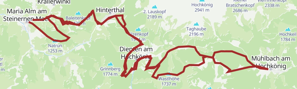
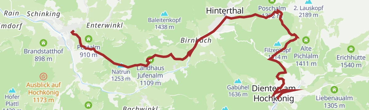
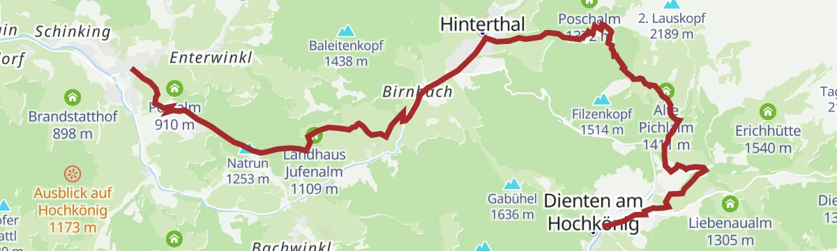
PINZGA HATSCHA Etappe 5 (von Maria Alm nach Dienten)
Stage 5 of a long-distance route through the Pinzgau: 17 km from Maria Alm over the Natrun and the Jufenalm to Dienten.
- 17.3 km
- Distance
- 1 085 m
- Ascent
- 6 h 56 min
- Duration
- 79
- Check-ins
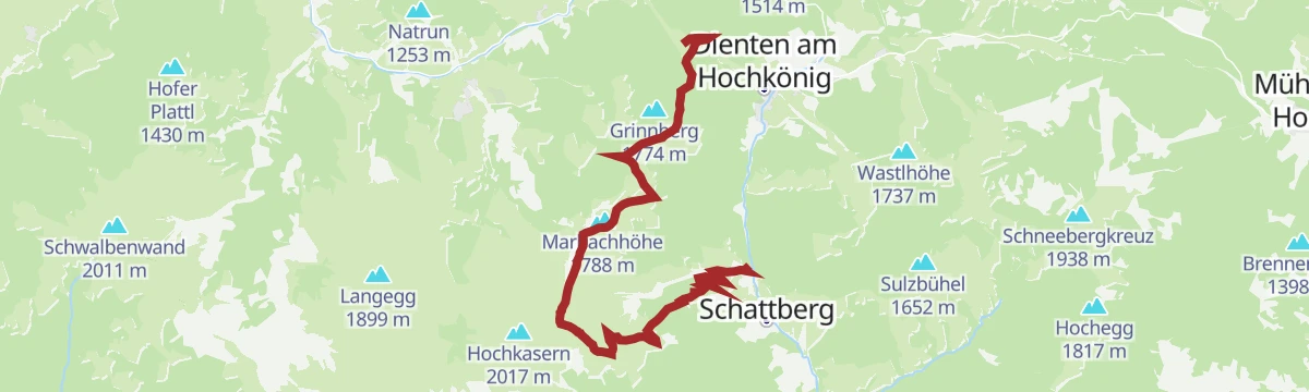
Skitourenlehrpfad Dienten
Signed ski-touring teaching route in Dienten, 676 m of climbing to the Grünköpfl past the Grünegg Alm, looking across to the Hochkönig massif.
- 8.7 km
- Distance
- 676 m
- Ascent
- 675 m
- Descent
- 3 h
- Duration
- 1
- Check-ins
Bürglalm - Mitzi Trail - Skill Area (Tour 9)
A short lift-served descent from the Bürglalm back down to the valley floor at Dienten am Hochkönig, finishing at the skills area.
- 5.1 km
- Distance
- 0 m
- Ascent
- 41 min
- Duration
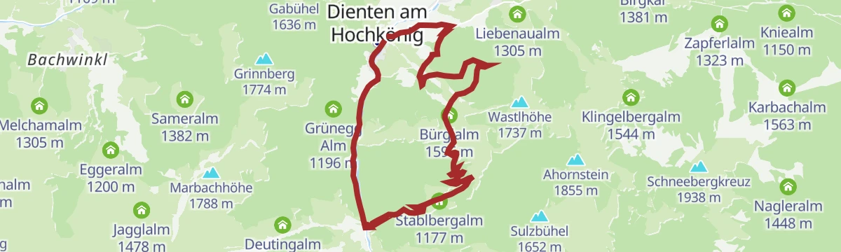
MTB Tour - Hirscheggalm Runde (Tour 5)
A medium forest-road loop out of Dienten to the Hirscheggalm, returning by the Stablbergalm under the Wastlhöhe lift.
- 13.3 km
- Distance
- 594 m
- Ascent
- 1 h 44 min
- Duration
- 10
- Check-ins
MTB Tour - Bürglalm Runde (Tour 4)
A forest-road loop up to the Wastlhöhe, linking the Tiergartenalm, the Dientalm and the Sunhüttl high above the Dienten valley.
- 15.5 km
- Distance
- 727 m
- Ascent
- 2 h 4 min
- Duration
- 53
- Check-ins
Rundweg über die Wastlhöhe
Short round over the Wastlhöhe between the Bürglalm and the Zachhofalm, facing the Hochkönig, with 185 m of ascent.
- 3.4 km
- Distance
- 179 m
- Ascent
- 1 h 18 min
- Duration
- 30
- Check-ins
DEN KRÄUTERN AUF DER SPUR von der Steinbockalm zur Mußbachalm
A herb walk out of Hinterthal linking the Steinbockalm, Pichlalm and Mußbachalm over the Gabühel, with alpine plants labelled along the way.
- 12.4 km
- Distance
- 845 m
- Ascent
- 5 h 39 min
- Duration
- 40
- Check-ins
Via Alpina 3. Etappe
Third Via Alpina stage, following alm paths from the Hochkönig towards the Steinernes Meer by the Pichlalm, the Jufenalm and the Natrun.
- 17.4 km
- Distance
- 774 m
- Ascent
- 6 h 22 min
- Duration
- 78
- Check-ins
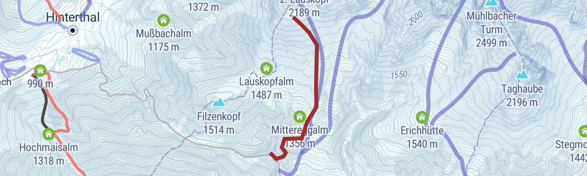
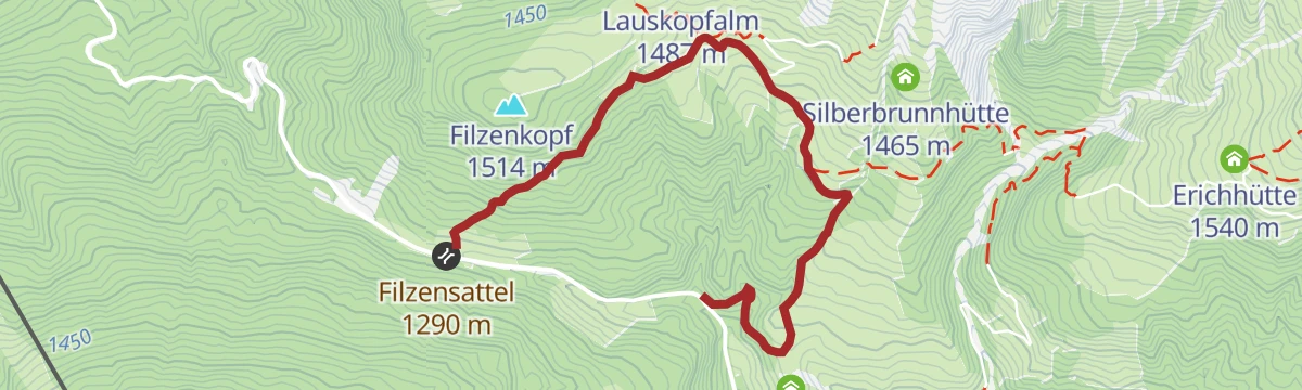
Skitour Lausköpfe
Ski tour in the western Hochkönig massif, 700 m in under 2.5 km, easy going low down and steepening towards the top; best left for spring.
- 2.5 km
- Distance
- 697 m
- Ascent
- 0 m
- Descent
- 1 h 47 min
- Duration
Bike & Hike Bürglalmbahn-Ahornstein TEIL BIKE
The riding half of a bike-and-hike day above Dienten, climbing the lift-served slopes to the Bürglalm at around 1,600 m.
- 11.6 km
- Distance
- 587 m
- Ascent
- 1 h 37 min
- Duration
- 9
- Check-ins
e-Bike Tour - große Bürglalmrunde über's Sunnhüttl
The bigger e-bike round above Dienten, climbing to the Sunhüttl at 1,743 m by way of the Dientalm and the Tiergartenalm.
- 16.7 km
- Distance
- 736 m
- Ascent
- 2 h 10 min
- Duration
- 53
- Check-ins
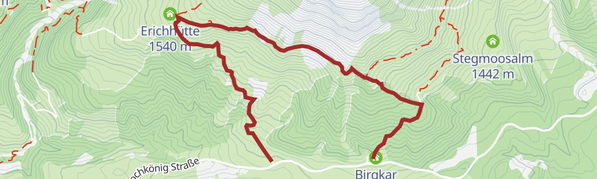
Almwanderung zur Erichhütte
Easy alm walk from the Dientner Sattel to the Erichhütte below the Birgkar, with 249 m of ascent.
- 4.0 km
- Distance
- 242 m
- Ascent
- 1 h 36 min
- Duration
- 20
- Check-ins
Gipfelstürmer Ahornstein
From the Dientner Sattel over the Tiergartenalm to the Kollmannsegg and Ahornstein, then past the Sulzbühel to the Huberalm and on down to Dienten.
- 14.5 km
- Distance
- 716 m
- Ascent
- 5 h 53 min
- Duration
- 37
- Check-ins
Pinzgauer Marienweg Etappe 11: Dienten - Maria Alm
Eleventh stage of the Pinzgauer Marienweg, crossing the Filzensattel from Dienten and passing the Jufenalm on the way to Maria Alm.
- 16.3 km
- Distance
- 653 m
- Ascent
- 5 h 41 min
- Duration
- 74
- Check-ins
e-Bike Tour - Gabühel Runde
An e-bike round on forest roads over the Filzensattel, with stops possible at the Grünegg Alm and the Gabühelhutte.
- 14.7 km
- Distance
- 627 m
- Ascent
- 1 h 54 min
- Duration
- 8
- Check-ins
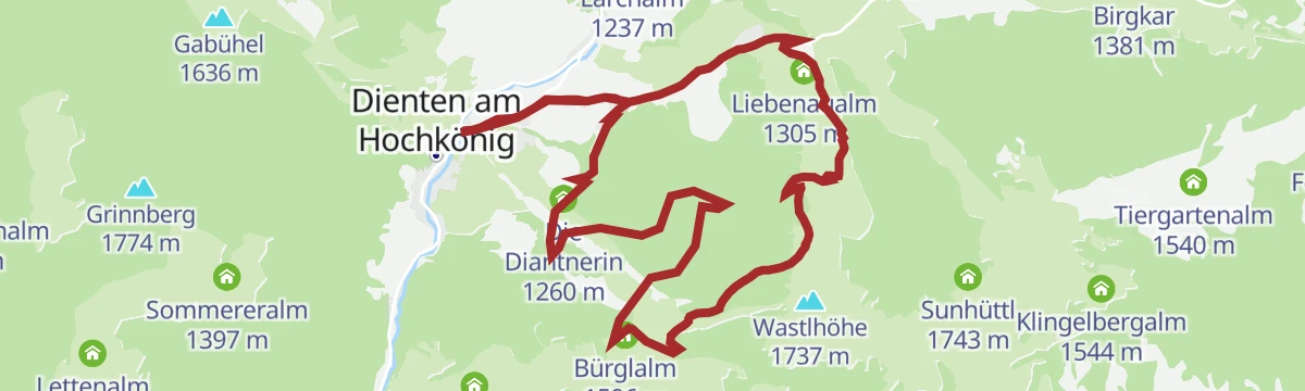
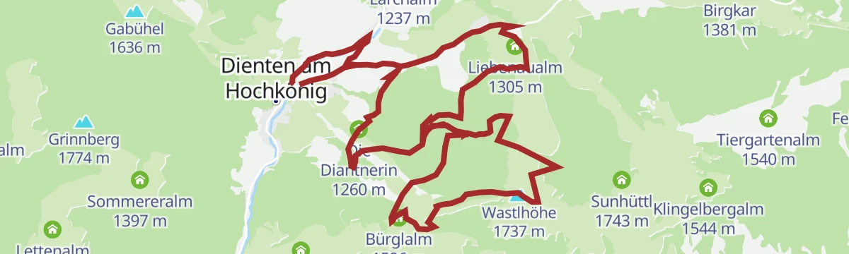
e-Bike Tour - Zachhofalm Runde
An e-bike circuit to the Zachhof Alm and the Wastlhöhe, returning by Die Diantnerin and the Liebenaualm above Dienten.
- 15.2 km
- Distance
- 703 m
- Ascent
- 2 h 1 min
- Duration
- 41
- Check-ins
Almwanderung zur Zachhofalm
Easy alm walk on rock path and forest road to the Zachhofalm, passing the Liebenaualm, with 313 m of ascent.
- 5.2 km
- Distance
- 310 m
- Ascent
- 2 h 9 min
- Duration
- 7
- Check-ins
Vom Filzensattel über Gabühelhütte - Grünegg Alm nach Dienten
Traverse from the Filzensattel by the Gabühelhütte and the Grünegg Alm down to Dienten, 11 km with several huts to stop at.
- 11.4 km
- Distance
- 382 m
- Ascent
- 3 h 51 min
- Duration
- 37
- Check-ins
Der Königsweg 3. Etappe (Mühlbach - Dienten)
Third stage of the Königsweg, a stiff 1,129 m over the Bürglalm, Schneeberg and Kollmannsegg from Mühlbach down to Dienten.
- 12.2 km
- Distance
- 1 132 m
- Ascent
- 6 h 49 min
- Duration
- 68
- Check-ins
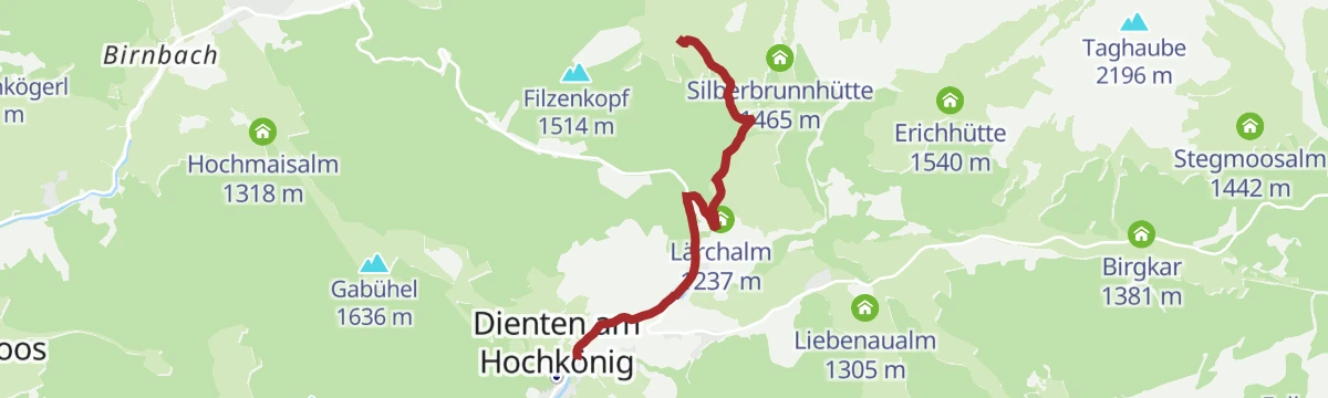
MTB-Tour Pichlalm (Tour 2)
A medium loop from Dienten up to the Pichl Alm, passing the Lärchalm and the old dairy at Alte Pichlalm on forest roads.
- 7.6 km
- Distance
- 364 m
- Ascent
- 1 h 2 min
- Duration
- 5
- Check-ins
MTB Tour - Gabühel Runde (Tour 1)
A forest-road circuit over the Gabühel, crossing the Filzensattel and calling at the Steinbockalm and the Grünegg Alm.
- 15.8 km
- Distance
- 623 m
- Ascent
- 1 h 59 min
- Duration
- 36
- Check-ins
Almwanderung zur Pichlalm
Short there-and-back to the Pichlalm with a return over the Filzensattel, 241 m of ascent and well suited to families.
- 3.5 km
- Distance
- 250 m
- Ascent
- 1 h 29 min
- Duration
- 5
- Check-ins
Alm- und Hüttenwanderung "Hochmaisalm & Steinbockalm"
An 8 km round over the Gabühel and Filzensattel with two possible stops, the Hochmaisalm and the Steinbockalm.
- 8.1 km
- Distance
- 394 m
- Ascent
- 2 h 54 min
- Duration
- 36
- Check-ins
Salzburger Almenweg - Etappe 03: Dienten - Böndlsee
Third Almenweg stage, a 1,160 m day over the Wastlhöhe, Schneeberg and Kollmannsegg from Dienten to the Böndlsee, with the Bürglalm early on.
- 19.0 km
- Distance
- 1 160 m
- Ascent
- 8 h 24 min
- Duration
- 62
- Check-ins
e-Bike Tour - Pichlalm Runde
A steep e-bike climb from Dienten past the Lärchalm and Mittereggalm to the Pichl Alm, gaining 370 m in under 4 km.
- 3.8 km
- Distance
- 364 m
- Ascent
- 36 min
- Duration
- 5
- Check-ins
Ironman - Rund um die Pinzgauer Grasberge
The Ironman bike loop round the Pinzgau grass mountains, out by Maria Alm and back along the Salzach.
- 63.8 km
- Distance
- 796 m
- Ascent
- 6 h 25 min
- Duration
- 20
- Check-ins
Rundweg "Die Deantnerin"
Short round out of Dienten to the hut called Die Deantnerin and back down, with 235 m of ascent.
- 3.3 km
- Distance
- 218 m
- Ascent
- 1 h 29 min
- Duration
- 4
- Check-ins
Alm- und Hüttenwanderung Hinterthal
An 11 km round from Hinterthal onto the Hochmais, taking in the Steinbockalm, Gabühelhütte and Filzensattel.
- 10.9 km
- Distance
- 659 m
- Ascent
- 4 h 33 min
- Duration
- 36
- Check-ins
Gipfelstürmer Gamskögerl
Long day over the Schneeberg and Kollmannsegg to the Gamskögerl, 20 km with the Huberalm and Moaralm on the route.
- 20.3 km
- Distance
- 935 m
- Ascent
- 8 h 19 min
- Duration
- 48
- Check-ins
MTB Tour - Böndlsee (Tour 8)
A short round from Goldegg down to the Böndlsee and back by the Gabühel lift.
- 11.1 km
- Distance
- 181 m
- Ascent
- 1 h 13 min
- Duration
- 3
- Check-ins
No routes of this kind in Dienten am Hochkönig yet.
The region's own picks
Featured route
Bike & Hike Bürglalmbahn-Ahornstein TEIL WANDERN
Walking half of a bike-and-hike day, from the Bürglalm lift over the Wastlhöhe and Kollmannsegg to the Ahornstein, with 214 m of ascent.
Planning a trip to Dienten am Hochkönig?
Everything else Salzburg (state) has, in one place


Take Dienten am Hochkönig with you into the mountains
Every route on this page with 3D terrain, GPX navigation and offline maps — including the valleys with no signal.
Data sources
- Official website: hochkoenig.at ↗
- Routes and highlights: Hochkönig Tourismus, Zell am See-Kaprun Tourismus
- Published as open data by the tourist boards named above.
- Region summary generated from the board's own material.
