








Curated by Sterzing, Pfitsch und Freienfeld
Curon Venosta/Graun im Vinschgau
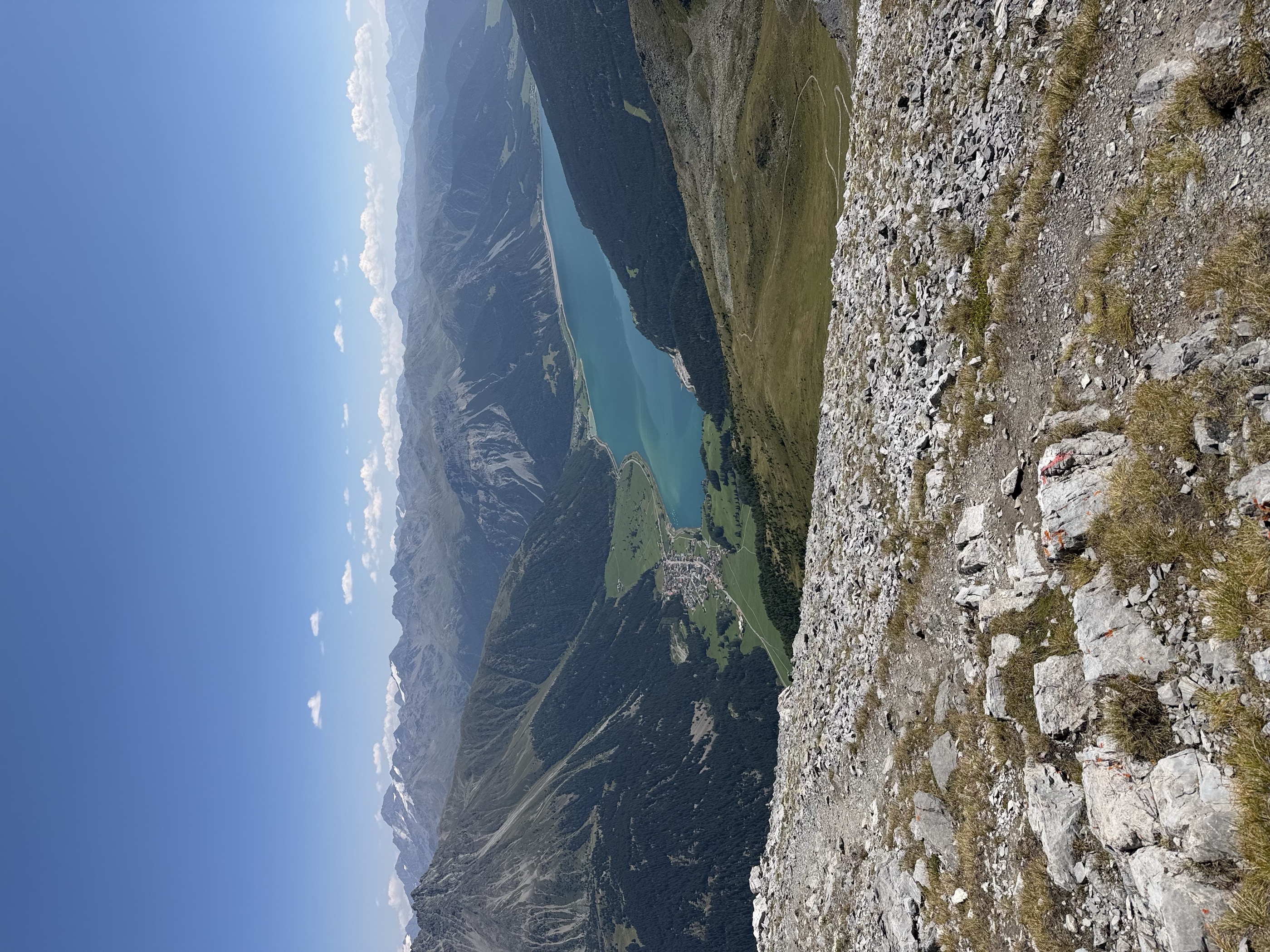
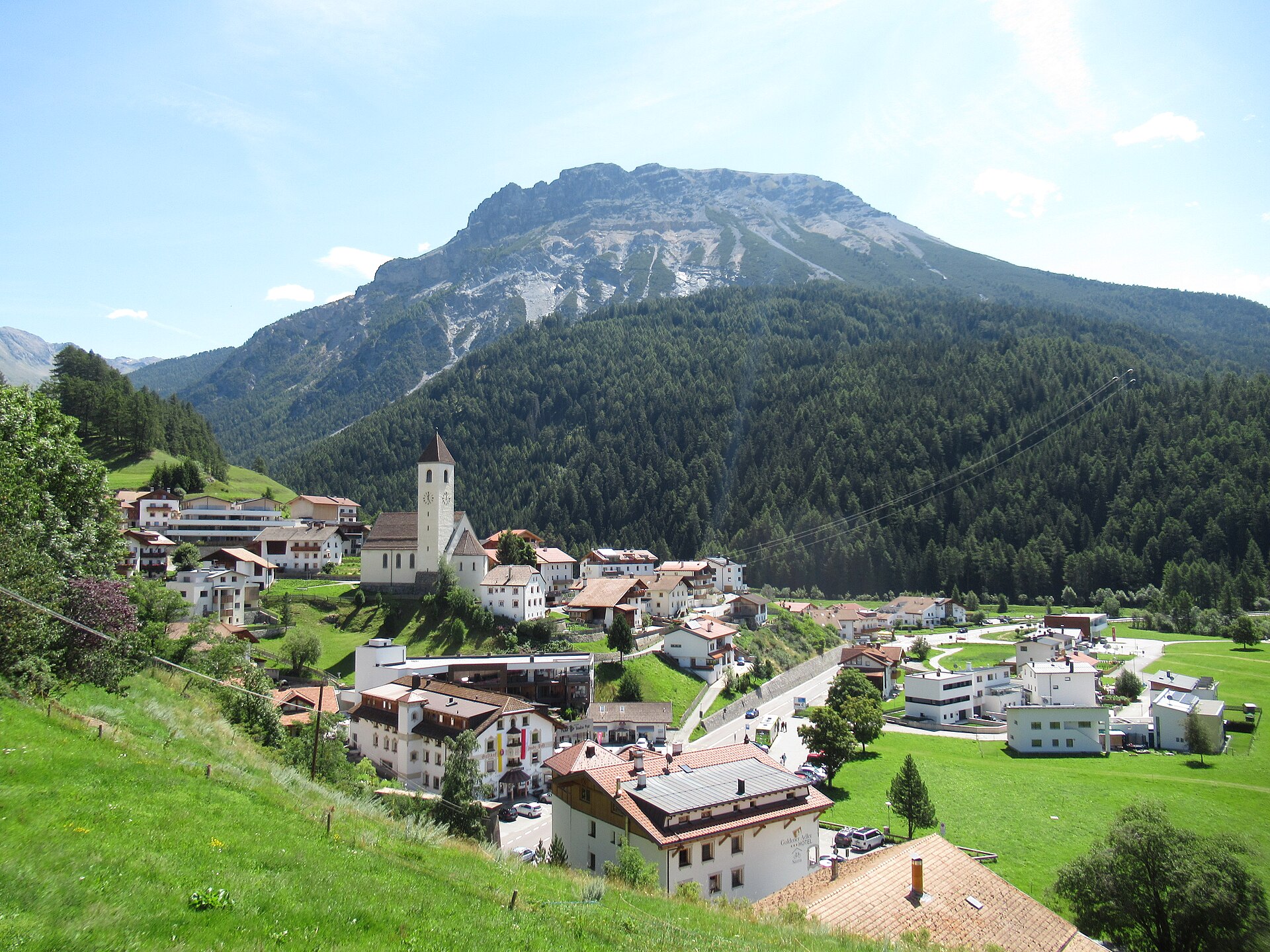
The village rebuilt above the dammed Lago di Resia, whose submerged bell tower stands offshore below the Reschen pass.
- 2Highlights
- 33Routes
- Featured summit · Piz Lat
Highlights
3 from neighbouring places
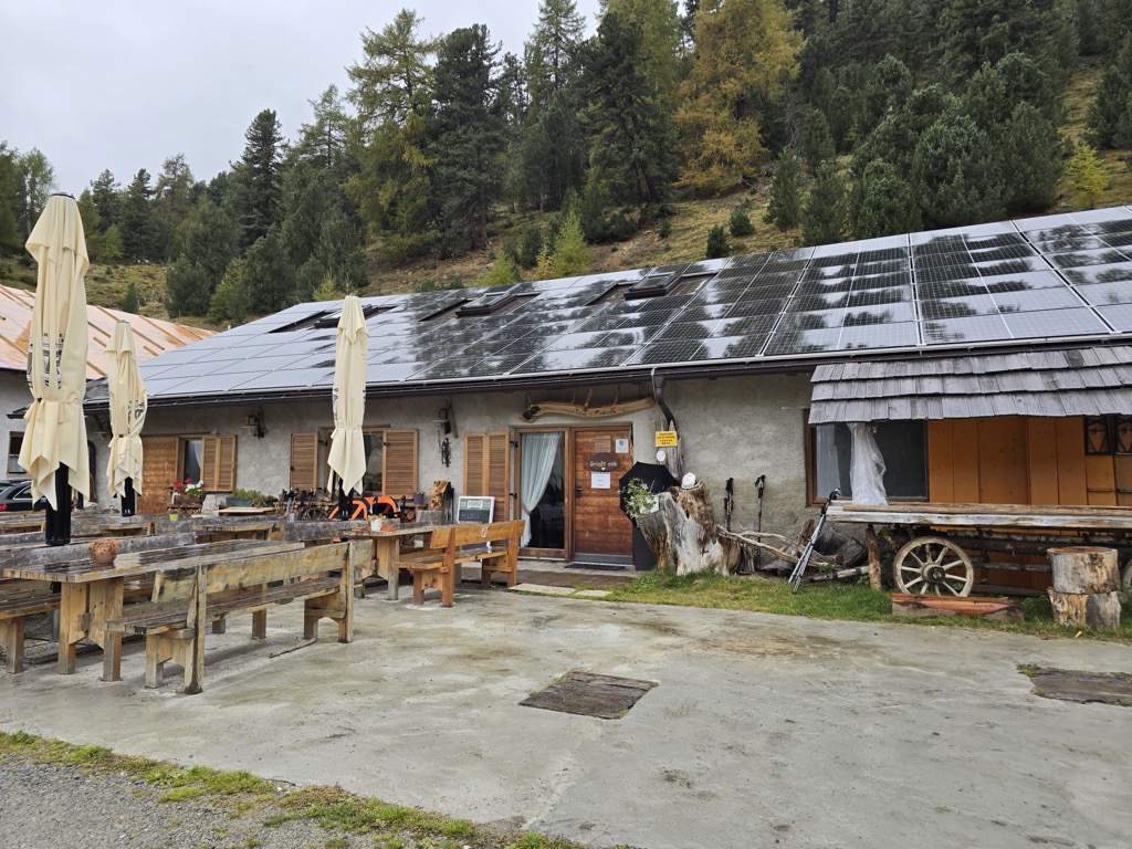
Baita Maseben
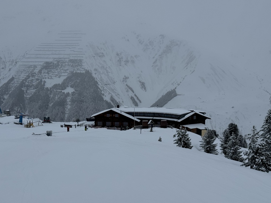
A mountain house at Maseben above Melago, in the Langtaufers valley of the comune of Curon Venosta, reached by the small lift from the valley road.
Malga di Melago
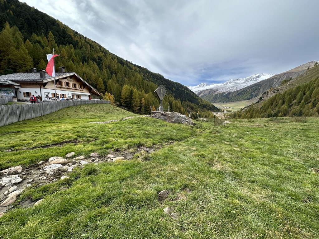
A dairy hut at the head of the Langtaufers valley above Melago, the last stop before the glaciers of the Weisskugel.
Sterzing, Pfitsch und FreienfeldMalga Brugger
7.2 km away, in Malles Venosta/Mals
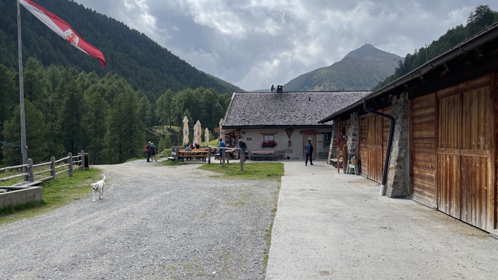
A dairy hut on the pastures above Malles Venosta, high on the slopes of the upper Vinschgau.
Sterzing, Pfitsch und FreienfeldMalga Höfer
12 km away, in Malles Venosta/Mals
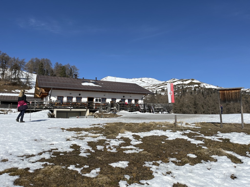
A farm dairy hut above the Malles basin, on the open slopes of the upper Vinschgau.
Sterzing, Pfitsch und FreienfeldMalga di Mazia
12.5 km away, in Malles Venosta/Mals
A dairy hut in the Matscher Tal above Mazia, in the comune of Malles Venosta, on the long approach to the Weisskugel and the Ötztal Alps.
Sterzing, Pfitsch und Freienfeld
Nothing of this kind in Curon Venosta/Graun im Vinschgau.
Routes
Escursione delle leggende
A circuit of the Resia lake with the drowned church tower in view, told through the valley's legends.
- 3.5 km
- Distance
- 86 m
- Ascent
- 1 h 2 min
- Duration
Open route Sterzing, Pfitsch und FreienfeldEscursione malghe/rifugi Bruggeralm
A walk up the Zerzertal to the Bruggeralm, the dairy at the head of the side valley above Curon Venosta.
- 8.4 km
- Distance
- 460 m
- Ascent
- 2 h 54 min
- Duration
- 20
- Check-ins
 Roby Keller 1 479 m
- Brugger Alm - Malga Brugger 1 941 m
 Fauler See 1 567 m
- St.Martin im Zerzertal - San Martino in Valle di Serres 1 787 m
- Heustadel 1 677 m
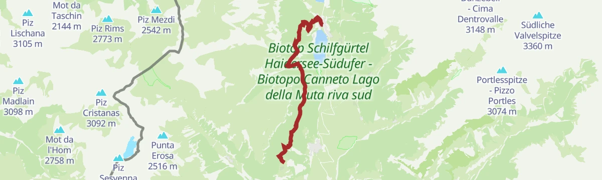
Open route Sterzing, Pfitsch und Freienfeld360° Alta Venosta: San Valentino a. M. - Resia
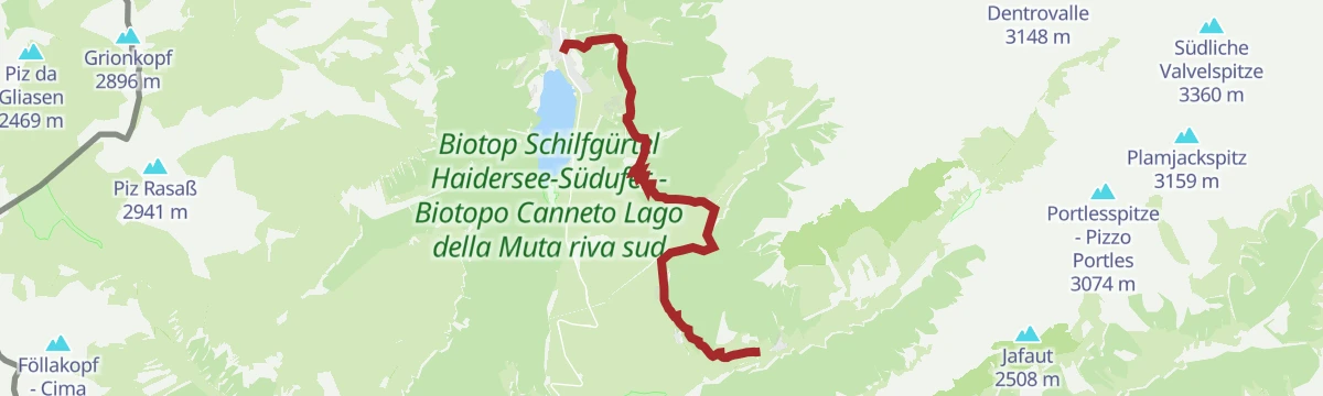
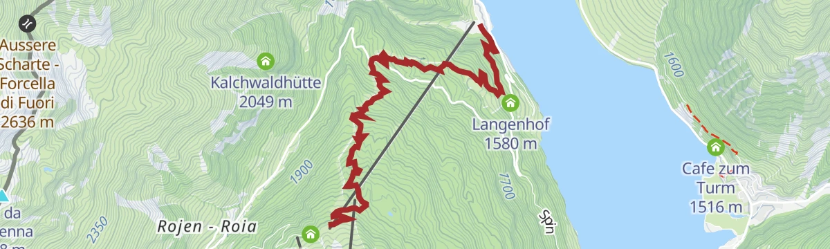
A stage from San Valentino alla Muta up to the Haideralm, then the easy trail 14 by Belpiano and Rojen to Resia and the source of the Adige.
- 17.8 km
- Distance
- 920 m
- Ascent
- 6 h 30 min
- Duration
- 31
- Check-ins
- Haideralm - Malga San Valentino 2 151 m
- Roby Keller 1 479 m
- Schöneben Hütte 2 105 m
- Plandalineira-Seale 2 135 m
- Skihütte Einkehrschwung 2 078 m
- Schönputz 2 192 m
- +1
Open route Sterzing, Pfitsch und FreienfeldSkitour Innerer Nockenkopf
A ski tour from Roja on a cattle path to the last larches, then steeply up the valley to the Mitter-Scharte and the summit slope.
- 7.1 km
- Distance
- 794 m
- Ascent
- 779 m
- Descent
- 2 h 56 min
- Duration
- 1
- Check-ins
Open route Sterzing, Pfitsch und FreienfeldSci alpinismo Cima Valbenair
A ski tour from the Melago road on trail 5 towards the Planeilscharte, then the ridge between the Rotebenkopf and the Valbenair, narrowing near the top.
- 13.7 km
- Distance
- 1 301 m
- Ascent
- 1 288 m
- Descent
- 5 h 4 min
- Duration
- 29
- Check-ins
Open route Sterzing, Pfitsch und FreienfeldMalga San Valentino - Trail
The most demanding of the 3-Länder enduro descents, running under the Haideralm gondola down to the car park at the malga.
- 3.7 km
- Distance
- 0 m
- Ascent
- 37 min
- Duration
- 14
- Check-ins
Open route Sterzing, Pfitsch und FreienfeldAttorno al Lago di Resia
A flat circuit of the Lago di Resia on asphalt and gravel, starting at the well-known bell tower in Curon and rounding the western shore.
- 15.2 km
- Distance
- 22 m
- Ascent
- 1 h 23 min
- Duration
- 18
- Check-ins
- Reschensee History 1 500 m
- Giernhof 1 523 m
- Castelletto sul Lago - Schlössel 1 505 m
- Clubhütte Fischereiverein Oberland 1 503 m
- RAS Sender Graun 1 524 m
- Cafe zum Turm 1 516 m
Open route Sterzing, Pfitsch und FreienfeldCiclabile dell' Adige Via Claudia Augusta - tappa Rablà-Resia
A long stage up the Vinschgau from Rablà to the Resia pass, climbing steadily beside the Adige on the Via Claudia Augusta route.
- 75.7 km
- Distance
- 1 109 m
- Ascent
- 7 h 25 min
- Duration
- 71
- Check-ins
- Roby Keller 1 479 m
- Moser's Speckhäusl 626 m
- Bar Seilbahn 633 m
- Radtreff Fischteich Brugg - Punto d'incontro per ciclisti Laghetto di pesca Brugg 817 m
- Informationsbüro Burgeis 1 228 m
- Zeress 1 454 m
- +8
Open route Sterzing, Pfitsch und Freienfeldsentiero d'avventura Talai
A three-kilometre woodland adventure path at San Valentino with twelve interactive stations and riddles to solve, guided by Zipf and Zapf.
- 3.1 km
- Distance
- 44 m
- Ascent
- 50 min
- Duration
Open route Sterzing, Pfitsch und Freienfeld360° Alta Venosta: Resia - Curon - San Valentino
A stage from the source of the Adige along the Venosta high route, past the drowned church tower of Curon, to San Valentino.
- 11.0 km
- Distance
- 200 m
- Ascent
- 3 h 8 min
- Duration
- 14
- Check-ins
- Roby Keller 1 479 m
- Tourismusbüro St. Valentin 1 480 m
- Clubhütte Fischereiverein Oberland 1 503 m
- Cafe zum Turm 1 516 m
Open route Sterzing, Pfitsch und FreienfeldPalla Bianca
A glacier route from the Pio XII hut above Melago, over the Langtauferer ice to the Weisskugeljoch and on to the Palla Bianca.
- 6.2 km
- Distance
- 1 186 m
- Ascent
- 4 h 31 min
- Duration
- 7
- Check-ins
- Weißkugelhütte - Rifugio Pio XI alla Palla Bianca 2 541 m
 Weißkugeljoch - Forcella di Palla Bianca 3 362 m
Open route Sterzing, Pfitsch und FreienfeldSci alpinismo Mitterlochspitze 3.176 m
A ski tour from the old Maseben chairlift car park in the Vallelunga, up the valley and the north flank to the west ridge of the Mitterlochspitze.
- 8.4 km
- Distance
- 1 253 m
- Ascent
- 381 m
- Descent
- 3 h 53 min
- Duration
- 22
- Check-ins
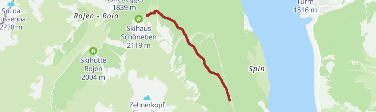
Open route Sterzing, Pfitsch und FreienfeldBelpiano Trail
An enduro descent from the Schöneben top station through thin woodland, with rooty passages and long views down to the Lago di Resia.
- 3.4 km
- Distance
- 0 m
- Ascent
- 34 min
- Duration
- 7
- Check-ins
Open route Sterzing, Pfitsch und FreienfeldCiclabile dell' Adige Via Claudia Augusta
A long stretch of the cycle route that follows the old Roman road along the Adige, running down the valley past Algund and Merano.
- 79.1 km
- Distance
- 1 295 m
- Ascent
- 7 h 49 min
- Duration
- 68
- Check-ins
- Roby Keller 1 479 m
- Moser's Speckhäusl 626 m
- Tourismusbüro Algund 351 m
- Bar Seilbahn 633 m
- Radtreff Fischteich Brugg - Punto d'incontro per ciclisti Laghetto di pesca Brugg 817 m
- Informationsbüro Burgeis 1 228 m
- +9
Open route Sterzing, Pfitsch und Freienfeld360° Alta Venosta: San Valentino alla Muta - Planol
The second stage of the 360° Upper Venosta circuit, from San Valentino alla Muta across to Planol, through small mountain villages.
- 10.6 km
- Distance
- 523 m
- Ascent
- 3 h 40 min
- Duration
- 12
- Check-ins
Open route Sterzing, Pfitsch und FreienfeldAlta Via Val Venosta
A stage of the 108 km Venosta high route, which runs from Stava to the source of the Adige at the Resia pass on old irrigation and farm paths.
- 19.8 km
- Distance
- 659 m
- Ascent
- 6 h 14 min
- Duration
- 2
- Check-ins
Open route Sterzing, Pfitsch und Freienfeldal Piz Lad
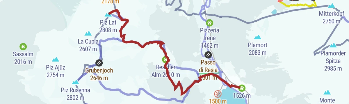
A ski tour from the north end of Resia up past old hay barns to the Sesslad and on to the Piz Lad; the final slope is long and steep.
- 7.9 km
- Distance
- 1 301 m
- Ascent
- 20 m
- Descent
- 3 h 45 min
- Duration
- 19
- Check-ins
Open route Sterzing, Pfitsch und FreienfeldPiz Trail
A long, very gentle descent from the Piz top station at Schöneben, winding through stone-pine woodland with crossings onto neighbouring trails.
- 6.9 km
- Distance
- 0 m
- Ascent
- 49 min
- Duration
- 7
- Check-ins
Open route Sterzing, Pfitsch und Freienfeld360° Alta Venosta: Prämajur - San Valentino alla Muta
The opening stage of the 360° Upper Venosta circuit, from Prämajur across to San Valentino alla Muta, with the Brugger Alm open on the way.
- 11.9 km
- Distance
- 409 m
- Ascent
- 4 h 2 min
- Duration
- 11
- Check-ins
Open route Sterzing, Pfitsch und FreienfeldSci alpinismo Weissseejoch
A ski tour from Melago past a crucifix at 2,090 m and over the Melago stream, following the valley up to the Weissseejoch.
- 10.8 km
- Distance
- 1 036 m
- Ascent
- 1 033 m
- Descent
- 4 h 1 min
- Duration
- 13
- Check-ins
Open route Sterzing, Pfitsch und FreienfeldTrail Alto di Spin
A ridge singletrack running south from the Schöneben hut, the Lago di Resia below through the trees, ending at the Schneider Kreuzung.
- 3.2 km
- Distance
- 0 m
- Ascent
- 22 min
- Duration
- 6
- Check-ins
Open route Sterzing, Pfitsch und FreienfeldAlla malga Brugger
A circular walk to the Brugger dairy in the quiet Zerzertal, where a small church stands beside it.
- 8.2 km
- Distance
- 470 m
- Ascent
- 3 h 18 min
- Duration
- 7
- Check-ins
- Brugger Alm - Malga Brugger 1 941 m
- Fauler See 1 567 m
- St.Martin im Zerzertal - San Martino in Valle di Serres 1 787 m
Open route Sterzing, Pfitsch und Freienfeldski alpinismo alla Cima Undici
A rewarding ski ascent of the Elferspitze, looking out over the Val Venosta and the Resia pass.
- 7.6 km
- Distance
- 963 m
- Ascent
- 962 m
- Descent
- 3 h 27 min
- Duration
- 10
- Check-ins
Open route Sterzing, Pfitsch und FreienfeldGiern Trail
A short, easy link off the lower Belpiano descent, running out to the Giernhof farm and the cycle path towards San Valentino.
- 877 m
- Distance
- 0 m
- Ascent
- 8 min
- Duration
- 5
- Check-ins
Open route Sterzing, Pfitsch und FreienfeldScialpinismo Mittereck in Vallelunga
A north-facing ski tour from Kapron in the Vallelunga by the Ochsenberg dairy and up the valley; the narrows carry a serious avalanche risk.
- 11.3 km
- Distance
- 1 505 m
- Ascent
- 293 m
- Descent
- 4 h 44 min
- Duration
- 6
- Check-ins
 Habicherkopf 2 903 m
- Mittereggspitze 2 909 m
- Zwischenegg 2 829 m
- Angerlekopf - Monte Angerli 2 817 m
- Seeberkopf 2 814 m
- Monte Cavallo 2 624 m
- +3
Open route Sterzing, Pfitsch und FreienfeldAdige trail
An easy, flowing singletrack above Resia, carrying on from the Bunker Trail down to the village and the Lago di Resia.
- 1.6 km
- Distance
- 0 m
- Ascent
- 14 min
- Duration
Open route Sterzing, Pfitsch und Freienfeldski alpinismo al Dosso di Fuori
A ski tour from the Pofel chairlift at Resia, the highest village of the Eastern Alps, up to the Äusserer Nockenkopf; care needed on the final slope.
- 6.7 km
- Distance
- 1 229 m
- Ascent
- 11 m
- Descent
- 3 h 27 min
- Duration
- 5
- Check-ins
Open route Sterzing, Pfitsch und FreienfeldGorf Trail
A brief connecting descent from above Spin at the end of the lower Spin Trail down to the cycle path along the Lago di Resia.
- 1.3 km
- Distance
- 20 m
- Ascent
- 11 min
- Duration
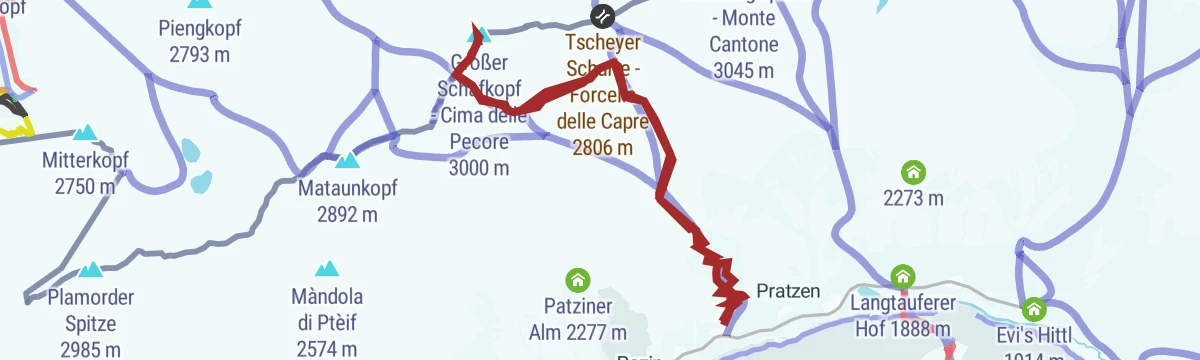
Open route Sterzing, Pfitsch und FreienfeldSkitour Großer Schafkopf
A ski tour up an old military road to the treeline, then across flat pasture to the Wölfelesjoch and the long south ridge of the Großer Schafkopf.
- 12.0 km
- Distance
- 1 132 m
- Ascent
- 1 120 m
- Descent
- 4 h 25 min
- Duration
- 2
- Check-ins
- Großer Schafkopf - Cima delle Pecore 3 000 m
- Wölflescharte 2 842 m
- Gschweller See 2 657 m
Open route Sterzing, Pfitsch und FreienfeldGrein Trail
A singletrack link starting above Spin and following the crest south towards San Valentino and the Haideralm cable car.
- 1.5 km
- Distance
- 0 m
- Ascent
- 11 min
- Duration
Open route Sterzing, Pfitsch und Freienfeldai Grionplotten - ski alpinismo es escursionismo
A ski tour from the end of the Roja road up the Griontal to the Grionkopf, easy technically but needing a sensible choice of line.
- 6.8 km
- Distance
- 971 m
- Ascent
- 43 m
- Descent
- 2 h 55 min
- Duration
- 2
- Check-ins
Open route Sterzing, Pfitsch und FreienfeldPlattweg Trail
A quiet singletrack heading north with deep views over the Lago di Resia, meeting the lower Spin Trail at the Schneider Kreuzung.
- 2.3 km
- Distance
- 21 m
- Ascent
- 16 min
- Duration
Open route Sterzing, Pfitsch und FreienfeldSci alpinismo Glockhauser
A ski tour from the Melago car park past a disused chairlift pylon, across a steep slope and up the Schönkar towards the Glockhauser.
- 4.8 km
- Distance
- 1 013 m
- Ascent
- 0 m
- Descent
- 2 h 45 min
- Duration
Open route Sterzing, Pfitsch und Freienfeld
No routes of this kind in Curon Venosta/Graun im Vinschgau yet.
The region's own picks

Featured route
Escursione delle leggende
A circuit of the Resia lake with the drowned church tower in view, told through the valley's legends.
Planning a trip to Curon Venosta/Graun im Vinschgau?
Everything else Trentino-Alto Adige/Südtirol has, in one place


Take Curon Venosta/Graun im Vinschgau with you into the mountains
Every route on this page with 3D terrain, GPX navigation and offline maps — including the valleys with no signal.
Data sources
- Official website: italia.it ↗
- Routes and highlights: Sterzing, Pfitsch und Freienfeld
- Published as open data by the tourist boards named above.
- Region summary generated from the board's own material.
