








Curated by Sterzing, Pfitsch und Freienfeld
Comelico Superiore
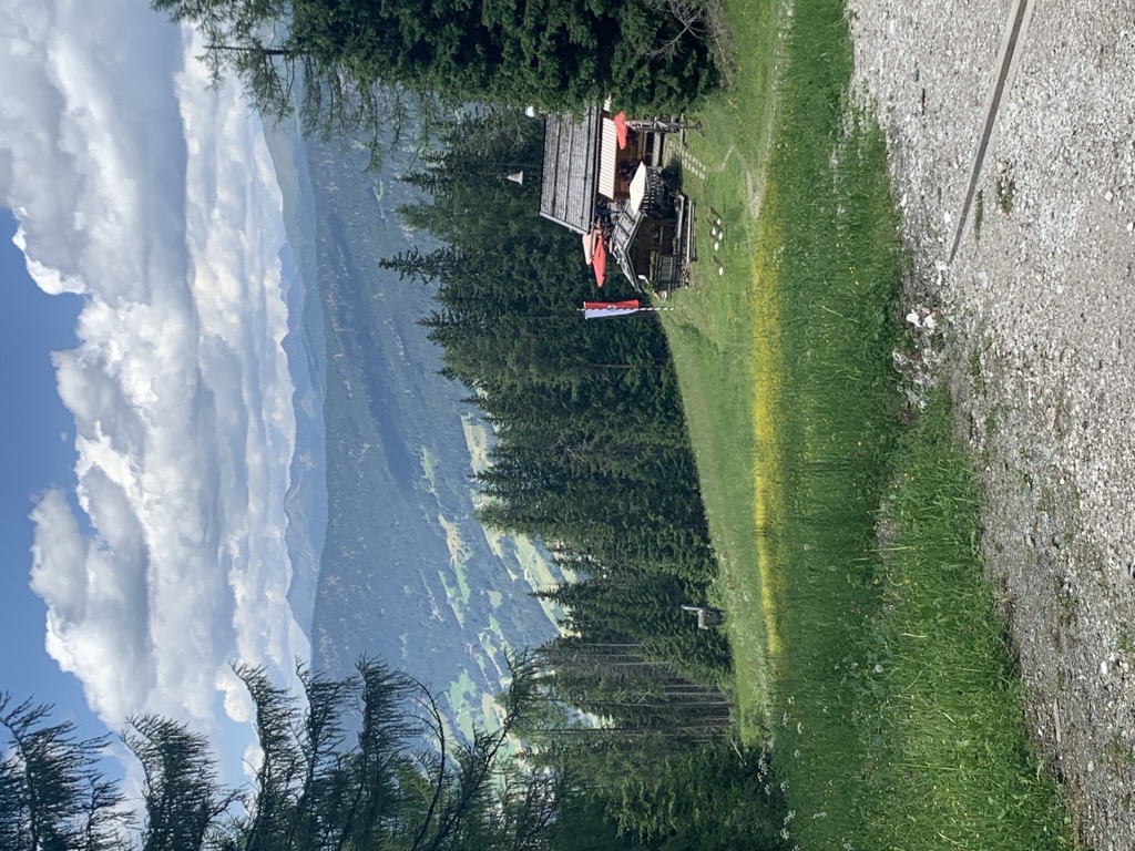
Villages on the sunny terraces of the upper Comelico, between the Col Quaternà and the Sesto Dolomites.
Photo: Tiia Monto · CC BY-SA 3.0 licence
- 1Highlights
- 15Routes
- Featured summit · Arzalpenkopf - Croda Sora i Colesei
Highlights
4 from neighbouring places
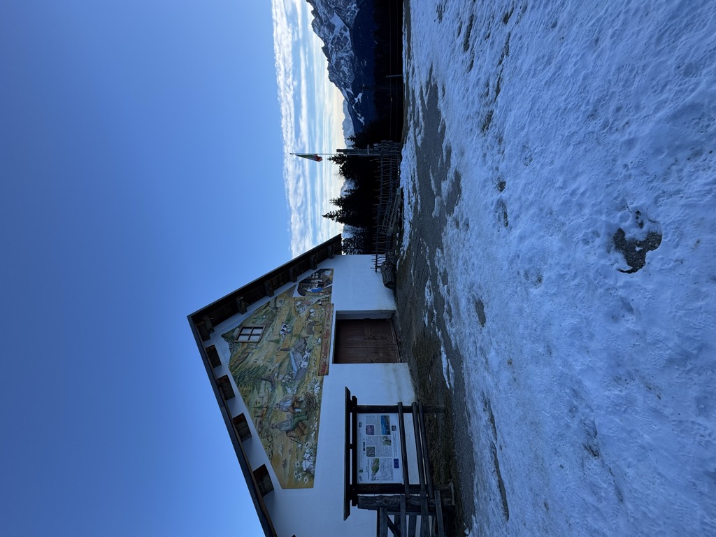
Azienda Agriturismo Coltrondo
A working dairy farm on the Coltrondo pastures above Padola, in the Comelico near the Passo Monte Croce, serving what it makes.
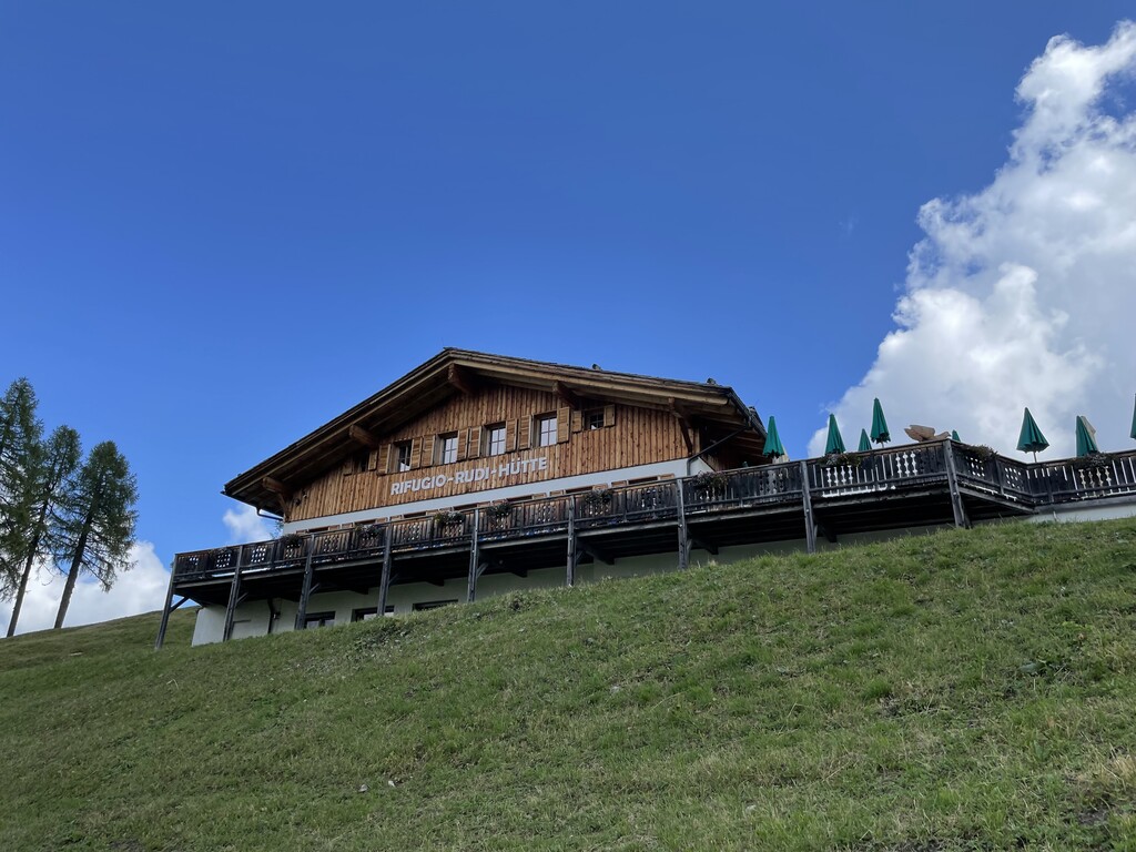
Rifugio Rudi
8.9 km away, in Sesto/Sexten
A hut at 1,917 m above Sesto reached by gondola or on foot, beside the Croda Rossa cabin lift and the top of the toboggan run.
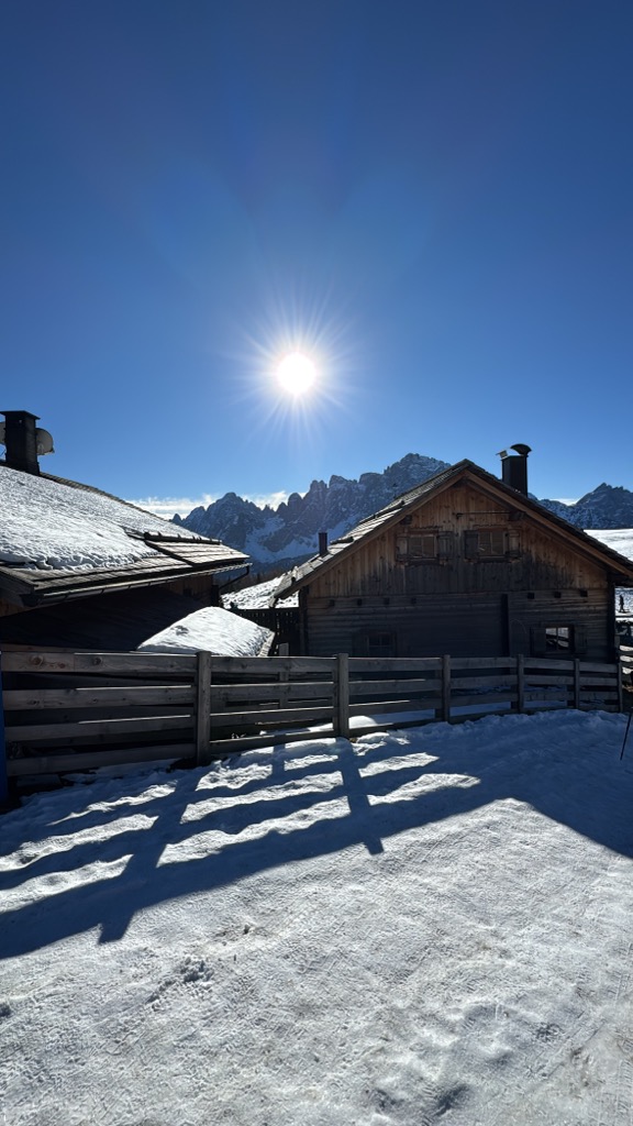
Malga Klammbach
9.1 km away, in Sesto/Sexten
A pasture hut at 1,944 m on the Klammbach slopes above Sesto, reached on the walk up from Moso and cooking the typical Tyrolean fare of the Pusteria.
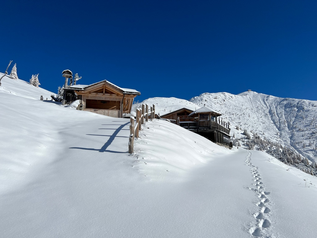
Sterzing, Pfitsch und FreienfeldRifugio Gallo Cedrone
12.8 km away, in Sesto/Sexten
A hut at 2,155 m at the foot of the Monte Elmo above Sesto, the Pusteria village facing the Sesto Dolomites.
Baita del cacciatore
13.8 km away, in Sesto/Sexten
A hut at 1,821 m above Sesto in the Pusteria, an easy outing for families of any age, reached from the Helmjet top station or on the meditation path.
Nothing of this kind in Comelico Superiore.
Routes
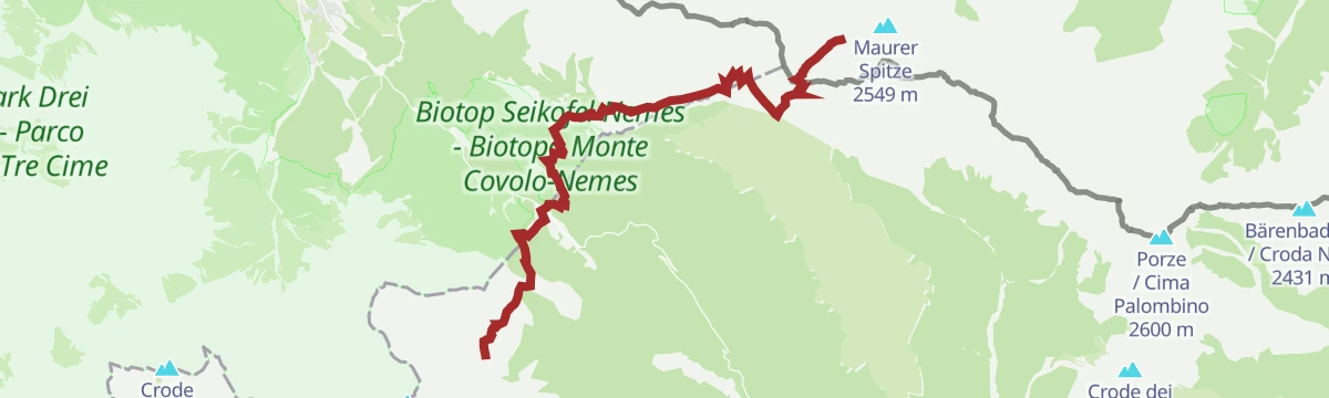
Dolomiti senza confini – Rif. Berti - RIF. Obstanserseehütte
A stage of the Dolomiti senza Confini, the chain of equipped routes along the Italian-Austrian border, from the Berti hut to the Obstanserseehütte past wartime trenches.
- 16.3 km
- Distance
- 1 151 m
- Ascent
- 8 h 60 min
- Duration
- 206
- Check-ins
 Kreuzbergpass - Passo Monte Croce di Comelico 1 636 m
 Nemes Alm - Rifugio Malga Nemes 1 935 m
- Rifugio Antonio Berti 1 950 m
- Hotel Kreuzbergpass Restaurant 1 647 m
- Forcella Pian della Biscia 1 932 m
- Passo Silvella 2 329 m
- +2
Open route Sterzing, Pfitsch und FreienfeldDolomiti senza confini - Prati di Croda Rossa - Rif. Berti
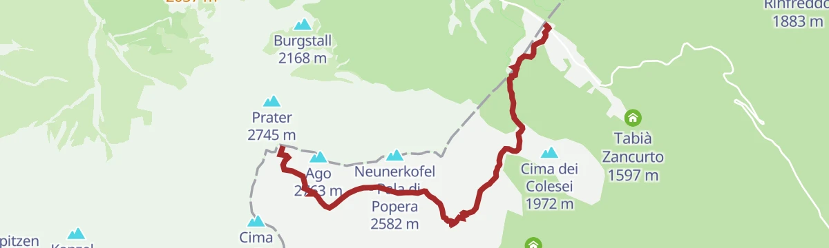
A steep stage of the Dolomiti senza Confini over the Croda Rossa di Sesto to the Berti hut, on wartime paths and cables.
- 7.7 km
- Distance
- 1 212 m
- Ascent
- 8 h 30 min
- Duration
- 163
- Check-ins
 Sextener Rotwand Gipfelkreuz 2 936 m
- Wurzbach 2 675 m
- Trapezio 2 926 m
- Prater 2 745 m
- Ventaglio 2 926 m
- Torre Pellegrini 2 797 m
- +9
Open route Sterzing, Pfitsch und FreienfeldVia ferrata: Zandonella
A hard, exposed start of ladders and fixed rope from the Berti hut to the top of the Croda Rossa di Sesto, with an easier descent through the Circo Est.
- 6.1 km
- Distance
- 1 410 m
- Ascent
- 6 h 31 min
- Duration
- 124
- Check-ins
- Ventaglio 2 926 m
- Croda Rossa di Sesto 2 965 m
- Torre Trento 2 884 m
- Torrioni 2 897 m
- Piramide 2 897 m
- Croda Rossa di Sesto - Sextener Rotwand 2 965 m
- +6
Open route Sterzing, Pfitsch und FreienfeldVia ferrata: Croda Rossa
A well-protected route from the Prati di Croda Rossa along the Costoni to the summit of the Croda Rossa di Sesto, returning by the Castelliere.
- 10.3 km
- Distance
- 1 591 m
- Ascent
- 9 h 3 min
- Duration
- 89
- Check-ins
- Croda Rossa di Sesto 2 965 m
- Torrioni 2 897 m
- Piramide 2 897 m
- Croda Rossa di Sesto - Sextener Rotwand 2 965 m
- Rudi-Hütte - Rifugio Rudi 1 917 m
- Forcella Pian della Biscia 1 932 m
- +3
Open route Sterzing, Pfitsch und FreienfeldDolomiti senza confini - Rifugio Lunelli – Rifugio Berti/Rifugio Carducci
A stage of the Dolomiti senza Confini between the Lunelli hut and the Berti and Carducci huts, on equipped ground in the Popera group with a heavy war history.
- 7.2 km
- Distance
- 1 867 m
- Ascent
- 10 h 44 min
- Duration
- 71
- Check-ins
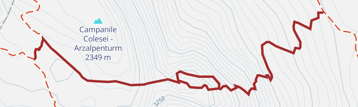
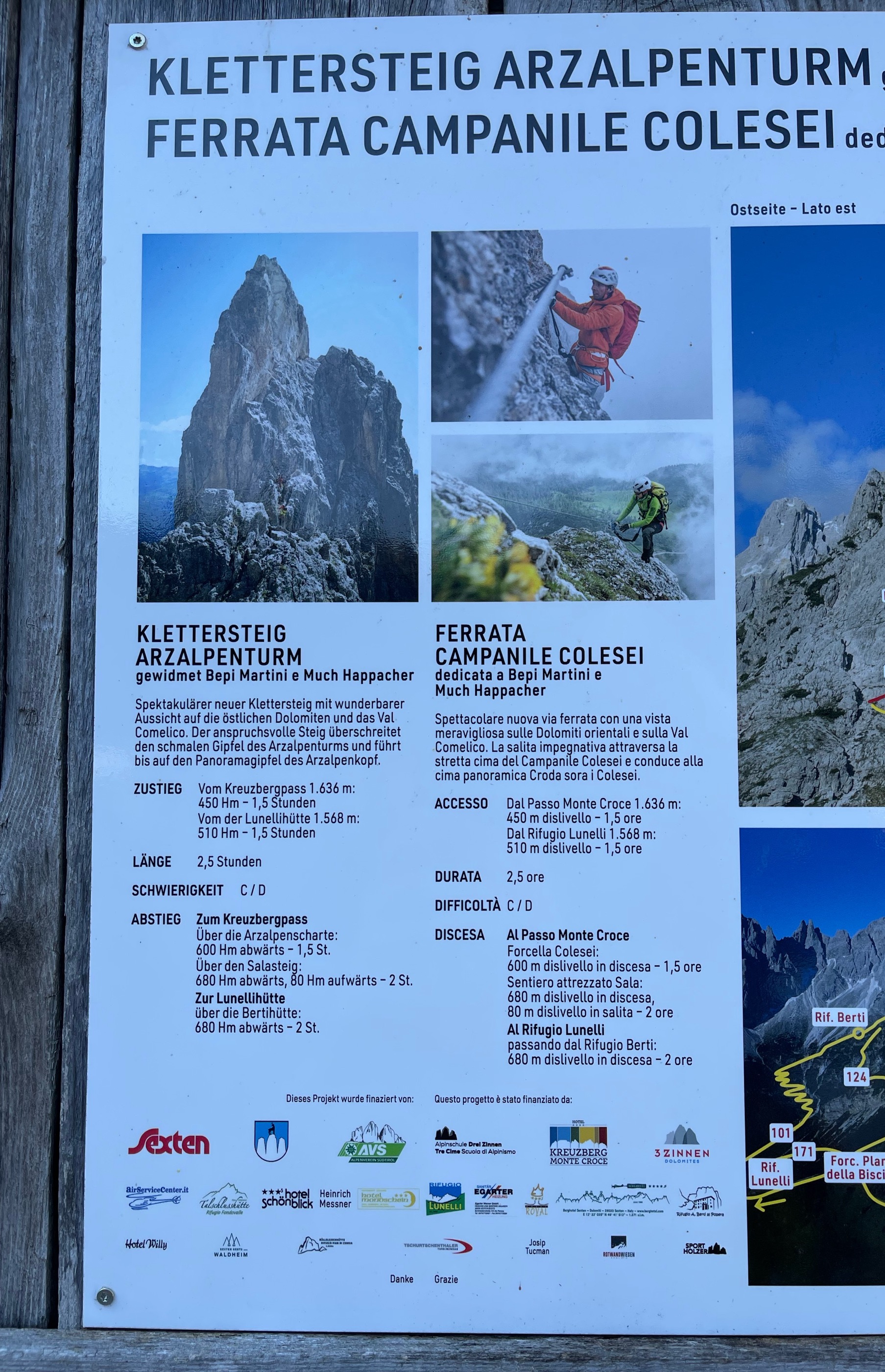
Open route Sterzing, Pfitsch und FreienfeldVia ferrata: Arzalpenturm
An equipped climb from the Passo Monte Croce by the Forcella Plan della Biscia and an old military road to the Campanile Colesei.
- 7.0 km
- Distance
- 800 m
- Ascent
- 6 h 3 min
- Duration
- 33
- Check-ins
- Arzalpenkopf - Croda Sora i Colesei 2 369 m
- Campanile Colesei - Arzalpenturm 2 349 m
- Forcella Pian della Biscia 1 932 m
- Forcella Popera 2 291 m
Open route Sterzing, Pfitsch und FreienfeldMartini Ferrata at the Bell Tower of Colesei
The Bepi Martini via ferrata up the Campanile di Colesei, a rock tower over the Comelico valley, approached through pasture and scree under the Popera walls.
- 978 m
- Distance
- 416 m
- Ascent
- 1 h 57 min
- Duration
- 1
- Check-ins
Open route Dolomiti Bellunesi - The Mountains of VeniceTroi di mistieri - Val Comelico
A short trail in the Comelico lined with carvings of the trades the valley once lived by.
- 1.2 km
- Distance
- 67 m
- Ascent
- 33 min
- Duration
- 1
- Check-ins
Open route Consorzio Turistico Val Comelico03_Colesei_Passo_M_Croce: Val Comelico
A crossing above the Comelico valley past Alpine Wall bunkers and gun emplacements near Forcella Pian della Biscia, on ground held by soldiers in the Great War.
- 8.7 km
- Distance
- 689 m
- Ascent
- 4 h 28 min
- Duration
- 77
- Check-ins
- Cima dei Colesei 1 972 m
- Rifugio Antonio Berti 1 950 m
- Rifugio Italo Lunelli 1 568 m
- Forcella Pian della Biscia 1 932 m
Open route Consorzio Turistico Val ComelicoMTB-Tour Alp Tour Classic (004)
Probably the best-liked bike tour at Sesto, on wide forest tracks over the sunny side by the Klammbach and Coltrondo dairies.
- 29.8 km
- Distance
- 900 m
- Ascent
- 3 h 29 min
- Duration
- 134
- Check-ins
- Klammbachalm - Malga Klammbach 1 944 m
- Hennstoll - Pollaio 1 449 m
- Malga Coltrondo 1 878 m
- Zin Fux 1 445 m
- STONEMAN - Spirit Info Point 1 314 m
- Kristallbad 1 524 m
- +1
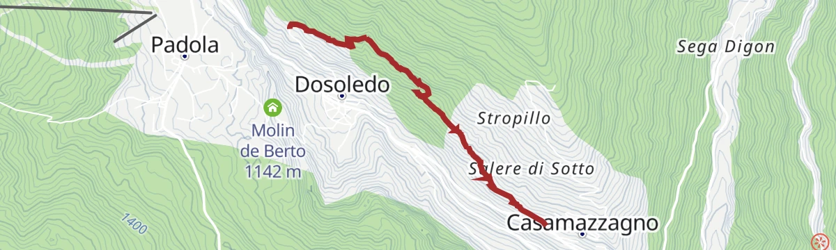
Open route 3 Zinnen DolomitenTroi di Bacani - Val Comelico
A path between Casamazzagno and Dosoledo through the hay meadows, barns and haylofts that fed farming life in the Comelico for close to a thousand years.
- 2.9 km
- Distance
- 118 m
- Ascent
- 59 min
- Duration
Open route Consorzio Turistico Val Comelico01_M.te_Quaternà: Val Comelico
A loop from the Rinfreddo pasture around Col Quaterna, a dark pyramidal peak on an extinct volcanic vent at the edge of the Dolomites, fought over in the Great War.
- 11.3 km
- Distance
- 633 m
- Ascent
- 4 h 30 min
- Duration
- 44
- Check-ins
Open route Consorzio Turistico Val ComelicoTroi dli mascri - Val Comelico
A short walk from Dosoledo up to the Bigaran barn, lined with some twenty larch carvings on the theme of the local Carnival.
- 1.6 km
- Distance
- 158 m
- Ascent
- 41 min
- Duration
Open route Consorzio Turistico Val Comelico05– To the sulfurous waters: Val Comelico
A walk to the Aga Puza spring, the sulphurous water rich in iron and magnesium that once fed the now closed Valgrande baths in the Comelico.
- 9.0 km
- Distance
- 189 m
- Ascent
- 2 h 34 min
- Duration
- 8
- Check-ins
Open route Consorzio Turistico Val ComelicoTroi dli tradizion - Val Comelico
A path from Candide to Dosoledo with larch carvings on local traditions: the Regola, the mid-Lent bonfire, the conscripts' cart and the processions.
- 2.3 km
- Distance
- 56 m
- Ascent
- 42 min
- Duration
Open route Consorzio Turistico Val Comelico
No routes of this kind in Comelico Superiore yet.
The region's own picks

Featured route
Troi di mistieri - Val Comelico
A short trail in the Comelico lined with carvings of the trades the valley once lived by.
Planning a trip to Comelico Superiore?
Everything else Veneto has, in one place


Take Comelico Superiore with you into the mountains
Every route on this page with 3D terrain, GPX navigation and offline maps — including the valleys with no signal.
Data sources
- Official website: dolomitivalcomelico.it ↗
- Routes and highlights: Sterzing, Pfitsch und Freienfeld, Consorzio Turistico Val Comelico, Dolomiti, Dolomiti Bellunesi - The Mountains of Venice, 3 Zinnen Dolomiten
- Published as open data by the tourist boards named above.
- Region summary generated from the board's own material.
