
 Historic site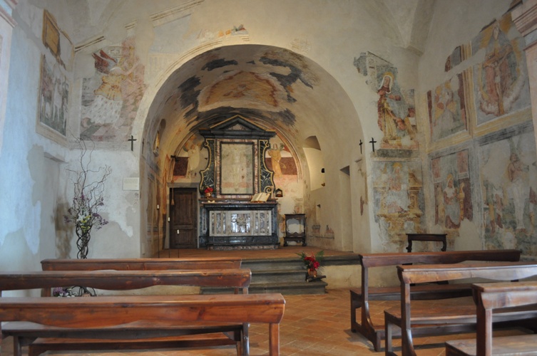






Curated by Val Seriana
Clusone
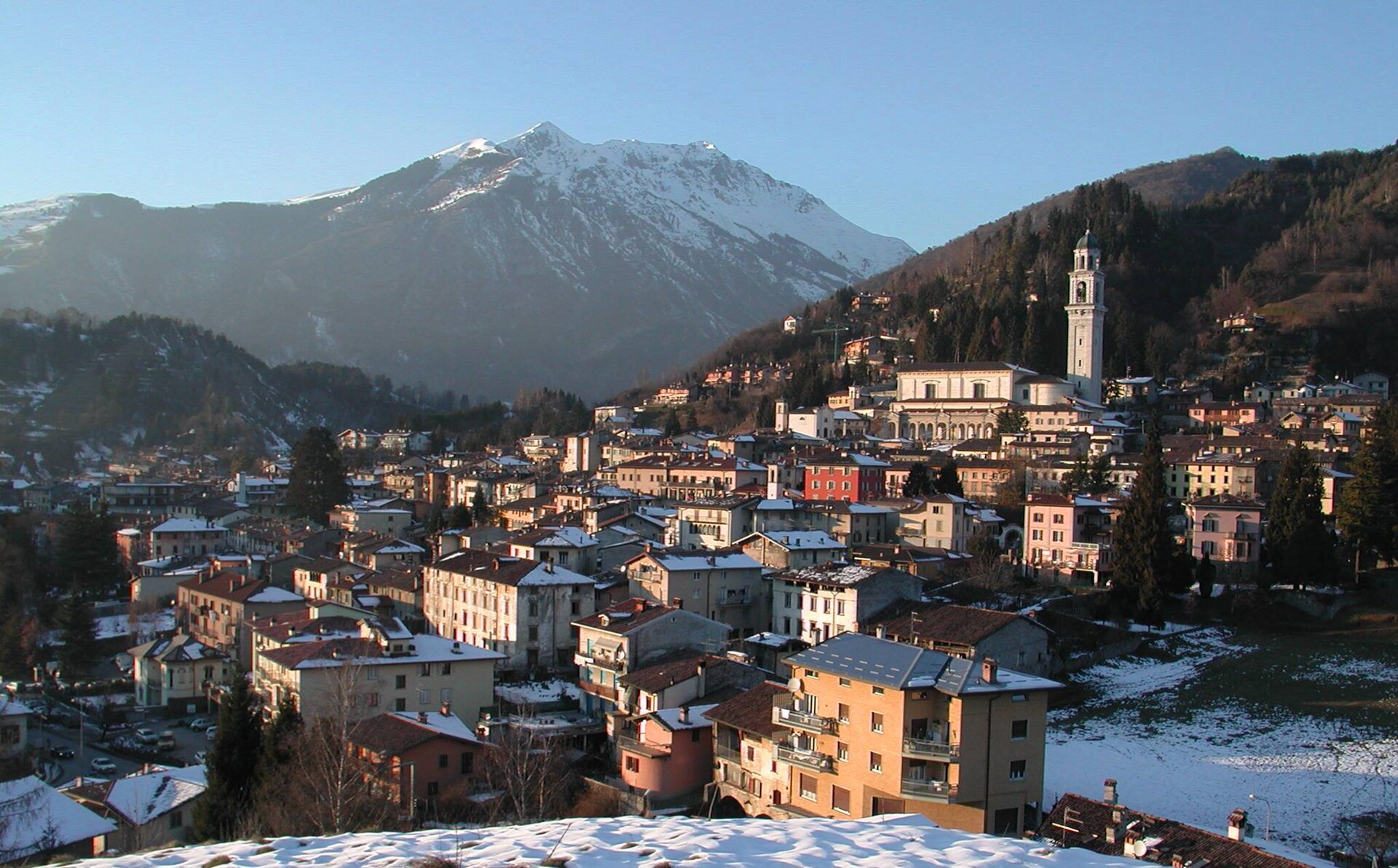
Upper Seriana town known for its astronomical clock and the frescoed Dance of Death on the oratory wall.
- 8Highlights
- 17Routes
- Featured summit · Monte Farno
Highlights
7 from neighbouring places
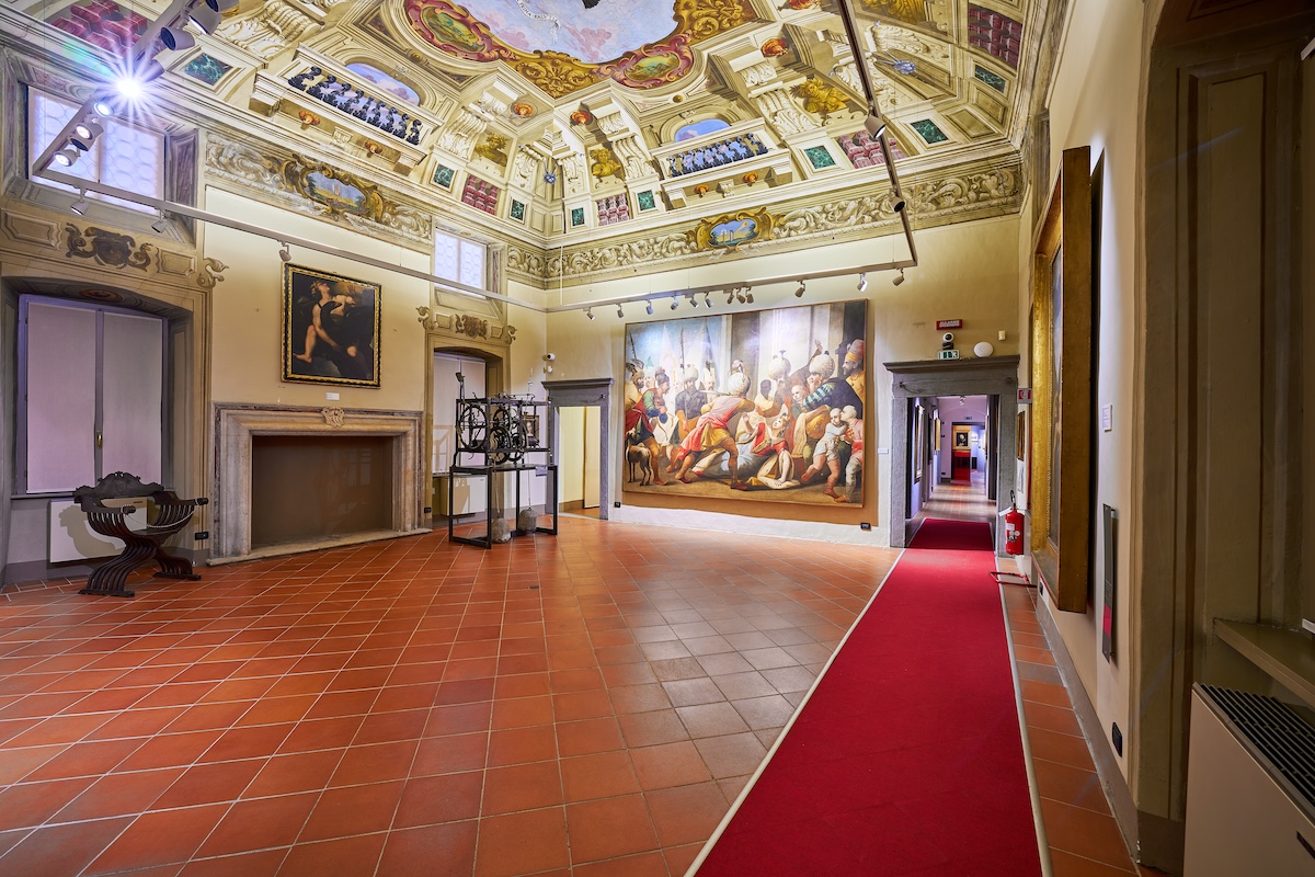
Museo Casa dell’Orfano Mons. Antonietti
A museum in the former orphanage above Clusone, on the priest who founded it and the children it took in.
Museo della Basilica di Clusone
Vestments, silver and paintings belonging to Clusone's basilica, shown beside it.
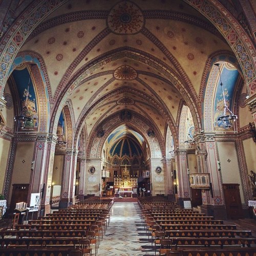
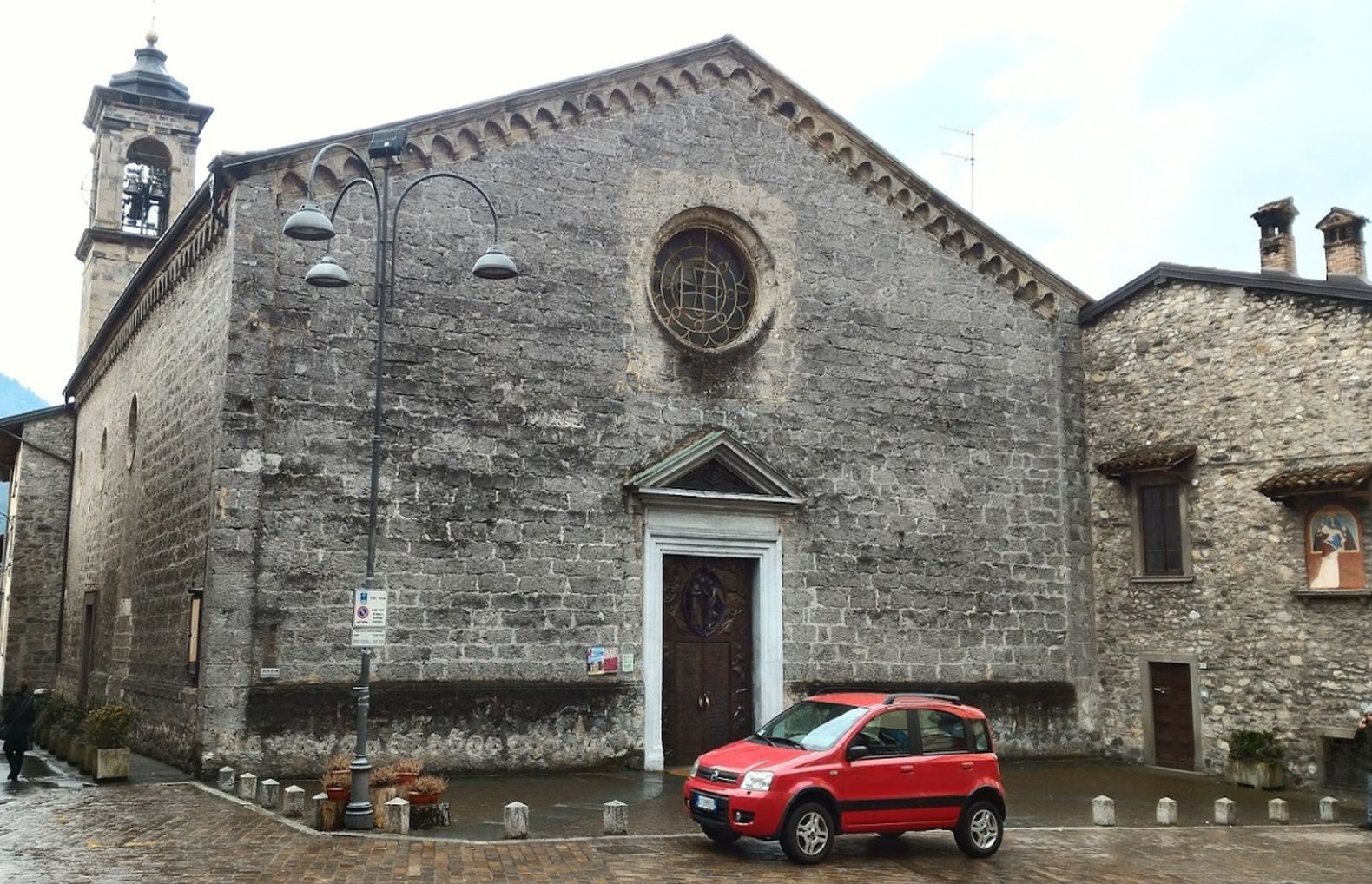
Basilica di Santa Maria Assunta e San Giovanni Battista
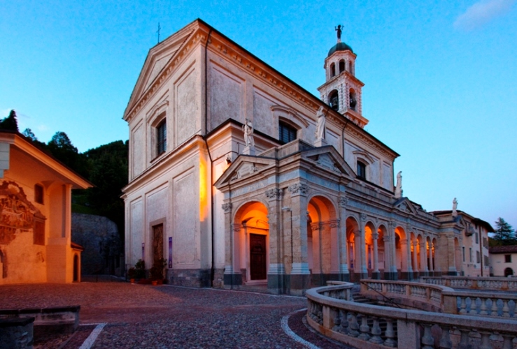
Clusone's basilica, whose oratory wall carries the Triumph of Death and Dance of Death frescoes of 1485.
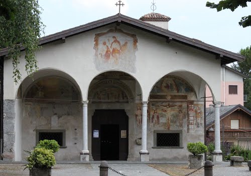
Chiesa della Beata Vergine del Paradiso
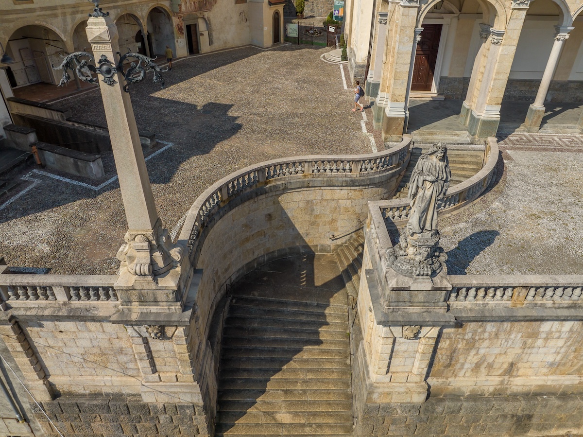
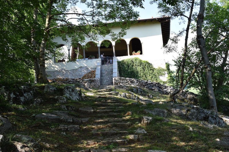
A Marian church above Clusone, on the terrace looking down the Val Seriana.
Chiesa di San Defendente
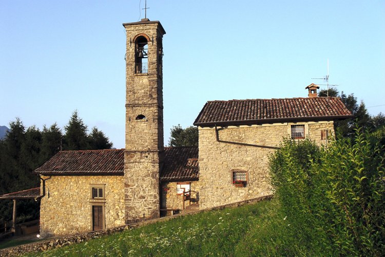
A small church on the slope east of Clusone, on the old track to the Val Borlezza.
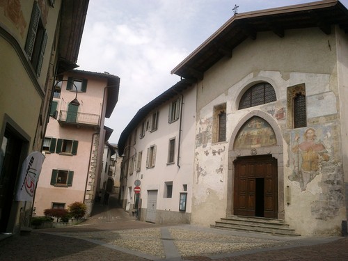
Chiesa di Sant’Anna
A chapel in the old centre of Clusone, a short walk from the basilica.
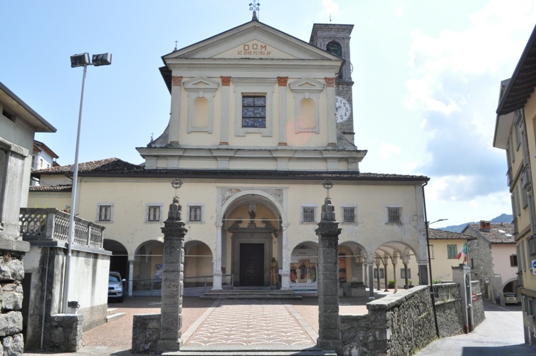
Chiesa Parrocchiale di San Pietro
3.7 km away, in Parre
Parre's parish church, on the terrace above the Serio.
Santuario della Santissima Trinità
3.8 km away, in Parre
A pilgrimage church above Parre, looking down the Val Seriana.
Oppidum Parra degli Orobi
3.8 km away, in Parre
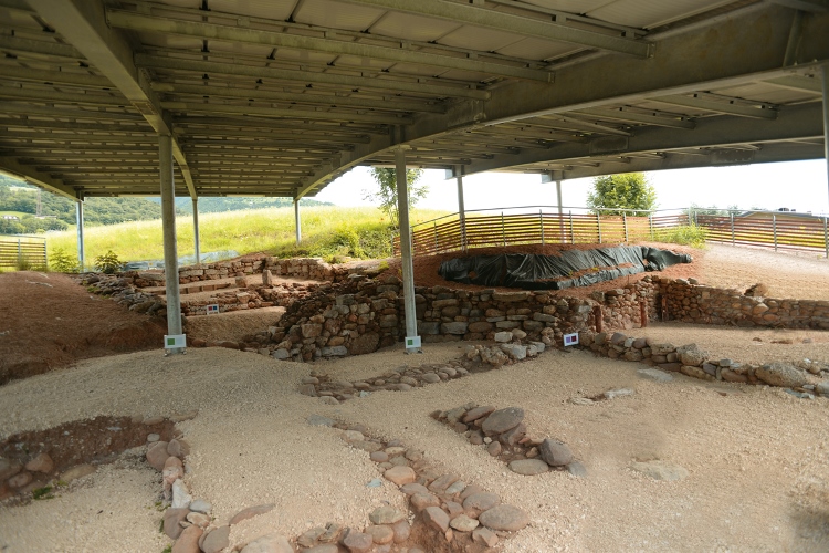
The excavated hill settlement of Parra, an Orobian town on the terrace above the Serio.
Chiesa dei Disciplini
4 km away, in Rovetta
The church of the Disciplini confraternity in Rovetta, in the upper Val Seriana below the Presolana.
Nothing of this kind in Clusone.
Routes
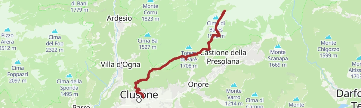
Dal Pianone al Rifugio Parafulmine
A north-facing route from Pianone to the Parafulmine hut below Monte Farno, walkable in snow but little travelled, so the first party has to break trail.
- 10.9 km
- Distance
- 472 m
- Ascent
- 3 h 43 min
- Duration
- 210
- Check-ins
Variante Rosso: l’anima selvaggia della Presolana
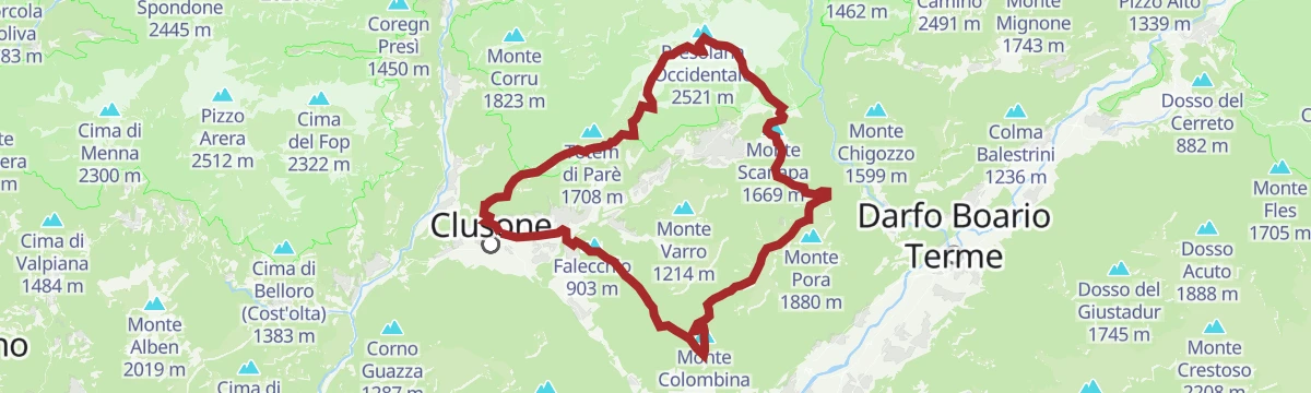
The red variant of the Presolana trek, a 54 km circuit over three days with technical sections, taking in Monte Colombina, Corna Cava and Monte Torrione.
- 53.2 km
- Distance
- 3 245 m
- Ascent
- 22 h 24 min
- Duration
- 425
- Check-ins
Altopiano Tour
A short circuit of the Clusone plateau, ridden or walked, through its fields and old lanes.
- 17.8 km
- Distance
- 212 m
- Ascent
- 1 h 47 min
- Duration
- 10
- Check-ins
Cycle path of river Serio
A long ride beside the Serio, on the cycleway that runs from the lower valley up through Clusone towards Valbondione.
- 53.9 km
- Distance
- 716 m
- Ascent
- 5 h 25 min
- Duration
- 51
- Check-ins
Dal Rifugio Olmo a Clusone Il ritorno tra natura, borghi e storia
The closing stage of the green route, descending from the Rino Olmo hut over Monte Polenta through pasture and woods to Clusone.
- 14.9 km
- Distance
- 359 m
- Ascent
- 5 h 48 min
- Duration
- 95
- Check-ins
Il Percorso Verde tra natura e storia La Presolana ti aspetta!
The green line of the Presolana trek: 60 km in five stages through villages, woods and pasture, with the Orobie ridges in view throughout.
- 58.5 km
- Distance
- 3 256 m
- Ascent
- 23 h 4 min
- Duration
- 418
- Check-ins
Ciclabile dell'Alta Val Seriana
A valley cycle path through the upper Val Seriana, following the floor of the valley from Clusone as far as Valbondione at 869 m.
- 24.3 km
- Distance
- 565 m
- Ascent
- 2 h 34 min
- Duration
- 51
- Check-ins
In Val Seriana al Rifugio San Lucio
A short climb from the Clusone plateau to the San Lucio hut, set on the north ridge of Pizzo Formico above the Seriana valley.
- 4.4 km
- Distance
- 442 m
- Ascent
- 1 h 55 min
- Duration
- 37
- Check-ins
Out: tappa numero 1
The opening leg of the Orobie Ultra Trail, running from Clusone up to the Albani hut under the walls of the Presolana.
- 19.3 km
- Distance
- 2 229 m
- Ascent
- 10 h 58 min
- Duration
- 136
- Check-ins
Ciclabile della Val Seriana
A greenway following the Serio valley from Ranica just outside Bergamo up to Clusone, level and traffic-free for some 30 km.
- 31.1 km
- Distance
- 368 m
- Ascent
- 2 h 60 min
- Duration
- 10
- Check-ins
Da Clusone a Bossico Un inizio che profuma di avventura
The first stage of the green route, from Clusone to Bossico through beech wood and pasture, with Lake Iseo in sight and nothing hard underfoot.
- 13.7 km
- Distance
- 541 m
- Ascent
- 4 h 19 min
- Duration
- 9
- Check-ins
 Pozza d'Ast 1 027 m
Da Clusone al Rifugio Magnolini Il battito della città e il richiamo della montagna
The first stage of the red route, from Clusone over Monte Colombina and the Camasone ridge to the Magnolini hut, with Lake Iseo below.
- 17.7 km
- Distance
- 1 355 m
- Ascent
- 6 h 58 min
- Duration
- 106
- Check-ins
Tour dell'Altopiano di Clusone
A circuit of the Clusone plateau, leaving the cycle path for the old pastoral road above the town.
- 30.1 km
- Distance
- 849 m
- Ascent
- 3 h 28 min
- Duration
- 9
- Check-ins
Dal Rifugio Olmo a Clusone Il ritorno tra creste, boschi e borghi storici
The third stage of the red route, dropping from the Rino Olmo hut across pastures and over Monte Polenta to the old town of Clusone.
- 15.0 km
- Distance
- 347 m
- Ascent
- 5 h 45 min
- Duration
- 95
- Check-ins
Tour al Rifugio Vaccaro
A long, demanding round from Ponte Nossa to the Rifugio Vaccaro on the hills of the middle Val Seriana.
- 24.2 km
- Distance
- 1 190 m
- Ascent
- 8 h 45 min
- Duration
- 69
- Check-ins
Vaccaro Tour
A long circuit from Ponte Nossa in the Val Seriana, climbing the slopes towards the Vaccaro pastures and back.
- 23.2 km
- Distance
- 1 282 m
- Ascent
- 9 h 6 min
- Duration
- 63
- Check-ins
Da Clusone a Selvino lungo la Val Seriana
A long low-level route down the Seriana valley from Clusone to Selvino, on the Bergamo side of the Orobie.
- 27.7 km
- Distance
- 647 m
- Ascent
- 7 h 45 min
- Duration
- 19
- Check-ins
No routes of this kind in Clusone yet.
The region's own picks

Featured route
Dal Pianone al Rifugio Parafulmine
A north-facing route from Pianone to the Parafulmine hut below Monte Farno, walkable in snow but little travelled, so the first party has to break trail.
Planning a trip to Clusone?
Everything else Lombardy has, in one place


Take Clusone with you into the mountains
Every route on this page with 3D terrain, GPX navigation and offline maps — including the valleys with no signal.
Data sources
- Official website: valseriana.eu ↗
- Routes and highlights: Val Seriana, in Lombardia, Trekkingpresolana, Visitbergamo
- Published as open data by the tourist boards named above.
- Region summary generated from the board's own material.
