





Curated by APT Val di Non
Cles
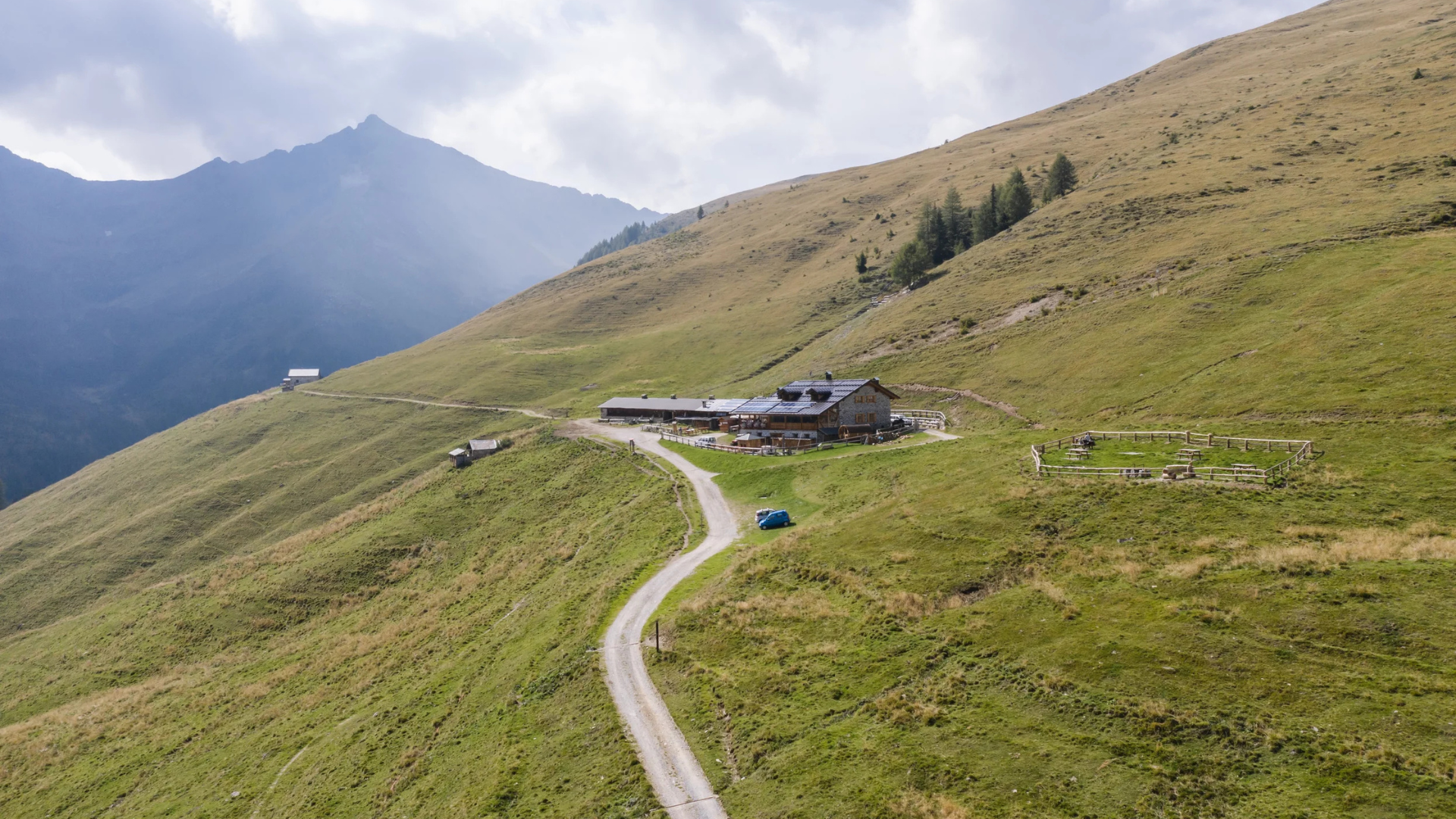
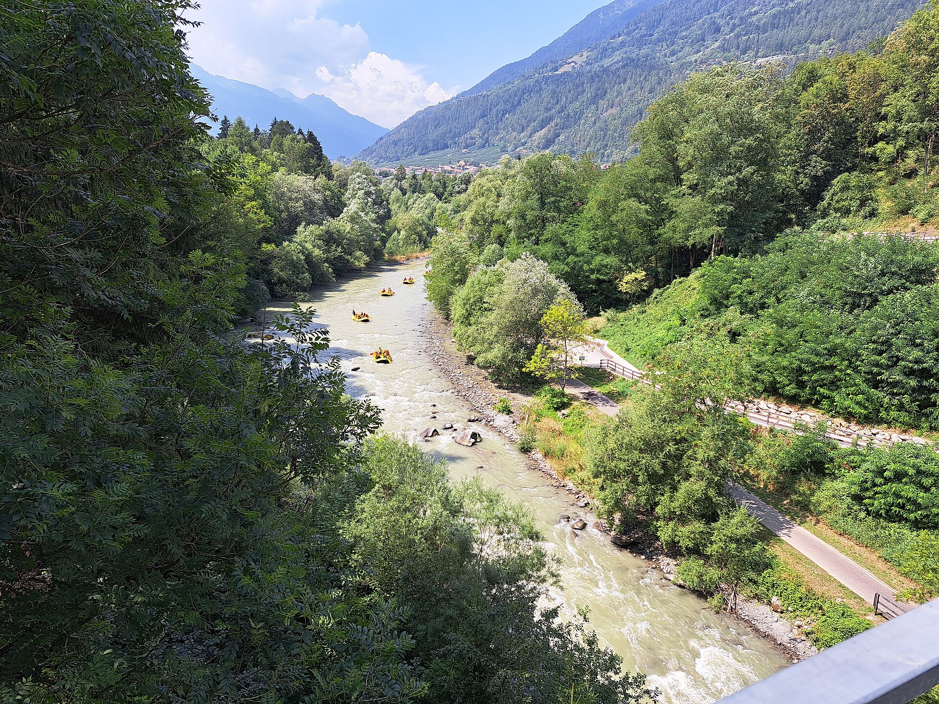
Capital of the Val di Non on the Santa Giustina reservoir, with the Clesiana castle above the apple terraces.
Photo: Bultro · CC BY-SA 4.0 licence
- 10Highlights
- 31Routes
- Featured summit · Monte Peller
Highlights
All 10 from neighbouring places
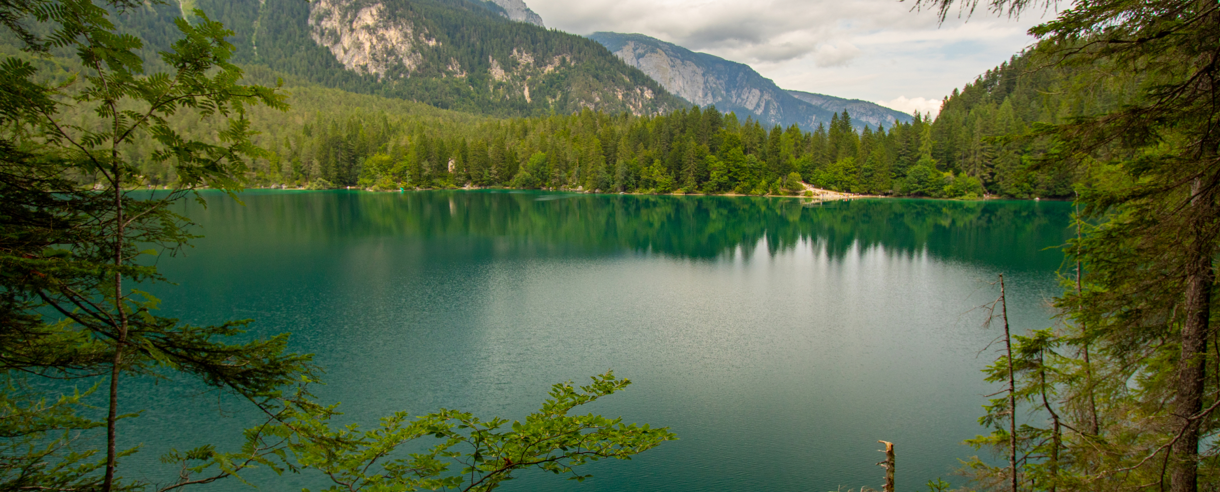
Lago di Tovel
8.2 km away, in Ville d'Anaunia
A lake at 1,178 m below the Brenta Dolomites, once famous for the red algal bloom that coloured its water.
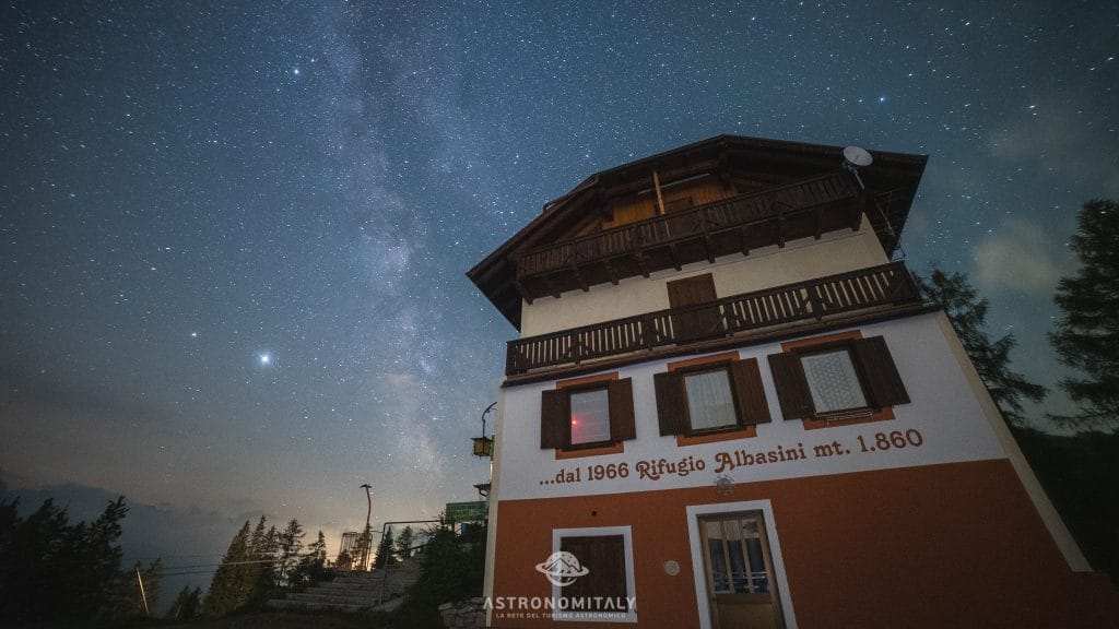
Rifugio Albasini
8.9 km away, in Dimaro Folgarida
A hut above Folgarida in the Val di Sole, certified as a dark-sky site for star watching.
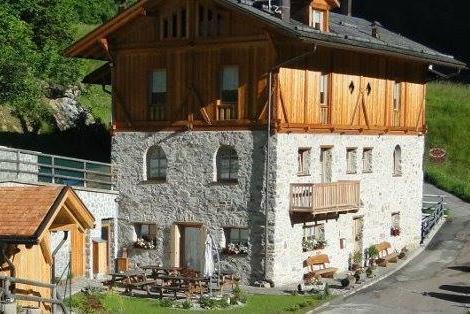
Chalet Val di Rabbi
7.5 km away, in Rabbi
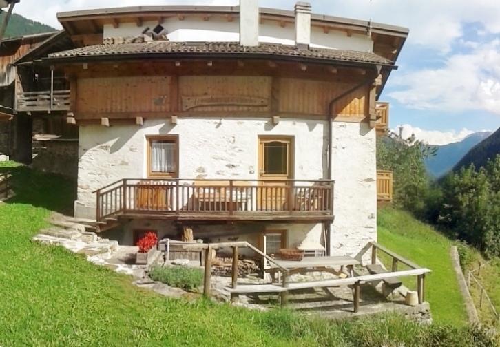
An eighteenth-century farmhouse in Rabbi, converted for walkers and skiers.
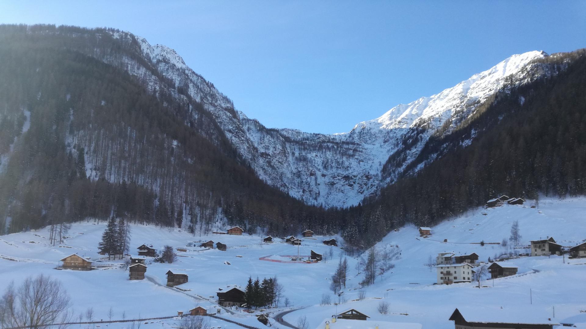
Cascate di Valorz
10.6 km away, in Rabbi
A waterfall in the Val di Rabbi reached through the Valorz farmsteads, inside the Stelvio national park.
Malga Caldesa Bassa
12.3 km away, in Rabbi
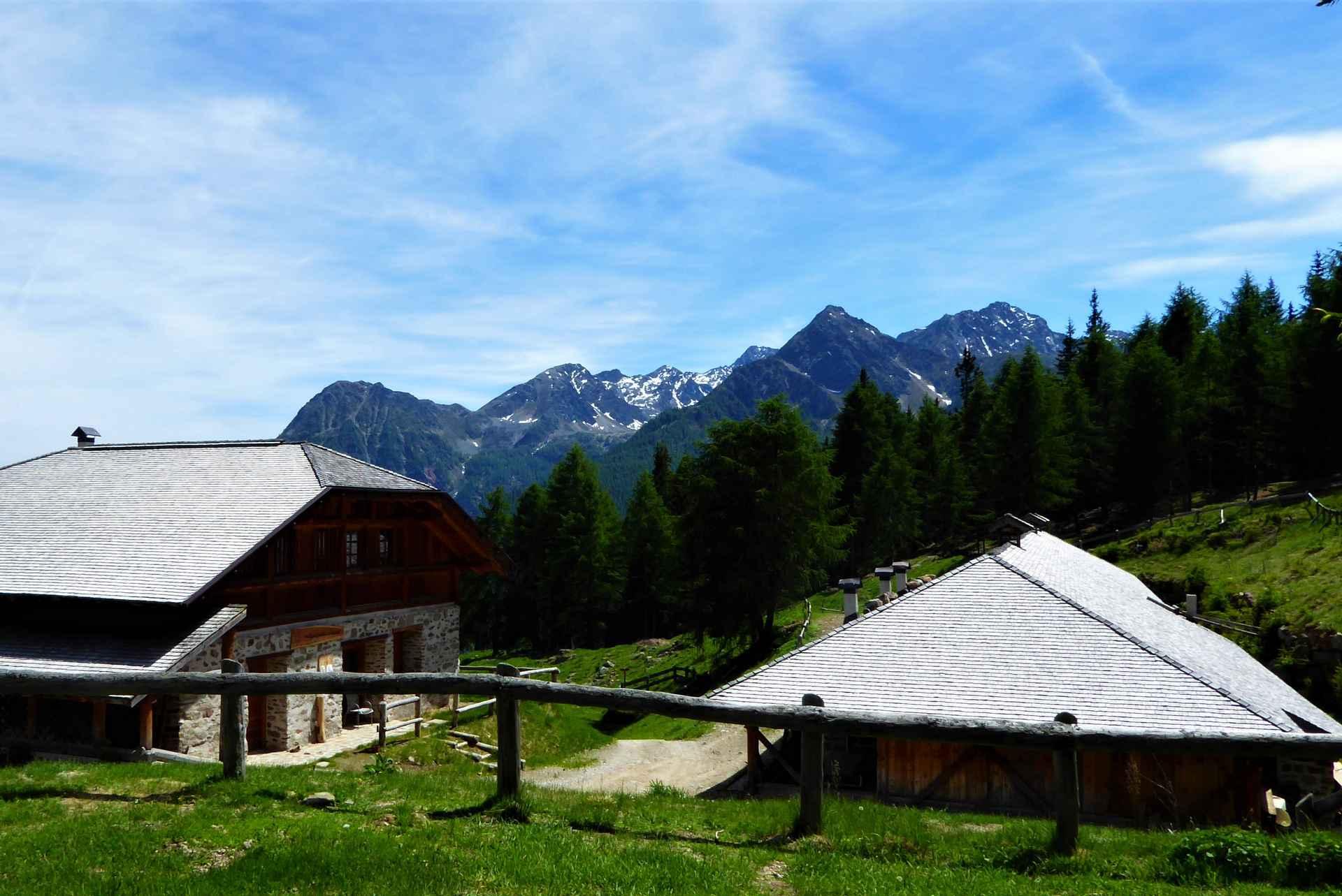
A summer dairy pasture in the Val di Rabbi, open to walkers in the Stelvio national park.
Baita L'Anda
12.5 km away, in Rabbi
A restored farmhouse hut at Piazzola di Rabbi, at 1,300 m in the Stelvio national park.
MAS DEL MEZDI'
13.7 km away, in Rabbi
A detached chalet at Somrabbi in the Val di Rabbi, inside the Stelvio national park.
Bambi Chalet
14.2 km away, in Rabbi
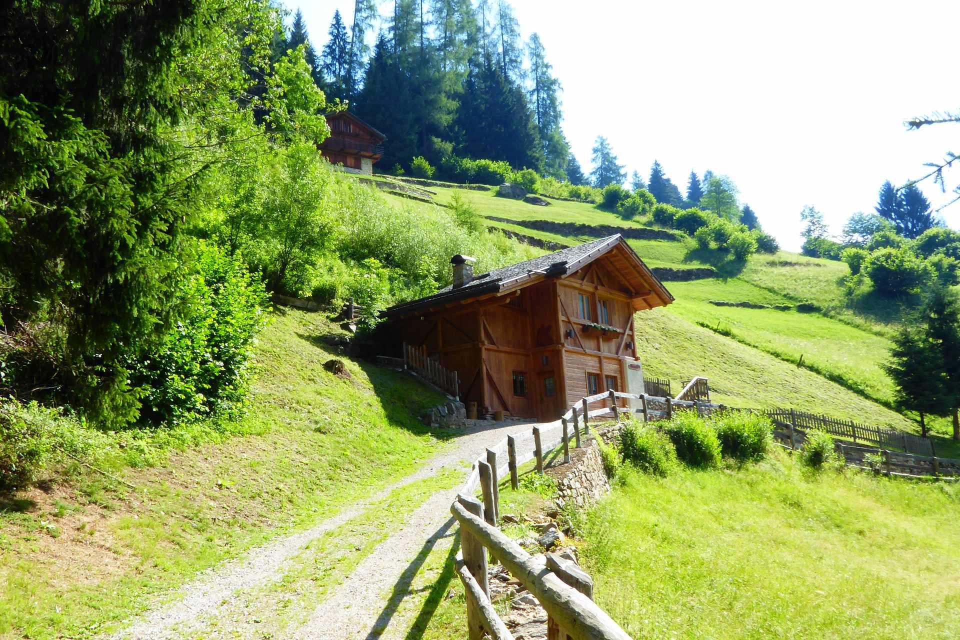
A converted hay barn in the Val di Rabbi, kept as it was built, in the Stelvio national park.
Malga Monte Sole
14.8 km away, in Rabbi
A dairy pasture on the sunny side of the Val di Rabbi, in the Stelvio national park.
Malga Fratte
15 km away, in Rabbi
A dairy pasture in the lower Val di Rabbi, on the paths into the Stelvio national park.
Nothing of this kind in Cles.
Routes
Via Ferrata Alpinistica Claudio Costanzi, Brenta Dolomites
A long, only partly equipped via ferrata across the quiet northern Brenta, from Rifugio Peller over Passo della Nana to the Grostè.
- 18.2 km
- Distance
- 1 499 m
- Ascent
- 12 h 55 min
- Duration
- 141
- Check-ins
 Monte Peller 2 320 m
- Cima Sassara 2 894 m
- Sasso Alto 2 897 m
- Cima Rocca 2 831 m
- Cima delle Livezze 2 780 m
- Cima del Vento 2 755 m
- +16
Open route APT Madonna di Campiglio, Pinzolo, Val RendenaFrom Castel Cles to the old quarters of Maiano and Pez
An easy route from Cles castle through apple orchards above Lake Santa Giustina to the Maiano and Pez quarters and their old churches.
- 3.1 km
- Distance
- 40 m
- Ascent
- 49 min
- Duration
Open route APT Val di NonDBT Stage 1: Rifugio Peller - Bivacco Costanzi
The first stage of the Dolomiti di Brenta Trek, from the Peller hut across the Pian della Nana on the Costanzi route to the Costanzi bivouac.
- 9.4 km
- Distance
- 704 m
- Ascent
- 3 h 54 min
- Duration
- 31
- Check-ins
 Bivacco Claudio Costanzi Albasini 2 365 m
- Rifugio Peller 2 022 m
- Bivacco Juffman 1 988 m
 Passo Della Nana 2 195 m
- Bivacco Malga Nana 2 068 m
- Passo della Forcola 2 150 m
- +1
Open route APT Madonna di Campiglio, Pinzolo, Val RendenaAnello sul Pian della Nana e Cima Sasso Rosso
A circuit starting and finishing at the Monte Peller hut, crossing the green expanse of the Pian della Nana to the Sasso Rosso.
- 18.0 km
- Distance
- 1 339 m
- Ascent
- 8 h 49 min
- Duration
- 49
- Check-ins
Tour de Non MTB Experience: Stage 04 Sporminore - Cles
The closing stage of the Val di Non loop, from Sporminore by the Lago Corona to Cles through the orchards.
- 27.1 km
- Distance
- 863 m
- Ascent
- 3 h 11 min
- Duration
- 7
- Check-ins
 Lago Corona 687 m
- Lo Scoiattolo 600 m
- Birreria La Fabbrica 506 m
- Baita Pozze 668 m
Open route APT Val di NonMendola route
A big day from Mezzocorona with the Denno ramp and then the Passo della Mendola, returning through Val di Non orchards and Wine Road vineyards.
- 98.7 km
- Distance
- 1 622 m
- Ascent
- 10 h 17 min
- Duration
- 123
- Check-ins
- Dosso Santa Margherita 307 m
- Passo della Mendola - Mendelpass 1 363 m
- Azienda per il Turismo Val di Non 1 364 m
- La Rocchetta 2019 270 m
- Castel Ringberg 306 m
- Paradiso 1 282 m
- +11
Open route VisitTrentinoHistoric center and Dos di Pez
A short rise from the old centre of Cles to a park terrace looking over Lake Santa Giustina and the castle.
- 1.0 km
- Distance
- 32 m
- Ascent
- 19 min
- Duration
Open route APT Val di NonDBT Stage 11: Agritur Malga Tuena - Rifugio Peller
A stage of the Brenta trek from Malga Tuena north to the Peller hut, at the end of the chain above the Val di Non.
- 9.2 km
- Distance
- 704 m
- Ascent
- 4 h 9 min
- Duration
- 28
- Check-ins
- Rifugio Peller 2 022 m
- Bivacco Juffman 1 988 m
- Malga Tassulla 2 090 m
- Lago Dorigat 1 869 m
- Malga Tuena 1 744 m
- Bivacco Guido Pinamonti 2 092 m
Open route APT Madonna di Campiglio, Pinzolo, Val RendenaLoop trail on Pian della Nana and Sasso Rosso Peak
A ring over the Pian della Nana, a grazed limestone plateau above 2,000 metres, and on to the Sasso Rosso and Cima Nana.
- 18.0 km
- Distance
- 1 349 m
- Ascent
- 8 h 51 min
- Duration
- 49
- Check-ins
- Monte Peller 2 320 m
- Cima Nana 2 572 m
- Sasso Rosso 2 649 m
- Rifugio Peller 2 022 m
- Bivacco Juffman 1 988 m
- Malga Tassulla 2 090 m
- +6
Open route APT Val di NonTour de Non MTB Experience: Stage 01 Cles - Senale
The first stage climbs from the valley floor to the summer pastures of the Maddalene, crossing the Forcella di Brez and the Giovat di Cloz.
- 35.4 km
- Distance
- 2 928 m
- Ascent
- 6 h 37 min
- Duration
- 5
- Check-ins
- Forcella di Brez - Brezer Joch 1 397 m
- Laureiner Alm - Malga di Lauregno 1 780 m
- Giovat di Cloz - Clozner Joch 1 376 m
- Maso Tafol 890 m
Open route APT Val di NonLoop with climb to Mendola Pass
A near-100 km road circuit from the Val di Non over into the Adige valley, returning by the climb to the Passo della Mendola.
- 98.9 km
- Distance
- 1 712 m
- Ascent
- 10 h 23 min
- Duration
- 117
- Check-ins
- Dosso Santa Margherita 307 m
- Passo della Mendola - Mendelpass 1 363 m
- Azienda per il Turismo Val di Non 1 364 m
- La Rocchetta 2019 270 m
- Maso Cervara 245 m
- Castel Ringberg 306 m
- +8
Open route APT Val di NonLago Lavacel C
A very short stretch of shore at the Lavacel tarn on the plateau above Cles.
- 148 m
- Distance
- 0 m
- Ascent
- 2 min
- Duration
Open route Trentino FishingCima Nana da malga Tassulla
A climb to Cima Nana, a grass summit with the Sasso Rosso and the whole northern Brenta chain in view.
- 14.5 km
- Distance
- 683 m
- Ascent
- 5 h 5 min
- Duration
- 25
- Check-ins
Malga Tassullo - Costanzi Bivouac - Prà Castron Pass
A long route up the valley from Malga Tassullo to the Costanzi bivouac and the Prà Castron pass under the north side of Sasso Rosso.
- 17.3 km
- Distance
- 846 m
- Ascent
- 6 h 14 min
- Duration
- 30
- Check-ins
- Bivacco Claudio Costanzi Albasini 2 365 m
- Malga Tassulla 2 090 m
- Lago Dorigat 1 869 m
- Passo Della Nana 2 195 m
- Bivacco Guido Pinamonti 2 092 m
- Bivacco Malga Nana 2 068 m
- +1
Open route APT Val di NonPeller Gravel
A mixed-surface loop out of Cles, climbing on tarmac and forest tracks to the Passo della Forcola at 2,150 m and around the massif.
- 55.3 km
- Distance
- 1 697 m
- Ascent
- 6 h 30 min
- Duration
- 30
- Check-ins
- Mostizzolo 592 m
- Malga Tassulla 2 090 m
- Lago Dorigat 1 869 m
- Bivacco Guido Pinamonti 2 092 m
- Passo della Forcola 2 150 m
- Bivacco delle Salare 2 021 m
- +3
Open route APT Val di NonWalk to Roplan
A short walk from Cles up to the Roplan area, among orchards on the terrace above Lake Santa Giustina.
- 3.0 km
- Distance
- 152 m
- Ascent
- 1 h 6 min
- Duration
Open route APT Val di NonLago delle Salare
A walk on the northern edge of the Brenta group to the small Salare tarn and up to the Passo della Nana.
- 11.5 km
- Distance
- 429 m
- Ascent
- 3 h 46 min
- Duration
- 24
- Check-ins
Dimaro, Valle dei Cavalli
A steady climb from Carciato up the long Valle dei Cavalli to the abandoned Malga Cavalli at 2,061 m, where the view finally opens.
- 13.3 km
- Distance
- 1 637 m
- Ascent
- 9 h 43 min
- Duration
- 5
- Check-ins
Open route APT Valli di Sole, Peio e RabbiOn the "Rampipeller" race route
A steep paved climb below the Brenta Dolomites to the Passo della Forcola at 2,150 m, with a return around Monte Peller.
- 29.3 km
- Distance
- 1 234 m
- Ascent
- 3 h 46 min
- Duration
- 19
- Check-ins
- Malga Tassulla 2 090 m
- Lago Dorigat 1 869 m
- Bivacco Guido Pinamonti 2 092 m
- Passo della Forcola 2 150 m
- Passo Le Fraine 1 706 m
- Malga Clesera 1 888 m
Open route APT Val di NonGiro del Monte Peller
An easy round below the summit of Monte Peller at the northern end of the Brenta Dolomites.
- 10.7 km
- Distance
- 333 m
- Ascent
- 3 h 19 min
- Duration
- 21
- Check-ins
Tour 1439 - Senter del Guardia, on the trail of the forest ranger
A long forest route east of Monte Peller on paths once used by poachers, laid out by the ranger who used to catch them.
- 18.5 km
- Distance
- 796 m
- Ascent
- 6 h 17 min
- Duration
- 3
- Check-ins
Open route APT Val di NonEasy loop of the Val di Non with ascent to Rumo
A road ride out of Cles across the Mostizzolo bridge, climbing the western side valley and coming back past the dam.
- 41.1 km
- Distance
- 896 m
- Ascent
- 4 h 29 min
- Duration
- 9
- Check-ins
Open route APT Val di NonRoute around Monte Peller
A loop from the Durigal pond by Malga Tassullo to the Forcola pass, then round the north side of Monte Peller past the Cles dairy and the Peller hut.
- 8.7 km
- Distance
- 315 m
- Ascent
- 2 h 50 min
- Duration
- 17
- Check-ins
- Malga Tassulla 2 090 m
- Lago Dorigat 1 869 m
- Bivacco Guido Pinamonti 2 092 m
- Passo della Forcola 2 150 m
- Malga Clesera 1 888 m
Open route APT Val di NonCammino Jacopeo d'Anaunia
The fifth stage of the Anaunia pilgrim way, from Cles to Flavon through the castles and churches of the central Val di Non.
- 22.5 km
- Distance
- 576 m
- Ascent
- 6 h 46 min
- Duration
- 2
- Check-ins
E-bike from Cles to Lake Tovel
A paved climb out of the Val di Non to the lake at 1,190 m, a road closed to cars in summer and served only by shuttle.
- 32.0 km
- Distance
- 950 m
- Ascent
- 3 h 44 min
- Duration
- 8
- Check-ins
- Chalet Tovel 1 194 m
- Al Capriolo 800 m
- Laghetti Effimeri 841 m
Open route APT Val di NonJacopeo d'Anaunia Path – IV stage
A demanding stage from Caldes up to Cles, with a long mountain stretch above Cavizzana where there is nowhere to resupply.
- 17.7 km
- Distance
- 1 083 m
- Ascent
- 7 h 38 min
- Duration
Open route APT Val di NonCultural Gravel Tour
A long gravel tour at the lower levels of the Val di Non, stringing together Castel Valer, San Romedio and the old lez canal trails.
- 77.4 km
- Distance
- 1 883 m
- Ascent
- 8 h 39 min
- Duration
- 7
- Check-ins
- Lago Corona 687 m
- Birreria La Fabbrica 506 m
- Madonna Brusada 969 m
- Società Frutticoltori Campodenno - S.F.C - Melinda 499 m
- Laghetto della Marchesa 427 m
- Caffetteria del castello 602 m
- +2
Open route APT Val di NonLago Santa Giustina A
A long low-level route around the Santa Giustina reservoir, the lake held behind the dam in the Val di Non.
- 20.9 km
- Distance
- 414 m
- Ascent
- 5 h 56 min
- Duration
Loop of the lower Val di Non with ascent in Predaia
A loop on quiet back roads down the valley and up the other side, passing the reservoir at Vervò and below Castel Thun.
- 42.1 km
- Distance
- 995 m
- Ascent
- 4 h 41 min
- Duration
- 4
- Check-ins
- Birreria La Fabbrica 506 m
- Bacino di Vervò 862 m
- Alla Diga Polygon 534 m
Open route APT Val di NonTour 1442 - Quattro Ville: Gentle tour of the castles along the apple orchards of Val di Non
A long, easy tour on lanes and cycle routes through the apple country of the Val di Non, under Cles castle above the Santa Giustina reservoir.
- 17.0 km
- Distance
- 240 m
- Ascent
- 4 h 34 min
- Duration
Open route APT Val di NonEasy Gravel dei Castelli
A short mixed-surface loop from Cles through the castle country of the Val di Non, on quiet asphalt and smooth farm tracks.
- 17.0 km
- Distance
- 255 m
- Ascent
- 1 h 45 min
- Duration
Open route APT Val di Non
No routes of this kind in Cles yet.
The region's own picks

Featured route
From Castel Cles to the old quarters of Maiano and Pez
An easy route from Cles castle through apple orchards above Lake Santa Giustina to the Maiano and Pez quarters and their old churches.
Planning a trip to Cles?
Everything else Trentino-Alto Adige/Südtirol has, in one place


Take Cles with you into the mountains
Every route on this page with 3D terrain, GPX navigation and offline maps — including the valleys with no signal.
Data sources
- Official website: visittrentino.info ↗
- Routes and highlights: APT Val di Non, Valdirabbi, Visit Trentino, APT Madonna di Campiglio, Pinzolo, Val Rendena, Italia.it, Astrotourism, VisitTrentino, Trentino Fishing, APT Valli di Sole, Peio e Rabbi
- Published as open data by the tourist boards named above.
- Region summary generated from the board's own material.
