



Curated by Parcodolomitifriulane
Claut
A Valcellina village below Monte Pramaggiore, at the mouth of the Val Settimana in the Friulian Dolomites park.
- 6Routes
- Featured summit · Monte Pramaggiore
Routes
14 from neighbouring places
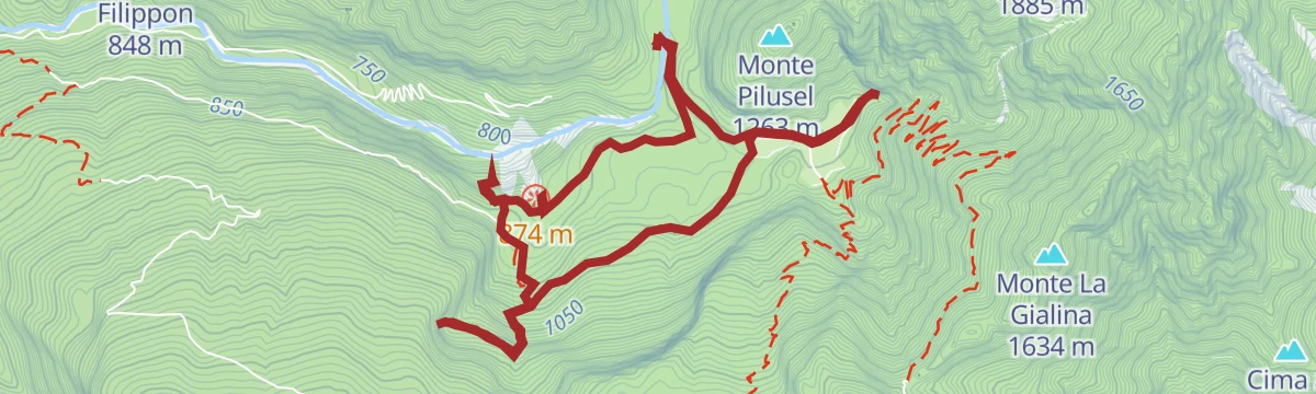
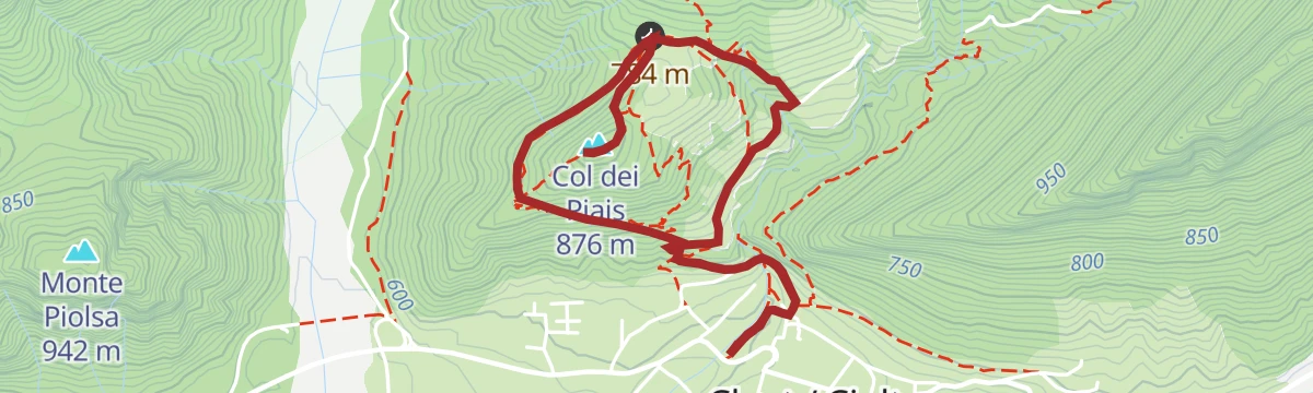
Col-dei-Piais
A short climb above Claut in the Cellina valley to the wooded top of Col dei Piais, inside the Friulian Dolomites park.
- 4.7 km
- Distance
- 319 m
- Ascent
- 2 h 7 min
- Duration
- 1
- Check-ins
Sentiero geologico Alto Cellina
A geology trail in the upper Cellina valley above Claut, reading the rock layers of the Friulian Dolomites.
- 7.7 km
- Distance
- 471 m
- Ascent
- 3 h 15 min
- Duration
- 4
- Check-ins
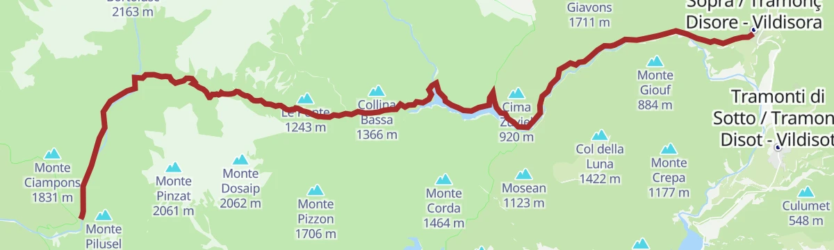
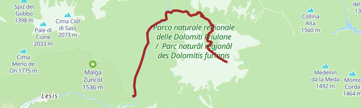
Trekking da Claut a Tramonti di Sopra
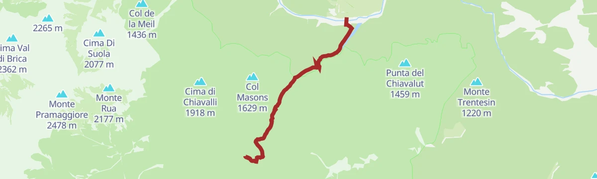
A long crossing from Claut in the Cellina valley over the ridge into the Tramontina valley at Tramonti di Sopra.
- 22.4 km
- Distance
- 1 080 m
- Ascent
- 8 h 55 min
- Duration
- 17
- Check-ins
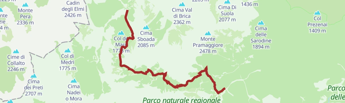
Trekking delle Bregoline
A long, steep circuit above Claut on the Bregoline slopes, crossing the Colle Roncada in the Friulian Dolomites park.
- 16.3 km
- Distance
- 1 590 m
- Ascent
- 9 h 17 min
- Duration
- 11
- Check-ins
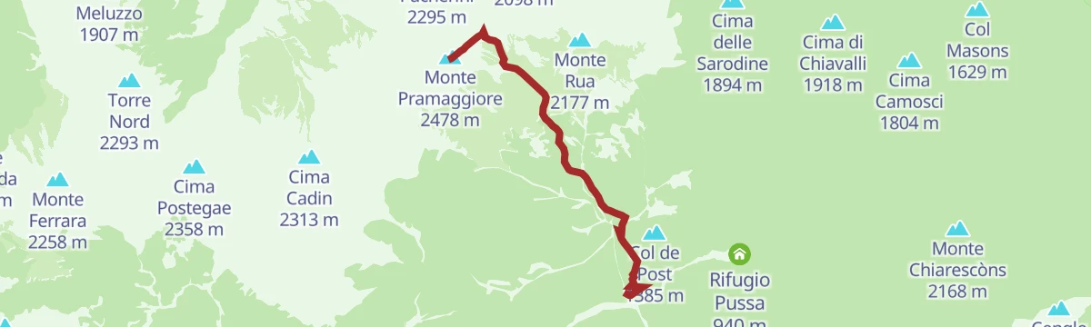
Monte Pramaggiore da sud
A steep southern ascent of Monte Pramaggiore, one of the main summits of the Friulian Dolomites above Claut.
- 4.6 km
- Distance
- 1 608 m
- Ascent
- 5 h 39 min
- Duration
- 10
- Check-ins
Monte Dosaip
A long climb to Monte Dosaip, the rocky summit north of Claut on the divide above the Cellina valley.
- 8.3 km
- Distance
- 1 168 m
- Ascent
- 4 h 45 min
- Duration
- 6
- Check-ins
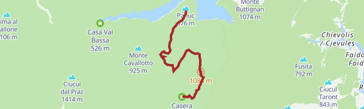
Sentiero dei forestali a Casera Salincheit
10.3 km away, in Frisanco
The old forestry path from Frisanco up to the Casera Salincheit, on the Panuc slope in the Val Colvera.
- 5.2 km
- Distance
- 798 m
- Ascent
- 3 h 16 min
- Duration
- 8
- Check-ins
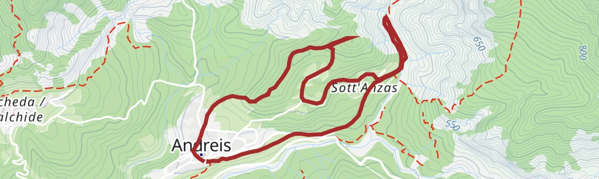
Sentiero di San Daniele e Susaibes
10.5 km away, in Andreis
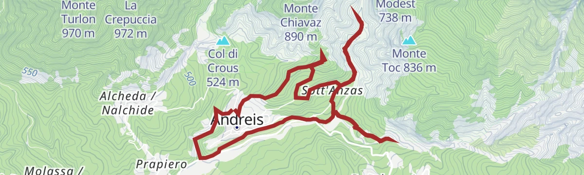
An easy path above Andreis in the Val Cellina, linking the San Daniele chapel and the Susaibes hillside.
- 4.4 km
- Distance
- 159 m
- Ascent
- 1 h 26 min
- Duration
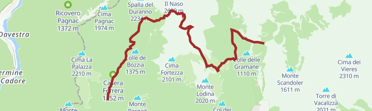
Trekking forcella Duranno
9.2 km away, in Cimolais
A long climb from the Val Cimoliana up to the Forcella Duranno, the notch under Monte Duranno in the Friulian Dolomites.
- 13.6 km
- Distance
- 1 575 m
- Ascent
- 8 h 36 min
- Duration
- 47
- Check-ins
Sentiero geologico Susaibes Alba Ledron
10.3 km away, in Andreis
A geological trail near Andreis with stops on the rock and fossil beds of the Friulian Dolomites park, between Susaibes and Ledron.
- 7.8 km
- Distance
- 292 m
- Ascent
- 2 h 33 min
- Duration
Sentiero del Dint
10.9 km away, in Barcis
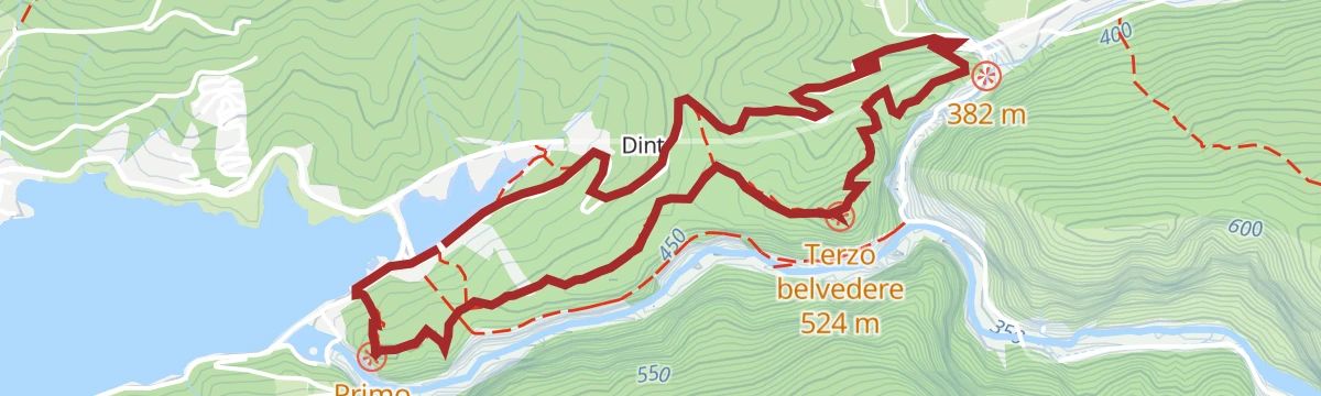
An easy path on the Dint terrace above Barcis, looking down on the turquoise lake in the Cellina valley.
- 4.8 km
- Distance
- 228 m
- Ascent
- 1 h 41 min
- Duration
- 17
- Check-ins
 Lago di Barcis 392 m
 Centro Visite di Barcis 410 m
- Ponte Antoi 408 m
- Ponte Antoi - ticket 411 m
Monte Chiarescons da Nord
13.7 km away, in Forni di Sotto
A steep climb from the north to Monte Chiarescons, in the Friulian Dolomites above Forni di Sotto.
- 7.0 km
- Distance
- 0 m
- Ascent
- 1 h 39 min
- Duration
Sentiero del Mont Ciavac
10.5 km away, in Andreis
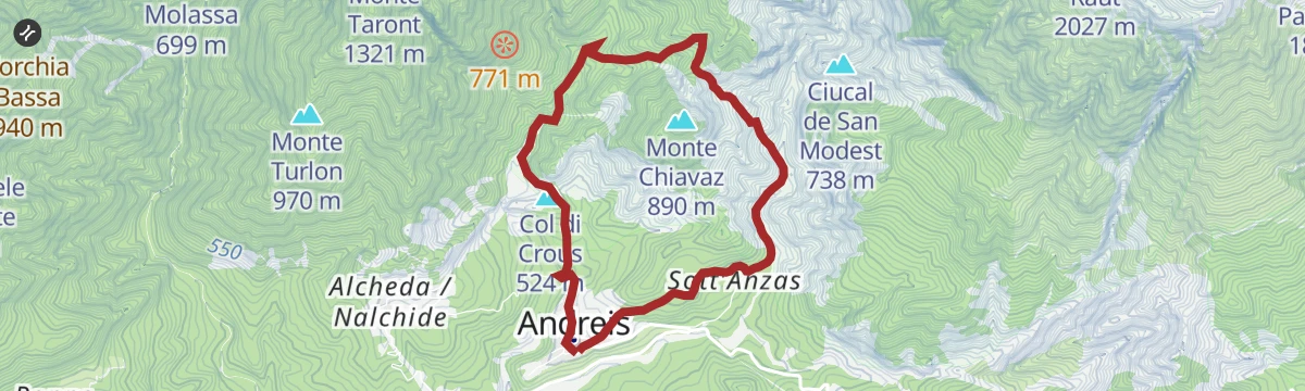
A marked path from Andreis in the Val Cellina up the Mont Ciavac slope to the Col di Crous, inside the Friulian Dolomites park.
- 6.0 km
- Distance
- 432 m
- Ascent
- 2 h 51 min
- Duration
- 2
- Check-ins
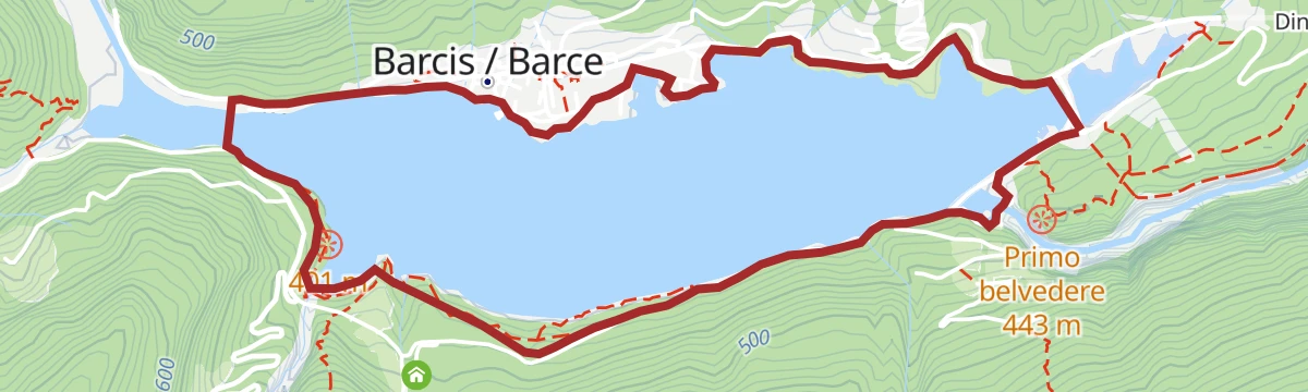
Anello del lago di Barcis
10.9 km away, in Barcis
A level circuit of the turquoise Barcis reservoir in the Cellina valley.
- 5.6 km
- Distance
- 94 m
- Ascent
- 1 h 33 min
- Duration
- 17
- Check-ins
- Lago di Barcis 392 m
- Centro Visite di Barcis 410 m
- Ponte Antoi 408 m
- Ponte Antoi - ticket 411 m
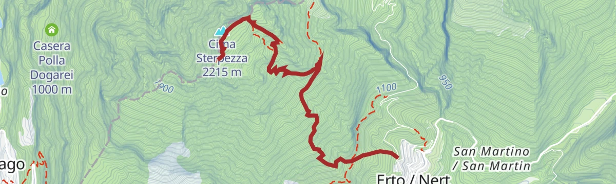
Laste di San Daniele
14.5 km away, in Erto e Casso
A very steep climb from the Vajont valley onto the Laste di San Daniele, reaching Cima Sterpezza and Monte Piave above Erto e Casso.
- 4.9 km
- Distance
- 1 322 m
- Ascent
- 4 h 49 min
- Duration
- 6
- Check-ins
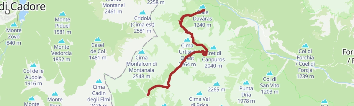
Trekking da Cimolais a Forni di Sopra
11.3 km away, in Cimolais
A crossing out of Cimolais in the Val Cellina, over a pass in the Friulian Dolomites park to Forni di Sopra in Carnia.
- 11.6 km
- Distance
- 812 m
- Ascent
- 5 h 38 min
- Duration
- 55
- Check-ins
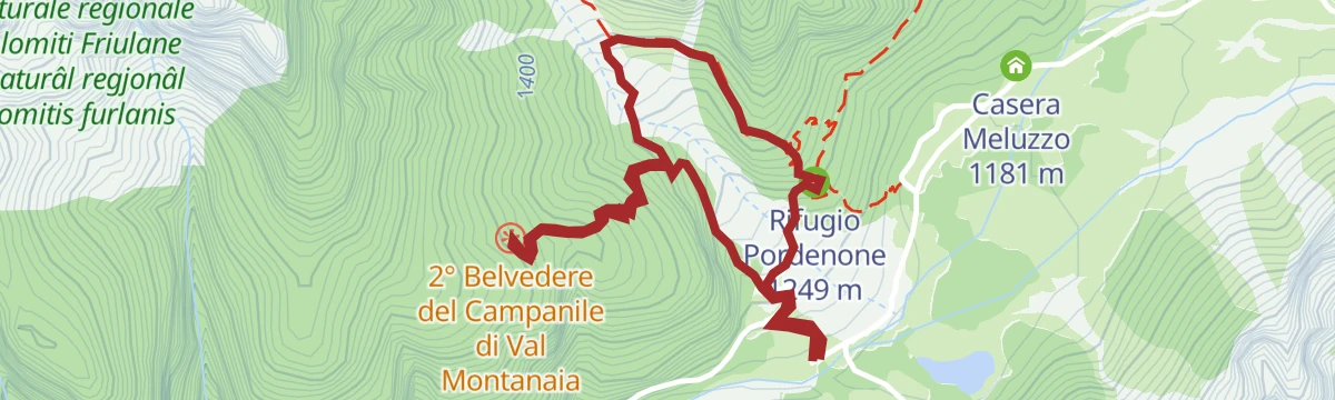
Belvederi del Campanile di Val Montanaia
11.3 km away, in Cimolais
A short climb from Cimolais to viewpoints facing the Campanile di Val Montanaia, the slender rock spire of the Friulian Dolomites.
- 3.0 km
- Distance
- 313 m
- Ascent
- 1 h 55 min
- Duration
- 24
- Check-ins
Sentiero Truoi dai Sclops
14.9 km away, in Forni di Sopra
A long, steep route above Forni di Sopra in the Friulian Dolomites, the gentian path of the upper Tagliamento.
- 15.2 km
- Distance
- 1 629 m
- Ascent
- 9 h 36 min
- Duration
- 77
- Check-ins
Sentiero Geologico Montanaia Meluzzo
11.5 km away, in Cimolais
A geology trail from the Meluzzo pastures up the Val Montanaia, reading the rock layers beneath the Campanile.
- 3.6 km
- Distance
- 0 m
- Ascent
- 50 min
- Duration
- 25
- Check-ins
- Rifugio Pordenone 1 249 m
- Lago di Meluzzo 1 163 m
Sentiero dei Landris
13.5 km away, in Frisanco
A near-level path at Frisanco in the Val Colvera, in the foothills of the Friulian Dolomites.
- 3.7 km
- Distance
- 54 m
- Ascent
- 1 h 7 min
- Duration
No routes of this kind in Claut yet.
The region's own picks
Featured route
Col-dei-Piais
A short climb above Claut in the Cellina valley to the wooded top of Col dei Piais, inside the Friulian Dolomites park.
Planning a trip to Claut?
Everything else Friuli Venezia Giulia has, in one place


Take Claut with you into the mountains
Every route on this page with 3D terrain, GPX navigation and offline maps — including the valleys with no signal.
Data sources
- Official website: turismofvg.it ↗
- Routes and highlights: Parcodolomitifriulane
- Published as open data by the tourist boards named above.
- Region summary generated from the board's own material.
