
Curated by Parcodolomitifriulane
Cimolais
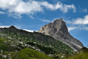
A Valcellina village at the mouth of the Val Cimoliana, the way in to the Campanile di Val Montanaia.
- 5Highlights
- 5Routes
- Featured summit · Colle Roncada
Highlights
All 5 from neighbouring places
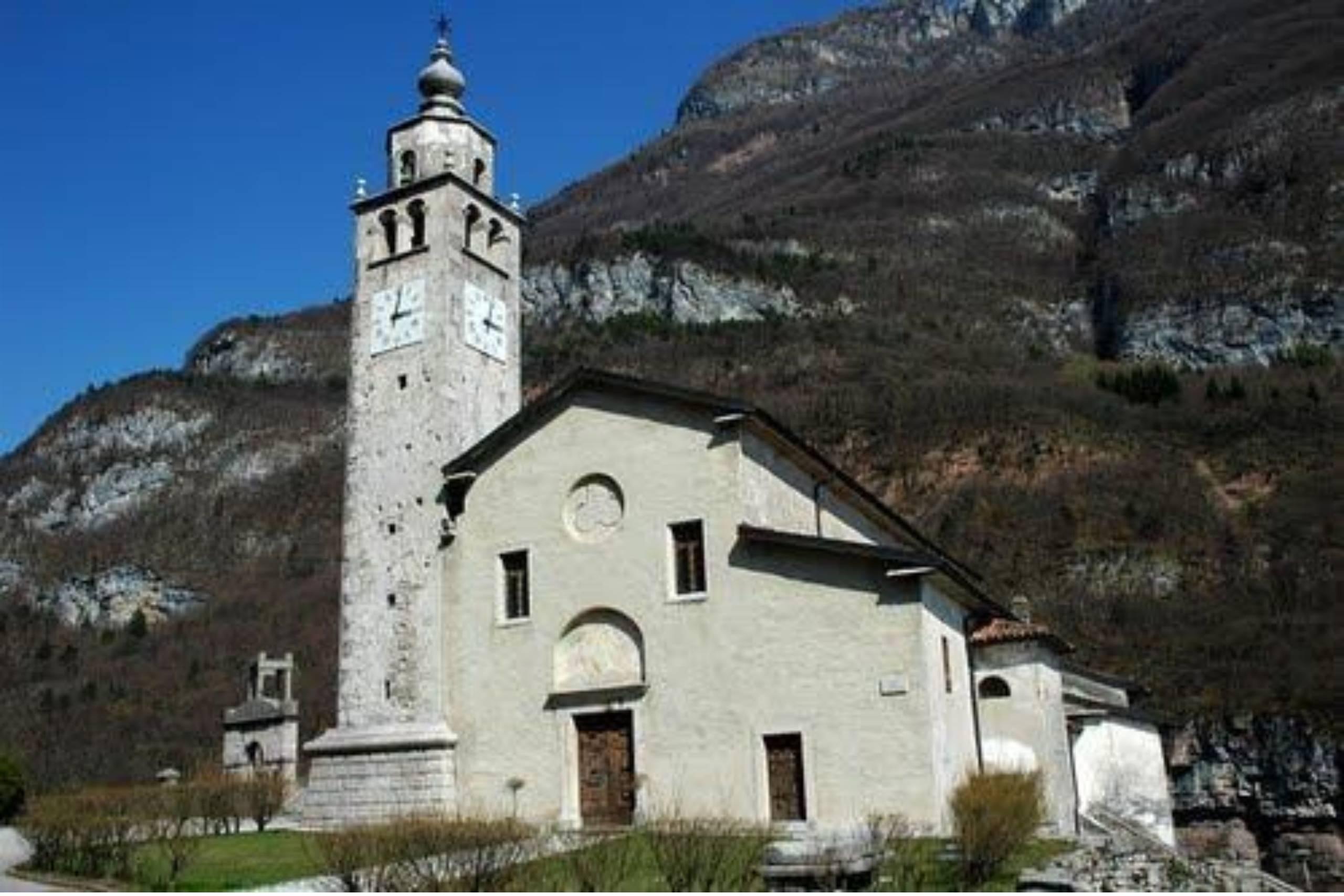
Chiesa di San Quirico e Giulitta in Castellavazzo
12 km away, in Longarone
A church at Castellavazzo, above the Piave north of Longarone, dedicated to the martyrs Quirico and Giulitta.
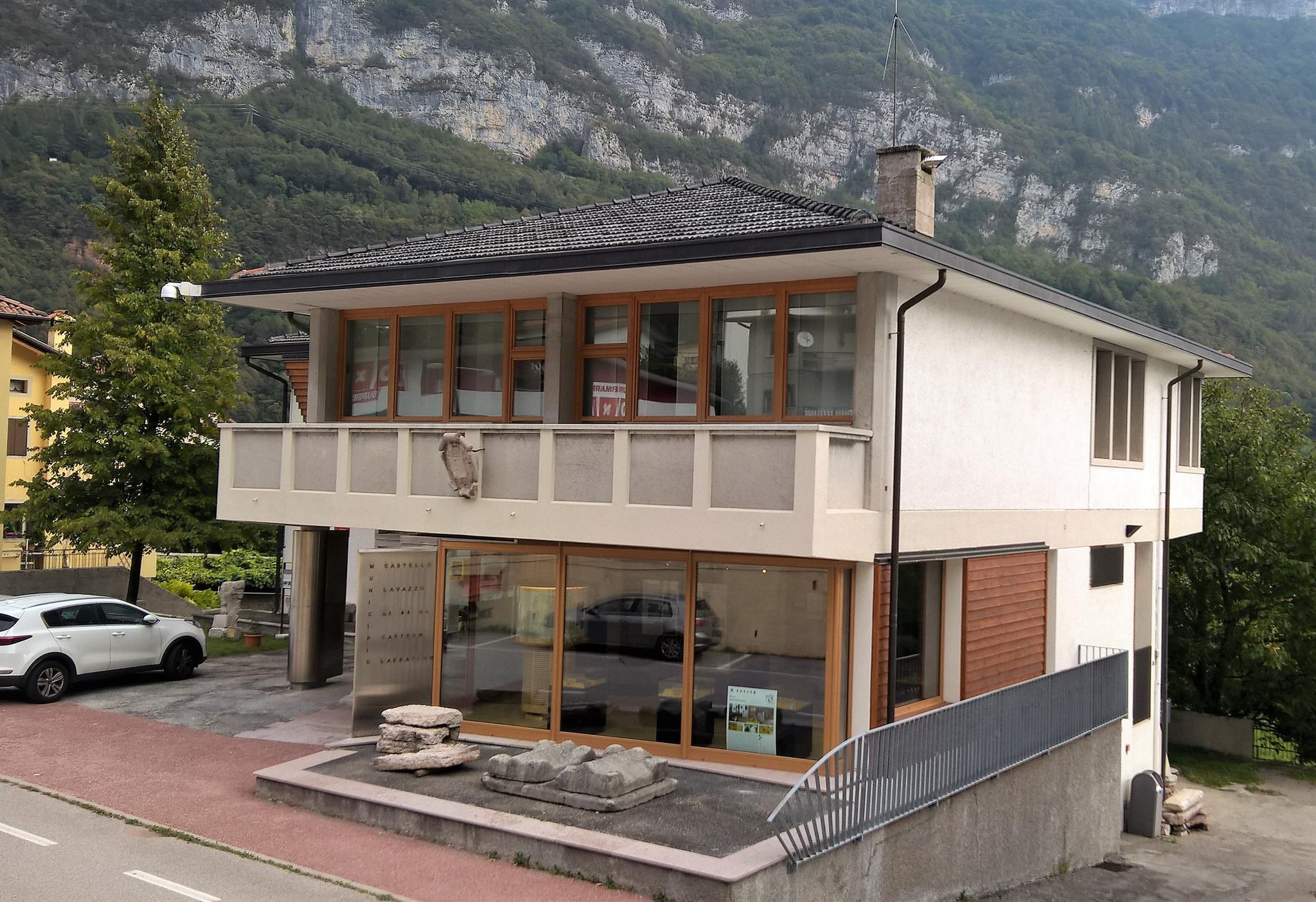
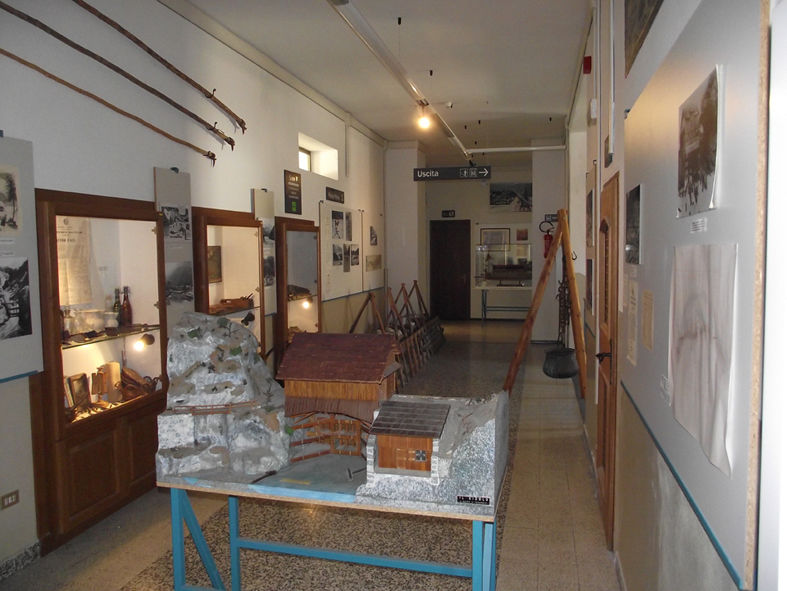
Museo della Pietra e degli Scalpellini
12.3 km away, in Longarone
A museum at Castellavazzo, in the comune of Longarone, on the local building stone and the quarrymen and stonecutters who worked it.
Museo delle Zattere e degli Zattieri
12.4 km away, in Longarone
A museum on the raftsmen who floated Cadore timber down the Piave to Venice.
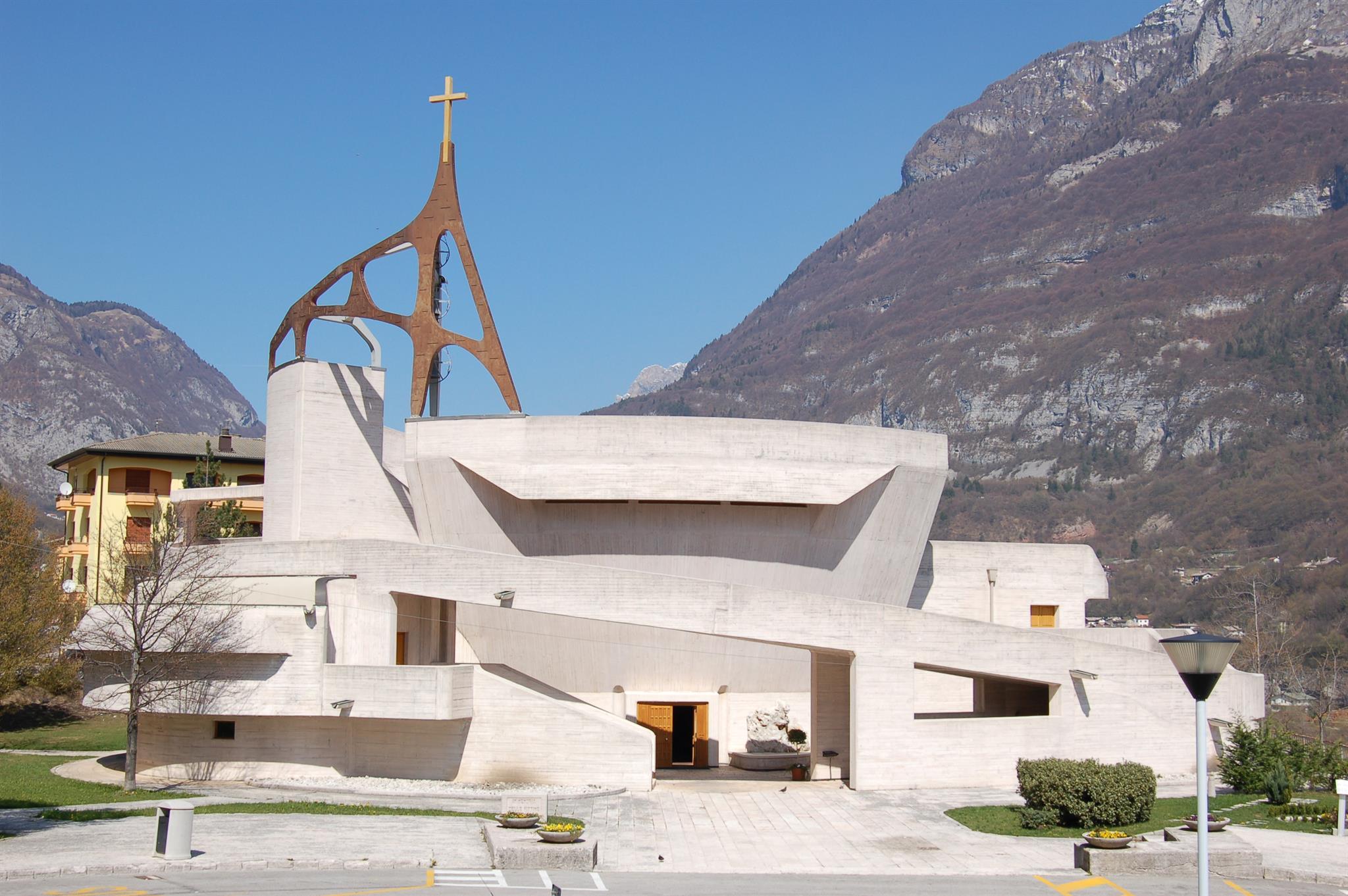
Chiesa del Michelucci
13.5 km away, in Longarone
The parish church of Longarone, rebuilt to Giovanni Michelucci's design after the 1963 Vajont disaster, above the Piave.
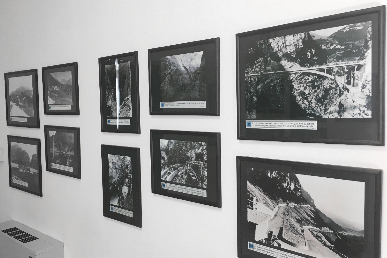
Museo Longarone Vajont Attimi di Storia
13.5 km away, in Longarone
A museum at Longarone on the night of 9 October 1963, when the Vajont landslide destroyed the town.
Nothing of this kind in Cimolais.
Routes
15 from neighbouring places
Belvederi del Campanile di Val Montanaia
A short climb from Cimolais to viewpoints facing the Campanile di Val Montanaia, the slender rock spire of the Friulian Dolomites.
- 3.0 km
- Distance
- 313 m
- Ascent
- 1 h 55 min
- Duration
- 24
- Check-ins
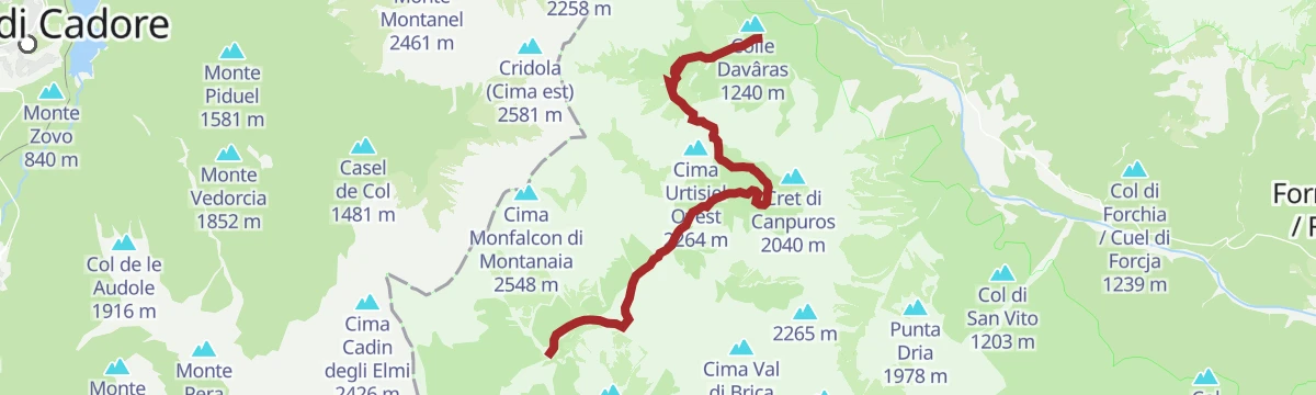
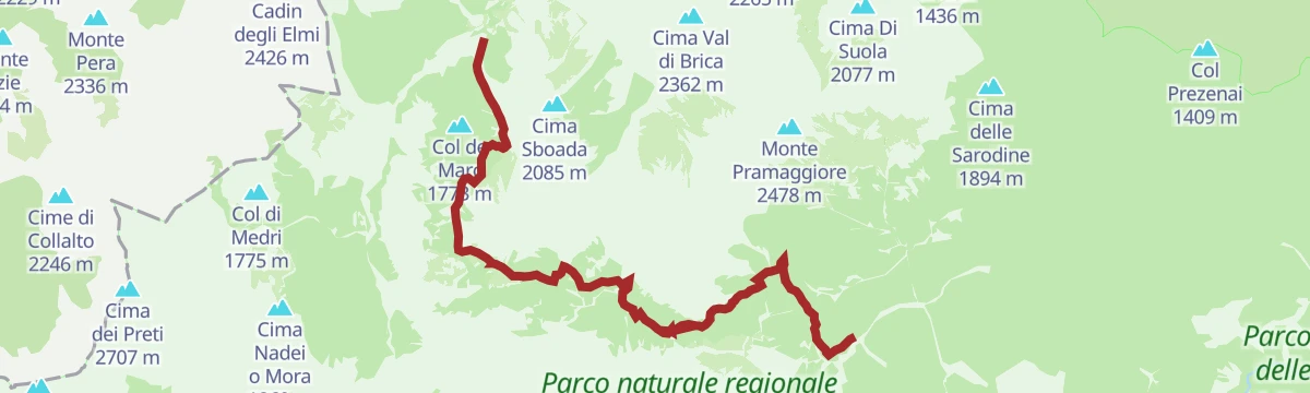
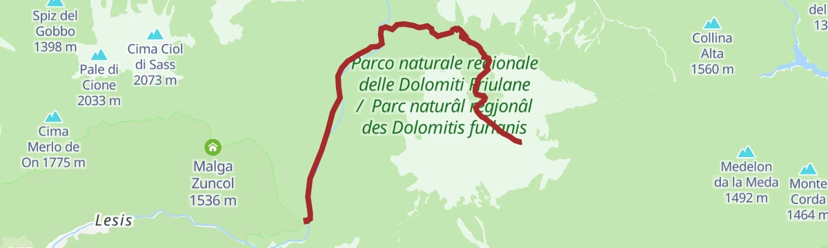
Trekking da Cimolais a Forni di Sopra
A crossing out of Cimolais in the Val Cellina, over a pass in the Friulian Dolomites park to Forni di Sopra in Carnia.
- 11.6 km
- Distance
- 812 m
- Ascent
- 5 h 38 min
- Duration
- 55
- Check-ins
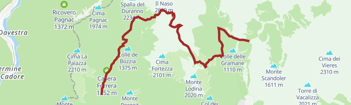
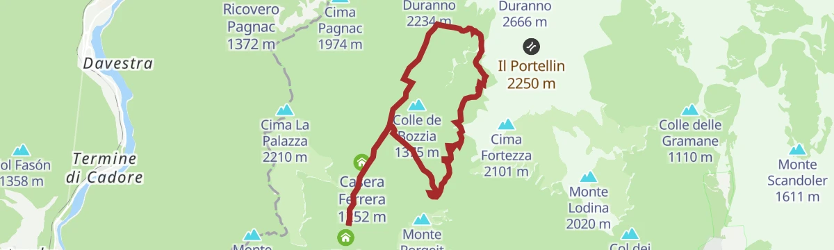
Trekking forcella Duranno
A long climb from the Val Cimoliana up to the Forcella Duranno, the notch under Monte Duranno in the Friulian Dolomites.
- 13.6 km
- Distance
- 1 575 m
- Ascent
- 8 h 36 min
- Duration
- 47
- Check-ins
Sentiero Geologico Montanaia Meluzzo
A geology trail from the Meluzzo pastures up the Val Montanaia, reading the rock layers beneath the Campanile.
- 3.6 km
- Distance
- 0 m
- Ascent
- 50 min
- Duration
- 25
- Check-ins
 Rifugio Pordenone 1 249 m
 Lago di Meluzzo 1 163 m
Trekking delle Bregoline
A long, steep circuit above Claut on the Bregoline slopes, crossing the Colle Roncada in the Friulian Dolomites park.
- 16.3 km
- Distance
- 1 590 m
- Ascent
- 9 h 17 min
- Duration
- 11
- Check-ins
BIKE TOUR - FROM CALALZO DI CADORE TO SANTA CROCE LAKE
14.1 km away, in Calalzo di Cadore
A valley run down the Piave on the Munich–Venice cycle way, from Cadore through Perarolo and Ospitale towards the Alpago lake.
- 49.3 km
- Distance
- 451 m
- Ascent
- 4 h 55 min
- Duration
- 2
- Check-ins
Open route Dolomiti Bellunesi - The Mountains of VeniceSentiero dei Mulini e Val Cimoliana
7.6 km away, in Claut
An easy walk on the path of the old water mills, at the entrance of the Val Cimoliana in the Friulian Dolomites.
- 4.7 km
- Distance
- 319 m
- Ascent
- 2 h 7 min
- Duration
- 1
- Check-ins
Sentiero della Galvana
7.5 km away, in Erto e Casso
A medium hike from Erto above the Vajont valley, following the Galvana path below the Friulian Dolomite walls.
- 12.0 km
- Distance
- 834 m
- Ascent
- 5 h 34 min
- Duration
- 44
- Check-ins
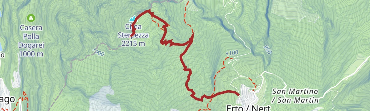
Laste di San Daniele
8.4 km away, in Erto e Casso
A very steep climb from the Vajont valley onto the Laste di San Daniele, reaching Cima Sterpezza and Monte Piave above Erto e Casso.
- 4.9 km
- Distance
- 1 322 m
- Ascent
- 4 h 49 min
- Duration
- 6
- Check-ins
Valley Ring - Pieve - Costapiana Shelter
14.2 km away, in Valle di Cadore
A long ring from Valle di Cadore along the Dolomites cycleway to Pieve, then up by Pozzale and forest road to Forcella Antracisa.
- 23.8 km
- Distance
- 1 164 m
- Ascent
- 3 h 15 min
- Duration
- 48
- Check-ins
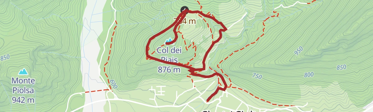
Open route Dolomiti Bellunesi - The Mountains of VeniceCol-dei-Piais
7.6 km away, in Claut
A short climb above Claut in the Cellina valley to the wooded top of Col dei Piais, inside the Friulian Dolomites park.
- 4.7 km
- Distance
- 319 m
- Ascent
- 2 h 7 min
- Duration
- 1
- Check-ins
Sentiero geologico Alto Cellina
11.9 km away, in Claut
A geology trail in the upper Cellina valley above Claut, reading the rock layers of the Friulian Dolomites.
- 7.7 km
- Distance
- 471 m
- Ascent
- 3 h 15 min
- Duration
- 4
- Check-ins
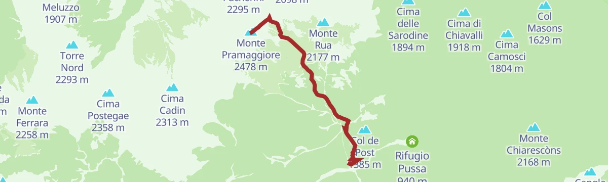
Monte Pramaggiore da sud
9.6 km away, in Claut
A steep southern ascent of Monte Pramaggiore, one of the main summits of the Friulian Dolomites above Claut.
- 4.6 km
- Distance
- 1 608 m
- Ascent
- 5 h 39 min
- Duration
- 10
- Check-ins
Sentiero della Nongola e della Moliesa
11 km away, in Erto e Casso
A short path on the Vajont slopes at Erto e Casso, linking the Nongola and Moliesa streams.
- 4.0 km
- Distance
- 237 m
- Ascent
- 1 h 39 min
- Duration
- 25
- Check-ins
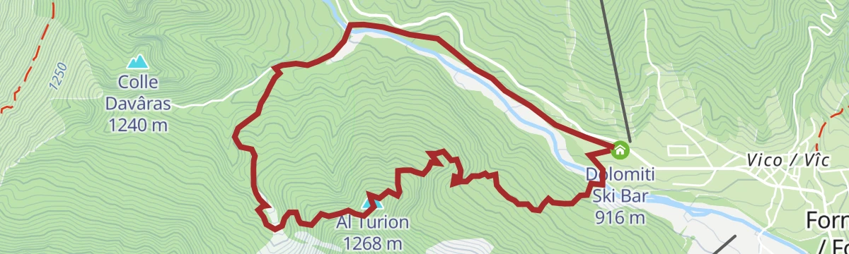
Truoi dal Von
14.1 km away, in Forni di Sopra
A medium walk above Forni di Sopra at the head of the Tagliamento valley, climbing to Al Turion in the Friulian Dolomites.
- 6.4 km
- Distance
- 376 m
- Ascent
- 2 h 38 min
- Duration
- 6
- Check-ins
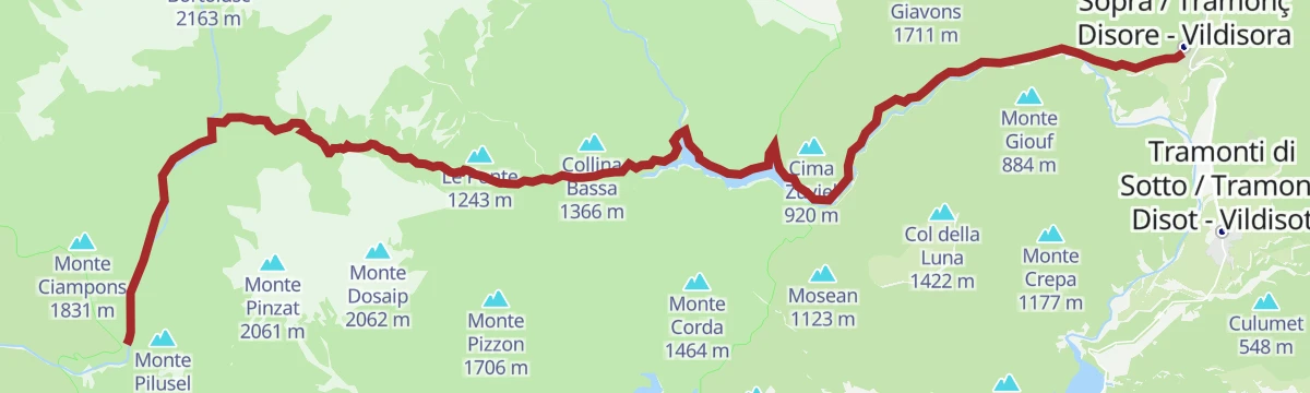
Trekking da Claut a Tramonti di Sopra
11.9 km away, in Claut
A long crossing from Claut in the Cellina valley over the ridge into the Tramontina valley at Tramonti di Sopra.
- 22.4 km
- Distance
- 1 080 m
- Ascent
- 8 h 55 min
- Duration
- 17
- Check-ins
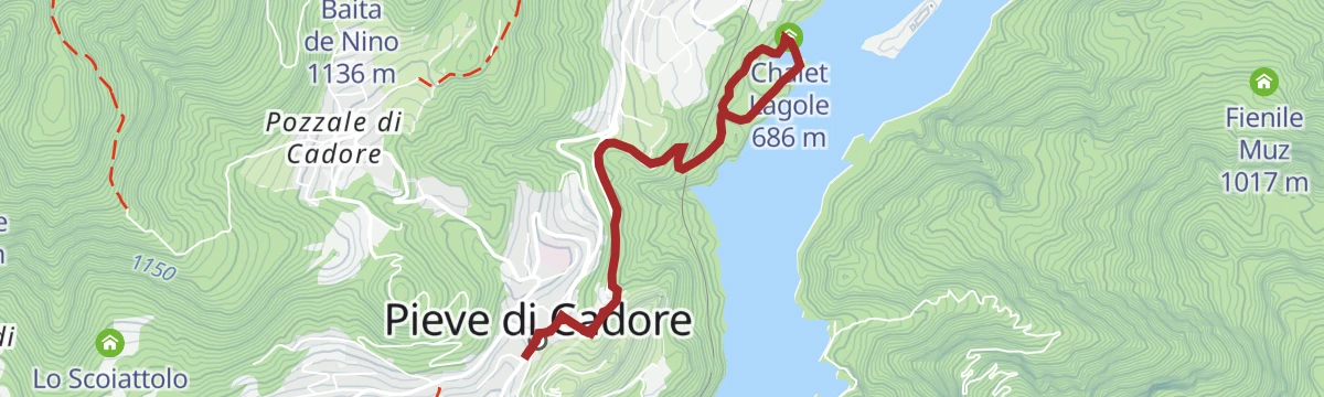
Lake Centro di Cadore and the Laghetto delle Tose from Pieve di Cadore
12.9 km away, in Pieve di Cadore
A walk from Pieve di Cadore along the Centro Cadore reservoir and up to the smaller Laghetto delle Tose in the woods.
- 5.4 km
- Distance
- 227 m
- Ascent
- 1 h 50 min
- Duration
- 23
- Check-ins
- Laghetto pesca sportiva 685 m
- Chalet Lagole 686 m
- Laghetto delle Tose 711 m
Open route Dolomiti Bellunesi - The Mountains of VeniceCascata Val Rovadia
14.2 km away, in Forni di Sopra
A walk from Forni di Sopra up the Val Rovadia to its waterfall, in the woods below the Friulian Dolomites.
- 8.5 km
- Distance
- 0 m
- Ascent
- 1 h 59 min
- Duration
Monte Dosaip
11.9 km away, in Claut
A long climb to Monte Dosaip, the rocky summit north of Claut on the divide above the Cellina valley.
- 8.3 km
- Distance
- 1 168 m
- Ascent
- 4 h 45 min
- Duration
- 6
- Check-ins
Cadore Center Ring
13.9 km away, in Calalzo di Cadore
A loop from the Calalzo sports fields through the woods and villages of central Cadore.
- 14.7 km
- Distance
- 484 m
- Ascent
- 4 h 39 min
- Duration
- 27
- Check-ins
 Col Contràs 1 062 m
- Laghetto pesca sportiva 685 m
- Chalet Lagole 686 m
- Laghetto delle Tose 711 m
- Casa di Babbo Natale 888 m
Open route Dolomiti Bellunesi - The Mountains of Venice







No routes of this kind in Cimolais yet.
The region's own picks
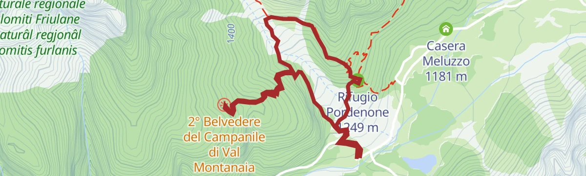
Featured route
Belvederi del Campanile di Val Montanaia
A short climb from Cimolais to viewpoints facing the Campanile di Val Montanaia, the slender rock spire of the Friulian Dolomites.
Planning a trip to Cimolais?
Everything else Friuli Venezia Giulia has, in one place


Take Cimolais with you into the mountains
Every route on this page with 3D terrain, GPX navigation and offline maps — including the valleys with no signal.
Data sources
- Official website: turismofvg.it ↗
- Routes and highlights: Parcodolomitifriulane, Dolomitiprealpi, Dolomiti Bellunesi - The Mountains of Venice
- Published as open data by the tourist boards named above.
- Region summary generated from the board's own material.
