







Curated by Consorzio Val di Zoldo Turismo
Cibiana di Cadore
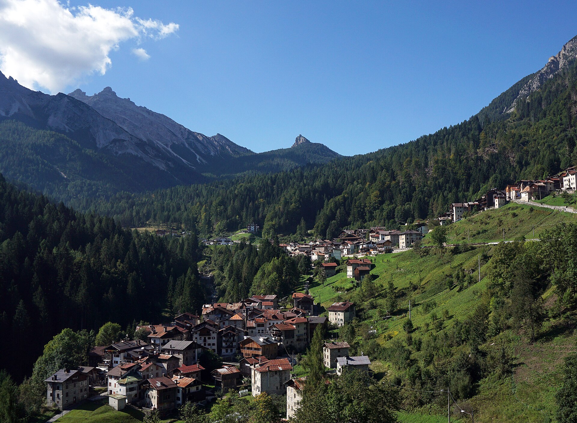
Cadore village on the road to the Duran pass, its houses painted with murals of the trades their people once followed.
Photo: kallerna · CC BY-SA 4.0 licence
- 5Highlights
- 5Routes
- Featured summit · Monte Rite
Highlights
All 5 from neighbouring places
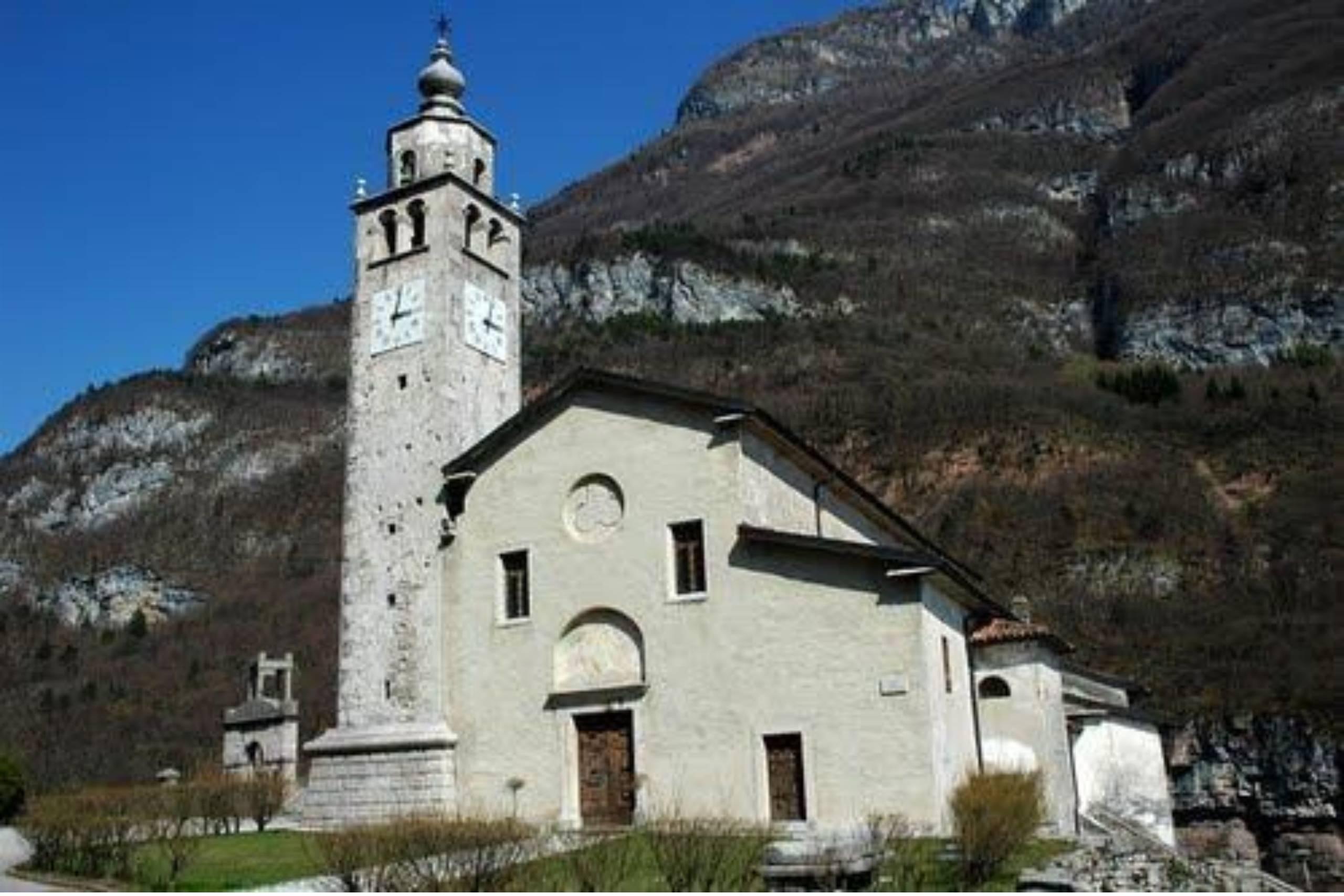
Chiesa di San Quirico e Giulitta in Castellavazzo
10.5 km away, in Longarone
A church at Castellavazzo, above the Piave north of Longarone, dedicated to the martyrs Quirico and Giulitta.
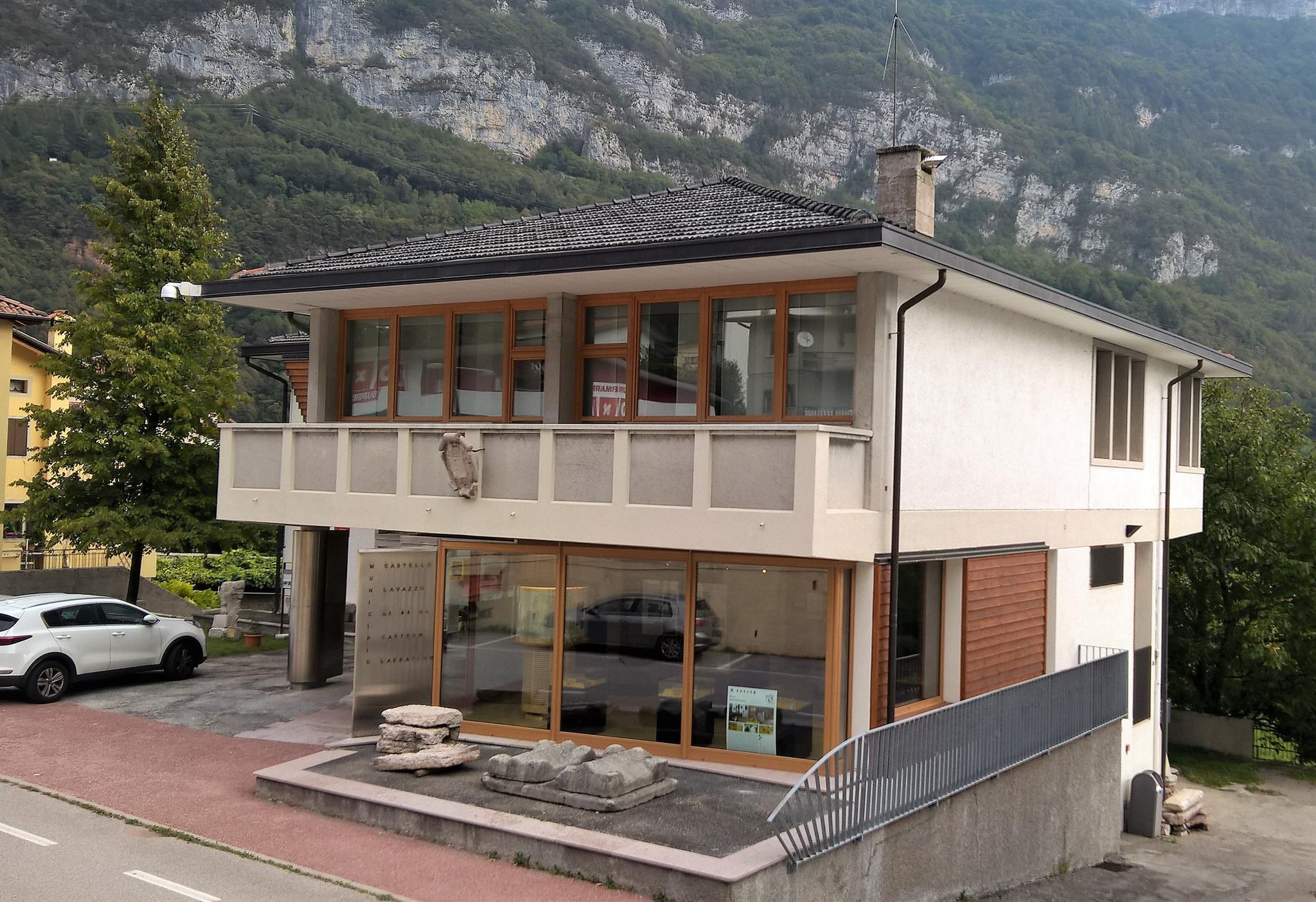
Museo della Pietra e degli Scalpellini
10.7 km away, in Longarone
A museum at Castellavazzo, in the comune of Longarone, on the local building stone and the quarrymen and stonecutters who worked it.
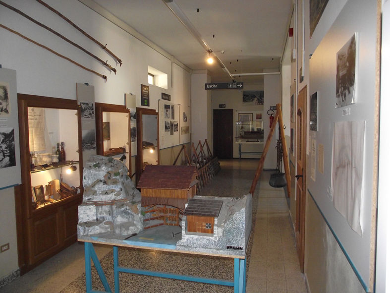
Museo delle Zattere e degli Zattieri
11.5 km away, in Longarone
A museum on the raftsmen who floated Cadore timber down the Piave to Venice.
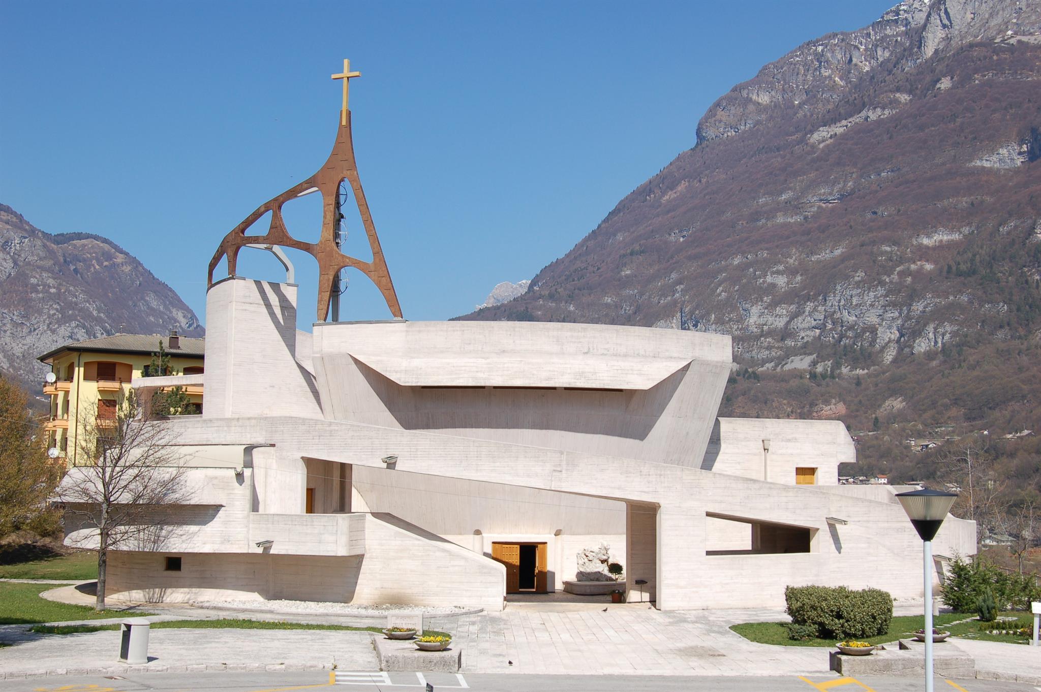
Chiesa del Michelucci
12.2 km away, in Longarone
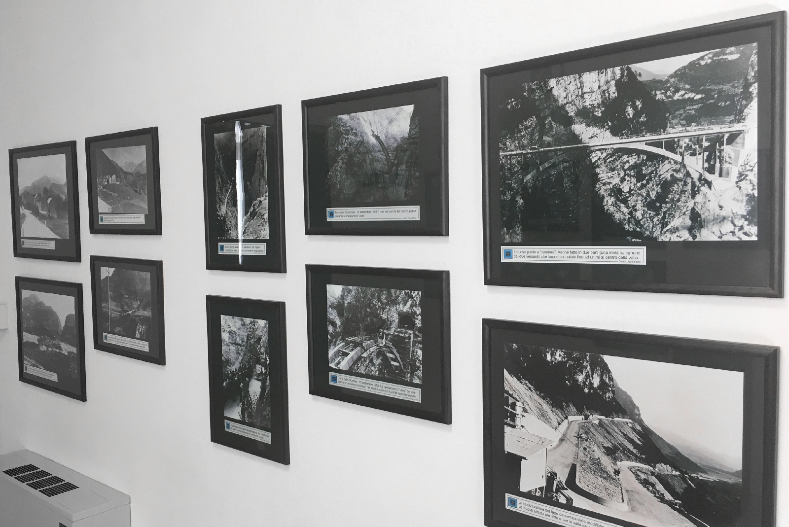
The parish church of Longarone, rebuilt to Giovanni Michelucci's design after the 1963 Vajont disaster, above the Piave.
Museo Longarone Vajont Attimi di Storia
12.3 km away, in Longarone
A museum at Longarone on the night of 9 October 1963, when the Vajont landslide destroyed the town.
Nothing of this kind in Cibiana di Cadore.
Routes
15 from neighbouring places
Zoldano Loop - Stage 6: Rif. Remauro - Forno di Zoldo
A stage crossing Forcella delle Ciavazole on forest roads and paths, passing the Casera Bosconero hut on the way down to Forno di Zoldo.
- 11.4 km
- Distance
- 626 m
- Ascent
- 5 h 47 min
- Duration
- 124
- Check-ins
 Passo Cibiana 1 530 m
 Rifugio Casèra Bosconero 1 457 m
- Malga Dèona 1 530 m
- Rifugio Remauro 1 536 m
- Forcella delle Ciavazòle 1 994 m
Open route Consorzio Val di Zoldo TurismoZoldano Loop - Stage 5: Venezia Hut - Remauro Hut
A long stage from the Venezia hut over the Rutorto pass on an old military road towards Zoppè.
- 18.9 km
- Distance
- 581 m
- Ascent
- 6 h 14 min
- Duration
- 291
- Check-ins
 Col Botei 1 616 m
- Rifugio "Alba Maria De Luca" Venezia 1 936 m
- Passo Rutorto 1 931 m
- Passo Cibiana 1 530 m
- Rifugio Remauro 1 536 m
- Forcella Deona 2 054 m
- +6
Open route Consorzio Val di Zoldo TurismoRoad Bike Alleghe 5 - Pelmo Croda da Lago loop
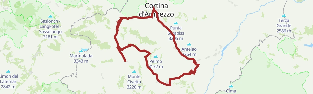
A big road loop from Alleghe with three Dolomite passes, Staulanza, Cibiana and Falzarego, and a string of valley villages in between.
- 118.4 km
- Distance
- 2 931 m
- Ascent
- 13 h 16 min
- Duration
- 783
- Check-ins
- Falzarego Pass 2 105 m
- Passo Staulanza 1 766 m
- Bar Bazar 2 106 m
- Rifugio Passo Staulanza 1 770 m
- Strobel 2 060 m
- Rifugio Monte Pelmo 1 520 m
- +22
Open route Consorzio Operatori Turistici Alleghe - CaprileCibiana di Cadore and Mount Rite
A long loop from Pianezze over the Cibiana pass to the summit of Monte Rite, a Dolomite lookout on an old fort, returning by Baita Deona.
- 24.5 km
- Distance
- 1 149 m
- Ascent
- 8 h 35 min
- Duration
- 197
- Check-ins
- Monte Rite 2 183 m
- Rifugio Dolomites Monte Rite 2 183 m
- Passo Cibiana 1 530 m
- Malga Dèona 1 530 m
- Rifugio Remauro 1 536 m
- Forcella Deona 2 054 m
- +2
Open route Dolomiti Bellunesi - The Mountains of VeniceCibiana Pass
A road climb from the Val di Zoldo to the Cibiana pass and Cadore, above the village of Cibiana with its murals and its Messner mountain museum.
- 21.7 km
- Distance
- 834 m
- Ascent
- 7 h 6 min
- Duration
- 87
- Check-ins
Open route Dolomiti Bellunesi - The Mountains of VeniceTO THE VACH POND by E-BIKE (01)
7.7 km away, in Val di Zoldo
A ride into the Val Barance below the Tàmer and San Sebastiano peaks, to a pond under a waterfall, returning through the village of Colcervèr.
- 12.2 km
- Distance
- 559 m
- Ascent
- 1 h 37 min
- Duration
- 19
- Check-ins
Open route Consorzio Val di Zoldo TurismoTHE ANCIENT FOREST
7.9 km away, in Val di Zoldo
An easy walk through old-growth forest on the slopes of the Val di Zoldo.
- 4.5 km
- Distance
- 166 m
- Ascent
- 1 h 28 min
- Duration
Open route Consorzio Val di Zoldo TurismoPECOL - BAITA CIVETTA by E-BIKE (11)
13.1 km away, in Val di Zoldo
An easy ride through meadow and larch wood to Le Palanche on the Maè, where a picnic area sits just short of the baita at 1,578 m.
- 5.4 km
- Distance
- 233 m
- Ascent
- 42 min
- Duration
- 41
- Check-ins
Open route Consorzio Val di Zoldo TurismoCIVETTA E-BIKE ROUTE (14)
13.1 km away, in Val di Zoldo
An e-bike loop in the Ski Civetta area up to Cima Fertazza at over 2,000 m, calling at Rifugio Col dei Baldi and Malga Staulanza.
- 24.0 km
- Distance
- 1 084 m
- Ascent
- 3 h 9 min
- Duration
- 394
- Check-ins
- Col Dei Baldi 1 918 m
- Cima dei Viai - Cima Fertazza 2 101 m
- Casera di Pioda 1 820 m
- Ristoro Belvedere - Cima Fertazza 2 076 m
- Rifugio Col dei Baldi 1 922 m
- Ristoro La Ciasela 2 050 m
- +4
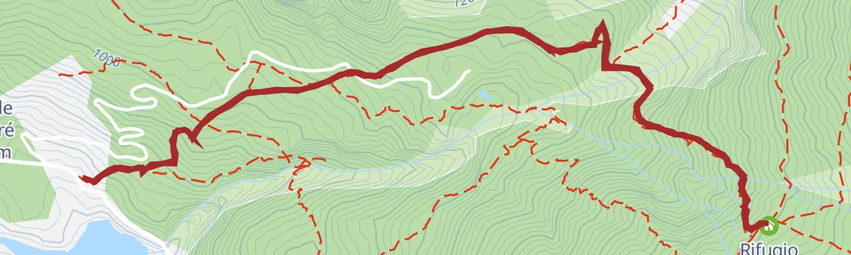
Open route Consorzio Val di Zoldo TurismoHike to Rifugio Bosconero
5.4 km away, in Val di Zoldo
A varied climb through thick wood to the Bosconero hut, which looks across at the Civetta and has hosted University of Padua waste and water research since 2006.
- 6.7 km
- Distance
- 651 m
- Ascent
- 4 h 1 min
- Duration
- 33
- Check-ins
Open route Consorzio Val di Zoldo TurismoValley Ring - Pieve - Costapiana Shelter
6.3 km away, in Valle di Cadore
A long ring from Valle di Cadore along the Dolomites cycleway to Pieve, then up by Pozzale and forest road to Forcella Antracisa.
- 23.8 km
- Distance
- 1 164 m
- Ascent
- 3 h 15 min
- Duration
- 48
- Check-ins
Open route Dolomiti Bellunesi - The Mountains of VeniceRing Vodo - Vinigo - Venas di Cadore
4.9 km away, in Vodo Cadore
A loop from Villa Gaia off the Dolomites cycle path to the Sant'Anna fort, built between 1908 and 1917, and up to the Col Pecolines viewpoint.
- 20.5 km
- Distance
- 714 m
- Ascent
- 6 h 34 min
- Duration
- 1
- Check-ins
Open route Dolomiti Bellunesi - The Mountains of VeniceFORNO DI ZOLDO – VILLA in E-BIKE (04)
7.8 km away, in Val di Zoldo
A tour through the lower Val di Zoldo hamlets, past the tenth-century church of San Floriano at Pieve and up the Strada dell'Acqua mule track.
- 10.8 km
- Distance
- 490 m
- Ascent
- 1 h 25 min
- Duration
- 2
- Check-ins
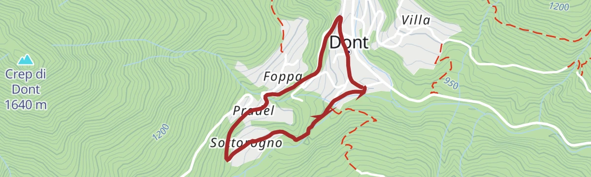
Open route Consorzio Val di Zoldo TurismoTHE VILLAGES OF SILENCE
9.9 km away, in Val di Zoldo
A short walk linking a few of the near-empty old hamlets on the slopes of the Val di Zoldo.
- 2.1 km
- Distance
- 82 m
- Ascent
- 41 min
- Duration
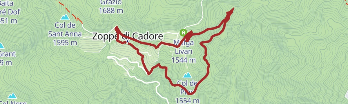
Open route Consorzio Val di Zoldo TurismoZOPPE’ DI CADORE – COL DEL PIAN by E-BIKE (06)
7.4 km away, in Zoppè di Cadore
A short easy loop above the village on the Lizon forest road, past Piol Alto and Malga Livan, with the Laghetto dei Piridei close by.
- 5.4 km
- Distance
- 218 m
- Ascent
- 41 min
- Duration
- 17
- Check-ins
Open route Consorzio Val di Zoldo TurismoPAZ stage 6: Villanova - Zoppè di Cadore
6.5 km away, in Val di Zoldo
From the old dairy at Villanova, now a cultural association, up a forest road and short switchbacks that turn slippery in the wet, towards Zoppè di Cadore.
- 6.0 km
- Distance
- 601 m
- Ascent
- 2 h 42 min
- Duration
- 1
- Check-ins
Open route Consorzio Val di Zoldo TurismoFORNO – ZOPPE’ - DONT by E-BIKE (09)
7.7 km away, in Val di Zoldo
A demanding circuit around Monte Punta, reaching Zoppè di Cadore below Monte Pelmo on tarmac and crossing the Forcella Tamai at 1,715 m.
- 21.1 km
- Distance
- 1 222 m
- Ascent
- 3 h 15 min
- Duration
- 4
- Check-ins
Open route Consorzio Val di Zoldo TurismoZoldo Ring - Stage 1: Le Bocole - Angelini Sora 'l sass Refuge
6.4 km away, in Val di Zoldo
From San Giovanni near the Pontesei lake, trail 531 climbs steeply beside the power station wall towards the Angelini hut at Sora 'l Sass.
- 9.4 km
- Distance
- 1 615 m
- Ascent
- 7 h 40 min
- Duration
- 26
- Check-ins
- Spiz Piccolo Belvedere 2 004 m
- Rifugio Giovanni Angelini 1 588 m
- Forcella di Col Pelos 1 900 m
- Casera Col Marsànch 1 290 m
Open route Consorzio Val di Zoldo TurismoDONT – CASERA BIDOCH by E-BIKE (02)
9.9 km away, in Val di Zoldo
A loop into the Valle di Goima to Casera Bidoch below Monte San Sebastiano, coming back down to the valley on the SP 347 road.
- 10.0 km
- Distance
- 510 m
- Ascent
- 1 h 24 min
- Duration
Open route Consorzio Val di Zoldo TurismoPAZ Stage 2: Colcerver - Dont
9.9 km away, in Val di Zoldo
From the small square at Colcerver by dirt road towards Col Baion, then CAI 539 through tall beech and conifer wood to Col de le Ole and down to Dont.
- 5.4 km
- Distance
- 177 m
- Ascent
- 2 h 2 min
- Duration
Open route Consorzio Val di Zoldo Turismo
No routes of this kind in Cibiana di Cadore yet.
The region's own picks

Featured route
Zoldano Loop - Stage 6: Rif. Remauro - Forno di Zoldo
A stage crossing Forcella delle Ciavazole on forest roads and paths, passing the Casera Bosconero hut on the way down to Forno di Zoldo.
Planning a trip to Cibiana di Cadore?
Everything else Veneto has, in one place


Take Cibiana di Cadore with you into the mountains
Every route on this page with 3D terrain, GPX navigation and offline maps — including the valleys with no signal.
Data sources
- Official website: italia.it ↗
- Routes and highlights: Consorzio Val di Zoldo Turismo, Dolomitiprealpi, Dolomiti Bellunesi - The Mountains of Venice, Consorzio Operatori Turistici Alleghe - Caprile
- Published as open data by the tourist boards named above.
- Region summary generated from the board's own material.
