
Curated by Sondrio e Valmalenco
Chiuro
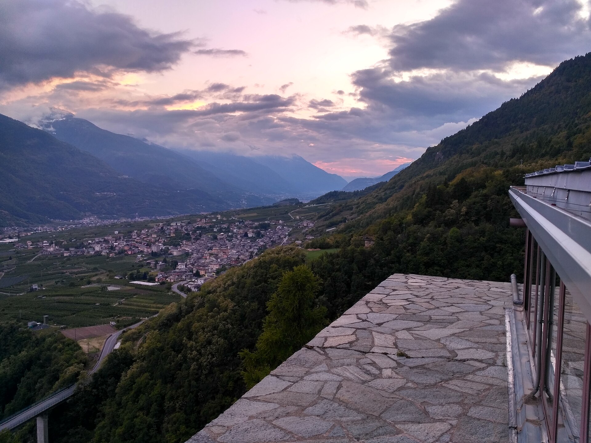
Valtellina wine village on the right bank of the Adda, with the Castionetto tower on the terraces above.
- 2Highlights
- 12Routes
Highlights
13 from neighbouring places
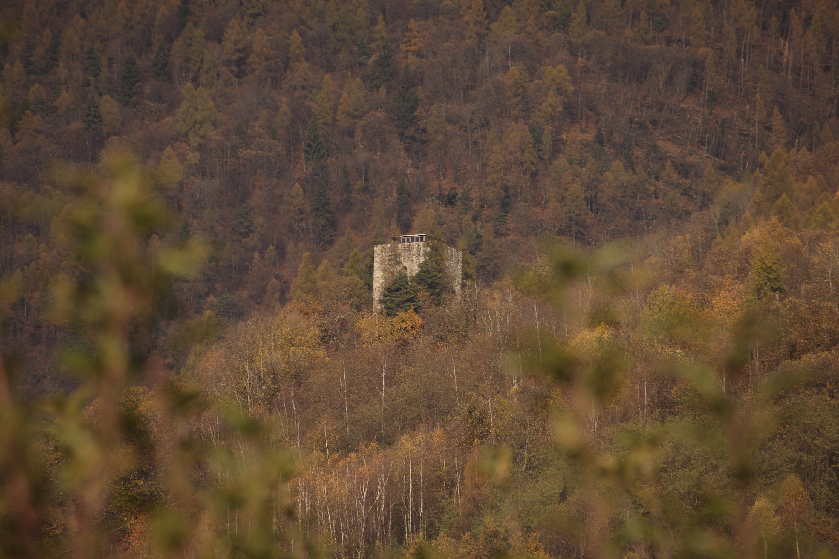
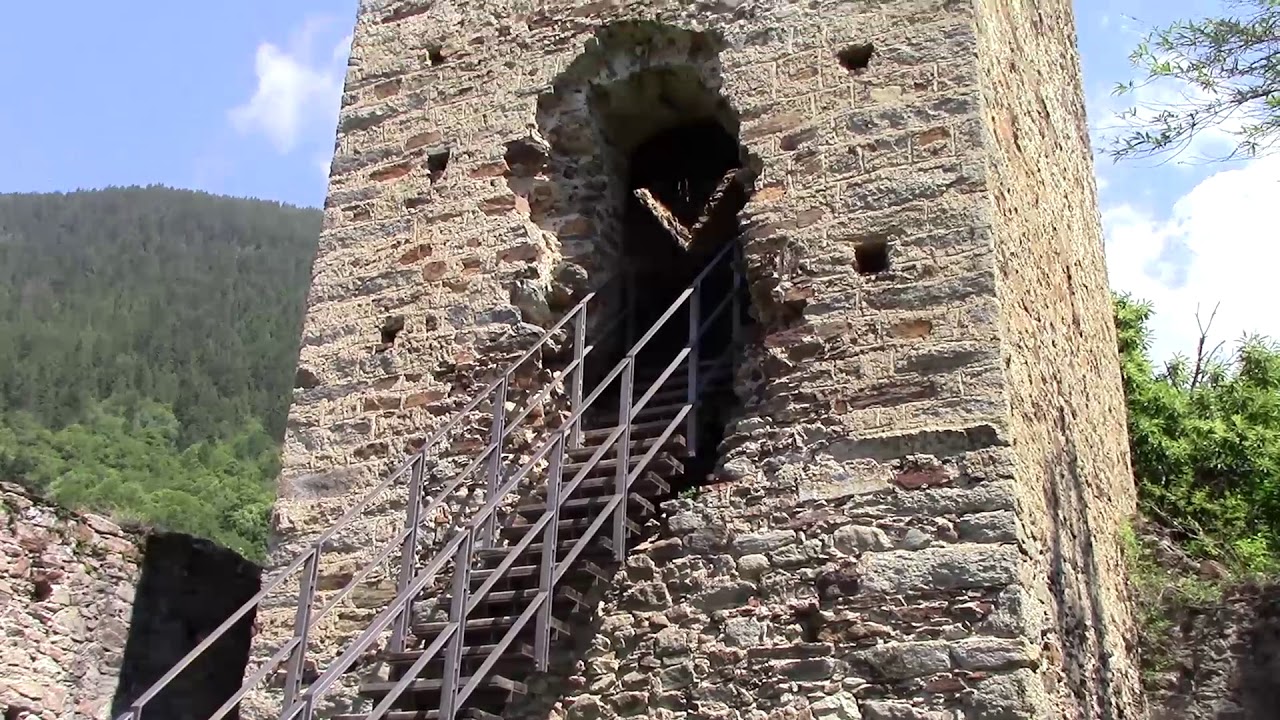
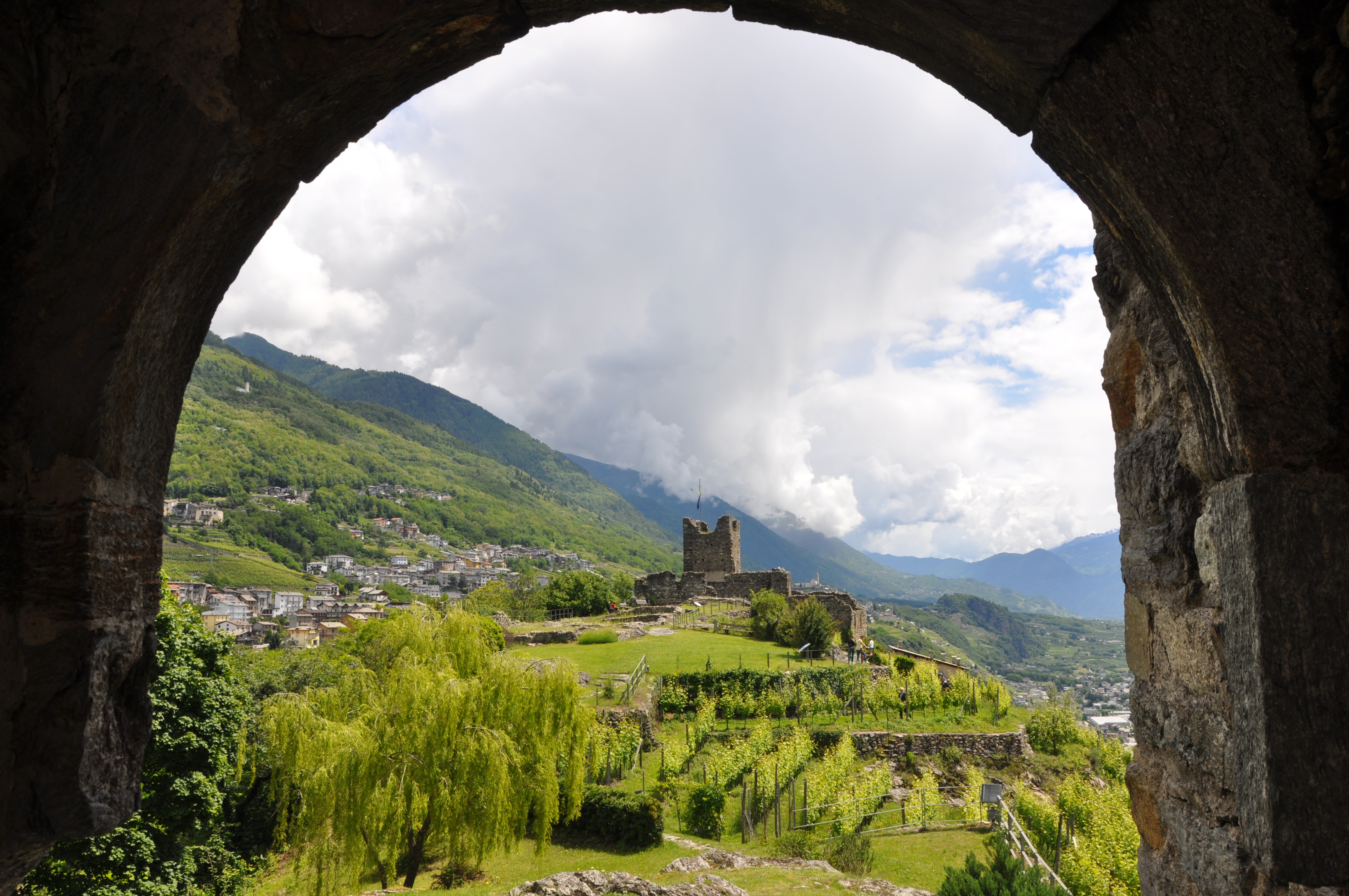
Torre di Castionetto
A medieval tower above Chiuro, on the vineyard terrace facing the Orobie.
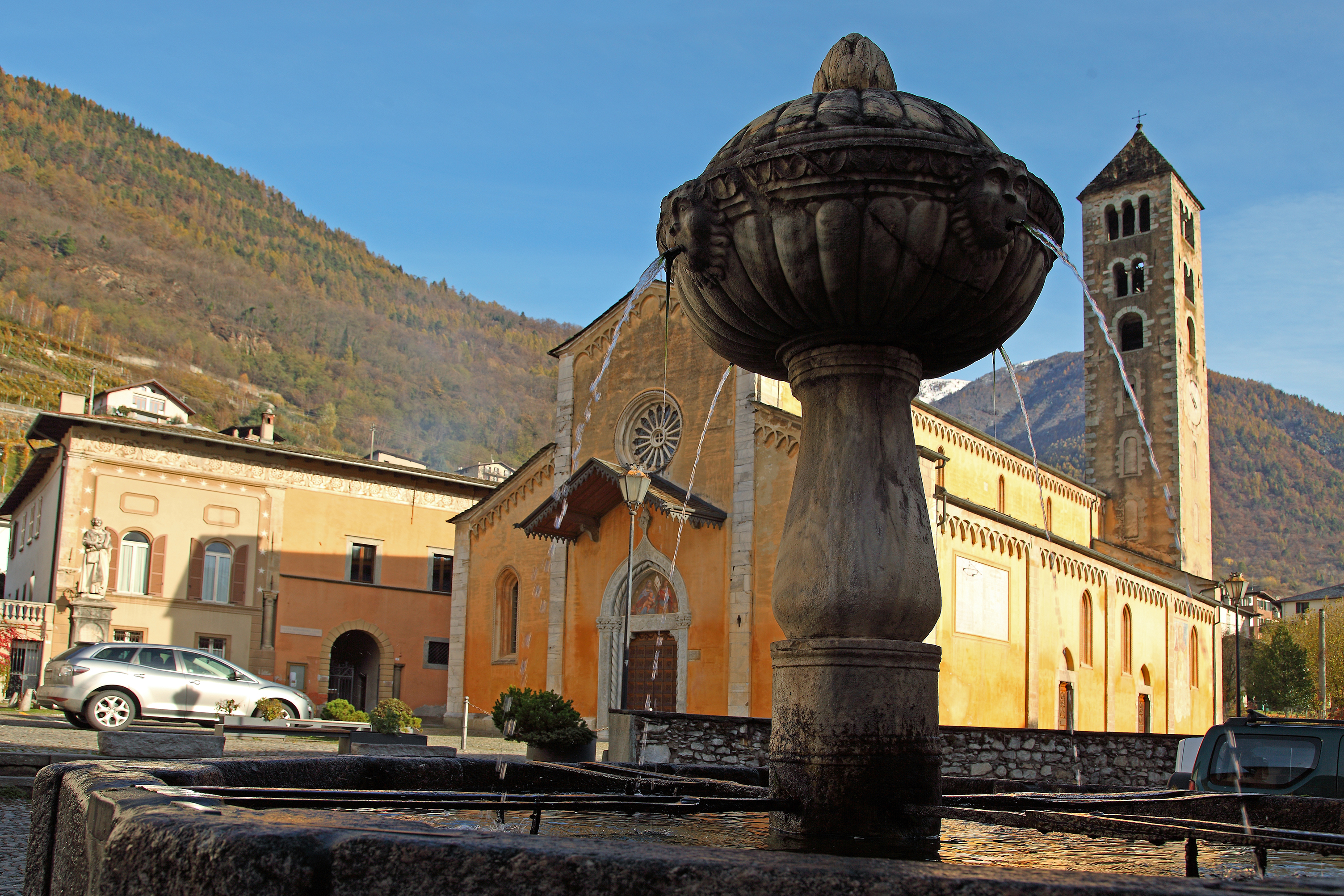
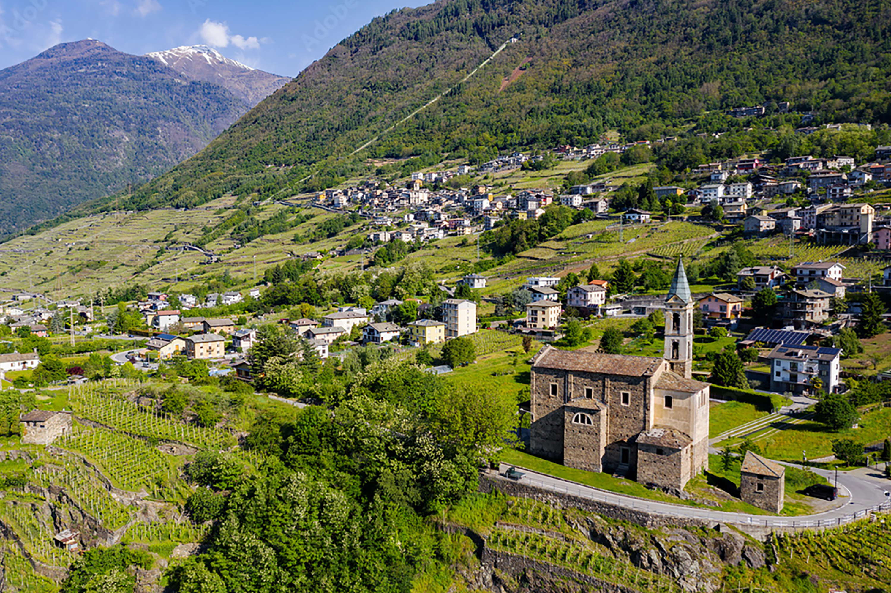
Chiesa dei SS. Giacomo e Andrea
Chiuro's parish church, among the Valtellina vineyards on the right bank of the Adda.
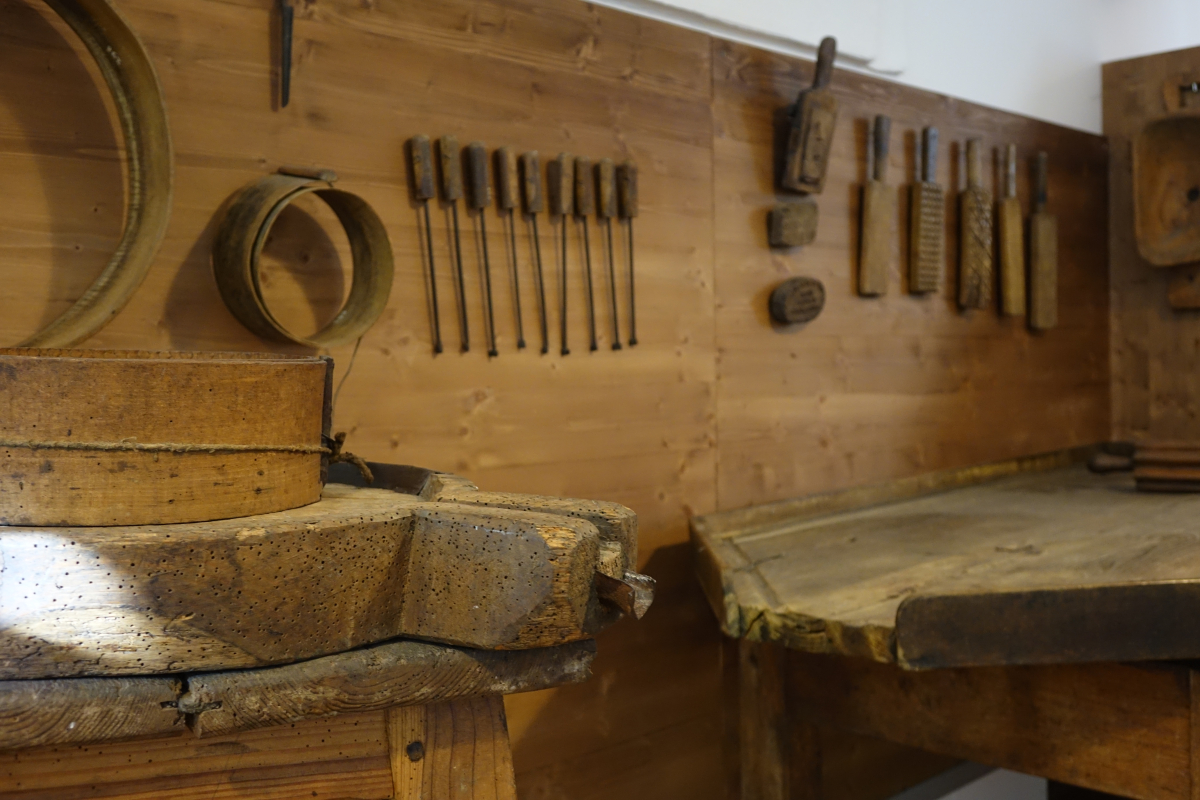
Museo parrocchiale ed etnografico di Ponte in Valtellina
5.6 km away, in Ponte in Valtellina
A parish and folk museum at Ponte in Valtellina: church silver beside the tools of the terraces.
Chiesa di San Maurizio
5.8 km away, in Ponte in Valtellina
Ponte in Valtellina's parish church, with a Renaissance front and a tall campanile.
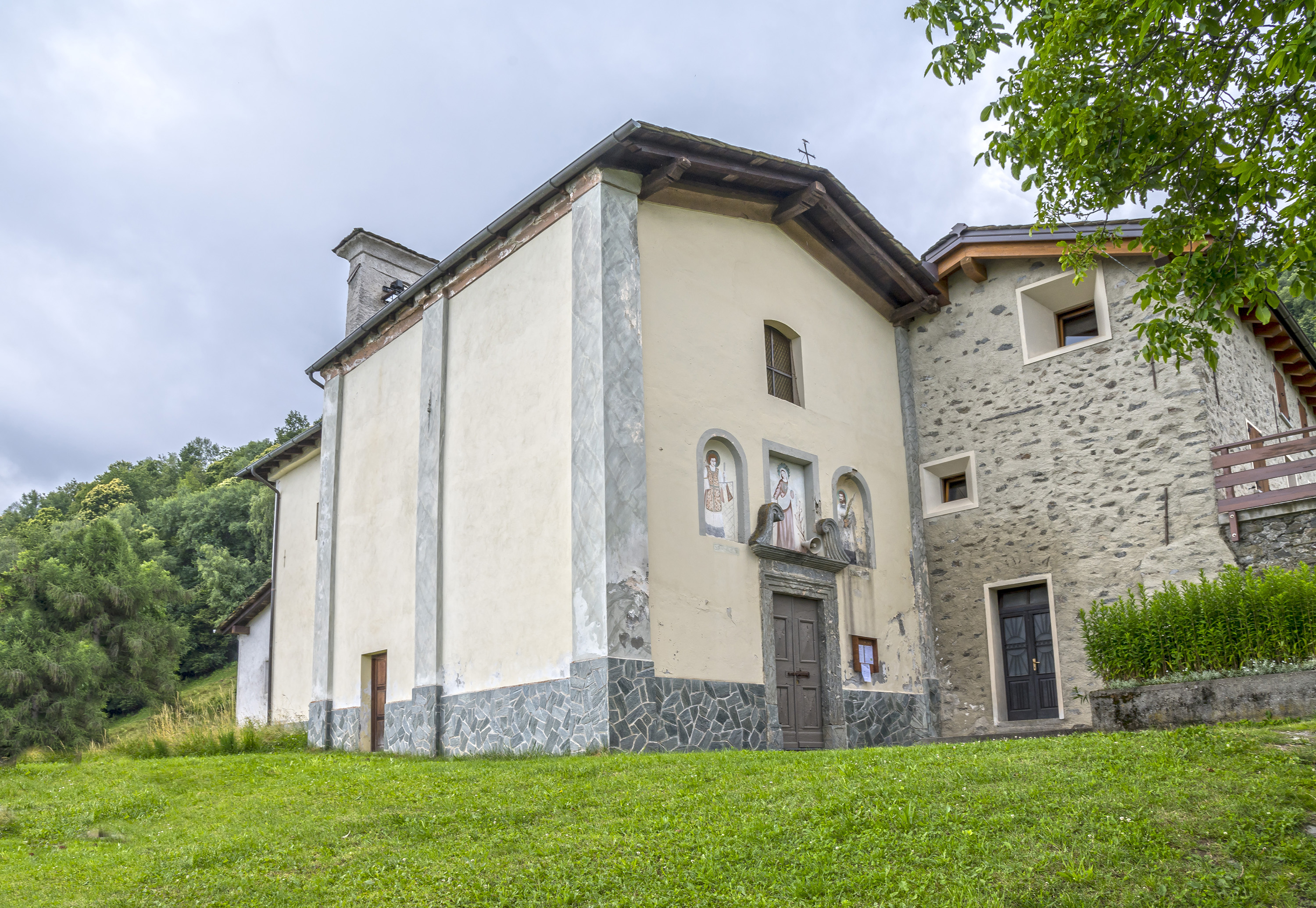
Chiesa dei Santi Rocco, Sebastiano e Cristoforo
5.8 km away, in Ponte in Valtellina
A votive church at Ponte in Valtellina, raised against plague and frescoed inside.
Rifugi all'Alpe Mara
8.2 km away, in Montagna in Valtellina
Huts on the Alpe Mara above Montagna in Valtellina, on the Orobie slope.
Chiesa di San Lorenzo
9.2 km away, in Ponte in Valtellina
A church on the Valtellina slope below Ponte, among the vineyard terraces.
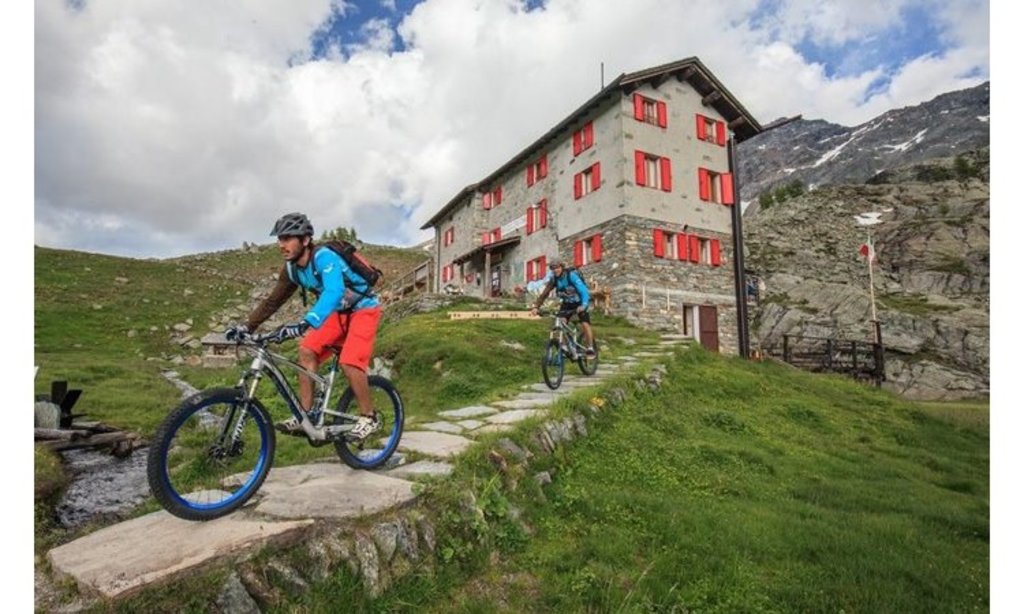
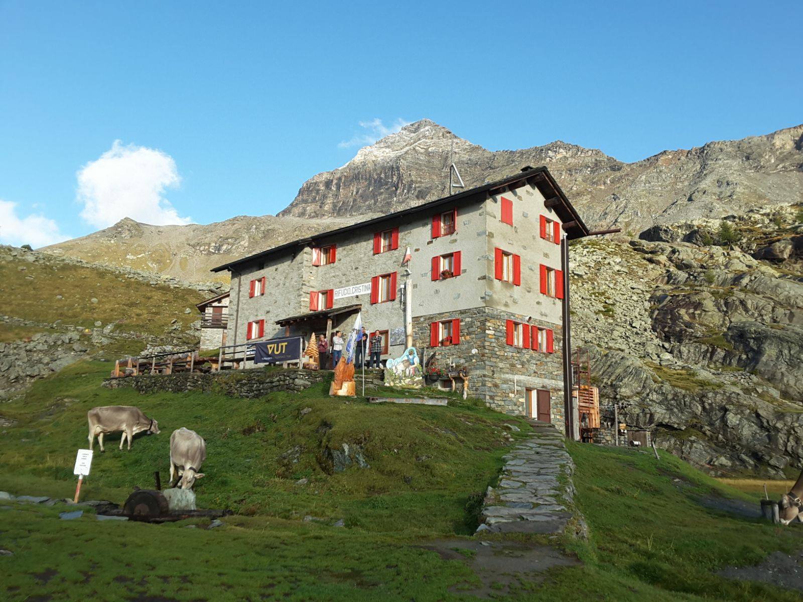
Rifugio Cristina
9.4 km away, in Lanzada
A refuge on the Alpe Prabello above Lanzada, in the Valmalenco, on the way to the Passo Campagneda and the Pizzo Scalino.
Rif. Cristina 2287m
9.5 km away, in Lanzada
A hut at 2,287 m on the Alpe Prabello, on the path to the Passo Campagneda.
Torre di Mancapane
9.7 km away, in Montagna in Valtellina
A watchtower on the slope above Montagna in Valtellina, part of the valley's medieval signal chain.
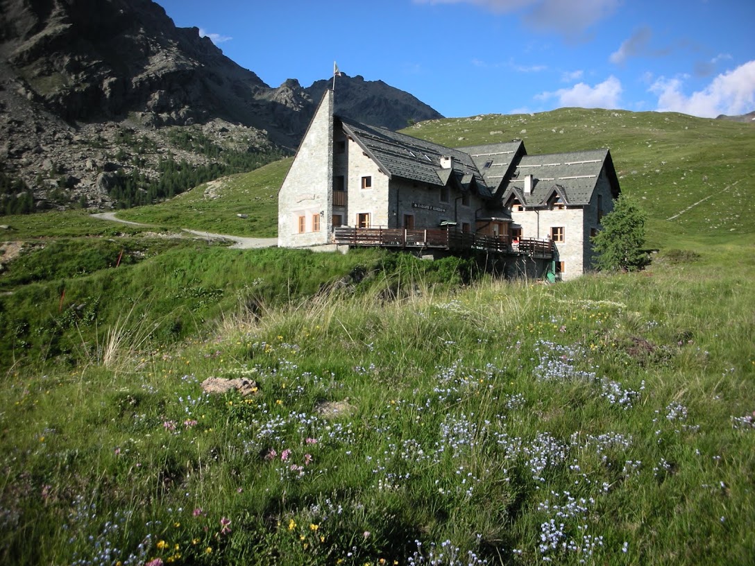
Rifugio Ca' Runcasch 2170 m
10.6 km away, in Lanzada
A hut at 2,170 m in the Ca' Runcasch basin above Lanzada, in the Valmalenco.
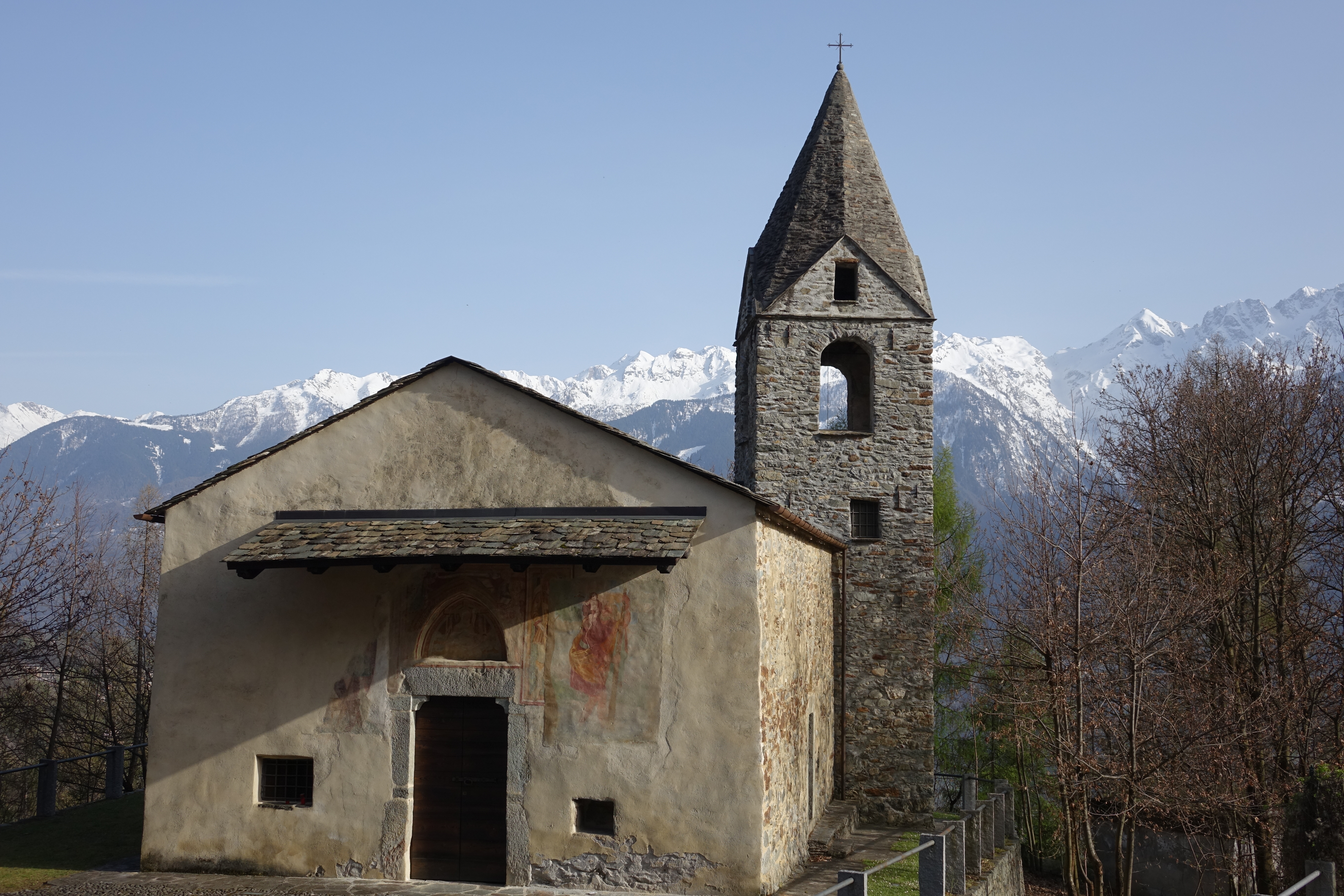
Chiesa di Sant'Antonio Abate
11.1 km away, in Montagna in Valtellina
A church beside the Grumello castle rock above Montagna in Valtellina.
Castel Grumello
11.2 km away, in Montagna in Valtellina
A twin-towered ruined castle on a rock spur above the Valtellina, with vineyards below.
La Via dei Terrazzamenti
11.4 km away, in Montagna in Valtellina
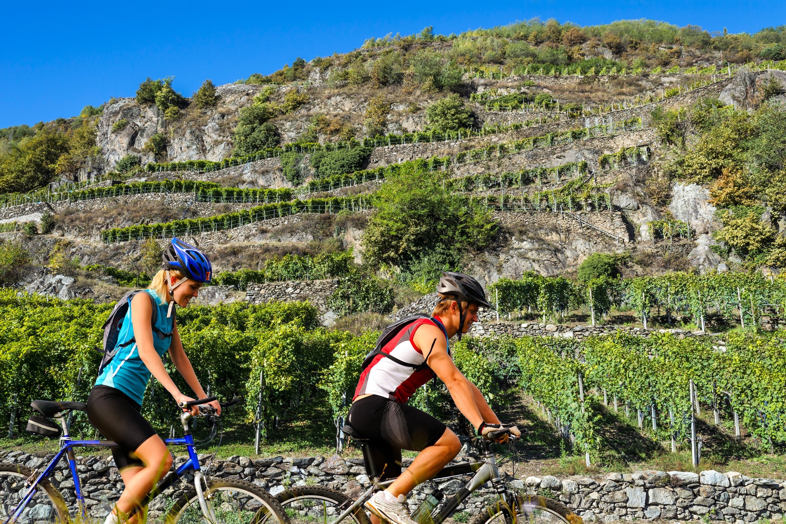
A marked route along the Valtellina's dry-stone vineyard terraces between Morbegno and Tirano.
Riserva Naturale Bosco dei Bordighi
11.5 km away, in Montagna in Valtellina
A riverside wood on the Adda near Sondrio, one of the last stretches of the valley's original forest.
 Historic site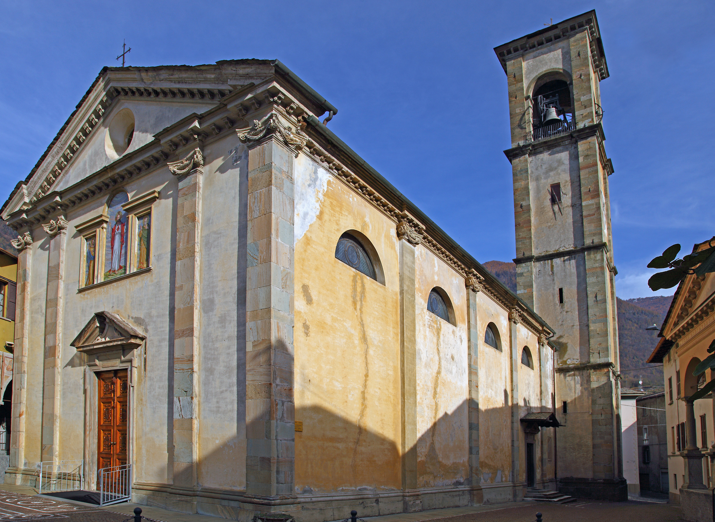
 Viewpoint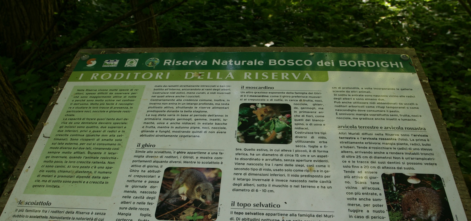
Nothing of this kind in Chiuro.
Routes
Valgella Loop
A loop through the dry-stone terraces above Teglio, among the Nebbiolo vineyards of the Valtellina wine road.
- 6.8 km
- Distance
- 296 m
- Ascent
- 2 h 20 min
- Duration
- 1
- Check-ins
Open route Valtellina OutdoorThe Vicima Valley
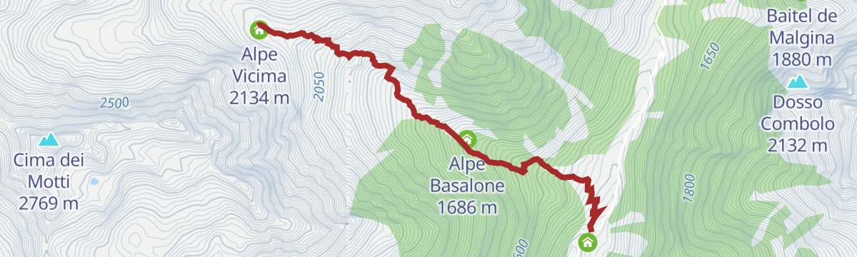
A climb from Campello up the Valfontana to the Selva pasture, then over a footbridge in the Vicima valley to the Basalone alp.
- 2.8 km
- Distance
- 721 m
- Ascent
- 2 h 35 min
- Duration
Open route Valtellina OutdoorSentiero Italia D28N - Stage Rifugio Cederna-Maffina Prato Valentino
A long, gently graded stage from the Cederna Maffina hut down the Fontana stream past the Furam waterfall and Sant'Antonio, then up to Dalico.
- 19.5 km
- Distance
- 598 m
- Ascent
- 6 h 56 min
- Duration
- 14
- Check-ins
 Baita del Sole 1 692 m
- Capanna Cederna-Maffina 2 583 m
- Rifugio Massimo Erler 1 400 m
- Alpe Campiascio 1 685 m
Open route Valtellina OutdoorChiuro, Castionetto, Dalico, San Gaetano (MTB-EMTB)
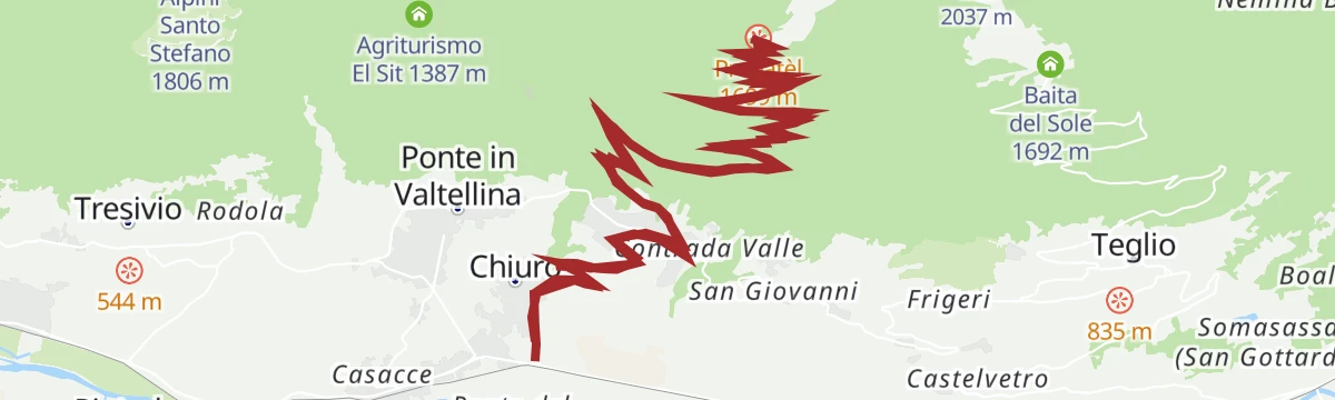
A steady 10 percent climb on the Rhaetian side above Chiuro, up through Castionetto and Dalico to the Prepatèl viewpoint at 1,699 m.
- 30.0 km
- Distance
- 1 334 m
- Ascent
- 3 h 55 min
- Duration
- 9
- Check-ins
Open route Valtellina OutdoorGravel rurale in Valtellina
A demanding gravel route from Sondrio to Villa di Tirano on the old terraced side of the Valtellina.
- 76.7 km
- Distance
- 1 775 m
- Ascent
- 8 h 28 min
- Duration
- 17
- Check-ins
- Ristorante da Silvio Fancoli 559 m
- Azienda Bondio Cristina 529 m
- Ristorante Belandin 675 m
- Convento di San Lorenzo 441 m
- Osteria al Sole 559 m
- Chiosco 286 m
- +3
Open route Valtellina OutdoorChiuro
A long climb from Chiuro in the Valtellina up through the terraced vineyards into the Val Fontana above.
- 29.6 km
- Distance
- 1 353 m
- Ascent
- 10 h 16 min
- Duration
- 9
- Check-ins
Ponte, Val Fontana (MTB-EMTB)
A ride from the Valtellina floor into Val Fontana, on tarmac then dirt past Sant'Antonio to Rifugio Massimo Erler and Alpe Campiascio at 1,685 m.
- 34.2 km
- Distance
- 1 406 m
- Ascent
- 4 h 22 min
- Duration
Open route Valtellina OutdoorDelle Frazioni
A long ride from Chiuro up to Teglio on quiet back roads, dropping to Tresenda and returning on the Adda cycle path.
- 26.4 km
- Distance
- 531 m
- Ascent
- 2 h 51 min
- Duration
- 1
- Check-ins
- Agriturismo Fracia 428 m
 Lago di Somasassa 700 m
Open route Valtellina OutdoorLa Via dei Terrazzamenti
A stretch of the terraces route above Chiuro, following the drystone walls that carry the Valtellina vineyards.
- 33.6 km
- Distance
- 1 008 m
- Ascent
- 10 h 27 min
- Duration
- 2
- Check-ins
Ponte, Val' Arigna, Foppe, Prataccio (MTB-EMTB)
A climb into Val d'Arigna on the Orobie side, gentle tarmac as far as the Armisa power station and then a steep dirt and concrete ramp above it.
- 22.3 km
- Distance
- 1 138 m
- Ascent
- 3 h 8 min
- Duration
Open route Valtellina OutdoorPonte in Valtellina
A road and track climb from the station at Ponte into the Val d'Arigna, up to the Armisa power station in the Orobie.
- 34.2 km
- Distance
- 1 603 m
- Ascent
- 11 h 58 min
- Duration
Sentiero del Sole
The section of trail 302 from Dalico to Santa Maria, crossing the Valfontana, the Rhon valley and the Val Rogna on the sunny Valtellina side.
- 20.7 km
- Distance
- 971 m
- Ascent
- 8 h 17 min
- Duration
Open route Valtellina Outdoor





No routes of this kind in Chiuro yet.
Planning a trip to Chiuro?
Everything else Lombardy has, in one place


Take Chiuro with you into the mountains
Every route on this page with 3D terrain, GPX navigation and offline maps — including the valleys with no signal.
Data sources
- Official website: sondrioevalmalenco.it ↗
- Routes and highlights: Sondrio e Valmalenco, Valtellina Outdoor, YesAlps
- Published as open data by the tourist boards named above.
- Region summary generated from the board's own material.
