
















Curated by Valtellina Outdoor
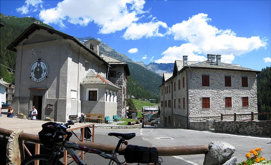
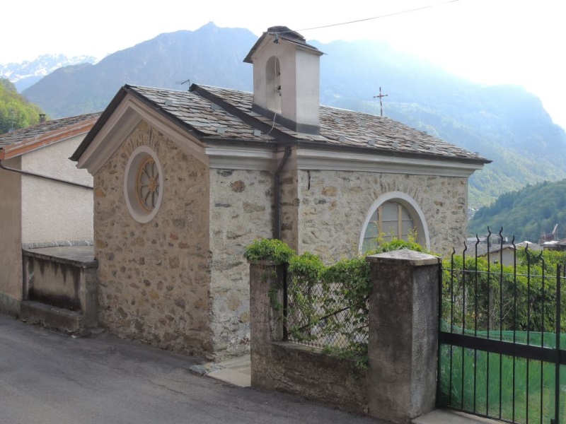
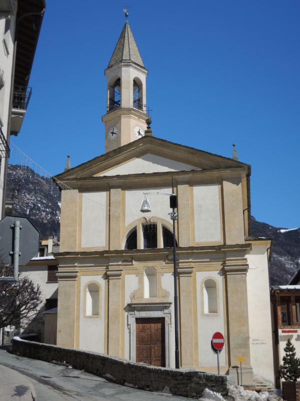
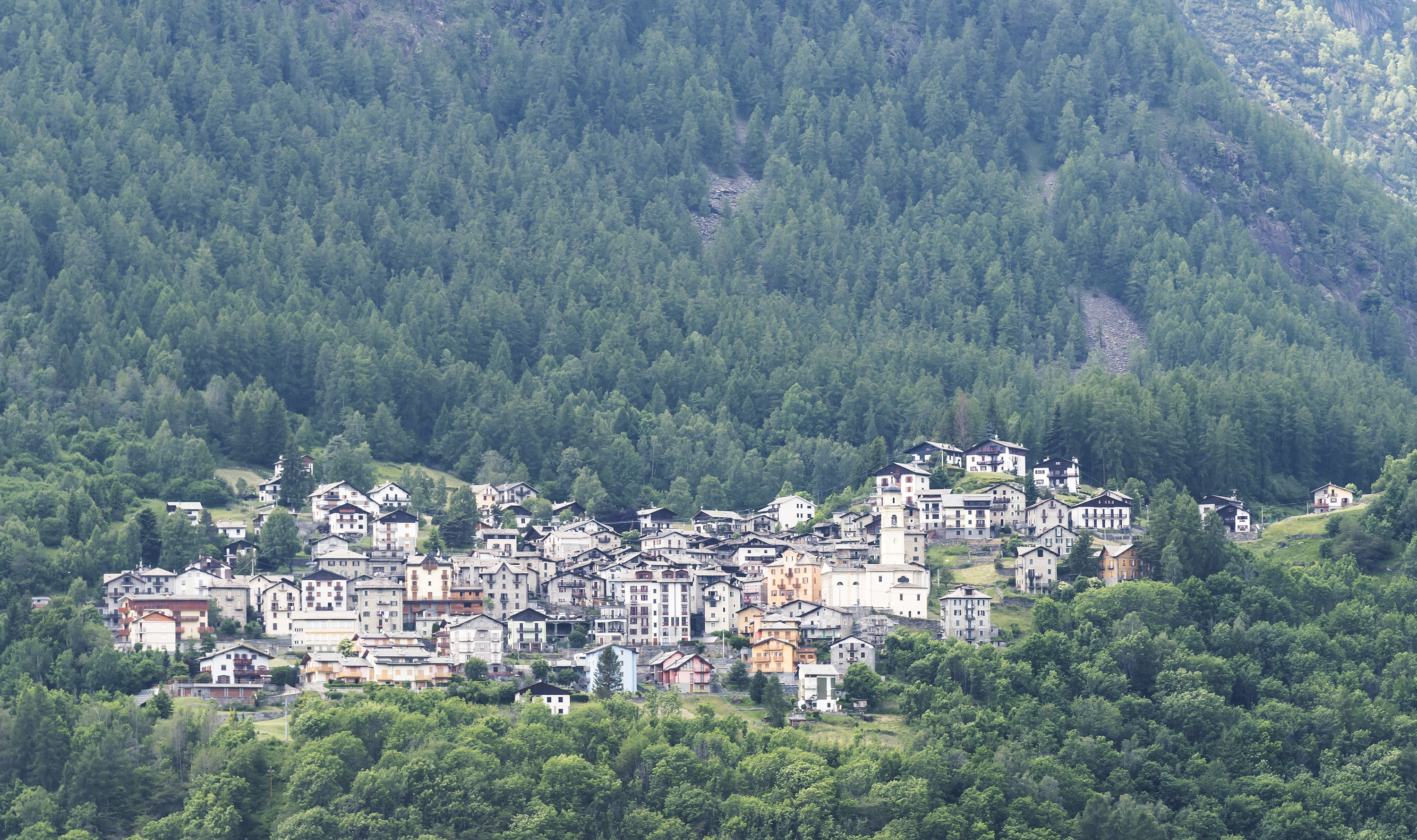
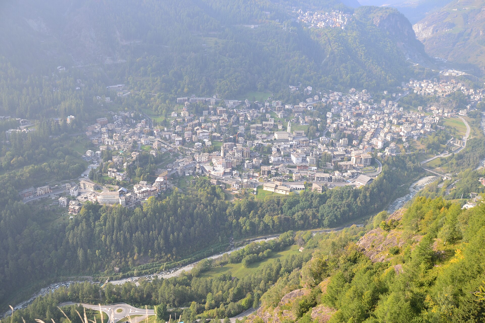
Chiesa in Valmalenco
Head village of the Valmalenco, ringed by the Disgrazia and Bernina refuges and the serpentine quarries that roofed the whole valley.
Photo: Gaggi Luca 76 · CC BY 3.0 licence
- 12Highlights
- 45Routes
- Featured summit · Sasso Bianco
Highlights
3 from neighbouring places
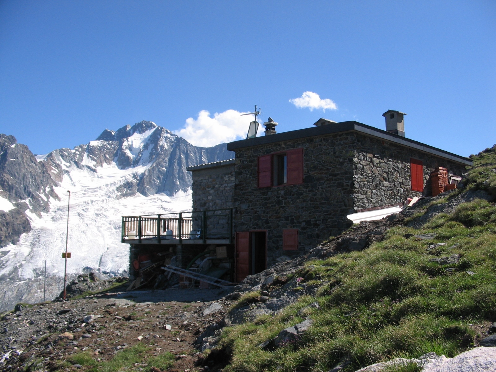
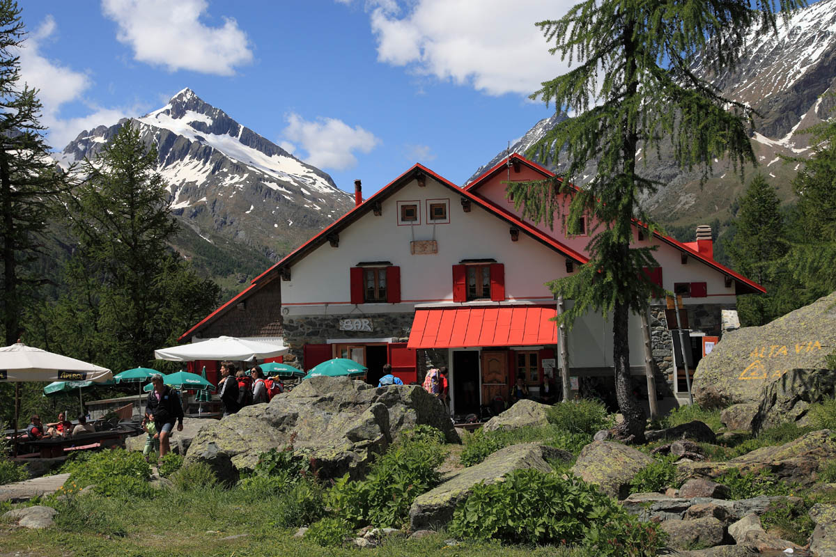
Rif. Del Grande Camerini 2600m
A hut at 2,600 m below the Monte Disgrazia, on the Sentiero Roma at the head of the Valmalenco.
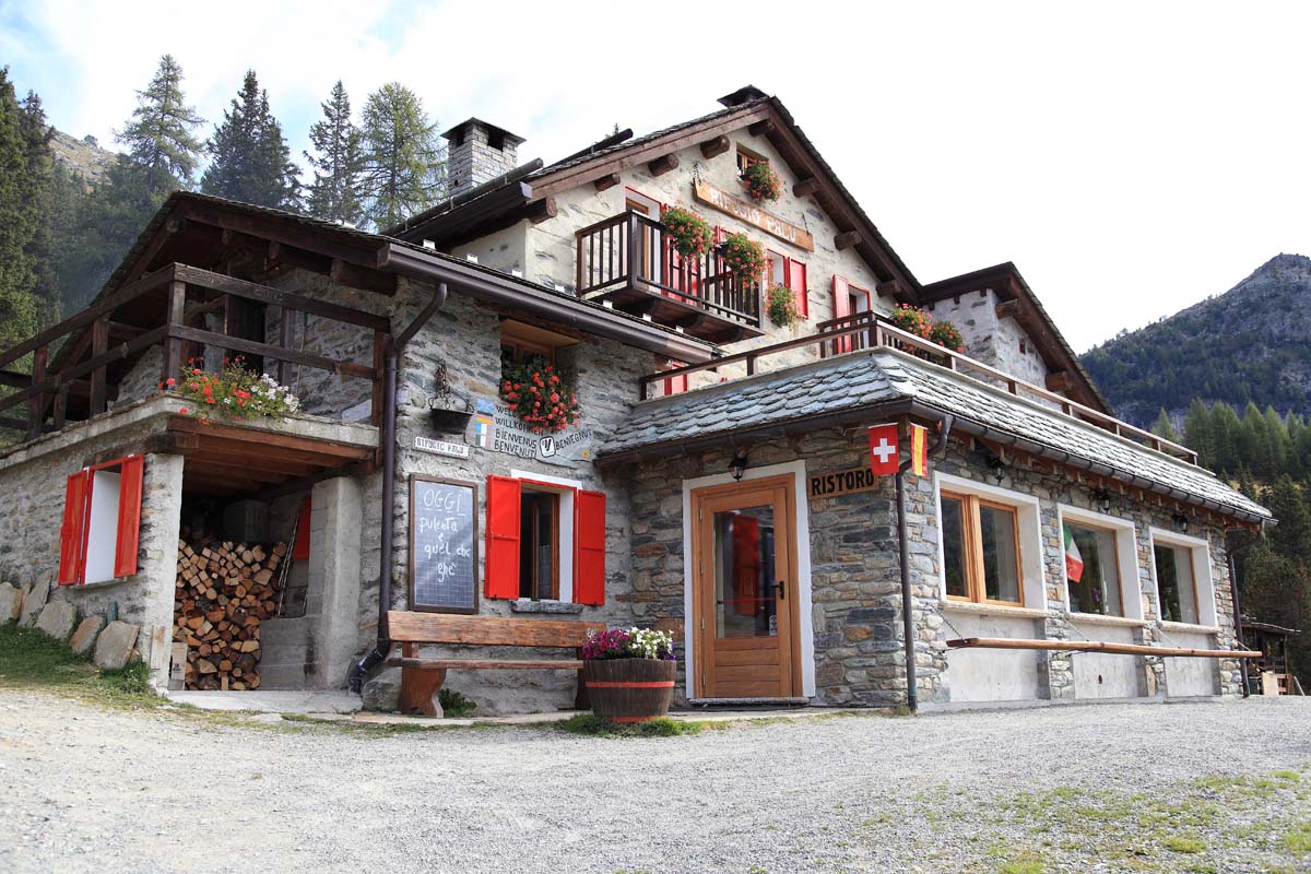
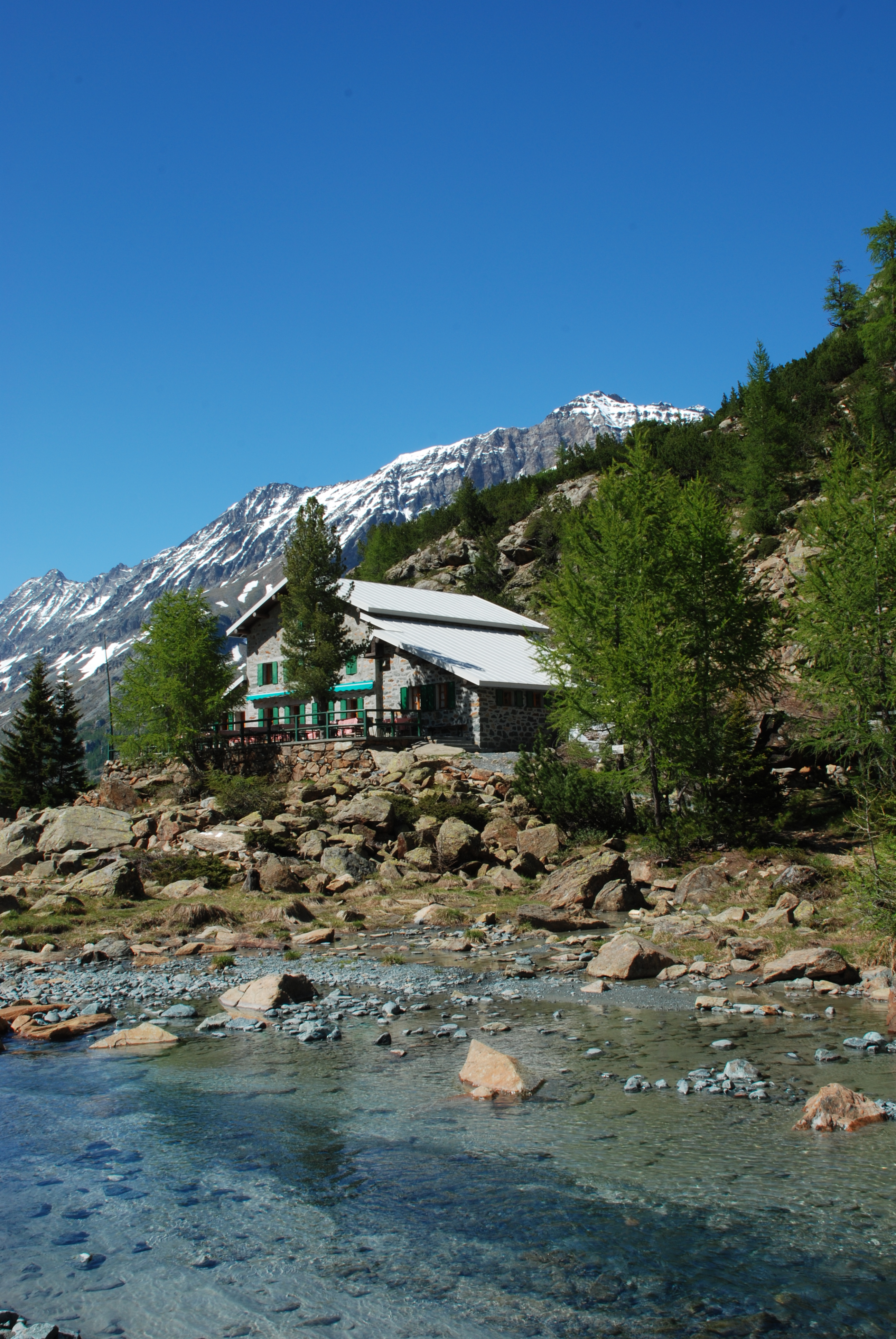
Rif. Lago Palù 1965m
A hut beside the Palù lake at 1,965 m, in larch woods reached by chairlift or footpath.
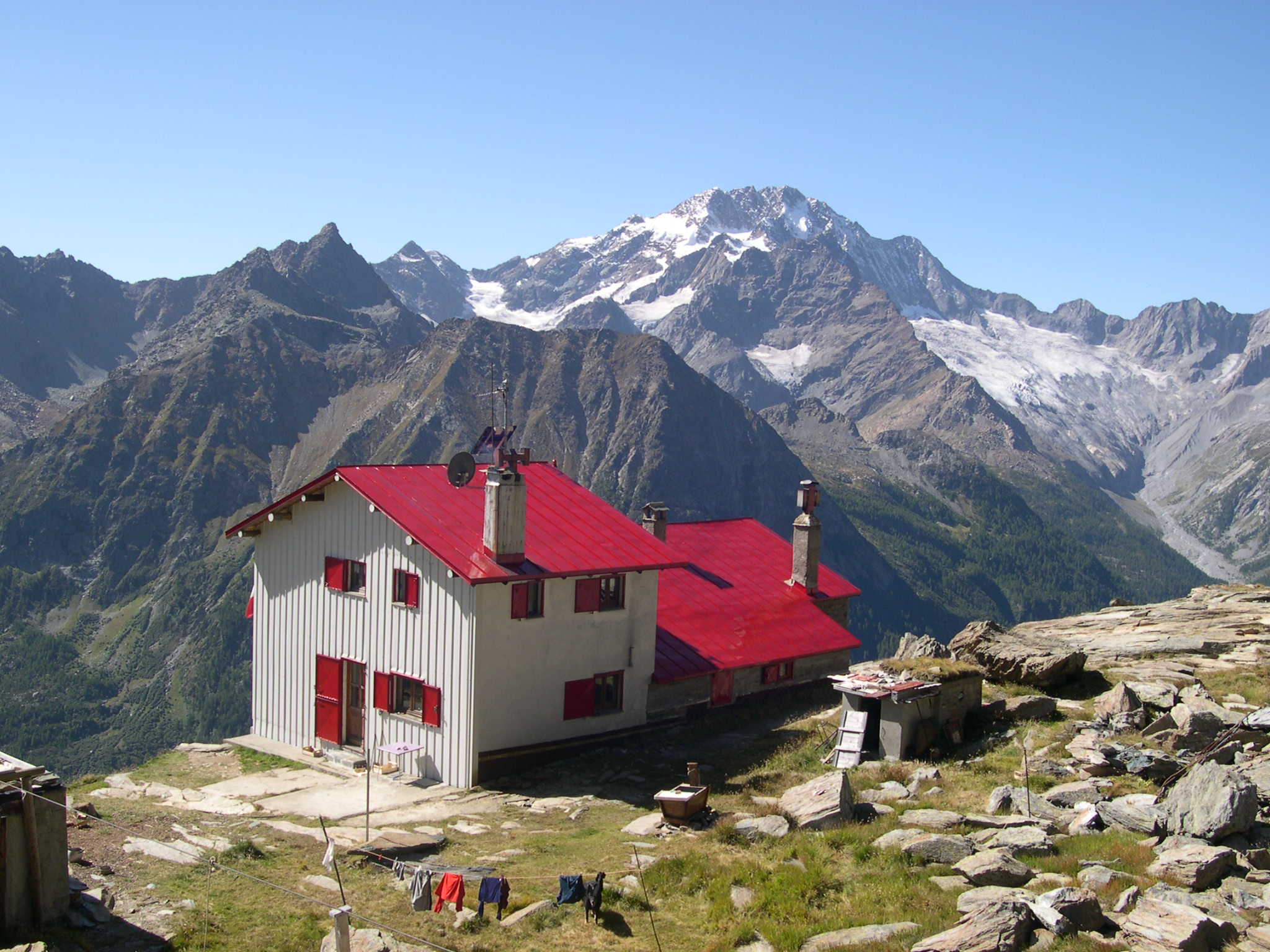
Rif. Longoni 2450m
A hut at 2,450 m facing the Disgrazia across the Valmalenco, on the high traverse to the Bernina.
Rif. Ventina 1960m
A hut at the foot of the Ventina glacier, with a marked glaciological trail showing the ice retreat.
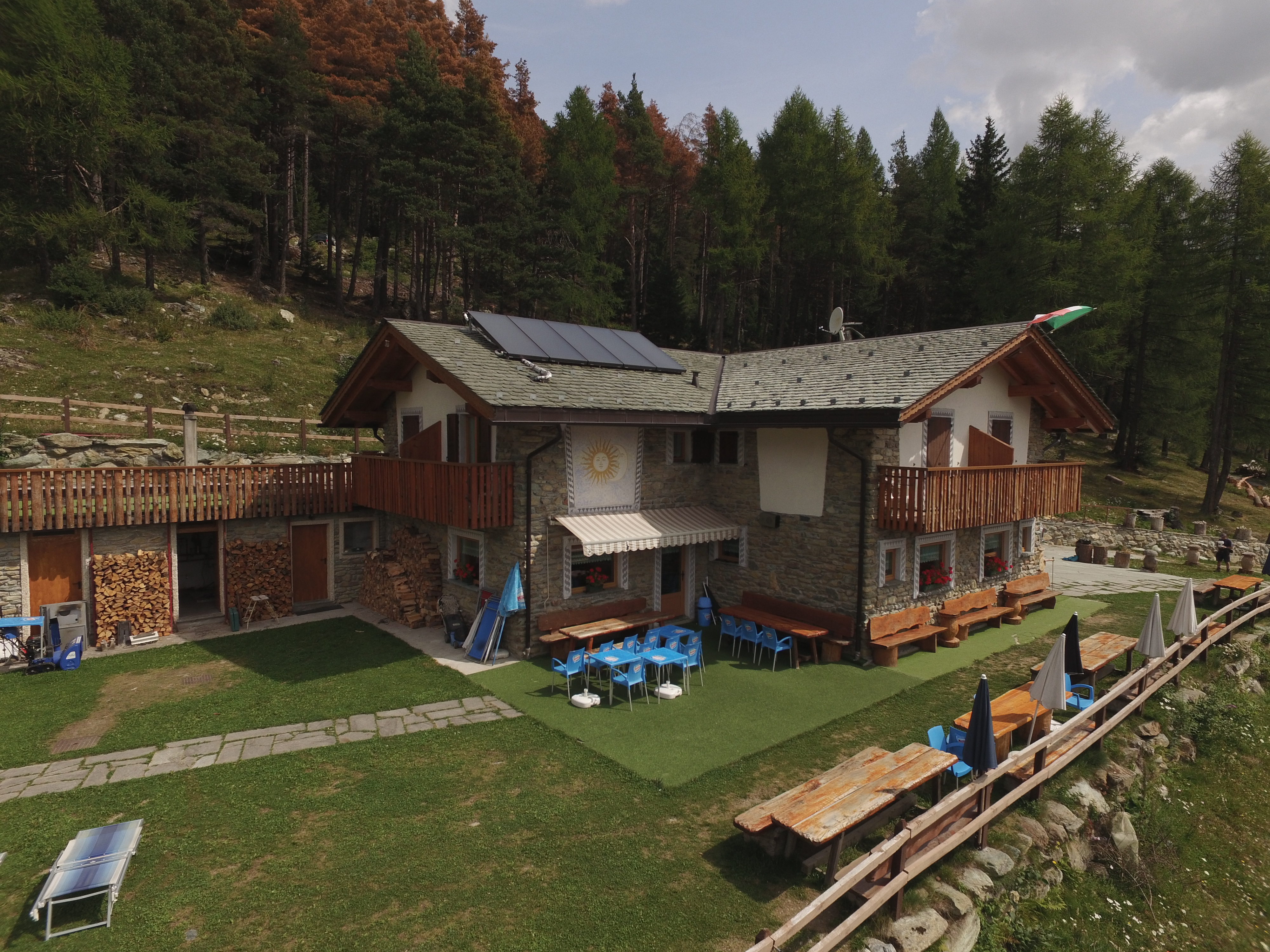
Rif. Gerli Porro 1960 m
A hut at 1,960 m on the Ventina pastures, at the foot of the Disgrazia glacier path.
Rif. Motta 2236m
A hut at 2,236 m on the Campagneda side of the Valmalenco, among small tarns.
Chiesa di San Giuseppe
A church in the Valmalenco, roofed in the local serpentine slate.
Chiesa di Sant'Abbondio all'Alpe Lago
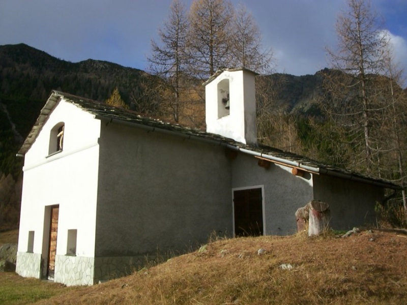
A chapel on the Alpe Lago pastures above the Valmalenco, reached on foot.
Chiesa di Sant'Anna
A chapel high in the Valmalenco, on the track towards the Chiareggio pastures.
Chiesa di Santa Emilia
A small church on the Valmalenco slope above Chiesa, among the stone-roofed hamlets.
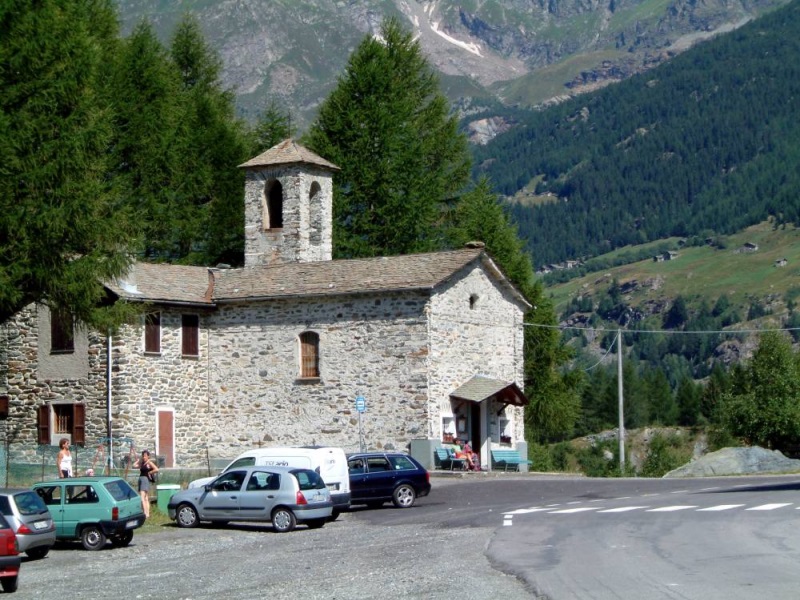
Chiesa parrocchiale dei SS. Giacomo e Filippo
The parish church of Chiesa in Valmalenco, whose bell tower gives the village its name.
Santuario della Beata Vergine delle Grazie
A pilgrimage church in the Valmalenco, on the terrace above the valley floor.
Rif. Alpe Ponte 1521m
5.7 km away, in Lanzada
A hut at 1,521 m on a pasture a few kilometres above Lanzada, open all year.
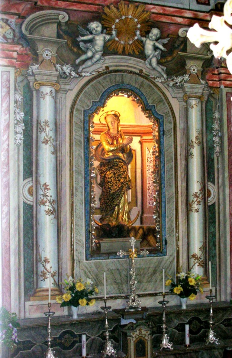
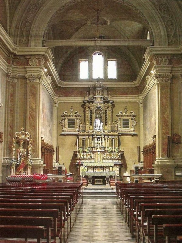
Chiesa della Beata Vergine Immacolata
5.8 km away, in Lanzada
The most important church of the Valmalenco for its art and architecture, in the village of Lanzada.
Chiesa dei SS. Rocco, Fabiano e Sebastiano
6 km away, in Caspoggio
A votive church at Caspoggio, facing the Bernina across the Valmalenco.
Nothing of this kind in Chiesa in Valmalenco.
Routes
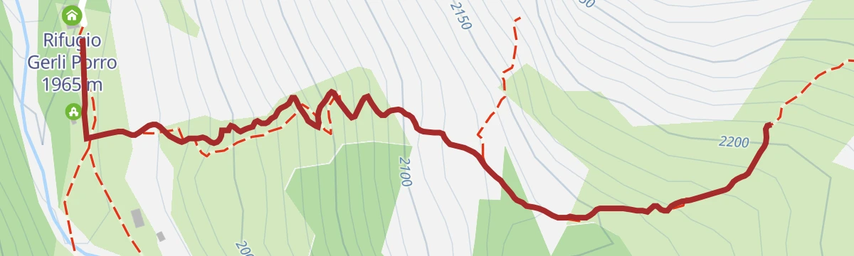
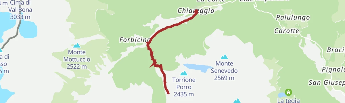
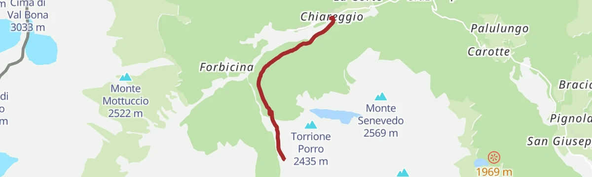
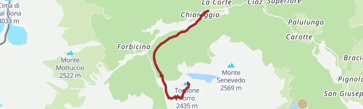
Via Ferrata at Torrione Porro
A ferrata above the Gerli-Porro hut in Valmalenco, reached by a steep half-hour path; more traversing on cable than actual climbing.
- 2.2 km
- Distance
- 459 m
- Ascent
- 2 h 43 min
- Duration
- 7
- Check-ins
Open route Valtellina OutdoorLaghetti Sassersa e Val Ventina
Up past the Sassersa tarns into the Val Ventina, on granite slabs below the Disgrazia.
- 4.0 km
- Distance
- 292 m
- Ascent
- 2 h 42 min
- Duration
- 52
- Check-ins
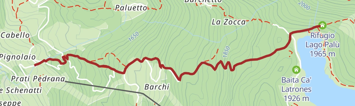
La magia del lago Palù
A simple family walk from San Giuseppe, on a snow-covered road as far as Barchi and then a forest path, to the shore of Lago Palù.
- 8.4 km
- Distance
- 417 m
- Ascent
- 3 h 3 min
- Duration
- 56
- Check-ins
Alta via della Valmalenco
Part of the eight-stage high route around the Valmalenco, some 110 km linking the valley's huts, here crossing the Sasso Bianco.
- 101.4 km
- Distance
- 7 852 m
- Ascent
- 51 h 1 min
- Duration
- 369
- Check-ins
Cima Motta from San Giuseppe
A ski route from San Giuseppe on small roads and forest tracks by the Barchi hamlet, round Lago Palù and up to Monte Motta.
- 6.8 km
- Distance
- 892 m
- Ascent
- 92 m
- Descent
- 2 h 47 min
- Duration
- 40
- Check-ins
Open route Valtellina OutdoorChurch, Lanzada, Campo Franscia, Campo Moro (MTB-EMTB)
A long surfaced climb up Valmalenco through tunnels cut in the rock to the Campo Moro reservoir, passing Rifugio Zoia and Rifugio Poschiavino.
- 31.7 km
- Distance
- 1 378 m
- Ascent
- 4 h 7 min
- Duration
- 72
- Check-ins
Open route Valtellina OutdoorL'Alpe e il Lago Palù
An easy round on the Alpe Palù shelf above Chiesa in Valmalenco, taking in the lake and the pastures around it.
- 4.6 km
- Distance
- 135 m
- Ascent
- 1 h 25 min
- Duration
- 38
- Check-ins
Palu' Lake, a blue pearl in the center of Valmalenco.
A climb from the San Giuseppe chairlift by the Barchi huts, zigzagging through conifer wood to the shore of Lago Palù.
- 8.5 km
- Distance
- 420 m
- Ascent
- 3 h 4 min
- Duration
- 56
- Check-ins
 Rifugio Lago Palù 1 965 m
- Rifugio Sasso Nero 1 517 m
- Rifugio Barchi 1 710 m
- Baita Ca' Latrones 1 926 m
Open route Valtellina OutdoorAlta Via della Valmalenco stage 5
The stage into the heart of the Bernina, to the Marinelli hut, built in 1880 as one of the first in Valmalenco, and over the Bocchel del Torno.
- 11.6 km
- Distance
- 1 330 m
- Ascent
- 6 h 22 min
- Duration
- 123
- Check-ins
- Rifugio Marinelli Bombardieri 2 813 m
- Rifugio Lago Palù 1 965 m
 Bocchetta delle Forbici 2 656 m
- Rifugio Carate Brianza 2 636 m
 Lago di Musella 2 600 m
- Rifugio Cesare Mitta 2 020 m
- +3
Open route Valtellina OutdoorSan Giuseppe, Barchi, Palu' Lake, Sasso Alto (MTB-EMTB)
A steep dirt-road climb from the Barchi huts past Lago Palù to Passo Campolungo, topping out on Monte Motta above Valmalenco.
- 16.5 km
- Distance
- 907 m
- Ascent
- 2 h 27 min
- Duration
- 63
- Check-ins
 Monte Motta/ Sasso Alto 2 336 m
- Rifugio Sasso Nero 1 517 m
- Rifugio Barchi 1 710 m
- Passo Campolungo 2 167 m
- I campanacci 2 008 m
- Baita Ca' Latrones 1 926 m
- +1
Open route Valtellina OutdoorThe Millennium Larch Trail
A short spur from the Gerli-Porro hut to the thousand-year-old larch, the oldest in Italy, on a path overlooking the Ventina glacier basin.
- 961 m
- Distance
- 241 m
- Ascent
- 52 min
- Duration
- 24
- Check-ins
Open route Valtellina OutdoorRifugio Lago Palu'
A mule track up from Barchi to the hut on the shore of Lago Palù, a stop on the Sentiero Italia and on the Valmalenco high route.
- 3.0 km
- Distance
- 420 m
- Ascent
- 1 h 40 min
- Duration
- 51
- Check-ins
Open route Valtellina OutdoorSentiero Italia D25N - Stage Rifugio Palù Rifugio Marinelli-Bombardieri
A Sentiero Italia stage from Lago Palù past the Musella and Carate Brianza huts on the long climb to the Marinelli Bombardieri hut at 2,813 m.
- 10.9 km
- Distance
- 1 180 m
- Ascent
- 5 h 48 min
- Duration
- 76
- Check-ins
- Bocchetta delle Forbici 2 656 m
- Rifugio Carate Brianza 2 636 m
- Lago di Musella 2 600 m
- Rifugio Cesare Mitta 2 020 m
- Rifugio Alpe Musella 2 021 m
- Bocchel del Torno 2 203 m
- +1
Open route Valtellina OutdoorChiesa, Chiareggio, Alpe dell'Oro (MTB-EMTB)
A climb up the Valmalenco from Chiesa on the line of the Rusca Trail, using dirt roads in the Mallero riverbed towards Chiareggio and San Giuseppe.
- 15.1 km
- Distance
- 1 068 m
- Ascent
- 1 h 59 min
- Duration
- 9
- Check-ins
Open route Valtellina OutdoorTartaglione-Crispo Refuge
A short walk from the Pian del Lupo car park by Forbesina to the Tartaglione hut, in forest at the mouth of Val Sissone facing Monte Disgrazia.
- 2.3 km
- Distance
- 160 m
- Ascent
- 47 min
- Duration
- 16
- Check-ins
Open route Valtellina OutdoorAl Rifugio Ventina da Chiareggio
The walk up from Chiareggio to the Ventina hut, on the plateau below the glacier at the head of the valley.
- 3.8 km
- Distance
- 388 m
- Ascent
- 1 h 41 min
- Duration
- 45
- Check-ins
Alta Via della Valmalenco stage 2
A long stage up the Val Sassersa past its three small lakes to the Passo Ventina, by talc mines, soapstone quarries and summer pastures under the Bernina.
- 13.4 km
- Distance
- 1 207 m
- Ascent
- 7 h 48 min
- Duration
- 69
- Check-ins
- Rifugio Gerli Porro 1 965 m
- Rifugio Ventina 1 975 m
- Rifugio Bosio-Galli 2 086 m
- Passo Ventina 2 676 m
- Lago di Sassersa inferiore 2 m
- Lago di Troni 1 602 m
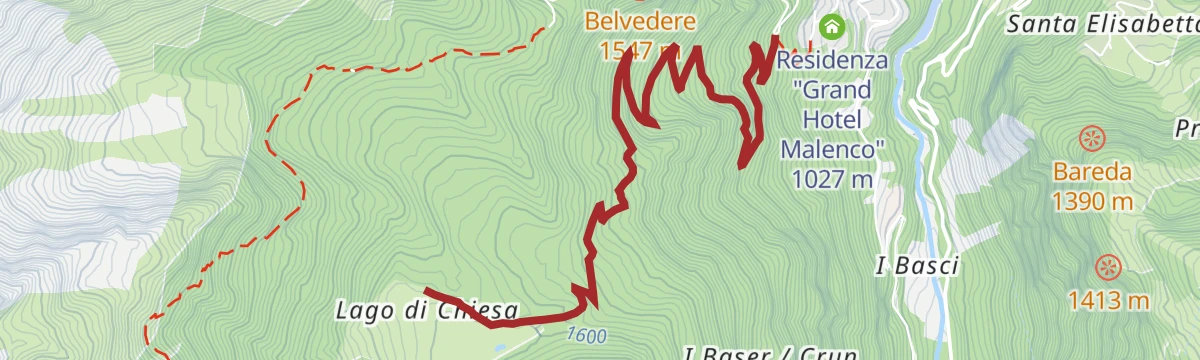
Open route Valtellina OutdoorChiesa, Lago di Chiesa, Rifugio Bosio, Alpe Pirlo (MTB-EMTB)
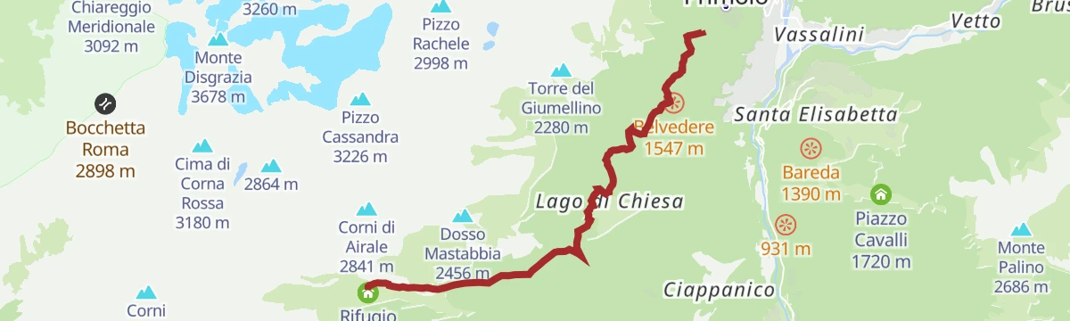
A two-part climb from the valley floor towards Primolo, then on dirt and concrete hairpins through the woods into Val Torreggio for Rifugio Bosio.
- 28.1 km
- Distance
- 1 281 m
- Ascent
- 3 h 42 min
- Duration
- 9
- Check-ins
Open route Valtellina OutdoorIl faggio secolare di Lanzada e l'Alpe Ponte
A short walk to the old beech above Lanzada and the Alpe Ponte, sunny and sheltered from the wind, so worth doing out of season.
- 3.3 km
- Distance
- 240 m
- Ascent
- 1 h 29 min
- Duration
Porro and Ventina Shelters
A family walk from Chiareggio on trail 323, over the Mallero footbridge and up a wide mule track to the two huts on the Ventina plateau.
- 3.1 km
- Distance
- 365 m
- Ascent
- 1 h 31 min
- Duration
- 45
- Check-ins
Open route Valtellina OutdoorSentiero Italia D22N - Stage Rifugio Bosio to Alpe Airale - Rifugio Gerli Porro to Alpe Ventina
A Sentiero Italia stage on the north side of Monte Disgrazia, from the Bosio Galli hut by Alpe Airale and Alpe Mastabbia to the Passo Ventina at 2,676 m.
- 13.9 km
- Distance
- 1 178 m
- Ascent
- 7 h 43 min
- Duration
- 69
- Check-ins
- Rifugio Gerli Porro 1 965 m
- Rifugio Ventina 1 975 m
- Rifugio Bosio-Galli 2 086 m
- Passo Ventina 2 676 m
- Lago di Sassersa inferiore 2 m
- Lago di Troni 1 602 m
Open route Valtellina OutdoorThe three bridges route
An easy round from Chiareggio by Pian del Lupo and the Forbesina pasture, crossing the Sissone and Ventina streams at three bridges.
- 4.3 km
- Distance
- 80 m
- Ascent
- 1 h 13 min
- Duration
Open route Valtellina OutdoorSentiero tematico
A themed route through the Valmalenco, following interpretation posts across pasture and forest above Chiesa in Valmalenco.
- 12.0 km
- Distance
- 654 m
- Ascent
- 4 h 27 min
- Duration
- 45
- Check-ins
Alta Via della Valmalenco stage 3
A wild stage up Val Sissone on rough ground, worth saving for clear weather, to the Del Grande-Camerini hut facing the north wall of Monte Disgrazia.
- 13.1 km
- Distance
- 963 m
- Ascent
- 6 h 60 min
- Duration
- 61
- Check-ins
Open route Valtellina OutdoorRifugio Motta
A climb to the Motta hut on its terrace above the Alpe Palù ski slopes, in the middle of the Valmalenco.
- 4.9 km
- Distance
- 665 m
- Ascent
- 2 h 39 min
- Duration
- 32
- Check-ins
Open route Valtellina OutdoorSan Giuseppe
A climb from San Giuseppe in Valmalenco to Monte Motta above the Palù basin, on ski-area tracks and mountain paths.
- 17.1 km
- Distance
- 875 m
- Ascent
- 6 h 23 min
- Duration
- 56
- Check-ins
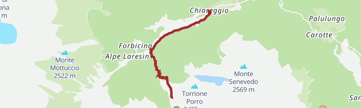
Sul Torrione Porro dalla via Carlo Bonomi
An ascent of the Torrione Porro from the Ventina alp by the Carlo Bonomi ferrata, the gentlest of the lines to the top and fit for beginners.
- 4.1 km
- Distance
- 827 m
- Ascent
- 3 h 3 min
- Duration
- 31
- Check-ins
Alta Via della Valmalenco stage 4
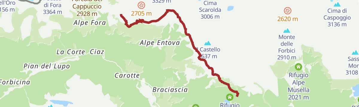
A stage from Chiareggio to the Lago Palù basin, over the Alpe Fora pastures and the Longoni terrace, then the boulders of the abandoned Alpe Sasso Nero.
- 12.7 km
- Distance
- 1 117 m
- Ascent
- 6 h 25 min
- Duration
- 41
- Check-ins
Open route Valtellina OutdoorLake Palu' with joëlette
An approach to Lago Palù suited to a joëlette, with a level three-kilometre path right round the shore where Monte Disgrazia is reflected.
- 6.8 km
- Distance
- 410 m
- Ascent
- 2 h 51 min
- Duration
- 29
- Check-ins
Open route Valtellina OutdoorSentiero Italia D23N - Stage Gerli Porro Refuge to Alpe Ventina - Longoni Refuge
A long stage from the Ventina alp into Val Sissone by the Forbicina and Laresin pastures, over moraine to the Del Grande-Camerini hut and the Longoni.
- 17.5 km
- Distance
- 1 763 m
- Ascent
- 9 h 57 min
- Duration
- 40
- Check-ins
Open route Valtellina OutdoorAl Rifugio Gerli Porro
An easy mule track from Chiareggio up to the Gerli-Porro hut on the plateau below the Ventina glacier.
- 3.4 km
- Distance
- 366 m
- Ascent
- 1 h 34 min
- Duration
- 24
- Check-ins
Torre di Santa Maria
A long climb from Torre di Santa Maria up to the Alpe Piasci on the western side of the Valmalenco.
- 32.6 km
- Distance
- 1 434 m
- Ascent
- 11 h 12 min
- Duration
- 26
- Check-ins
Porro refuge with joëlette
A smooth valley track from the Chiareggio car park to the Gerli-Porro and Ventina huts, with one steep stony pitch needing four joelers at the end.
- 6.4 km
- Distance
- 362 m
- Ascent
- 2 h 34 min
- Duration
- 24
- Check-ins
Open route Valtellina OutdoorRifugio Del Grande Camerini per le Alpi di Vazzeda
An approach to the Del Grande-Camerini hut from Pian del Lupo above Chiareggio, by way of the Vazzeda pastures at the mouth of Val Sissone.
- 5.6 km
- Distance
- 956 m
- Ascent
- 3 h 38 min
- Duration
- 16
- Check-ins
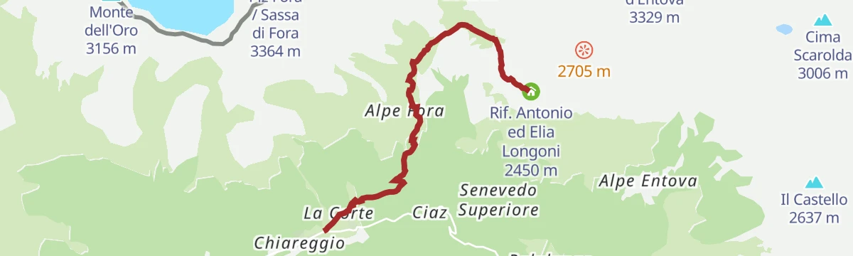
Rifugio Longoni
A steady climb from Chiareggio by the Alpe and plain of Fora to the Longoni hut, a base for Pizzo Tremoggia, Pizzo Malenco and the Bernina huts.
- 4.8 km
- Distance
- 850 m
- Ascent
- 3 h 14 min
- Duration
- 19
- Check-ins
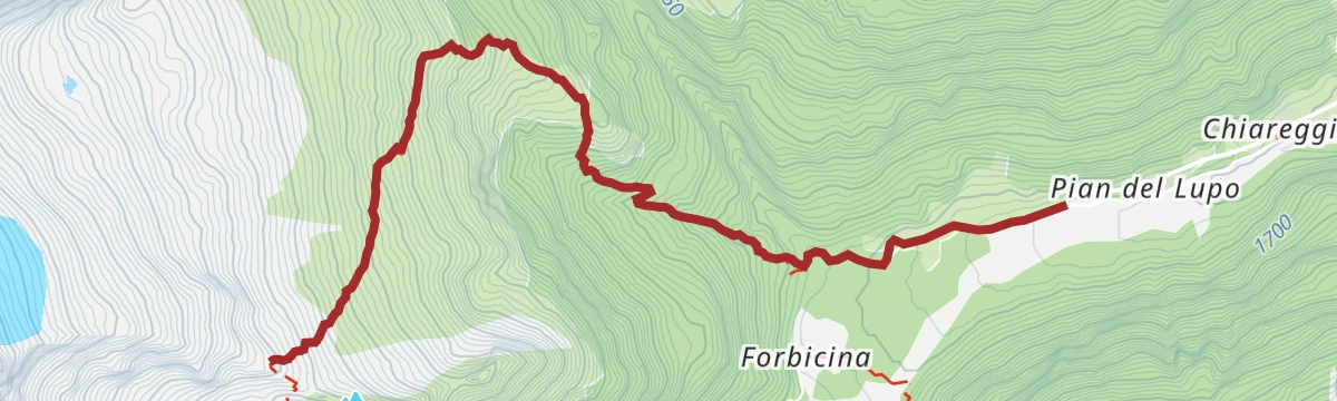
Open route Valtellina OutdoorRifugio Del Grande-Camerini
A steep climb from Pian del Lupo above Chiareggio to the hut on the divide between Val Sissone and Val Bona, facing the Disgrazia north wall.
- 4.6 km
- Distance
- 942 m
- Ascent
- 3 h 28 min
- Duration
- 16
- Check-ins
Open route Valtellina OutdoorSentiero Italia D24N - Stage Rifugio Longoni Rifugio Palù
A short, mostly downhill stage from the Longoni hut by the Entovasco stream and Alpe Sasso Nero to the hut on the north shore of Lago Palù.
- 7.7 km
- Distance
- 290 m
- Ascent
- 3 h 8 min
- Duration
- 19
- Check-ins
Open route Valtellina OutdoorChiesa in Valmalenco
A long route into the Val Torreggio to the Bosio hut, with a second arm to the old huts of Alpe Pirlo; steady gradients with a few steeper pitches.
- 30.5 km
- Distance
- 1 209 m
- Ascent
- 10 h 5 min
- Duration
- 9
- Check-ins
Lake and Alpe Lagazzuolo
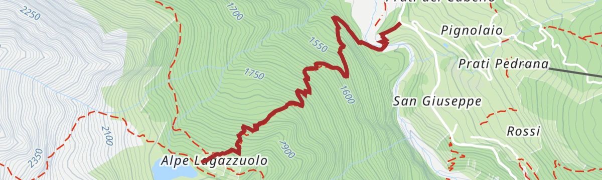
A short but hard climb from San Giuseppe on trail 321, crossing the Mallero and switchbacking steeply up to Lago Lagazzuolo.
- 2.3 km
- Distance
- 572 m
- Ascent
- 2 h 6 min
- Duration
- 18
- Check-ins
Open route Valtellina OutdoorRusca Trail Part One - From Sondrio to Chiesa in Valmalenco
The opening section of the old Valmalenco road, climbing from Sondrio through Ponchiera and Torre di Santa Maria into the valley.
- 28.0 km
- Distance
- 759 m
- Ascent
- 8 h 26 min
- Duration
- 8
- Check-ins
Open route Valtellina OutdoorRifugio Bosio-Galli (from Primolo)
An approach to the Bosio-Galli hut from Primolo, on a dirt road and then CAI paths by Alpe Pirlo, with no permit needed for the car.
- 8.4 km
- Distance
- 719 m
- Ascent
- 3 h 20 min
- Duration
- 17
- Check-ins
Open route Valtellina OutdoorDa Primolo ai Laghetti di Sassersa
A steep climb from Primolo above Chiesa in Valmalenco to the Sassersa tarns, held in rock and moraine high on the slope.
- 5.5 km
- Distance
- 1 286 m
- Ascent
- 5 h 1 min
- Duration
- 6
- Check-ins
La solitaria Alpe Entova
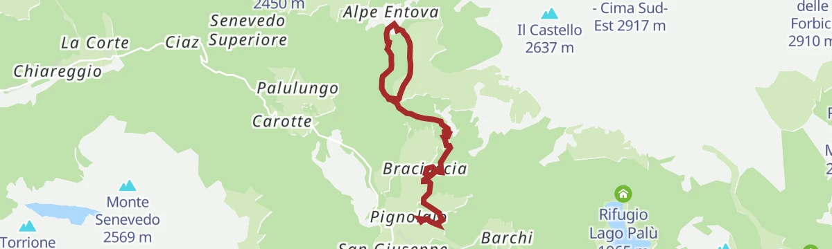
A walk to the quiet Alpe Entova above Chiesa in Valmalenco, on pastures below the Entova ridge.
- 8.0 km
- Distance
- 390 m
- Ascent
- 2 h 53 min
- Duration
- 15
- Check-ins
Sentiero Rusca second part
The upper half of the old valley road to the Muretto pass, the historic way through the Valmalenco from Sondrio by Torre di Santa Maria and Chiareggio.
- 18.3 km
- Distance
- 1 678 m
- Ascent
- 7 h 29 min
- Duration
- 5
- Check-ins
Open route Valtellina OutdoorUn tempo esisteva il lago: il lago di Chiesa
A walk above Chiesa in Valmalenco over the flats where a lake once stood, before the water found its way out of the basin.
- 5.0 km
- Distance
- 520 m
- Ascent
- 2 h 12 min
- Duration
No routes of this kind in Chiesa in Valmalenco yet.
The region's own picks
Featured route
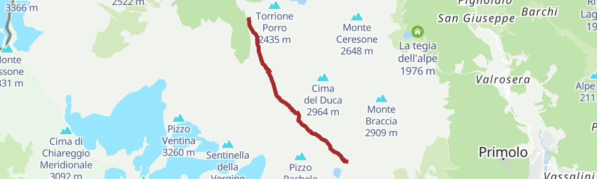
Laghetti Sassersa e Val Ventina
Up past the Sassersa tarns into the Val Ventina, on granite slabs below the Disgrazia.
Planning a trip to Chiesa in Valmalenco?
Everything else Lombardy has, in one place


Take Chiesa in Valmalenco with you into the mountains
Every route on this page with 3D terrain, GPX navigation and offline maps — including the valleys with no signal.
Data sources
- Official website: sondrioevalmalenco.it ↗
- Routes and highlights: Valtellina Outdoor, Sondrio e Valmalenco, in Lombardia
- Published as open data by the tourist boards named above.
- Region summary generated from the board's own material.
