
 Historic site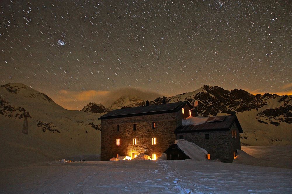




Curated by Visit Monterosa
Champdepraz
A side valley off the Dora Baltea at Verrès, holding most of the Mont Avic natural park.
- 10Highlights
- 5Routes
- Featured summit · Cima Piana
Highlights
All 10 from neighbouring places
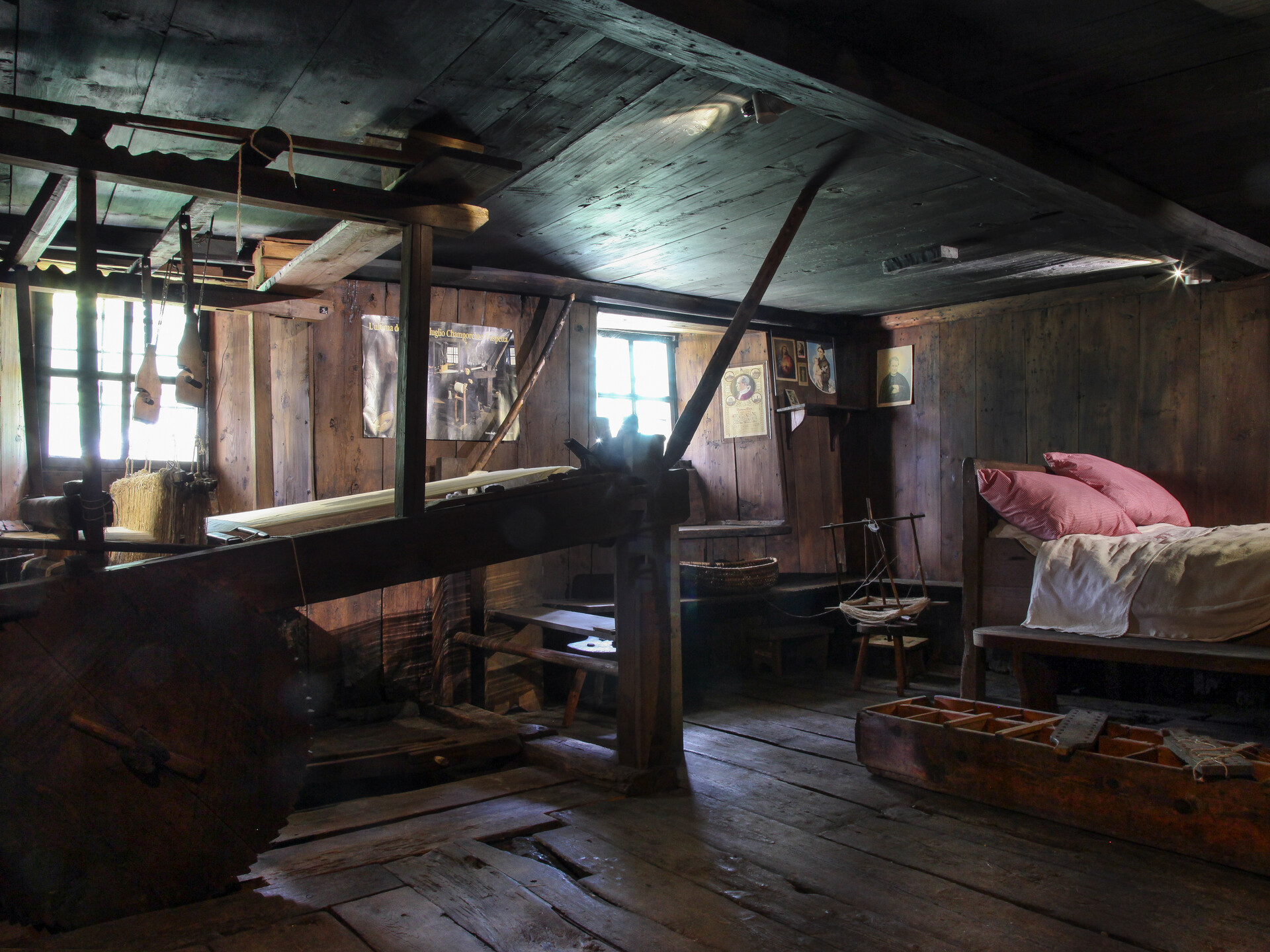
Ecomuseo della Canapa e del Telaio
5.2 km away, in Champorcher
A museum at Champorcher on the hemp growing and hand-loom weaving that clothed the valley.
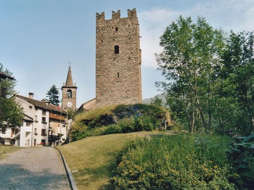
Torre medioevale e chiesa parrocchiale
5.4 km away, in Champorcher
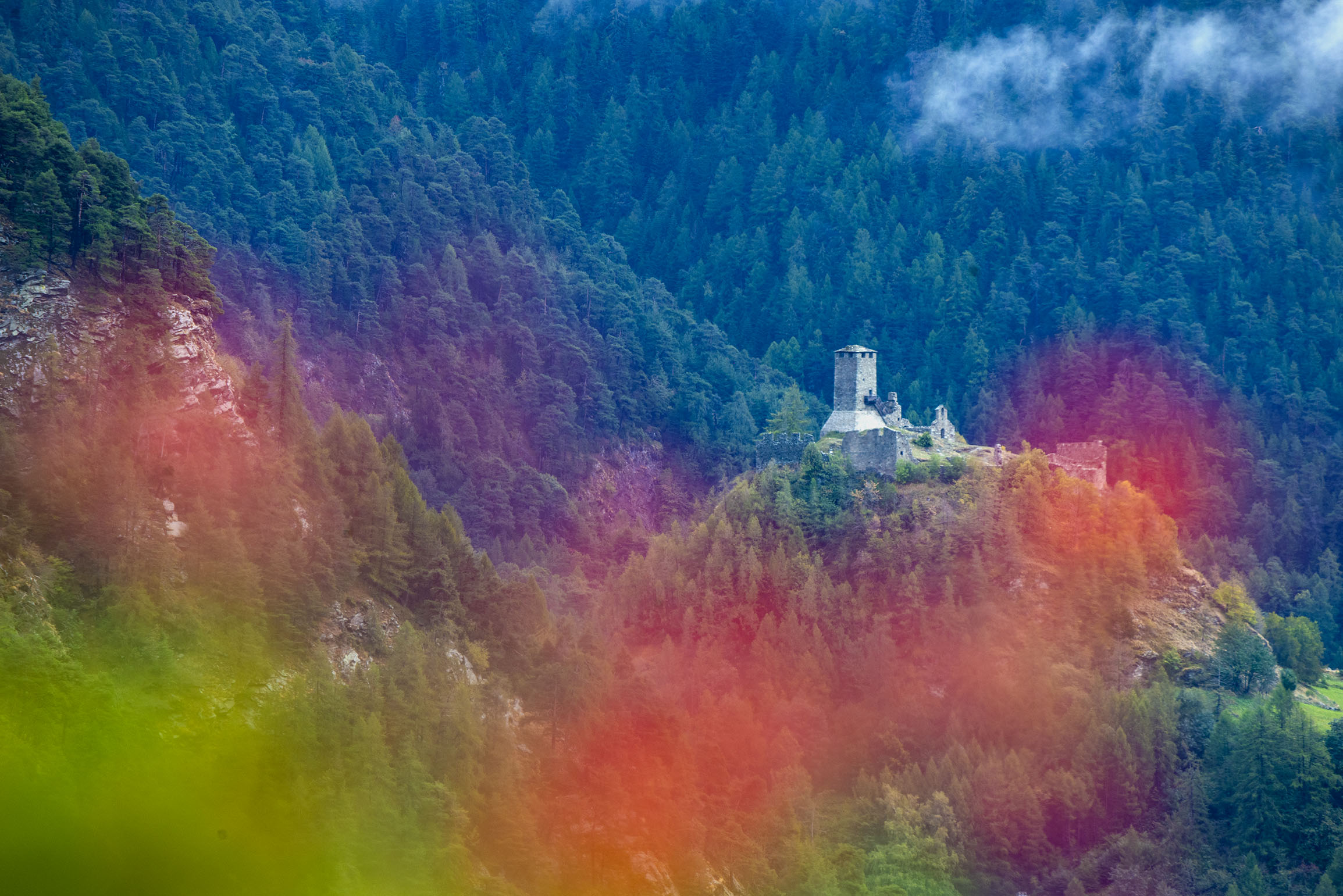
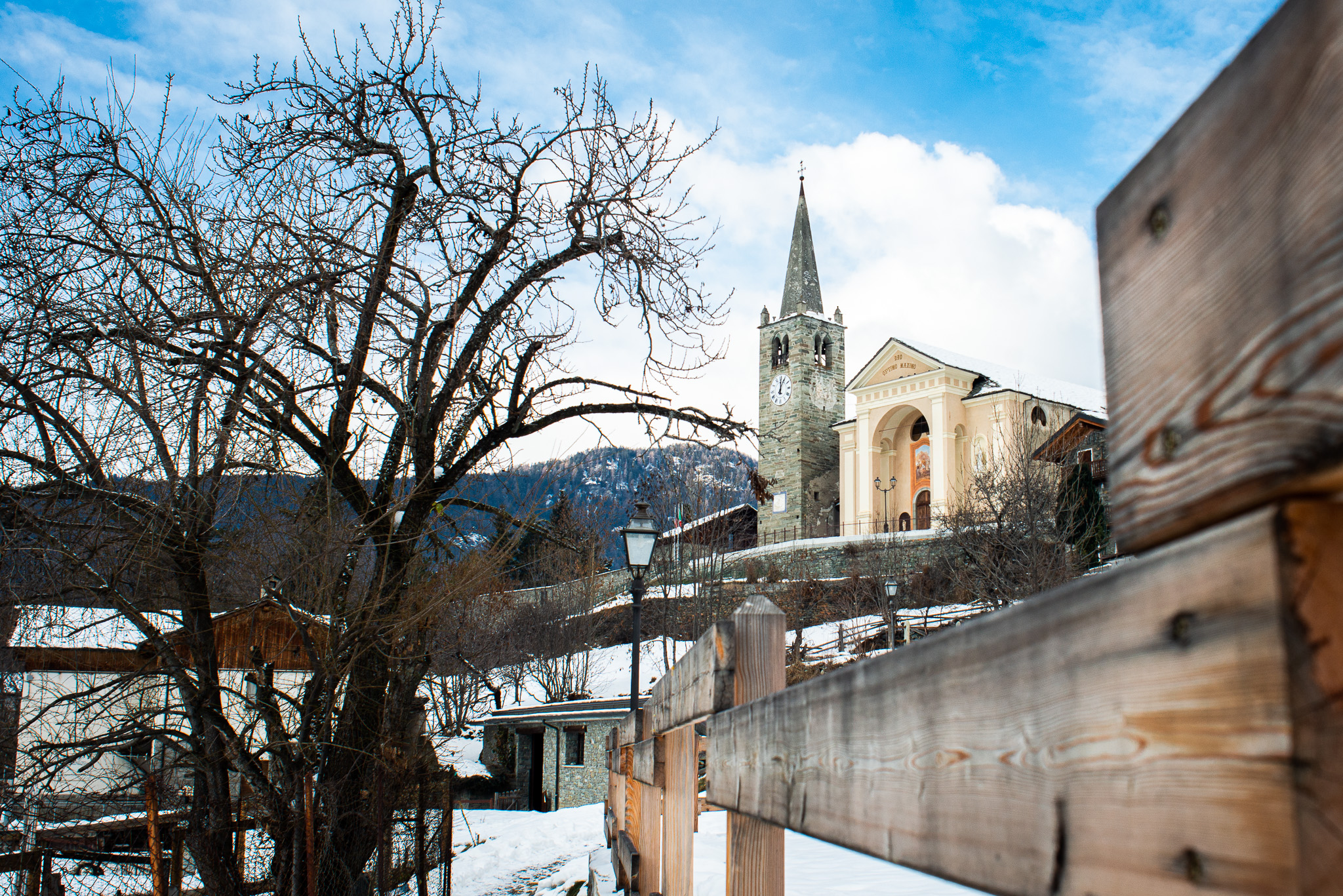
A crenellated medieval tower and the parish church in the hamlet of Chateau, the old centre of the Champorcher valley.
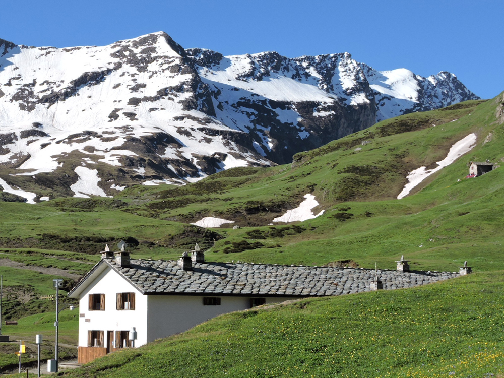
RIFUGIO DONDENA
6.9 km away, in Champorcher
A former royal hunting lodge in the green Dondena basin above Champorcher, on the edge of the Mont Avic park.
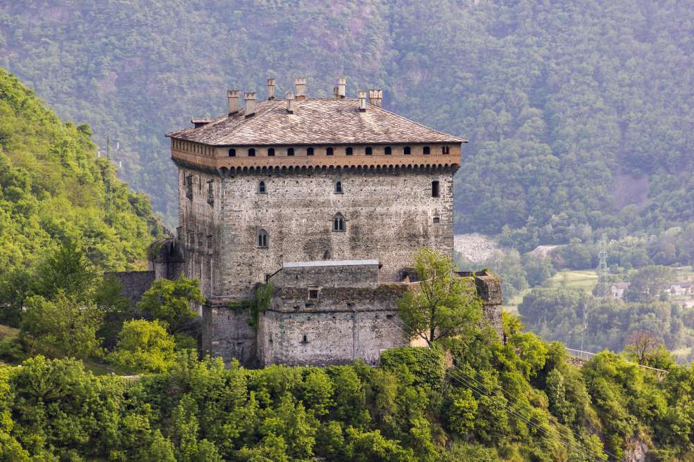
Il Castello di Verrès
8.2 km away, in Verrès
A single great cube of masonry above Verrès, built by Ibleto di Challant in the fourteenth century.
RIFUGIO MISERIN
9 km away, in Champorcher
A hut beside the Miserin lake above Champorcher, once a pilgrims' hospice below the Rosa dei Banchi.
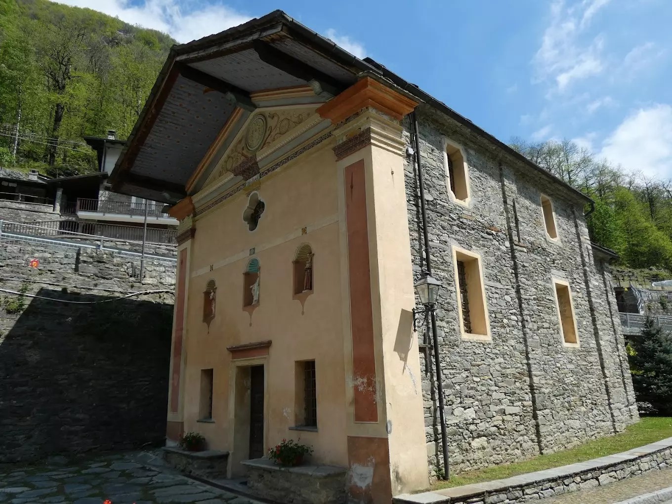
Cappella Del Gom
9.8 km away, in Pontboset
A wayside chapel at Pontboset, above the Ayasse gorge in the Champorcher valley.
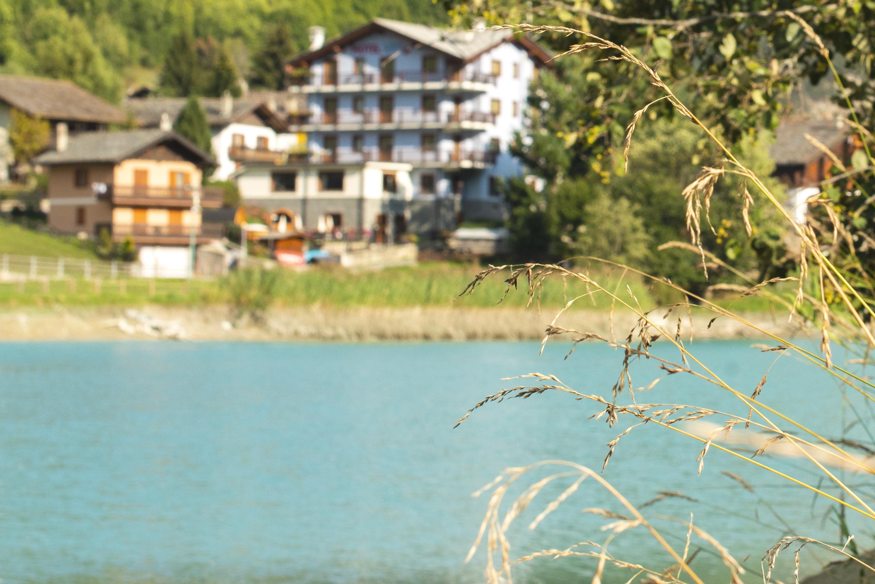
Lago di Brusson
14.3 km away, in Brusson
A lake among meadows at Brusson, with a lakeside path and playground on its shore.
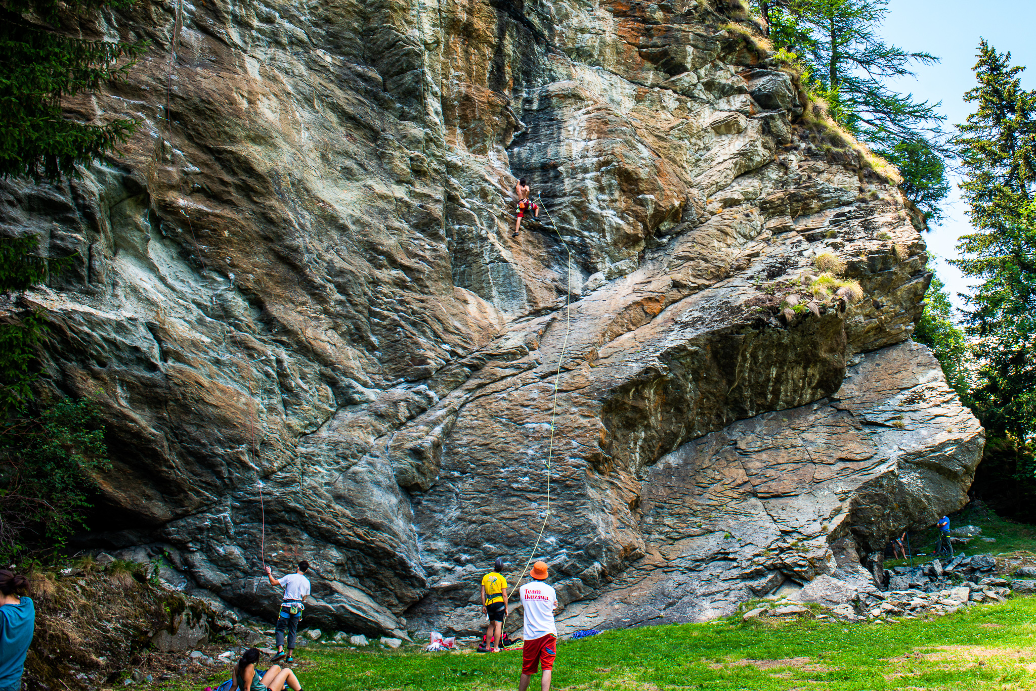
La Falesia di Extrapieraz
14.5 km away, in Brusson
A sport-climbing crag at Extrapieraz above Brusson, with easy routes suited to families.
Castello di Graines
14.9 km away, in Brusson
An eleventh-century castle of the primitive type on a rock spur above Brusson, one of the oldest in the Valle d'Aosta.
Chiesa di San Maurizio
14.9 km away, in Brusson
The church of San Maurizio in upper Brusson, built between 1870 and 1873 to a design by Giuseppe Lancia.
Nothing of this kind in Champdepraz.
Routes
15 from neighbouring places
Rifugio Barbustel
A climb from Champorcher to the Rifugio Barbustel, set among the small lakes of the Mont Avic natural park.
- 7.9 km
- Distance
- 701 m
- Ascent
- 4 h 24 min
- Duration
- 78
- Check-ins
Val Champorcher alta
A long day through the upper Champorcher valley above Dondena, over pastures and passes below Mont Glacier.
- 27.4 km
- Distance
- 1 896 m
- Ascent
- 12 h 38 min
- Duration
- 123
- Check-ins
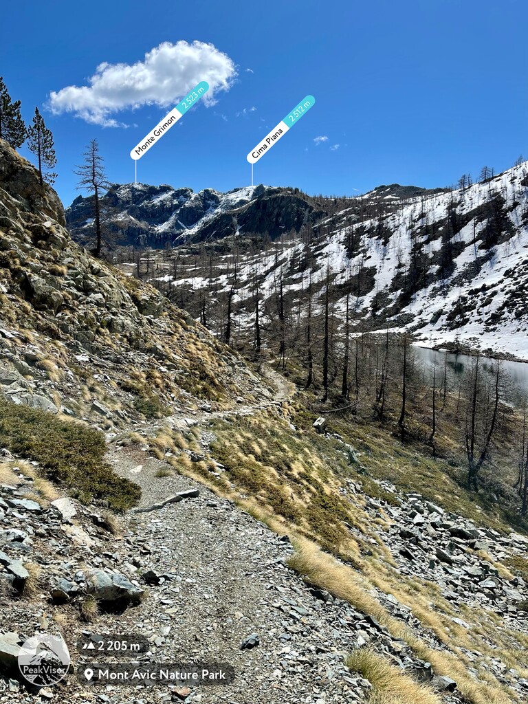
Cima Piana
A classic ski ascent in the Champorcher valley to the broad top of Cima Piana, which looks out over the main Aosta valley.
- 3.3 km
- Distance
- 809 m
- Ascent
- 0 m
- Descent
- 2 h 8 min
- Duration
- 29
- Check-ins
Rascias
The best-known ski-mountaineering line in the Champorcher valley, reached along the level road towards Dondena before the climb to Monte Rascias.
- 9.1 km
- Distance
- 1 074 m
- Ascent
- 0 m
- Descent
- 3 h 24 min
- Duration
Col La Croix
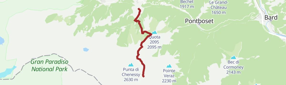
A classic route in the Mont Avic park above Champdepraz, steep at first, then easing into a basin below the Col La Croix.
- 7.0 km
- Distance
- 587 m
- Ascent
- 3 h 44 min
- Duration
- 37
- Check-ins
Passeggiata pineta
5.4 km away, in Champorcher
A near-level walk through the pine woods above Champorcher, in the Ayasse valley.
- 3.9 km
- Distance
- 72 m
- Ascent
- 1 h 5 min
- Duration
- 3
- Check-ins
Itinerario Bike: Circuito del Col de Joux
14.5 km away, in Brusson
A road loop from Brusson over the Col Tzecore and the Col de Joux, both above 1,600 m, returning past the Lago di Brusson.
- 21.6 km
- Distance
- 629 m
- Ascent
- 2 h 30 min
- Duration
- 51
- Check-ins
 Stella Alpina 1 628 m
 Col Tzecore 1 607 m
 Lago di Brusson 1 291 m
- Col de Joux 1 639 m
- Hotel Au Foi 1 576 m
Cima Piana
4.7 km away, in Champorcher
A short but very steep loop to Cima Piana above Champorcher, in quiet country well away from the busier valley routes.
- 10.4 km
- Distance
- 735 m
- Ascent
- 4 h 53 min
- Duration
- 45
- Check-ins
Lago Muffé, Lago Raty/Raté e altri laghi ancora
4.5 km away, in Champorcher
A round of the lakes and wet meadows on the Champorcher side of the Mont Avic park, taking in Lago Muffé and Lago Raty.
- 8.0 km
- Distance
- 563 m
- Ascent
- 3 h 44 min
- Duration
- 29
- Check-ins
- Bar Ristoro Lago Muffé 2 081 m
- Lago Di Vernouille 2 145 m
Percorso dei sei ponti
10.3 km away, in Pontboset
A short round at Pontboset over six old stone bridges, spanning the gorges where the Ayasse meets its side streams.
- 4.9 km
- Distance
- 205 m
- Ascent
- 1 h 40 min
- Duration
Champorcher
5.4 km away, in Champorcher
A long circuit on the slopes above Champorcher, linking the pastures and old hamlets on both sides of the valley.
- 15.8 km
- Distance
- 1 477 m
- Ascent
- 9 h 41 min
- Duration
- 5
- Check-ins
Lac Couvert
4.5 km away, in Champorcher
A climb from Champorcher up to the Lac Couvert, one of the tarns held in the Mont Avic natural park.
- 8.6 km
- Distance
- 745 m
- Ascent
- 4 h 42 min
- Duration
- 49
- Check-ins
Les Goilles
12.8 km away, in Hône
A short, easy walk on the slopes above Hône, in the lower Valle d'Aosta.
- 2.4 km
- Distance
- 157 m
- Ascent
- 1 h 3 min
- Duration
Lago Cornuto
6.5 km away, in Champorcher
A long climb above Champorcher to the Lago Cornuto, going over Mont Digny on the ridge between the side glens.
- 14.2 km
- Distance
- 1 307 m
- Ascent
- 8 h 9 min
- Duration
 Mont Digny 2 134 m
- Quota 2101 2 105 m
- Col Boset 2 077 m
- Bivacco Forestale 2 429 m
- Lago Cornuto 2 412 m
Lago Raty
4.5 km away, in Champorcher
A climb from Champorcher to the Lago Raty, one of the small lakes on the lower edge of the Mont Avic natural park.
- 8.2 km
- Distance
- 562 m
- Ascent
- 3 h 45 min
- Duration
- 33
- Check-ins
- Bar Ristoro Lago Muffé 2 081 m
- Lago Di Vernouille 2 145 m
- Lago Raty 2 284 m
Lago Vercoche (Outre l’Eve)
6.5 km away, in Champorcher
A long climb from Outre l'Eve up to the Lago Vercoche, the reservoir held in the high basin above the Champorcher valley.
- 11.7 km
- Distance
- 1 017 m
- Ascent
- 6 h 26 min
- Duration
- 2
- Check-ins
Rascias
4.7 km away, in Champorcher
A climb from the Champorcher valley to the summit of Monte Rascias, a grassy top on the ridge above the hamlets.
- 9.1 km
- Distance
- 1 074 m
- Ascent
- 4 h 25 min
- Duration
Rosa dei Banchi
6.9 km away, in Champorcher
A long ascent of the Rosa dei Banchi, the peak on the divide between the Champorcher valley and the Val Soana in Piedmont.
- 15.4 km
- Distance
- 792 m
- Ascent
- 4 h 52 min
- Duration
- 28
- Check-ins
Rifugio Dondena
4.7 km away, in Champorcher
A steady walk up the valley from Champorcher to the Rifugio Dondena, on the old road to the high pastures.
- 12.2 km
- Distance
- 478 m
- Ascent
- 4 h 3 min
- Duration
- 25
- Check-ins
Grand Tour della Bassa Valle di Champorcher
7.2 km away, in Champorcher
A long loop through the lower Champorcher valley over the Tête du Mont and the Pointe d'Arcomy, taking in old settlements such as Barmelle.
- 14.6 km
- Distance
- 1 251 m
- Ascent
- 7 h 54 min
- Duration
- 5
- Check-ins
No routes of this kind in Champdepraz yet.
The region's own picks
Featured route
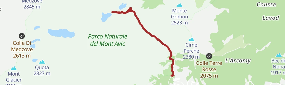
Rifugio Barbustel
A climb from Champorcher to the Rifugio Barbustel, set among the small lakes of the Mont Avic natural park.
Planning a trip to Champdepraz?
Everything else Aosta Valley has, in one place


Take Champdepraz with you into the mountains
Every route on this page with 3D terrain, GPX navigation and offline maps — including the valleys with no signal.
Data sources
- Official website: lovevda.it ↗
- Routes and highlights: Visit Monterosa, Monterosa Outdoor
- Published as open data by the tourist boards named above.
- Region summary generated from the board's own material.
