
Curated by Visitrovereto
Cavedine
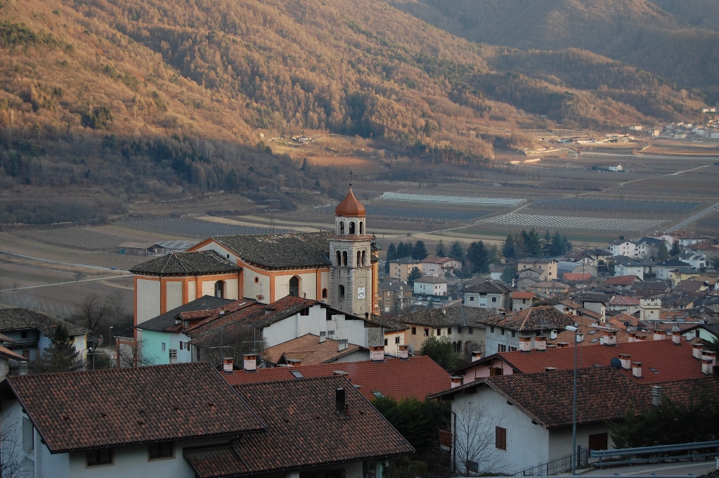
Comune in the Valle dei Laghi below the Bondone plateau, on the wind-funnelled corridor between Trento and Garda.
- 15Highlights
- 18Routes
- Featured summit · Dos Pelà
Highlights
All 15 from neighbouring places
Lago di Cei
4 km away, in Villa Lagarina
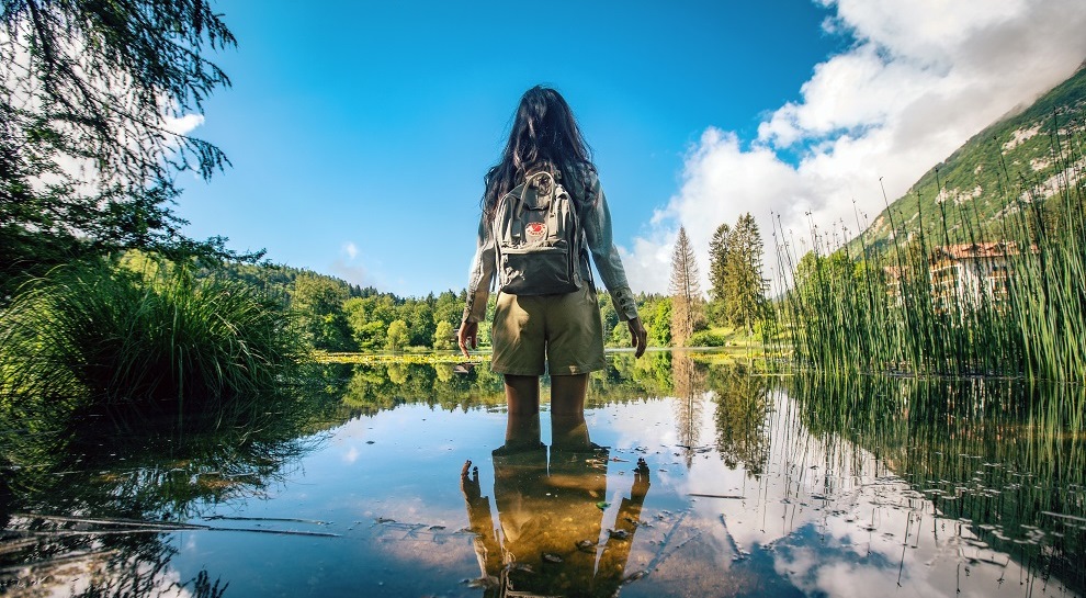
A small lake in woods on the terrace above Villa Lagarina, with a peat bog at one end.
Azienda Agricola Feudo Castel Bazom
6.4 km away, in Villa Lagarina
A wine estate below Castel Bazom at Villa Lagarina, on the Vallagarina terraces.
Die Burg von Castellano
6.5 km away, in Villa Lagarina
Castel Castellano above Villa Lagarina, a Vallagarina castle on its rock spur.
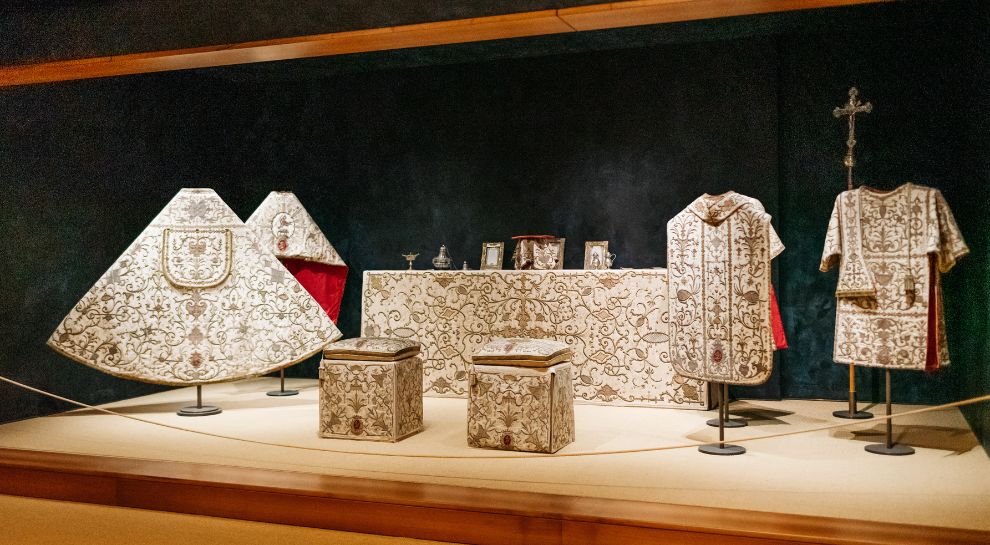
Museo Diocesano di Villa Lagarina
7.7 km away, in Villa Lagarina
Church silver, vestments and paintings at Villa Lagarina, shown beside Santa Maria Assunta.
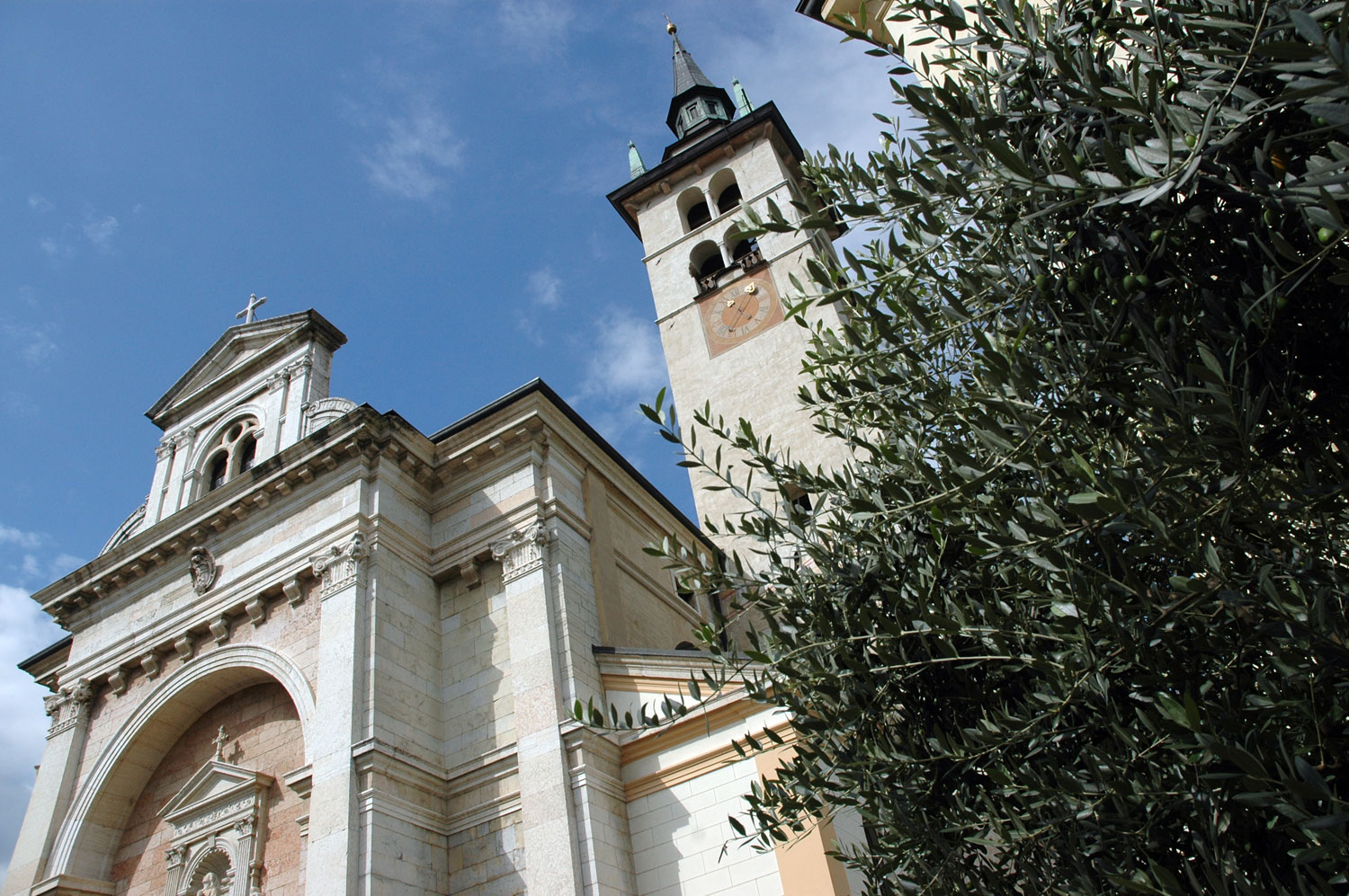
Chiesa Santa Maria Assunta
7.7 km away, in Villa Lagarina
The parish church of Villa Lagarina, its baroque Chapel of St Ruprecht panelled in marble.
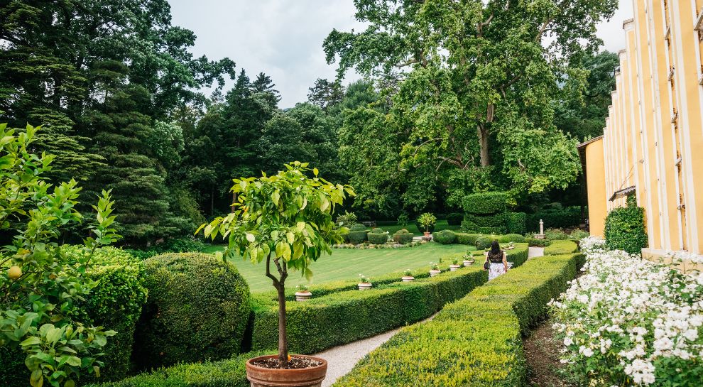
Parco Guerrieri Gonzaga
7.8 km away, in Villa Lagarina
The park of the Guerrieri Gonzaga palace at Villa Lagarina, with cedars and a formal garden.
Castello del Buonconsiglio
14.5 km away, in Trento
The residence of Trento's prince-bishops for four centuries, with the Torre Aquila and its Cycle of the Months.
Besenello, am Fuße der Burg Beseno
10.1 km away, in Besenello
The village of Besenello, at the foot of the Beseno castle ridge in the Vallagarina.
Besenello, ai piedi di Castel Beseno
10.1 km away, in Besenello
Besenello, on the Adige floor below the long ridge that carries Castel Beseno.
Mart
10.4 km away, in Rovereto
A museum of modern and contemporary art at Rovereto, under Mario Botta's glass-domed rotunda.
Castel Beseno per bambini
10.6 km away, in Besenello
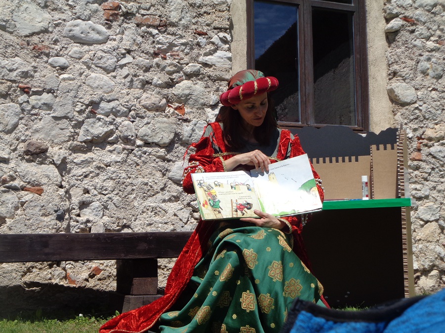
Castel Beseno's family route, with armour to handle and the tournament ground to walk.
Castel Beseno
10.7 km away, in Besenello
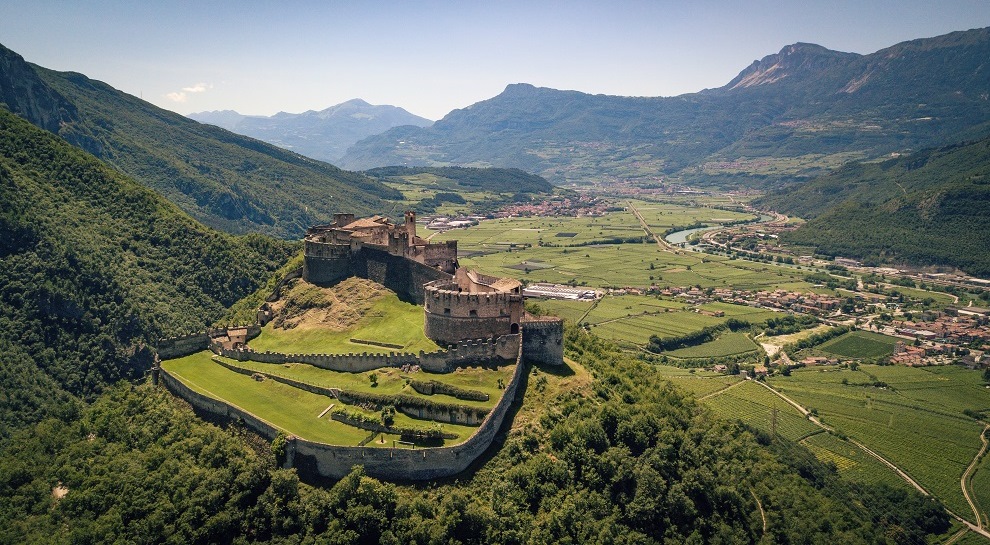
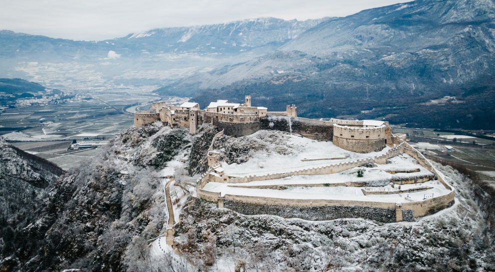
The largest fortified complex in Trentino, spread along a ridge above the Adige, held by the Trapp for centuries.
Die Burg von Beseno
10.7 km away, in Besenello
Castel Beseno above the Adige, its walls following the whole crest of the ridge.
Il Planetario di Rovereto
10.7 km away, in Rovereto
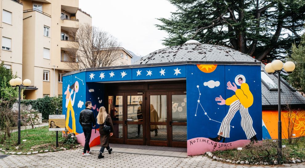
Rovereto's planetarium, part of the town's civic museum foundation.
 Historic site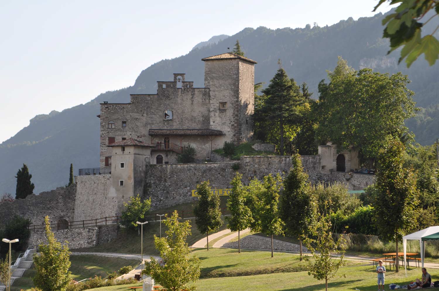
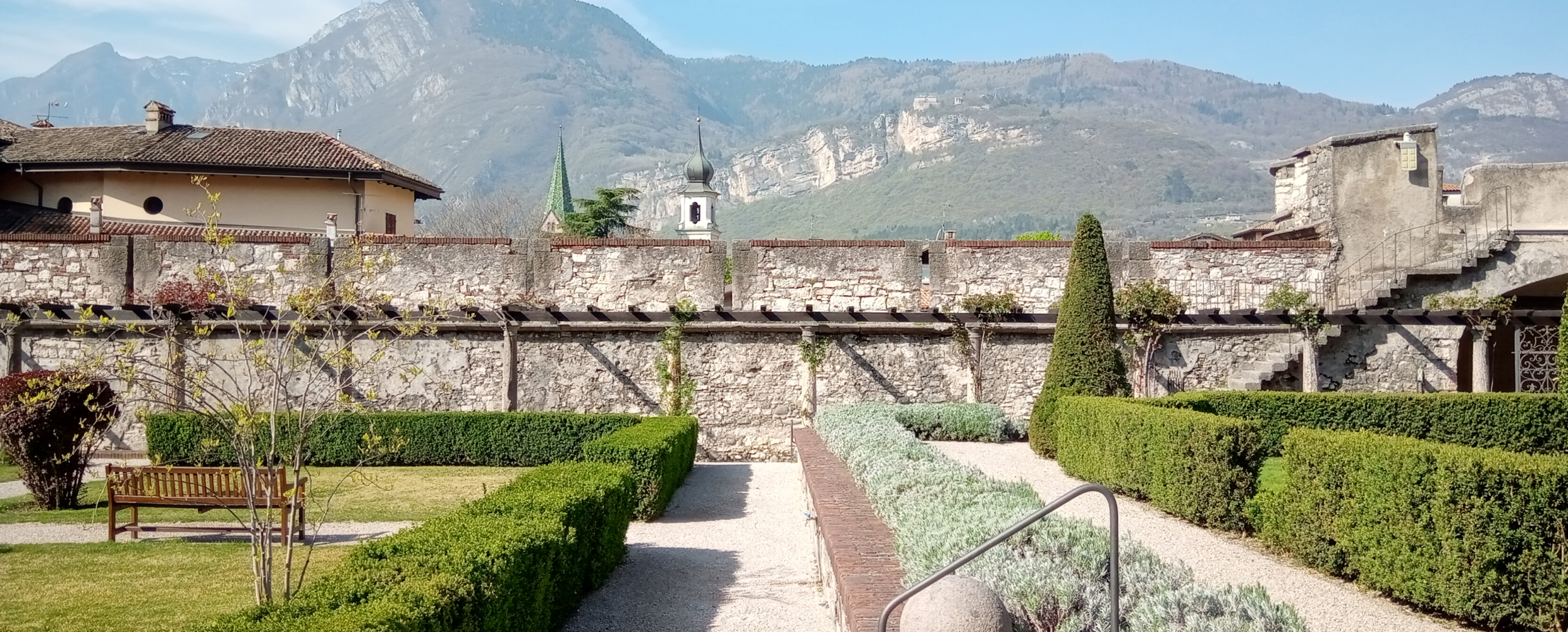
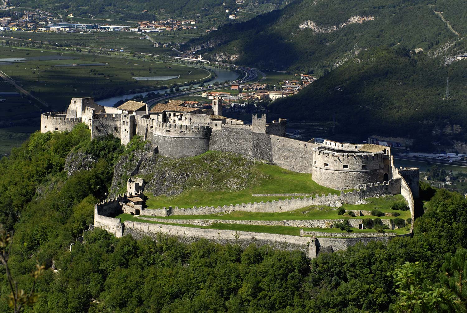
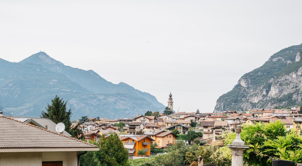
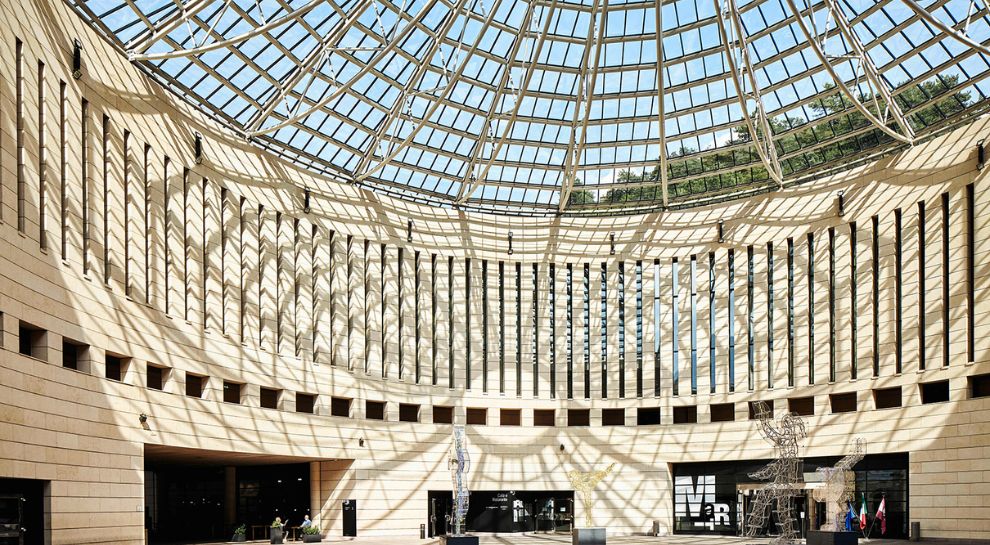
Nothing of this kind in Cavedine.
Routes
Lago di Cavedine E
A flat stretch along the shore of Lake Cavedine, south of the Sarca valley.
- 5.6 km
- Distance
- 14 m
- Ascent
- 1 h 21 min
- Duration
- 10
- Check-ins
Open route Trentino FishingViote - La Rosta - Viote
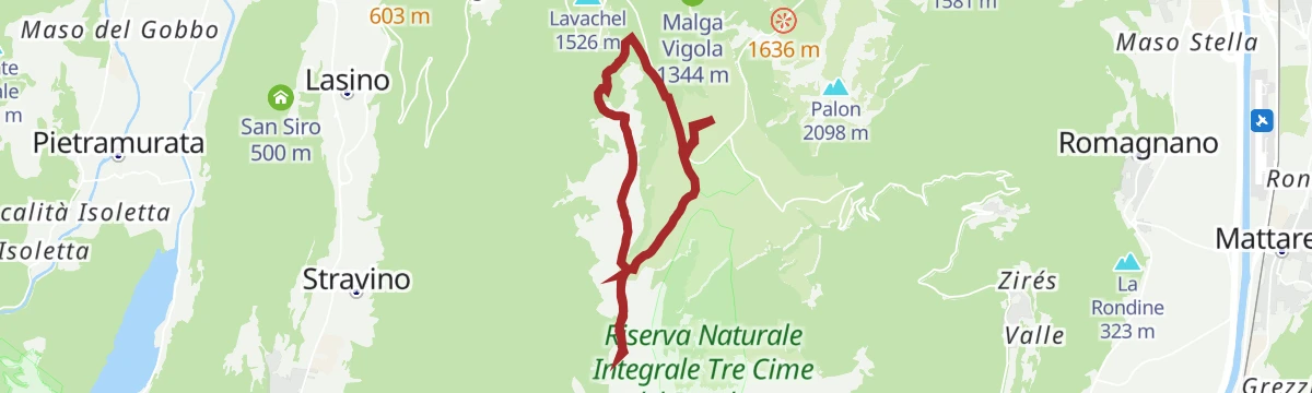
A round from the Viote to the gentle summit of La Rosta, a balcony between the Adige valley on one side and the Valle dei Laghi and the Brenta on the other.
- 10.9 km
- Distance
- 376 m
- Ascent
- 3 h 29 min
- Duration
- 17
- Check-ins
 Bocca Vaiona 1 700 m
 Rifugio Viote 1 541 m
- Malga Roncher/ Malga Cavedine 1 771 m
- Pra dela Lori 1 579 m
Open route Rete di Riserve BondoneMonte Bondone Tour
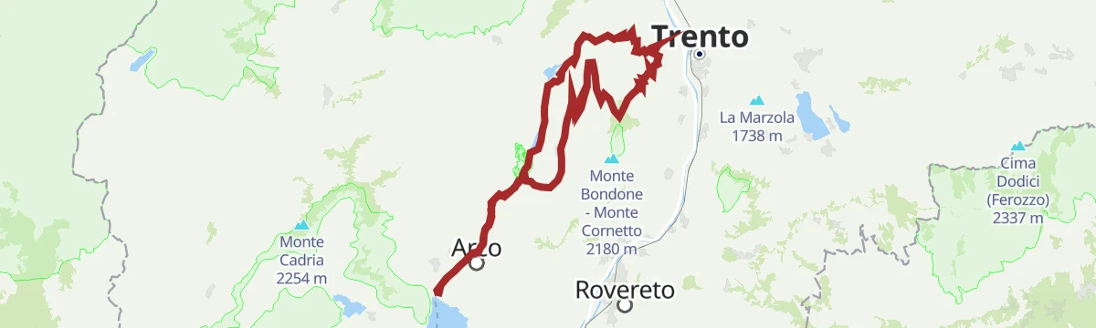
A century ride from Riva del Garda past the Lago di Cavedine to the long 8% east-side climb to the Viote basin, four times a Giro stage finish.
- 99.6 km
- Distance
- 1 950 m
- Ascent
- 10 h 41 min
- Duration
- 135
- Check-ins
 Dos Pelà 460 m
- Doss della Rocchetta 1 108 m
- Capanna Viote 1 568 m
 Lago Mara 1 553 m
- Garda Dolomiti Azienda per il turismo S.p.A. 69 m
- Info Point Riva del Garda 69 m
- +18
Open route Garda TrentinoCavedine Archaeological Trail
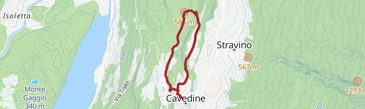
A walk on the west ridge of the Cavedine valley past the so-called Roman fountain, a stone basin fed by the aquifer, and the Assunta wayside shrine.
- 3.9 km
- Distance
- 89 m
- Ascent
- 1 h 7 min
- Duration
Open route Garda TrentinoLake Cavedine loop
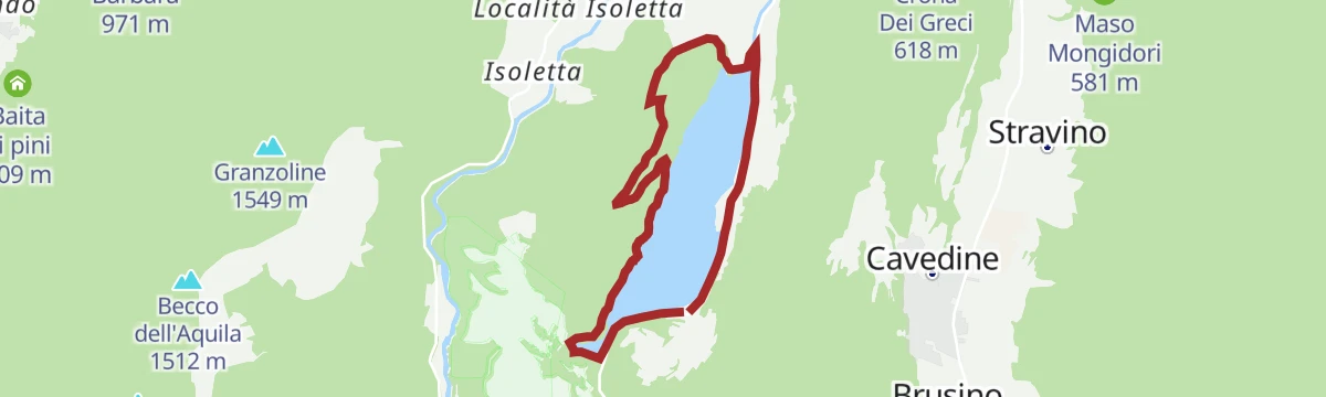
A circuit of Lake Cavedine, part on the shore and part on road along the east side, entering the forest on the west.
- 7.8 km
- Distance
- 72 m
- Ascent
- 1 h 60 min
- Duration
- 10
- Check-ins
Open route Garda TrentinoMonte Velo - Passo Santa Barbara - Monte Bondone
A big three-climb day from Riva del Garda through the Val di Gresta market gardens and over the Passo Bordala, then the haul up to the Viote basin.
- 102.6 km
- Distance
- 2 882 m
- Ascent
- 11 h 49 min
- Duration
- 124
- Check-ins
- Dos Pelà 460 m
- Le Crone 1 240 m
- Doss della Rocchetta 1 108 m
- Capanna Viote 1 568 m
- Lago Mara 1 553 m
- Garda Dolomiti Azienda per il turismo S.p.A. 69 m
- +12
Open route Garda TrentinoRimone G1
A short flat path at Rimone in the Cavedine valley, on the terrace above the Sarca.
- 900 m
- Distance
- 0 m
- Ascent
- 13 min
- Duration
Open route Trentino FishingCavedine Shortcut
A cut-off on the Cavedine tour that returns to Sarche with less climbing, keeping the outlook over the Cavedine lake.
- 7.1 km
- Distance
- 0 m
- Ascent
- 1 h 39 min
- Duration
- 6
- Check-ins
Open route Garda TrentinoBallino - Durone - Stenico
A road circuit from Riva over the Ballino and Durone passes, holding height across to Stenico.
- 87.5 km
- Distance
- 2 198 m
- Ascent
- 9 h 50 min
- Duration
- 71
- Check-ins
- Garda Dolomiti Azienda per il turismo S.p.A. 69 m
- Info Point Riva del Garda 69 m
- Ingarda 603 m
- Bar Ristorante Passo Durone 995 m
- Casa sociale 248 m
- Info Point - Garda Trentino - Arco 90 m
- +7
Open route Garda TrentinoRimone II° B
A level route through Rimone in the Cavedine valley, west of the Sarca gorge.
- 1.7 km
- Distance
- 0 m
- Ascent
- 24 min
- Duration
Open route Trentino FishingPasso S. Uldarico (Cross Country)
A quiet crossing from Drena into the Valle di Cavedine, taking in the Chiesetta di Maria Ausiliatrice and its stations of the cross before an easy descent through the woods.
- 14.5 km
- Distance
- 436 m
- Ascent
- 4 h 28 min
- Duration
- 5
- Check-ins
Open route Garda TrentinoThe Sarca Valley and Lake Cavedine: from Arco to Sarche
An upstream ride to Sarche on the riverside path through apple and plum orchards, coming back past the small lake below the Marocche.
- 36.7 km
- Distance
- 259 m
- Ascent
- 3 h 30 min
- Duration
- 57
- Check-ins
Open route Garda TrentinoSan Siro Variant
A variant on the Passo Udalrico route out to the San Siro chapel, nearly level going on narrow lanes and bridle tracks.
- 8.8 km
- Distance
- 182 m
- Ascent
- 2 h 37 min
- Duration
Open route Garda TrentinoCavedine Gravel Tour
A gravel loop climbing quickly from the olive groves of the Garda basin past the climbing cliffs to Drena, then over into the Valle di Cavedine.
- 44.9 km
- Distance
- 854 m
- Ascent
- 4 h 47 min
- Duration
- 17
- Check-ins
- Crona Dei Greci 618 m
- Agritur Maso Lizzone 126 m
- Centrale di Fies 191 m
- San Siro 500 m
- Agritur "Tenuta i Maroneri" 538 m
Open route Garda TrentinoTour del Lago di Cavedine
A mostly flat tour on cycle paths round Lake Cavedine, with one short pull up from Dro.
- 40.0 km
- Distance
- 244 m
- Ascent
- 3 h 46 min
- Duration
- 17
- Check-ins
Open route Garda TrentinoDivin Nosiola Gravel Tour
A gravel tour from the Santa Massenza power station past Lake Toblino and Lake Cavedine.
- 25.3 km
- Distance
- 553 m
- Ascent
- 2 h 46 min
- Duration
- 14
- Check-ins
- Albergo Miralaghi 248 m
- Troticoltura 252 m
- Troticoltura 262 m
- San Siro 500 m
Open route Garda TrentinoTour della Valle di Cavedine
A quiet-road circuit through the Valley of the Lakes past Toblino and Santa Massenza, returning over Passo San Udalrico on secondary roads.
- 48.2 km
- Distance
- 520 m
- Ascent
- 4 h 46 min
- Duration
- 11
- Check-ins
Open route Garda TrentinoTour della Valle dei Laghi
A ride across the Valle dei Laghi, taking in the Terlago, Santa Massenza, Toblino and Cavedine lakes.
- 64.7 km
- Distance
- 752 m
- Ascent
- 6 h 27 min
- Duration
- 6
- Check-ins
- Casa sociale 248 m
- Pesca Sportiva Agostel 496 m
Open route Garda Trentino





No routes of this kind in Cavedine yet.
The region's own picks

Featured route
Lago di Cavedine E
A flat stretch along the shore of Lake Cavedine, south of the Sarca valley.
Planning a trip to Cavedine?
Everything else Trentino-Alto Adige/Südtirol has, in one place


Take Cavedine with you into the mountains
Every route on this page with 3D terrain, GPX navigation and offline maps — including the valleys with no signal.
Data sources
- Official website: visittrentino.info ↗
- Routes and highlights: Visitrovereto, Garda Trentino, Trentino Fishing, Italia.it, Rete di Riserve Bondone
- Published as open data by the tourist boards named above.
- Region summary generated from the board's own material.
