






Curated by APT Fiemme Cembra
Cavalese
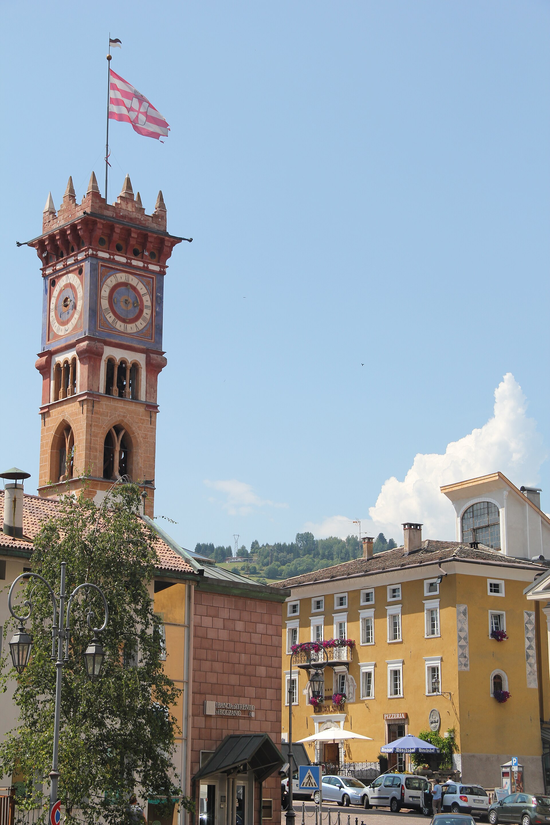
The Val di Fiemme's main town on a sunny terrace, its Palazzo della Magnifica Comunità facing the Latemar.
- 9Highlights
- 44Routes
- Featured summit · Paion del Cermis
Highlights
All 9 from neighbouring places
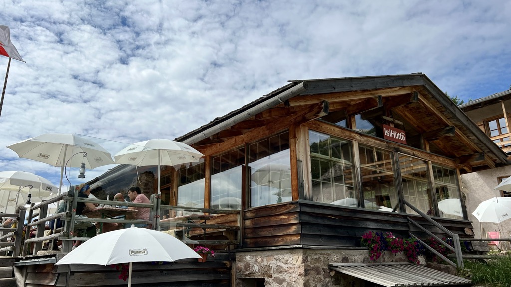
Malga ISI
11 km away, in Aldino/Aldein
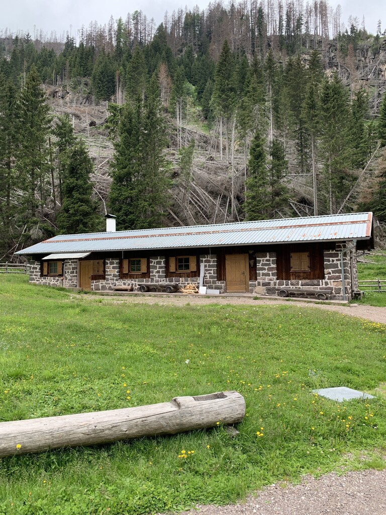
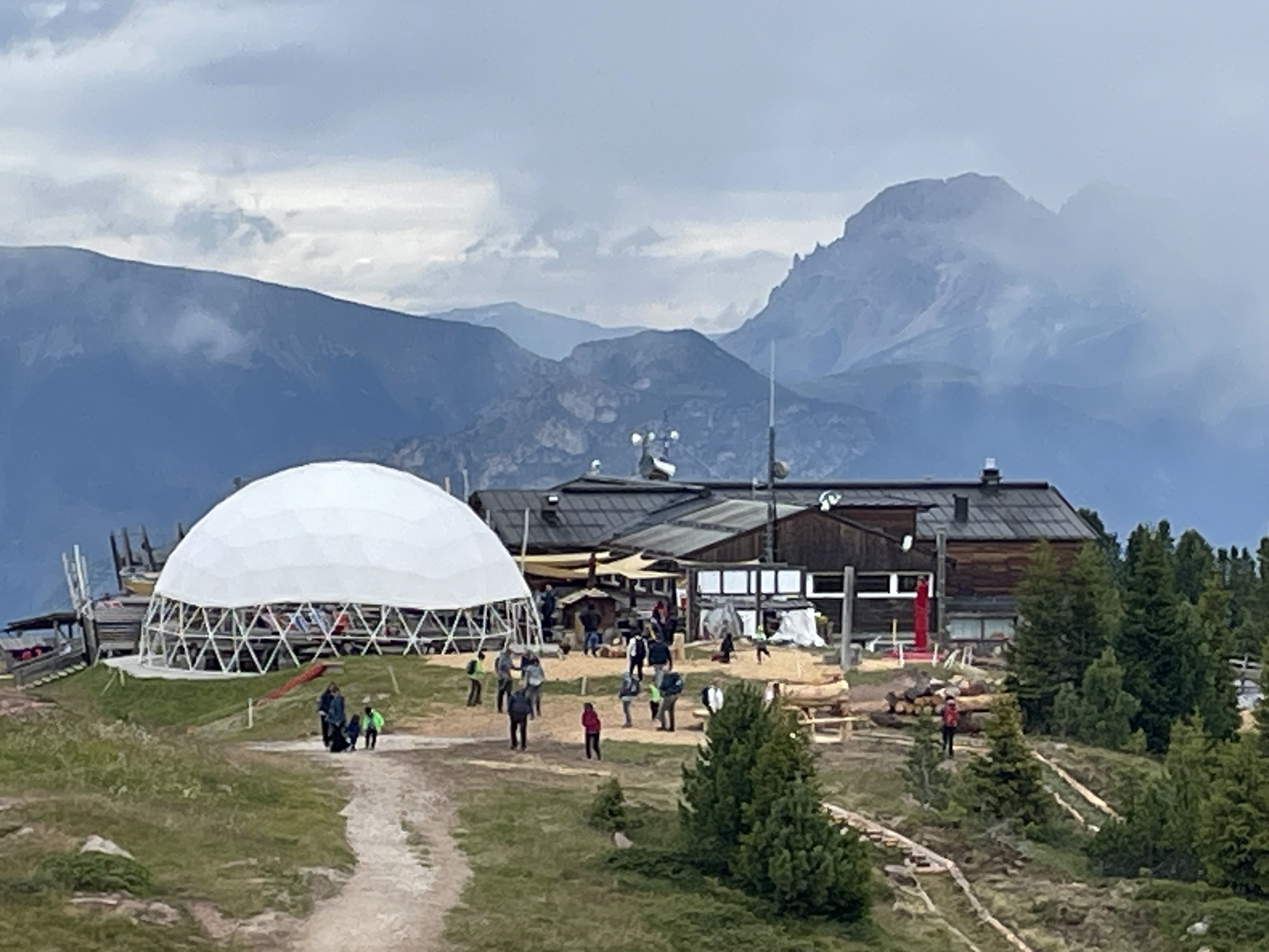
A dairy hut turned mountain restaurant above Aldino, on the Regglberg pastures below the Corno Bianco.
Malga Ristoro Isi
11 km away, in Aldino/Aldein
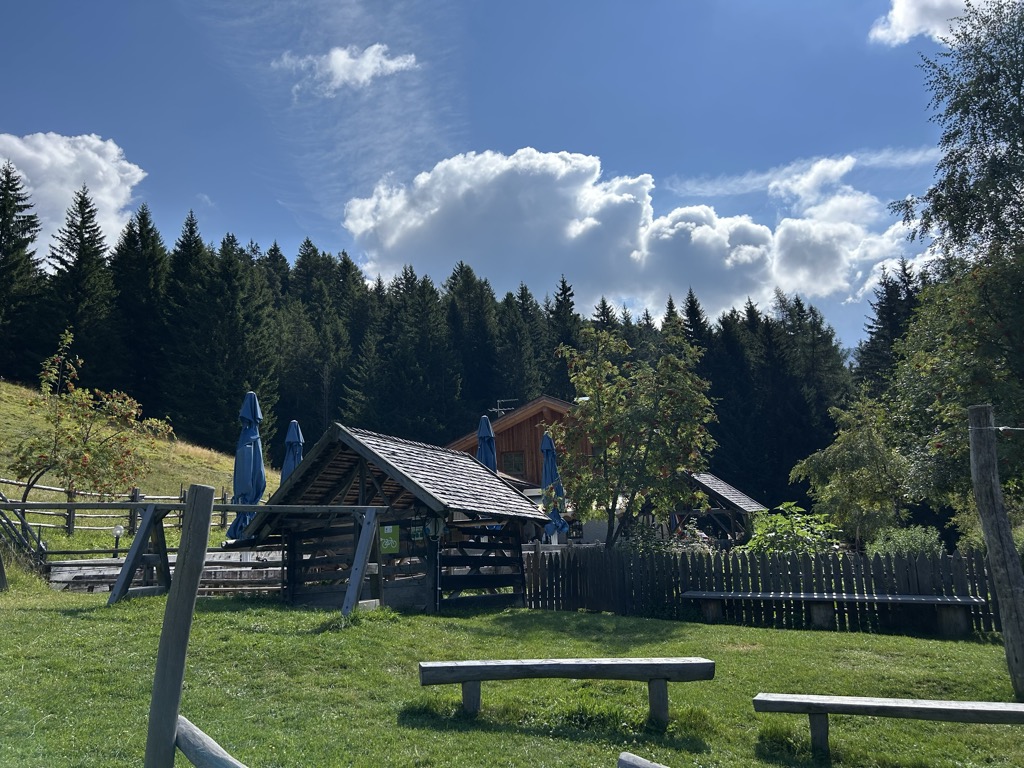
A pasture restaurant above Aldino, in the meadows of the Regglberg plateau below the Corno Bianco, near the Passo Oclini road.
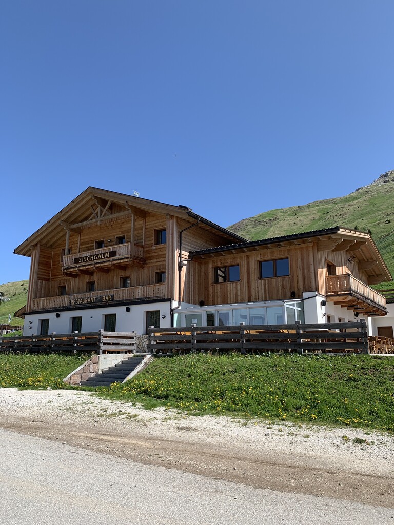
Sterzing, Pfitsch und FreienfeldMalga Zischgalm
12.9 km away, in Nova Ponente/Deutschnofen
A pasture hut above Nova Ponente, reached on foot from the Obereggen side of the Val d'Ega.
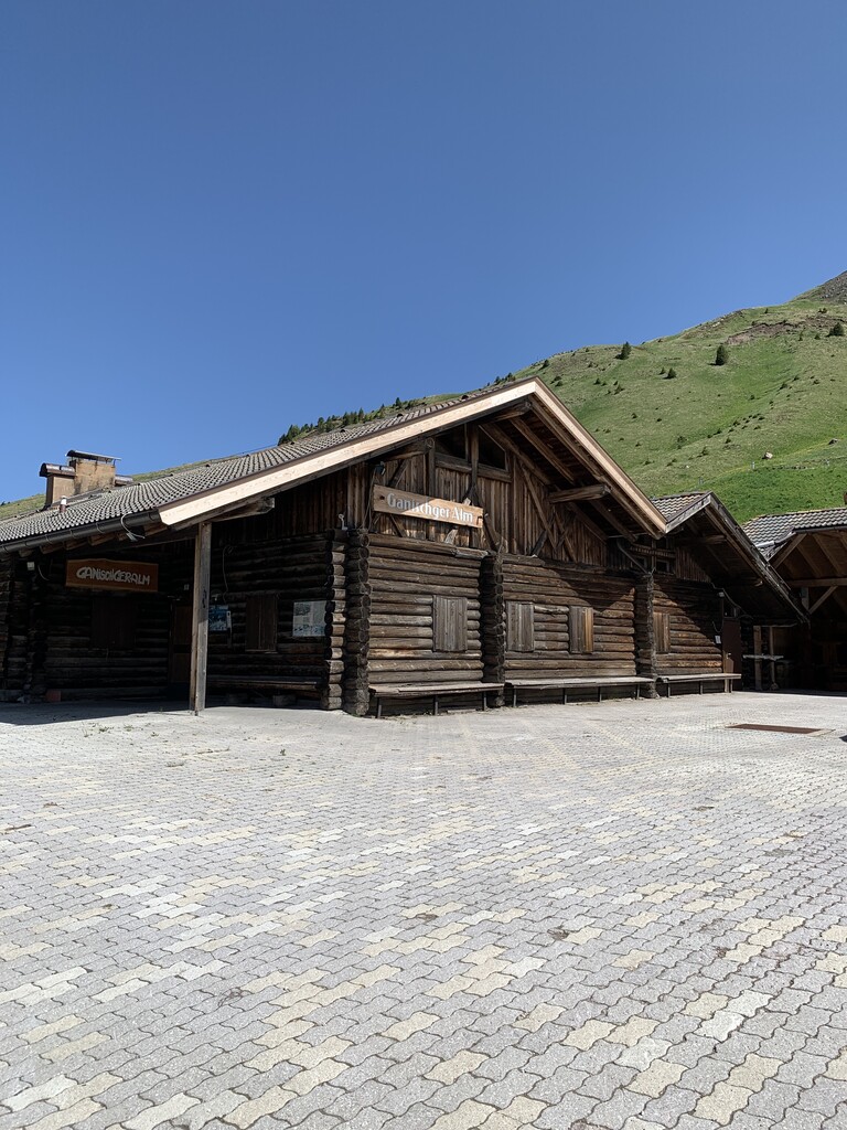
Malga Ganischger – The Mountain Party
13 km away, in Nova Ponente/Deutschnofen
A dairy hut on the pastures above Nova Ponente, near Obereggen at the foot of the Latemar.
Baita Gardoné – The Mountain Riviera
13.3 km away, in Predazzo
A baita on the Gardonè shelf above Predazzo, at the foot of the Latemar and reached by the cable car from the valley.
Malga Costa
13.7 km away, in Nova Ponente/Deutschnofen
A dairy hut on the Costa pastures above Nova Ponente, in the Val d'Ega below the Latemar.
Sterzing, Pfitsch und FreienfeldMalga Valmaggiore
14.2 km away, in Predazzo
A dairy hut at the head of the Val Travignolo above Predazzo, a base for the walks and climbs on the Lagorai side.
Malga Lahner
14.3 km away, in Aldino/Aldein
A dairy hut on the Lahner pastures above Aldino, reached by the forest road that climbs from the village toward the Corno Bianco.
Rifugio Oberholz
14.9 km away, in Nova Ponente/Deutschnofen
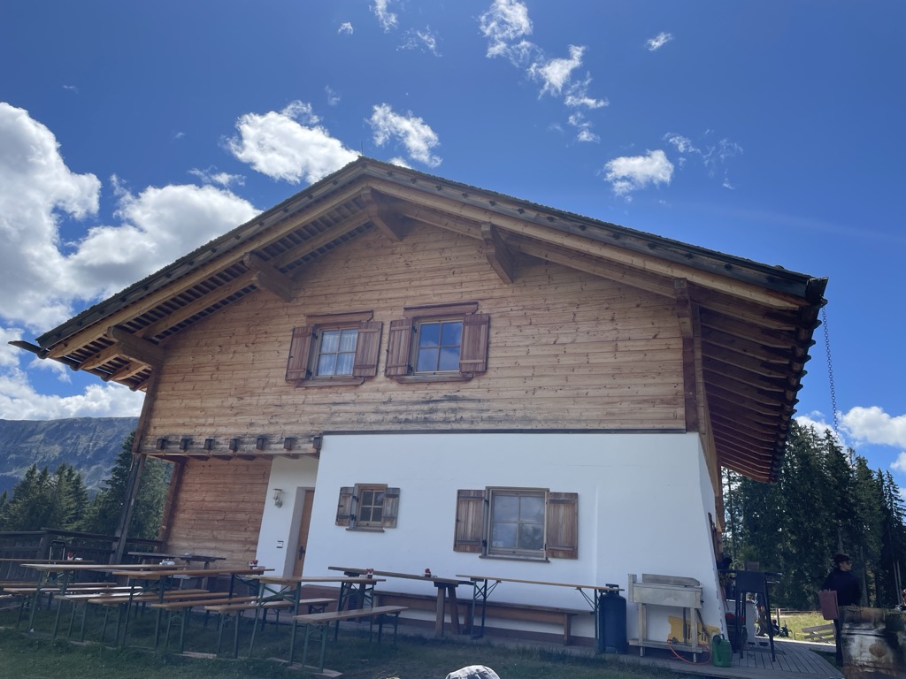
A timber-and-glass mountain hut above Obereggen, at the top of the chairlift below the Latemar, in the comune of Nova Ponente.
Nothing of this kind in Cavalese.
Routes
Bombasel Lakes with baby carrier
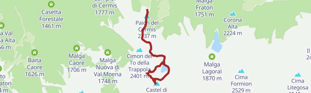
A carrier-friendly walk from the top of the Cermis lifts above Cavalese to the Bombasel lakes, set among the dark rocks of the Lagorai.
- 4.8 km
- Distance
- 201 m
- Ascent
- 1 h 37 min
- Duration
- 83
- Check-ins
 Paion del Cermis 2 237 m
- Corde de Bombasèl 2 319 m
 Rifugio Paion del Cermis 2 229 m
 Forcella di Bombasel 2 176 m
- Lo Chalet 2 179 m
 Laghi di Bombasel 2 268 m
Open route APT Fiemme CembraCermiSkyline
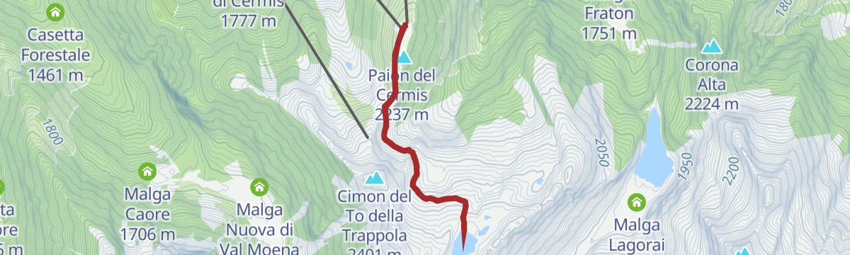
A ridge route on the Alpe Cermis up the Castel di Bombasel, the exposed Vertigo section avoidable by easier variants, above the Bombasel lakes.
- 6.8 km
- Distance
- 458 m
- Ascent
- 3 h 4 min
- Duration
- 90
- Check-ins
- Paion del Cermis 2 237 m
- Corde de Bombasèl 2 319 m
- Rifugio Paion del Cermis 2 229 m
- Forcella di Bombasel 2 176 m
- Lo Chalet 2 179 m
- Forcella del Macaco 2 278 m
- +1
Open route APT Fiemme CembraTranslagorai - Stage 1
The first stage of the Translagorai, climbing from the Passo Manghen over the Ziolera along the crest of the range.
- 12.6 km
- Distance
- 1 073 m
- Ascent
- 6 h 12 min
- Duration
- 83
- Check-ins
- Ziolera 2 481 m
- Cima Di Valsolero 2 283 m
- Forcella Montalon 2 133 m
- Passo Manghen 2 047 m
- Forcella Valsorda 2 256 m
- Sella del Mugon 2 204 m
- +6
Open route APT Fiemme CembraConnection from Cavalese to the cycle path
A short link down from Cavalese to the valley cycle path, using the tunnel of the old Ora–Predazzo railway and passing the houses of Cavazzal.
- 3.5 km
- Distance
- 13 m
- Ascent
- 22 min
- Duration
Open route APT Fiemme CembraGiro d'Italia Climbs - Lavazè Pass
A road climb from the Val di Fiemme up to the Passo di Lavazè at 1,807 m, with over 800 m of ascent in under 10 km.
- 10.0 km
- Distance
- 804 m
- Ascent
- 1 h 24 min
- Duration
- 40
- Check-ins
Open route APT Fiemme CembraLatemar Tour
A long road circuit of the Latemar, over the Passo di Costalunga past the Lago di Carezza and back across the Passo di Lavazè.
- 74.4 km
- Distance
- 2 039 m
- Ascent
- 8 h 31 min
- Duration
- 603
- Check-ins
- Karer See - Lago di Carezza 1 533 m
- Passo di Costalunga - Karerpass 1 745 m
- Bar & Imbiss Kareesee 1 559 m
- Antermont 1 759 m
- Passo di Lavazè 1 807 m
- GolfHotel 1 754 m
- +24
Open route APT Fiemme CembraBombasel Lakes
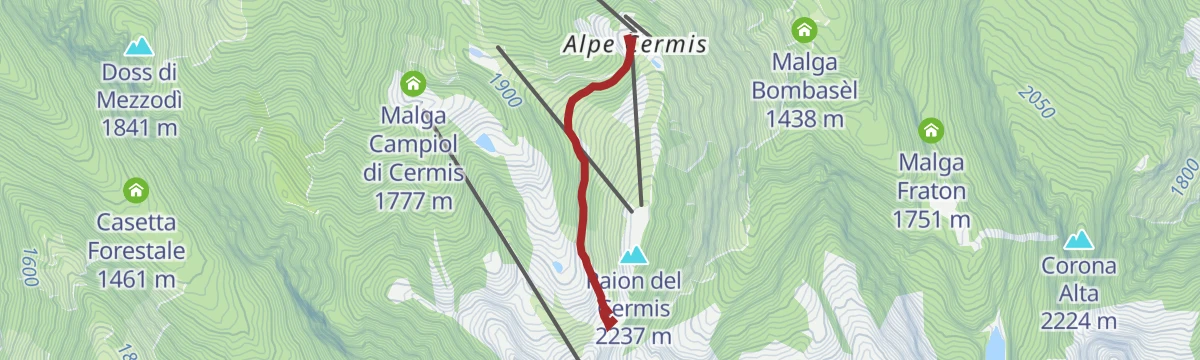
An easy walk at around 2,000 m on the Alpe Cermis to the Bombasel lakes, the height gained by lift, with one short cable-assisted step.
- 4.4 km
- Distance
- 171 m
- Ascent
- 1 h 28 min
- Duration
- 71
- Check-ins
- Paion del Cermis 2 237 m
- Rifugio Paion del Cermis 2 229 m
- Forcella di Bombasel 2 176 m
- Lo Chalet 2 179 m
Open route APT Fiemme CembraA view over the Moena Valley
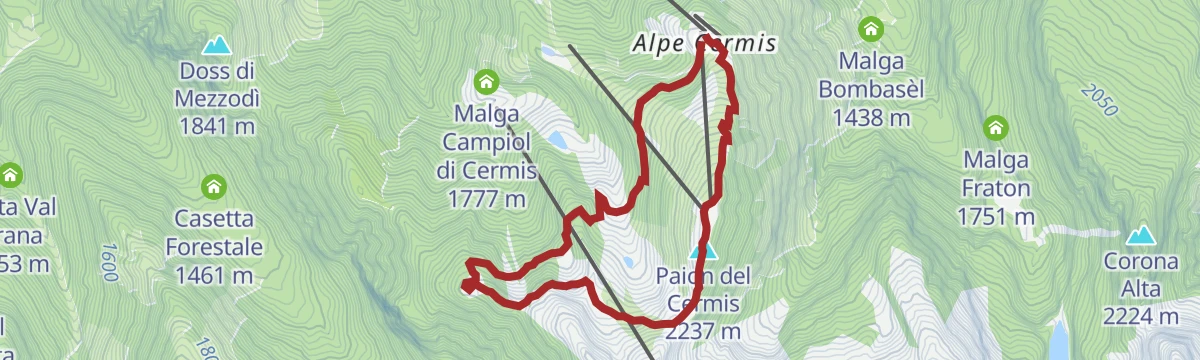
A route through old stone pine forest on the Alpe Cermis to the To della Trappola ridge, which looks across the Val Moena in the Lagorai.
- 6.2 km
- Distance
- 336 m
- Ascent
- 2 h 23 min
- Duration
- 71
- Check-ins
- Paion del Cermis 2 237 m
- Rifugio Paion del Cermis 2 229 m
- Forcella di Bombasel 2 176 m
- Lo Chalet 2 179 m
Open route APT Fiemme CembraTrenches and the Brozin Biotope - Tour 923
A long round through the meadows and villages around Cavalese into the Solombo forest, past overgrown Great War trenches and the Brozin wetland.
- 25.8 km
- Distance
- 667 m
- Ascent
- 7 h 42 min
- Duration
- 26
- Check-ins
- Passo di San Lugano - San-Lugano-Sattel 1 097 m
- Antonio Longo 1 104 m
- Hotel Lagorai Alpine Resort & Spa 1 012 m
- Hotel Ganzaie 1 332 m
- Residence Volperossa 1 129 m
- Visit Fiemme 999 m
- +2
Open route APT Fiemme CembraEasy Bike Ring – blue
An easy ring from Cavalese down to the Avisio, on to Molina di Fiemme and home by way of Predaia and Castello di Fiemme.
- 12.2 km
- Distance
- 268 m
- Ascent
- 1 h 20 min
- Duration
- 1
- Check-ins
Open route APT Fiemme CembraTour Pampeago - Passo Lavazè
Two hard road climbs in one loop out of Tesero, topping out at the Reiterjoch at 1,983 m and again on the Lavazè plateau.
- 40.3 km
- Distance
- 1 580 m
- Ascent
- 5 h 4 min
- Duration
- 343
- Check-ins
- Baita della Scofa 2 006 m
- Zischgalm 2 010 m
- Passo di Lavazè 1 807 m
- Ganischger Alm 2 017 m
- Reiterjoch - Passo di Pampeago 1 983 m
- Ski Bar 1 761 m
- +14
Open route APT Fiemme CembraOn the Tracks of Nature
An easy high path on the Alpe Cermis with panels on the animals and plants of the Fiemme mountains.
- 3.9 km
- Distance
- 183 m
- Ascent
- 1 h 23 min
- Duration
- 26
- Check-ins
Open route APT Fiemme CembraMontagna Senza Limiti - Cavalese Waterfall: where nature becomes melody
A shaded forest walk above Cavalese by the pastures of Malga Salanzada to the village waterfall, with benches at the openings over the valley.
- 9.9 km
- Distance
- 277 m
- Ascent
- 3 h
- Duration
- 19
- Check-ins
Open route APT Fiemme CembraVal Cadino and the waterfall - Tour 925
A long round past the working Venetian sawmill and up the Val Cadino through spruce and fir, with Arodolo looking to the Stramentizzo reservoir.
- 22.3 km
- Distance
- 792 m
- Ascent
- 7 h 12 min
- Duration
- 5
- Check-ins
- Ristorante Pizzeria Pineta 861 m
- Agritur Malga Arodolo 1 217 m
- Maso Novelli 815 m
- Tourist Info 996 m
- El Calderon 973 m
Open route APT Fiemme CembraEasy Bike Ring – yellow
A short family loop from Tesero down to the Avisio, along the Fiemme cycle path to Masi di Cavalese and back by Maso Chemela.
- 9.8 km
- Distance
- 189 m
- Ascent
- 1 h 3 min
- Duration
- 1
- Check-ins
Open route APT Fiemme CembraFiemme and Fassa Dolomites cycle route
A surfaced valley cycle path linking the Val di Fiemme with the Val di Fassa, running up to Canazei with a summer bike shuttle.
- 47.4 km
- Distance
- 710 m
- Ascent
- 4 h 38 min
- Duration
- 281
- Check-ins
- Baita Al Parco 1 438 m
- Azienda Turistica 1 307 m
- Park Hotel Faloria 1 453 m
- Ufficio Turistico APT Fassa 1 374 m
- Baita Ischia 1 412 m
- Bici Grill Moena 1 147 m
- +7
Open route APT Fiemme CembraTorrente Avisio A - Tesero
A level route along the Avisio between Cavalese and Tesero, following the river across the floor of the Val di Fiemme.
- 6.5 km
- Distance
- 67 m
- Ascent
- 1 h 38 min
- Duration
- 6
- Check-ins
Open route Trentino FishingAlpine pasture walk in Salanzada
A cool forest track down to the Salanzada clearing, where cattle graze at the huts, then a gentle descent to the Cavalese waterfall.
- 7.6 km
- Distance
- 89 m
- Ascent
- 2 h 23 min
- Duration
- 18
- Check-ins
Open route APT Fiemme CembraRio Cermis D
A steep line following the Rio Cermis up from the floor of the Val di Fiemme onto the slopes of the Alpe Cermis.
- 5.5 km
- Distance
- 1 127 m
- Ascent
- 4 h 9 min
- Duration
Open route Trentino FishingEasy Bike Ring - blue bis
A family loop from Cavalese to the waterfall, along the Avisio cycle route to Masi and back up through the meadows above town.
- 11.0 km
- Distance
- 225 m
- Ascent
- 1 h 11 min
- Duration
Open route APT Fiemme CembraDolomites Cycle & Footpath in the Fiemme and Fassa Valleys
A nearly level path for bikes and walkers between the Fiemme and Fassa valleys, through meadow, forest and village.
- 49.1 km
- Distance
- 27 m
- Ascent
- 4 h 37 min
- Duration
- 244
- Check-ins
- Baita Al Parco 1 438 m
- Azienda Turistica 1 307 m
- Park Hotel Faloria 1 453 m
- Bici Grill Moena 1 147 m
- Pensione Villa Paola 1 484 m
- Maso Rosè 1 249 m
- +6
Open route APT Val di FassaRio Forame C
A level route beside the Rio Forame in the woods above Cavalese, following the stream on easy ground.
- 4.1 km
- Distance
- 0 m
- Ascent
- 1 h 46 min
- Duration
- 1
- Check-ins
Open route Trentino FishingRafting Val di Fiemme
A route along the Avisio through the Fiemme valley, the stretch of river used by the local rafting outfits.
- 10.3 km
- Distance
- 14 m
- Ascent
- 2 h 33 min
- Duration
- 10
- Check-ins
Open route APT Fiemme CembraSantuario di Pietralba
A big road day from the Fiemme valley over the Passo di Lavazè and the Passo di Pramadiccio to the sanctuary above Aldino.
- 59.4 km
- Distance
- 1 701 m
- Ascent
- 6 h 53 min
- Duration
- 93
- Check-ins
- Passo di Lavazè 1 807 m
- Cappella della Beata Vergine del Rosario della nuova Pompei 985 m
- Hotel Erica 1 224 m
- Al Ponte - Brückenwirt 764 m
- Lago di Lavazè 1 805 m
- Passo di Pramadiccio 1 431 m
- +10
Open route APT Fiemme CembraCavalese - Panoramic walk
A short walk from the Parco della Pieve onto the bed of the old Ora to Predazzo railway, closed in 1963, and through its tunnel.
- 3.0 km
- Distance
- 86 m
- Ascent
- 55 min
- Duration
Open route APT Fiemme CembraRio Lavazè E
A level route beside the Rio Lavaze below the plateau of the same name in the Fiemme valley.
- 9.3 km
- Distance
- 0 m
- Ascent
- 2 h 59 min
- Duration
- 1
- Check-ins
Open route Trentino FishingGravel Tour - Val di Fiemme
A gravel loop touching most villages of the valley, over the Passo di San Lugano and back to Predazzo on the cycle path beside the Avisio.
- 52.4 km
- Distance
- 1 021 m
- Ascent
- 5 h 37 min
- Duration
- 57
- Check-ins
- Bistrot & Shop - Caseificio Sociale Predazzo e Moena 987 m
- CRM 1 001 m
- Passo di San Lugano - San-Lugano-Sattel 1 097 m
- Antonio Longo 1 104 m
- Hotel Erica 1 224 m
- Hotel Ganzaie 1 332 m
- +4
Open route APT Fiemme CembraLago Forame G
A very short, level walk at the Forame lake in the woods above Cavalese.
- 364 m
- Distance
- 11 m
- Ascent
- 7 min
- Duration
Open route Trentino FishingDiscovering one of the wonders of Val di Fiemme
A walk from the hamlet of Masi di Cavalese through meadows to the Salanzada plateau, then down forest road to the twenty-metre Cavalese waterfall.
- 7.8 km
- Distance
- 193 m
- Ascent
- 2 h 19 min
- Duration
Open route APT Fiemme CembraCembra Valley - Pinè Plateau
A hundred-kilometre road tour out of Ziano di Fiemme, crossing to the Piné plateau and returning down the Cembra valley.
- 100.3 km
- Distance
- 2 000 m
- Ascent
- 10 h 47 min
- Duration
- 53
- Check-ins
- Dolomiti Energia 1 026 m
- Misconel Srl 894 m
- APT Piné 974 m
- Capanna 939 m
- Hotel Lagorai Alpine Resort & Spa 1 012 m
- Antico Mas del Medico 854 m
- +14
Open route APT Fiemme CembraMontagna Senza Limiti - Circular route Cavalese - Castello di Fiemme
An asphalt circuit from Cavalese out to Castello di Fiemme, a balcony over the Lagorai chain, with the short steep pulls on the way back.
- 4.8 km
- Distance
- 62 m
- Ascent
- 1 h 16 min
- Duration
Open route APT Fiemme CembraGravel Tour - Larch Route
A gravel loop out of the Val di Fiemme over the Passo di San Lugano, taking in the Malga Salanzada and the Baita Tabià.
- 51.5 km
- Distance
- 1 189 m
- Ascent
- 5 h 42 min
- Duration
- 51
- Check-ins
- Malga Salanzada 1 033 m
- Passo di San Lugano - San-Lugano-Sattel 1 097 m
- Antonio Longo 1 104 m
- Hotel Lagorai Alpine Resort & Spa 1 012 m
- Baita Tabià 1 099 m
- Hotel Waldheim 1 219 m
- +8
Open route APT Fiemme CembraMontagna Senza Limiti - Loop of Parco della Pieve
A loop of the Parco della Pieve on its hill above Cavalese, circling the tall bell tower of Santa Maria Assunta with the Avisio below.
- 2.8 km
- Distance
- 41 m
- Ascent
- 45 min
- Duration
Open route APT Fiemme CembraMount Horn Nature Park
A long road tour from Ziano di Fiemme over to the Trudner Horn nature park, returning up the Fiemme valley past the Vecchia Stazione.
- 50.7 km
- Distance
- 755 m
- Ascent
- 5 h 12 min
- Duration
- 29
- Check-ins
- Misconel Srl 894 m
- Ristorante Bar Vecchia Stazione 1 010 m
- Capanna 939 m
- Hotel Lagorai Alpine Resort & Spa 1 012 m
- Hotel Waldheim 1 219 m
- Antico Mas del Medico 854 m
- +4
Open route APT Fiemme CembraMontagna Senza Limiti - Unusual walk along the Rio Gambis
A town walk in Cavalese along the Marcialonga finishing straight and the Don Bruno Bonelli promenade, the Lagorai in sight from Via Paradisi.
- 3.0 km
- Distance
- 34 m
- Ascent
- 47 min
- Duration
Open route APT Fiemme CembraVal di Cembra
A long ride down the Avisio side valley to Segonzano and its earth pyramids, with a final climb back up to Cavalese.
- 66.6 km
- Distance
- 1 466 m
- Ascent
- 7 h 17 min
- Duration
- 19
- Check-ins
- Chiosco alle Piramidi 601 m
- Pizzeria Bar Al Lago 802 m
- Pizzeria 4 Venti 869 m
- Simoni 817 m
- Maso Grava 855 m
- Sega Vècia 777 m
- +5
Open route APT Fiemme CembraRio Lagorai B
A level route beside the Rio Lagorai, the stream draining the high lakes above Tesero.
- 6.5 km
- Distance
- 15 m
- Ascent
- 2 h 28 min
- Duration
Open route Trentino FishingGravel route - Solombo and Waterfall
A gravel route above the Avisio by the Malga Arodolo, taking in the Cavalese waterfall before the last climb.
- 48.3 km
- Distance
- 1 050 m
- Ascent
- 5 h 17 min
- Duration
- 8
- Check-ins
- Ristorante Pizzeria Pineta 861 m
- Hotel Ganzaie 1 332 m
- Residence Volperossa 1 129 m
- Agritur Malga Arodolo 1 217 m
- Maso Novelli 815 m
- Maso Toffa 1 058 m
- +2
Open route APT Fiemme CembraRio Val Moena
A level route along the Rio Val Moena, following the stream down its side valley towards the Avisio.
- 6.1 km
- Distance
- 0 m
- Ascent
- 2 h 14 min
- Duration
Open route Trentino FishingFiemme cycle route
A near-level valley cycle path along the Avisio between Predazzo and Molina di Fiemme, running through village centres and shaded woodland.
- 20.0 km
- Distance
- 70 m
- Ascent
- 1 h 55 min
- Duration
- 1
- Check-ins
Open route APT Fiemme CembraTorrente Avisio A - Cavalese
A level riverside walk along the Avisio between Castello-Molina and Cavalese.
- 5.0 km
- Distance
- 51 m
- Ascent
- 1 h 16 min
- Duration
Open route Trentino FishingTorrente Avisio AT
A short flat walk along the Avisio on the floor of the Fiemme valley at Tesero.
- 3.0 km
- Distance
- 11 m
- Ascent
- 46 min
- Duration
Open route Trentino Fishing“Points of view” over Cavalese
A short circuit over Cavalese by three lookouts: the Lucianella turret, the wooden Pagoda and the Coronelle hill above the water tank.
- 2.2 km
- Distance
- 73 m
- Ascent
- 42 min
- Duration
Open route APT Fiemme Cembra“Steps through time” in Cavalese
A walk past the tower of San Valerio, the old Venetian sawmill and the bed of the closed railway at Cavalese, between dry-stone crop terraces.
- 4.1 km
- Distance
- 170 m
- Ascent
- 1 h 23 min
- Duration
Open route APT Fiemme Cembra
No routes of this kind in Cavalese yet.
The region's own picks
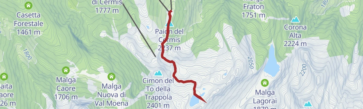
Featured route
Bombasel Lakes with baby carrier
A carrier-friendly walk from the top of the Cermis lifts above Cavalese to the Bombasel lakes, set among the dark rocks of the Lagorai.
Planning a trip to Cavalese?
Everything else Trentino-Alto Adige/Südtirol has, in one place


Take Cavalese with you into the mountains
Every route on this page with 3D terrain, GPX navigation and offline maps — including the valleys with no signal.
Data sources
- Official website: visitfiemme.it ↗
- Routes and highlights: APT Fiemme Cembra, Trentino Fishing, Sterzing, Pfitsch und Freienfeld, YesAlps, APT Val di Fassa
- Published as open data by the tourist boards named above.
- Region summary generated from the board's own material.
