
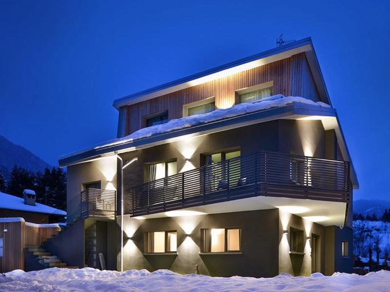
 Mountain hut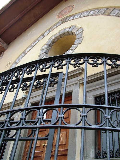
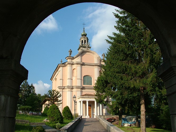
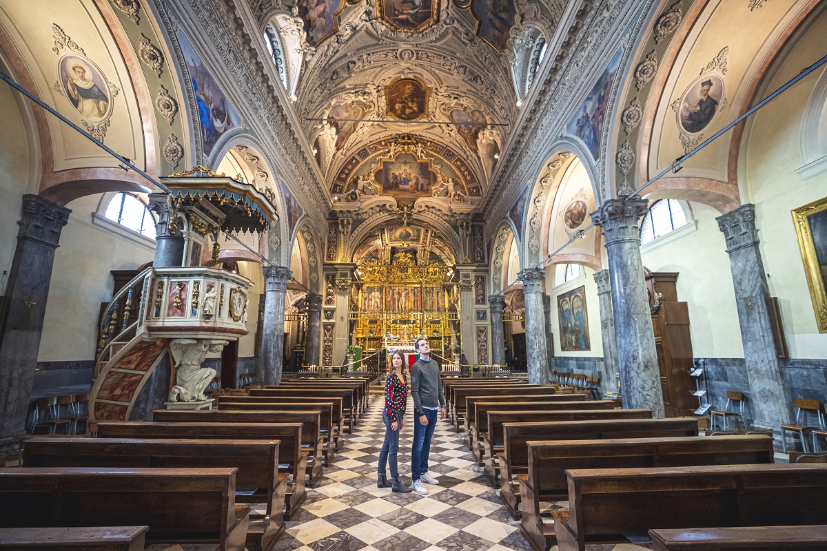
 Historic site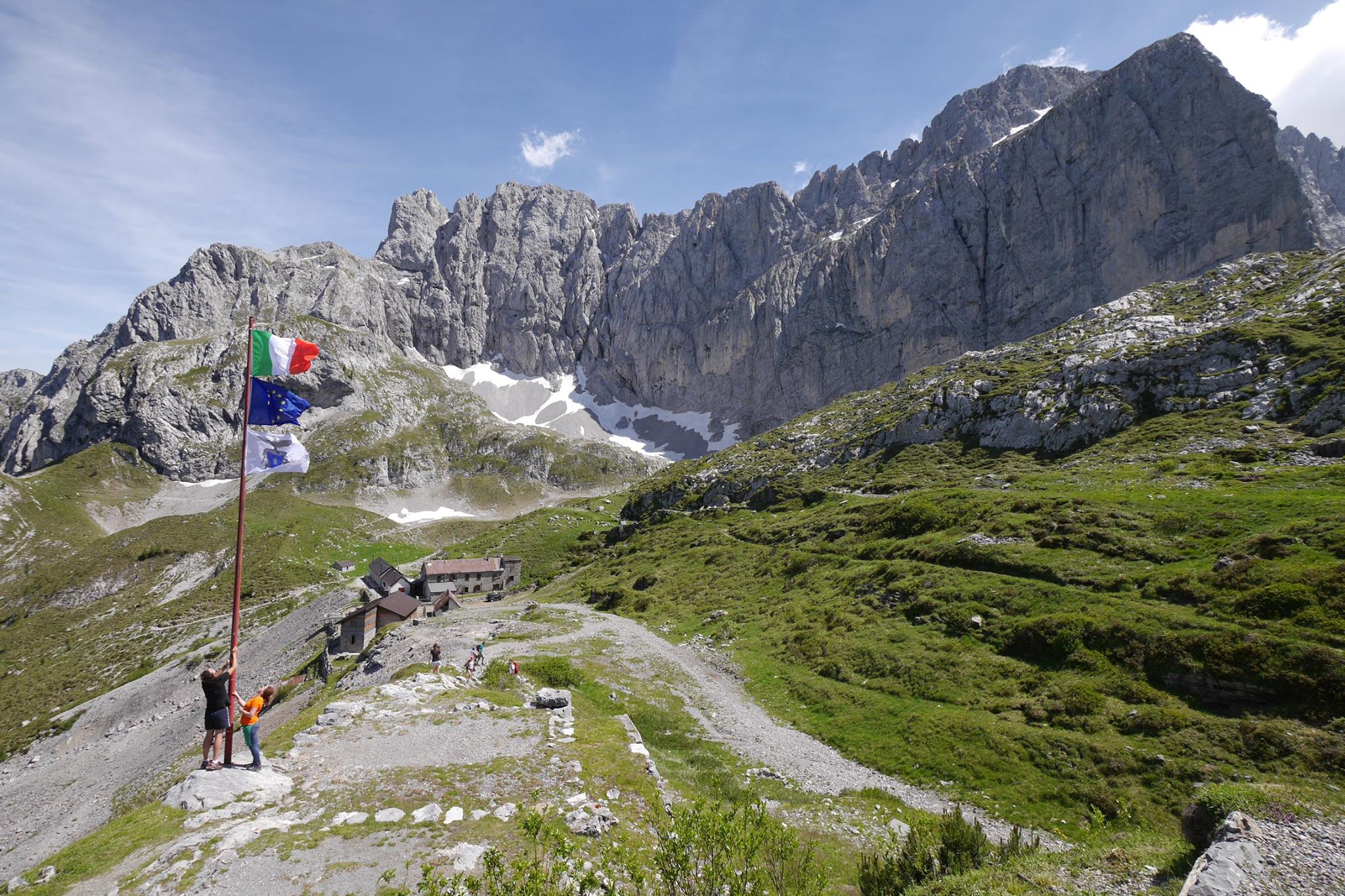
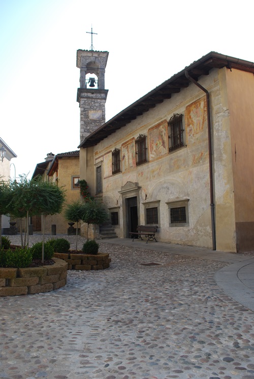
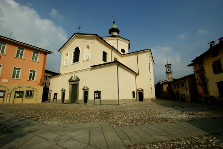
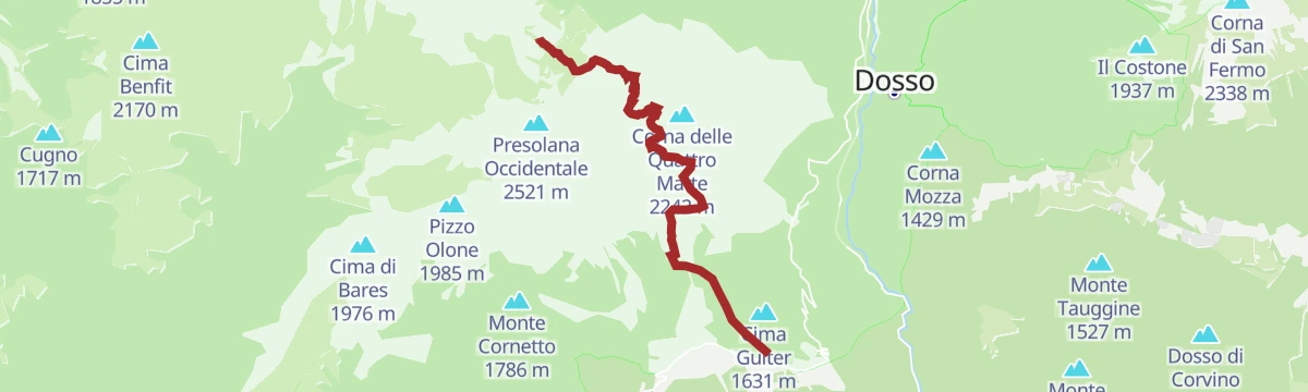










Curated by Val Seriana
Castione della Presolana
The Bergamasque resort on the pass below the south face of the Presolana, with the Monte Pora slopes above.
- 7Highlights
- 24Routes
- Featured summit · Presolana Occidentale
Highlights
8 from neighbouring places
Rifugio del Risol
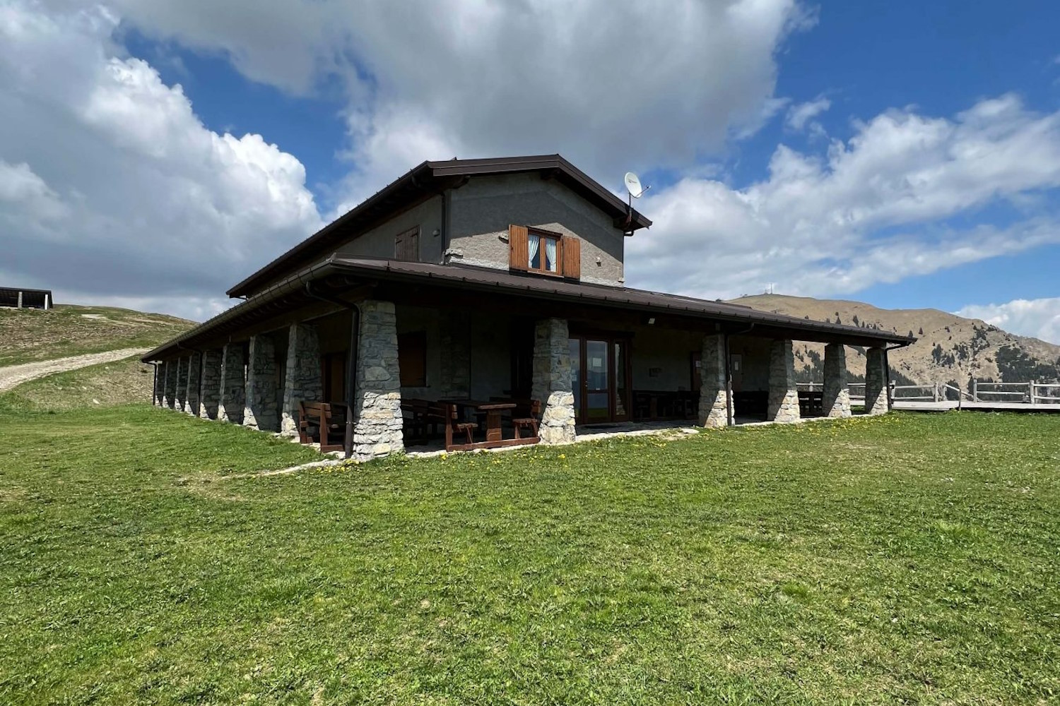
A hut on the Risol pastures above Castione della Presolana, below the Presolana's south face.
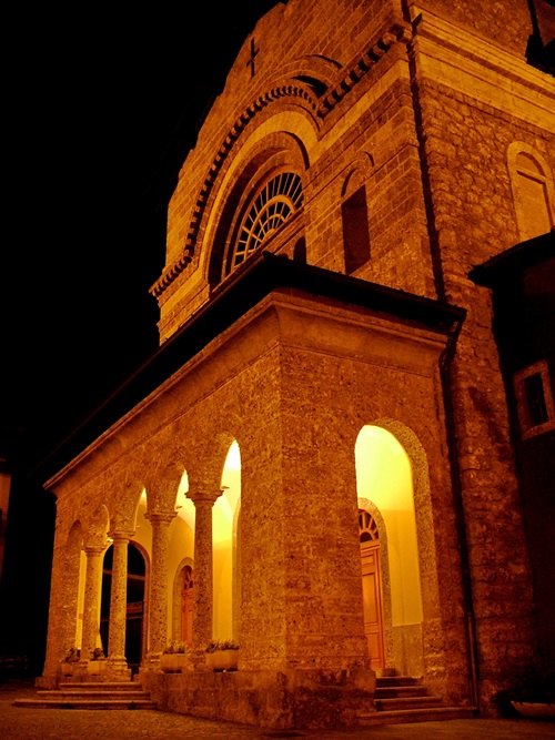
Chiesa di San Rocco
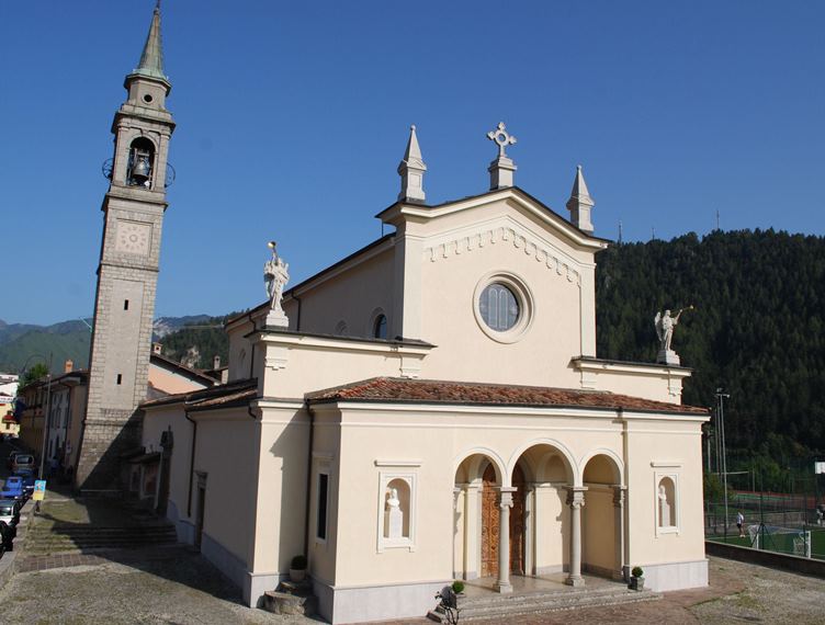
The church of San Rocco at Castione della Presolana, in the Val Seriana below the Presolana.
Chiesa parrocchiale della Natività di Maria Vergine a Bratto
The parish church of the Nativity of Mary at Castione della Presolana.
Chiesa parrocchiale di S. Alessandro Martire
The parish church of Sant'Alessandro at Castione della Presolana, below the Presolana massif.
Il Santuario di Lantana
A pilgrimage church at Lantana above Castione della Presolana, kept for the miracles credited to the Virgin there.
La valle dei mulini e la chiesa di San Péder (San Pietro)
The mill valley below Castione della Presolana and its church of San Peter, on the old paths to Rusio.
Rusio e la chiesa di San Giacomo
The hamlet of Rusio above Castione della Presolana, with its church of San Giacomo.
Castello di Fino del Monte
5.1 km away, in Fino del Monte
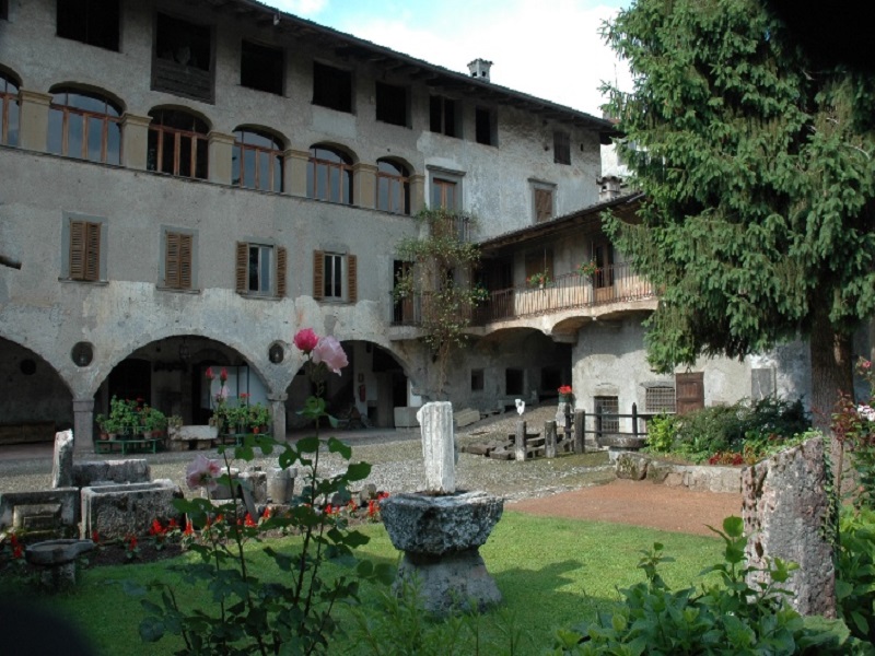
A fortified house at Fino del Monte on the Clusone plateau, below the Presolana.
Rifugio Albani
5.4 km away, in Colere
A hut at 1,939 m below the north wall of the Presolana, the base for its hardest climbing routes.
Chiesa S. Salvatore
5.4 km away, in Fino del Monte
A church at Fino del Monte, on the plateau above the Val Seriana.
Chiesa parrocchiale dedicata a S. Andrea Apostolo
5.5 km away, in Fino del Monte
The parish church of Fino del Monte, below the Presolana.
Rifugio Pian de la Palù
5.5 km away, in Rogno
A hut in the wooded hills above Rogno, between the lower Val Camonica and the northern end of Lake Iseo.
Casa museo Fantoni
5.7 km away, in Rovetta
A house-museum in Rovetta holding the drawings, wooden and marble works and terracotta models of the Fantoni, a dynasty of Val Seriana sculptors.
Chiesa dei Disciplini
5.9 km away, in Rovetta
The church of the Disciplini confraternity in Rovetta, in the upper Val Seriana below the Presolana.
Chiesa parrocchiale dedicata a Ognissanti
5.9 km away, in Rovetta
The All Saints parish church of Rovetta on the Clusone plateau.
Nothing of this kind in Castione della Presolana.
Routes
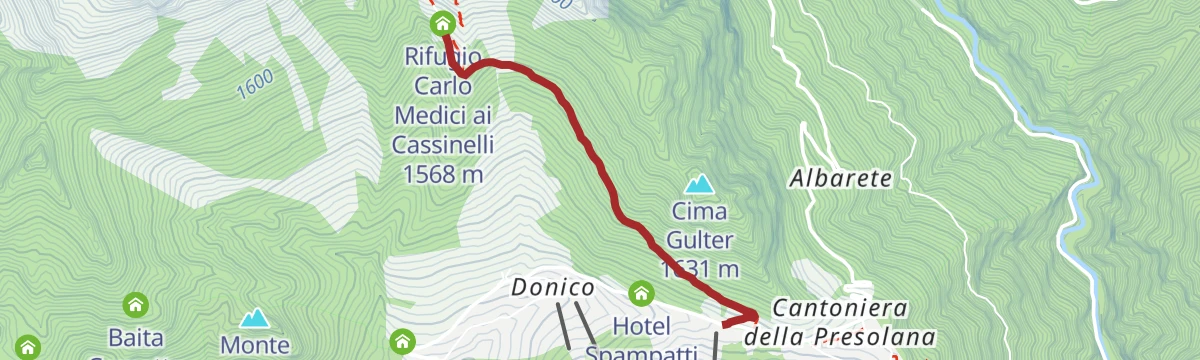
Trekking al Rifugio Medici sotto la Presolana
From the Presolana pass up to the Medici hut, under the south face of the Presolana.
- 5.7 km
- Distance
- 251 m
- Ascent
- 1 h 59 min
- Duration
- 158
- Check-ins
Dal Rif. Albani al Passo della Presolana
From the Albani hut across to the Presolana pass, under the north face of the Presolana.
- 8.5 km
- Distance
- 785 m
- Ascent
- 6 h 5 min
- Duration
- 188
- Check-ins
Variante Rosso: l’anima selvaggia della Presolana
The red variant of the Presolana trek, a 54 km circuit over three days with technical sections, taking in Monte Colombina, Corna Cava and Monte Torrione.
- 53.2 km
- Distance
- 3 245 m
- Ascent
- 22 h 24 min
- Duration
- 425
- Check-ins
In bici in Presolana
A mountain bike climb from Castione della Presolana to the Rino Olmo hut, then a long traverse to the Carlo Medici hut at the Cassinelli.
- 19.2 km
- Distance
- 1 067 m
- Ascent
- 2 h 52 min
- Duration
- 255
- Check-ins
Sentiero per tutti
A short accessible loop above Castione della Presolana, with tactile maps and benches placed along the way.
- 2.4 km
- Distance
- 267 m
- Ascent
- 1 h 7 min
- Duration
- 113
- Check-ins
Dal Passo della Presolana al Rifugio Olmo Tra creste, boschi e panorami incantati
The fourth stage of the green route, from the Presolana pass along wooded ridges to the Rino Olmo hut above the Val Seriana.
- 7.1 km
- Distance
- 763 m
- Ascent
- 3 h 36 min
- Duration
- 163
- Check-ins
Il Percorso Verde tra natura e storia La Presolana ti aspetta!
The green line of the Presolana trek: 60 km in five stages through villages, woods and pasture, with the Orobie ridges in view throughout.
- 58.5 km
- Distance
- 3 256 m
- Ascent
- 23 h 4 min
- Duration
- 418
- Check-ins
Via del Latte in Mountain Bike
A climb from Castione della Presolana through woodland and open pasture to the dairy huts of Malga di Campo and Malga Pozzetto below the Corna Cava.
- 21.1 km
- Distance
- 937 m
- Ascent
- 2 h 46 min
- Duration
- 194
- Check-ins
Rifugio Carlo Medici vista Presolana
A short climb from the Presolana pass, between Val Seriana and Val di Scalve, up to the Carlo Medici hut facing the south wall.
- 2.3 km
- Distance
- 272 m
- Ascent
- 1 h 7 min
- Duration
- 113
- Check-ins
Alle baite e praterie del Monte Alto
A walk from the Monte Pora station up dirt roads to Baita Valmezzana and the grassland of Monte Alto, where the herdsman sells his own cheese.
- 8.4 km
- Distance
- 385 m
- Ascent
- 2 h 56 min
- Duration
- 155
- Check-ins
Dal Rifugio Magnolini al Rifugio Olmo passando per la Grotta dei Pagani L’alba sulle Orobie e il richiamo dell’ignoto
The second leg of the Percorso Rosso in the Orobie, linking two refuges by way of the Grotta dei Pagani and the Passo di Pozzera.
- 19.8 km
- Distance
- 1 567 m
- Ascent
- 9 h 44 min
- Duration
- 302
- Check-ins
In Val Seriana ai Rif. Magnolini e Pian de la Palù
An open route across the Monte Pora meadows beside idle ski lifts to the Magnolini and Pian de la Palù huts, facing the Presolana.
- 11.4 km
- Distance
- 441 m
- Ascent
- 3 h 45 min
- Duration
- 154
- Check-ins
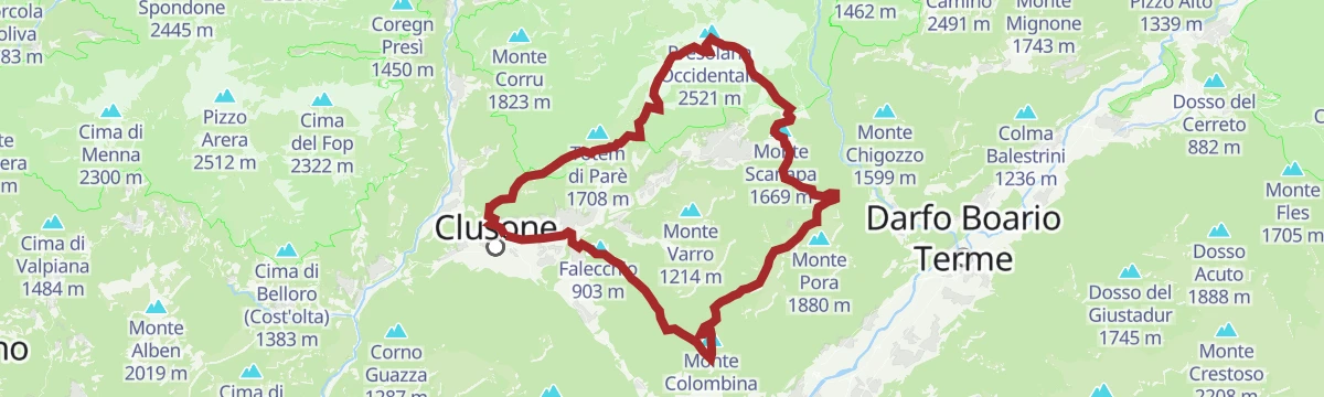
Presolana Tour
A long circuit around the Presolana massif from Castione, linking the pass, the Cassinelli basin and the ridges below Corna Cava.
- 24.3 km
- Distance
- 928 m
- Ascent
- 8 h
- Duration
- 239
- Check-ins
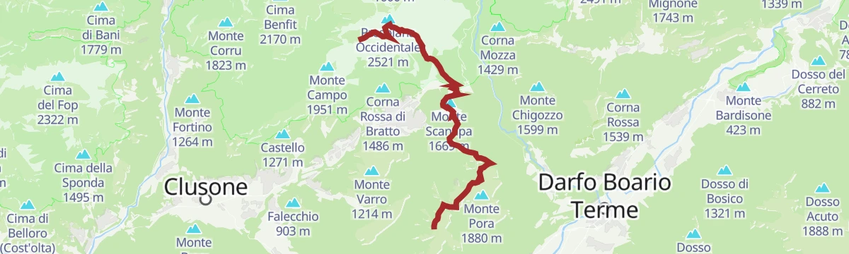
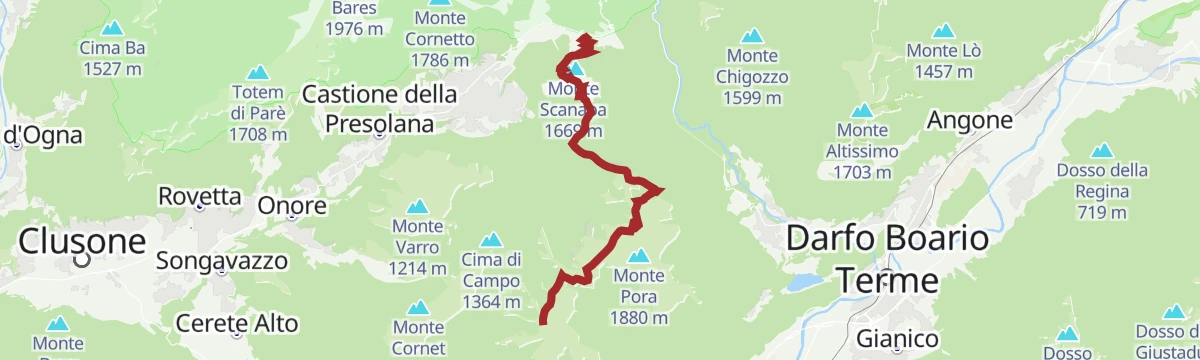
Dal Rifugio Magnolini al Passo della Presolana Il cuore delle Orobie tra creste panoramiche e leggende di montagna
The third leg of the Percorso Verde, running along open crests past Malga Scanapà and the Rifugio May, high above Castione.
- 12.2 km
- Distance
- 565 m
- Ascent
- 4 h 50 min
- Duration
- 117
- Check-ins
Al cospetto della Presolana
A climb from Castione della Presolana to the foot of the south wall, ending in the Cassinelli basin under the main summits.
- 11.2 km
- Distance
- 980 m
- Ascent
- 6 h 11 min
- Duration
- 204
- Check-ins
Dal Rifugio Olmo a Clusone Il ritorno tra natura, borghi e storia
The closing stage of the green route, descending from the Rino Olmo hut over Monte Polenta through pasture and woods to Clusone.
- 14.9 km
- Distance
- 359 m
- Ascent
- 5 h 48 min
- Duration
- 95
- Check-ins
Lungo la Via del latte
A long loop on CAI 317, the old milk road, from Castione della Presolana by way of Rusio up to the high dairy pastures.
- 21.1 km
- Distance
- 937 m
- Ascent
- 7 h 17 min
- Duration
- 194
- Check-ins
L'anello di Cima Carnet
A loop to Cima Carnet above Castione della Presolana, on pastures and wooded slopes facing the Presolana wall.
- 9.0 km
- Distance
- 826 m
- Ascent
- 5 h 11 min
- Duration
- 92
- Check-ins
La Presolana a fil di Cresta
The full Presolana ridge over Monte Visolo and the western and central summits, an exposed alpine traverse needing rope, crampons and axes.
- 12.5 km
- Distance
- 1 308 m
- Ascent
- 7 h 59 min
- Duration
- 184
- Check-ins
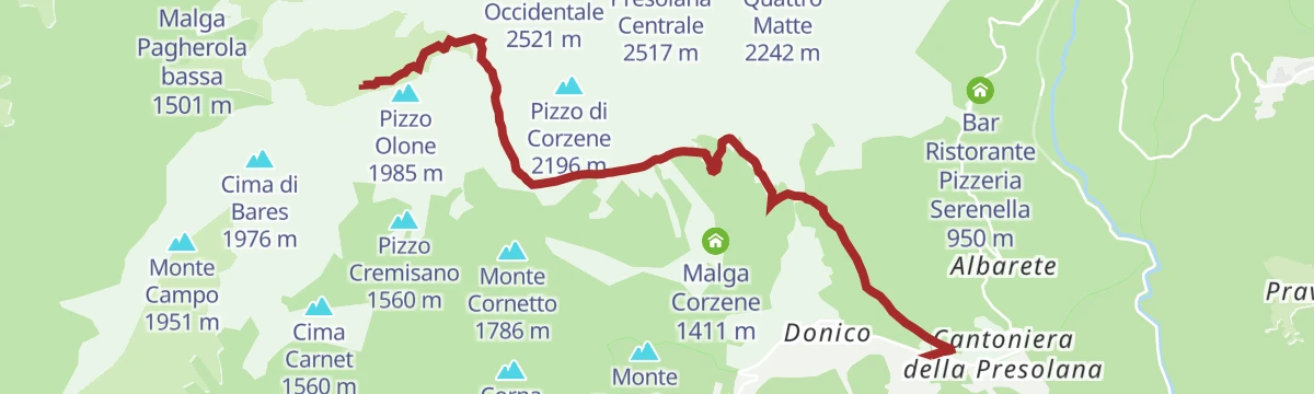
Presolana: il Sentiero della Porta
An approach from Colere by the forest road to Malga Polzone, then the cabled Porta path onto the Presolana ridge and Monte Visolo.
- 11.8 km
- Distance
- 1 621 m
- Ascent
- 9 h 1 min
- Duration
- 163
- Check-ins
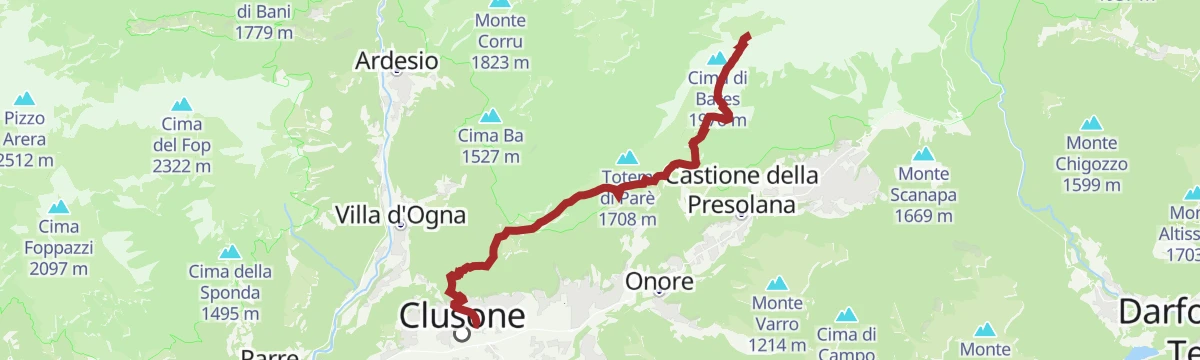
Out: tappa numero 1
The opening leg of the Orobie Ultra Trail, running from Clusone up to the Albani hut under the walls of the Presolana.
- 19.3 km
- Distance
- 2 229 m
- Ascent
- 10 h 58 min
- Duration
- 136
- Check-ins
Trekking sul Monte Visolo
A steep pull to Monte Visolo beside the Presolana, with the Val Seriana and the Pizzo Corzene in view from the top.
- 5.3 km
- Distance
- 1 059 m
- Ascent
- 3 h 57 min
- Duration
- 123
- Check-ins
Dal Rifugio Olmo a Clusone Il ritorno tra creste, boschi e borghi storici
The third stage of the red route, dropping from the Rino Olmo hut across pastures and over Monte Polenta to the old town of Clusone.
- 15.0 km
- Distance
- 347 m
- Ascent
- 5 h 45 min
- Duration
- 95
- Check-ins
Giro naturalistico intorno a Castione
A long round on the Presolana plateau above Castione, from the Val di Tede by Lantana and Romentaregh to Canechet.
- 28.1 km
- Distance
- 1 062 m
- Ascent
- 9 h 13 min
- Duration
- 49
- Check-ins
No routes of this kind in Castione della Presolana yet.
The region's own picks

Featured route
Trekking al Rifugio Medici sotto la Presolana
From the Presolana pass up to the Medici hut, under the south face of the Presolana.
Planning a trip to Castione della Presolana?
Everything else Lombardy has, in one place


Take Castione della Presolana with you into the mountains
Every route on this page with 3D terrain, GPX navigation and offline maps — including the valleys with no signal.
Data sources
- Official website: valseriana.eu ↗
- Routes and highlights: Val Seriana, in Lombardia, Trekkingpresolana, Visit Lake Iseo
- Published as open data by the tourist boards named above.
- Region summary generated from the board's own material.
