






Curated by Piemonte Outdoor
Castelmagno
Grana valley comune of scattered hamlets, known for its blue cheese and the high sanctuary of San Magno.
- 6Routes
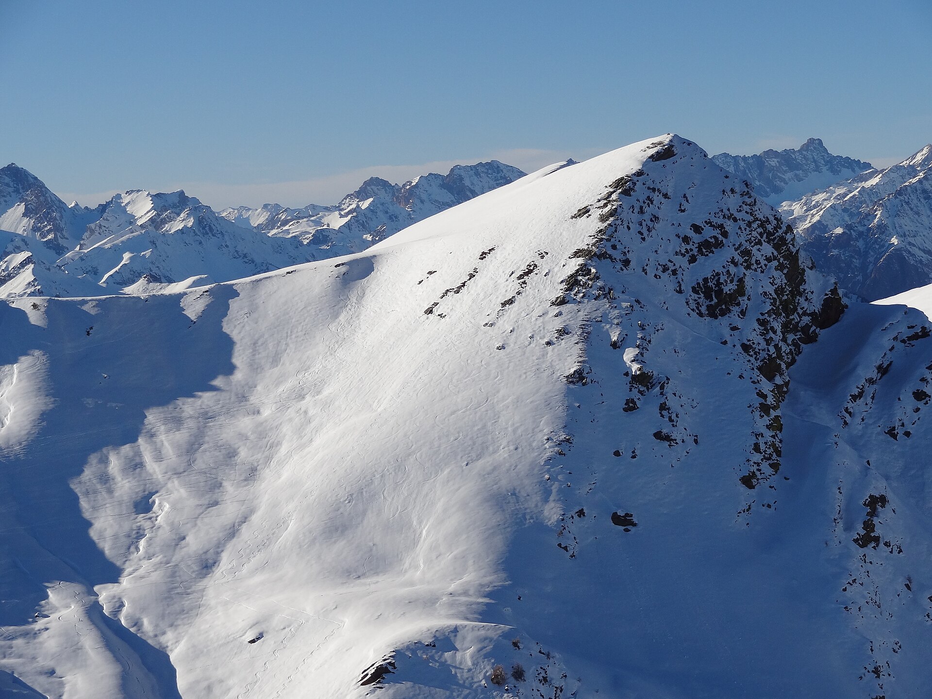
- Featured summit · Punta dell'Omo
Routes
14 from neighbouring places
Curnis Auta: Tappa 5 Santuario di San Magno
A high stage over the Punta dell'Omo and Monte Borel, ending at the San Magno sanctuary in the Grana valley.
- 14.2 km
- Distance
- 700 m
- Ascent
- 5 h 9 min
- Duration
- 29
- Check-ins
Curnis Auta: Tappa 3 Pradleves
A ridge stage above Castelmagno, over Monte Chialmo, Punta del Mezzogiorno and Monte Cauri and across the Colle della Margherita.
- 13.1 km
- Distance
- 1 190 m
- Ascent
- 7 h 27 min
- Duration
- 3
- Check-ins
Curnis Auta: Tappa 5A Santuario di San Magno
A stage of the Curnis Auta over Cima Viribianc and Monte Viridio, ending at the San Magno sanctuary above the Val Grana.
- 12.0 km
- Distance
- 710 m
- Ascent
- 4 h 56 min
- Duration
- 14
- Check-ins
Curnis Auta: Tappa 4 Rifugio La Valliera
A stage of the Curnis Auta crossing Rocca Cernauda and Monte Plum to the Valliera hut above Castelmagno.
- 14.5 km
- Distance
- 660 m
- Ascent
- 5 h 1 min
- Duration
- 13
- Check-ins
Curnis Auta: Tappa 5B Località Langra
A short steep link on the Curnis Auta, climbing to the Langra pastures above Castelmagno in the Val Grana.
- 1.9 km
- Distance
- 360 m
- Ascent
- 2 h 1 min
- Duration
Curnis Auta: Tappa 5C Grange Gustin
A short and steep Curnis Auta variant up to the Grange Gustin, herding huts on the slopes above Castelmagno.
- 2.0 km
- Distance
- 655 m
- Ascent
- 3 h 30 min
- Duration
Percorsi Occitani: Tappa 12 Borgata Arata
8.3 km away, in Marmora
A stage of the Occitan circuit ending at Arata, one of the scattered hamlets of Marmora in the Maira valley.
- 8.9 km
- Distance
- 1 701 m
- Ascent
- 9 h 31 min
- Duration
- 3
- Check-ins
Curnis Auta: Tappa 6A Frazione S. Lucia di Tetti Bosco
7.5 km away, in Monterosso Grana
A stage of the Curnis Auta above the Val Grana, starting from Santa Lucia and climbing to the high pastures.
- 6.1 km
- Distance
- 680 m
- Ascent
- 4 h 6 min
- Duration
- 2
- Check-ins
Percorsi Occitani: Tappa 14 Borgata Chiesa
8.5 km away, in Celle di Macra
A long stage of the Occitan circuit ending at the Chiesa hamlet of Celle di Macra.
- 18.4 km
- Distance
- 1 560 m
- Ascent
- 9 h 55 min
- Duration
- 2
- Check-ins
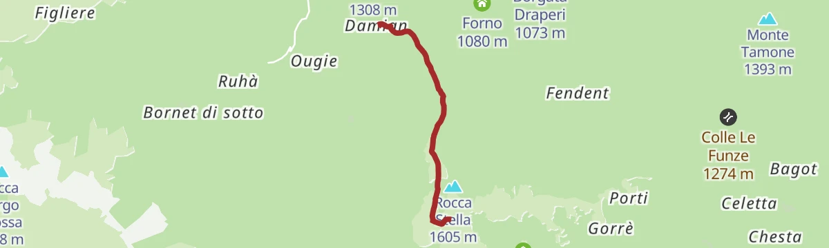
Curnis Auta: Tappa 6 Bivacco Rousset
7.6 km away, in Monterosso Grana
A stage over the Rittana alp to the Bivacco Rousset, on the ridge above the Grana valley.
- 10.4 km
- Distance
- 670 m
- Ascent
- 4 h 33 min
- Duration
- 14
- Check-ins
Percorsi Occitani: Tappa 3 Frazione Pagliero di San Damiano Macra
11.9 km away, in San Damiano Macra
A stage of the Occitan circuit over the Punta Rocca Rossa, ending at the hamlet of Pagliero above San Damiano Macra.
- 10.6 km
- Distance
- 1 257 m
- Ascent
- 7 h 30 min
- Duration
- 3
- Check-ins
Percorsi Occitani: Tappa 15 Cartignano
11.3 km away, in Cartignano
A stage of the Occitan long-distance walking route in the Valle Maira, climbing close to 700 m on the shaded side of the valley.
- 7.8 km
- Distance
- 694 m
- Ascent
- 4 h 22 min
- Duration
Percorsi Occitani: Tappa 13 Borgata Palent
9.8 km away, in Macra
A stage of the Occitan circuit ending at Palent, a stone hamlet above Macra in the Maira valley.
- 9.1 km
- Distance
- 1 479 m
- Ascent
- 8 h 26 min
- Duration
- 2
- Check-ins
Curnis Auta: Tappa 6B Frazione Damiani
12.5 km away, in Rittana
A short, steep stage climbing to the hamlet of Damiani above Monterosso Grana, in the Valle Grana of Piemonte.
- 3.2 km
- Distance
- 470 m
- Ascent
- 2 h 43 min
- Duration
Percorsi Occitani: Tappa 4 Frazione Camoglieres
10.8 km away, in Macra
Stage four of the Percorsi Occitani, based on the hamlet of Camoglieres in the Maira valley at Macra.
- 16.6 km
- Distance
- 1 380 m
- Ascent
- 8 h 49 min
- Duration
- 2
- Check-ins
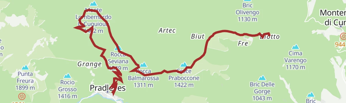
Curnis Auta: Tappa 2 Rifugio La Scola
13.2 km away, in Montemale di Cuneo
A rolling stage on the hills above Montemale di Cuneo, over Bric La Caia and Rocca Seviana and across a string of low saddles.
- 14.6 km
- Distance
- 560 m
- Ascent
- 4 h 49 min
- Duration
- 3
- Check-ins
Percorsi Occitani: Tappa 5 San Martino Inferiore
12.6 km away, in Stroppo
A stage of the Occitan circuit ending at San Martino Inferiore, one of the hillside hamlets of Stroppo.
- 6.8 km
- Distance
- 1 875 m
- Ascent
- 10 h 8 min
- Duration
- 21
- Check-ins
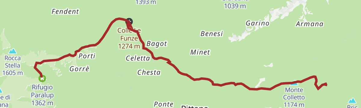
Curnis Auta: Tappa 7 Rifugio Paraloup
13.4 km away, in Rittana
A stage over Monte Colletto above Rittana, crossing Colle di Rosa and Colle Le Funze on the way to the partisan refuge.
- 11.7 km
- Distance
- 410 m
- Ascent
- 3 h 45 min
- Duration
- 14
- Check-ins
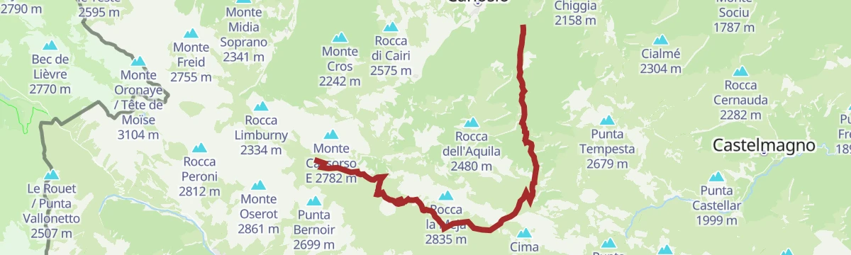
Percorsi Occitani: Tappa 11 Rifugio della Gardetta
13.9 km away, in Canosio
A long stage of the Occitan circuit in the Maira valley, ending at the Rifugio della Gardetta below the Rocca La Meja.
- 19.9 km
- Distance
- 2 529 m
- Ascent
- 14 h 56 min
- Duration
- 64
- Check-ins
Percorsi Occitani: Tappa 7 San Michele di Prazzo
14.1 km away, in Prazzo
A steep stage of the Percorsi Occitani in the Val Maira, ending at San Michele di Prazzo.
- 7.0 km
- Distance
- 1 800 m
- Ascent
- 9 h 47 min
- Duration
No routes of this kind in Castelmagno yet.
The region's own picks

Featured route
Curnis Auta: Tappa 5 Santuario di San Magno
A high stage over the Punta dell'Omo and Monte Borel, ending at the San Magno sanctuary in the Grana valley.
Planning a trip to Castelmagno?
Everything else Piedmont has, in one place


Take Castelmagno with you into the mountains
Every route on this page with 3D terrain, GPX navigation and offline maps — including the valleys with no signal.
Data sources
- Official website: visitcuneese.it ↗
- Routes and highlights: Piemonte Outdoor
- Published as open data by the tourist boards named above.
- Region summary generated from the board's own material.
