
Curated by APT Valsugana e Lagorai
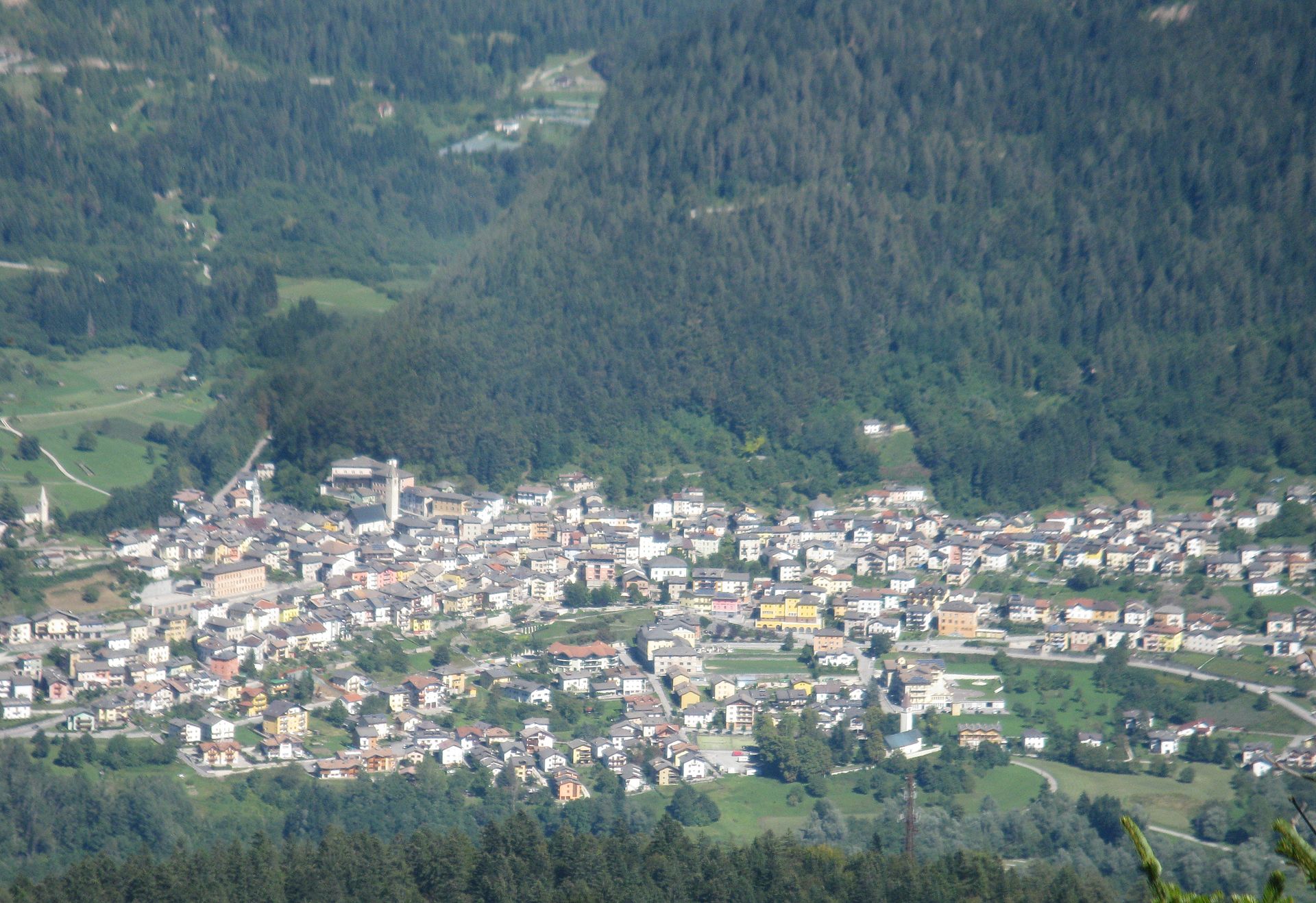
Castello Tesino
Tesino plateau village, home of the Pizzo and Frizzon peaks and a museum of its emigrant print-sellers.
Photo: EndlessPalca · CC BY 3.0 licence
- 10Highlights
- 47Routes
- Featured summit · Grünbergspitze
Highlights
All 10 from neighbouring places
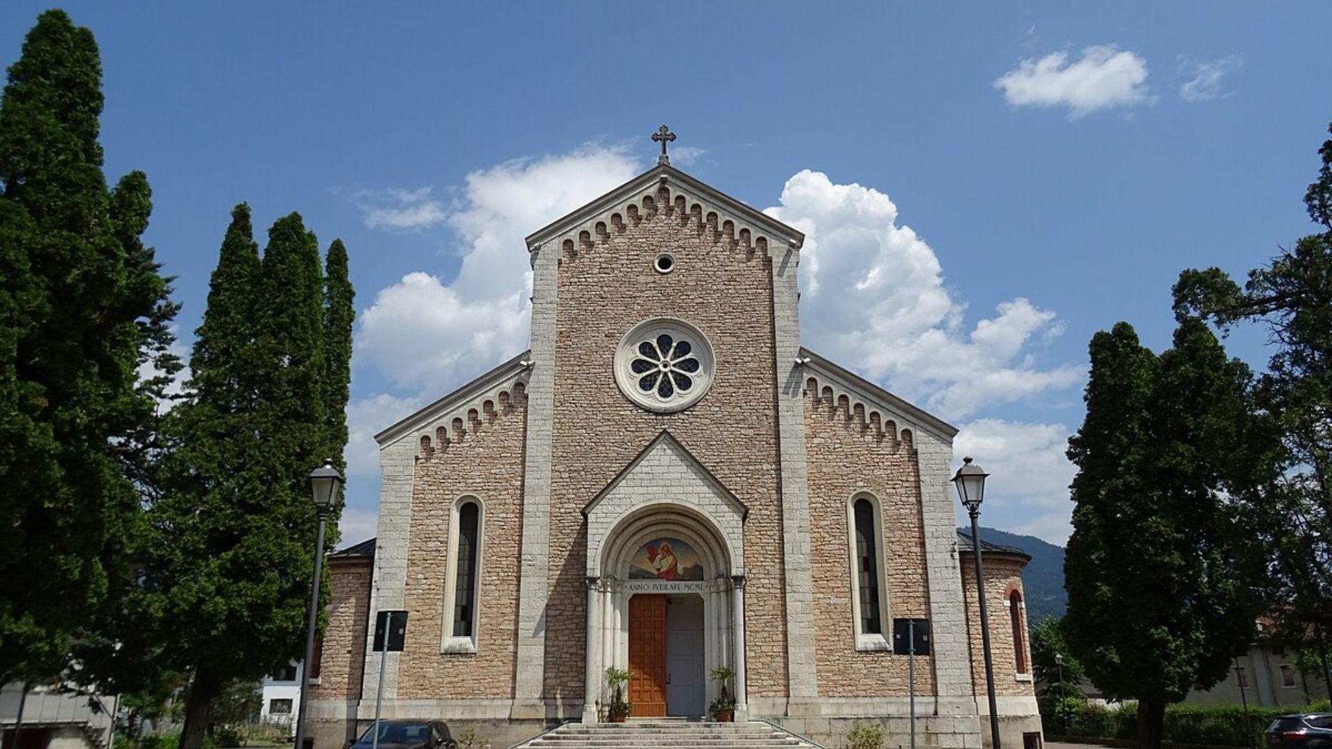
Chiesa del Sacro Cuore di Gesù
9.1 km away, in Lamon
A church at Lamon, on the plateau between the Cismon and the Senaiga in the western Feltrino.
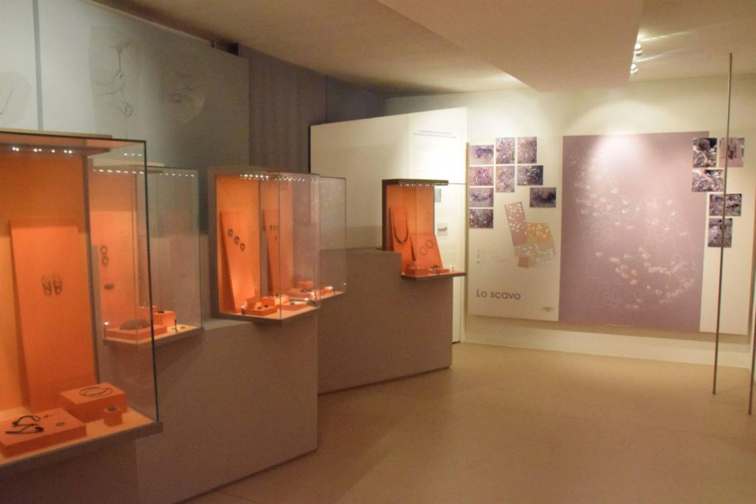
Museo Civico Archeologico
9.7 km away, in Lamon
The civic archaeological museum of Lamon, holding finds from the plateau between the Cismon and the Senaiga.
Chiesa di San Daniele
9.8 km away, in Lamon
A church in the Lamon area, on the high ground west of Feltre near the Trentino border.
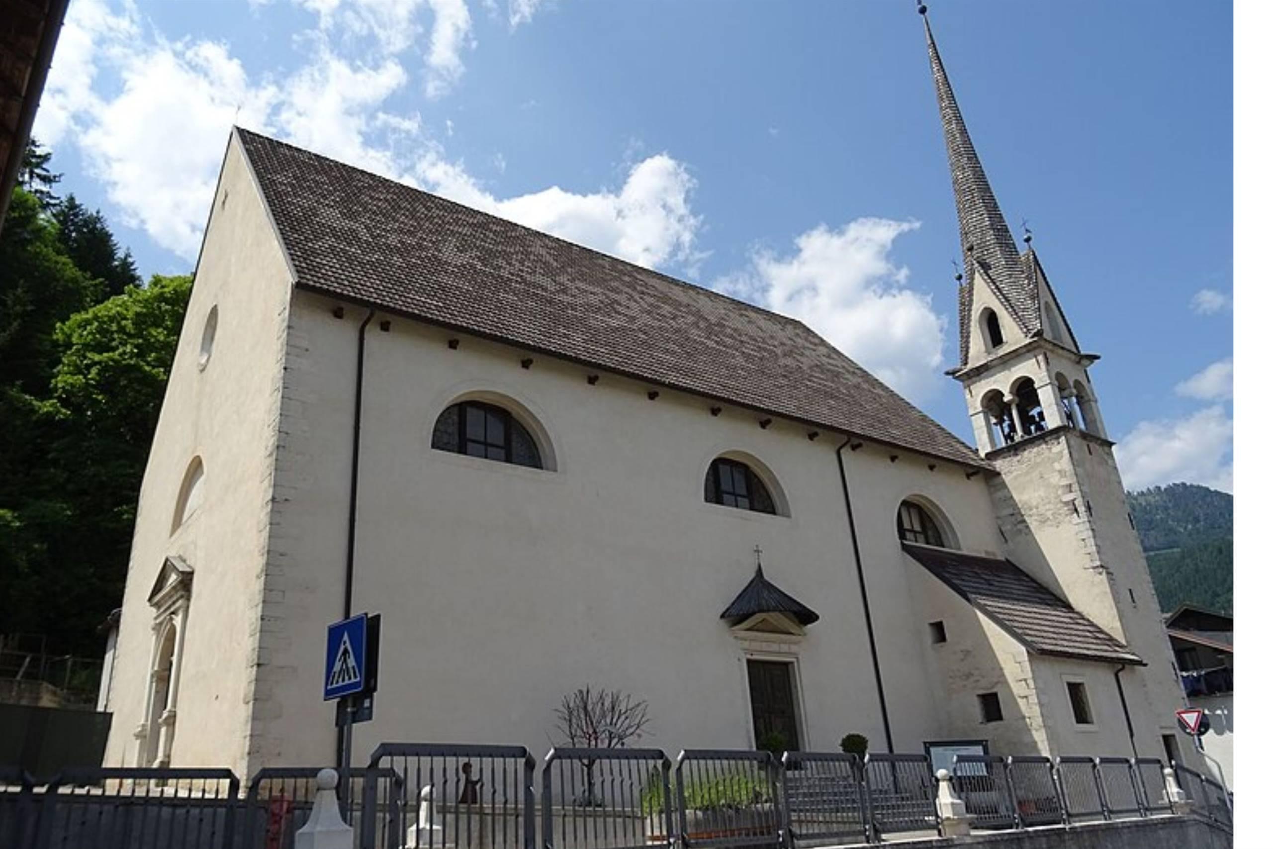
Chiesa di San Pietro Apostolo
9.9 km away, in Lamon
The parish church of Lamon, standing on the plateau above the Senaiga valley.
Passerella sul Lago Senaiga
10.4 km away, in Lamon
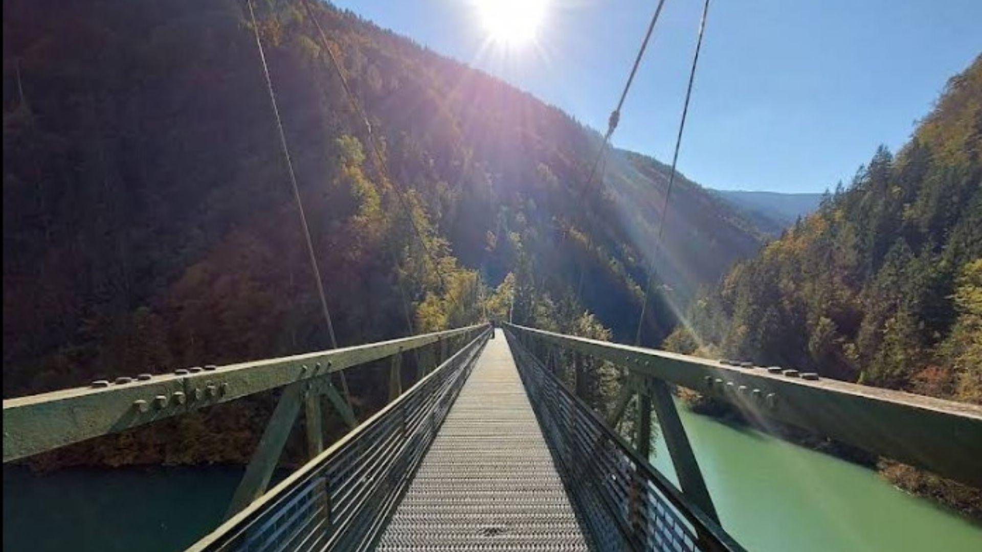
A footbridge crossing the reservoir of Lago Senaiga, in the wooded valley below the plateau of Lamon.
Rifugio La Casermetta
12.9 km away, in Arsiè
A hut on the wooded ridges above Arsiè, between the Lago del Corlo and the Grappa massif.
Chiesa di Santa Maria Assunta
11 km away, in Sovramonte
A church of Santa Maria Assunta in Sovramonte, on the slopes below the Vette Feltrine in the Dolomiti Bellunesi national park.
Malga Monsampian
11.4 km away, in Sovramonte
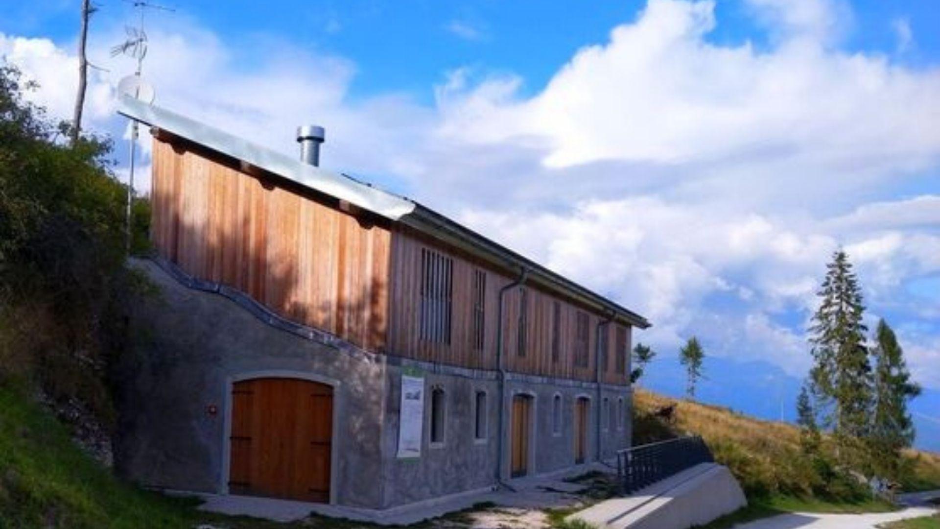
An alpine pasture hut above Sovramonte, on the grassland below the Vette Feltrine in the Dolomiti Bellunesi national park.
Malga Vette Grandi
13.6 km away, in Sovramonte
A malga on the high pastures of the Vette Feltrine above Sovramonte, inside the Dolomiti Bellunesi national park.
Chiesa di S. Pietro Apostolo
13.7 km away, in Sovramonte
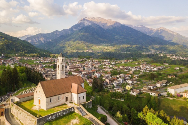
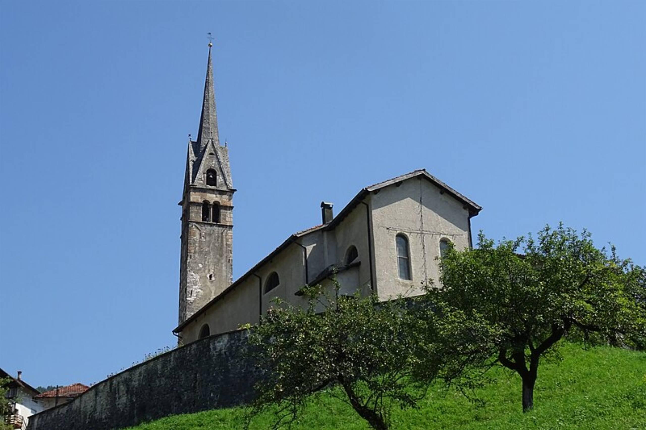
A church dedicated to Peter the Apostle in Sovramonte, the valley of scattered villages above the Cismon, north-west of Feltre.
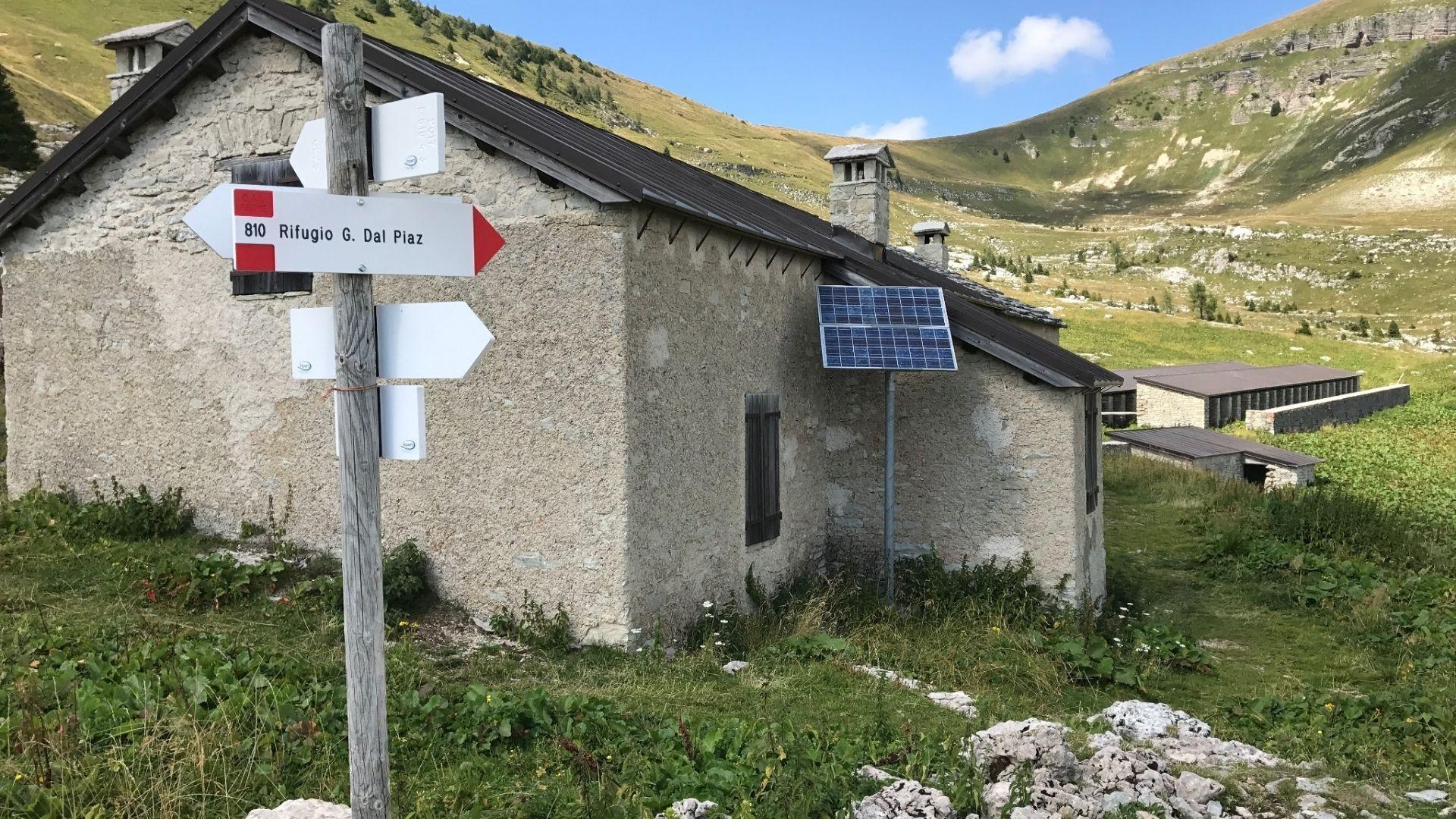
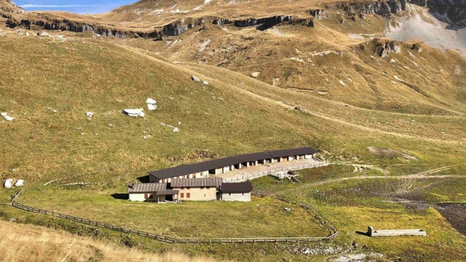
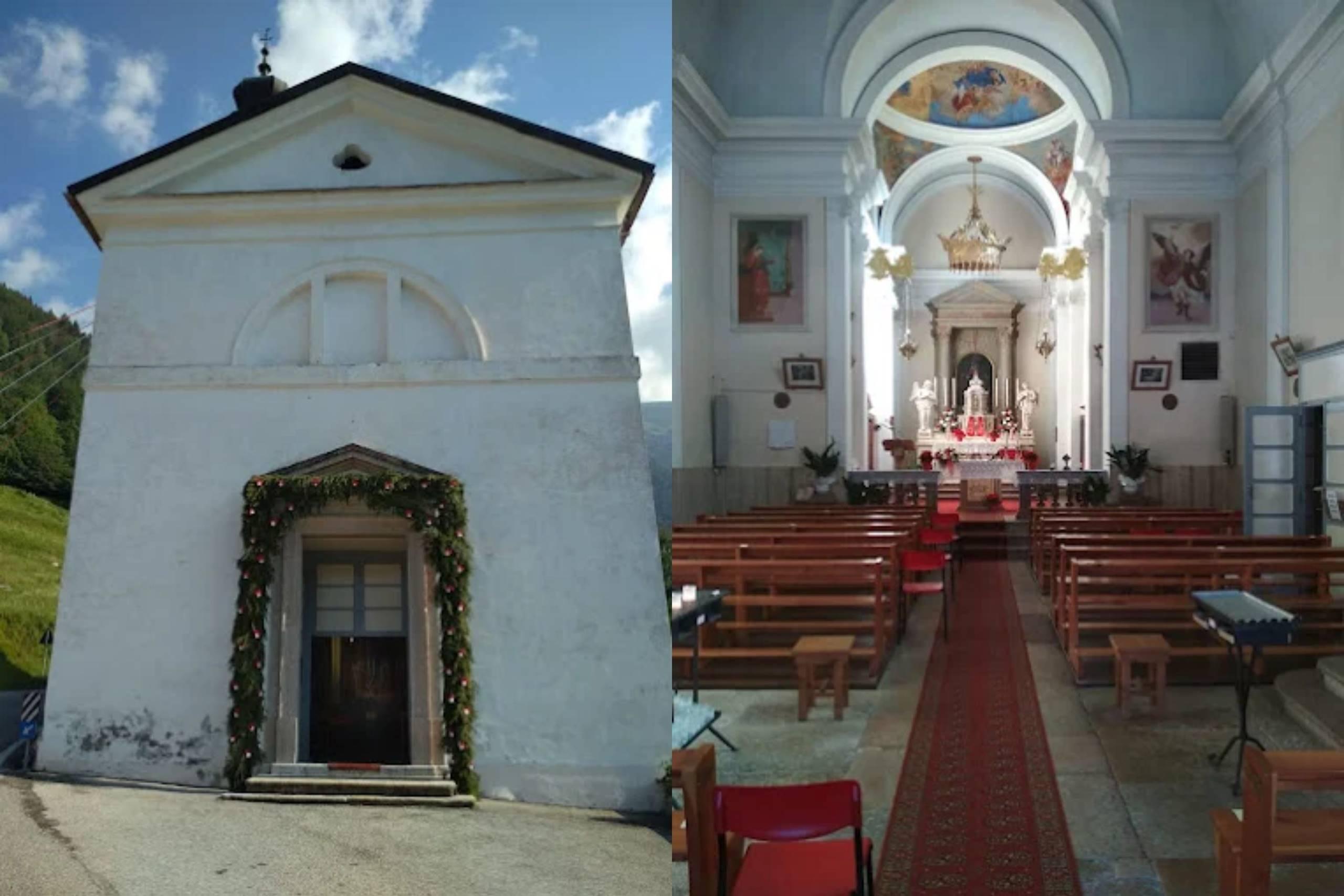
Nothing of this kind in Castello Tesino.
Routes
Walk - Walk on the Celado plateau
A quiet walk over the Celado plateau above Castello Tesino, crossing the pastures of Monte Pasolin and Col di Volta.
- 5.8 km
- Distance
- 162 m
- Ascent
- 1 h 45 min
- Duration
- 14
- Check-ins
 Monte Pasolin 1 275 m
- Col di Volta 1 161 m
- Col dei Baili 1 232 m
 Ristorante Al Cacciatore 1 221 m
- Ristorante ai Larici 1 167 m
- Alice 1 178 m
- +1
Open route APT Valsugana e LagoraiHiking trail - Tour of Zimon
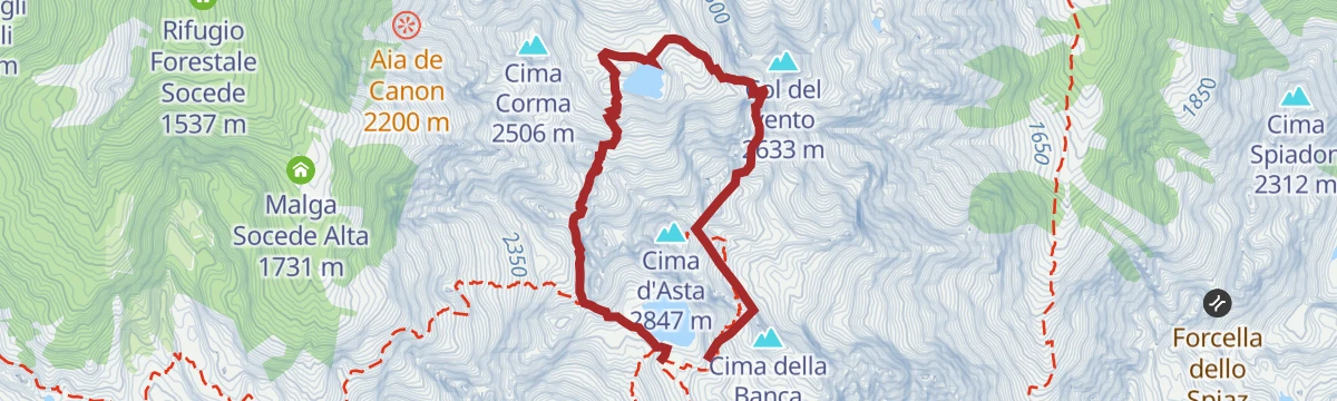
A demanding round over passes and through valleys under Cima Diavoli, on the granite ridges above Pieve Tesino.
- 6.6 km
- Distance
- 718 m
- Ascent
- 4 h 17 min
- Duration
- 77
- Check-ins
- Cima Diavoli 2 806 m
- Rifugio Cima d'Asta Ottone Brentari 2 476 m
 La Forzeleta 2 680 m
- Passo Socede 2 518 m
- Forcella Col del vento 2 495 m
- Forcella de meso 2 534 m
- +2
Open route APT Valsugana e LagoraiAlpine tour - Alta Via del Granito
A three-day high route on old paths and wartime mule tracks in the Lagorai, with two huts to sleep in, shepherds' cabins and summer pasture along the way.
- 28.7 km
- Distance
- 2 405 m
- Ascent
- 15 h 20 min
- Duration
- 271
- Check-ins
- Cima Lasteati 2 408 m
- Rifugio Malga Sorgazza 1 450 m
- Rifugio Cima d'Asta Ottone Brentari 2 476 m
 Bacino di Sorgazza 1 433 m
- Bivacco Caldenave 1 800 m
- Malga Sorgazza 1 453 m
- +11
Open route APT Valsugana e LagoraiBack-country skiing - Chalet Paradiso
A ski-touring approach towards Monte Agaro following the forest road past Casa Saronnese, above the Tesino plateau.
- 8.0 km
- Distance
- 266 m
- Ascent
- 266 m
- Descent
- 2 h 17 min
- Duration
- 5
- Check-ins
Open route APT Valsugana e LagoraiMTB - Tesino Bike - Celado 2301
A shorter circuit over Monte Pasolin, Col dei Baili and Col Cantiero on the wooded upland above Castello Tesino.
- 11.9 km
- Distance
- 511 m
- Ascent
- 1 h 33 min
- Duration
- 13
- Check-ins
- Monte Pasolin 1 275 m
- Col dei Baili 1 232 m
- Col Cantiero 1 078 m
- Ristorante Al Cacciatore 1 221 m
- Ristorante ai Larici 1 167 m
- Alice 1 178 m
Open route APT Valsugana e LagoraiMTB - Tesino Bike - Fierollo 2307
A forest-road circuit through Val Malene above Pieve Tesino, dropping to Pradellano and closing over the Passo della Forcella on the Via Claudia.
- 27.6 km
- Distance
- 869 m
- Ascent
- 3 h 16 min
- Duration
- 13
- Check-ins
- Cascata del Chieppena 872 m
- Passo della Forcella 910 m
- Bacino di Pradellano 872 m
- Maso Tranquillo 885 m
- Betty's Hill 879 m
- Maso dei Caffi 911 m
- +2
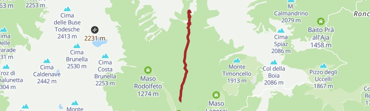
Open route APT Valsugana e LagoraiPieve Tesino - Val Malene - Passo Brocon
A steady road climb of 800 m from the Tesino plateau to the pass at 1,616 m, passing Villaggio Degasperi and Maso Lagorai on the way up.
- 14.5 km
- Distance
- 792 m
- Ascent
- 1 h 45 min
- Duration
- 11
- Check-ins
- Passo Brocon 1 616 m
- Hotel Pizzo degli Uccelli 1 620 m
- Albergo Passo Brocon 1 617 m
- Casa Anselmi 1 604 m
- Villaggio Degasperi 1 071 m
- Maso Lagorai 1 492 m
- +1
Open route APT Valsugana e LagoraiRoadbike - Grigno - Passo Brocon
A road climb out of the Grigno valley over Castello Tesino, finishing on the hairpins that lead up to Passo Brocon at 1,616 m.
- 27.9 km
- Distance
- 1 819 m
- Ascent
- 3 h 43 min
- Duration
- 11
- Check-ins
- Passo Brocon 1 616 m
- Hotel Pizzo degli Uccelli 1 620 m
- Al Tastavin 882 m
- Albergo Passo Brocon 1 617 m
- Chalet Heidi 1 615 m
Open route APT Valsugana e LagoraiNordic Walking - Celado Tour
An out-and-back walk on dirt road across the meadows of the Celado plateau, from the Ai Larici inn to Al Cacciatore.
- 2.5 km
- Distance
- 103 m
- Ascent
- 47 min
- Duration
- 13
- Check-ins
- Monte Pasolin 1 275 m
- Col dei Baili 1 232 m
- Ristorante Al Cacciatore 1 221 m
- Ristorante ai Larici 1 167 m
- Alice 1 178 m
Open route APT Valsugana e LagoraiSentiero della Pace 30: from Rifugio Brentari to Caoria
Stage 30 of the Peace Path, from the Brentari hut on trail 386 to Forcella del Passetto, then the Negrelli trail 387 over the Cresta pass and down towards Caoria.
- 12.1 km
- Distance
- 62 m
- Ascent
- 4 h 46 min
- Duration
- 50
- Check-ins
- Rifugio Cima d'Asta Ottone Brentari 2 476 m
- Forcella del Passetto 2 490 m
- Forcella di Val Regana 2 047 m
Open route APT Valsugana e LagoraiTrekking
A ring traverse of the granite island formed by the Cima d'Asta and the Cime di Rava, an outlier within the Lagorai chain.
- 28.7 km
- Distance
- 2 402 m
- Ascent
- 15 h 19 min
- Duration
- 271
- Check-ins
MTB - Tesino Bike - Brocon Malene 2306
A long downhill run off the pass into the Val Malene, following forest roads beside the Grigno stream to the bike grill at Castello Tesino.
- 14.6 km
- Distance
- 35 m
- Ascent
- 1 h 37 min
- Duration
- 11
- Check-ins
- Passo Brocon 1 616 m
- Hotel Pizzo degli Uccelli 1 620 m
- Albergo Passo Brocon 1 617 m
- Casa Anselmi 1 604 m
- Villaggio Degasperi 1 071 m
- Maso Lagorai 1 492 m
- +1
Open route APT Valsugana e LagoraiMTB - Monte Agaro Tour 253
A marked long-distance route across four Tesino municipalities, climbing to Passo Brocon and passing old masi such as Maso Lagorai.
- 35.6 km
- Distance
- 1 097 m
- Ascent
- 4 h 12 min
- Duration
- 11
- Check-ins
- Passo Brocon 1 616 m
- Hotel Pizzo degli Uccelli 1 620 m
- Albergo Passo Brocon 1 617 m
- Casa Anselmi 1 604 m
- Villaggio Degasperi 1 071 m
- Maso Lagorai 1 492 m
- +3
Open route APT Valsugana e LagoraiPath Grifone Vaia del Tesino
A climb straight out of Castello Tesino on the Ronche path, crossing the Celado road and finishing through wood and meadow by the Larici bar.
- 3.4 km
- Distance
- 345 m
- Ascent
- 1 h 29 min
- Duration
- 8
- Check-ins
Open route APT Valsugana e LagoraiHiking trail - The "Trodo dei fiori"
A botanical path circling the Passo Brocon with remains of the First World War still visible, best walked in July when the meadow flowers are out.
- 6.0 km
- Distance
- 425 m
- Ascent
- 2 h 48 min
- Duration
- 13
- Check-ins
- Col della Boia 2 086 m
- Passo Brocon 1 616 m
- Hotel Pizzo degli Uccelli 1 620 m
- Albergo Passo Brocon 1 617 m
Open route APT Valsugana e LagoraiHiking trail - Monte Cengello
A long day from Val Campelle to Monte Cengello, the rock summit standing over the Passo Cinque Croci in the Lagorai.
- 19.1 km
- Distance
- 1 268 m
- Ascent
- 8 h 34 min
- Duration
- 190
- Check-ins
- Grünbergspitze 1 976 m
- Cima Lasteati 2 408 m
- Rifugio Malga Consèria 1 848 m
- Bivacco Rifugio Consèria 1 824 m
- Passo Cinque Croci 2 023 m
- Bivacco Caldenave 1 800 m
- +6
Open route APT Valsugana e LagoraiMTB - Tesino Bike - Brocon Cascatella 2303
A shuttle-assisted descent from Passo Brocon on forest road, passing the Tesino cave before rolling out at Castello Tesino.
- 15.2 km
- Distance
- 423 m
- Ascent
- 2 h 2 min
- Duration
- 10
- Check-ins
- Passo Brocon 1 616 m
- Hotel Pizzo degli Uccelli 1 620 m
- Albergo Passo Brocon 1 617 m
- La casa ai confini 1 151 m
Open route APT Valsugana e LagoraiTorrente Vanoi E2
A short, flat walk beside the Vanoi torrent on the valley floor below Pieve Tesino.
- 1.7 km
- Distance
- 11 m
- Ascent
- 30 min
- Duration
- 8
- Check-ins
Open route Trentino FishingBack- country skiing in Tolvà valley
A winter route on snow up the Tolvà valley above Pieve Tesino, ending at the Malga Tolvà pasture.
- 7.4 km
- Distance
- 419 m
- Ascent
- 2 h 57 min
- Duration
- 10
- Check-ins
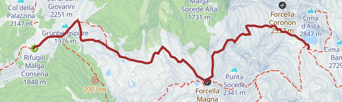
Open route APT Valsugana e LagoraiSentiero della Pace: Variante Lagorai 4 (Rifugio Malga Conseria to Rifugio Brentari)
A stage of the peace trail from Malga Conseria over the Passo Cinque Croci to the Rifugio Brentari, with a steep detour to the trench lines on Cima Socede.
- 8.0 km
- Distance
- 974 m
- Ascent
- 4 h 36 min
- Duration
- 169
- Check-ins
- Grünbergspitze 1 976 m
- Rifugio Cima d'Asta Ottone Brentari 2 476 m
- Rifugio Malga Consèria 1 848 m
- Bivacco Rifugio Consèria 1 824 m
- Passo Cinque Croci 2 023 m
- Malga Conseria 1 821 m
- +2
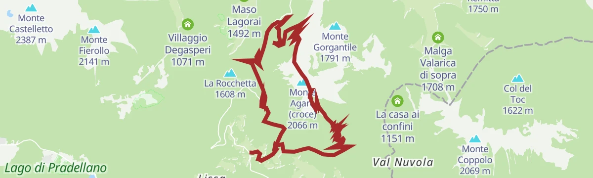
Open route APT Valsugana e LagoraiMTB - Tesino Bike - Agaro 2305
A forest-road climb to the top of Monte Agaro, where First World War trenches remain, then a tight switchback singletrack back down.
- 20.0 km
- Distance
- 1 052 m
- Ascent
- 2 h 53 min
- Duration
- 9
- Check-ins
Open route APT Valsugana e LagoraiLago degli Asini T
A few minutes' walk to the Lago degli Asini, a small pool on the Tesino plateau above Castello Tesino.
- 230 m
- Distance
- 0 m
- Ascent
- 3 min
- Duration
- 2
- Check-ins
- Laghetto degli Asini 1 931 m
Open route Trentino FishingRio Tolvà B1
A climb beside the Rio Tolvà above Pieve Tesino, on the way up towards the Tolvà pastures.
- 5.1 km
- Distance
- 439 m
- Ascent
- 2 h 55 min
- Duration
- 9
- Check-ins
Open route Trentino FishingLakes of Reganel
A climb from Ponte Belfe east of Caoria on path 383, following the Rio Reganel through forest and grass under Cima Spiadon to the Reganel lakes.
- 17.6 km
- Distance
- 1 583 m
- Ascent
- 9 h 57 min
- Duration
- 7
- Check-ins
- Col della Croce 2 439 m
- Lago Reganel di sotto 1 879 m
- Forcella Conte Moro 2 257 m
- Lago Reganel Alto 2 100 m
- Forcella di Val Regana 2 047 m
Open route APT San Martino di Castrozza, Primiero e VanoiMTB - Tesino Bike - Tesino Villages 2310
A mixed-surface ride linking the three villages of the Tesino plateau over Passo della Forcella and past the Grigno reservoir.
- 21.6 km
- Distance
- 564 m
- Ascent
- 2 h 27 min
- Duration
- 6
- Check-ins
- Passo della Forcella 910 m
- Bacino artificiale Grigno 773 m
- Pro Loco di Pieve Tesino 839 m
- Visitor center 823 m
Open route APT Valsugana e LagoraiLago di Conte Moro S
A short approach to the Lago di Conte Moro, a small lake in the woods of the Tesino plateau.
- 1.1 km
- Distance
- 88 m
- Ascent
- 30 min
- Duration
- 1
- Check-ins
- Laghetti di Lastè 2 019 m
- Laghetto dell'Aia Tonda 1 941 m
- Laghetti di Lastè 1 994 m
Open route Trentino Fishingtrekking lago dei aseni
A climb from above the Val Malene campsite up the Tolvà valley, then a stepped mule track of logs and stone in hairpins to the Aseni lake at 1,930 m.
- 11.9 km
- Distance
- 797 m
- Ascent
- 5 h 22 min
- Duration
- 8
- Check-ins
- Baita del pastore 1 549 m
- Laghetto degli Asini 1 931 m
Open route APT Valsugana e LagoraiTorrente Regana I
A steep climb beside the Regana torrent above Canal San Bovo, gaining the Lagorai slopes on the Vanoi side.
- 5.1 km
- Distance
- 979 m
- Ascent
- 3 h 39 min
- Duration
Open route Trentino FishingMTB - Tesino Bike - Tour Picosta 2302
A steep, technical climb out of Castello Tesino to the Larici restaurant at Celado, returning over Col delle Bagole and Passo della Baia.
- 15.2 km
- Distance
- 666 m
- Ascent
- 1 h 59 min
- Duration
- 4
- Check-ins
Open route APT Valsugana e LagoraiNordic Walking - Le Parti Tour
A flat practice loop in the sports area at Castello Tesino, starting at the Canterbury pub, on dirt and asphalt with the village in view.
- 1.1 km
- Distance
- 0 m
- Ascent
- 16 min
- Duration
Open route APT Valsugana e LagoraiRio Tolvà B5
A short, steep route up the Tolvà stream on the slopes of the Tesino plateau above Castello Tesino.
- 2.7 km
- Distance
- 426 m
- Ascent
- 1 h 38 min
- Duration
- 6
- Check-ins
Open route Trentino FishingTorrente Viosa L
A demanding climb along the Viosa torrent, out of the Vanoi valley and into the Lagorai above Canal San Bovo.
- 6.1 km
- Distance
- 1 189 m
- Ascent
- 4 h 25 min
- Duration
Open route Trentino FishingMTB - Tesino Bike - Senaiga 2304
A climb-heavy mountain-bike circuit in the hills above Castello Tesino, taking in the hut La casa ai confini at 1,150 m.
- 20.8 km
- Distance
- 1 169 m
- Ascent
- 3 h 8 min
- Duration
Open route APT Valsugana e LagoraiRio Acopan C2
A flat streamside route along the Rio Acopan on the Tesino plateau, following the water along the valley floor.
- 2.3 km
- Distance
- 0 m
- Ascent
- 1 h 31 min
- Duration
- Laghetto della Cascatella 845 m
Open route Trentino FishingTorrente Grigno A2
A walk beside the Grigno torrent on the valley floor below Pieve Tesino.
- 9.1 km
- Distance
- 259 m
- Ascent
- 3 h 23 min
- Duration
Open route Trentino FishingRio Regana E
A level walk beside the Rio Regana, following the stream through woodland below Castello Tesino.
- 4.9 km
- Distance
- 0 m
- Ascent
- 2 h 13 min
- Duration
Open route Trentino FishingTorrente Senaiga C1
A long, mostly level route following the Senaiga stream through the woods below the Passo Brocon.
- 9.8 km
- Distance
- 206 m
- Ascent
- 4 h 6 min
- Duration
Open route Trentino FishingRio Viosa G
A flat riverside stretch along the Rio Viosa in the Tesino, easy going with almost no climbing.
- 4.0 km
- Distance
- 0 m
- Ascent
- 1 h 50 min
- Duration
Open route Trentino FishingWalk - The Fradea footpath
A shaded round through spruce woods on the Fradea slope, part track and part surfaced, opening onto the pastures of the Tesino.
- 7.3 km
- Distance
- 386 m
- Ascent
- 2 h 47 min
- Duration
Open route APT Valsugana e LagoraiTheme trail - Footpath i mille volti del bosco
A forest education loop from the Marande lift station near the Passo Brocon, dropping to the Senaiga stream and climbing back.
- 3.7 km
- Distance
- 193 m
- Ascent
- 1 h 23 min
- Duration
Open route APT Valsugana e LagoraiTorrente Senaiga C2
A short level section along the Senaiga torrent, on the wooded floor of the valley below the Passo Brocon.
- 2.3 km
- Distance
- 0 m
- Ascent
- 1 h 19 min
- Duration
Open route Trentino FishingWalk - Footpath of Madonna di Colle
A short loop from Castello Tesino up through the Terrasanta quarter to the Madonna di Caravaggio chapel at Colle, looking over the Tesino plateau.
- 2.8 km
- Distance
- 134 m
- Ascent
- 60 min
- Duration
Open route APT Valsugana e LagoraiWalk - Footpath of Passugola
A walk out of Castello Tesino into the Passugola hollow, where terraces and ruins still mark ground that people once farmed and lived on.
- 6.0 km
- Distance
- 222 m
- Ascent
- 1 h 58 min
- Duration
Open route APT Valsugana e LagoraiWalk - Masi Caretta
A gentle round at about 1,200 m on dirt roads and paths through meadow, wood and scattered farmsteads, easy enough with children along.
- 2.8 km
- Distance
- 75 m
- Ascent
- 51 min
- Duration
Open route APT Valsugana e LagoraiWalk - Ronche - Tesino Castle
A short circuit from the middle of Castello Tesino by way of the Terrasanta quarter and the Colle chapel, with the whole Tesino plateau in view.
- 4.1 km
- Distance
- 246 m
- Ascent
- 1 h 42 min
- Duration
Open route APT Valsugana e LagoraiWalk to the Capitel della Fratta
A steep signed climb to the Capitel della Fratta, passing an old water mill kept in working order, with the Vanoi valley and the Dolomites in sight.
- 1.5 km
- Distance
- 337 m
- Ascent
- 1 h 14 min
- Duration
Open route APT San Martino di Castrozza, Primiero e VanoiWalk- the historical city centre of Castello Tesino
A level route round the old streets of Castello Tesino, part of the Valsugana treasure-hunt series, with a printed sheet of games and clues to the village.
- 3.9 km
- Distance
- 84 m
- Ascent
- 1 h 7 min
- Duration
Open route APT Valsugana e Lagorai








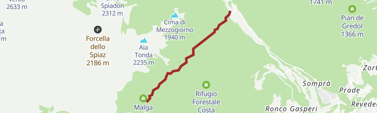


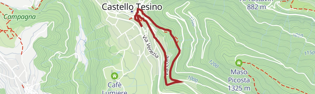


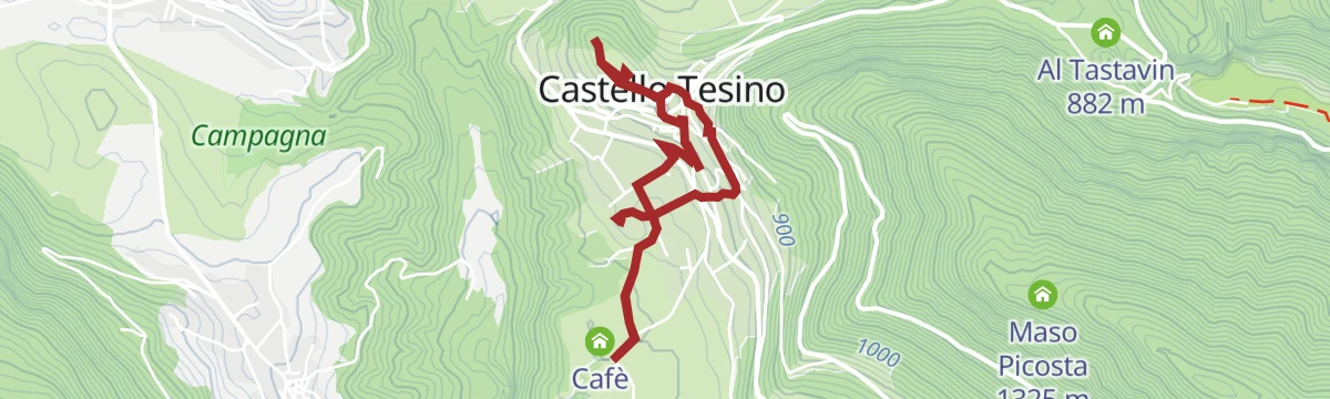
No routes of this kind in Castello Tesino yet.
The region's own picks

Featured route
Walk - Walk on the Celado plateau
A quiet walk over the Celado plateau above Castello Tesino, crossing the pastures of Monte Pasolin and Col di Volta.
Planning a trip to Castello Tesino?
Everything else Trentino-Alto Adige/Südtirol has, in one place


Take Castello Tesino with you into the mountains
Every route on this page with 3D terrain, GPX navigation and offline maps — including the valleys with no signal.
Data sources
- Official website: visitvalsugana.it ↗
- Routes and highlights: APT Valsugana e Lagorai, Trentino Fishing, Dolomitiprealpi, APT San Martino di Castrozza, Primiero e Vanoi, Valsugana
- Published as open data by the tourist boards named above.
- Region summary generated from the board's own material.
