






Curated by Sondrio e Valmalenco
Caspoggio
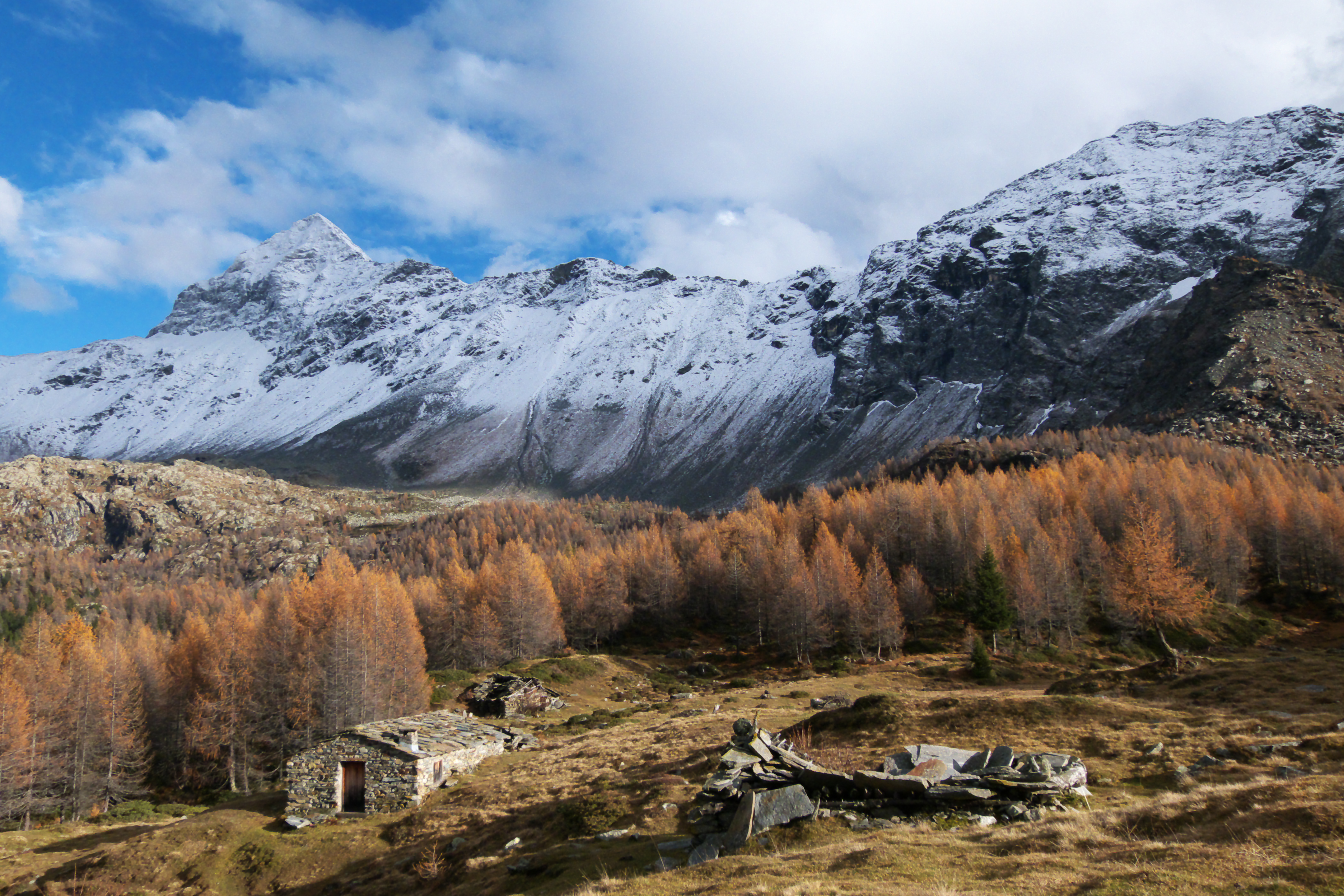
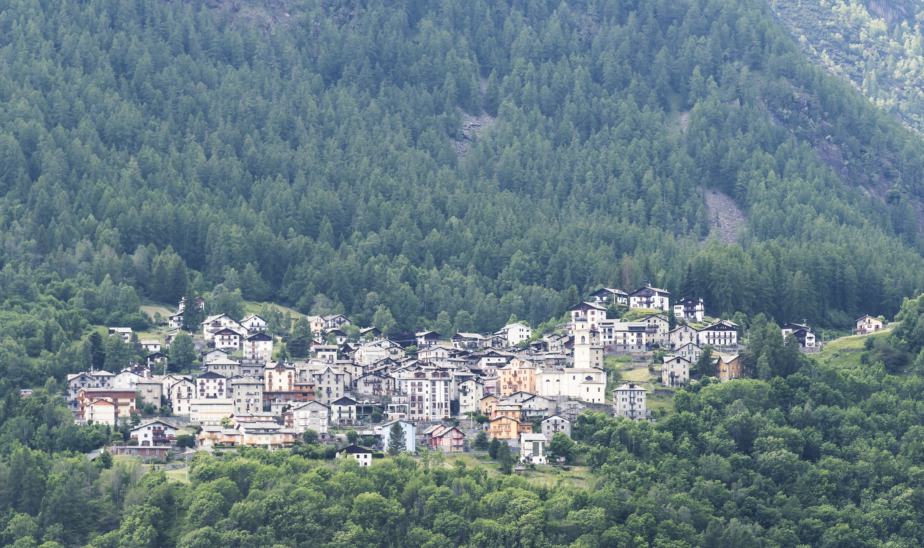
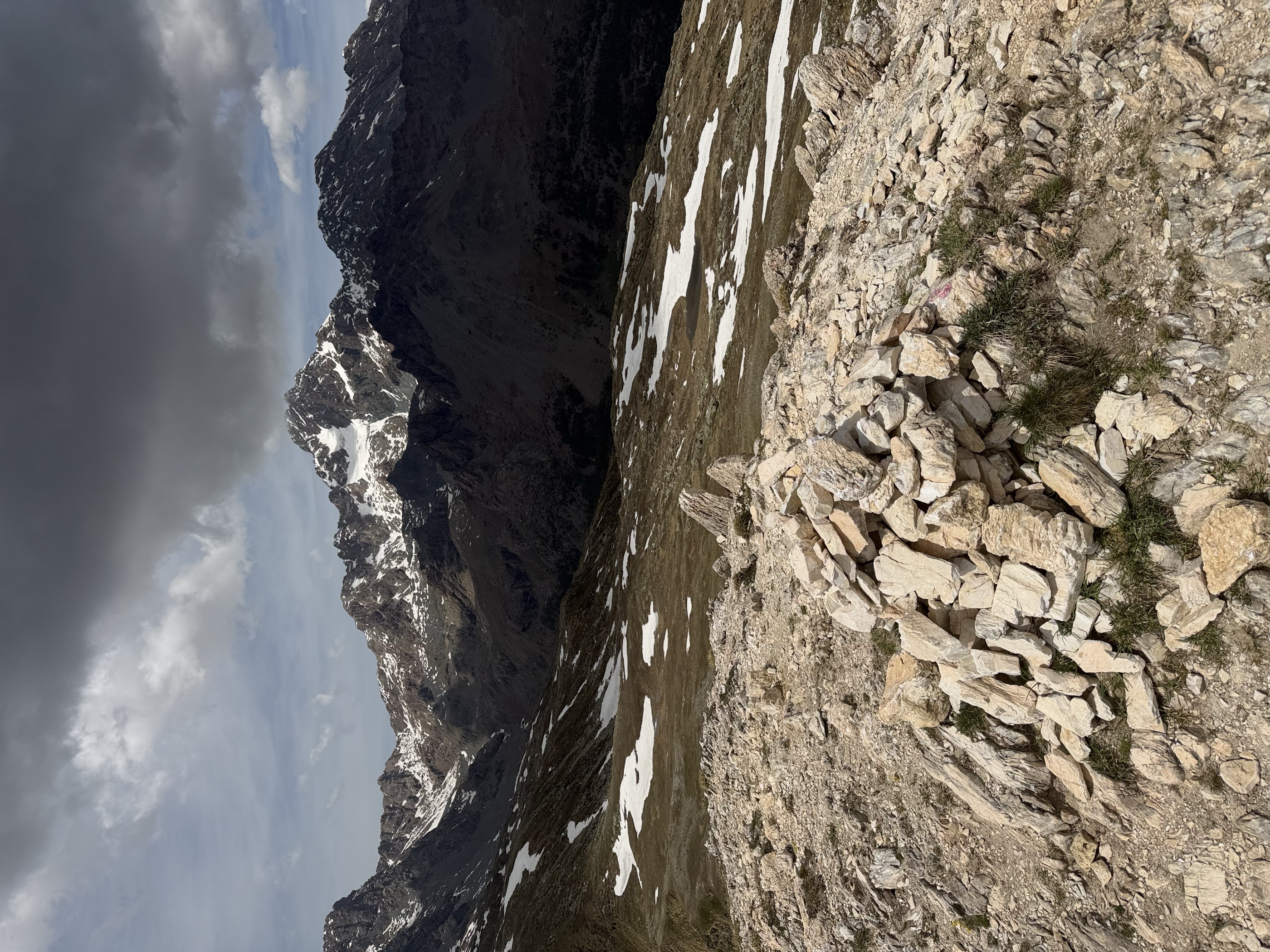
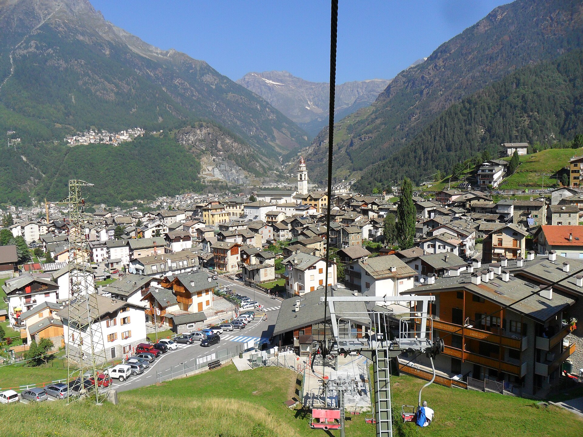
Valmalenco village on the terrace facing the Bernina, with ski slopes above and the Palù lake beyond.
- 3Highlights
- 5Routes
- Featured summit · Sasso Bianco
Highlights
12 from neighbouring places
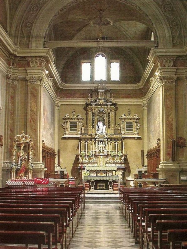
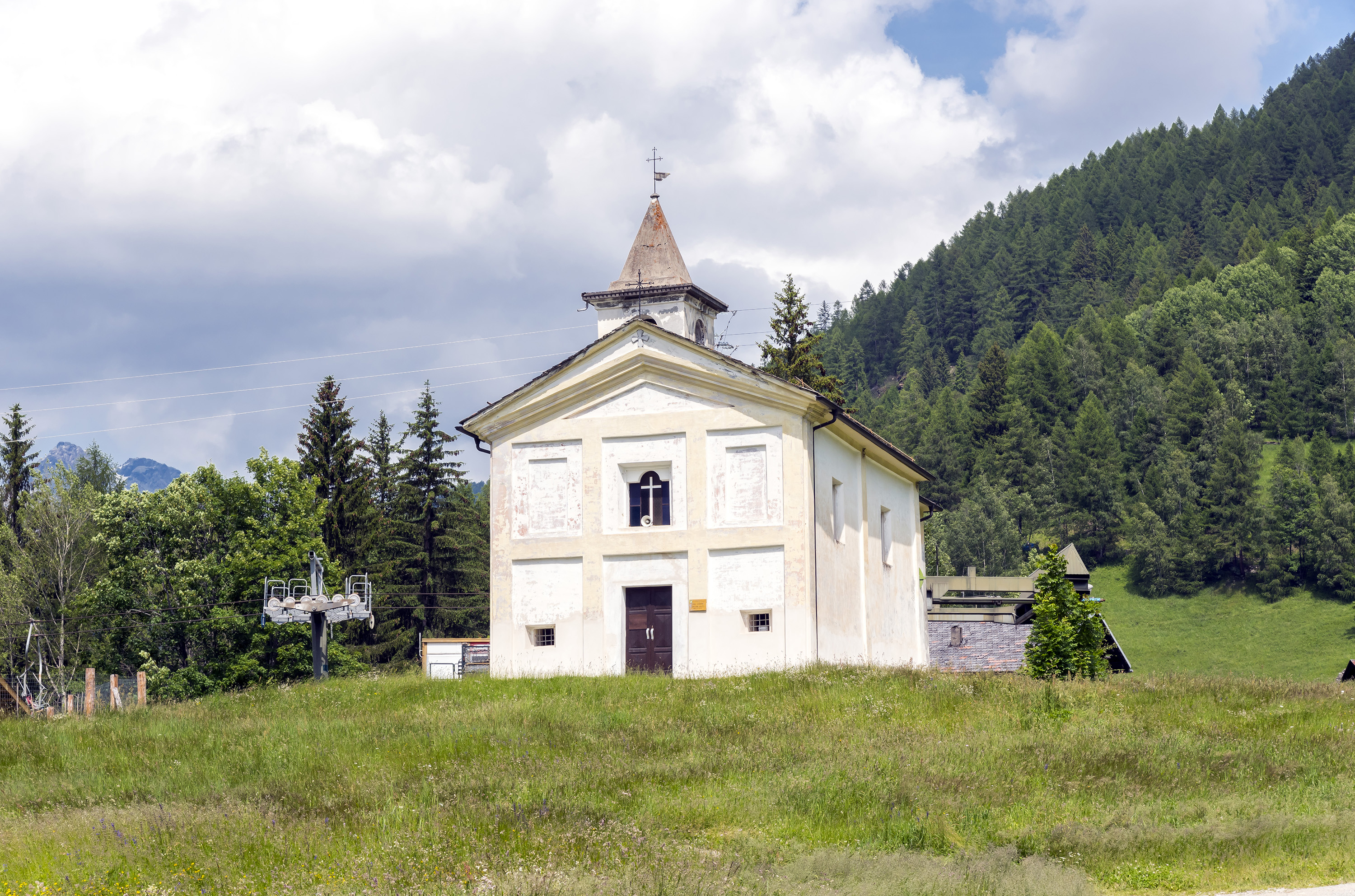
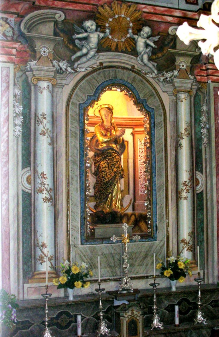
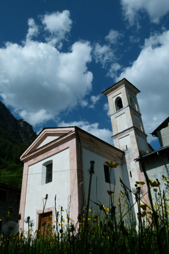
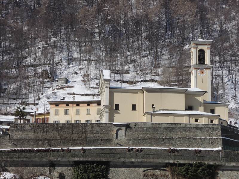
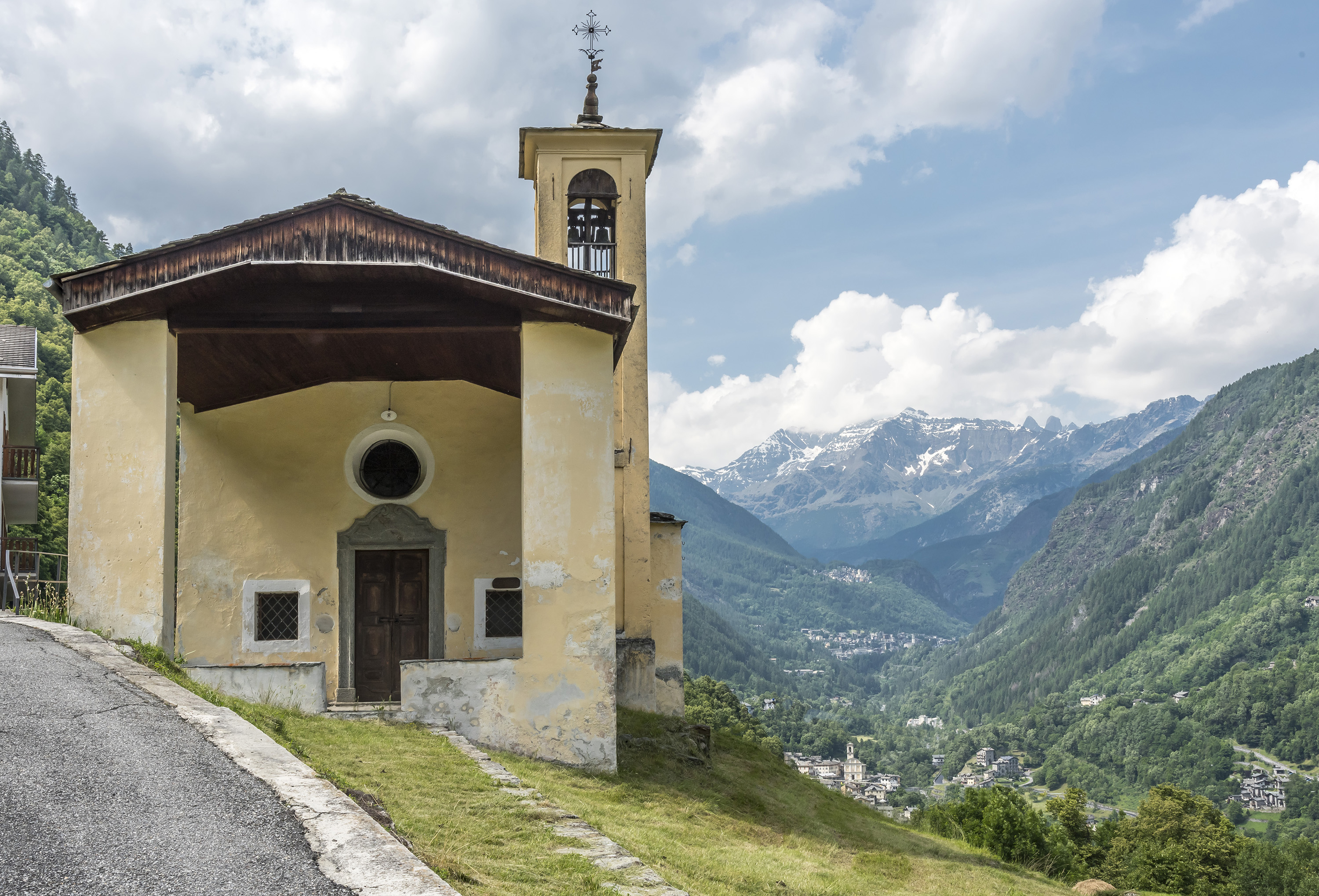
Chiesa dei SS. Rocco, Fabiano e Sebastiano
A votive church at Caspoggio, facing the Bernina across the Valmalenco.
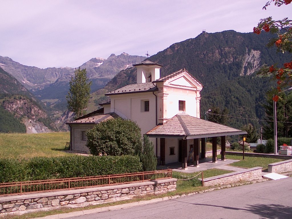
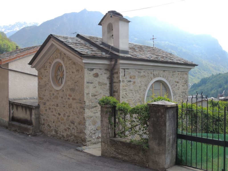
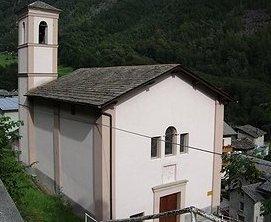
Chiesa di Sant'Antonio
A church at Caspoggio, on the terrace above the Valmalenco.
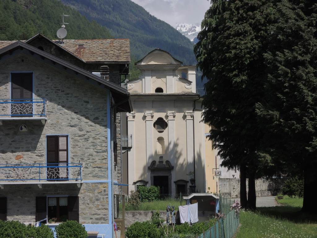
Chiesa di Santa Elisabetta
The parish church of Caspoggio, with the Disgrazia in view from its square.
Ecomuseo della Valmalenco
1.8 km away, in Lanzada
An ecomuseum in the Valmalenco on the serpentine quarrying and stone-roofing that shaped the valley.
Chiesa della Beata Vergine Immacolata
1.8 km away, in Lanzada
The most important church of the Valmalenco for its art and architecture, in the village of Lanzada.
Chiesa di Santa Emilia
2 km away, in Chiesa in Valmalenco
A small church on the Valmalenco slope above Chiesa, among the stone-roofed hamlets.
Chiesa della Madonna Addolorata
2.1 km away, in Lanzada
The church of the Madonna Addolorata in Lanzada, in the Valmalenco below the Bernina.
Chiesa di Sant'Anna
2.6 km away, in Torre di Santa Maria
A chapel above Torre di Santa Maria, on the path up the valley.
Chiesa di Santa Maria Nascente
2.6 km away, in Torre di Santa Maria
The parish church of Torre di Santa Maria, with its stone-slabbed roof.
Chiesa di San Carlo
2.7 km away, in Lanzada
The church of Vetto above Lanzada, traditionally built for the Lavizzari family of Sondrio.
Santuario della Beata Vergine delle Grazie
2.8 km away, in Chiesa in Valmalenco
A pilgrimage church in the Valmalenco, on the terrace above the valley floor.
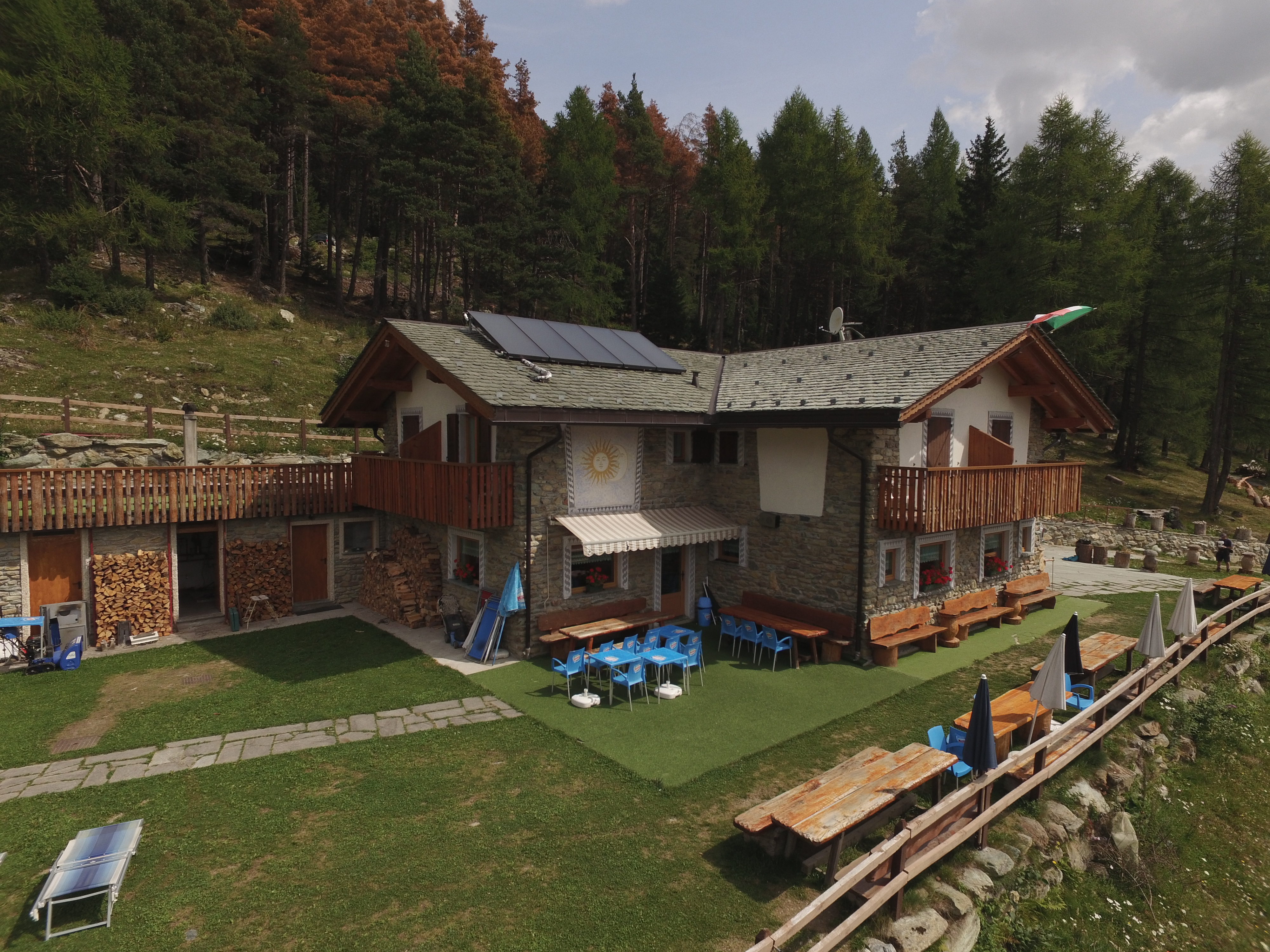
Rif. Alpe Ponte 1521m
2.9 km away, in Lanzada
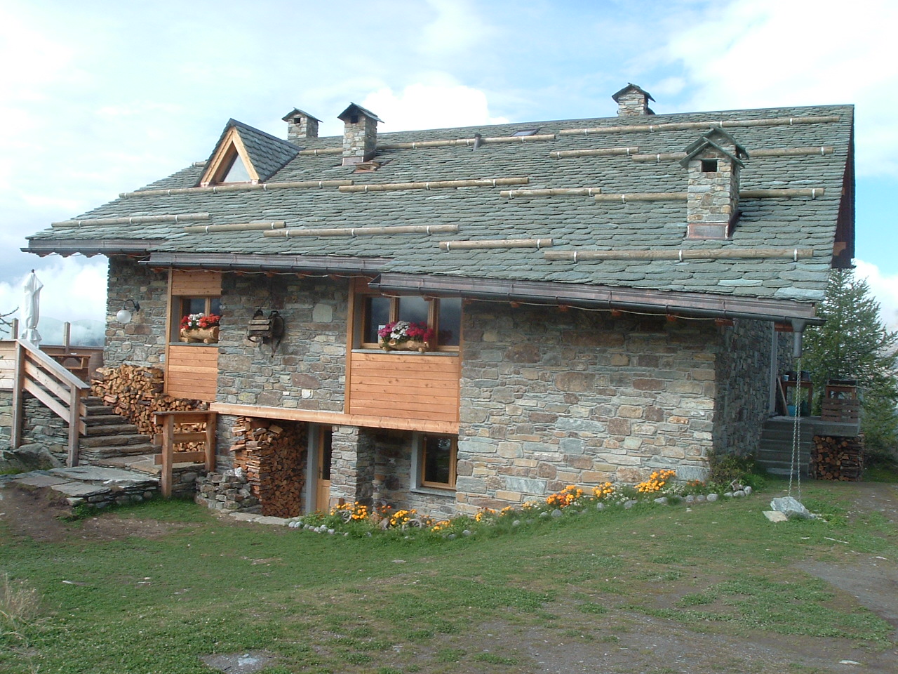
A hut at 1,521 m on a pasture a few kilometres above Lanzada, open all year.
Chiesa di San Giuseppe
3.4 km away, in Torre di Santa Maria
A church at Torre di Santa Maria, in the Valmalenco.
Chiesa di Sant'Abbondio all'Alpe Lago
3.6 km away, in Chiesa in Valmalenco
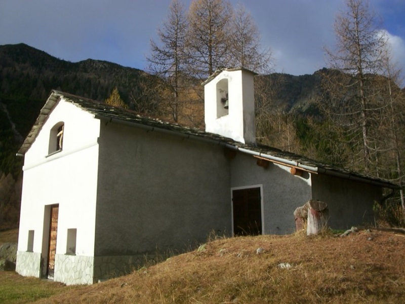
A chapel on the Alpe Lago pastures above the Valmalenco, reached on foot.
Rif. Motta 2236m
4.1 km away, in Chiesa in Valmalenco
A hut at 2,236 m on the Campagneda side of the Valmalenco, among small tarns.
Nothing of this kind in Caspoggio.
Routes
15 from neighbouring places
Ferrata and long hike Caspoggio
The Vigneron via ferrata in the Valmalenco, vertical and exposed on long slabs with stirrups and taut cable, taken with a longer walk in.
- 7.2 km
- Distance
- 623 m
- Ascent
- 5 h 1 min
- Duration
- 2
- Check-ins
Open route Valtellina OutdoorVia ferrata and short hike Caspoggio
The Vigneron via ferrata above Caspoggio with the shortest approach, steep and airy but well supplied with footholds, and low enough to climb most of the year.
- 3.5 km
- Distance
- 342 m
- Ascent
- 2 h 40 min
- Duration
- 2
- Check-ins
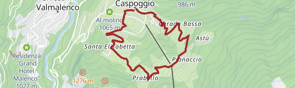
Open route Valtellina OutdoorThe high-altitude Botanical Garden E. Dioli of Caspoggio loop
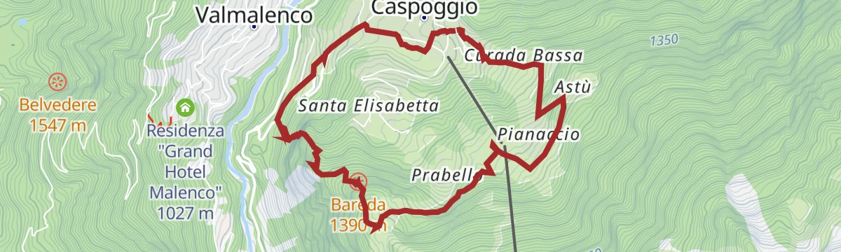
A loop from the old centre of Caspoggio by the Negrini quarter and its truna gallery to the E. Dioli alpine botanical garden.
- 4.9 km
- Distance
- 261 m
- Ascent
- 1 h 52 min
- Duration
Open route Valtellina OutdoorAlta Via della Valmalenco stage 8
The closing stage of the Alta Via, from Alpe Prabello by mule track to the peat bogs of Alpe Acquanera, then along the Acquanera-Cavaglia-Palino ridge back toward the valley.
- 11.5 km
- Distance
- 161 m
- Ascent
- 4 h 14 min
- Duration
- 55
- Check-ins
 Rifugio Cristina 2 287 m
- Piazzo Cavalli 1 720 m
 Lago dei Montagnoni 2 160 m
Open route Valtellina OutdoorAlta via della Valmalenco
Part of the eight-stage high route around the Valmalenco, some 110 km linking the valley's huts, here crossing the Sasso Bianco.
- 101.4 km
- Distance
- 7 852 m
- Ascent
- 51 h 1 min
- Duration
- 369
- Check-ins
Church, Lanzada, Campo Franscia, Campo Moro (MTB-EMTB)
2.1 km away, in Chiesa in Valmalenco
A long surfaced climb up Valmalenco through tunnels cut in the rock to the Campo Moro reservoir, passing Rifugio Zoia and Rifugio Poschiavino.
- 31.7 km
- Distance
- 1 378 m
- Ascent
- 4 h 7 min
- Duration
- 72
- Check-ins
Open route Valtellina OutdoorCima Motta from San Giuseppe
5.6 km away, in Chiesa in Valmalenco
A ski route from San Giuseppe on small roads and forest tracks by the Barchi hamlet, round Lago Palù and up to Monte Motta.
- 6.8 km
- Distance
- 892 m
- Ascent
- 92 m
- Descent
- 2 h 47 min
- Duration
- 40
- Check-ins
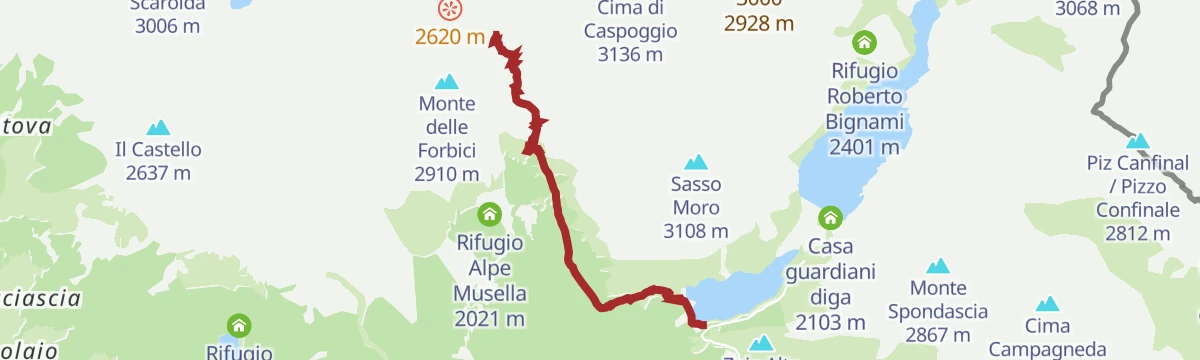
Open route Valtellina OutdoorMount Forbici - A balcony on the Bernina
7.4 km away, in Lanzada
A steep ride from the Campo Moro dam up to Rifugio Carate Brianza, the approach for the walk to the bocchetta facing the Bernina.
- 6.3 km
- Distance
- 974 m
- Ascent
- 1 h 28 min
- Duration
- 83
- Check-ins
 Monte delle Forbici 2 910 m
- Rifugio Poschiavino 1 993 m
 Bocchetta delle Forbici 2 656 m
- Rifugio Carate Brianza 2 636 m
Open route Valtellina OutdoorCarate Refuge
7.4 km away, in Lanzada
A climb from the Campo Moro dam, steep at first, then flattening through larches and out onto wide pasture at the Carate hut.
- 5.4 km
- Distance
- 723 m
- Ascent
- 1 h 9 min
- Duration
- 74
- Check-ins
Open route Valtellina OutdoorSondrio - Triasso - Castione Andevenno
9.1 km away, in Sondrio
A wine-route ride along the terraced Rhaetian slope of the Valtellina, returning on the flat through the Bartesaghi park beside the Adda.
- 14.7 km
- Distance
- 220 m
- Ascent
- 1 h 31 min
- Duration
- 1
- Check-ins
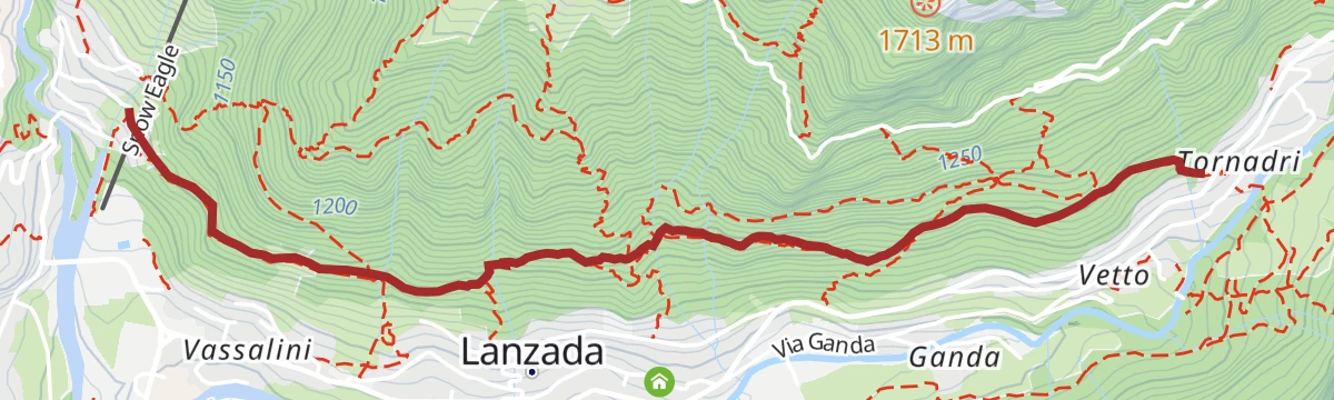
Open route Valtellina OutdoorSentiero Rusca second part
1.9 km away, in Chiesa in Valmalenco
The upper half of the old valley road to the Muretto pass, the historic way through the Valmalenco from Sondrio by Torre di Santa Maria and Chiareggio.
- 18.3 km
- Distance
- 1 678 m
- Ascent
- 7 h 29 min
- Duration
- 5
- Check-ins
Open route Valtellina OutdoorUn tempo esisteva il lago: il lago di Chiesa
2.2 km away, in Chiesa in Valmalenco
A walk above Chiesa in Valmalenco over the flats where a lake once stood, before the water found its way out of the basin.
- 5.0 km
- Distance
- 520 m
- Ascent
- 2 h 12 min
- Duration
Il faggio secolare di Lanzada e l'Alpe Ponte
2.6 km away, in Chiesa in Valmalenco
A short walk to the old beech above Lanzada and the Alpe Ponte, sunny and sheltered from the wind, so worth doing out of season.
- 3.3 km
- Distance
- 240 m
- Ascent
- 1 h 29 min
- Duration
Via Ferrata at Torrione Porro
8.5 km away, in Chiesa in Valmalenco
A ferrata above the Gerli-Porro hut in Valmalenco, reached by a steep half-hour path; more traversing on cable than actual climbing.
- 2.2 km
- Distance
- 459 m
- Ascent
- 2 h 43 min
- Duration
- 7
- Check-ins
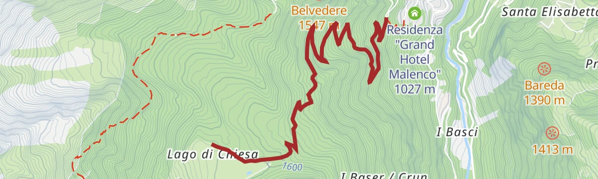
Open route Valtellina OutdoorChiesa, Lago di Chiesa, Rifugio Bosio, Alpe Pirlo (MTB-EMTB)
2.2 km away, in Chiesa in Valmalenco
A two-part climb from the valley floor towards Primolo, then on dirt and concrete hairpins through the woods into Val Torreggio for Rifugio Bosio.
- 28.1 km
- Distance
- 1 281 m
- Ascent
- 3 h 42 min
- Duration
- 9
- Check-ins
Open route Valtellina OutdoorGravel rurale in Valtellina
9.1 km away, in Sondrio
A demanding gravel route from Sondrio to Villa di Tirano on the old terraced side of the Valtellina.
- 76.7 km
- Distance
- 1 775 m
- Ascent
- 8 h 28 min
- Duration
- 17
- Check-ins
- Ristorante da Silvio Fancoli 559 m
- Azienda Bondio Cristina 529 m
- Ristorante Belandin 675 m
- Convento di San Lorenzo 441 m
- Osteria al Sole 559 m
- Chiosco 286 m
- +3
Open route Valtellina OutdoorBoirolo (Tresivio), Alpe Rogneda, Bocchetta Mara (MTB-EMTB)
9.1 km away, in Tresivio
A steep e-bike climb from the car park at 1,500 m above Tresivio, up past Rifugio Alpini Santo Stefano and Alpe Rogneda to the pass above.
- 12.0 km
- Distance
- 821 m
- Ascent
- 2 h 5 min
- Duration
- 6
- Check-ins
Open route Valtellina OutdoorWine Bike Tour 3 - Natura
9.1 km away, in Sondrio
A short tour from Sondrio through the vineyards and green corners of the Adda valley floor, one of the town's numbered wine-route rides.
- 12.8 km
- Distance
- 154 m
- Ascent
- 1 h 17 min
- Duration
Lanzada-Campo Moro
2 km away, in Lanzada
A road ascent up the Valmalenco to the Campo Moro and Gera dams, used as a time-trial climb in the 2018 women's Giro.
- 15.4 km
- Distance
- 1 119 m
- Ascent
- 5 h 27 min
- Duration
- 69
- Check-ins
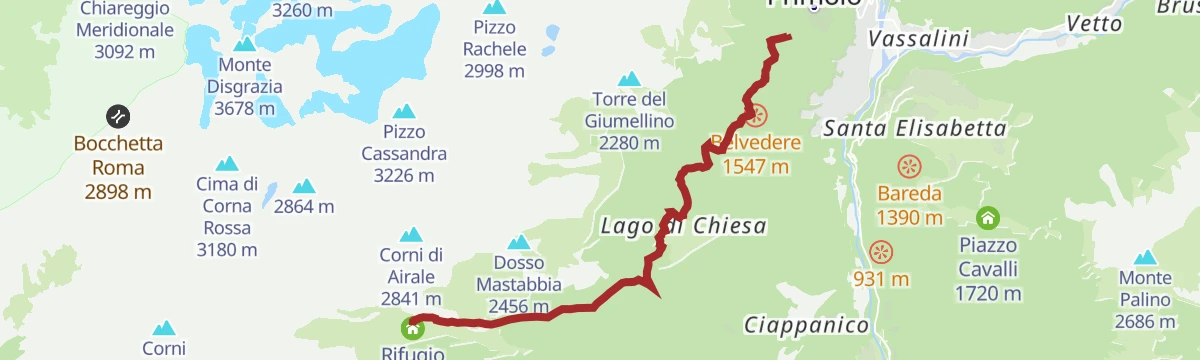
Open route Valtellina OutdoorRifugio Bosio-Galli (from Primolo)
3 km away, in Chiesa in Valmalenco
An approach to the Bosio-Galli hut from Primolo, on a dirt road and then CAI paths by Alpe Pirlo, with no permit needed for the car.
- 8.4 km
- Distance
- 719 m
- Ascent
- 3 h 20 min
- Duration
- 17
- Check-ins
Open route Valtellina Outdoor
No routes of this kind in Caspoggio yet.
The region's own picks
Featured route
The high-altitude Botanical Garden E. Dioli of Caspoggio loop
A loop from the old centre of Caspoggio by the Negrini quarter and its truna gallery to the E. Dioli alpine botanical garden.
Planning a trip to Caspoggio?
Everything else Lombardy has, in one place


Take Caspoggio with you into the mountains
Every route on this page with 3D terrain, GPX navigation and offline maps — including the valleys with no signal.
Data sources
- Official website: sondrioevalmalenco.it ↗
- Routes and highlights: Sondrio e Valmalenco, Valtellina Outdoor, in Lombardia
- Published as open data by the tourist boards named above.
- Region summary generated from the board's own material.
