
 Historic site







Curated by in Lombardia
Carona
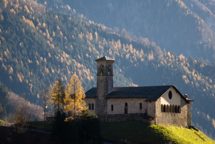
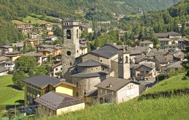
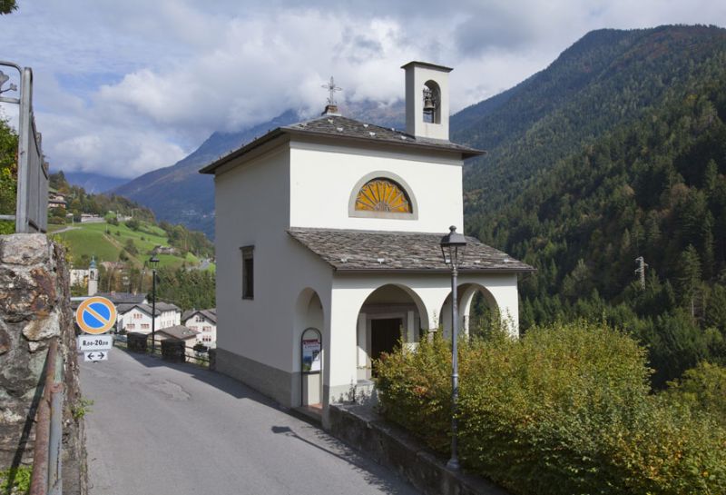
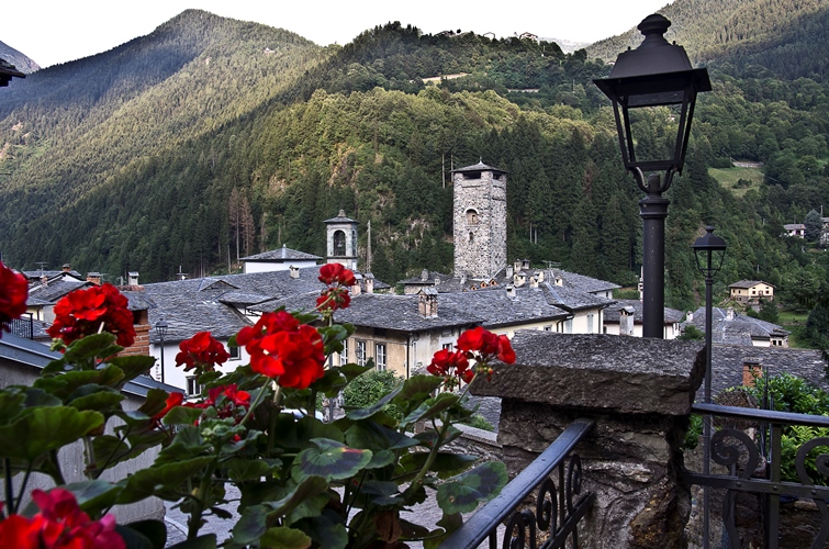
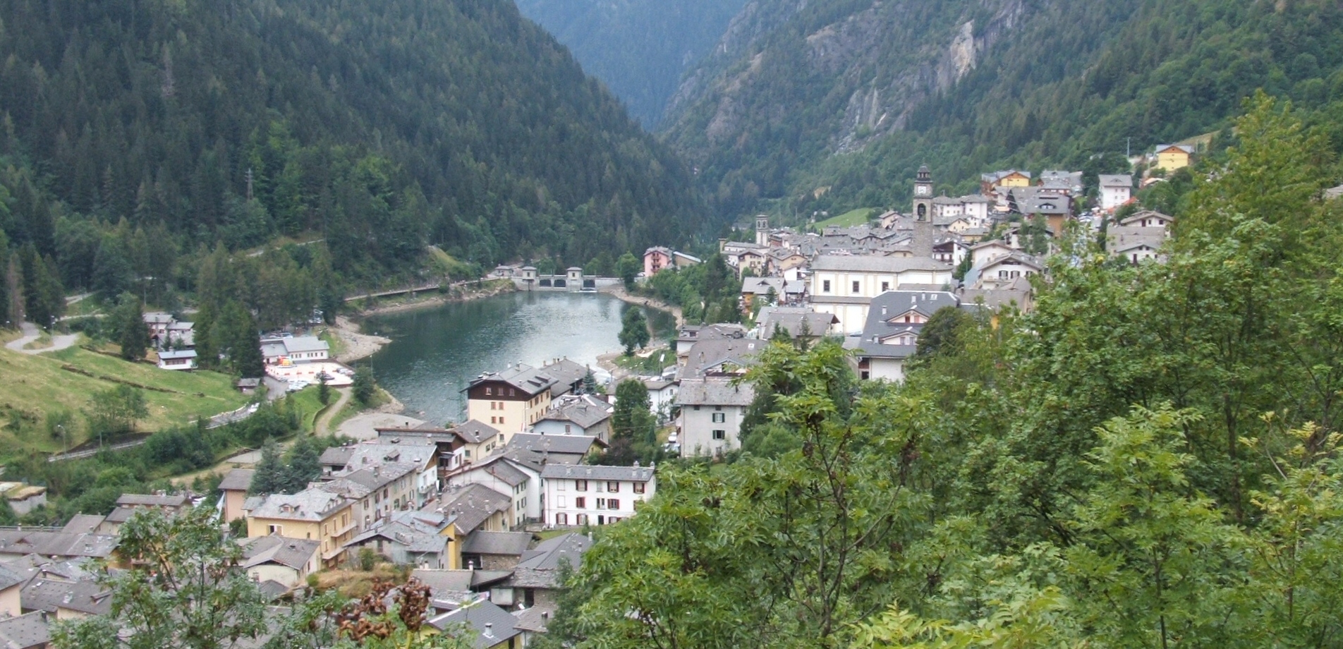
Village at the top of the Brembana valley, where the Brembo rises and the reservoirs and refuges of the Orobie begin.
- 15Highlights
- 9Routes
- Featured summit · Monte Aga
Highlights
All 15 from neighbouring places
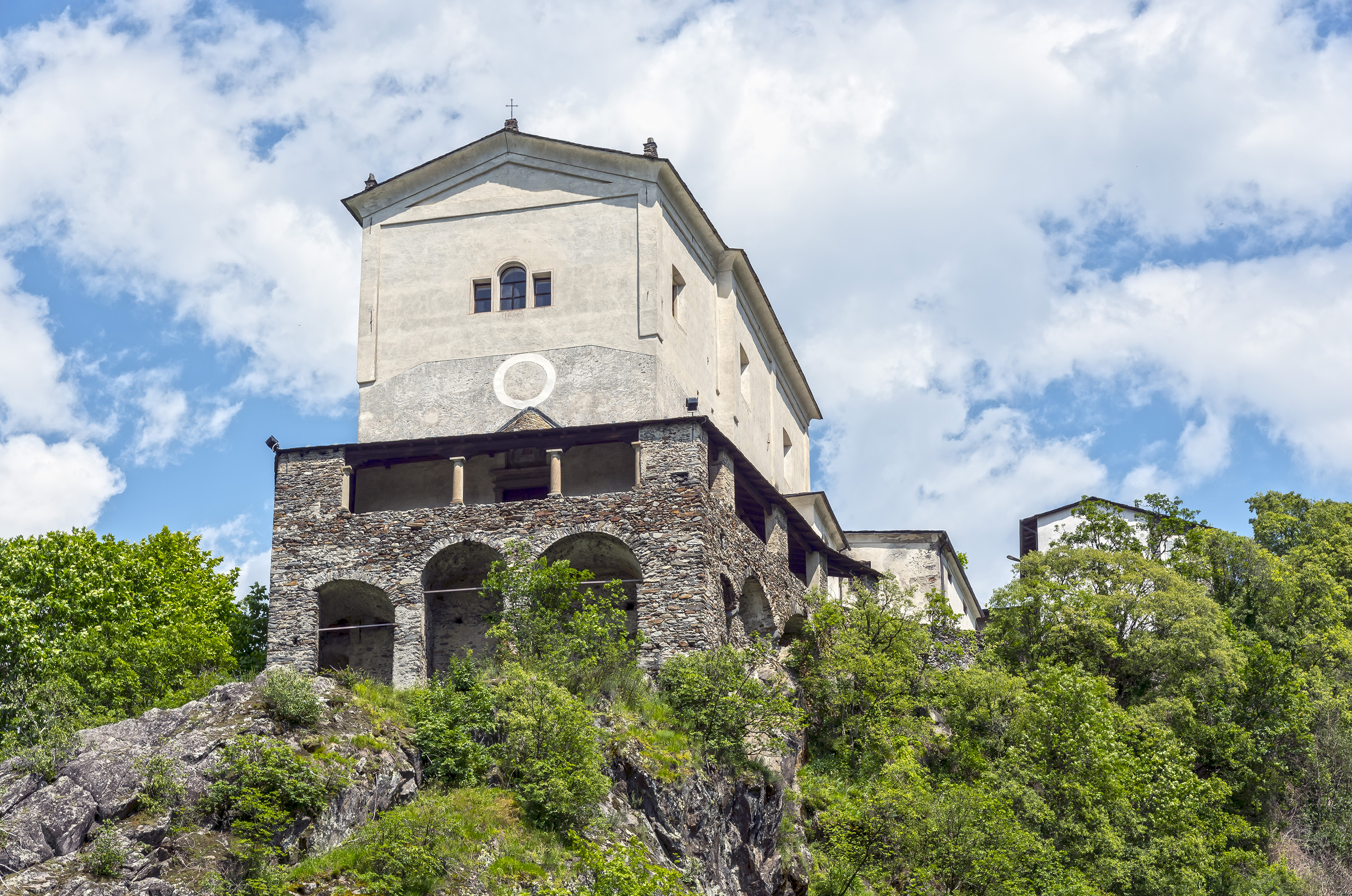
Chiesa di Santa Maria Nascente
9.1 km away, in Gandellino
A church in the Gandellino hamlets, above the Serio.
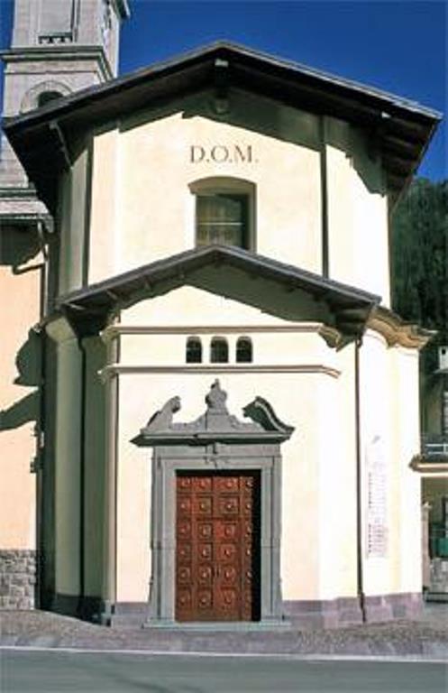
Chiesa di Sant’Antonio Abate
9.6 km away, in Valbondione
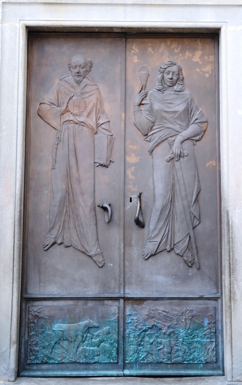
A small church on the Valbondione slope, on the old track up the valley.
Museo dell’Identità e della Cultura Locale
13.4 km away, in Valbondione
A museum at Valbondione on shepherding, mining and life at the head of the Val Seriana.
Chiesa di San Vittore
13.8 km away, in Caiolo
The parish church of Caiolo, on the Orobie slope facing Sondrio.
Chiesa di San Bernardino
14 km away, in Valbondione
The church at Valbondione, at the foot of the path to the Serio waterfalls.
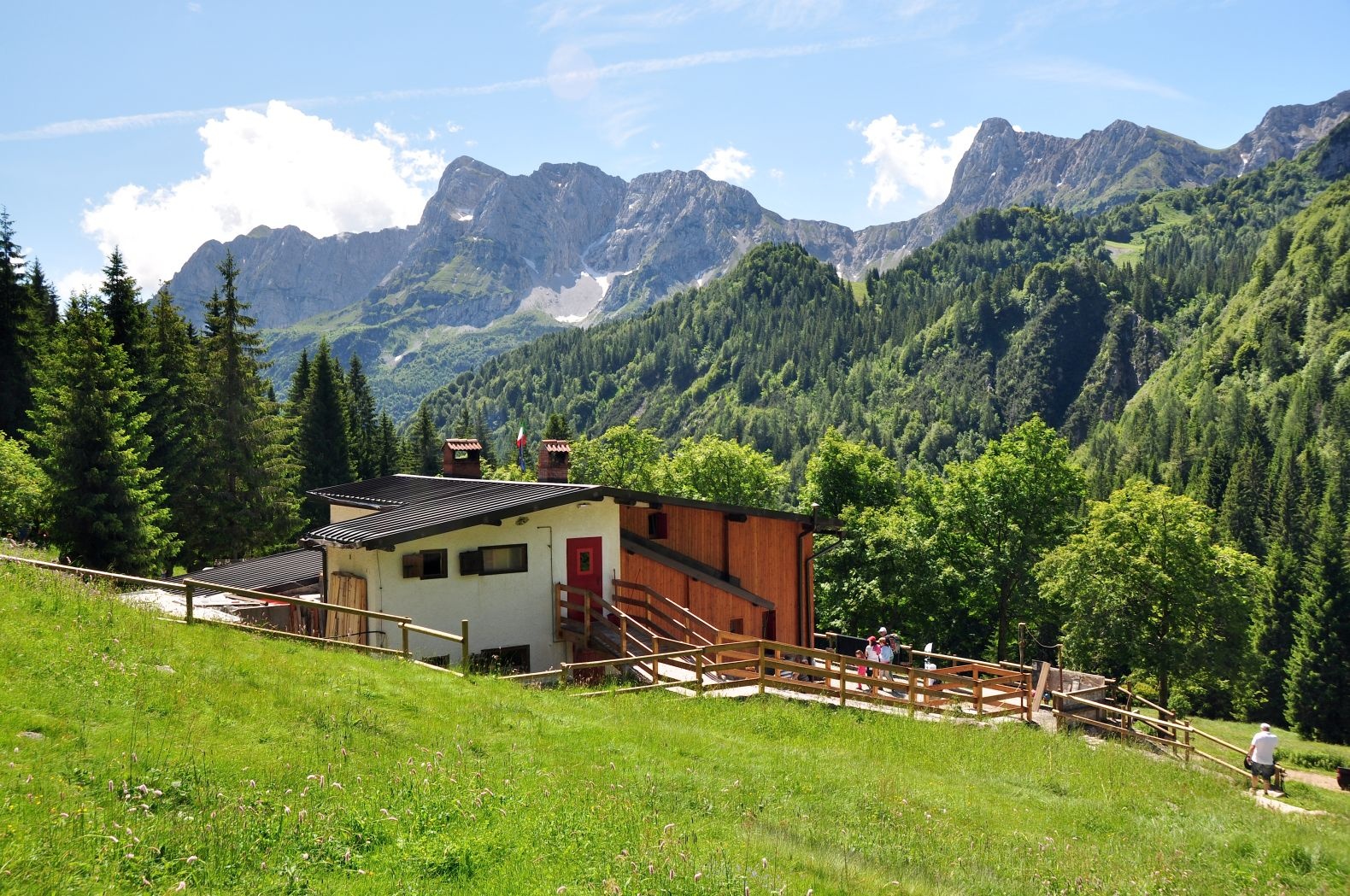
Schutzhütte Alpe Corte Bassa
8.6 km away, in Ardesio
A hut on the Alpe Corte Bassa pasture above Ardesio, at the mouth of the Valcanale.
Chiesa Parrocchiale di Santa Maria Assunta
8.7 km away, in Ardesio
A parish church dedicated to the Assumption in the Ardesio valley.
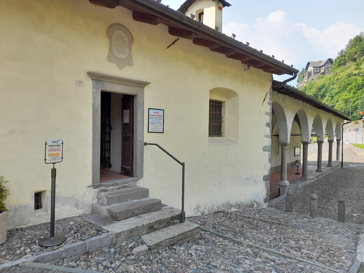
Museo parrocchiale di Gromo “Mons. Luigi Morstabilini”
9.7 km away, in Gromo
The parish collection at Gromo: vestments, silver and paintings from the valley's churches.
Chiesa della Crocetta
9.7 km away, in Gromo
A small church above Gromo, on the path out of the village.
MAP
9.8 km away, in Gromo
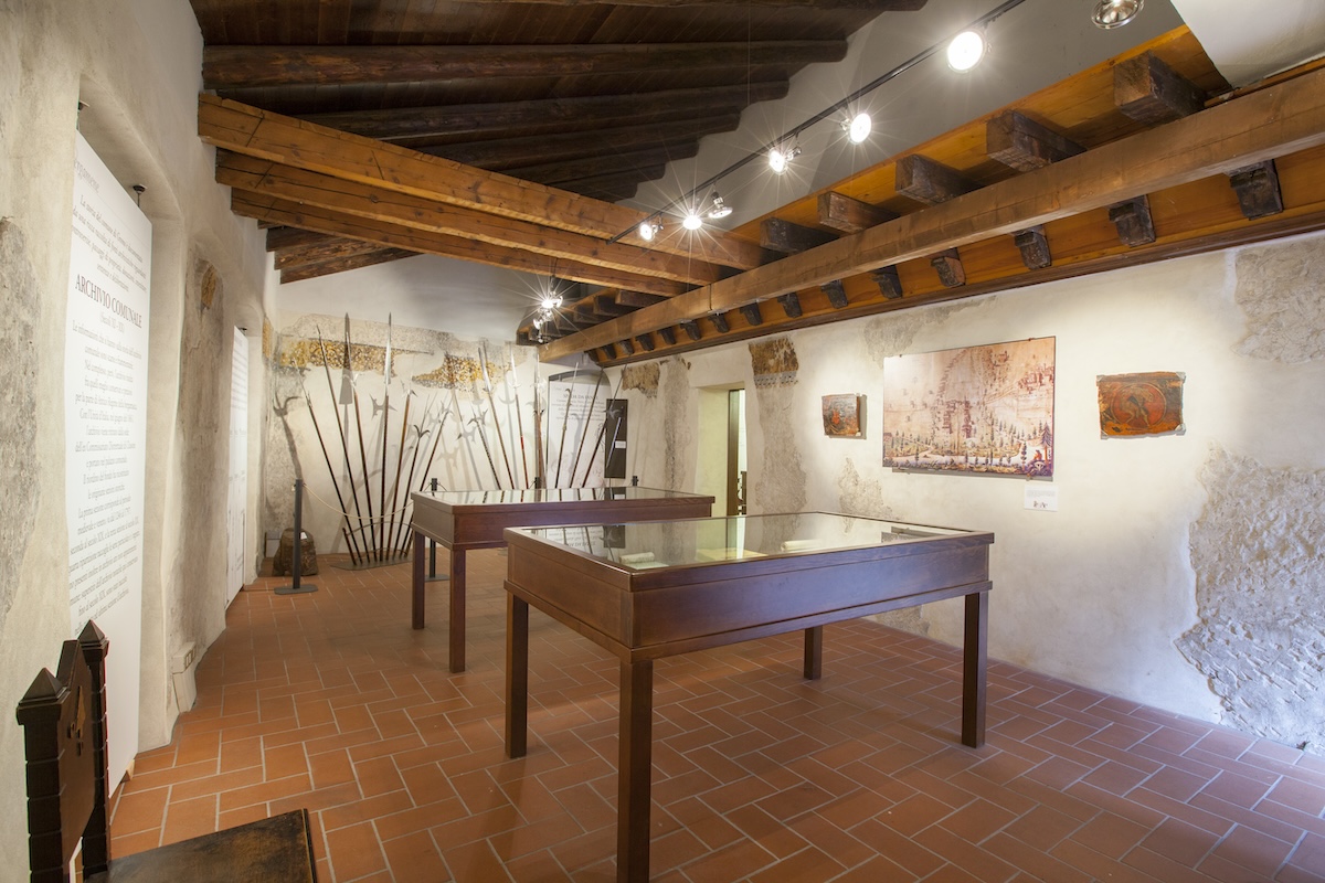
Gromo's museum of arms and mining, in the Castello Ginami above the village.
Castello Ginami
9.8 km away, in Gromo
A fourteenth-century tower house in Gromo, the seat of the family that ran the valley's blade forges.
Chiesa Parrocchiale San Giovanni Battista
9.9 km away, in Ardesio
The parish church of San Giovanni Battista in the Ardesio hamlets of the upper Val Seriana.
Chiesa di San Giacomo Apostolo e San Vincenzo Levita
9.9 km away, in Gromo
Gromo's parish church, on the terrace above the Serio gorge.
Chiesa di San Gregorio Magno
9.9 km away, in Gromo
A church in Gromo, near the old square where the blade-makers had their workshops.
Nothing of this kind in Carona.
Routes
11 from neighbouring places
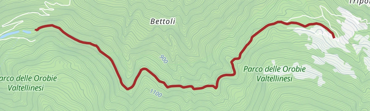
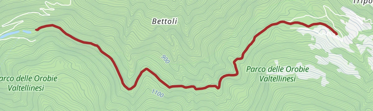
Da Carona al Rifugio Laghi Gemelli
The long climb from Carona at the head of the Brembana valley to the Laghi Gemelli hut.
- 5.6 km
- Distance
- 877 m
- Ascent
- 3 h 28 min
- Duration
- 210
- Check-ins
Fra laghi e rifugi del Diavolo
A long day above Carona in the upper Val Brembana, up the jeep track by Lago del Prato and Lago di Fregabolgia to the Calvi hut and the Diavolo lakes.
- 20.0 km
- Distance
- 1 347 m
- Ascent
- 9 h 3 min
- Duration
- 358
- Check-ins
Dal Rifugio Laghi Gemelli al Calvi
A lake-linking walk on CAI path 213 above Carona, past the Lago delle Casere and Lago Marcio on the way between two refuges.
- 10.8 km
- Distance
- 545 m
- Ascent
- 3 h 55 min
- Duration
- 178
- Check-ins
Fioriture estive al Passo di Valsecca
A climb from Carona to the Passo di Valsecca, taken in high summer for the alpine flowers on the Orobie ridge.
- 11.9 km
- Distance
- 1 383 m
- Ascent
- 5 h 55 min
- Duration
- 281
- Check-ins
Dal Rifugio F.lli Longo al Rifugio F.lli Calvi
A high traverse in the Orobie between the Longo and Calvi huts, above the reservoirs at the head of the Val Brembana.
- 8.8 km
- Distance
- 798 m
- Ascent
- 4 h 23 min
- Duration
- 159
- Check-ins
 Rifugio Fratelli Calvi 2 015 m
- Rifugio F.lli Calvi 2 000 m
- Rifugio Fratelli Longo 2 026 m
 Lago Rotondo 1 971 m
 Passo Selletta 2 372 m
- Pozze dell'Archinello 2 074 m
- +2
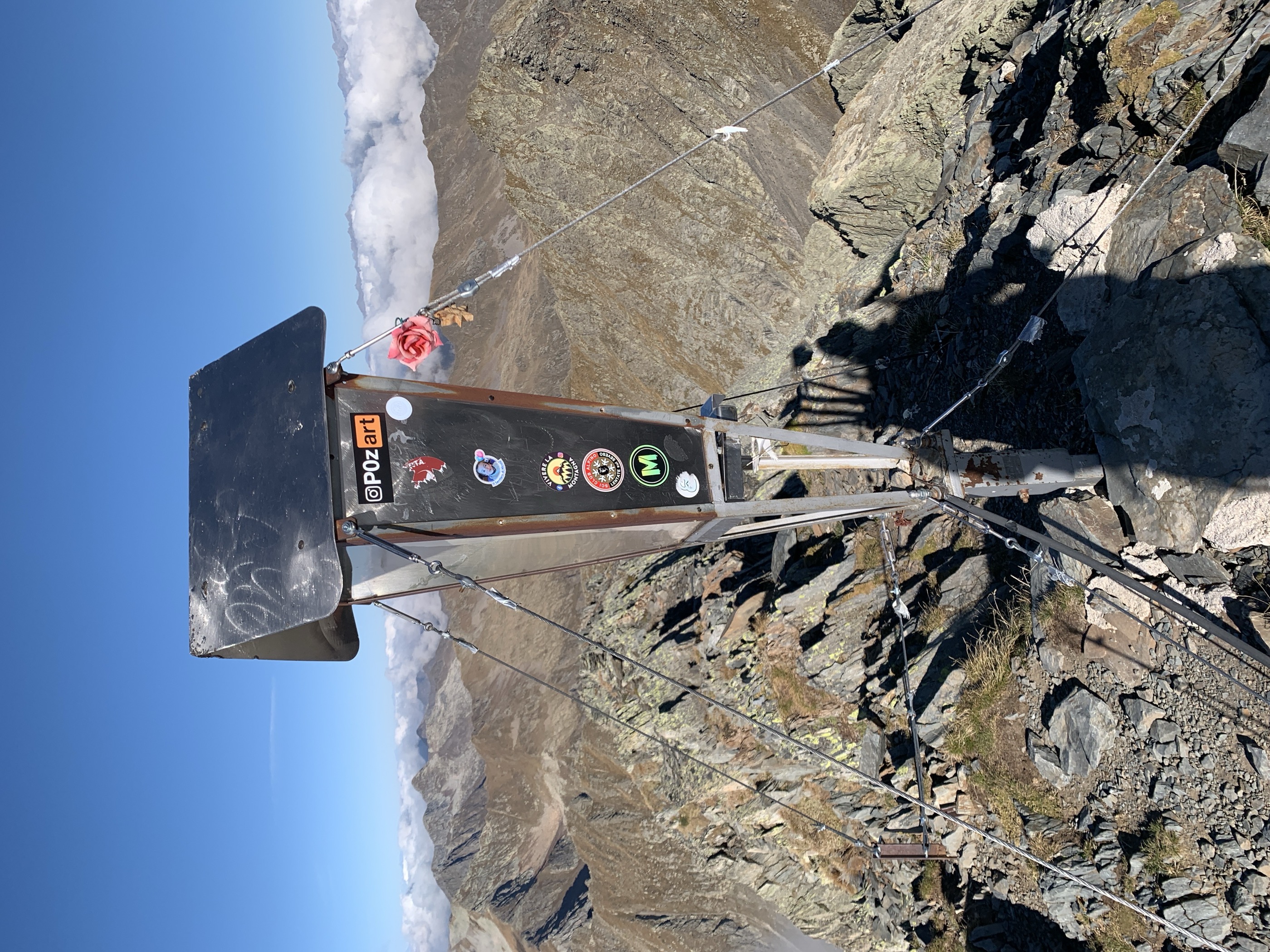
Monte Aga
An ascent of Monte Aga from Carona, by road to the Longo hut, then past the Lago del Diavolo to the Passo della Cigola.
- 14.1 km
- Distance
- 1 622 m
- Ascent
- 8 h 2 min
- Duration
- 168
- Check-ins
Da Carona al Rifugio Calvi
A walk from Carona up to the Calvi hut, set beneath the highest peaks of the Orobie at the head of the Val Brembana.
- 7.4 km
- Distance
- 747 m
- Ascent
- 3 h 11 min
- Duration
- 149
- Check-ins
Dal Rifugio F.lli Calvi al Rifugio Brunone
A traverse on CAI 225 from the Calvi hut past Lago Rotondo into the young Brembo valley, under the Pizzo del Diavolo di Tenda.
- 10.5 km
- Distance
- 1 003 m
- Ascent
- 5 h 42 min
- Duration
- 136
- Check-ins
- Rifugio Fratelli Calvi 2 015 m
- Rifugio F.lli Calvi 2 000 m
- Rifugio Antonio Baroni al Brunone 2 295 m
- Lago Rotondo 1 971 m
- Bivacco Aldo Frattini 2 225 m
- Laghetto alle Sorgenti del Brembo 2 294 m
- +1
Da Carona al Rifugio Longo
A climb from Carona in the upper Val Brembana to the Fratelli Longo hut, a little above the Lago del Diavolo.
- 8.9 km
- Distance
- 1 080 m
- Ascent
- 4 h 39 min
- Duration
- 124
- Check-ins
- Baita Birone 1 479 m
- Il Bivacco 1 311 m
- Rifugio Fratelli Longo 2 026 m
- Pozze dell'Archinello 2 074 m
- Pozze dell'Archinello 2 074 m
San Simone in MTB
6.9 km away, in Valleve
A hard climb from Valleve into the high basin of San Simone and on to the Passo di Tartano, past Casera Sessi and the Baite dei Fontanini.
- 19.3 km
- Distance
- 1 036 m
- Ascent
- 2 h 49 min
- Duration
- 93
- Check-ins
Val Sedornia in MTB
9.9 km away, in Gromo
A climb out of Gromo into the Val Sedornia, passing the Ristorante Posta al Castello and the barns at Stalle del Flesco.
- 21.0 km
- Distance
- 884 m
- Ascent
- 2 h 42 min
- Duration
- 43
- Check-ins
Con le pelli fin sul Pizzo Brunone
10.4 km away, in Piateda
A ski-touring line to the Pizzo Brunone starting at Agneda, a hamlet left empty in winter with a fifteenth-century church of Sant'Agostino.
- 8.7 km
- Distance
- 1 791 m
- Ascent
- 301 m
- Descent
- 5 h 2 min
- Duration
- 1
- Check-ins
La Decauville delle Orobie
14.9 km away, in Piateda
The early twentieth-century service railway built for the Orobie hydro plants, now a level walking and biking track through cool woods.
- 5.2 km
- Distance
- 50 m
- Ascent
- 1 h 20 min
- Duration
Foppolo, Lago Moro e Valcervia
6 km away, in Foppolo
A climb from Foppolo at the head of the Val Brembana to the small Lago Moro and the Valcervia basin above the village.
- 4.8 km
- Distance
- 693 m
- Ascent
- 2 h 43 min
- Duration
- 98
- Check-ins
- Terrazza Salomon 2 081 m
- Passo della Croce 1 953 m
- Bar Paganoni 1 636 m
- Lago Foppelle 1 698 m
- Passo di Valcervia 2 318 m
Gran Via delle Orobie stage 7 - Credaro path
3.5 km away, in Caiolo
A high stage from the Caprari hut in the Livrio valley over the Scoltador, Branda and Forcellino passes to the Mambretti hut in Val Scais.
- 17.7 km
- Distance
- 1 609 m
- Ascent
- 10 h 19 min
- Duration
- 4
- Check-ins
- Rifugio Luigi Mambretti 2 004 m
- Baita Cornascio 1 557 m
- Capanna Messa 1 546 m
- Baita Zocco 1 814 m
- Passo del Forcellino 2 240 m
- Baite Cìgola 1 874 m
- +5
Open route Valtellina OutdoorCaiolo; Val Cervia, Arale, Cedrasco, Caiolo (MTB-EMTB)
13.8 km away, in Caiolo
A circular ride above Caiolo, paved as far as San Bernardo and then dirt, using the high firebreak track across to the Cedrasco side.
- 27.1 km
- Distance
- 1 377 m
- Ascent
- 3 h 48 min
- Duration
- 4
- Check-ins
- CNSAS Corpo Nazionale Soccorso Alpino e Speleologico 274 m
- AREU Base elisoccorso di Caiolo 275 m
- Scuola di volo 275 m
Open route Valtellina OutdoorValli di Tartano gran tour con cli sci
14.7 km away, in Tartano
A long, demanding high route through the Tartano mountains, crossing Passo di Lemma and Passo del Vallone within sight of the granite walls of Val Masino.
- 13.5 km
- Distance
- 1 342 m
- Ascent
- 1 184 m
- Descent
- 5 h 5 min
- Duration
- 27
- Check-ins
The Orobie Decauville
14.9 km away, in Piateda
A flat path on the bed of the narrow-gauge line that once served the Orobie dams, shaded and cooler than the valley below.
- 5.2 km
- Distance
- 30 m
- Ascent
- 1 h 17 min
- Duration
Open route Valtellina OutdoorGiro dei laghi di Foppolo
6.4 km away, in Foppolo
A loop from the Rovera hamlet at Foppolo, in the upper Brembana valley, past high lakes below the Cima di Val Cervia.
- 11.3 km
- Distance
- 794 m
- Ascent
- 5 h 15 min
- Duration
- 101
- Check-ins
Da Branzi al Rifugio Laghi Gemelli
6 km away, in Branzi
The less-travelled Sentiero del Partigiano, a steep climb out of Branzi in the Alta Val Brembana to the huts by the lakes in the Orobie.
- 4.7 km
- Distance
- 1 147 m
- Ascent
- 4 h 12 min
- Duration
- 177
- Check-ins
No routes of this kind in Carona yet.
The region's own picks
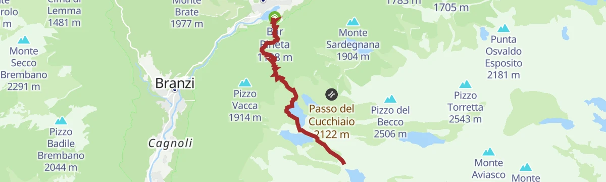
Featured route
Da Carona al Rifugio Laghi Gemelli
The long climb from Carona at the head of the Brembana valley to the Laghi Gemelli hut.
Planning a trip to Carona?
Everything else Lombardy has, in one place


Take Carona with you into the mountains
Every route on this page with 3D terrain, GPX navigation and offline maps — including the valleys with no signal.
Data sources
- Official website: altobrembo.it ↗
- Routes and highlights: in Lombardia, Val Seriana, Valtellina Outdoor, Sondrio e Valmalenco, Visitbergamo
- Published as open data by the tourist boards named above.
- Region summary generated from the board's own material.
