
Curated by APT Madonna di Campiglio, Pinzolo, Val Rendena
Carisolo
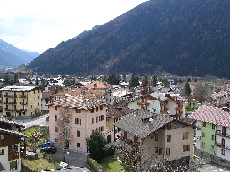
A Val Rendena village at the mouth of the Val Genova, between the Adamello-Presanella and the Brenta groups.
Photo: Arina1407 · CC BY-SA 3.0 licence
- 3Highlights
- 40Routes
- Featured summit · Croz del Sass
Highlights
All 3 from neighbouring places
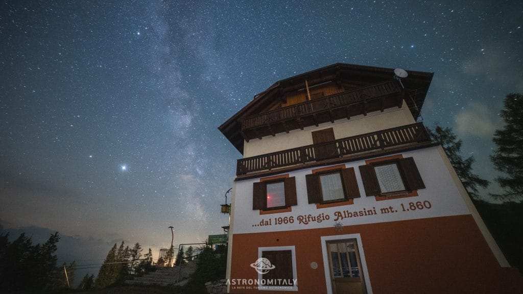
Rifugio Albasini
12.4 km away, in Dimaro Folgarida
A hut above Folgarida in the Val di Sole, certified as a dark-sky site for star watching.
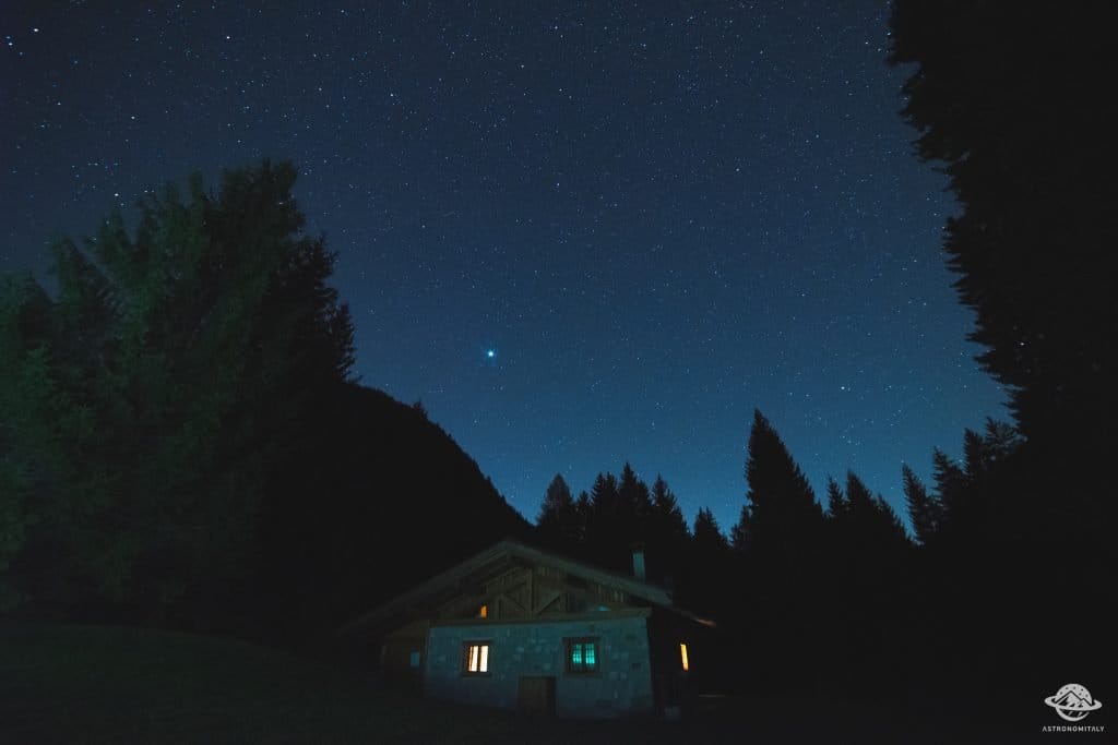
Baita Valon
13.1 km away, in Comano Terme
A hut on the Valon meadows above Comano, used for walks and for its dark night skies.
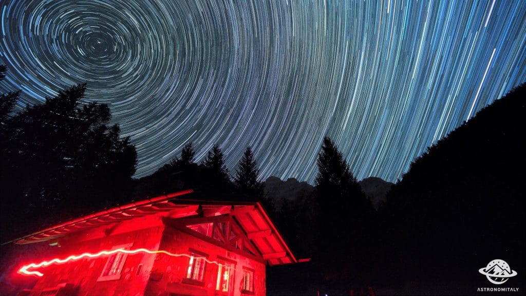
Stargazing a Baita Valon, Trentino
13.1 km away, in Comano Terme
Night-sky watching from the Valon meadows above Comano Terme, away from valley lights.
Nothing of this kind in Carisolo.
Routes
Longevity Trail - Val Nambrone
A short link in the Val Nambrone from the Rifugio Cornisello to the Lago Nero, among high pastures and glacier-worn rock in the Adamello-Brenta park.
- 5.1 km
- Distance
- 173 m
- Ascent
- 1 h 37 min
- Duration
- 67
- Check-ins
 Rifugio Cornisello 2 120 m
 Lago di Cornisello Inferiore 2 087 m
- Malga Cornisello 2 121 m
- Vecchia funivia Enel 2 163 m
Open route APT Madonna di Campiglio, Pinzolo, Val RendenaRifugio Segantini tour
A climb from the Cornisello lakes in Val Nambrone to the Rifugio Segantini, the base under the granite of the Presanella.
- 9.4 km
- Distance
- 554 m
- Ascent
- 3 h 52 min
- Duration
- 122
- Check-ins
 Croz del Sass 2 328 m
- Rifugio Segantini 2 373 m
- Rifugio Cornisello 2 120 m
- Malga Valina d'Amola 2 008 m
 Bocchetta de l'Om 2 353 m
- Vecchia funivia Enel 2 163 m
- +1
Open route APT Madonna di Campiglio, Pinzolo, Val RendenaMadonna di Campiglio
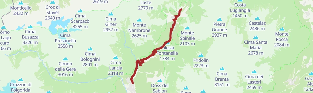
The road climb to Madonna di Campiglio and Patascoss, foot of the 3 Tre piste, whose closing kilometres decided a 2015 Giro stage.
- 15.6 km
- Distance
- 1 011 m
- Ascent
- 5 h 19 min
- Duration
- 165
- Check-ins
Road bike tour of Campiglio and Comano
A long road day from Pinzolo down the Sarca to Comano Terme, then back over Passo Durone and the steeper Passo Daone above Preore.
- 106.9 km
- Distance
- 3 187 m
- Ascent
- 12 h 30 min
- Duration
- 205
- Check-ins
- Falesia Fontanella 1 384 m
- Fortini 1 629 m
- LAB Après-Ski 1 632 m
- Laghetto Conca Verde 1 496 m
- Passo Campo Carlo Magno 1 682 m
- La Cantina di Suisse 1 506 m
- +18
Open route APT Madonna di Campiglio, Pinzolo, Val RendenaSarca di Nambrone PT1
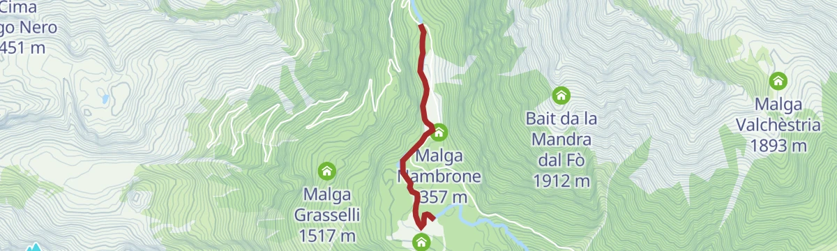
A flat riverside stretch on the Sarca di Nambrone in Val Nambrone above Pinzolo.
- 1.6 km
- Distance
- 0 m
- Ascent
- 24 min
- Duration
- 28
- Check-ins
Open route Trentino FishingValina d'Amola - Rifugio Segantini - Cornisello
A route up the Val d'Amola to the Segantini hut and across to the Cornisello lakes below the Presanella.
- 9.4 km
- Distance
- 560 m
- Ascent
- 3 h 52 min
- Duration
- 122
- Check-ins
- Croz del Sass 2 328 m
- Rifugio Segantini 2 373 m
- Rifugio Cornisello 2 120 m
- Malga Valina d'Amola 2 008 m
- Bocchetta de l'Om 2 353 m
- Vecchia funivia Enel 2 163 m
- +1
Open route APT Madonna di Campiglio, Pinzolo, Val RendenaTrek ring to Cornisello – Amola
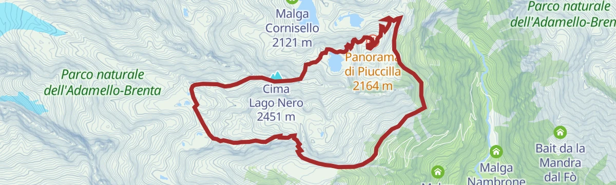
A circuit below the east walls of Cima Cornisello, Monte Nero and the Presanella, past the Cornisello lakes, Lago Nero and the Segantini tarns.
- 13.3 km
- Distance
- 1 085 m
- Ascent
- 6 h 57 min
- Duration
- 122
- Check-ins
- Croz del Sass 2 328 m
- Rifugio Segantini 2 373 m
- Rifugio Cornisello 2 120 m
- Malga Valina d'Amola 2 008 m
- Bocchetta de l'Om 2 353 m
- Vecchia funivia Enel 2 163 m
- +2
Open route APT Madonna di Campiglio, Pinzolo, Val RendenaPinzolo - Madonna di Campiglio - Campo Carlo Magno
A road climb finishing where the Giro d'Italia has ended a stage, its last five kilometres uphill to the pass at the head of the valley.
- 15.2 km
- Distance
- 932 m
- Ascent
- 1 h 55 min
- Duration
- 165
- Check-ins
- Falesia Fontanella 1 384 m
- Fortini 1 629 m
- LAB Après-Ski 1 632 m
- Laghetto Conca Verde 1 496 m
- Passo Campo Carlo Magno 1 682 m
- La Cantina di Suisse 1 506 m
- +5
Open route APT Madonna di Campiglio, Pinzolo, Val RendenaLaghi Cornisello V
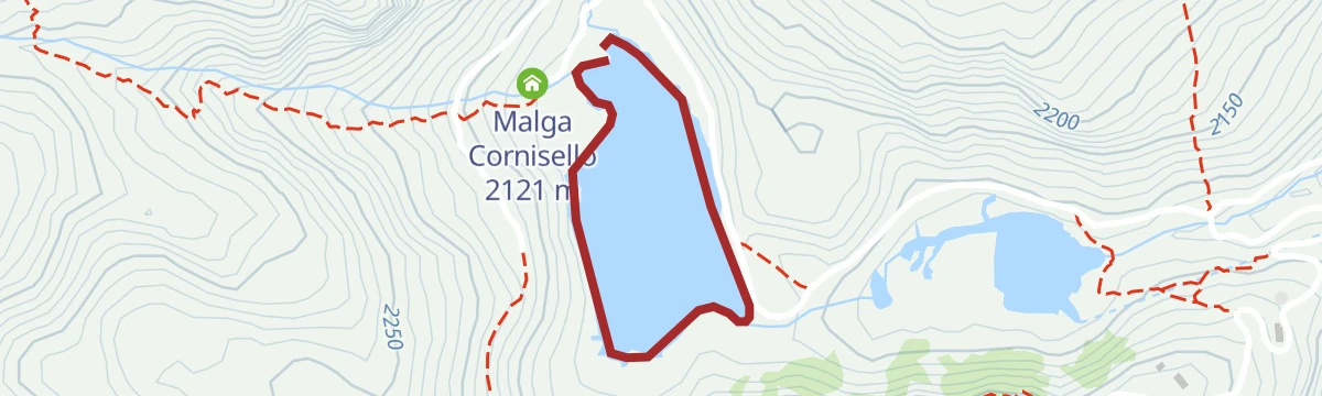
A short level walk around the Cornisello lakes in Val Nambrone, dammed tarns below the Presanella.
- 1.3 km
- Distance
- 0 m
- Ascent
- 18 min
- Duration
- 16
- Check-ins
Open route Trentino FishingCanavacia waterfall and Cornisello Lake
A steep climb through the granite of the Adamello-Presanella past the Canavacia waterfall to the Cornisello lake, facing the Brenta across the valley.
- 12.4 km
- Distance
- 853 m
- Ascent
- 5 h 42 min
- Duration
- 67
- Check-ins
- Rifugio Cornisello 2 120 m
- Lago di Cornisello Inferiore 2 087 m
- Malga Cornisello 2 121 m
- Vecchia funivia Enel 2 163 m
- Malga Ploze 2 041 m
Open route APT Madonna di Campiglio, Pinzolo, Val RendenaFiume Sarca di Campiglio da origini a confluenza Sarca di Val Genova C
A route following the Sarca di Campiglio from its headwaters down to the point where it joins the Sarca di Val Genova.
- 14.5 km
- Distance
- 1 003 m
- Ascent
- 4 h 57 min
- Duration
- 60
- Check-ins
Villages and waterfalls
A very long road tour from Andalo past the lake at Molveno into the Val Genova, where the waterfalls are, and back over the Sella di Andalo.
- 112.2 km
- Distance
- 2 787 m
- Ascent
- 12 h 35 min
- Duration
- 79
- Check-ins
- Fontanella 845 m
- Val Genova information point 905 m
- Lago Park Hotel 826 m
- Grand Hotel Molveno 838 m
- Sella di Andalo 1 042 m
- APT Dolomiti Paganella 1 021 m
- +4
Open route APT Dolomiti di Brenta e PaganellaSarca di Valgenova G1
An easy riverside walk into the Val Genova from Carisolo, passing the valley information point and the campsite.
- 3.3 km
- Distance
- 151 m
- Ascent
- 1 h 1 min
- Duration
- 12
- Check-ins
Open route Trentino FishingVal Nambrone - La Via delle Valli
A stage of the Via delle Valli up Val Nambrone to the Cornisello lakes at just over 2,000 m, tapped for hydropower in the 1960s, facing the Brenta Dolomites.
- 7.5 km
- Distance
- 567 m
- Ascent
- 3 h 42 min
- Duration
- 56
- Check-ins
Open route APT Madonna di Campiglio, Pinzolo, Val RendenaCornisello lake tour n°979
A long route from Sant'Antonio di Mavignola into Val Nambrone and up to the Cornisello lakes, on a road laid in the 1950s for a dam that was never built.
- 28.2 km
- Distance
- 1 316 m
- Ascent
- 9 h 52 min
- Duration
- 46
- Check-ins
- Lago di Cornisello Inferiore 2 087 m
- Malga Cornisello 2 121 m
- Rifugio Nambrone 1 350 m
- Malga Nambrone 1 357 m
- Masuncla 1 163 m
Open route APT Madonna di Campiglio, Pinzolo, Val RendenaMedium Route - Top Dolomites Gran Fondo
The shorter of the granfondo road courses, running from Pinzolo over the Passo del Durone and finishing with the climb to Madonna di Campiglio.
- 83.5 km
- Distance
- 2 519 m
- Ascent
- 9 h 31 min
- Duration
- 45
- Check-ins
- Falesia Fontanella 1 384 m
- La Cantina di Suisse 1 506 m
- Panorama Hotel Fontanella 1 434 m
- Bar Ristorante Passo Durone 995 m
- Passo del Durone 1 010 m
- Chiesetta degli alpini 1 029 m
- +3
Open route APT Madonna di Campiglio, Pinzolo, Val RendenaTorrente Sarca di Nambrone e affluenti E
A very short flat stretch beside the Sarca di Nambrone, on the valley floor above Carisolo.
- 428 m
- Distance
- 0 m
- Ascent
- 7 min
- Duration
- 12
- Check-ins
Open route Trentino FishingSarca di Val Genova basso G1
A route along the lower Sarca di Val Genova, the glacier-fed river running down from the Adamello.
- 8.2 km
- Distance
- 341 m
- Ascent
- 2 h 27 min
- Duration
- 34
- Check-ins
- Val Genova information point 905 m
- Chalet da Gino 934 m
- Fontana Bona 1 094 m
- Albergo Cascata di Nardis 925 m
Open route Trentino FishingVal Genova warterfalls tour
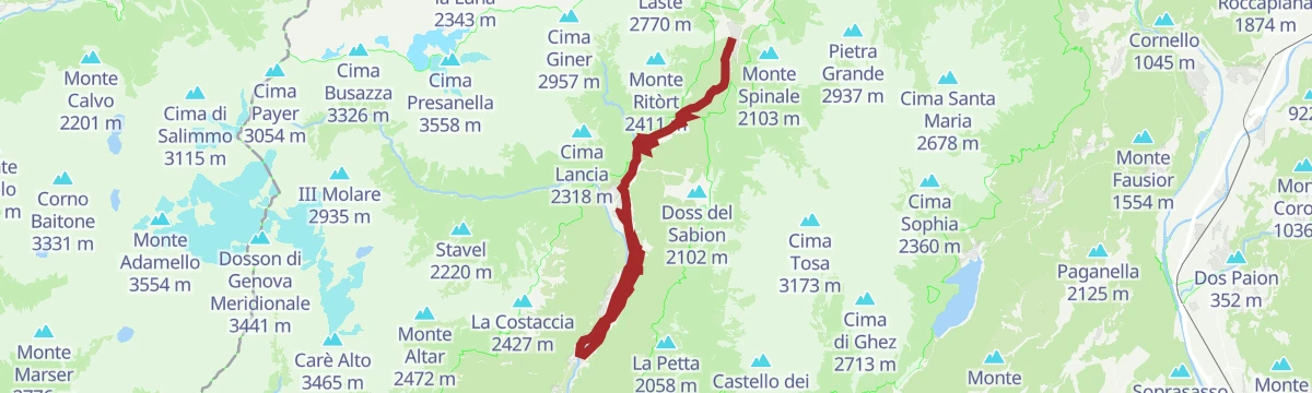
A long walk up the Val Genova from the old glassworks, following the Sarca on bridges and boardwalks past the Nardis falls and the other cascades.
- 29.5 km
- Distance
- 1 007 m
- Ascent
- 9 h 26 min
- Duration
- 39
- Check-ins
- Val Genova information point 905 m
- Chalet da Gino 934 m
- Fontana Bona 1 094 m
- Malga Genova 1 119 m
- Albergo Cascata di Nardis 925 m
Open route APT Madonna di Campiglio, Pinzolo, Val RendenaShort Route - Top Dolomites Gran Fondo
The short course of a road race that starts in Pinzolo and finishes up at Madonna di Campiglio, under the Brenta Dolomites.
- 29.0 km
- Distance
- 1 038 m
- Ascent
- 3 h 18 min
- Duration
- 14
- Check-ins
Open route APT Madonna di Campiglio, Pinzolo, Val RendenaLago Nero X
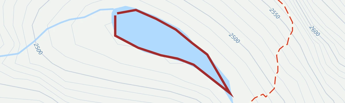
A short walk at the Lago Nero, a dark tarn on the high ground above Val Nambrone.
- 675 m
- Distance
- 0 m
- Ascent
- 9 min
- Duration
- 9
- Check-ins
Open route Trentino FishingTrek to Nambrone restaurant – Amola waterfall
A steep start and then easier ground to the Amola waterfall above the Nambrone inn; the short AmolAcqua loop at the bottom takes prams and wheelchairs.
- 6.1 km
- Distance
- 382 m
- Ascent
- 2 h 36 min
- Duration
- 20
- Check-ins
Open route APT Madonna di Campiglio, Pinzolo, Val RendenaCima Scarpacò
A long exploratory route among granite spires and high tarns to Cima Scarpacò, largely unmarked and rarely visited; the summit book dates from 1952.
- 28.0 km
- Distance
- 2 370 m
- Ascent
- 16 h 17 min
- Duration
- 33
- Check-ins
- Cima Scarpacò 3 255 m
- Corno de la Nòna 2 352 m
- Anticima Est di Scarpacò 3 234 m
- Lago di Cornisello Inferiore 2 087 m
- Malga Cornisello 2 121 m
- Passo delle Marmotte 2 889 m
- +11
Open route APT Madonna di Campiglio, Pinzolo, Val RendenaLago Scarpacò X
A short stretch at the Lago Scarpacò, a tarn among granite slabs high above Val Nambrone.
- 489 m
- Distance
- 0 m
- Ascent
- 7 min
- Duration
- 2
- Check-ins
Val Genova and Nardis waterfalls: nature & culture
An easy circuit from the Madonna del Potere sanctuary past the old glassworks to the Nardis falls, returning by the Sarca to the church of Santo Stefano on its granite bluff.
- 7.4 km
- Distance
- 207 m
- Ascent
- 2 h 15 min
- Duration
- 17
- Check-ins
Open route APT Madonna di Campiglio, Pinzolo, Val RendenaTorrente Sarca di Nambrone E
A steep route following the Sarca di Nambrone up its valley towards the granite of the Presanella.
- 7.5 km
- Distance
- 1 217 m
- Ascent
- 4 h 40 min
- Duration
- 24
- Check-ins
Open route Trentino FishingLago Vedretta X
A short walk by the Lago Vedretta, a glacier-fed tarn in the Presanella basins above Val Nambrone.
- 1.6 km
- Distance
- 13 m
- Ascent
- 24 min
- Duration
- 2
- Check-ins
- Lago Vedretta 2 613 m
Val Nardis - La Via delle Valli
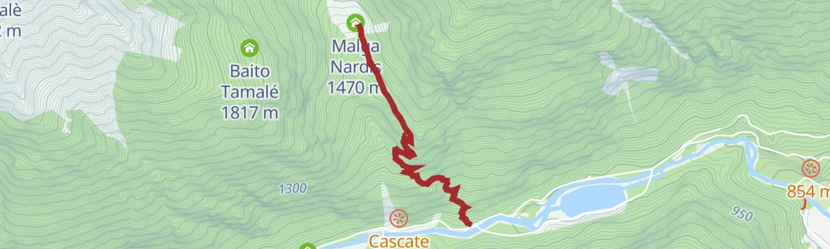
A climb from Ponte Verde into the narrow Val Nardis on trail 210, an old grazing valley above Val Genova that sees few walkers.
- 4.8 km
- Distance
- 558 m
- Ascent
- 3 h 20 min
- Duration
- 13
- Check-ins
Open route APT Madonna di Campiglio, Pinzolo, Val RendenaCima Lancia - Presanella Group
An ascent of Cima Lancia in the Presanella group, straightforward apart from the steep grass ridge at the top, with a long circular return.
- 17.1 km
- Distance
- 1 495 m
- Ascent
- 9 h 27 min
- Duration
- 14
- Check-ins
- Cima Lancia 2 318 m
- Corno de la Nòna 2 352 m
- Malga Amola 1 349 m
- Malga Amola 1 354 m
- Bivacco Massimo Nella 2 068 m
- Malga Geridol 1 717 m
- +6
Open route APT Madonna di Campiglio, Pinzolo, Val RendenaRio San Martino G2
A flat streamside stretch along the Rio San Martino below Carisolo in the Val Rendena.
- 2.0 km
- Distance
- 0 m
- Ascent
- 2 h 18 min
- Duration
- 1
- Check-ins
Open route Trentino FishingSan Martino hermitage tour
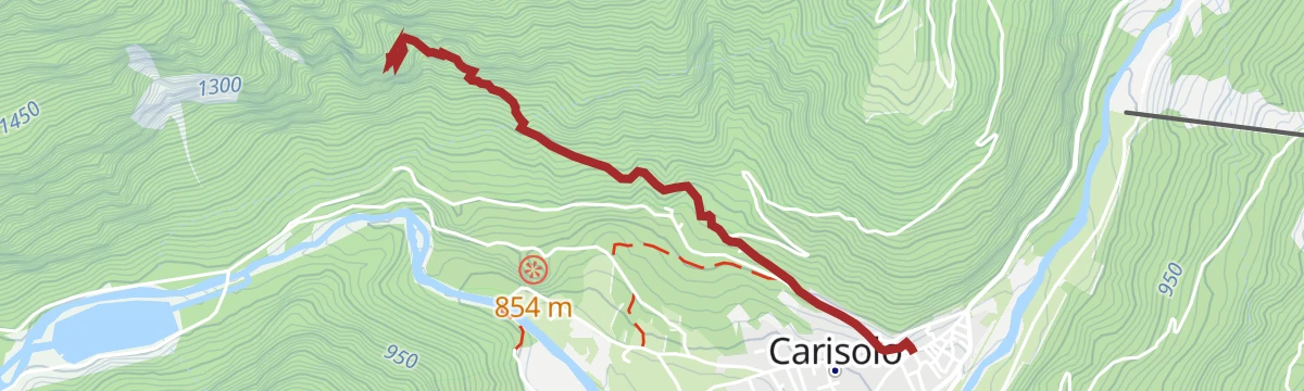
A steep climb on trail 228 to the San Martino hermitage above Carisolo, with a steel cable fitted on the last section.
- 4.6 km
- Distance
- 600 m
- Ascent
- 3 h 31 min
- Duration
Open route APT Madonna di Campiglio, Pinzolo, Val RendenaLancia Peak from Malga Geridolo - Sarodolo
The gentler approach to Cima Lancia from Malga Geridolo, mostly on tracks, with the Brenta limestone on one side and the Adamello glaciers on the other.
- 10.0 km
- Distance
- 1 026 m
- Ascent
- 6 h 15 min
- Duration
- 4
- Check-ins
- Cima Lancia 2 318 m
- Bivacco Massimo Nella 2 068 m
- Malga Geridol 1 717 m
- Malga Sarodül 1 955 m
- Malga dal Plan da l'Àsan 2 075 m
Open route APT Madonna di Campiglio, Pinzolo, Val RendenaCarisolo - Historic Center
A walk round the older parts of Carisolo, taking in the village's churches, lanes and river frontage.
- 3.5 km
- Distance
- 90 m
- Ascent
- 1 h 3 min
- Duration
Open route APT Madonna di Campiglio, Pinzolo, Val RendenaCastagneto Dolomiti Natural Wellness - wellbeing itinerary in Carisolo
A short loop in the chestnut wood at Carisolo, one of the Natural Wellness routes with marked spots for barefoot walking, water treading and breathing exercises.
- 1.8 km
- Distance
- 73 m
- Ascent
- 36 min
- Duration
Open route APT Madonna di Campiglio, Pinzolo, Val RendenaFiume Sarca PP5
A brief riverside stretch along the Sarca at Carisolo, on the floor of the Val Rendena.
- 750 m
- Distance
- 37 m
- Ascent
- 14 min
- Duration
Fiume Sarca PP6
A very short, level stretch beside the Sarca at Carisolo, at the mouth of the Val Genova.
- 448 m
- Distance
- 0 m
- Ascent
- 8 min
- Duration
Plazola
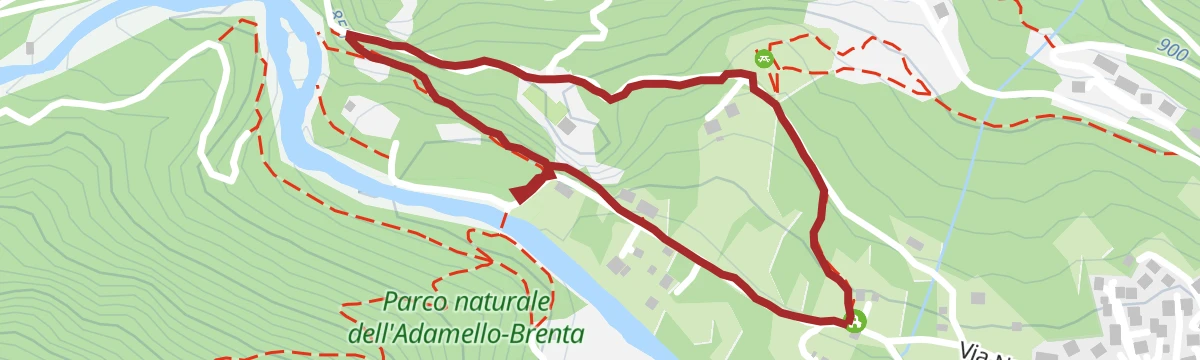
A loop above Carisolo on old mule tracks and village lanes, in and out of the woods at Plazola.
- 4.3 km
- Distance
- 240 m
- Ascent
- 1 h 43 min
- Duration
Open route APT Madonna di Campiglio, Pinzolo, Val RendenaSan Vigilio and Piana Verde
A flat walk out to San Vigilio, the church that carries a painted dance of death on its outer wall, returning by the sports fields on the river flat.
- 2.5 km
- Distance
- 31 m
- Ascent
- 40 min
- Duration
Open route APT Madonna di Campiglio, Pinzolo, Val RendenaSanto Stefano – Old Glassworks
A short family climb on a cobbled causeway to the three crosses at the church of Santo Stefano, with the old glassworks below.
- 1.9 km
- Distance
- 64 m
- Ascent
- 36 min
- Duration
Open route APT Madonna di Campiglio, Pinzolo, Val RendenaSarca di Valgenova PP9
A short flat stretch beside the Sarca where it leaves the Val Genova above Carisolo.
- 676 m
- Distance
- 0 m
- Ascent
- 9 min
- Duration
Open route Trentino Fishing
















No routes of this kind in Carisolo yet.
The region's own picks
Featured route
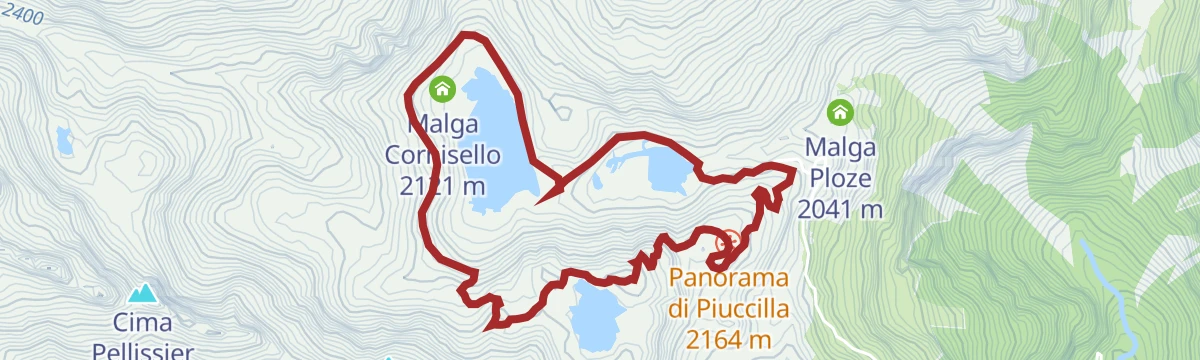
Longevity Trail - Val Nambrone
A short link in the Val Nambrone from the Rifugio Cornisello to the Lago Nero, among high pastures and glacier-worn rock in the Adamello-Brenta park.
Planning a trip to Carisolo?
Everything else Trentino-Alto Adige/Südtirol has, in one place


Take Carisolo with you into the mountains
Every route on this page with 3D terrain, GPX navigation and offline maps — including the valleys with no signal.
Data sources
- Official website: campigliodolomiti.it ↗
- Routes and highlights: APT Madonna di Campiglio, Pinzolo, Val Rendena, Trentino Fishing, Visit Trentino, Astrotourism, APT Dolomiti di Brenta e Paganella
- Published as open data by the tourist boards named above.
- Region summary generated from the board's own material.
