




![Route map: Trejer Alm (Äußere Michlreis Alm) [alpine hut]](https://peakvisor.com/tiles/styles/peaksummer-jpg/static/auto/600x180@2x.webp?path=enc:ael}Gg}sgA`A[DCB?BACEEKOe@I]EUKKIKk@a@e@WCGCECEDCFAL@`@JVDP?PCJGHMH[D[B[@[AUCUGOGOGYEe@Gw@Cg@EOEMGIGOAQAc@Ae@Ag@A]@[@WD_@Fe@Nw@FUH_@BY@Q?M@i@@[D[Da@Di@?]?MAKGOS]i@o@s@s@i@g@W]KQGQAM?U?]?U?[AO@QBKFOJKPMHEFMHQH]HWFILKZUf@_@f@_@t@m@t@m@t@k@b@Wh@WVOVORQRUJMHELAZ@b@BPBHDHFJPN\Vb@LXHTDNHTT^JVBFBHBF&padding=0.12&stroke=brown&width=4)
![Route map: Panoramic route Trejer Alm (Äußere Michlreis Alm) [alpine hut] – Sonnklar Nock [hillock]](https://peakvisor.com/tiles/styles/peaksummer-jpg/static/auto/600x180@2x.webp?path=enc:cel}Ge}sgA~BUhAuBnAsDu@sAc@kEmAgDR}Dy@aAMcAT{DgAuCaCkCKuCt@mAvAaCdCmBjByAdB_AjAeAvAA`A`A~@xBp@xAjBxCxCR`CK~@}@dDi@lAw@p@yBh@yDl@oA`@c@Nu@?_Af@}@BcEe@u@aAe@o@[w@aAe@q@`@Ca@k@DY}@kABkBt@wA~BgAvAcA|@_@`Ea@|A{AhA_@tAAtFgBtCv@InBWv@sAS~@jC]dA_@`AGjBi@R[dBl@l@zAnB?z@Nh@JzAx@tB^tB@bFGlBd@tCEbBPh@CpCFnCIbCE`Bo@vAcA|D{BtCw@j@gAp@sA~Bz@rDRhBSdD_@nBSxCSxASfGX~EVdEgAdDg@dBK`@_@rAm@bC[dBs@aCQgH@cBg@Uk@fBo@yAoAsCiAe@_A|Cc@vDKv@{@p@}CEk@N}Aw@sAvED|@DjB]t@}AmFSkCEmCSo@w@qA_@g@]kB[mAu@aEBkB]oCgBuAyAKeDz@kAzBs@n@_@qAkAsBDuC&padding=0.12&stroke=brown&width=4)
![Route map: Daimerweg [trail] – Kellerbauerweg [trail] – Nevesjoch / Chemnitzerhütte [alpine hut]](https://peakvisor.com/tiles/styles/peaksummer-jpg/static/auto/600x180@2x.webp?path=enc:{dl}Gi}sgAb@G`@hFrApB~BkDjFaAxCvFjBfNzB`HjAbHx@t@vAiKzAd@nEFv@cA^uEpBkC|C|G`BaCIjKzCcD`AbFCbHLvGwBpNoChLaDhKOzL[pOuDbGAhOdJ~^vErJc@nD]nDxAhMzBdH`AdGuBfCuBfBmAtC_B`@s@pDmAfHd@tQkC`C_BjCrBfJl@tHbBtJCjGbA|EpBdCAlIz@tKcB`G|CrFKxI{FbV]dJuE|EwIk@i@rI{C`HcEAeCn@]b@o@aAeDeDyEgBmC~A{BhHwDlCmGeEiGKgEfD}DkByFyGu@bC{B~H_BpIsBrDkDfHyCpDgAbBeH_LsDiAeBcCy@gHiA{BmKoGwCQc@hIcBdEgCjBwApC{D_ByGcAcCxDL|HuAx@{D?mCdMaCpFyCDgHqY{A`@iC|MJlDcBxPWdDoFdL_AxHSfHyB`K{@~HwAtEiAjCZhAVfKrBnQNrQ^hUDdLa@vAYhB]JAbApBvAbDxEfCbGX~BSrAE~FrAtA`Bf@_AnBf@lB_ApB}@n@j@pFbBfDhAxBdF}D&padding=0.12&stroke=brown&width=4)


![Route map: Kleiner Nock [hillock]](https://peakvisor.com/tiles/styles/peaksummer-jpg/static/auto/600x180@2x.webp?path=enc:eel}Ge}sgA`AQMHGLAf@Bf@Hr@Nr@Jh@RJZHHZNr@K\[NSDWFOKANBVUKQGOAQEOIQCIFMTOPON@XHXF^H^Hd@D`@Dd@Bb@D^H\D^@b@Cf@Q\YXOZKd@SFSEIJEP@VORSBOJODMJCTILUGO?IA@PBVAR?RI@OOKIKMOMQOMIQI]WWQKDATGCO_@O]MQMQSGO?IJM@KKKUQQUCOF@RBRKNGPA\B`@DVEVQCQIKe@EWI_@IYKUWOSW[WQWOUOS[We@WWEg@Oe@Y]SUMMK&padding=0.12&stroke=brown&width=4)


![Route map: Daimerweg [trail] – Sand in Taufers](https://peakvisor.com/tiles/styles/peaksummer-jpg/static/auto/600x180@2x.webp?path=enc:_el}Gg}sgAhBA|@aBhAqB`@oBo@y@EkCqA_DWg@@aEJsAy@c@Bu@s@Mc@_@IsAs@sAYi@{A_Am@i@c@{@gAaBiAgBOu@Mi@Se@G}@VEx@W\Sn@qAXe@Rg@Rq@TiALy@VsBZsBb@yBbA_ERu@\kABo@NmC^wAxAw@`@c@|@y@Eu@KmAEe@CaAb@sBW_B^iDM_D@_ARiCNuA?a@YPOM?w@NsB@y@EaARy@h@u@l@_By@Po@b@g@Pu@~@k@`@XmA\qBa@FiAhBJo@OQSAFe@D]Bu@SLGy@}@fAMNNaBn@eCXiBb@eBd@m@`@_@MeAXmBKc@JYv@mAt@}@~@gAR_@rAcBLc@[Gg@?eA^r@}@p@mAbAcB}@Hc@J\aBh@w@Ao@_@KVq@Bo@w@Zb@iAN_@u@Jy@l@_Ax@Au@Pa@OIgAx@i@V@c@Xm@j@uAj@qAT}@RmAC}@We@o@OOWWWOa@k@g@PiBDq@By@Ck@PuBA{@NUHy@BaBLq@Z}@E}@FkATgAViB@_@CS|ANr@Sv@c@dAYl@cAf@cCn@kBjA_Ch@yBDkB&padding=0.12&stroke=brown&width=4)


![Route map: Hühnerspiel [yoke]](https://peakvisor.com/tiles/styles/peaksummer-jpg/static/auto/600x180@2x.webp?path=enc:eel}Ge}sgAbAWEJIBECCZ?\@VB`@F`@Jd@F`@FTJHNBRFHJDj@HVFBLERQd@kAt@iAdCu@bAK`@?^@n@Kd@Lt@YTKNKLILOHYBg@Gs@Ga@FER?\E@WDODMDO?OBKBICKIKGE@E@E@E@E?E@EBI?K@GBIDG@G?QFM@SEOCMFUB[D[FUBUD[DYBOJEJMFO?SDOFODKBK?KAGGCKGIGIEGGCK@EJCHCDEACIGEEBEDAAECGGIEGEGDEDCEECICGEEDCF@FE@CAGEGAICK?K@MDS?QAI&padding=0.12&stroke=brown&width=4)


![Route map: Daimerweg [trail] – Kellerbauerweg [trail] – Gorner Joch [yoke] – Weißenbach](https://peakvisor.com/tiles/styles/peaksummer-jpg/static/auto/600x180@2x.webp?path=enc:ydl}Gk}sgA`@E`@hFbAvAxAgAzD_CdBKhCpCExCbBfI|ApDl@xGtBpIP_FbB_FzAd@nEFv@cA[sBbBqFhABvC`Gj@gBz@@IjKbBMbAyCt@fFCbHLvGwAvDcBhLkAxHuBfGkAvL`BvQwDtAkBlFGlHdAnS`JxU|CtGqAlD`@tHbB~IpAdDl@xDHrEoBvAeBdAmAtC_B`@s@pDsAfFClHX|H@vD}CDq@nGnBnH|@~GnAlHCjGbA|E~AjBLfGa@rG~A`FcB`G|CrF[hGwItAkIgCg@rAr@NC|@mB\MZcCIqA}CaAEy@^[mAUaDeAiFuAyAg@rAcABu@PyAAeBnAmBWq@CsGwEiHs@yKaB_F{CK`DzAn@_@pBdAVo@dBGJ^gAm@aAZwBwBgD{D{GeHuFmC}AoDeAgEgDToCmDsCuDiDyFiCoBgE}BuHu@gJk@uICgEAmEE}ESiIWsBc@~B_@~Dq@`GeA|H[zC}@hFqApDE}FTgIMqFe@rAoBnI}@bA_Al@}@zDoCxEcAiAuBw@&padding=0.12&stroke=brown&width=4)


![Route map: Descent to Luttach via Schöllberg Alm [alpine hut]](https://peakvisor.com/tiles/styles/peaksummer-jpg/static/auto/600x180@2x.webp?path=enc:cel}Ge}sgAf@oCyBmBwAIKnDy@f@iA\}APmDaAgBiAyAYcCwA{@uAkBqBmCwCiAoBaBcBoB}CaAiEuB}BgBBwBbAiApAs@j@s@n@_AdBu@fAq@x@m@jAkAz@q@vBgAt@mAzAuAXuAq@_DeBcCC{APmAn@_AhCi@dA_@hAk@zBT|Aj@dB@rAW|@StALnBT~BNpB]kAo@sBy@_Dy@qB}@aDeAmDIwB]Fc@`C\nDVtBTpCd@~CWrCOrBZnEFpA{@gCu@oBWwB[wCa@cB{@}@oAo@kA_@kA_@}@_@cB_AS^v@dAr@lBHzB@tCKzAk@i@qAkC_@cCeAaAmAu@oAQe@m@VwAbAuBfA}D^wBr@_D`@qDp@cCd@mBf@wA~@wAlA_Bh@uAn@mAdB}B`A}BtAaCr@eB~@iBZwArAyAO_@gBp@_BnBwAhB{BxBoB`B_Cz@oAn@eBv@_BF{C|AcBjBk@zAg@~@cAb@uA`DoBh@_A|@}@H{@GsAp@{Bl@_@SjAmCx@kB\kAiE[uAdAeAn@g@tB_@~BAfB`@|CO|CMyAi@aC}@sBQkD?aEb@iCdAwEn@mDDwATyCfAoG|BkEhAwDzCmE?aEFkE`@gFfAwDdAaD&padding=0.12&stroke=brown&width=4)


![Route map: Daimerweg [trail] – Kellerbauerweg [trail] – Mühlwalder Jöchl [yoke] – Weizgruber Alm [alpine hut] – Mühlwald (Pietersteiner Alm [alpine hut]) – Mühlen in Taufers](https://peakvisor.com/tiles/styles/peaksummer-jpg/static/auto/600x180@2x.webp?path=enc:ydl}Gk}sgA`@E`@hF|@j@x@n@xCsDjCc@zA^pA~Cd@lGb@pBZlBrAvBz@zECvBjBvG\sB@gGbDCrAOvCa@d@aAb@wD~@}CnBpAz@xCt@S^b@Xh@x@xJ`AuCr@wBx@vESpADfHGbHgAvDsAvIkAxHuBfGkA|Iv@|IlA|G}CxBkBzCmArEF|DHrFbE}InFeE|DqBrAoAp@kFVaEGiHjB}@lCoCtAaDhA{A`EuAhFgCj@m@jC~@zC^z@c@~@uBF_CHiDz@qCLcBHuFWcD_B}JqBsGIsDu@sC_BeEw@cAPoExBcDq@}Bf@kEz@_ErB}Ah@uAhAuC@aJe@_DaA}CDJP{Et@f@b@Mz@eAj@Lf@|@hDdFdBqAFiBn@g@d@`AtABf@iBfAzBTX~ArDlFpEd@rBh@Fz@vB`DqIAqLHqChD_CaAcCU{@DeH[iCOyEX_@t@l@t@yGJa@`@Oj@a@lAiBOwHAeAnAb@pAdEnArB~AlAl@mGrBoFrAj@&padding=0.12&stroke=brown&width=4)


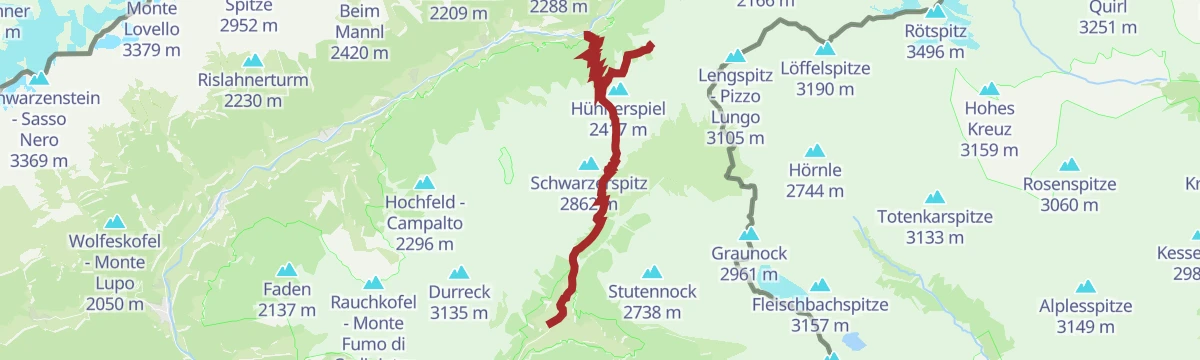

![Route map: Daimerweg [trail] – Kellerbauerweg [trail] – Mühlwalder Jöchl [yoke] – Mitterberg Alm [alpine hut] – Weißenbach](https://peakvisor.com/tiles/styles/peaksummer-jpg/static/auto/600x180@2x.webp?path=enc:ydl}Gk}sgA`@E`@hF|@j@d@`Ax@}ArBgBjCc@zA^pA~CGjBz@dEXlB\`Bl@dAv@pARn@DlCRjC|AlF\u@ImCJwDlB}@bA^fB^tBw@d@aAb@wD~@}CnBpAz@xCb@bAh@iCv@FUdHdAzFd@sCp@sC^Gj@hESpADfHXhCs@zDu@tC_@dGeAhDy@`FuBfGm@hD[pHtAbJ^xDoCxA_BxBwAjELfDCdGg@nBaA`AcBw@[n@_Ad@g@Nm@TBrAgBYk@Gs@h@gABOhAWVmAm@cCJcCm@cGyAuDt@cBBeAX}@WcBDqBZiBnCeABe@\@`AElAQpAd@x@j@x@Fd@Qr@iAjA_Ap@QrAqAd@aB~As@nAaBtAaApBcBjAmAnCaC`@aA@aBnA_AZoAlAu@x@eA`AsAh@}ApB]hAeBvAoCbCwAjA_Cf@_Ct@gAX_@\_BXeAa@yBYsAGc@Ck@@g@LqB{Ai@Pk@l@g@f@g@T}@oB]OQa@a@CwAkBImAyB}Cq@kA_@k@Im@eBgBuA}@wC{Ae@f@c@k@o@eA&padding=0.12&stroke=brown&width=4)


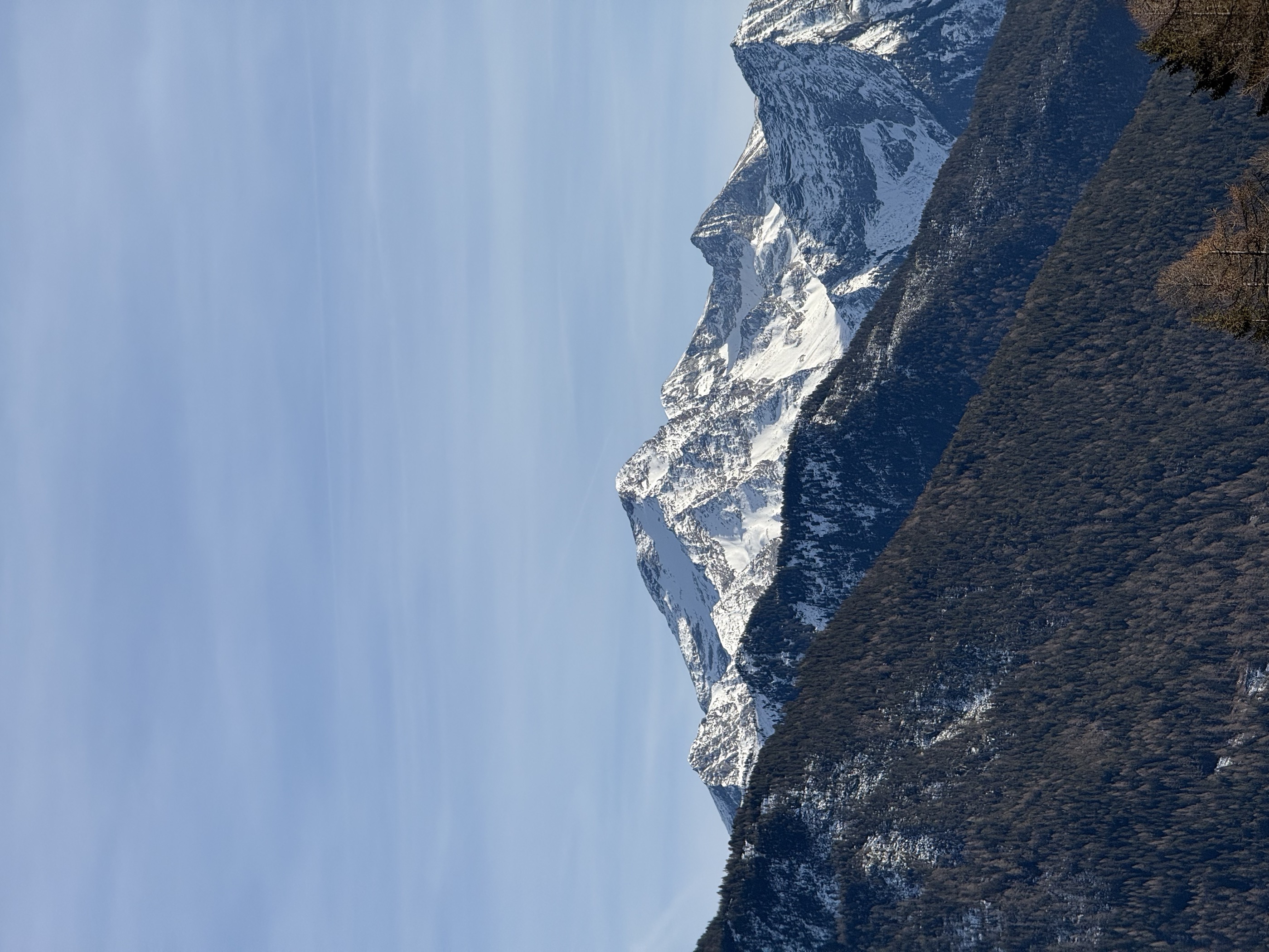
 Summit
Schneebiger Nock
via Crossing Schneebiger Nock (3358), Fernerköpfl (3249) to the Magerstein (3273)
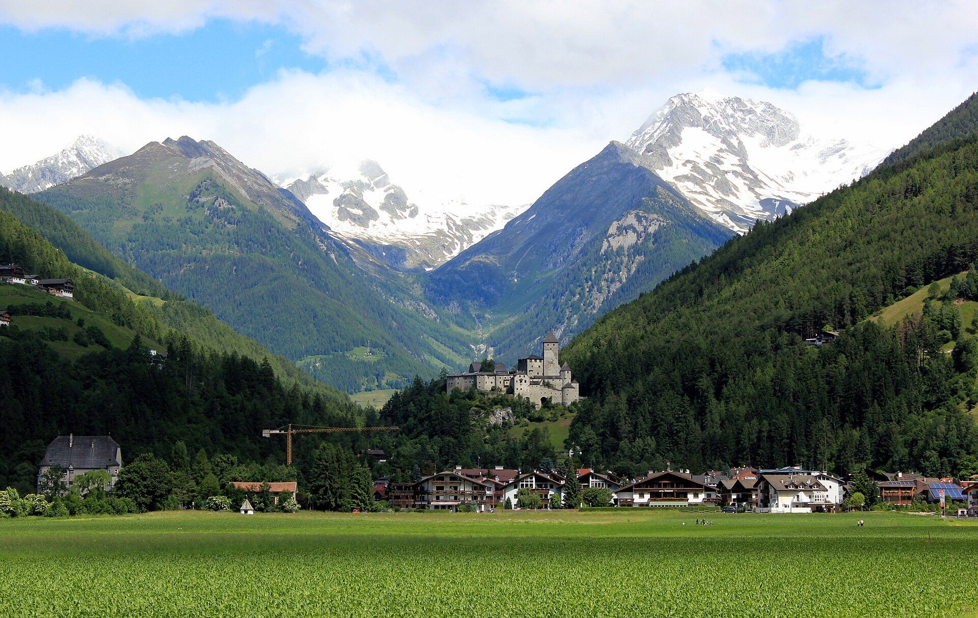
Curated by Sand in Taufers
The Valle Aurina's market town below Castel Taufers, at the mouth of the Riva valley under the Rieserferner peaks.
12 from neighbouring places
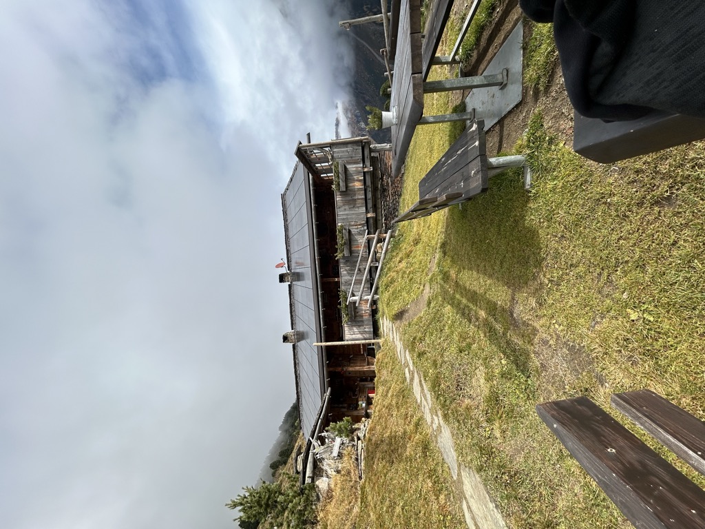
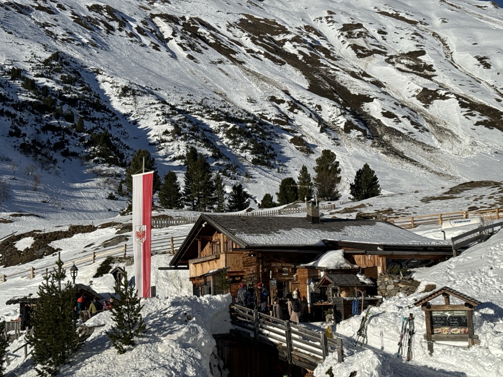
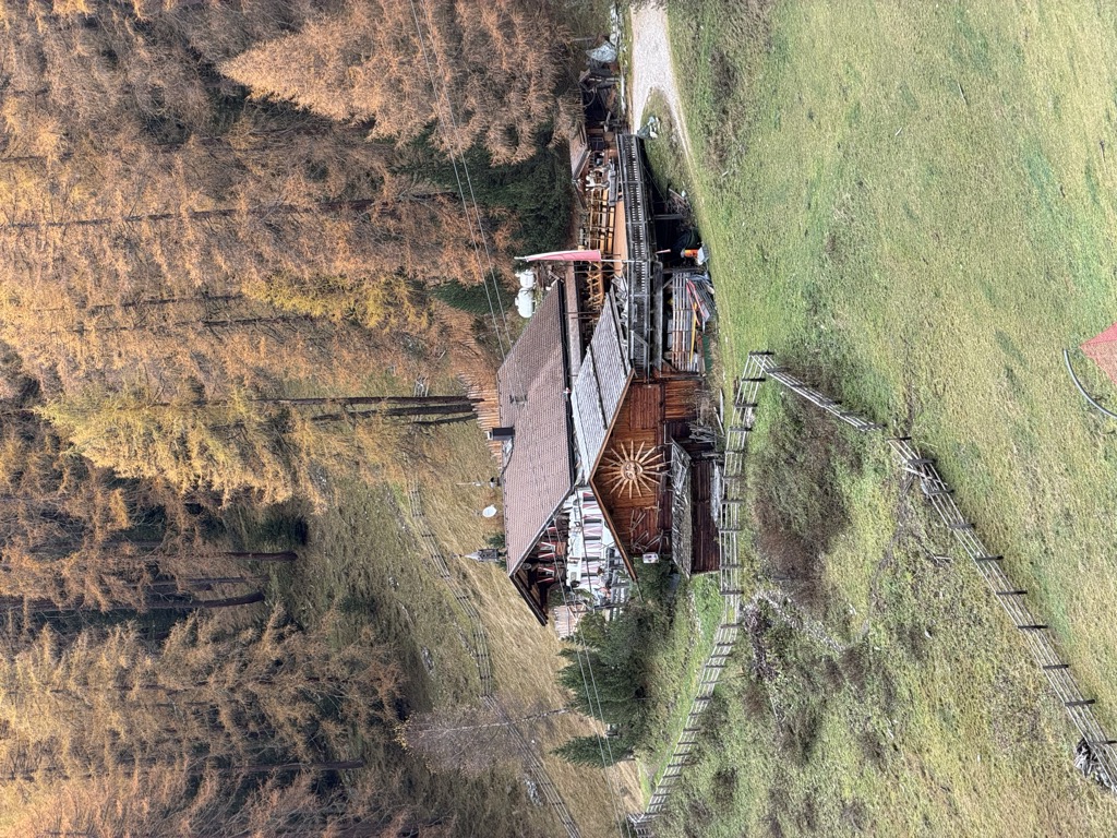
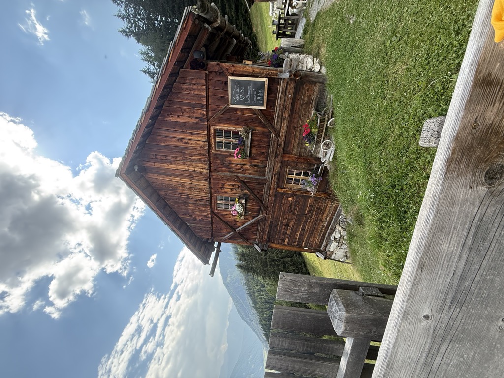
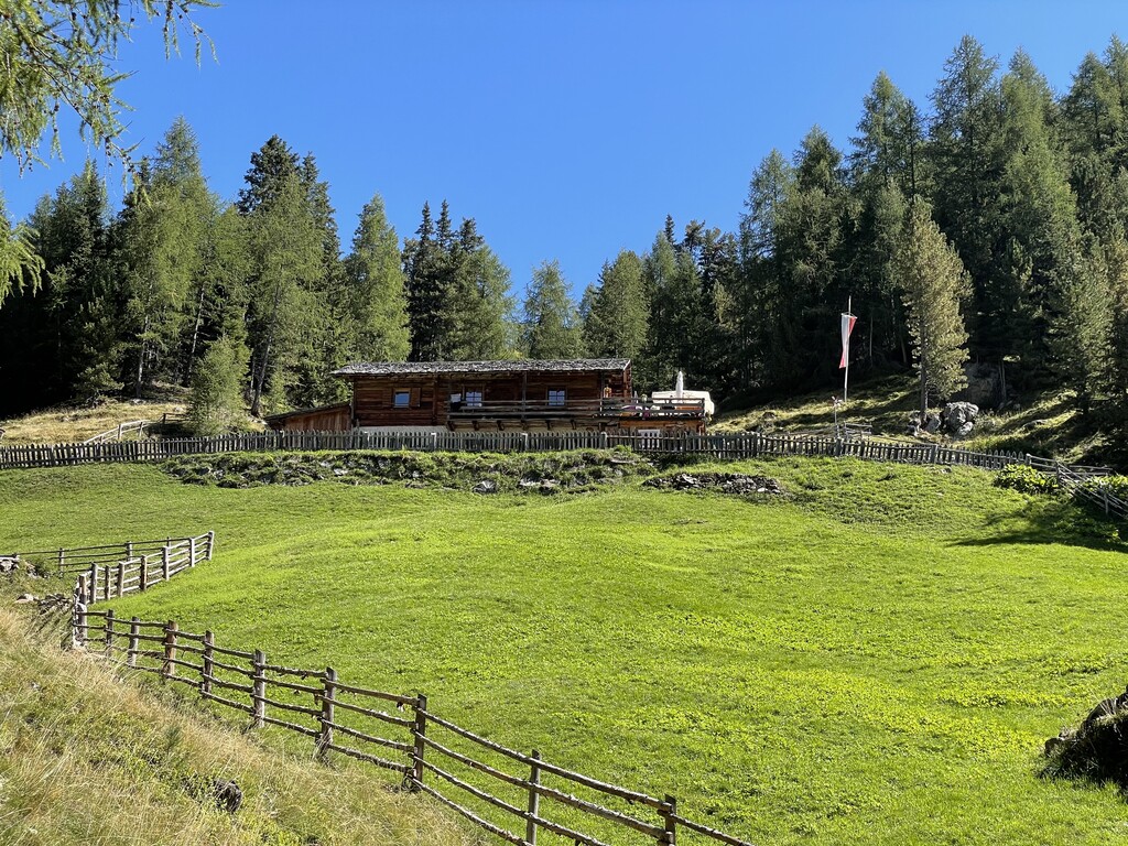
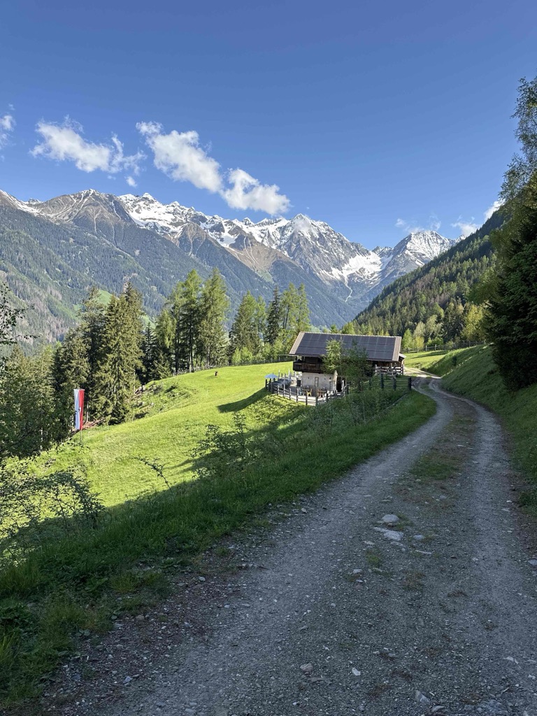
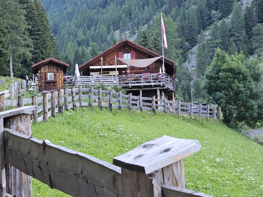
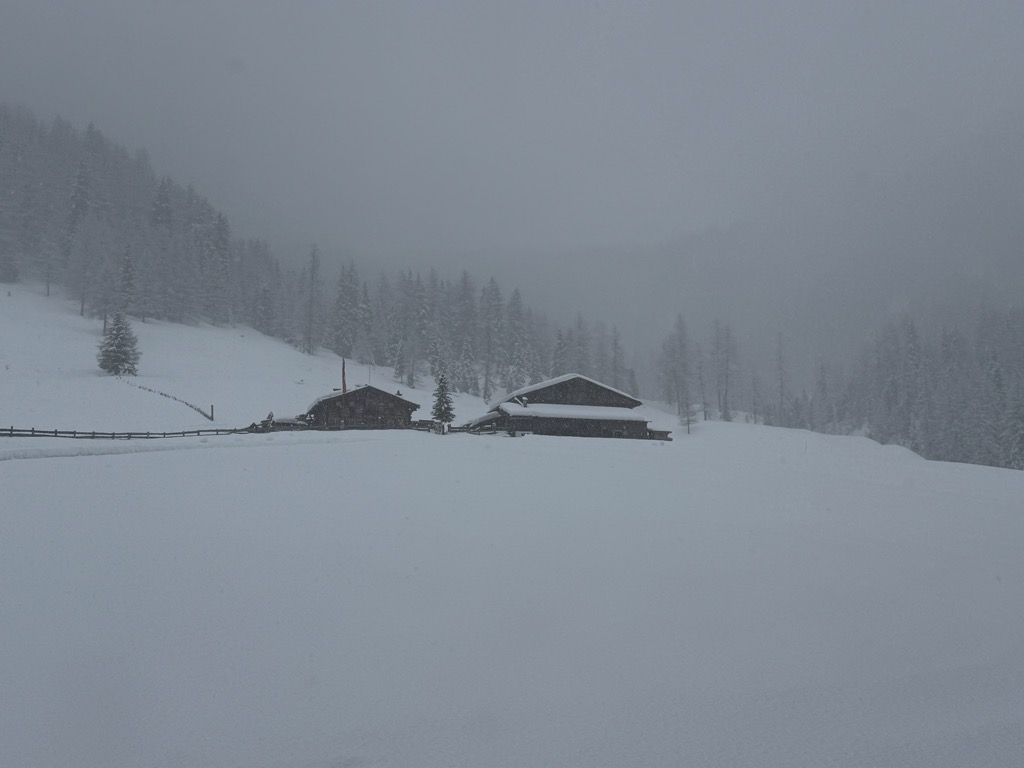
A dairy hut on the pastures above Campo Tures, in the mountains of the Valle Aurina.
A dairy hut in the Valle dei Dossi above Riva di Tures, reached by the valley track, with the Vedrette di Ries beyond.
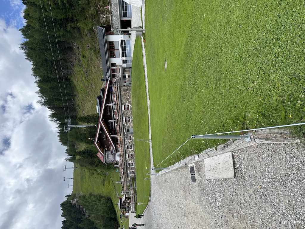
The mountain restaurants at Speikboden above Campo Tures, reached by cable car, at the start of the walks towards the Sonklarspitz ridge.
5.5 km away, in Valle Aurina/Ahrntal
A dairy hut on the Baurschaft pastures of the Valle Aurina, on the slopes that rise from the Ahr valley floor into the Zillertal Alps.
5.9 km away, in Valle Aurina/Ahrntal
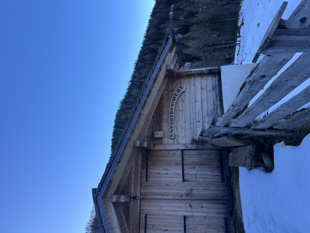
A dairy hut on the Unterberg pastures of the Valle Aurina, known by its Ladin-tinged local name as well as its German one.
5.9 km away, in Valle Aurina/Ahrntal
A small alm in the Valle Aurina named for the speck and schnapps it serves, on the pasture slopes above the Ahr valley.
6.6 km away, in Valle Aurina/Ahrntal
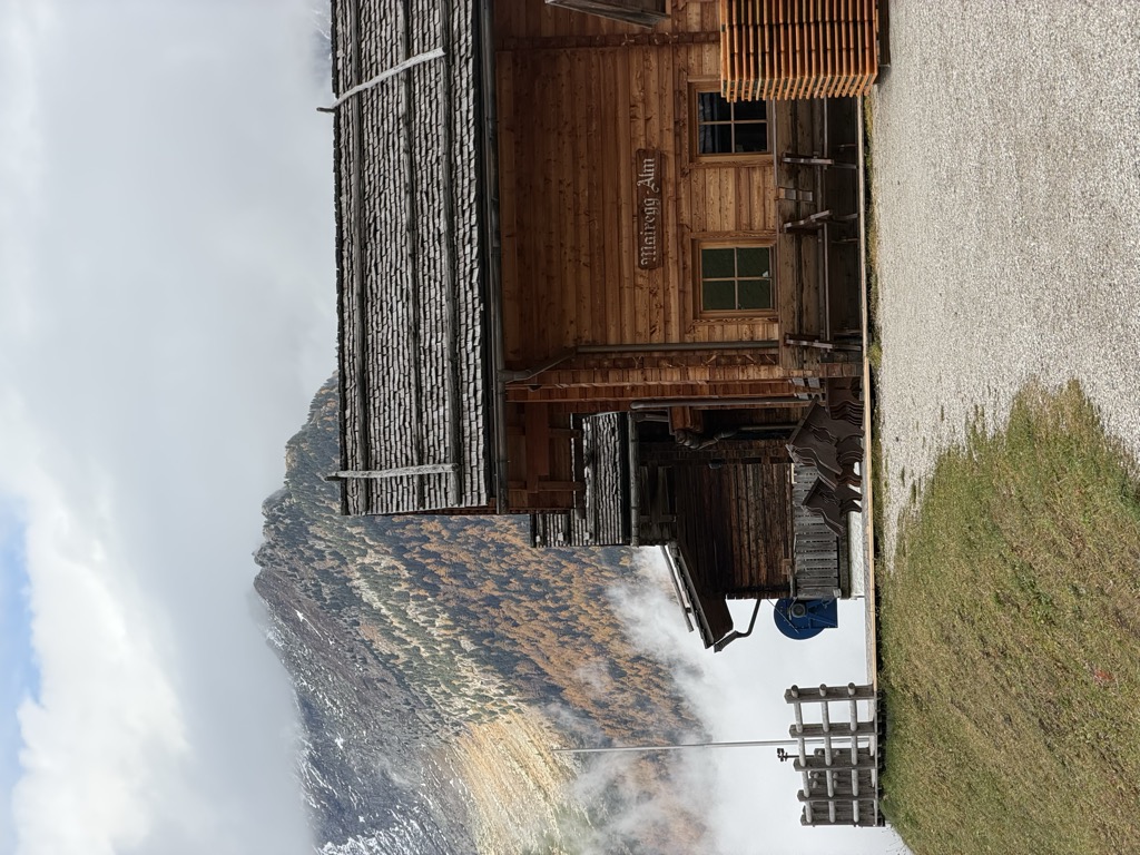
A dairy hut on the Moaregg pastures of the Valle Aurina, on the terraces between the valley farms and the high Zillertal pastures.
7.8 km away, in Valle Aurina/Ahrntal
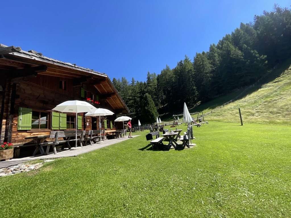
A farm dairy hut on the pastures of the Valle Aurina, above the string of hamlets along the Ahr valley floor.
9.5 km away, in Rasun-Anterselva/Rasen-Antholz
A pasture hut above Rasun, on the walking paths between the Anterselva valley and the Plan de Corones side.
9.8 km away, in Valle Aurina/Ahrntal
A dairy hut on the Holzerboeden pastures of the Valle Aurina, reached by forest track from the valley floor.
12.1 km away, in Rasun-Anterselva/Rasen-Antholz
A dairy hut at 1,894 m on the open pastures above Anterselva, reached by track from the valley floor.
12.3 km away, in Valle Aurina/Ahrntal
A small pasture hut in the Valle Aurina, on the mown slopes above the Ahr valley in the Zillertal Alps.
13.4 km away, in Rasun-Anterselva/Rasen-Antholz
A dairy hut at 1,300 m in the woods above Rasun, a short walk from the road up the Anterselva valley.
13.4 km away, in Valle Aurina/Ahrntal
A dairy hut on the pastures of the Valle Aurina, on the slopes above the Ahr valley in the Zillertal Alps.
14.6 km away, in Valle Aurina/Ahrntal
A farm-run dairy hut on the pastures of the Valle Aurina, on the sunny side of the Ahr valley below the Zillertal ridges.
Nothing of this kind in Campo Tures/Sand in Taufers.
50 routes, an even mix of activities · see the rest on suedtirol.info ↗
An easy grade B route for beginners on low rock bars, split in two by a walking path, with a stream to stop at partway.
 Bergrestaurant Speikboden 1 973 m Iglu Après-Ski 1 973 m
 Speikbodensee - Laghetto di Monte Spico 2 279 m
A protected line starting at the Speikboden gondola at 2,000 m, gaining some 350 m with the Ahrntal and the Zillertal Alps in view.
A grade B adventure route at Speikboden with rope and plank bridges and a summit cross, looking down the length of the Ahrntal.
A tiny pirate-themed practice route at Speikboden built for children aged six to twelve, with gear to hire at the top station.
A traverse on the Speikboden from the Hühnerspiel yoke past the Trejer Alm dairies.
Bergrestaurant Speikboden 1 973 m Iglu Après-Ski 1 973 m Restaurant Talstation 946 m Paulas Schirmpub 944 m Trejer-Alm - Malga Michele di Fuori 1 987 m Mittelstation (Michlreis) 1 367 mA circuit over the tops of the Speikboden ridge, facing the Zillertal Alps and the three-thousanders around the Ahrntal.
Speikboden - Monte Spico 2 518 m Sonnklar Nock 2 390 m Kleinerer Nock - Il Dosso Piccolo 2 227 m Seewassernock 2 507 m Großer Nock - Il Dosso Grande 2 400 m Sonnklarhütte 2 384 mA long high traverse on the Kellerbauerweg to the Tristensee tarn and the Chemnitzer hut at the Neves pass.
Zinsnock 2 435 m Wurmtaler Spitz - Giogo del Corno 2 343 m Chemnitzer Hütte - Rifugio Porro 2 420 m Bergrestaurant Speikboden 1 973 m Nevesjoch - Passo di Neves 2 407 m Iglu Après-Ski 1 973 m
A spring ski ascent of the Dreieckspitze at 3,031 m from Riva di Tures, in the Vedrette di Ries; snow and weather need checking first.
Dreieckspitze 3 031 m Untere Kofleralm 2 035 m Großer Koflersee 2 435 m Bärenluegscharte 2 848 m Ebner 1 658 mA climb on forest road from the Knuttenalm car park past the hut to the Klammljoch on the border.
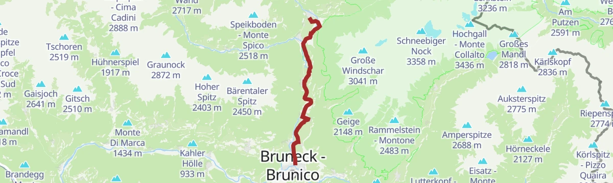
A steady valley climb up the Ahrntal from Campo Tures through Cadipietra to San Pietro, rideable in either direction or in parts.
Ahrntal Tourismus Information 959 m Talstube 1 049 m Feichterholz 956 m Restaurant Talstation 946 m Ski Haus Pub Steinhaus 1 050 m Hotel Sonnleiten 1 042 mA short, almost level walk to the Trejer Alm on the Speikboden above Campo Tures.
Bergrestaurant Speikboden 1 973 m Iglu Après-Ski 1 973 m Enzian Hütte 1 950 m Trejer-Alm - Malga Michele di Fuori 1 987 mA traverse from the Trejer Alm up to the Sonnklar Nock at about 2,400 m, open ground with the Zillertal Alps opposite.
Sonnklar Nock 2 390 m Sonnklarhütte 2 384 m Bergrestaurant Speikboden 1 973 m Iglu Après-Ski 1 973 m Trejer-Alm - Malga Michele di Fuori 1 987 m Speikbodensee - Laghetto di Monte Spico 2 279 mA long link on the Daimer and Kellerbauer paths across the Speikboden flank to the Neves pass and the Chemnitzer hut.
Zinsnock 2 435 m Fadner - Gallina 2 457 m Stoßkofel 2 474 m Wurmtaler Spitz - Giogo del Corno 2 343 m Chemnitzer Hütte - Rifugio Porro 2 420 m Bergrestaurant Speikboden 1 973 mA demanding spring ski tour in the Vedrette di Ries from the Riva valley, with an airy crest traverse before the summit and a long run back down.
Fernerköpfl 3 249 m Rieserfernerhütte - Rifugio Vedrette di Ries 2 792 m Feichter 1 537 m Putzer Alm 1 536 m Gelltalalm 2 067 mA forest-road climb from Acereto to the Unterrieseralm, then across the Lobiser Schupfen and Moosnalm on the way down to Riva di Tures.
A nearly level run from Antholz down the valley and up the Ahrntal, by Bad Salomonsbrunn to the Rainbach falls.
Hotel Bad Winkel 863 m Treff Ried 927 m Fischteich 1 115 m Bad Salomonsbrunn 1 099 m Weiher in der Aue 918 m Sportbar Percha 926 mA short, steep pull to the Kleiner Nock, one of the knolls on the Speikboden ridge above Campo Tures.
A shorter version of the Speikboden ridge round, over the Grosser Nock and the Seewassernock to the main top.
Speikboden - Monte Spico 2 518 m Seewassernock 2 507 m Großer Nock - Il Dosso Grande 2 400 m Bergrestaurant Speikboden 1 973 m Iglu Après-Ski 1 973 m Speikbodensee - Laghetto di Monte Spico 2 279 mA steep ascent on foot from the Speikboden valley station by path 29A to the Michlreis hamlet and up to the Sonnklar Nock.
Sonnklar Nock 2 390 m Sonnklarhütte 2 384 m Restaurant Talstation 946 m Paulas Schirmpub 944 m Trejer-Alm - Malga Michele di Fuori 1 987 m Trejersee - Laghette Trejer 2 039 mA long ski ascent of the Lenkstein at 3,236 m in the Vedrette di Ries; weather and avalanche conditions want checking before setting out.
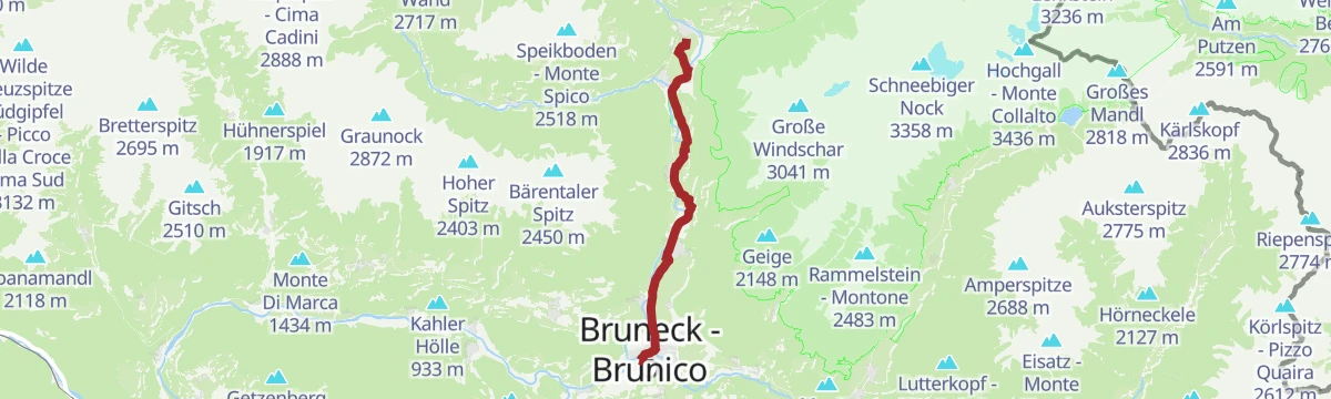
An almost flat run down the Tauferer valley from Campo Tures to Brunico, passing the Vierzehn-Nothelfer chapel on the way.
A level path on the Daimerweg leading back down to Campo Tures, contouring the foot of the Speikboden.
A short steep climb to the Sonnklar hut at 2,400 m on the Speikboden, open through the summer and again in winter.
A three-summit crossing in the Rieserferner-Ahrn park from the Kasseler hut, on ground left brittle by the retreating glaciers.
Magerstein 3 273 m Schneebiger Nock 3 358 m Fernerköpfl 3 249 m Frauenköpfl 3 251 m Kasseler Hütte 2 274 m Jausenstation Säge 1 586 mThe flat lower section of the Ahr valley cycle route, leading out of Brunico and up the valley towards Campo Tures.
A brief climb to the Hühnerspiel saddle on the Speikboden, reached from the cable car above Campo Tures.
A long sunny traverse on the Speikboden slopes above Campo Tures, linking pasture huts along the way.
Bergrestaurant Speikboden 1 973 m Iglu Après-Ski 1 973 m Enzian Hütte 1 950 m Weizgruber Alm 2 032 m Trejer-Alm - Malga Michele di Fuori 1 987 m Mühlwalder Jöchl - Giogo di Selva 2 342 mA long round up the Geltal to the Rieserferner hut, over the Fernerköpfl and across the glacier, down to the Kasseler hut; better split over two days.
Fernerköpfl 3 249 m Kasseler Hütte 2 274 m Rieserfernerhütte - Rifugio Vedrette di Ries 2 792 m Putzer Alm 1 536 m Gelltalalm 2 067 mA level valley walk at Rein, an old village ringed by the Rieserferner three-thousanders with the Hochgall at their head.
The direct climb to the top of the Speikboden, the home mountain above Campo Tures, named after the alpine valerian growing on it.
Speikboden - Monte Spico 2 518 m Bergrestaurant Speikboden 1 973 m Iglu Après-Ski 1 973 m Speikbodensee - Laghetto di Monte Spico 2 279 mA long walking ascent of the Lenkstein, whose summit looks over both the South and the East Tyrolean side of the range.
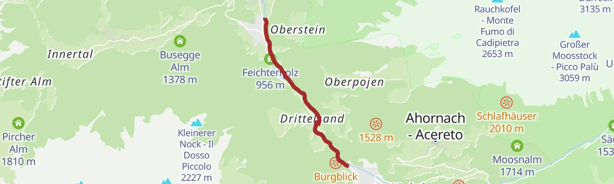
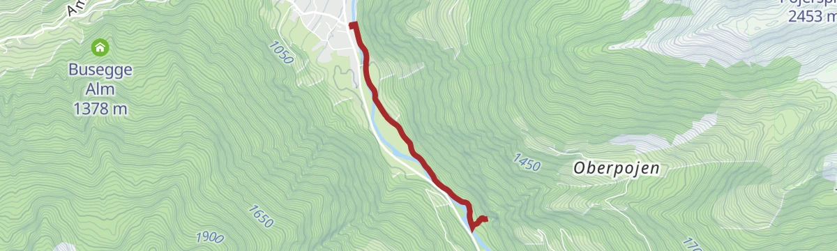
A riverside path along the Ahr from the bridge at Kematen up the valley to Oberluttach, level nearly the whole way.
A traverse on the Daimer and Kellerbauer paths over the Gorner Joch and down to Weissenbach in the Ahrntal.
Fadner - Gallina 2 457 m Stoßkofel 2 474 m Bergrestaurant Speikboden 1 973 m Iglu Après-Ski 1 973 m Pircher Alm 1 810 m Mühlwalder Jöchl - Giogo di Selva 2 342 mA high path cut in 1910 across the flanks above the Tauferer valley, long and steady with little shelter.
Kasseler Hütte 2 274 m Untere Kofleralm 2 035 m Ebner 1 658 m Ursprungsalm 2 396 m Obere Kofleralm 2 192 mA short valley walk to the Knuttenalm above Rein in Taufers, where the hut serves the local cooking.
A long descent from the Speikboden by the Michlreis farms down to Campo Tures on the valley floor.
Bergrestaurant Speikboden 1 973 m Iglu Après-Ski 1 973 m Enzian Hütte 1 950 m Restaurant Talstation 946 m Paulas Schirmpub 944 m Mittelstation (Michlreis) 1 367 mThe ordinary route to the Dreieckspitze, northernmost peak of the Rieserferner group, from Rein by the Barenluegscharte.
Dreieckspitze 3 031 m Knuttenalm – Malga Knutten 1 911 m Untere Kofleralm 2 035 m Großer Koflersee 2 435 m Bärenluegscharte 2 848 m Ebner 1 658 mA short walk to the Poja waterfall near Luttach, with cool spray, fresh air and light playing in the falling water.
A descent from the Speikboden by the Schöllberg Alm to Luttach in the Ahrntal, downhill throughout.
Bergrestaurant Speikboden 1 973 m Iglu Après-Ski 1 973 m Ahrntal Tourismus Information 959 m Enzian Hütte 1 950 mA long day from the Knutten car park at Rein, past the Knuttenalm to the Klammljoch, the old crossing into the Defereggen, and on to the Merbspitz.
Merbspitz 3 090 m Knuttenalm – Malga Knutten 1 911 m Klammljoch 2 288 m Klammlsee - Lago di Gola 2 240 m Affentalalm 2 189 mA short flat walk up the Bacher valley at Riva di Tures, inside the Rieserferner-Ahrn nature park.
A crossing over the Mühlwalder Jöchl by the Weizgruber and Pietersteiner alms, dropping into Mühlwald and down to Molini di Tures.
Bruggnspitze 1 040 m Bergrestaurant Speikboden 1 973 m Iglu Après-Ski 1 973 m Weizgruber Alm 2 032 m Mühlwalder Jöchl - Giogo di Selva 2 342 m Speikbodensee - Laghetto di Monte Spico 2 279 mA climb through high forest and abandoned pasture to the Tristennockl at 2,465 m, where stone pines reach their limit, and on over moraine towards the ice.
Kasseler Hütte 2 274 m Großer Malersee 2 501 mA short climb on the legend trail above Campo Tures, with boards telling of Purstein castle, the ruin of Walburg and a hidden hoard at Tobl.
A walk to the Furtalm, set in spruce and larch where the Ursprungsbach joins the Bacherbach under the Rieserferner peaks.
Jausenstation Säge 1 586 m Jausenstation Angerer 1 564 m Appartments Auerhof 1 554 m Jausenstation Interederhof 1 694 m Wegerhof 1 597 m Furtalm 1 785 mA crossing from the Reintal to the Ahrntal over the Bretterscharte and the pale dolomite of the Weisse Wand at 2,517 m, through stone pine wood and alpine meadow.
A circular nature trail at Campo Tures with stations on flora, geology and local myth, a squirrel marking the way and a lookout platform.
A crossing over the Mühlwalder Jöchl by the Mitterberg alm and down to Weissenbach, on the Daimer and Kellerbauer paths.
Bergrestaurant Speikboden 1 973 m Iglu Après-Ski 1 973 m Mühlwalder Jöchl - Giogo di Selva 2 342 m Speikbodensee - Laghetto di Monte Spico 2 279 mThe walking ascent of the Dreieckspitze at 3,031 m, northern outpost of the Rieserferner group above Riva di Tures.
Dreieckspitze 3 031 m Untere Kofleralm 2 035 m Großer Koflersee 2 435 m Bärenluegscharte 2 848 m Ebner 1 658 mAn easy hour on foot to the ice holes above Molini di Tures, where cold air seeps out of the rock.
No routes of this kind in Campo Tures/Sand in Taufers yet.
Summit
via Crossing Schneebiger Nock (3358), Fernerköpfl (3249) to the Magerstein (3273)
![Hühnerspiel [yoke] – Trejer Alm (Äußere Michlreis Alm) [alpine hut] – Daimerweg [trail] – Michlreis – lower terminal](https://peakvisor.com/tiles/styles/peaksummer-jpg/static/auto/600x180@2x.webp?path=enc:}dl}Gg}sgAj@ECnB^tB|@j@VfAp@q@jA{BdD{@dBCbAGzBq@ZqAByAd@GT}AOk@XsA@yAb@gCn@_C[wADs@Qs@Di@C{@GuCo@wBzAMp@uAb@}BTyCh@uA}DiAuBs@u@yAYmA[mBIy@Xu@NuB_@i@w@uAYiBLw@Re@Ai@QWYWK{@o@aAq@{AKaBe@EDkAUgABWq@k@]`@Cy@q@Oi@iAIqADmCHaCBwC@sCCuC\oDDqAm@n@BcBPcCEqAp@qB?eBo@b@kAt@w@bA}AlFyApAWF}A|Cw@v@[Ta@JoBa@cAAuAXWEyEpA}BfBmAdAs@PaAfAgBH_B`ADy@C}D]yDV{D~A}BRcBCk@g@d@eAp@kAXaClC{Bp@mBnBw@dBO_@bAyDn@wBx@iBhAmCl@oBCeCx@eCfAm@x@EhAKbBo@tA_@nAUbA?|AHQ_@Oi@C_@YmADaC_@aAgAiAf@Kj@QLIN}@Uw@Fm@p@QMe@UmAu@sBe@a@i@Mc@uAOeBi@d@e@_@m@iBk@}CsA{Cw@k@&padding=0.12&stroke=brown&width=4)
Featured route
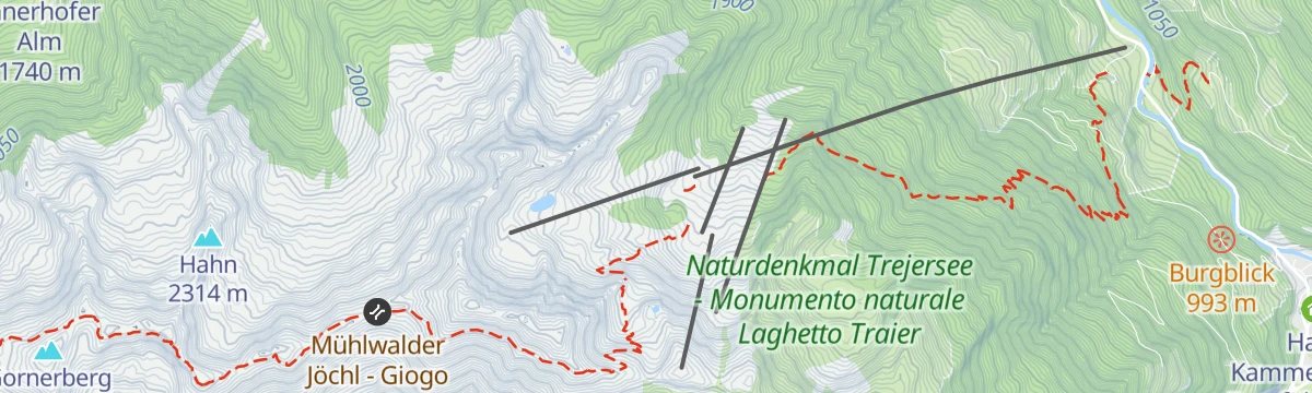
A traverse on the Speikboden from the Hühnerspiel yoke past the Trejer Alm dairies.
Everything else Trentino-Alto Adige/Südtirol has, in one place
Every route on this page with 3D terrain, GPX navigation and offline maps — including the valleys with no signal.


