
 Historic site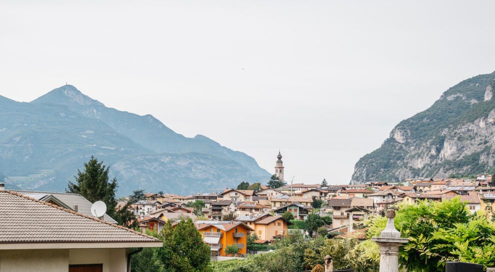



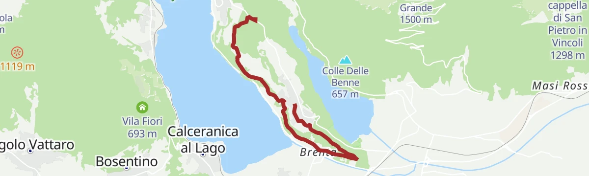

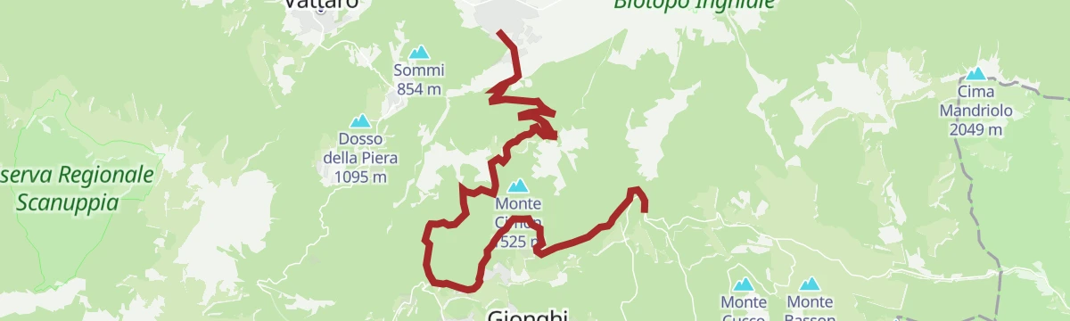
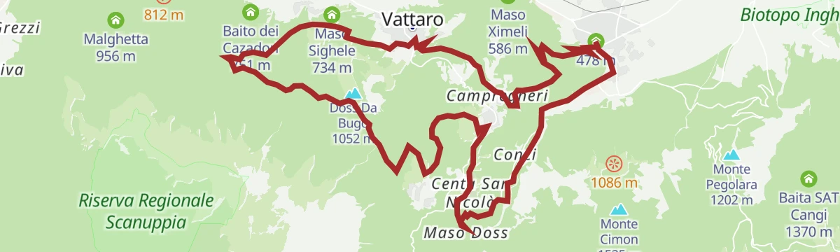
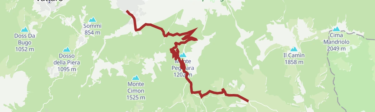





Curated by APT Valsugana e Lagorai
Caldonazzo
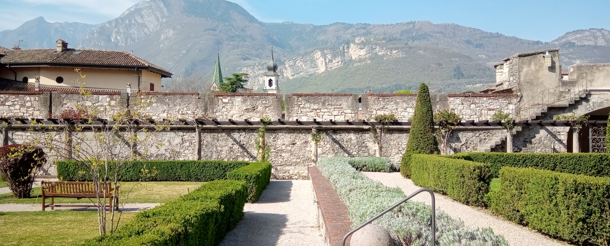
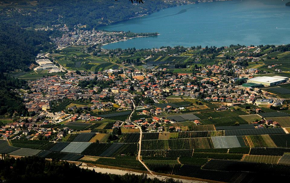
Valsugana village at the southern end of its lake, the warmest bathing water in Trentino, below the Vezzena plateau.
- 10Highlights
- 32Routes
- Featured summit · Monte Cimon
Highlights
All 10 from neighbouring places
Chiesetta di Santa Zita
6.5 km away, in Levico Terme
A small chapel above Levico Terme, on the path up towards the Panarotta.
Riserva naturale della Scanuppia
9.9 km away, in Besenello
A reserve of fir forest and pasture on the Vigolana slopes above Besenello.
Besenello, am Fuße der Burg Beseno
13.4 km away, in Besenello
The village of Besenello, at the foot of the Beseno castle ridge in the Vallagarina.
Besenello, ai piedi di Castel Beseno
13.4 km away, in Besenello
Besenello, on the Adige floor below the long ridge that carries Castel Beseno.
Castel Beseno
13.9 km away, in Besenello
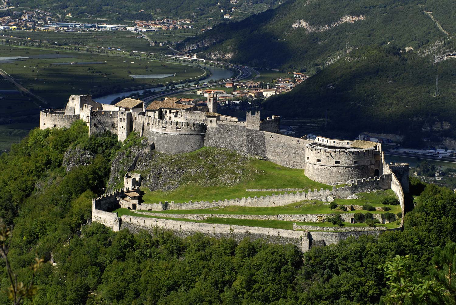
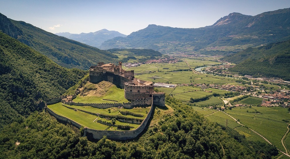
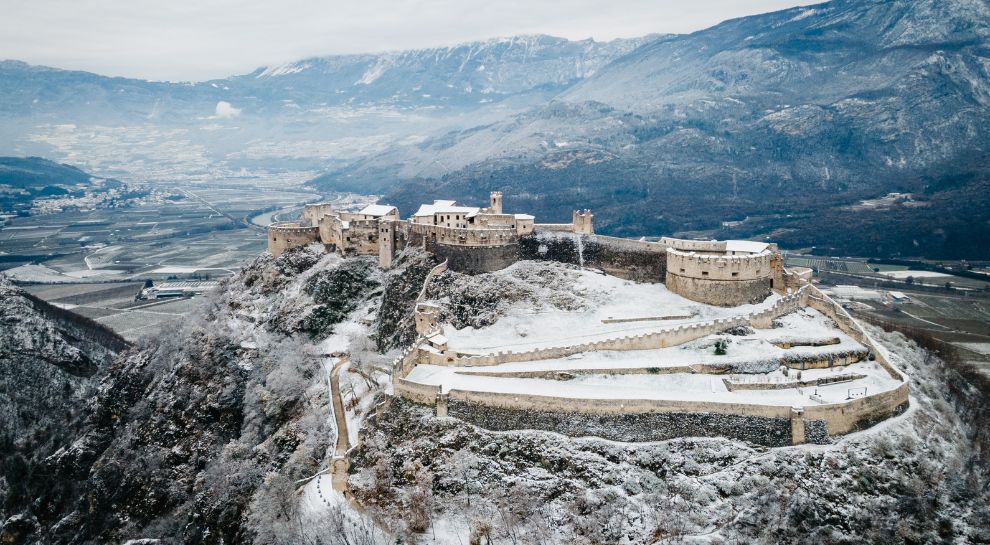
The largest fortified complex in Trentino, spread along a ridge above the Adige, held by the Trapp for centuries.
Die Burg von Beseno
13.9 km away, in Besenello
Castel Beseno above the Adige, its walls following the whole crest of the ridge.
Castel Beseno per bambini
13.9 km away, in Besenello
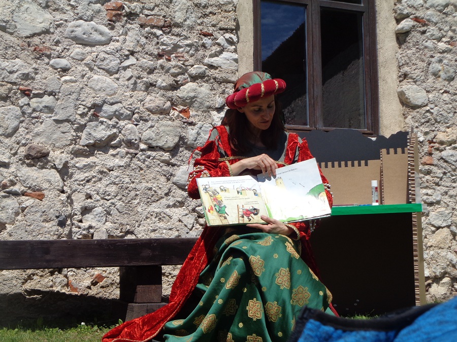
Castel Beseno's family route, with armour to handle and the tournament ground to walk.
Castello del Buonconsiglio
14.9 km away, in Trento
The residence of Trento's prince-bishops for four centuries, with the Torre Aquila and its Cycle of the Months.
Forra del Lupo
14.9 km away, in Terragnolo
A restored Austrian trench line cut along a gorge wall above Terragnolo, walkable end to end.
Nothing of this kind in Caldonazzo.
Routes
SAT / E299 - Rio Torto Path
A path down from the San Rocco chapel at Monterovere through fir forest to the Avez del Prinzipe, a white fir over 54 m tall, and the Malga Laghetto biotope.
- 4.9 km
- Distance
- 23 m
- Ascent
- 1 h 36 min
- Duration
- 5
- Check-ins
Open route Azienda per il Turismo Alpe CimbraSAT / E222 - The equipped trail of Tomazol
A cabled route above the Caldonazzo pine wood, taking a steep ledge and a rock step to the meadow on top of Monte Tamazòl.
- 3.3 km
- Distance
- 913 m
- Ascent
- 3 h 16 min
- Duration
- 5
- Check-ins
Open route Azienda per il Turismo Alpe CimbraSentiero della Pace 26: From Caldonazzo to the Malga Masi Refuge
A long Peace Trail stage from Caldonazzo across the plain to Brenta, then up a carriage road past the San Valentino hermitage towards the Malga Masi.
- 20.4 km
- Distance
- 1 497 m
- Ascent
- 7 h 32 min
- Duration
- 37
- Check-ins
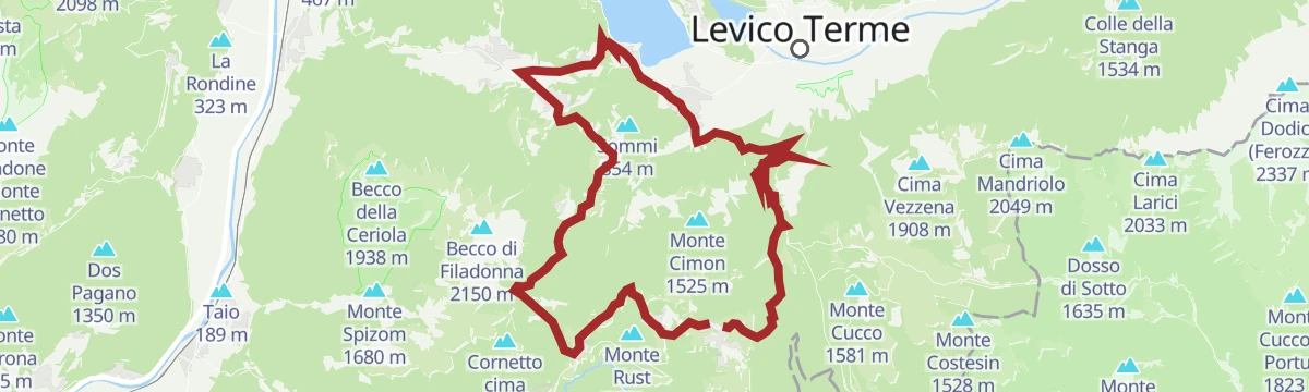
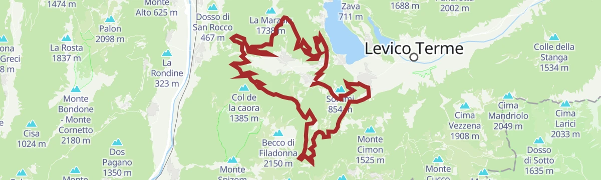
Open route APT Valsugana e Lagorai851 - Alpe Cimbra Tour
A long tour from the Alpe Cimbra down to the valley floor and back up, by the Vezzena pass.
- 63.1 km
- Distance
- 2 308 m
- Ascent
- 7 h 47 min
- Duration
- 104
- Check-ins
 Cima Norre 1 453 m
 Passo Vezzena 1 402 m
 Khesar von Kåmp - Malga Campo 1 455 m
- Malga Faé -Malga Doss del Bue 1 031 m
- Albergo Bar Ristorante Sindech 1 108 m
- Valico della Fricca 1 110 m
- +6
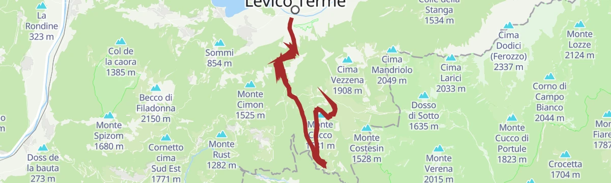
Open route Azienda per il Turismo Alpe CimbraFolgaria - Caldonazzo - Kaiserjaegerweg - Vezzena Pass - Luserna - Lavarone - Folgaria
A hard circuit from Folgaria down to Caldonazzo, then the Kaiserjägerweg up to the Vezzena pass.
- 62.2 km
- Distance
- 2 140 m
- Ascent
- 7 h 33 min
- Duration
- 90
- Check-ins
- Passo Vezzena 1 402 m
- Passo del Cost 1 290 m
- Albergo Bar Ristorante Sindech 1 108 m
- Valico della Fricca 1 110 m
- Passo Sommo 1 341 m
- Chalet Passo Sommo 1 348 m
- +4
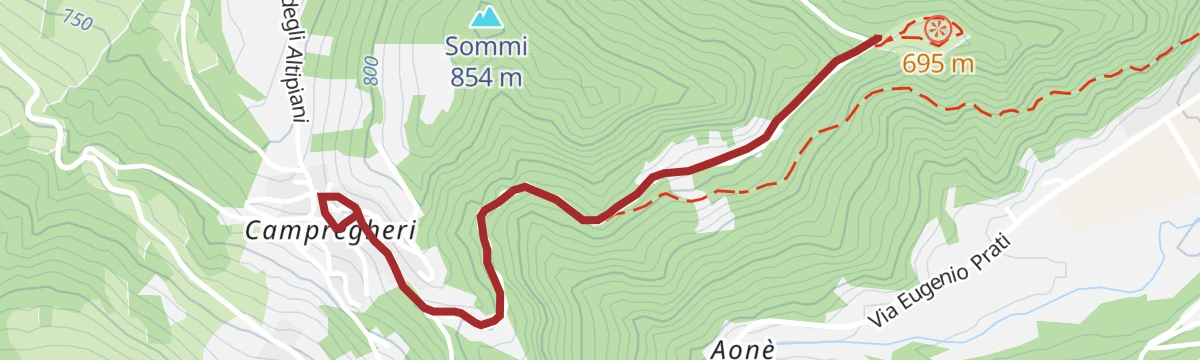
Open route Azienda per il Turismo Alpe CimbraFrom Campregheri to the Torre dei Sicconi
An easy walk through chestnut woods to the archaeological park on a hill south-west of Caldonazzo, on the ruins of a medieval castle.
- 4.1 km
- Distance
- 94 m
- Ascent
- 1 h 12 min
- Duration
Open route Azienda per il Turismo Alpe CimbraANELLO ANZA ROSSA E TORRE DEI SICCONI
A ring above Caldonazzo linking the Anza Rossa slope with the ruined Torre dei Sicconi on Monte Rive.
- 7.6 km
- Distance
- 318 m
- Ascent
- 2 h 34 min
- Duration
- 1
- Check-ins
Open route APT Valsugana e LagoraiSAT / E225 - Sentiero dei Piani
A steep path from the Caldonazzo pine wood up through mixed forest, crossing the Peace Trail at a bend that looks over the lake.
- 3.1 km
- Distance
- 1 061 m
- Ascent
- 3 h 45 min
- Duration
- 5
- Check-ins
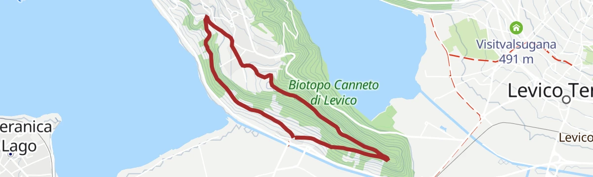
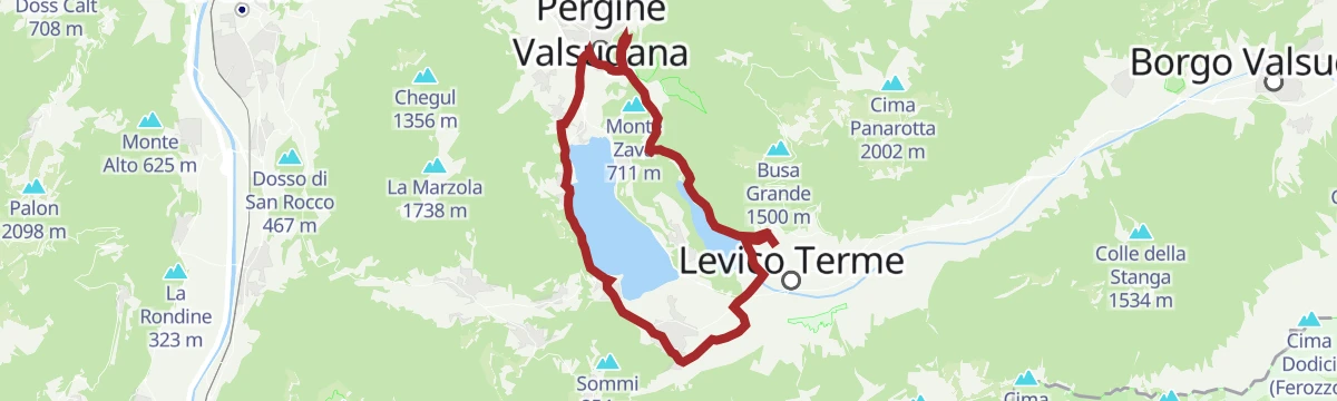
Open route Azienda per il Turismo Alpe Cimbrae-MTB - Tour around the lakes of Levico and Caldonazzo
A gentle e-mountain-bike circuit linking Levico with Pergine and back along the Caldonazzo shore, past lakeside campsites and the Parco minerario.
- 23.9 km
- Distance
- 164 m
- Ascent
- 2 h 17 min
- Duration
- 27
- Check-ins
- Parc Hotel Du Lac 454 m
- Sella di Vignola 557 m
- Parco minerario Alta Valsugana e Bersntol 475 m
- Visitvalsugana 475 m
- La Rociondola 445 m
Open route APT Valsugana e Lagorai9 lakes route
A long road tour past the lakes of the Pinè plateau and the Valsugana, over the Sella di Vignola and below Segonzano castle.
- 115.9 km
- Distance
- 2 403 m
- Ascent
- 12 h 33 min
- Duration
- 63
- Check-ins
- Dos de le Morf 956 m
- Parc Hotel Du Lac 454 m
- Dolomiti Energia 1 026 m
- Sella di Vignola 557 m
- Visitvalsugana 491 m
- APT Piné 974 m
- +15
Open route APT TrentoHiking trail - Torre dei Sicconi
A walk to the Torre dei Sicconi on Monte Rive, a watchtower of the lords of Caldonazzo blown up by Austrian engineers in 1915.
- 5.4 km
- Distance
- 236 m
- Ascent
- 1 h 52 min
- Duration
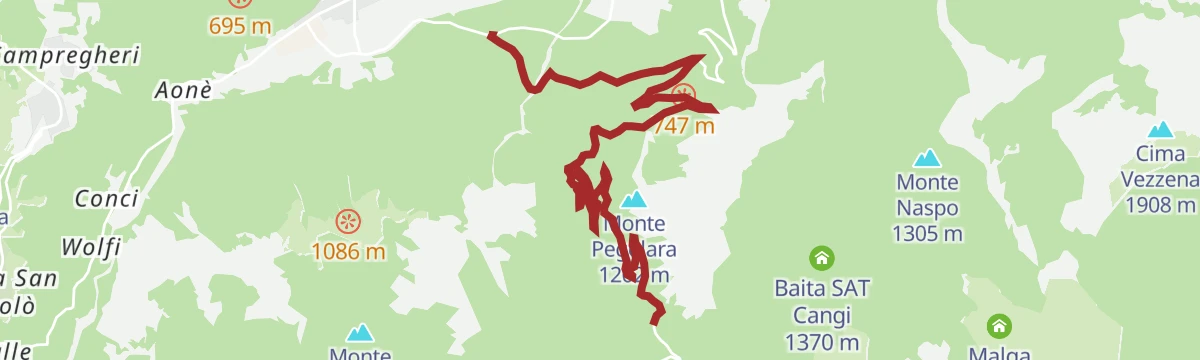
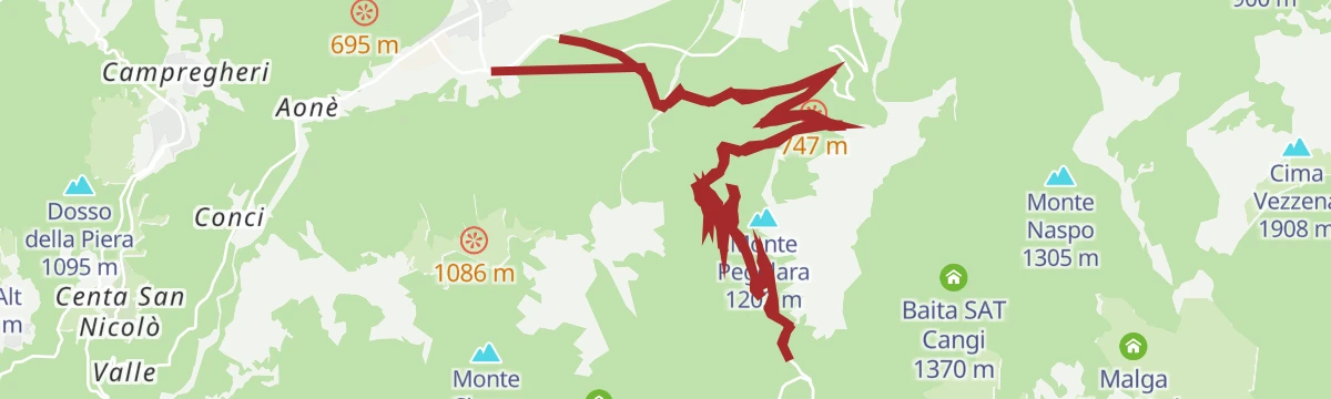
Open route APT Valsugana e LagoraiSAT / E202 - Senter dela Pegolara
A climb from Lòchere di Caldonazzo through steep mixed woods towards Monterovere, crossing the hairpins of the road repeatedly.
- 4.5 km
- Distance
- 877 m
- Ascent
- 3 h 28 min
- Duration
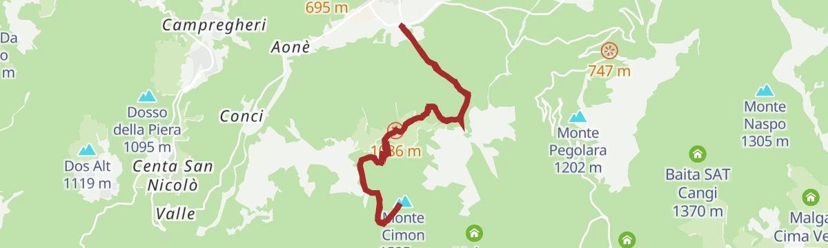
Open route Azienda per il Turismo Alpe CimbraTrek ring to Monte Cimone
A ring up the north side of Monte Cimone, taking a restored military mule track with suspension bridges over the Caldonazzo basin.
- 9.4 km
- Distance
- 1 166 m
- Ascent
- 6 h 54 min
- Duration
- 5
- Check-ins
Open route APT Valsugana e LagoraiMTB - Tour of the lakes of Levico and Caldonazzo 2342
An easy mountain-bike loop round both Valsugana lakes, crossing the Sella di Vignola and climbing to the castle hill at Pergine.
- 23.5 km
- Distance
- 173 m
- Ascent
- 2 h 15 min
- Duration
- 18
- Check-ins
Open route APT Valsugana e LagoraiLavarone - Carbonare - Calceranica - Caldonazzo - Monterovere - Gionghi
A road loop dropping off the plateau to the Valsugana lakes and climbing back up the Menador road, cut into the rock by the Kaiserjäger.
- 40.4 km
- Distance
- 1 347 m
- Ascent
- 4 h 51 min
- Duration
- 41
- Check-ins
- Passo del Cost 1 290 m
- Albergo Bar Ristorante Sindech 1 108 m
- Valico della Fricca 1 110 m
- Albergo al Bosco 922 m
Open route Azienda per il Turismo Alpe CimbraTenna - history and views - South Side
An easy walk on the south-facing slopes at Tenna, above Caldonazzo, taking in local history and views across the Valsugana.
- 6.6 km
- Distance
- 194 m
- Ascent
- 2 h 1 min
- Duration
Open route APT Valsugana e LagoraiTorrente Centa I
A route along the Centa stream, from the Valsugana floor up into the wooded gorge above Levico Terme.
- 10.6 km
- Distance
- 678 m
- Ascent
- 3 h 45 min
- Duration
Open route Trentino FishingPeace Path 25: From Monterovere hotel to Caldonazzo
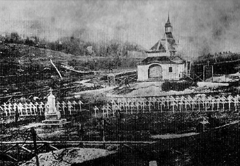
A mostly downhill Peace Trail stage from Monterovere to Caldonazzo, passing the Austrian cemetery at Slaghenaufi with its wooden crosses.
- 17.5 km
- Distance
- 271 m
- Ascent
- 5 h 29 min
- Duration
- 1
- Check-ins
Open route APT Valsugana e LagoraiMTB - Tour of ancient traditions 2346
A dirt-road tour from Caldonazzo over to Centa San Nicolò and Pian dei Pradi, taking in Rifugio Paludei and Malga Faé before the run down to Vattaro.
- 27.8 km
- Distance
- 990 m
- Ascent
- 3 h 24 min
- Duration
- 13
- Check-ins
Open route APT Valsugana e LagoraiMenador Climb - Great Climbs of Trentino
A steep road up the rock-cut Strada del Menador from the Valsugana to the Alpe Cimbra, continuing to Passo Vezzena at 1,402 m.
- 14.0 km
- Distance
- 1 254 m
- Ascent
- 2 h 20 min
- Duration
- 28
- Check-ins
Open route Azienda per il Turismo Alpe CimbraThe Anza Rossa path 11
A short out-and-back from Campregheri to a belvedere above Lake Caldonazzo, once an anti-aircraft position watching the Valsugana.
- 4.4 km
- Distance
- 135 m
- Ascent
- 1 h 22 min
- Duration
Open route Azienda per il Turismo Alpe Cimbra2360 - The 60 km of the Vigolana
A circular route linking the Vigolana terrace with the valley below, compact gravel broken by short climbs.
- 60.4 km
- Distance
- 1 845 m
- Ascent
- 7 h 6 min
- Duration
- 26
- Check-ins
- Malga Faé -Malga Doss del Bue 1 031 m
- Albergo Bar Ristorante Sindech 1 108 m
- Vila Fiori 693 m
- Marien Fried 783 m
- Verdecrudo farmhouse 609 m
- Ex Orto Forestale 987 m
- +2
Open route Azienda per il Turismo Alpe CimbraTorrente Brenta G
A short level stretch beside the river Brenta on the valley floor at Levico Terme.
- 2.5 km
- Distance
- 11 m
- Ascent
- 36 min
- Duration
Open route Trentino FishingRoadbike - Levico Terme - Passo Vezzena
A road climb from the valley floor to the Vezzena plateau on the old Kaiserjägerstrasse military road, ending among the cheese-making farms.
- 43.4 km
- Distance
- 1 614 m
- Ascent
- 5 h 22 min
- Duration
- 26
- Check-ins
Open route APT Valsugana e LagoraiWalk - San Valentino and the Fort of Tenna
An easy route from the hamlet of Brenta through orchards above Lake Caldonazzo, past the San Valentino church to the fort at Tenna.
- 4.2 km
- Distance
- 145 m
- Ascent
- 1 h 20 min
- Duration
Open route APT Valsugana e LagoraiThe Valsugana Cycling Path
A valley cycle path from the lake at Caldonazzo down the Brenta to Bassano del Grappa, passing the Grotte di Oliero near the end.
- 82.0 km
- Distance
- 489 m
- Ascent
- 7 h 51 min
- Duration
- 24
- Check-ins
- Al Confin 205 m
- Lagorai Valsugana Orientale 383 m
- APT Valsugana 386 m
- Grotte di Oliero €12 145 m
- Casa Sbara 217 m
- Allevamento suini 272 m
- +2
Open route APT Valsugana e LagoraiWalk - Torre dei Sicconi
A simple stroll to the tower ruins through chestnut woods that stay cool in summer and turn colour in autumn; a pushchair can manage it.
- 3.6 km
- Distance
- 86 m
- Ascent
- 1 h 4 min
- Duration
Open route APT Valsugana e LagoraiRoadbike - Lakes Levico and Caldonazzo - and Tenna Hill
A road loop from the Valsugana lake shores up to Pergine, back on the cycle path through the apple orchards, with the Colle di Tenna as a variant.
- 37.8 km
- Distance
- 448 m
- Ascent
- 3 h 47 min
- Duration
- 23
- Check-ins
- Parc Hotel Du Lac 454 m
- Sella di Vignola 557 m
- Parco minerario Alta Valsugana e Bersntol 475 m
- Visitvalsugana 475 m
- La Rociondola 445 m
Open route APT Valsugana e LagoraieBike - Castle Pergine
An e-bike outing from Levico along the Caldonazzo shore and the orchards, climbing at the end to the castle hill above Pergine.
- 25.4 km
- Distance
- 363 m
- Ascent
- 2 h 36 min
- Duration
- 23
- Check-ins
- Colle del Castello 655 m
- Parc Hotel Du Lac 454 m
- Sella di Vignola 557 m
- Visitvalsugana 491 m
- La Rociondola 445 m
Open route APT Valsugana e LagoraiCiclovia della Valsugana
The Valsugana cycleway, named Italy's greenest in 2020, running the length of the valley from west to east.
- 69.5 km
- Distance
- 125 m
- Ascent
- 6 h 21 min
- Duration
- 10
- Check-ins
Menador
A short, steep road climb out of Caldonazzo in the Valsugana, gaining more than 900 m in barely 8 km.
- 8.2 km
- Distance
- 941 m
- Ascent
- 1 h 35 min
- Duration
Open route VisitTrentinoRoadbike - Legendary climbs - Menador
The Kaiserjägerweg above Caldonazzo, a wartime military road to the Lavarone and Vezzena forts that holds a gradient over 9 percent throughout.
- 17.8 km
- Distance
- 1 010 m
- Ascent
- 2 h 43 min
- Duration
Open route APT Valsugana e Lagorai
No routes of this kind in Caldonazzo yet.
The region's own picks

Featured route
SAT / E299 - Rio Torto Path
A path down from the San Rocco chapel at Monterovere through fir forest to the Avez del Prinzipe, a white fir over 54 m tall, and the Malga Laghetto biotope.
Planning a trip to Caldonazzo?
Everything else Trentino-Alto Adige/Südtirol has, in one place


Take Caldonazzo with you into the mountains
Every route on this page with 3D terrain, GPX navigation and offline maps — including the valleys with no signal.
Data sources
- Official website: visitvalsugana.it ↗
- Routes and highlights: APT Valsugana e Lagorai, Azienda per il Turismo Alpe Cimbra, Visitrovereto, Trentino Fishing, Astrotourism, Italia.it, APT Trento, Visit Trentino, VisitTrentino
- Published as open data by the tourist boards named above.
- Region summary generated from the board's own material.
