
Curated by Alpenregion Vorarlberg
Bürs
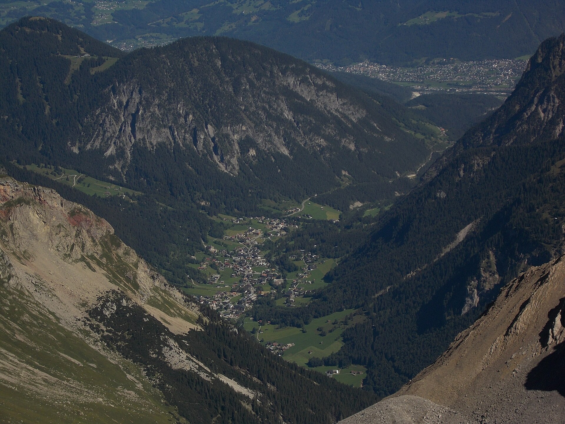
At the mouth of the Brandnertal beside Bludenz, its wild Bürser Schlucht gorge carved through conglomerate by the Alvier brook.
- 4Highlights
- 20Routes
Highlights
11 from neighbouring places
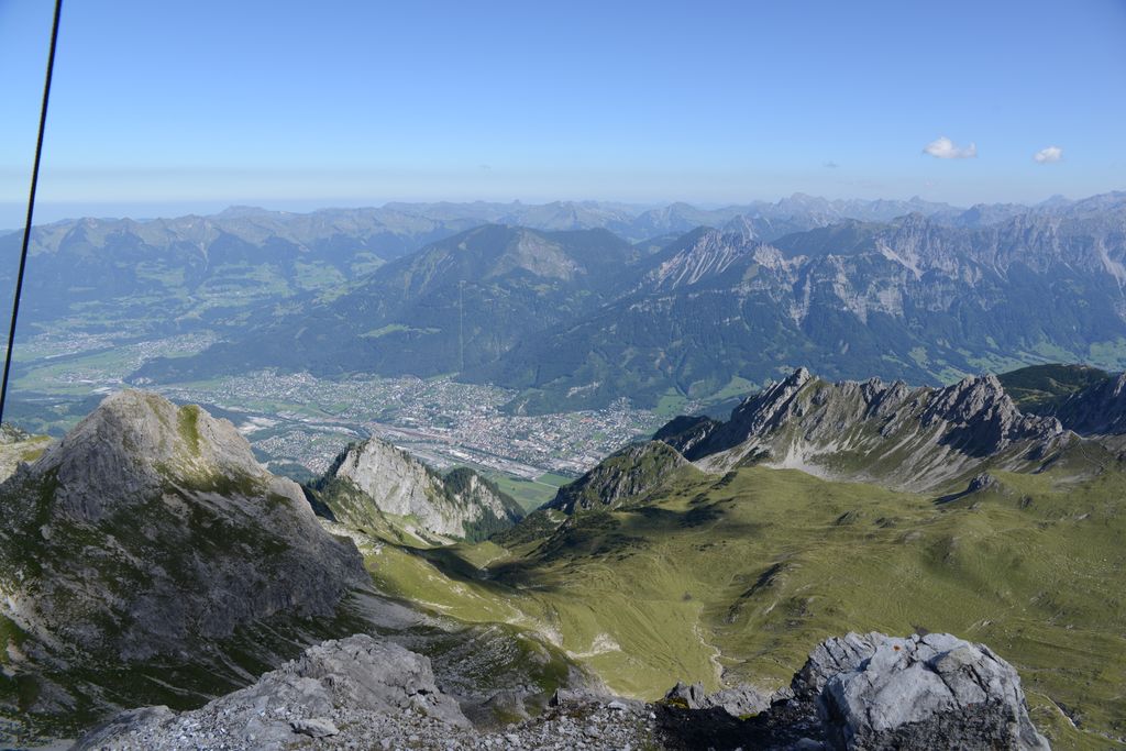
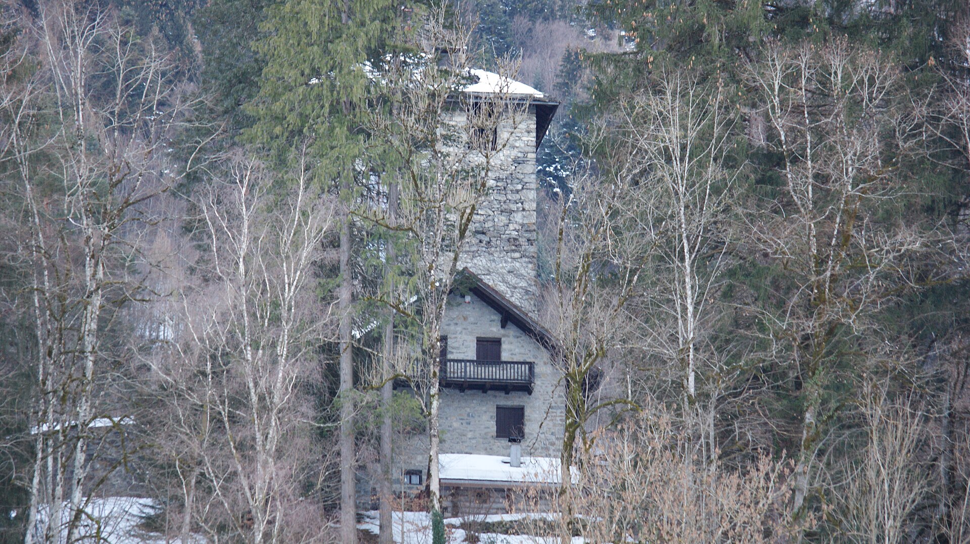
Burg Rosenegg
A medieval hilltop castle on the easternmost spur of the Schaß, southeast of the village.
 Natural feature Feel free to use my photos, but please mention me as the author and if you want send me a message. or (rufre@lenz-nenning.at) · CC BY-SA 3.0 at
Gottvaterspitze
One of the peaks closing the head of the Sarotla valley, beside the Zimba.
 Mountain hut Feel free to use my photos, but please mention me as the author and if you want send me a message. or (rufre@lenz-nenning.at) · CC BY-SA 3.0 at
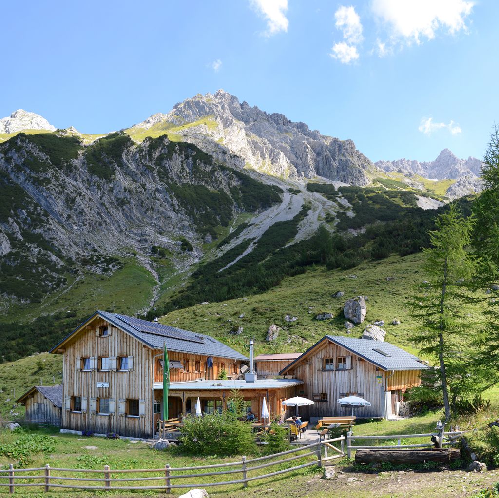
Sarotlahütte
A small hut at the end of the Sarotla valley, closed in by the Zimba and the Gottvaterspitze.
Pfarrkirche St. Martin
The parish church of Bürs, on the old road at the mouth of the Brandnertal.
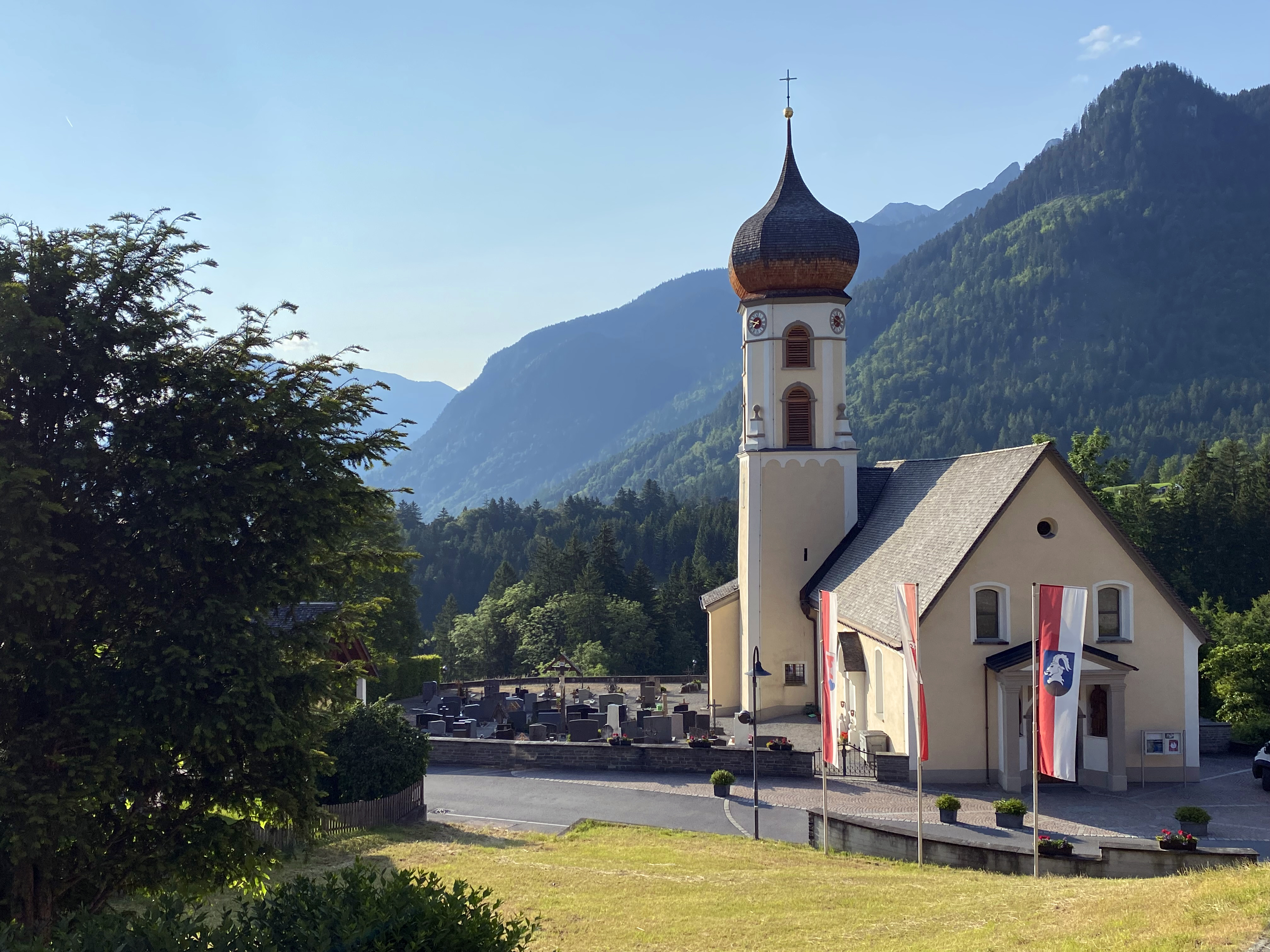
Pfarrkirche "Heiliger Josef"
2.3 km away, in Bürserberg
Bürserberg broke away from the parish of Bürs in 1736, and the church took on its baroque character then.
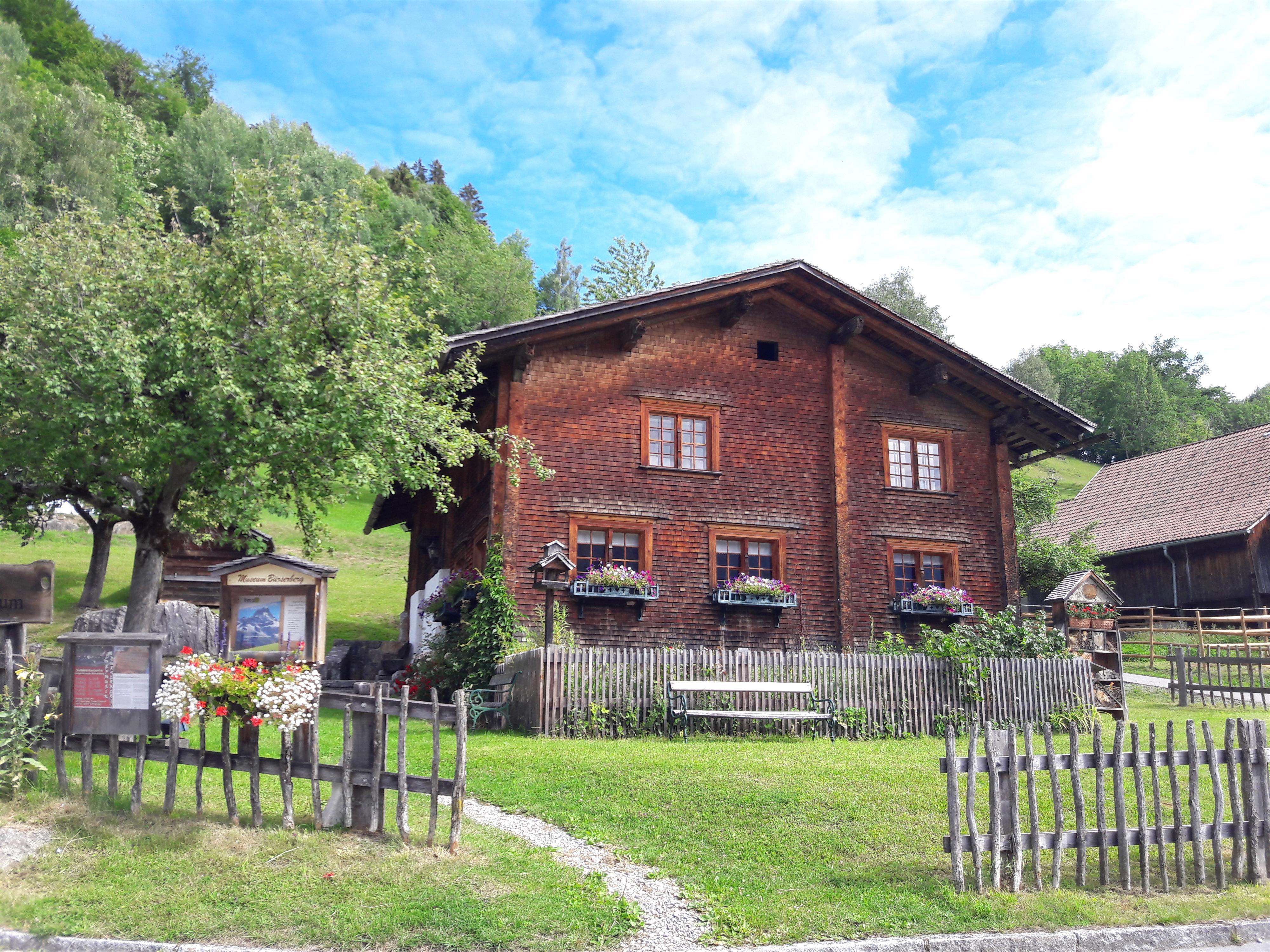
Heimatmuseum Paarhof Buacher
2.4 km away, in Bürserberg
A paired farmhouse kept as it was, showing how a family here lived off the slope.
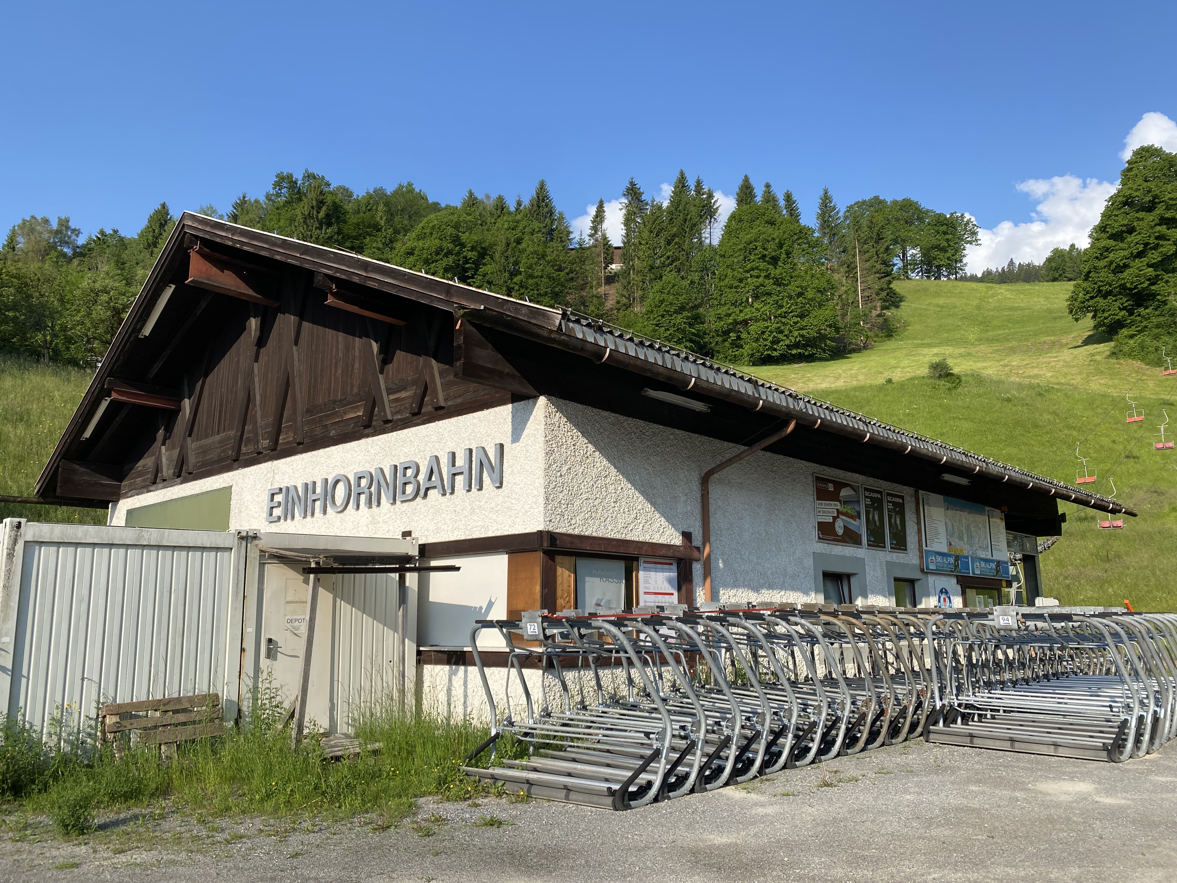
Einhornbahn I
2.6 km away, in Bürserberg
The lifts here date from 1971/72; the area was later joined to Brand across the valley.
Rufana Alp
3.1 km away, in Bürserberg
A working alp on the Bürserberg slope, and a place to stop on the way up.
 Natural feature Feel free to use my photos, but please mention me as the author and if you want send me a message. or (rufre@lenz-nenning.at) · CC BY-SA 3.0 at
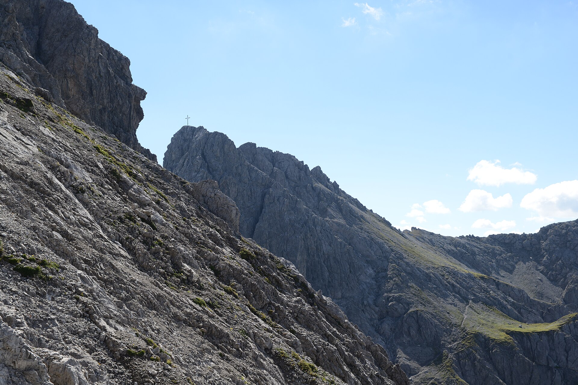
Großer Valkastiel
3.1 km away, in Vandans
A limestone summit on the ridge that divides the Brandnertal from the Montafon.
Taleu
3.2 km away, in Bürserberg
A quiet top on the shelf above the village, on the way over to the Loischkopf.
Berggasthaus Zimba
3.3 km away, in Bürserberg
A mountain inn near the gondola station, named for the peak it looks across at.
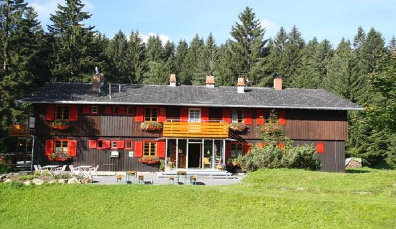
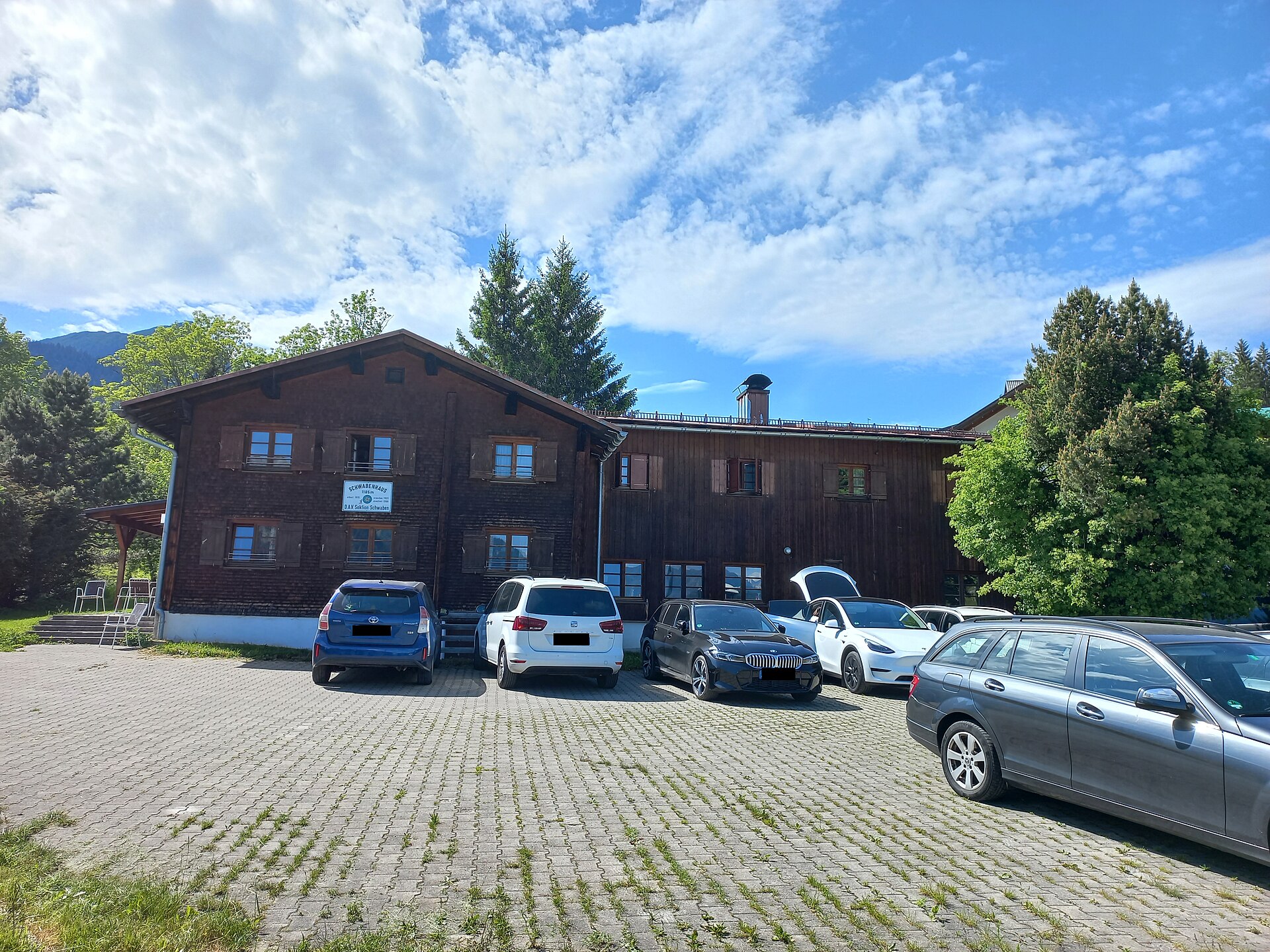
Schwabenhaus
3.3 km away, in Bürserberg
A self-catering hut of the Swabian DAV section, inside the Brandnertal ski area.
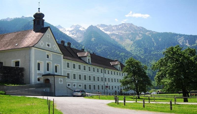
Kloster St. Peter
3.6 km away, in Bludenz
A Dominican convent at the eastern edge of town, where the Montafon and the Klostertal begin — the oldest still standing in Vorarlberg.
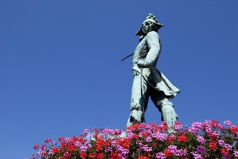
Riedmiller-Denkmal
3.8 km away, in Bludenz
A monument to Bernhard Riedmiller, captain of the Bludenz militia.
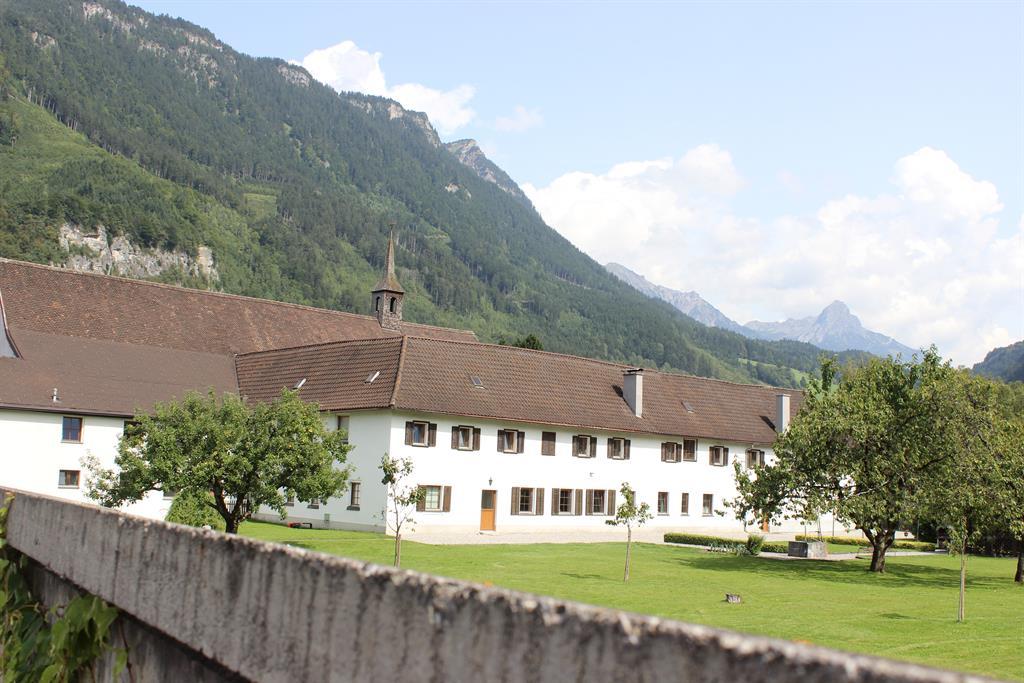
Franziskanerkloster Bludenz
3.8 km away, in Bludenz
Founded by Capuchins in 1645; when they withdrew in 1991 the house passed to twenty-one parishes of the Bludenz region.
 Historic site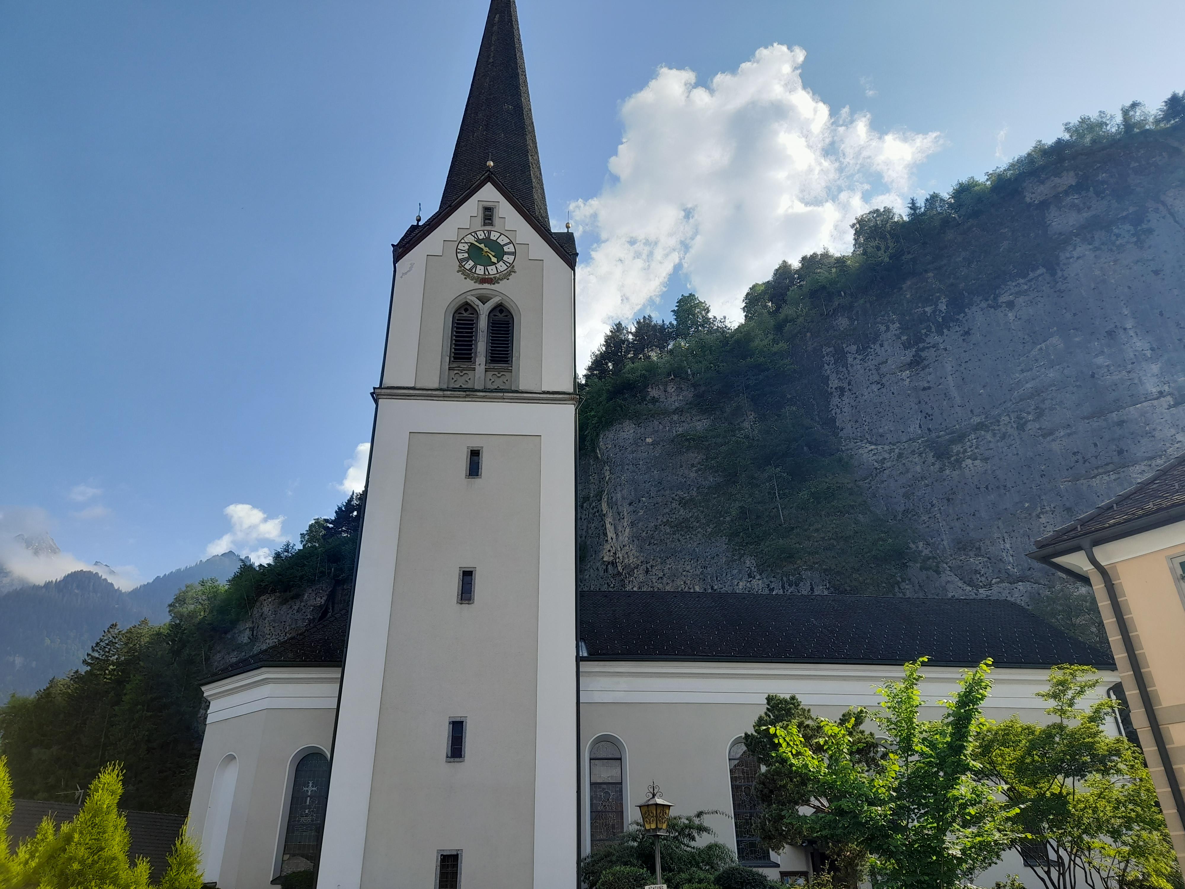
 Cable car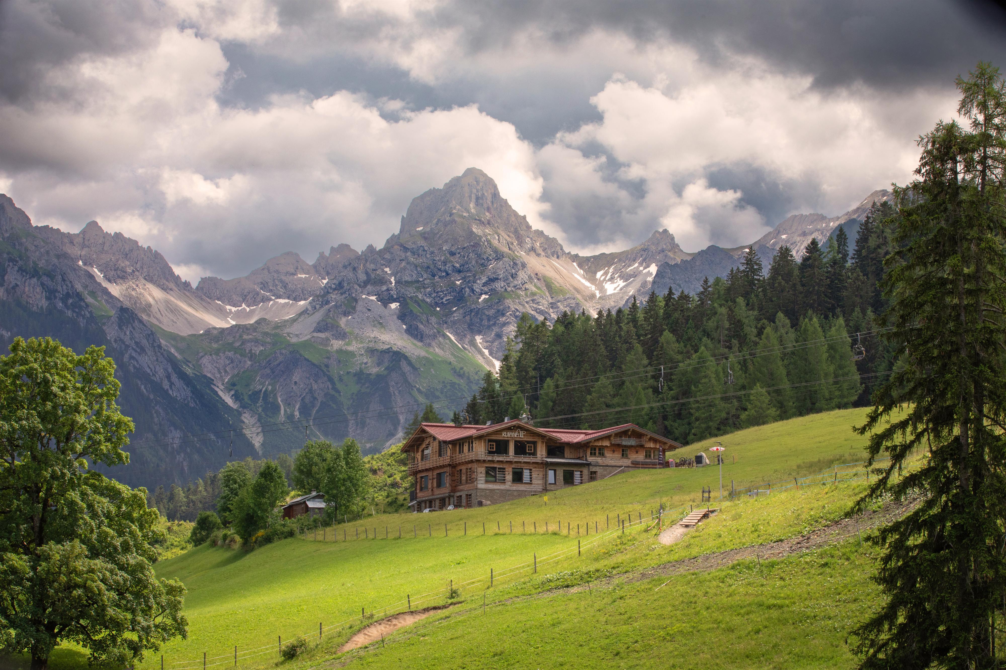
Nothing of this kind in Bürs.
Routes
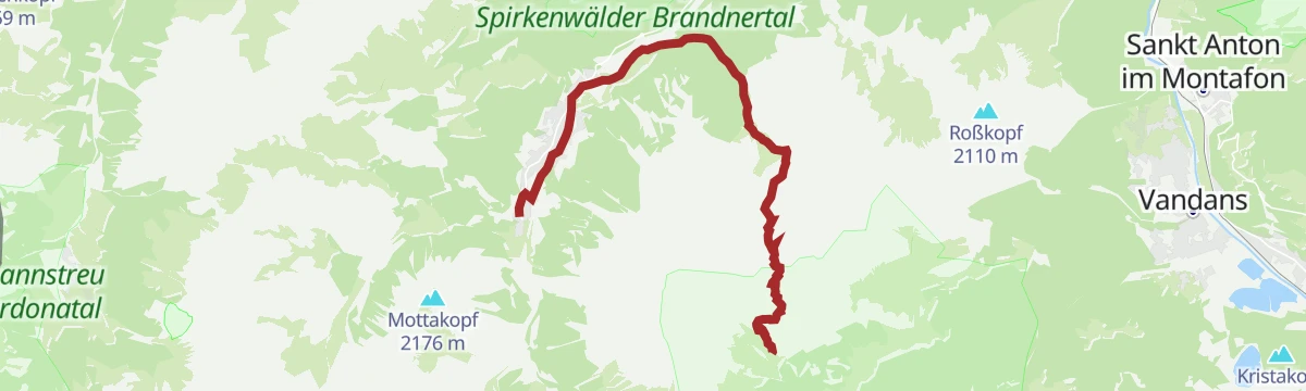
5-Tages-Hüttentour im Rätikon (Etappe 5)
The last day of the five-day Rätikon hut round, an easy descent into Brand.
- 5.1 km
- Distance
- 64 m
- Ascent
- 2 h 6 min
- Duration
Open route Alpenregion Vorarlberg2-Tages Tour Heinrich-Hueter/Sarotla Hütte (Etappe 2)
The second day of the Saulasteig and Zimbajoch round, dropping back into the valley.
- 10.1 km
- Distance
- 706 m
- Ascent
- 6 h 17 min
- Duration
Open route Alpenregion Vorarlberg2-Tages Tour Heinrich-Hueter/Sarotla Hütte (Etappe 1)
The first day of a two-day round by the Saulasteig and the Zimbajoch, sleeping at the Heinrich-Hueter or Sarotla hut.
- 11.4 km
- Distance
- 1 265 m
- Ascent
- 7 h 33 min
- Duration
Open route Alpenregion Vorarlberg5-Täler Mountainbike-Stern-Tour (Etappe 1)
The first day of the five-valley mountain-bike round ridden as a star from a base in Bludenz.
- 30.7 km
- Distance
- 1 259 m
- Ascent
- 3 h 55 min
- Duration
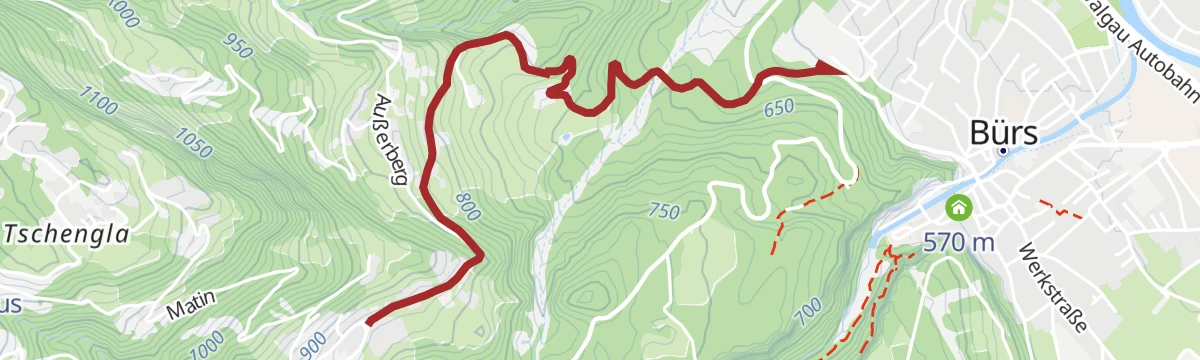
Open route Alpenregion VorarlbergAußerbergweg
A winter walk from Bürs up to Bürserberg, open the whole way to the alpine town of Bludenz.
- 3.0 km
- Distance
- 254 m
- Ascent
- 1 h 8 min
- Duration
Open route Alpenregion VorarlbergZur Sarotla Hütte
Up the Sarotla valley to its rustic hut, closed in by the Zimba, the Zwölferkopf and the Gottvaterspitze.
- 11.0 km
- Distance
- 754 m
- Ascent
- 5 h 4 min
- Duration
Open route Alpenregion Vorarlberg2-Tages-Hüttentour Heinrich-Hueter-Hütte
Two days over the Zimbajoch with a night at the Heinrich-Hueter-Hütte, under the Zimba's spire.
- 36.9 km
- Distance
- 2 860 m
- Ascent
- 18 h 33 min
- Duration
Open route Alpenregion Vorarlberg5-Täler Mountainbike-Tour (Etappe 1)
The first stage of the five-valley tour, linking the valleys around Bludenz in four days.
- 23.9 km
- Distance
- 1 279 m
- Ascent
- 3 h 7 min
- Duration
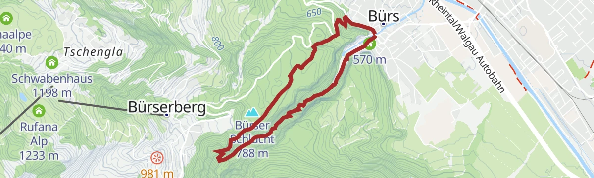
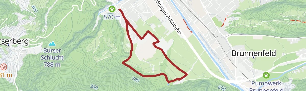
Open route Alpenregion VorarlbergBürser Schlucht
A round through the Bürser gorge, a rare cut into recent earth history with near-primeval woodland.
- 5.0 km
- Distance
- 258 m
- Ascent
- 1 h 51 min
- Duration
Open route Alpenregion Vorarlberg2-Tages-Hüttentour Heinrich-Hueter-Hütte (Etappe 1)
The climb up to the Heinrich-Hueter-Hütte, first day of the Zimbajoch round.
- 12.5 km
- Distance
- 1 460 m
- Ascent
- 7 h 26 min
- Duration
Open route Alpenregion VorarlbergBrandnertal-Rundtour
A mountain-bike round of the Brandnertal, climbing off the valley floor and back.
- 31.4 km
- Distance
- 1 357 m
- Ascent
- 4 h 4 min
- Duration
Open route Alpenregion VorarlbergHinterburg-Rundweg
An unhurried loop around the Hinterburg on the valley floor at Bürs.
- 5.0 km
- Distance
- 67 m
- Ascent
- 1 h 20 min
- Duration
Open route Alpenregion Vorarlberg3-Tages-Tour Heinrich-Hueter-/Lindauer Hütte (Etappe 1)
The first day of a three-day hut round, leaving Brand Innertal for the Heinrich-Hueter-Hütte.
- 12.2 km
- Distance
- 1 453 m
- Ascent
- 7 h 21 min
- Duration
Open route Vorarlberg TourismusGraveltour Brandnertal
A gravel round from Bludenz to Brand and back by the Parpfienzalpe, Nenzing and Schnifis.
- 57.3 km
- Distance
- 1 873 m
- Ascent
- 6 h 51 min
- Duration
Open route Vorarlberg TourismusHinterburgweg-Letschaweg
The Hinterburg and Letscha ways joined into one flat round through Bürs.
- 5.9 km
- Distance
- 78 m
- Ascent
- 1 h 34 min
- Duration
Open route Alpenregion VorarlbergÜbers Zimbajoch zum Lünersee
A demanding crossing through the Sarotlatal and over the Zimbajoch to the Lünersee.
- 16.9 km
- Distance
- 1 926 m
- Ascent
- 10 h 30 min
- Duration
Open route Alpenregion VorarlbergGraveltour Brandnertal – Walgau
A long gravel round from Bludenz up the Brandnertal and back across the Walgau, steep in places.
- 57.4 km
- Distance
- 1 528 m
- Ascent
- 6 h 32 min
- Duration
Open route Vorarlberg TourismusMärchen- & Sagenweg
A short family loop in Bürs, told along the way in fairy tales and local legends.
- 2.9 km
- Distance
- 62 m
- Ascent
- 50 min
- Duration
Open route Alpenregion VorarlbergVon Bürs nach Brand
An unhurried ride on the old road, following the Alvierbach from Bürs all the way in to Brand.
- 17.9 km
- Distance
- 729 m
- Ascent
- 2 h 17 min
- Duration
Open route Alpenregion VorarlbergWiesleweg
An easy path with the Sarotlatal below and the Zimba ahead, the peak they call Vorarlberg's Matterhorn.
- 4.6 km
- Distance
- 120 m
- Ascent
- 1 h 27 min
- Duration
Open route Alpenregion Vorarlberg








No routes of this kind in Bürs yet.
Planning a trip to Bürs?
Everything else Vorarlberg has, in one place


Take Bürs with you into the mountains
Every route on this page with 3D terrain, GPX navigation and offline maps — including the valleys with no signal.
Data sources
- Official website: www.vorarlberg-alpenregion.at ↗
- Routes and highlights: Alpenregion Vorarlberg, PeakVisor / OpenStreetMap, Vorarlberg Tourismus
- Published as open data by the tourist boards named above.
- Region summary generated from the board's own material.
